







Faith trail 22 - From the Valley of Love to the Kaiser mountain
Úroveň náročnosti: T1
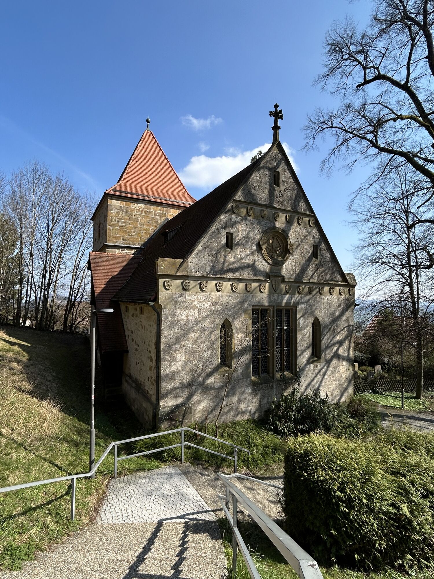
If you visit Ottenbach for the first time, you quickly understand why the community is called the Allgäu of the Göppingen district. 45 outlying farms amid gentle meadows with pasture farming characterize...
If you visit Ottenbach for the first time, you quickly understand why the community is called the Allgäu of the Göppingen district. 45 outlying farms amid gentle meadows with pasture farming characterize the landscape. Of course, this landscape space immediately invites you to hike and cycle, although the surrounding mountain slopes require good fitness. The town itself lies in the valley floor surrounded by the Kaiser mountains Hohenstaufen and Rechberg and is therefore excellently visible from the ridges of the Rehgebirge and the Aasrücken. From all sides, the parish church St. Sebastian particularly catches the eye, truly built by ancestors in an ideal place. The hamlet of Kitzen also contributes to the rural-idyllic appearance.
Community Ottenbach
Hauptstraße 4 | 73113 Ottenbach
07165 91291-0 | info@ottenbach.de | www.ottenbach.de

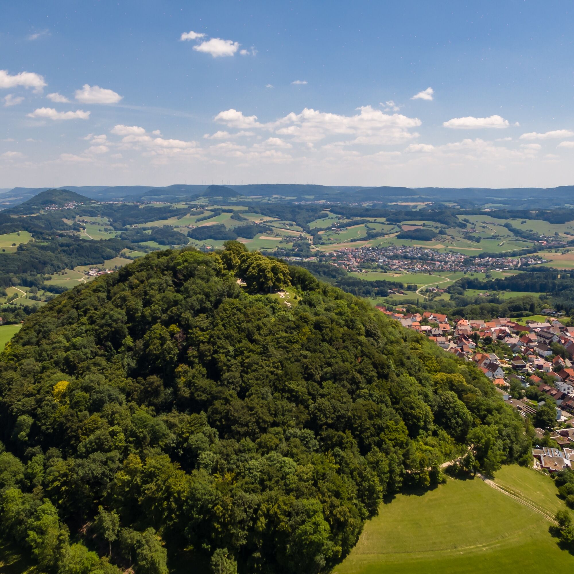

The circular hike starts at the forest parking lot near Ottenbach and no longer goes via Stixenhof to Hohenstaufen. Now you hike west from the parking lot to the Oberer Merzenhof. After passing it, hikers keep left towards Hohenstaufen. After crossing the L1075, the path continues right into Bruckhölzer Street up to Kaiserbergsteige. Uphill past the Staufer exhibition at Hohenstaufen and then up the footpath half-left to the Hohenstaufen mountain.
A narrow path then leads down from the north side of the mountain to the youth hostel. From there you cross the L1075 towards Aasrücken at the bus stop. Walking right along the road, you reach Aasrücken and then on the paved path gently down right to Buhlbächle without crossing Oberer Stixenhof. After Buhlbächle, it goes uphill again with a clear view to Hohenstaufen. After reaching Ottenbacher Street, you keep left towards Oberer Merzenhof to reach the starting point.
Wear sturdy, non-slip footwear and weather-appropriate clothing. A backpack with water, snacks, and first aid equipment is recommended.
Some paths may be slippery and dangerous when wet. Watch your steps and use hiking poles for stability if necessary.
RE5/MEX16 to Göppingen, then bus line 933 to Hohenstaufen or line 941 to Ottenbach. From Hohenstaufen, you can reach the starting point in about 30 minutes on foot.
You can find the circular schedule at: www.vvs.de/fahrplan
Forest parking lot Ottenbach
T1
Respectful coexistence in the Göppingen district
Code of conduct:
Respect path closures and the quiet zones developed in the leisure path concept. Do not leave any traces such as litter or animal droppings, treat your path gently. Act prudently and considerately. Adjust your behavior to the respective situation. Safety comes first. Respect other users of forest and countryside. Take care of animals and plants. Plan ahead and use daylight. Try to avoid dusk in the morning and evening. Observe the prohibition of entering agriculturally used areas during the growing season. Stay on the designated paths and avoid forest edges so that wild animals can better get used to humans.More information at ruecksicht-macht-wege-breiter.de
Changed route!
Not continuously suitable for strollers. Hikers with strollers are advised to go right after the stairs between the churches on the mountain in Hohenstaufen until the sign "Aasrücken", then go right down to the youth hostel.
Obľúbené výlety v okolí
-
4,5
Löwenpfad "Orchideenpfad" - Herbs, Pasqueflower and Juniper Heathlands
strednáTuristika 9,33 km -
4,9
Löwenpfad "Staufer-Runde" - Barbarossa's traces before a dreamlike backdrop
strednáTuristika 11,3 km -
5,0
Löwenpfad "Heldentour" - The king stage of the Löwenpfade
ťažkéTuristika 23,6 km -
4,5
Löwenpfad "Weitblick-Tour" - High up and far-reaching view
ťažkéTuristika 12,0 km -
3,7
Löwenpfad "Wasserberg-Runde" - pure panorama and typical Swabian Jura landscapes
ťažkéTuristika 12,0 km -
3,5
Lion trail "Messelberg tour" - hiking with impressive views
strednáTuristika 7,72 km -
3,0
Three Emperors' Mountains Loop Hike
ťažkéTuristika 25,8 km -
4,5
Löwenpfad "Schloss-Filseck-Runde" - castle stories and lake dreams
svetloTuristika 3,97 km -
5,0
Blicklestour Lauterstein
ťažkéTuristika 13,8 km -
5,0
Path of Faith 15 - Heldenberg Trail
strednáTuristika 8,02 km
Turistika a stopovanie


Nenechajte si ujsť ponuky a inšpiráciu na ďalšiu dovolenku
Vaša e-mailová adresa bol pridaný do poštového zoznamu.





