







Lauterbacher Hiking Trail - "Qualitätsweg Wanderbares Deutschland"
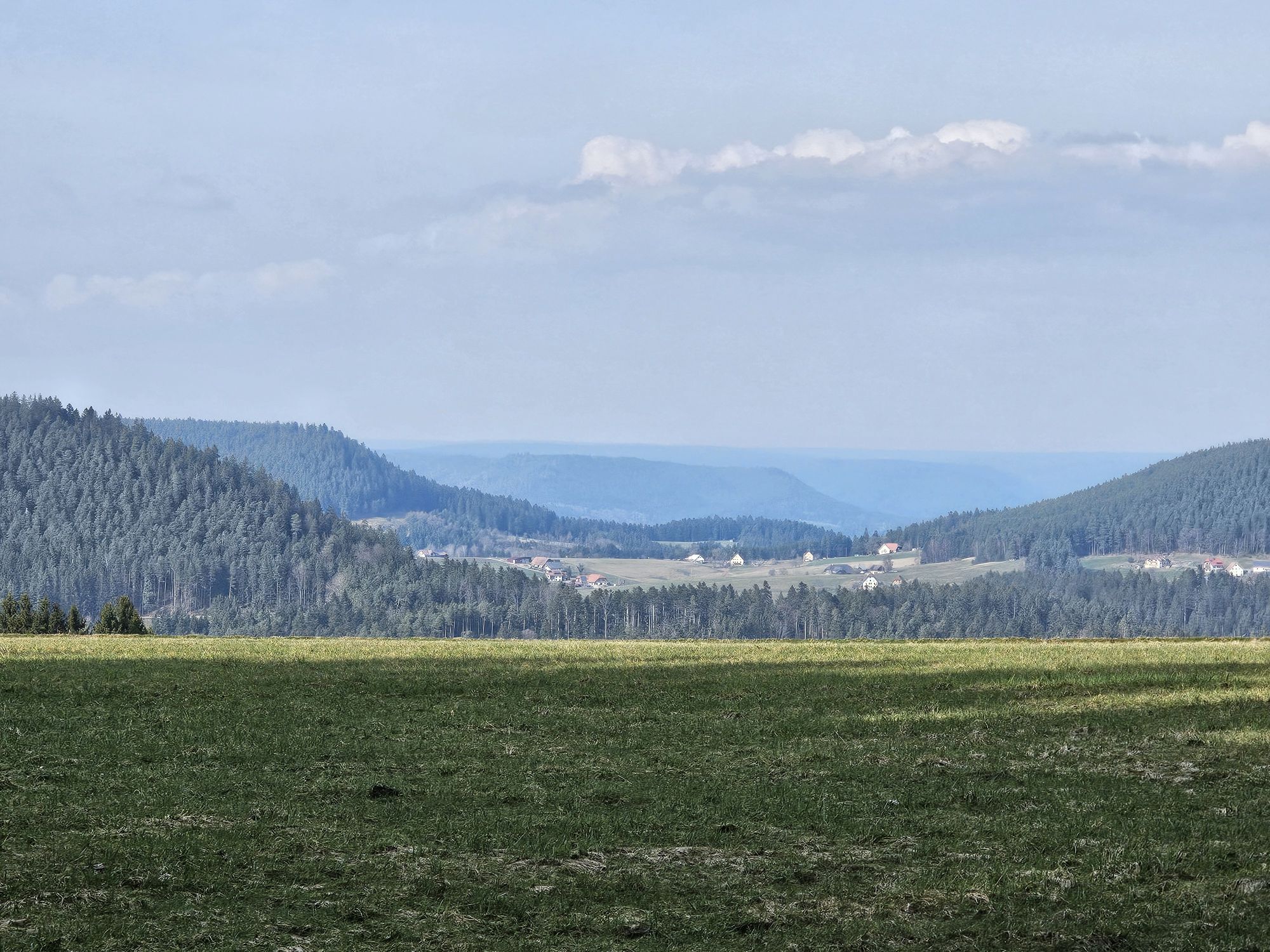
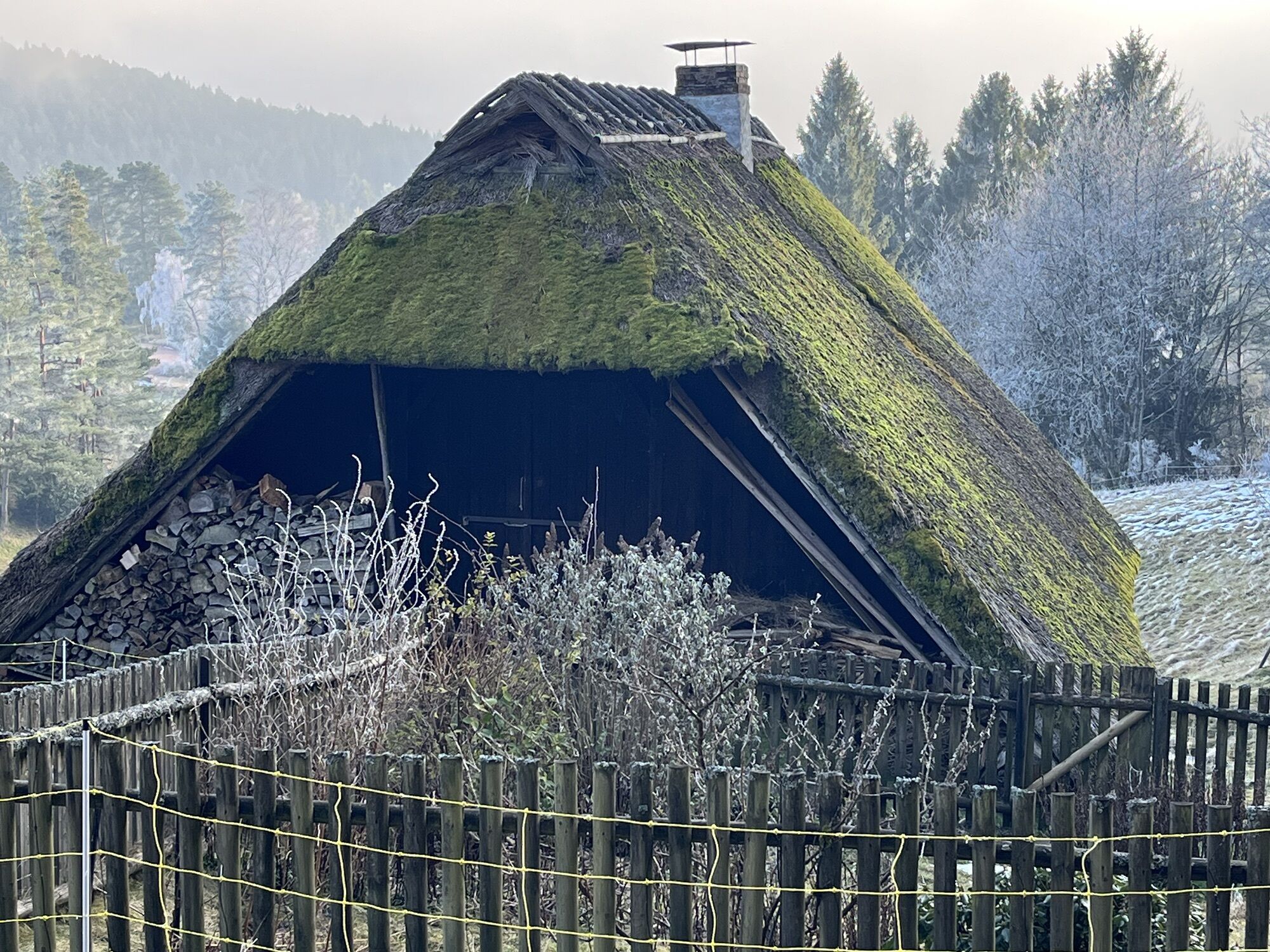
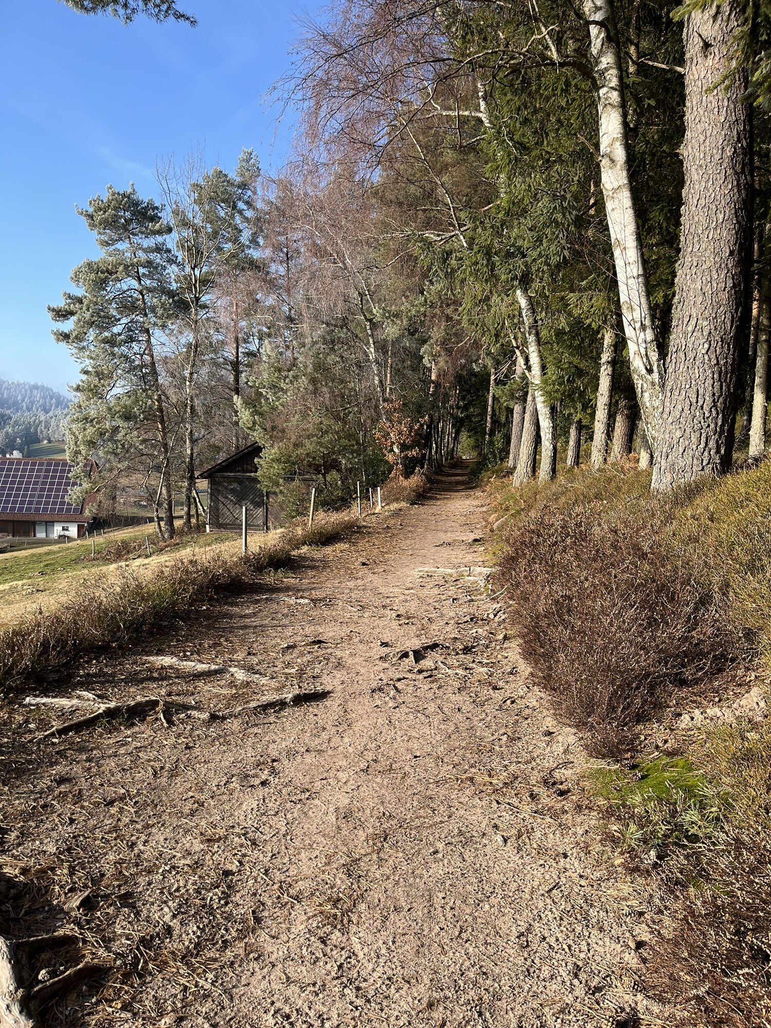
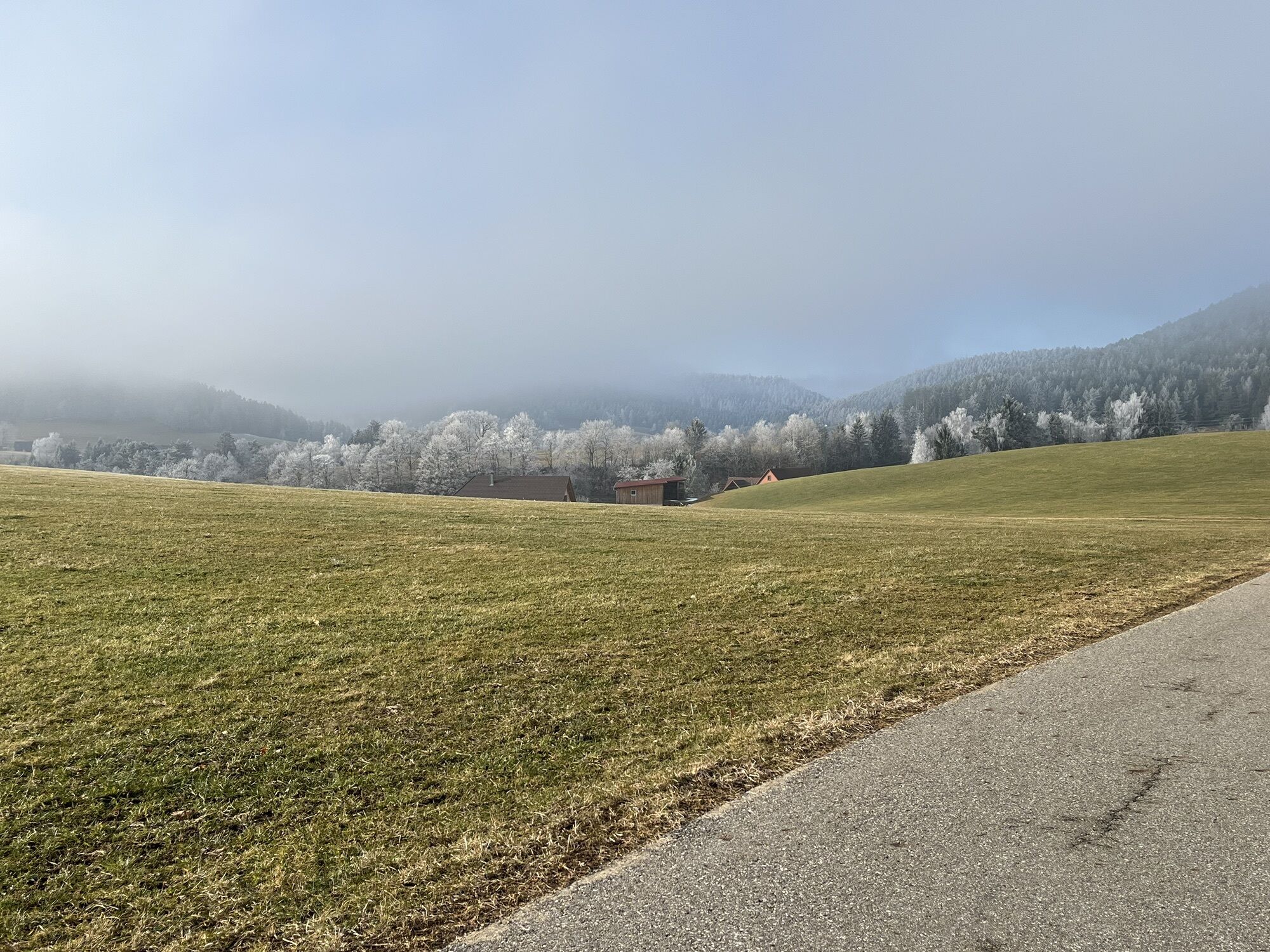
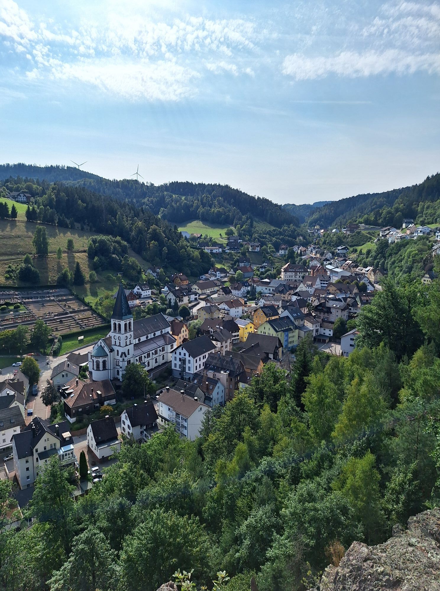
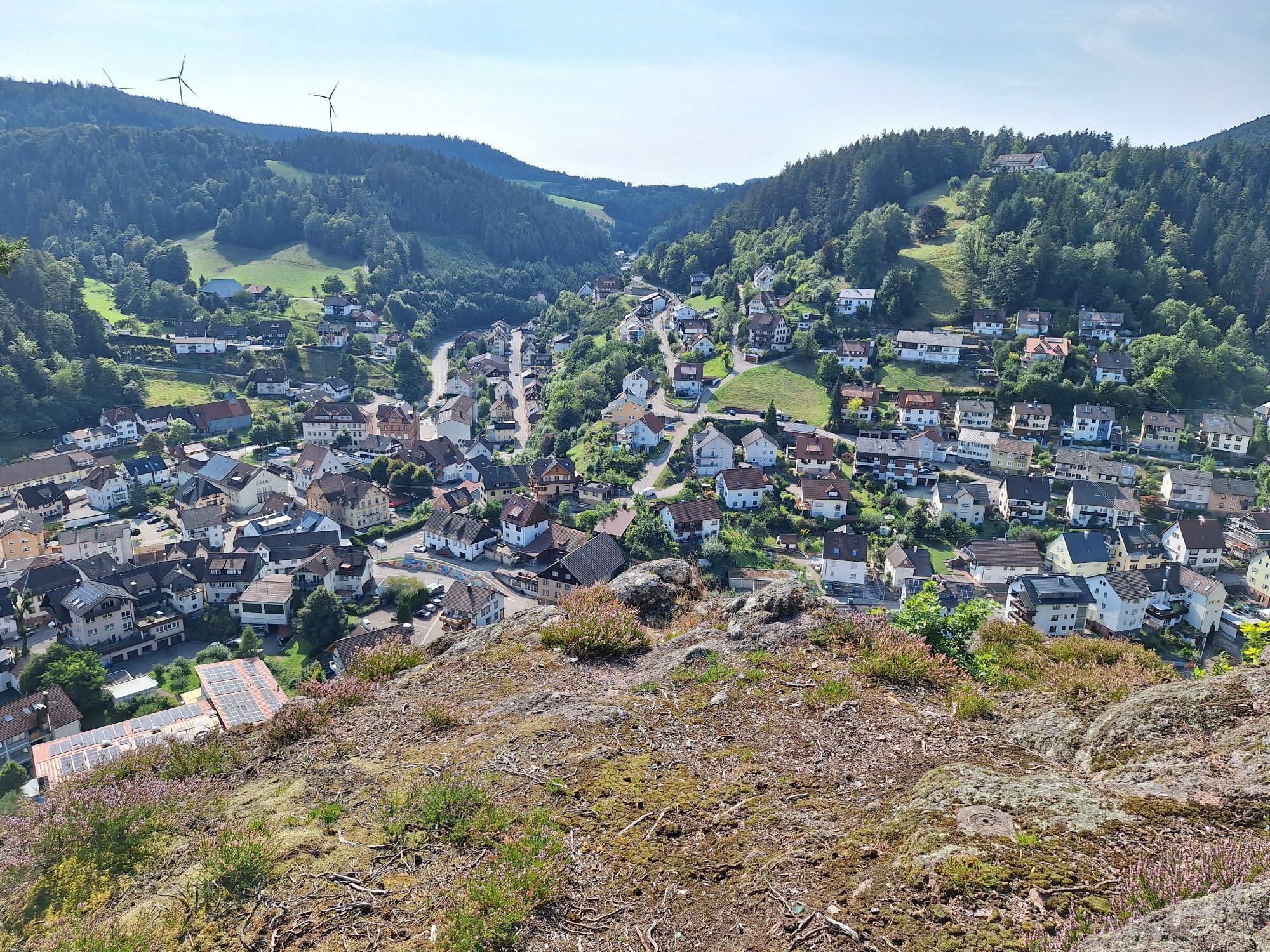
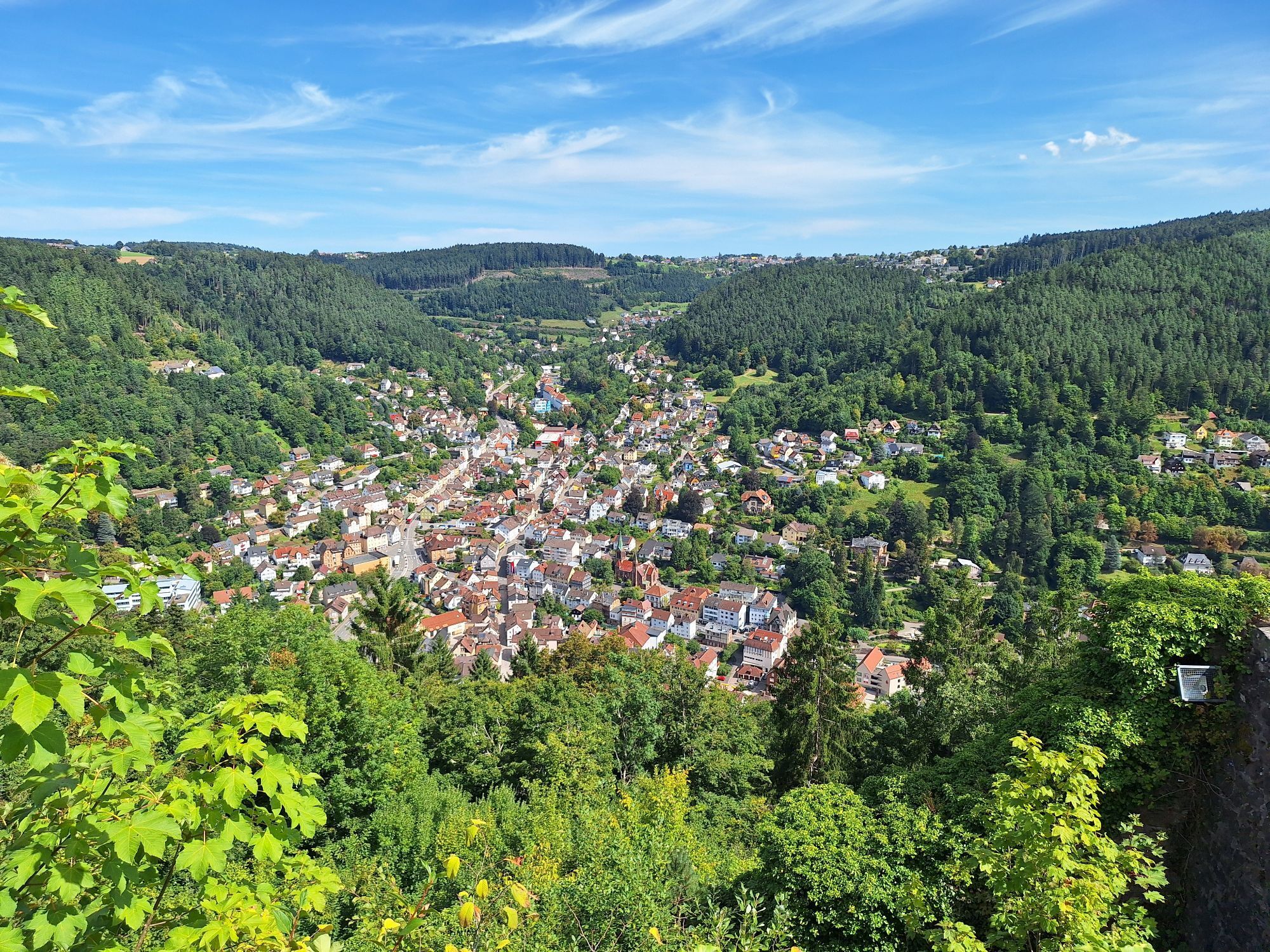

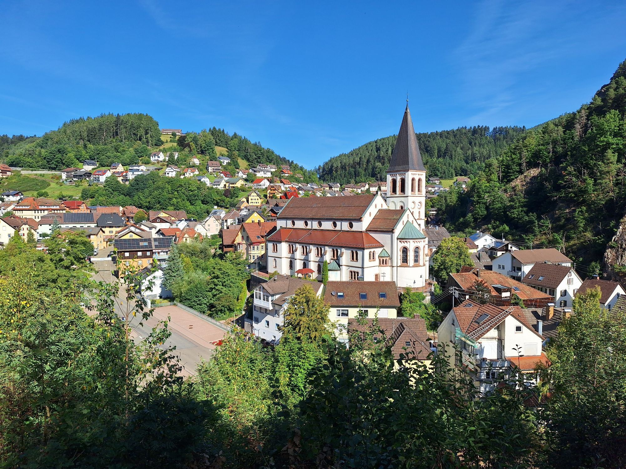
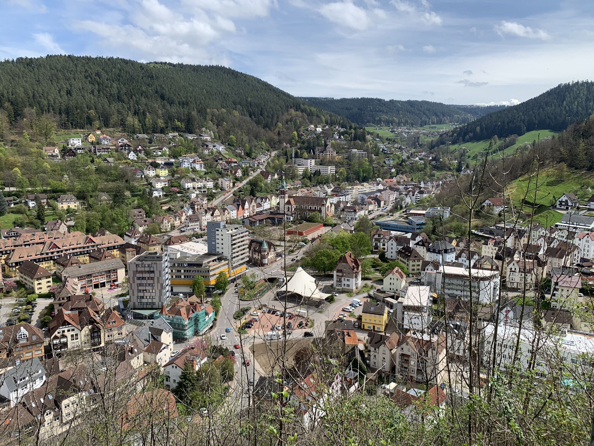
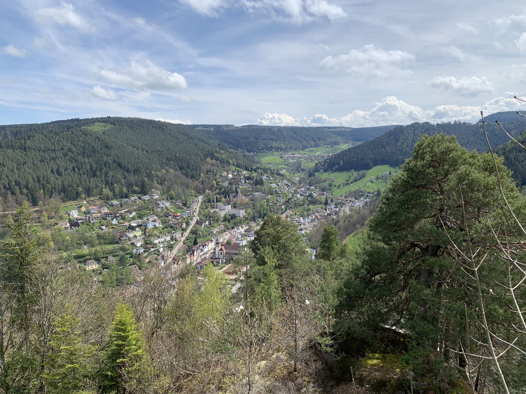

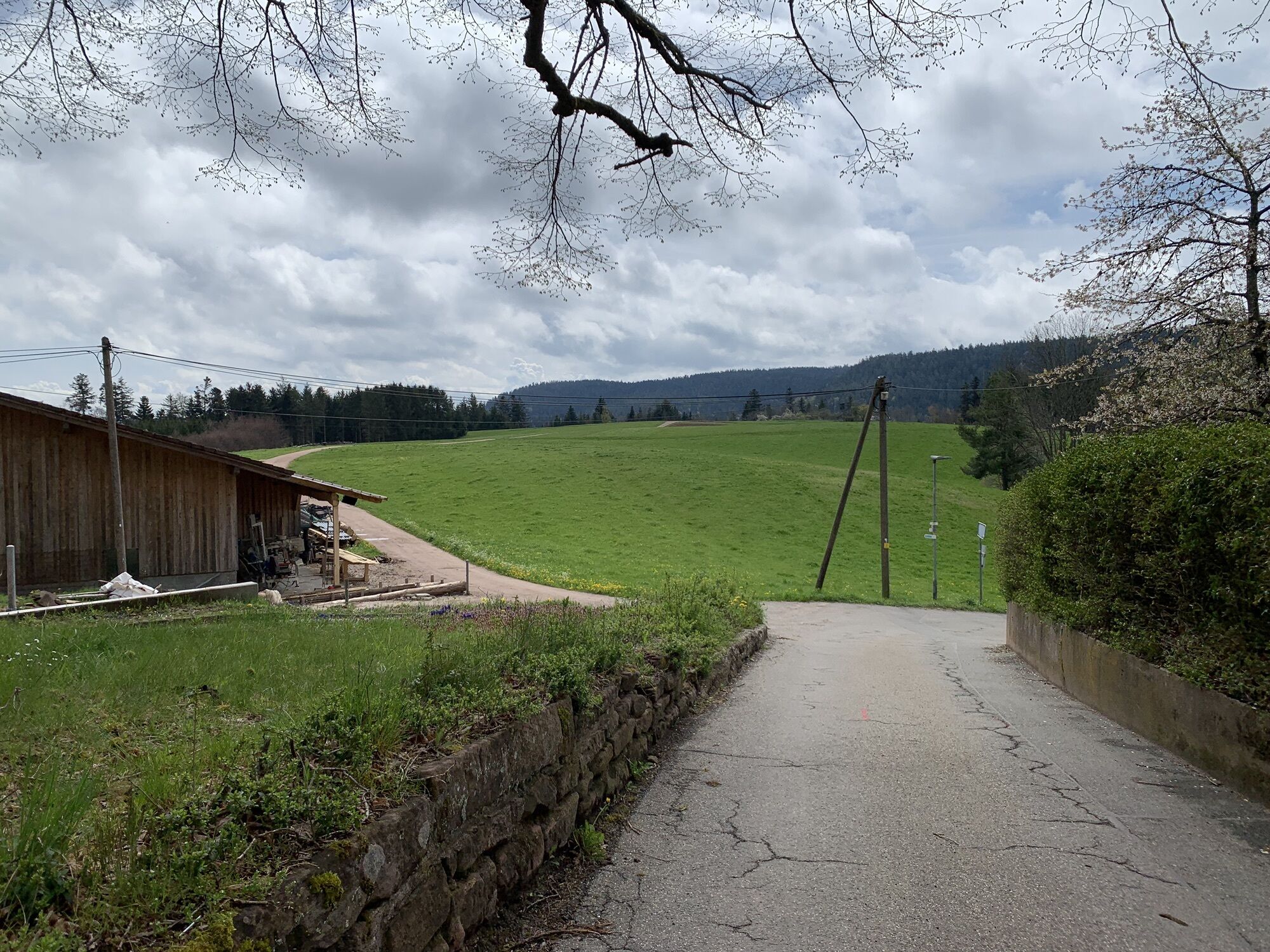
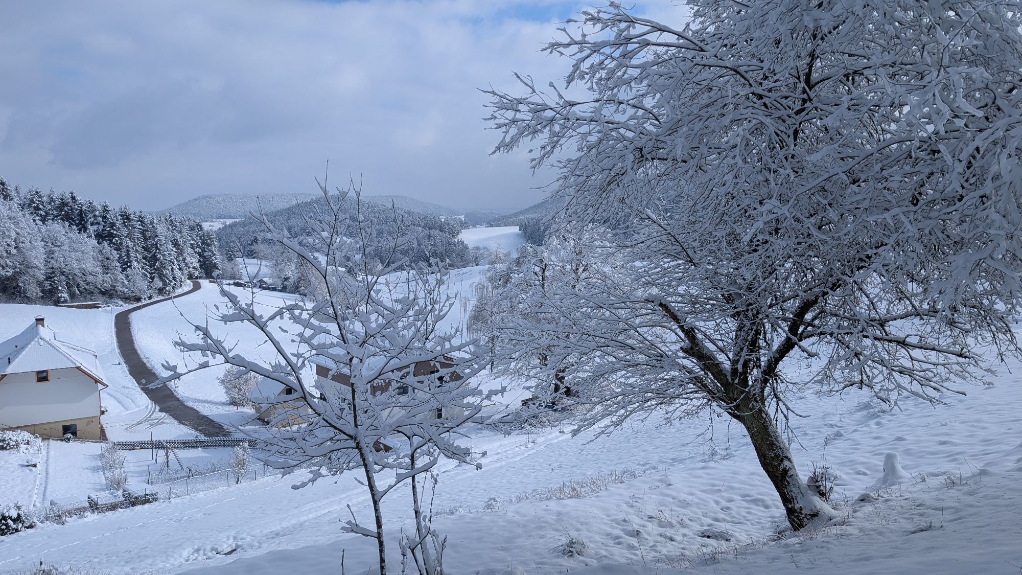
This trail has it all: experience steep ascents to plateaus with magnificent views over Lauterbach, the Swiss Alps, part of the Vorarlberg mountains, and the Vosges. Further along small streams and marshy...
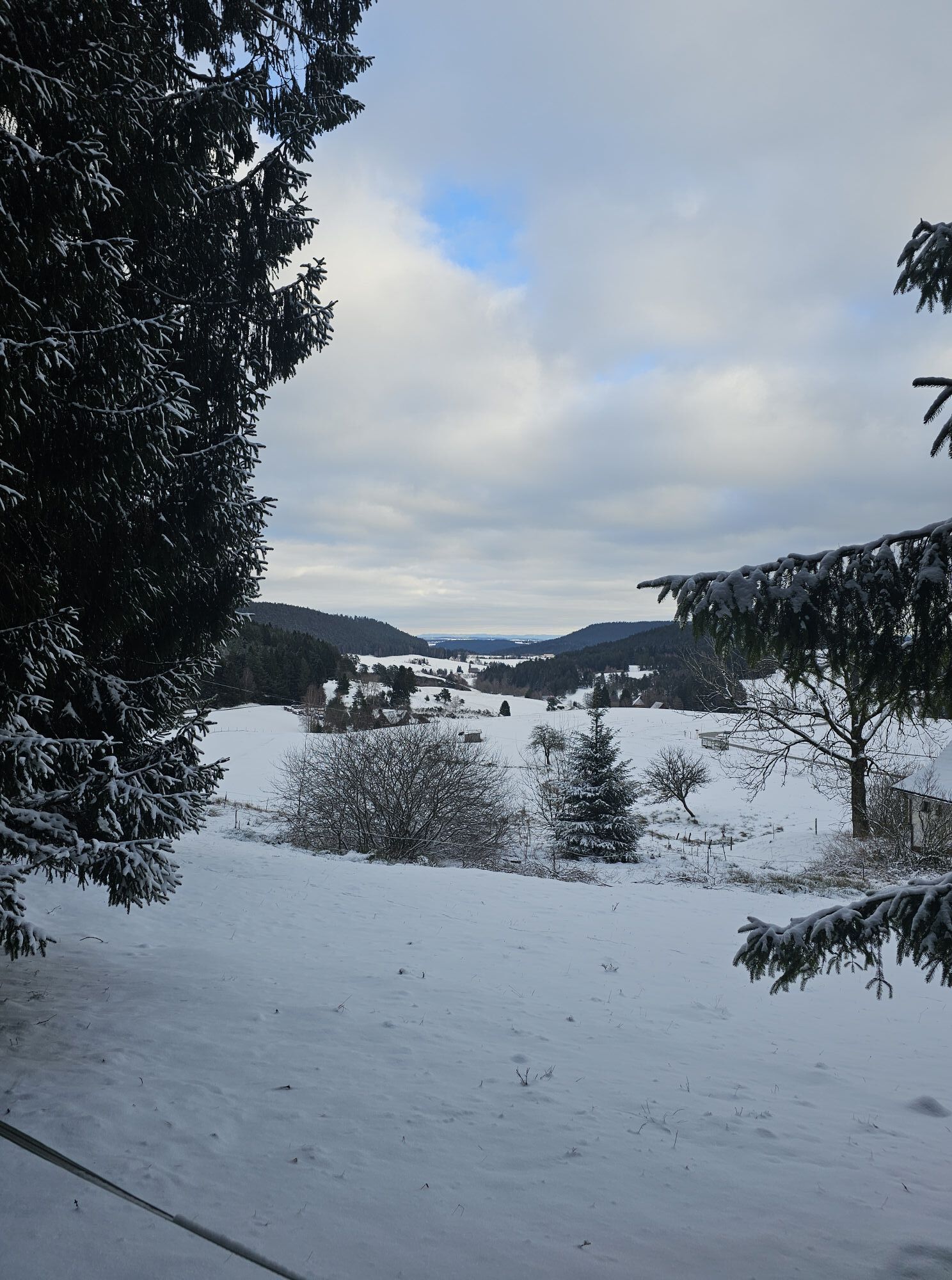
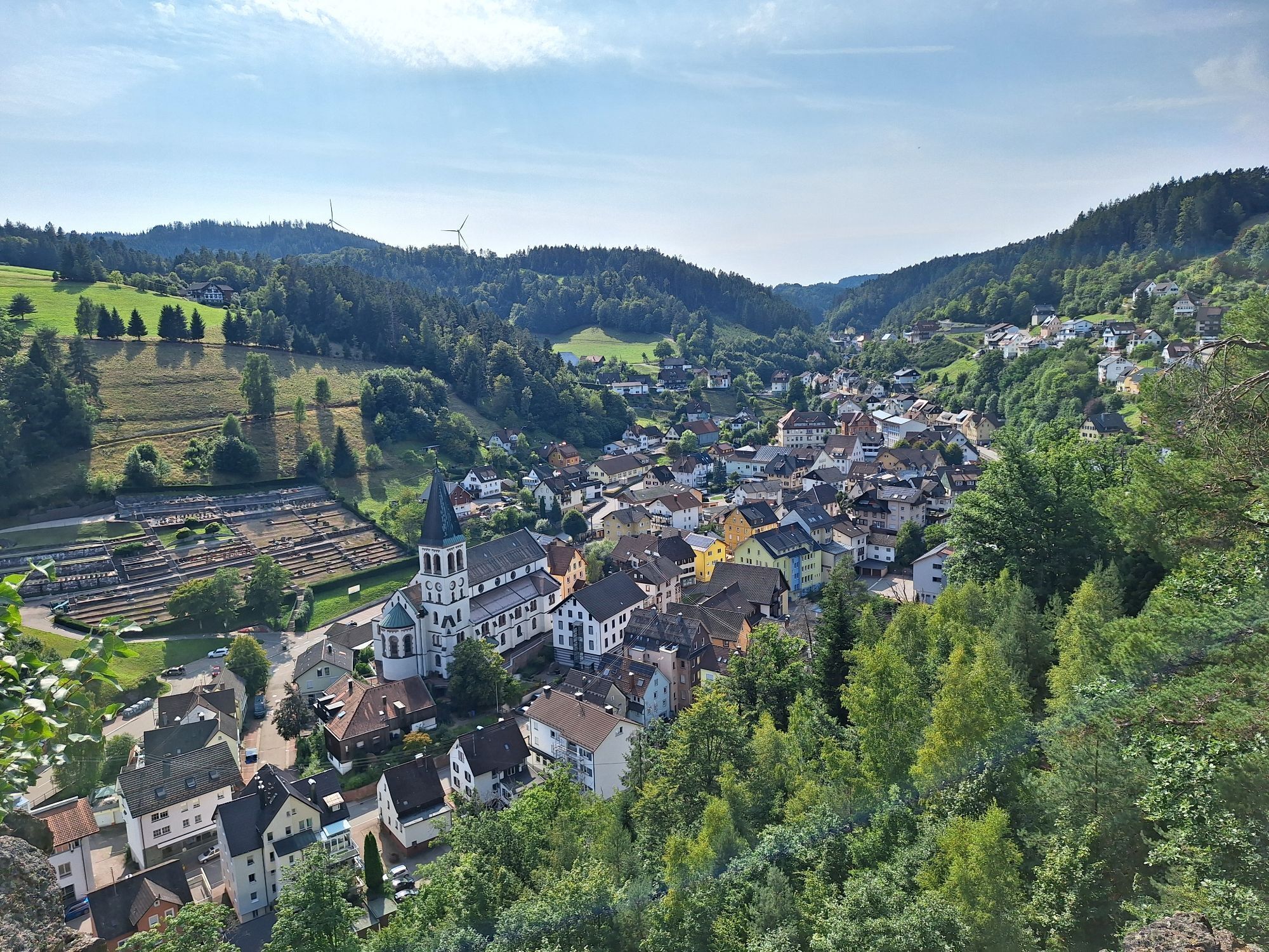
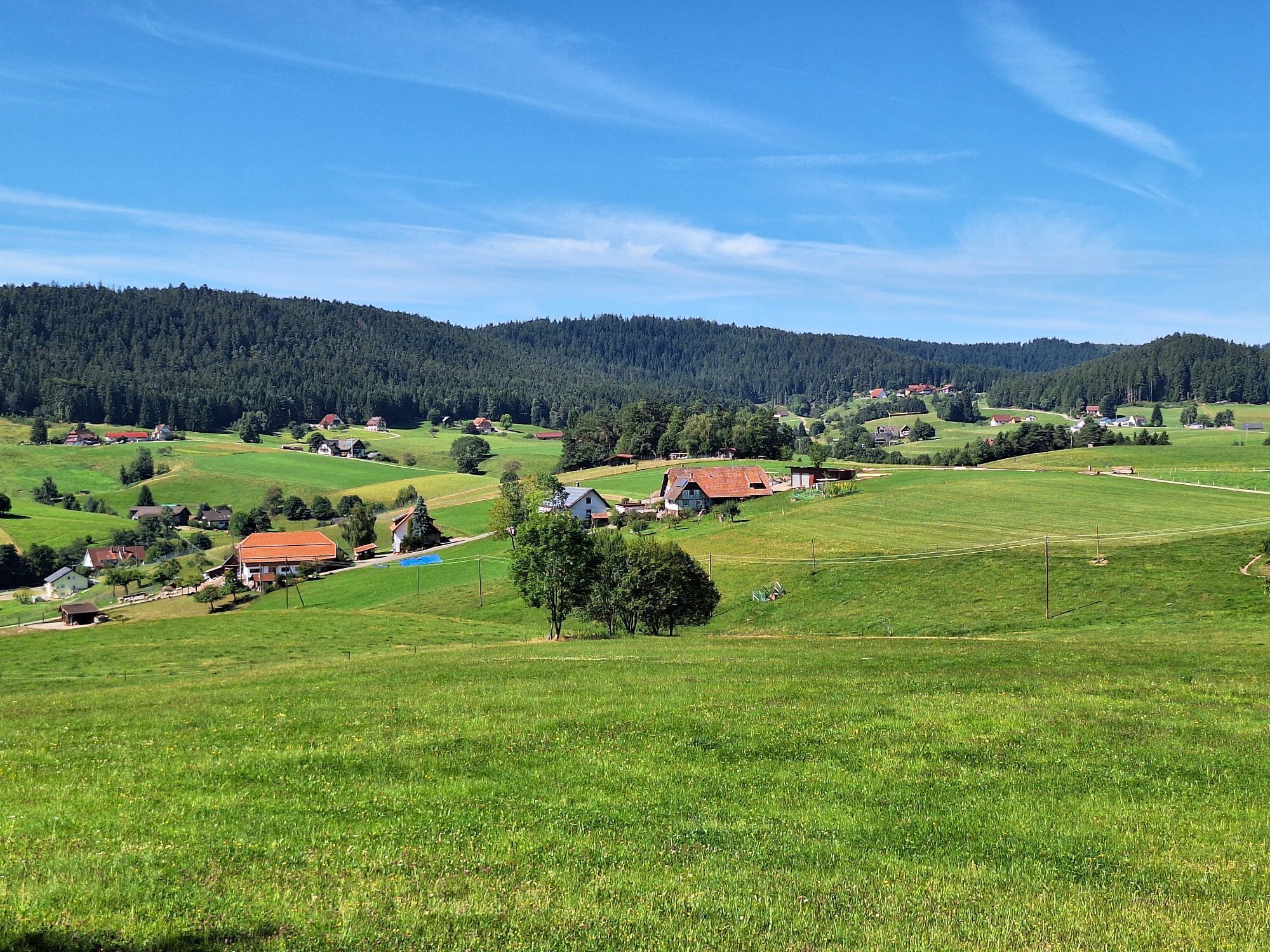
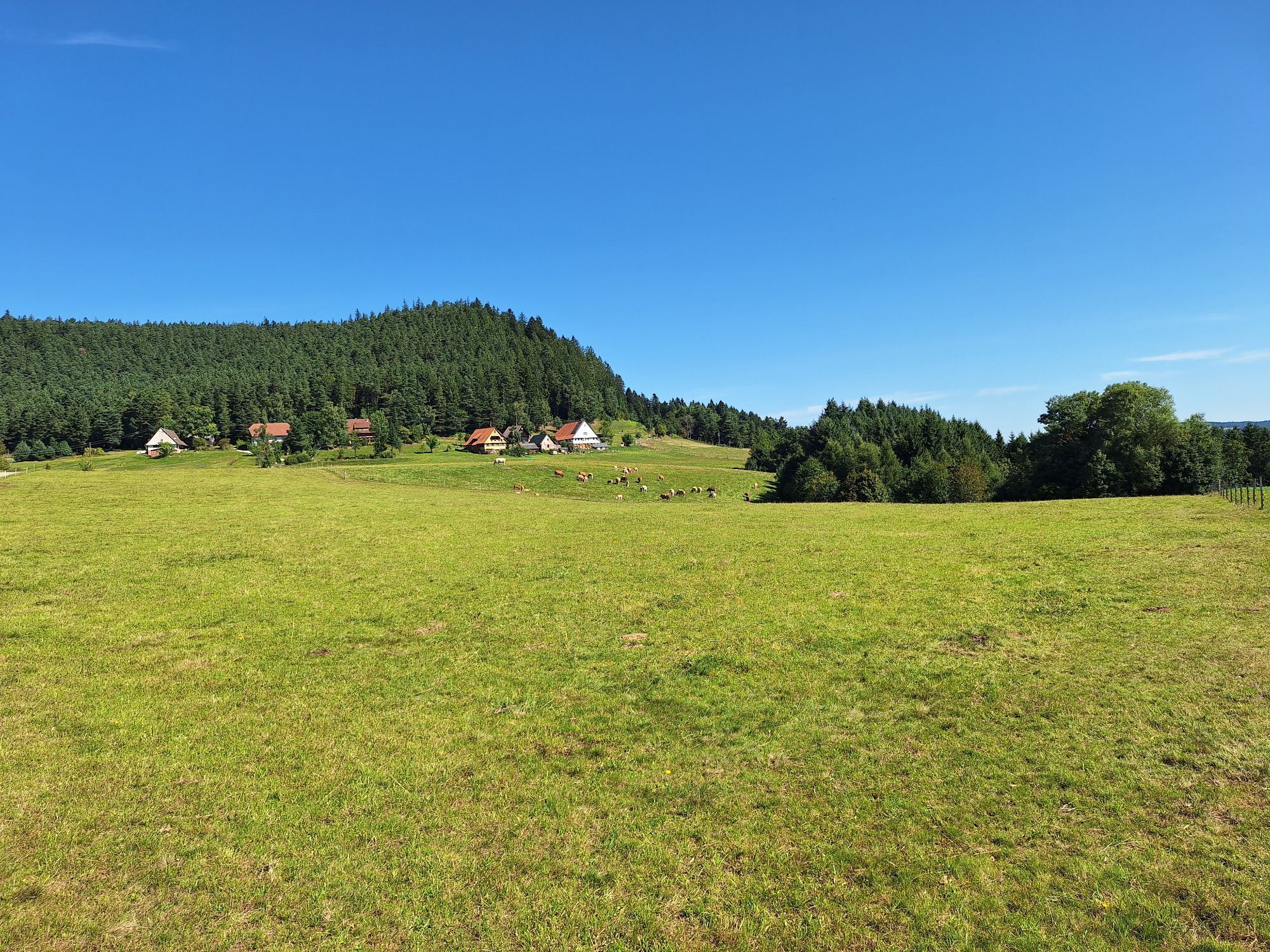
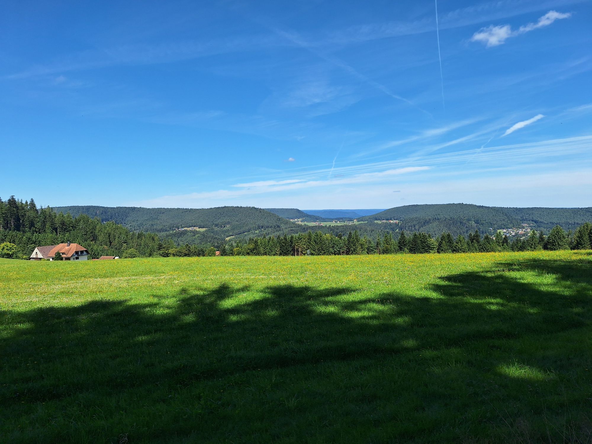
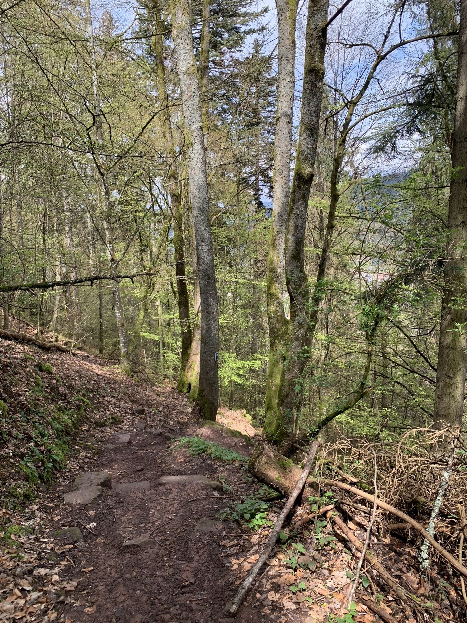
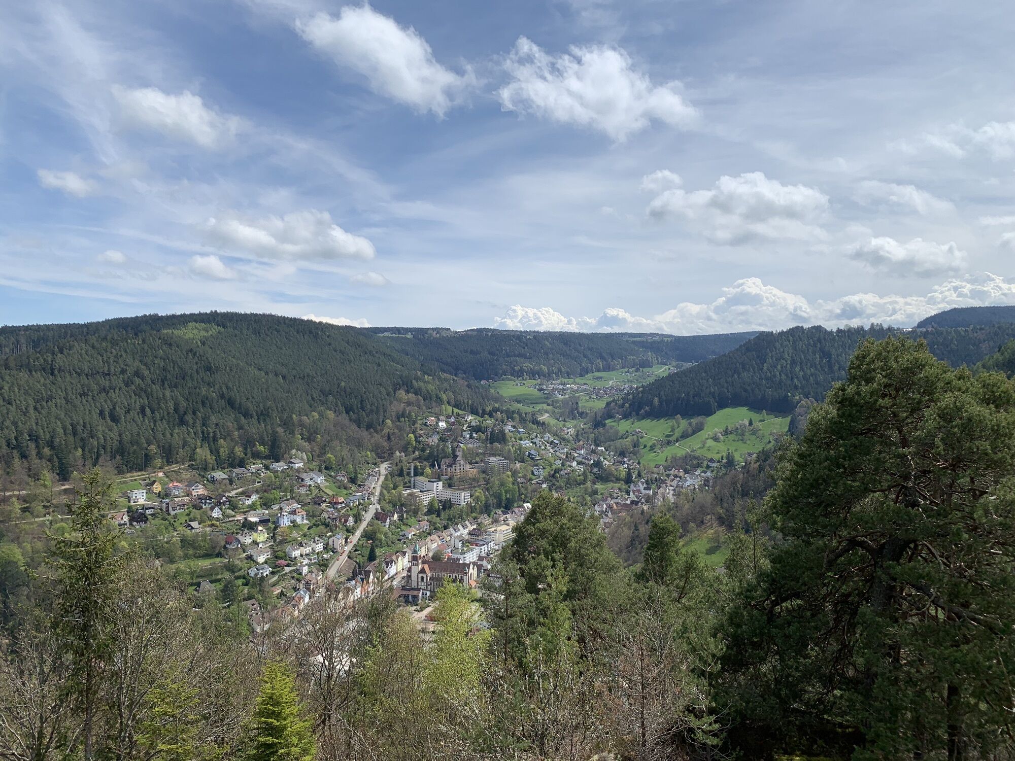
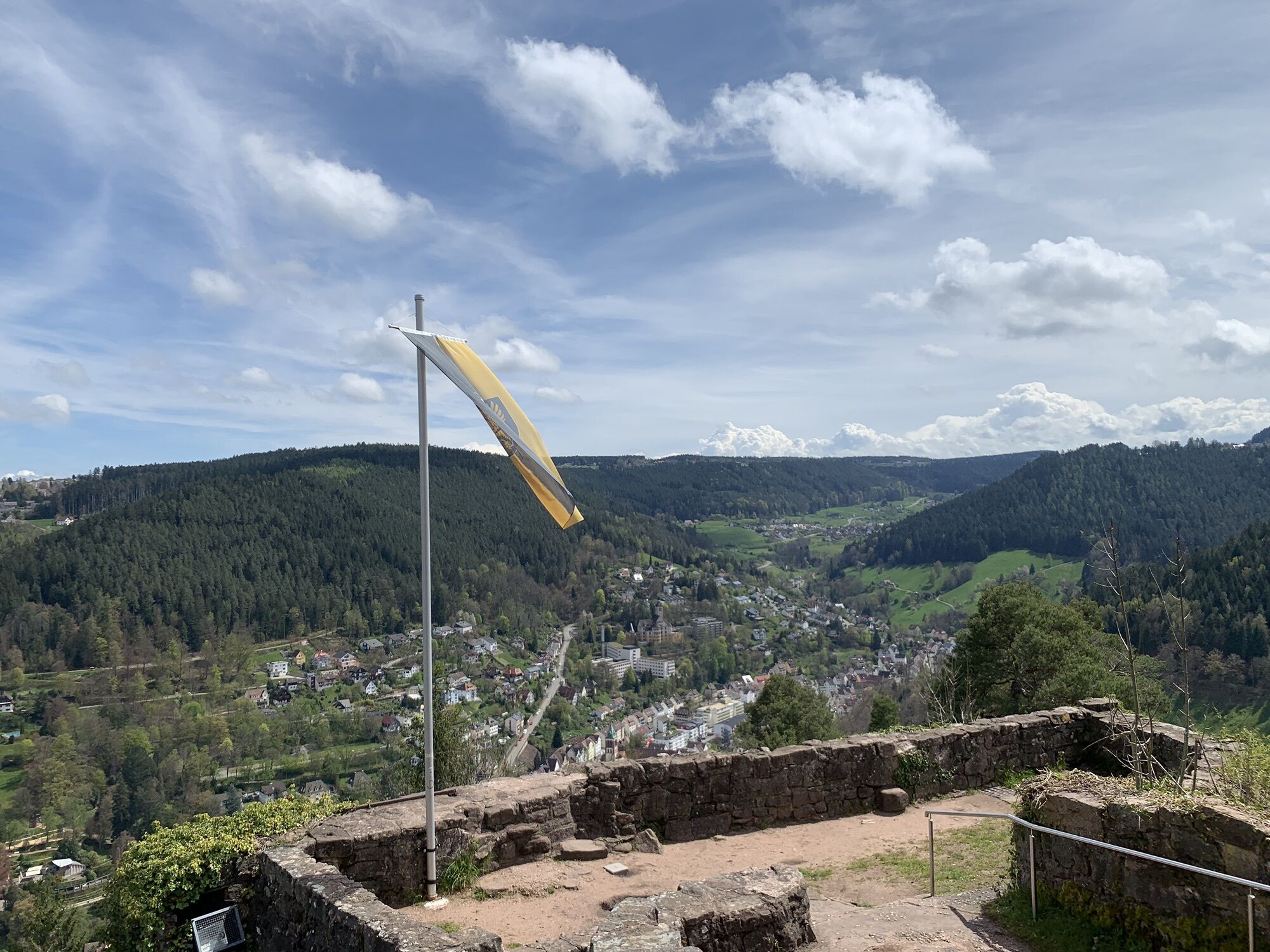
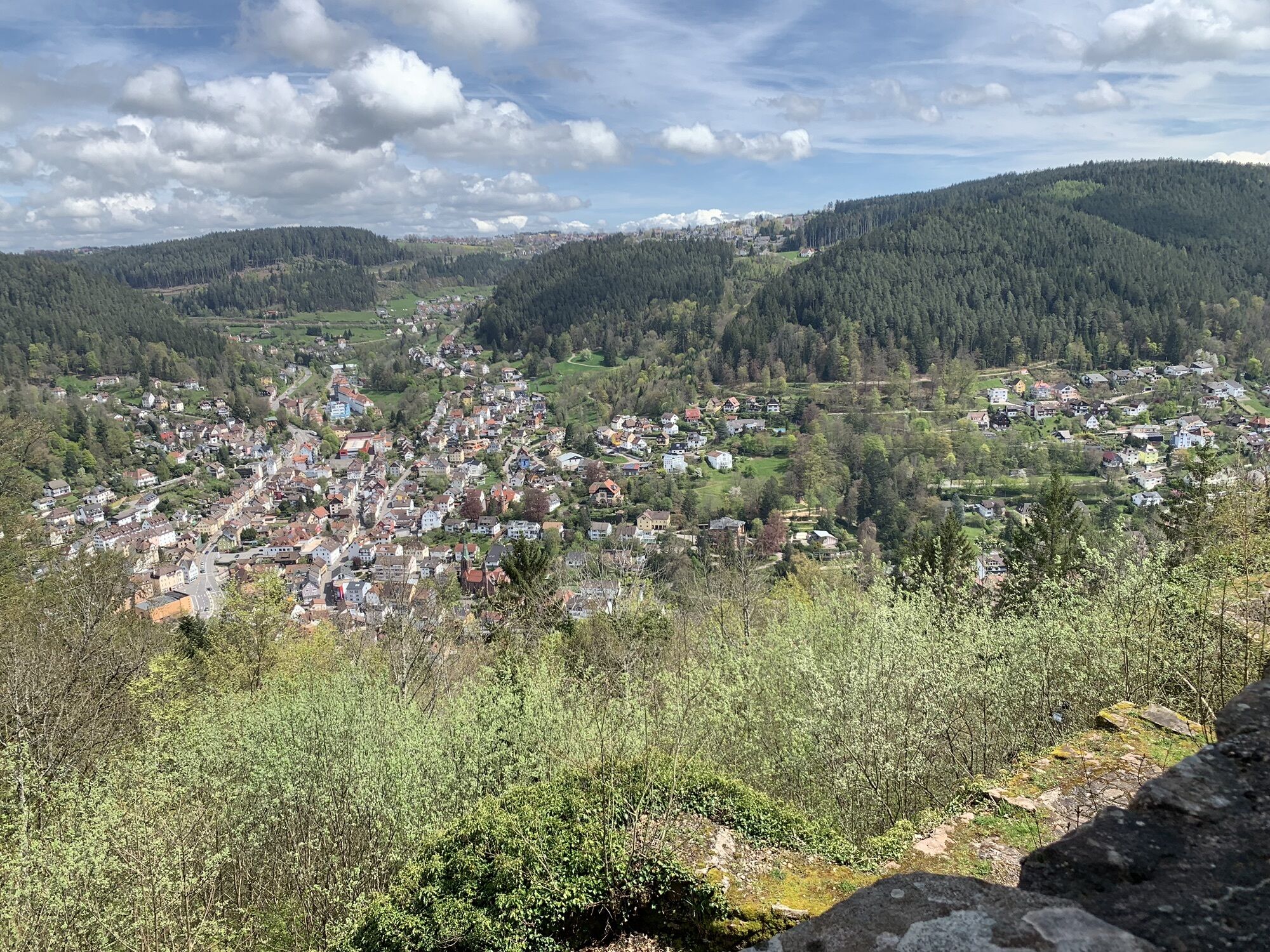
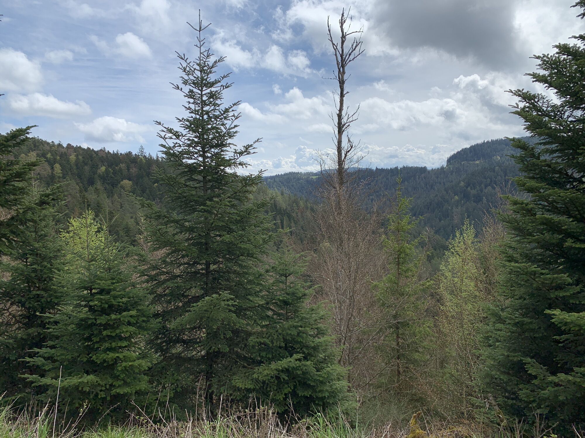
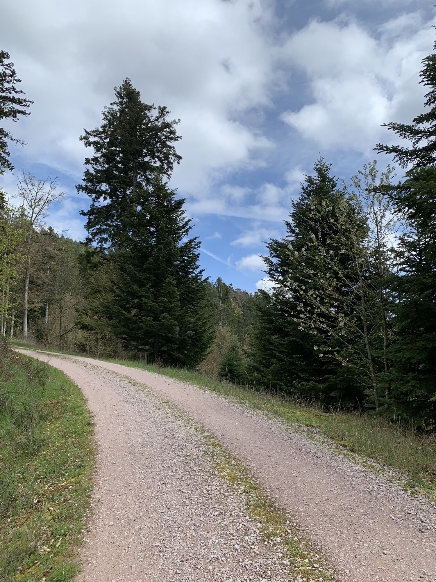
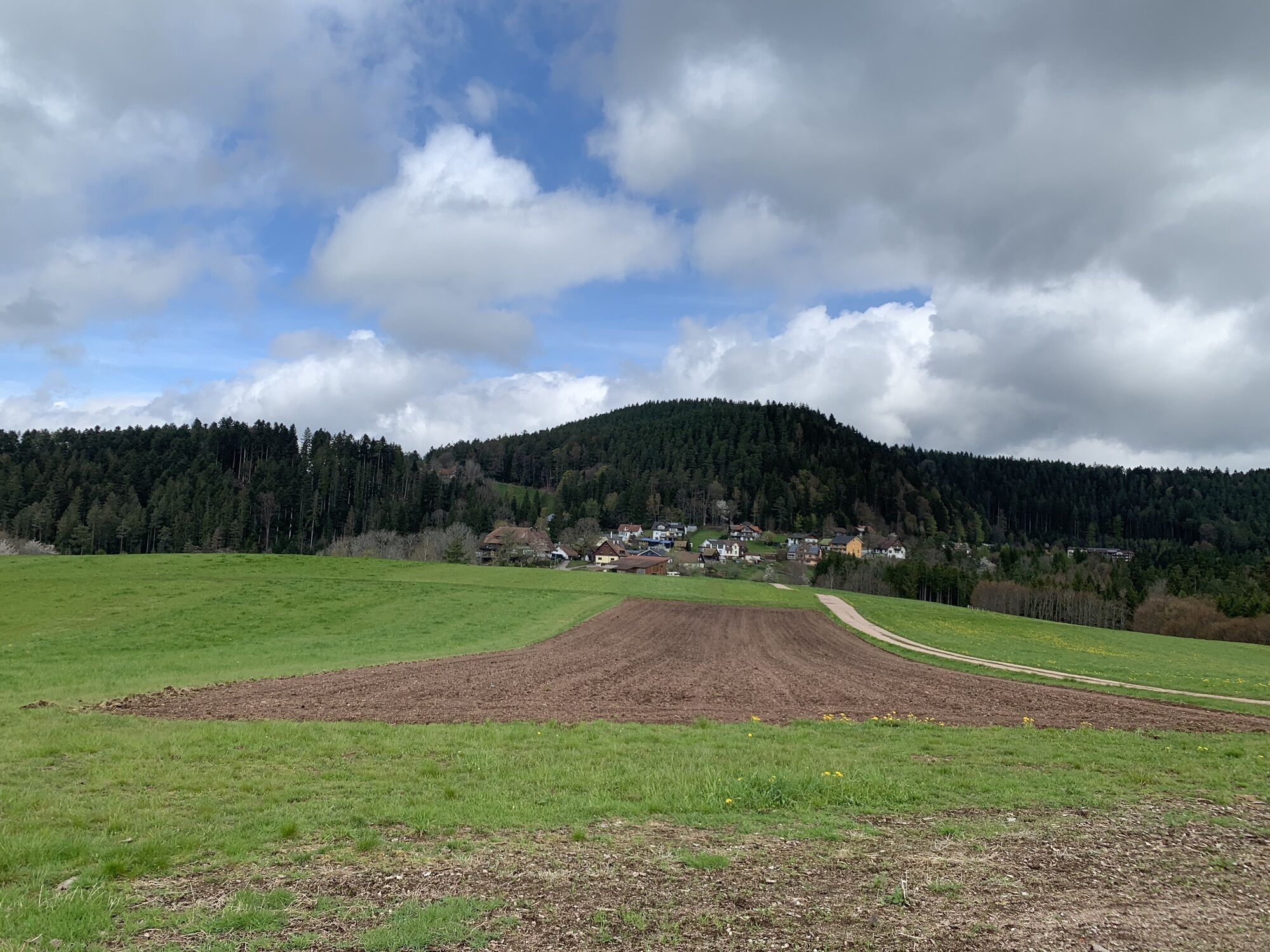
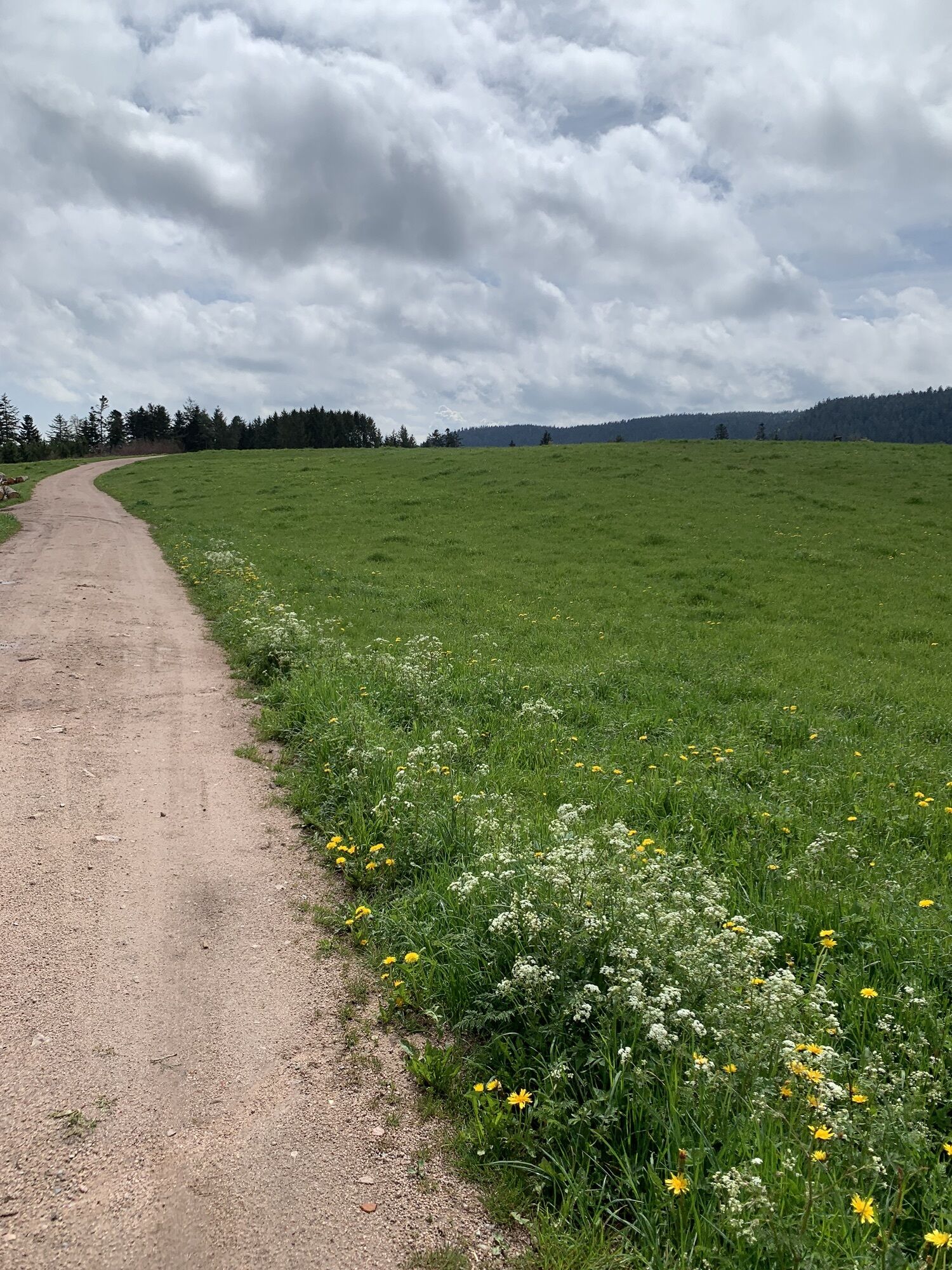
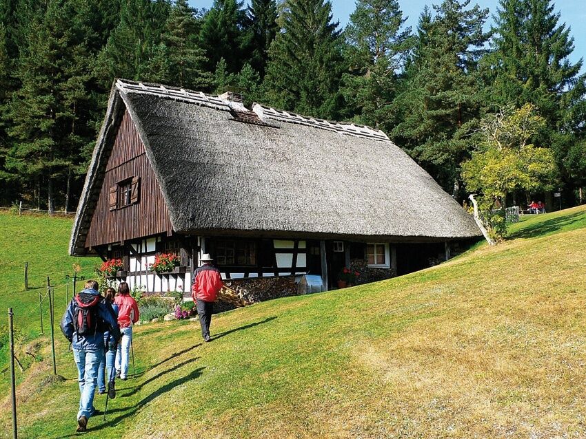
This trail has it all: experience steep ascents to plateaus with magnificent views over Lauterbach, the Swiss Alps, part of the Vorarlberg mountains, and the Vosges. Further along small streams and marshy meadows, past biotopes and the raised bog. Discover hidden gems like the "Mountain Chapel," the "Kapfhäusle," or the "Mooswald Mill" in the romantic Sulzbachtal landscape protection area. Through the forest, past border stones of the former boundary between Baden and Württemberg, and along a section of the Pforzheim-Waldshut long-distance trail. Follow the "Lauterbacher Hiking Trail" and you will have an experience!
The designation "Qualitätsweg Wanderbares Deutschland" sets nationwide standards for hiking trails. A path awarded by the German Hiking Association lays the foundation for an impressive hiking experience.


Dear hiking friends, we have created a varied hiking trail with many viewpoints for you. Choose your own starting point.
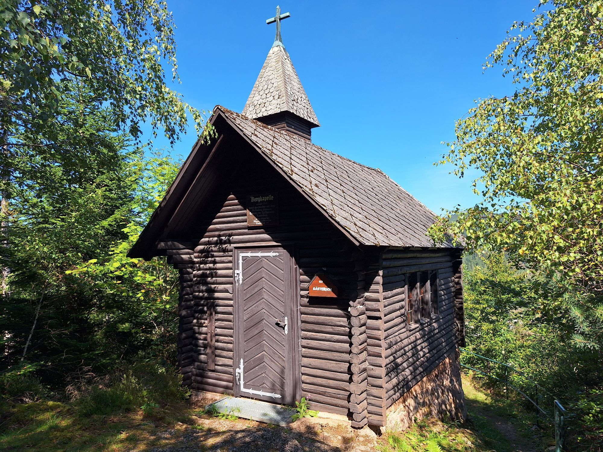
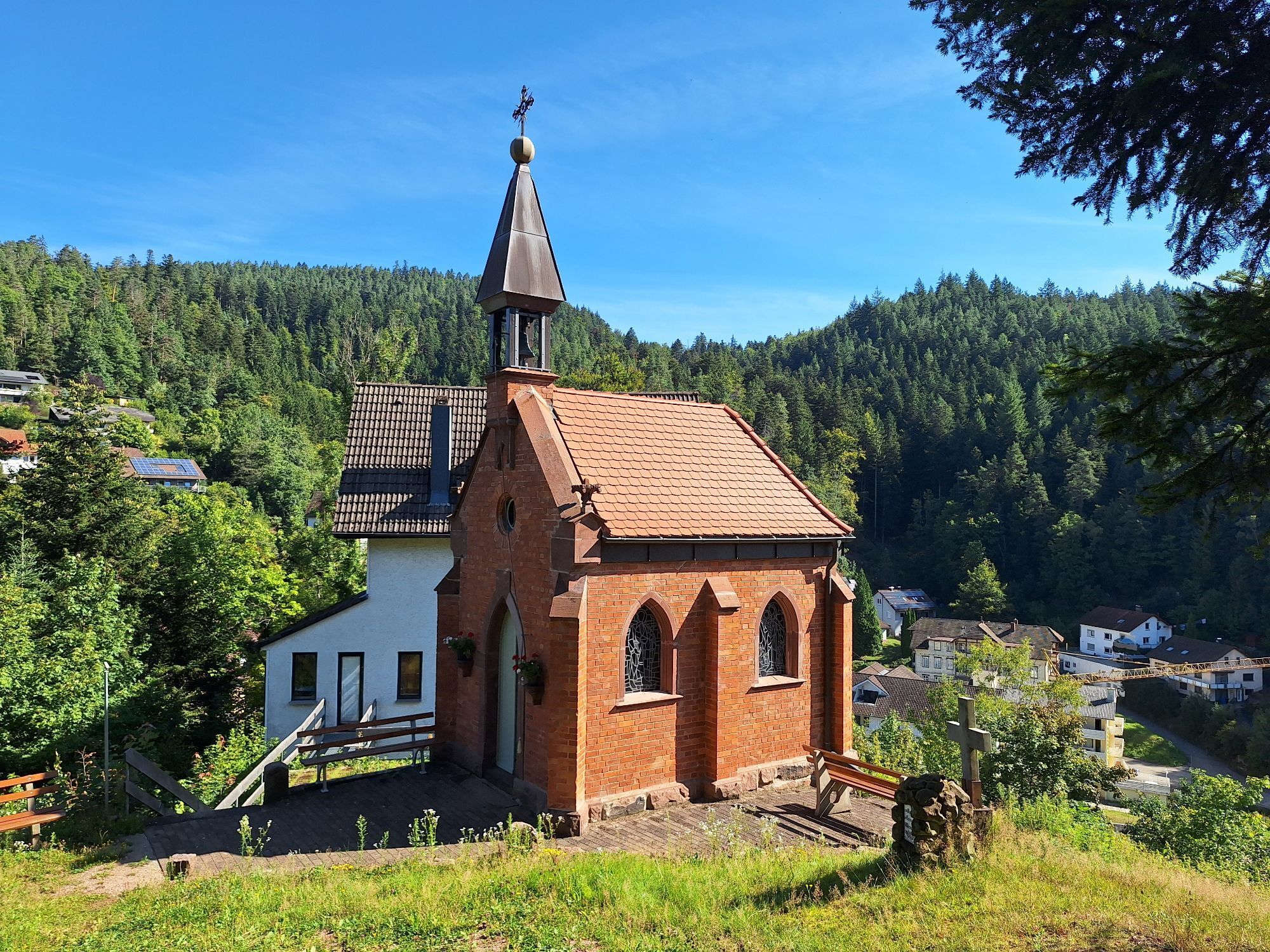
We start the description at the town hall at the information board. After 100 m, we ascend at the cemetery and hike along the panorama trail about 50 m above the road towards Unterdorf. Past the Wittumsiedlung, we reach the "Stemmer Chapel". Dr. Stemmer was a priest and doctor; he had the chapel built next to his house. We ascend in switchbacks to the "Mountain Chapel". This chapel was also built by Dr. Stemmer and was handed over to the Black Forest Club after his death, of which he was a founding member.
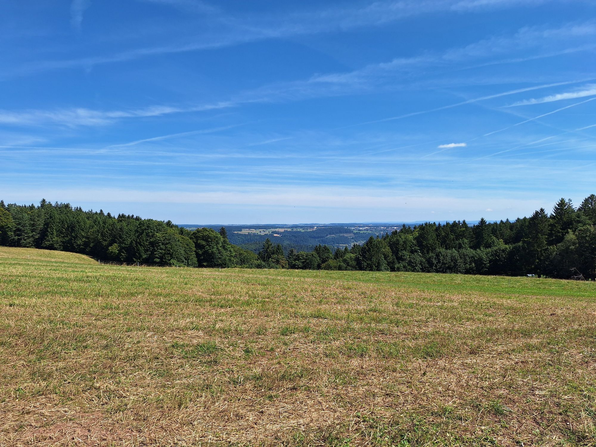
At Storzenhof, our path leads between the mill and the farm to the Reute. Steeply, we climb a path up to Purpenhalde with a wonderful view to the southern Swabian Alb. On the plateau, we continue hiking with beautiful views to Zollernblick. The Hohenzollern, about 60 km away, as well as the Swabian Alb, can be seen. The border stones we pass still show the course of the border between Baden and Württemberg. Württemberg Lauterbach was a peninsula in Baden territory. Eighteen of the 21 km of Lauterbach’s municipal border were the Baden-Württemberg border. At the signpost "Überm Vogtandres," part of Lauterbach in the valley is visible. After crossing the connecting road to Tennenbronn, we descend at Reibehof into Bremenloch. Past the Bremenloch spring, which supplies a significant part of Lauterbach's water supply, we reach Güntersberg with a beautiful view to the sunny side of the Lauterbach valley. After descending to Wiesbauernhof, we hike upstream along the stream. We continue along the path by Lauterbach, past Hugenhof, and cross the road at Oberbauernhof. We then follow the path to the "Adler" mountain inn on the Fohrenbühl pass height.
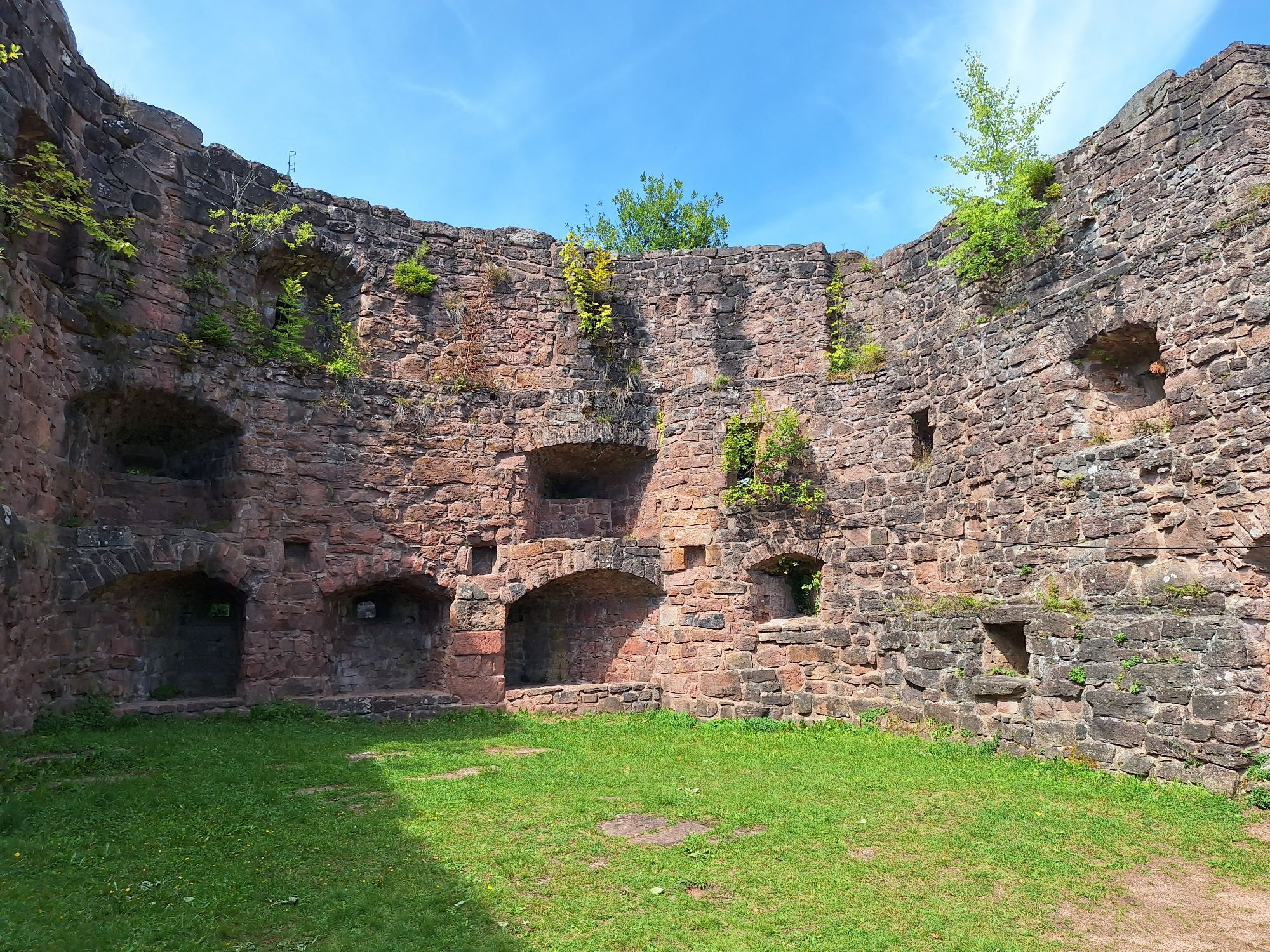
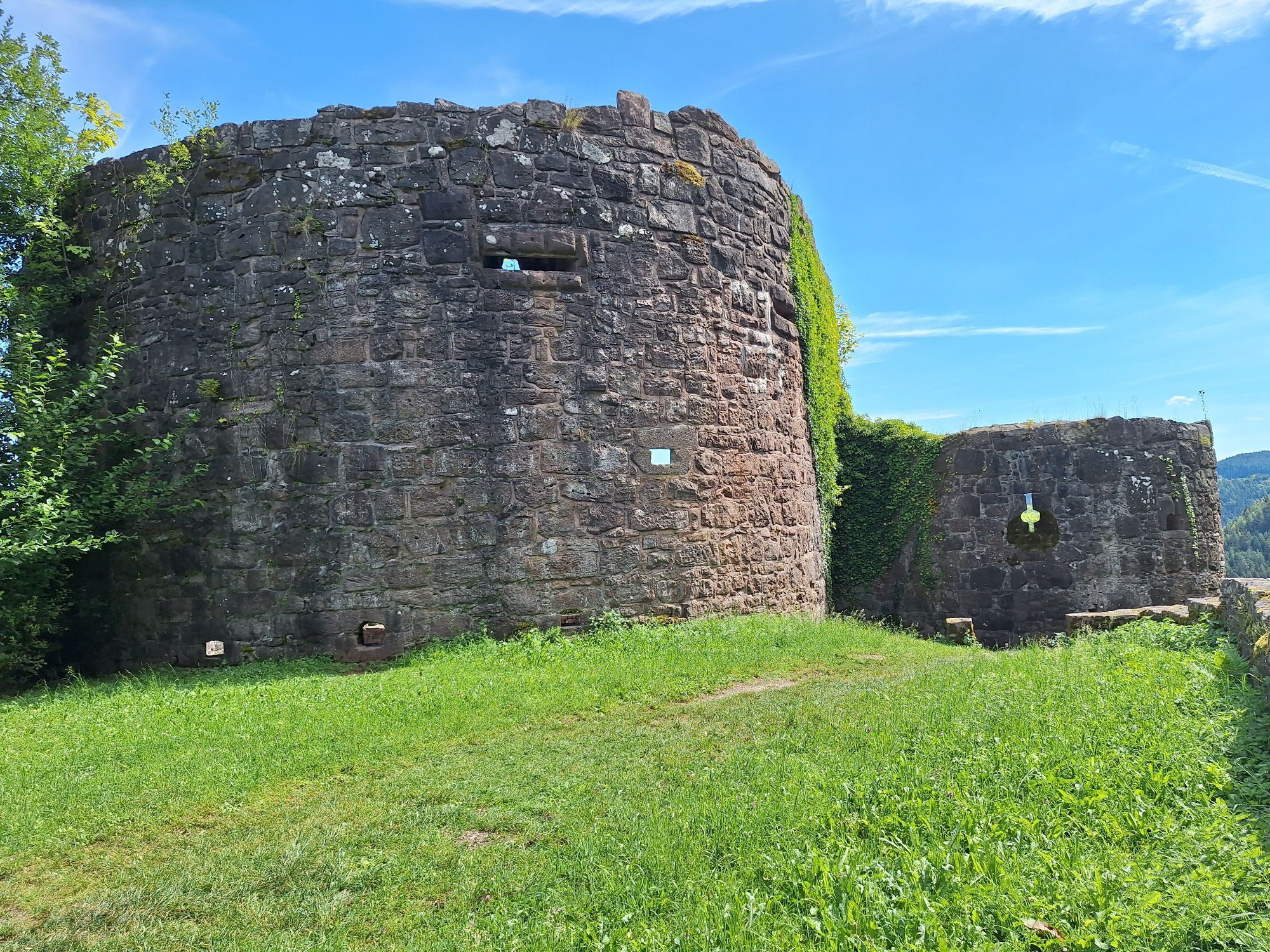
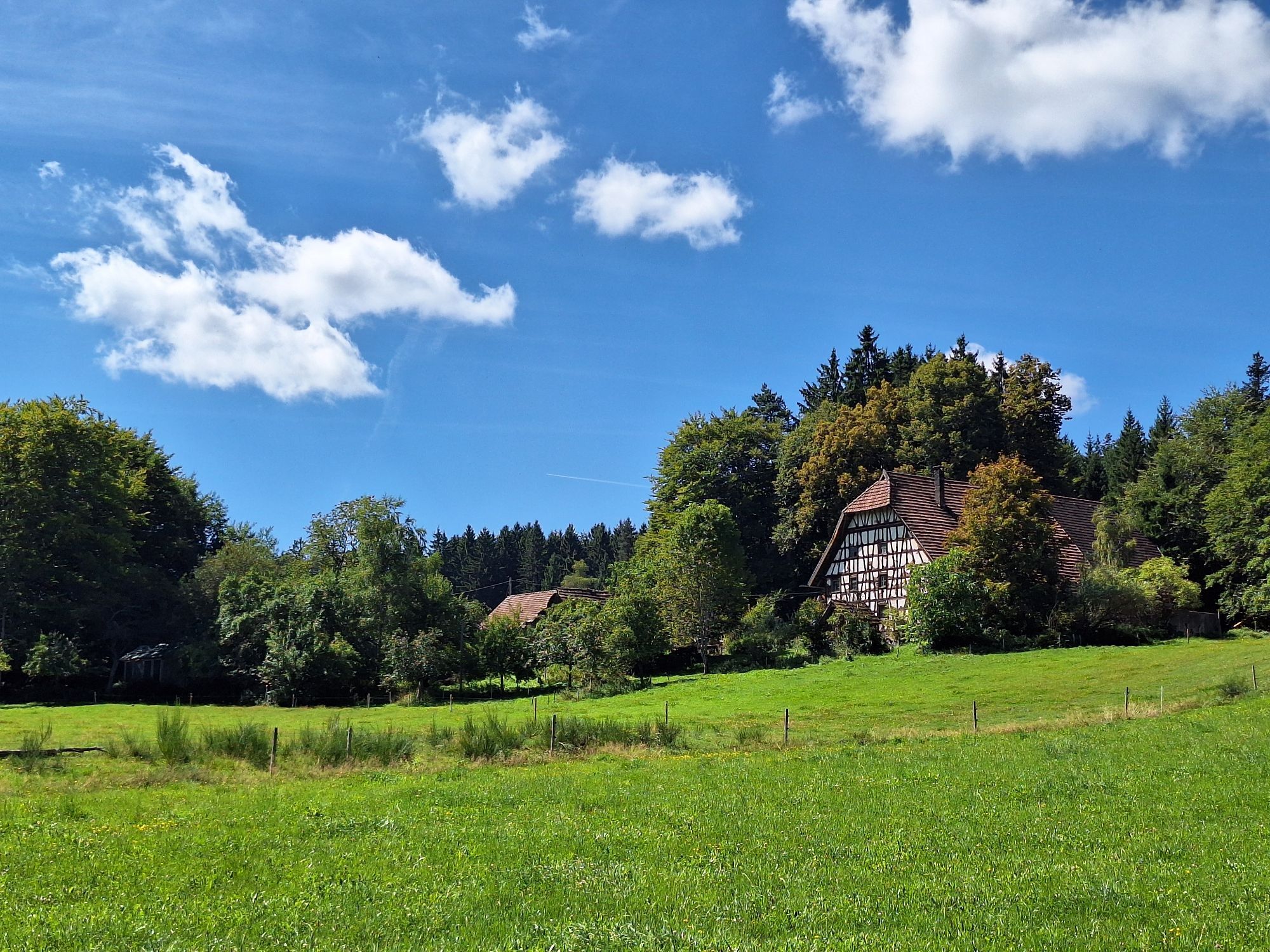
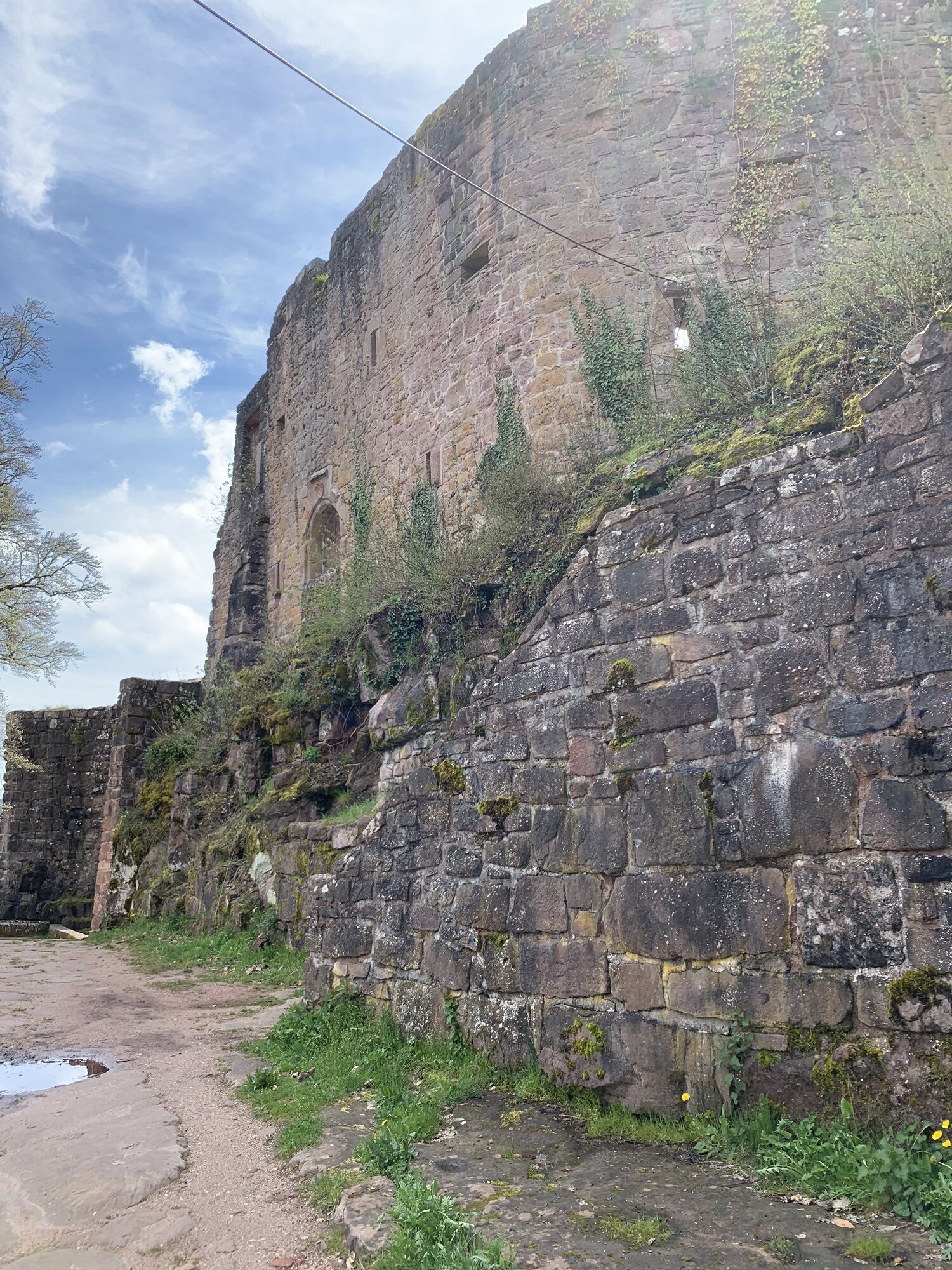
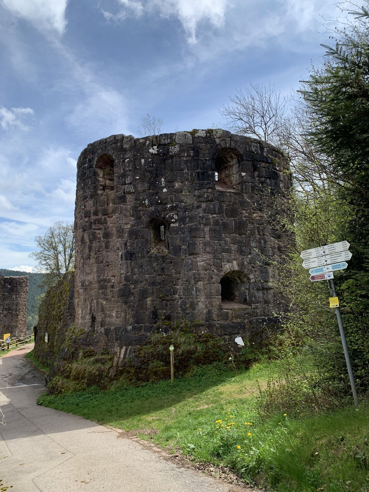
At the "Adler," we turn right and follow the red rhombus with a white stripe of the Mittelweg Pforzheim - Waldshut. It leads us to the "Memorial House" of the Black Forest Club. It was built in 1903 by the Black Forest Club Lauterbach as a tower hut and converted into a fallen soldiers' memorial house in 1924 and donated to the main club. Continuing on the Mittelweg, we reach Kohlplatz, where a charcoal burner once practiced his craft. Through a hollow alley, we reach Mooswald. Now we have the beautiful high valley Sulzbach ahead of us. We continue to the "Kapfhäusle", probably the most photographed house in the region. From here, we again have a magnificent view of the Swabian Alb. We stay on the Mittelweg and hike through a biotope to Grusenloch bridge. Here we turn left to Grusenloch and continue to the inn "Heuwies," where a magnificent view of the Northern Black Forest awaits us. We leave the Mittelweg and follow the yellow rhombus to Rotwassersattel. From here, turn left to Rotwasserwald, where we meet the Kinzig-Neckar-Weg (blue rhombus). We hike over the sunny Kienbronn high plateau to Wurstwald. At Hölzlehof, we ascend with the yellow rhombus to Hartsköpfle and further down to the "Moosmann's Cave". Moosmann lived only in the summer months in this cave. He was a son of the border guard Moosmann. Now back with the blue rhombus, we hike to the Hohen Schramberg castle ruin and to Burgstüble. Enjoy the view over the Fünftälerstadt Schramberg and the elevated neighboring towns.
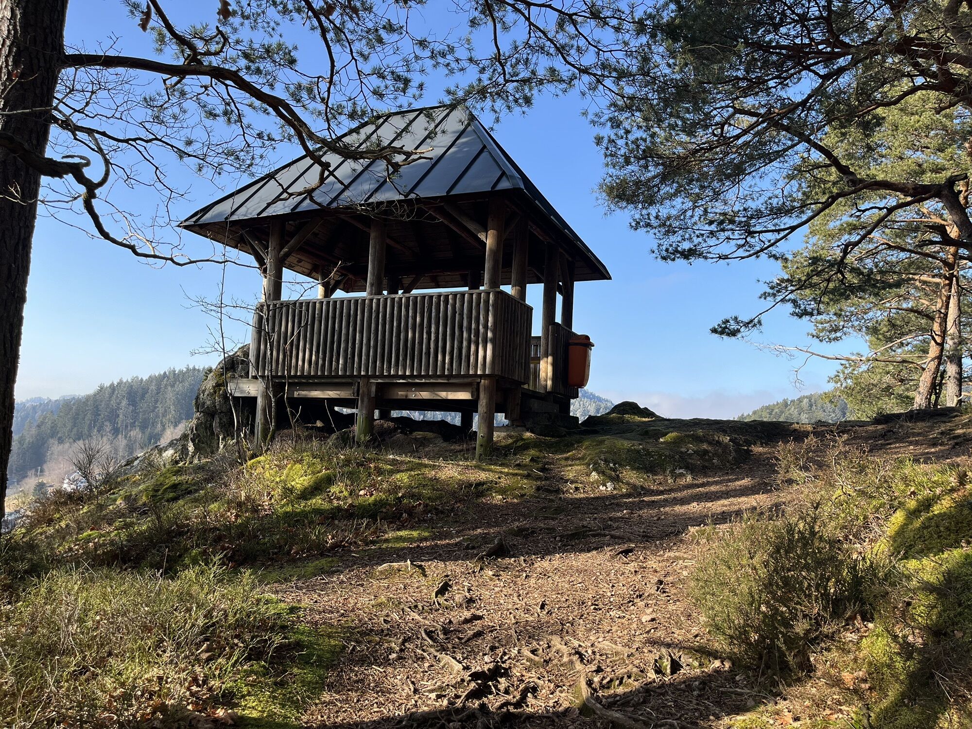
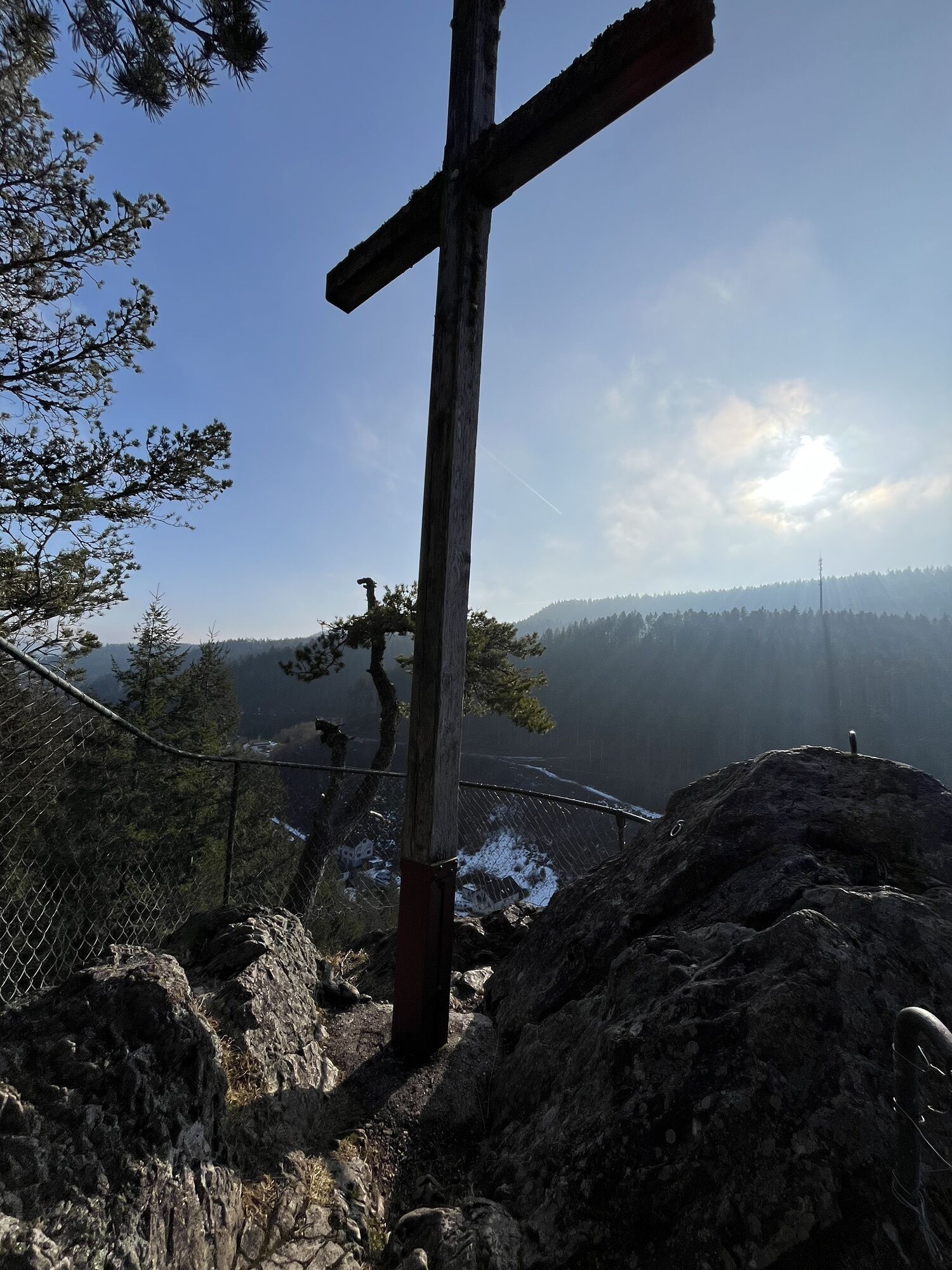
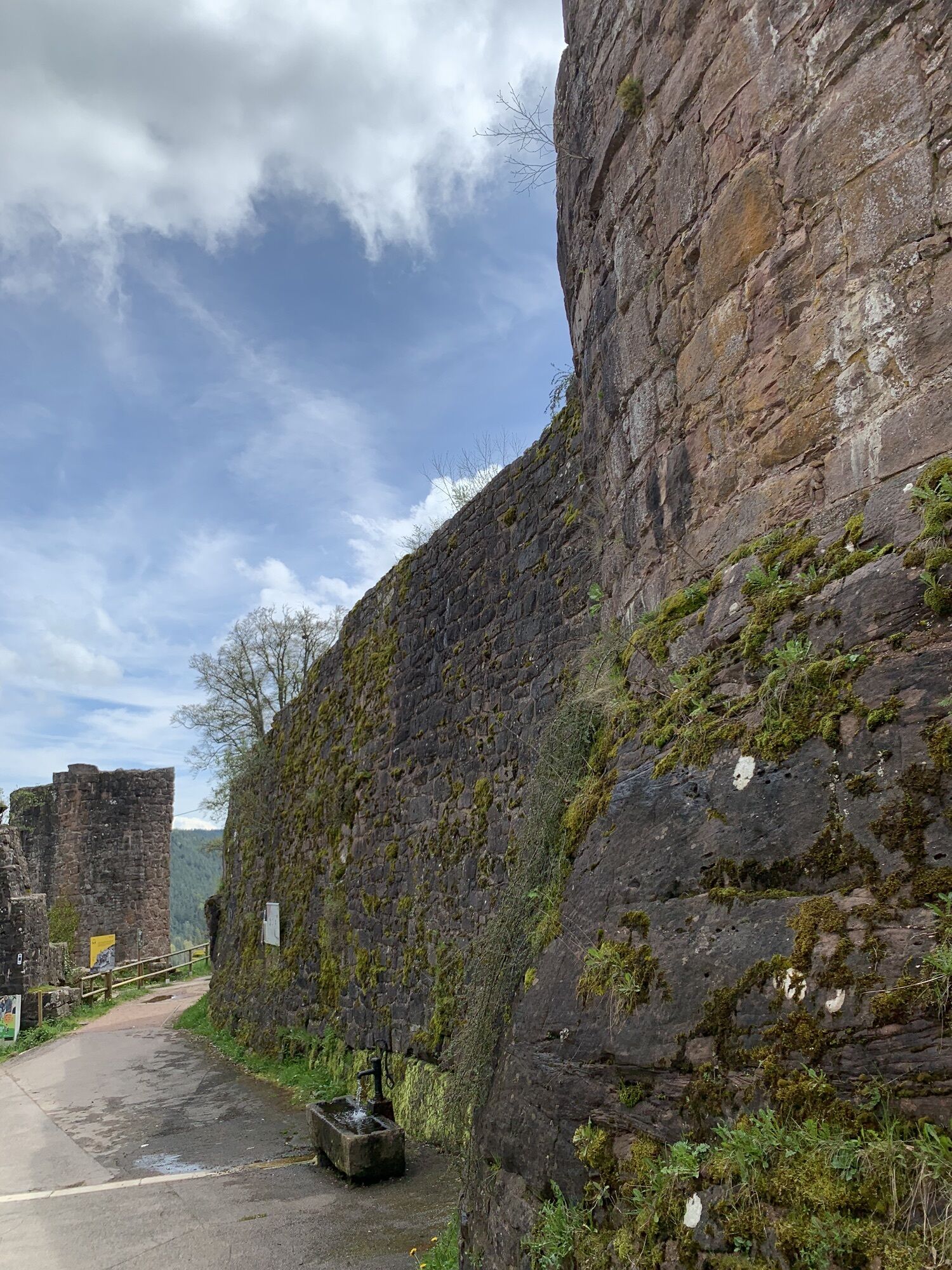
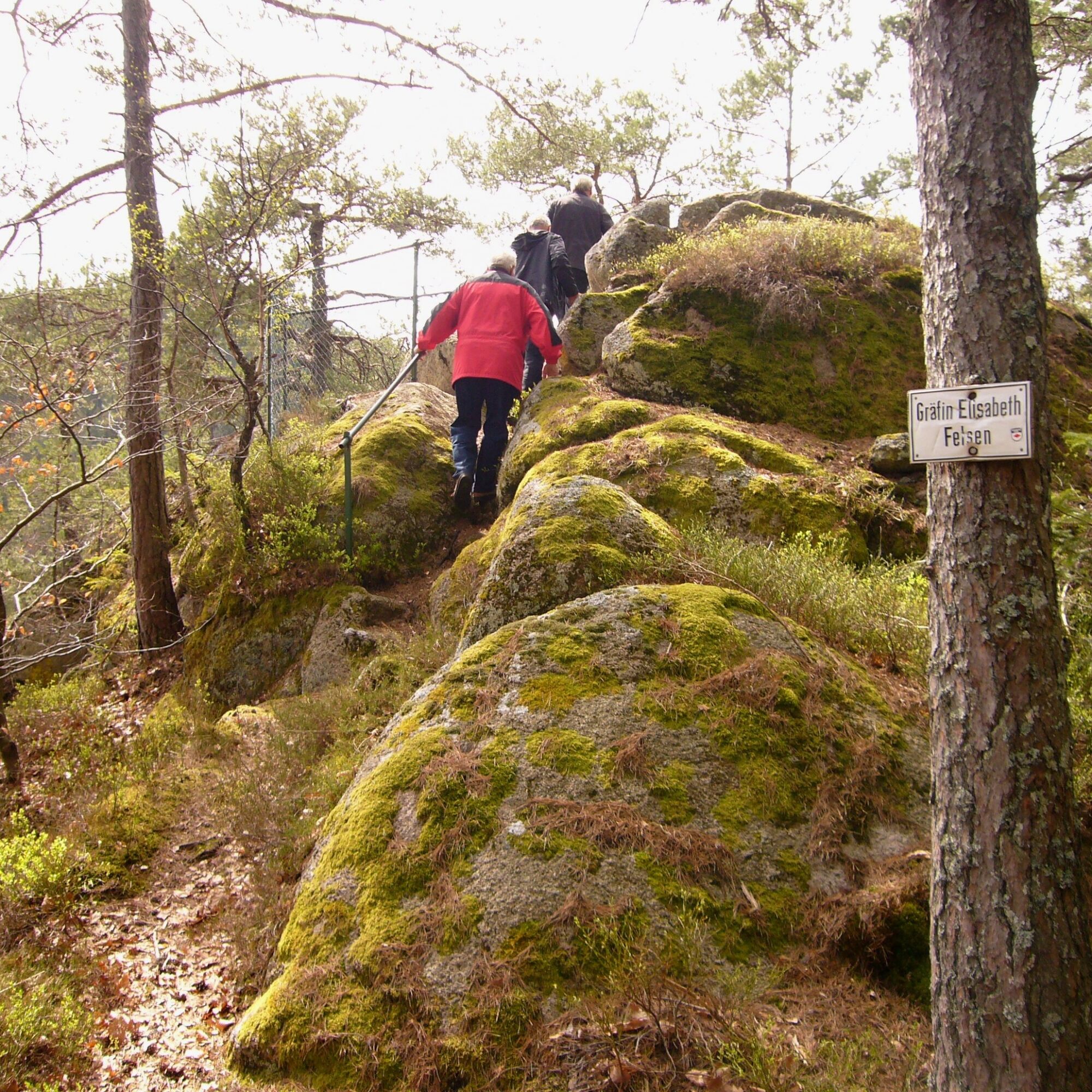
We now enter the rocky area of Schlossberg and reach the location Burgweg. Here we change to the yellow rhombus and proceed via the locations "Elefantenkopf", "Beim Aussichtshäusle" towards Aussichtshäusle. Just before, we turn right down to Geißhalde. Going up the Lauterbach valley, we come to the Arthur Junghans monument and reach the "Lauterbach Waterfalls." At Sammelweiher, we cross Lauterbach over a bridge and reach, via a path, the locations "Felsenmeer" and "Elisabethenfelsen." On a narrow path through the rocks, it goes up to the "Countess Elisabethenfelsen." Climbing further, we reach Schlosshof. Passing the playground and barbecue area and then Sonnenstein, we again reach Kammermartinsdobel with the yellow rhombus. The Koppen Wegle path leads us up to the sunny Imbrand plateau. Our next destination is the Rabenfelsen with a viewing pavilion. Now we descend via the "Kreuzfelsen" to Albert Gold Street and to the town hall.
Hiking boots, weatherproof clothing, backpack provisions, drinks.
Recommended: hiking poles, binoculars, camera
Surefootedness required in rocky areas.
A81 to Rottweil exit, B462 to Schramberg, then on L108 to Lauterbach town hall Schrambergerstraße 5.
A5 to Offenburg exit, on B33 to Hornberg and then on L108 to Lauterbach town hall Schrambergerstraße 5.
Hornberg train station, by bus via Fohrenbühl to Lauterbach bus stop Cemetery.
Schiltach train station by bus to Schramberg, then to Lauterbach bus stop Cemetery
At the town hall, 100 m further towards Hornberg in the cemetery parking lot, after another 200 m in Pfarrer Sieger Street.
At Fohrenbühl near the inns or at the forest parking lot.
Áno
It is recommended to undertake the hike over two days. It is advisable to take a small backpack snack and drink.
Získajte prehľad
Vždy naživo na mieste s viac ako 9 500 webovými kamerami. bergfex Ako používateľ Pro si teraz môžete pozrieť príslušné webové kamery pre mnohé zájazdy v aplikácii zájazdy z. Môžete si tak priamo prezerať aktuálne podmienky.
Aktivity počas prehliadky
-

Hornberg, Regierungsbezirk Freiburg/Germany
03.05.2026 – Turistika -
Lauterbach, Baden-Württemberg/Germany
02.05.2026 – Turistika -

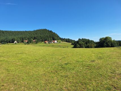
Lauterbacher Wandersteig 2. Etappe, Regierungsbezirk Freiburg/Deutschland
26.08.2025 – Turistika -
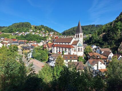
Lauterbacher Wandersteig 1. Etappe, Baden-Württemberg/Deutschland
25.08.2025 – Turistika
Obľúbené výlety v okolí
-
4,8
Ortenau legend circular routes: Devil's Pulpit
strednáTuristika 10,2 km -
4,8
AugenBlick-Runde Lauterbach Güntersberg
svetloTuristika 10,2 km -
3,0
Lauterbach High Valley Circuit in the hiking paradise Alb - Black Forest
svetloTuristika 10,7 km -
4,7
Waldsee circular route to the Urenkopf tower
strednáTuristika 7,30 km -
4,0
Circular hike on the Black Forest Railway Experience Trail
strednáTuristika 6,56 km -
5,0
Wolfach settlers' loop large round
strednáTuristika 9,04 km -
Westweg - Westvariante
ťažkédiaľková pešia trasa 288,8 km -
5,0
Schiltach: Schenkenburg - Kaibach - Circular route
strednáTuristika 12,3 km -
5,0
Premiumweg Wolfacher Schlossblick
strednáTuristika 7,12 km -
5,0
Connoisseur path - Hausacher Bergsteig
strednáTuristika 13,5 km
Turistika a stopovanie


Nenechajte si ujsť ponuky a inšpiráciu na ďalšiu dovolenku
Vaša e-mailová adresa bol pridaný do poštového zoznamu.





