


Bike route over the heights
Úroveň náročnosti: 3

In Elsenfeld, the old Catholic church was built in 1767.
Leisure pool "Elsavamar" (indoor pool), beach and leisure park, tennis facilities, horse rental, fishing opportunities, barbecue area, roller skating...
Leisure pool "Elsavamar" (indoor pool), beach and leisure park, tennis facilities, horse rental, fishing opportunities, barbecue area, roller skating rink for organizing your leisure and sports activities.

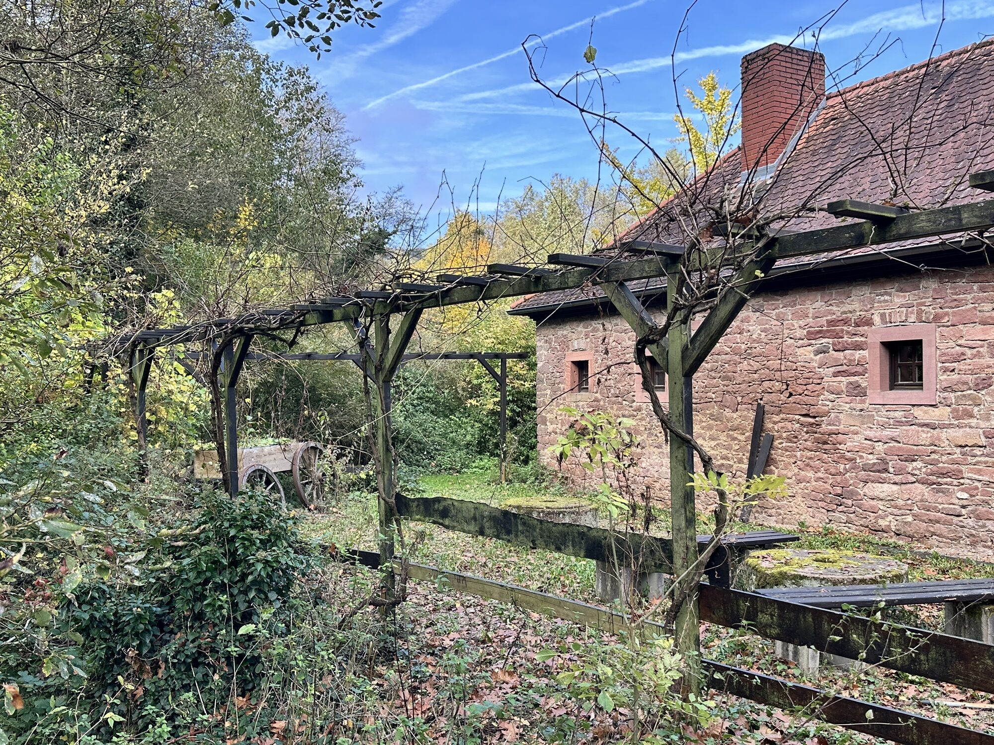
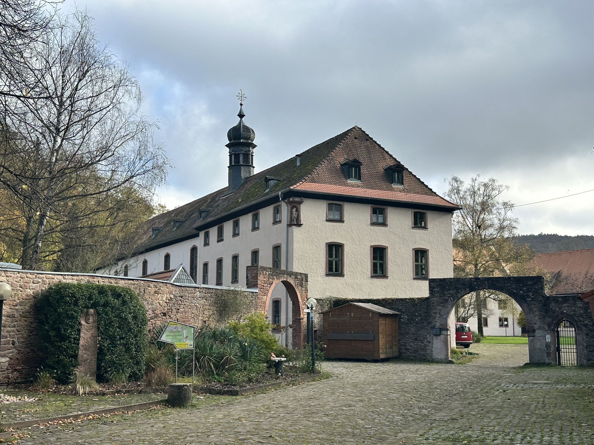
From Elsenfeld, we follow Route 8 along the Elsava to Schippach. From Schippach to Eschau, the bike path runs on the old railway line, past the former Himmelthal monastery.
From there, it goes via Unteraulenbach (Oberaulenbach) and Hobbach to the hamlet of Neuhammer. Between the hamlets Neuhammer and Höllhammer, we again use a short section of the state road. Alternatively, at Neuhammer, you can cross the road and use the newly developed bike path towards Höllhammer.
From Höllhammer, the route follows the former railway line to Heimbuchenthal. From here, we ride along the district road to Volksbrunn, Leidersbach, Roßbach, Hausen, and Hofstetten. Here, we use the bike path along the district road to Kleinwallstadt and then ride back along the Main to Elsenfeld. Along the way, we have to overcome ridges of 340 m and 310 m above sea level near Volkersbrunn and Roßbach respectively.
After Roßbach, an alternative route allows us to turn off and return to Elsenfeld via Eisenbach. Between Elsenfeld and Kleinwallstadt, Route 9 coincides with Route 10. Additionally, the section between Elsenfeld and Schippach is the same as Route 8.
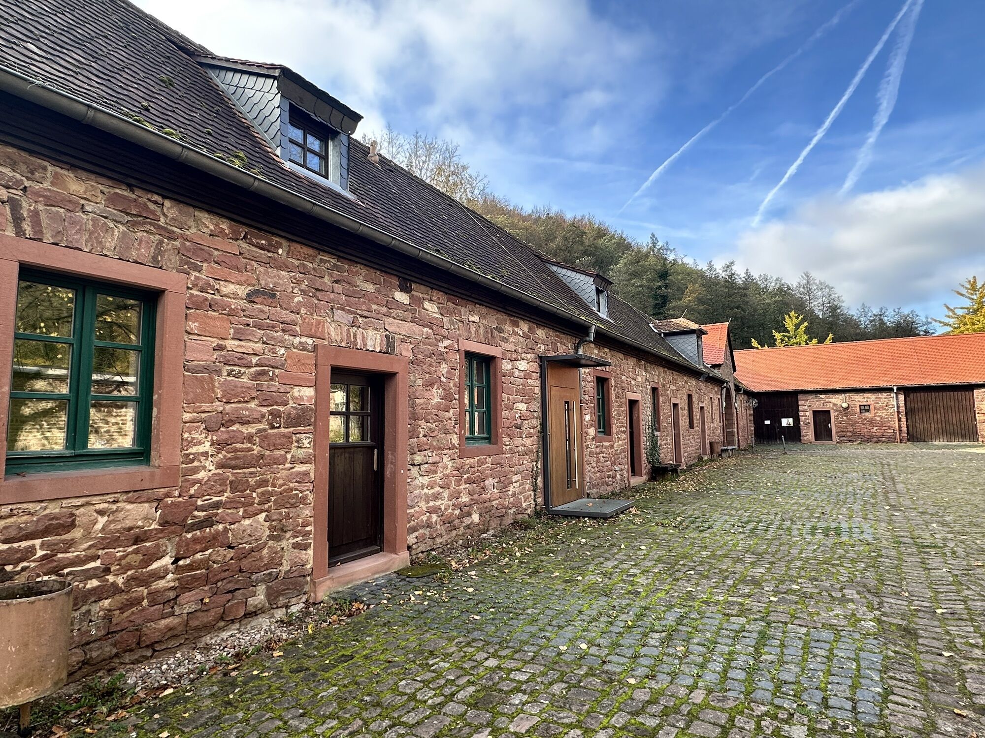
The entire route runs on well-developed paths. Only the sections between Hobbach and the hamlet Neuhammer and between Höllhammer and Heimbuchenthal are gravelled. The alternative route between Roßbach and Eichelsbach also leads over a gravel forest path. All other sections are paved.
Áno
Touring bike with multi-gear shifting
Coming from Frankfurt: Take the A3 at Aschaffenburg onto the B469 (exit "Stockstadt") towards Miltenberg. The exit Elsenfeld is signposted. Coming from Würzburg: Take the A3 at the exit "Rohrbrunn". Elsenfeld is signposted.
By train from the direction of Aschaffenburg or Miltenberg to the Elsenfeld stop
At the station in Elsenfeld
3
Local history museum Eisenbach, local history museum Elsenfeld
Obľúbené výlety v okolí
-
"Of Clay, Stones and Shards"
strednáTuristika 8,31 km -
5,0
Dorfprozelten: Kollenburg-Chapel-Route
strednáTuristika 11,8 km -
Obernburg - Eisenbach round
strednáTuristika 10,7 km -
5,0
Kulturweg Niedernberg: Blechkatzen im Honischland
Turistika 10,2 km -
4,0
European cultural route: "From Hecke to Häcke in Hebboch"
strednáTuristika 10,2 km -
3,0
Franconian Red Wine Hiking Route - 4th stage from Erlenbach to Klingenberg
svetloTuristika 4,08 km -
5,0
Klingenberg: Hiking Trail Schnepfe
strednáTuristika 5,03 km -
4,0
Elsenfeld district Rück: Via Eichelsbach and the Himmelthal monastery through the vineyards back to the car park in Churfranken
ťažkéTuristika 9,32 km -
3,0
Elsenfeld district Rück: Across the vineyards past the Red Cross to Hofstetten, return over the Hochberg to the parking lot
ťažkéTuristika 10,6 km -
Altenbuch Forest House Route
svetloTuristika 14,8 km
Turistika a stopovanie


Nenechajte si ujsť ponuky a inšpiráciu na ďalšiu dovolenku
Vaša e-mailová adresa bol pridaný do poštového zoznamu.