






Panoramic pleasure bike route in Königswinkel

Úroveň náročnosti: 3
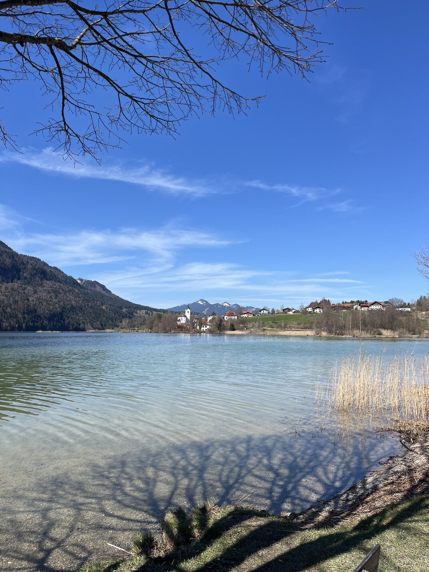
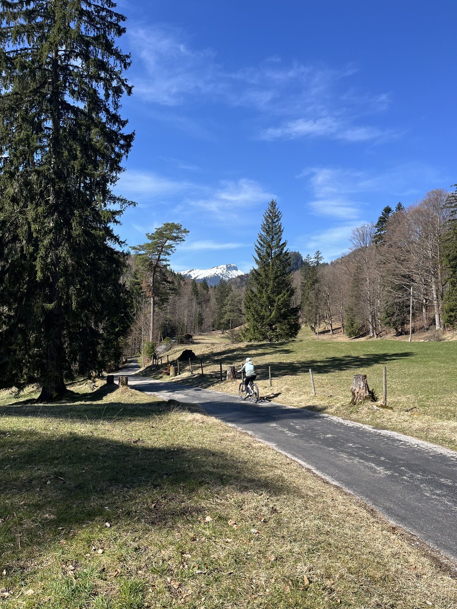
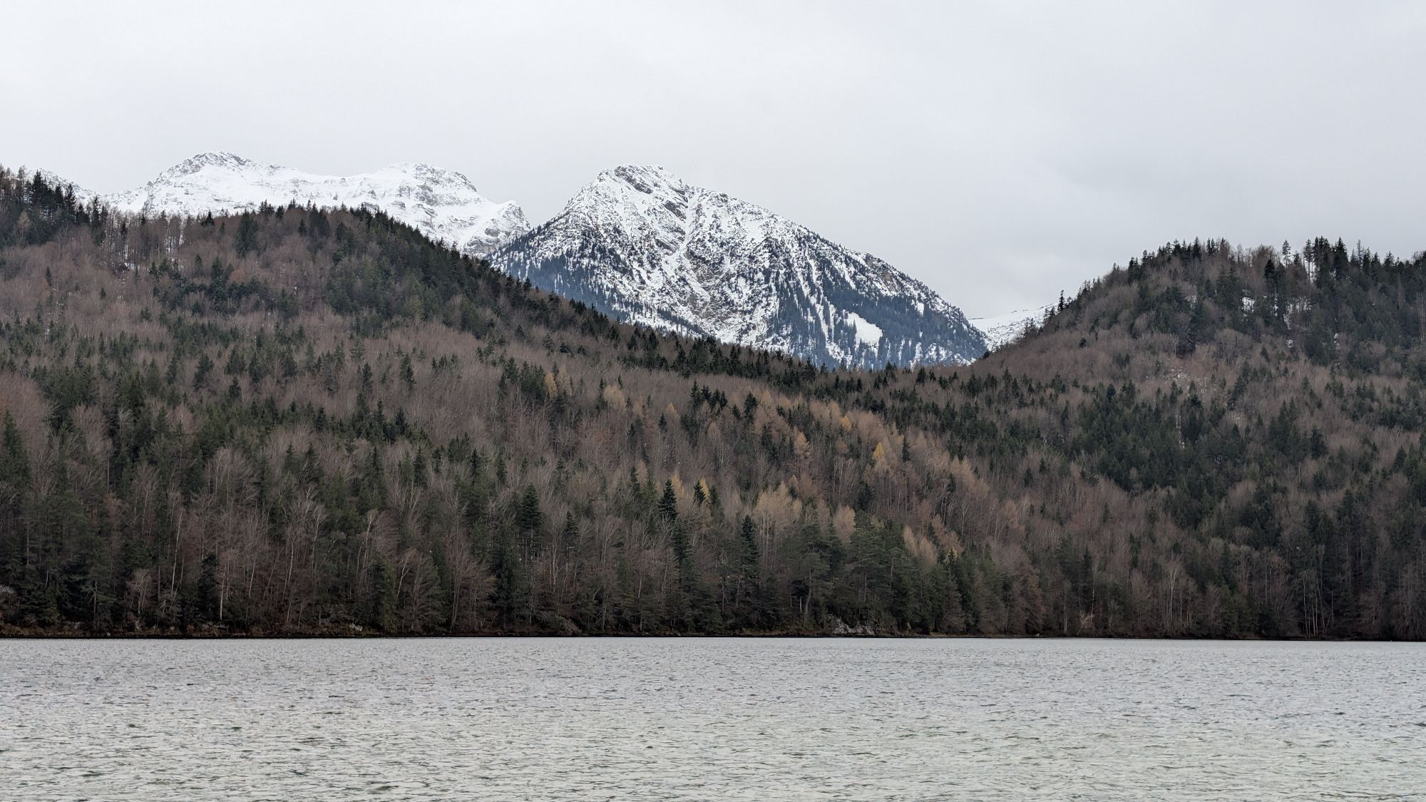
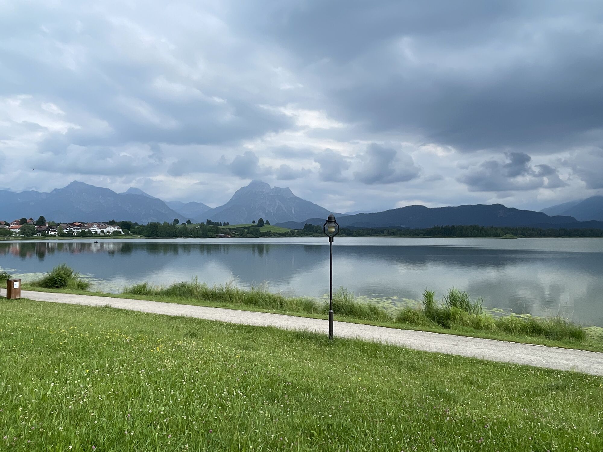

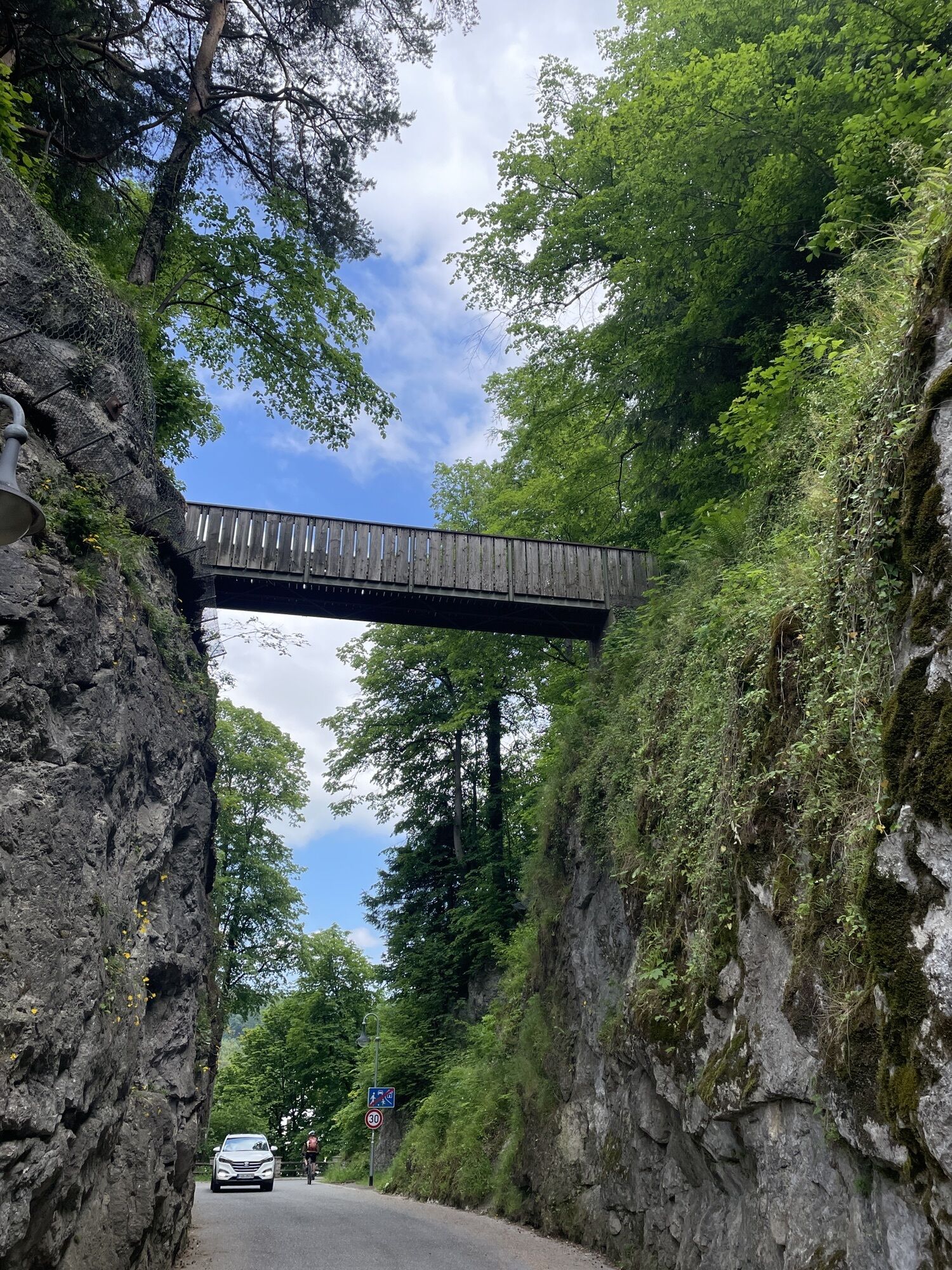
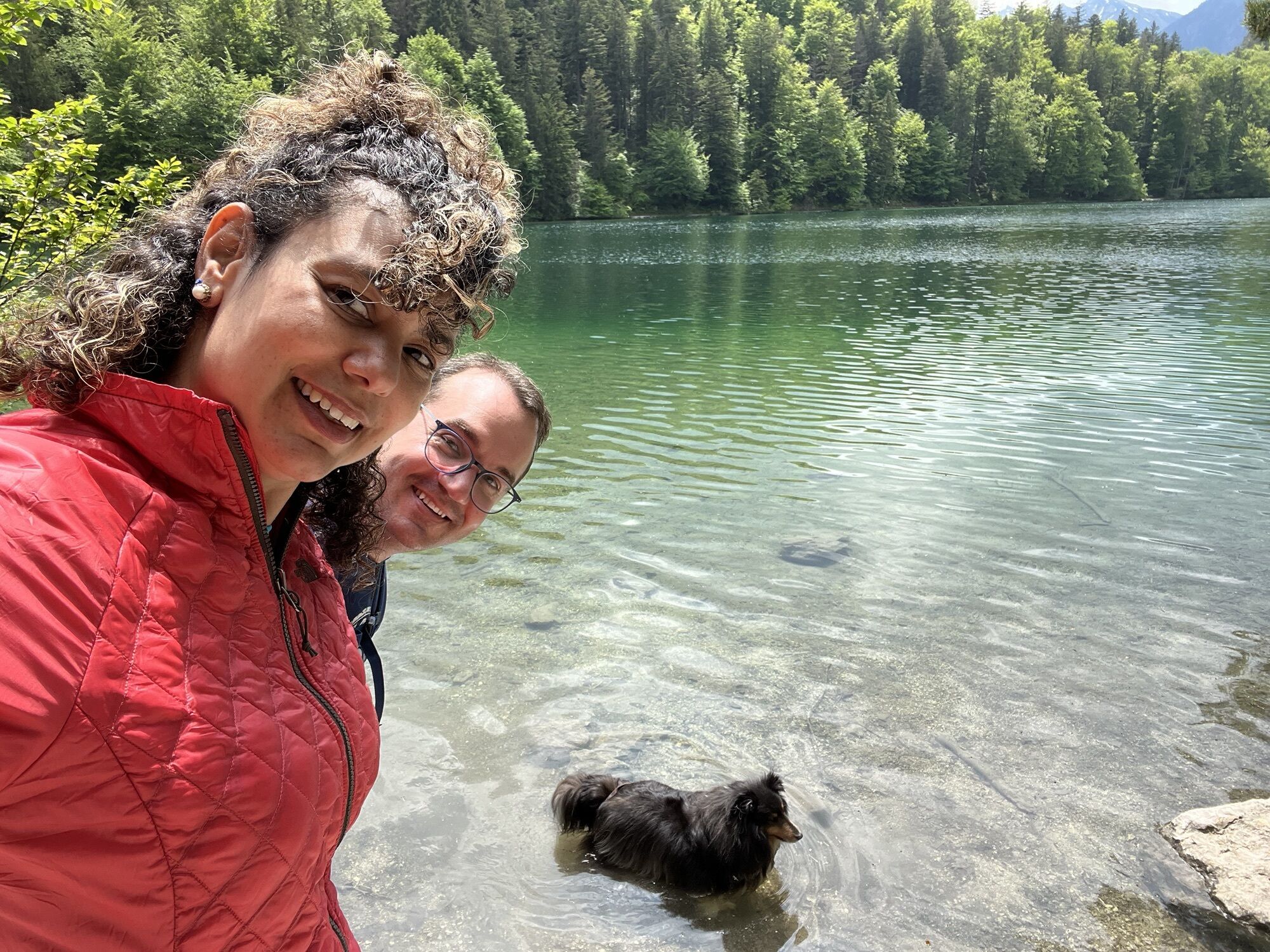
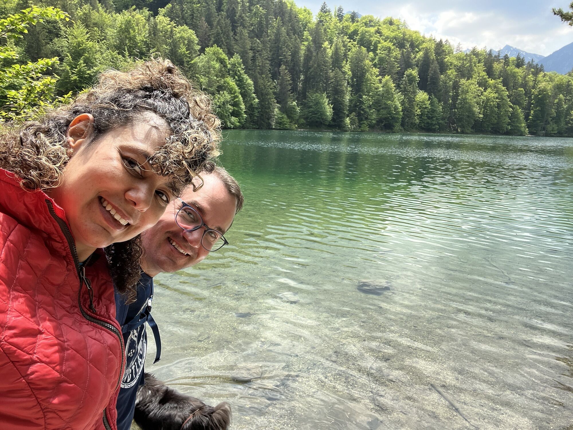
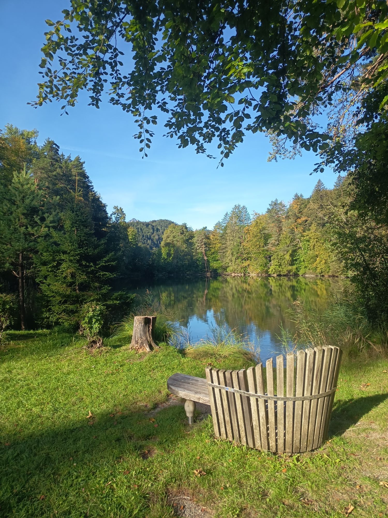
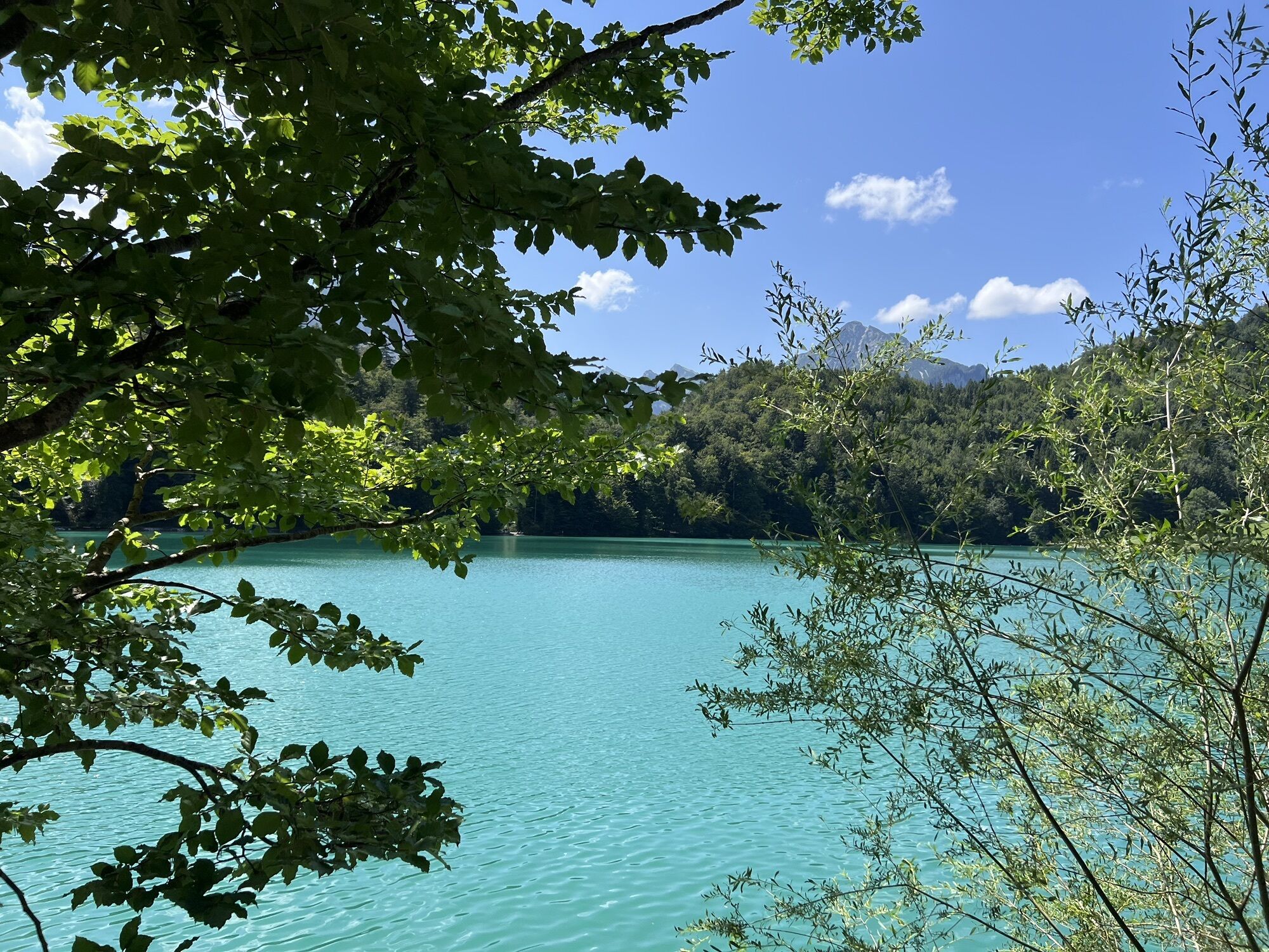
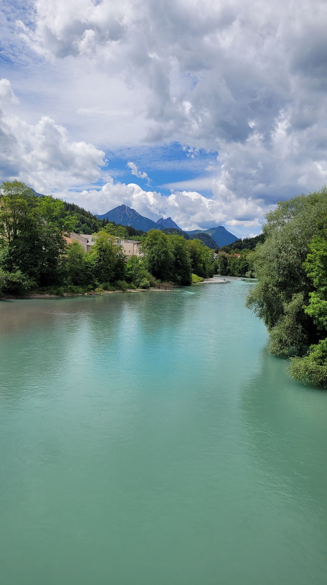
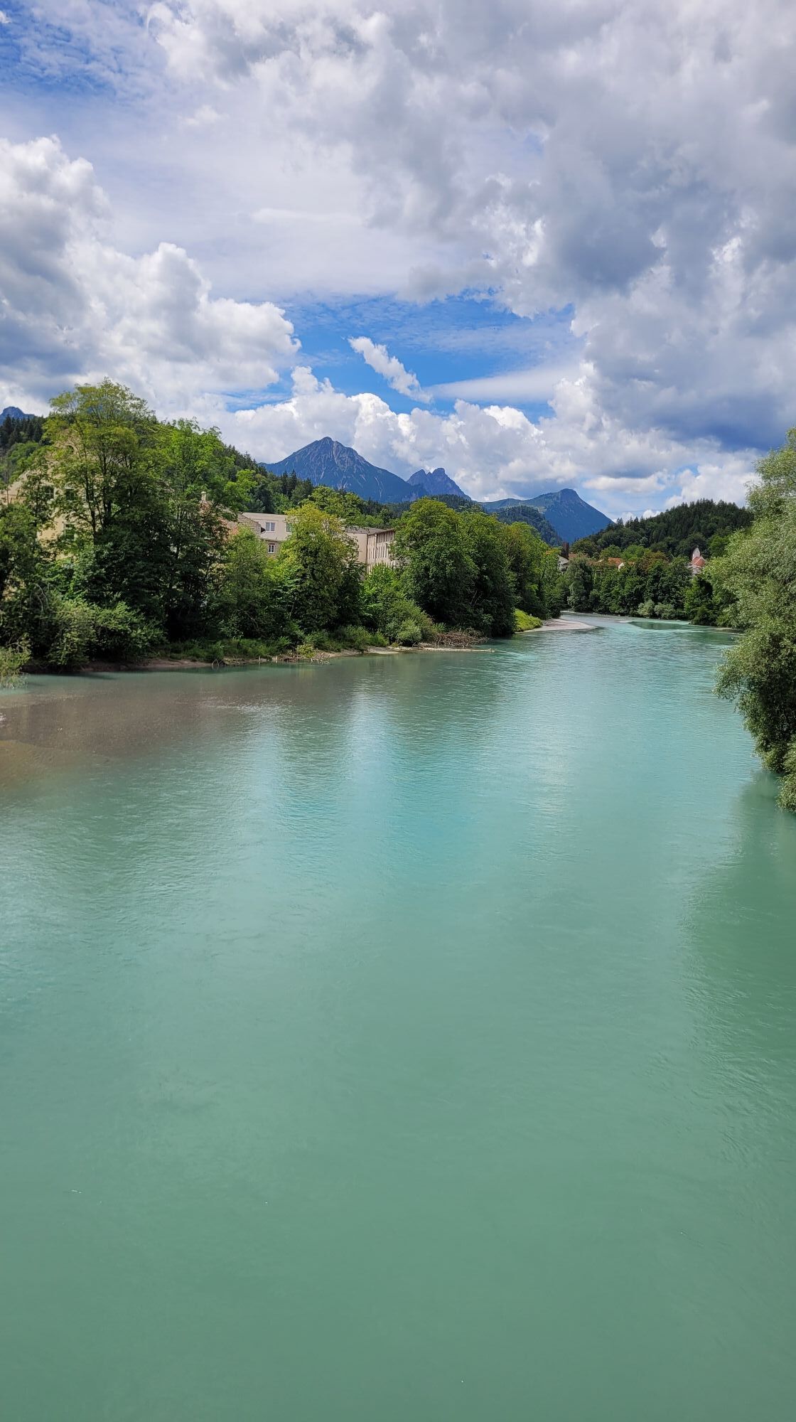
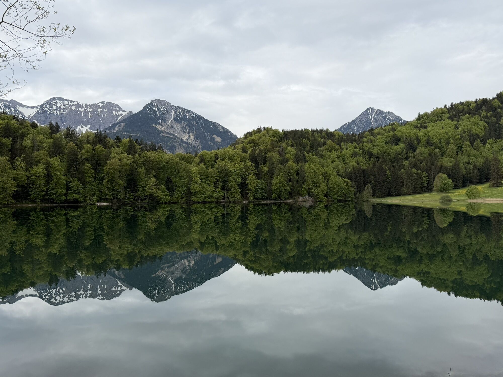
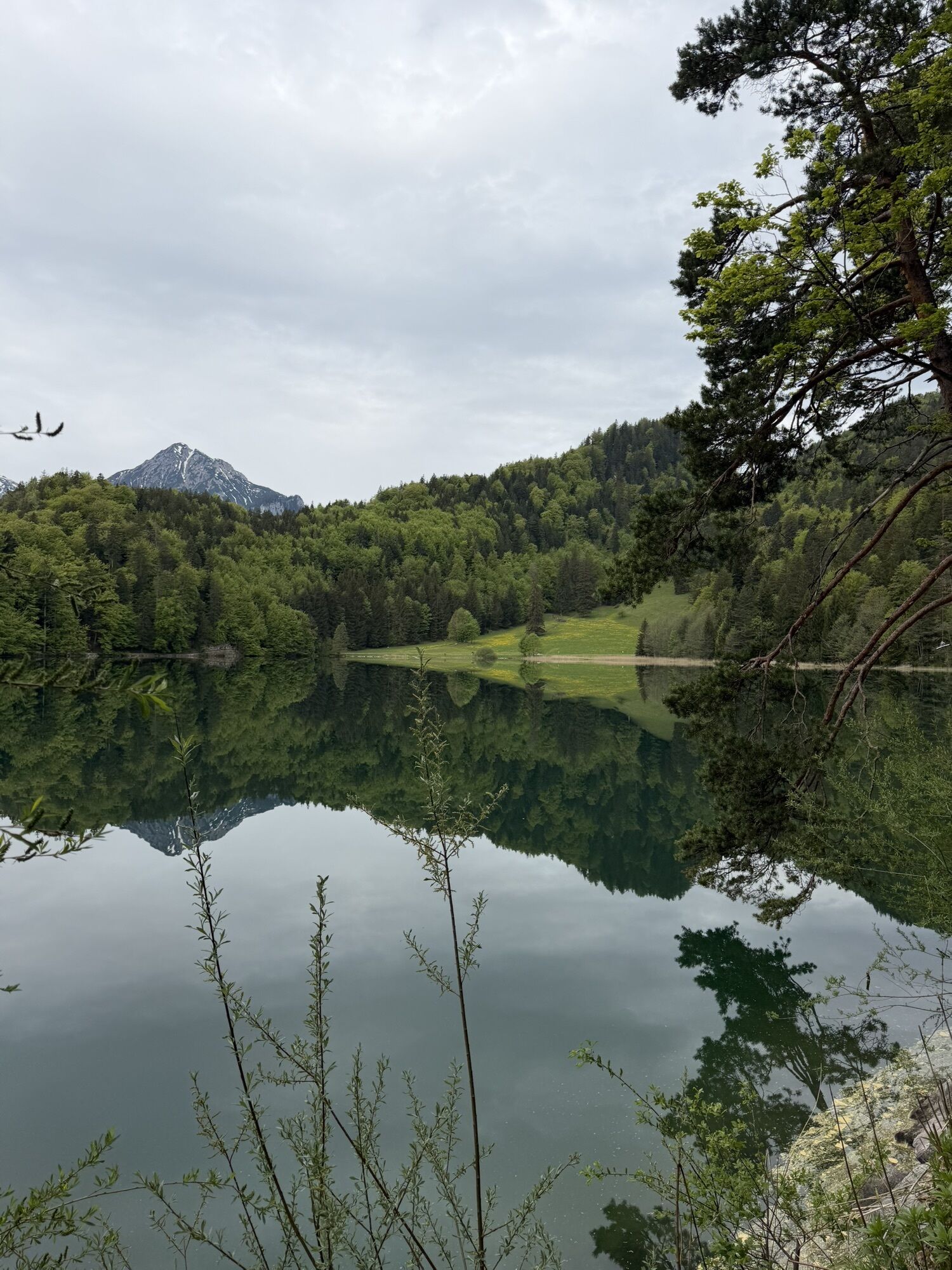
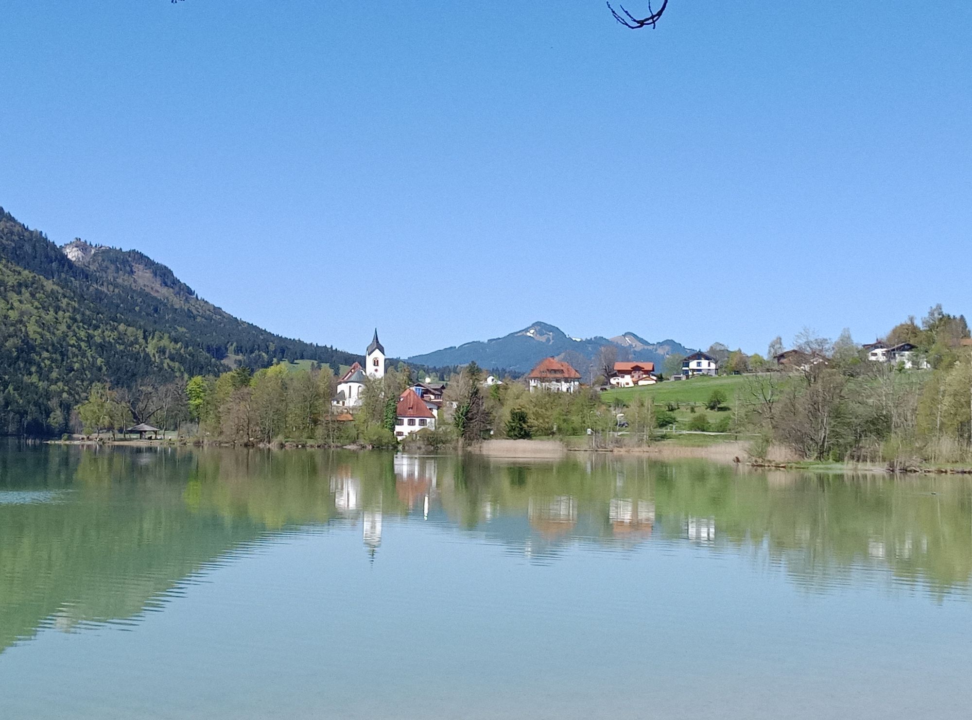
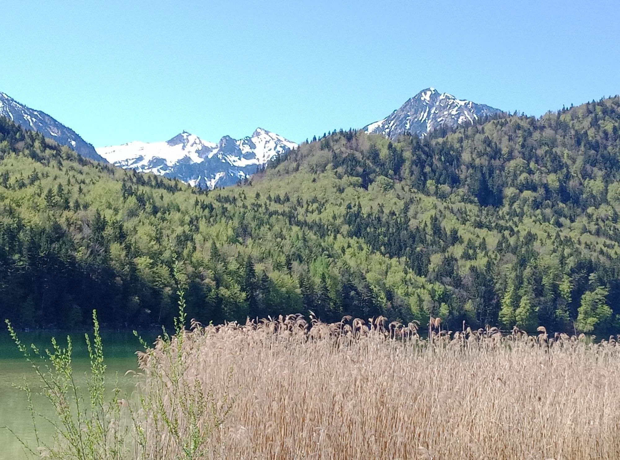
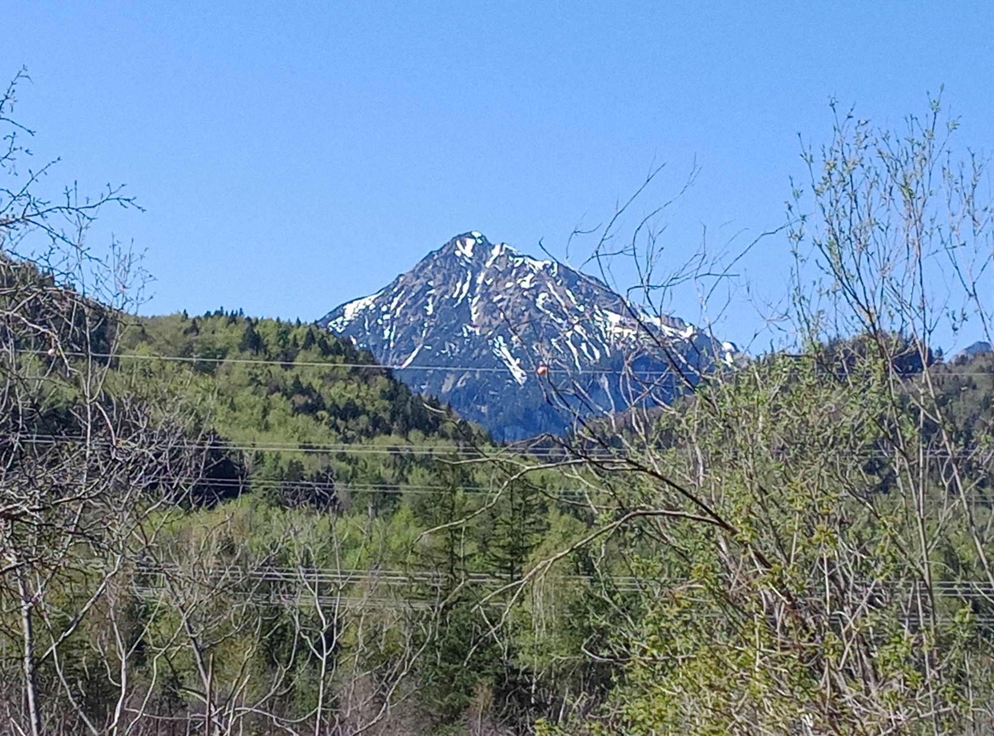
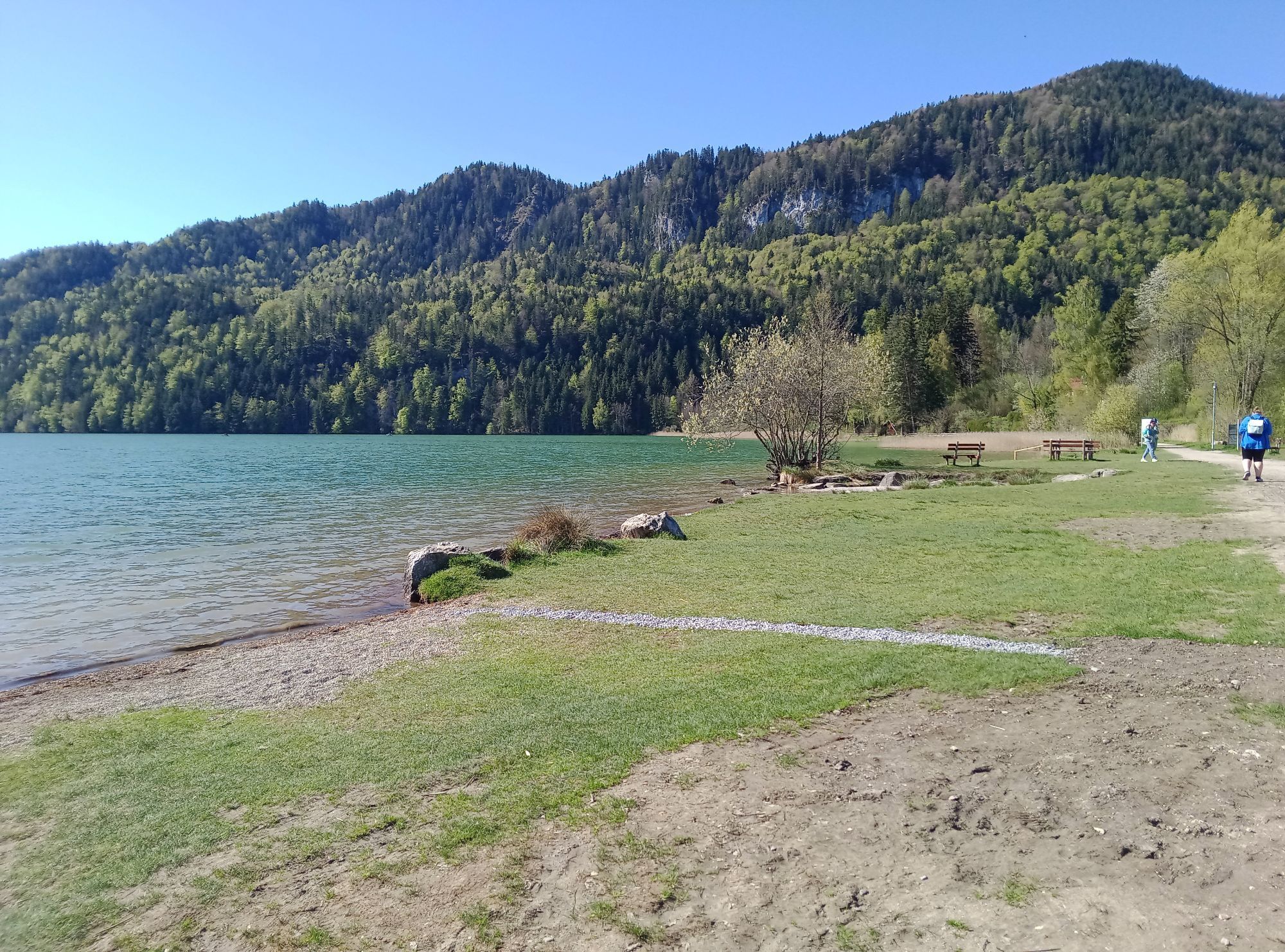
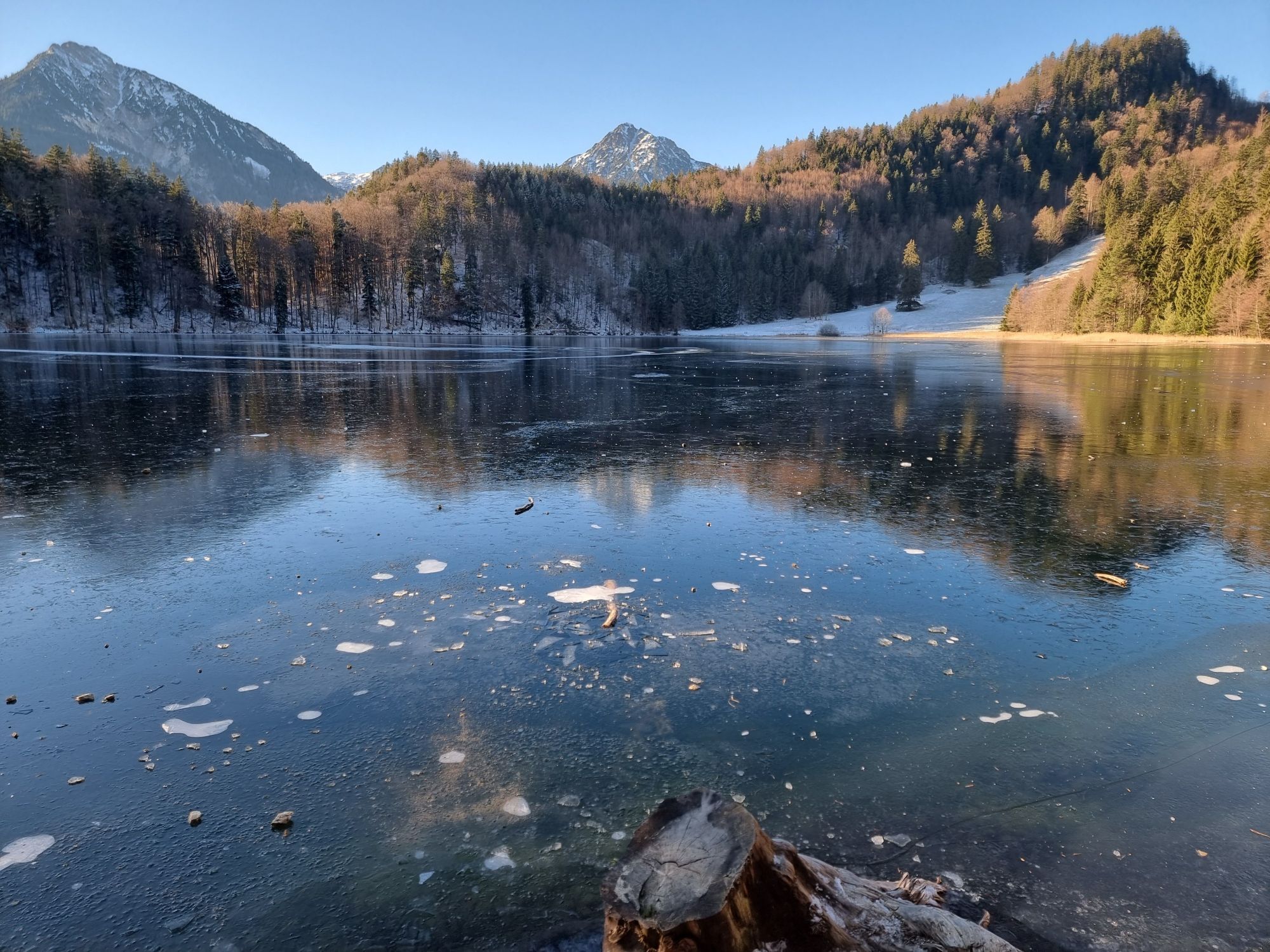
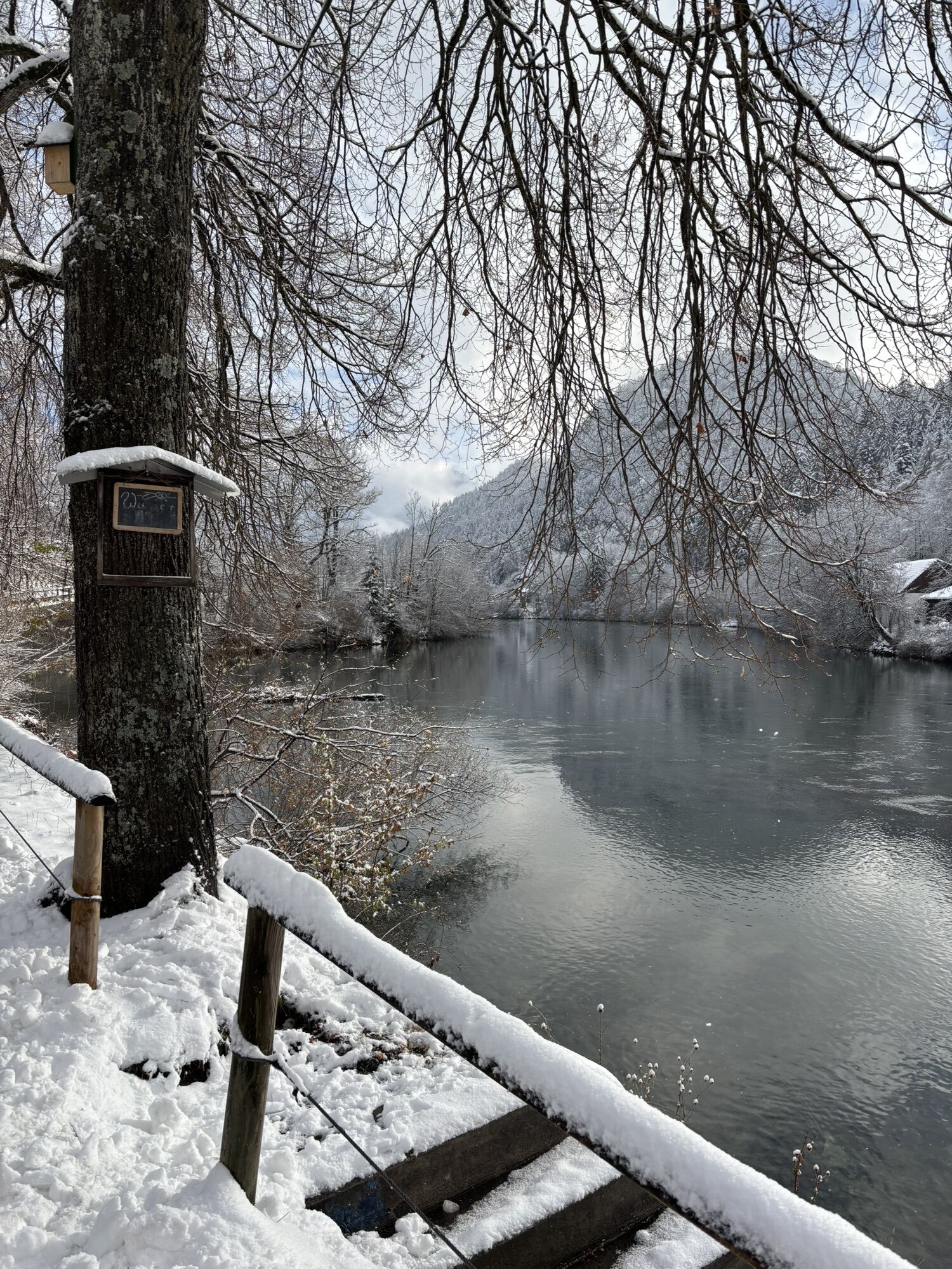
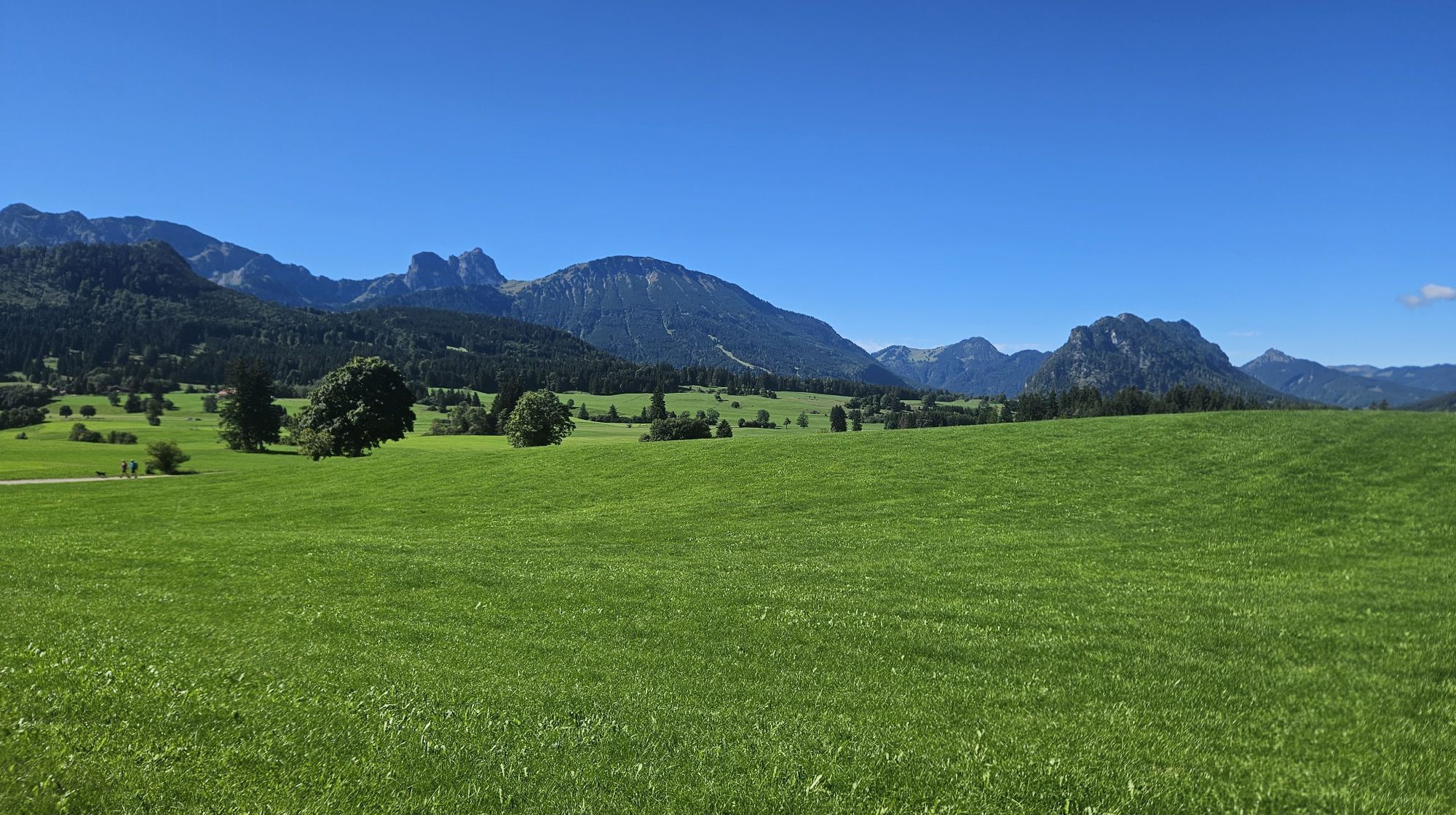
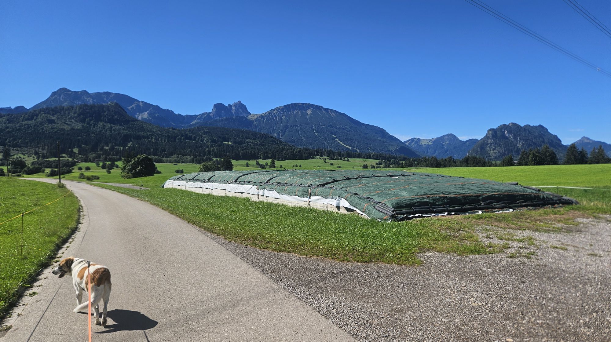

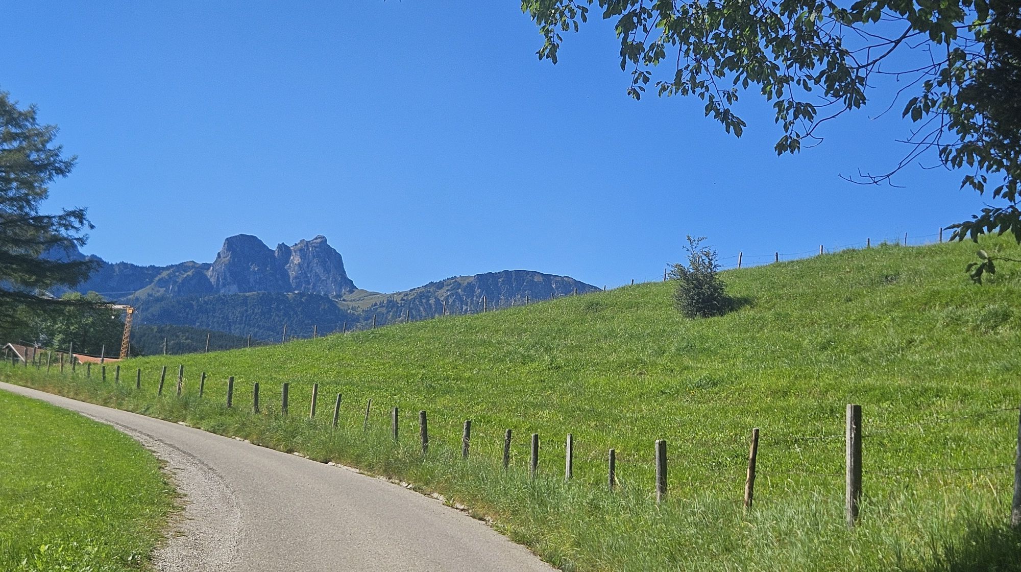

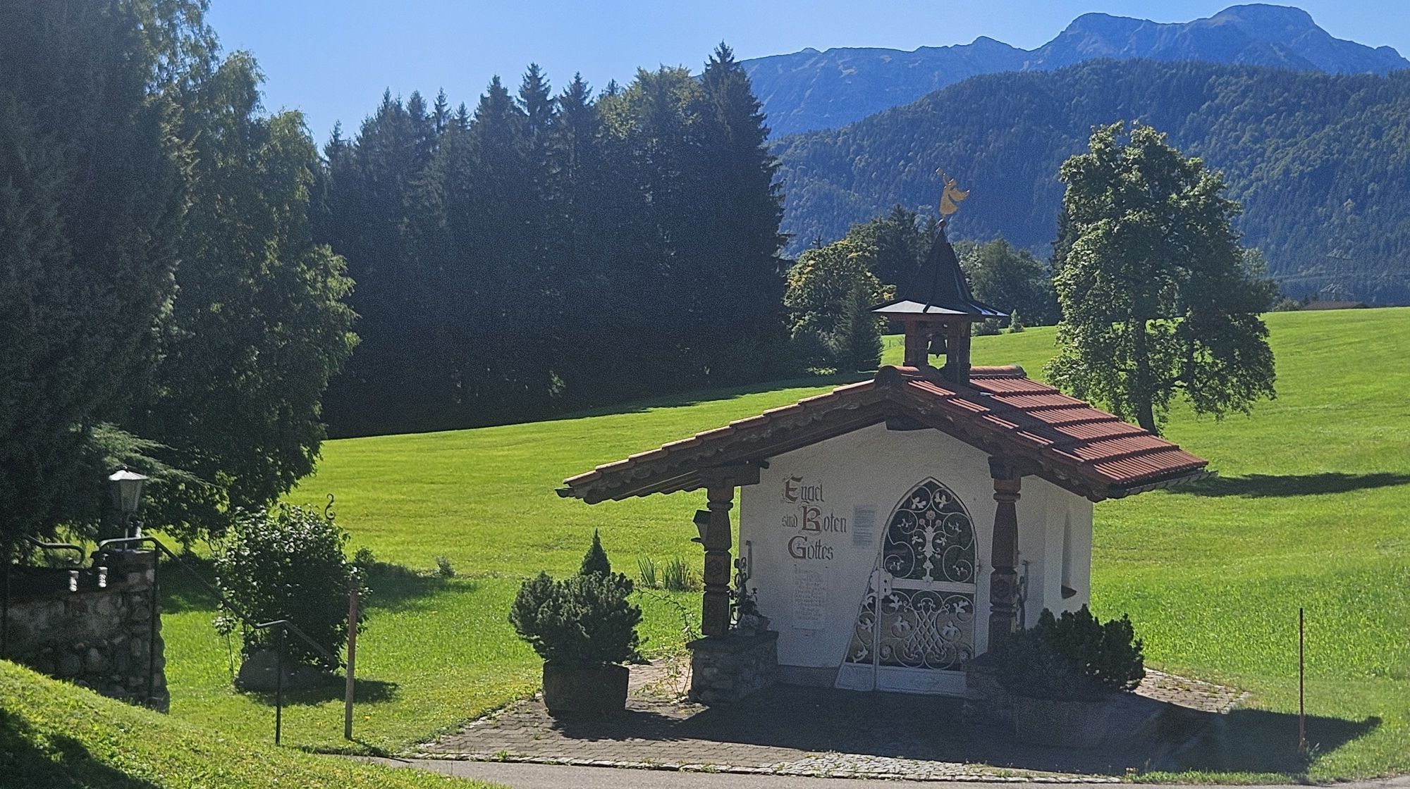

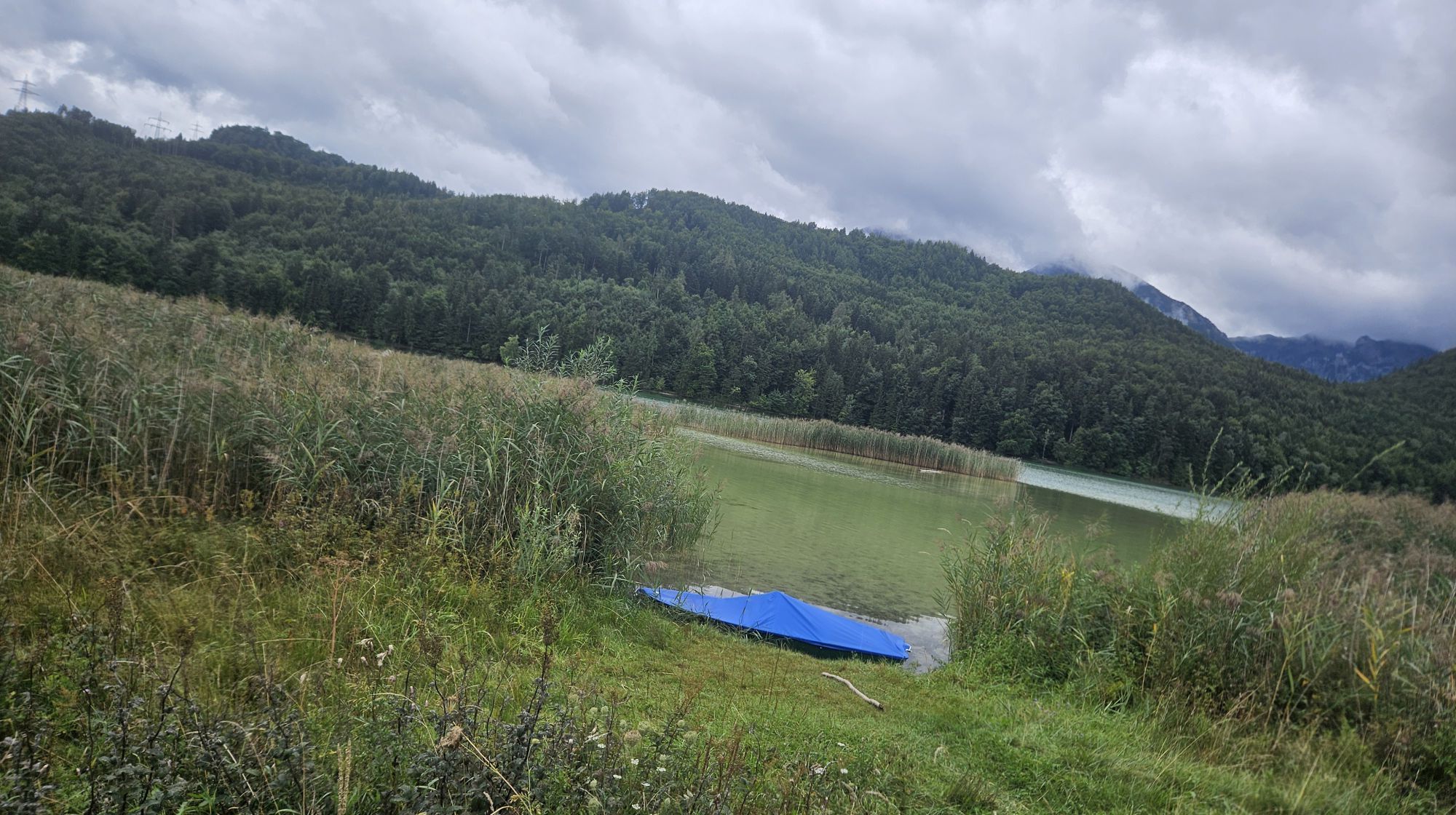
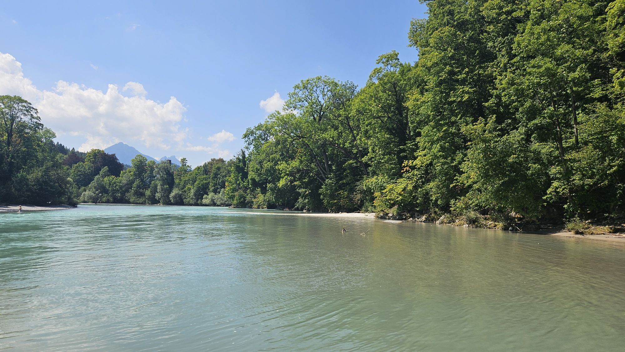

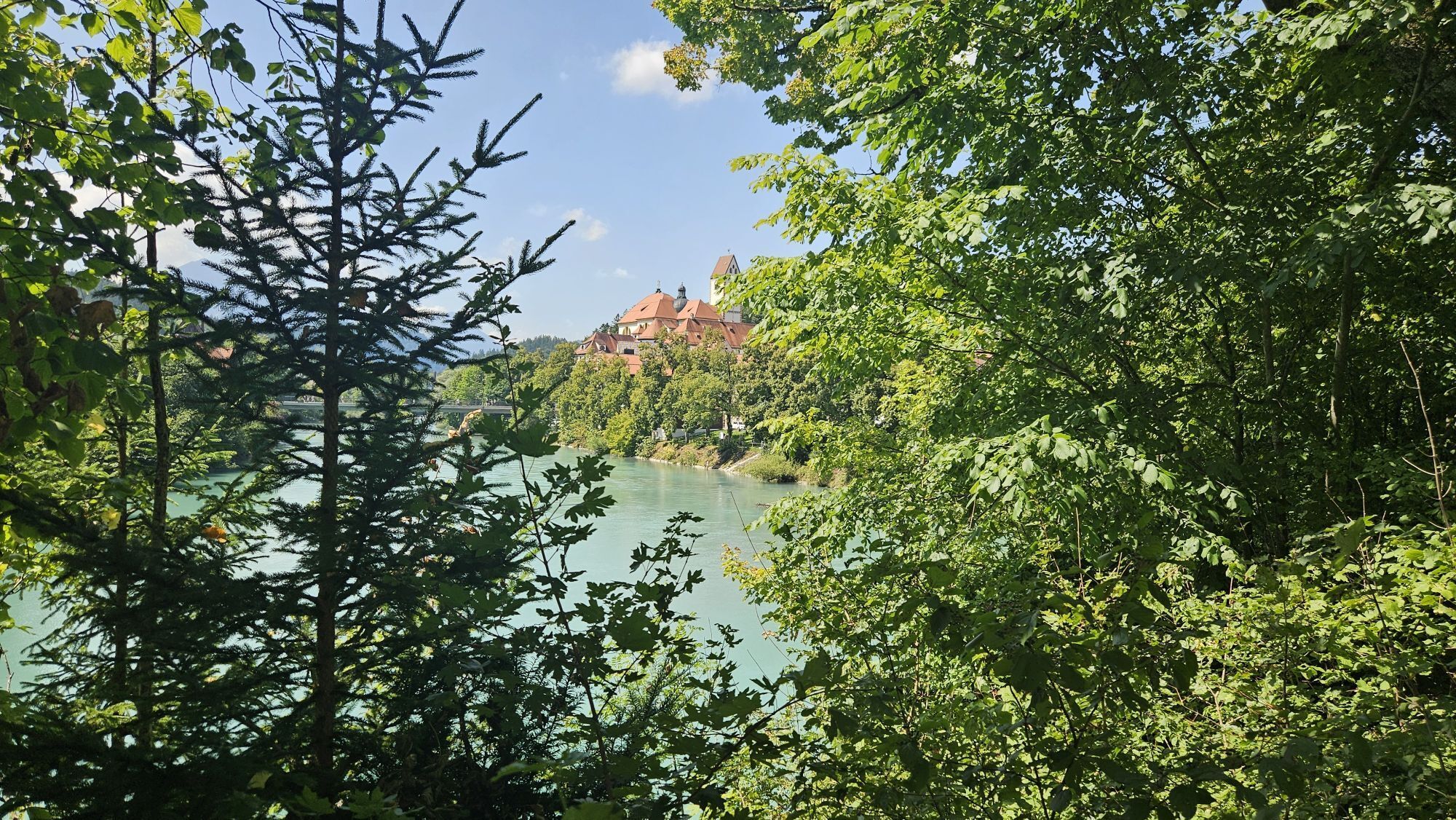
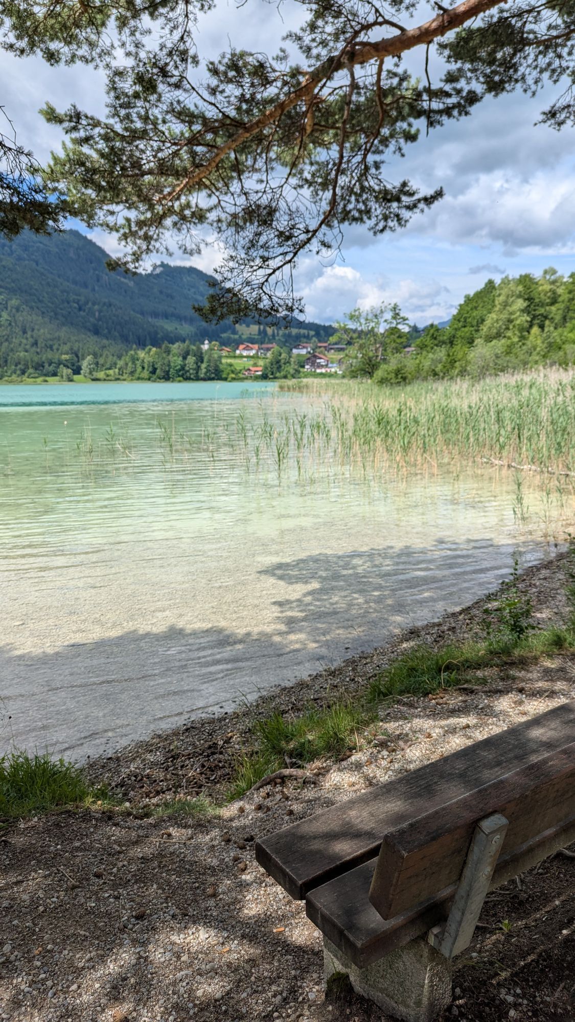
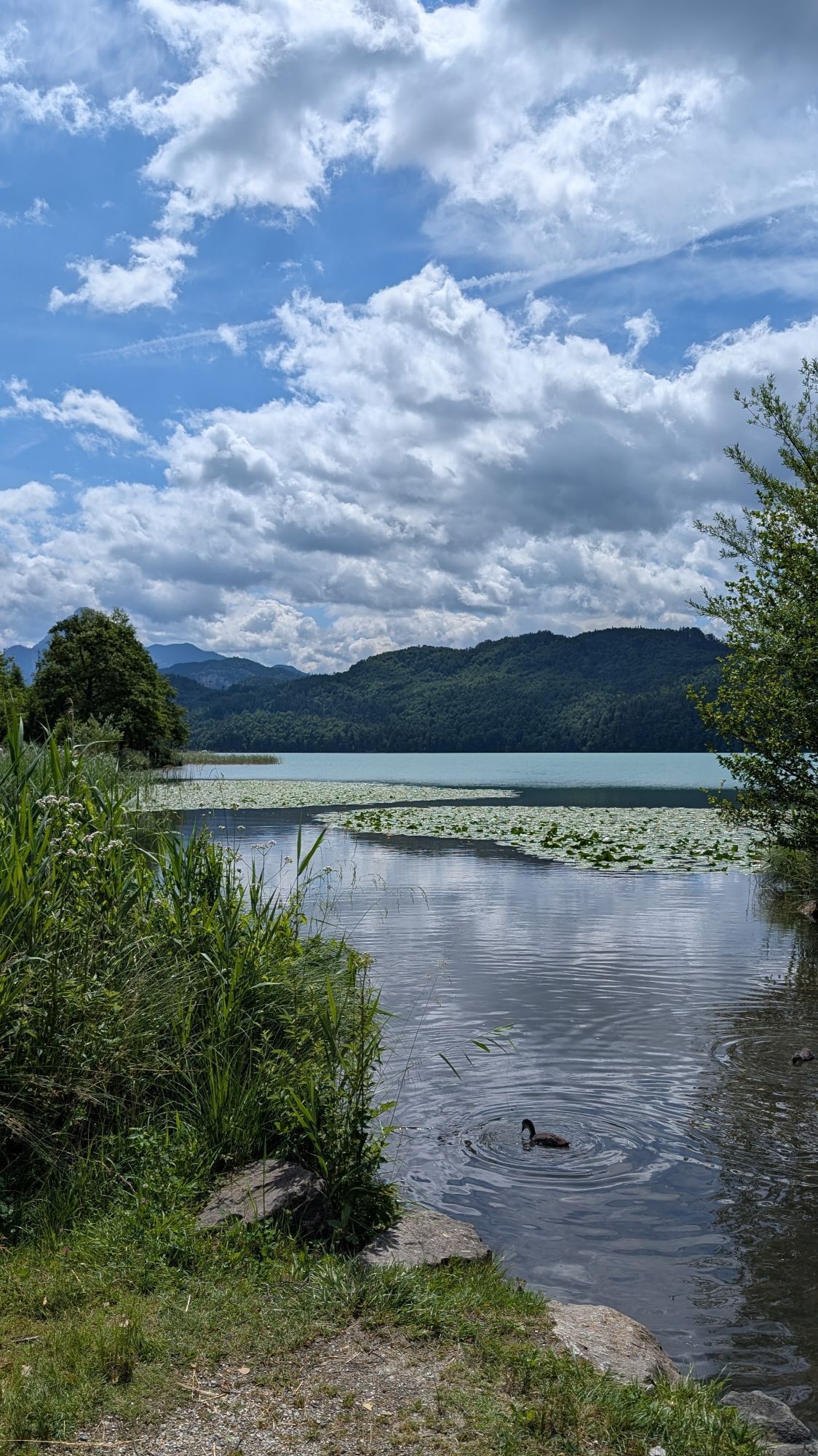
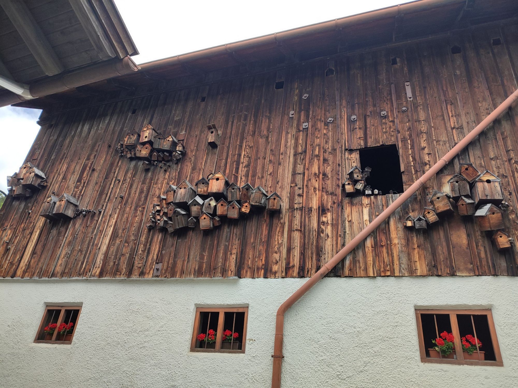
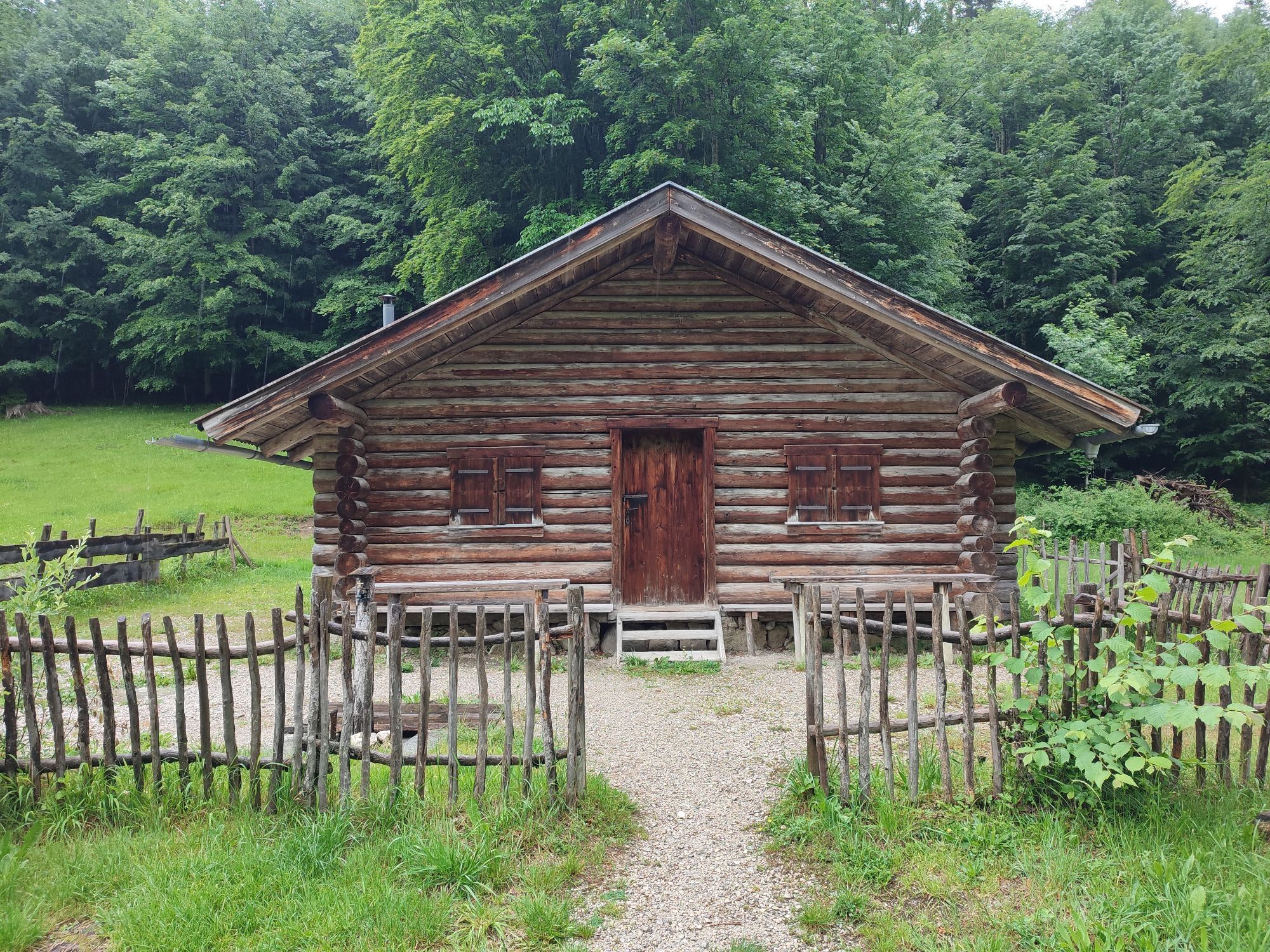
Enjoy a pleasant and scenic panorama route along seven picturesque lakes. This bike route takes you through southern Ostallgäu and lets you experience the impressive landscape of gentle hills and majestic...
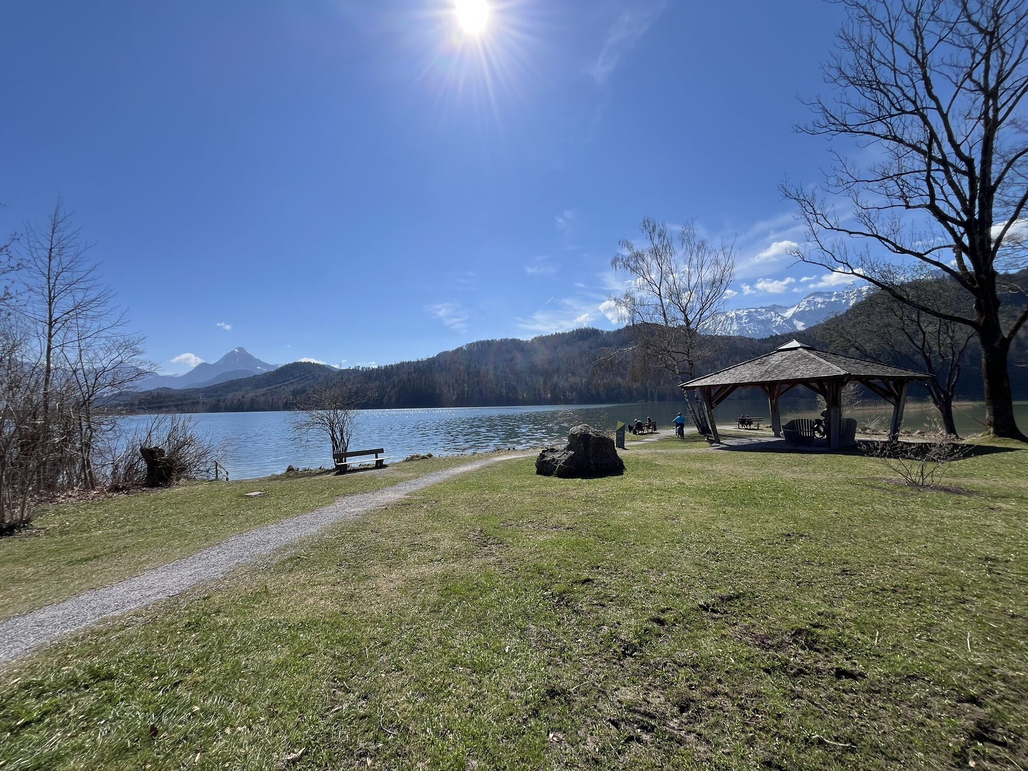
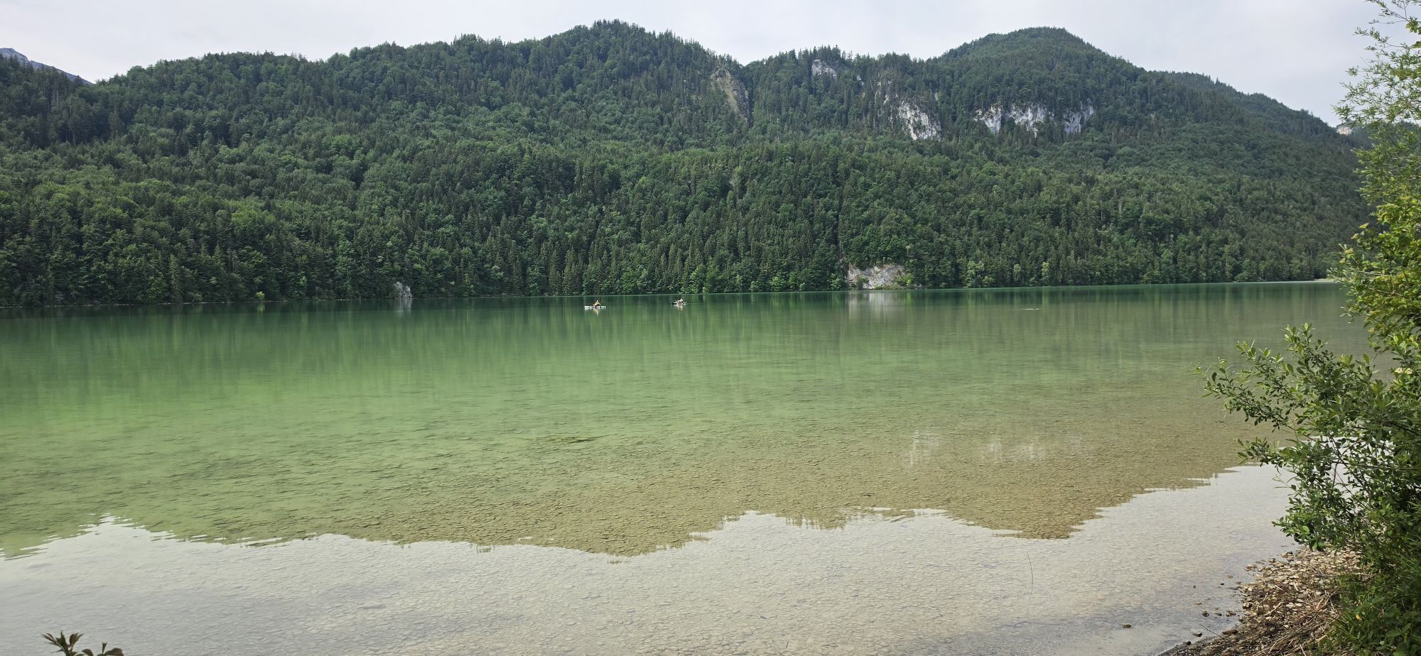
Enjoy a pleasant and scenic panorama route along seven picturesque lakes. This bike route takes you through southern Ostallgäu and lets you experience the impressive landscape of gentle hills and majestic mountains. With a snack and swimwear in your backpack, you cycle through the idyllic Königswinkel. At one of the Allgäu lakes, you can refresh yourself, relax in the cool water, and let your soul dangle. This route combines sportive activity with relaxing moments in a breathtaking natural setting.

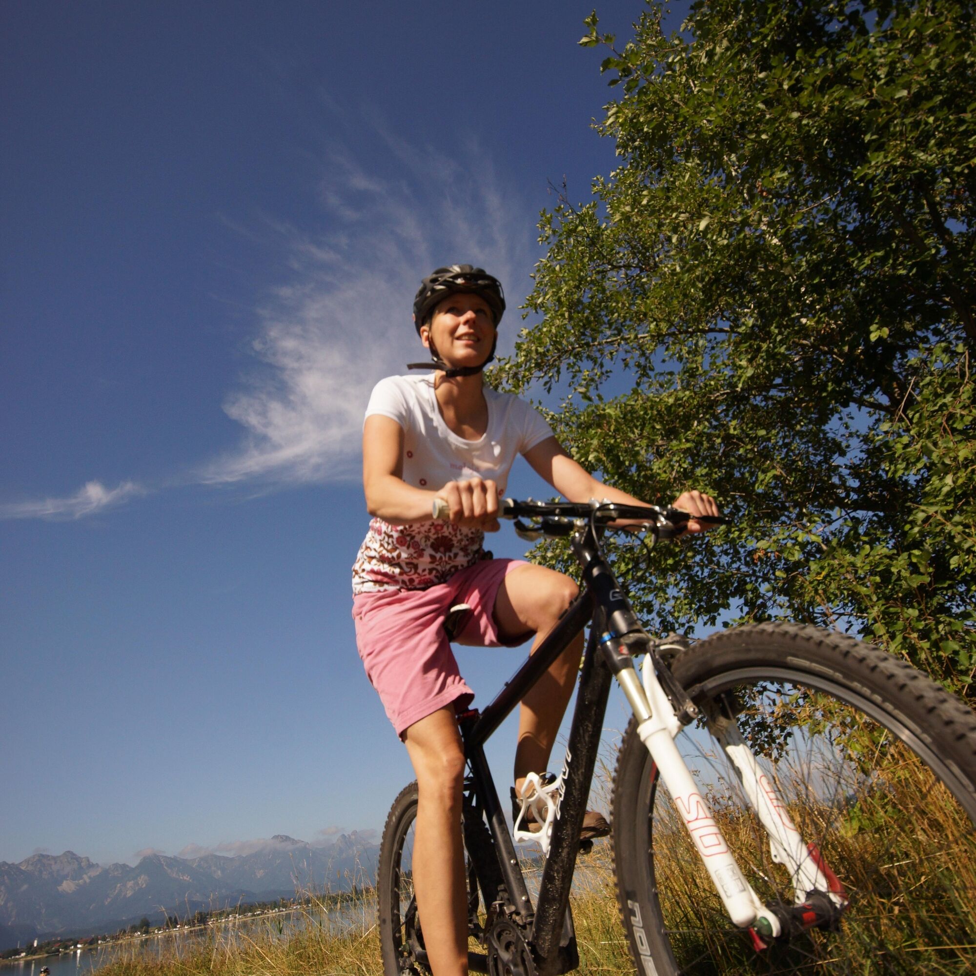

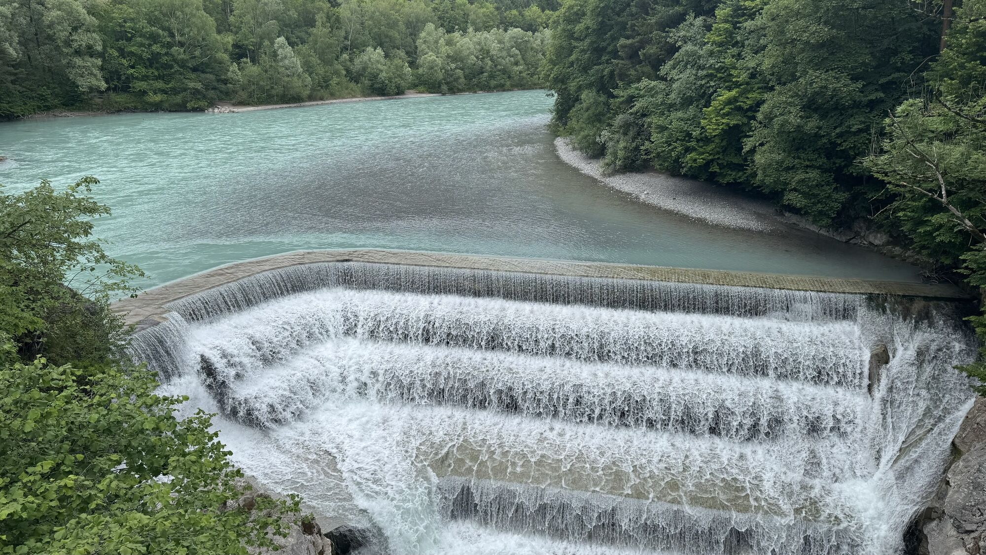
From the starting point, you start comfortably in the direction of Horn and Füssen. After a short time, you reach the Lech barrage – please get off and push your bike here, as cycling on the bridge is not permitted. After crossing, ride straight ahead briefly, then turn right and follow Weidachstraße to the Füssen boat harbor. Leave the harbor on your right and follow the small climb up to the roundabout at the cemetery wall. From here, follow the signposts towards Hopfen am See.
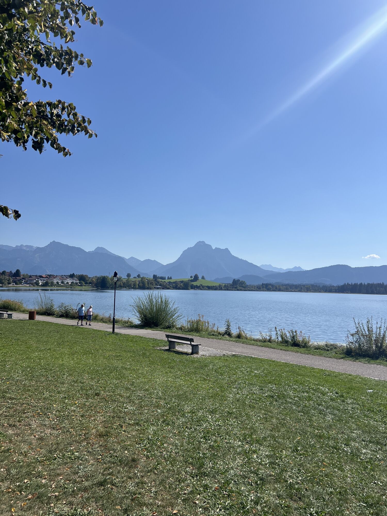
With gentle hills and magnificent views, you continue cycling to Hopfensee. After about three kilometers, you reach Hopfen am See – the picturesque “Riviera of Allgäu.” Along the lake, the Kneipp island invites you to take a first break.
Freshly strengthened, continue along the bike path to Hopferau. There, keep right and go straight until you reach the district of Weizern. Here, a stop at the Bergkäserei Weizern is worthwhile; it is located left of the route and offers numerous Allgäu specialties. After visiting the cheese dairy, turn left towards Lieben and Schwarzenbach.
The route leisurely winds through small, peaceful hamlets to Schweinegg. From here, follow the signs to Kögelhof/Kögelweiher. At the idyllic Kögelweiher, keep left towards Oberdolden and Hummels until you reach the district of Zell, which belongs to the municipality of Eisenberg – known for the impressive castle ruins of Hohenfreyberg and Eisenberg.
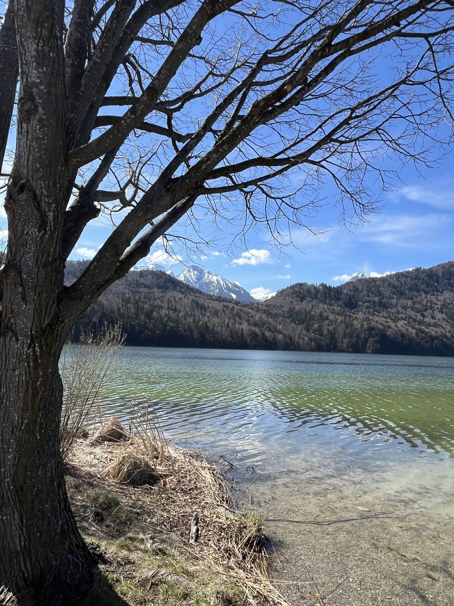
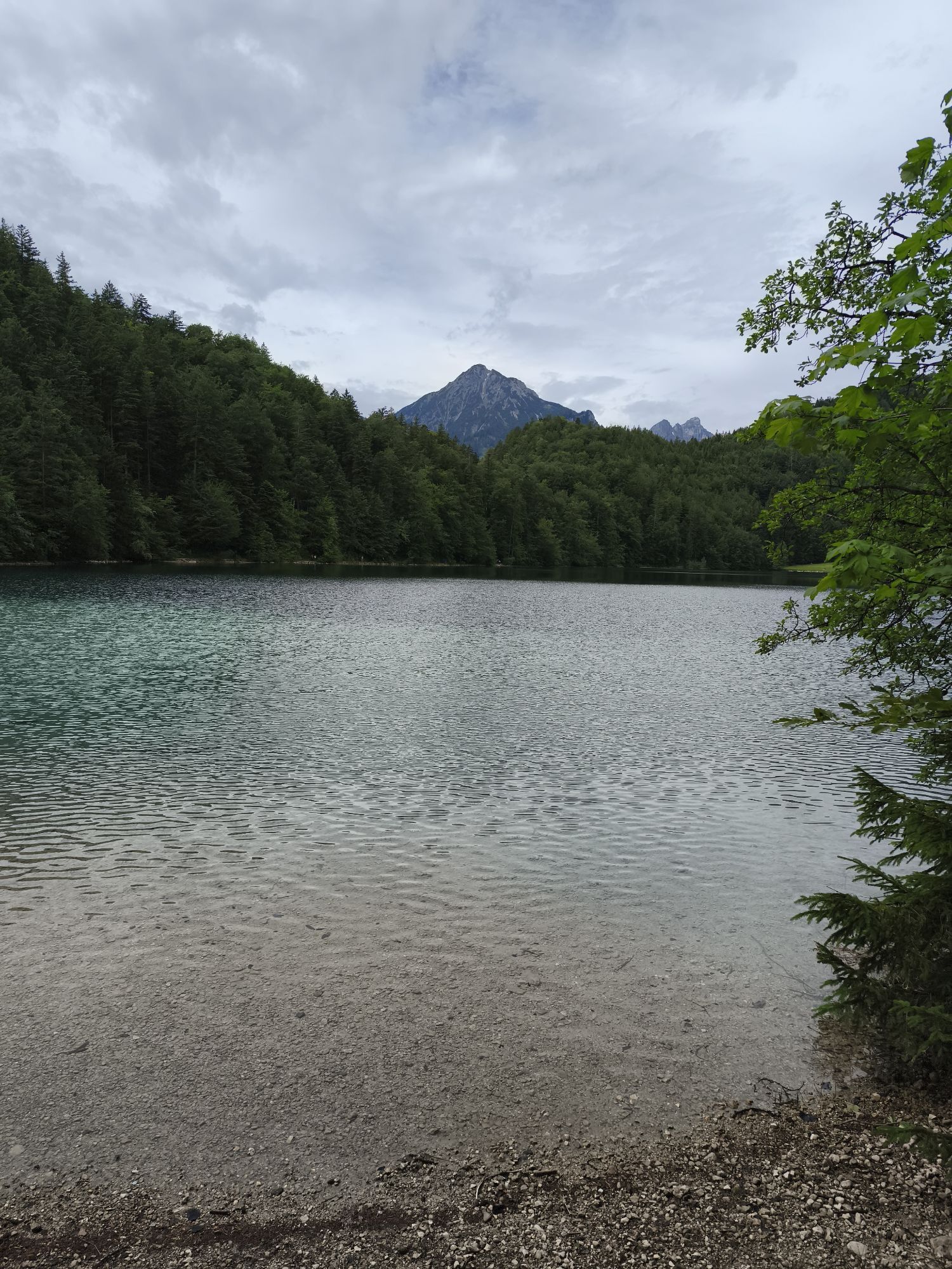
From Zell, the path continues towards Weißensee. You pass the picturesque hamlets of Oberdeusch, Unterdeusch, Thal, and Wiedmar, always accompanied by stunning views of the Allgäu Alps. Soon you reach Weißensee. After a short ride, you arrive at the road leading up to Alatsee. From there, you cycle past Ober- and Mittersee and through the atmospheric “Valley of Senses” to Bad Faulenbach.
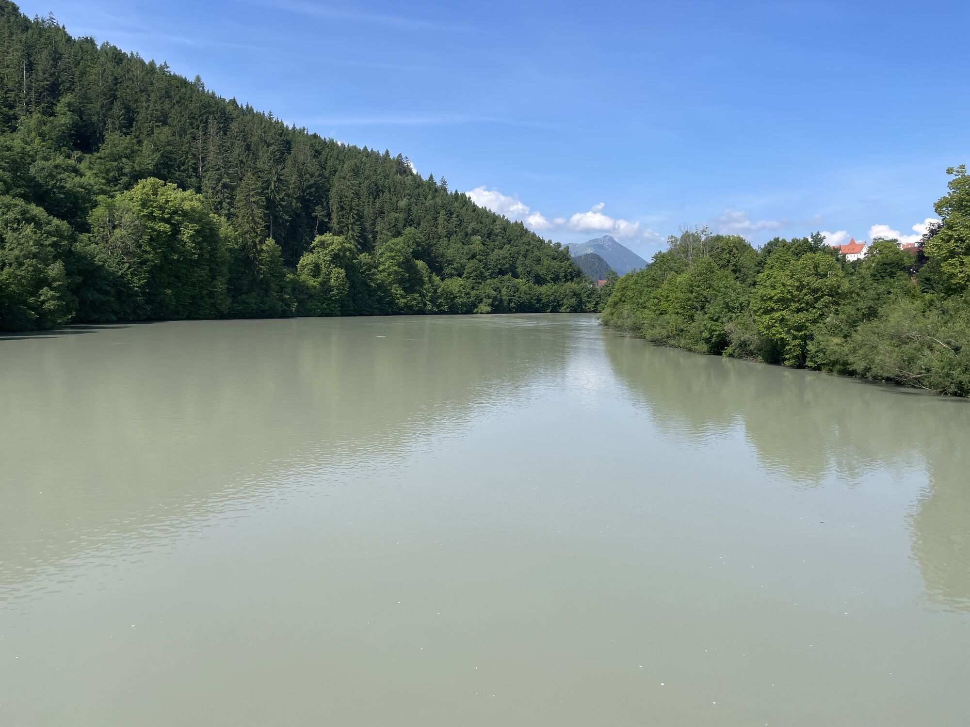
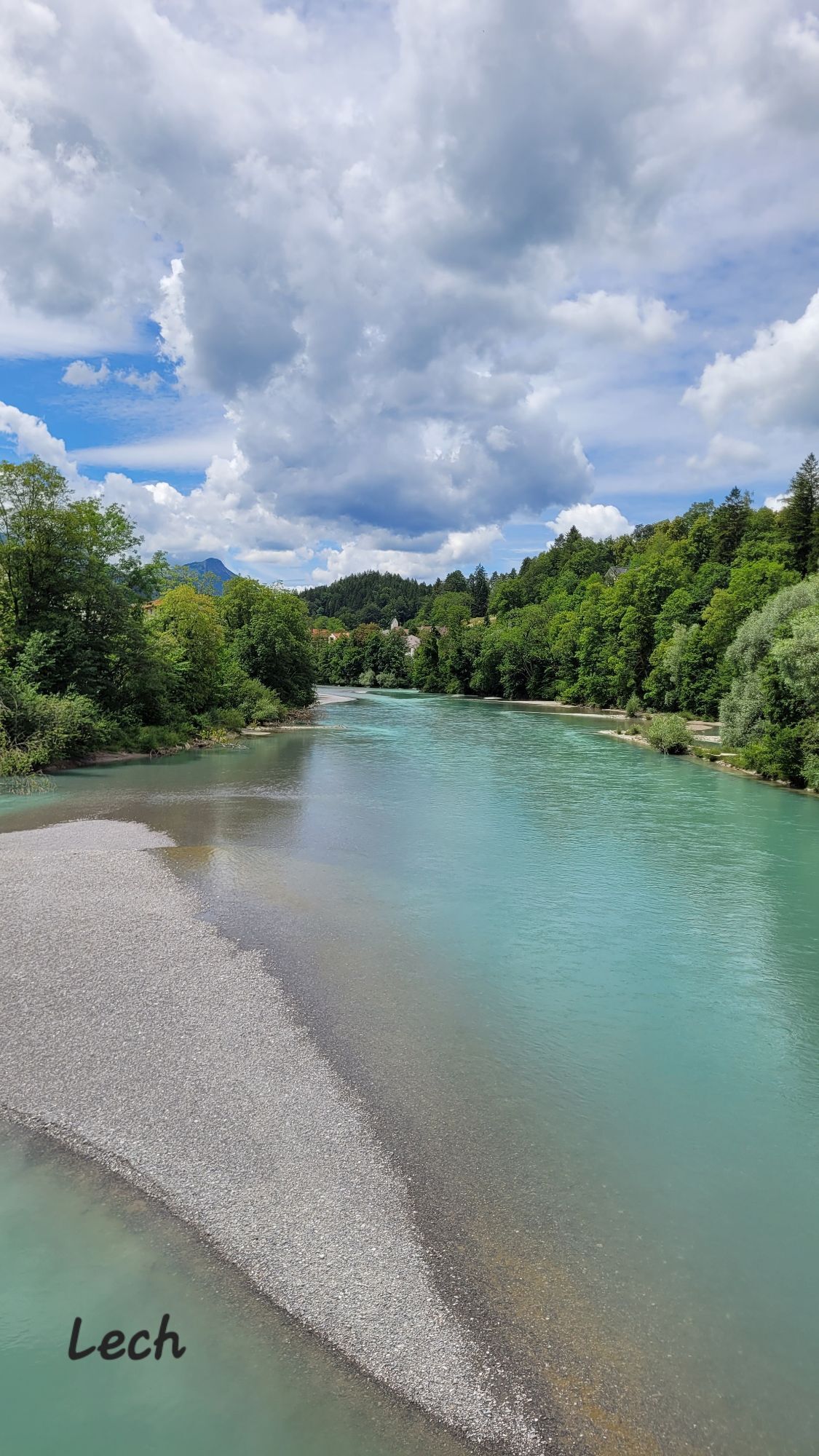
Now the route takes you leisurely along the Lech to the Lech footbridge. After crossing, continue cycling over Alterschrofen and past Bullachberg Castle back to the starting point.
We recommend: bicycle helmet, weather-appropriate clothing, drinks, first aid kit, and a repair kit.
Coming from the B17, drive to Schlossbrauhaus Schwangau, Gipsmühlweg 5, 87645 Schwangau
Train: Füssen station
Bus: stop "Schwangau - Gipsmühlweg"
Limited bike transport possible.
Free parking: Schlossbrauhaus/Tourist Information Schwangau, Gipsmühlweg 5, 87645 Schwangau
3
You can find bike rentals in Schwangau here.
You can find dining options here.


Webové kamery z prehliadky
-
Tegelbergbahn Bergstation
-
Skizentrum Steinach / Pfronten
-
Tegelberghaus
-
Pfronten-Halden / Hotel Zugspitzblick
-
Füssen - Wellness Hotel Sommer
-
Segelclub Füssen
-
Pfronten - Boutique Hotel Blaue Burg Falkenstein
-
Camping Hopfensee
-
Camping Hopfensee
-
Hopfen am See - Restaurant Fischerhütte
-
Nesselwang - Alpspitzbahn Mittelstation
-
Eisenberg - Burgruine
-
Schloss Hohenschwangau
-
Schloss Hohenschwangau
-
Ludwigs Festspielhaus Füssen
-
Seeg - Honigdorf
-
Nesselwang - Alpspitzbahn Sportheim Böck
-
Rieden am Forggensee - Salenberghof
-
Roßhaupten im Allgäu
-
Nesselwang - Alpspitzbahn Talstation
-
Forggensee
-
Füssen Appartementhotel Seespitz
-
Pfronten - Skizentrum
-
Hotel Hirsch
-
Schwangau - Schlossbrauhaus
-
Schwangau - Tegelbergbahn
-
Hopferau Burgruinen Hohenfrey- und Eisenberg
-
Tegelberg Landeplatz
-
Hopfen am See - Biohotel Eggensberger
-
Restaurant Schwaltenweiher - Seeg

Obľúbené výlety v okolí
-
4,9
Hiking tour to Breitenberg
ťažkéTuristika 15,6 km -
4,8
To the Bad Kissinger Hut via the Gräner Höhenweg
strednáTuristika 13,0 km -
4,7
Mountain hike to the Aggenstein
ťažkéTuristika 15,3 km -
4,7
Panorama route to the Ostlerhütte
strednáTuristika 5,11 km -
4,7
Forggensee round
strednáCyklistika 32,5 km -
4,6
Around Weißensee
svetloTuristika 6,12 km -
4,9
Gemeinde Grän, Tirol/Österreich Aggenstein Rundtour über Höhenweg
strednáTuristika 9,84 km -
4,0
Vana Reuter
strednáTuristika 9,03 km -
4,9
Circular hike to the Edelsberghütte (formerly Gundhütte)
strednáTuristika 7,04 km -
4,9
Pirschling - Schönkahler
strednáTuristika 9,85 km
Turistika a stopovanie


Nenechajte si ujsť ponuky a inšpiráciu na ďalšiu dovolenku
Vaša e-mailová adresa bol pridaný do poštového zoznamu.





