







"Schönkahler" environmentally friendly snowshoe route
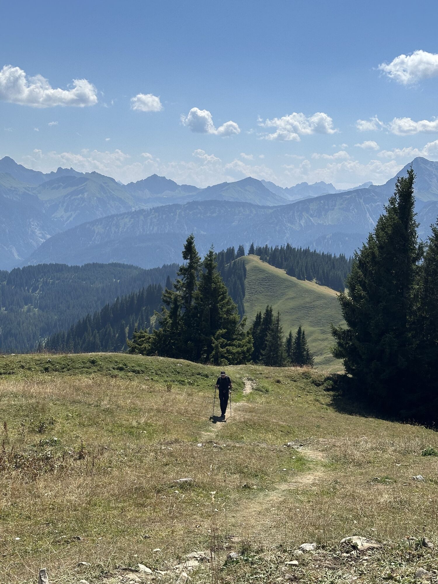
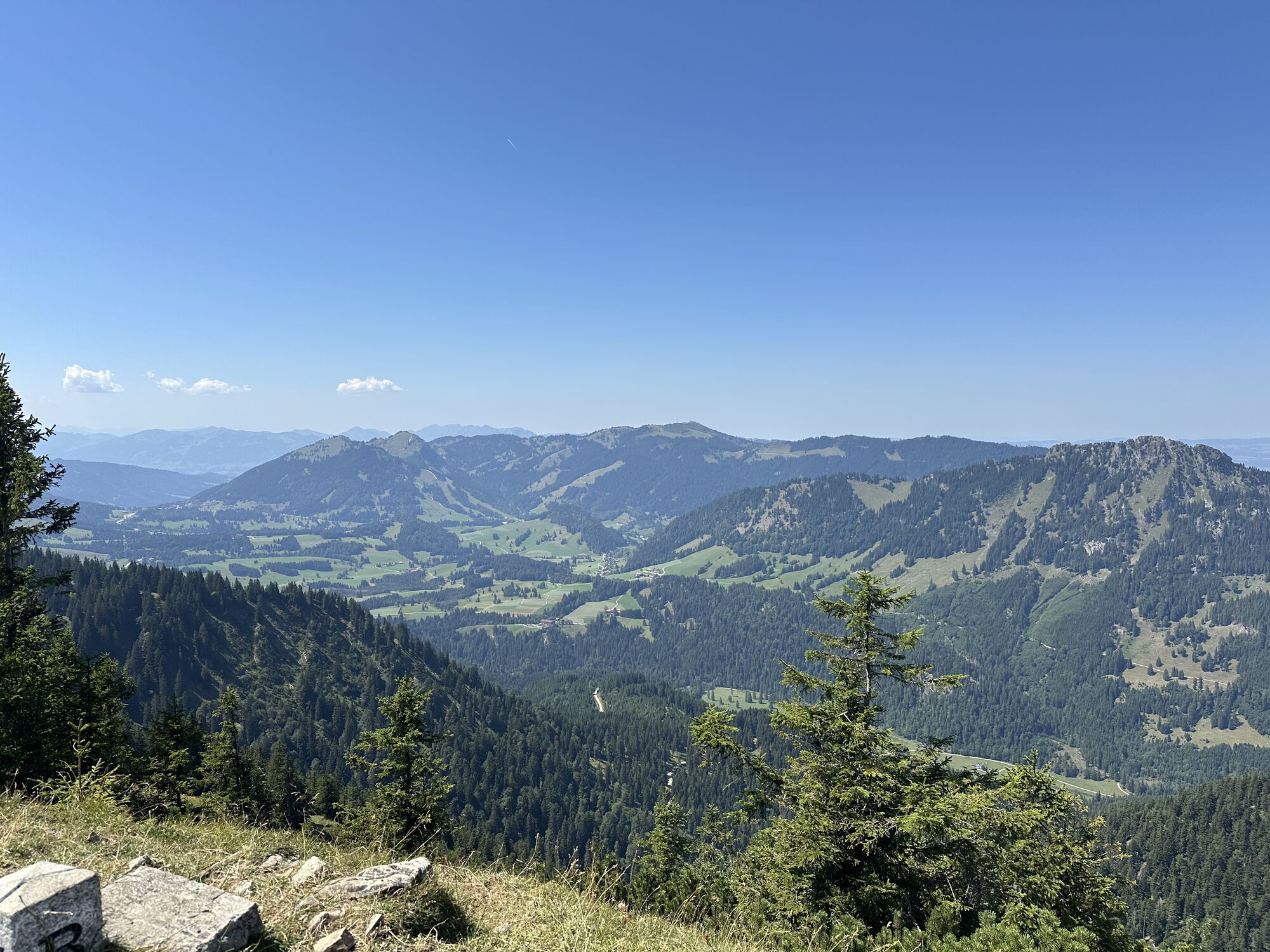
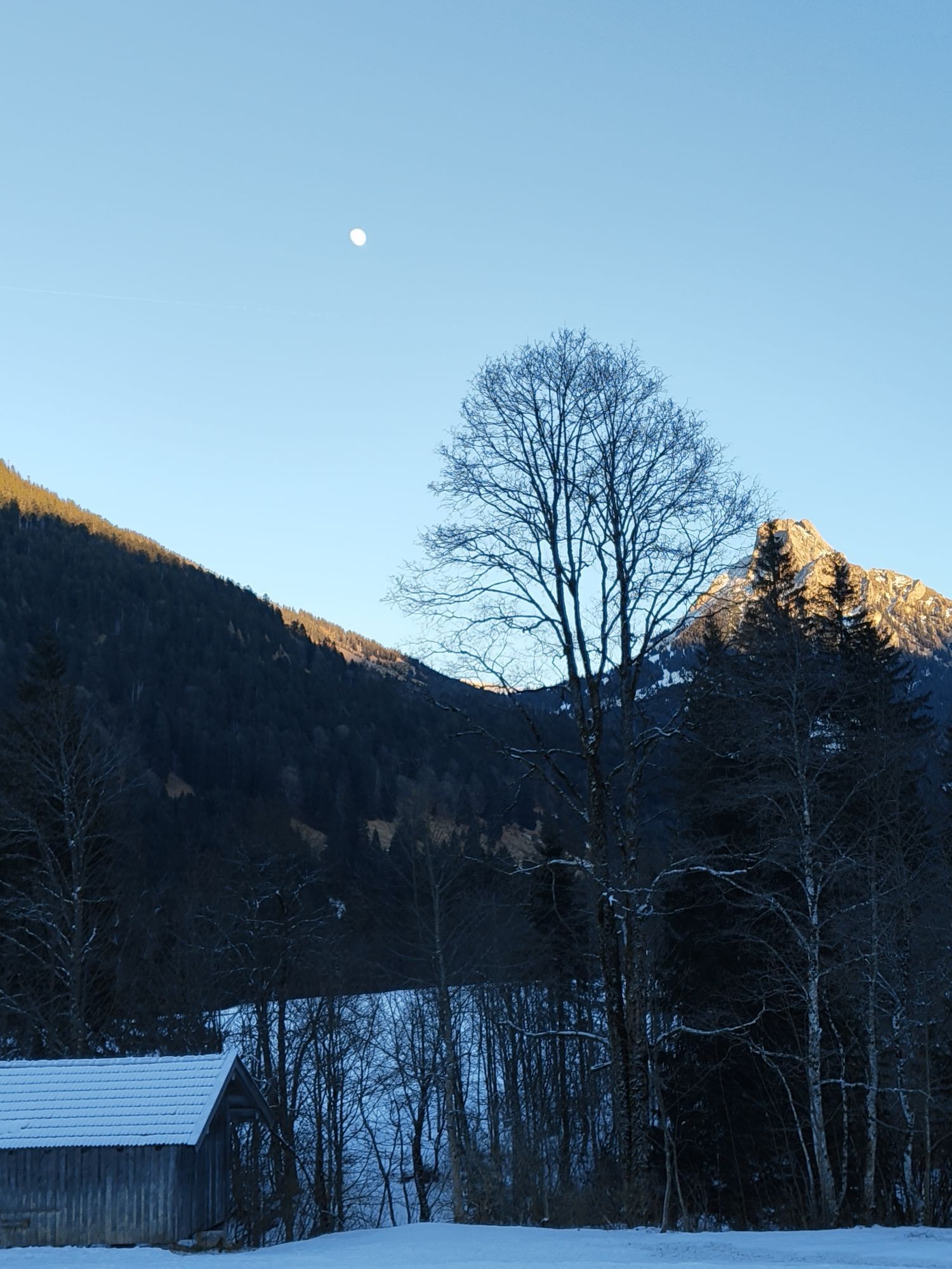

You start at the parking lot in Achtal, which is located on the way to the Tannheimer Valley. From there the entire route is very well signposted. It is a relatively easy route without steep sections.

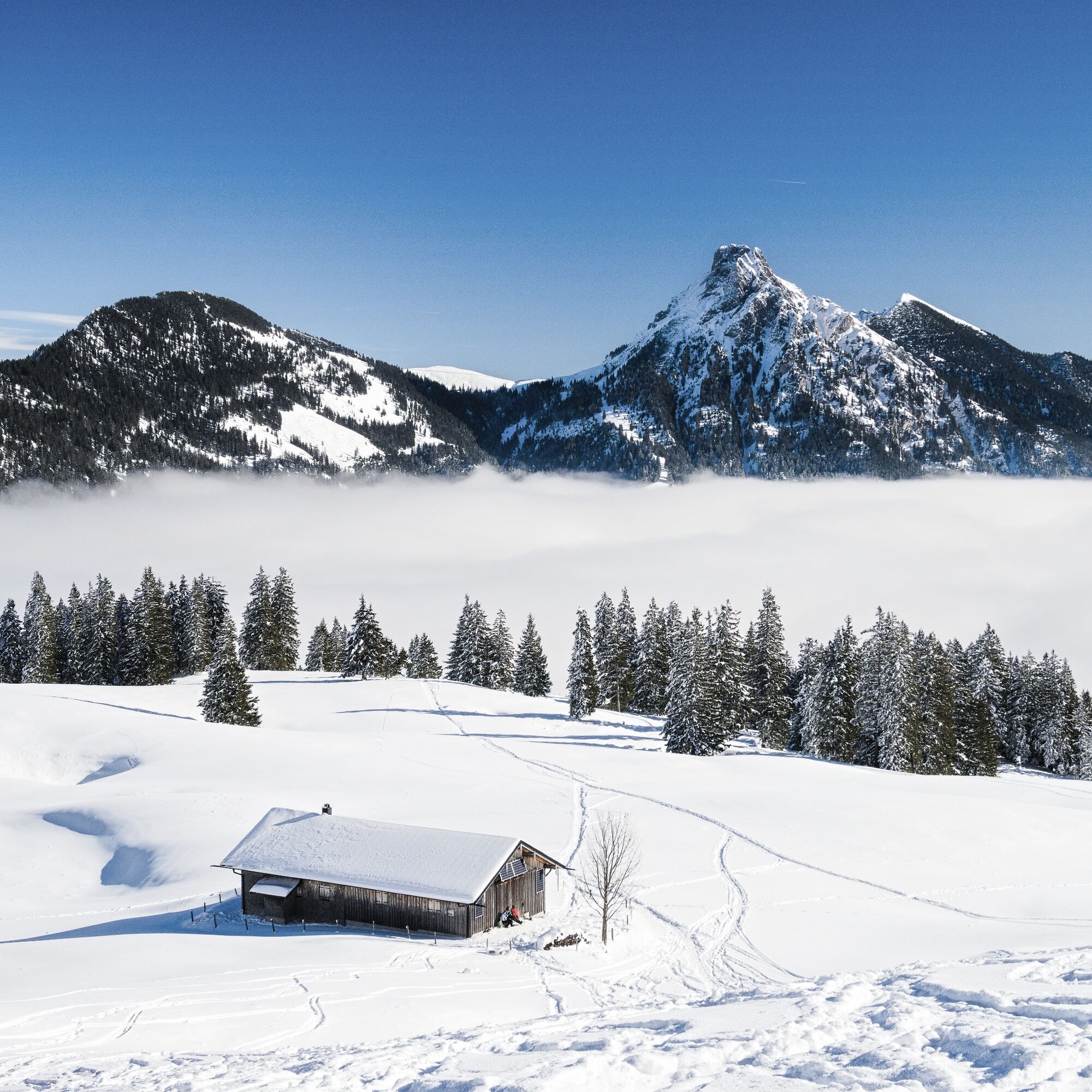
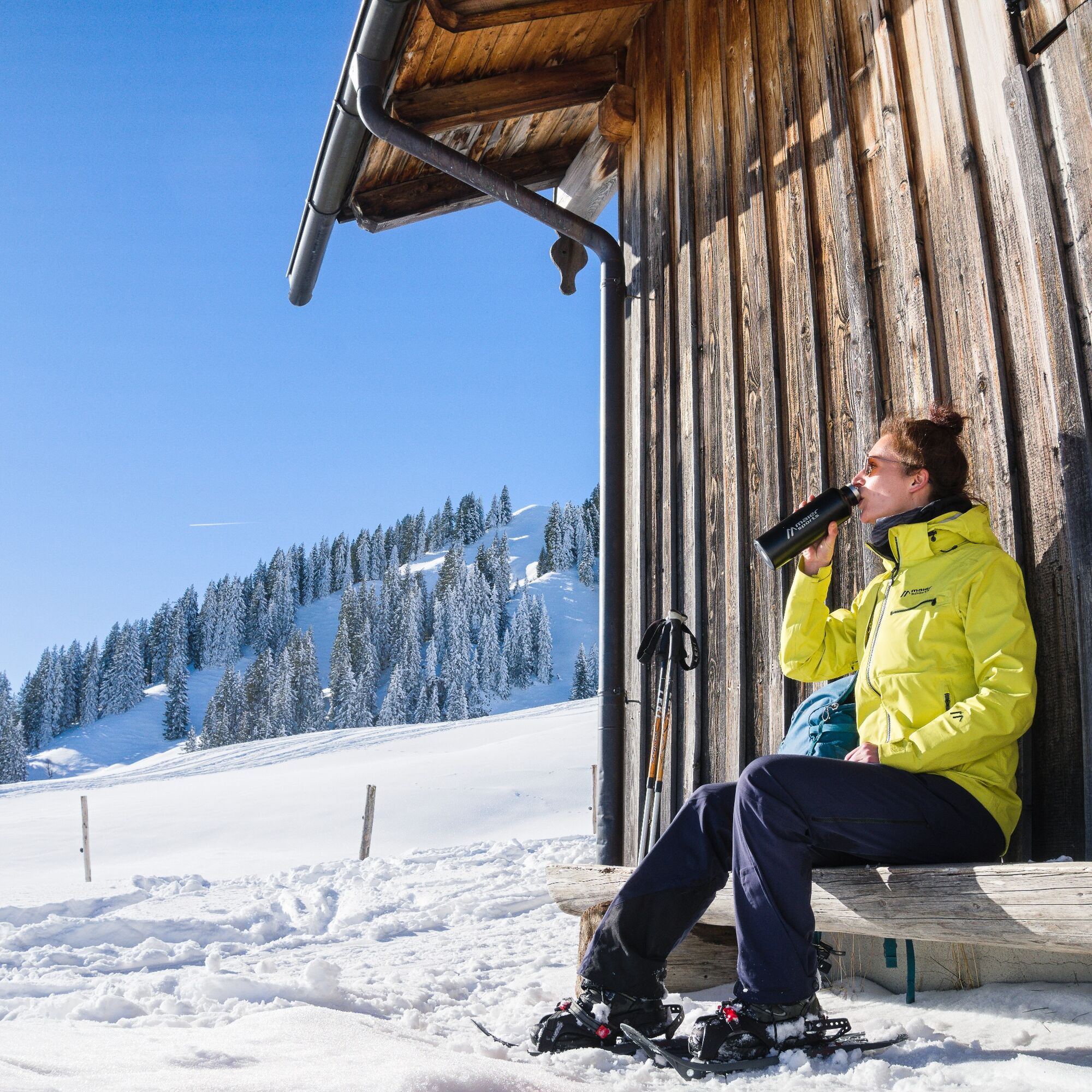
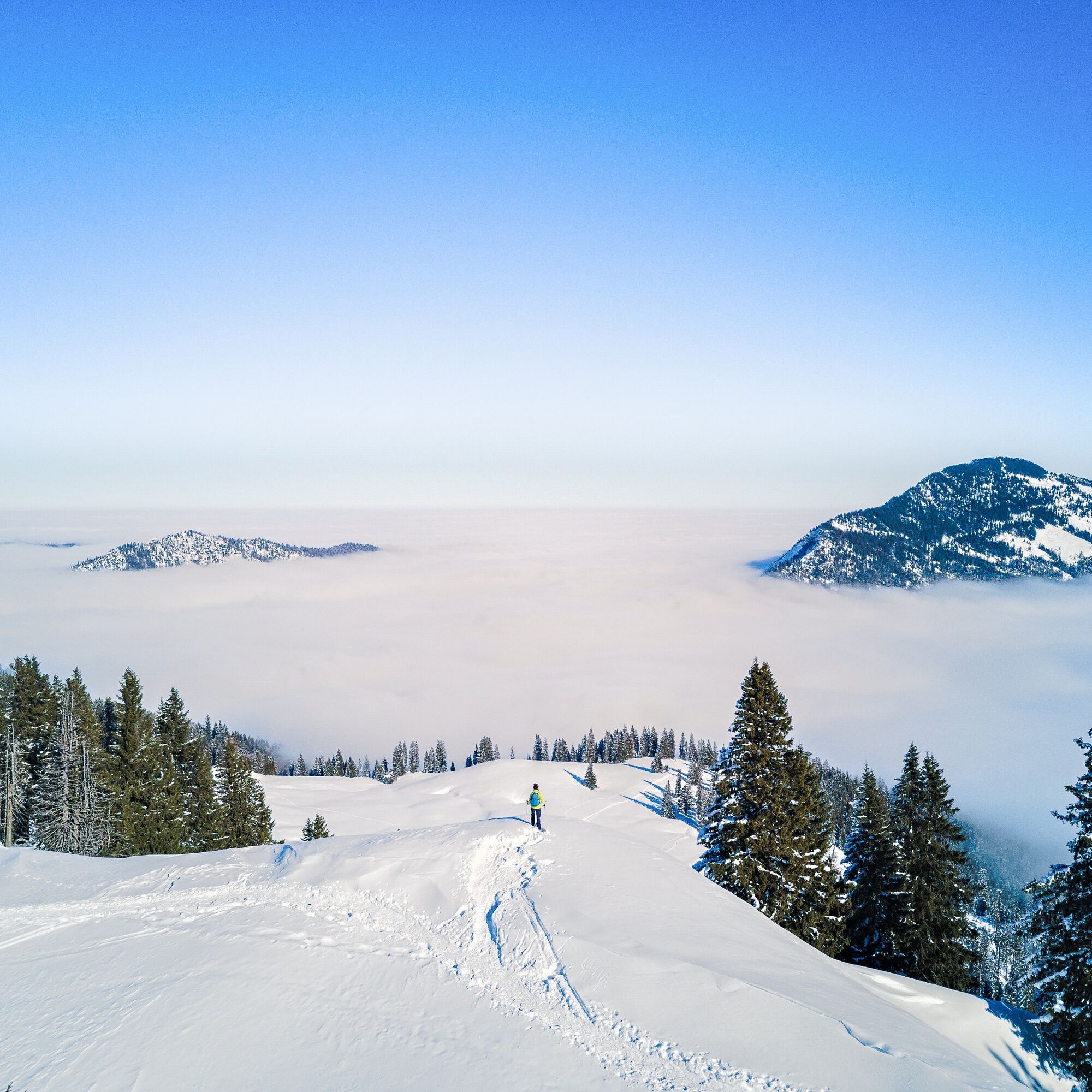
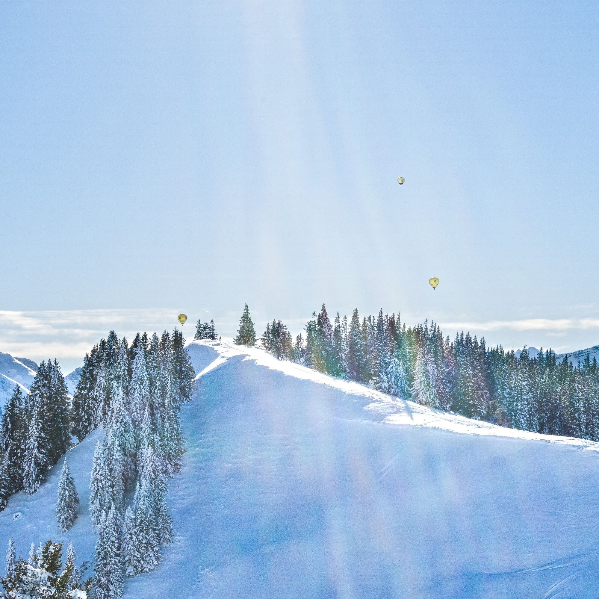

Essentially, the ascent route follows the summer path. First west over the bridge of the Kotbach stream to the forest edge. Then the path turns left/south. From a small hut, you reach a new wide path that leads through windthrow areas to the open high hollow near an alpine hut. Continue west to the slightly pronounced saddle between Pirschling (left) and Schönkahler (right). Over the broad ridge northwards to the summit. Descent as ascent.
Áno
Tour equipment with avalanche transceiver, shovel and probe, mobile phone, possibly crampons
Pay attention to the avalanche report!
You can find the current avalanche report at www.alpenverein.de/DAV-Services/Lawinen-Lage/
Please note: the route is not signposted! Recommended only for experienced snowshoe hikers.
Parking available on the right side, about 1 km before the state border
The route is published by the German Alpine Club. The use of the information is at your own risk.
www.alpenverein.de
 Získajte prehľad
Vždy naživo na mieste s viac ako 9 500 webovými kamerami. bergfex Ako používateľ Pro si teraz môžete pozrieť príslušné webové kamery pre mnohé zájazdy v aplikácii zájazdy z. Môžete si tak priamo prezerať aktuálne podmienky.
Získajte prehľad
Vždy naživo na mieste s viac ako 9 500 webovými kamerami. bergfex Ako používateľ Pro si teraz môžete pozrieť príslušné webové kamery pre mnohé zájazdy v aplikácii zájazdy z. Môžete si tak priamo prezerať aktuálne podmienky.
Aktivity počas prehliadky
-

Tannheim, Tirol/Österreich
27.08.2026 – Turistika -
Pfronten, Bayern/Deutschland
17.01.2026 – Turistika -
Pfronten, Bayern/Deutschland
17.01.2026 – Turistika -
Pfronten, Bayern/Deutschland
06.12.2025 – Turistika -

Tannheim, Tirol/Österreich
18.09.2025 – Horská turistika -
Tannheim, Tirol/Österreich
06.09.2025 – Turistika -

19.01.25 Schönkahler
19.01.2025 – Snežnice -
Schönkahler
12.01.2025 – Turistika
Obľúbené výlety v okolí
-
4,9
Hiking tour to Breitenberg
ťažkéTuristika 15,6 km -
4,6
Around Weißensee
svetloTuristika 6,12 km -
4,9
Gemeinde Grän, Tirol/Österreich Aggenstein Rundtour über Höhenweg
strednáTuristika 9,84 km -
4,8
K chate Bad Kissinger po horskej ceste Gräner Höhenweg
strednáTuristika 13,0 km -
4,8
Tannheim / Vilsalpsee / Landsberger Hütte
strednáTuristika 15,7 km -
3,9
Klassikertour: Auf den Grünten
ťažkéTuristika 8,50 km -
4,7
Mountain hike to the Aggenstein
ťažkéTuristika 15,3 km -
4,7
Panorama route to the Ostlerhütte
strednáTuristika 5,11 km -
4,8
Iseler und Kühgundkopf
strednáTuristika 7,63 km -
4,3
Trasa okolo troch jazier (ocenená tirolskou pešou turistickou pečaťou kvality)
strednáTuristika 14,8 km
Turistika a stopovanie


Nenechajte si ujsť ponuky a inšpiráciu na ďalšiu dovolenku
Vaša e-mailová adresa bol pridaný do poštového zoznamu.





