







Ski route to Ostlerhütte via Jägerhütte

Úroveň náročnosti: AD
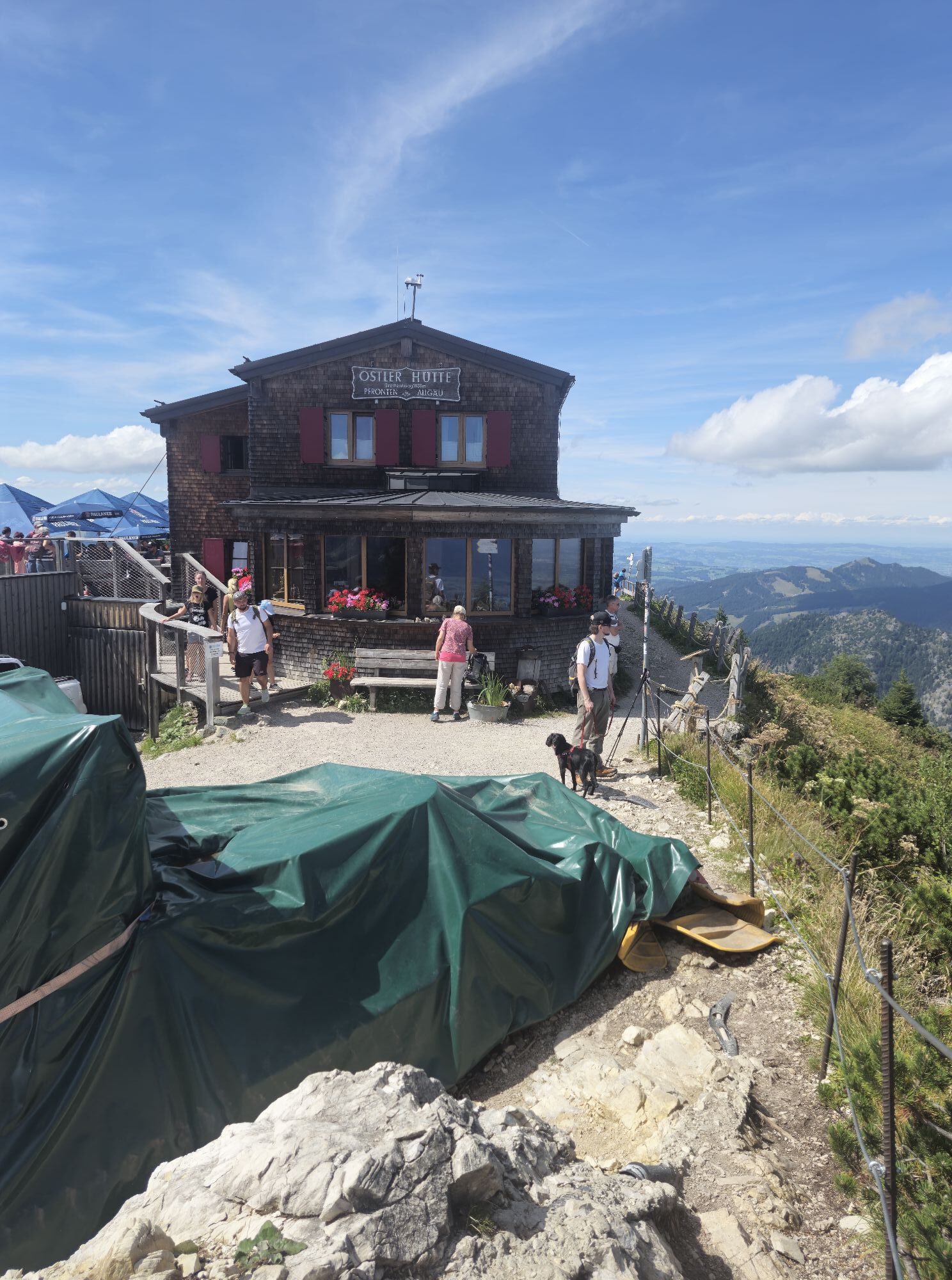
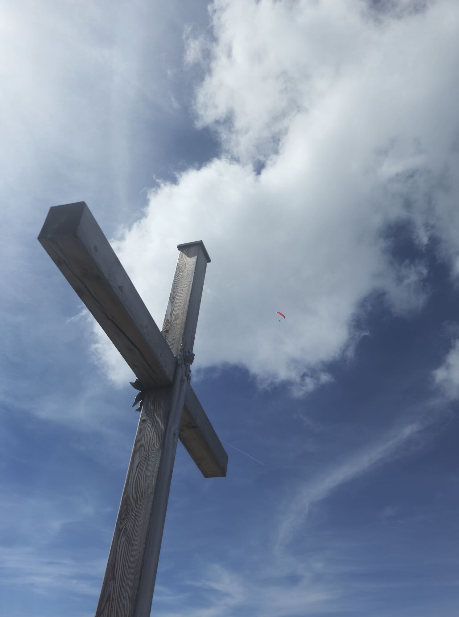
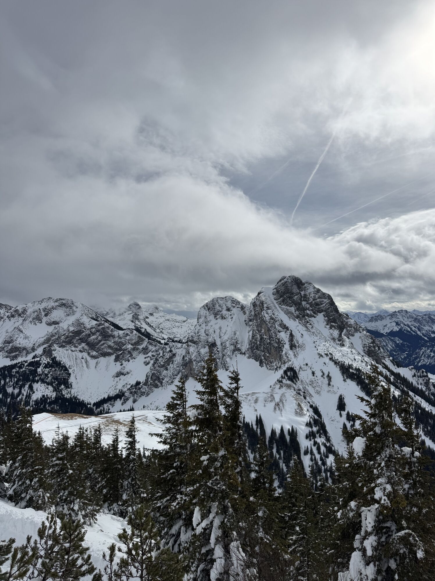
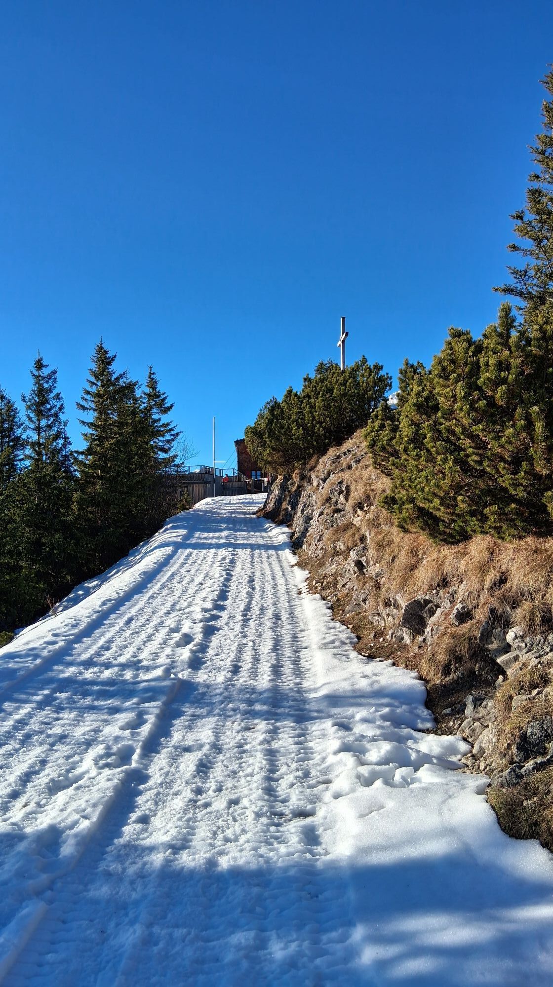
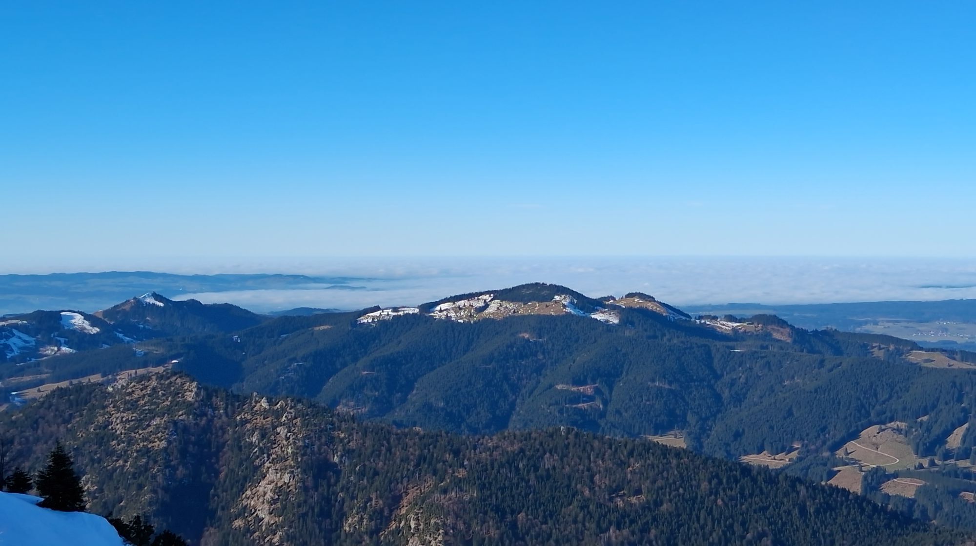


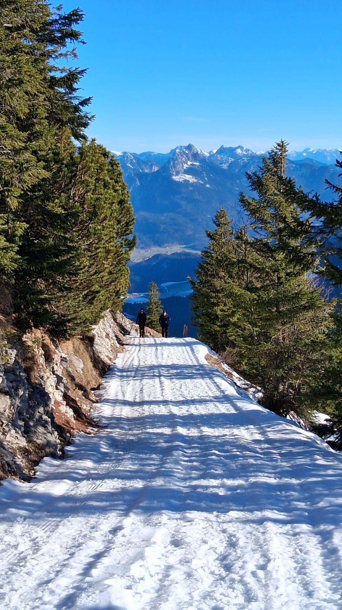
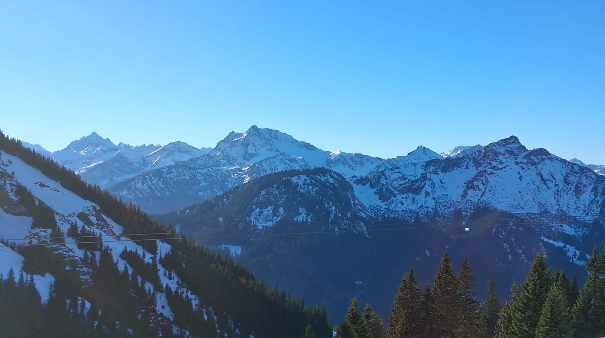
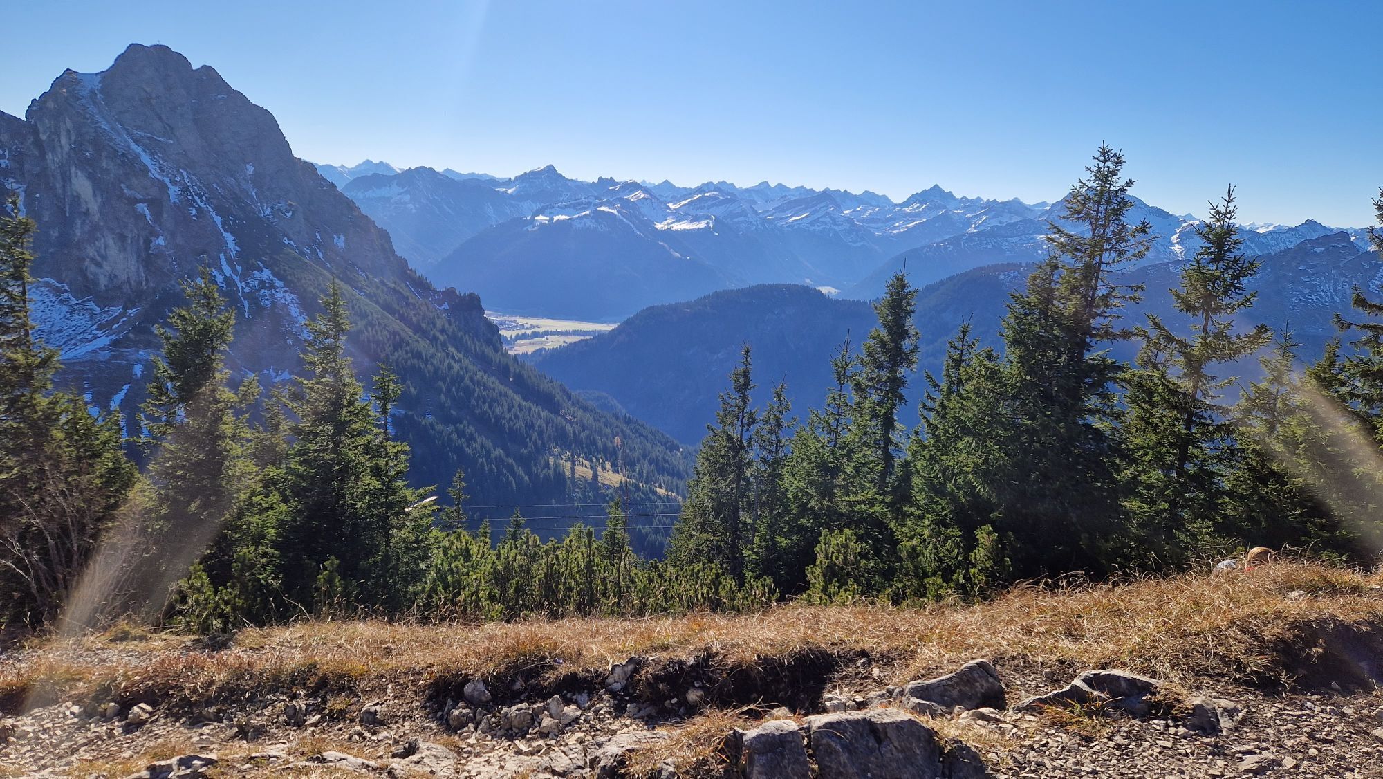
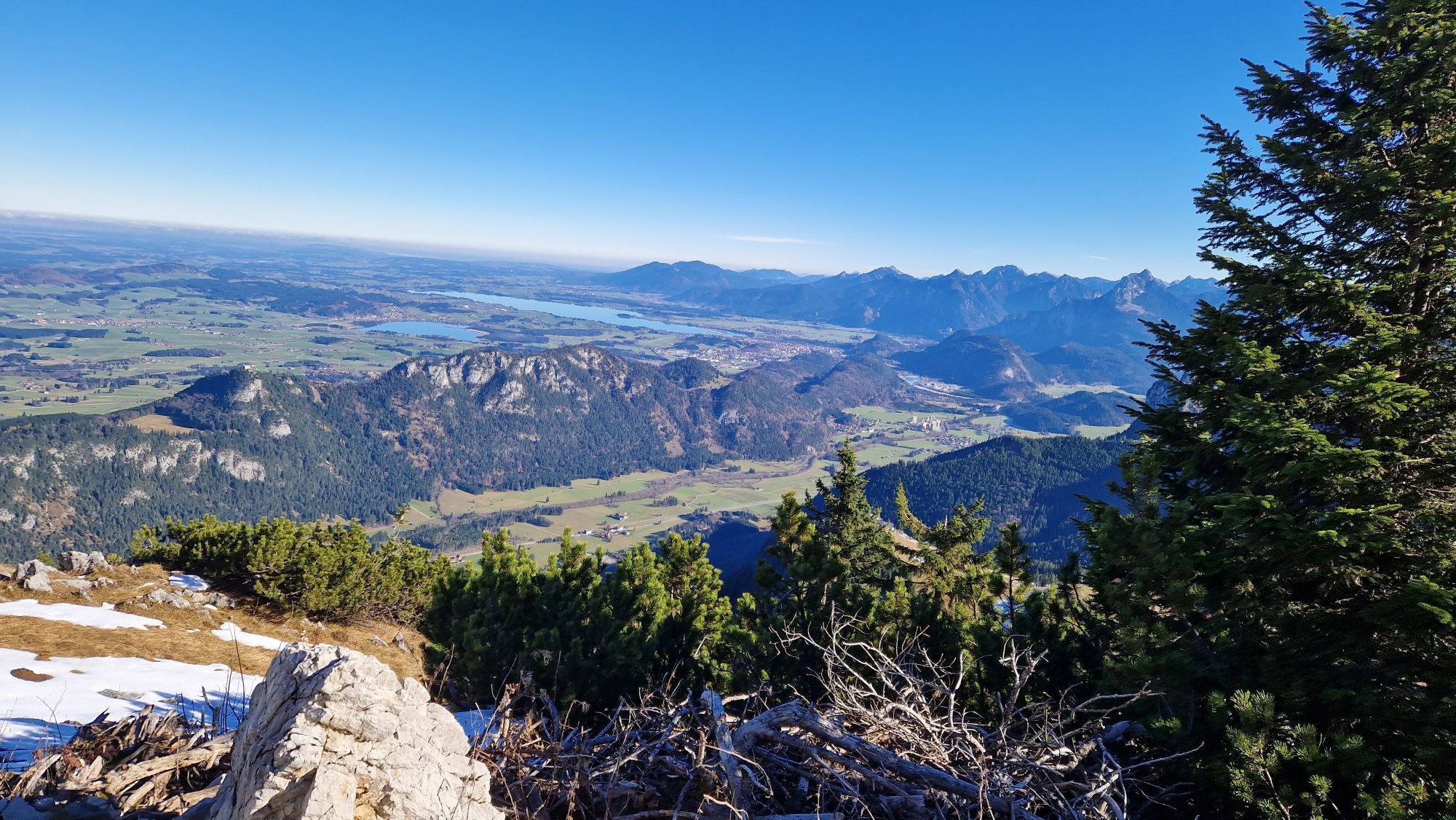
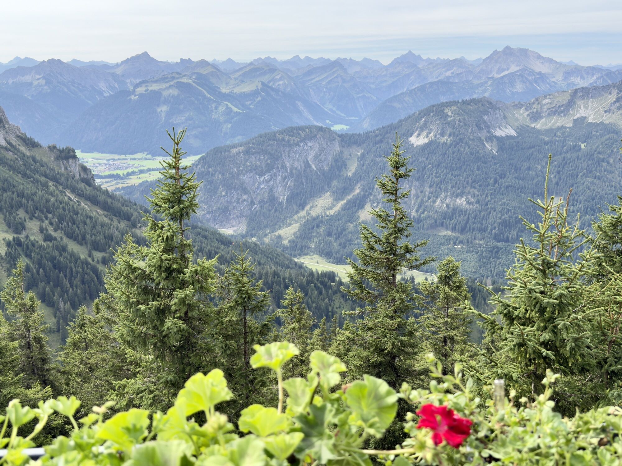
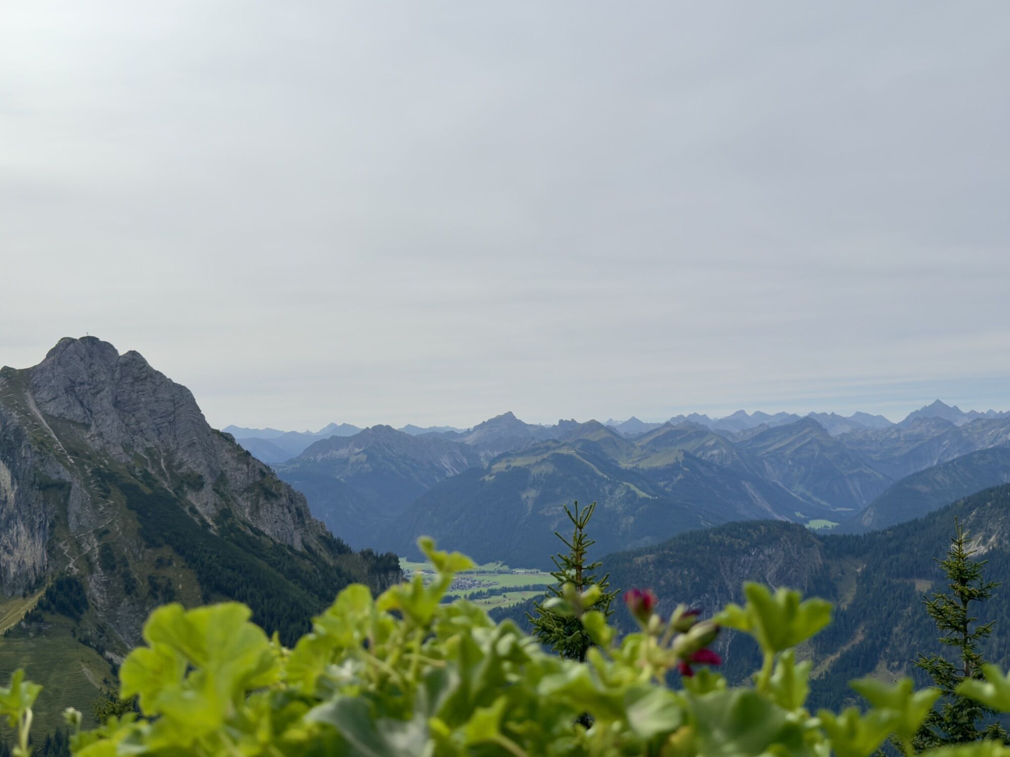
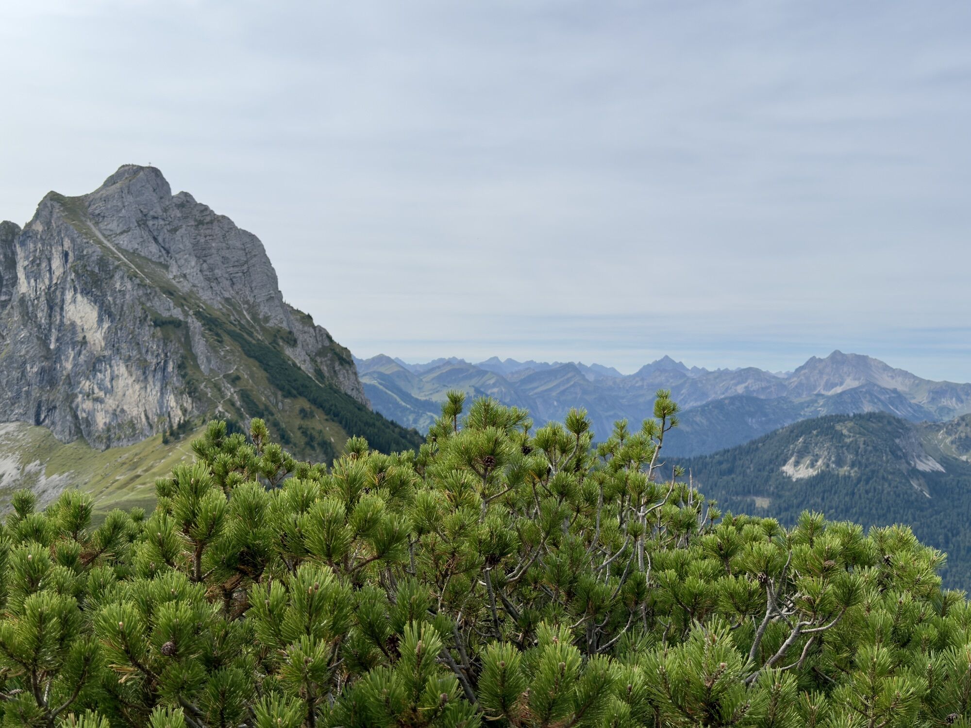
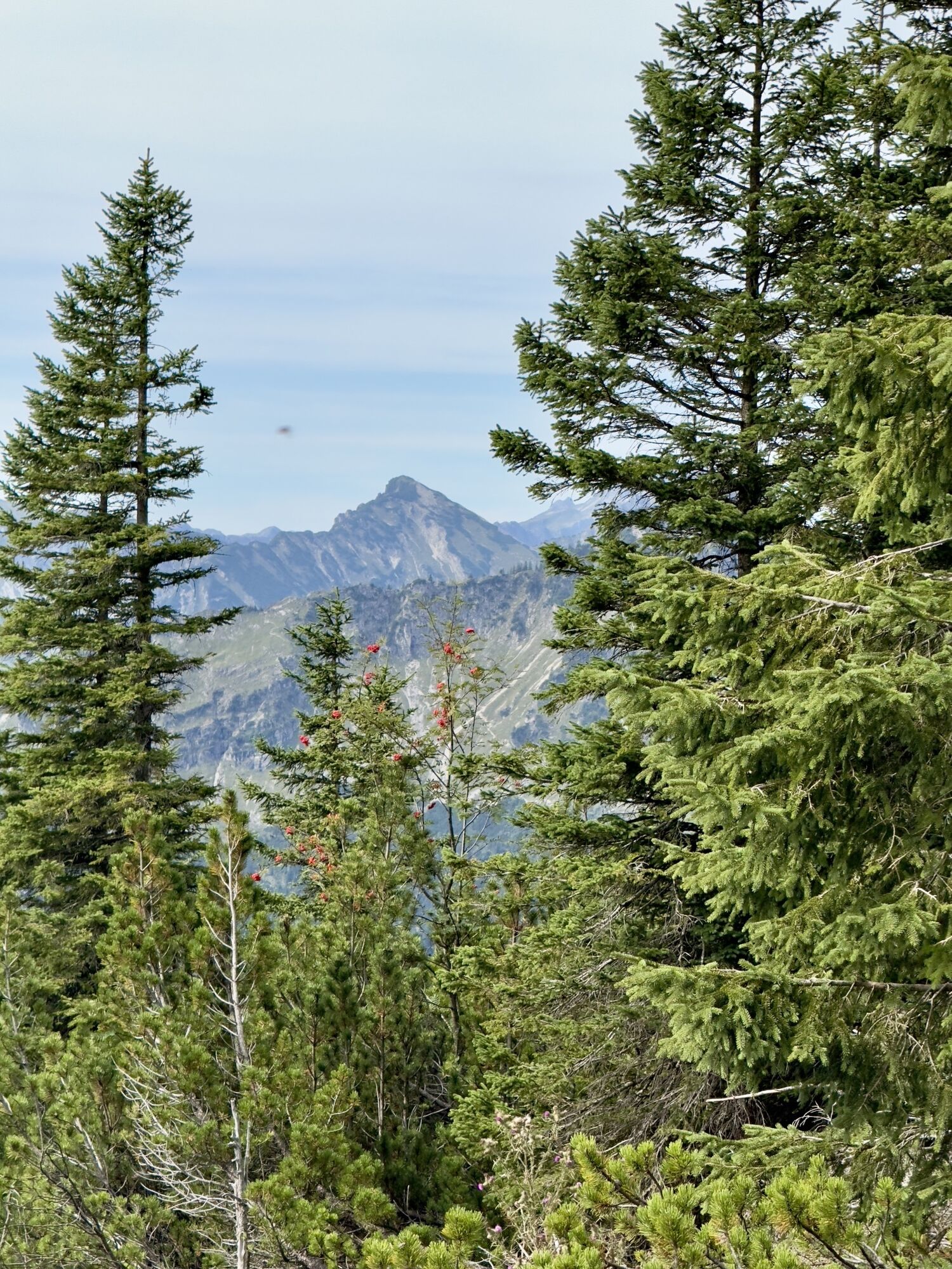
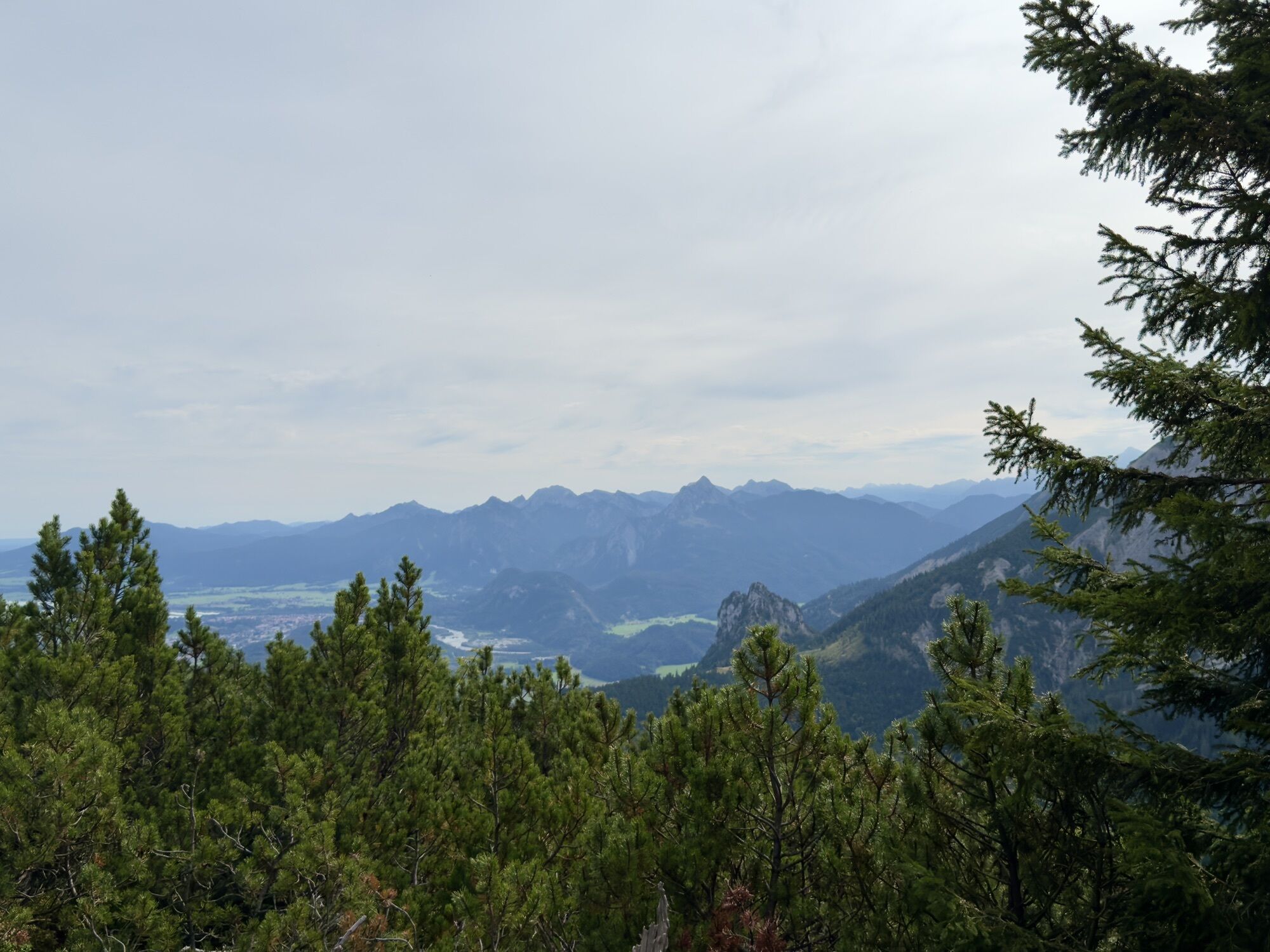
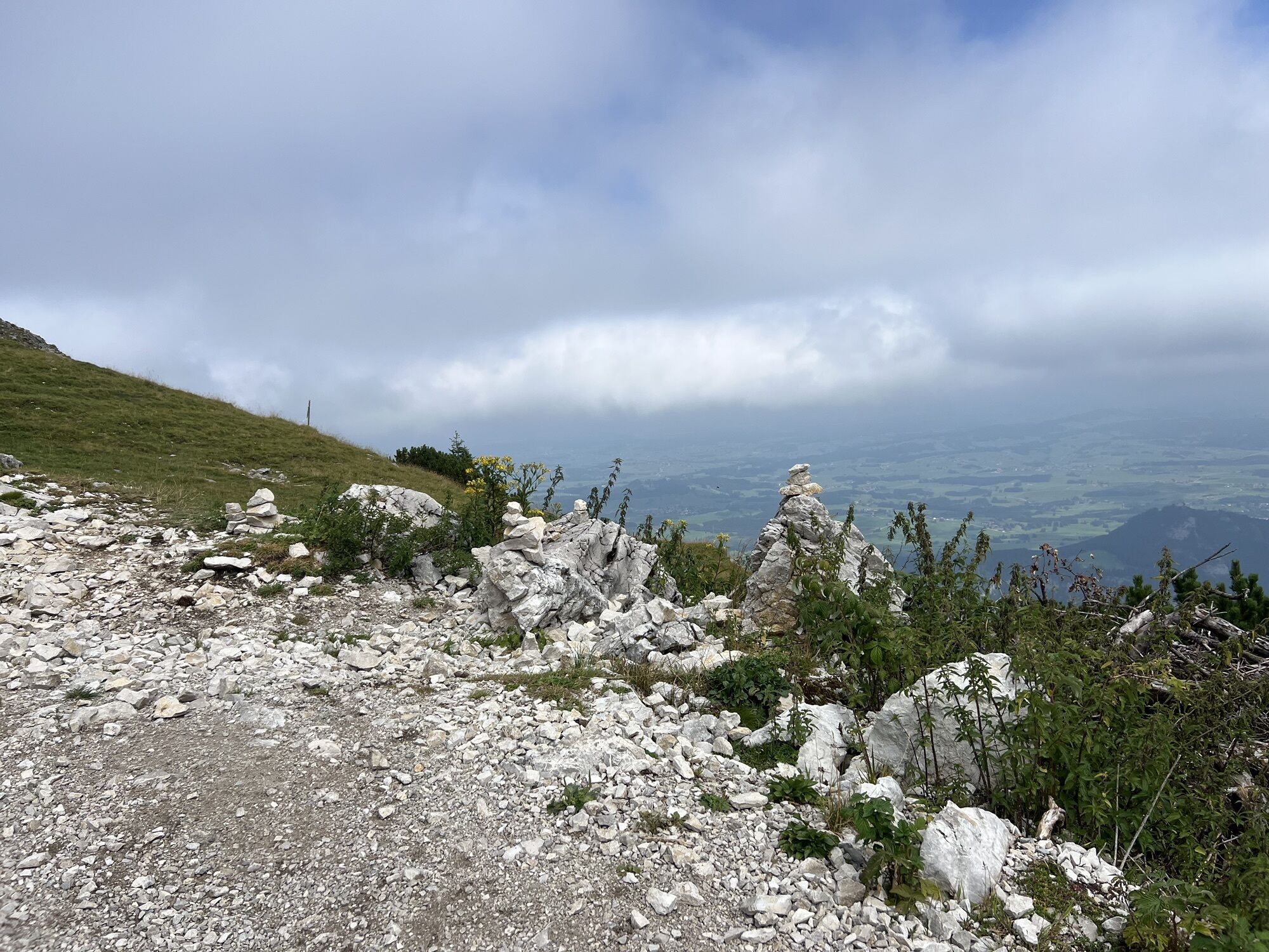
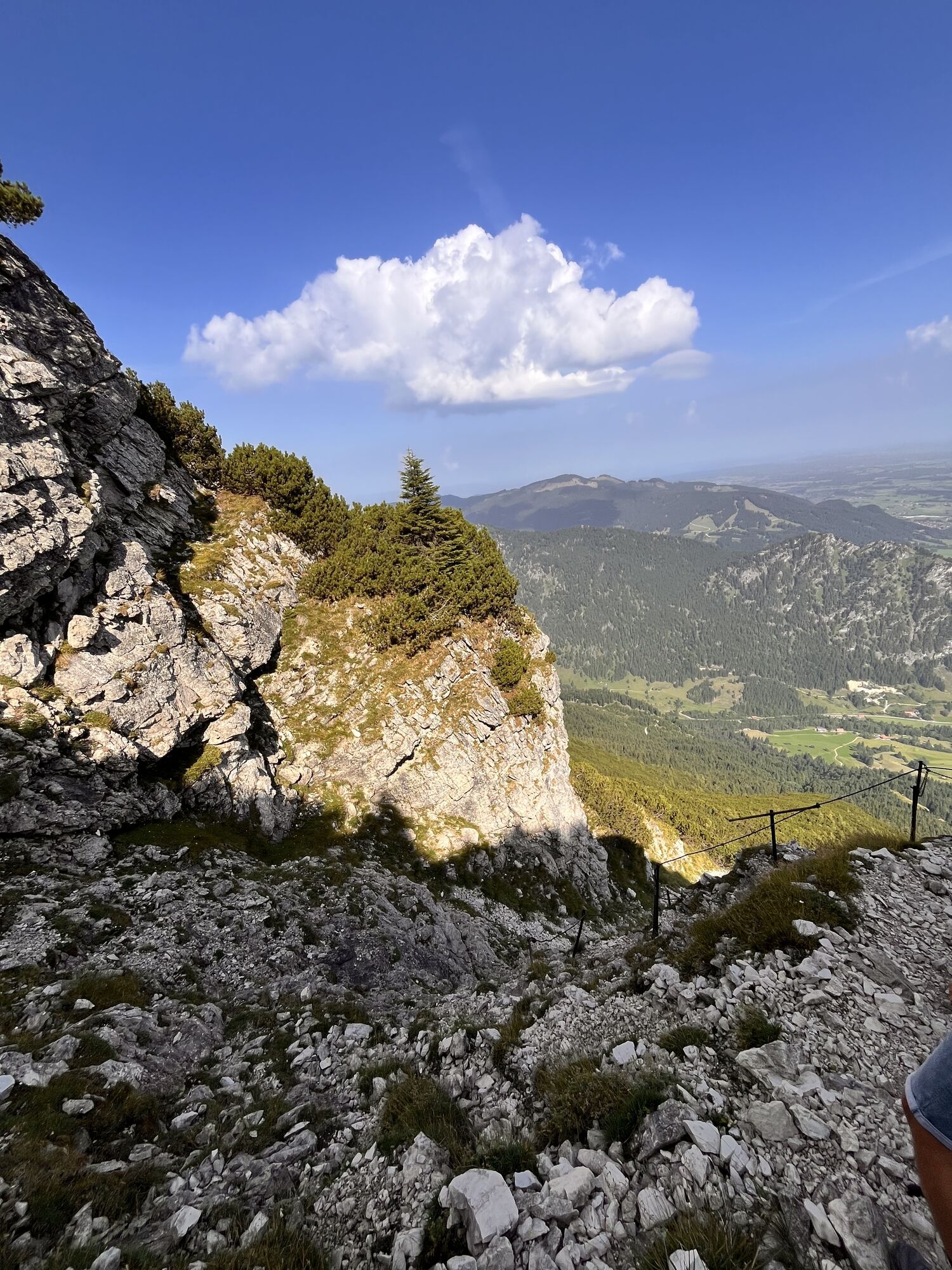
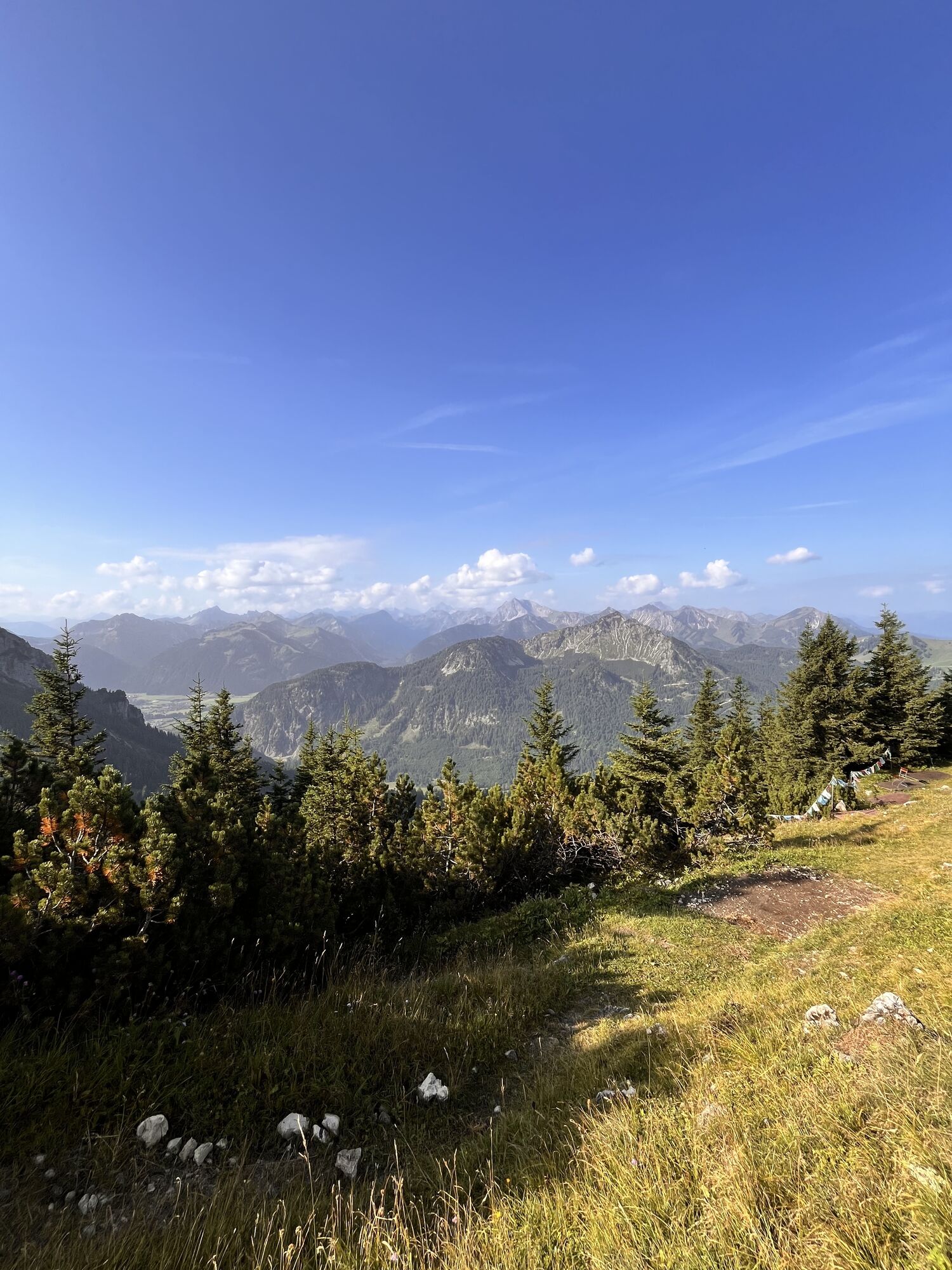
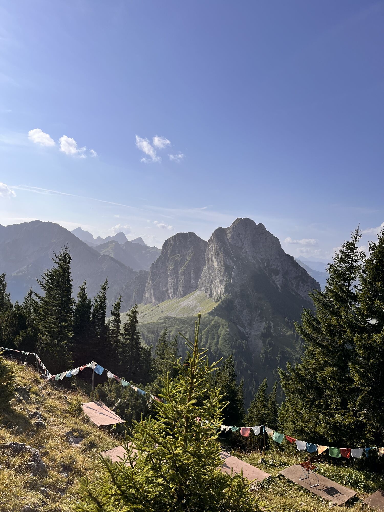
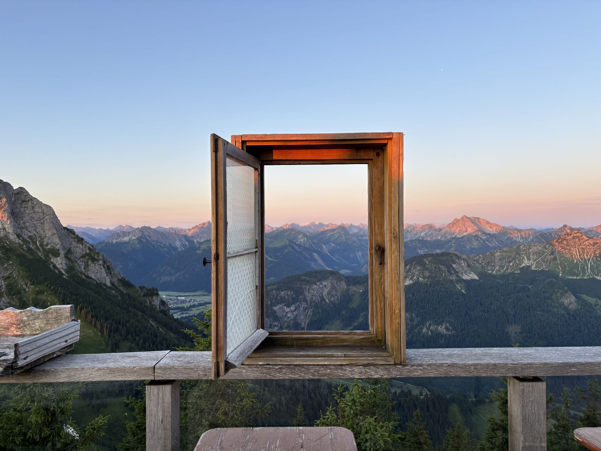

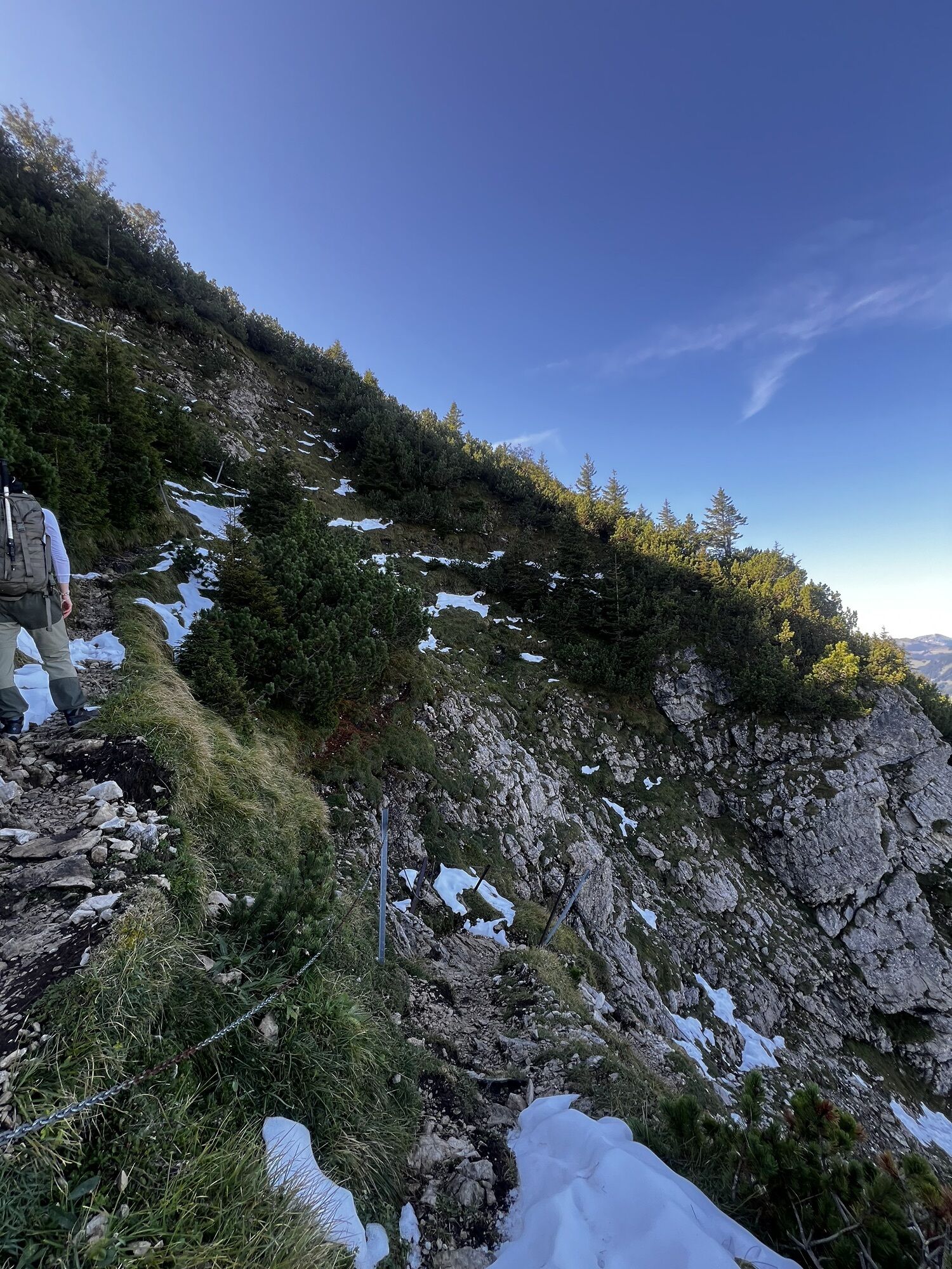
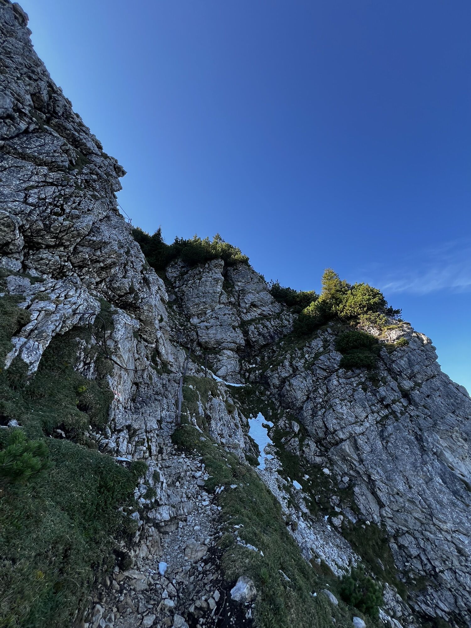
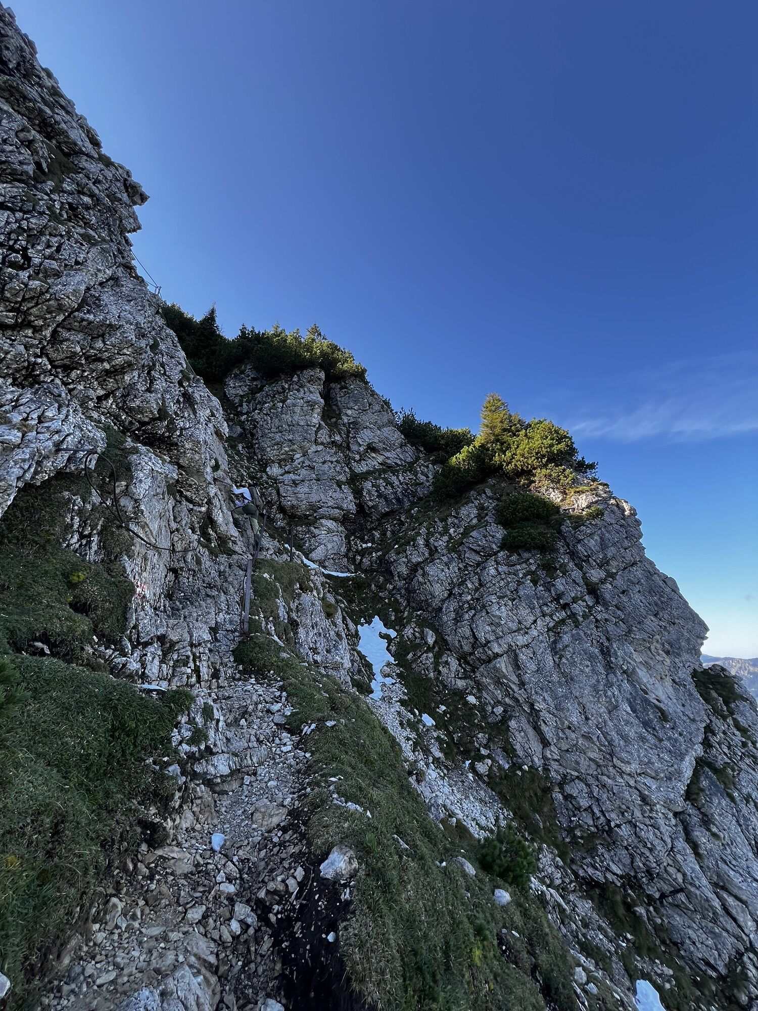
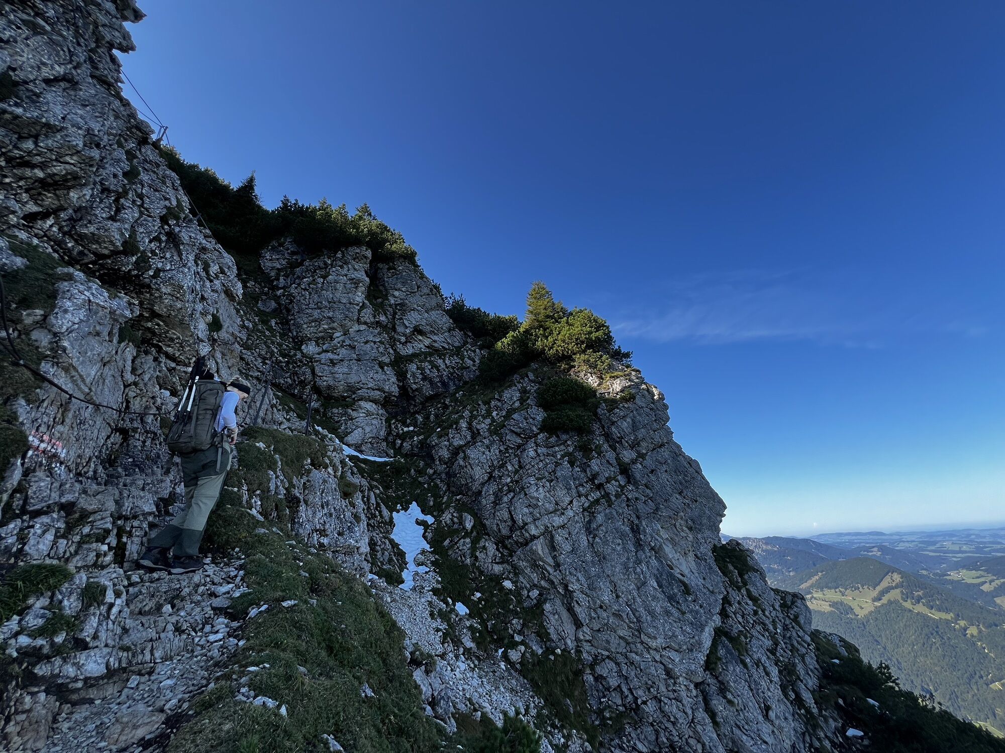
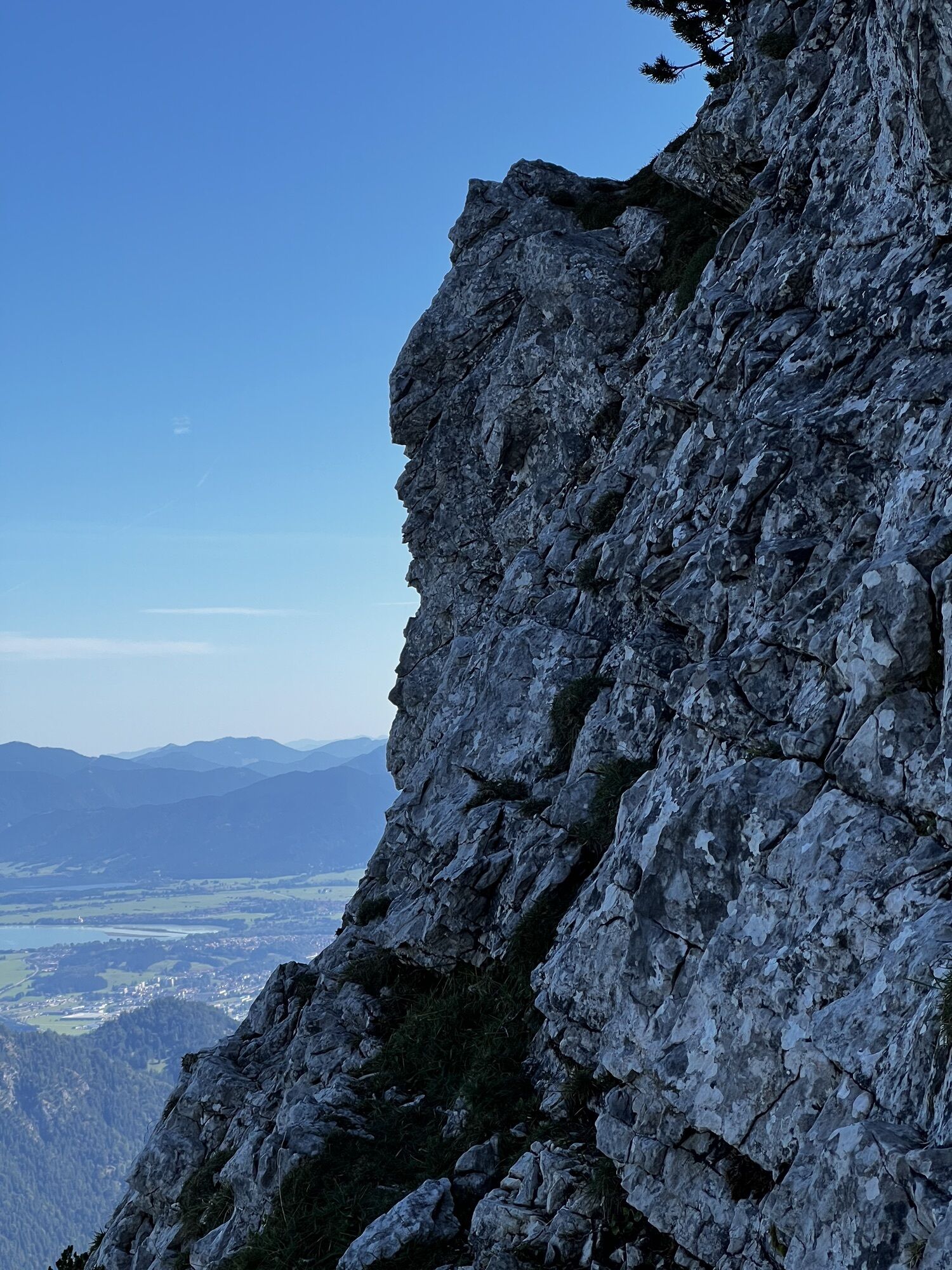
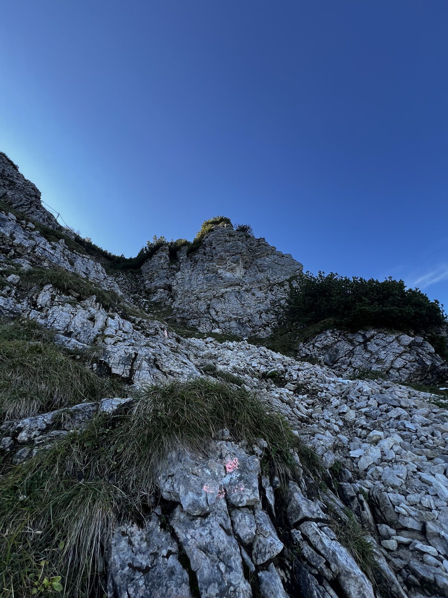
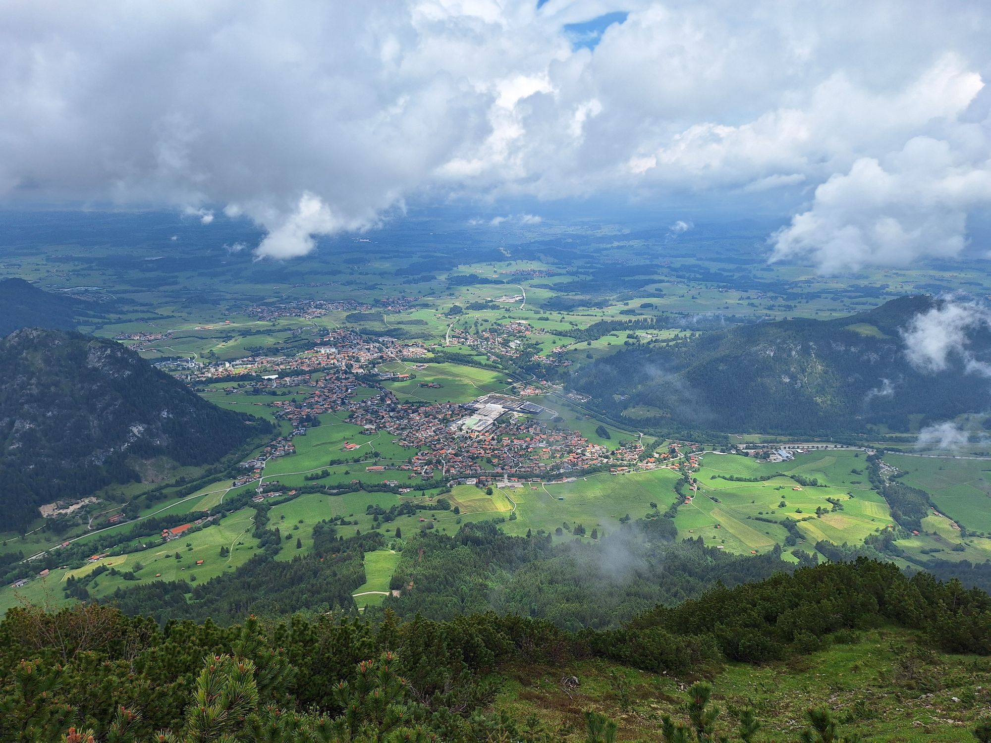
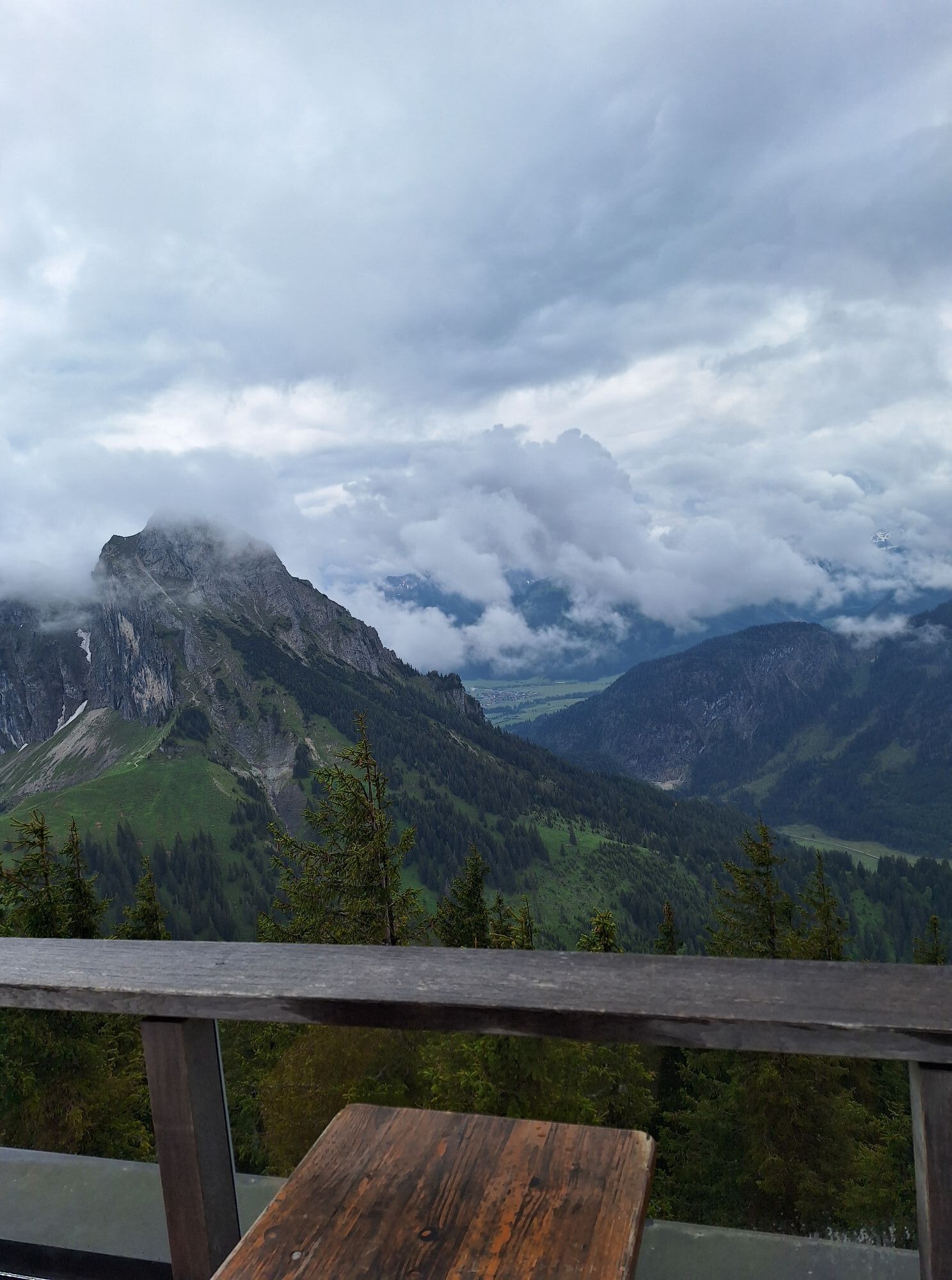
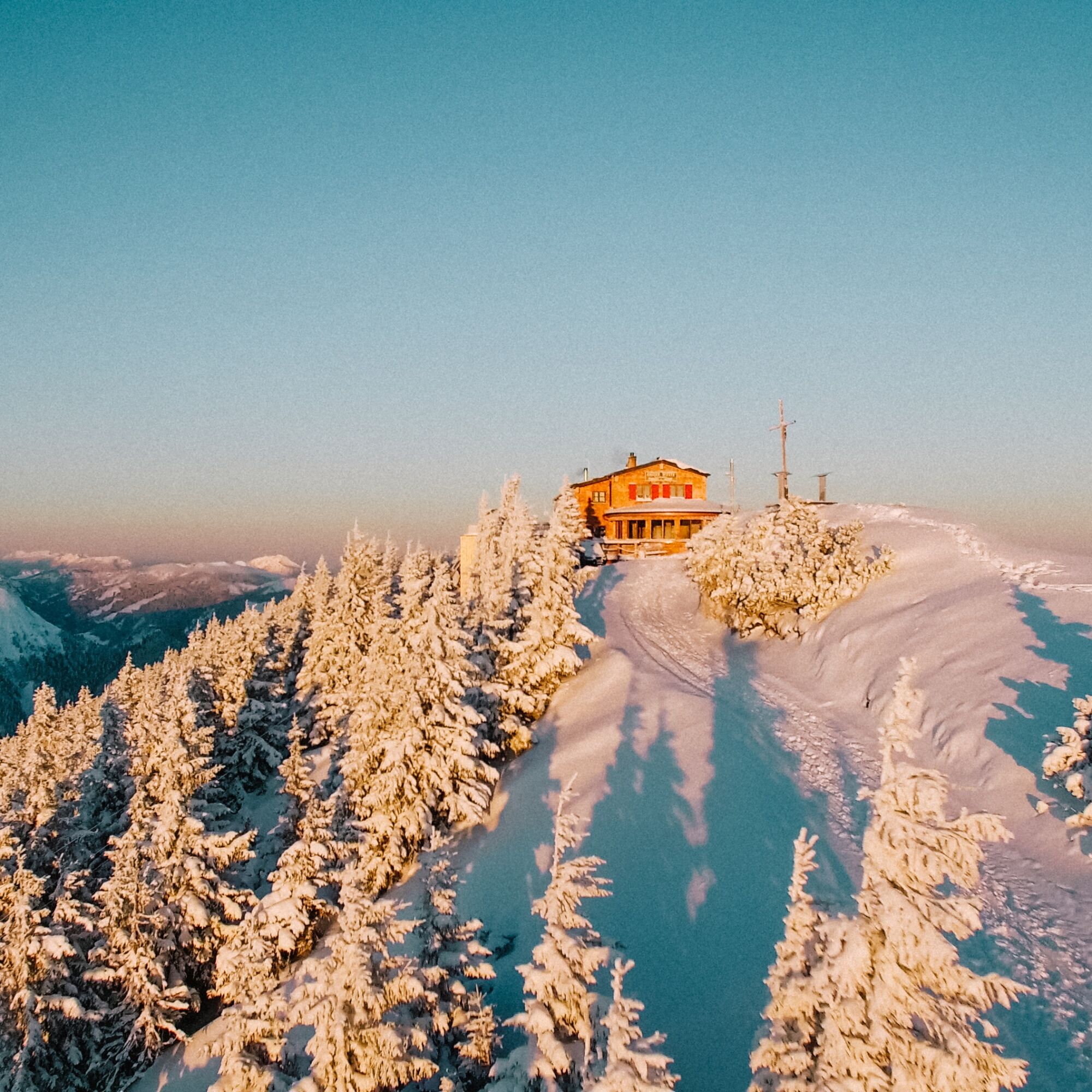
This ski route starts in the picturesque Achtal and leads up to the summit of Breitenberg. The route offers an ideal combination of sporting challenge and close-to-nature winter enjoyment.
The first section...
This ski route starts in the picturesque Achtal and leads up to the summit of Breitenberg. The route offers an ideal combination of sporting challenge and close-to-nature winter enjoyment.
The first section of the route follows the Ostlerforstweg. Here you may encounter sledders – please be considerate of each other! After about 1.4 kilometers, the ski route branches off from the forest road and winds along quieter, snow-covered paths.
The route passes the Jägerhütte (not run as a business) through the mountain forest on the slopes of Breitenberg. In the last section, the route leaves the forest and again follows the sled run path on Breitenberg for a few meters. The final part of the route to the Ostlerhütte at the summit mostly runs over terrain that repeatedly offers great views of the foothills and the surrounding summit world. Once at the Breitenberg summit, the Ostlerhütte invites you to enjoy a well-deserved stop for refreshments.
Notes:


A parking lot is available at the starting point.
AD
Webové kamery z prehliadky
-
Tannheim
-
Skizentrum Steinach / Pfronten
-
Pfronten-Halden / Hotel Zugspitzblick
-
Pfronten - Boutique Hotel Blaue Burg Falkenstein
-
Pfronten - Ostlerhütte
-
Grän - Hotel Bergblick
-
Füssener Jöchle Bergstation
-
Obere Halde
-
Tannheimertal
-
Breitenbergbahn - Pfronten
-
Pfronten - Skizentrum
-
Talstation Neunerköpfle - Tannheim
Získajte prehľad
Vždy naživo na mieste s viac ako 9 500 webovými kamerami. bergfex Ako používateľ Pro si teraz môžete pozrieť príslušné webové kamery pre mnohé zájazdy v aplikácii zájazdy z. Môžete si tak priamo prezerať aktuálne podmienky.
Obľúbené výlety v okolí
-
4,9
Hiking tour to Breitenberg
ťažkéTuristika 15,6 km -
4,7
Mountain hike to the Aggenstein
ťažkéTuristika 15,3 km -
4,6
Around Weißensee
svetloTuristika 6,12 km -
4,9
Gemeinde Grän, Tirol/Österreich Aggenstein Rundtour über Höhenweg
strednáTuristika 9,84 km -
4,8
To the Bad Kissinger Hut via the Gräner Höhenweg
strednáTuristika 13,0 km -
4,8
Tannheim / Vilsalpsee / Landsberger Hütte
strednáTuristika 15,7 km -
4,8
Iseler und Kühgundkopf
strednáTuristika 7,63 km -
4,7
Panorama route to the Ostlerhütte
strednáTuristika 5,11 km -
4,3
Trasa okolo troch jazier (ocenená tirolskou pešou turistickou pečaťou kvality)
strednáTuristika 14,8 km -
4,7
3-Seen Rundtour Vilsalpsee / Schrecksee / Traualpsee
strednáTuristika 17,1 km
Turistika a stopovanie


Nenechajte si ujsť ponuky a inšpiráciu na ďalšiu dovolenku
Vaša e-mailová adresa bol pridaný do poštového zoznamu.





