







Alpsee circular trail

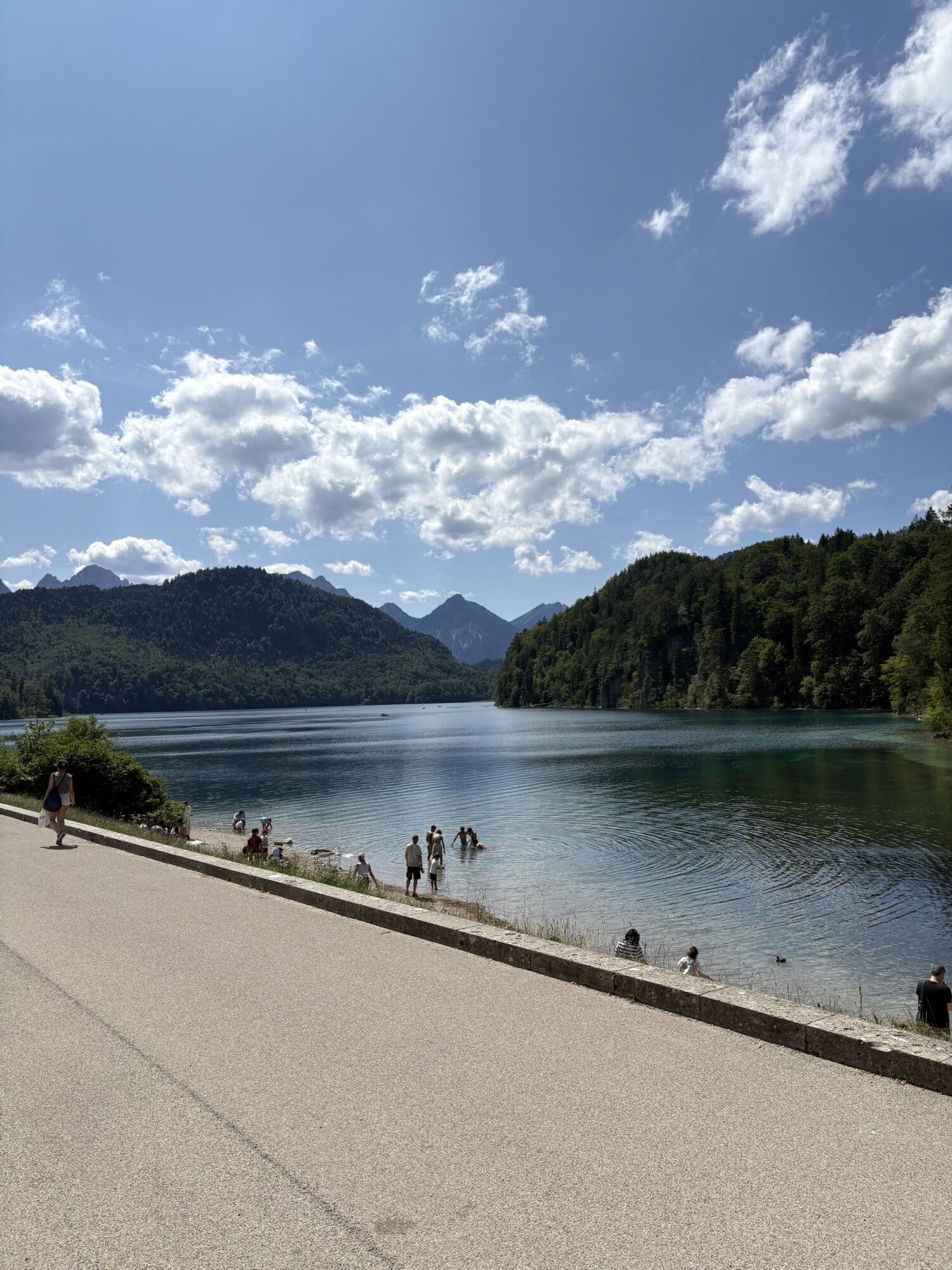
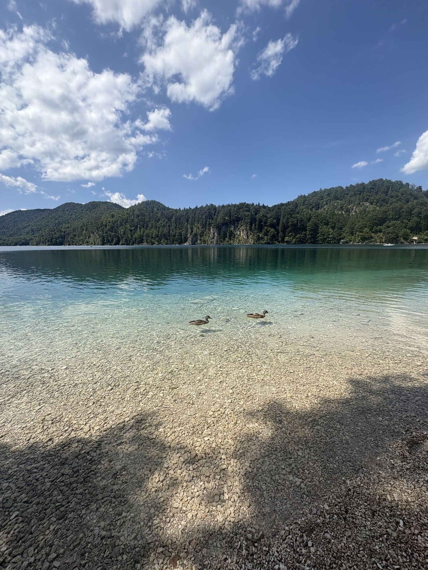
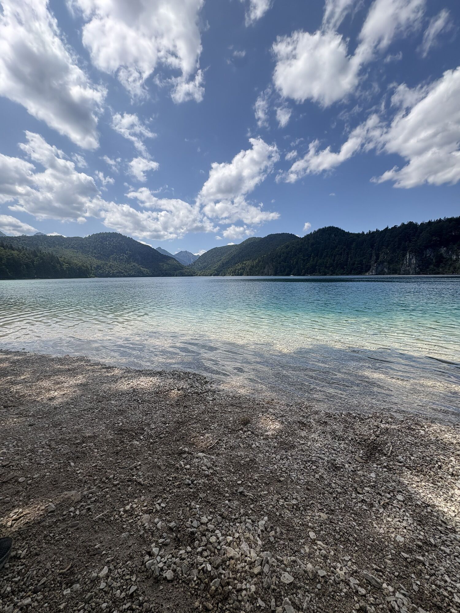
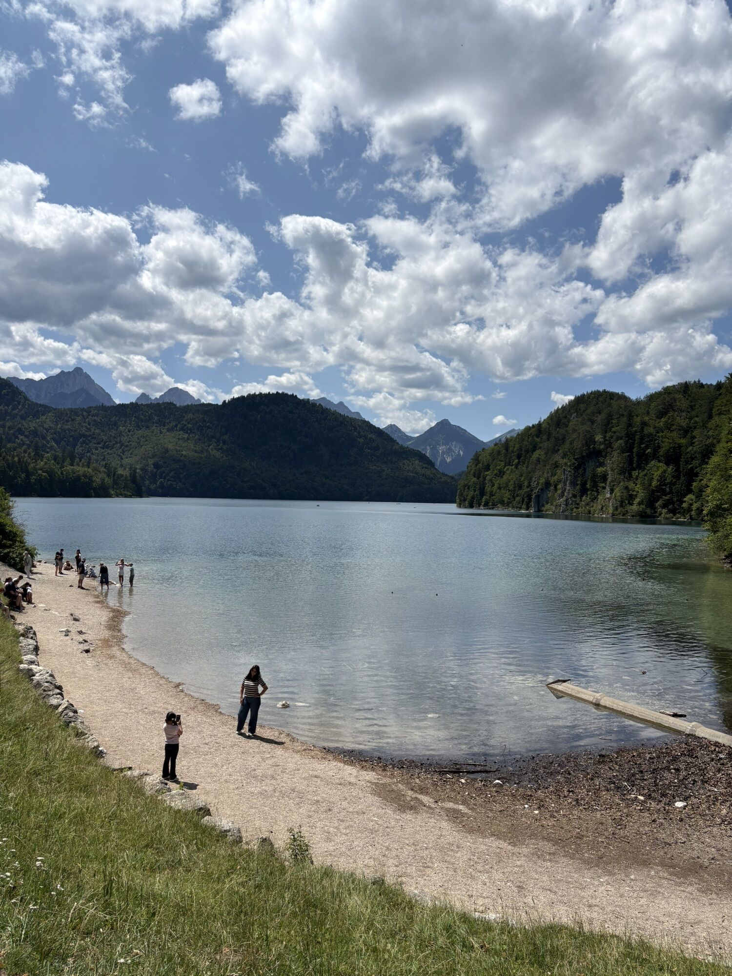
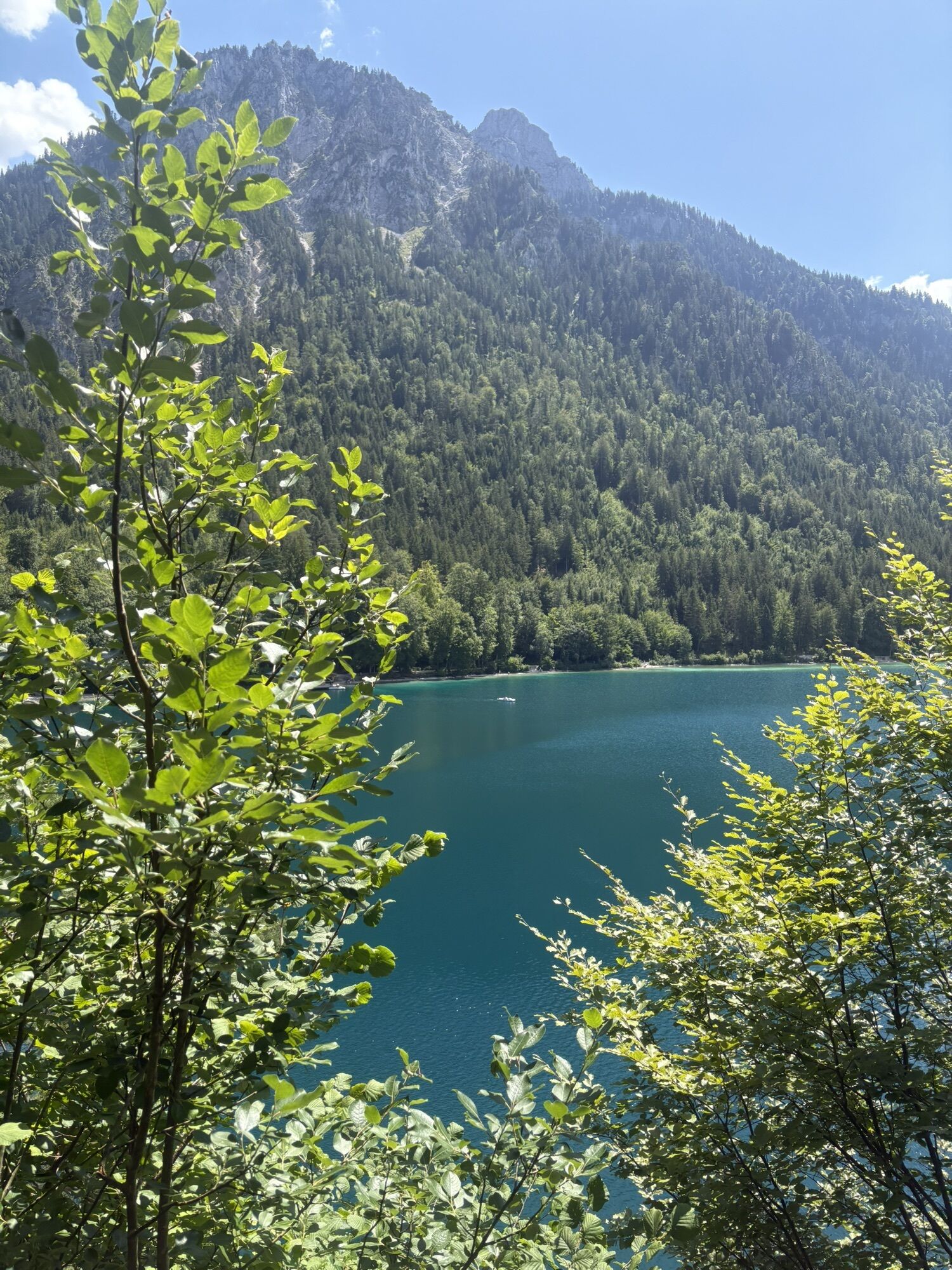
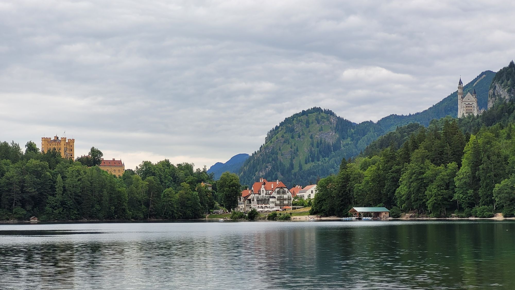
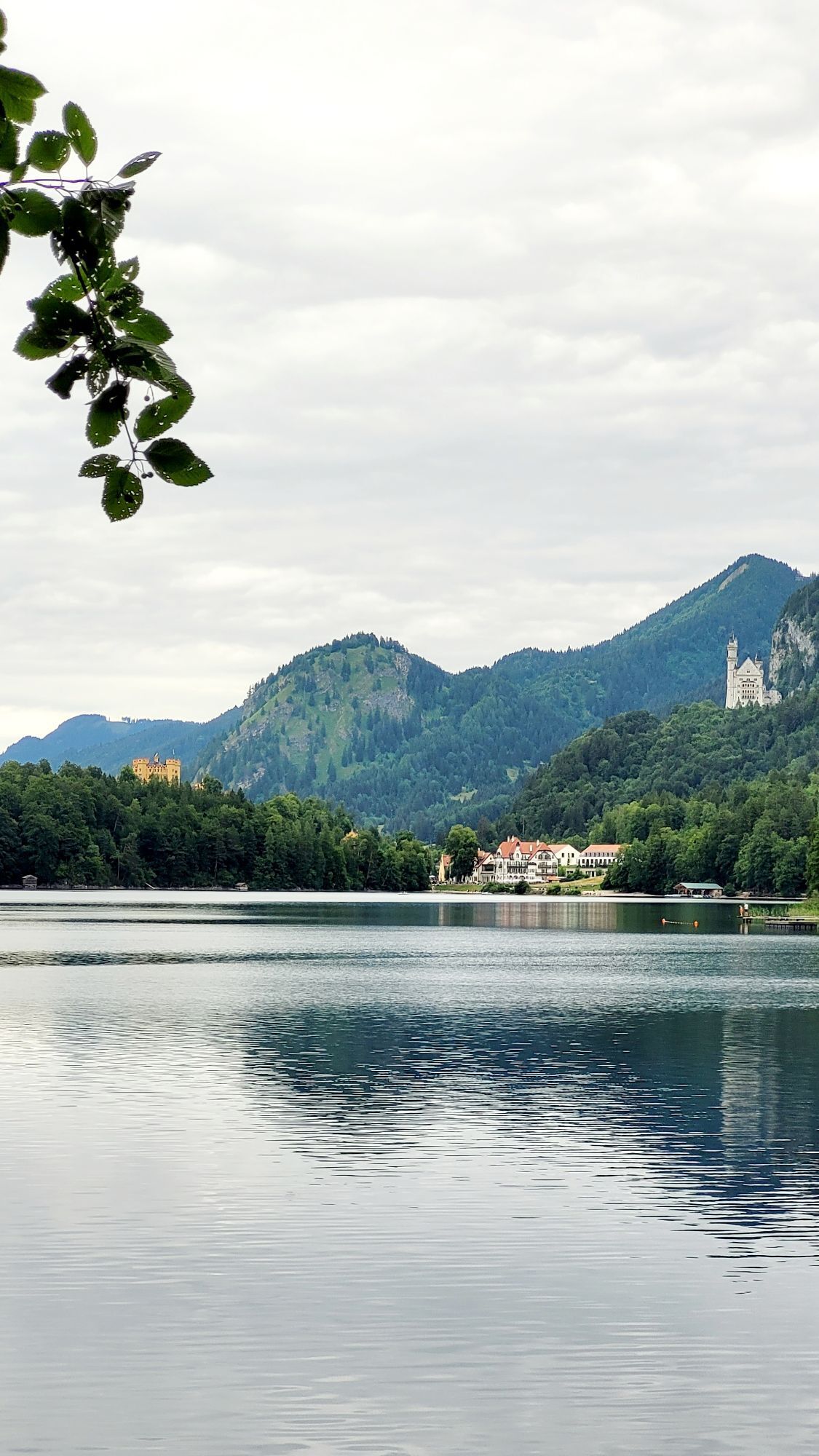
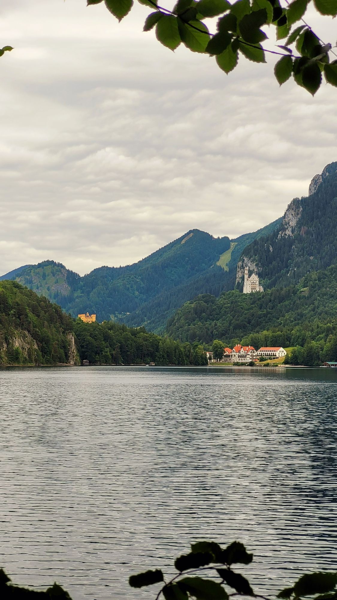
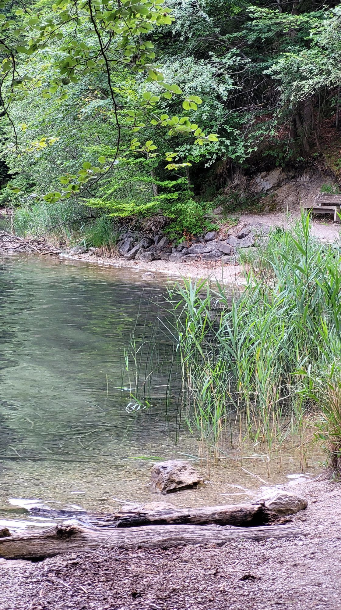
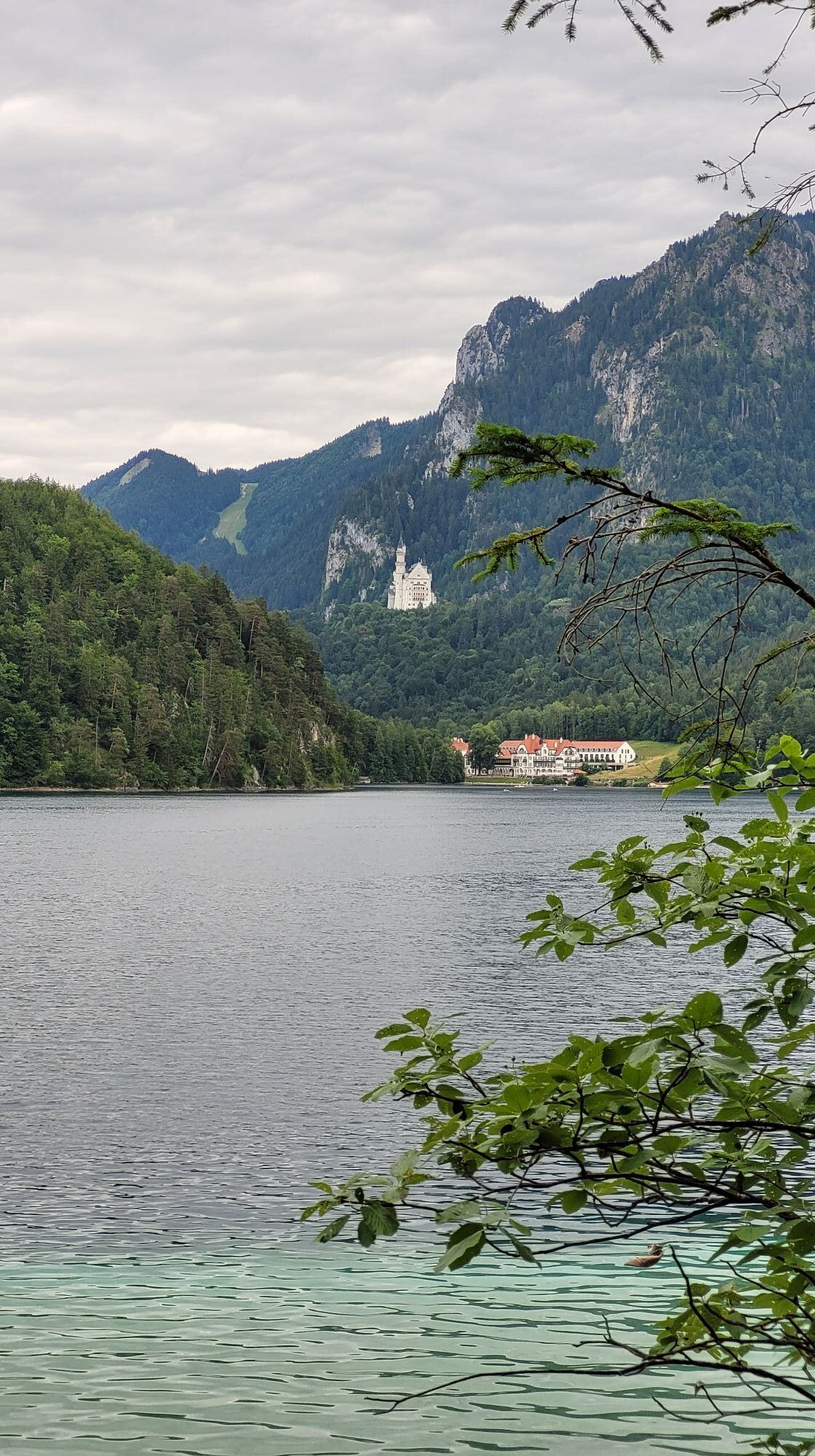
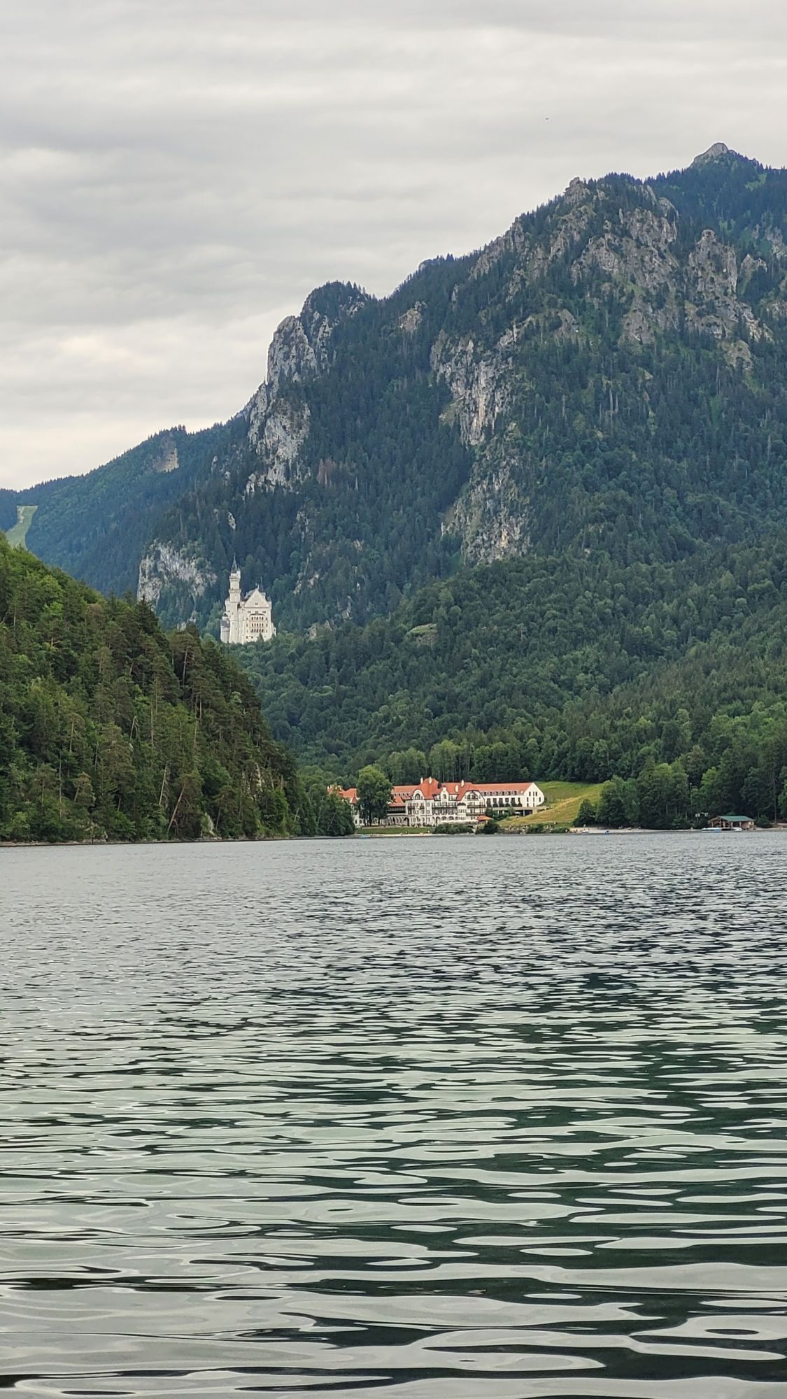
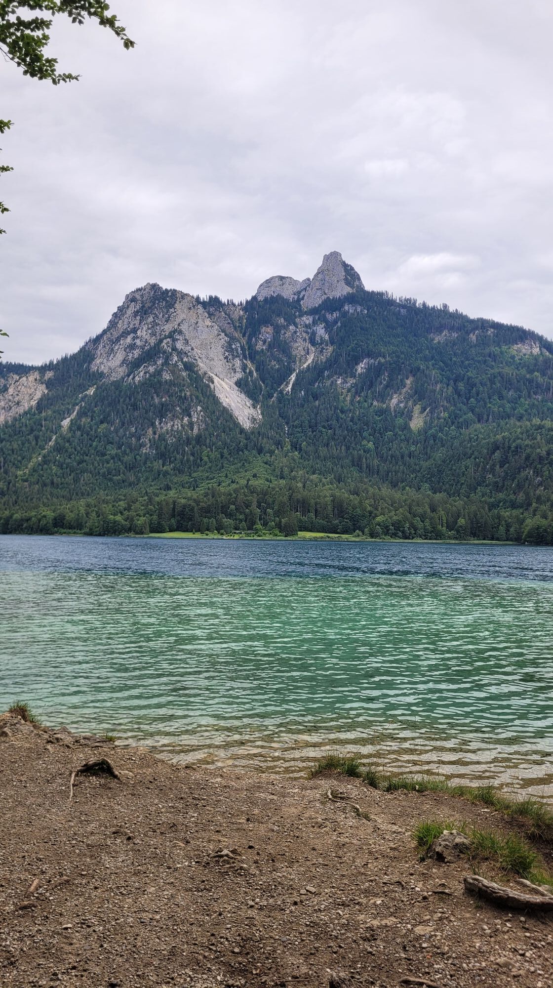
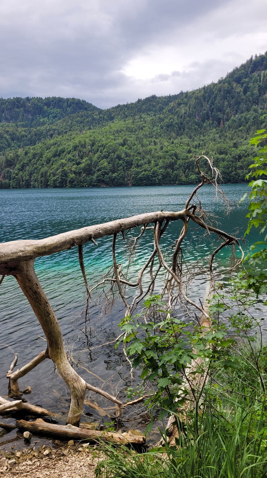
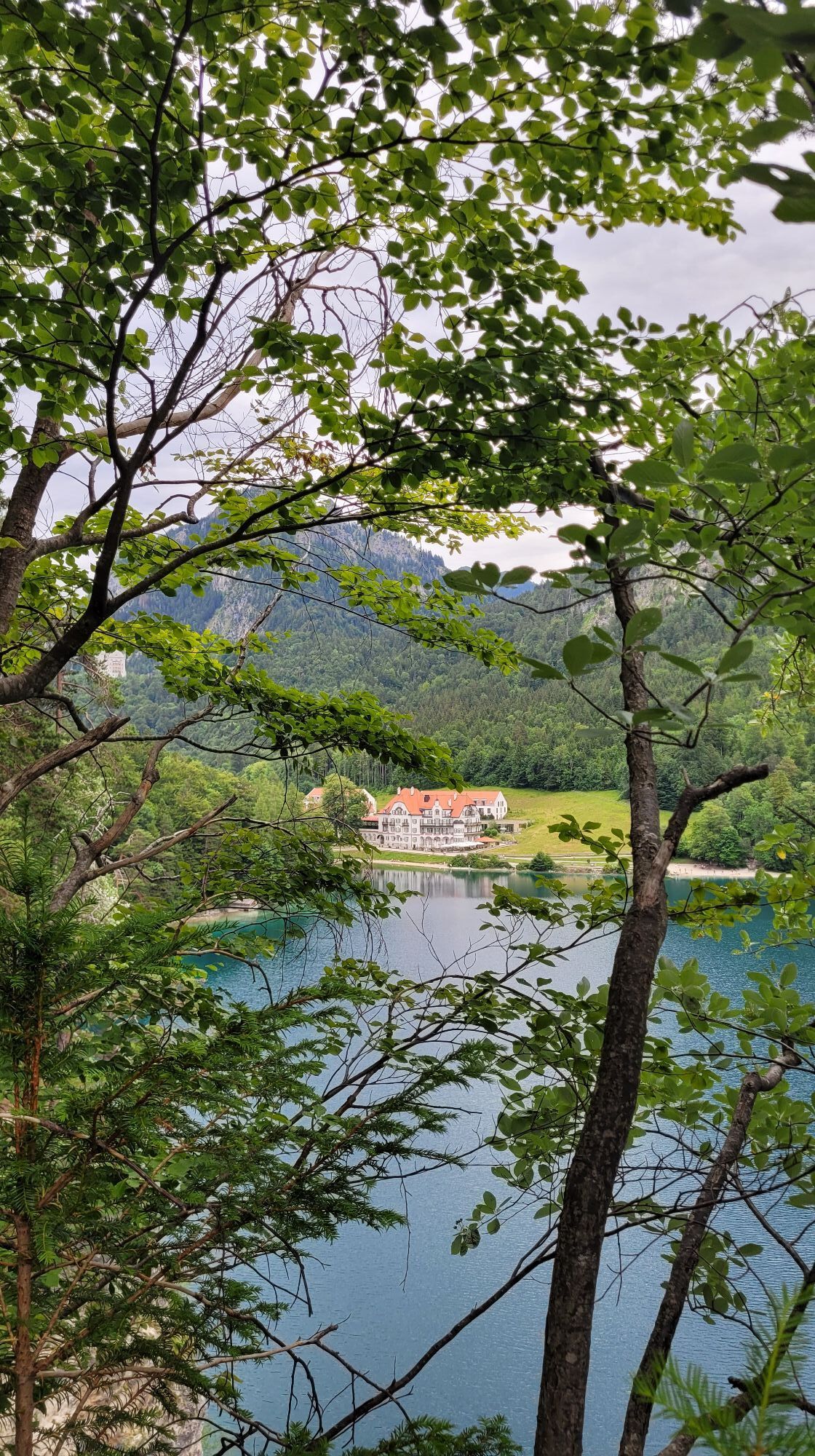
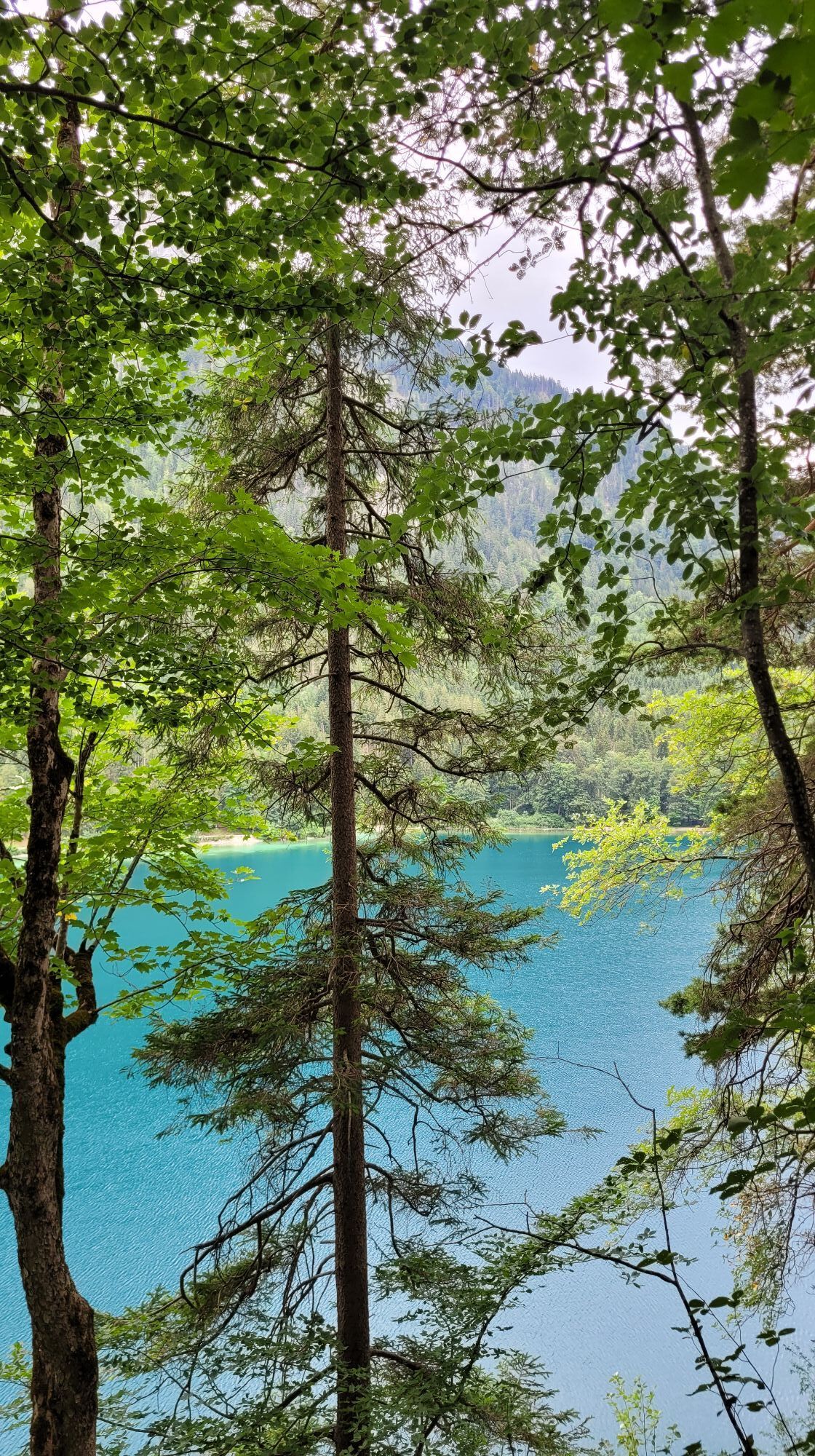
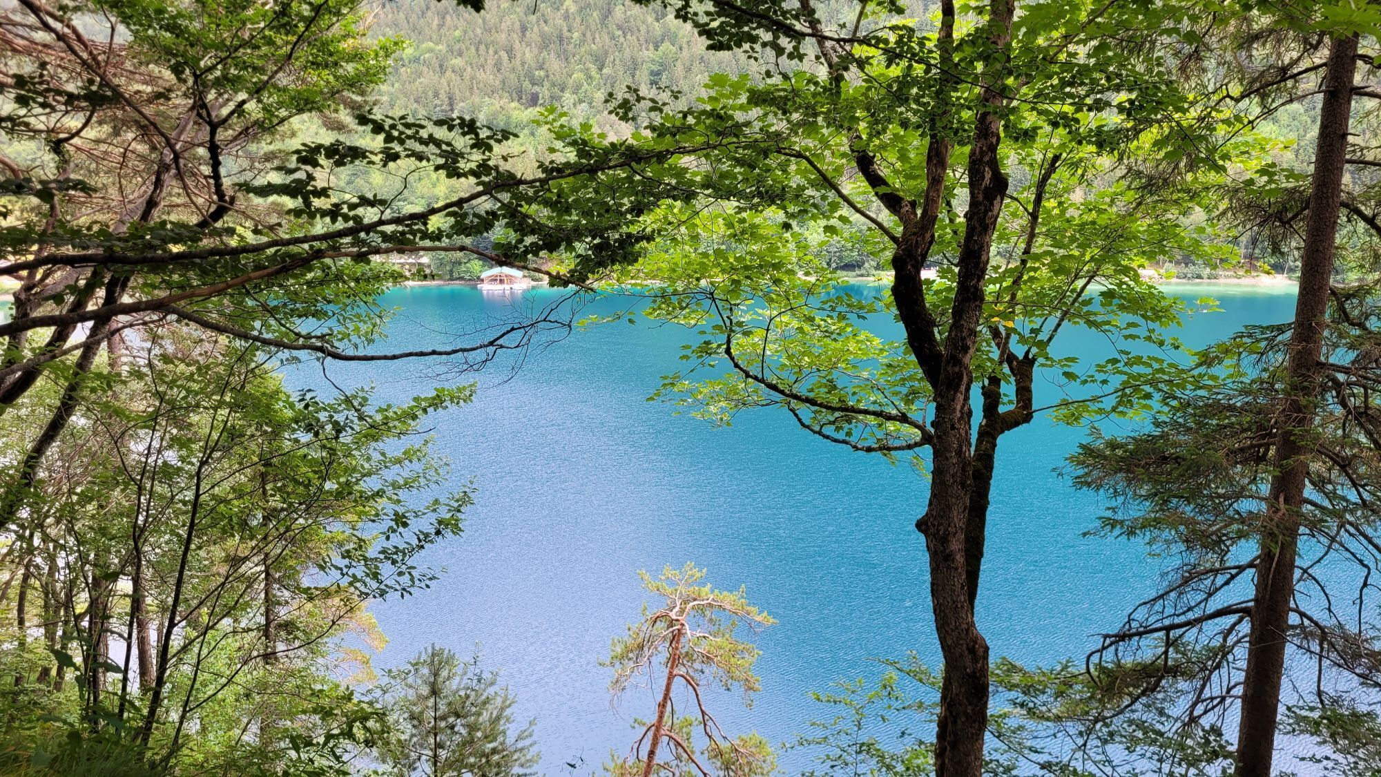
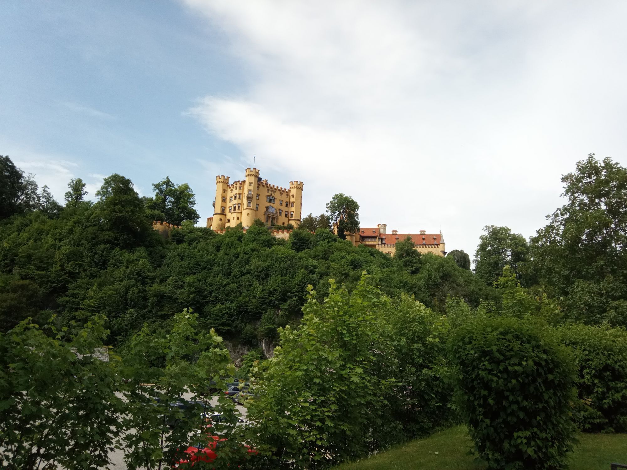
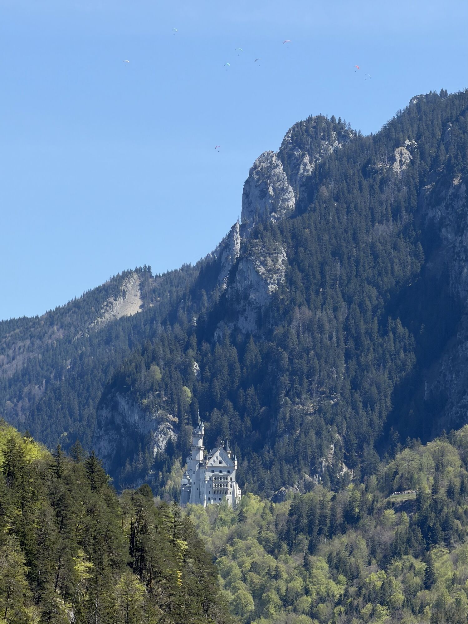
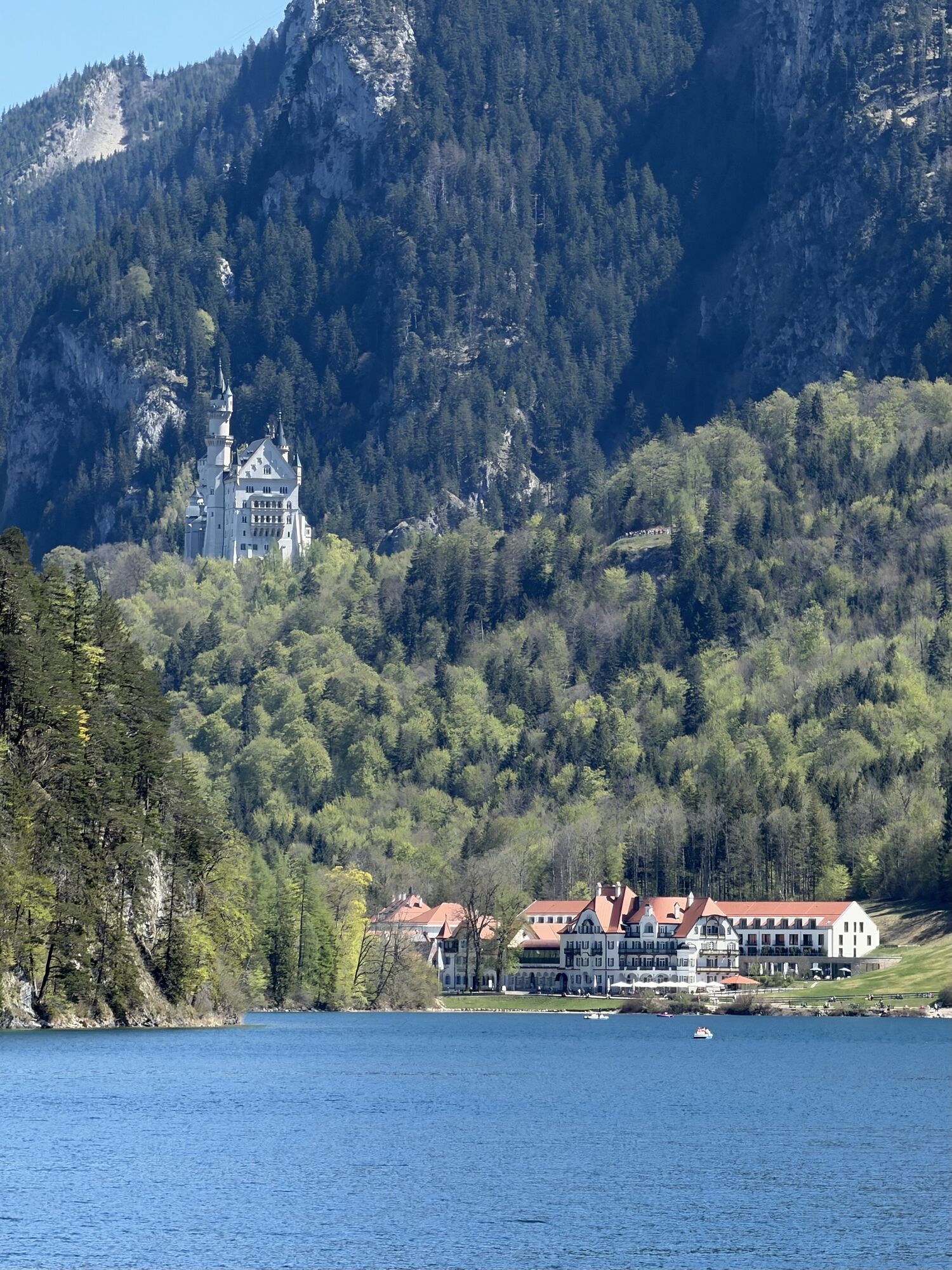
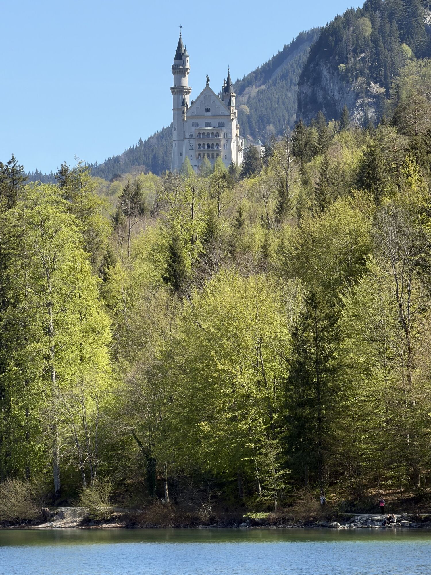
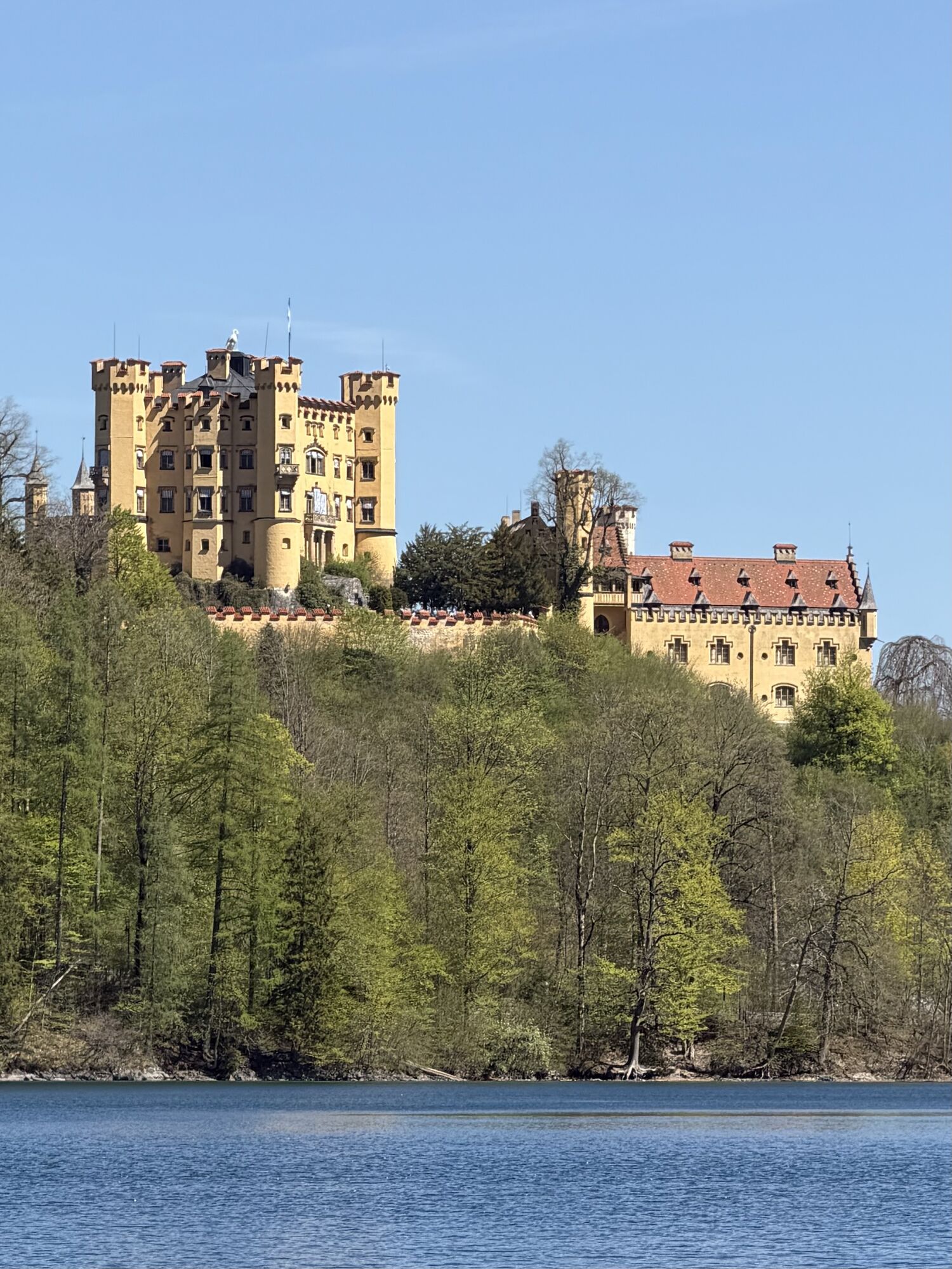
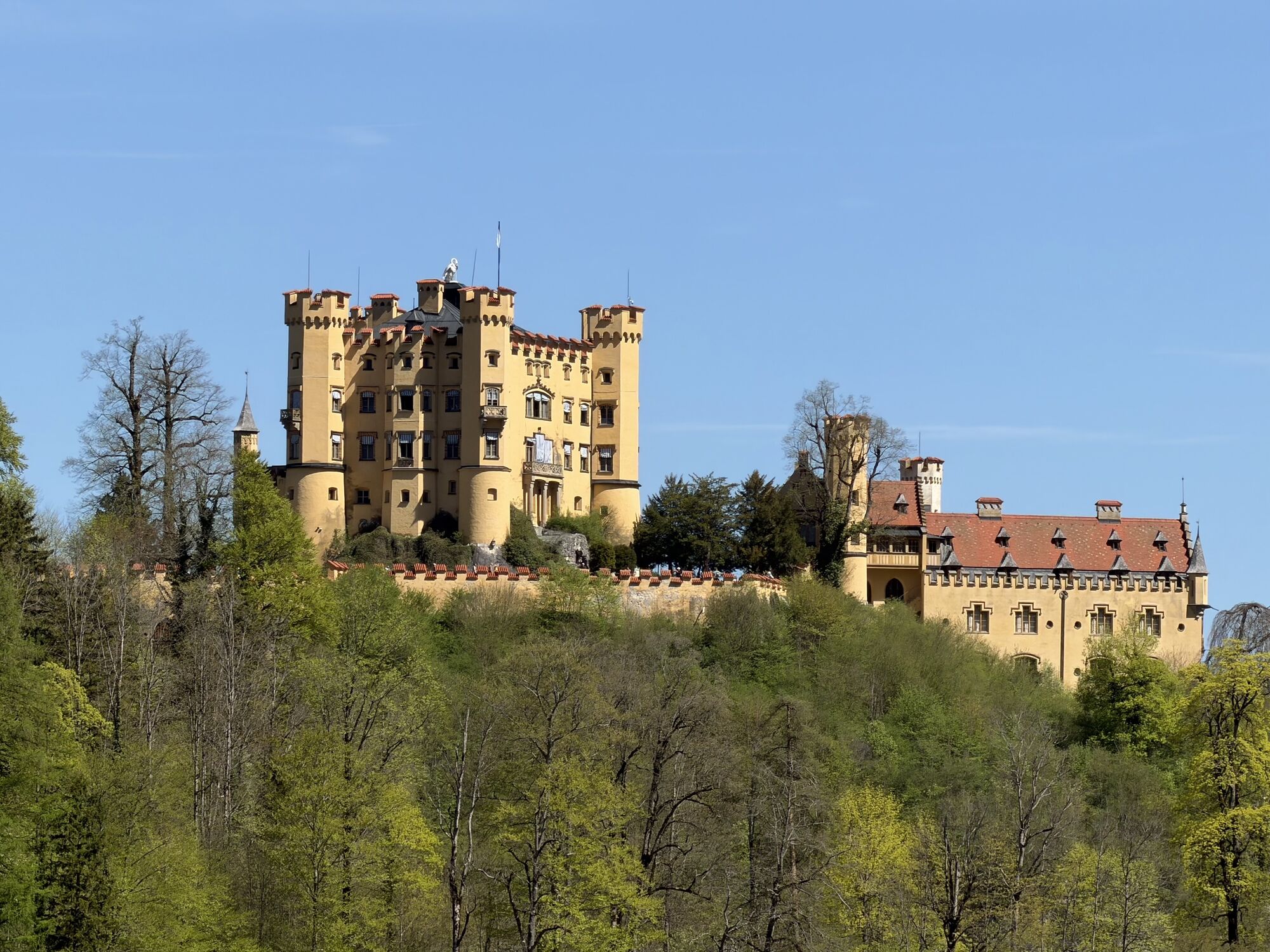

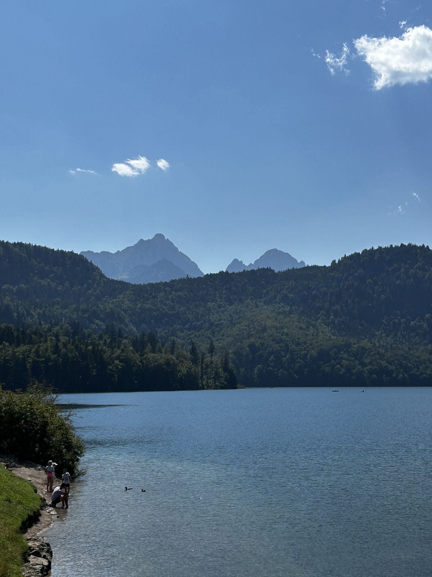

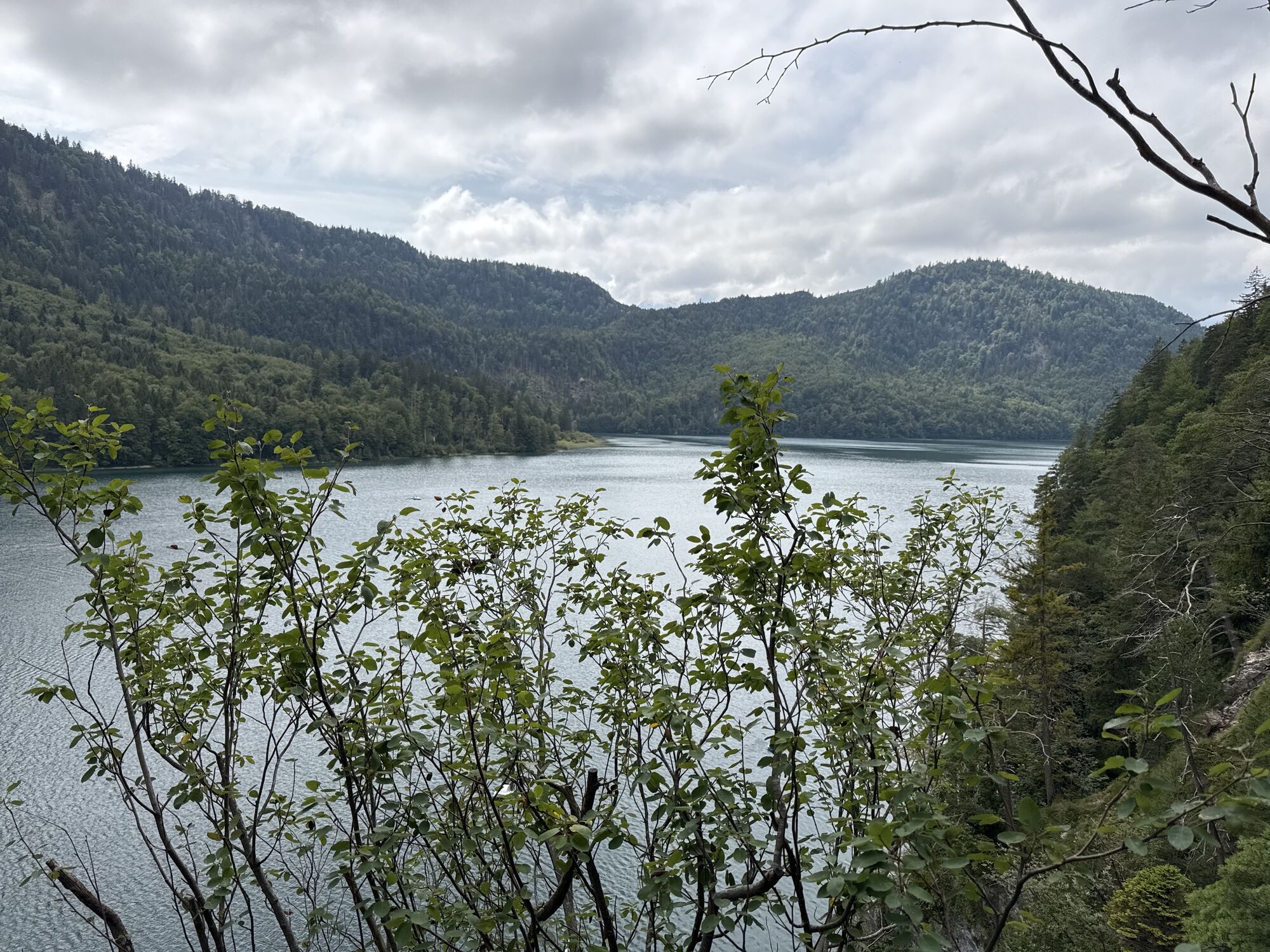
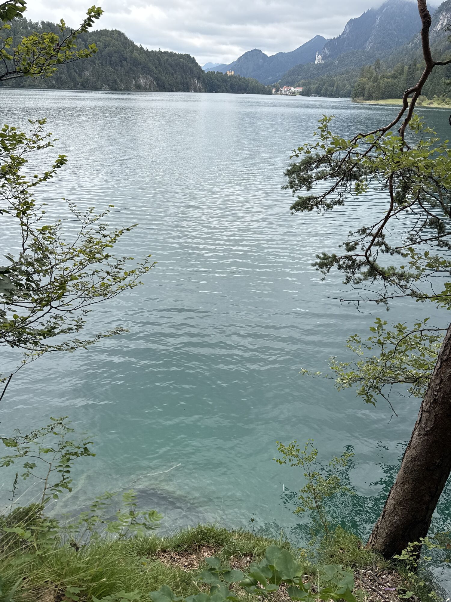
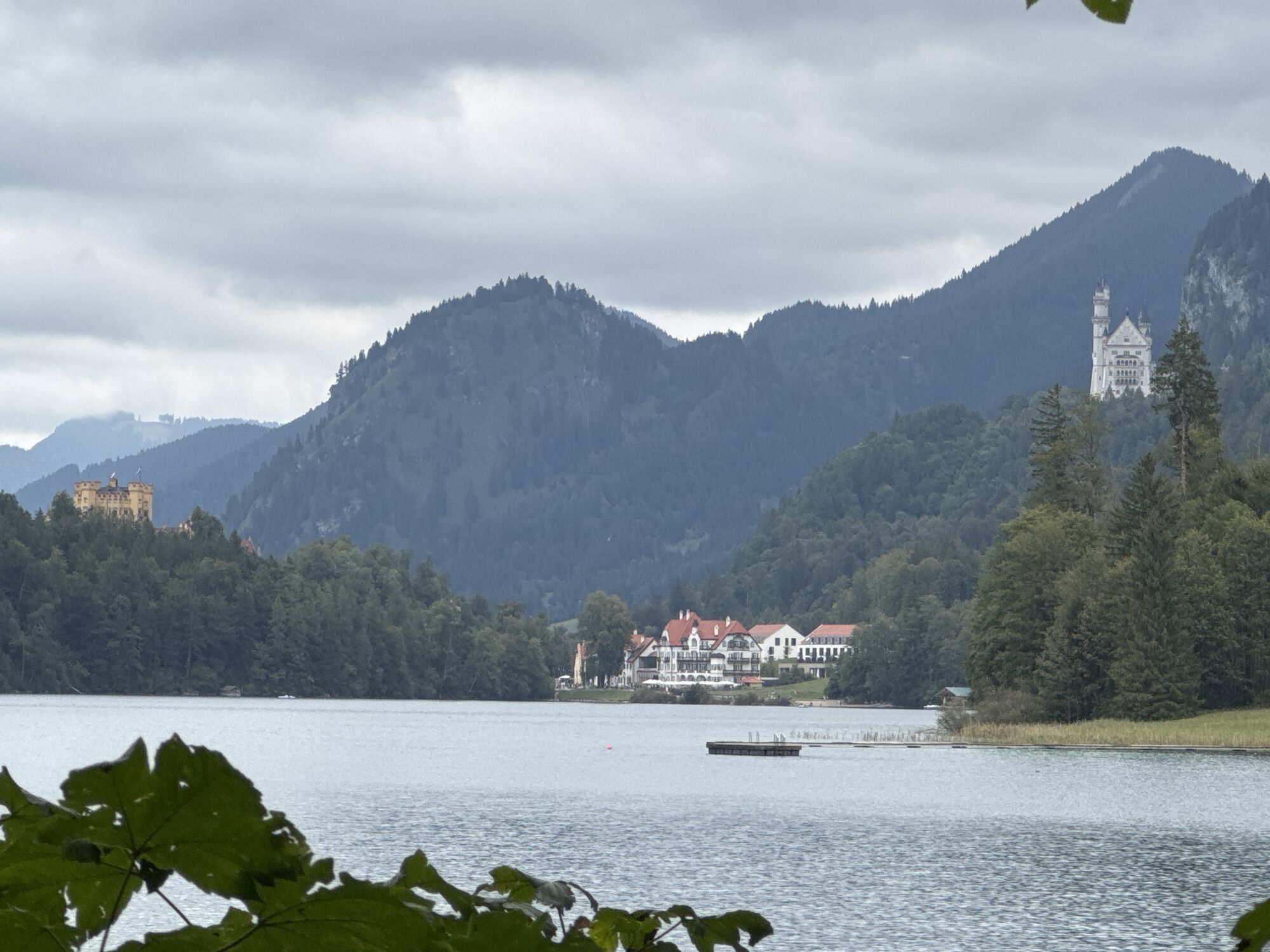
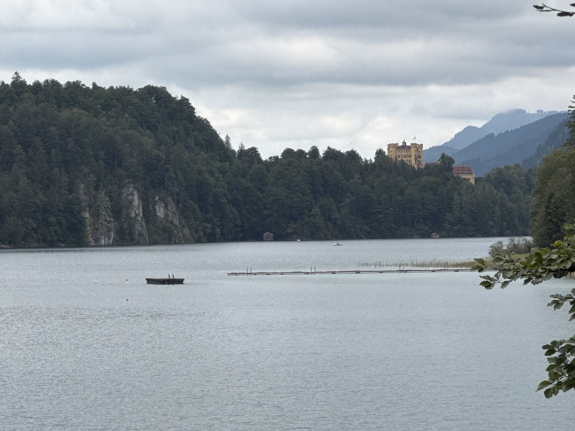
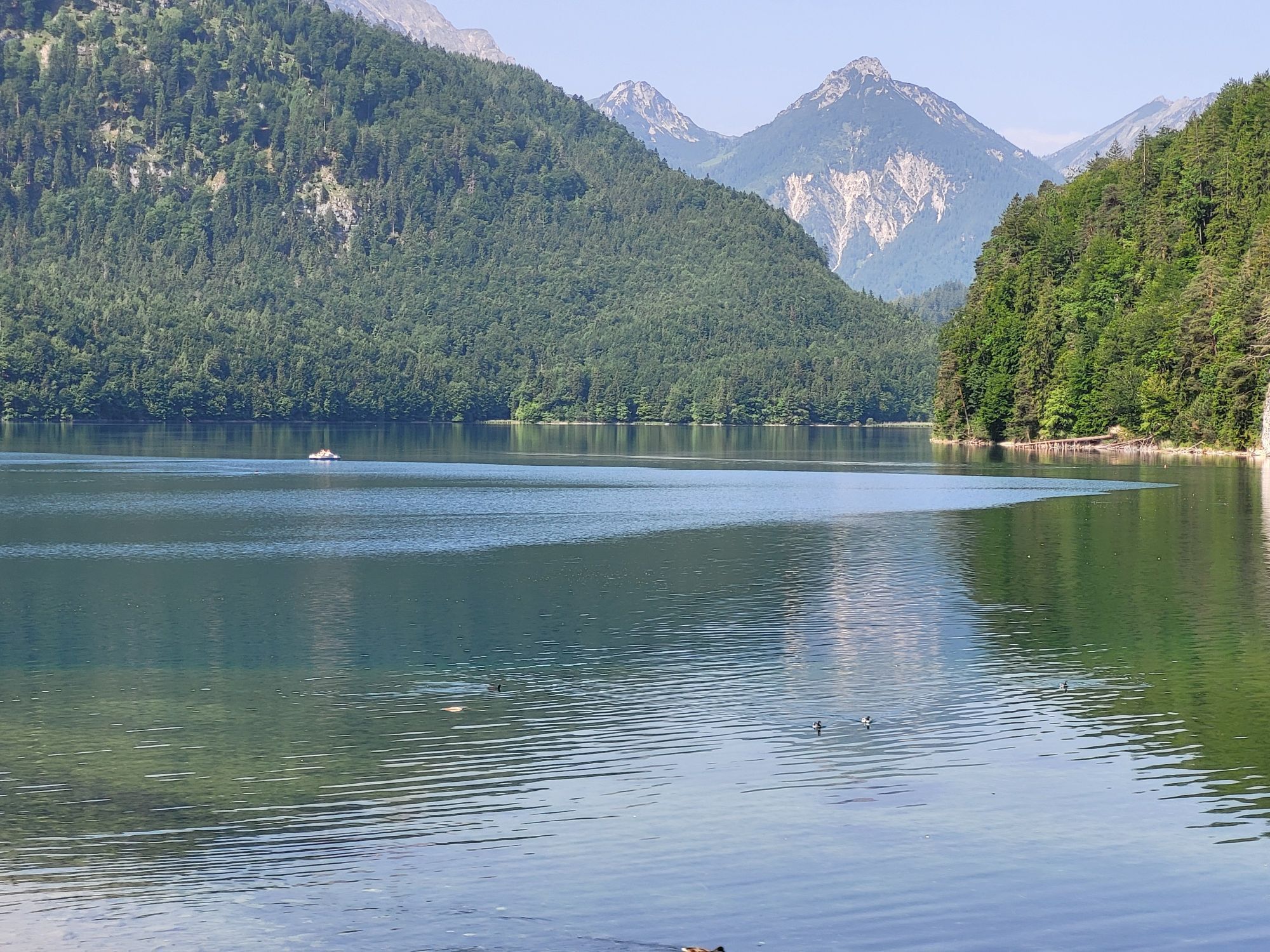
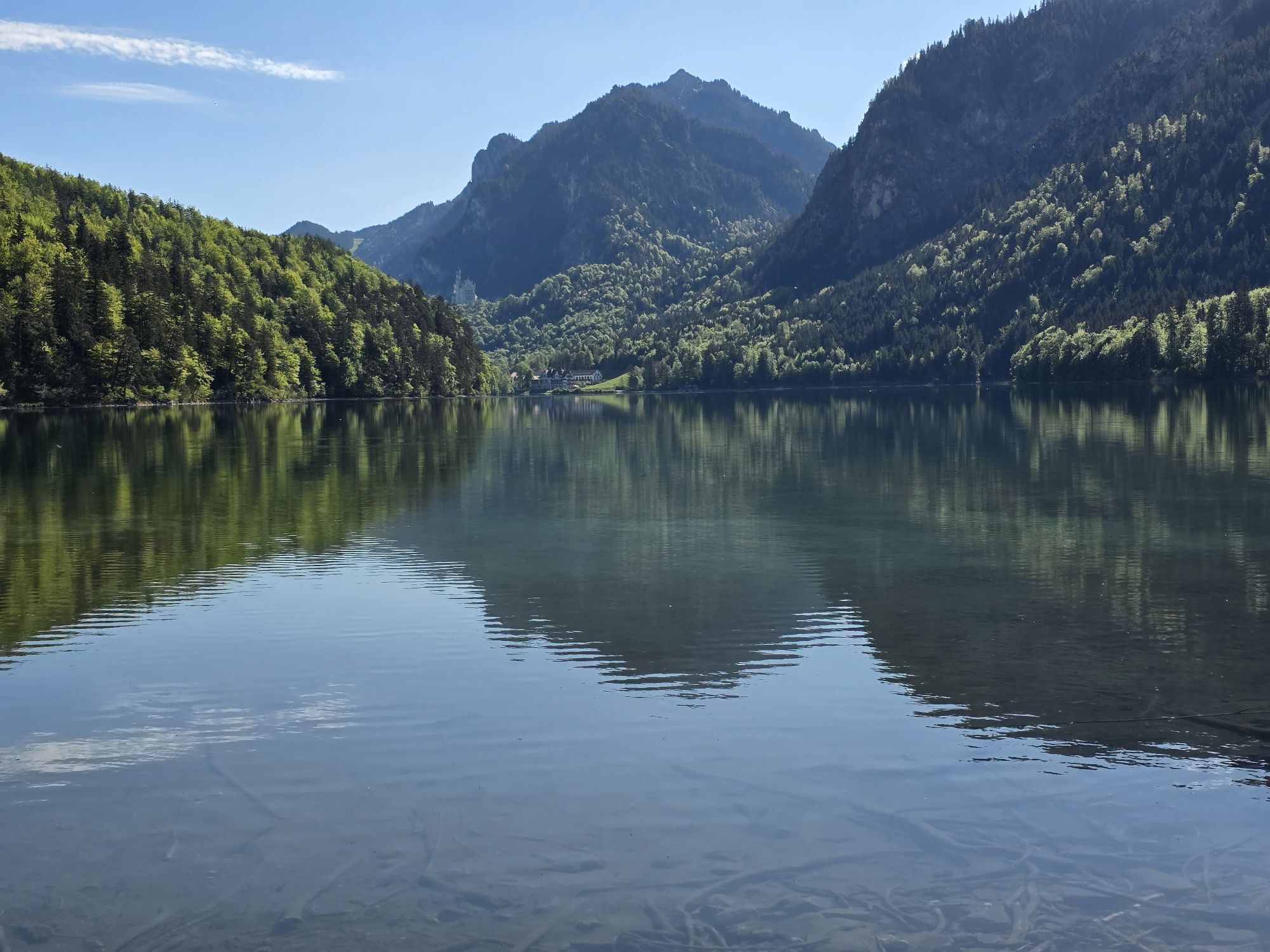
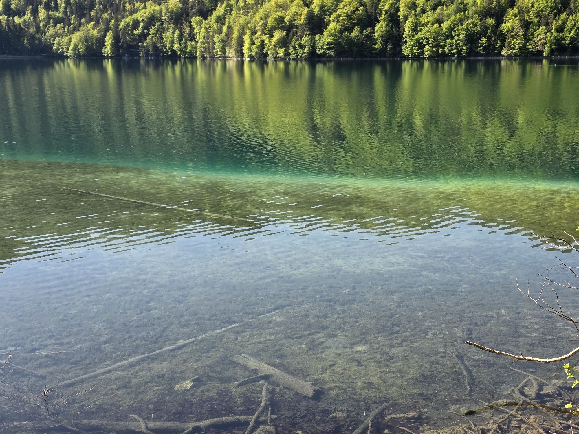
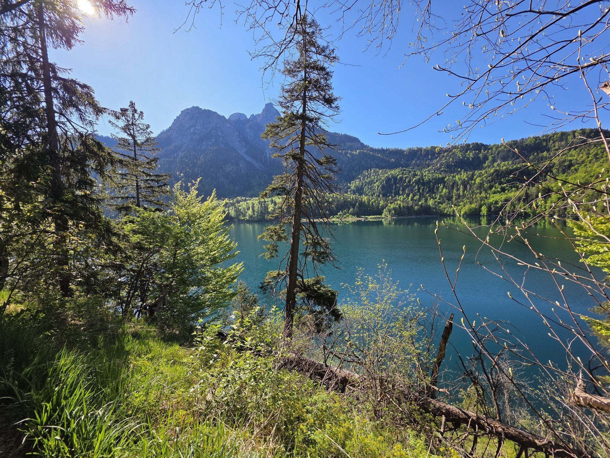
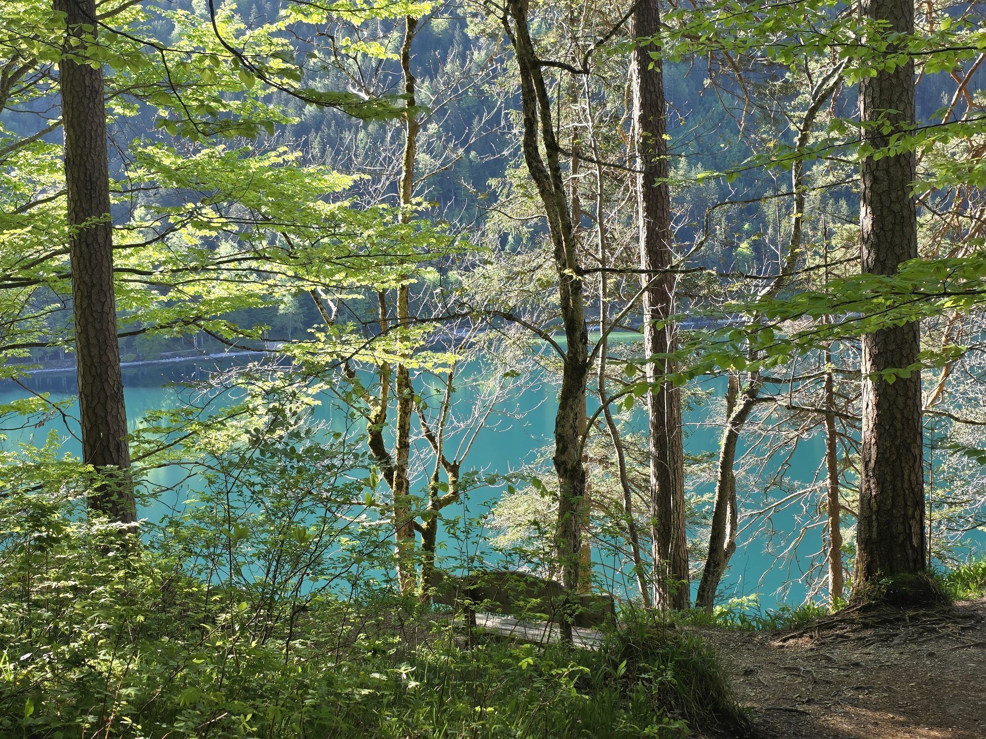
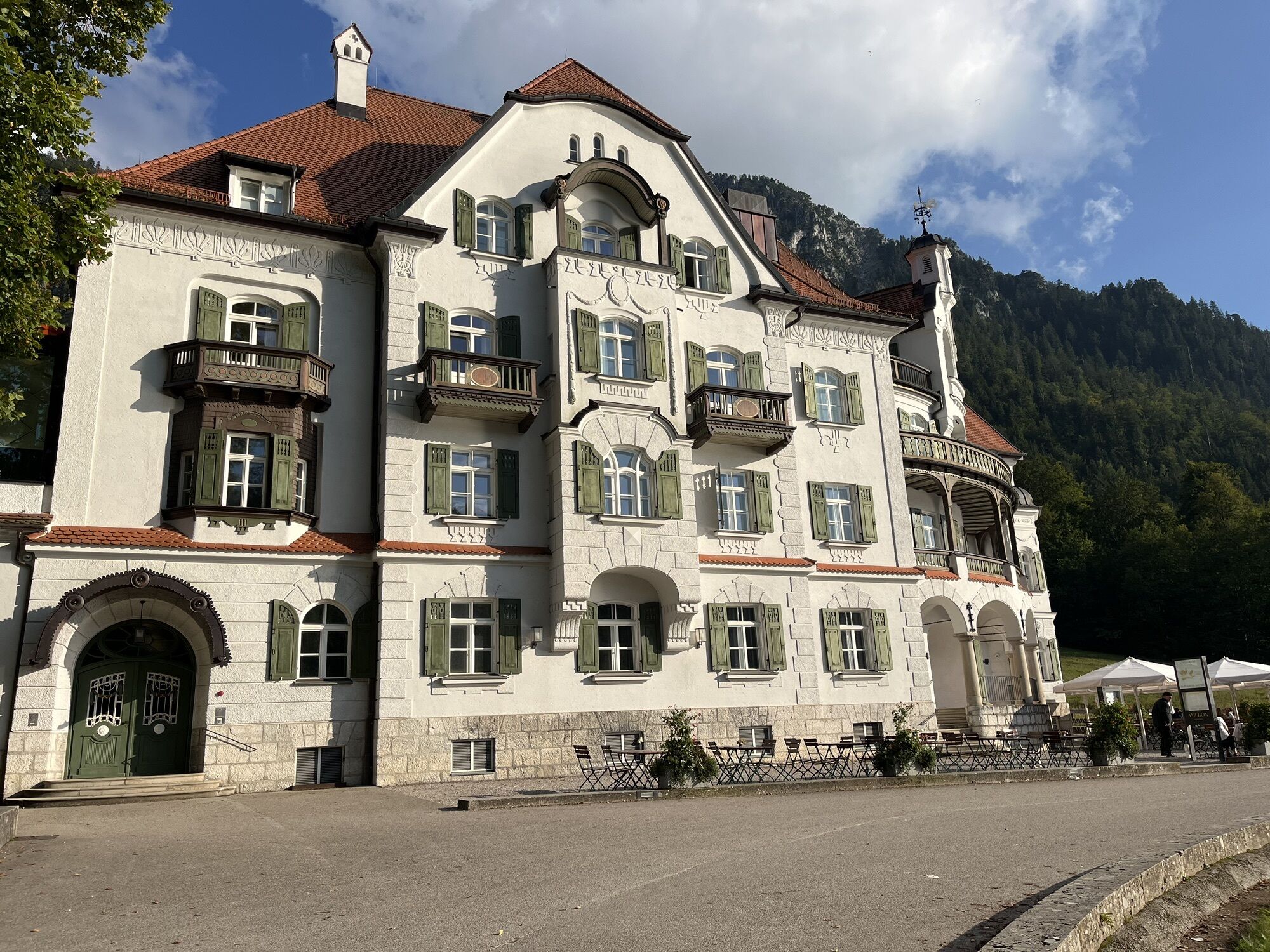
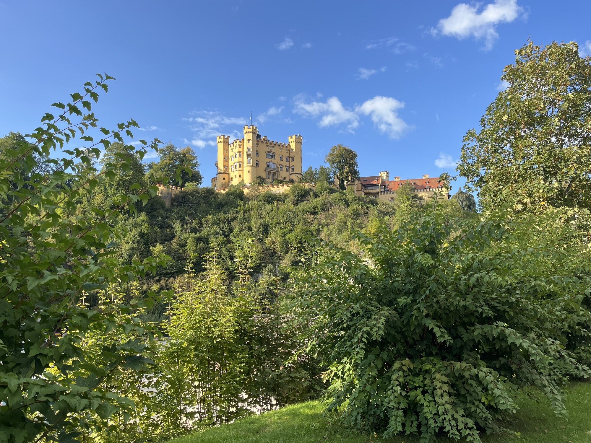
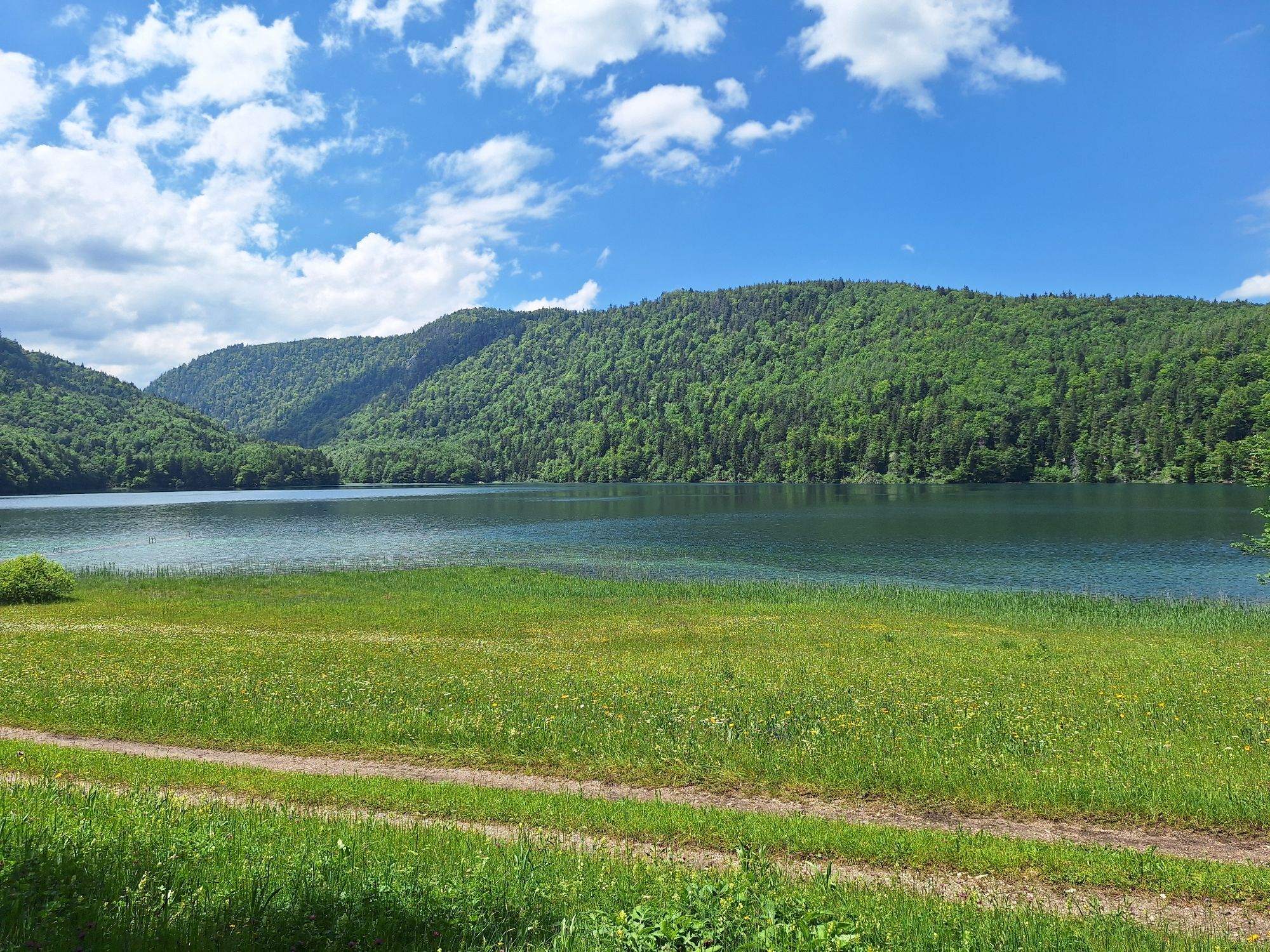
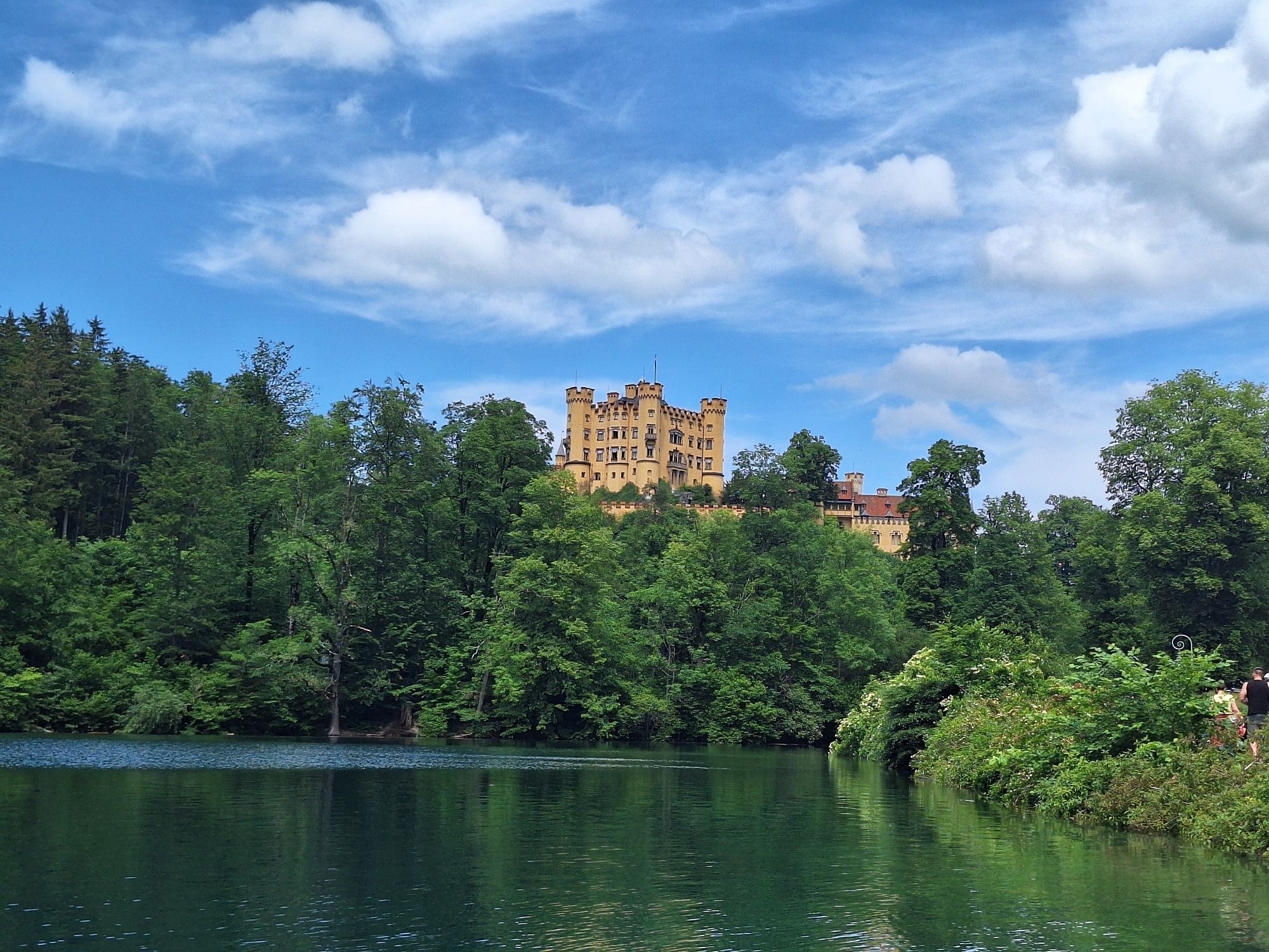
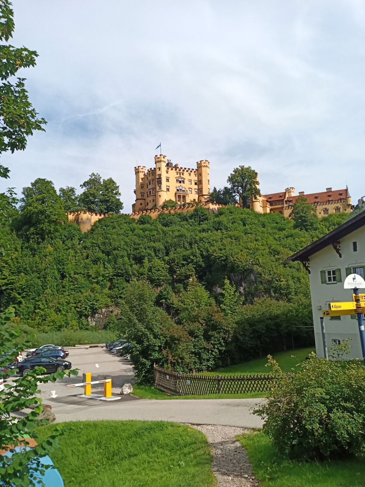
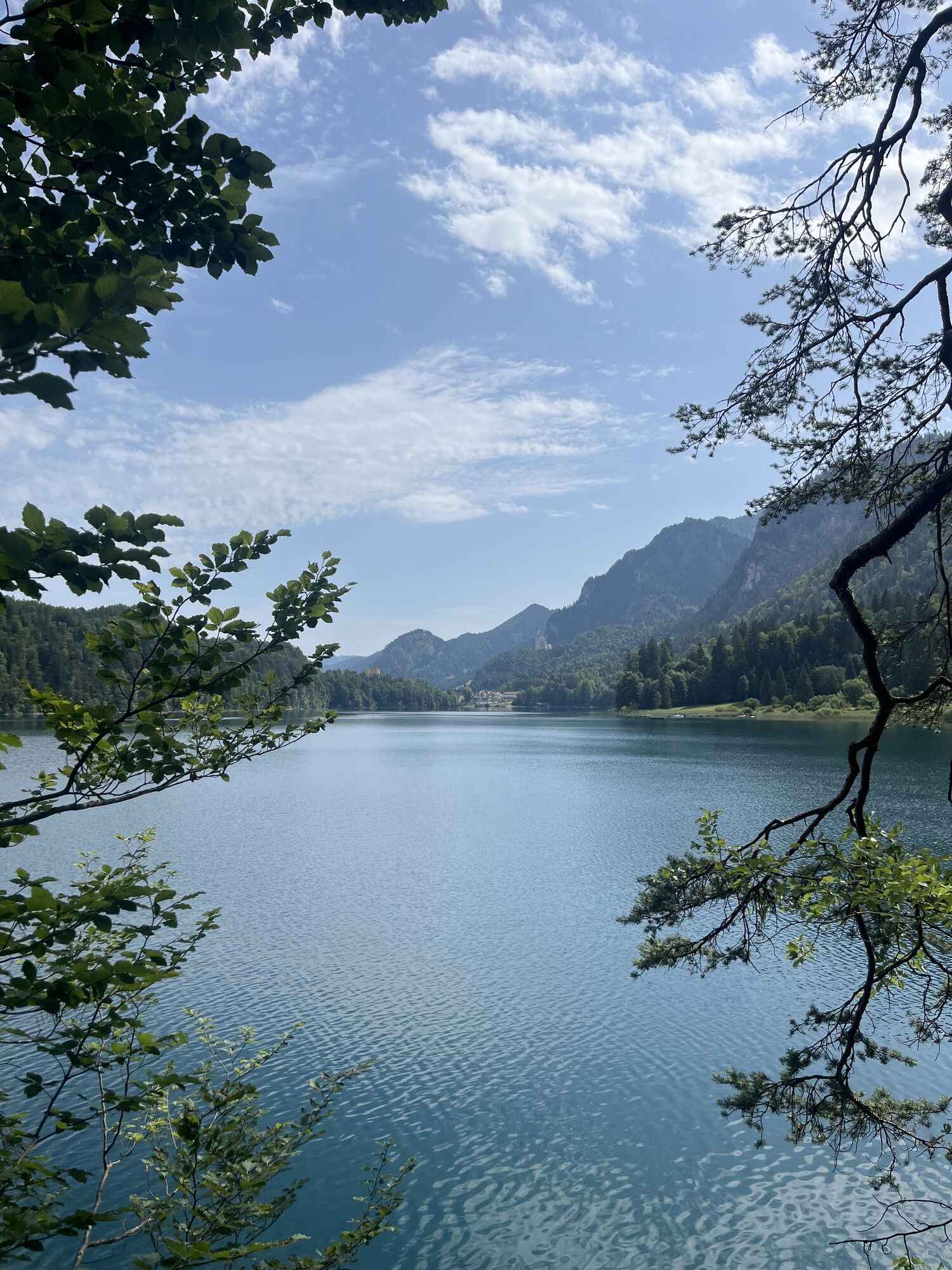
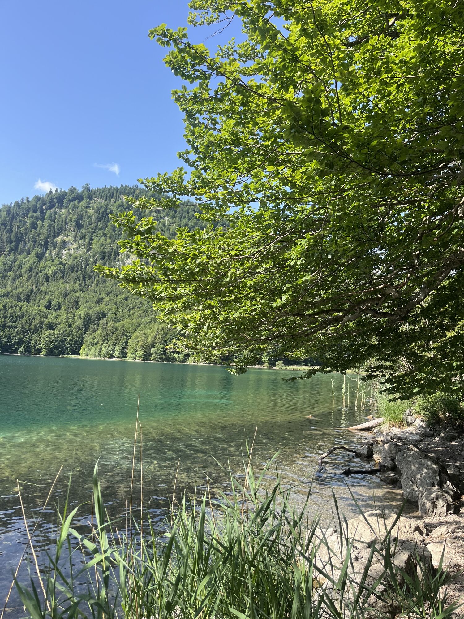
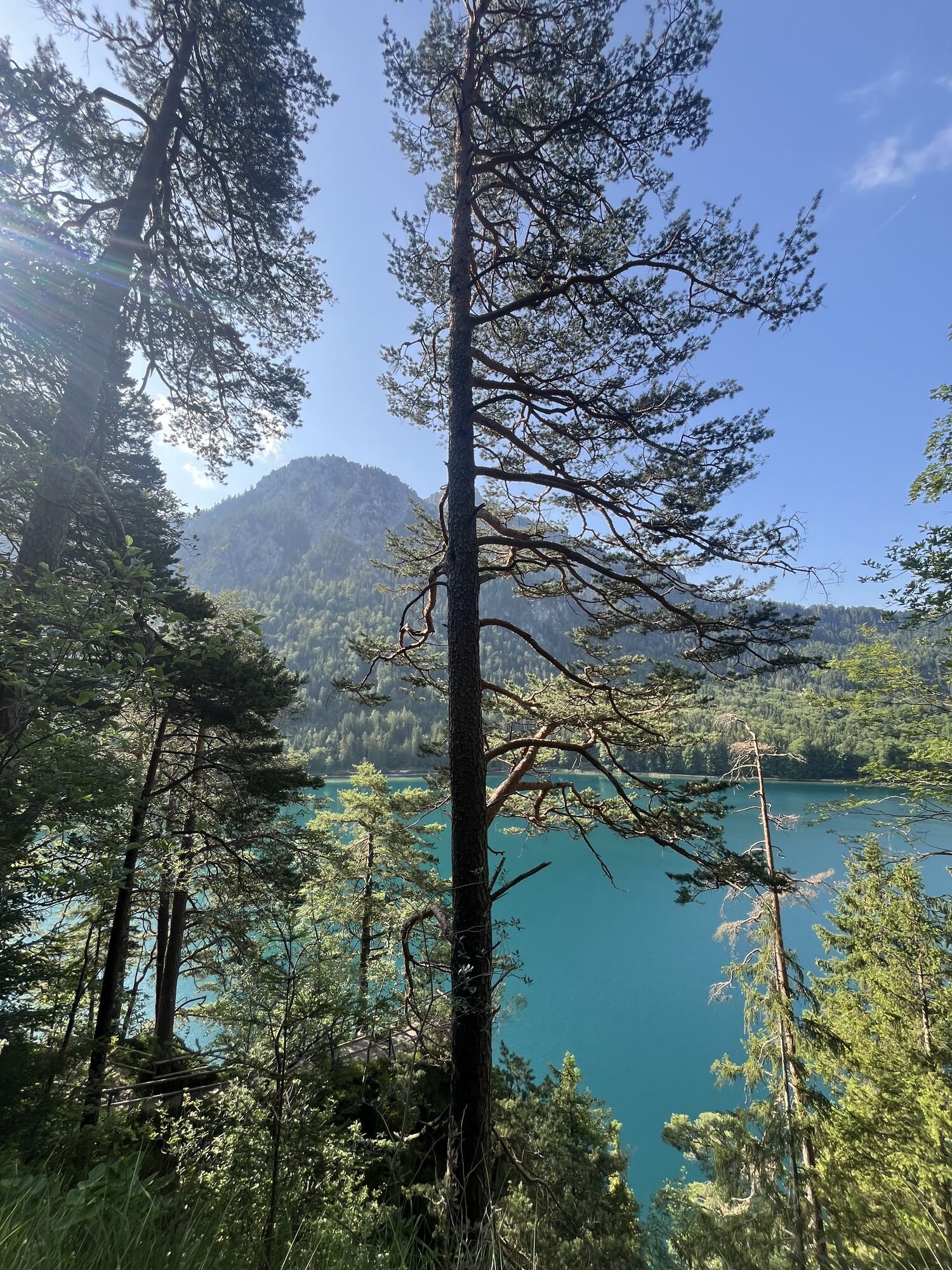
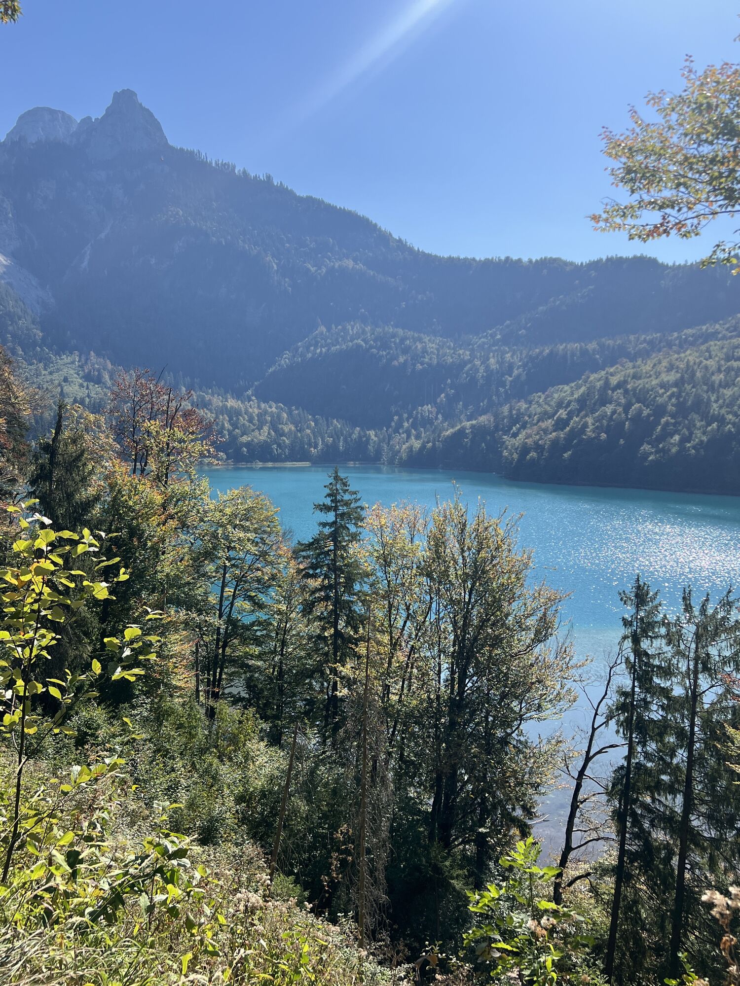
The Alpsee near Schwangau is considered the clearest body of water in the region and was King Ludwig II's favorite lake. The easy circular hike runs below the castles of Neuschwanstein and Hohenschwangau...
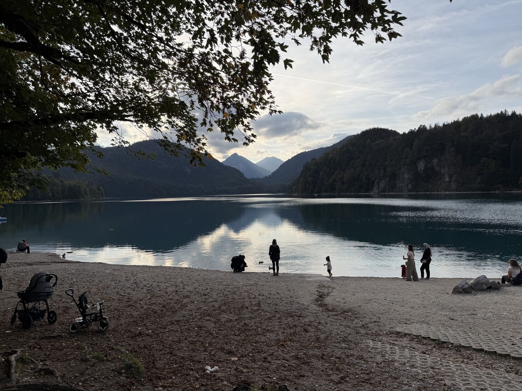
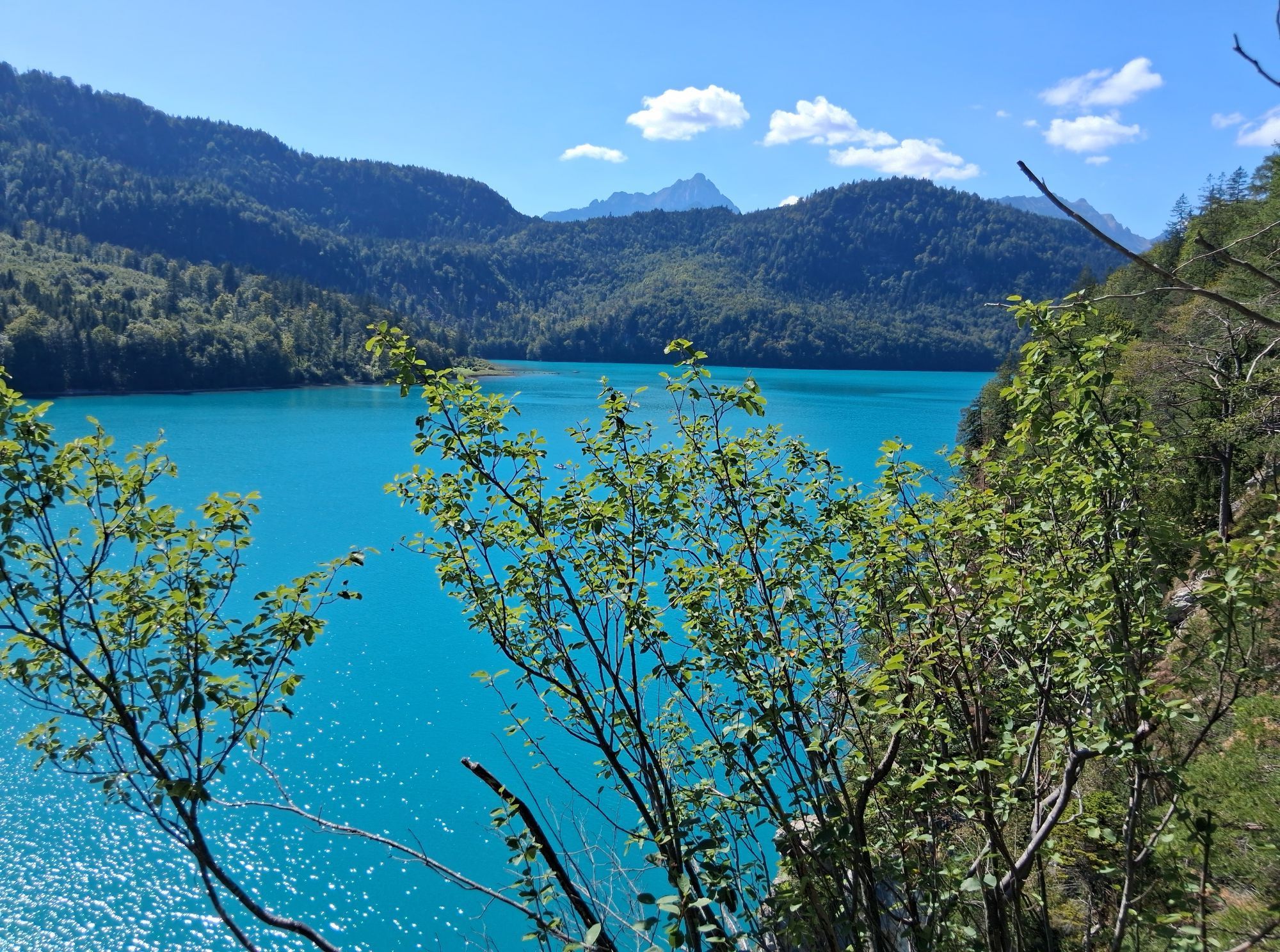
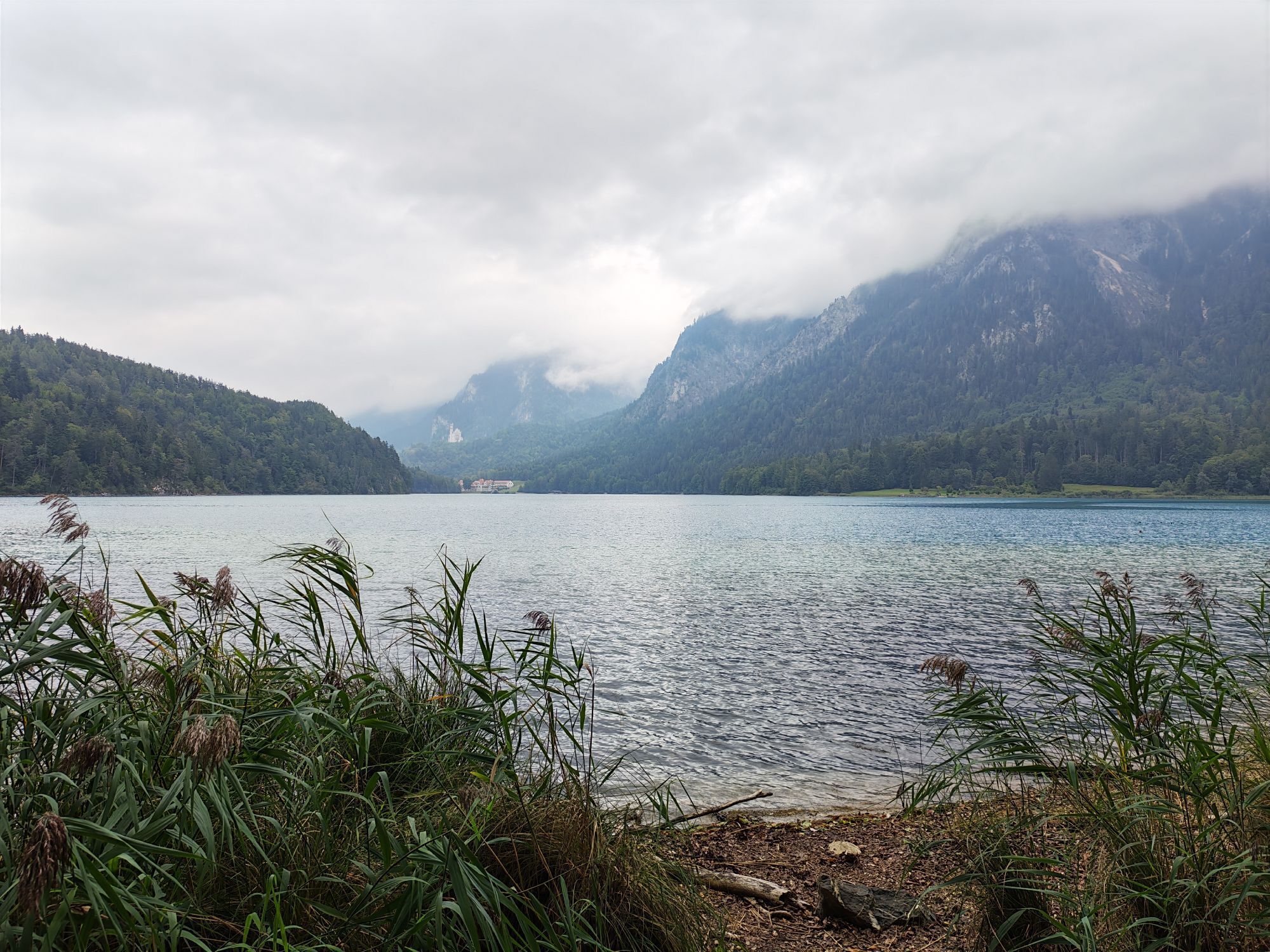
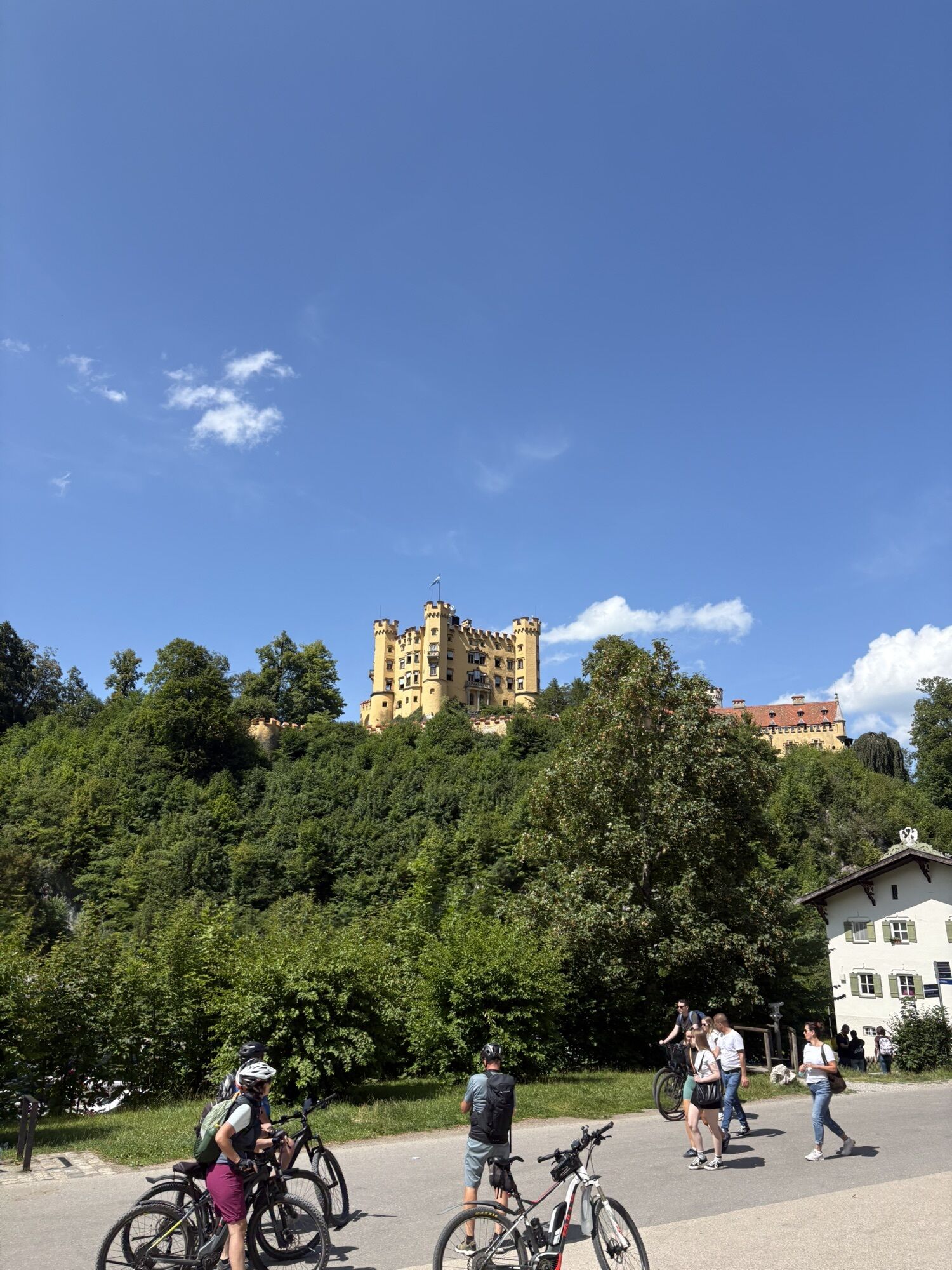
The Alpsee near Schwangau is considered the clearest body of water in the region and was King Ludwig II's favorite lake. The easy circular hike runs below the castles of Neuschwanstein and Hohenschwangau around the Alpsee and offers beautiful views of the lake and the mountain landscape.

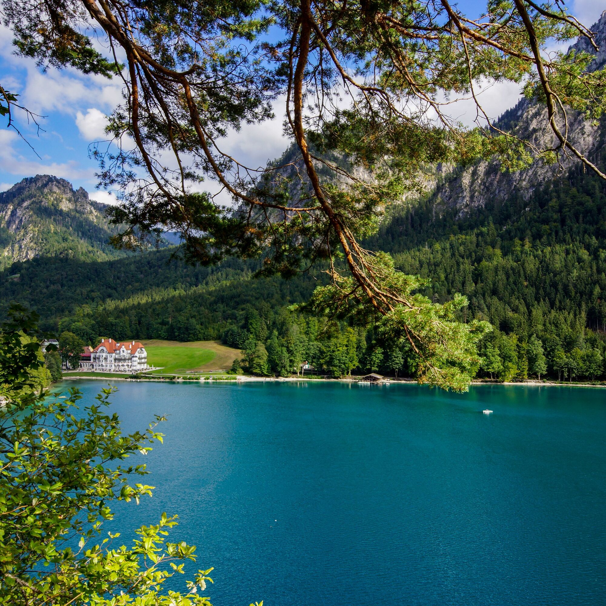
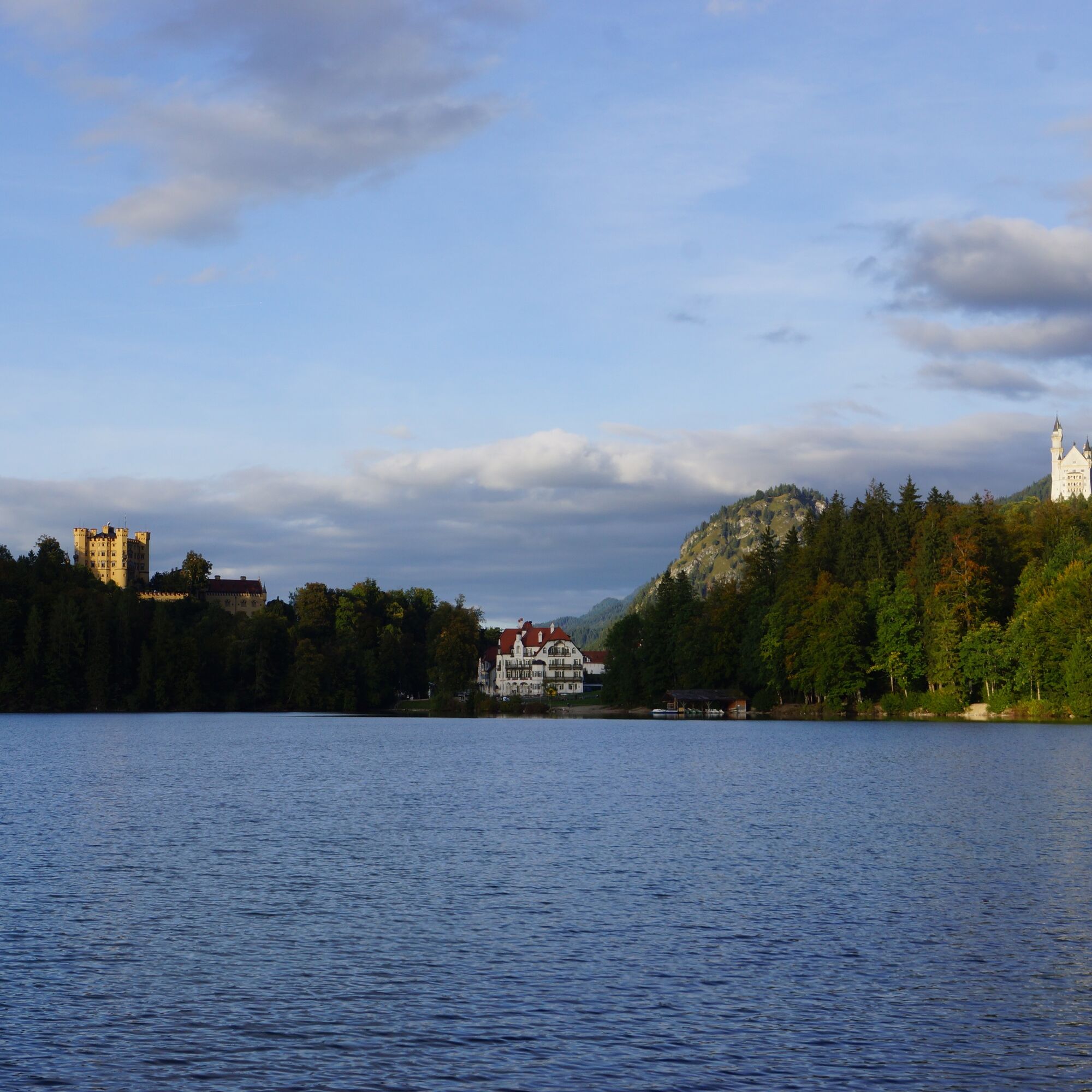

The starting point is the Alpsee parking lot on Fürstenstraße. From there, follow the path in the direction of Hohenschwangau Castle and Austria. At the junction to Hohenschwangau Castle, continue straight ahead. Shortly afterwards, you will reach Pindarplatz on the left with a beautiful view over the Alpsee, Neuschwanstein Castle and the Museum of the Bavarian Kings. A little further up, turn left onto a narrow path that leads around the lake away from the tarred road. This takes you to the clearing with the Marienmonument - once Queen Marie's favorite bathing spot. The year of construction, 1897, is marked with Roman numerals (MDCCCLIIIL); the letters I.V.S. refer to the aristocratic founders of Seinsheim. The clearing is ideal for a break with a view. Then follow the path towards Alpseebad. You return to the starting point via rocks and footbridges on the opposite shore.
Áno
We recommend: Clothing suitable for the weather, hiking boots, poles, drinks, snacks and a first aid kit.
Follow the signs to Hohenschwangau/Königsschlösser.
By train: To Füssen station (from here continue by bus)
By bus: Bus stop Hohenschwangau Neuschwanstein Castles (lines 72, 73, 78, 9606, 9651)
Paid parking lot (P4) at the Alpsee
With the new Schwangau hiking pass for young and old hiking enthusiasts, you now have the opportunity to explore our unique natural landscape on your own. As proof of your achievement, you will find a small wooden box with a punching tool on each route.
Simply stamp the corresponding hiking route in your hiking pass and show it to the Tourist Information Office after completing enough hiking tours. You will then receive a hiking pin as a reward and the little hikers a hiking certificate.
The printed Schwangau Hiking Pass is available free of charge at the Schwangau Tourist Information Office, at the information point in Hohenschwangau, at the Tegelbergbahn valley station and at the Ziegelwies Forest Adventure Center.
https:// www.schwangau.de/aktivitaeten/wandern-und-klettern/wanderpass-schwangau/
Visit to the Museum of the Bavarian Kings
You can find places to eat and drink in Hohenschwangau here.


Obľúbené výlety v okolí
-
4,9
Hiking tour to Breitenberg
ťažkéTuristika 15,6 km -
4,8
To the Bad Kissinger Hut via the Gräner Höhenweg
strednáTuristika 13,0 km -
4,7
Mountain hike to the Aggenstein
ťažkéTuristika 15,3 km -
4,7
Panorama route to the Ostlerhütte
strednáTuristika 5,11 km -
4,7
Forggensee round
strednáCyklistika 32,5 km -
4,6
Around Weißensee
svetloTuristika 6,12 km -
4,5
Circular hike Dreh- and Rohrkopfhütte
svetloTuristika 8,76 km -
4,1
Drehhütte
svetloTuristika 3,34 km -
4,6
Yellow Wall Trail, Tegelberg (A)
strednáVia ferrata 3,65 km -
4,4
Rundwanderung Stuibenfälle
strednáTuristika 3,92 km
Turistika a stopovanie


Nenechajte si ujsť ponuky a inšpiráciu na ďalšiu dovolenku
Vaša e-mailová adresa bol pridaný do poštového zoznamu.





