







Hike to the Edelsberghütte (formerly Gundhütte) & Dinserhütte

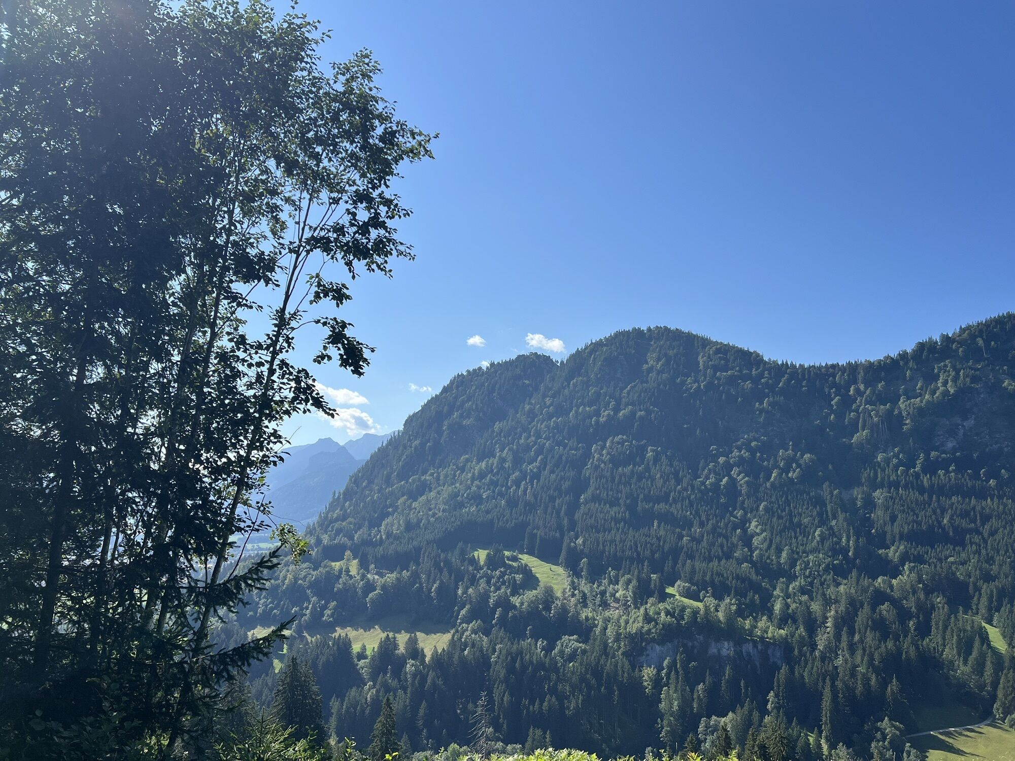
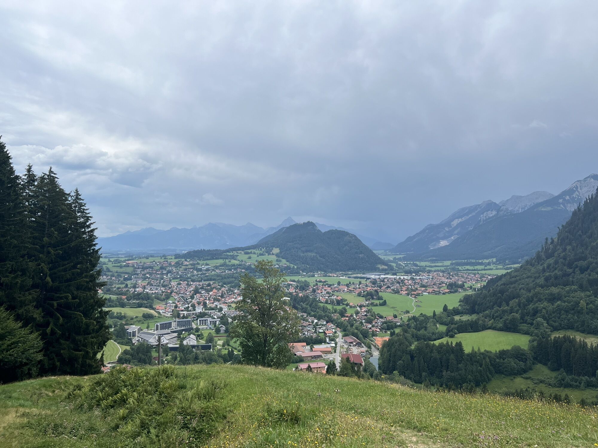
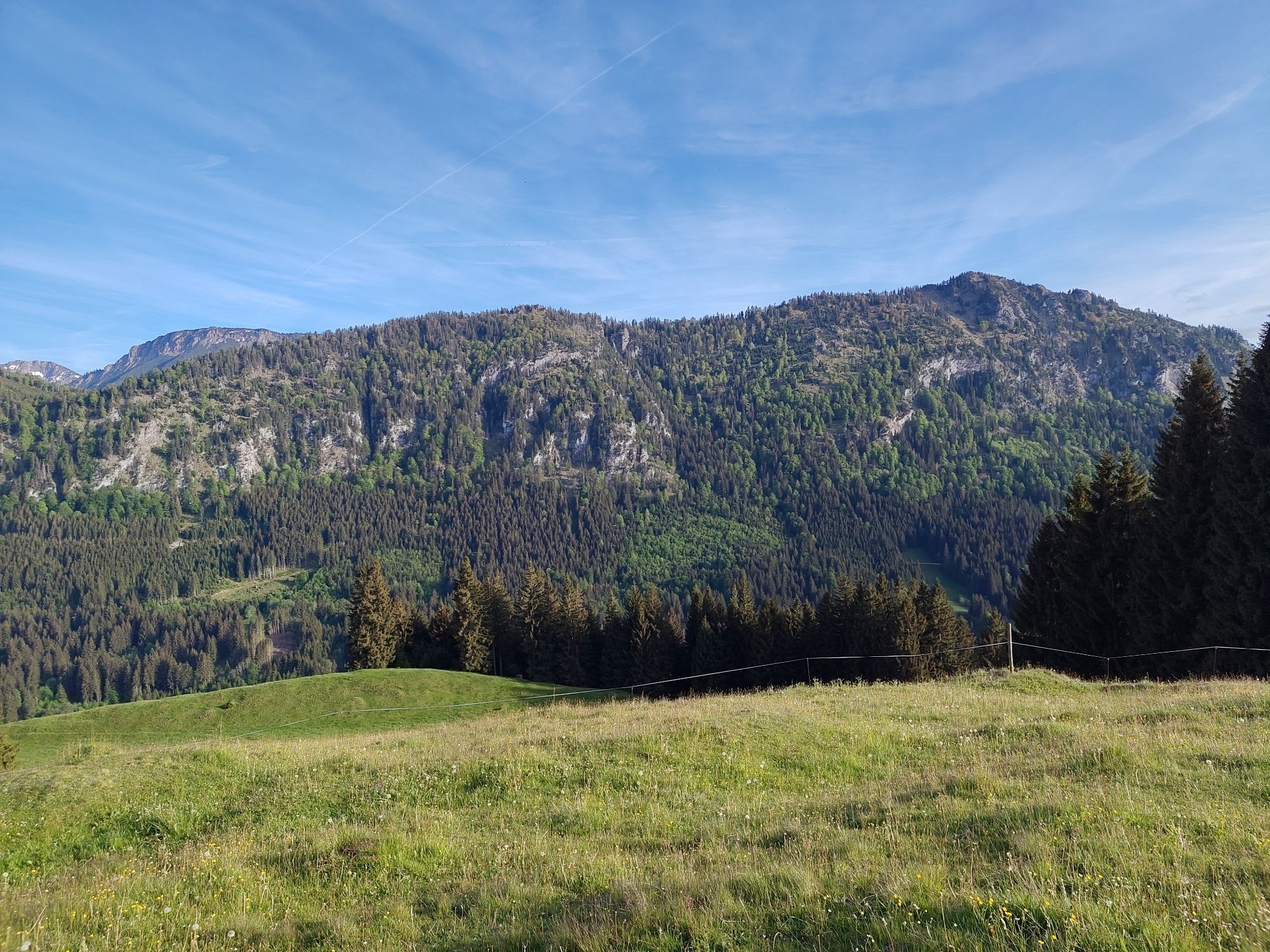
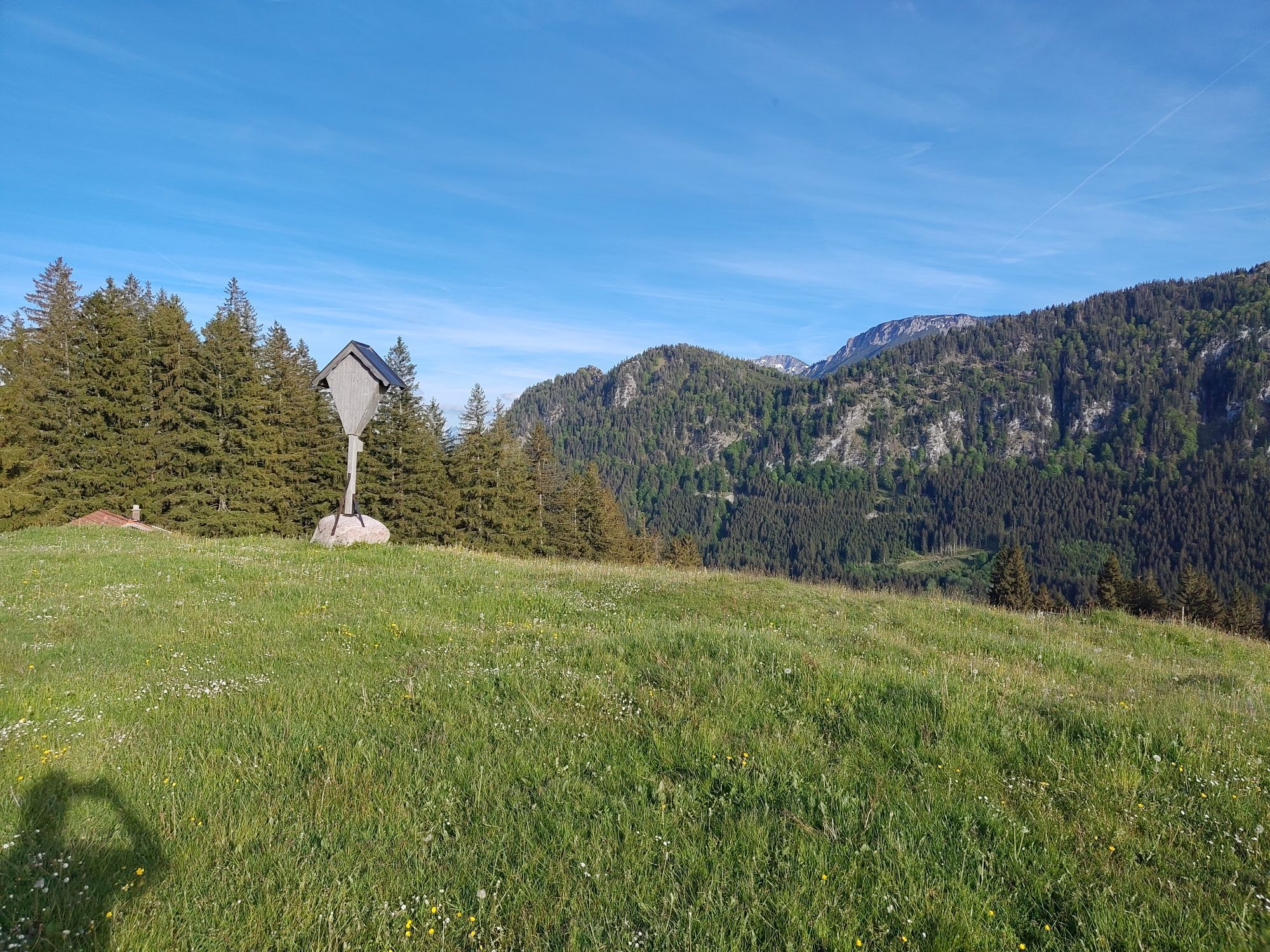
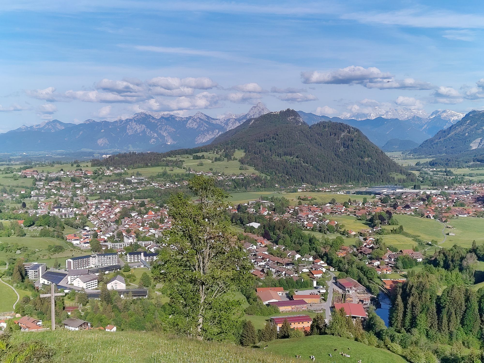
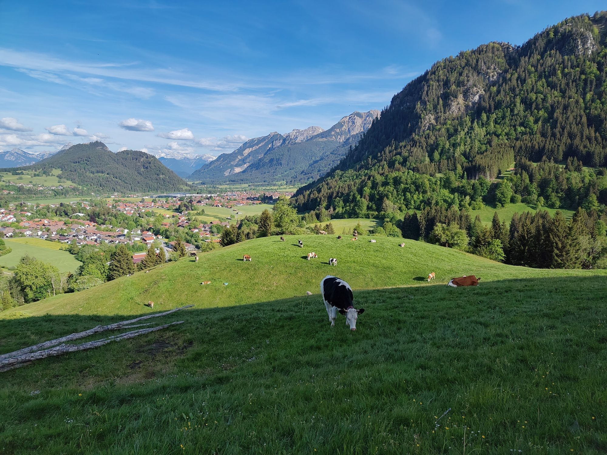
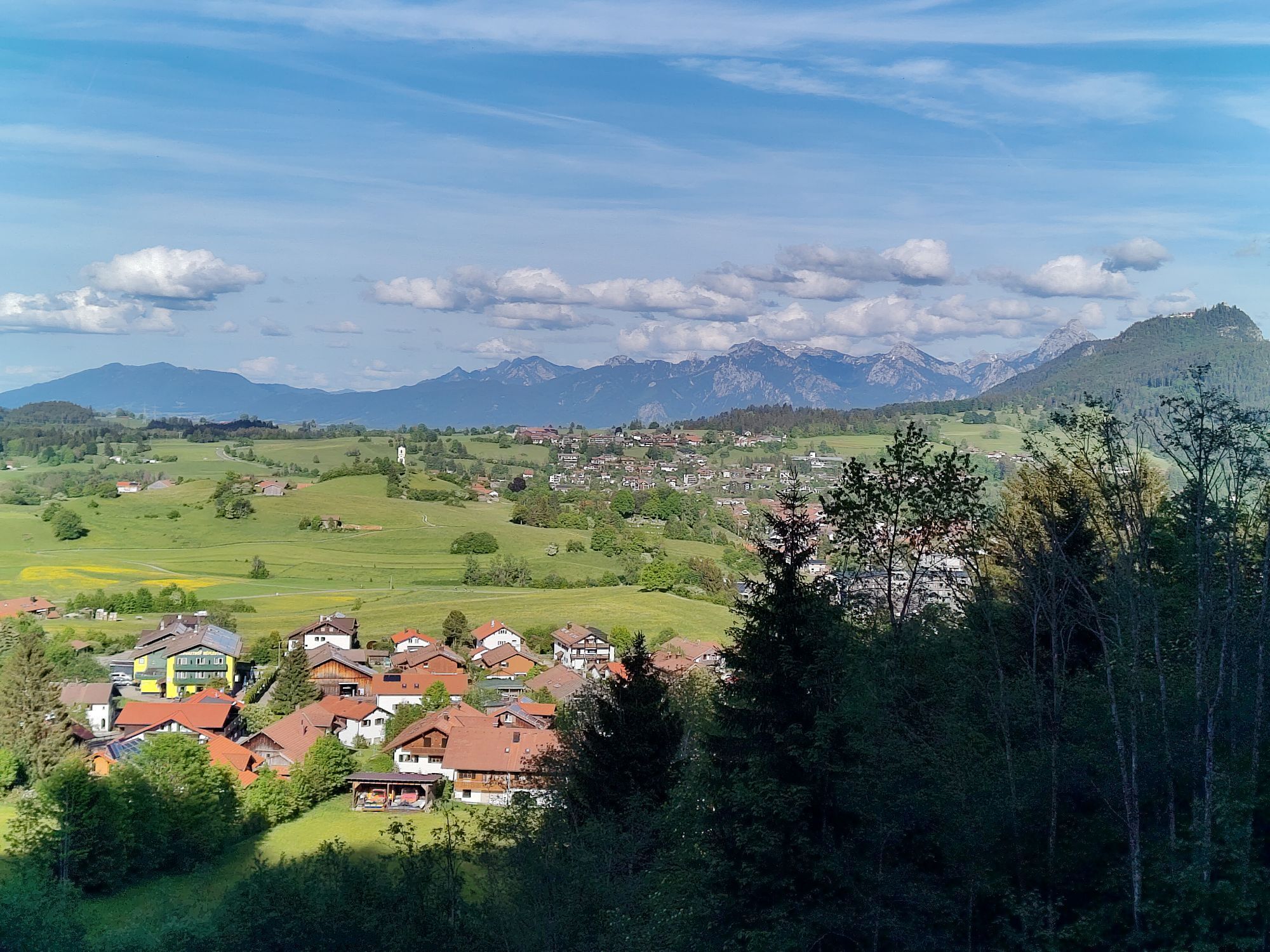
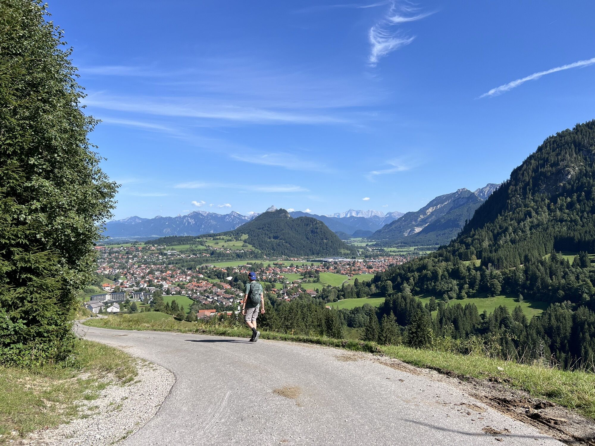

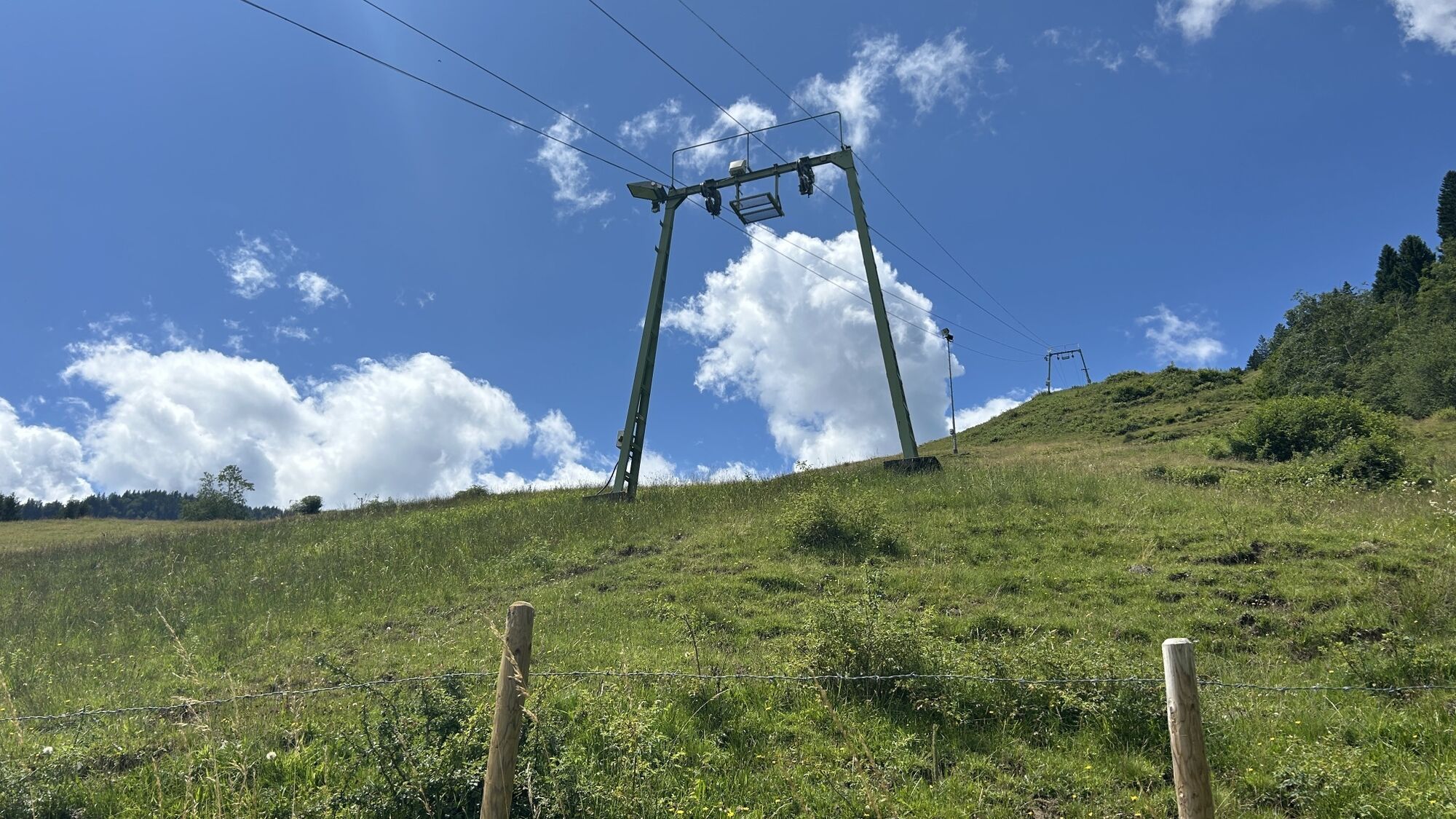

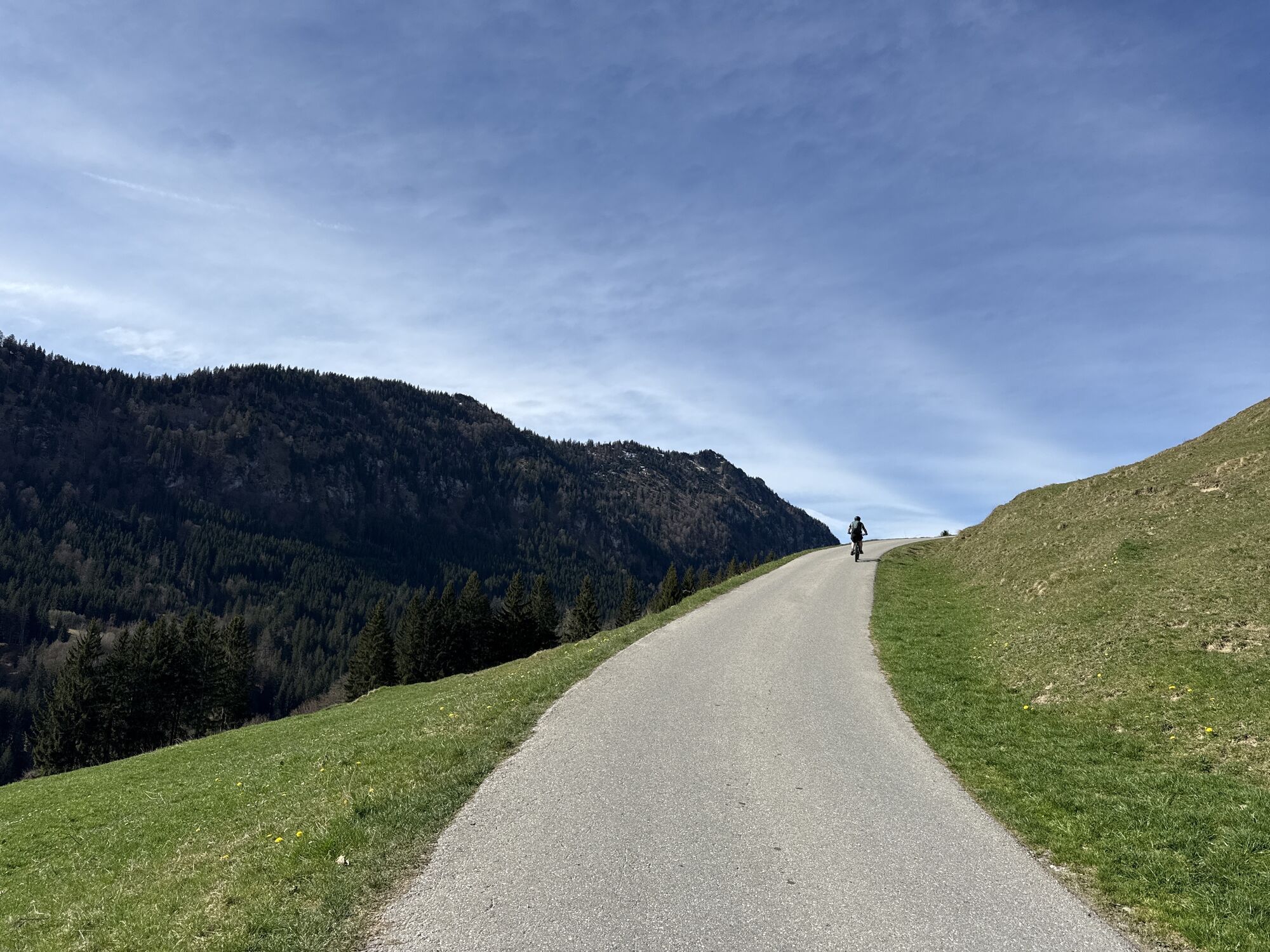
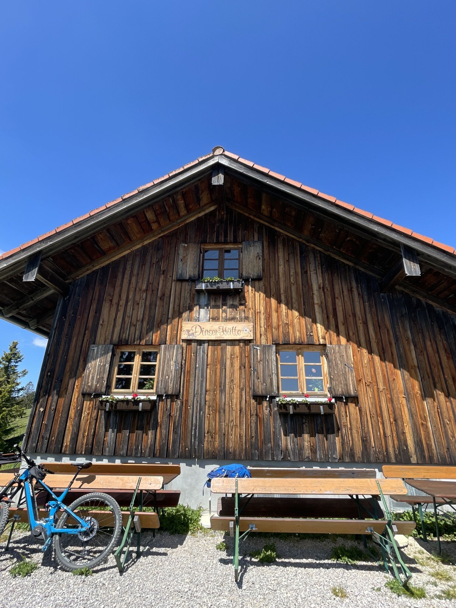
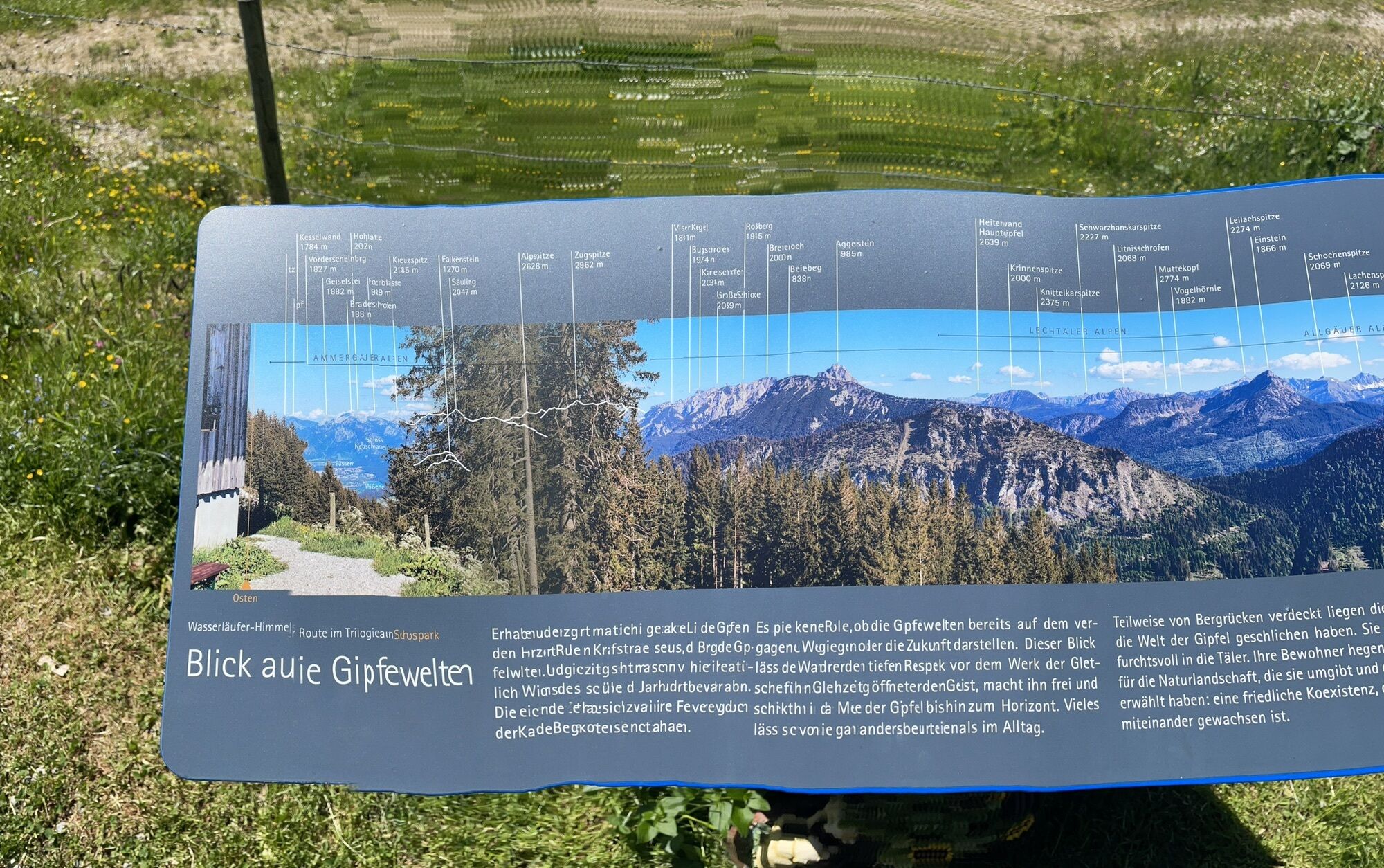
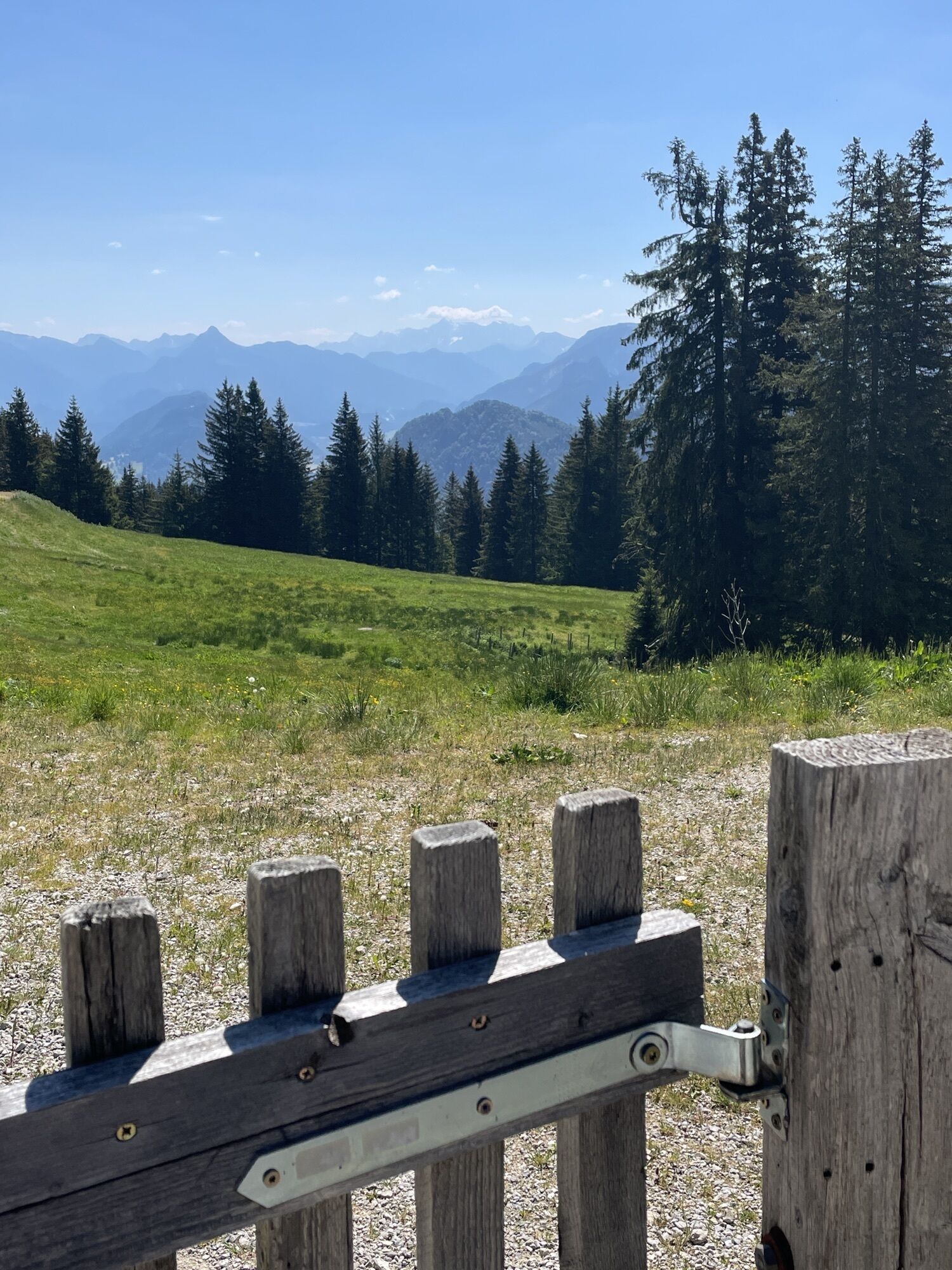
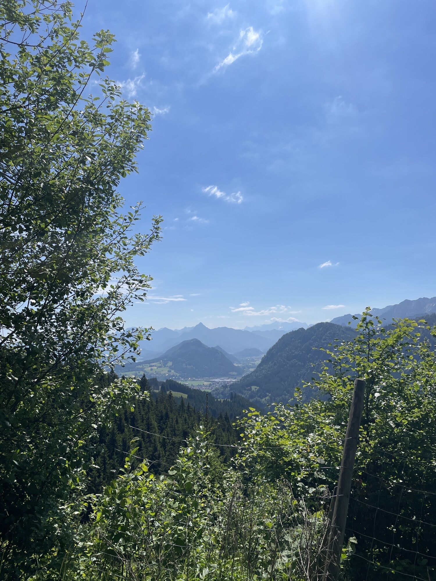

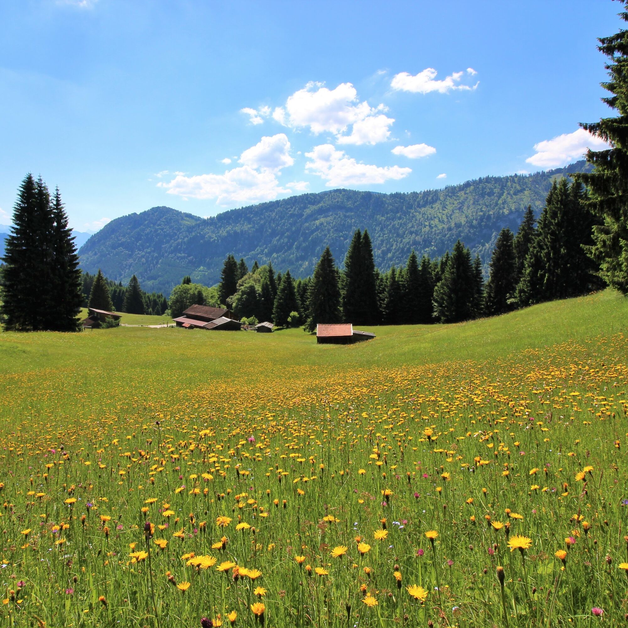
The varied hike on the Edelsberg offers dreamlike views of colorful mountain meadows and the Pfronten valley. After an initial climb, a beautiful high plateau opens up, which leads further into the lovely...
The varied hike on the Edelsberg offers dreamlike views of colorful mountain meadows and the Pfronten valley. After an initial climb, a beautiful high plateau opens up, which leads further into the lovely Allgäu Alps. The forest path continues upwards towards the Dinserhütte, where in the summer months a well-deserved snack awaits you.
The route can also be shortened to the Edelsberghütte.


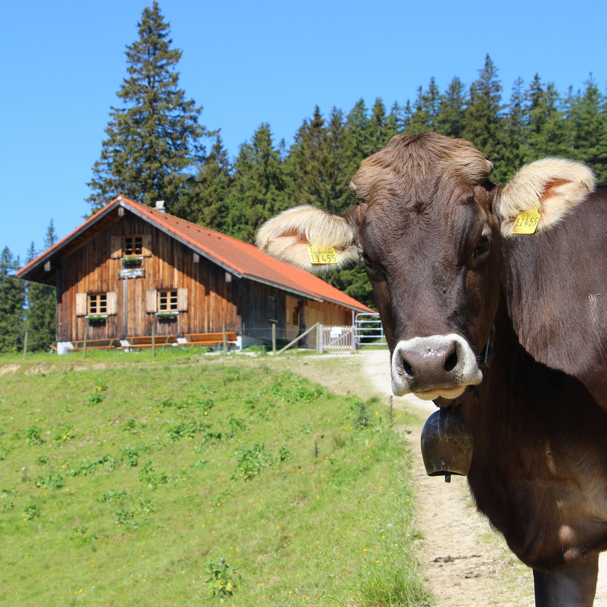
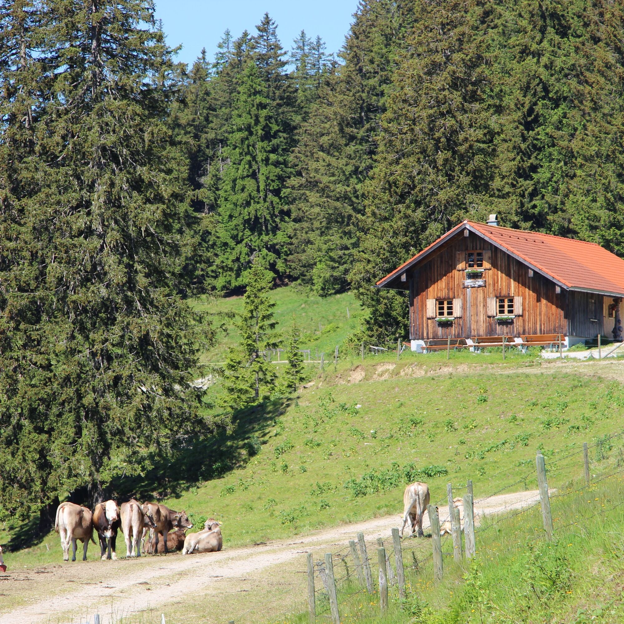
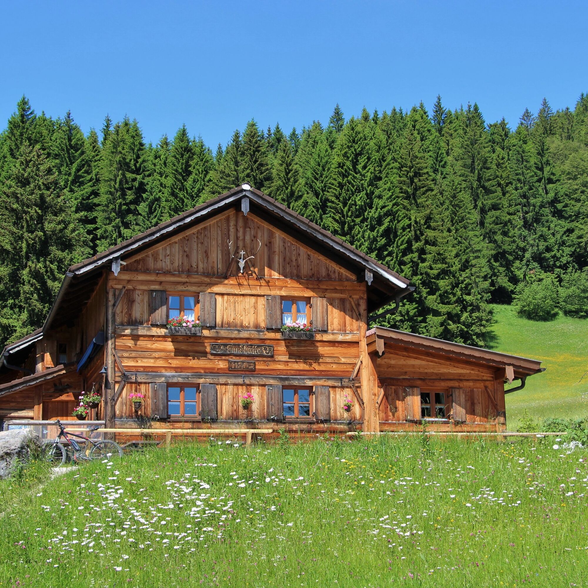
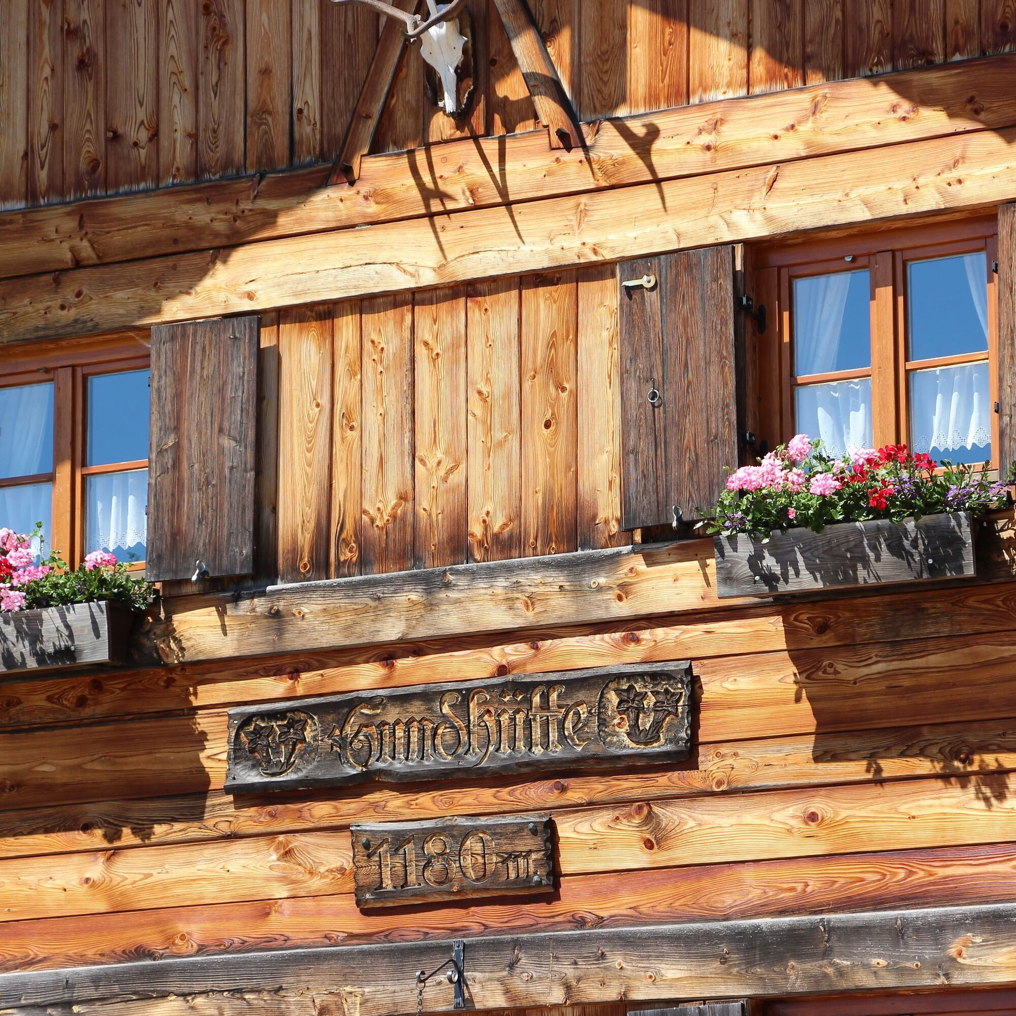
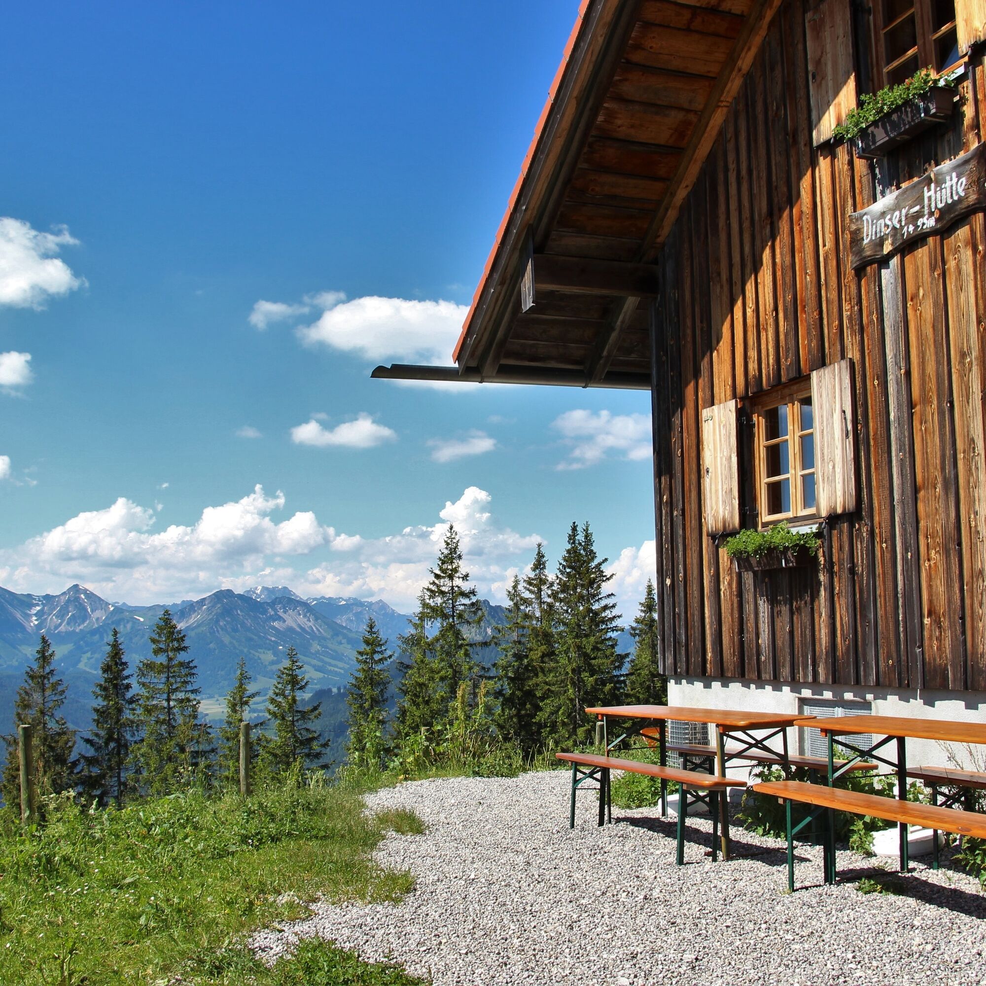

The hike starts at the parking lot of the Sonnenlifte Röfleuten over the ski slope in the direction of Edelsberghütte, before you turn left upwards onto the asphalt road. At the next fork, follow the hiking trail to the right towards Dinserhütte/Edelsberg. At the end of the trail, follow the gravel road to the left and then keep right towards Dinserhütte. The descent leads back via the Edelsberghütte to the starting point at the Sonnenlifte Röfleuten.
Áno
You can get a hiking map with the marked hiking trails at the tourist information, Vilstalstr. 2 in Pfronten.
B309 - Peter-Heel-Str. - Edelsbergweg
Public transport to Pfronten-Halden
Sonnenlifte Röfleuten/fire station
Be sure to note the opening hours of the Dinser- and Edelsberghütte. The Dinserhütte is only staffed from June to early September.


Webové kamery z prehliadky
-
Skizentrum Steinach / Pfronten
-
Pfronten-Halden / Hotel Zugspitzblick
-
Pfronten - Boutique Hotel Blaue Burg Falkenstein
-
Nesselwang - Alpspitzbahn Mittelstation
-
Pfronten - Ostlerhütte
-
Nesselwang - Alpspitzbahn Sportheim Böck
-
Nesselwang - Alpspitzbahn Talstation
-
Breitenbergbahn - Pfronten
-
Pfronten - Skizentrum
-
Jungholz - Am Hof

Aktivity počas prehliadky

Obľúbené výlety v okolí
-
4,9
Hiking tour to Breitenberg
ťažkéTuristika 15,6 km -
4,7
Mountain hike to the Aggenstein
ťažkéTuristika 15,3 km -
4,7
Panorama route to the Ostlerhütte
strednáTuristika 5,11 km -
4,6
Around Weißensee
svetloTuristika 6,12 km -
4,9
Gemeinde Grän, Tirol/Österreich Aggenstein Rundtour über Höhenweg
strednáTuristika 9,84 km -
4,8
To the Bad Kissinger Hut via the Gräner Höhenweg
strednáTuristika 13,0 km -
3,9
Klassikertour: Auf den Grünten
ťažkéTuristika 8,50 km -
4,8
Iseler und Kühgundkopf
strednáTuristika 7,63 km -
4,7
3-Gipfel-Tour
strednáTuristika 11,2 km -
4,0
Vana Reuter
strednáTuristika 9,03 km
Turistika a stopovanie


Nenechajte si ujsť ponuky a inšpiráciu na ďalšiu dovolenku
Vaša e-mailová adresa bol pridaný do poštového zoznamu.





