







Circular hike to Aggenstein from the mountain station Breitenbergbahn
Úroveň náročnosti: T3
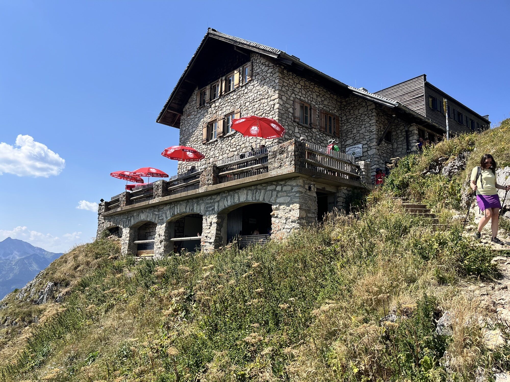
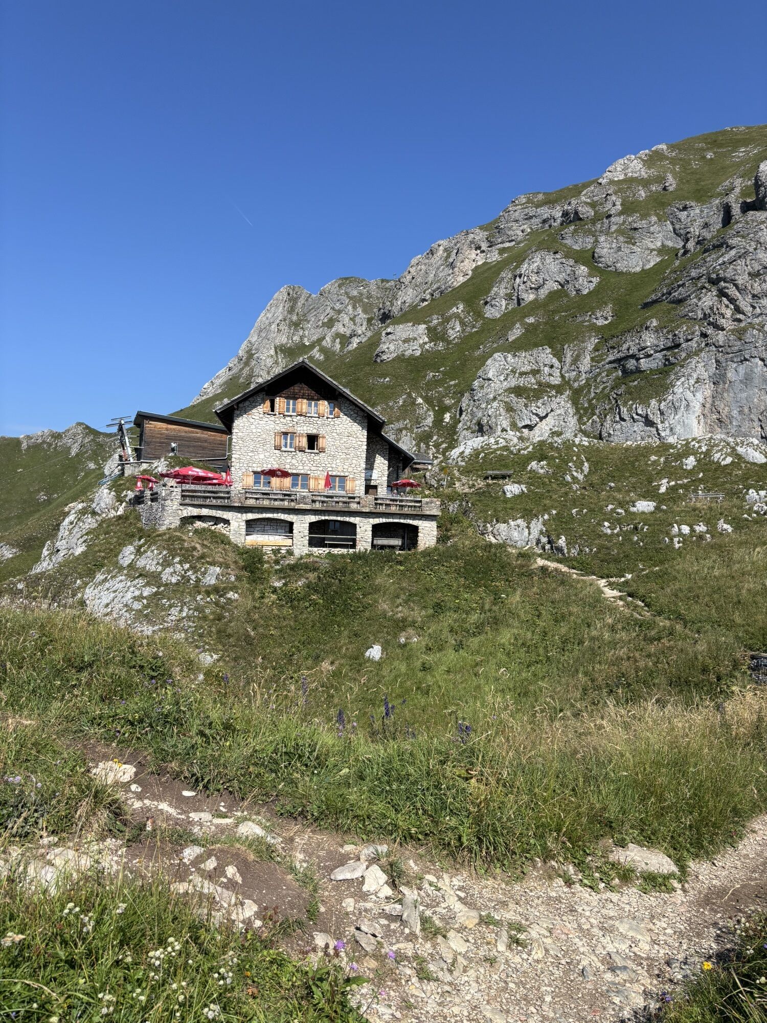
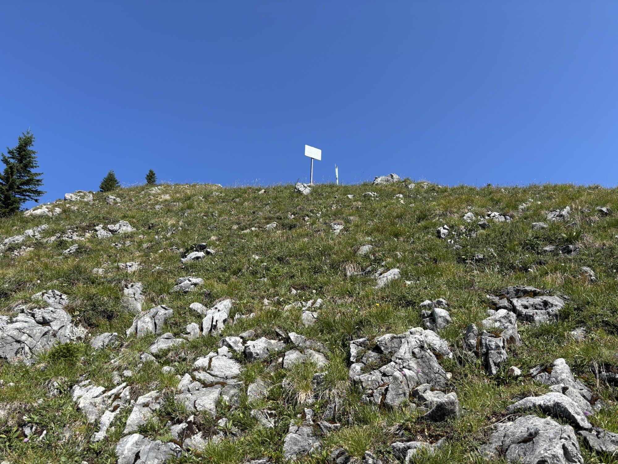
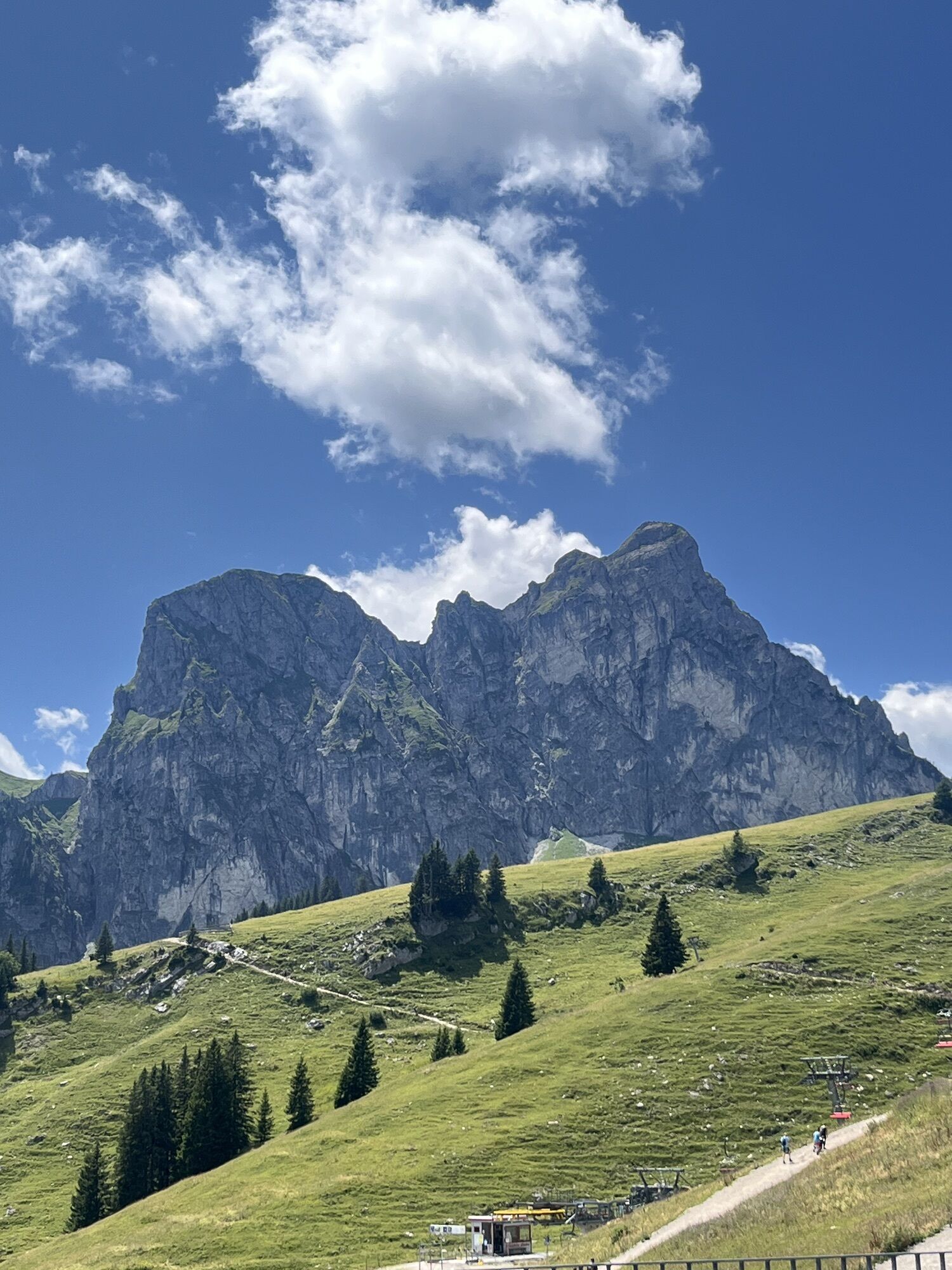
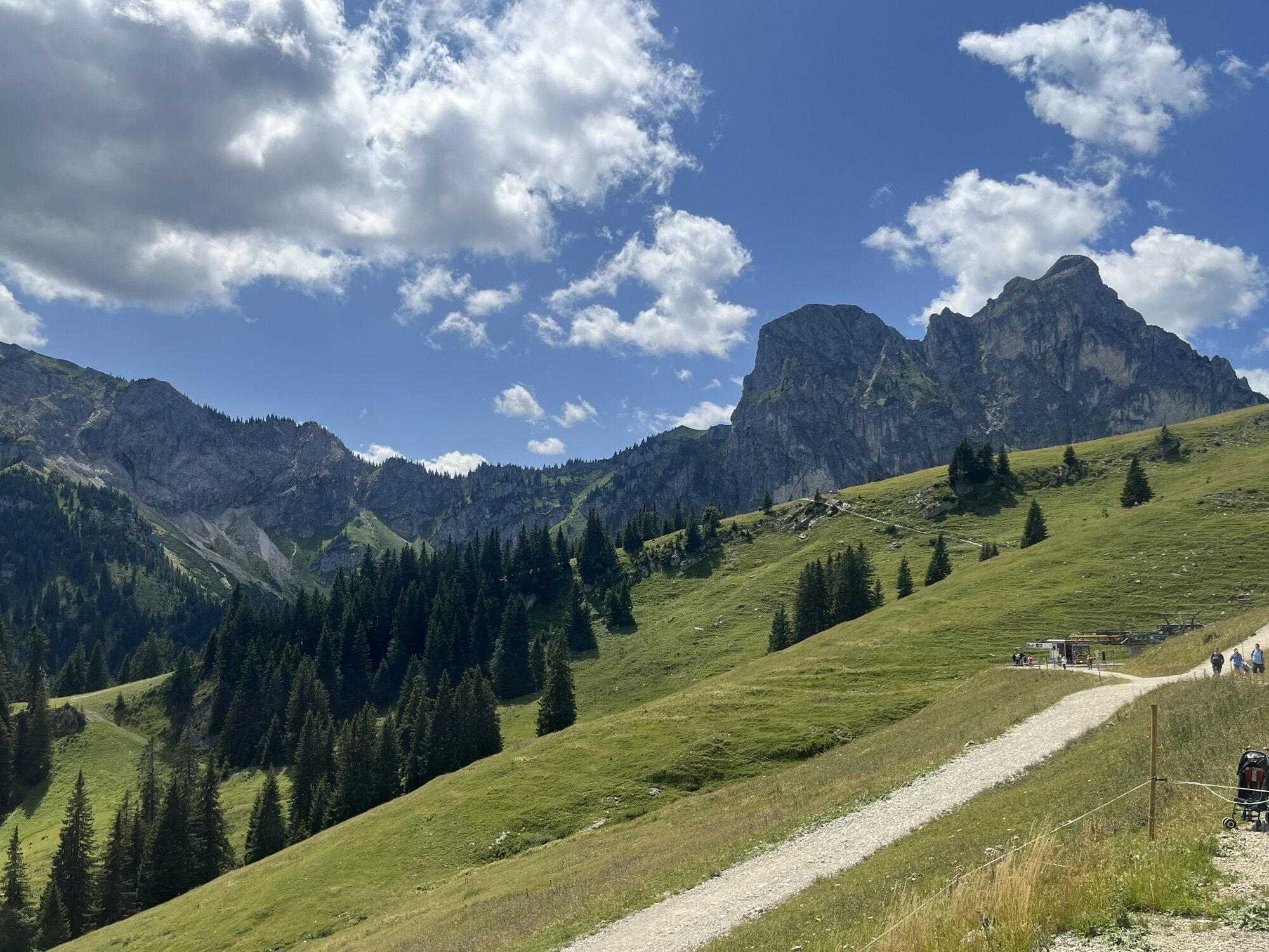
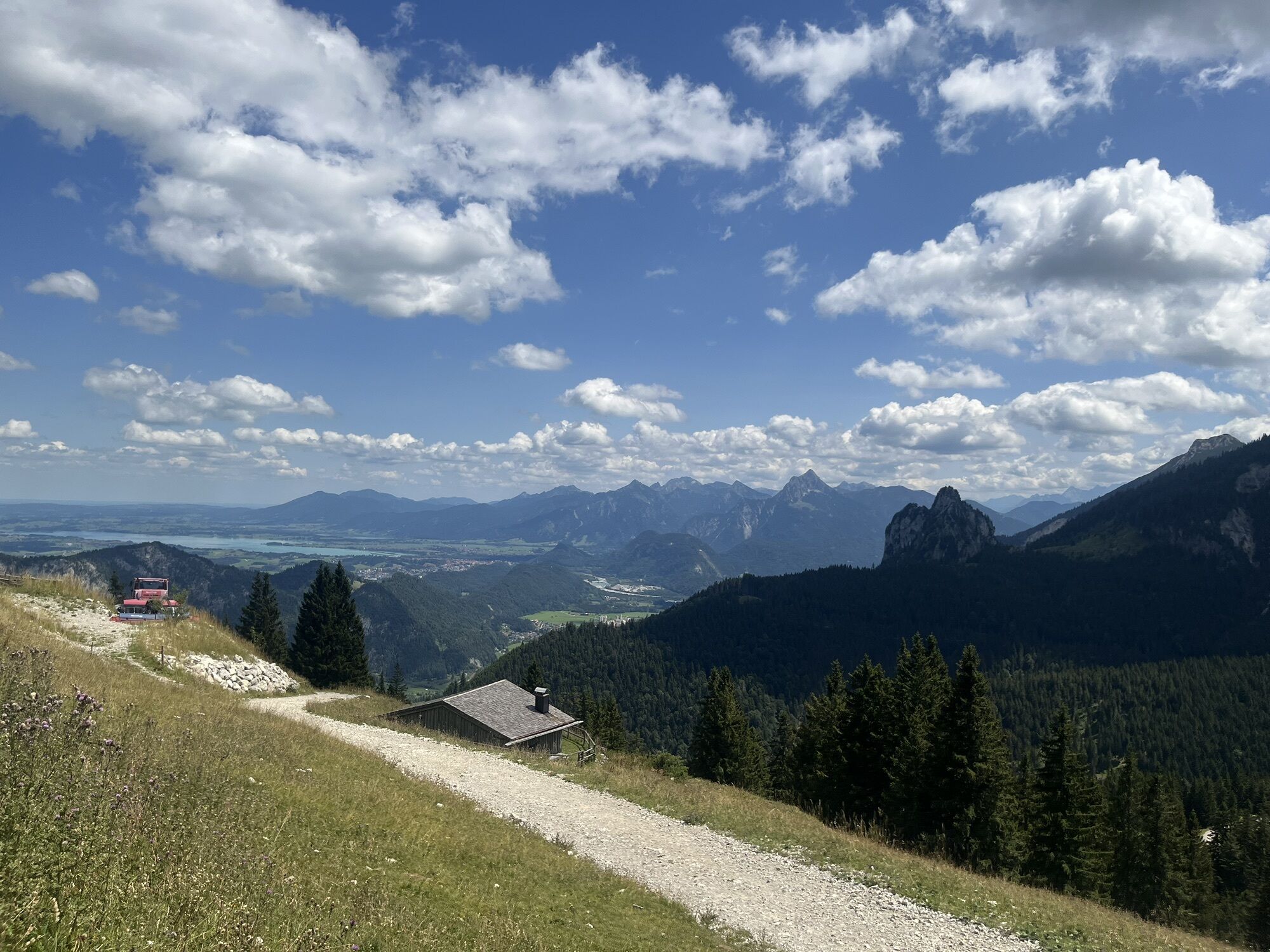
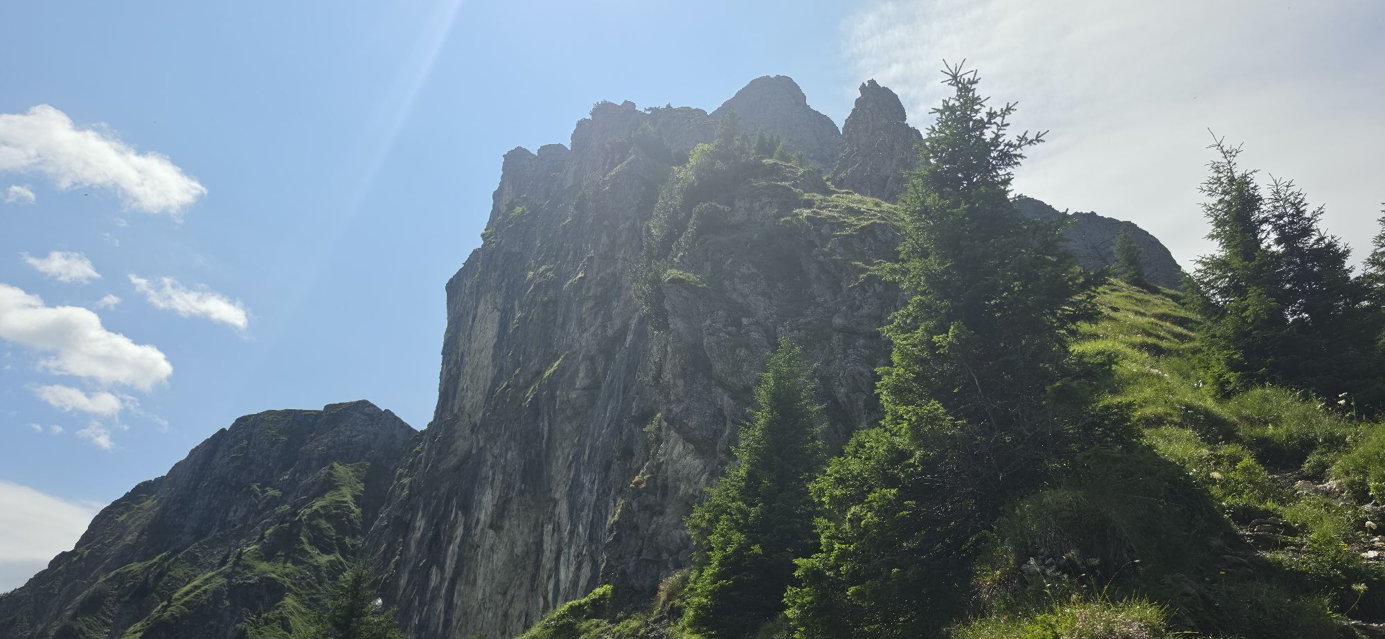
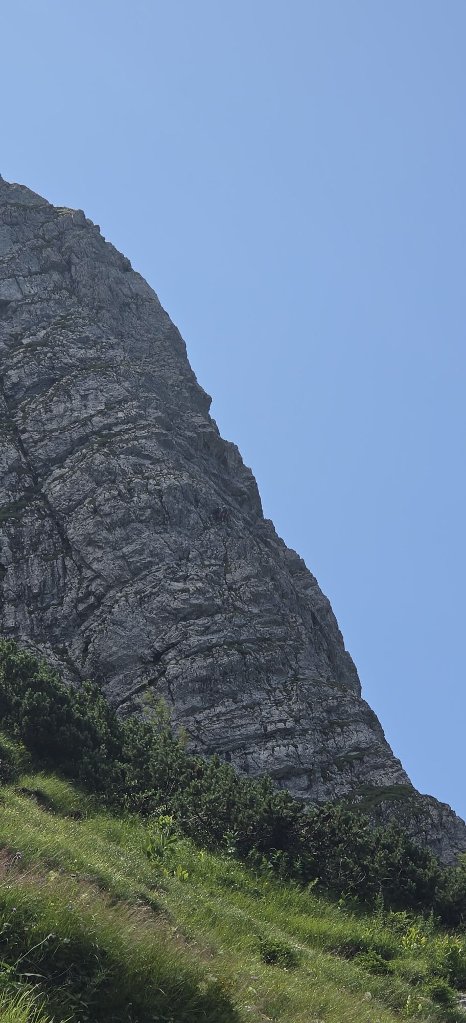
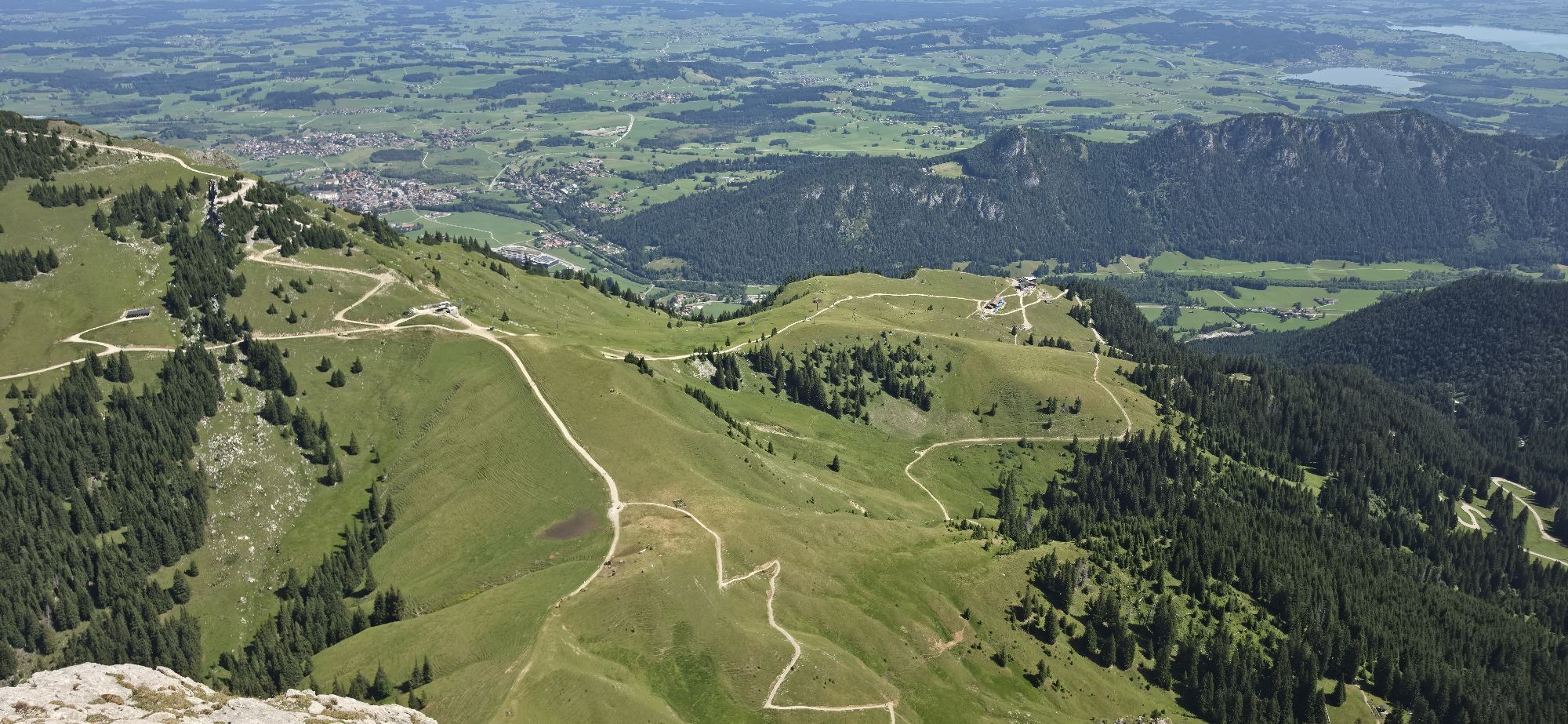
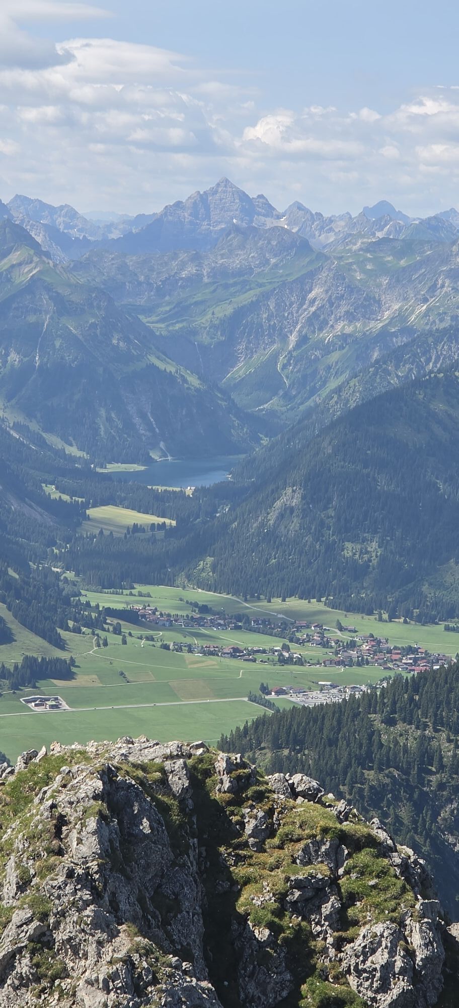
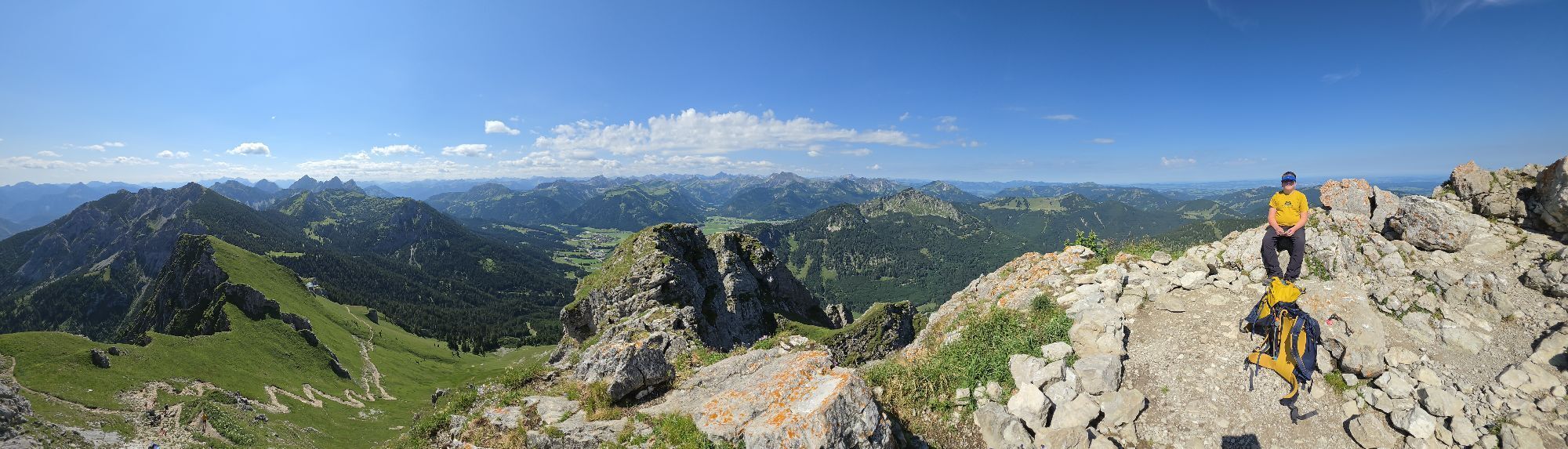
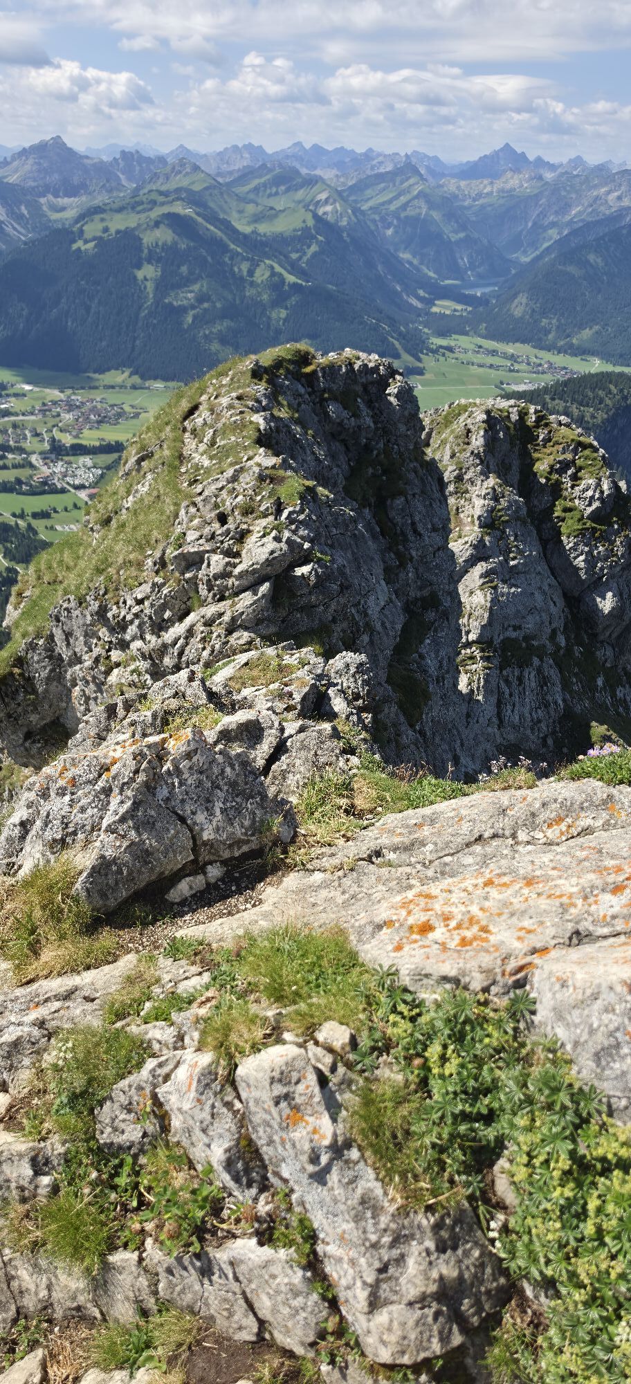
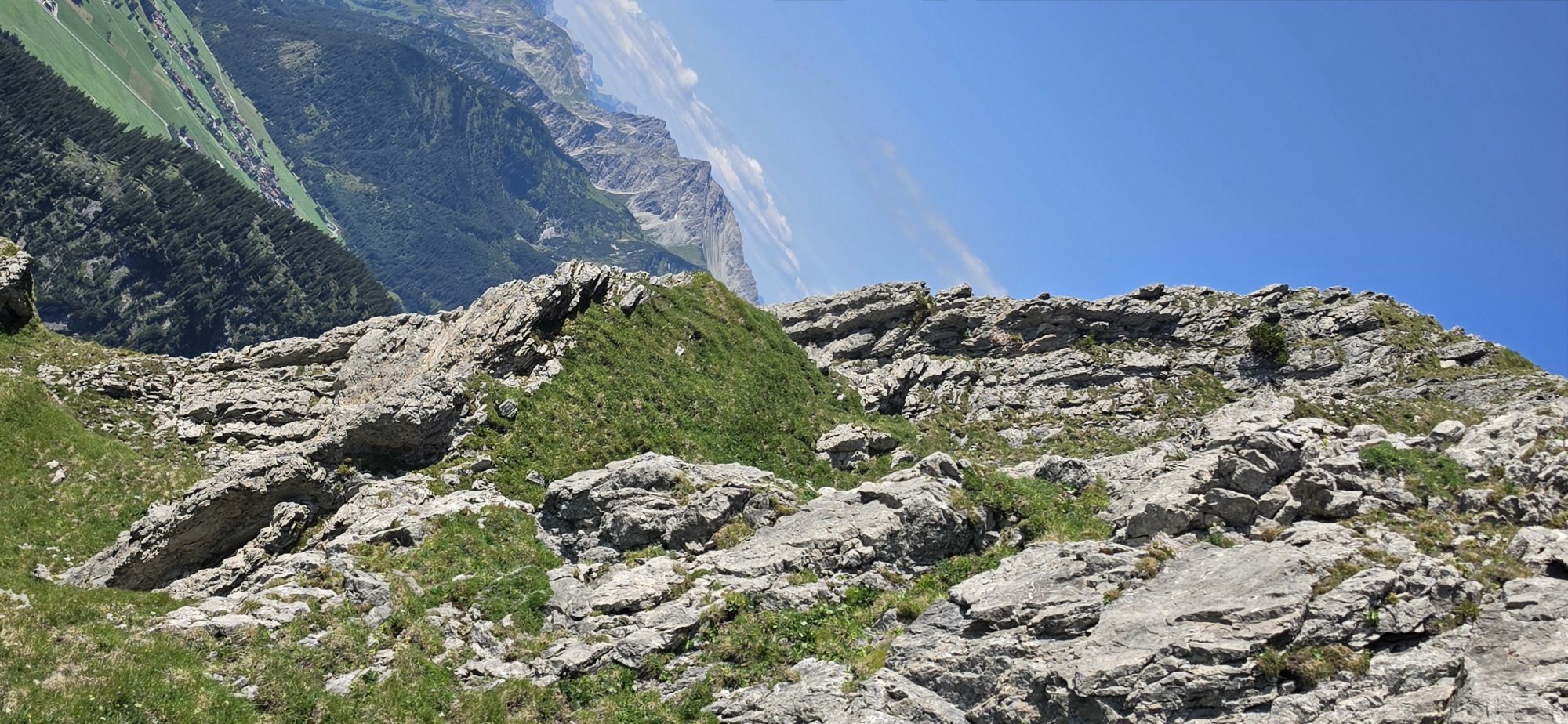
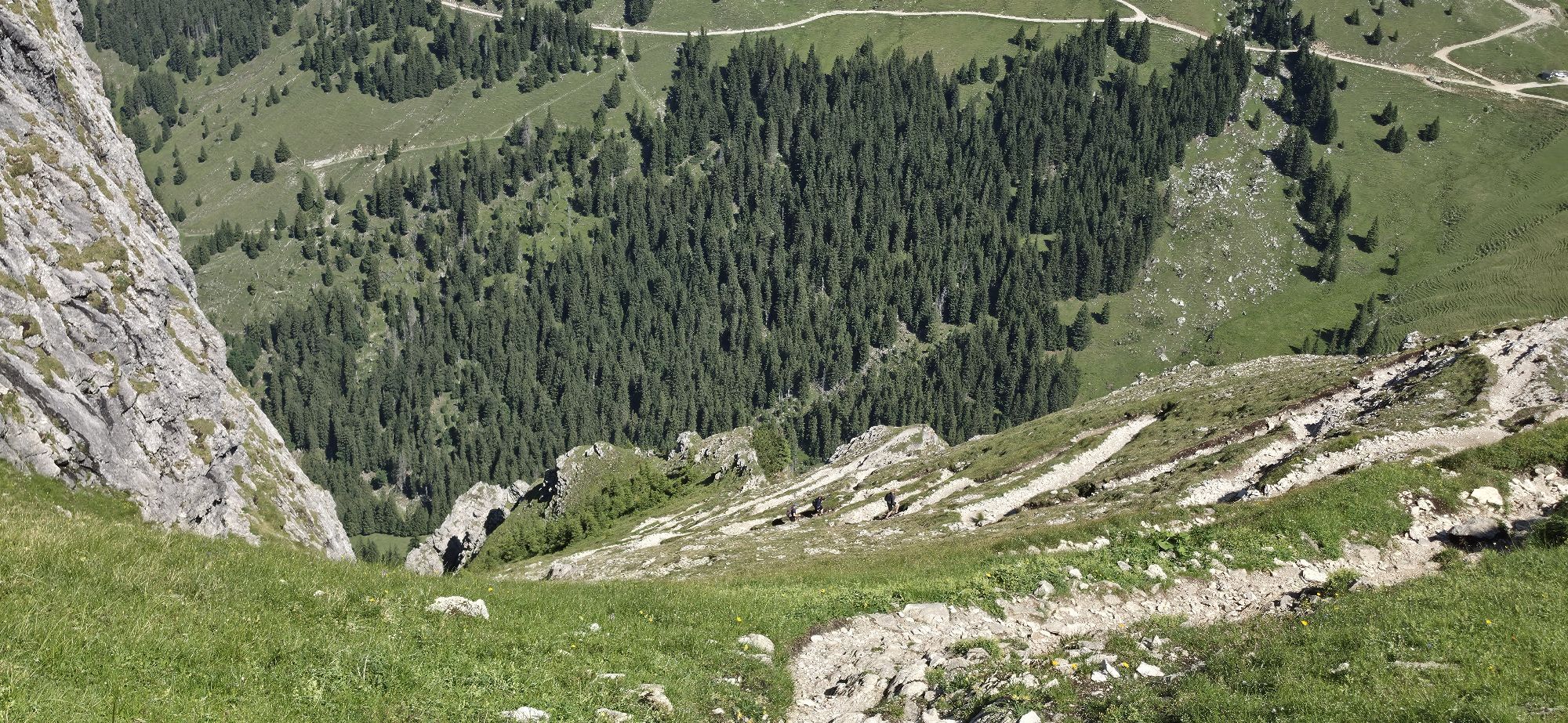
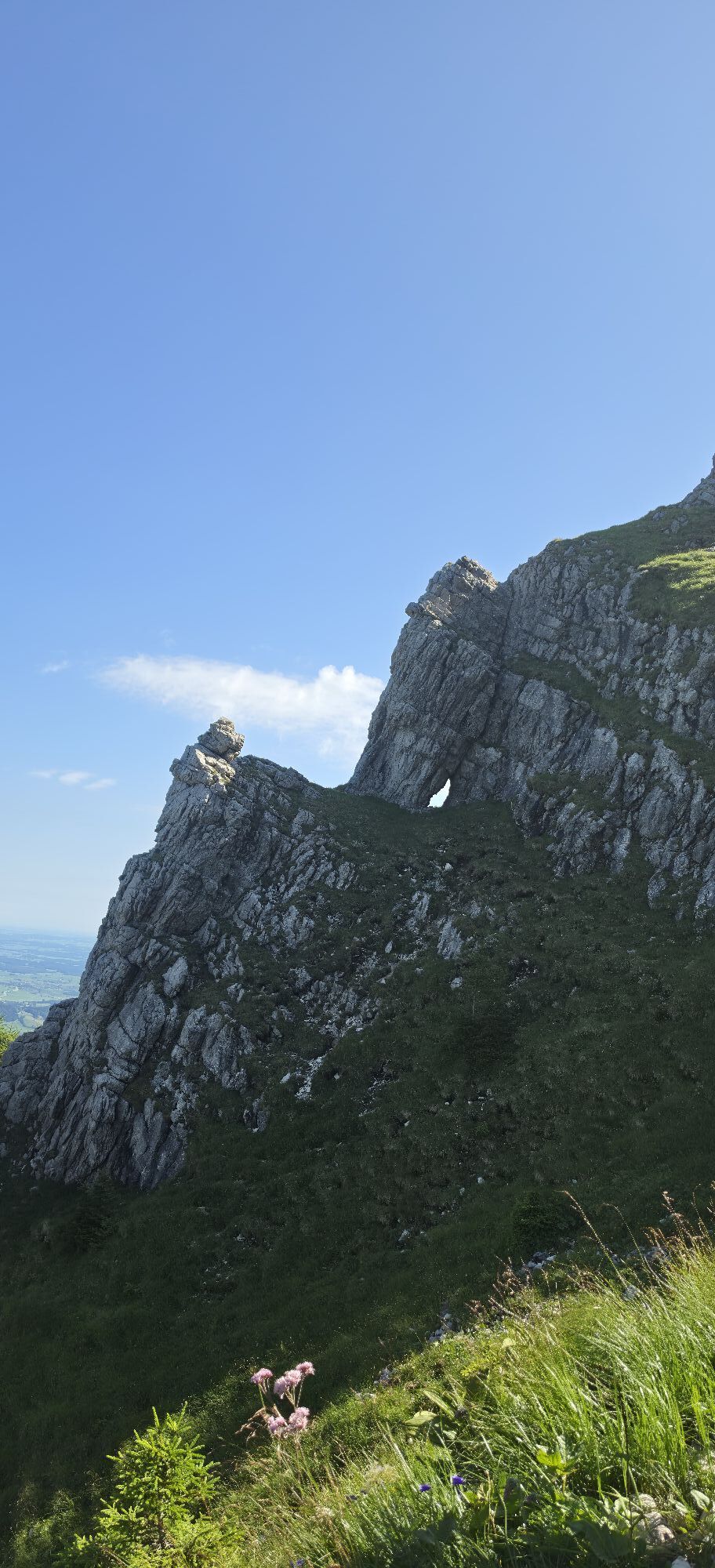
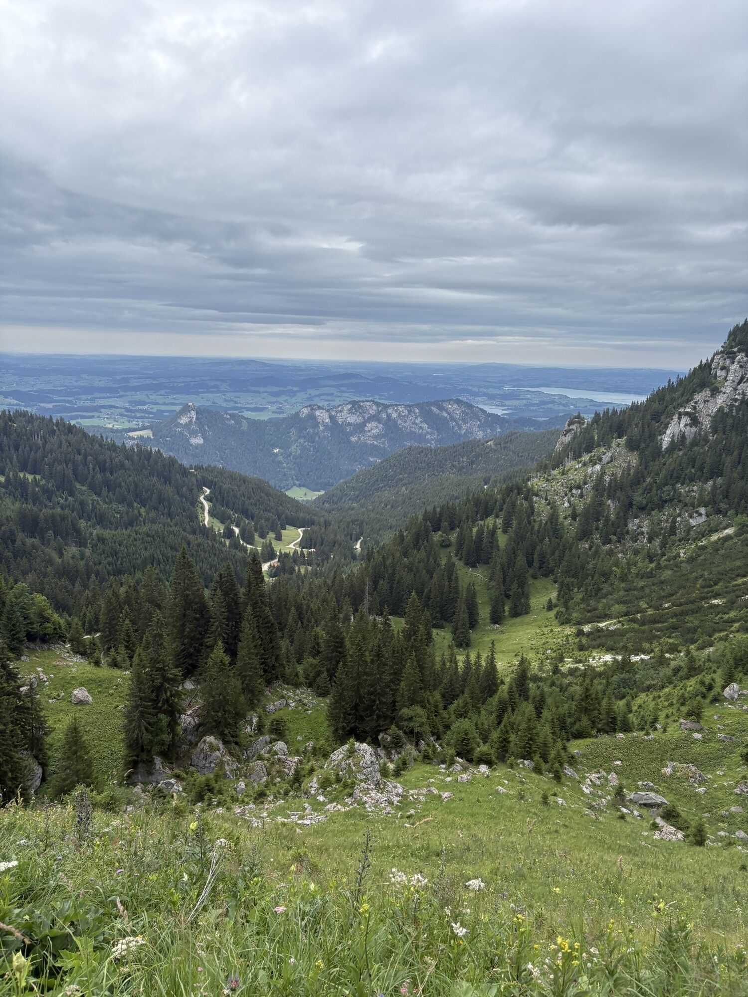
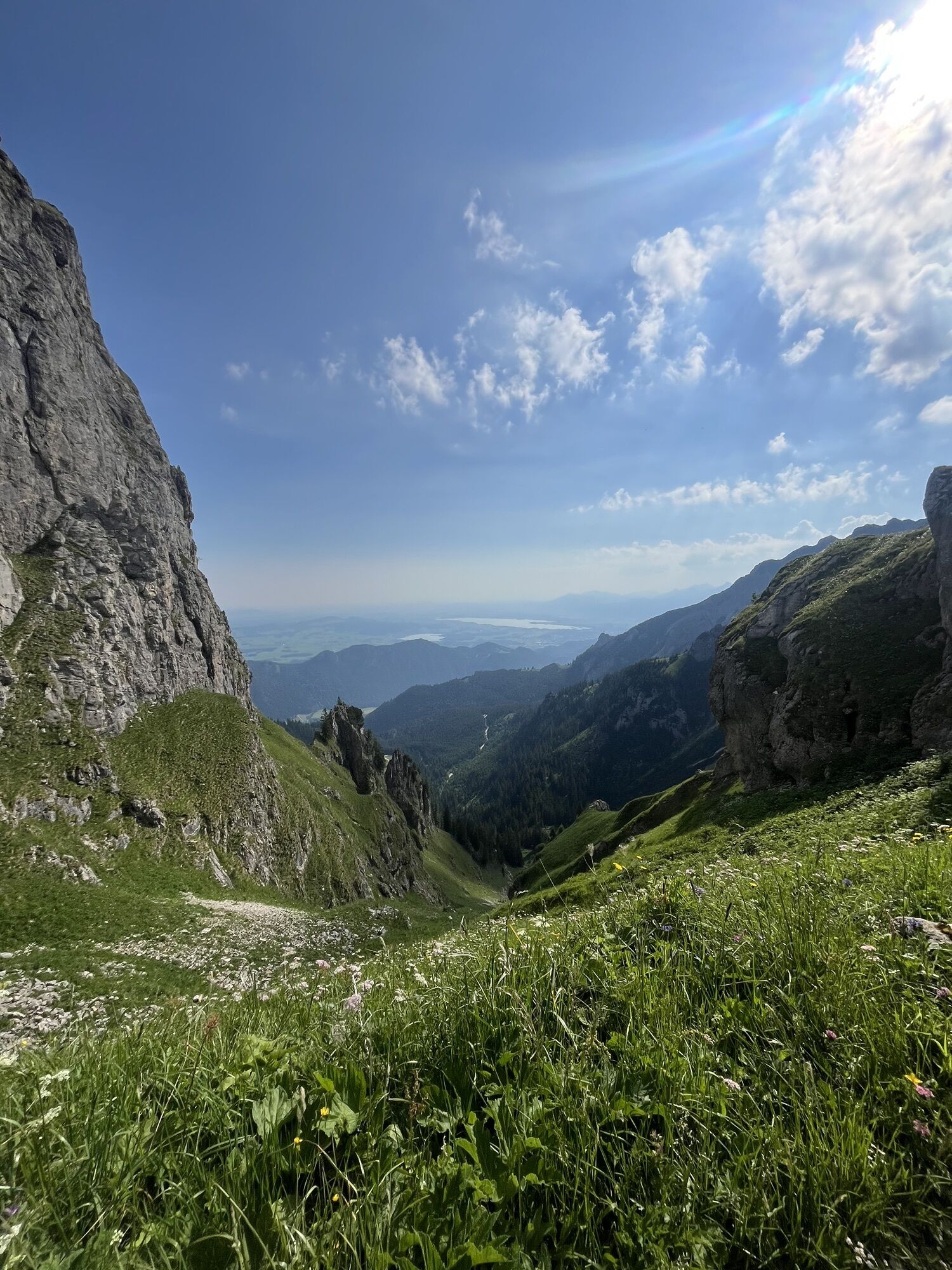
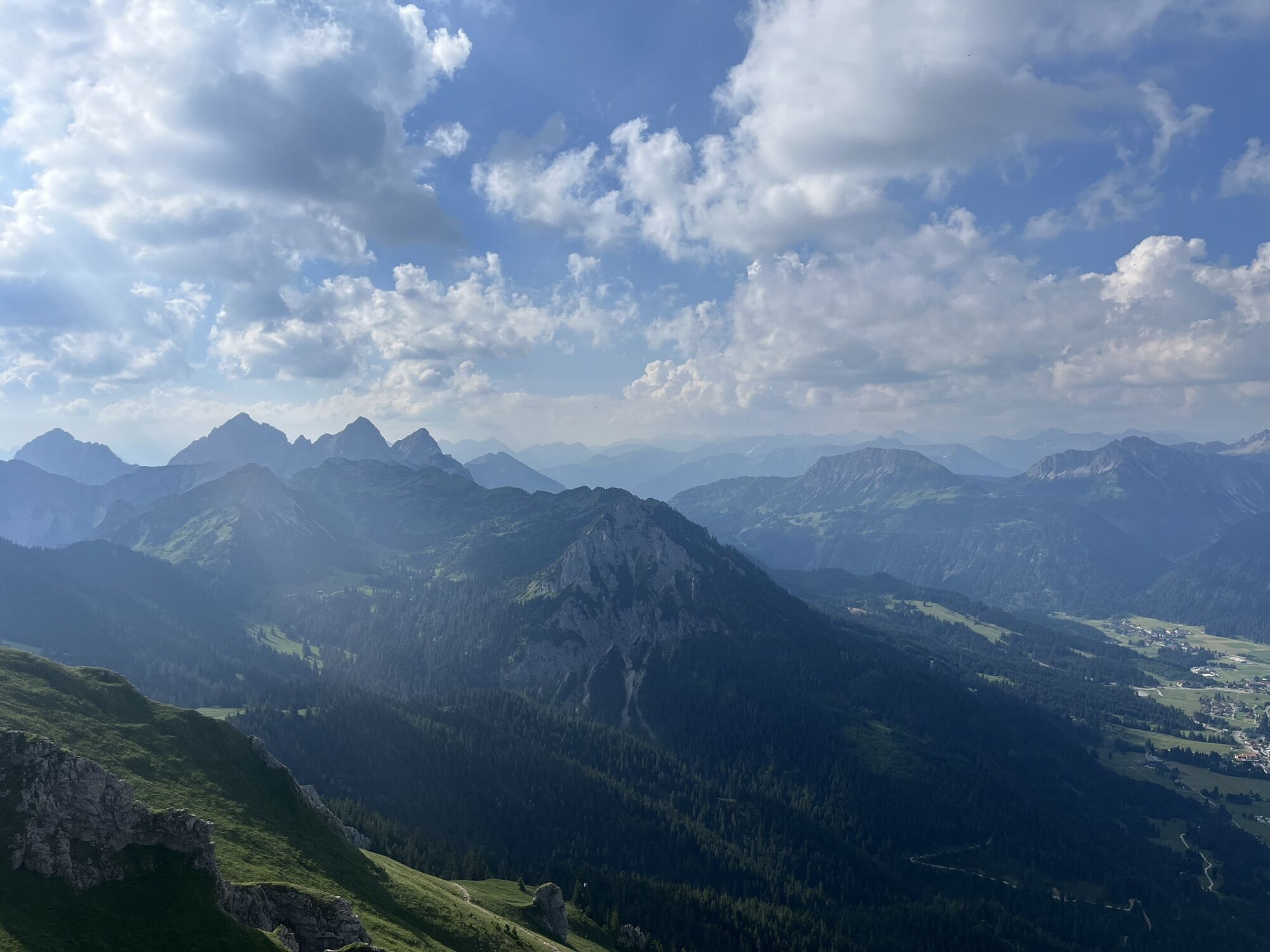
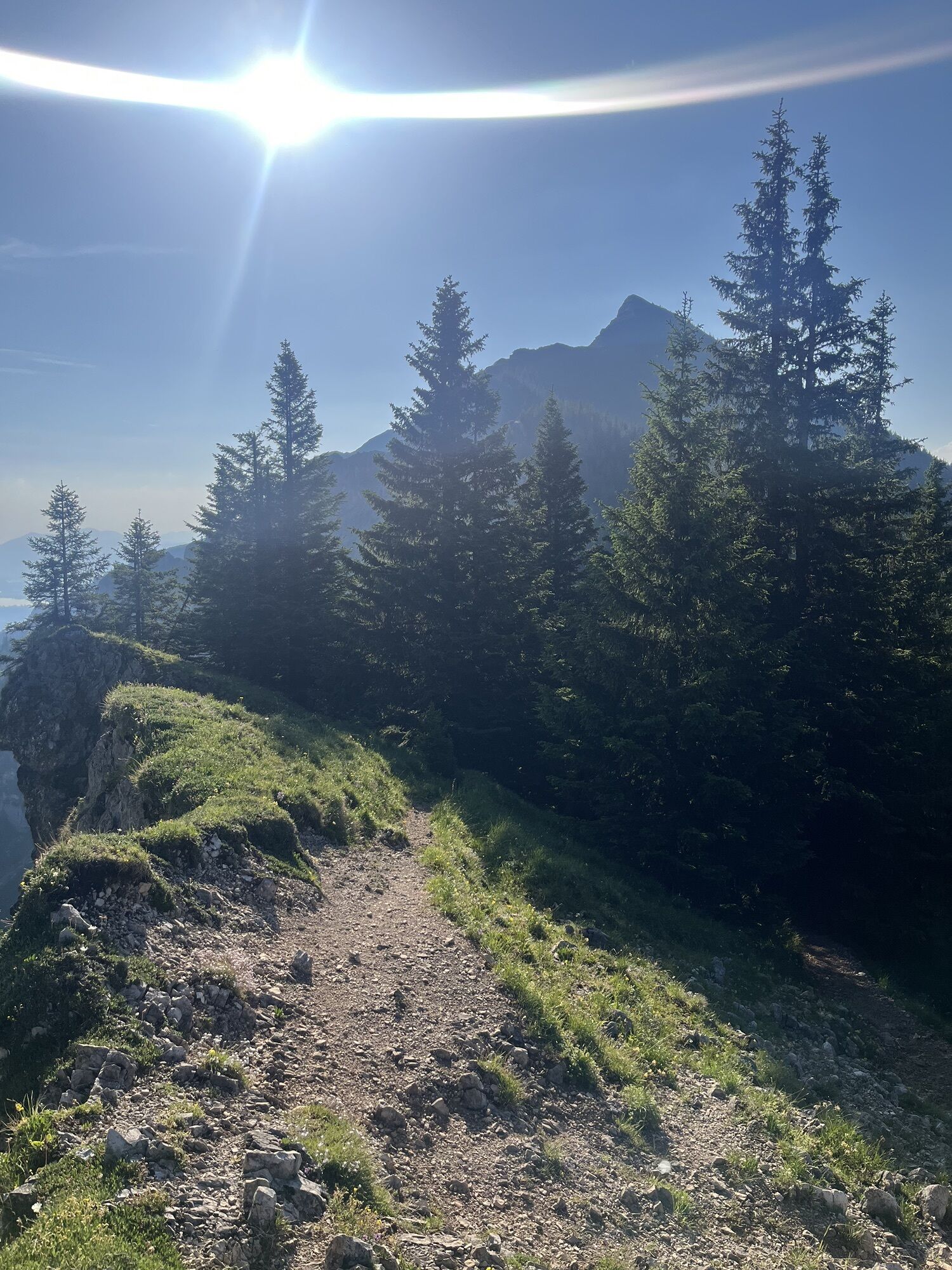
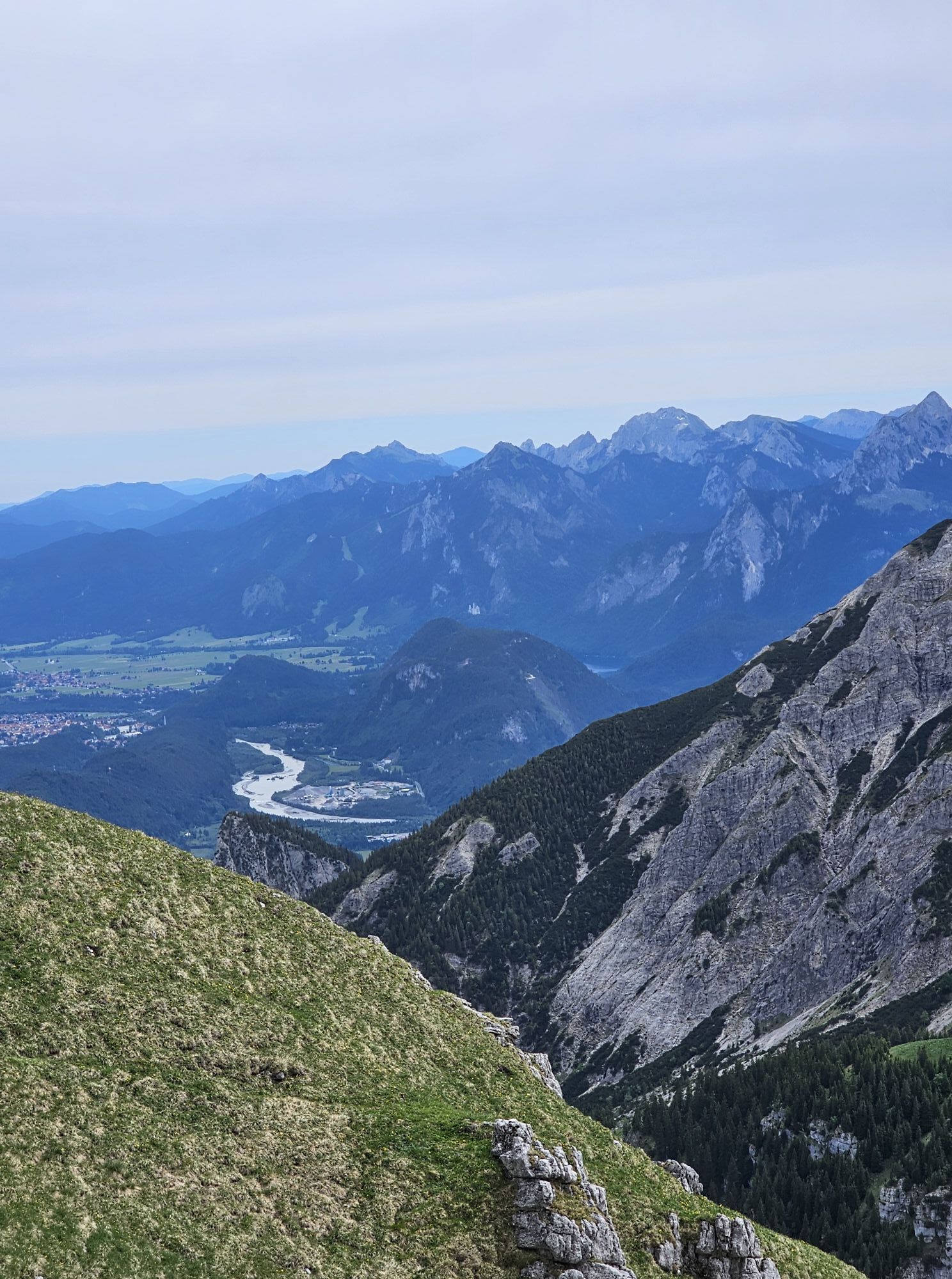
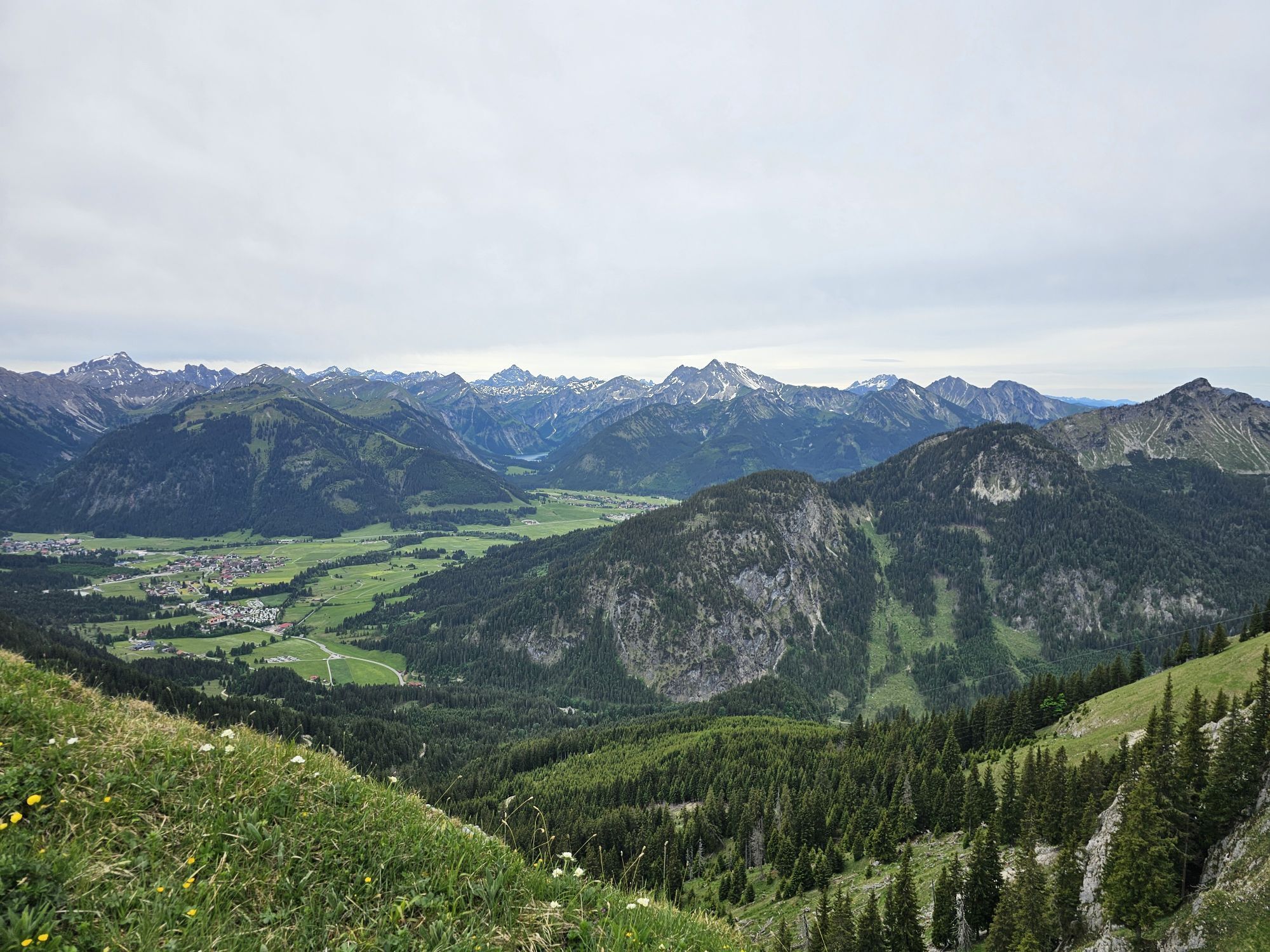
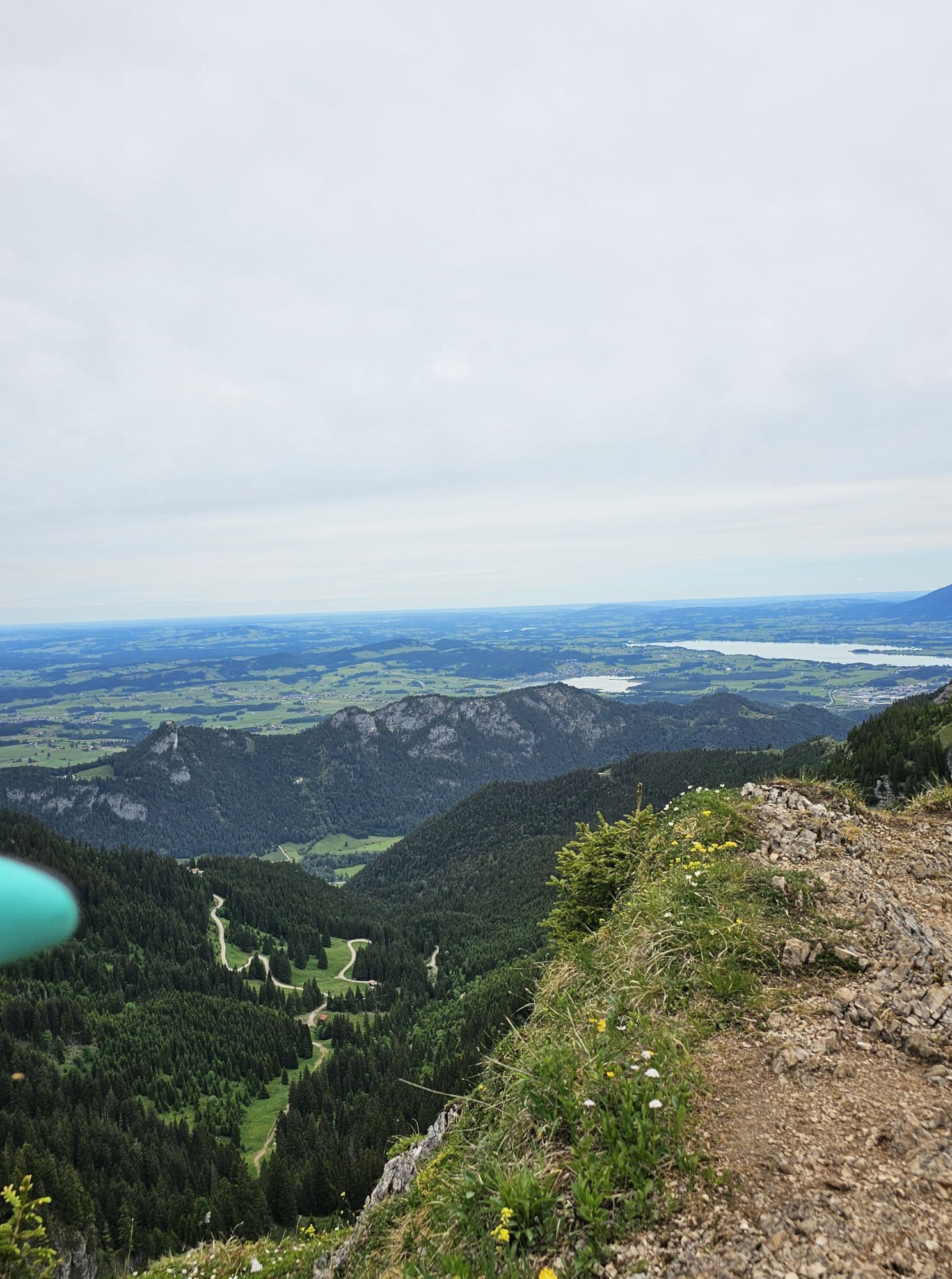
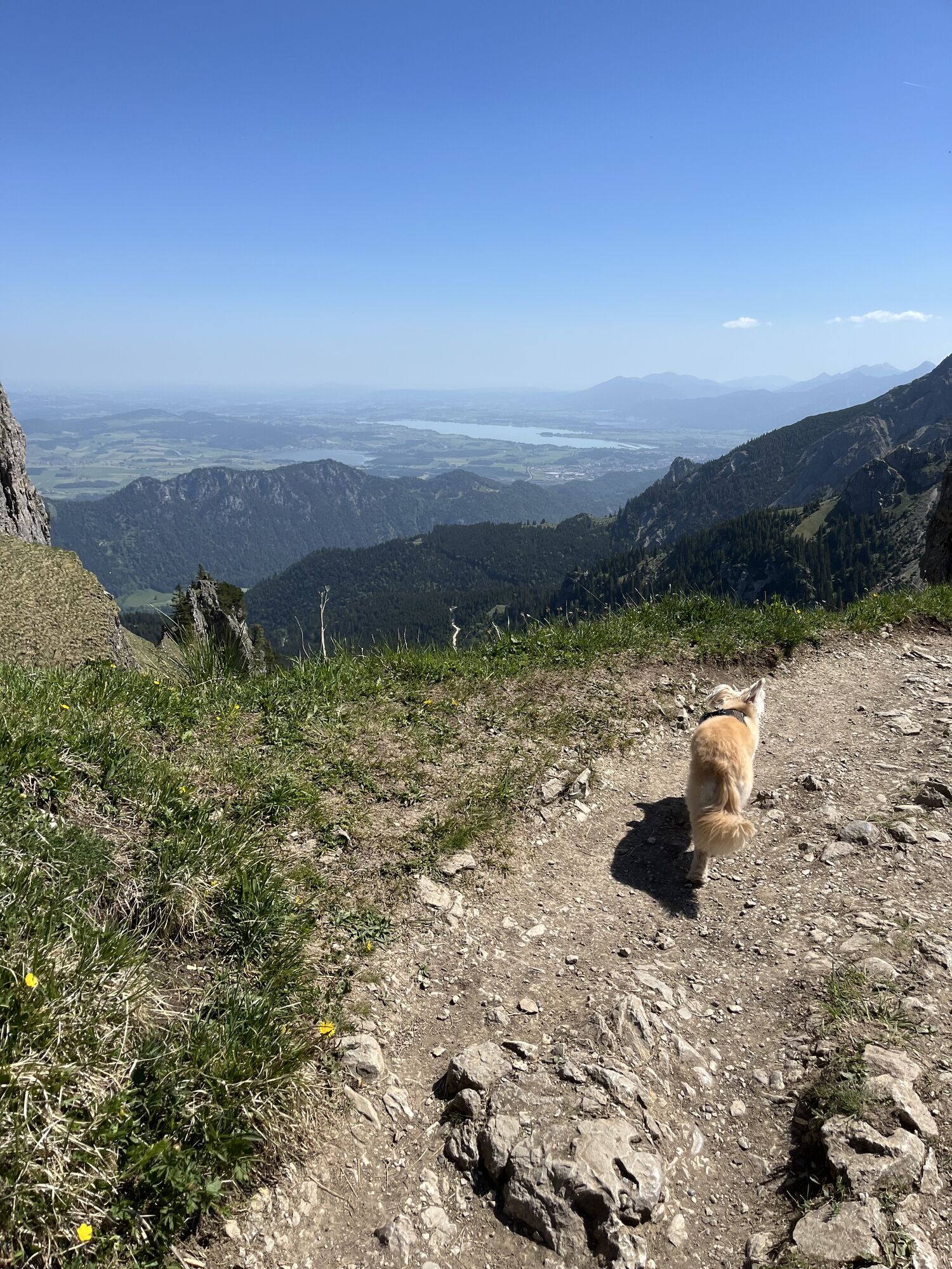
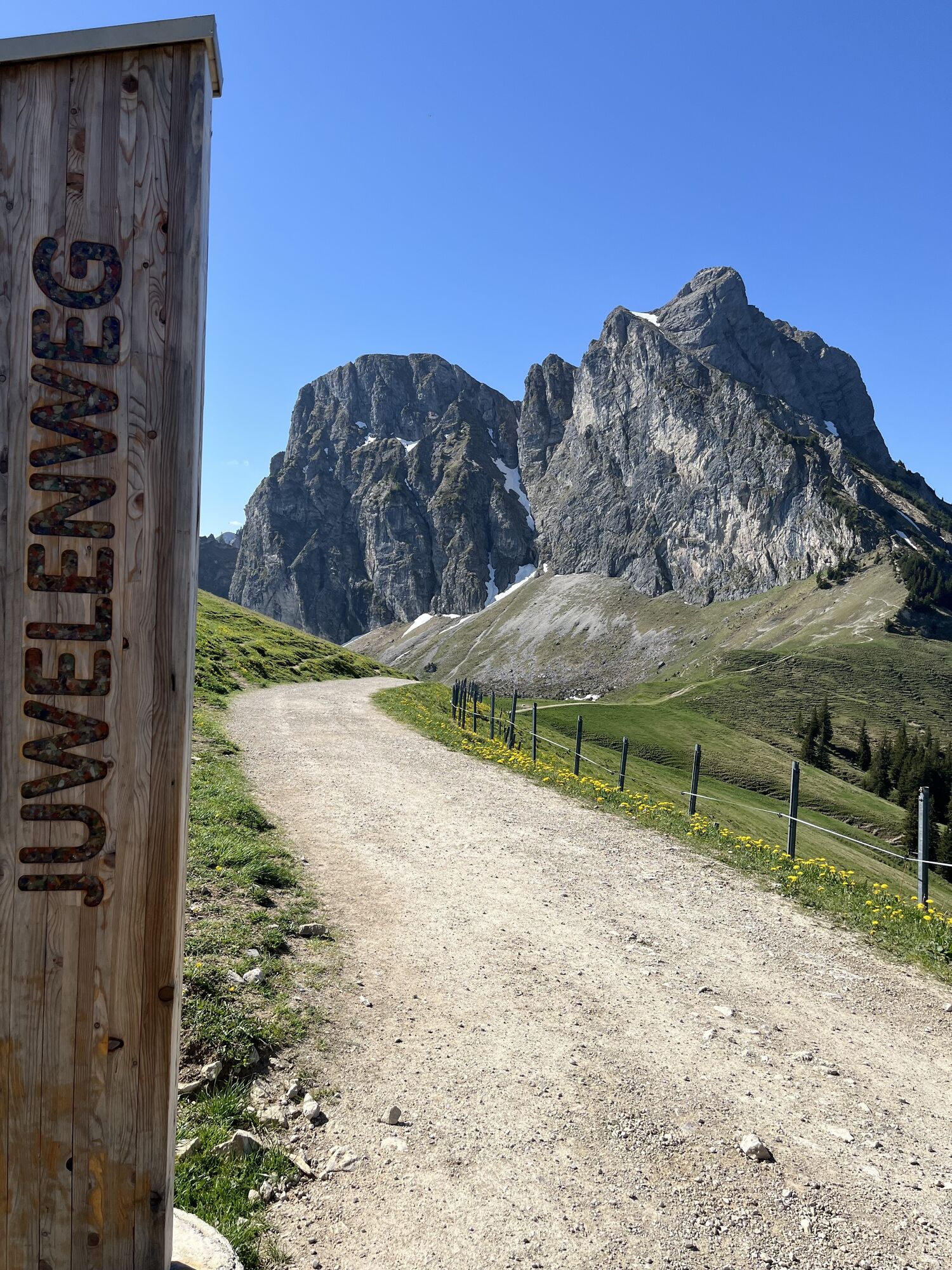
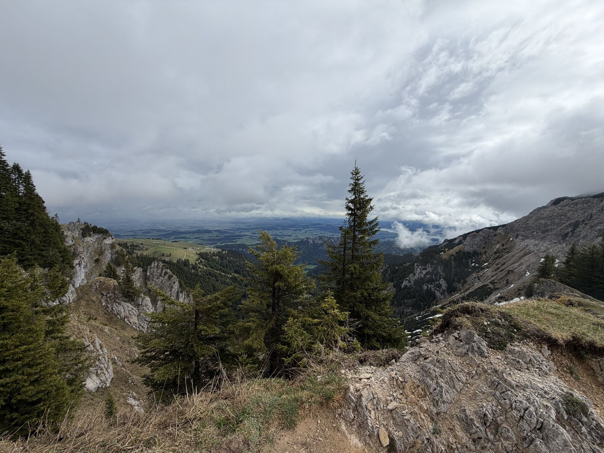
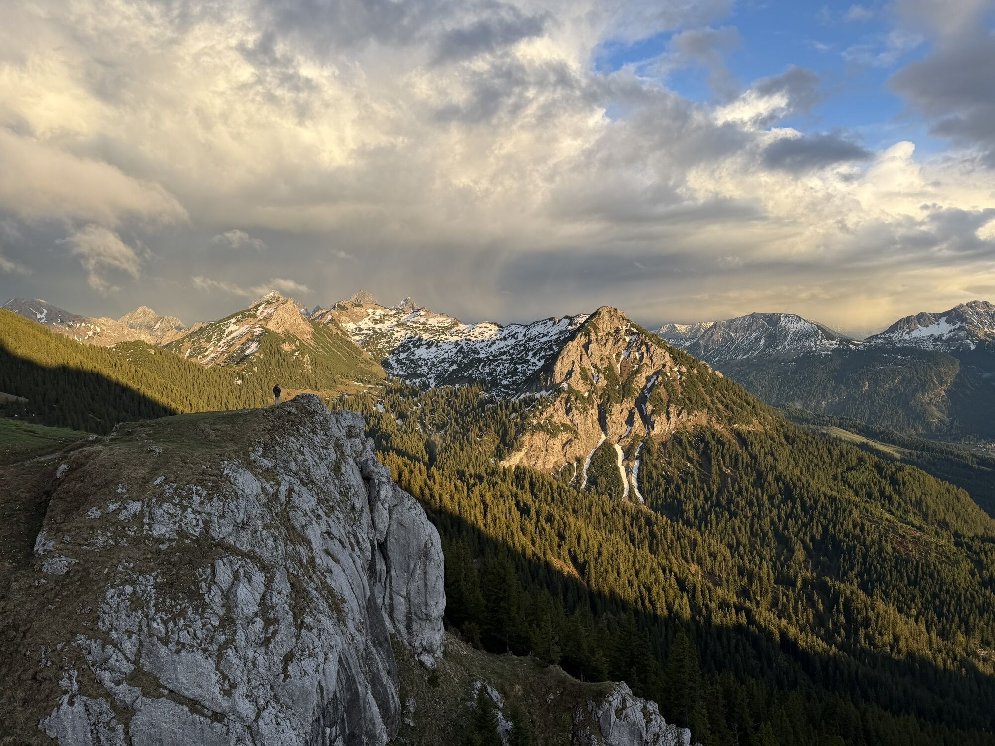
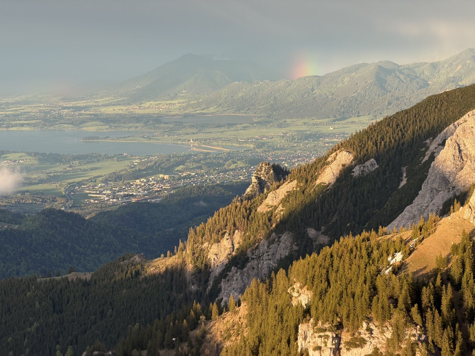
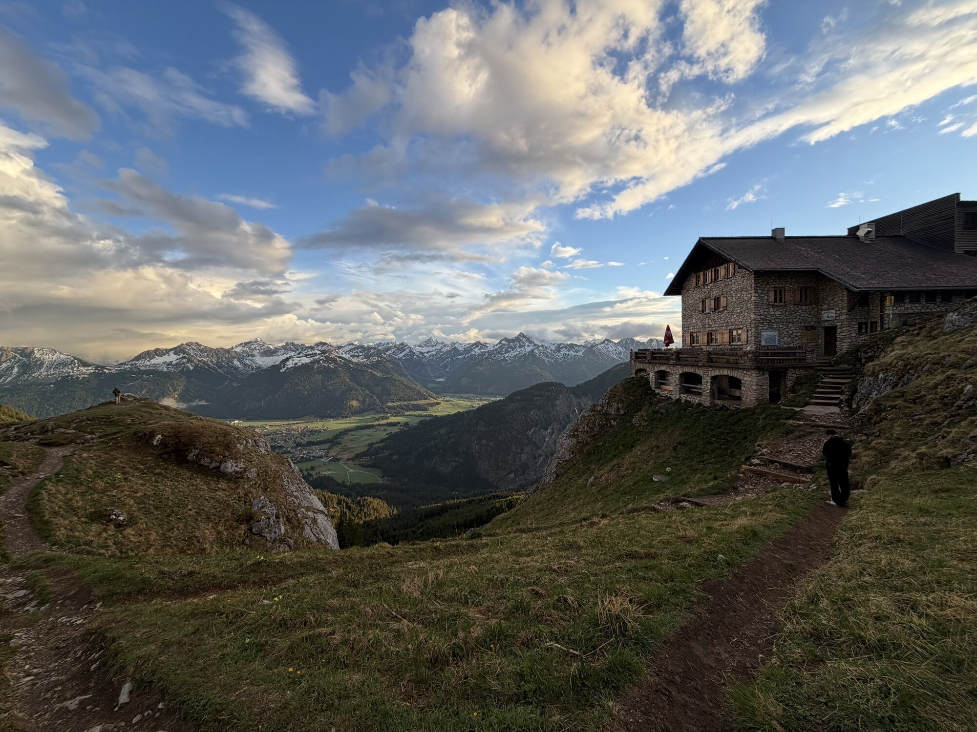
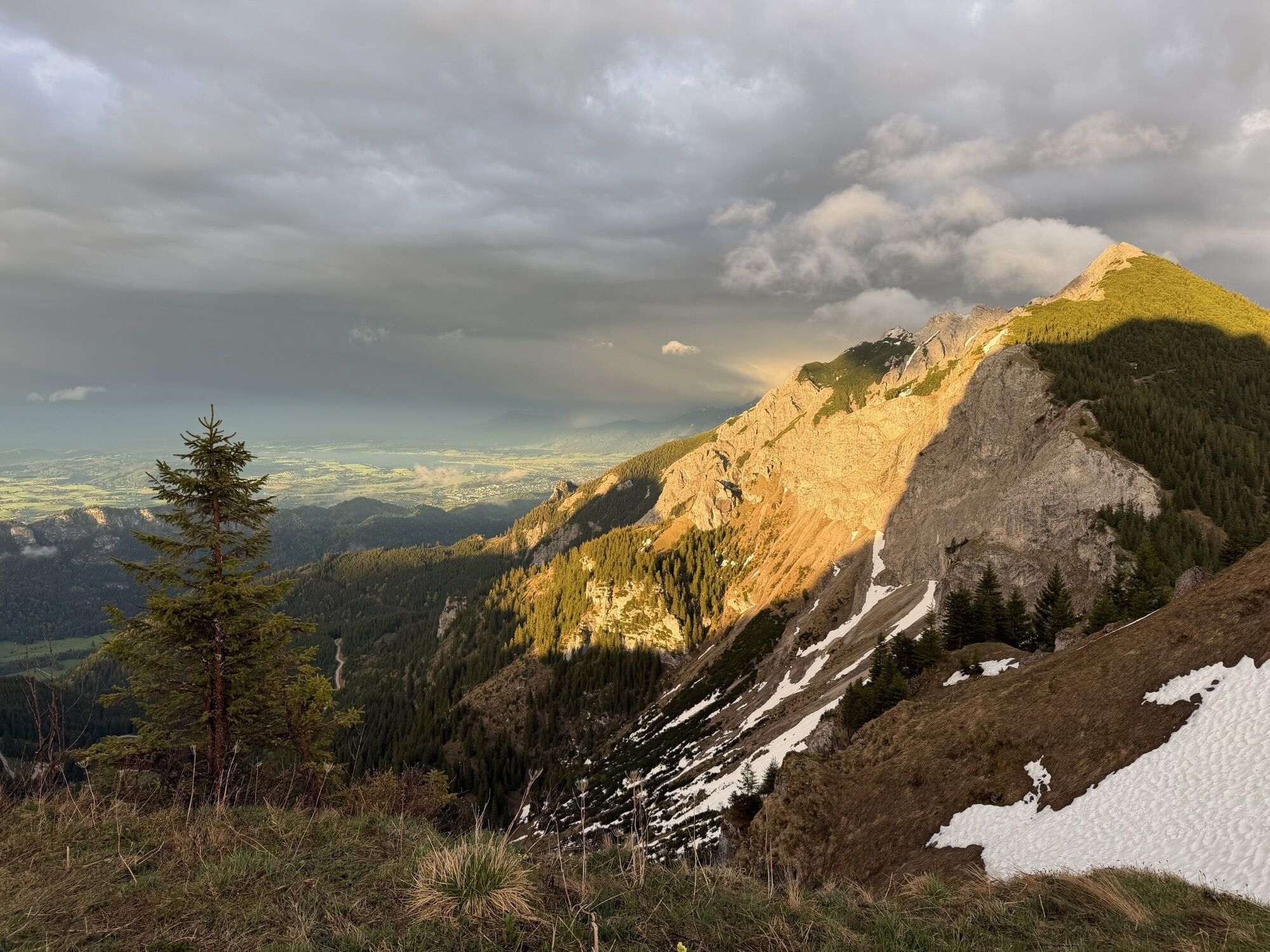
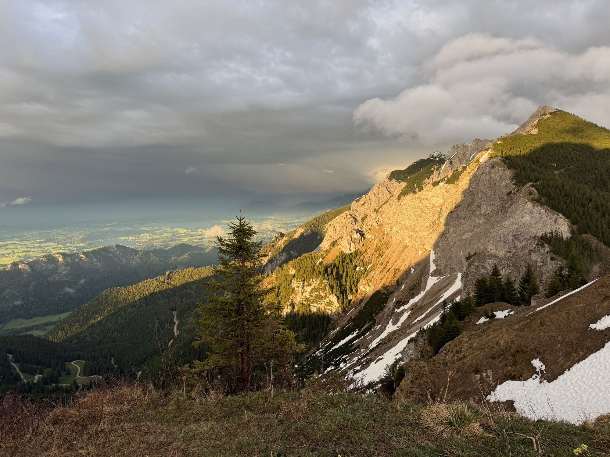
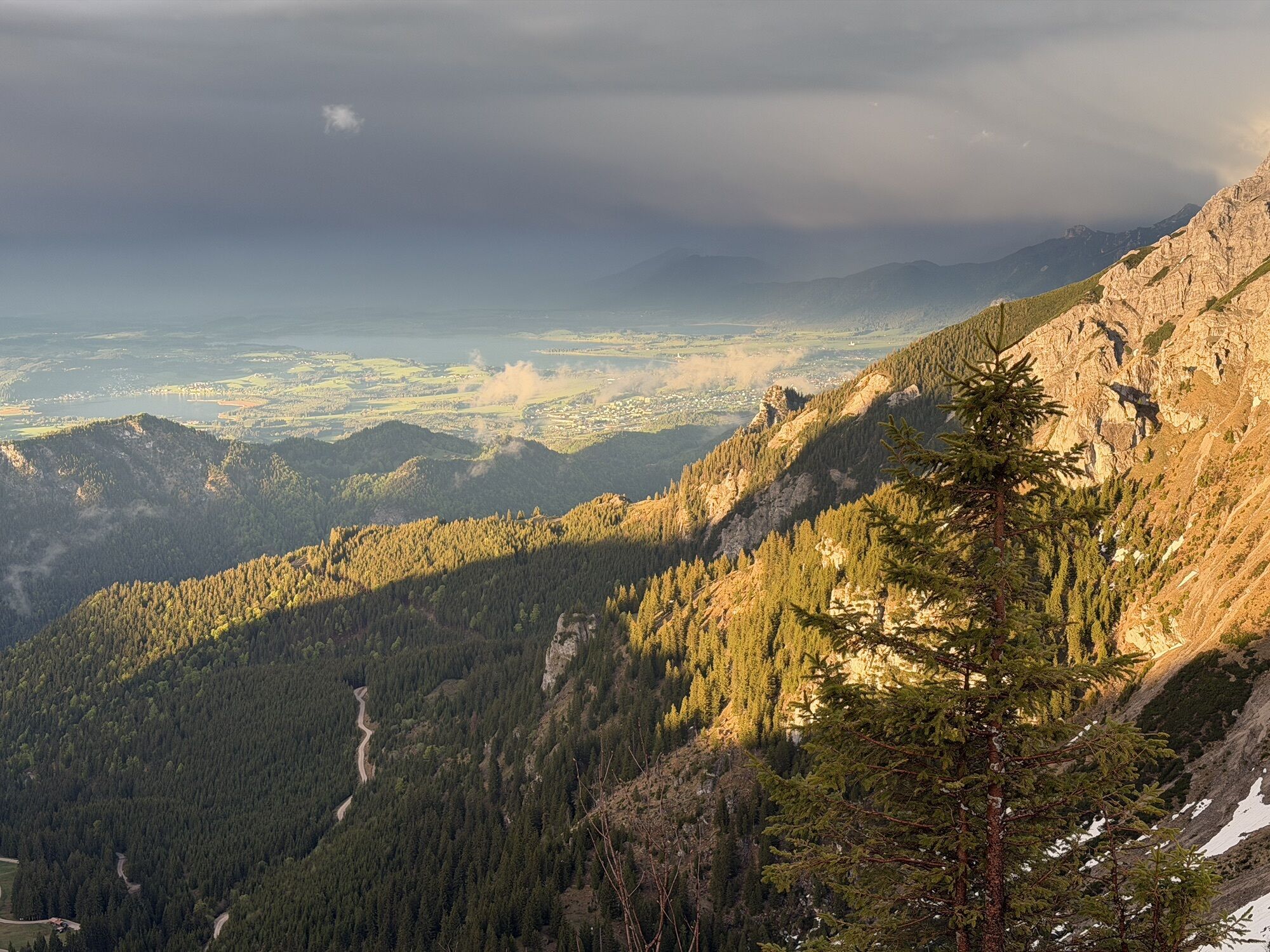
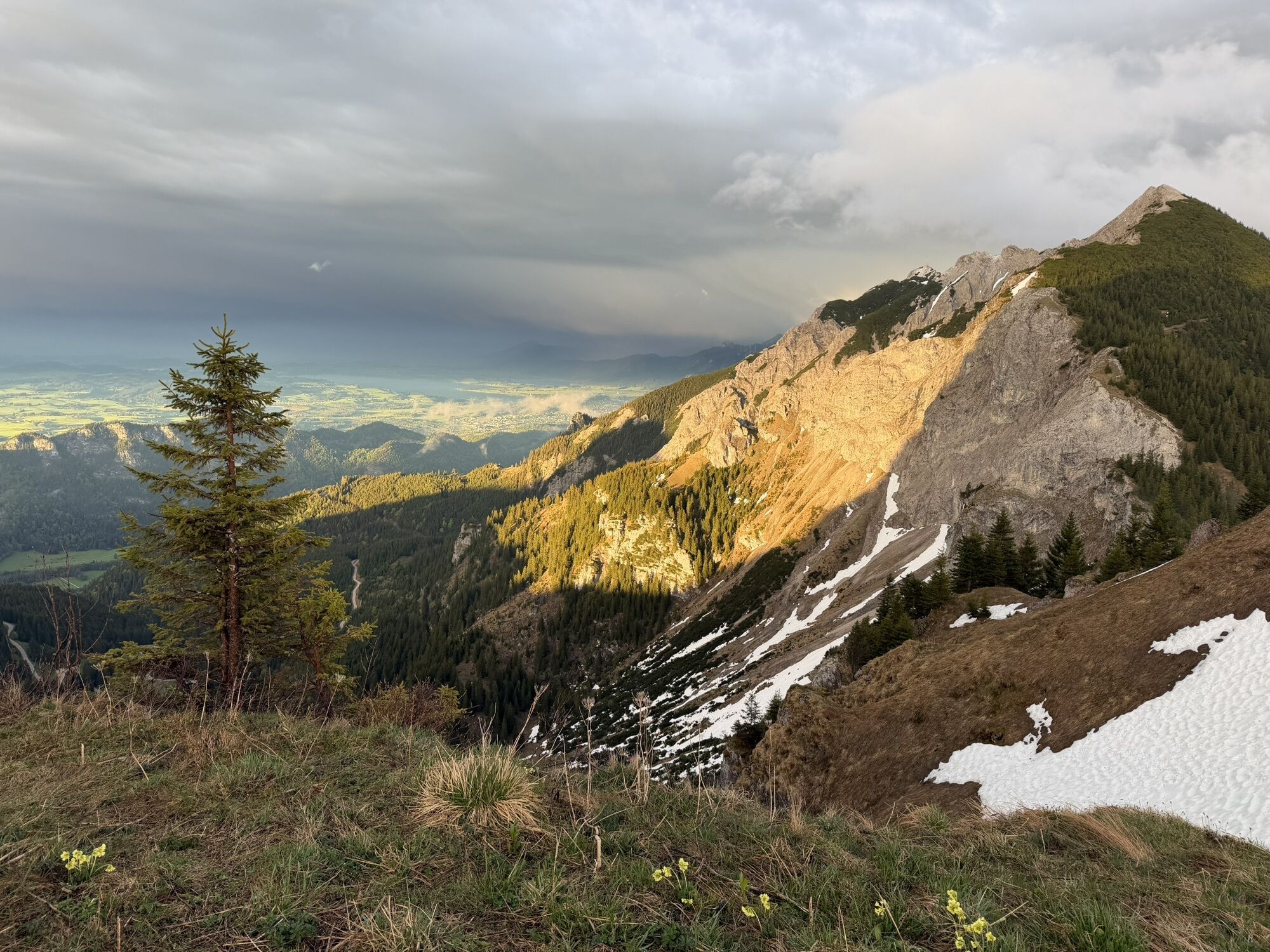
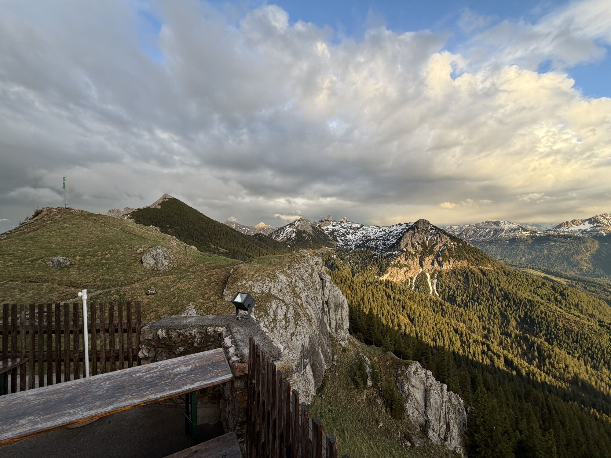
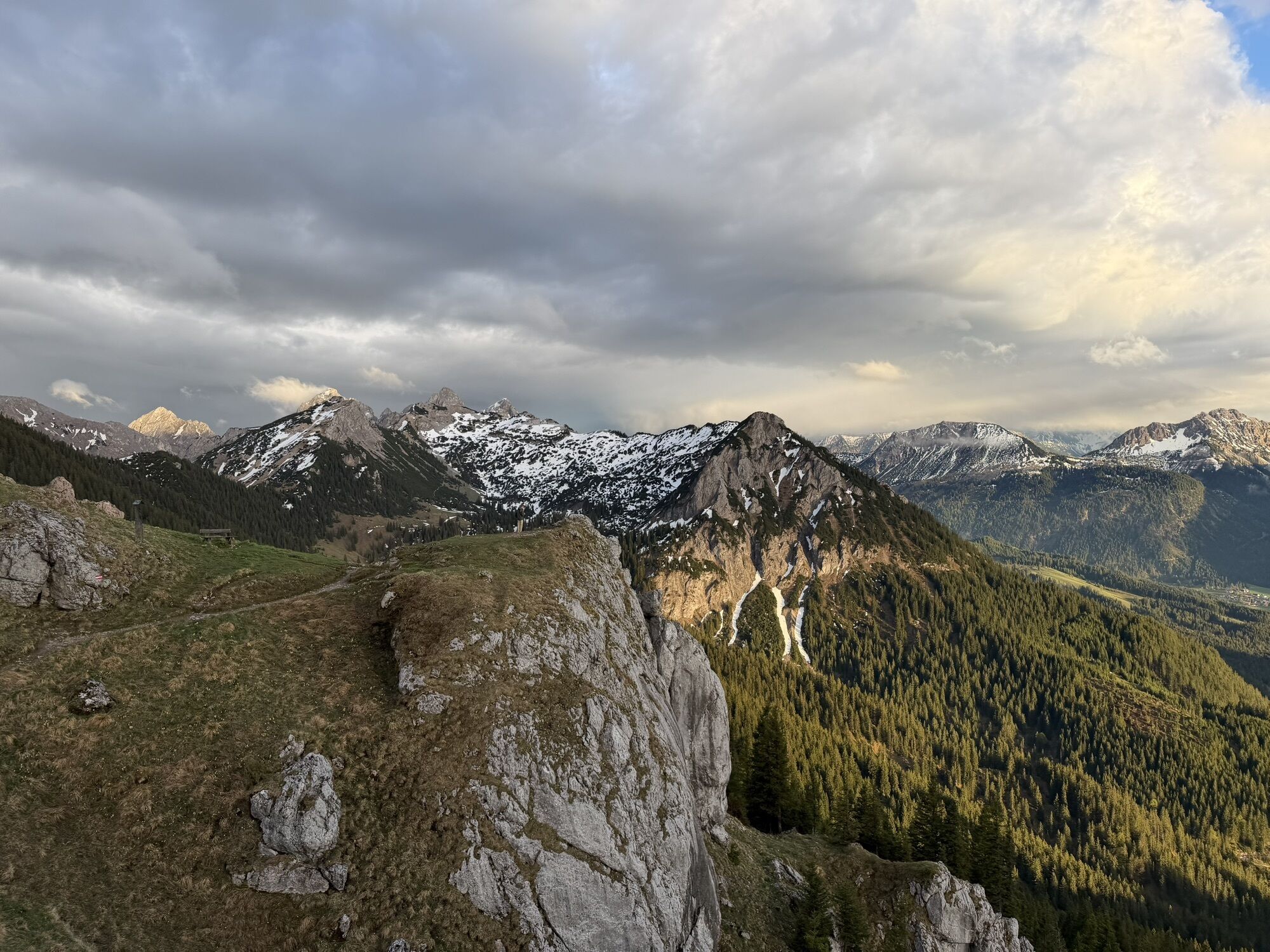
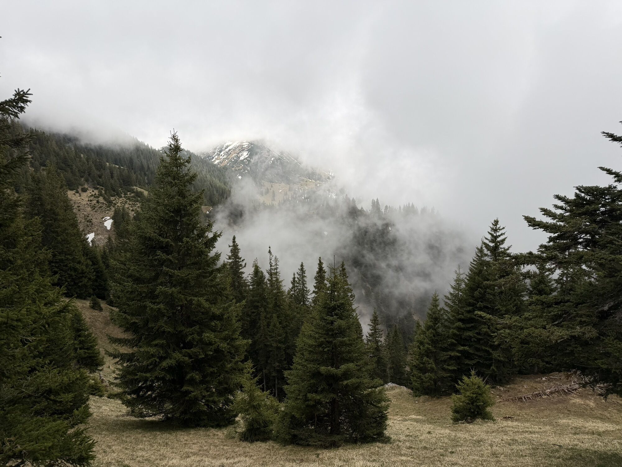
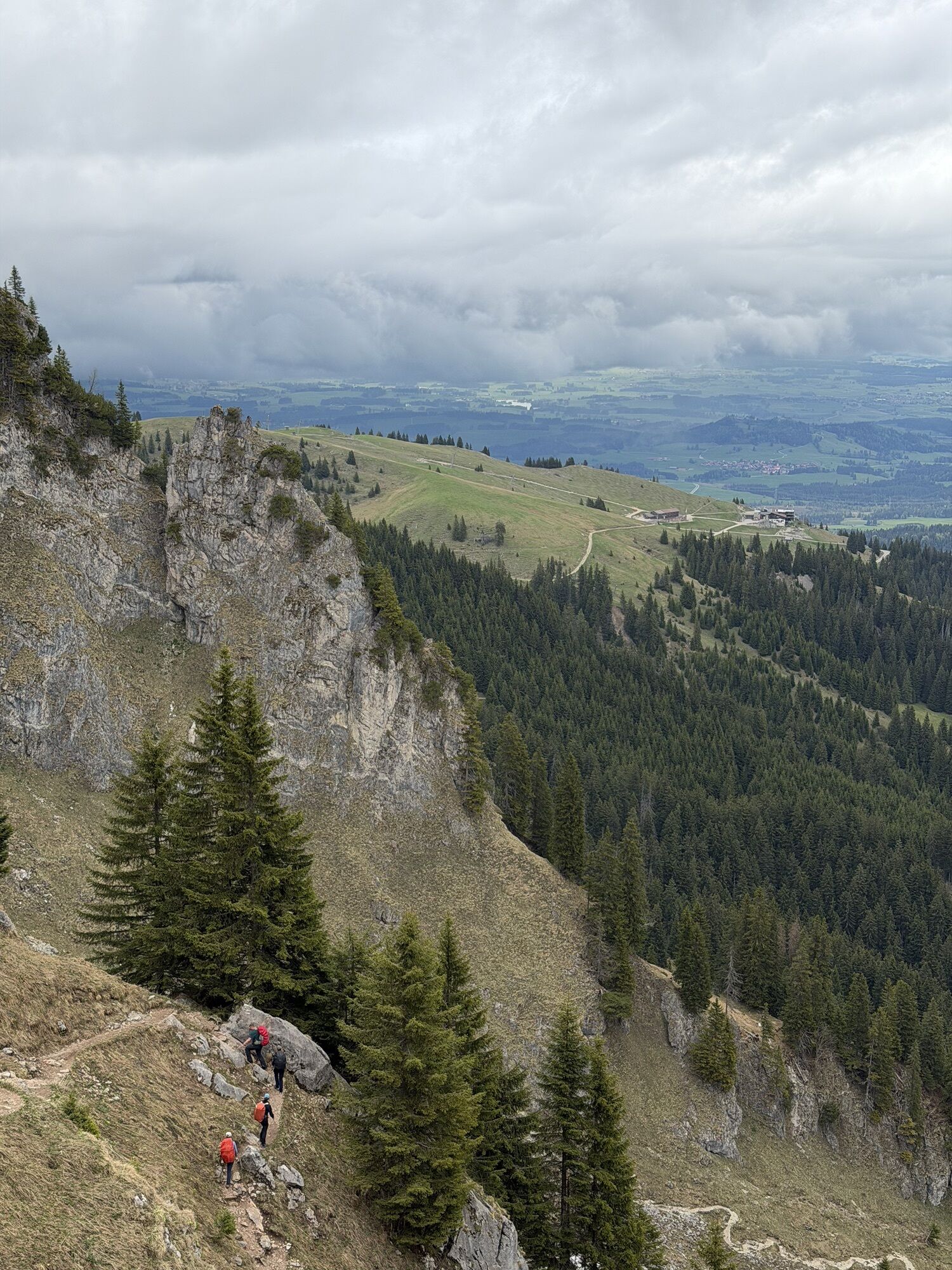
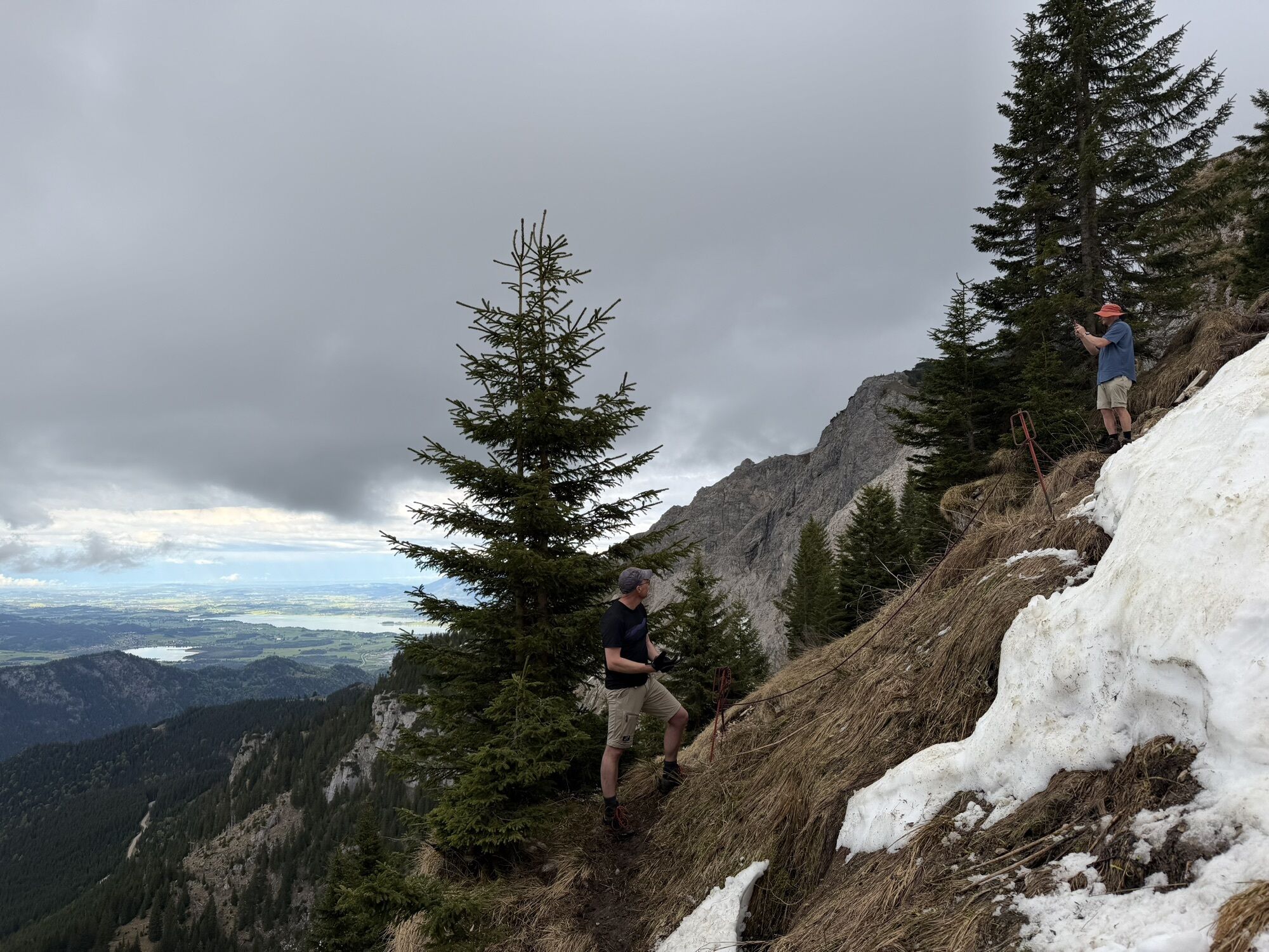
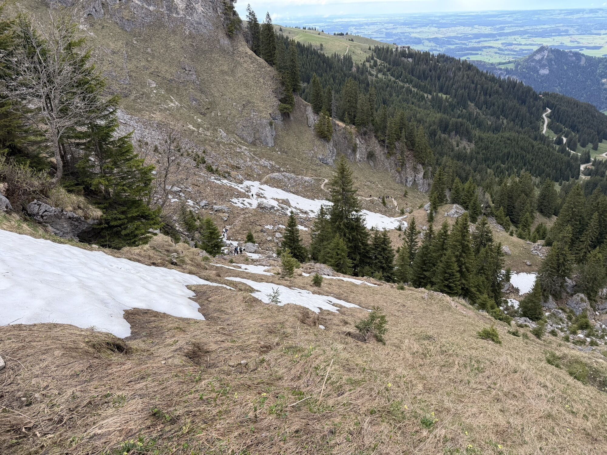
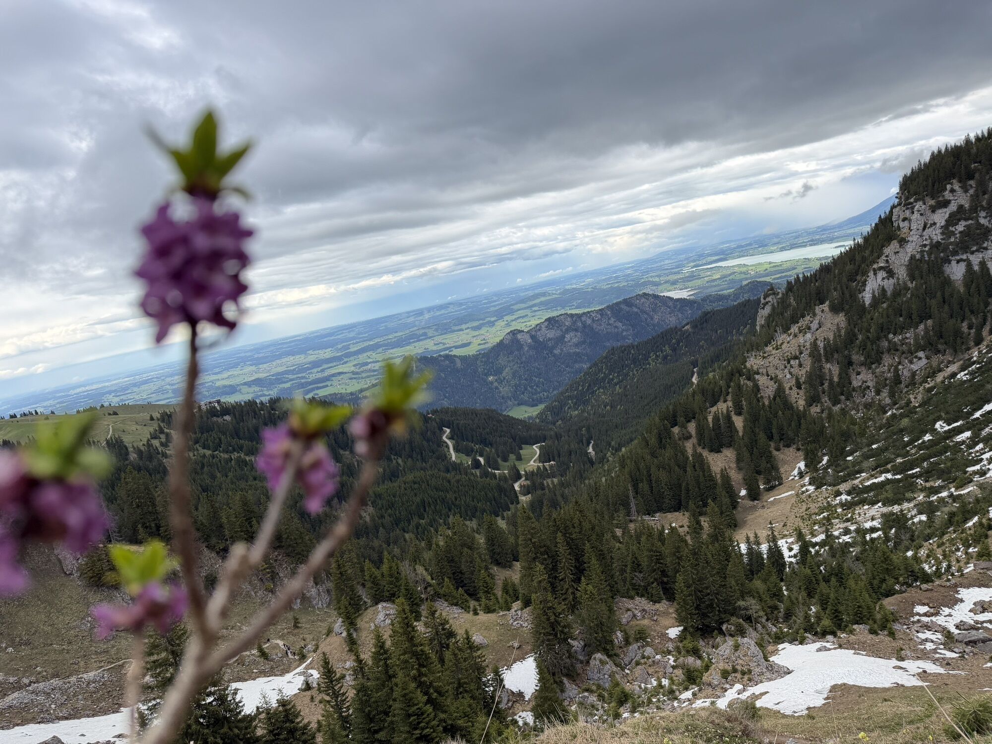
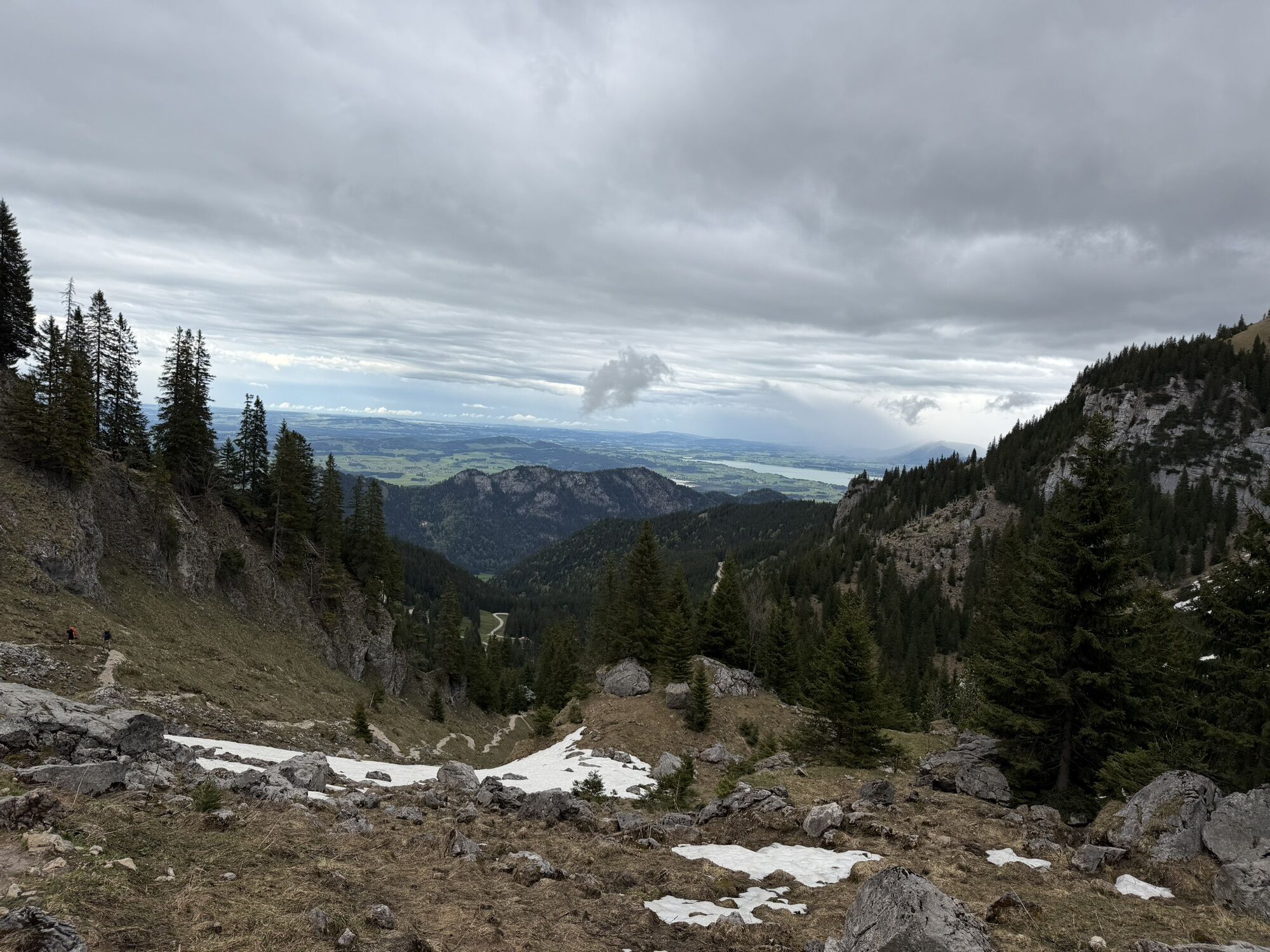
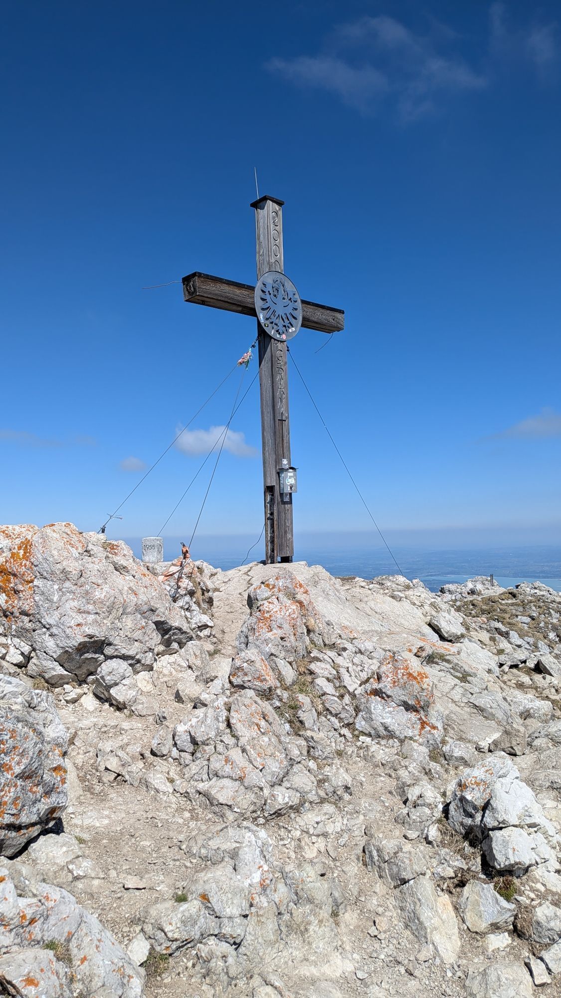
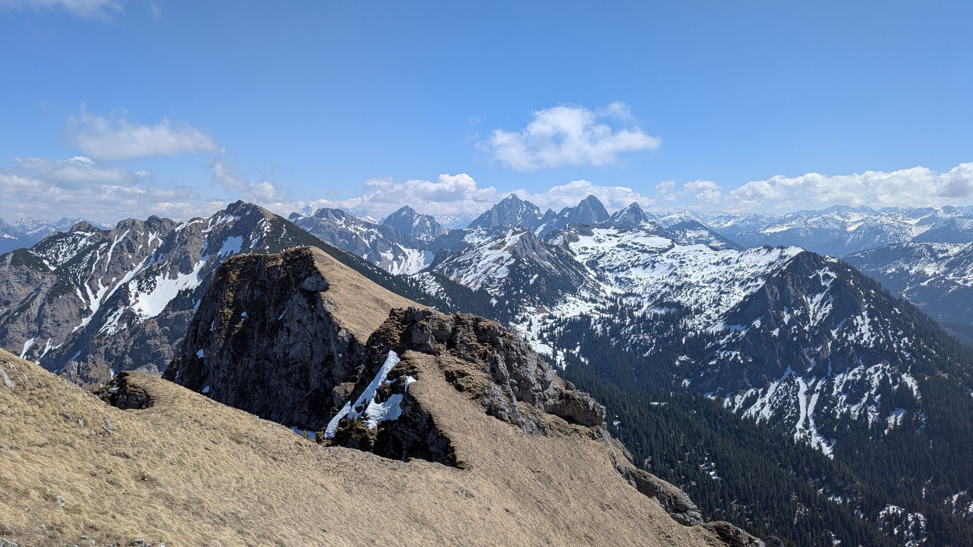
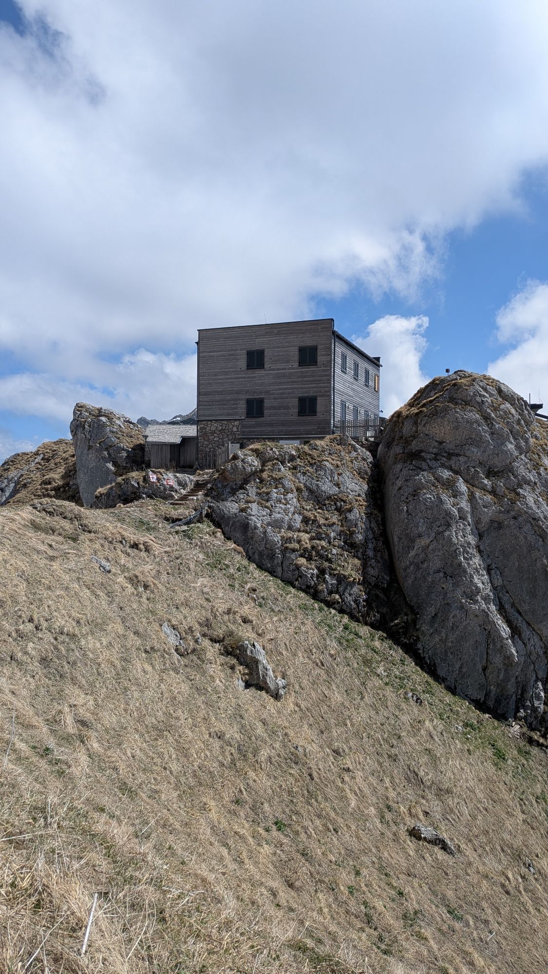
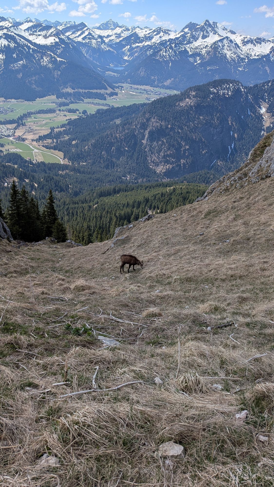
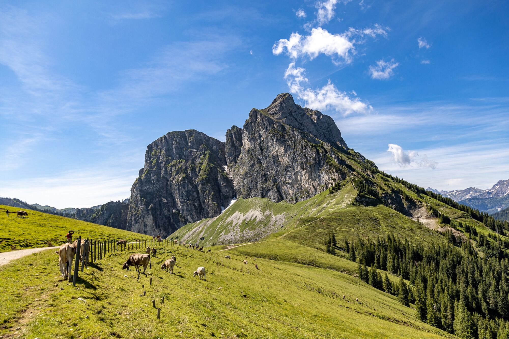
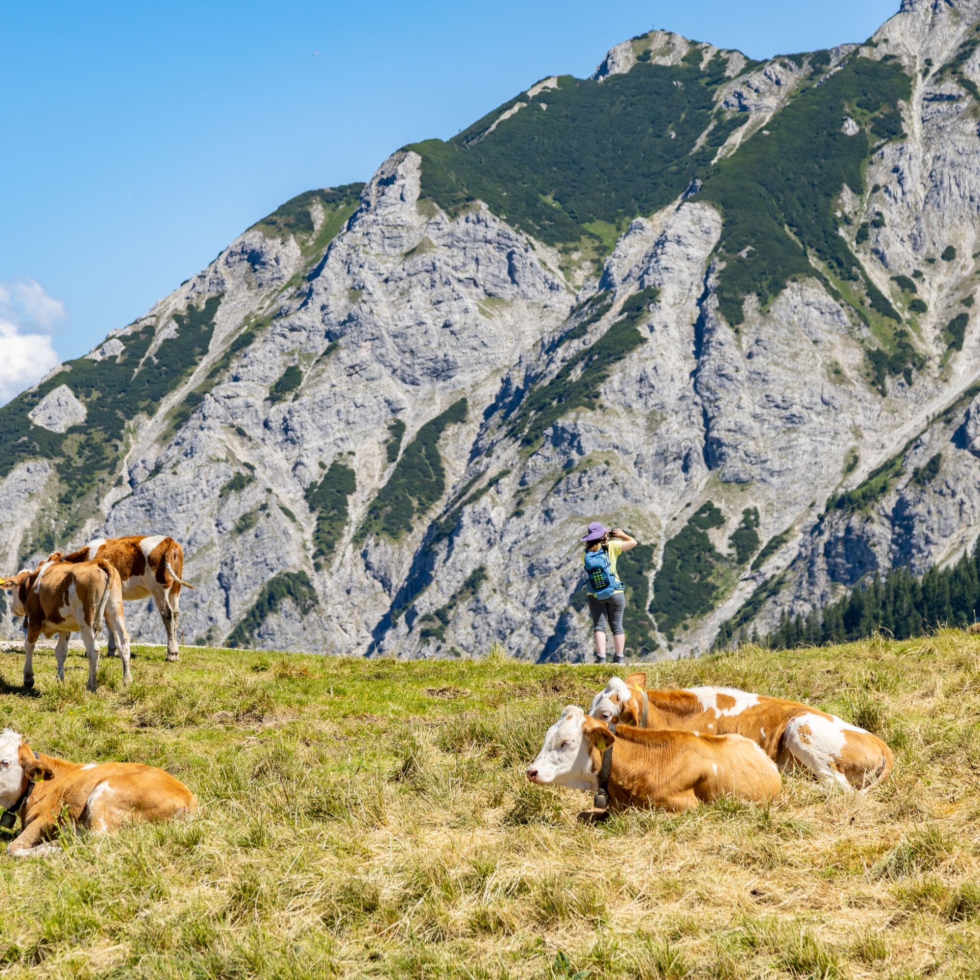
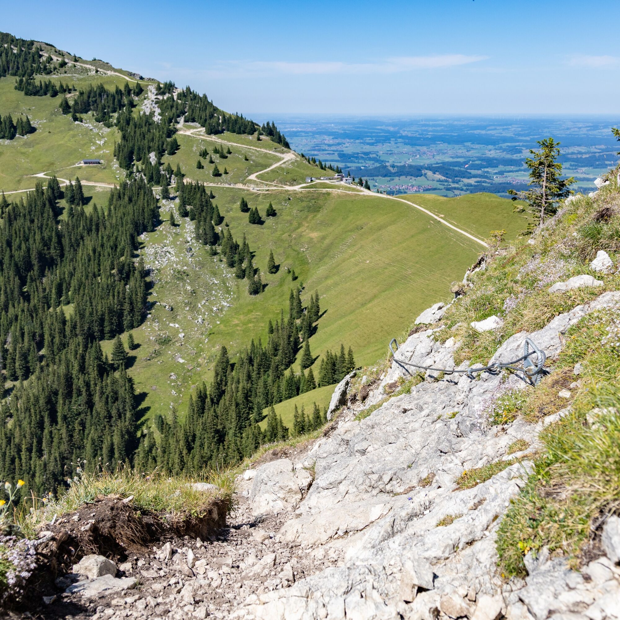
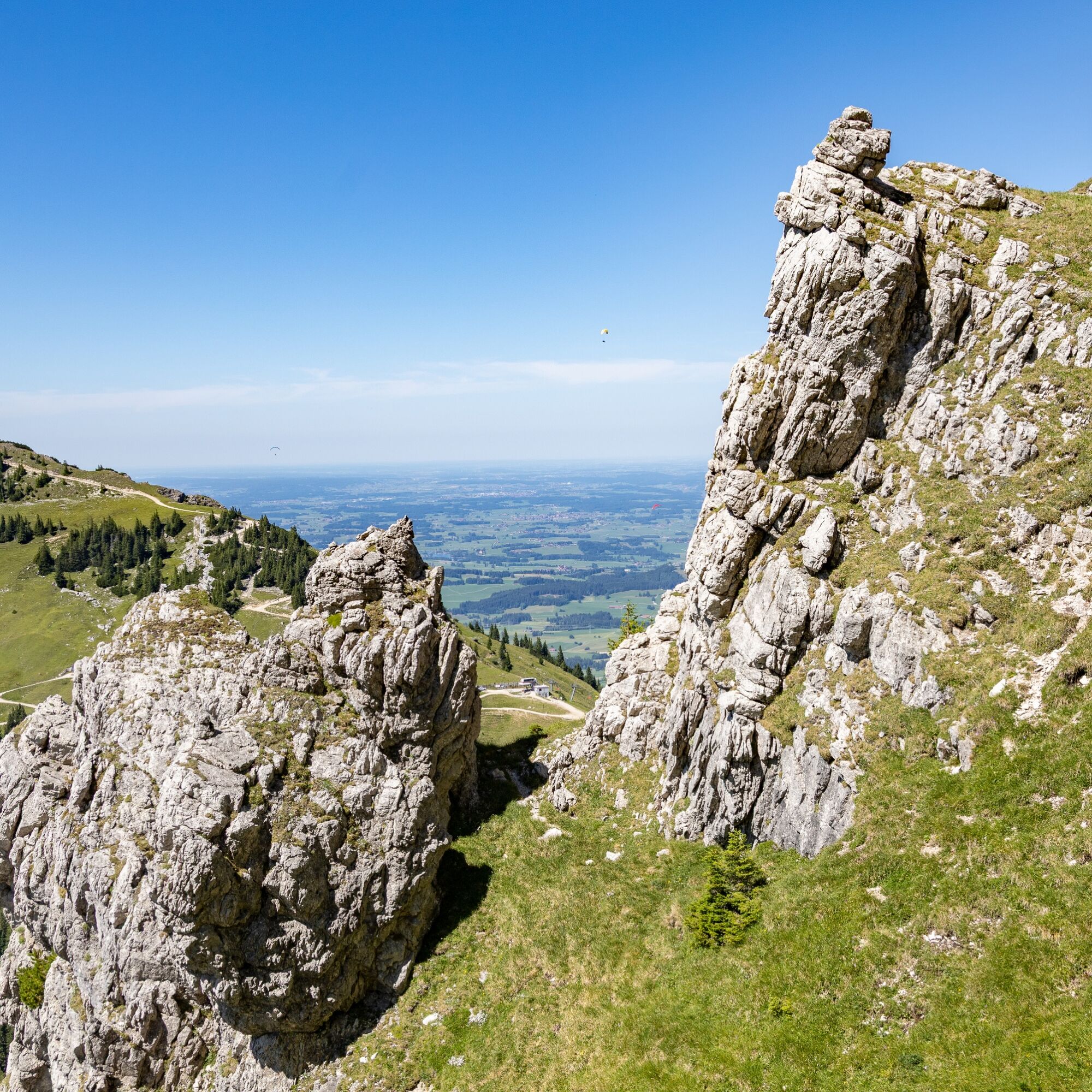
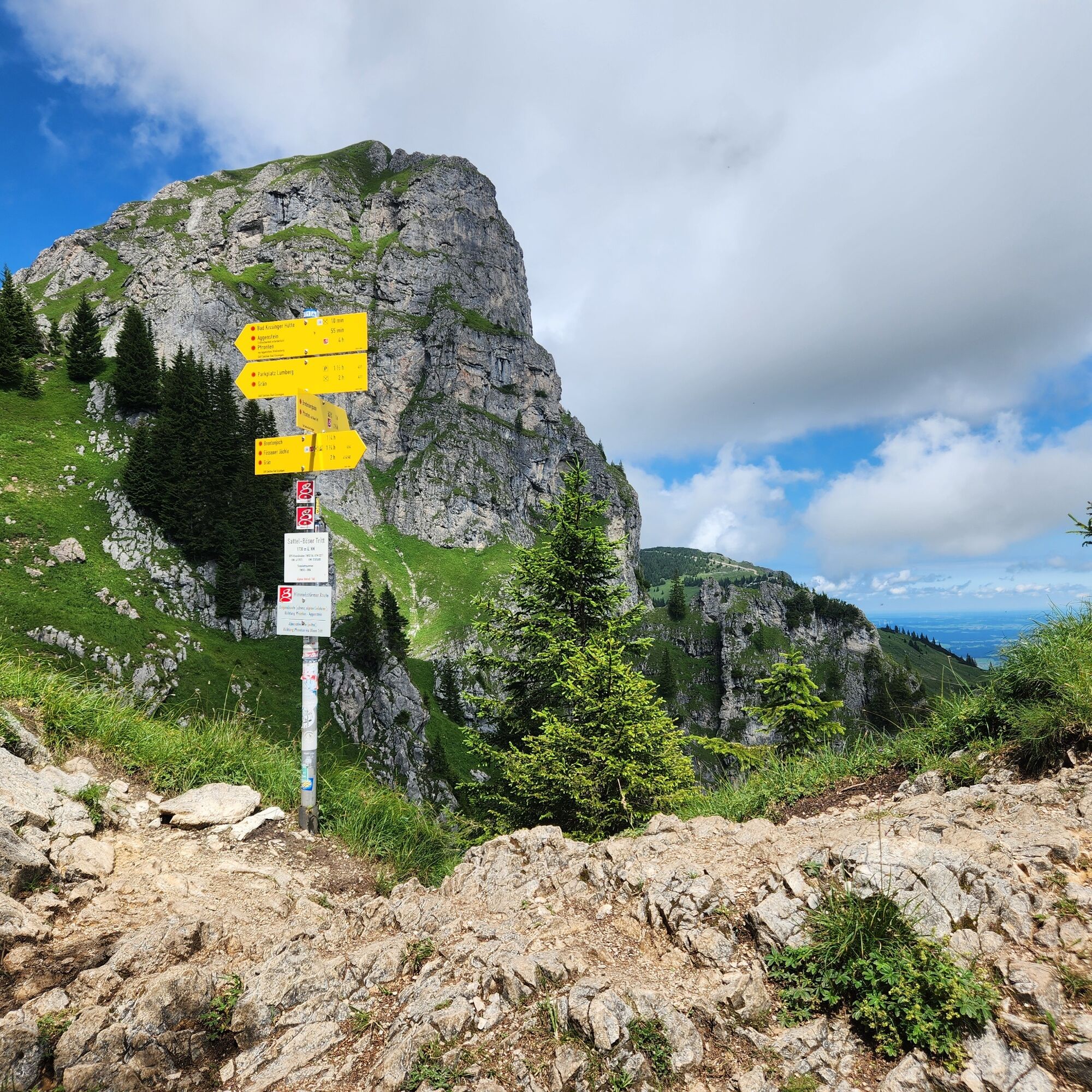
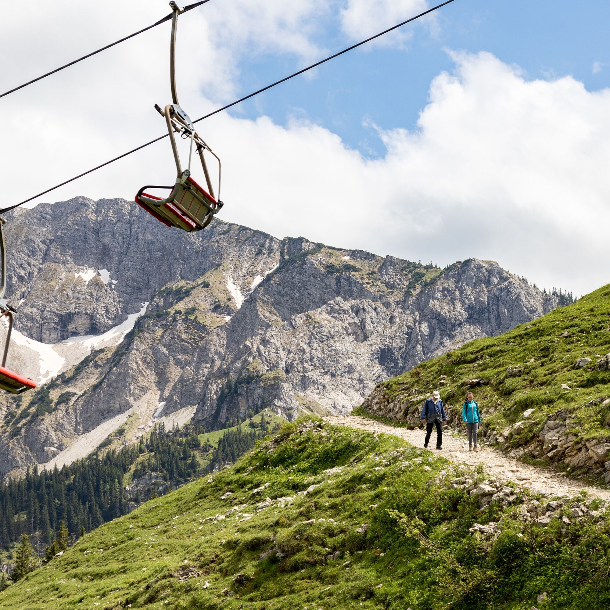
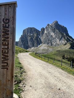
The challenging hike to the striking Aggenstein starts at the mountain station of the Breitenbergbahn. From here, the path leads you on a 6.1 km route that takes about 2 hours and 55 minutes. You will...
The challenging hike to the striking Aggenstein starts at the mountain station of the Breitenbergbahn. From here, the path leads you on a 6.1 km route that takes about 2 hours and 55 minutes. You will overcome 584 meters of elevation, which requires good fitness and sure-footedness.
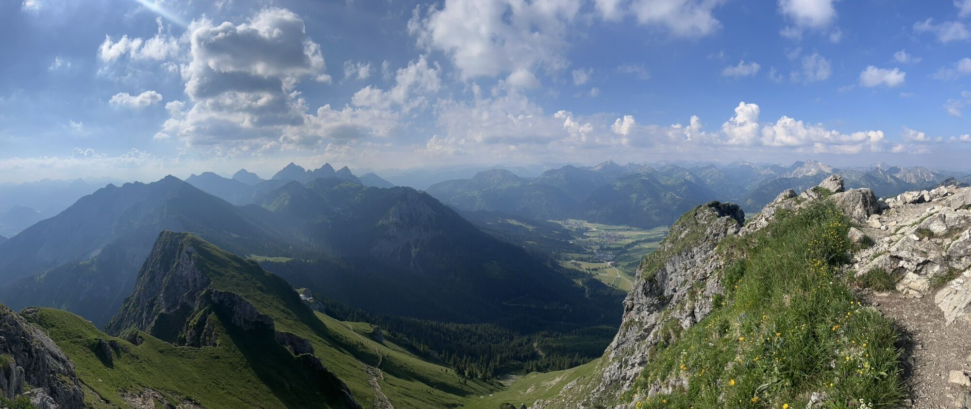
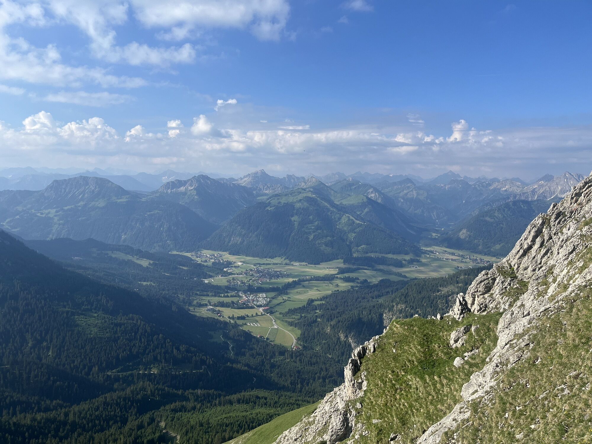
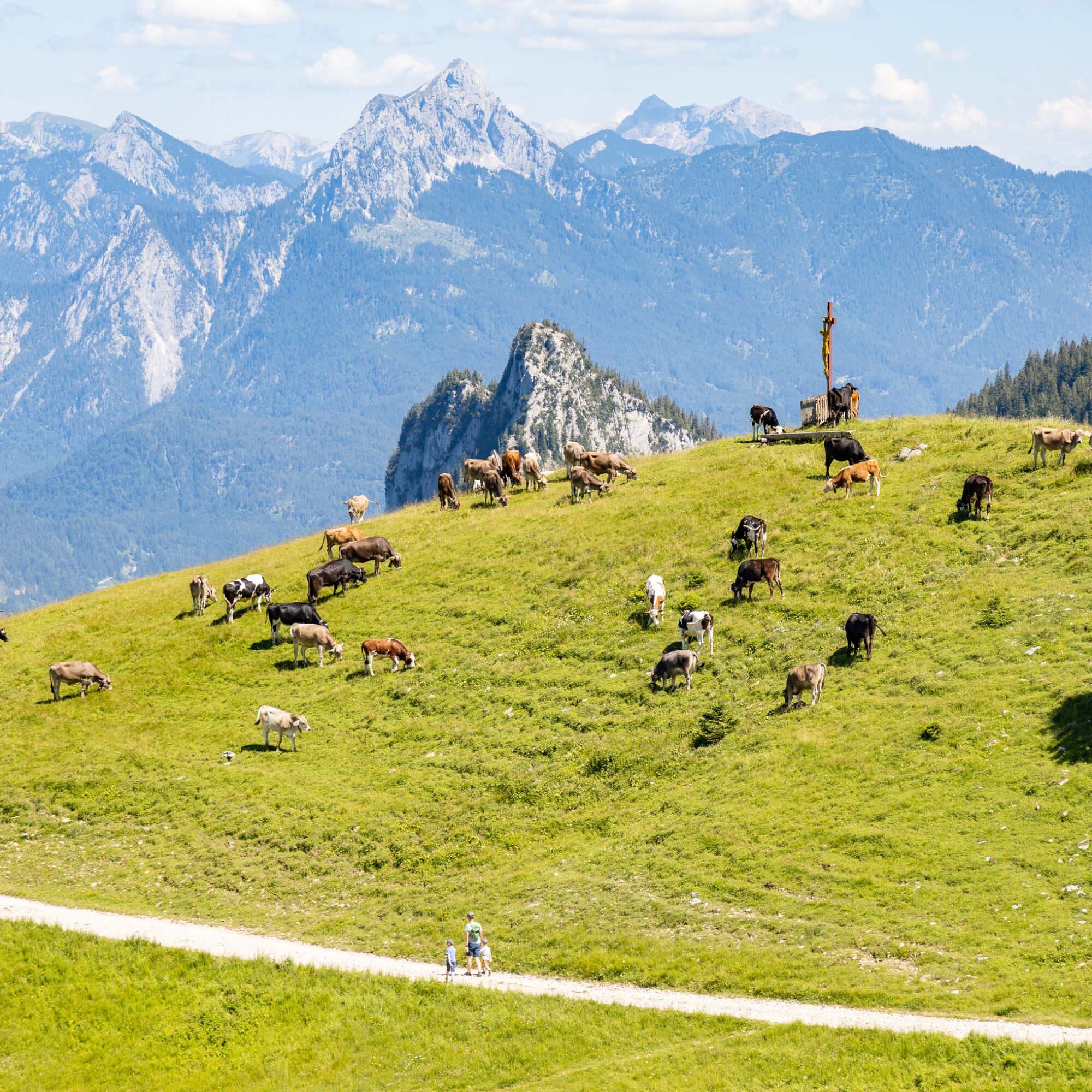
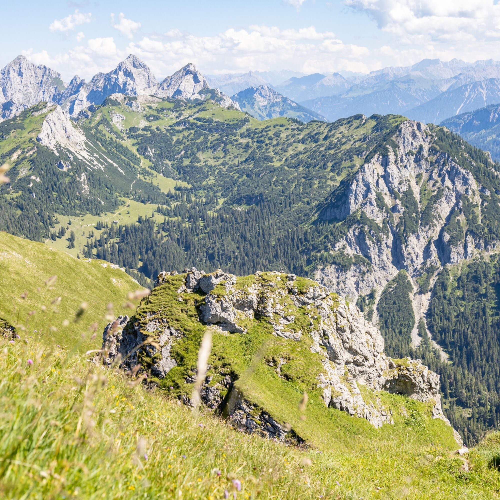
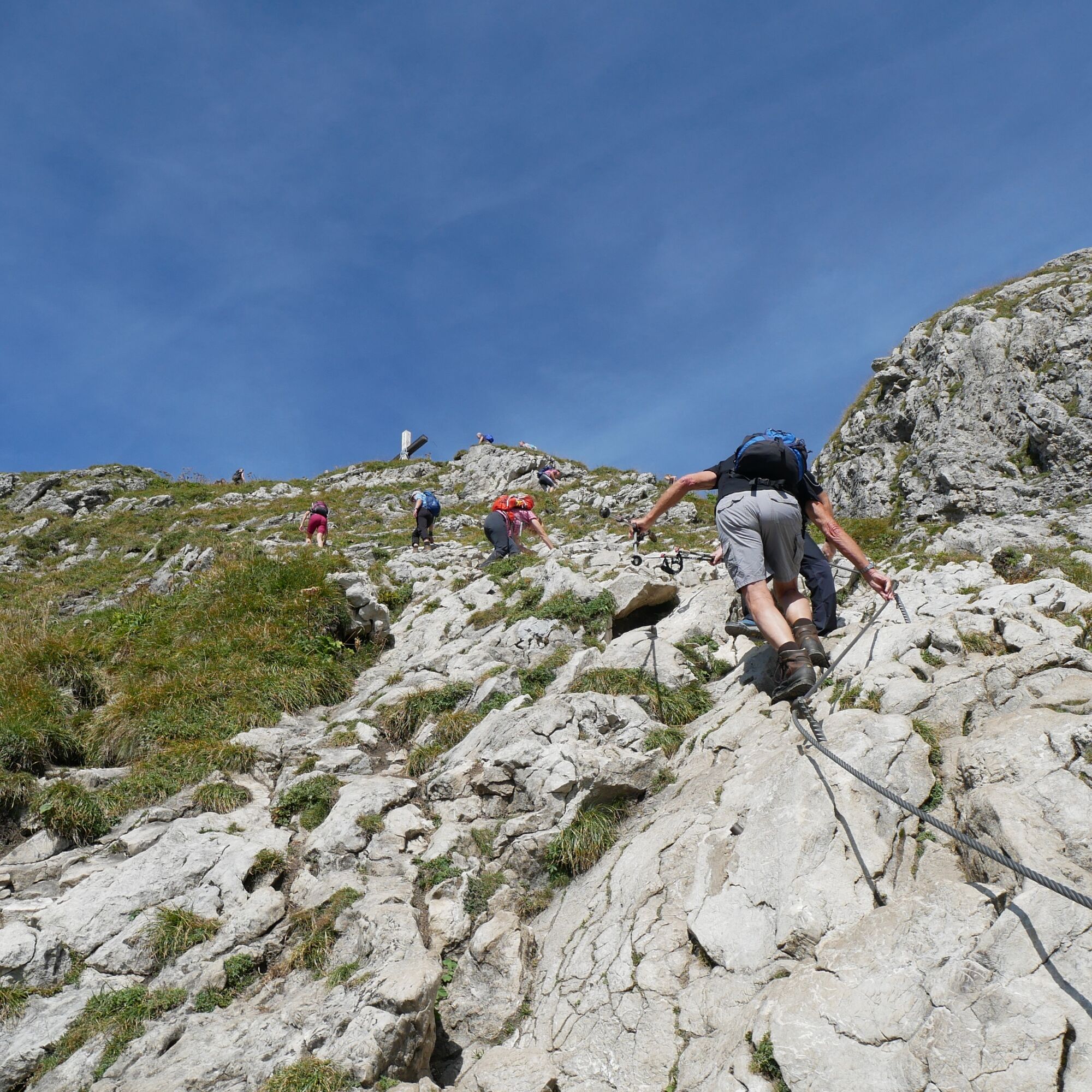
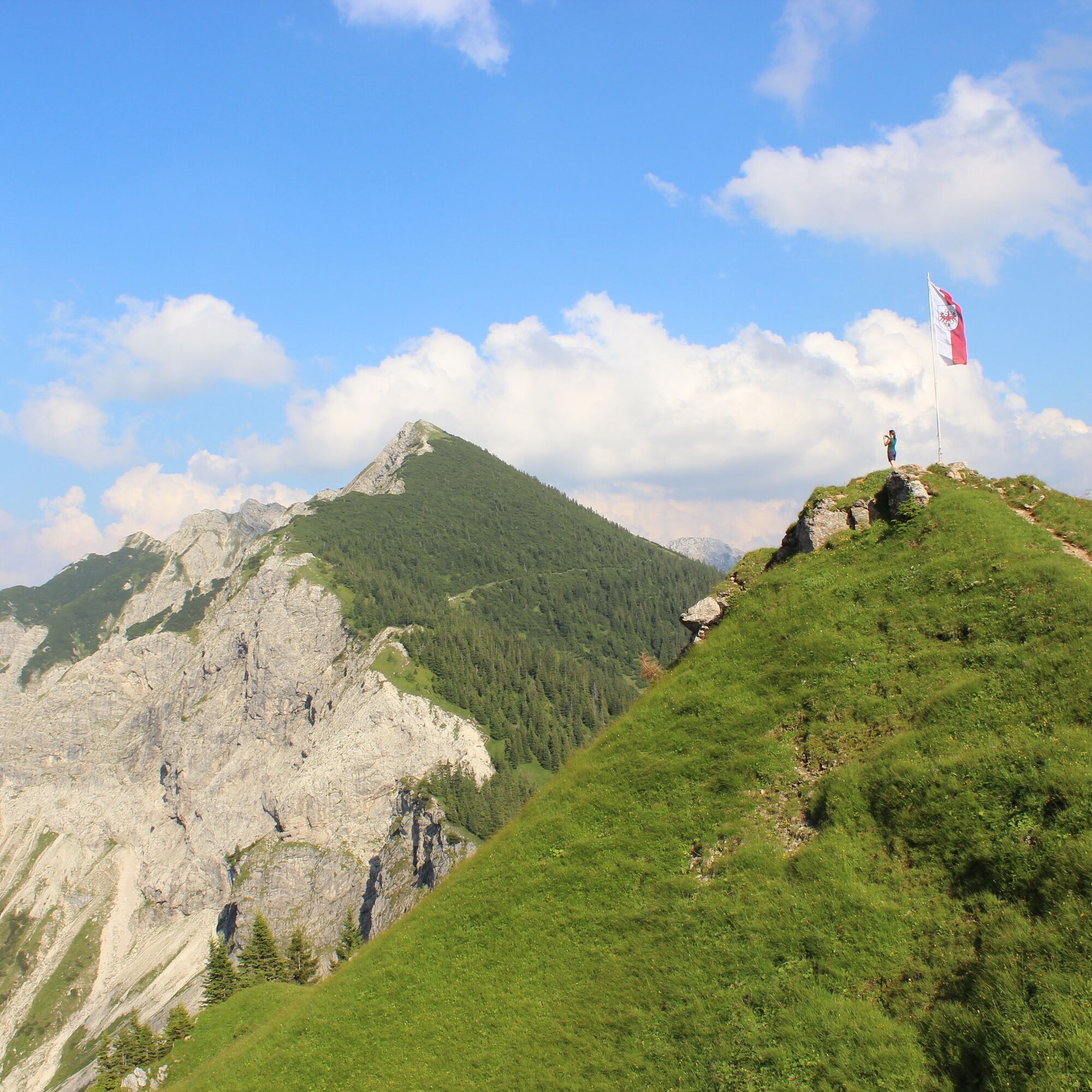
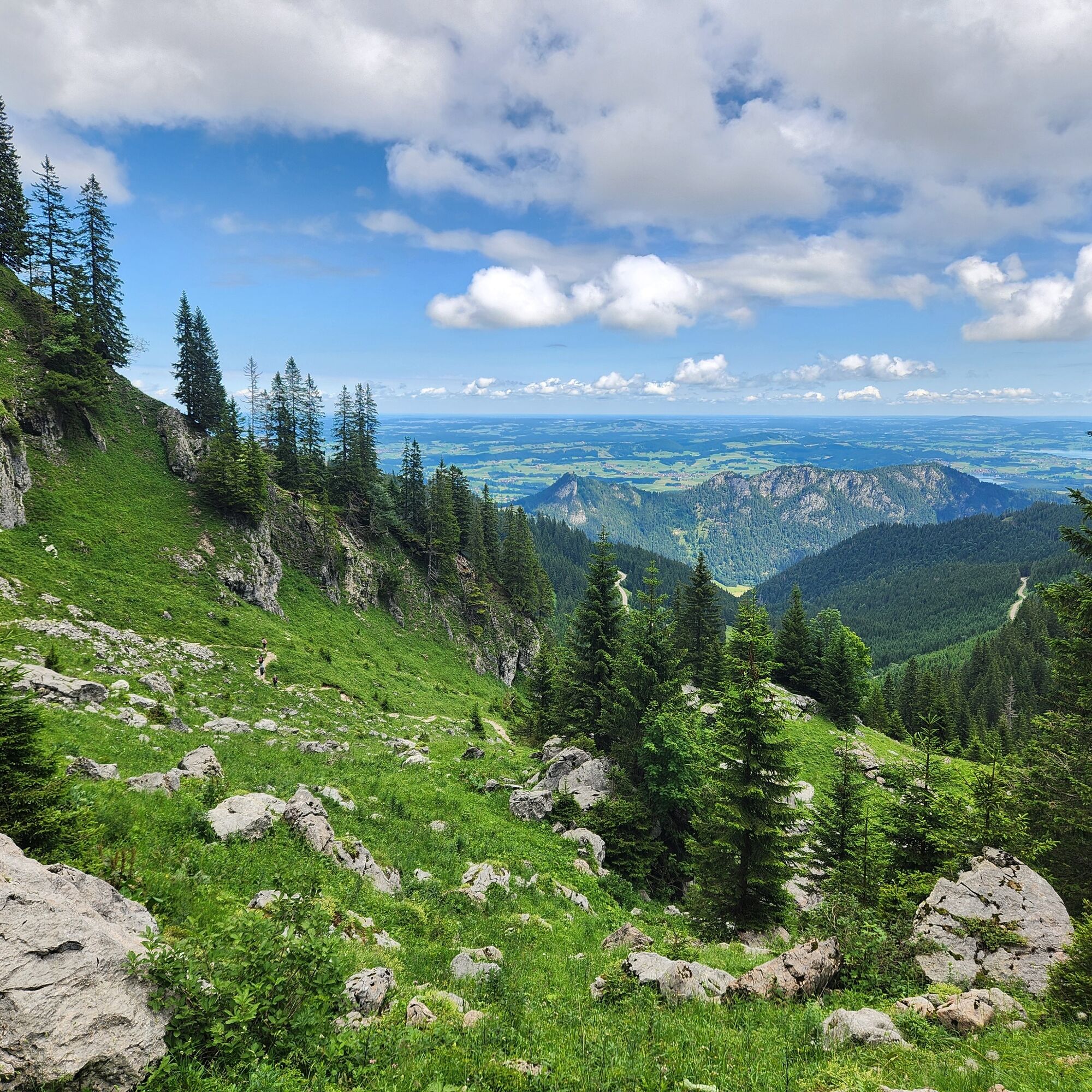
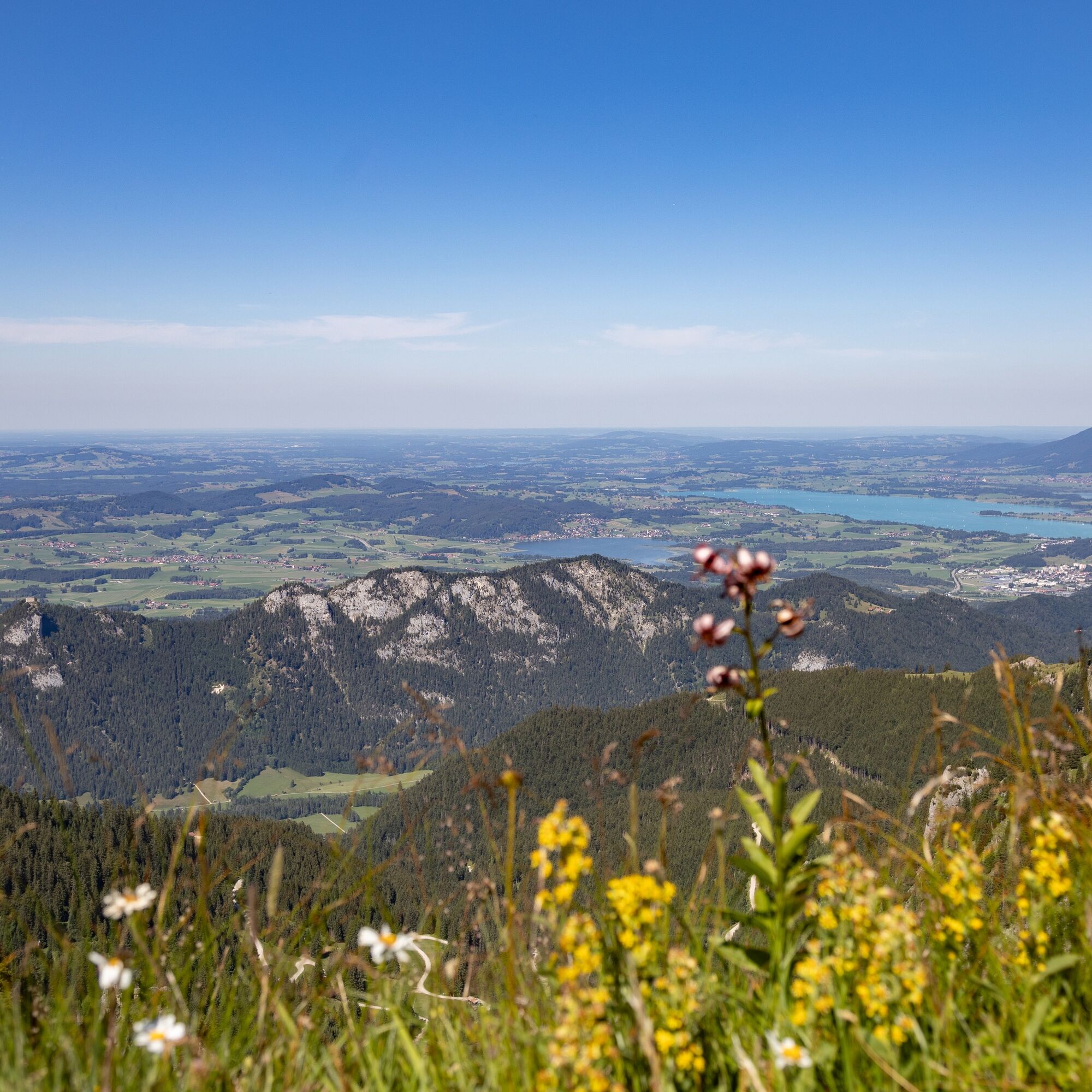
The hiking trail starts over the Hochalpe and continues on the Langer Strich towards the summit. The route offers breathtaking views of the surrounding mountains and valleys. Some parts of the path are secured with wire ropes and require special caution! Sure-footedness is absolutely necessary here, as the path is steep and narrow.
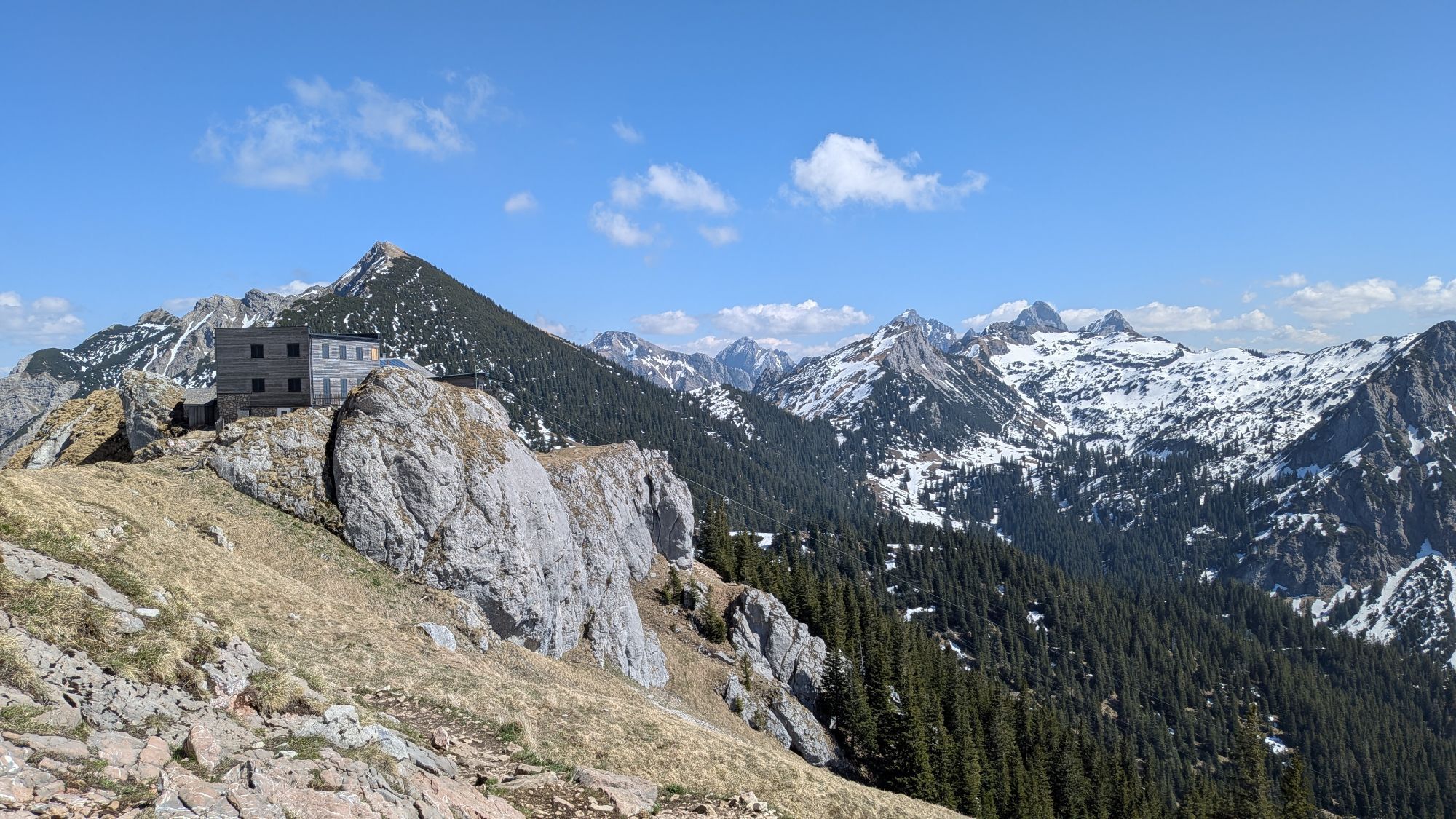
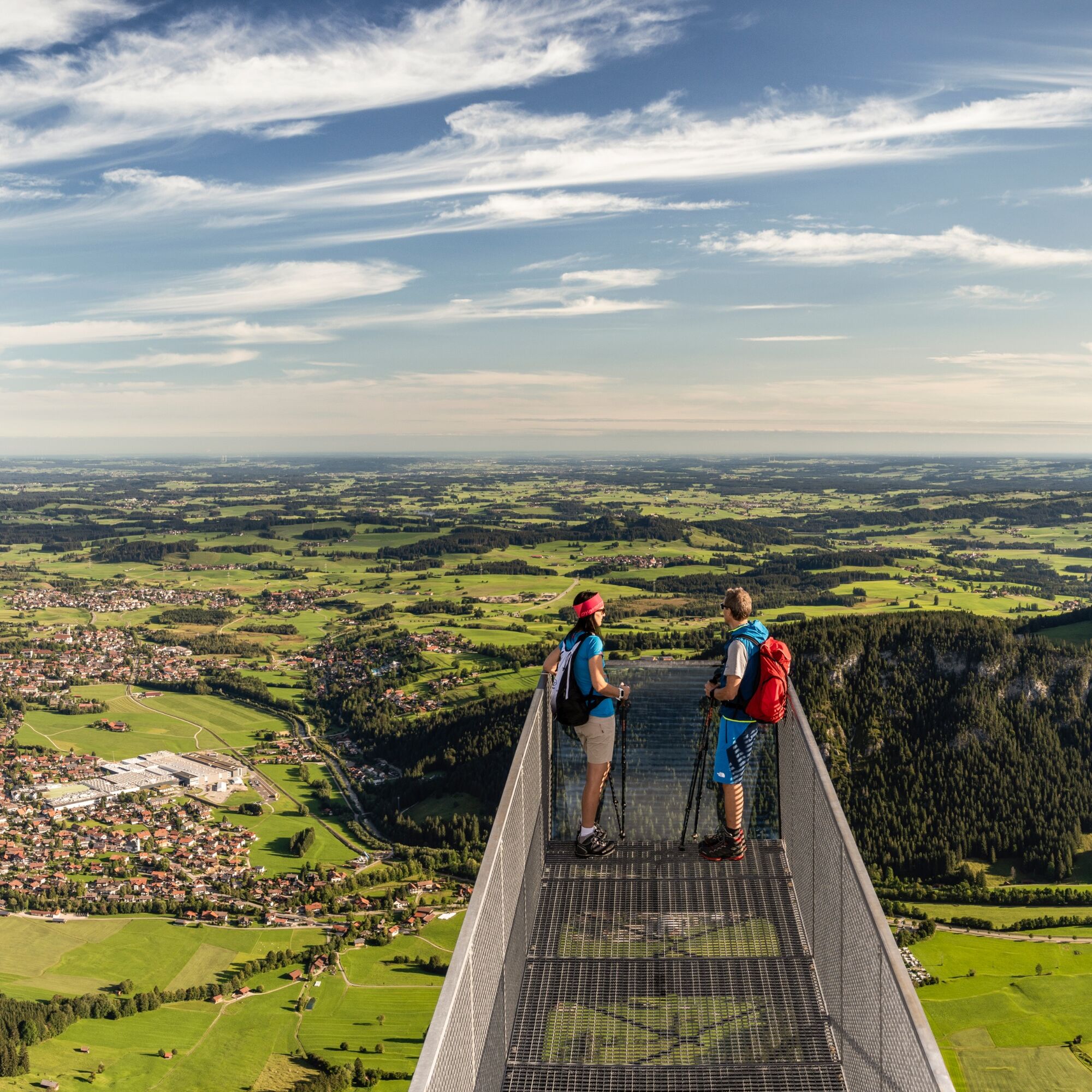
At the top, the Aggenstein summit awaits you, from where you can enjoy a magnificent view of the surrounding Alps.
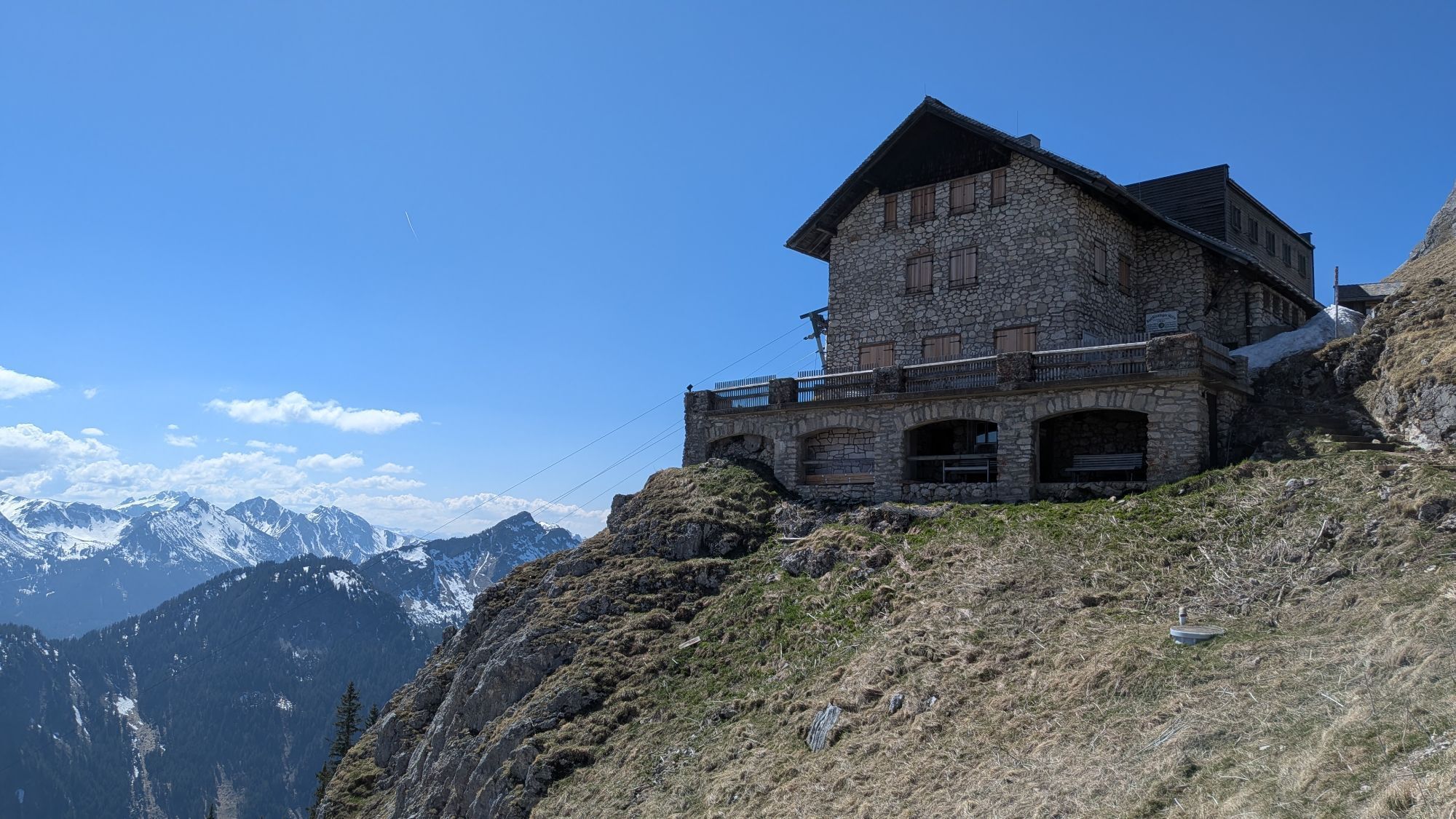
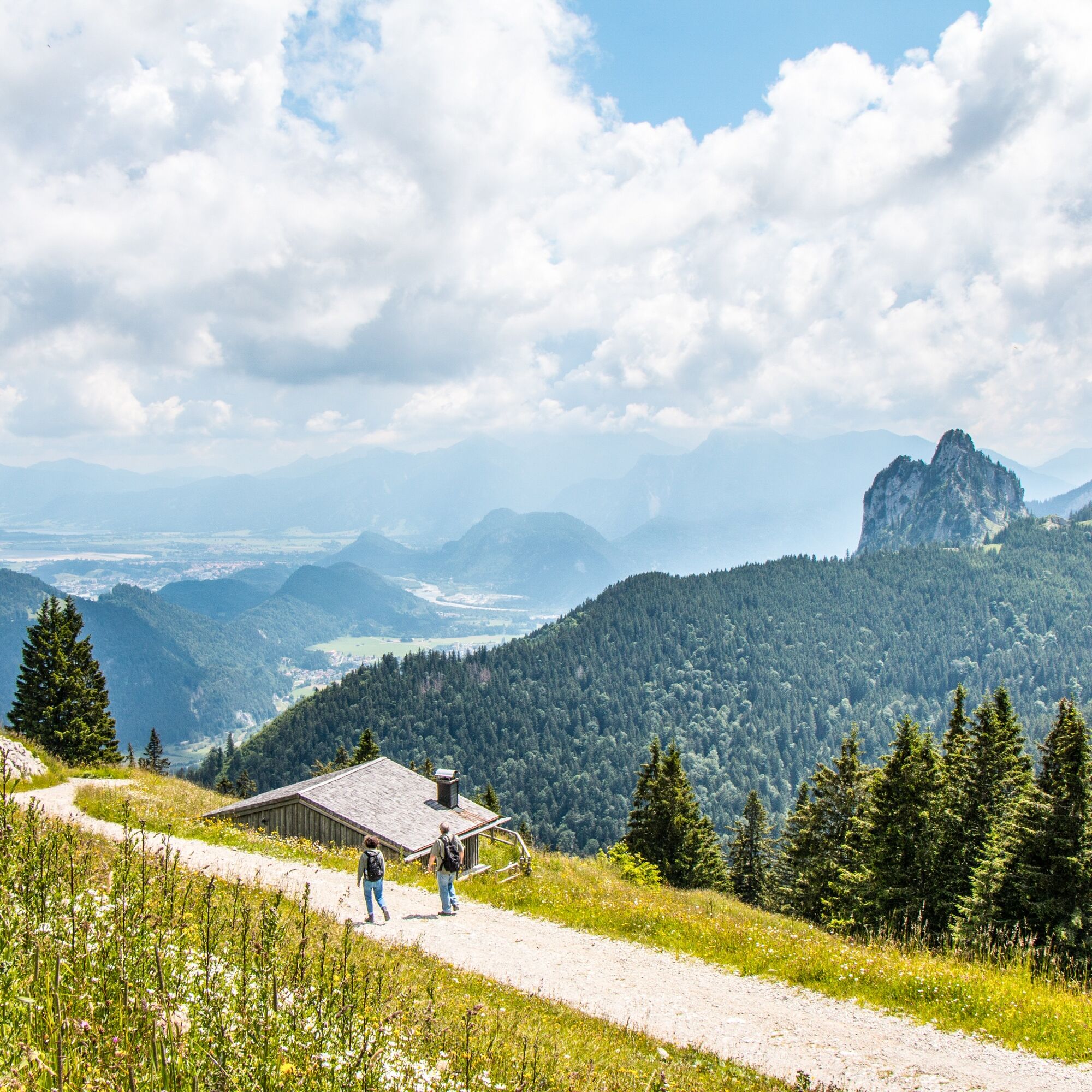
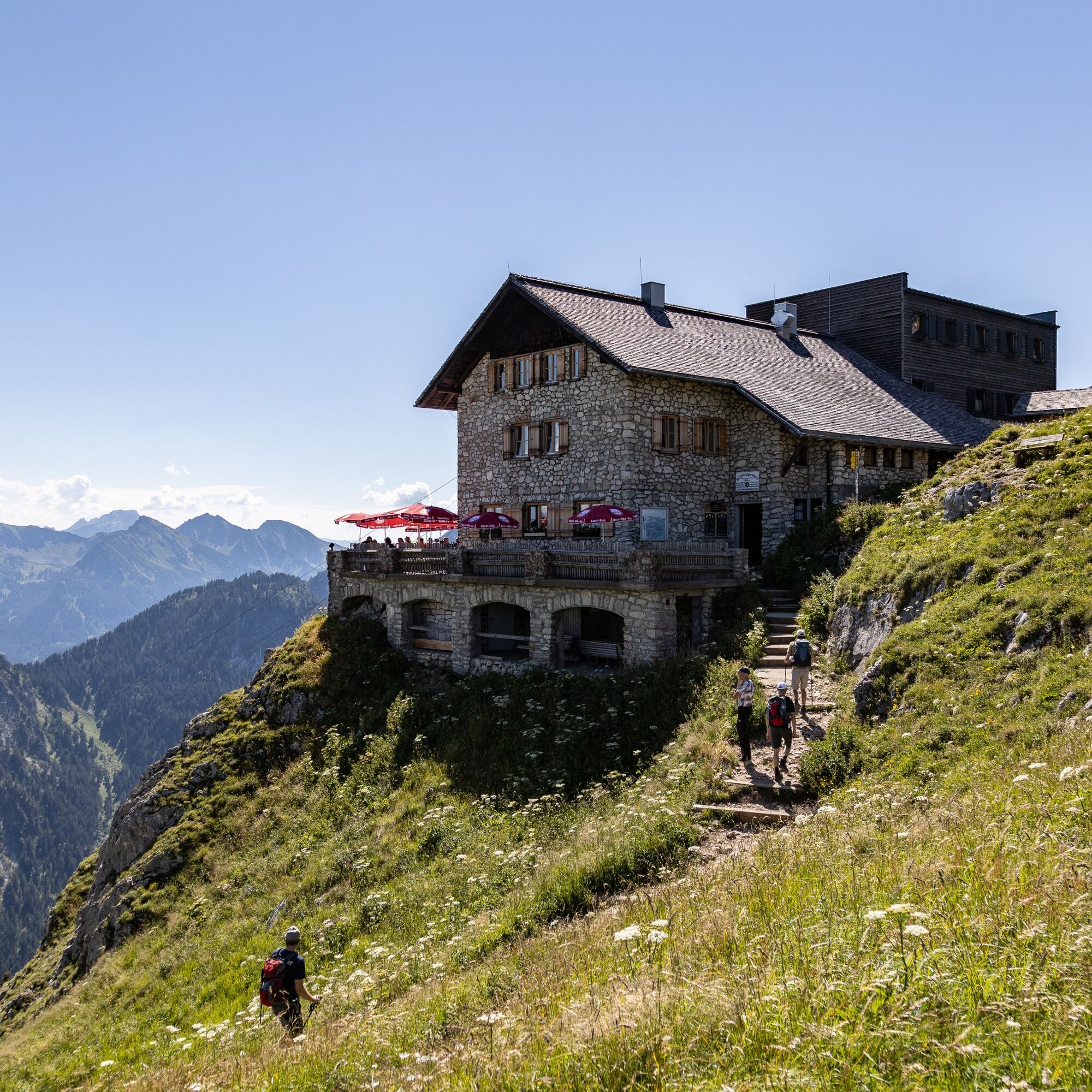
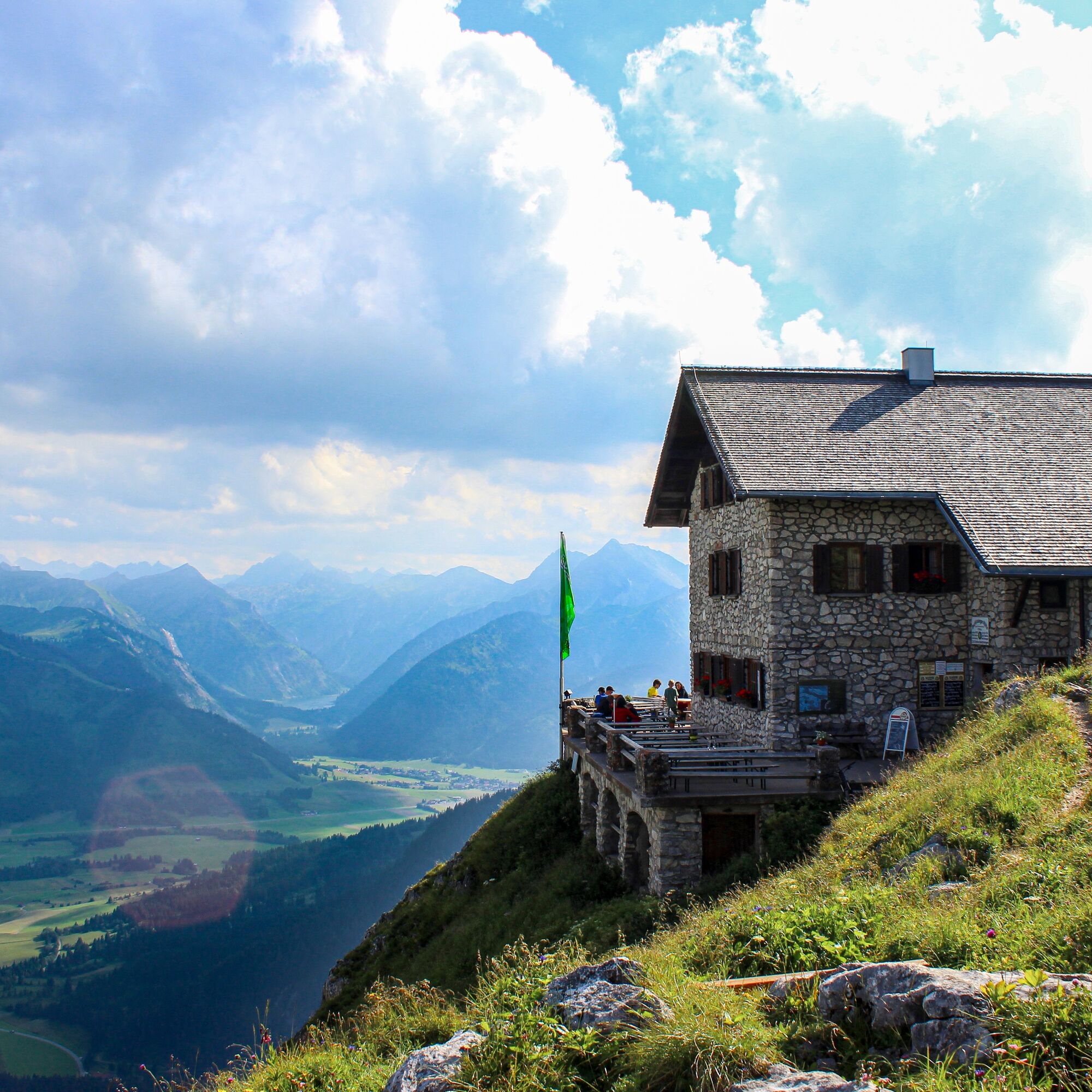
For the return, follow the path to the Bad Kissinger Hut. Here you can take a well-deserved break and refresh yourself. Then continue via the Böser Tritt to the Hochalphütte. Here you have another opportunity to stop, before you take the return journey to the valley by the Breitenbergbahn.
This hike offers an exciting combination of challenge and breathtaking nature and is perfect for experienced hikers who want to fully enjoy the beauty of the Alps!


Áno
Áno
Take the train to the station in Pfronten-Steinach. The valley station of the Breitenbergbahn is located directly opposite the station.
There are plenty of parking spaces available at the valley station of the Breitenbergbahn.
T3


Webové kamery z prehliadky
Získajte prehľad
Vždy naživo na mieste s viac ako 9 500 webovými kamerami. bergfex Ako používateľ Pro si teraz môžete pozrieť príslušné webové kamery pre mnohé zájazdy v aplikácii zájazdy z. Môžete si tak priamo prezerať aktuálne podmienky.


Obľúbené výlety v okolí
-
4,9
Hiking tour to Breitenberg
ťažkéTuristika 15,6 km -
4,7
Around Weißensee
svetloTuristika 6,12 km -
4,9
Gemeinde Grän, Tirol/Österreich Aggenstein Rundtour über Höhenweg
strednáTuristika 9,84 km -
4,8
K chate Bad Kissinger po horskej ceste Gräner Höhenweg
strednáTuristika 13,0 km -
4,8
Tannheim / Vilsalpsee / Landsberger Hütte
strednáTuristika 15,7 km -
4,7
Mountain hike to the Aggenstein
ťažkéTuristika 15,3 km -
4,7
Panorama route to the Ostlerhütte
strednáTuristika 5,11 km -
4,8
Iseler und Kühgundkopf
strednáTuristika 7,63 km -
4,3
Trasa okolo troch jazier (ocenená tirolskou pešou turistickou pečaťou kvality)
strednáTuristika 14,8 km -
4,7
3-Gipfel-Tour
strednáTuristika 11,2 km
Turistika a stopovanie


Nenechajte si ujsť ponuky a inšpiráciu na ďalšiu dovolenku
Vaša e-mailová adresa bol pridaný do poštového zoznamu.





