


"Kollenburg, forest and meadow valley" - CF2

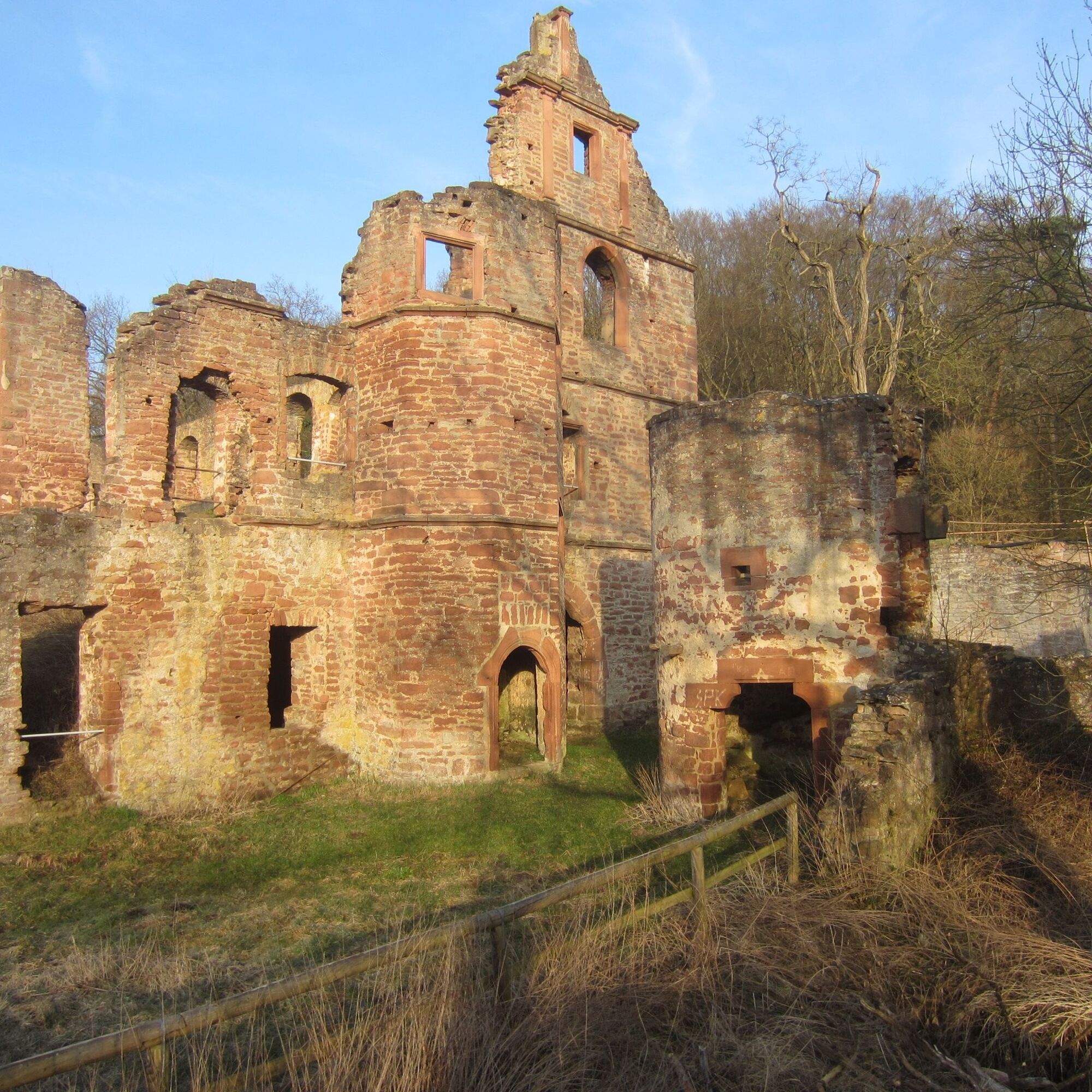
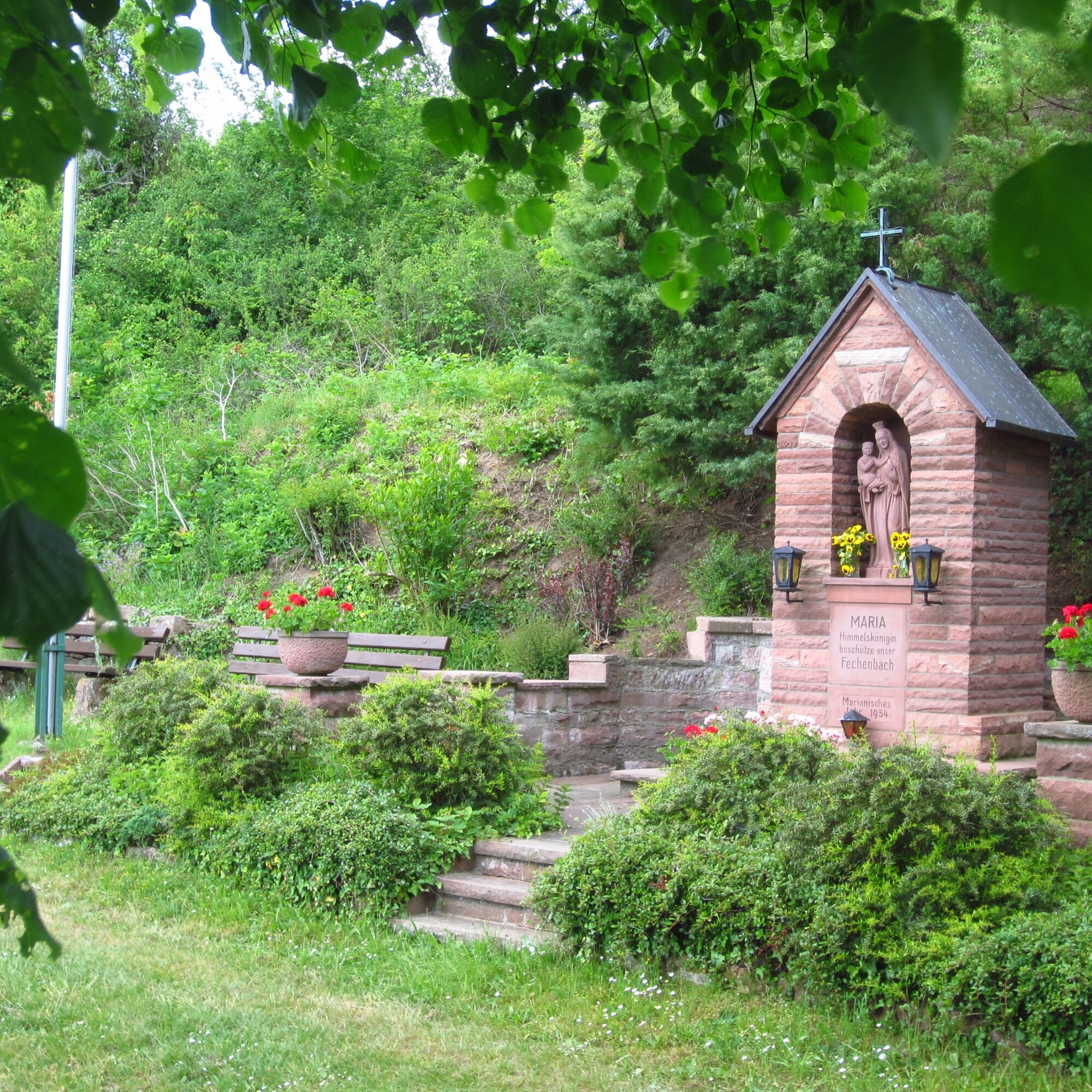
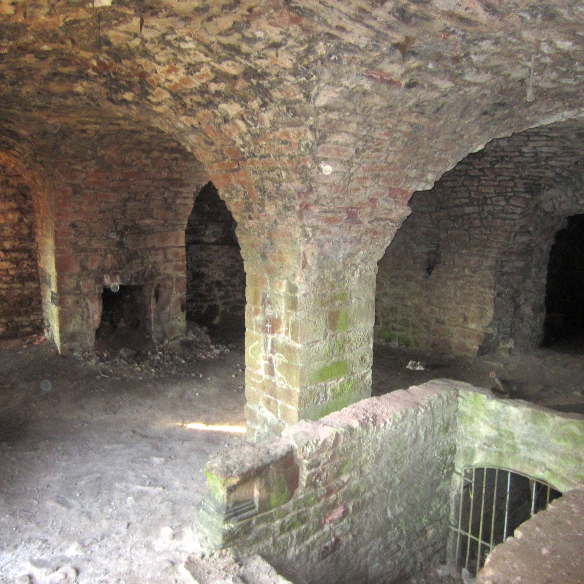
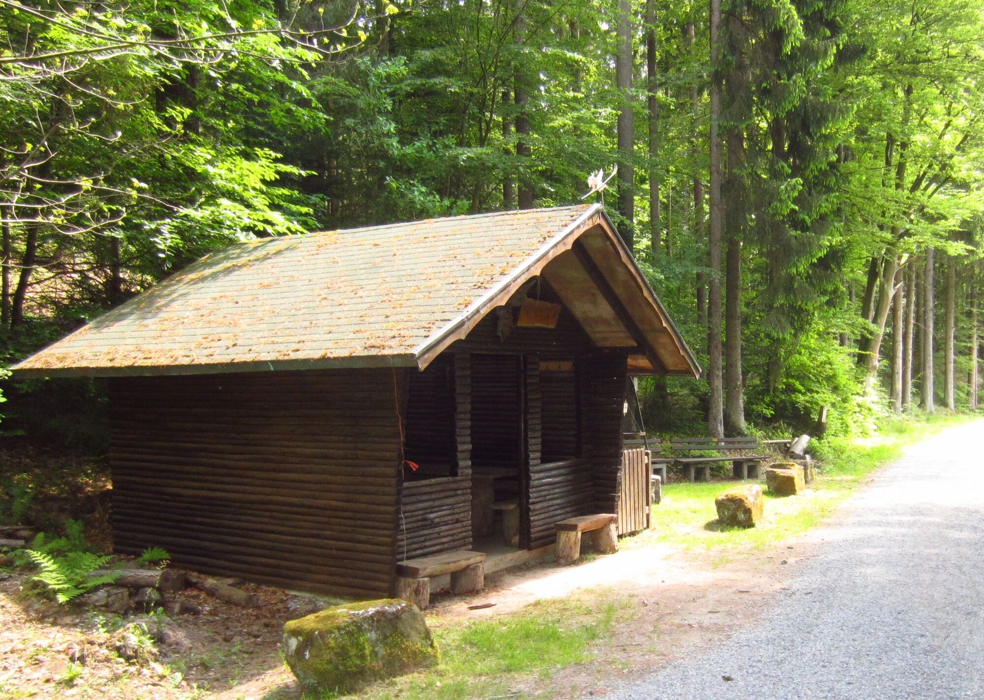
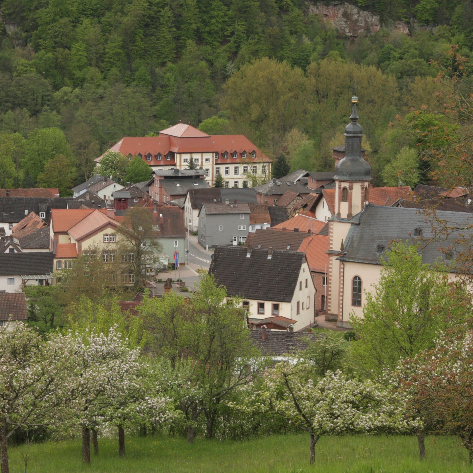
Starting from the parking lot at the cemetery in Fechenbach, we ascend steeply via Marienweg and E8, where the stations of the cross lead us to the “Marienruhe,” which offers us not only a chance to catch our breath and reflect but also a nice view over Fechenbach. The E8 leads us through orchards and former vineyard terraces to the ruins of the Kollenburg. The visit to this castle ruin with its cellar vaults and the “neck ditch,” the former execution site, should not be missed. Leaving the castle through the gate, we take the path to the left ascending in switchbacks and then reach the hiking trail C2. We follow this beautiful path further uphill, pass a large stone pyramid, and occasionally have nice views to the left over extensively cultivated fields. At the Fechenberg crossroads, take the C2 downhill to the left and after 100 meters you reach the Waisenhausstein crossroads and the hiking trail C1. A detour downhill to the left on C1 leads to the “Waisenhausstein,” marking the spot where two children died upon finding an unexploded bomb. The route continues on C1 slightly uphill to the right before the path turns downhill leading to the valley floor and to the “Brückenbrunn,” an idyllic rest area and the nearby shelter. The path past the hut downhill in the valley is a pure indulgence for the eyes, mind, and legs, leading steadily downhill past the shooting range until the path crosses the stream. There, turn left and walk directly along the stream to the St. Stefanus Church, past it to the town hall, and then via Cemetery Street back to the parking lot.
Coming from Würzburg via the A3 (exit Wertheim or Marktheidenfeld and then on the right bank of the Main through the South Spessart, from Frankfurt via Miltenberg towards Wertheim and crossing to the Main side in Freudenberg, you are already in Collenberg-Kirschfurt and drive 5 km further to the district of Fechenbach.
By train from the direction of Miltenberg or Wertheim to the Collenberg stop, then a 5-minute walk to the town hall
Parking spaces for cars at the town hall or at the cemetery in Fechenbach
Obľúbené výlety v okolí
-
5,0
On the way to Himmelreich
strednáTuristika 15,0 km -
"Of Clay, Stones and Shards"
strednáTuristika 8,31 km -
4,0
Around the Kaffelstein
svetloTuristika 4,71 km -
5,0
Dorfprozelten: Kollenburg-Chapel-Route
strednáTuristika 11,8 km -
Wertheim - Urphar - Wertheim
strednáTuristika 12,8 km -
4,0
European cultural route: "From Hecke to Häcke in Hebboch"
strednáTuristika 10,2 km -
3,0
Franconian Red Wine Hiking Route - 4th stage from Erlenbach to Klingenberg
svetloTuristika 4,08 km -
5,0
Roman Route in Miltenberg M1
strednáTuristika 15,2 km -
Miltenberg - Engelberg Monastery - Kleinheubach Castle - round trip
strednáTuristika 12,6 km -
5,0
Klingenberg: Hiking Trail Schnepfe
strednáTuristika 5,03 km

Turistika a stopovanie


Nenechajte si ujsť ponuky a inšpiráciu na ďalšiu dovolenku
Vaša e-mailová adresa bol pridaný do poštového zoznamu.