







MTB Bäckersteig route

Úroveň náročnosti: S3
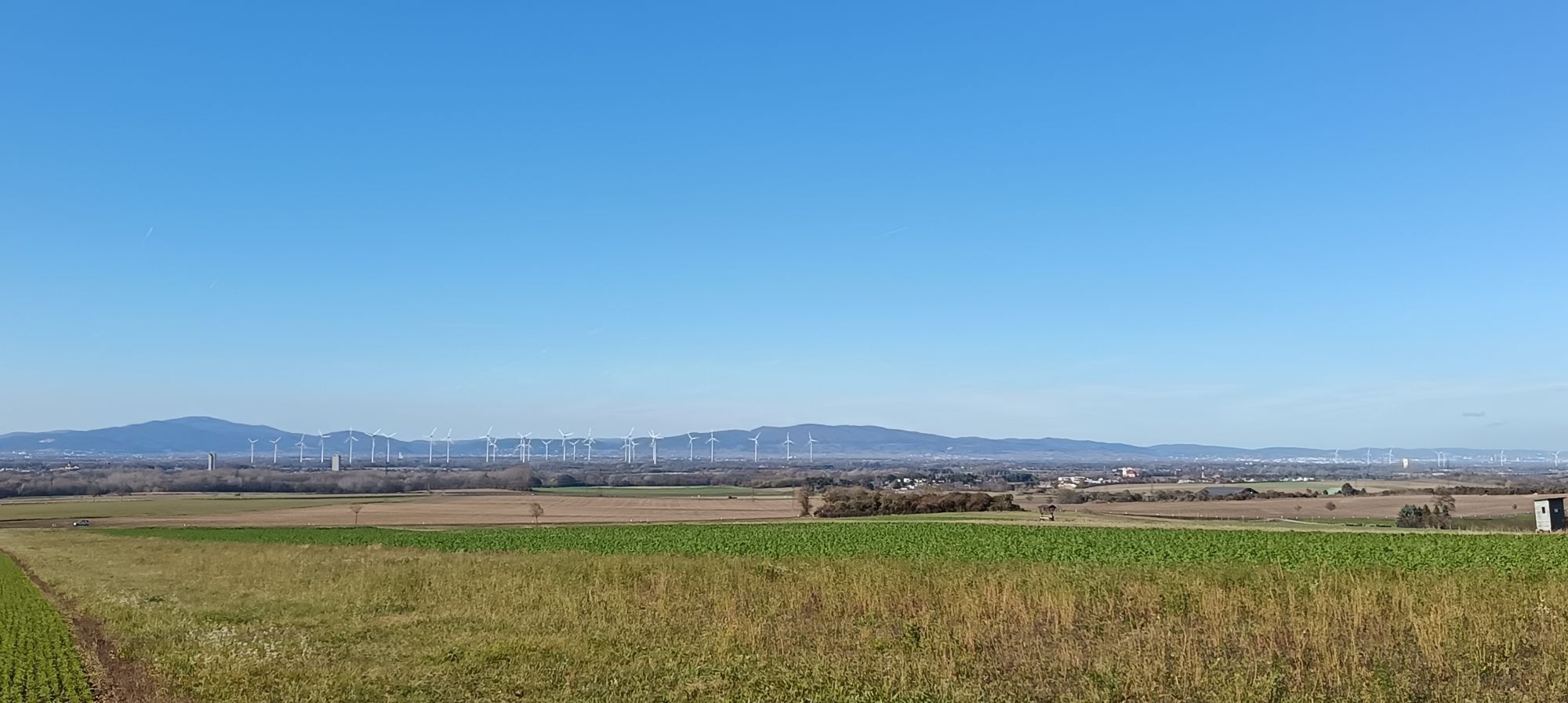
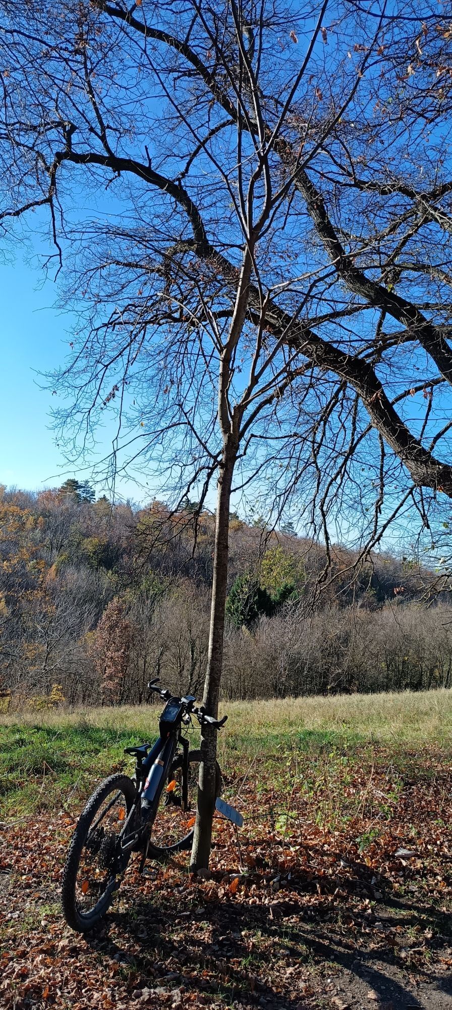

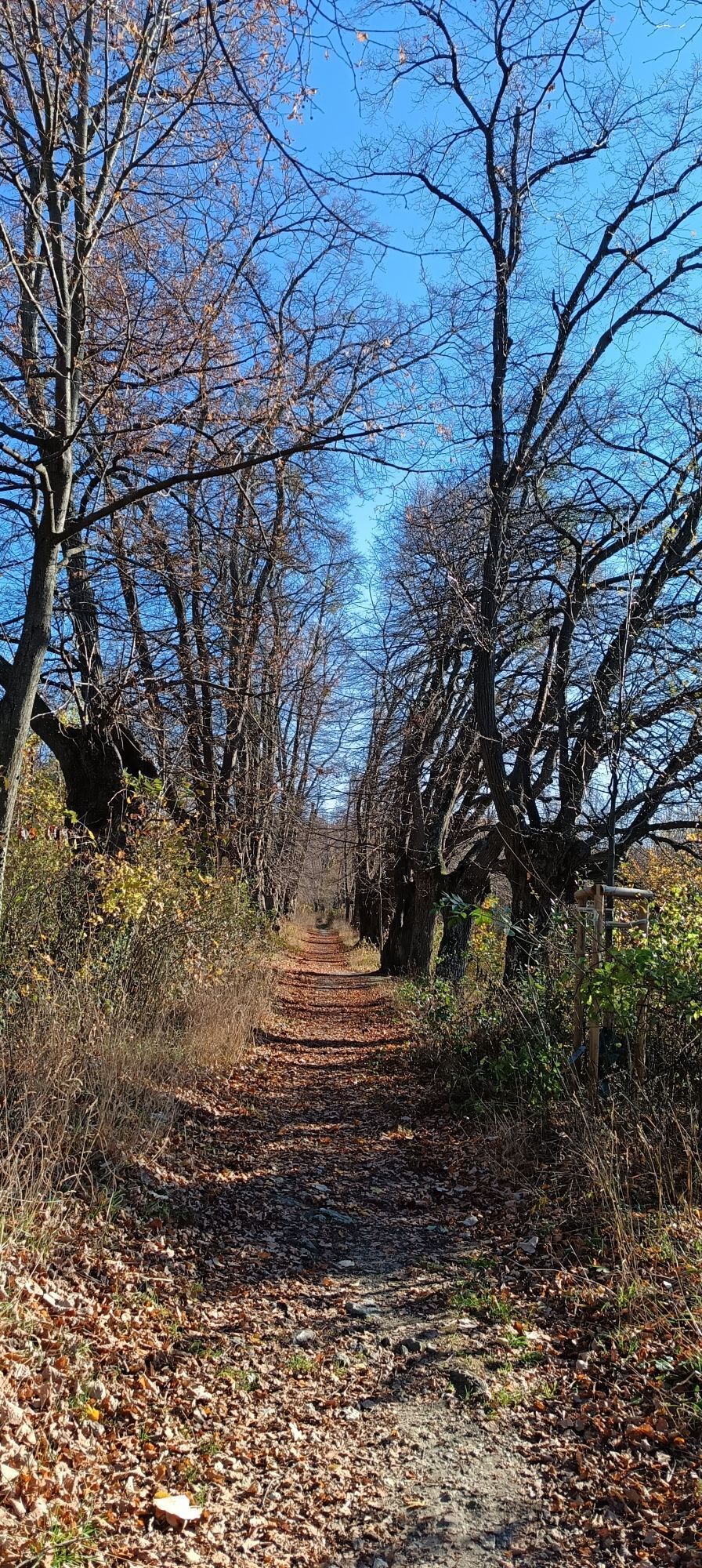
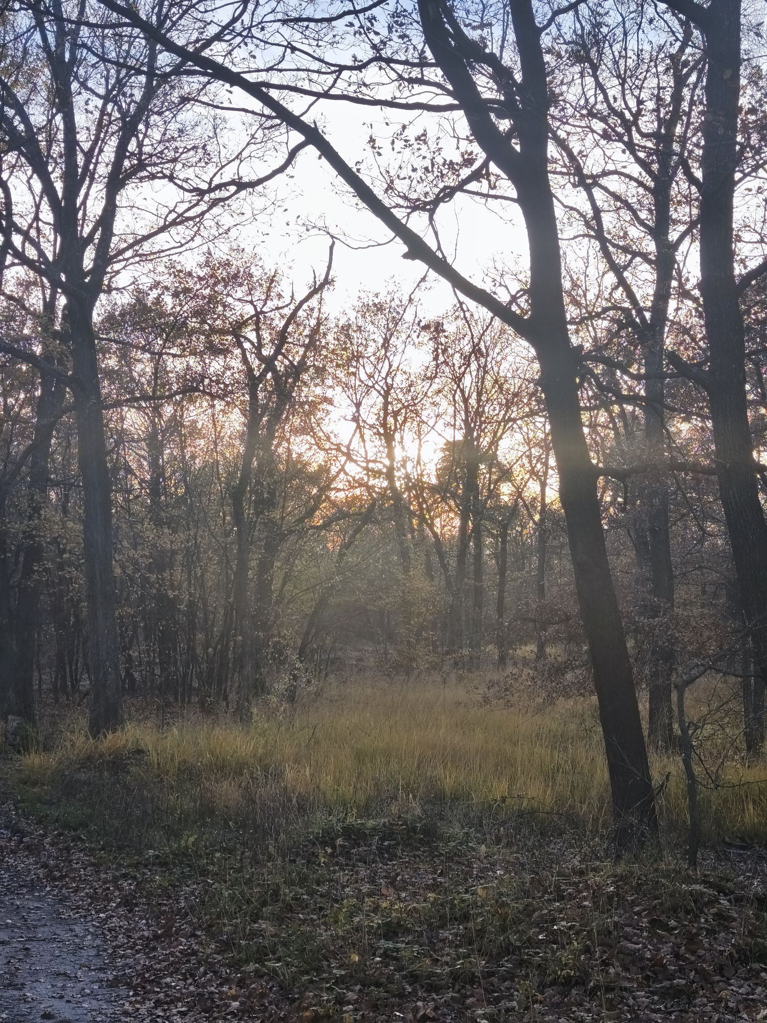
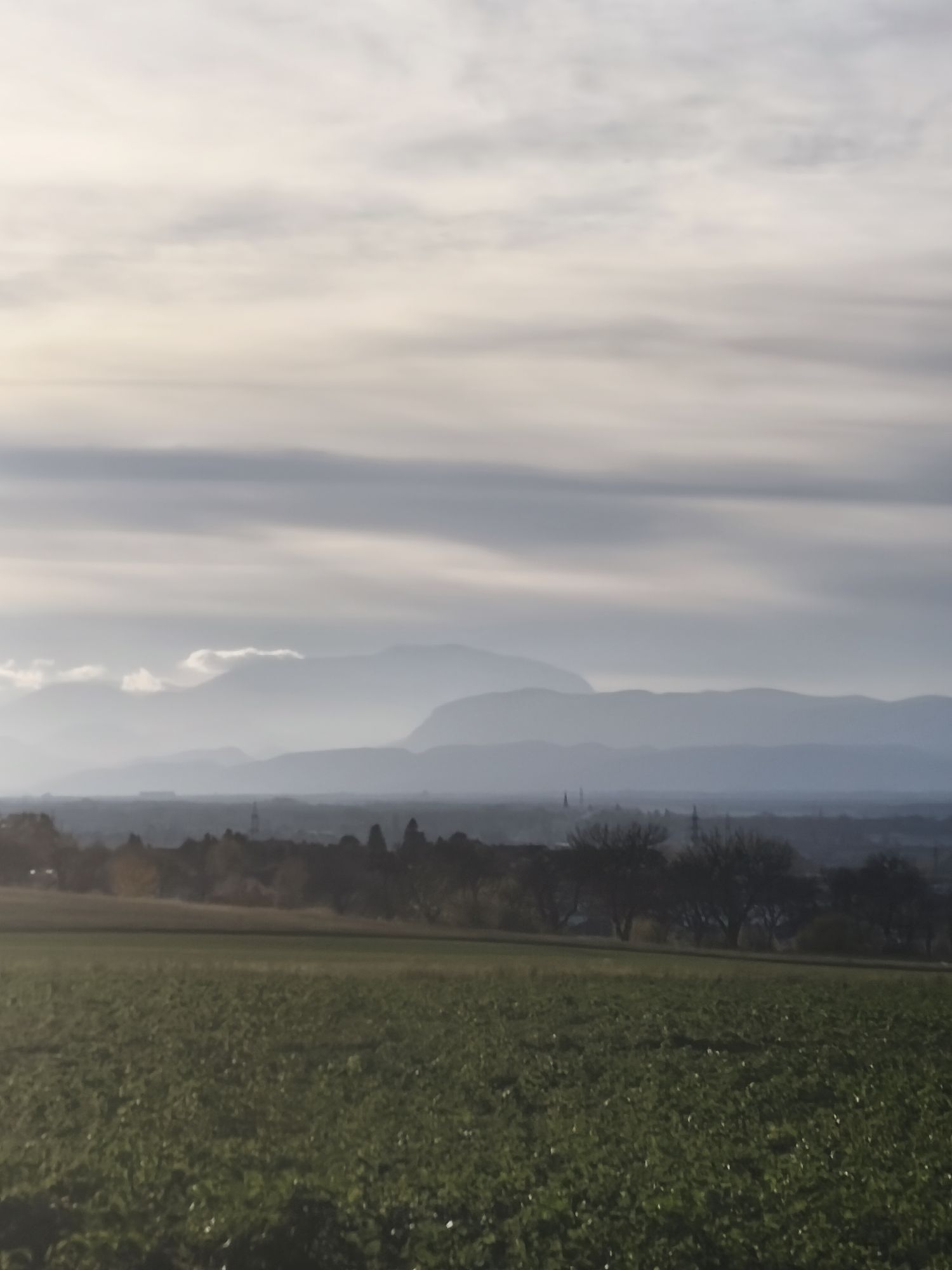
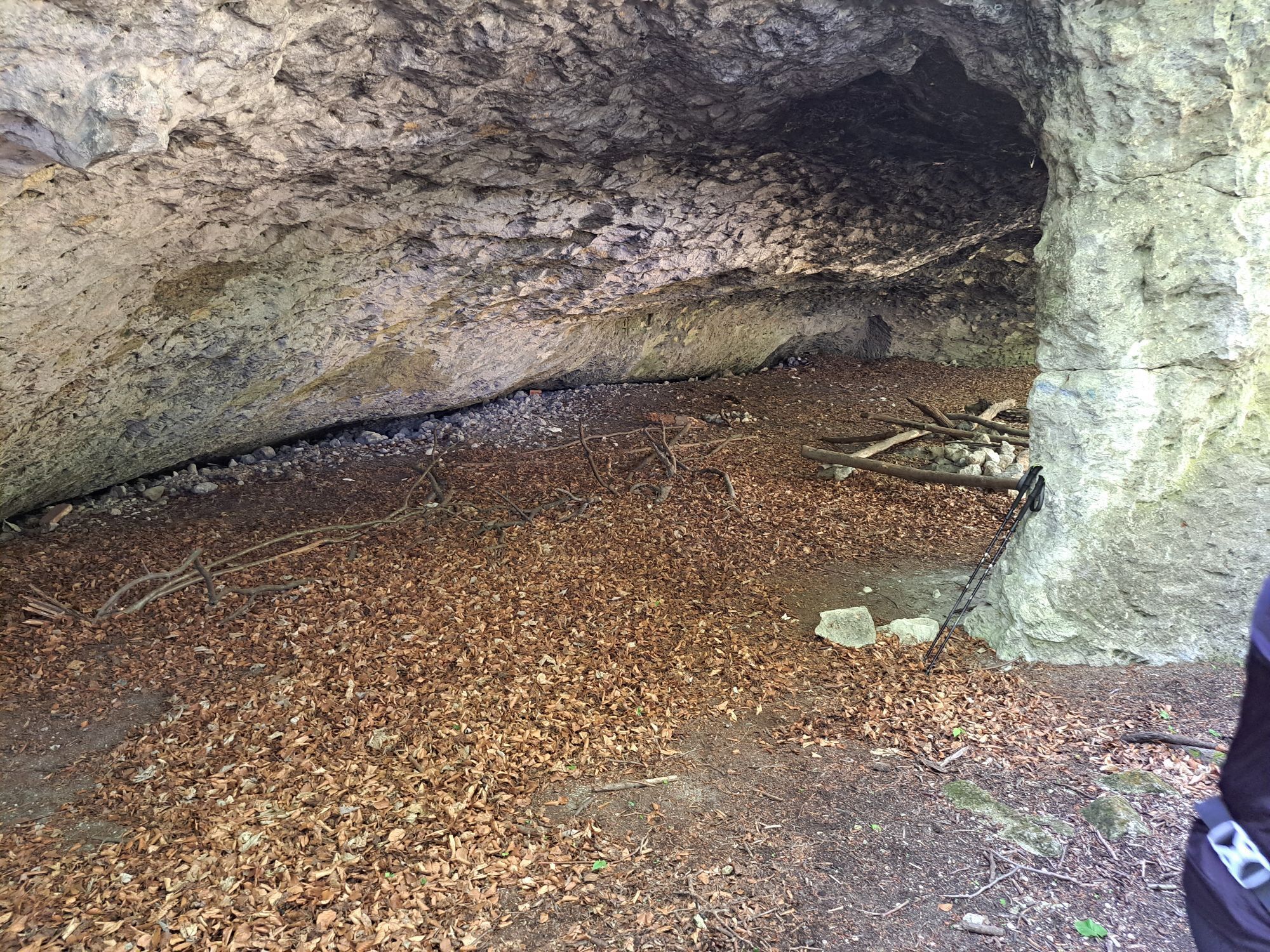
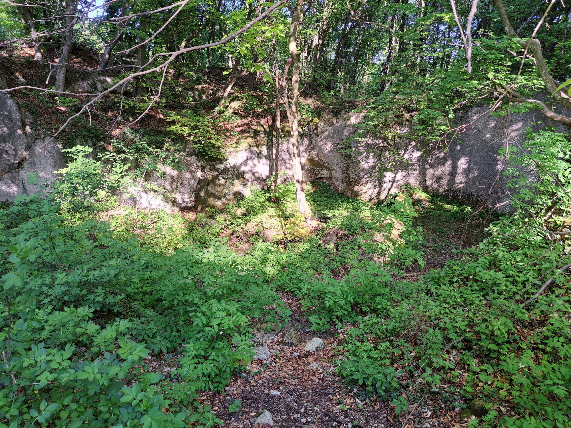
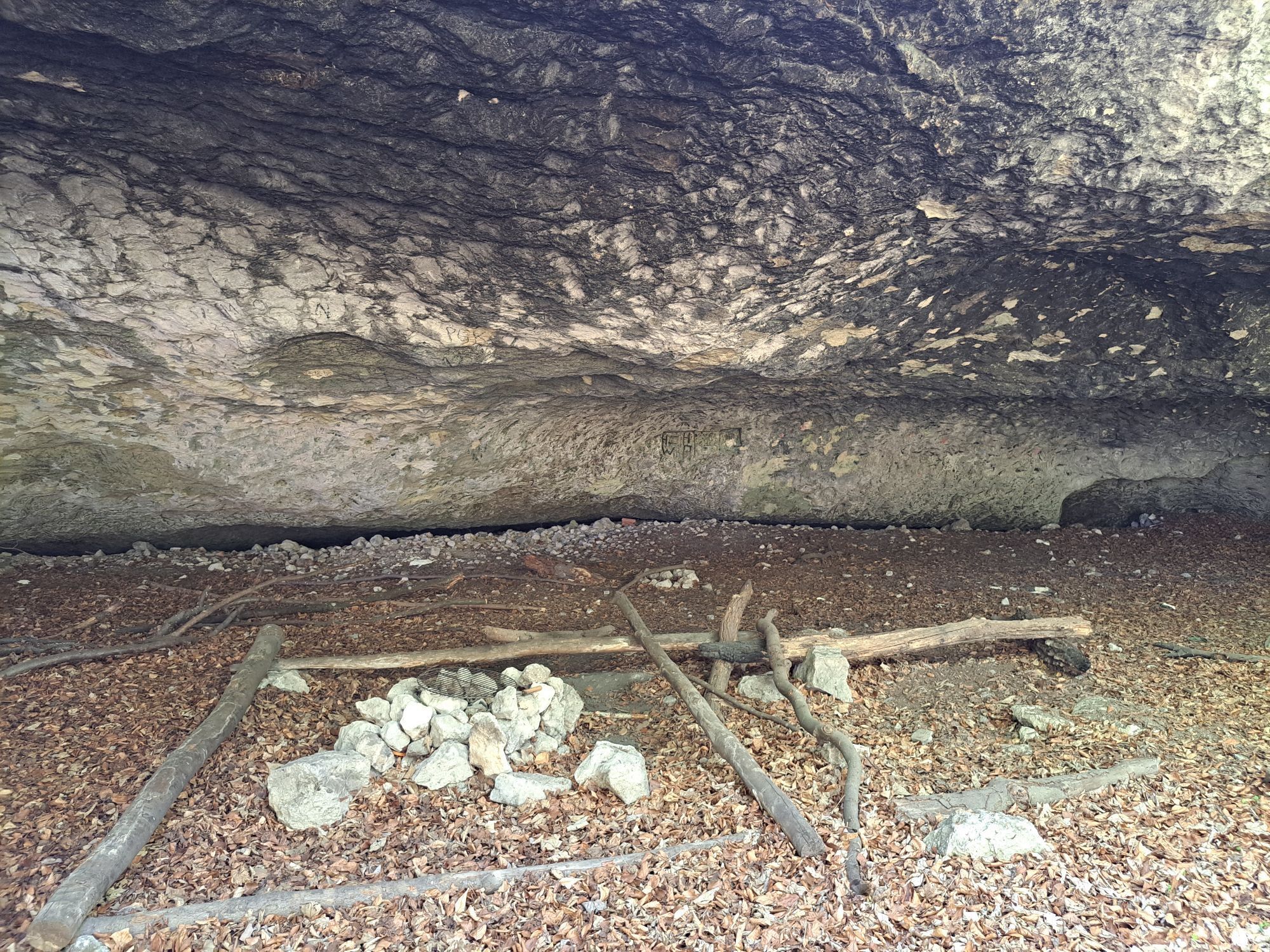
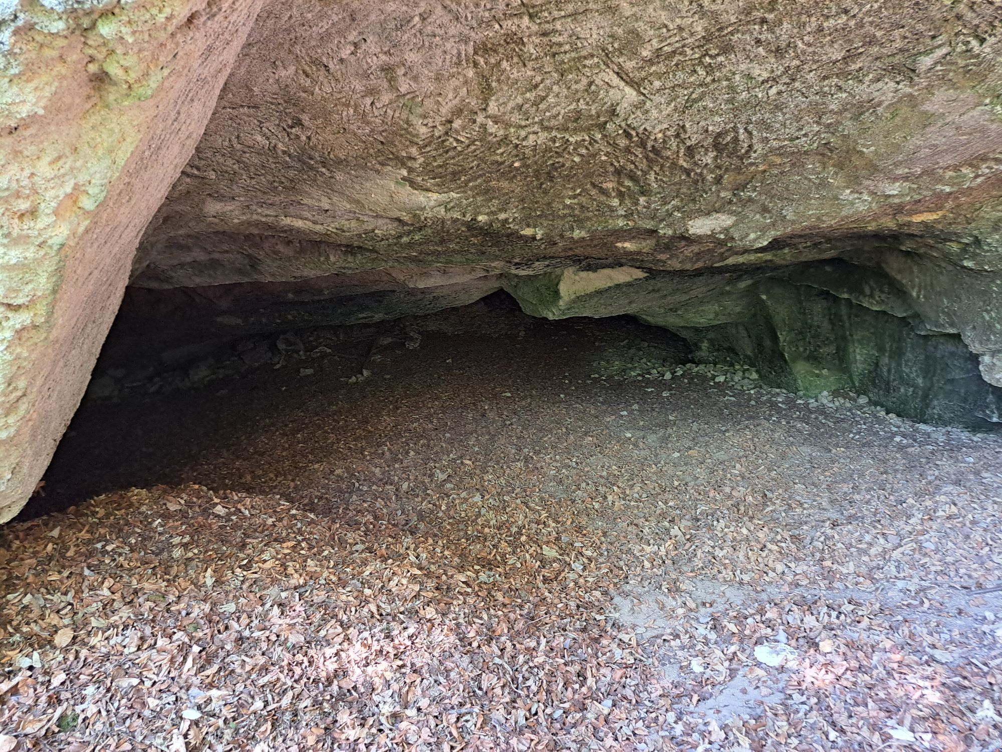
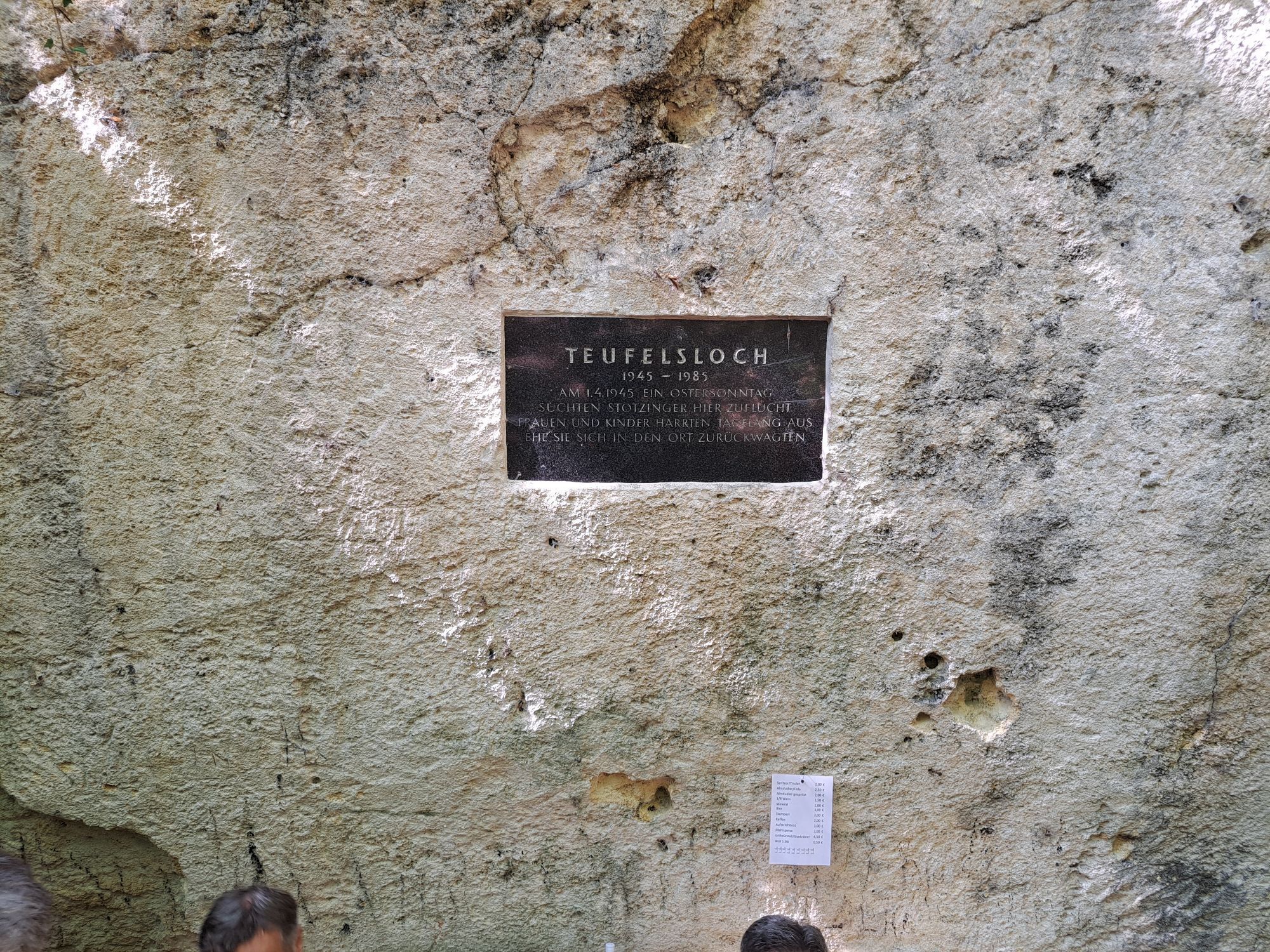
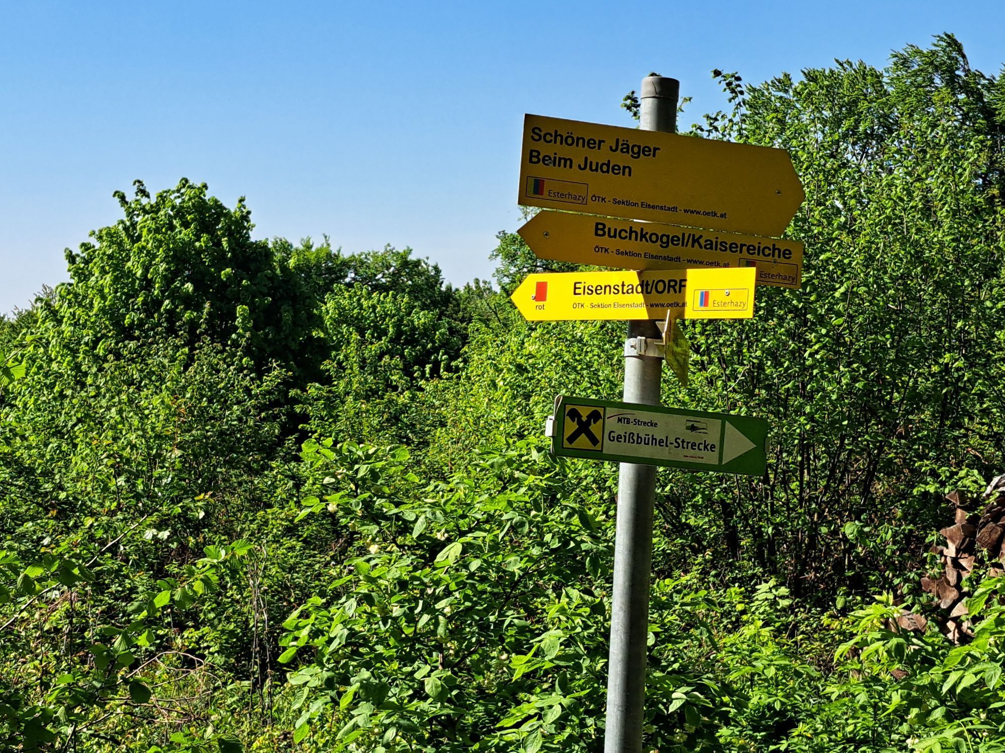
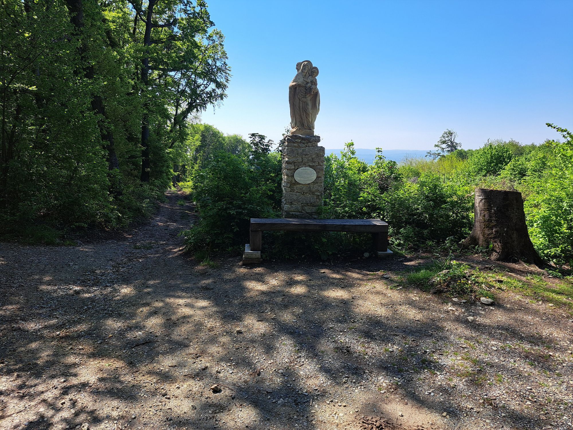
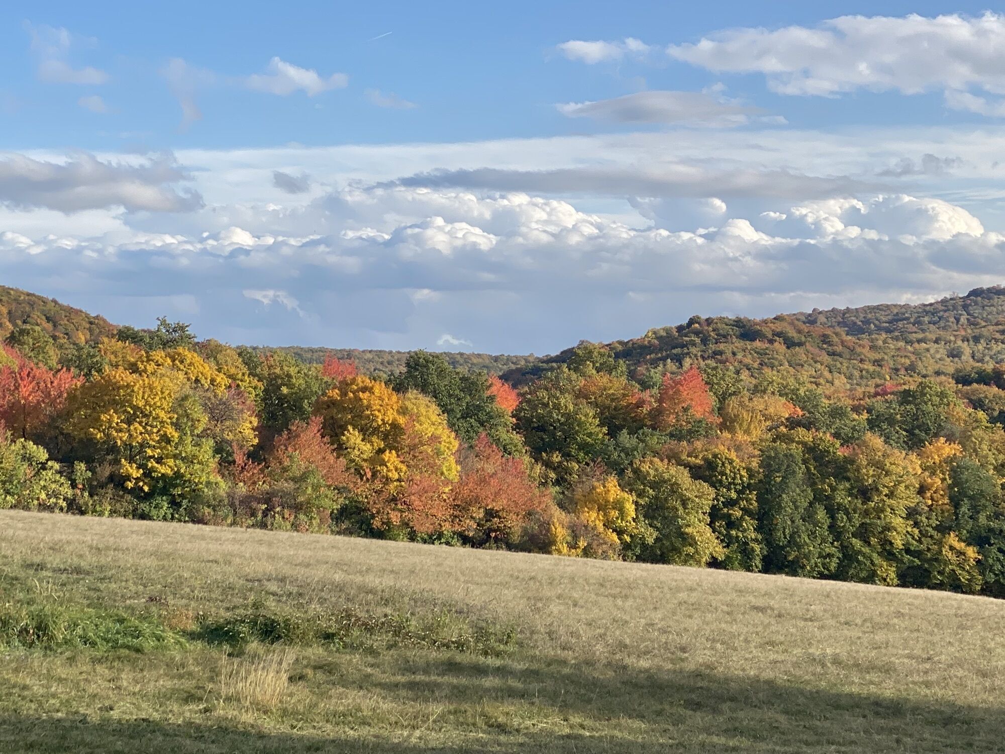
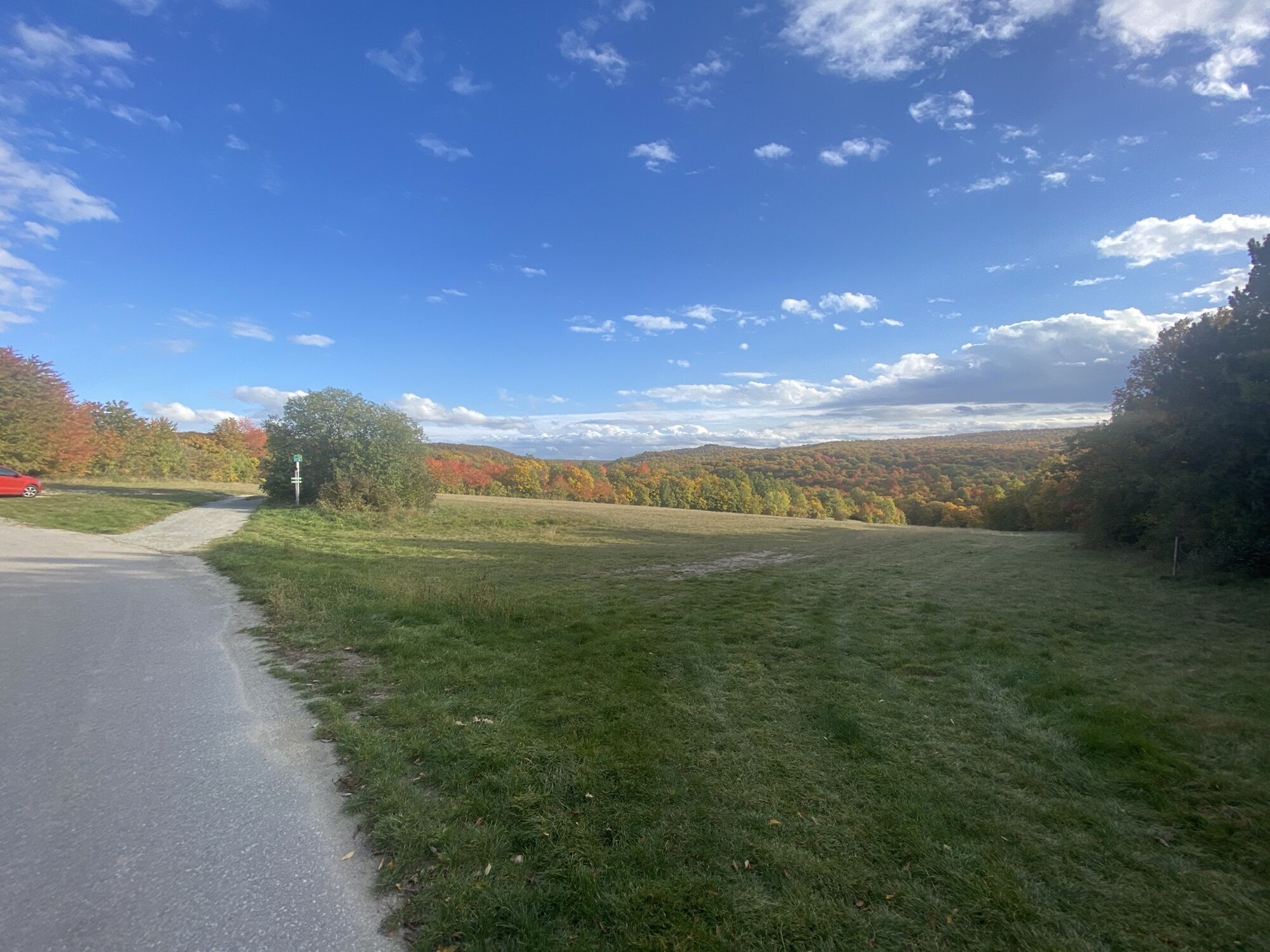
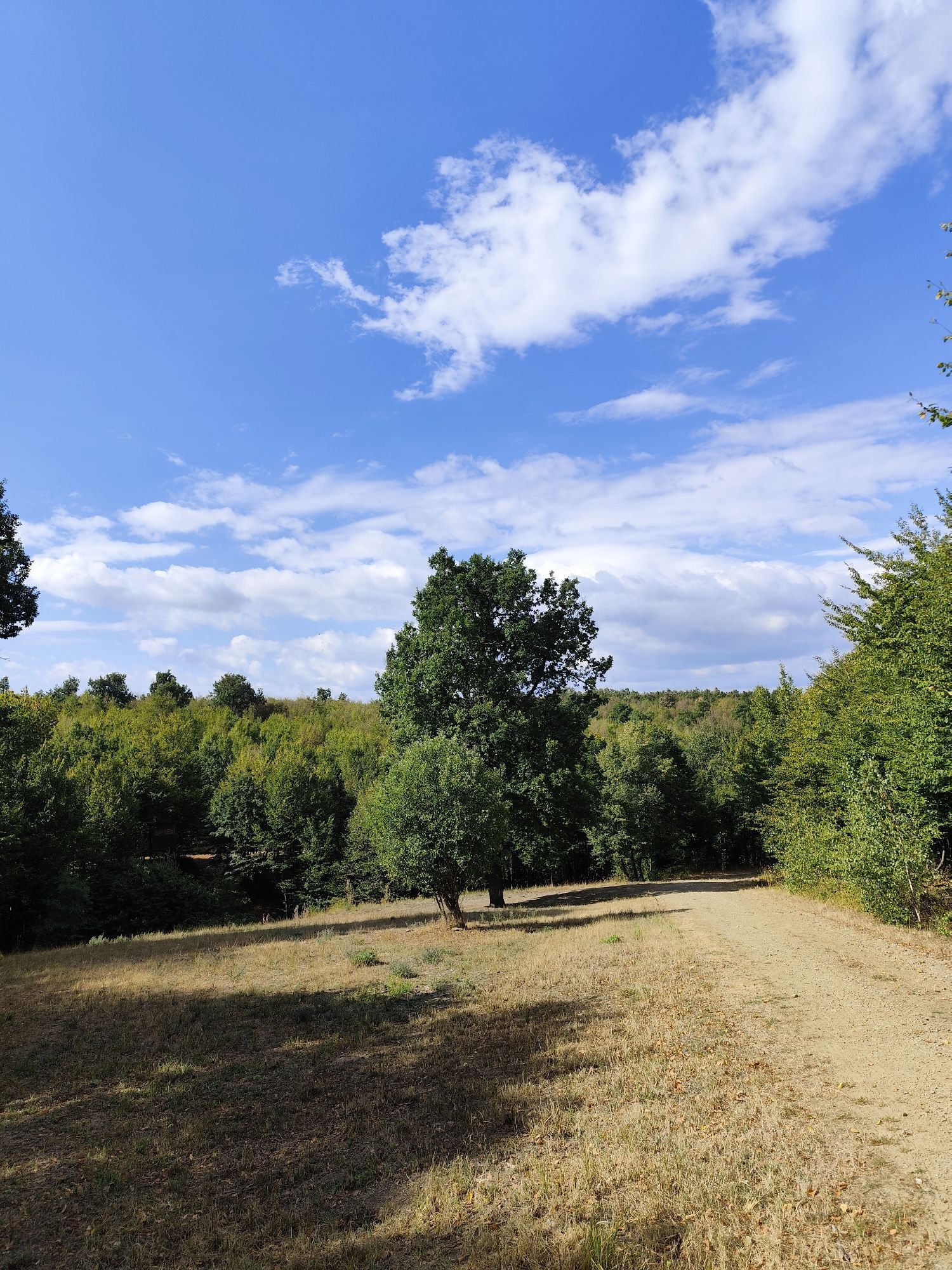
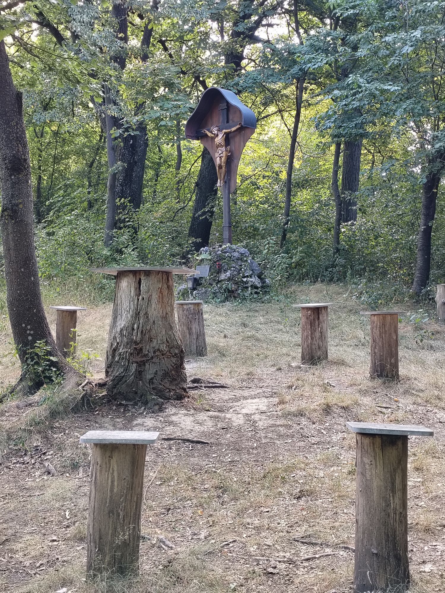
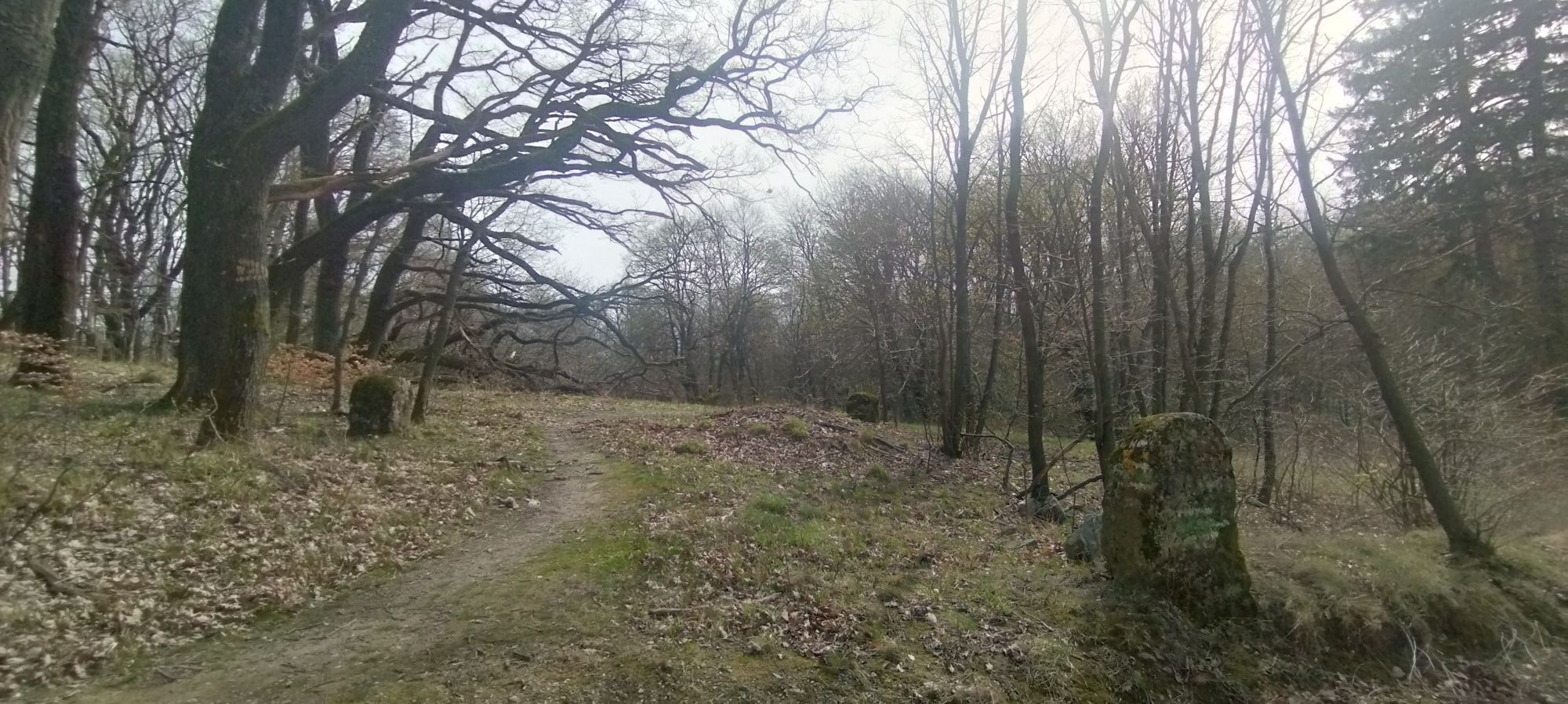
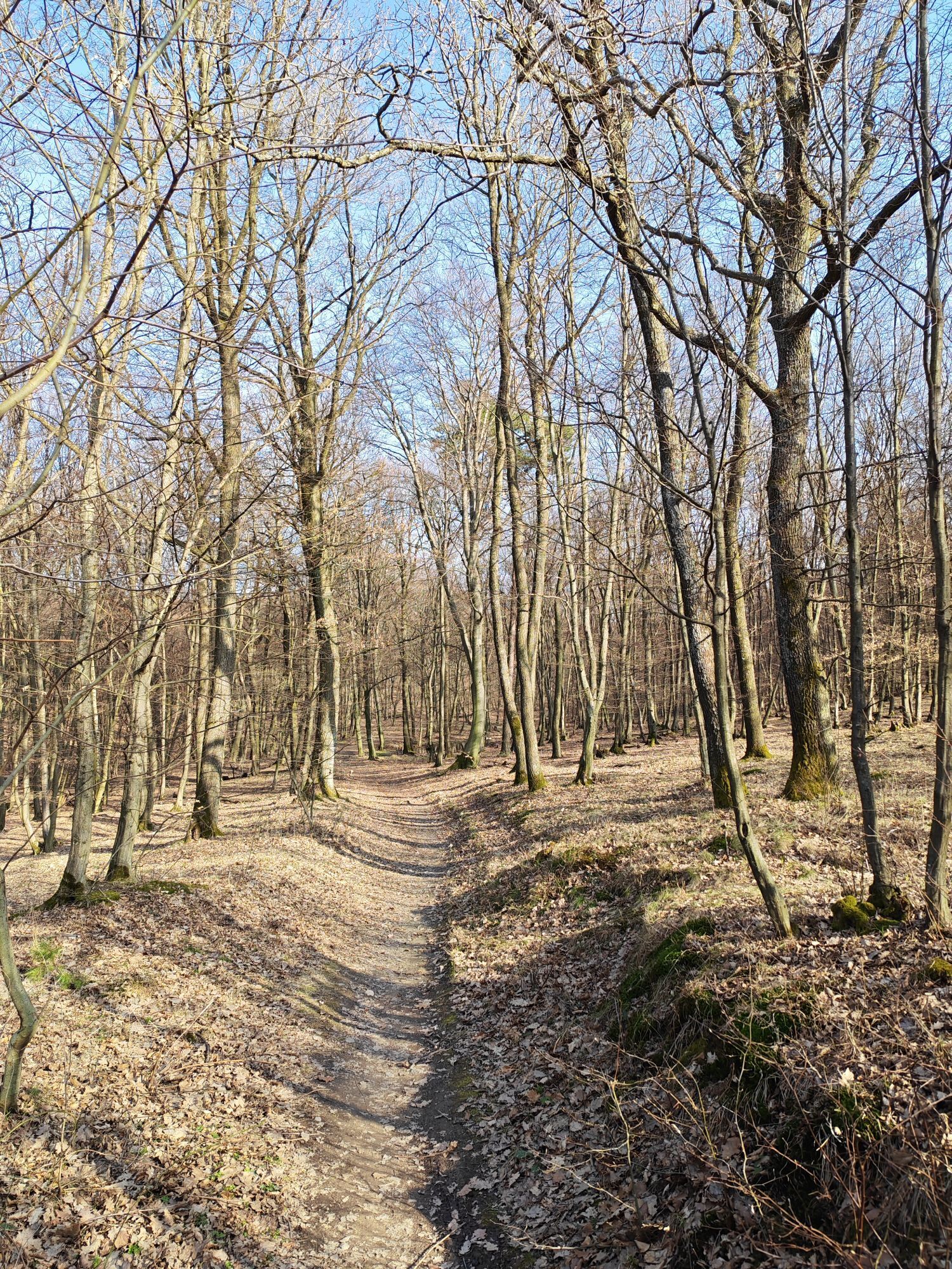
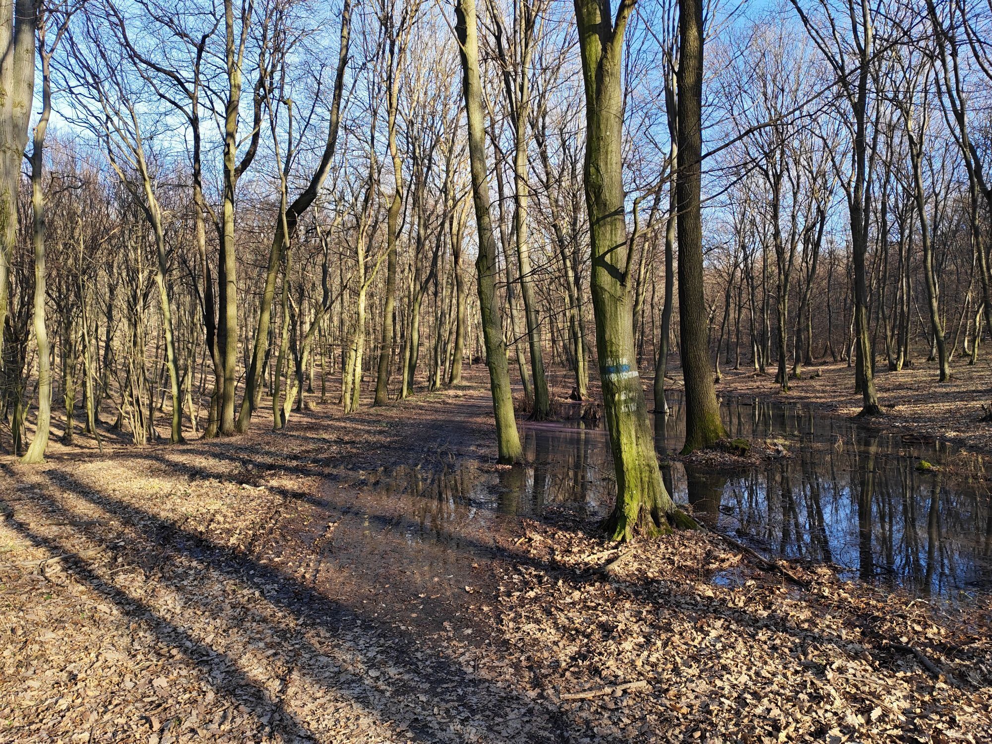
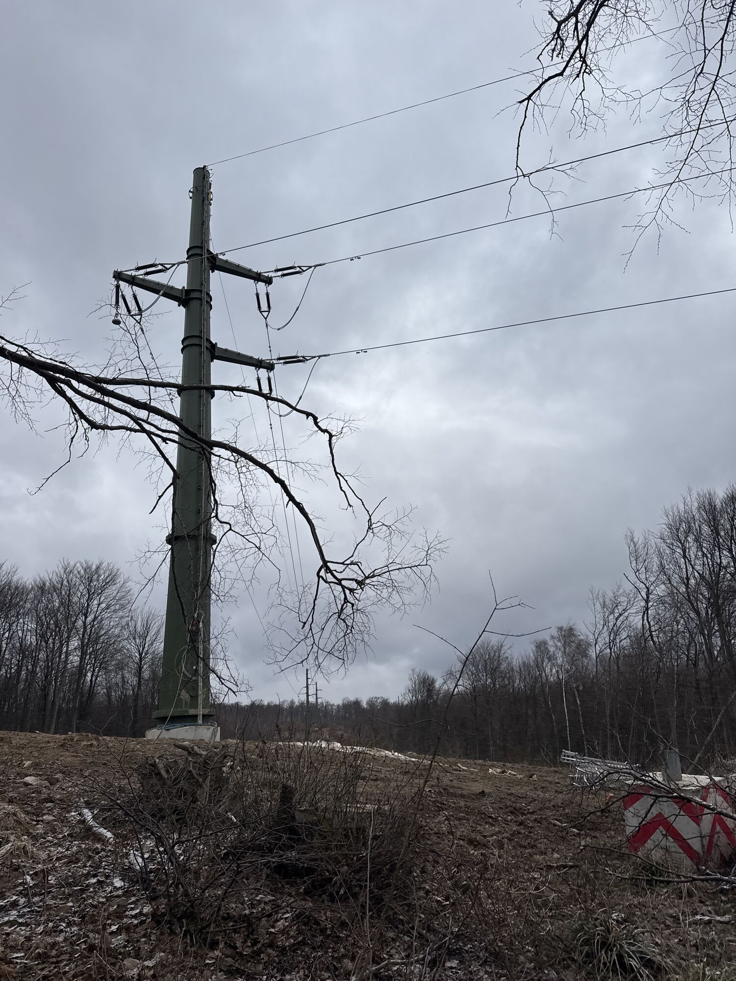
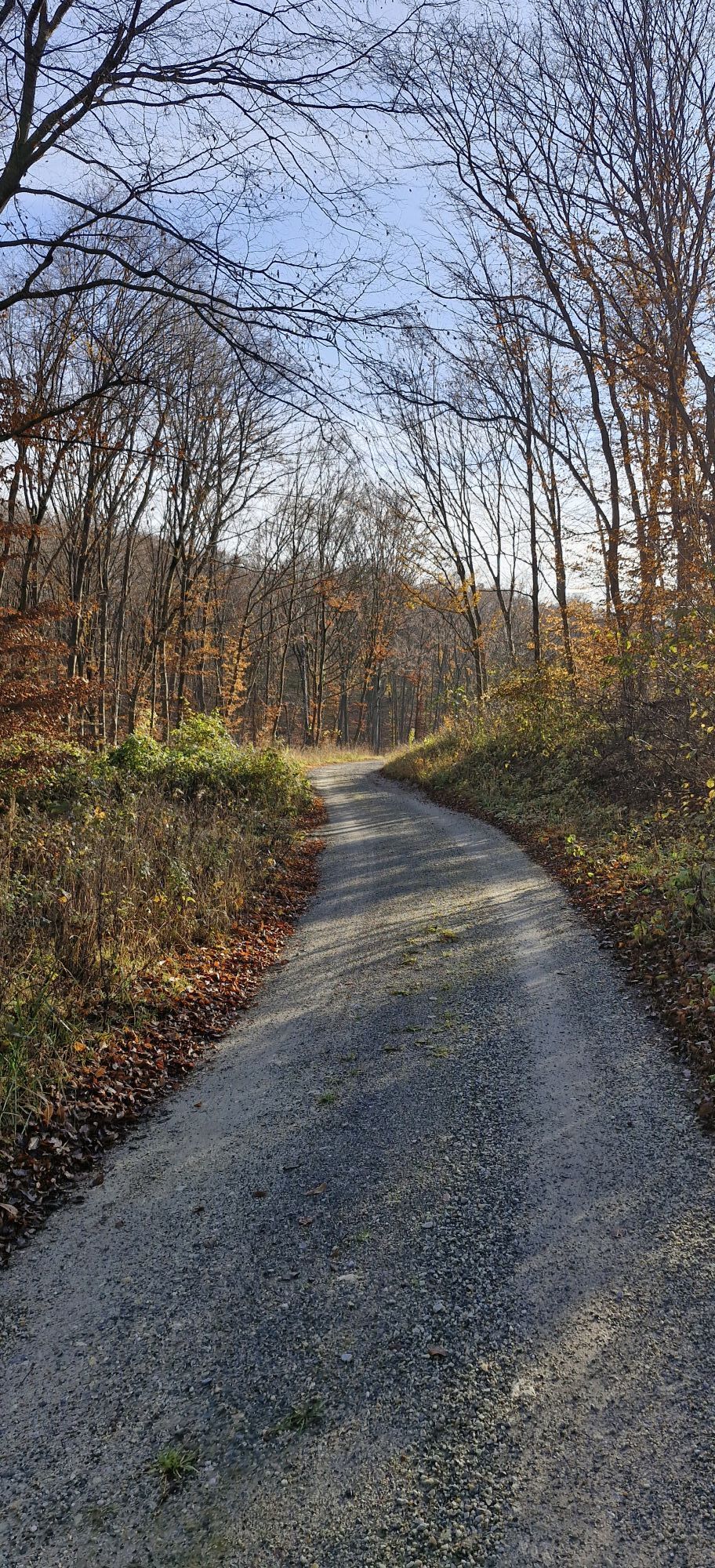

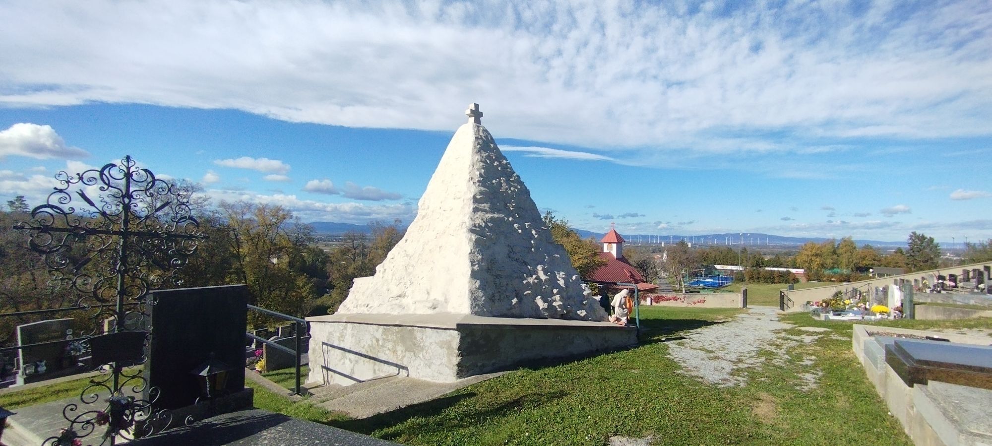
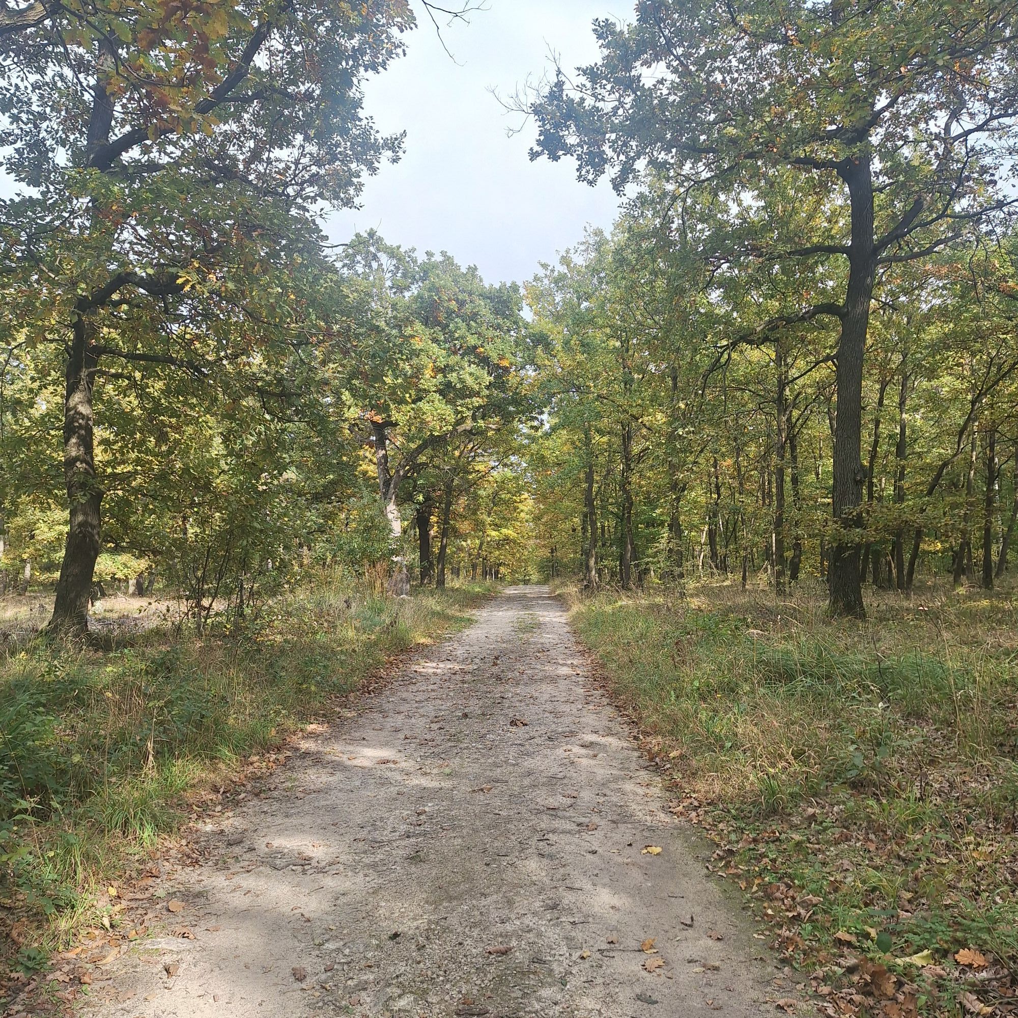
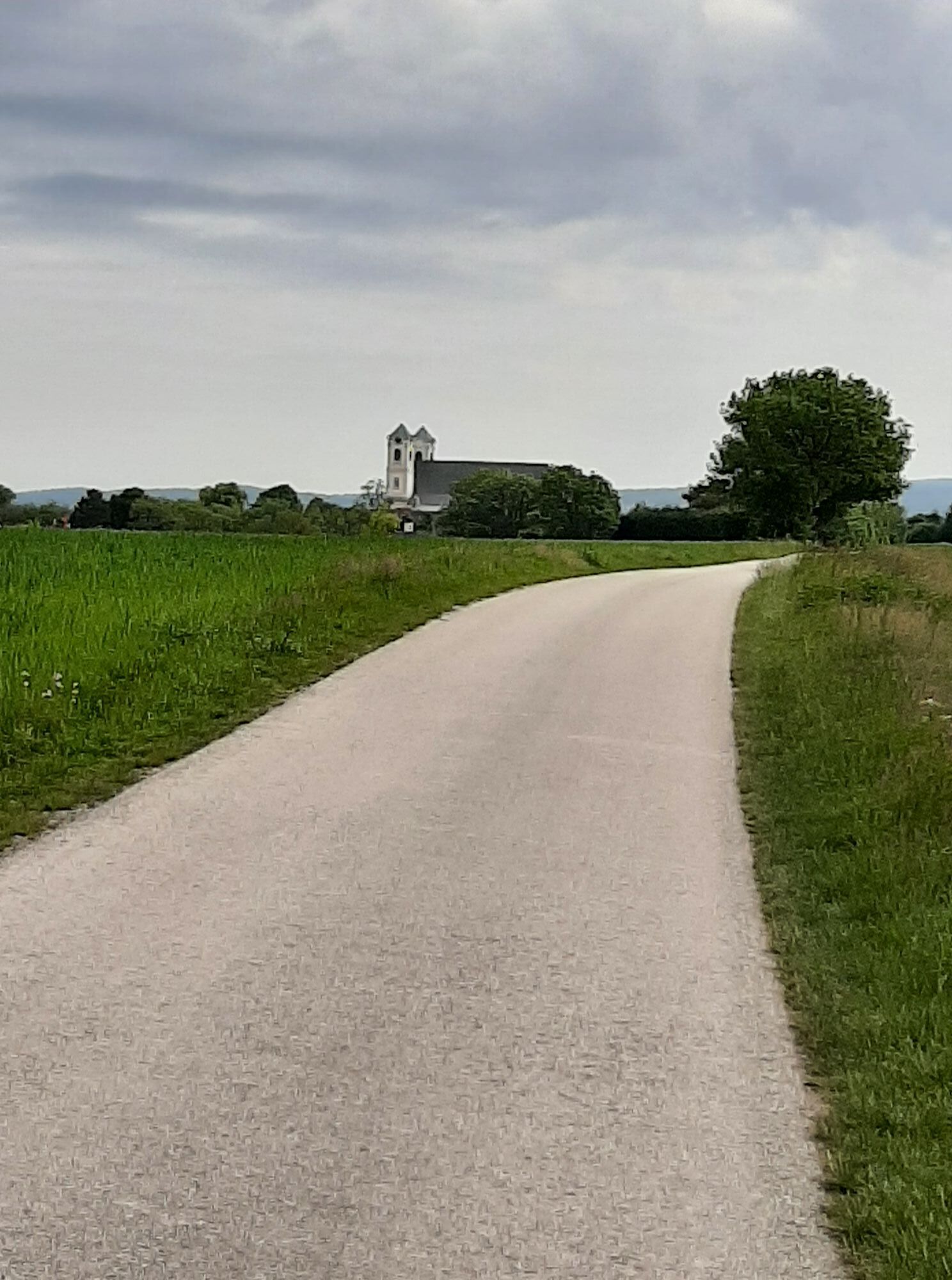
By bike through the Leitha Mountains - for this, the 60-kilometer mountain biking network around Eisenstadt and the Leithaland region offers the best conditions. Mountain bikers can expect varied routes...
By bike through the Leitha Mountains - for this, the 60-kilometer mountain biking network around Eisenstadt and the Leithaland region offers the best conditions. Mountain bikers can expect varied routes in intact nature here.
The signposted trails through the Leitha Mountains can be well mastered with your own muscle power. Sometimes narrow, sometimes wider paths through the intact forest of the Leitha Mountains bring the biker exciting moments in healthy nature. Whether beginner, leisure biker, or demanding rider – everyone gets their money’s worth here.

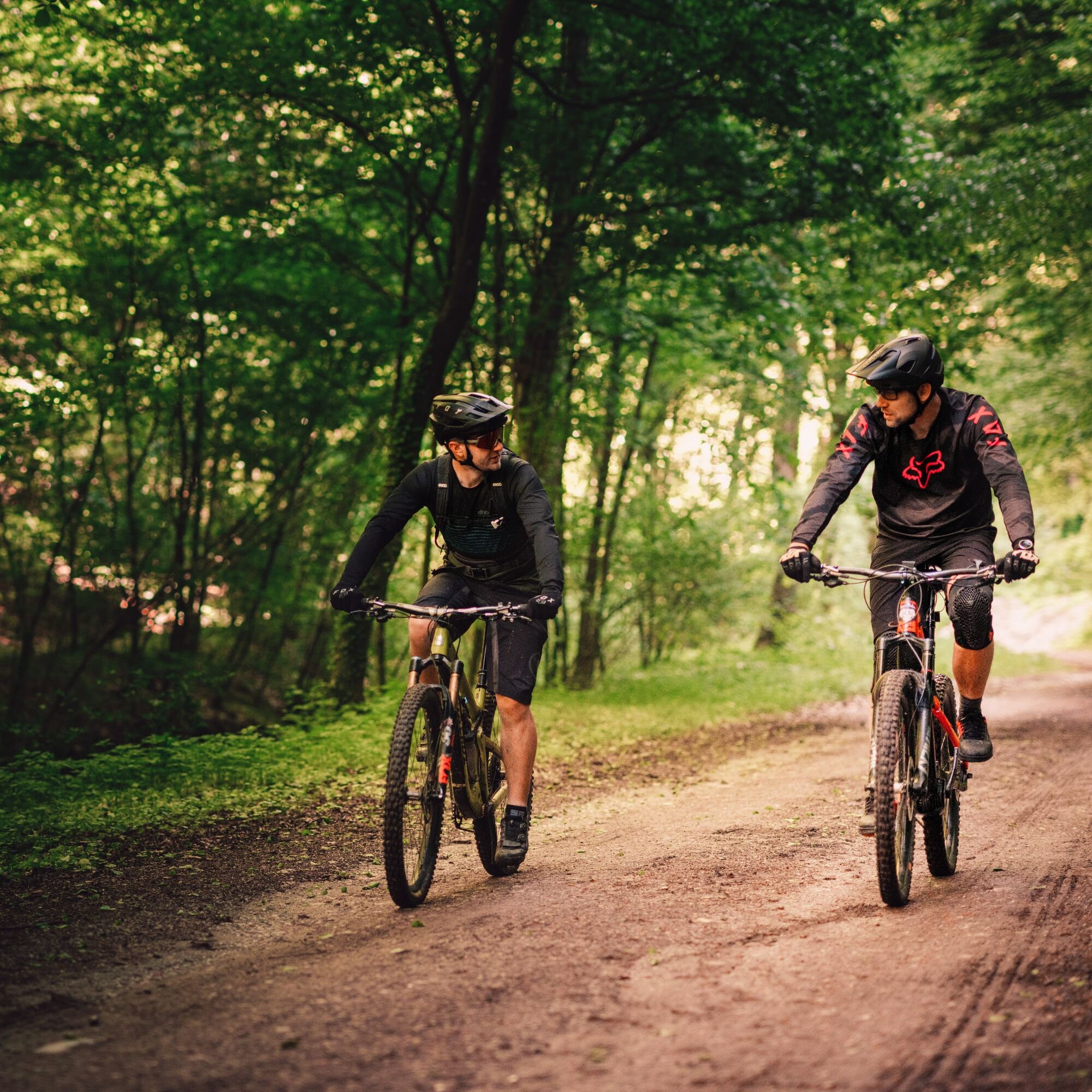
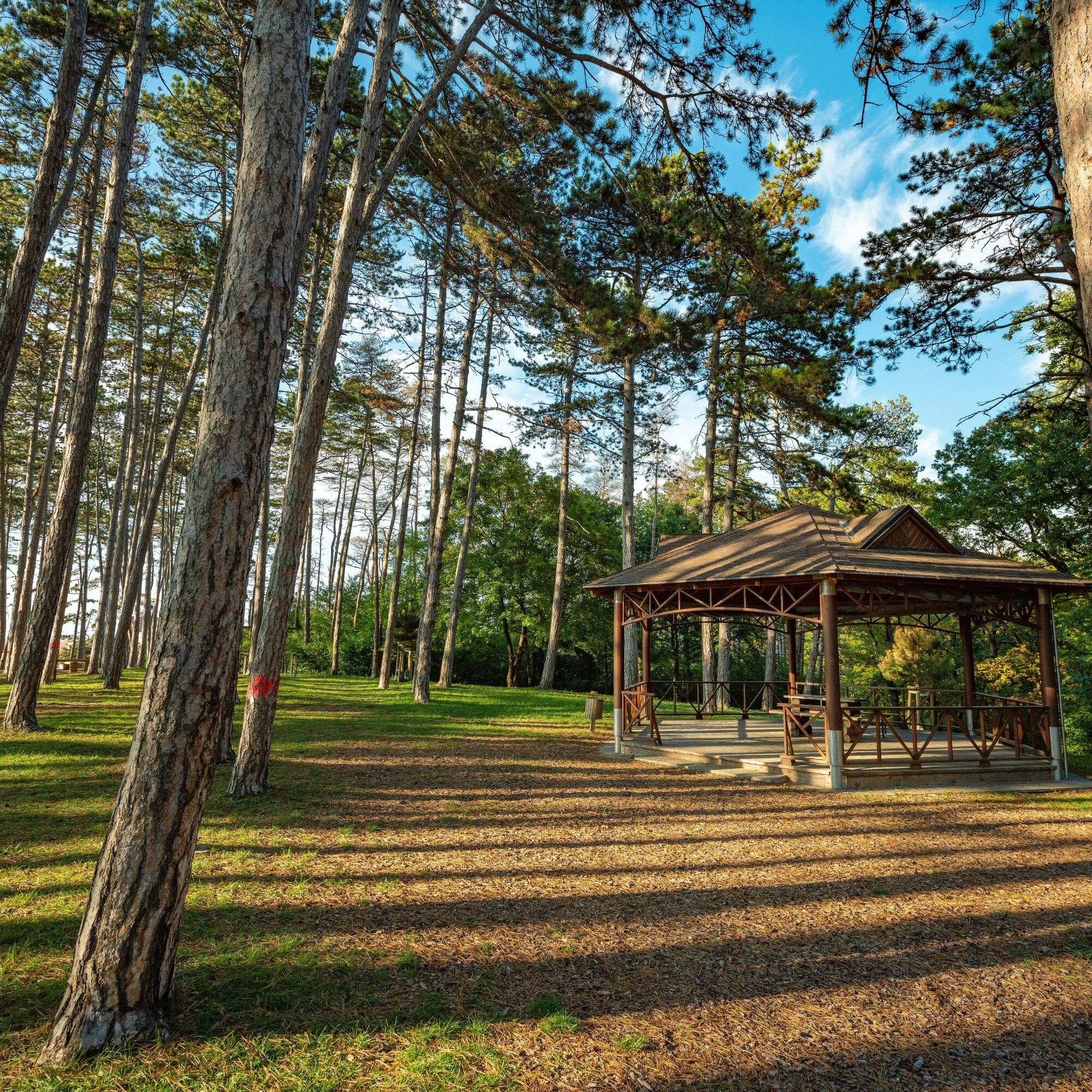
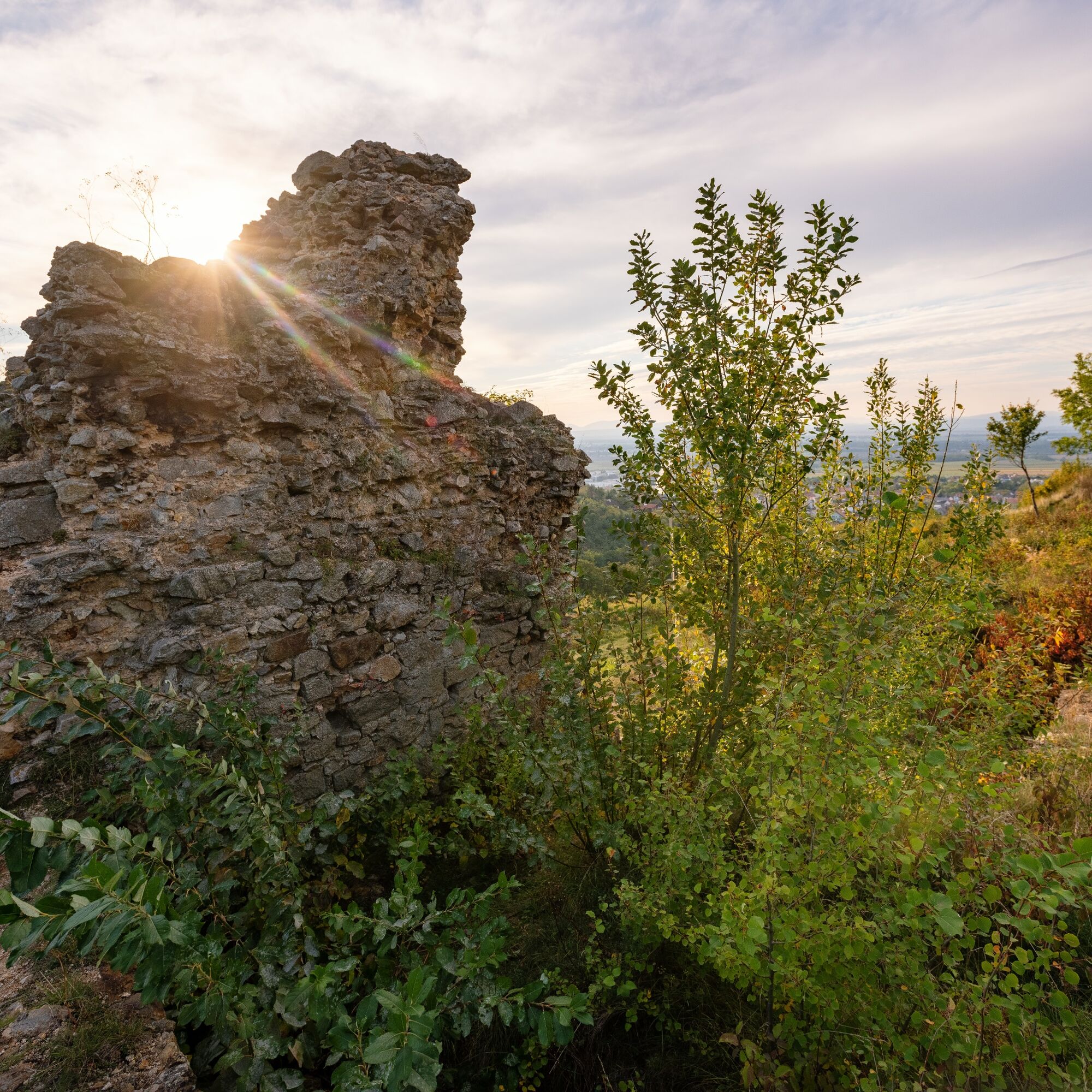
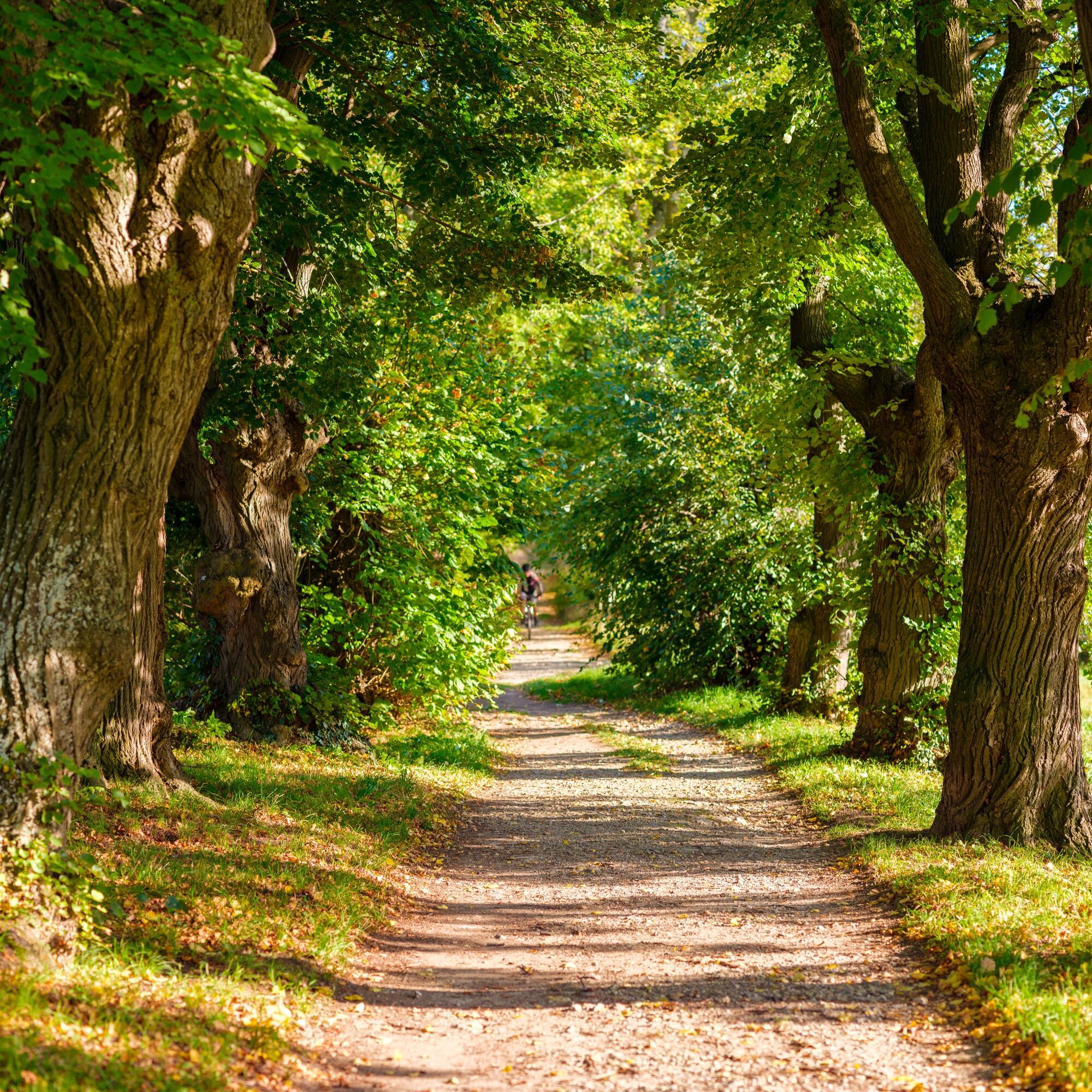

The route leads from Eisenstadt via Hornstein to Loretto and back to Eisenstadt.
You ride 15.3 km on natural trails and 4.7 km on asphalt.
Sportswear, bicycle helmet, drinking water
Austria: There is a bicycle helmet obligation for children up to 12 years. Warning vests are not mandatory at dusk, in darkness, or in poor visibility, but definitely an advantage. A mobile phone would also be beneficial for your safety.
A3, A2, S4, S31
Federal and state roads
Arrival by train:
Eisenstadt station, Neufeld/Leitha station, Müllendorf station
Timetable information: ÖBB, Raaber Bahn
near the starting point
S3
The Burgenland App also informs you on the go about routes, course, and altitude meters.
365 days of Pannonian diversity included - with the Burgenland Card!
www.burgenland.info



Aktivity počas prehliadky
-

Eisenstadt, Burgenland/Österreich
02.09.2026 – Mountainbike -

Hornstein, Burgenland/Österreich
01.06.2026 – Mountainbike -

Hornstein, Burgenland/Österreich
23.03.2026 – E-MTB -
Hornstein, Burgenland/Österreich
06.03.2026 – E-MTB -
Hornstein, Burgenland/Österreich
07.12.2025 – E-MTB -
Hornstein, Burgenland/Österreich
30.11.2025 – E-MTB
Obľúbené výlety v okolí
-
4,7
Cherry Blossom Cycle Route
strednáCyklistika 43,2 km -
4,7
Kloster St. Anna & Ruine Scharfeneck zu Mannersdorf
svetloTuristika 5,27 km -
4,6
MANNERSDORF, St.Anna, Aussichtspkt. Stb.1 Ruine Scharfeneck, F.J.Warte, Aussichtspkt. Stb.2 20230329
strednáTuristika 16,5 km -
4,4
Picturesque Rust high delight
Cyklistika 42,6 km -
4,4
Smugglers' route "Donnerskirchen" to Mannersdorf
ťažkéTuristika 18,8 km -
4,4
Festival cycling route | Variant Donnerskirchen - Oggau - Oslip - Schützen - Donnerskirchen
svetloCyklistika 27,5 km -
4,0
Mannersdorf Wüste - Gipfelkreuz - Ruine - Labyrinth
svetloTuristika 9,32 km -
4,8
From the Field of Honor to the Kingdom of Heaven
strednáTuristika 6,98 km -
4,2
Loretto - Buchkogel
svetloTuristika 10,4 km -
4,8
Jägerwiese über die drei Seen
strednáTuristika 14,2 km

Turistika a stopovanie


Nenechajte si ujsť ponuky a inšpiráciu na ďalšiu dovolenku
Vaša e-mailová adresa bol pridaný do poštového zoznamu.





