Sur l'Ormeau - La Grand Croix
stredná
Získajte túto prehliadku v mobilnom telefóne
Sur l'Ormeau - La Grand Croix
stredná
Jazda na koni
12,14
km
Naskenujte kód QR a spustite navigáciu v aplikácii bergfex


Turistika a stopovanie





Sur l'Ormeau - La Grand Croix
stredná
Vzdialenosť
12,14
km
Trvanie
02:26
h
Ascent
211
hm
Hladina mora
240 -
393
m
Stiahnutie skladby
Sur l'Ormeau - La Grand Croix
stredná
Jazda na koni
12,14
km
- Take the departmental road leading to SAINT-GENGOUX-LE-NATIONAL for 700m and turn left onto a track leading into a wood towards La Sachette farm.
- Go through the Bois de Saules as far as the imposing...
Opis
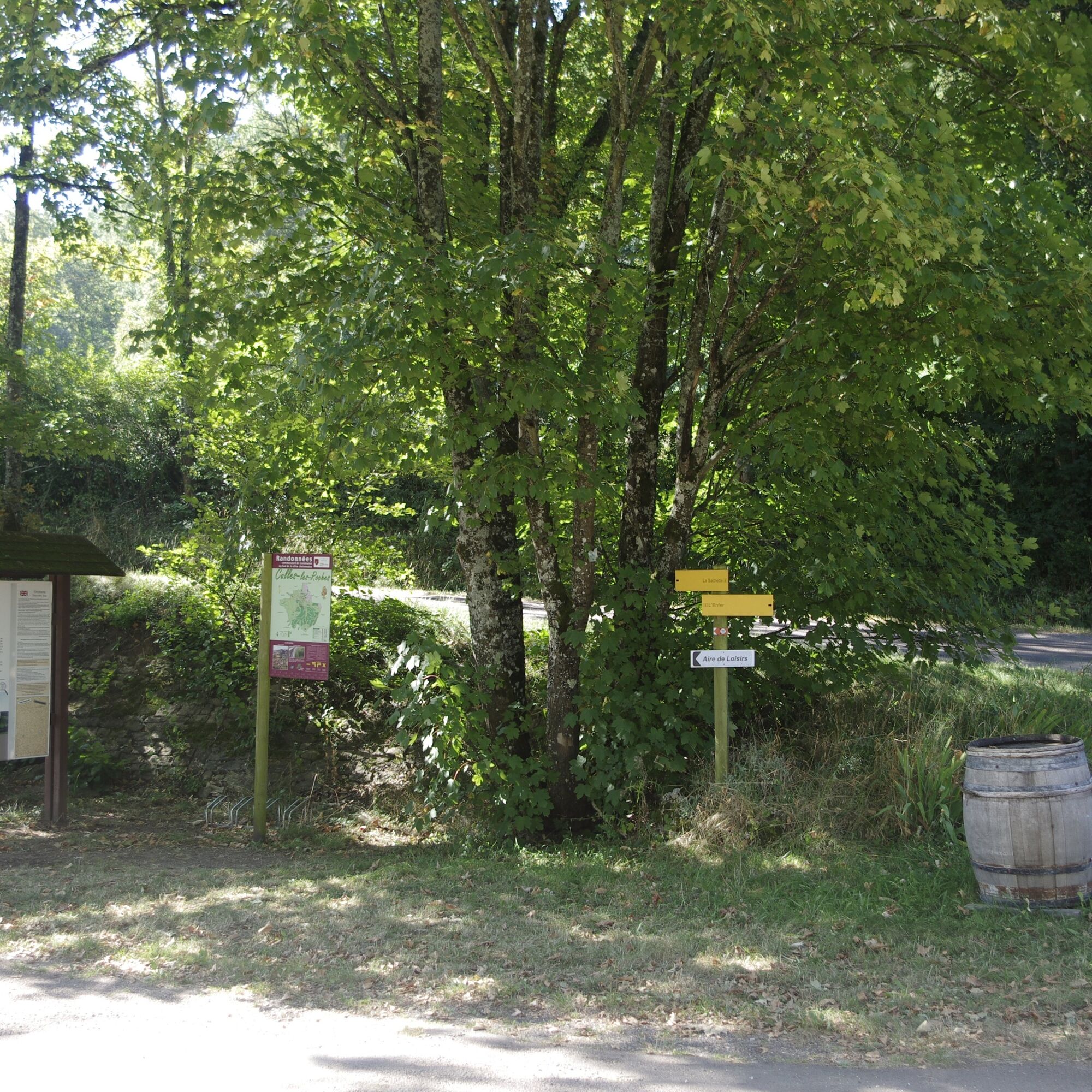
- Take the departmental road leading to SAINT-GENGOUX-LE-NATIONAL for 700m and turn left onto a track leading into a wood towards La Sachette farm.
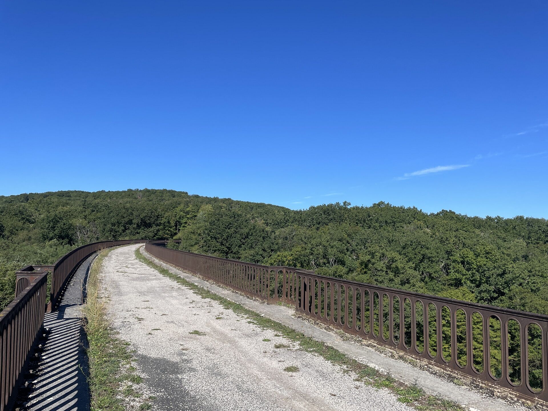
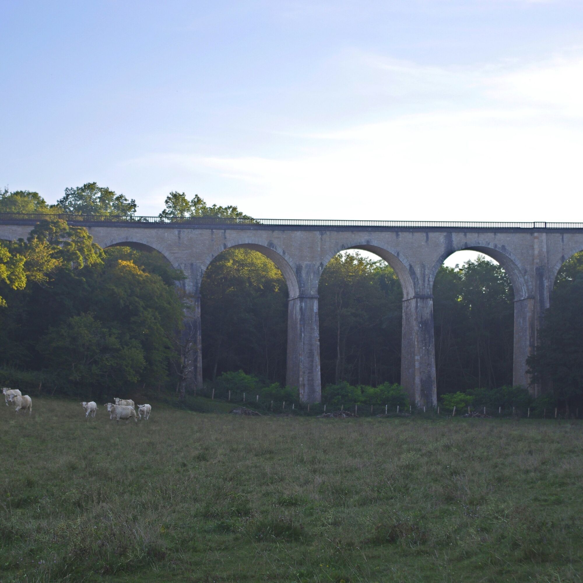
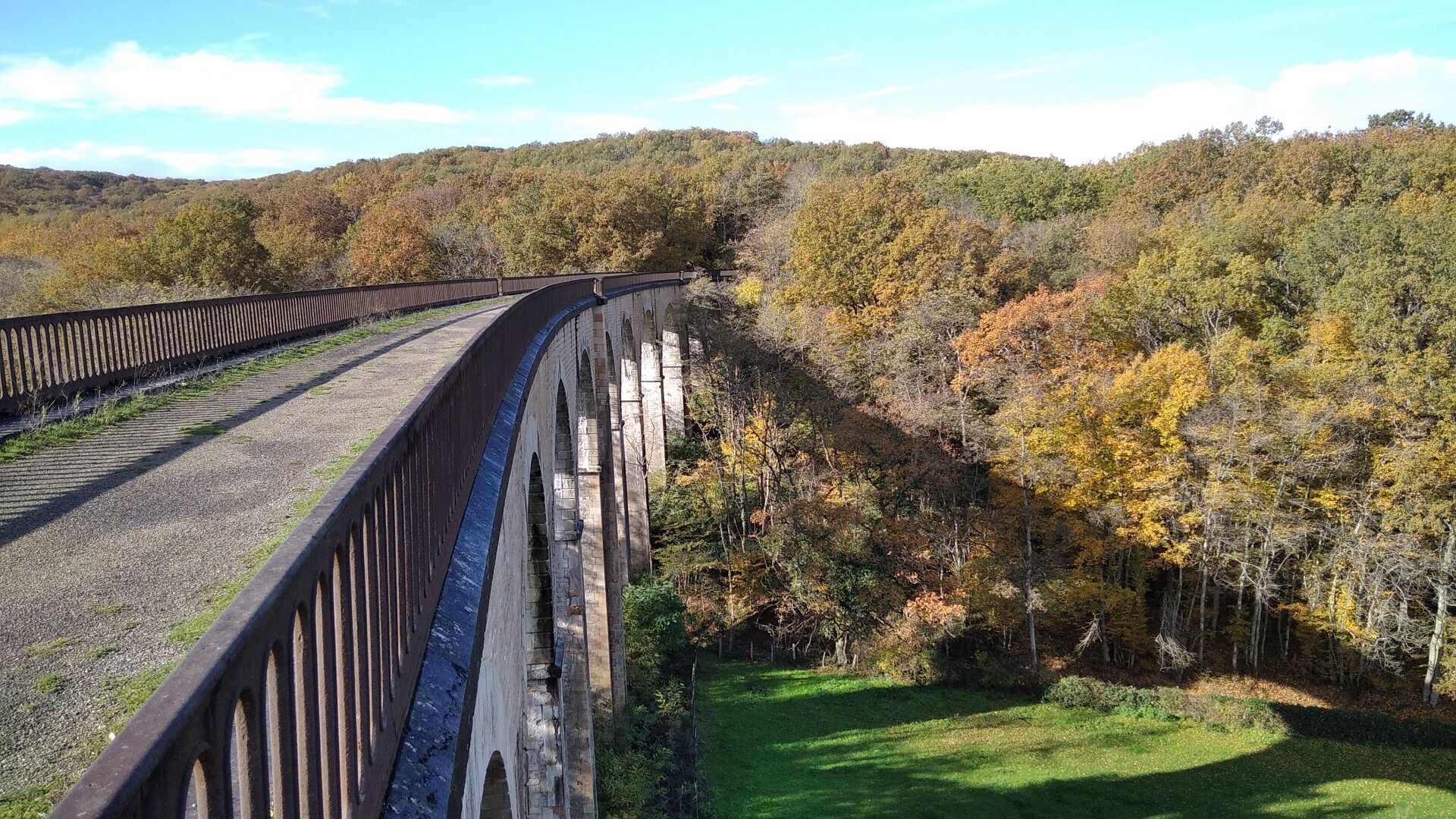
- Go through the Bois de Saules as far as the imposing Crainseny viaduct supporting the old railway line that linked the stations at Etiveau and CULLES-LES-ROCHES.
- Pass under the viaduct. In Noiseret, turn left onto the track that leads via the Moulin de Chatenay to the bottom of the village of CULLES-LES-ROCHES.
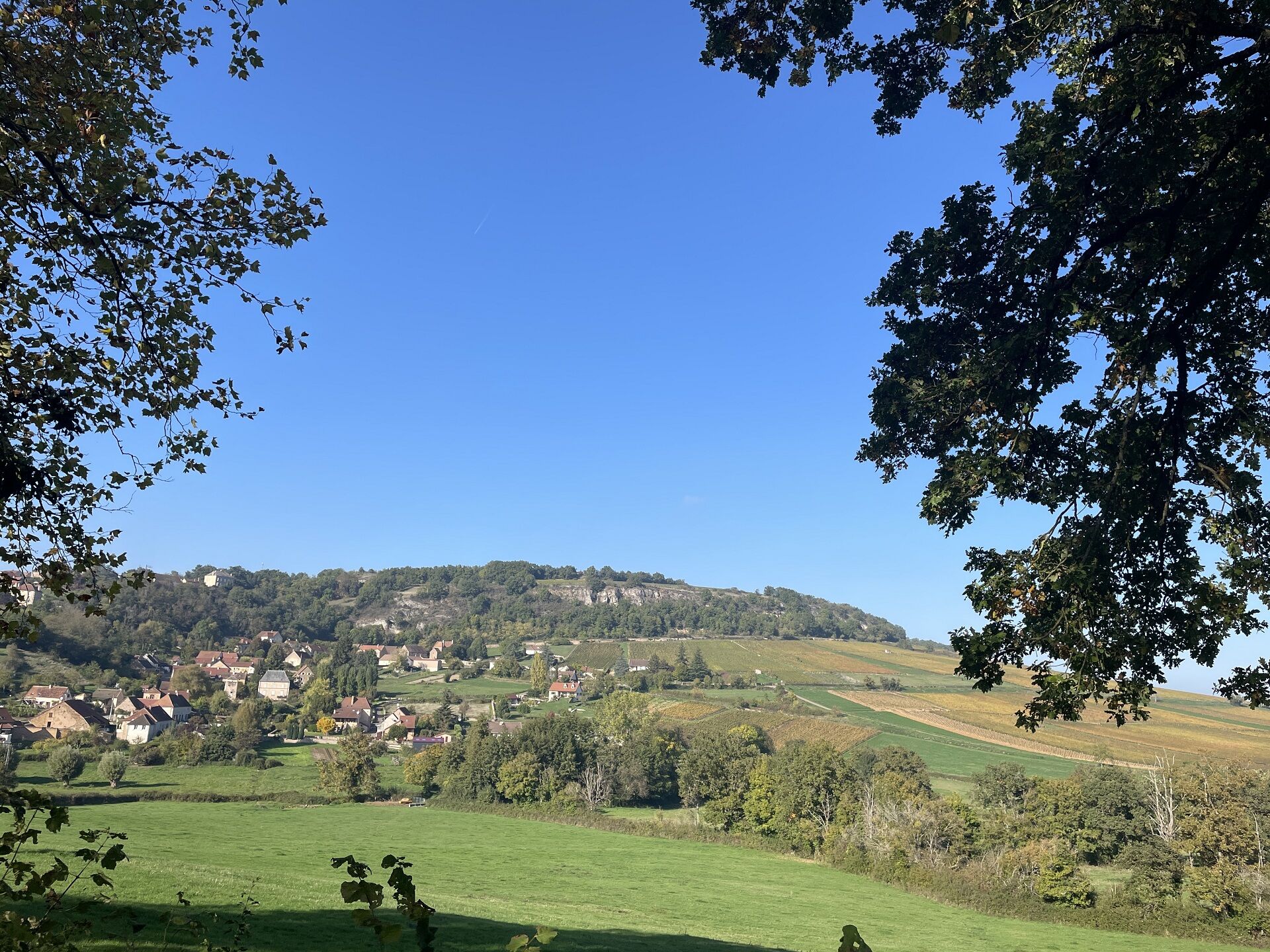
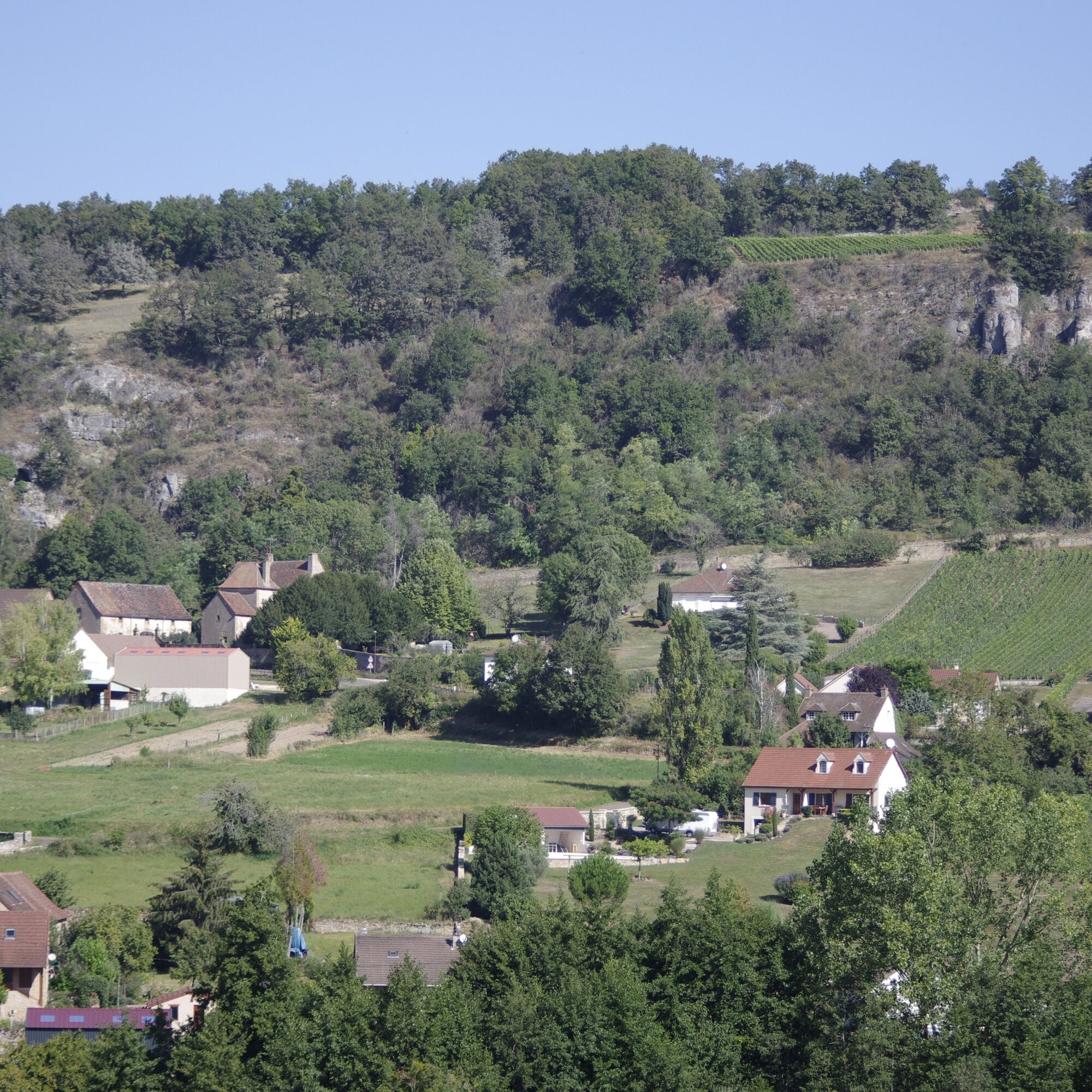
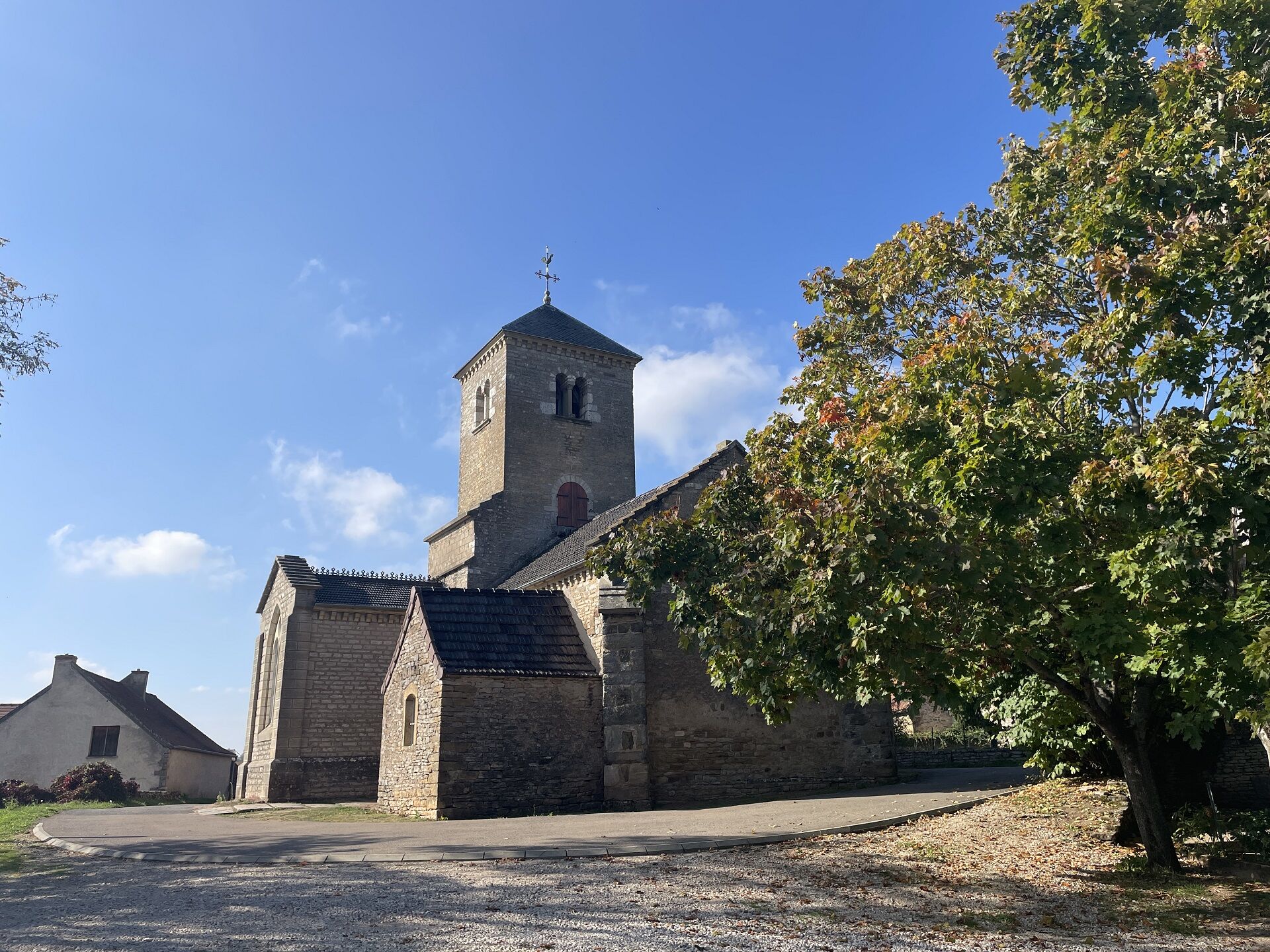
- You will see the Romanesque church, high up on the hill, which you will need to climb to reach. The view that awaits you will reward you for your effort. Take time to admire the typically Burgundian houses and old dovecotes.
- Go back down to the west, follow the departmental road for 200m and fork left towards l'Ormeau. Mont Bouzu 461m is on your right.
- Follow the signposts along paths bordered by pastures, crossing the D28 twice. Descend the road and track, following the old railway line back to the starting point of this walk.
- Go through the Bois de Saules as far as the imposing Crainseny viaduct supporting the old railway line that linked the stations at Etiveau and CULLES-LES-ROCHES.
- Pass under the viaduct. In Noiseret, turn left onto the track that leads via the Moulin de Chatenay to the bottom of the village of CULLES-LES-ROCHES.
- You will see the Romanesque church, high up on the hill, which you will need to climb to reach. The view that awaits you will reward you for your effort. Take time to admire the typically Burgundian houses and old dovecotes.
- Go back down to the west, follow the departmental road for 200m and fork left towards l'Ormeau. Mont Bouzu 461m is on your right.
- Follow the signposts along paths bordered by pastures, crossing the D28 twice. Descend the road and track, following the old railway line back to the starting point of this walk.
Trasa
Culles-les-Roches
(345 m)
Dedina
0,5 km
Les Plantes
(346 m)
Susedstvo
4,8 km
Culles-les-Roches
(345 m)
Dedina
5,3 km
Le Bourg
(332 m)
Koridor/terén
5,3 km
Les Vignes Blanches
(283 m)
Koridor/terén
6,1 km
Pré Rigaud
(261 m)
Koridor/terén
6,9 km
La Manche
(256 m)
Koridor/terén
8,8 km
Trasa
Sur l'Ormeau - La Grand Croix
stredná
Jazda na koni
12,14
km
Les Pertuis du Bois
(309 m)
Koridor/terén
0,1 km
Culles-les-Roches
(345 m)
Dedina
0,5 km
Le Moulin Frauchot
(307 m)
Koridor/terén
0,9 km
Les Plantes
(346 m)
Susedstvo
4,8 km
Culles-les-Roches
(345 m)
Dedina
5,3 km
Le Bourg
(332 m)
Koridor/terén
5,3 km
Les Vignes Blanches
(283 m)
Koridor/terén
6,1 km
Pré Rigaud
(261 m)
Koridor/terén
6,9 km
La Manche
(256 m)
Koridor/terén
8,8 km
Autor
Prehliadku Sur l'Ormeau - La Grand Croix zabezpečuje outdooractive.com.

Bezpečnostné pokyny
In case of emergency, dial 112
Informácie o príchode
Príchod
Consider carpooling
Parkovanie
Parking near the starting point
Ďalšie informácie a tipy
Ďalšie informácie
BUXY â OT Buxy Sud Côte Chalonnaise | Cat.II http://tourisme-sud-cote-chalonnaise.com
Zatiaľ žiadne recenzie
Obľúbené výlety v okolí
-
CycloRoute71 - Etape 2 de Cormatin à Tournus
strednáCyklistika 31,1 km -
Boucle 6 : Boucle de la pléiade
svetloCyklistika 28,5 km -
Au coeur de la Guye
strednáJazda na koni 13,6 km -
Boucle 5 : De la pierre à la vigne
strednáCyklistika 25,9 km -
CycloRoute71
strednáCyklistika 678,1 km -
Entre vignes et bocages
strednáTuristika 8,11 km -
Mer de Pierres
strednáTuristika 5,77 km -
Au levant
strednáTuristika 13,2 km -
Jambles : d'un versant à l'autre
strednáTuristika 12,7 km -
La Route Européenne d'Artagnan
svetloJazda na koni 327,8 km
Turistika a stopovanie

Viac ako 550.000 návrhov výletov, podrobné mapy a intuitívny plánovač trás robia z aplikácie povinnú výbavu pre všetkých nadšencov prírody.

Nenechajte si ujsť ponuky a inšpiráciu na ďalšiu dovolenku
Prihlásiť sa k odberu noviniek
Chyba
Vyskytla sa chyba. Prosím, skúste to znova.
Ďakujeme za vašu registráciu
Vaša e-mailová adresa bol pridaný do poštového zoznamu.
Zájazdy po celej Európe
Rakúsko
Švajčiarsko
Nemecko
Taliansko
Slovinsko
Francúzsko
Holandsko
Belgicko
Poľsko
Lichtenštajnsko
Česko
Slovensko
španielsko
Hrvaška
Bosna a Hercegovina
Luxembursko
Andorra
Portugalsko
Island
Spojené kráľovstvo
Írsko
Grécko
Albánsko
Severné Macedónsko
Malta
Nórsko
Čierna Hora
Moldavsko
Kosovo
Maďarsko
San Maríno
Rumunsko
Estónsko
Lotyšsko
Bielorusko
Cyprus
Litva
Srbsko
Bulharsko
Monako
Dánsko
Švédsko
Fínsko





