





Vuoksi cycling route in Imatra
The starting point of the route, Imatrankoski, is a national landscape and Finland's oldest tourist attraction, admired since the 18th century. In the 1920s, the rapids channel was dammed for electricity...
The starting point of the route, Imatrankoski, is a national landscape and Finland's oldest tourist attraction, admired since the 18th century. In the 1920s, the rapids channel was dammed for electricity production, and since then, water has only been released during the rapids displays. The rapids channel that cuts Imatra's center is impressive even when dry.
Vuoksi is both a central element of Imatra’s cityscape and the watercourse of the Vuoksi watershed flowing into Lake Ladoga and further into the Baltic Sea. Imatrankoski was formed with enormous power about 5,700 years ago, creating a series of rapids, several of which are in the Imatra area. The route circles the banks of Vuoksi on light traffic paths in the middle of Imatra city. Along the route on the east bank of Vuoksi are several museums and on the west bank many pleasant parks worth stopping at. The route also has info boards with information about Vuoksi’s history and nature.
Route surface material: gravel road, asphalt.
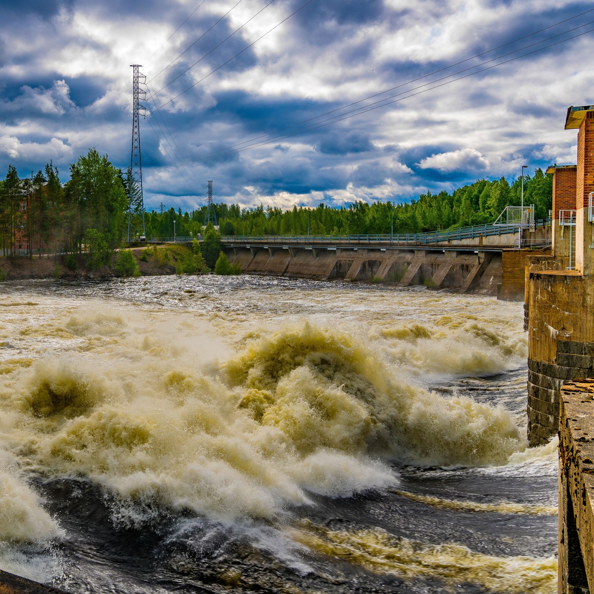
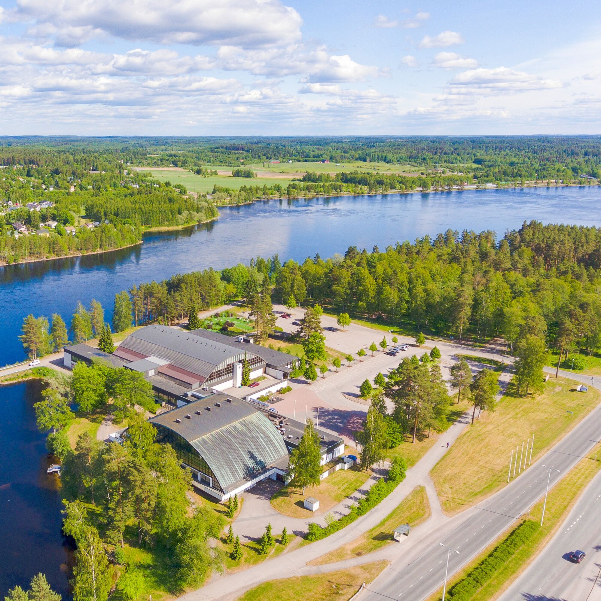
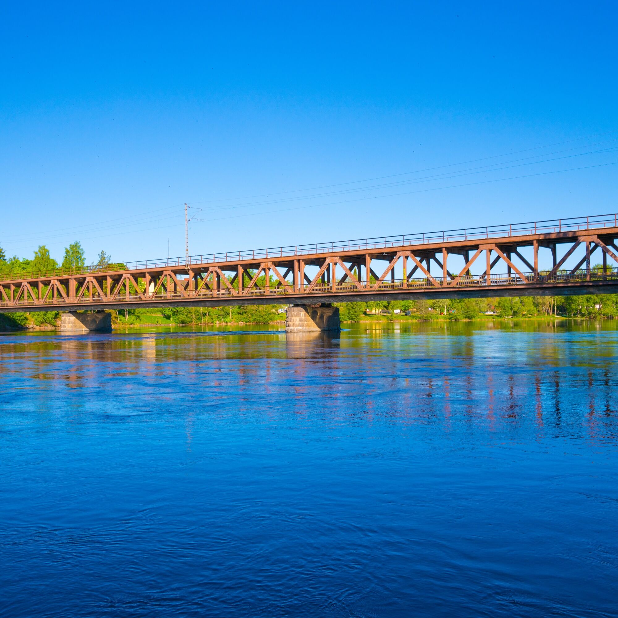
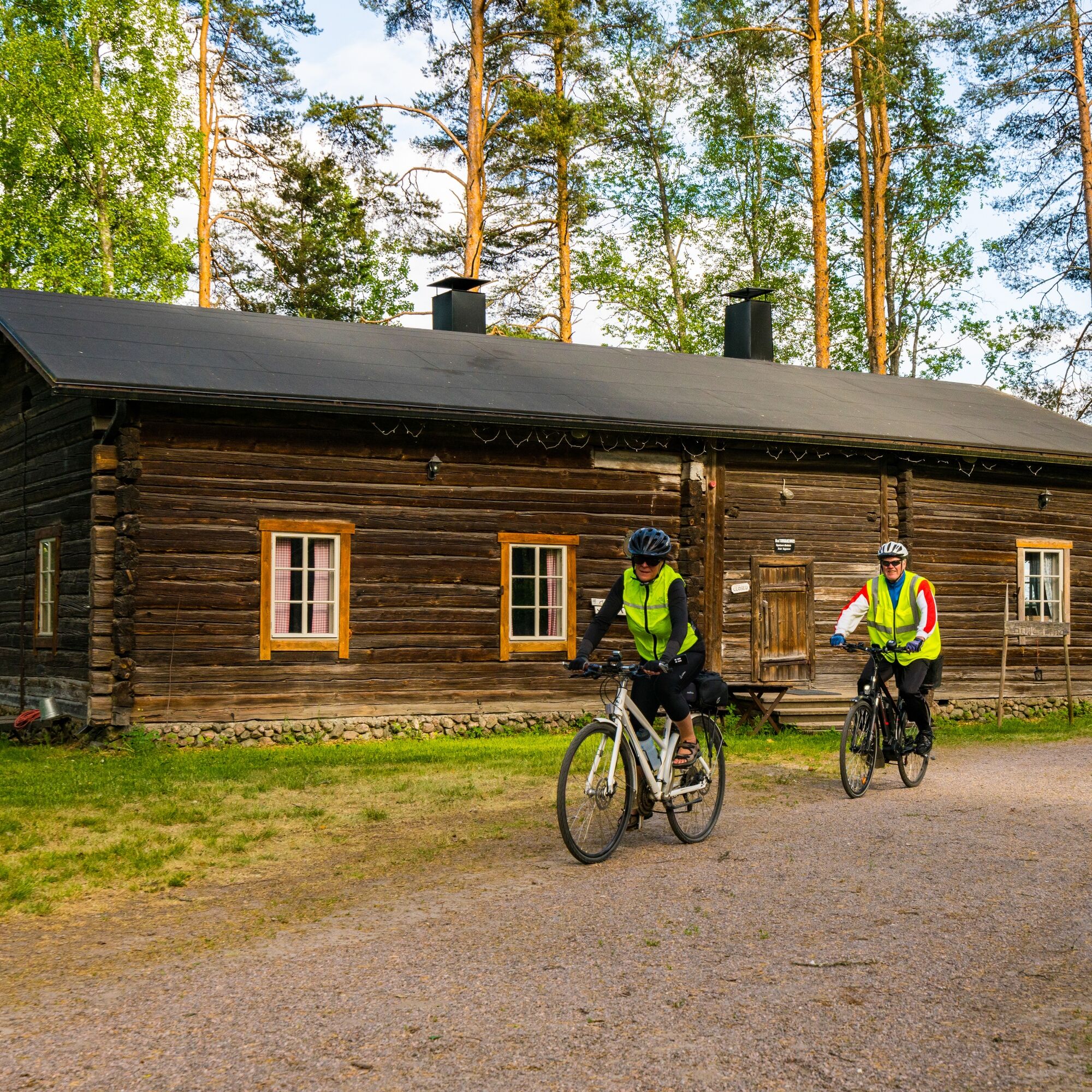
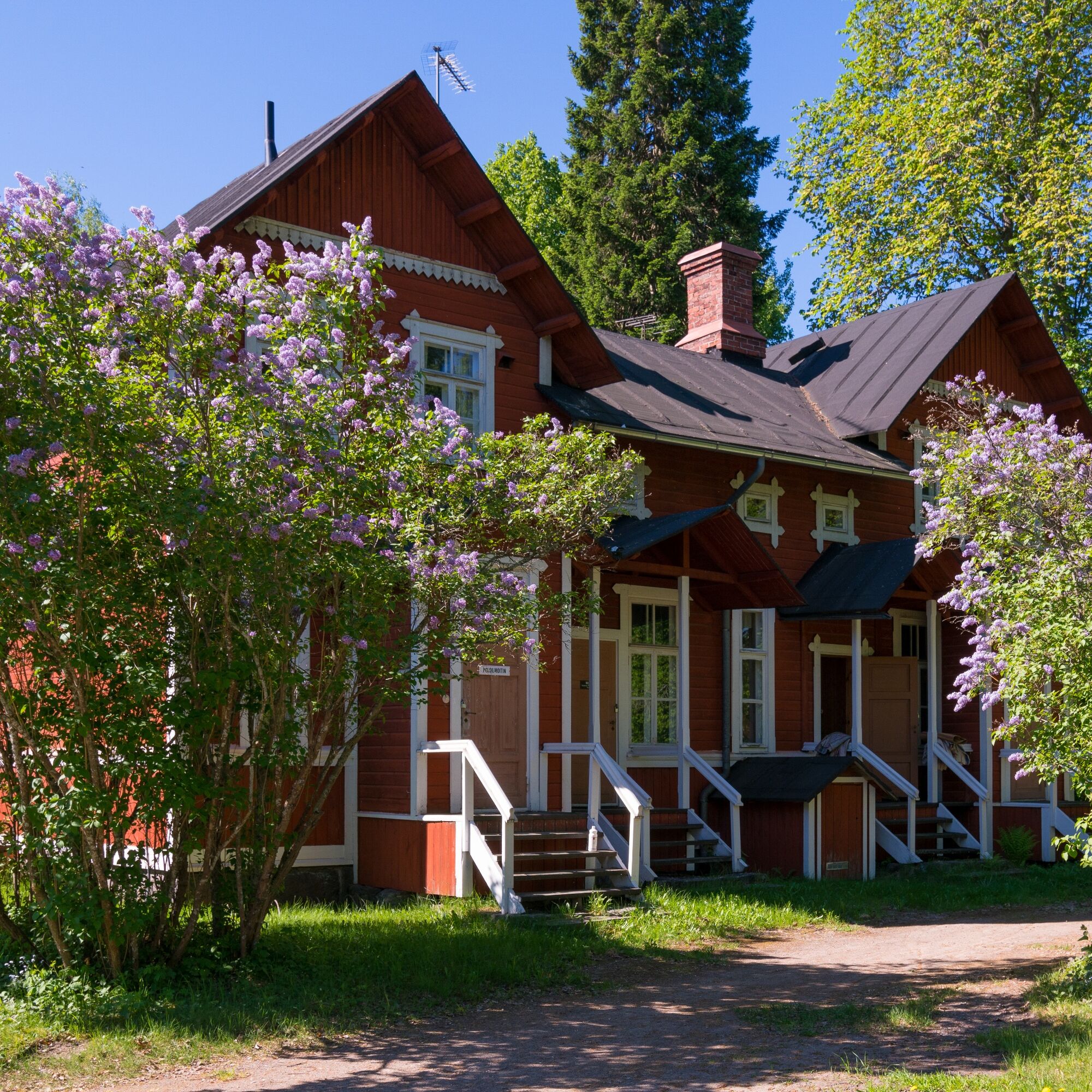
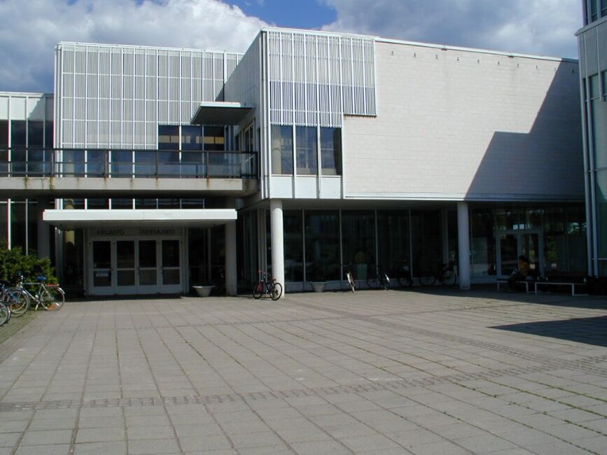
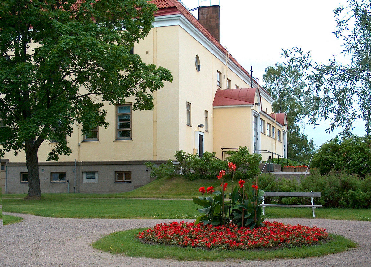
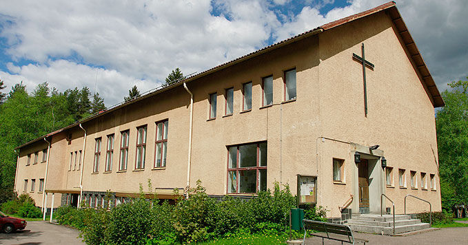
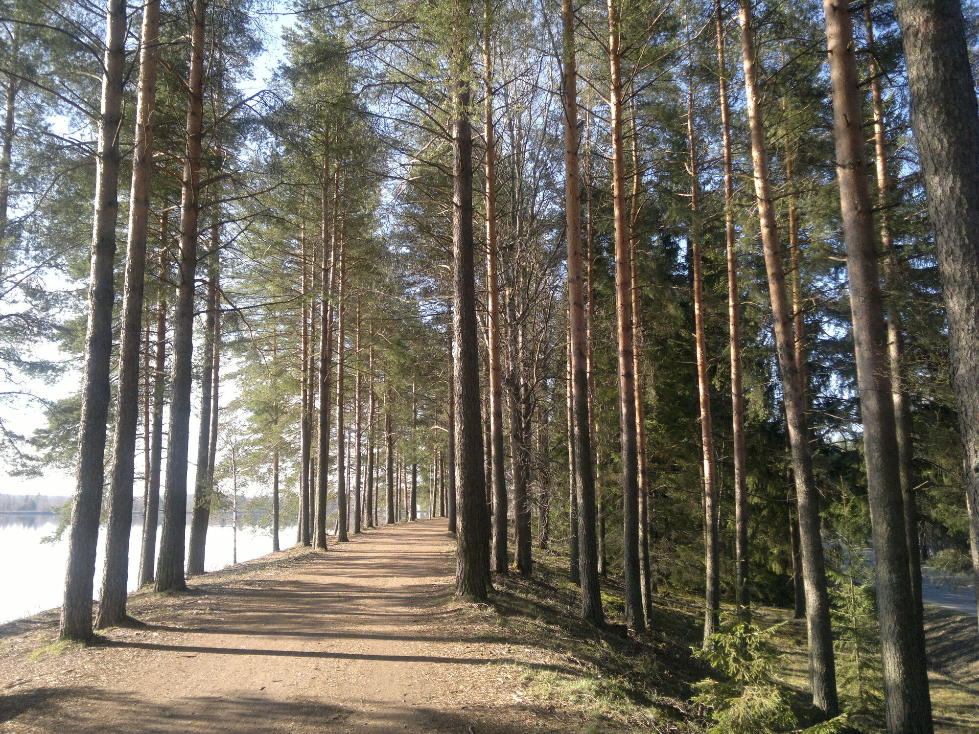

First, you cross the Imatrankoski bridges, from where you can admire the rapids channel and then the power plant. You continue on the bike path past the Imatrankoski church to the Imatra rally pit area and further towards Mansikkala, where Highway 6 and the railway bridges cross over the Vuoksi River. The white Virta Culture House and the dark Imatra City Hall can be seen on the opposite bank of Vuoksi when passing by. After the bridges, there is an apple orchard by the Vuoksi shore with dedication trees for all children born in Imatra in 2000 and 2001. The small Orthodox Church of St. Nicholas and the Water Blessing Park in front of it tell of the Orthodox tradition and are worth exploring. Next, you can cycle to a picnic break by the shore of the Neitsytniemi Manor, which is a recreational spot for fishermen and others.
You cross over to the west bank of the Vuoksi River via the Tainionkoski bridge. From the bridge northwards, there is a view of Lake Saimaa, the mouth of Vuoksi. On the left remains the old channel of Tainionkoski and the power plant. The industrialization of the Imatra area began at Tainionkoski, where hydropower needed by the industry was available. The first products made were wooden thread spools. You can learn about the industrial history and the living conditions of workers at the Industrial Workers’ Housing Museum. The museum’s apartments represent living conditions from different decades from the early 1900s to the 1960s.
The next cultural destination on the route is the Virta Culture Center, which houses the Imatra City Museum, art museum, and library along with the Saimaa Geopark visitor center and Karelia Hall. The art museum’s collection focuses on 20th-century Finnish, especially Southeast Finnish visual art, part of which is on display. The museum also has changing exhibitions. The city museum focuses on the history of Imatra.
The Vuoksi Fishing Park continues the legacy of The Vuoksi Fishing Club located at the same place at the turn of the 20th century. At the Fishing Park, you can fish and dine. You can purchase and rent fishing permits and equipment for self-guided fishing. Guided fishing program services are also available. The Fishing Park area includes a swimming beach and the harbor for the Vuoksi sauna raft. Nearby is Hiljan Piha, where you can explore traditional rural buildings. Hiljan Piha is also enjoyable for the little ones because farm animals roam the yard in the summer.
The route finally heads back to Imatrankoski along the Vuoksi riverside embankment, and you can stop to enjoy the atmosphere of the Koskenparta pedestrian street. At the end of the day, you can relax in the Rauha or Ukonniemi areas, where cyclists are welcomed by versatile spa, hotel, and restaurant services.
Áno
Áno
Dress appropriately for the weather on the trip. It is recommended to also bring first aid equipment, spare clothes, and enough drinks.
Route surface material: gravel road, asphalt. Gravel road sections total approx. 6.5 km.
It is good to check the weather forecast before the trip.
In an emergency, call 112. Tell your location and what has happened and listen to the instructions.
Imatrankoski, address: Imatrankoskentie 3, 55100 Imatra.
The starting point of the route is Imatrankoski, which can be reached from Imatra Travel Center by all local bus services (approx. 3 km).
You can check train schedules on VR's website.
You can check bus schedules on Matkahuolto.
Imatra Travel Center has free parking spaces; parking near Imatrankoski can be found in connection with commercial buildings and along the streets.
Although the route is short, it is worth allowing time to visit the museums and stop at the park. Café services are available on the west bank of Vuoksi.
Target groups: occasional cyclists, families.
Obľúbené výlety v okolí
-
Vuoksi nature and cultural route, Imatra
svetloTematická trasa 8,38 km -
Imatra architecture and sightseeing route by bike
svetloCyklistika 38,9 km -
The geological trail of Imatra Lammassaari island
svetloTematická trasa 3,38 km -
Imatra winter trail
strednáMountainbike 20,2 km -
Vuoksenniska forest trail, Imatra
strednáTematická trasa 2,75 km -
Haukvuori route, Lappeenranta
strednádiaľková pešia trasa 8,08 km -
Katralampi route, Lappeenranta
strednádiaľková pešia trasa 15,9 km -
Äitsaari scenic road cycling route
strednáCyklistika 29,4 km -
The geological trail of Imatra Kruununpuisto park
svetloTematická trasa 6,59 km -
Ukonniemen maastopyöräilyreitti, Imatra
svetloMountainbike 4,86 km

Turistika a stopovanie


Nenechajte si ujsť ponuky a inšpiráciu na ďalšiu dovolenku
Vaša e-mailová adresa bol pridaný do poštového zoznamu.





