



Vuoksi nature and cultural route, Imatra

The Vuoksi is the outflow river of Saimaa and the largest by flow in Finland. The city of Imatra has grown based on the industry established along the Vuoksi. The Vuoksi nature route circles the Vuoksi...
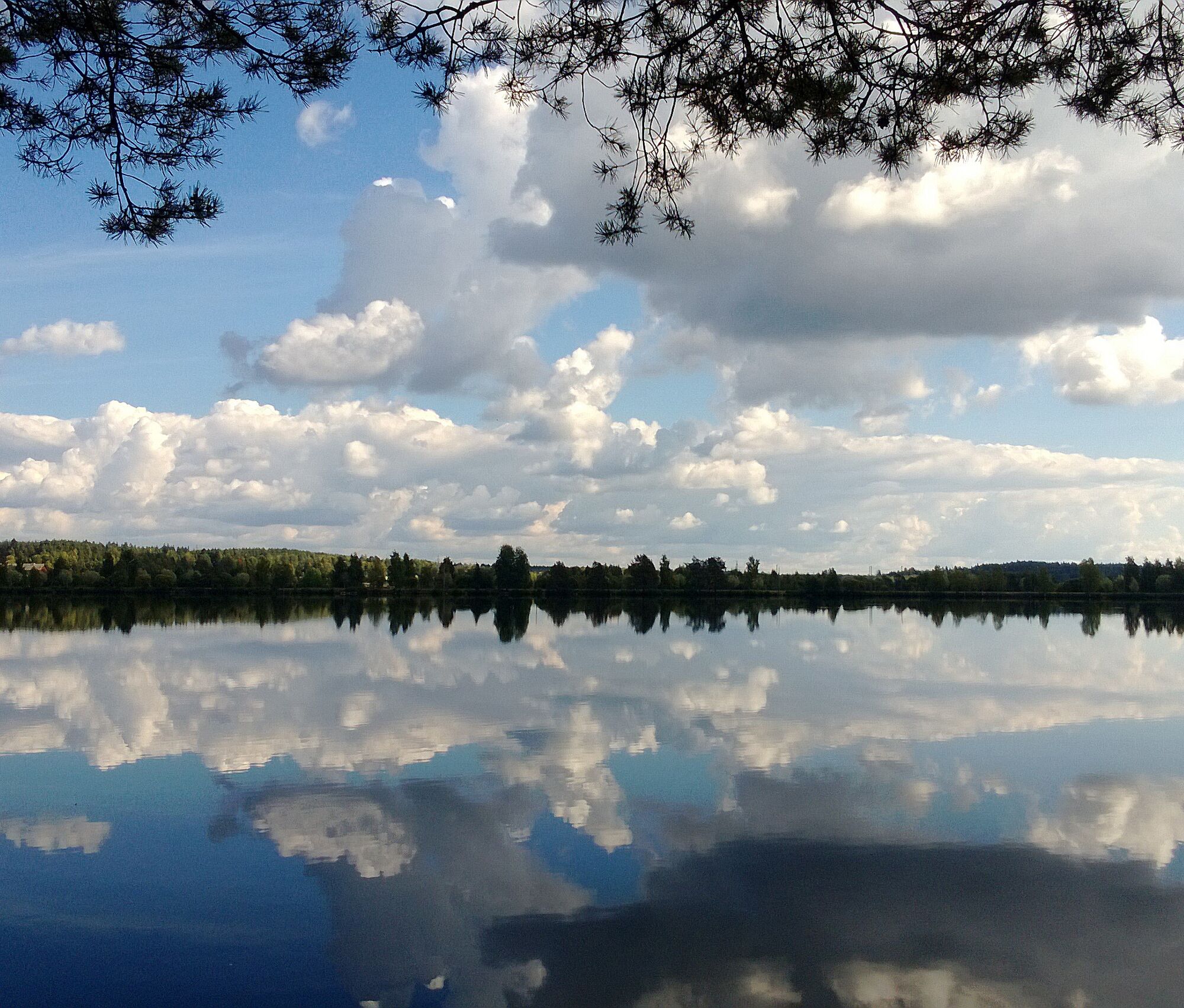
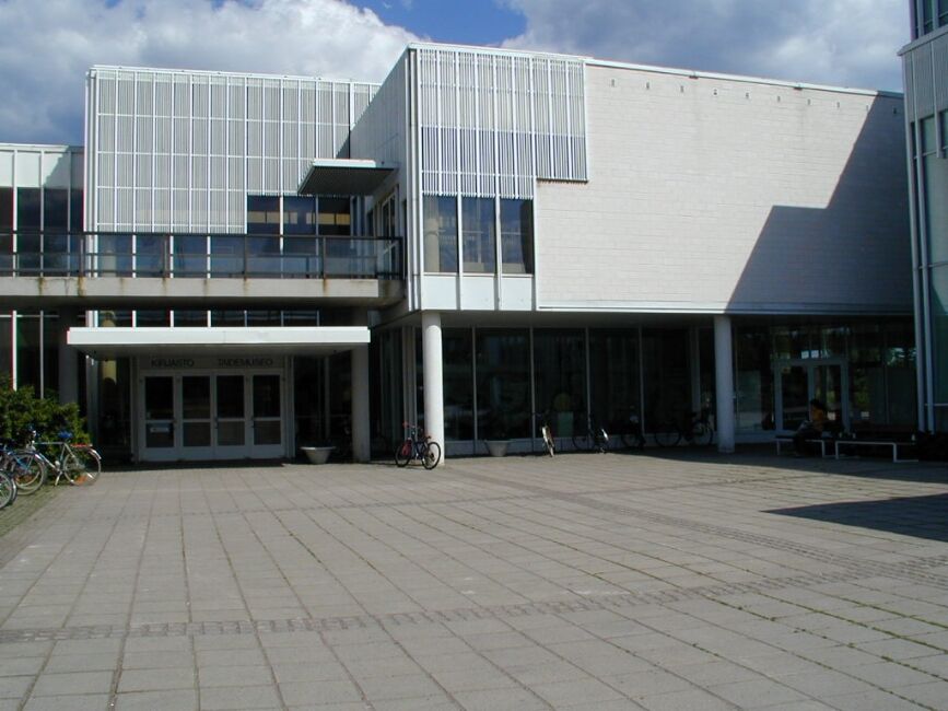
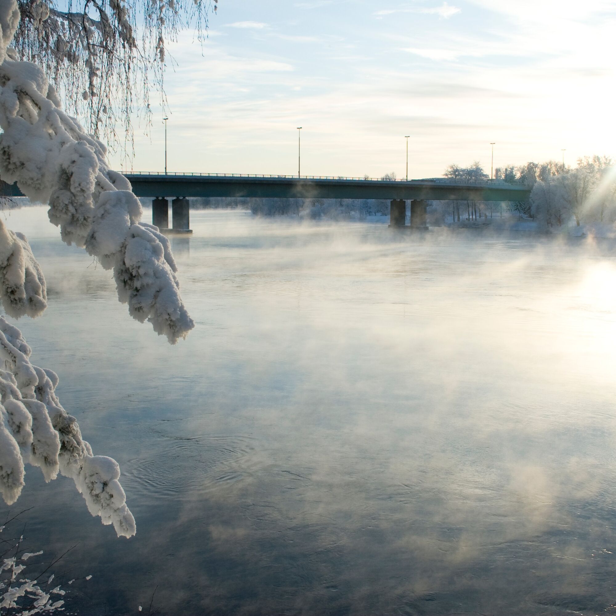
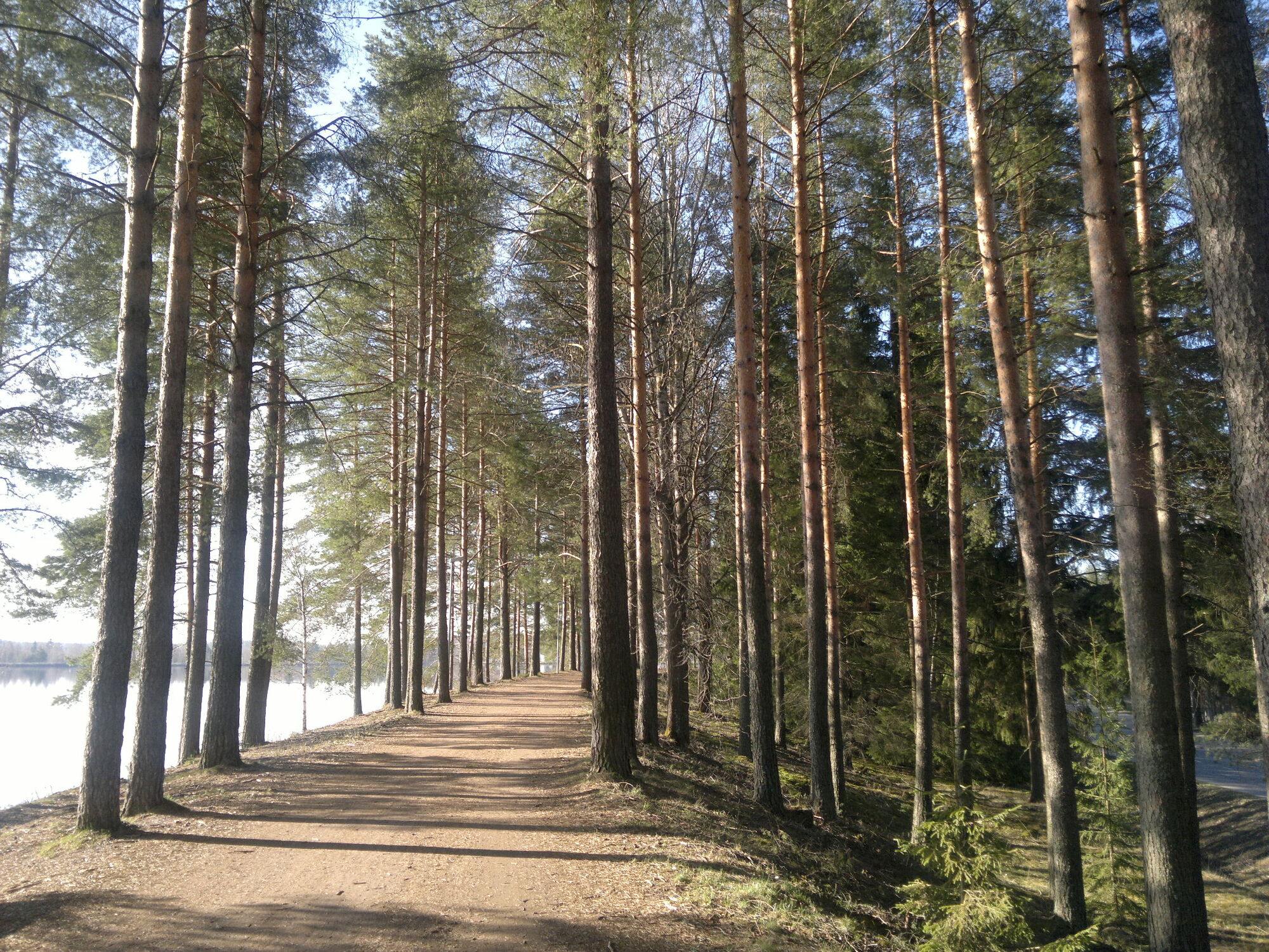
The Vuoksi is the outflow river of Saimaa and the largest by flow in Finland. The city of Imatra has grown based on the industry established along the Vuoksi. The Vuoksi nature route circles the Vuoksi shore trails from Imatrankoski to Mansikkala and back along the opposite shore. On the ever-flowing Vuoksi, you can observe bird life year-round. By following the nature route, you follow light traffic routes along the Vuoksi and can occasionally detour to the shore path. You can also circle the route staying on the built light traffic route, making the route fully accessible. The Vuoksi environment also has several culturally and historically significant sites and museums, so there is plenty to see on this route.
The maintenance and upkeep of the Vuoksi nature and cultural route are the responsibility of the city of Imatra.


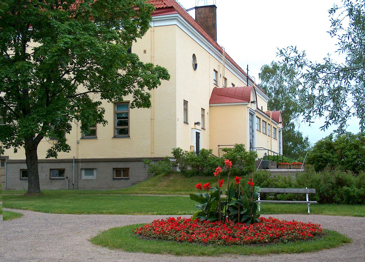
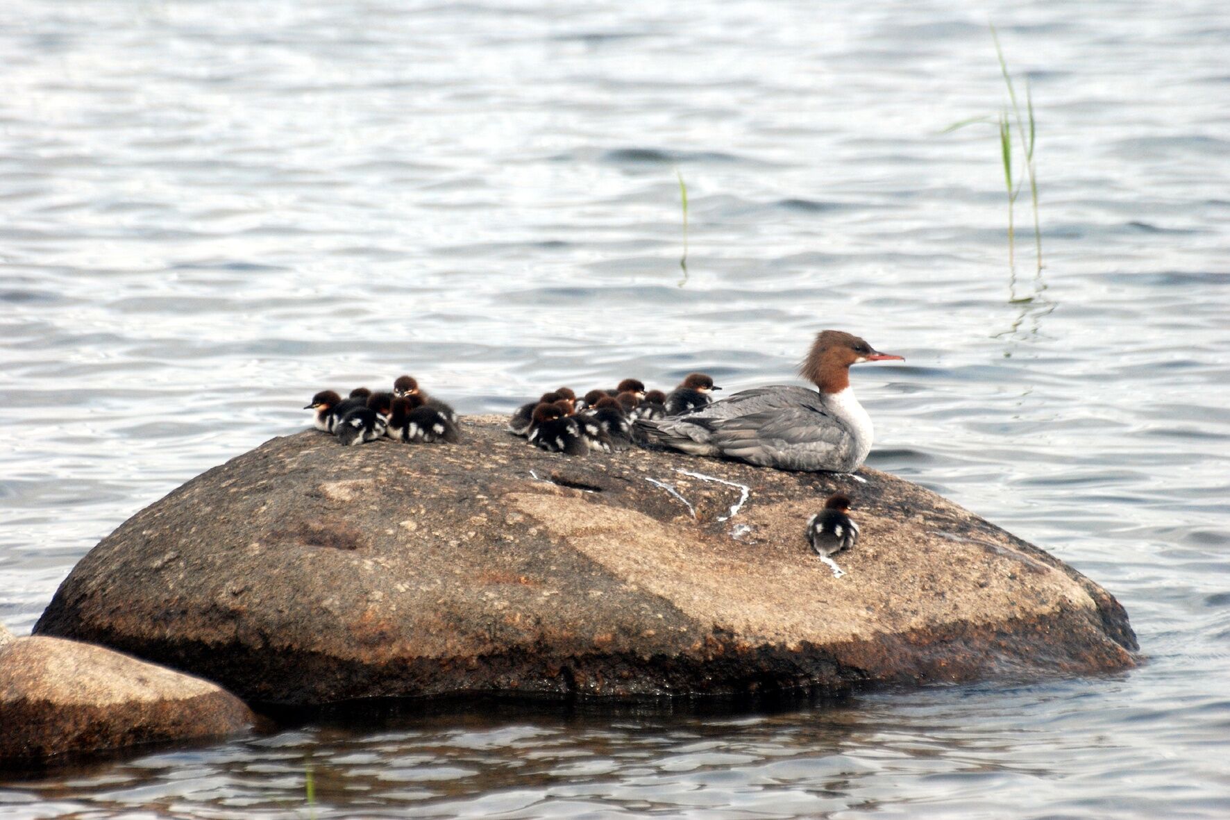
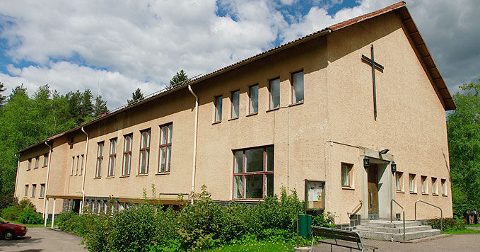
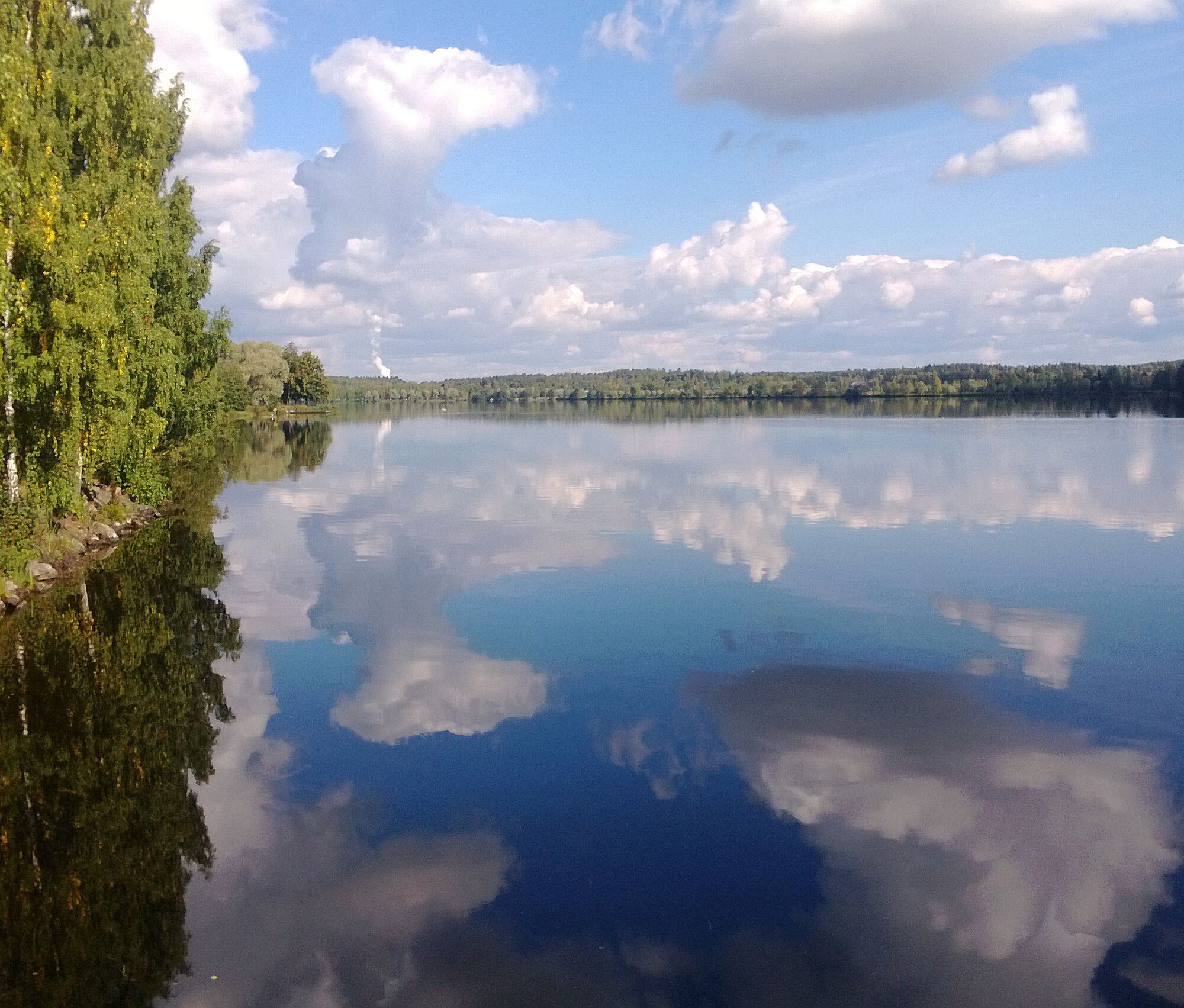
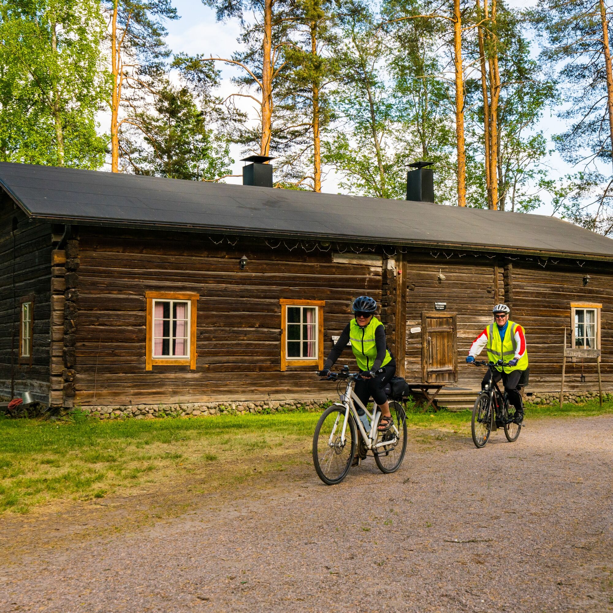
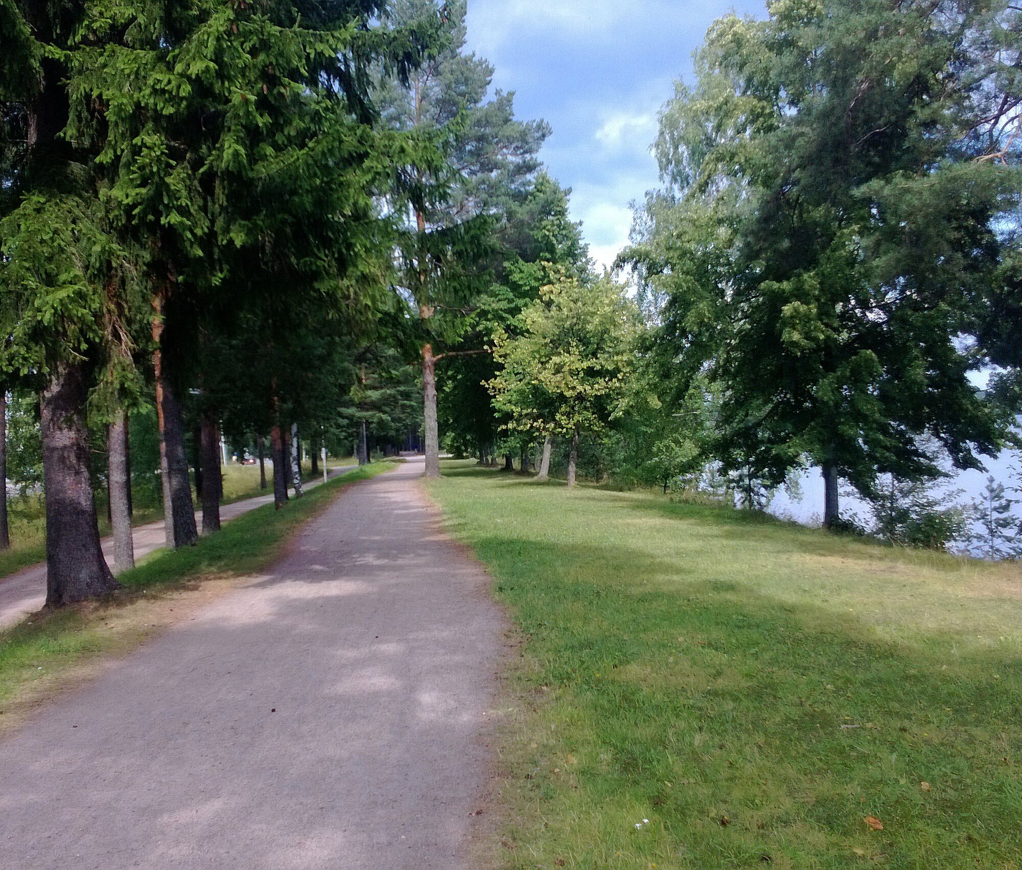
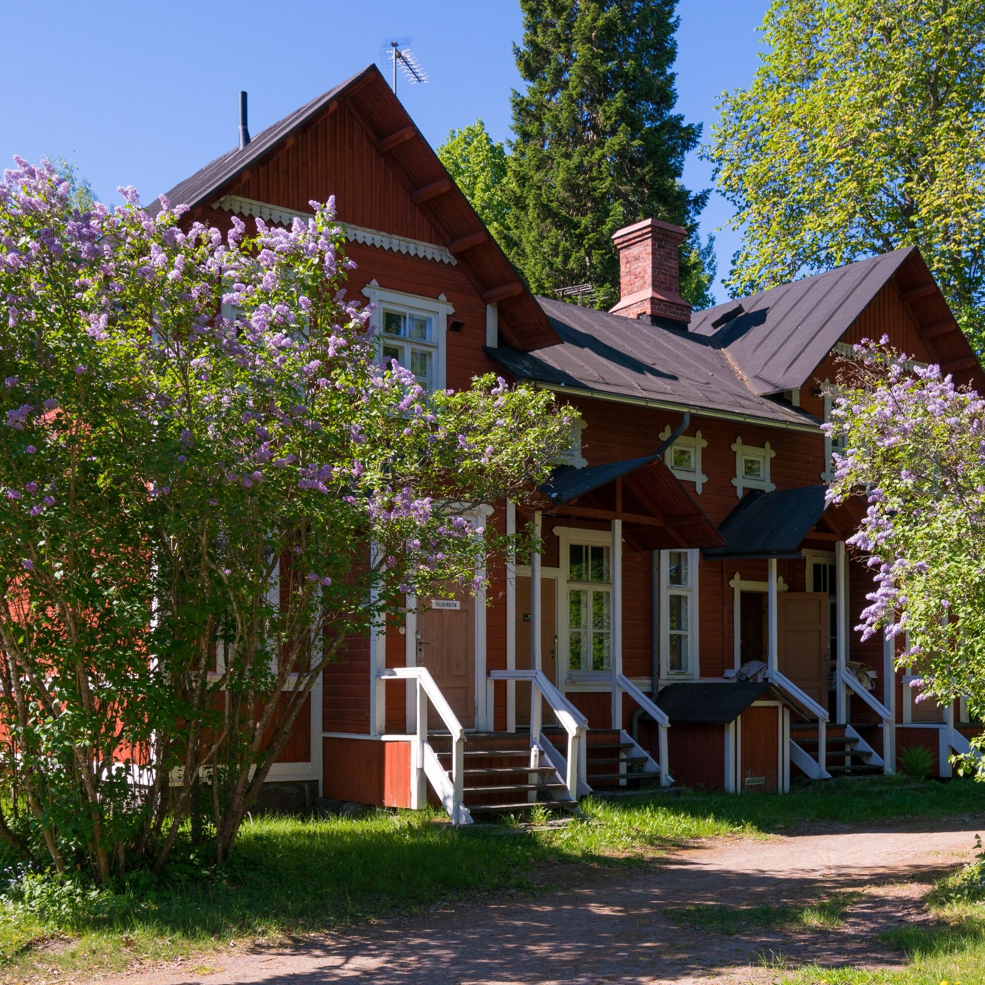

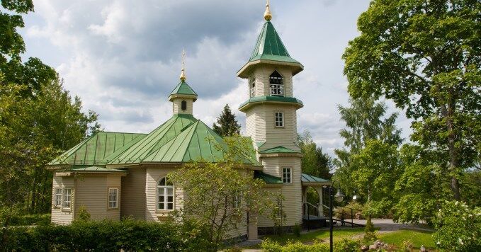


The Vuoksi nature route proceeds south from Mansikkala to Imatrankoski, crosses the Vuoksi, and returns along the east bank to the starting point.
Vuoksi nature route guide booklet
Áno
Áno
Áno
Áno
It is safest to move in a group on land and water if you are not familiar with the terrain or water area. Before the trip, it is good to obtain the necessary maps and guides, and especially when going on the water, check the weather forecasts. Dress appropriately for the trip and wear sturdy footwear. It is also recommended to bring first aid supplies, rain gear, spare clothes, and enough drinks, especially in summer. Remember to wear a life jacket on the water.
Wet weather and winter can make boardwalks, rocks, and piers slippery.
Routes and trails are not maintained in snowy conditions.
In an emergency, call 112. Provide your location, what has happened, and listen to the instructions.
The route starts from Imatrankoski at Koskipuisto, street address Imatrankoskentie 2. The route can be accessed from several points, e.g., Sports Hall (Kotipolku 2), City Hall/Cultural center (Virastokatu 2), or Travel Center (Koskikatu 1).
The route starting point at Imatra central transport station is accessible by train and local buses.
There is parking available at the travel center, City Hall, and Sports Hall.
The route is passable year-round.
Obľúbené výlety v okolí
-
Imatra architecture and sightseeing route by bike
svetloCyklistika 38,9 km -
The geological trail of Imatra Lammassaari island
svetloTematická trasa 3,38 km -
Vuoksi cycling route in Imatra
svetloCyklistika 11,9 km -
Imatra winter trail
strednáMountainbike 20,2 km -
Vuoksenniska forest trail, Imatra
strednáTematická trasa 2,75 km -
Haukvuori route, Lappeenranta
strednádiaľková pešia trasa 8,08 km -
Katralampi route, Lappeenranta
strednádiaľková pešia trasa 15,9 km -
Äitsaari scenic road cycling route
strednáCyklistika 29,4 km -
The geological trail of Imatra Kruununpuisto park
svetloTematická trasa 6,59 km -
Ukonniemen maastopyöräilyreitti, Imatra
svetloMountainbike 4,86 km
Turistika a stopovanie


Nenechajte si ujsť ponuky a inšpiráciu na ďalšiu dovolenku
Vaša e-mailová adresa bol pridaný do poštového zoznamu.


