





The Rantaraitti Lakeside Route, Lappeenranta
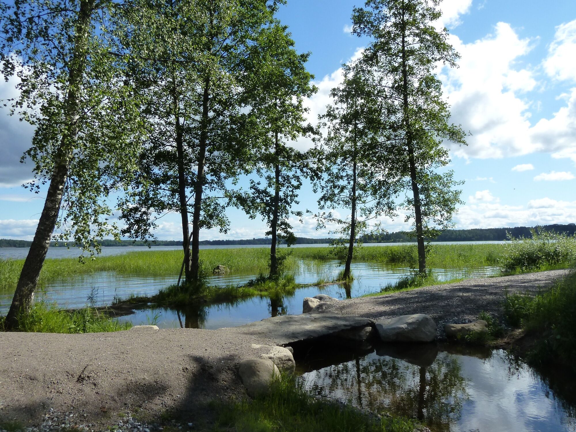
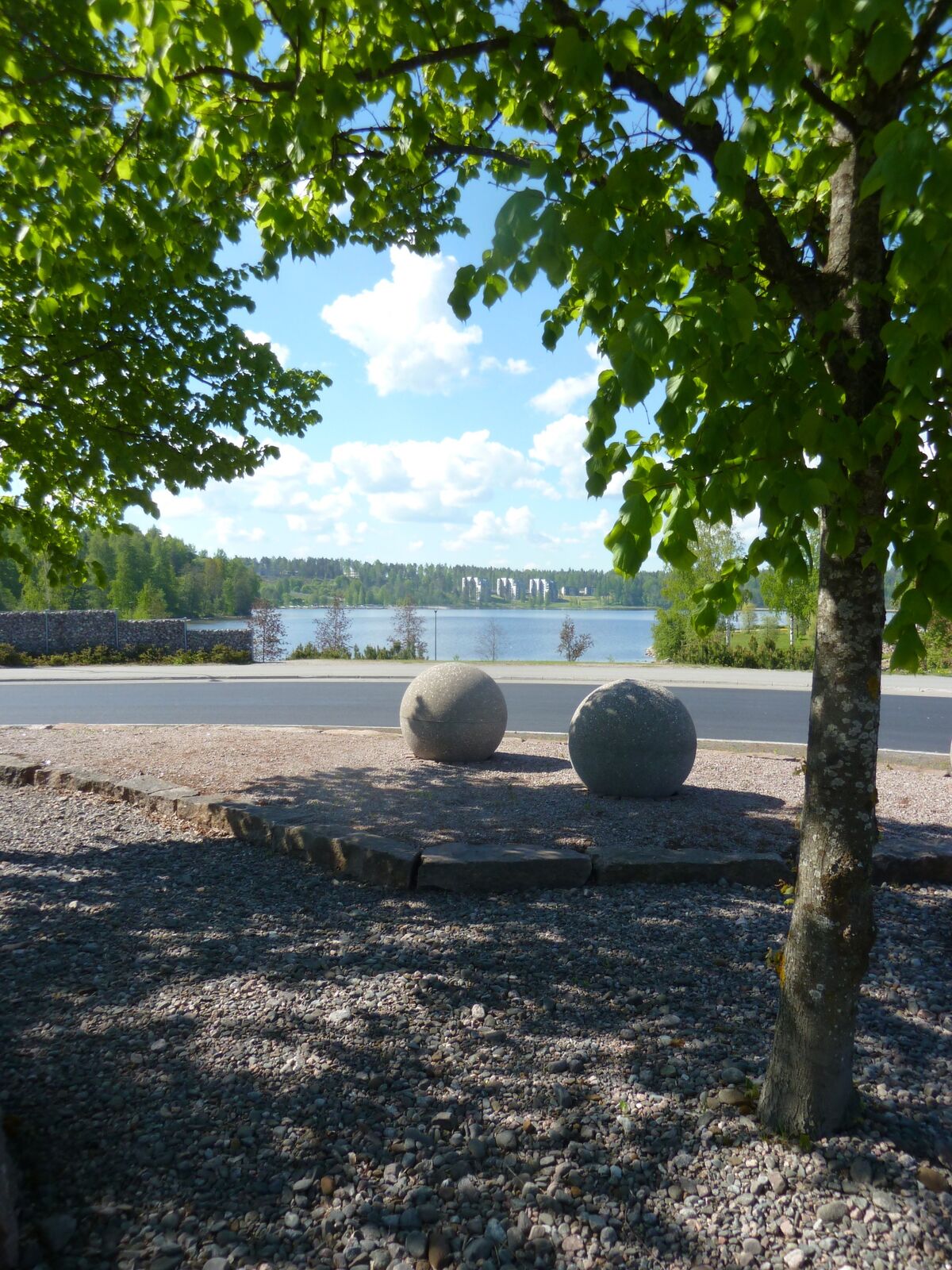
From the lakeside trails you can create a view of the beautiful Saimaa, while walking in the lush deciduous forest. The leisurely walker can find many interesting details along the lush nature trail. For...
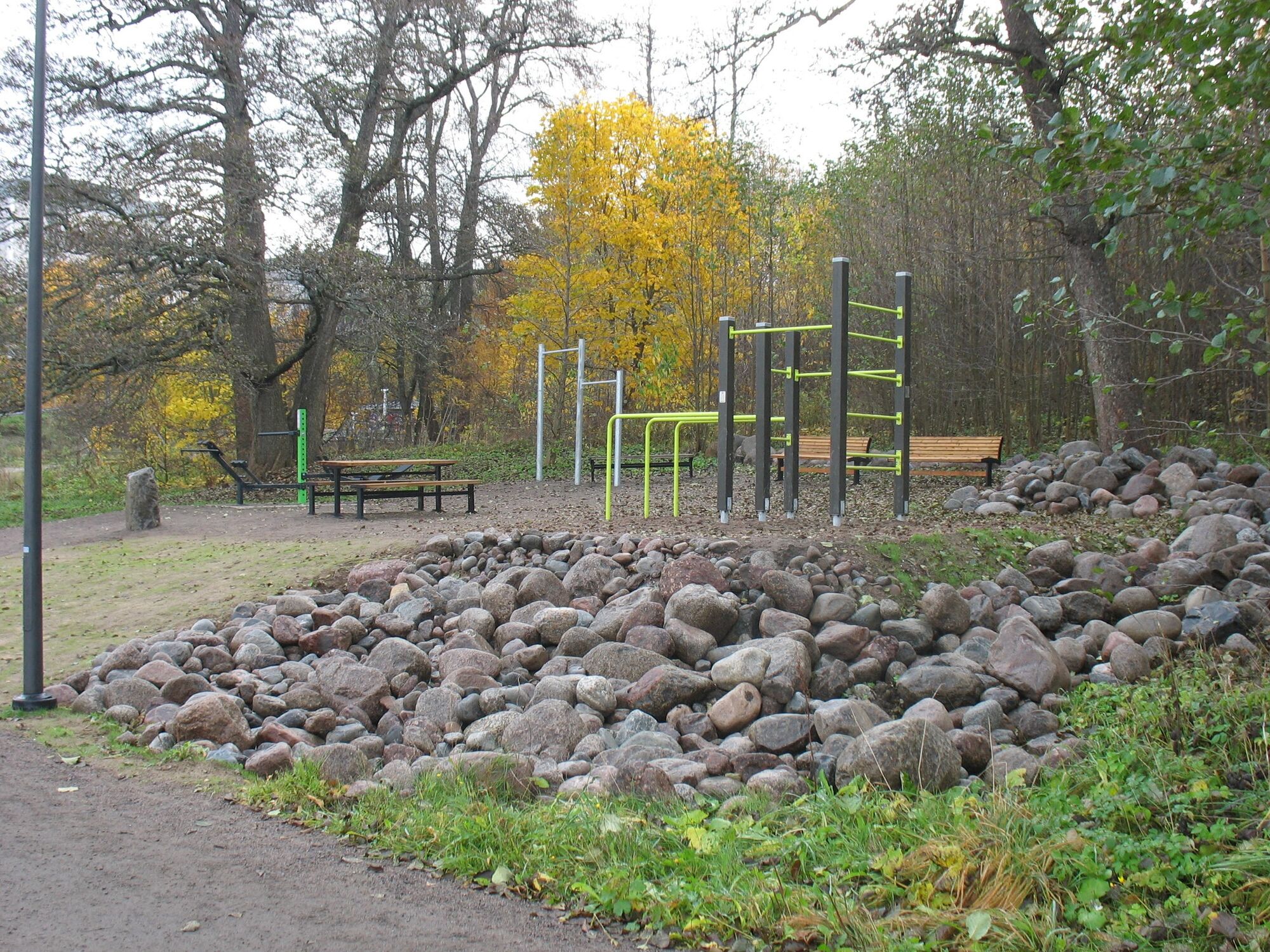
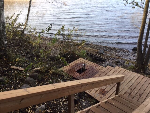
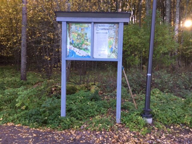
From the lakeside trails you can create a view of the beautiful Saimaa, while walking in the lush deciduous forest. The leisurely walker can find many interesting details along the lush nature trail. For the more keen nature lovers, there are, among other things, nature guides available. Along the route, stones have been brought from Lappeenranta's Purala and benches and exercise equipment have been installed - so it's perfect for dog walkers, families with children, hikers, anyone! Schoolchildren can also explore the route and get information about the area's nature from the signposts. There is also a natural spring along the route where you can easily get fresh spring water to drink.
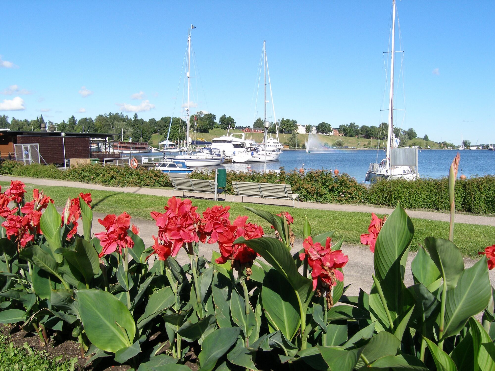
The Rantaraitti continues from the Pallo roundabout to Myllysaari on Lappeenranta's Rantabulevard, which also runs along the shores of Lake Saimaa, past the Lappeenranta fortress, Hiekkalinna and the harbour. It is also possible to walk along the shores of Lake Saimaa to Tyysterniemi.
The City of Lappeenranta is responsible for the maintenance and upkeep of the coastal path

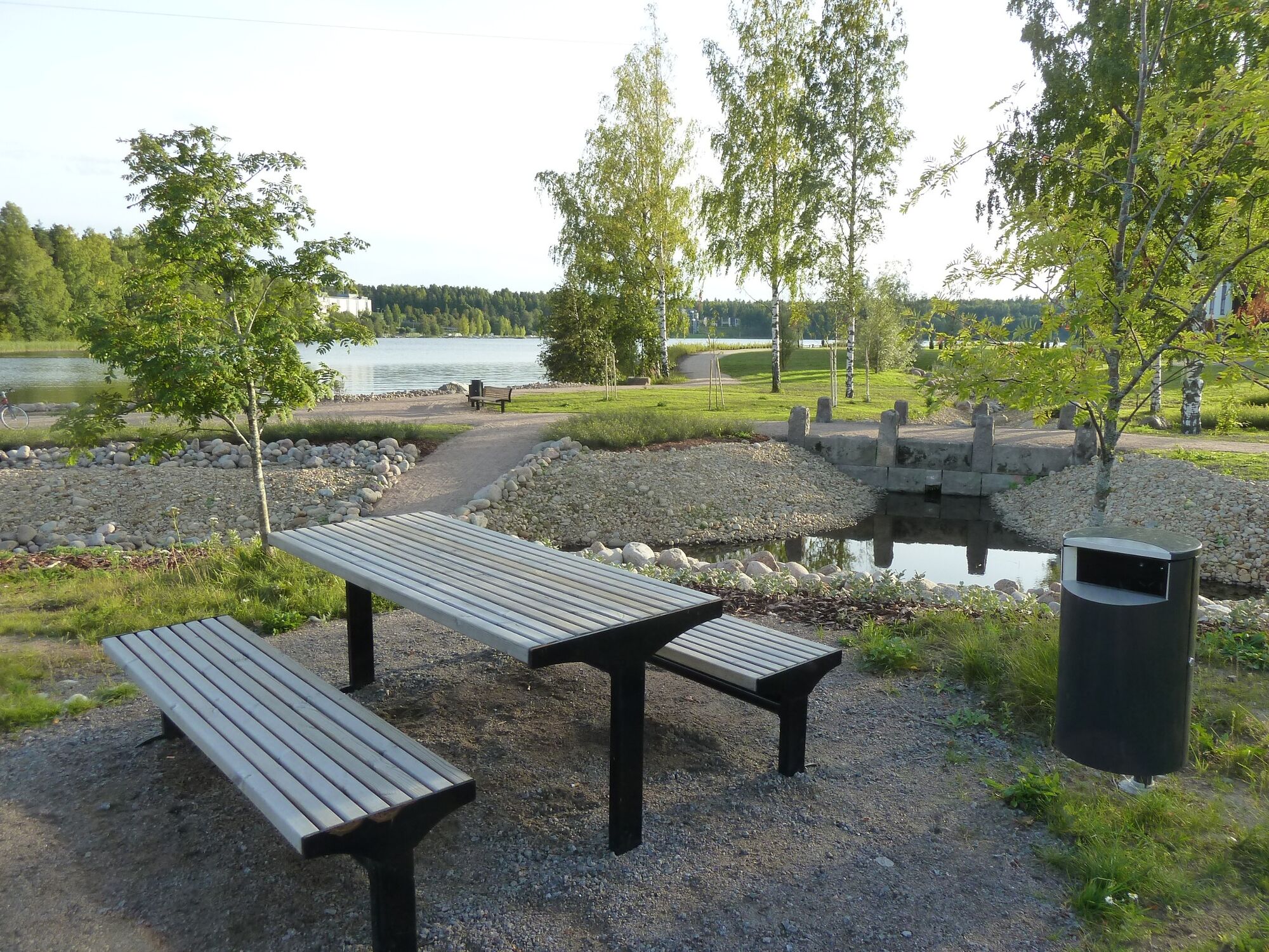
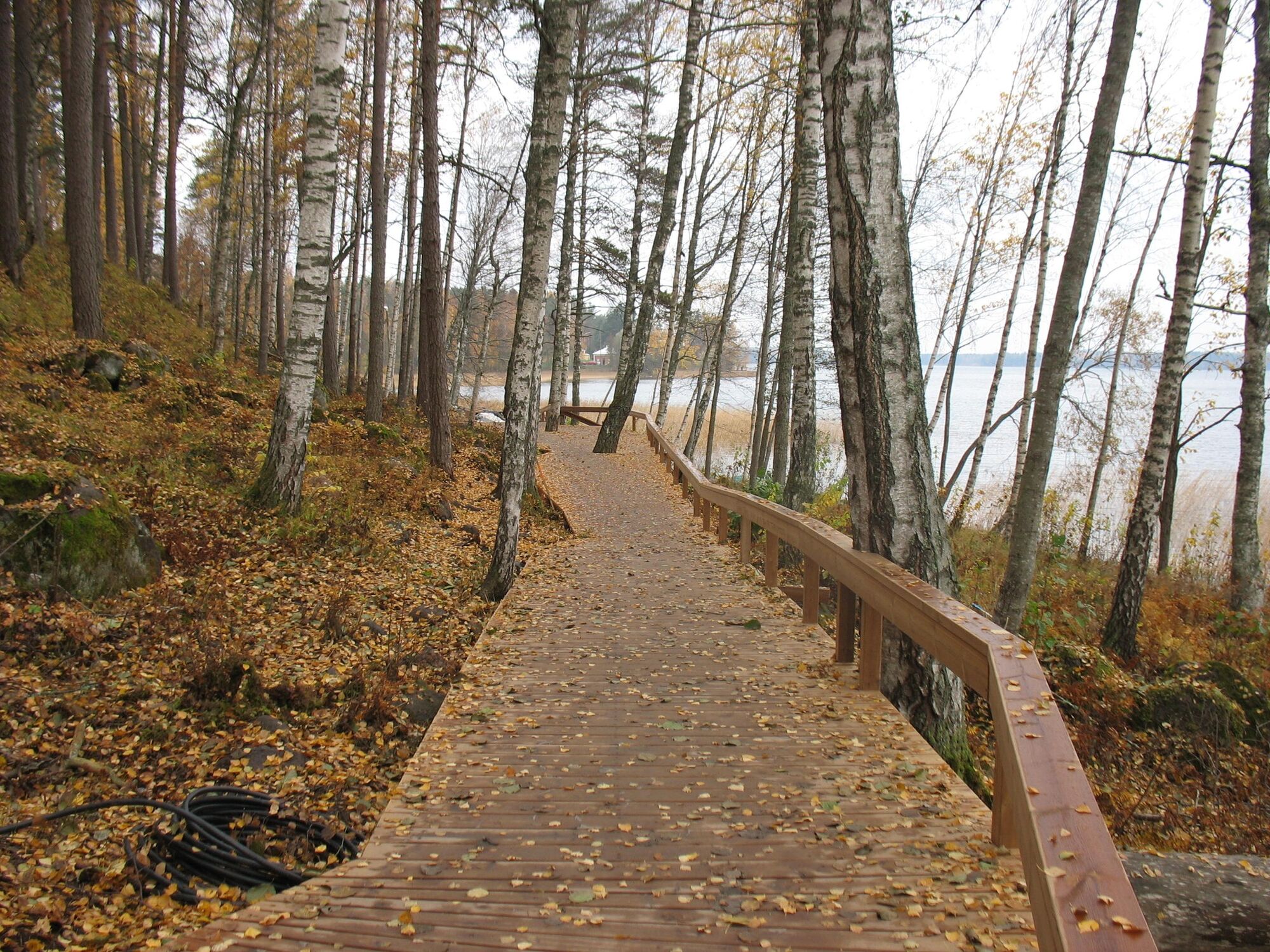
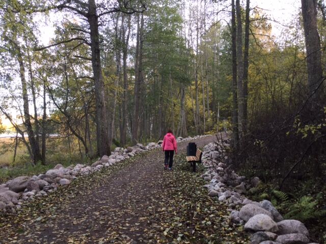

The path is paved with stone ash and partly illuminated. No large variations in height.
Áno
Áno
Áno
Appropriate clothing, sturdy footwear. Plenty to drink, although there is also a fountain along the way for fresh water.
It is safest to move in a group if you do not know the terrain or the water area. Before the excursion, it is advisable to acquire the necessary maps and guides and check the weather forecast, particularly when going boating. Wear sturdy footwear and clothes that suit the weather. It is recommended that you take first aid equipment, rainwear, a spare set of clothes, as well as enough drinks with you, particularly in the summer. Remember to wear a floating vest when boating.
In wet weather and in winter, duckboards, rocks and piers can be slippery.
During the snowy season, the trails and routes are not maintained.
In an emergency, dial the number 112. Report your location, what has happened and listen to the instructions.
Myllysaari can be reached by car or bicycle. The path is paved with stone ash and partly illuminated. No large variations in height.
Local transport routes run through the centre of Lappeenranta. There is no bus connection directly to Myllysaari, the starting point of the destination.
There is parking space in and around Myllysaari.
Der Uferweg führt zu den Ufern des Saimaa-Sees und der Natur direkt vom Herzen von Lappeenranta!
Obľúbené výlety v okolí
-
4,5
Taipalsaari scenic cycling route
strednáCyklistika 42,7 km -
Pappilanniemi nature trail, Lappeenranta
strednáTematická trasa 1,78 km -
Mikonsaari nature trail, Lappeenranta
strednáTematická trasa 2,03 km -
Saimaa Canal lock route by bike, Lappeenranta
svetloCyklistika 25,4 km -
Lappeenranta city cycling route
svetloCyklistika 10,7 km -
Lappeenranta Lakeside route (Rantaraitti), geological trail
svetloTematická trasa 6,09 km -
Ruohosaari circuit, Lappeenranta
strednáKajak / Kanu 22,8 km -
Lappeenranta-Imatra border cycling route
ťažkéCyklistika 102,7 km -
Hirvisaari route, Lappeenranta
strednáKajak / Kanu 24,0 km -
Hämmäauteensuo Mire Nature Trail, Lappeenranta
svetloTematická trasa 3,91 km
Turistika a stopovanie


Nenechajte si ujsť ponuky a inšpiráciu na ďalšiu dovolenku
Vaša e-mailová adresa bol pridaný do poštového zoznamu.





