






Route of the Pievi of Carnia Stage 11 From Sauris di Sotto to Rifugio Tenente Fabbro
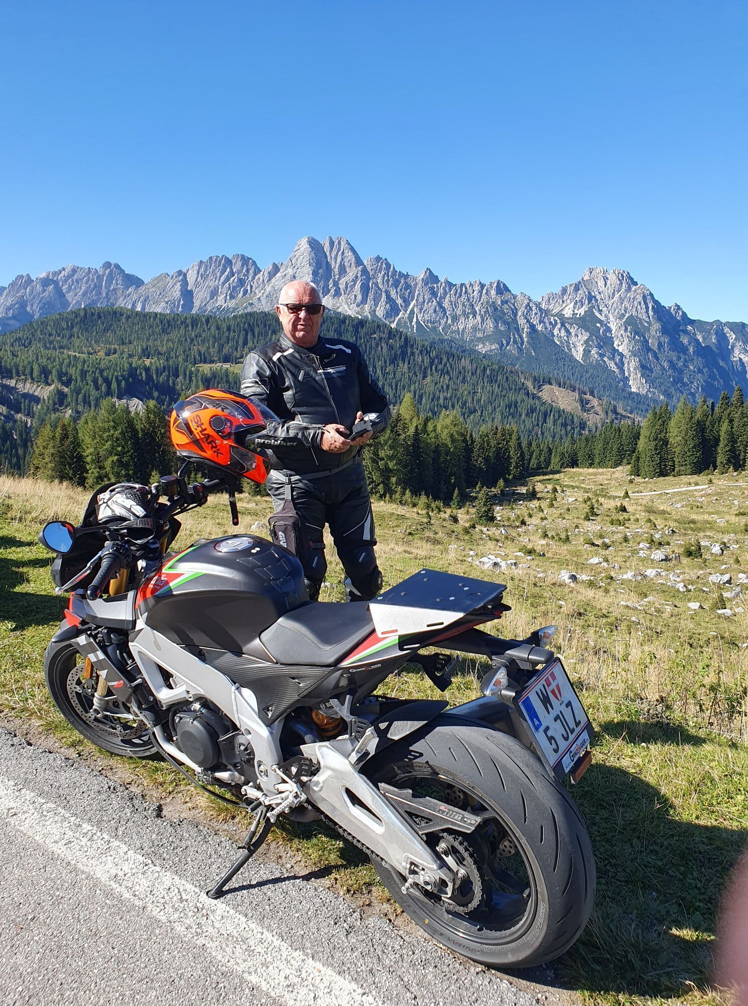
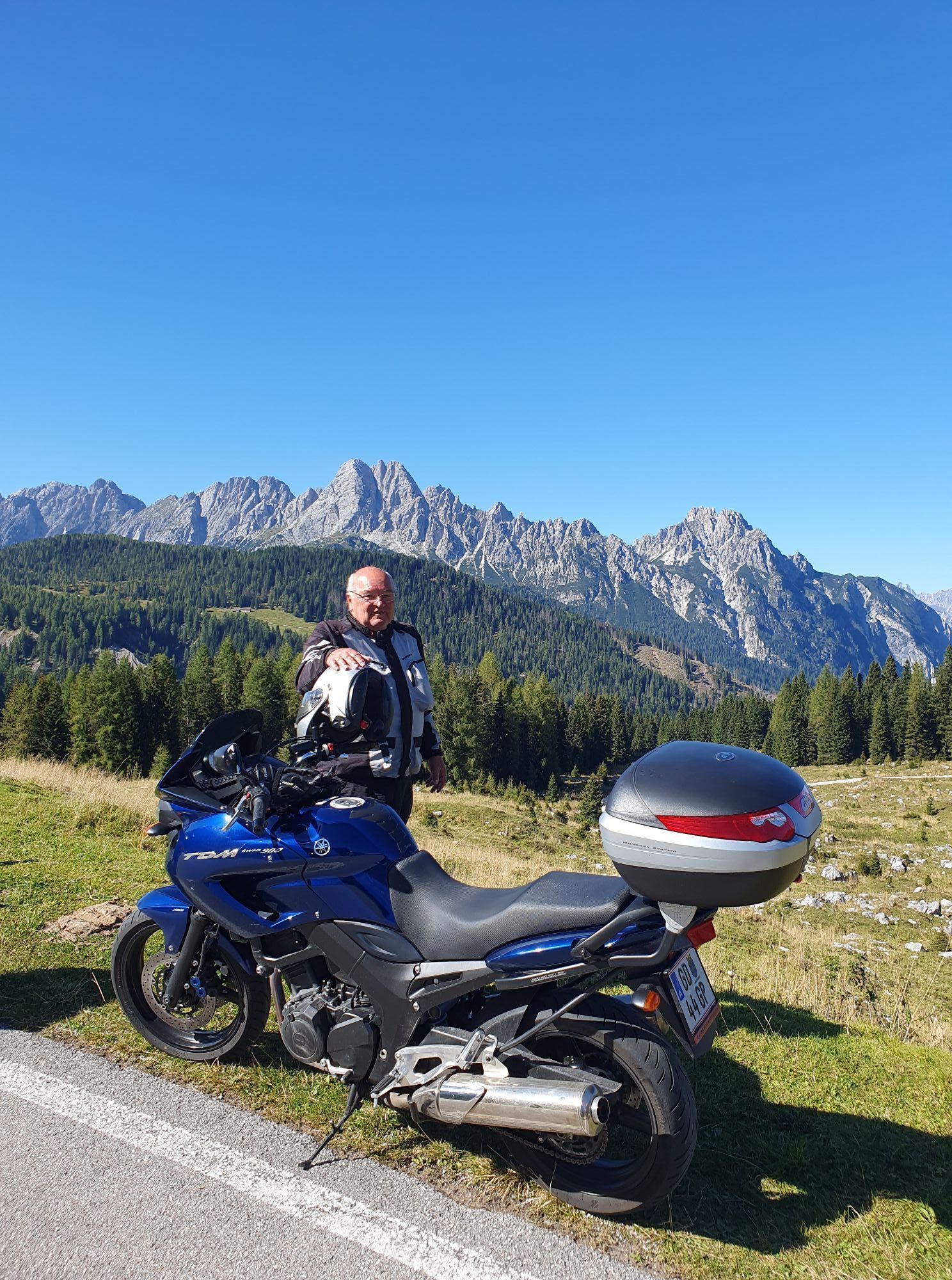
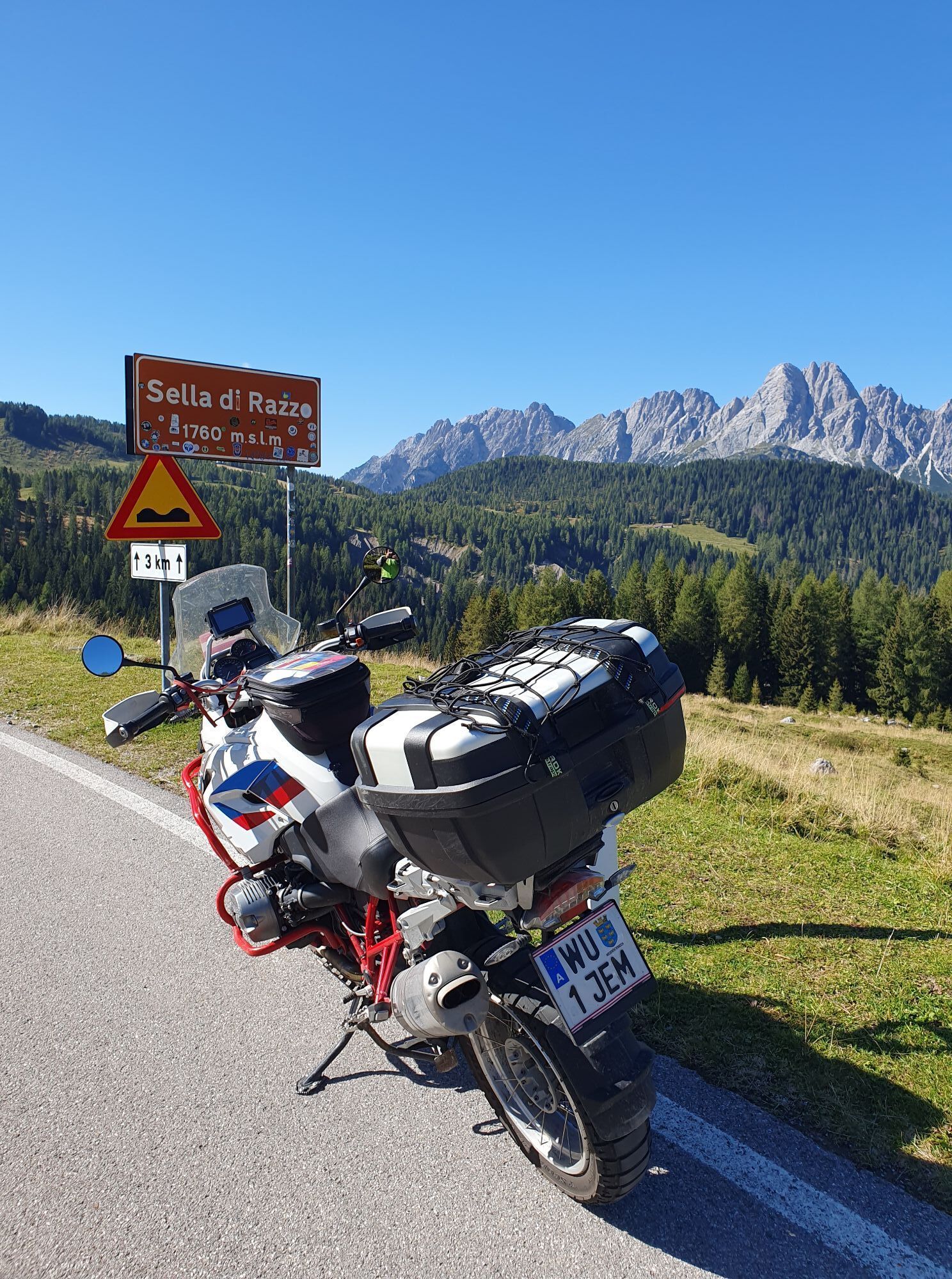
From Sauris di Sotto, you reach Sauris di Sopra by following the path to the right of the road. Upon arriving at Sauris di Sopra, continue to the right passing by the village fountain and shortly after...
From Sauris di Sotto, you reach Sauris di Sopra by following the path to the right of the road. Upon arriving at Sauris di Sopra, continue to the right passing by the village fountain and shortly after take the uphill road (CAI trail 204) up to Sella Festons, a panoramic spot overlooking small lakes and a signpost of the Path of Faith that leads from Sauris to the Sanctuary of Maria Luggau in Austria.
After the hardest part, the road continues along a traverse (CAI trail 205, keep left at the first two forks), with only slight ups and downs until Casera Rioda. Here the CAI trail 205 is left behind and you proceed to the left along a path leading to Forcella Rioda.
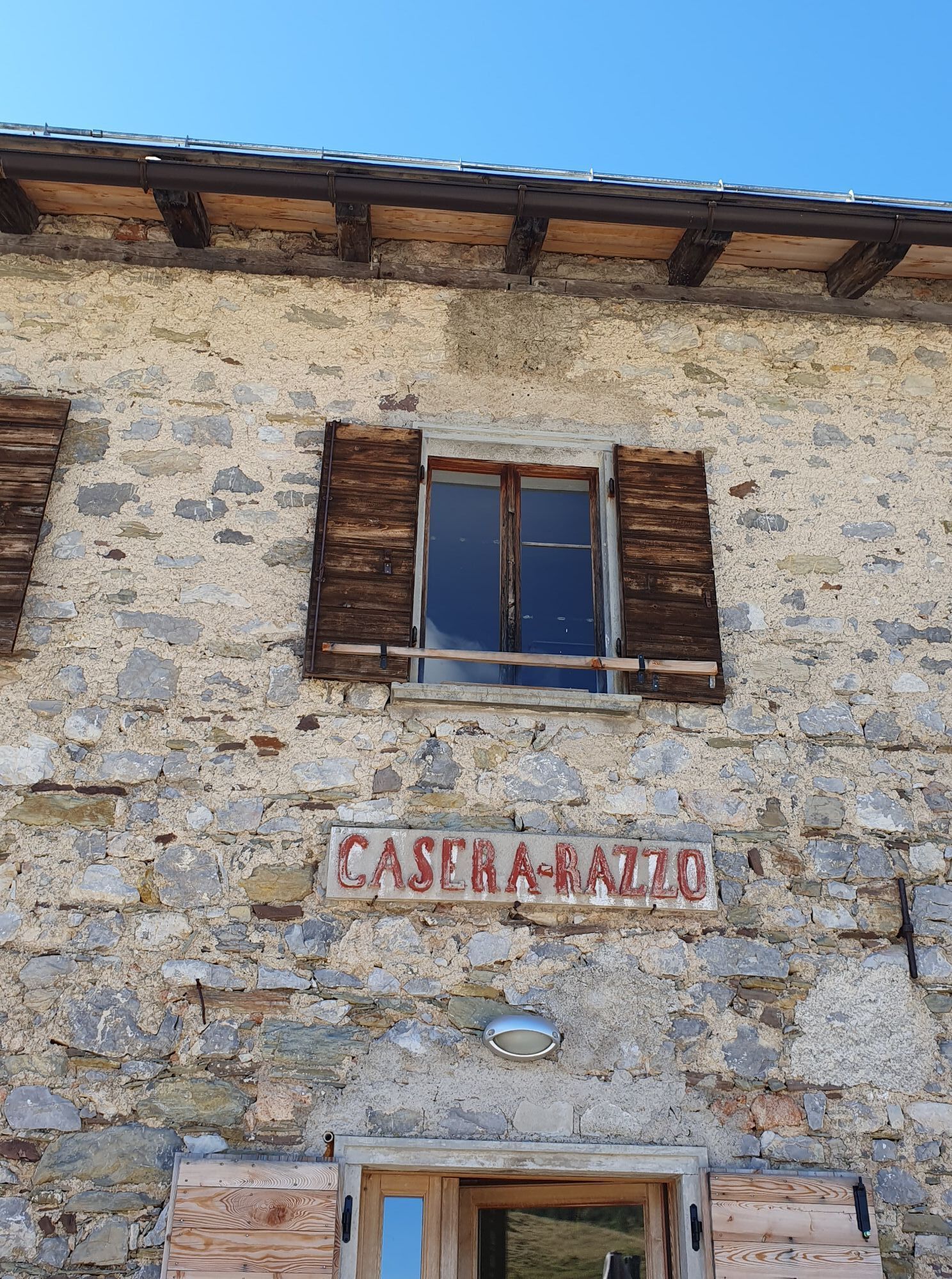
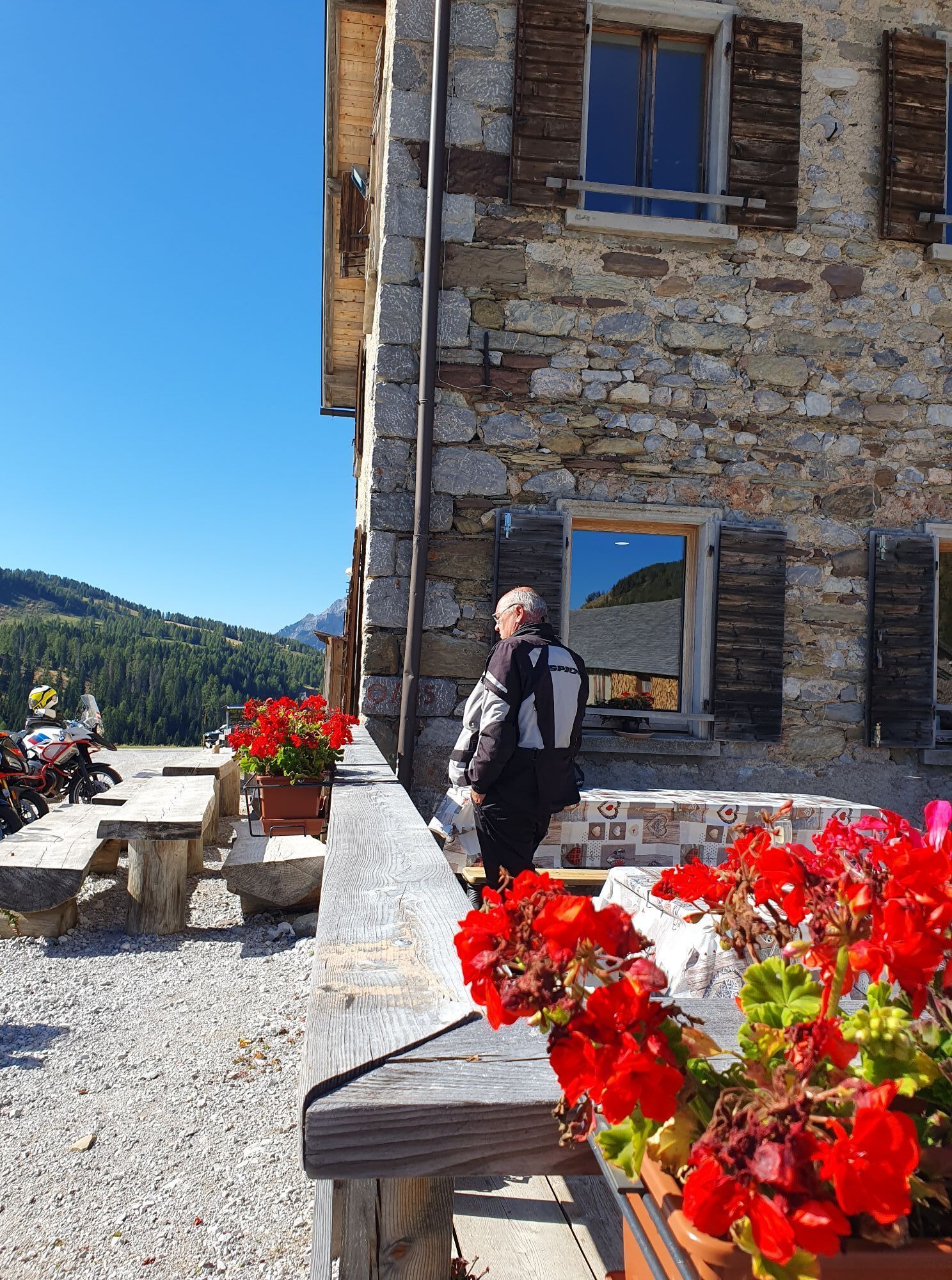
From the saddle, the path becomes easier and after about 300 m, you encounter CAI trail 206 which you follow until the Sella di Rioda. Continuing on the road, still to the right, you follow a stretch that leads to Casera Razzo. From here, you continue along regional road 619 up to Rifugio Tenente Fabbro.

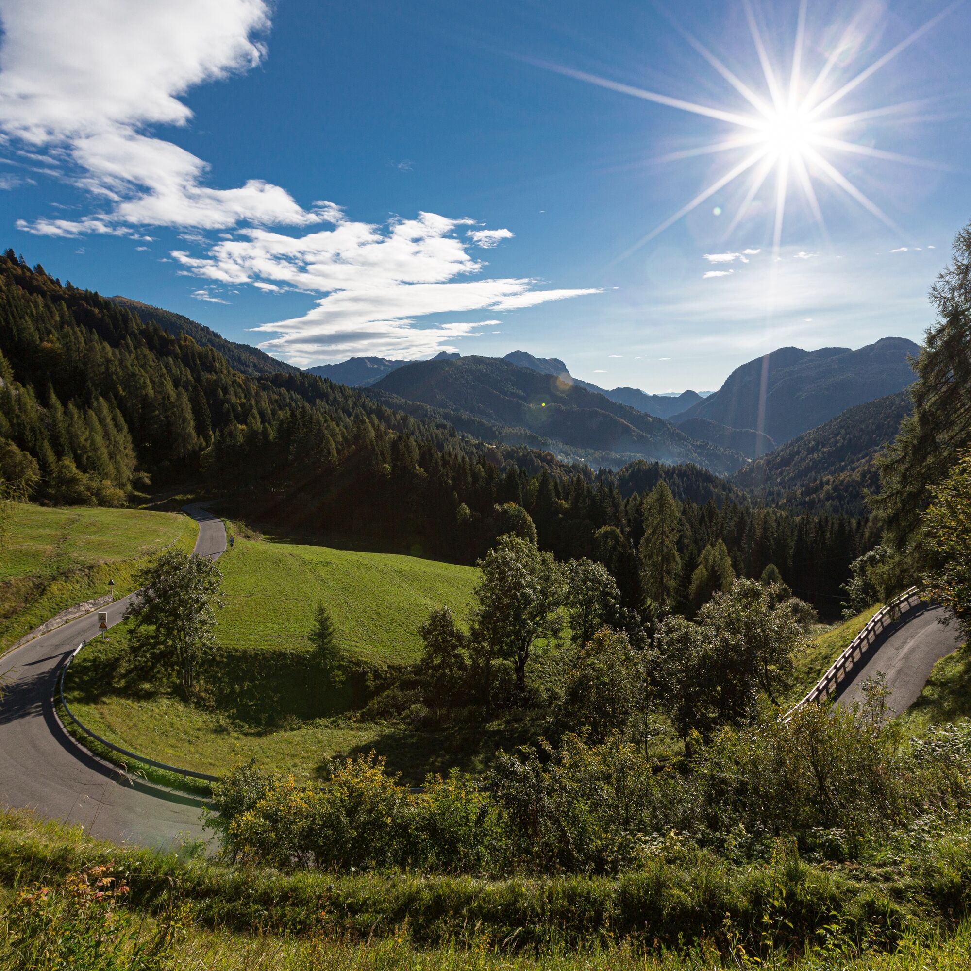

Áno
Obľúbené výlety v okolí
-
4,5
Tiziana Weiss nature trail
strednáTuristika 9,23 km -
4,0
Mounts Bivera and Clap Savon from Casera Razzo, alpine ride
ťažkéTuristika 20,5 km -
30 MONTE CHIADIN - Sappada
strednádiaľková pešia trasa 4,22 km -
5,0
Pani loop
svetloTuristika 6,26 km -
2,0
Carnic Dolomites Road
ťažkéCyklistika 294,3 km -
5,0
16 MONTE FERRO REFUGE from Borgata Bach - Sappada
svetloTuristika 1,47 km -
The multicolored campanili of Mount Zauf
strednáTuristika 14,2 km -
Urtisiel and Canpuros, Dolomitic wonders
strednáTuristika 13,5 km -
Colmajer ridge loop
strednáTuristika 7,51 km -
25 OLBE LAKES via the ski slope and path 135 - Sappada
strednádiaľková pešia trasa 4,70 km
Turistika a stopovanie


Nenechajte si ujsť ponuky a inšpiráciu na ďalšiu dovolenku
Vaša e-mailová adresa bol pridaný do poštového zoznamu.





