







Carsus Trail, stage 2: Renče - Lipa
Úroveň náročnosti: T1
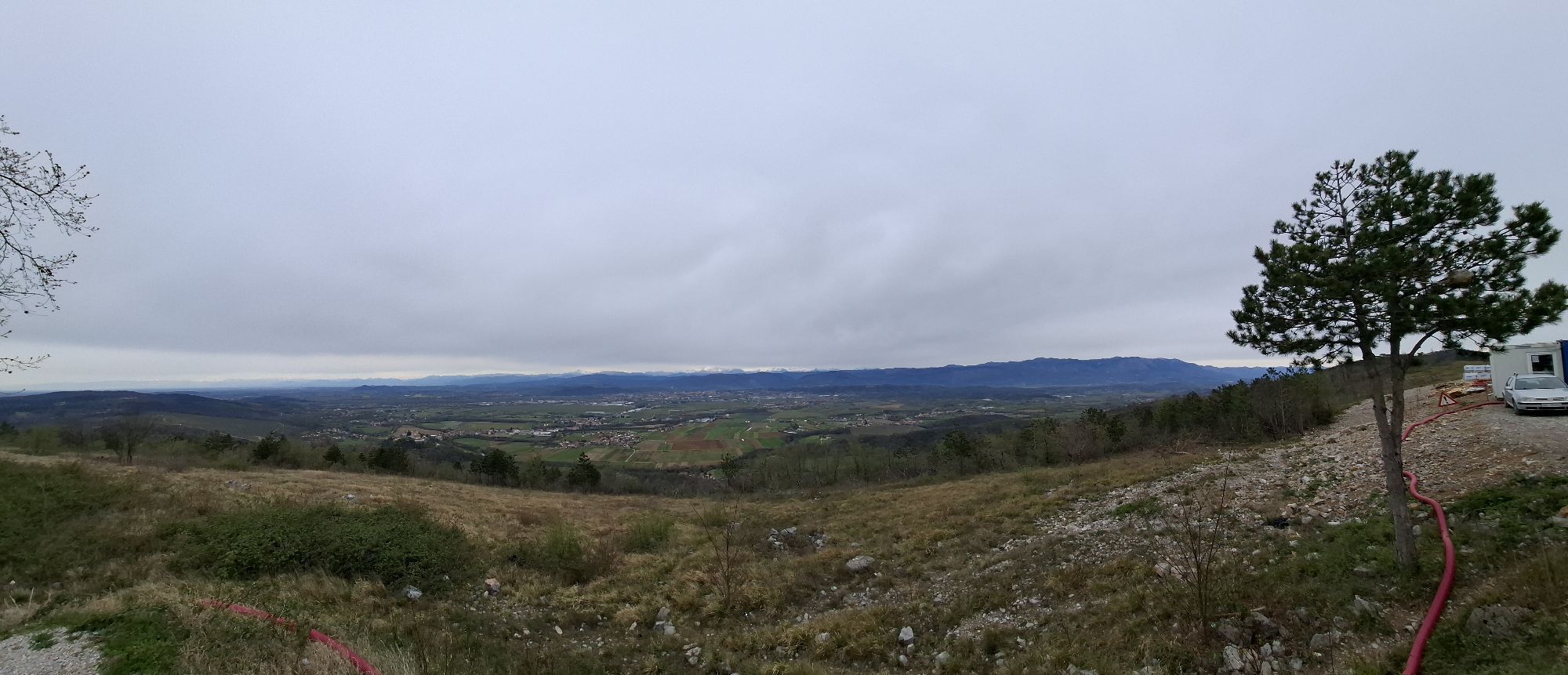
The second stage of the Carsus Trail is a journey between two different worlds. From the friendly and fertile Vipava Valley, it takes us across the steep slopes of Fajti Hill into a sharper, bora-exposed...
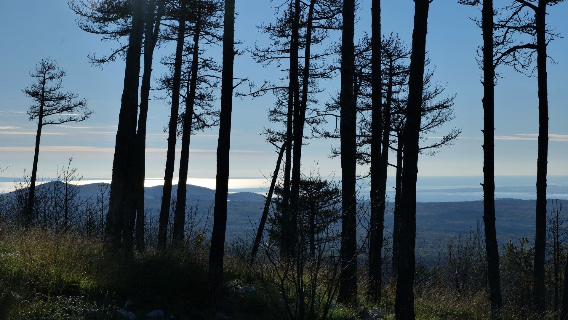
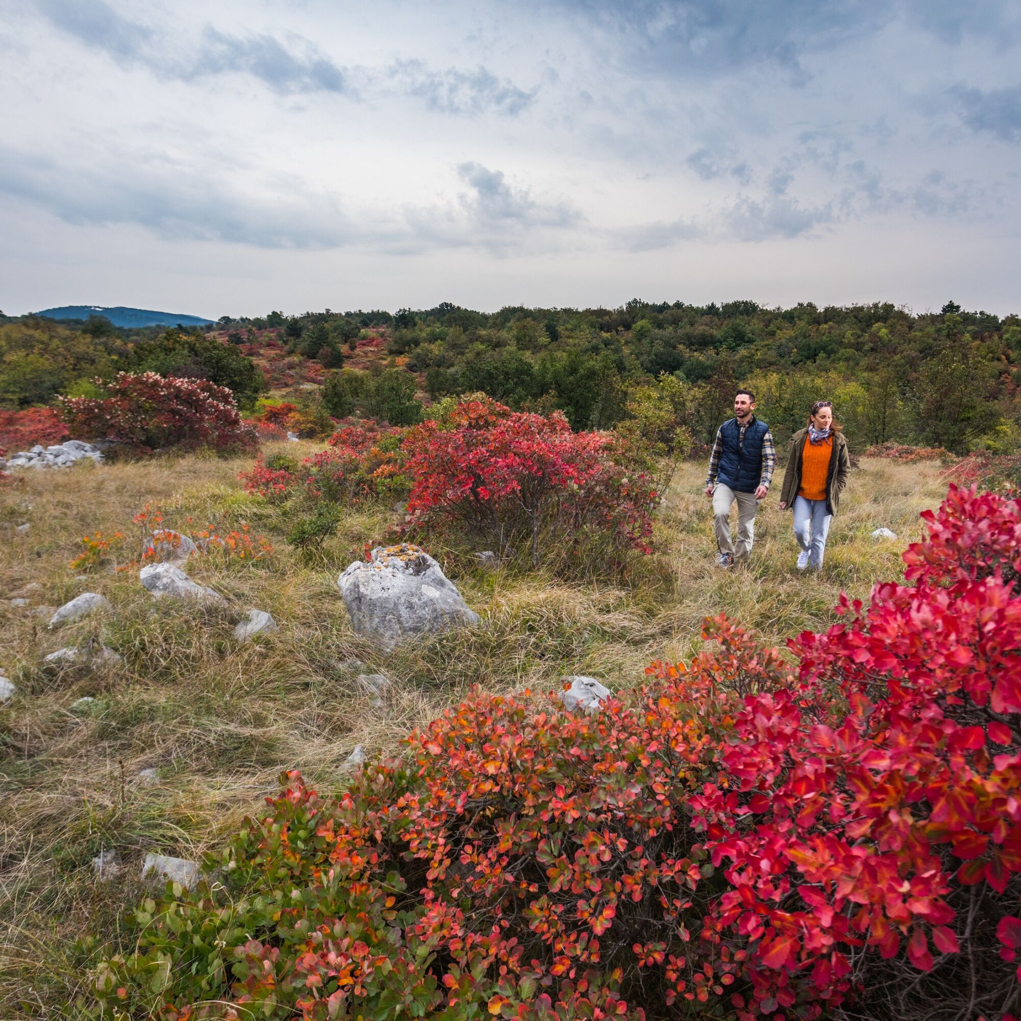
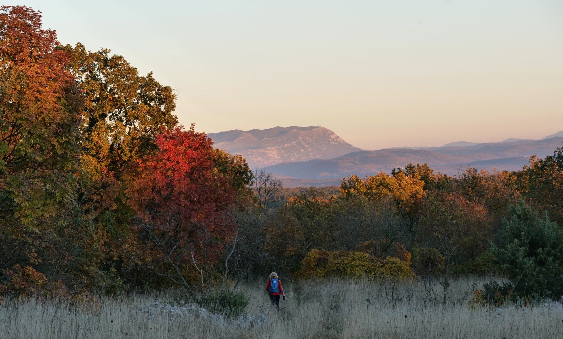
The ascent from the valley is like a journey across a postcard; the higher we go, the more beautiful the views of the Vipava Valley and the mountain ranges of the Julian Alps, Carnic peaks, and Dolomites. At the top of Fajti Hill, we are rewarded with views across the Karst and through pine trees to the sparkling surface of the Adriatic Sea.
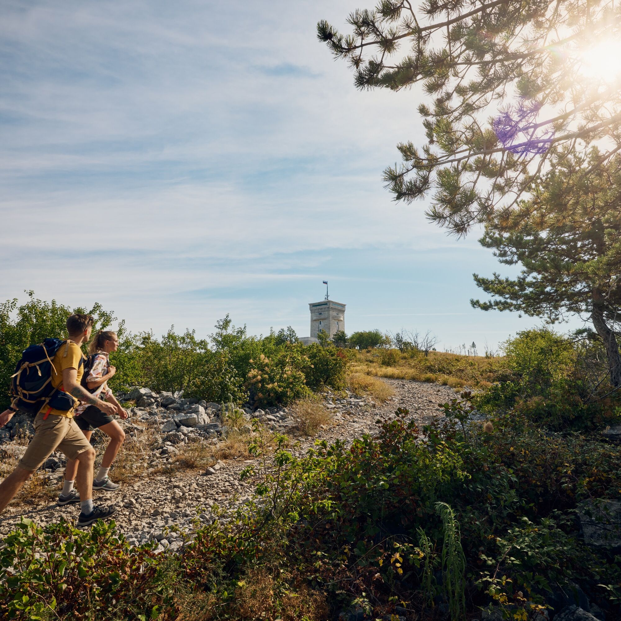
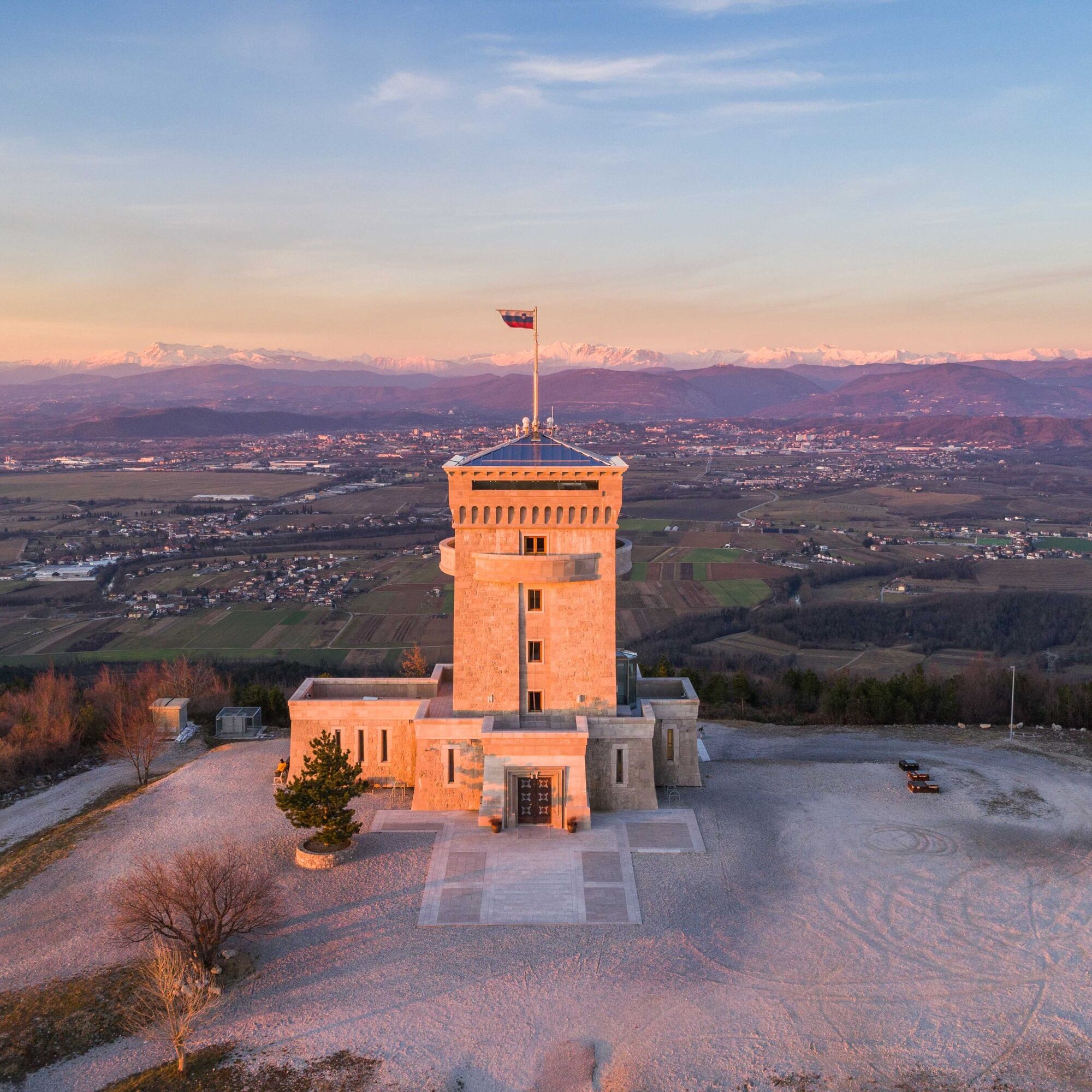
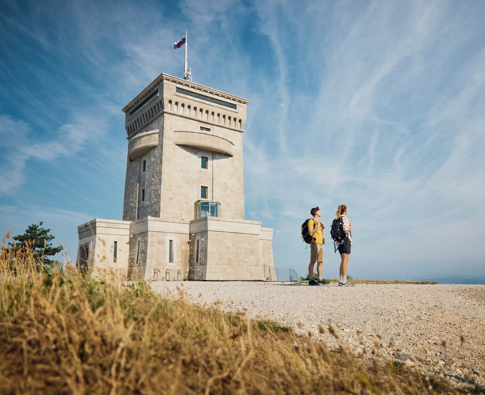
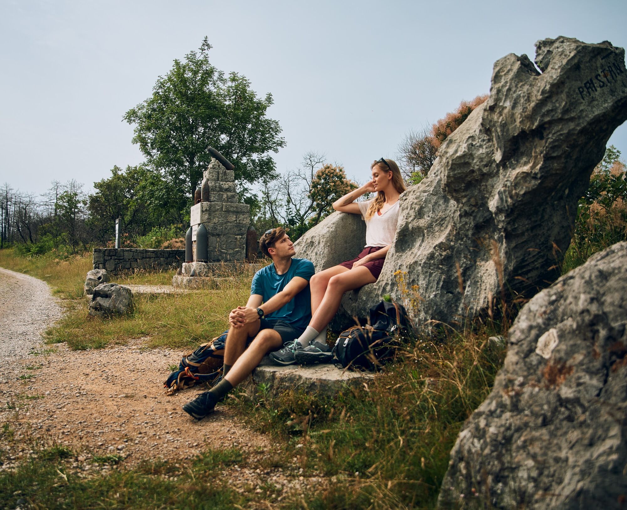
The monumental monument at Cerje tells the story of turbulent events in recent centuries in the Littoral region and space.
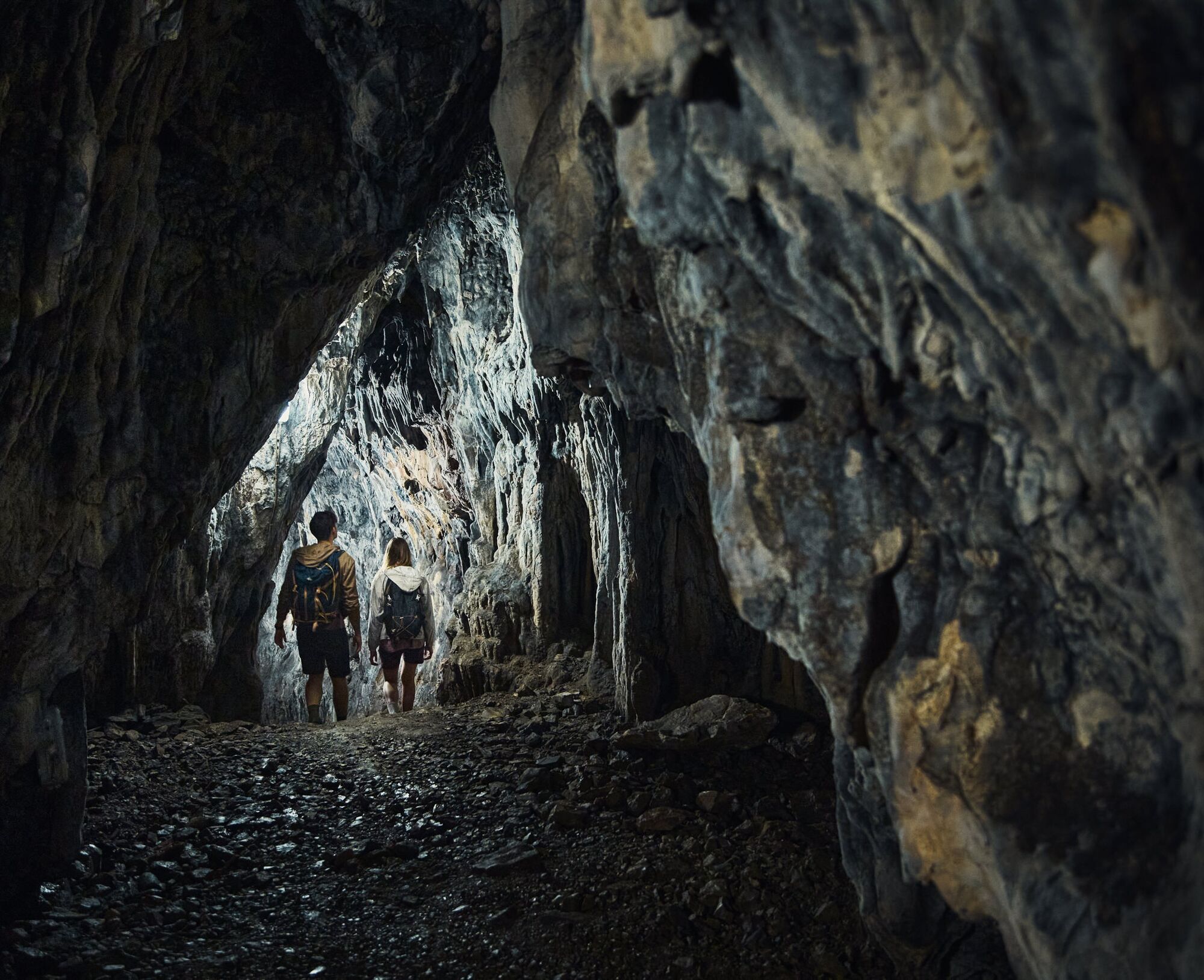
Throughout the stage, we encounter monuments from the time of the First World War. The open-air museum above VinišÄe, the PeÄinka cave, arranged as a museum, and BorojeviÄ's throne are the most famous and visited points from this period along the Carsus Trail. A part of the path runs along the former railway route, which at that time provided supply lines to the front-line positions.
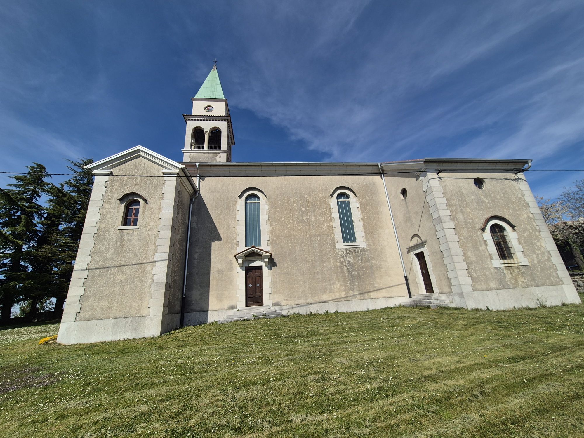
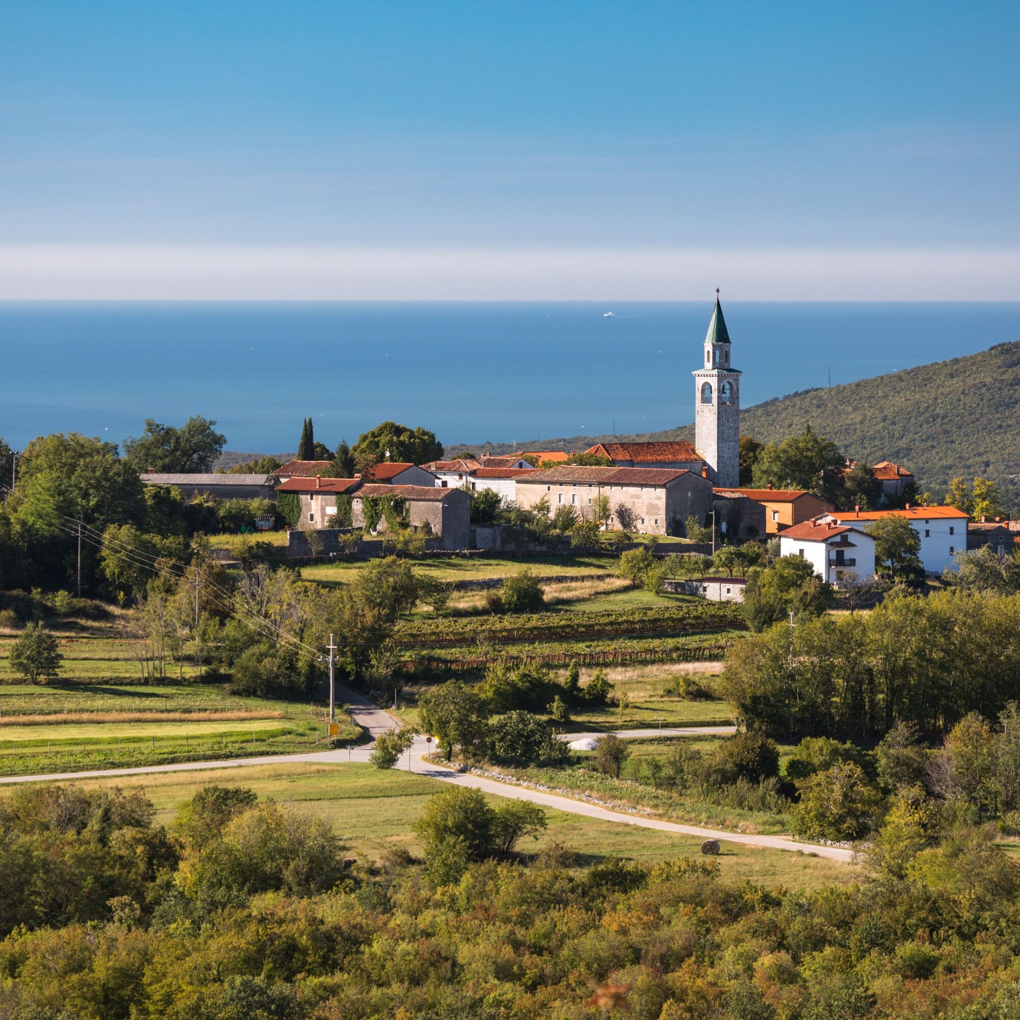
The villages of Kostanjevica, Temnica, and Lipa, where we finish the stage, will surely enchant us with their karst appearance and picturesque settlement in the landscape.


Along the road, about 100 m, we continue right to the first stream, where we find a track that leads us into the forest. When the path starts to disappear in the ravine, we choose the track on the left, which takes us over a steeper hill to a small clearing. At the edge of the clearing is a hunting lookout.
From the clearing, we continue left uphill, cross the road, and continue through the forest to the village of VinišÄe. Below the village is an interesting renovated well, where residents once fetched water, as the village's water supply on the Karst was limited to rare water sources.
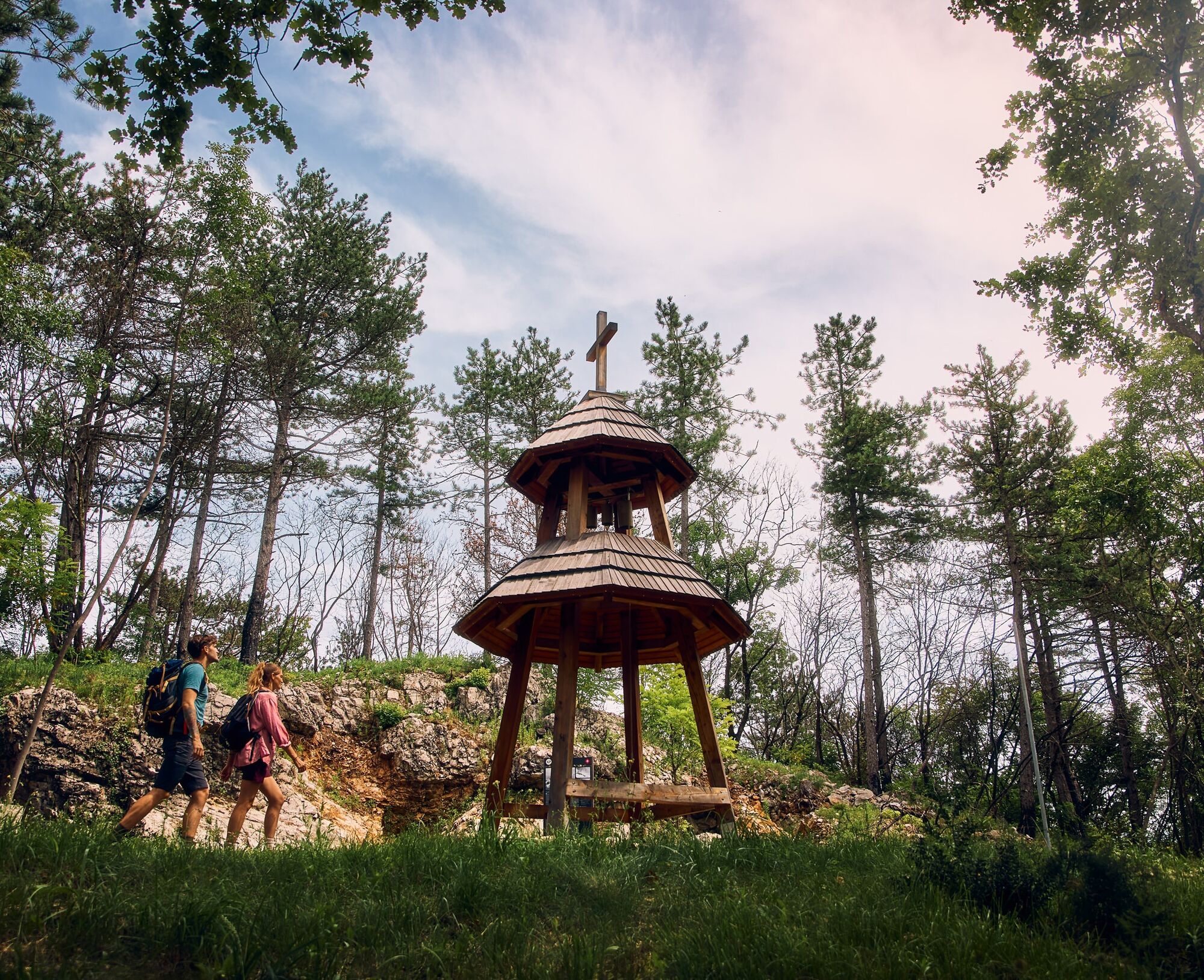
The path, also part of the Peace Trail in this section, takes us past the village to the World War I memorial park, where Slovaks erected a Bell Tower in 2022 in memory of fallen Slovak soldiers, a traditional form of their chapel.
We continue left, above the upper edge of the village, and further uphill through the forest to the start of the forest railways. In a semicircle, first right and then left uphill, we climb to the forest road, which steadily rises across the entire slope up to the scenic Cerje.
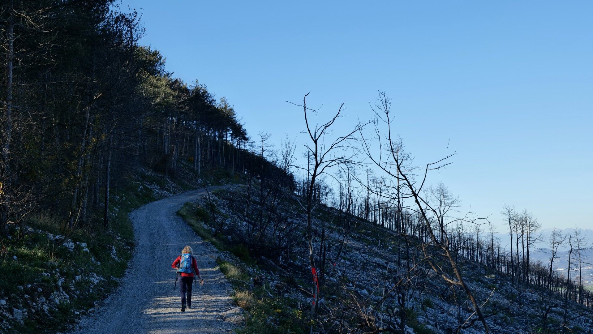
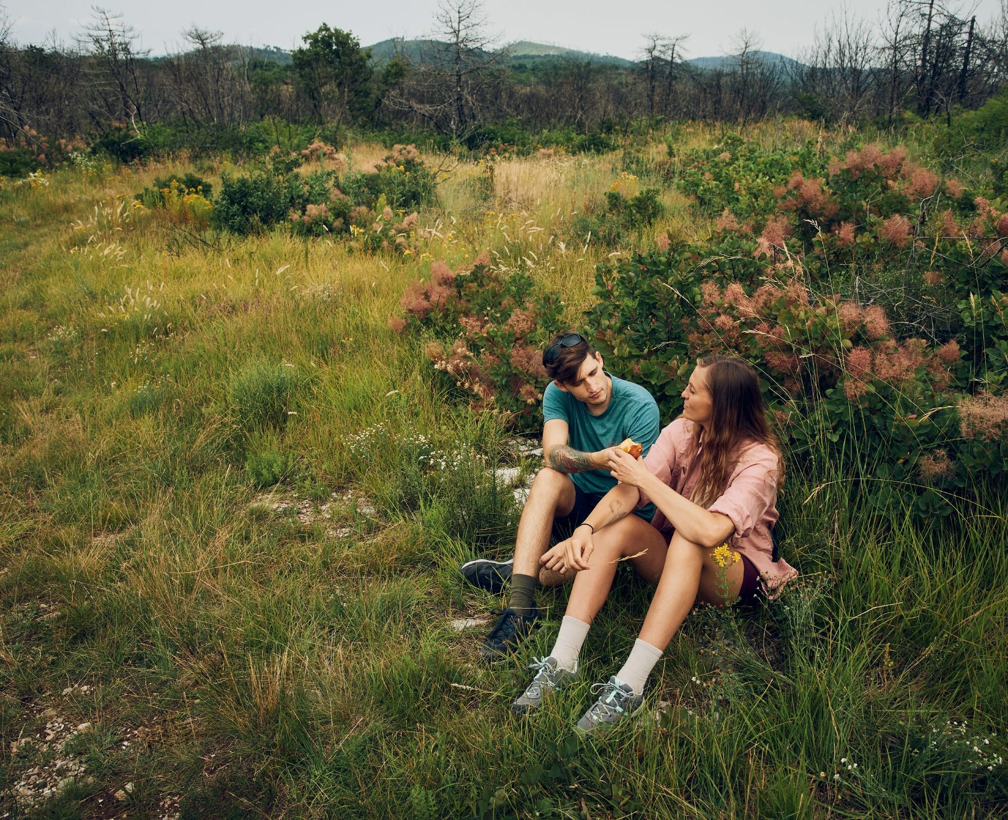
We continue along the road for 2.5 km through the forest of the former fire site, which still reveals charred tree skeletons, to the first contact with the ridge. Here we find a hiking trail that takes us from the saddle to the summit of Fajti Hill (434 m). We then follow the mountain trail along the ridge all the way to the monument on Cerje (about 2.4 km).
From Cerje, we continue along the fire road towards the PeÄinka cave and BorojeviÄ's throne. For a visit to the viewpoint at the exit of PeÄinka cave, we briefly leave the main trail. We return to BorojeviÄ's throne and from there continue along the fire road all the way to Kostanjevica.
We climb to the church and then descend into the village, where we walk to the primary school. Just below it, we find a crossing over the meadow and a field path that leads us out of the village into increasingly overgrown scrubland. Through the karst forest, we continue to the next village, Novelo.
We cross the road and continue along the outer edge of the village. Along the vineyard and across meadows, we continue to the road and the crossroads below the village of Temnica. Through the picturesque village, past the church, we walk to the sports field.
At the sports field, we turn right, slightly downhill through the village and then between fields and meadows to the track of the former military railway. We follow this track for about 1.5 km to a sharp bend or the connection to the fire road, along which we continue left, towards Trstelj. We finish the stage in the village of Lipa.
Áno
Standard hiking equipment: lighter hiking shoes and clothing suitable for the season.
The path is passable all year round; the most suitable and beautiful seasons are spring and autumn. It will not disappoint in winter either, but in summer one must accept the possibility of high temperatures.
From the direction of Gorizia (Nova Gorica or Gorizia) to Renče.
There is no public transport in the stage area. A local bus runs to Renče.
We park in the parking lot in front of the abandoned manor in the middle of the village. Suitable parking is also next to the brickyard.
T1
The Monument to the defenders of the Slovenian land tells the story of wars and turbulent historical events in the ethnic areas of Slovenia, which fortunately ended in peace and prosperity in united Europe. Of course, it is worth visiting.
PeÄinka cave is a natural cave that served as a dwelling and shelter for soldiers during the First World War. Soldiers dug the upper exit, which now allows a circular visit. The panoramic point at the exit can be visited, but the cave tour is only possible with a guide.
Between the start and end of the stage, all the way to Temnica, there are no intermediate accommodations; it must be covered entirely in one go.
Získajte prehľad
Vždy naživo na mieste s viac ako 9 500 webovými kamerami. bergfex Ako používateľ Pro si teraz môžete pozrieť príslušné webové kamery pre mnohé zájazdy v aplikácii zájazdy z. Môžete si tak priamo prezerať aktuálne podmienky.
Obľúbené výlety v okolí
-
4,8
Rilkeweg
svetloTuristika 6,19 km -
2,7
Grado - Terst (C204)
strednáDiaľková cyklotrasa 68,2 km -
5,0
Etappe 34 Alpe-Adria-Trail: Duino - Prosecco
strednádiaľková pešia trasa 24,3 km -
3,7
Trail to the natural stone bridge Skozno
svetloTuristika 5,62 km -
4,0
Rundgang von Cormons
svetloTuristika 7,31 km -
Collio - Brda Ring (R014)
strednáDiaľková cyklotrasa 60,6 km -
5,0
Sage Trail or Tiziana Weiss
svetloTuristika 2,41 km -
Carsus Trail - a long-distance trail through the Karst region of Slovenia and Italy
strednádiaľková pešia trasa 102,2 km -
FVG 2/b Krasový variant (C2V2)
ťažkéDiaľková cyklotrasa 105,1 km -
4,0
Etappe 33 Alpe-Adria-Trail: Gradisca d'Isonzo - Duino
strednádiaľková pešia trasa 27,8 km

Turistika a stopovanie


Nenechajte si ujsť ponuky a inšpiráciu na ďalšiu dovolenku
Vaša e-mailová adresa bol pridaný do poštového zoznamu.





