






Edge route
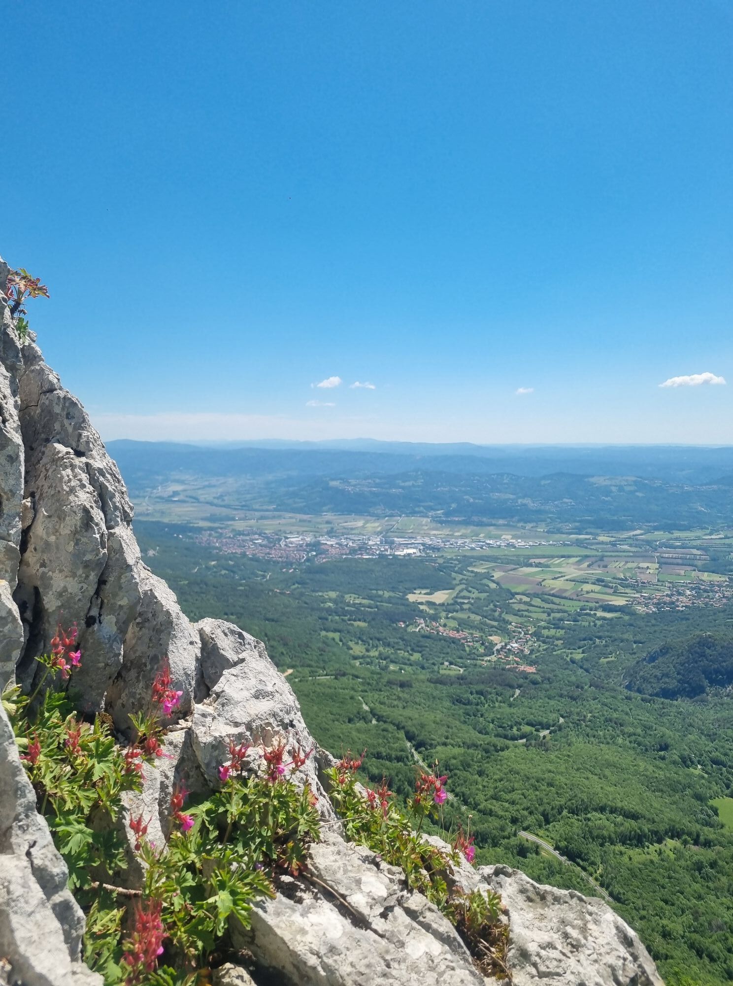
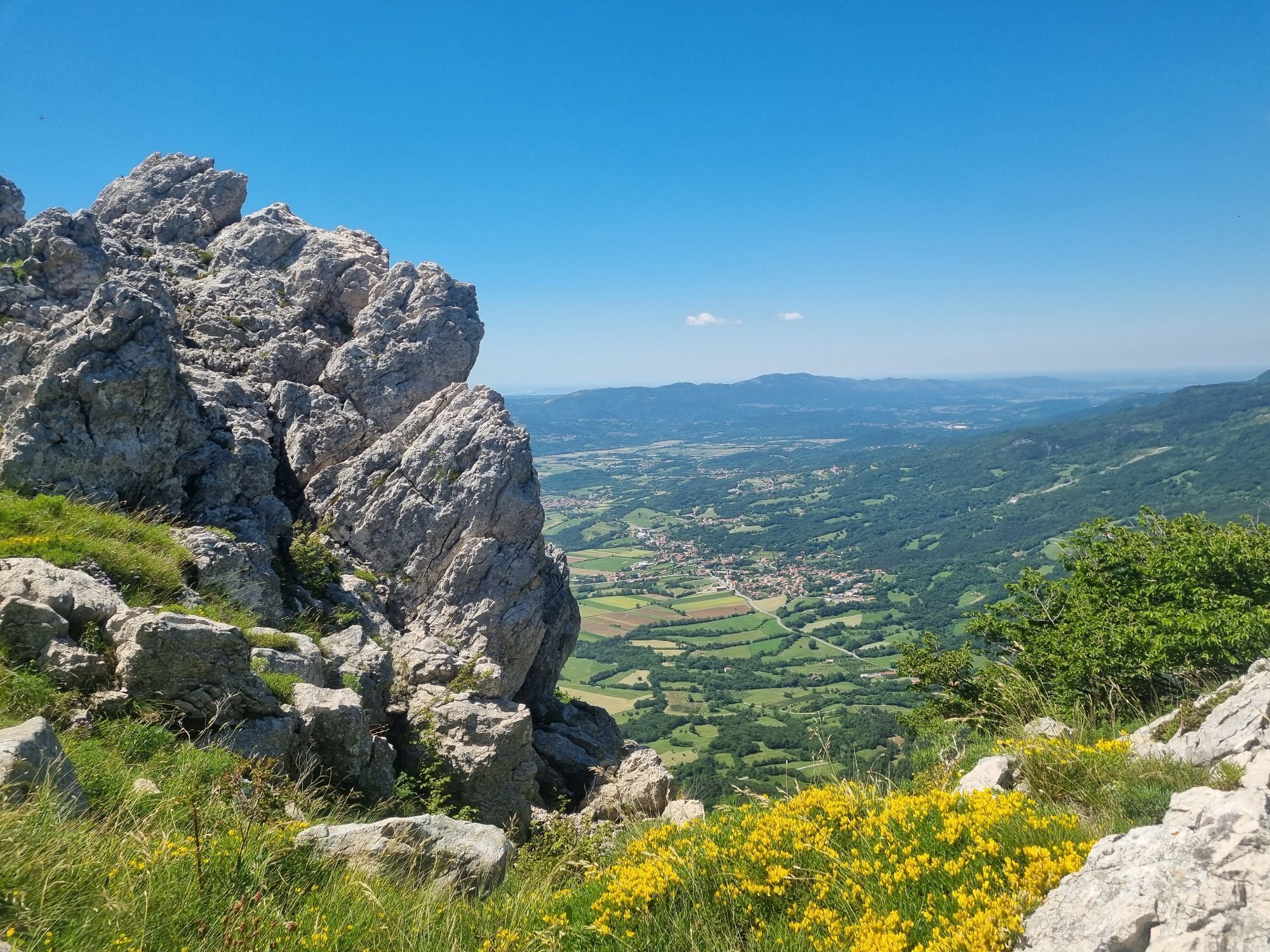
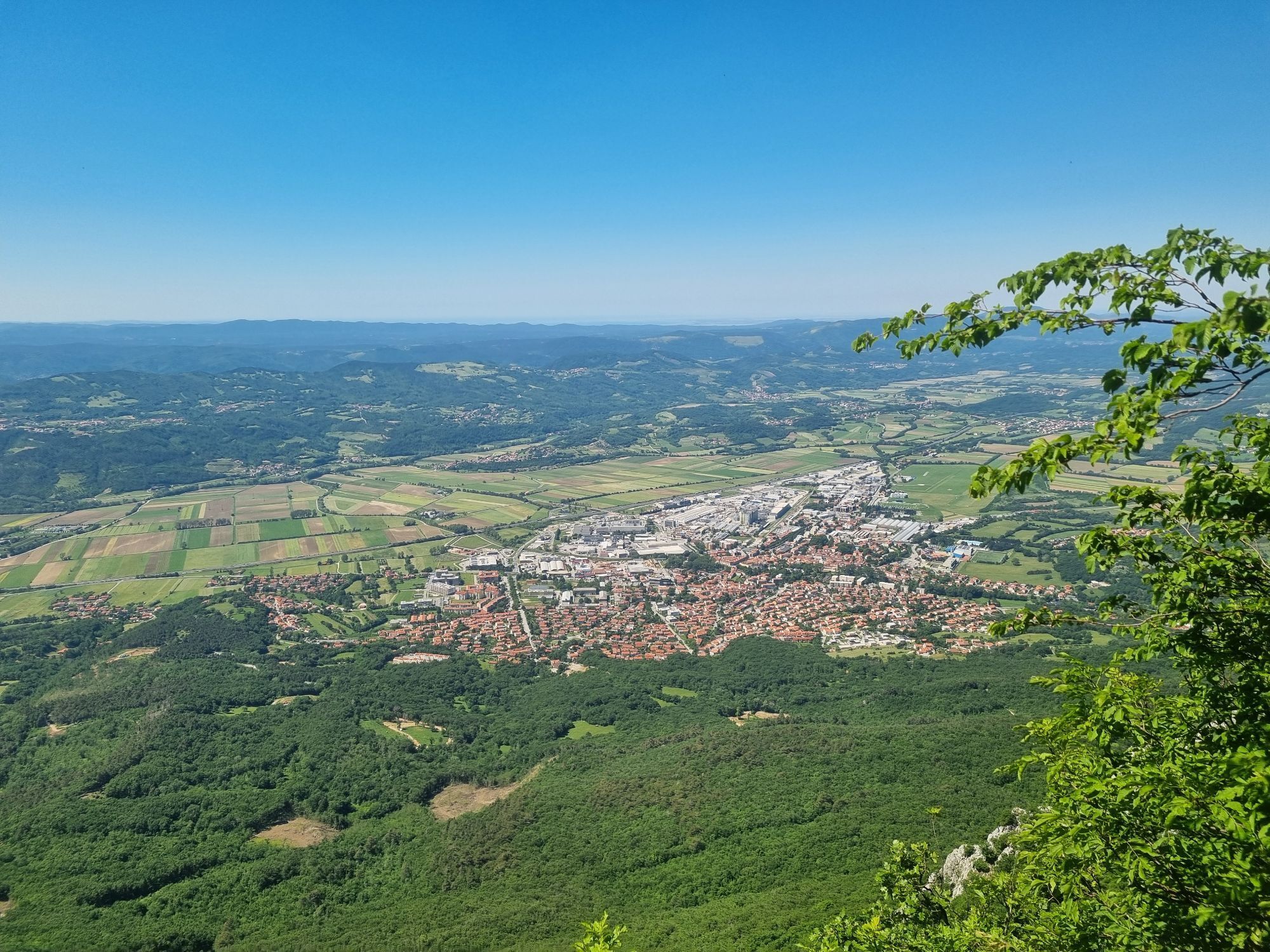
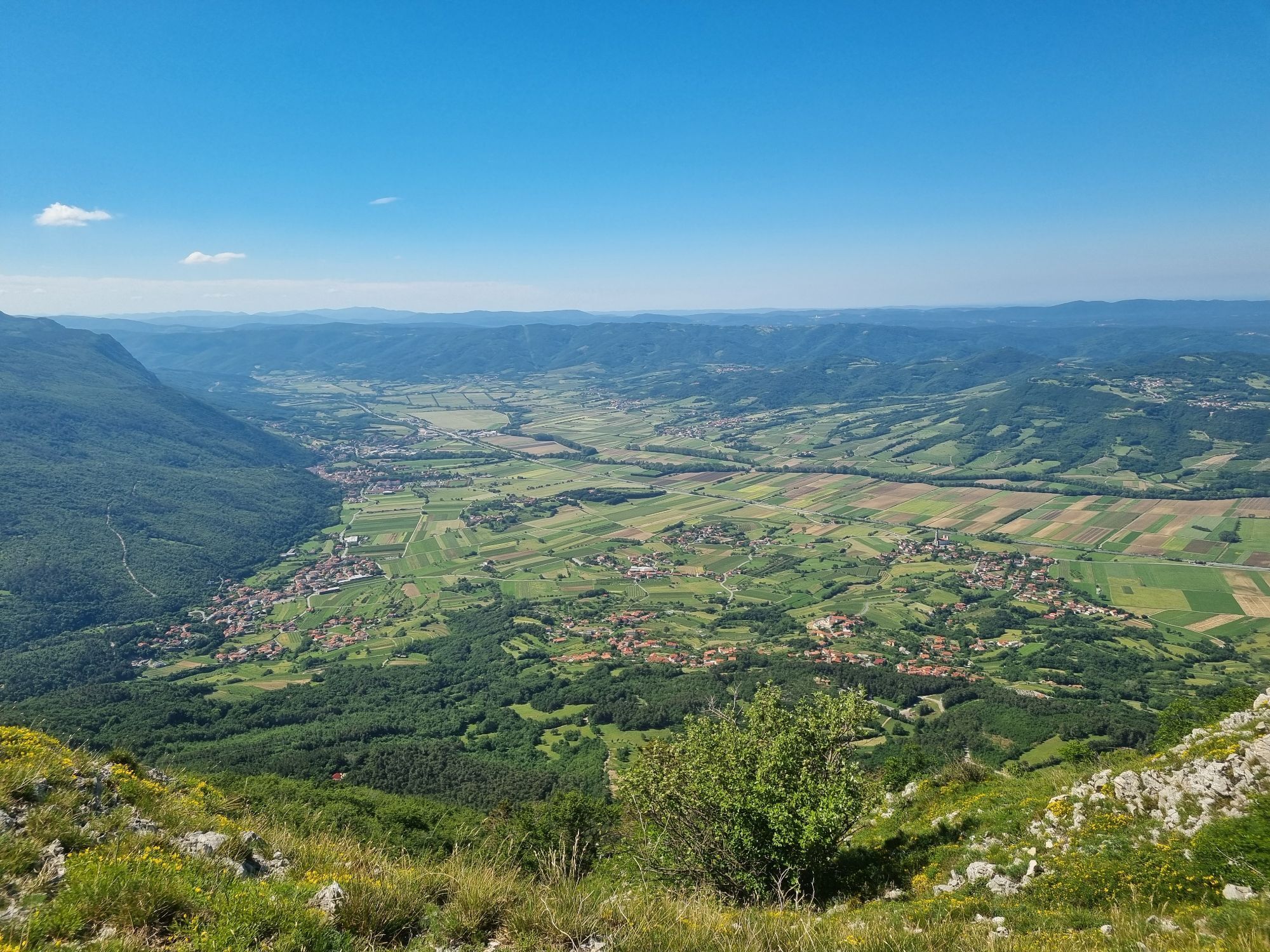
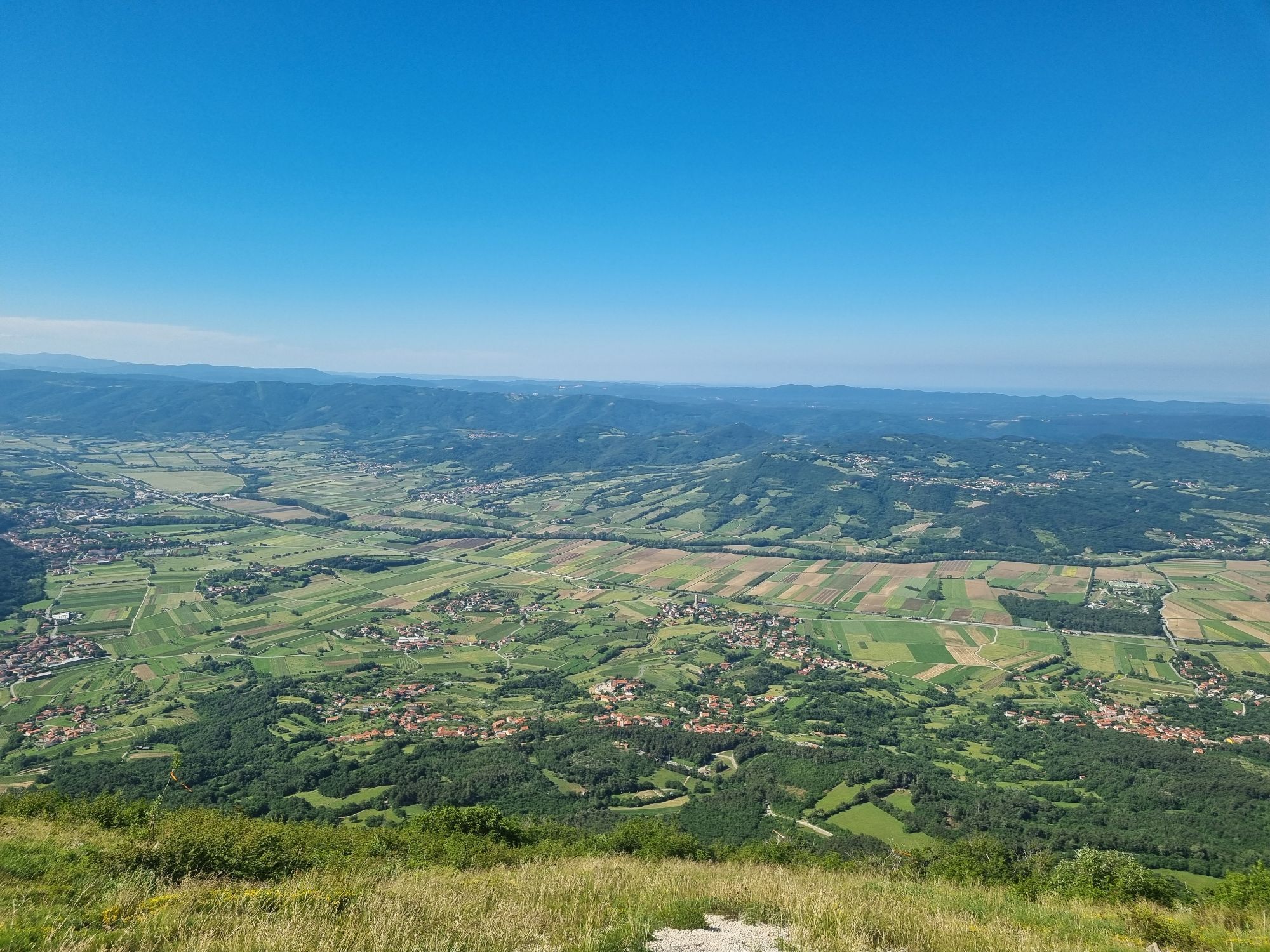
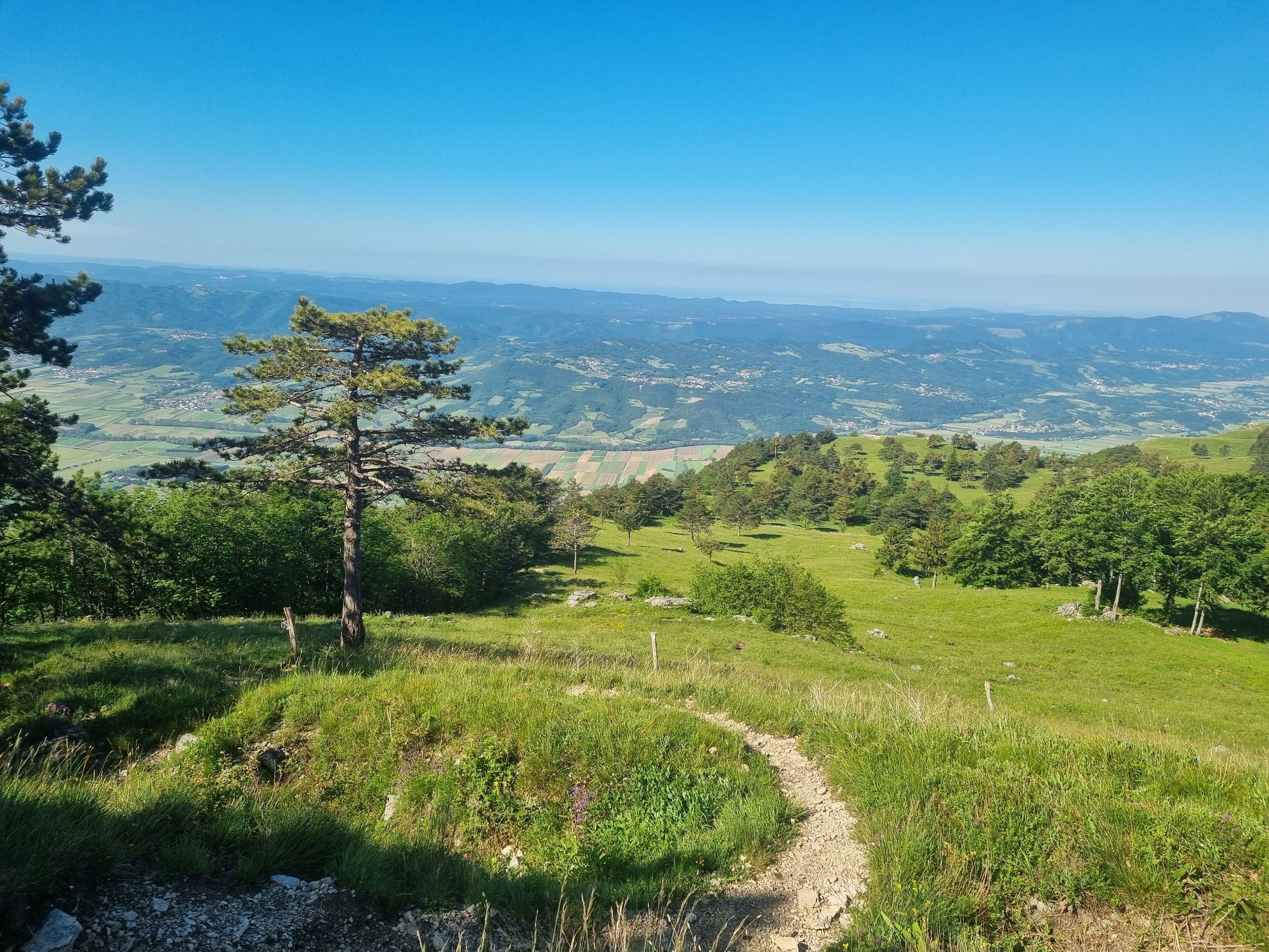
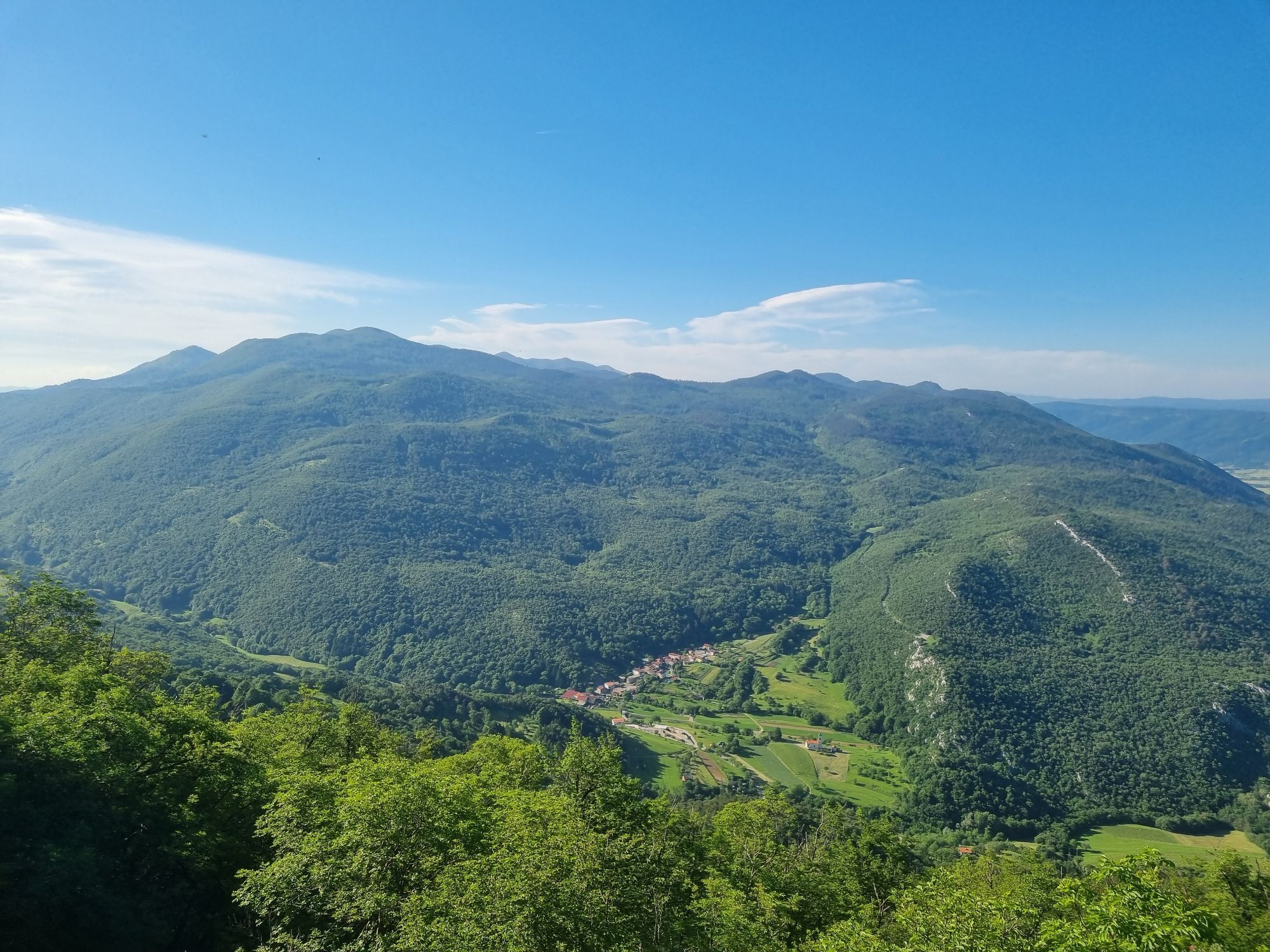
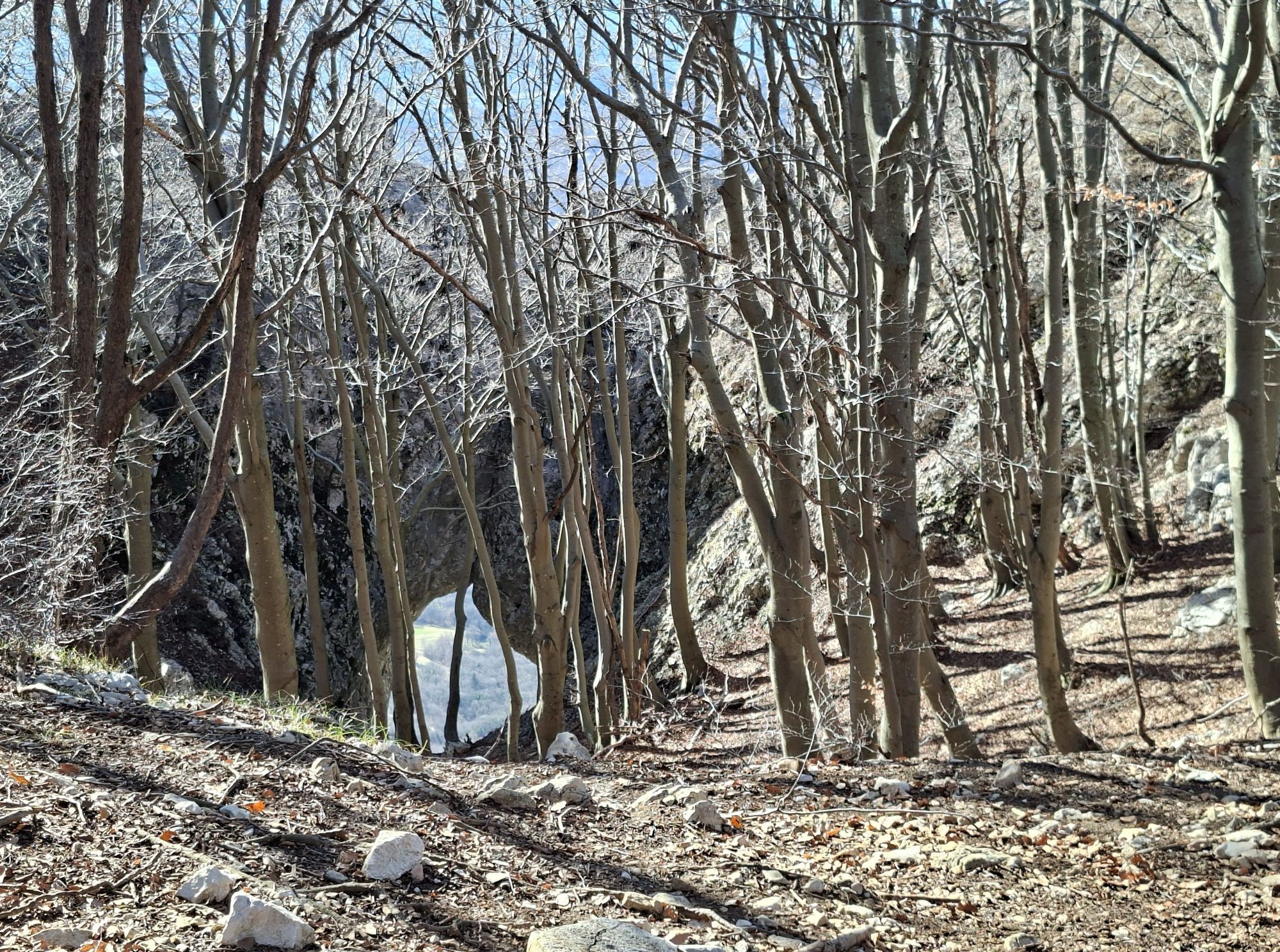
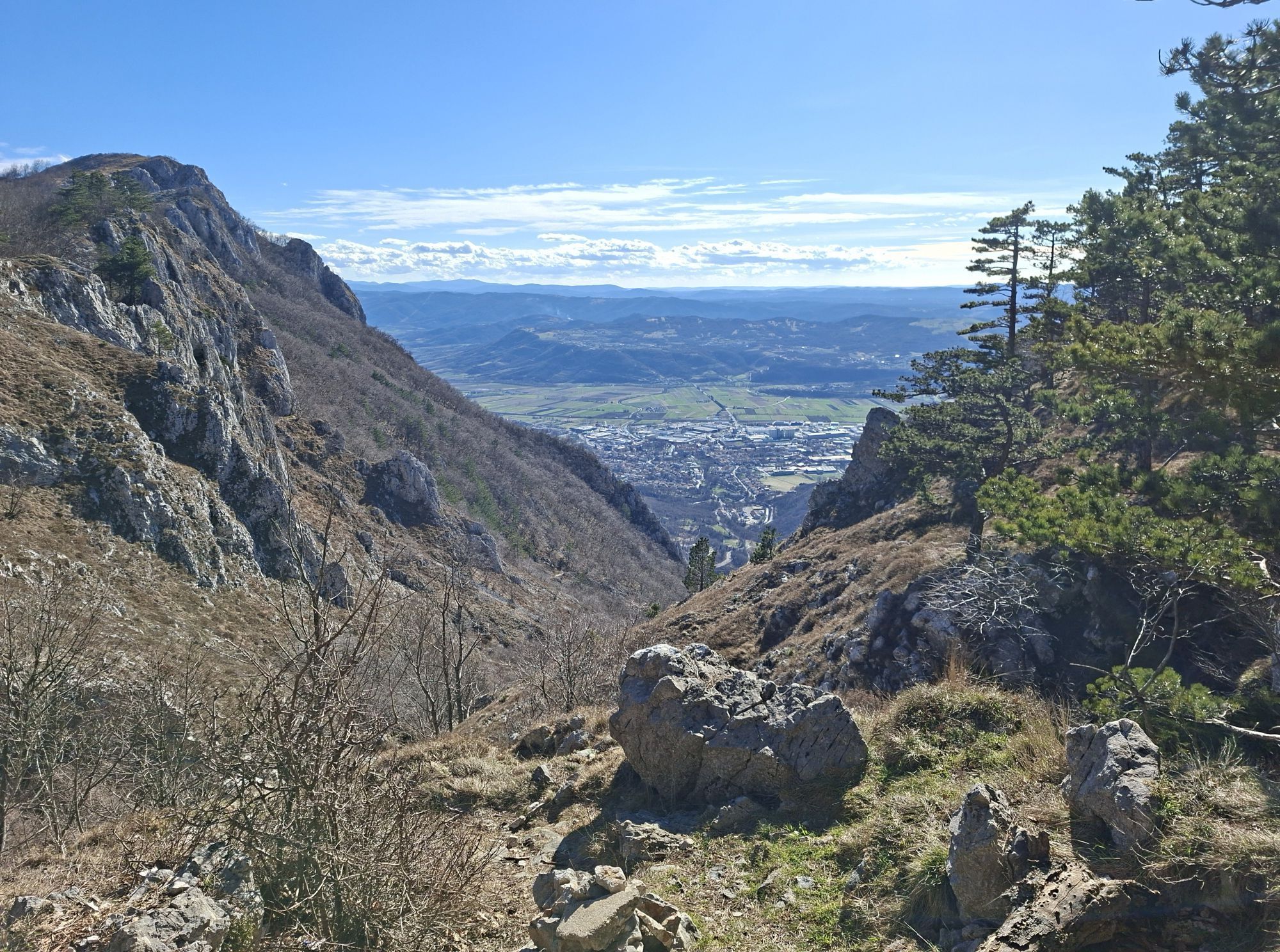
One of the most scenic hiking routes in the Vipava Valley runs along the edge of Gora, from where you can enjoy views of the Vipava Valley, across the Karst to the Gulf of Trieste and Piran Bay. Over rocky...
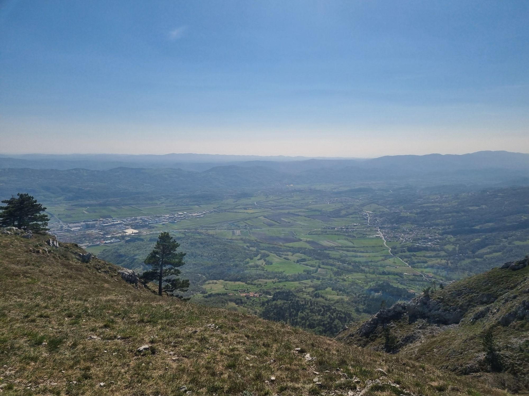
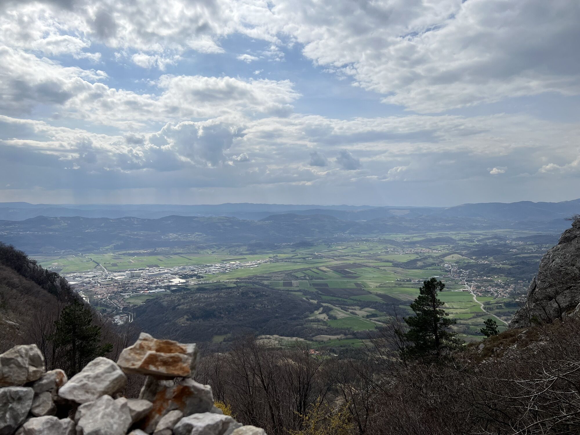
One of the most scenic hiking routes in the Vipava Valley runs along the edge of Gora, from where you can enjoy views of the Vipava Valley, across the Karst to the Gulf of Trieste and Piran Bay. Over rocky ridges and meadows, full of blooming plants in summer, the easy route winds from Predmeja to Col.

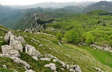
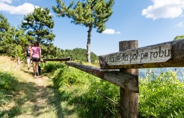
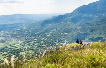
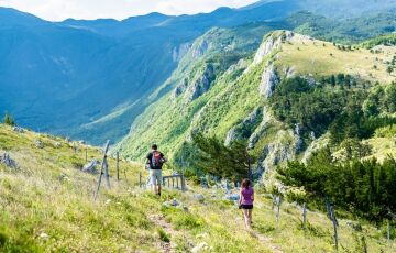

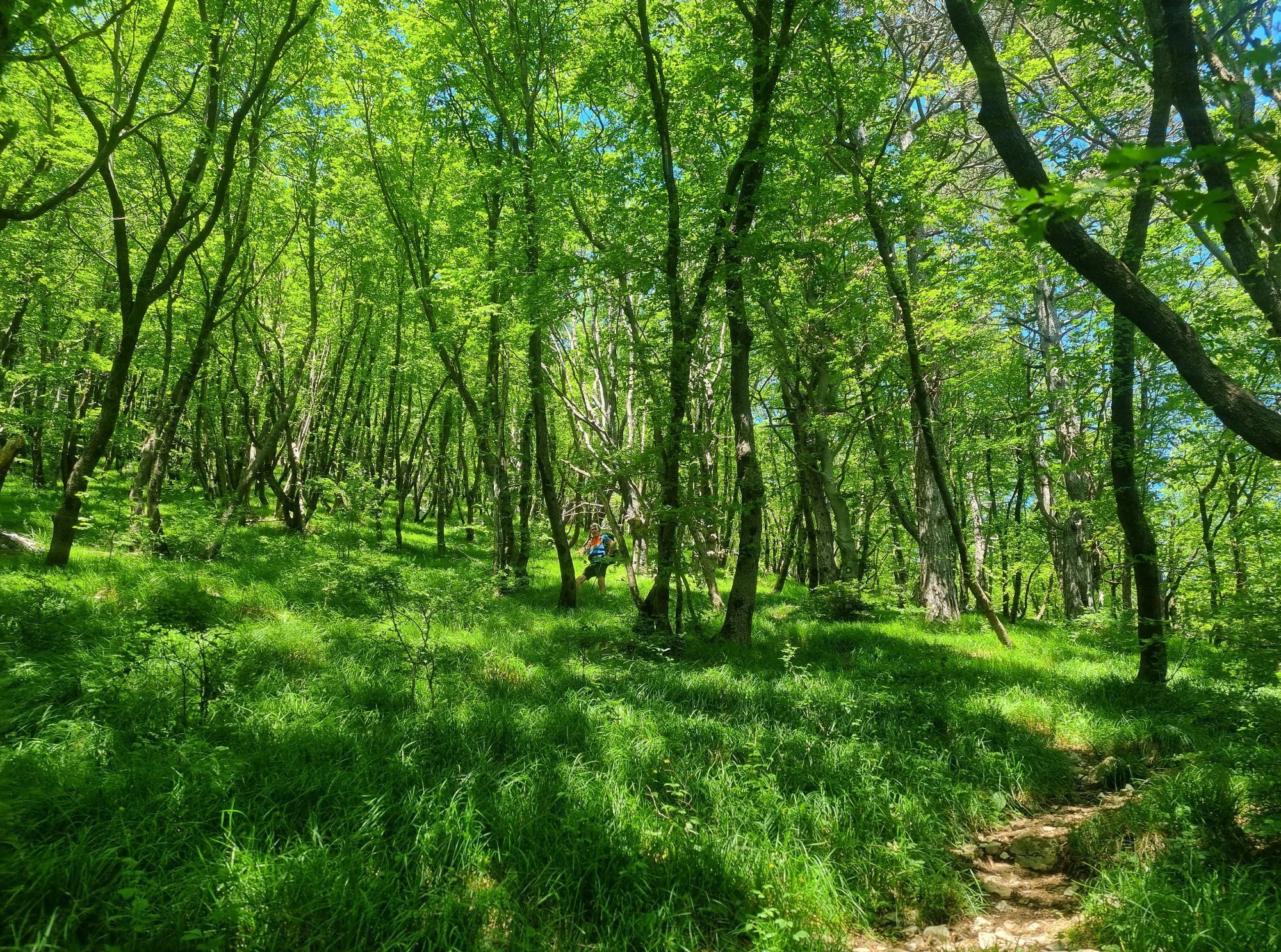
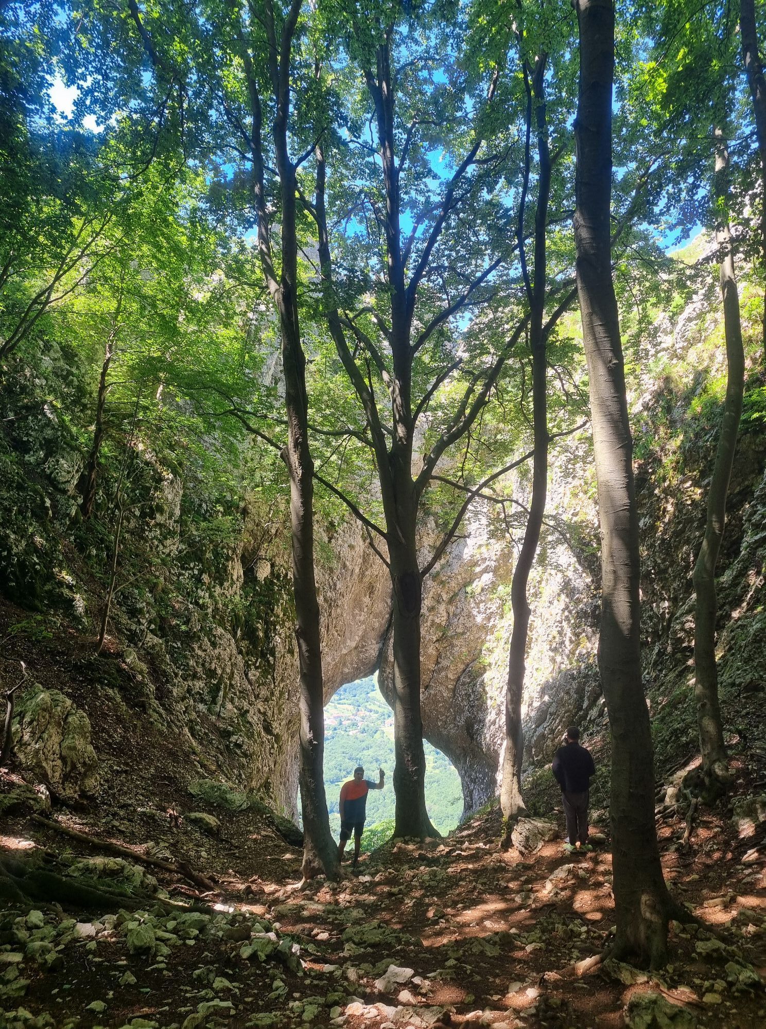
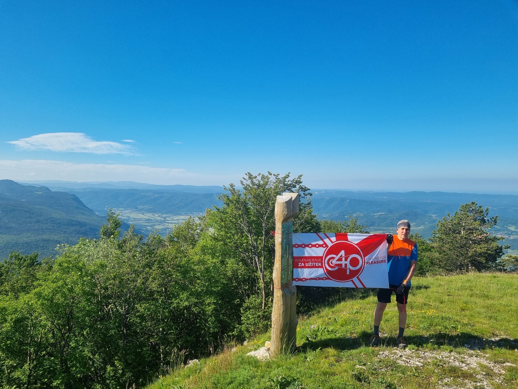
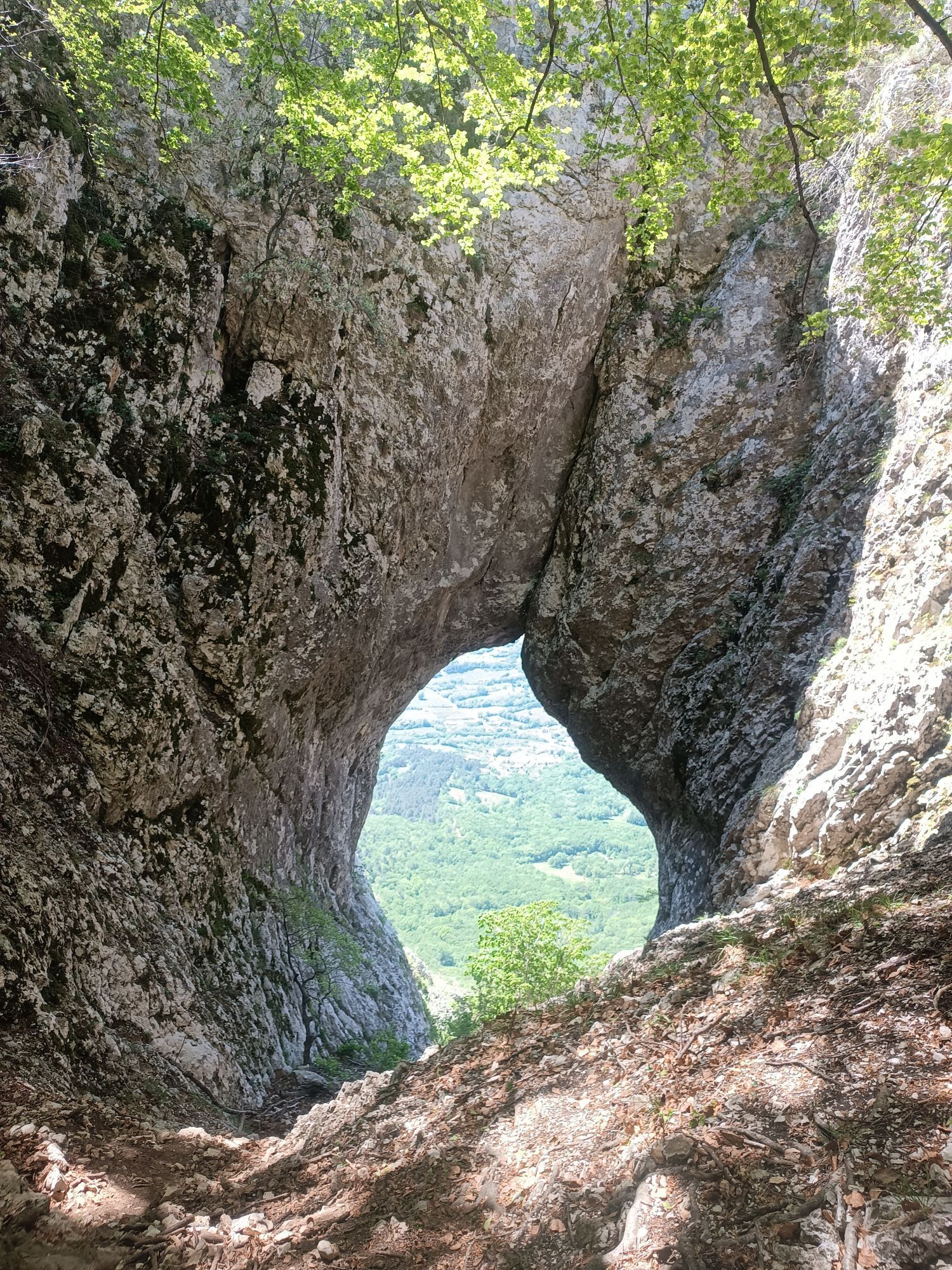
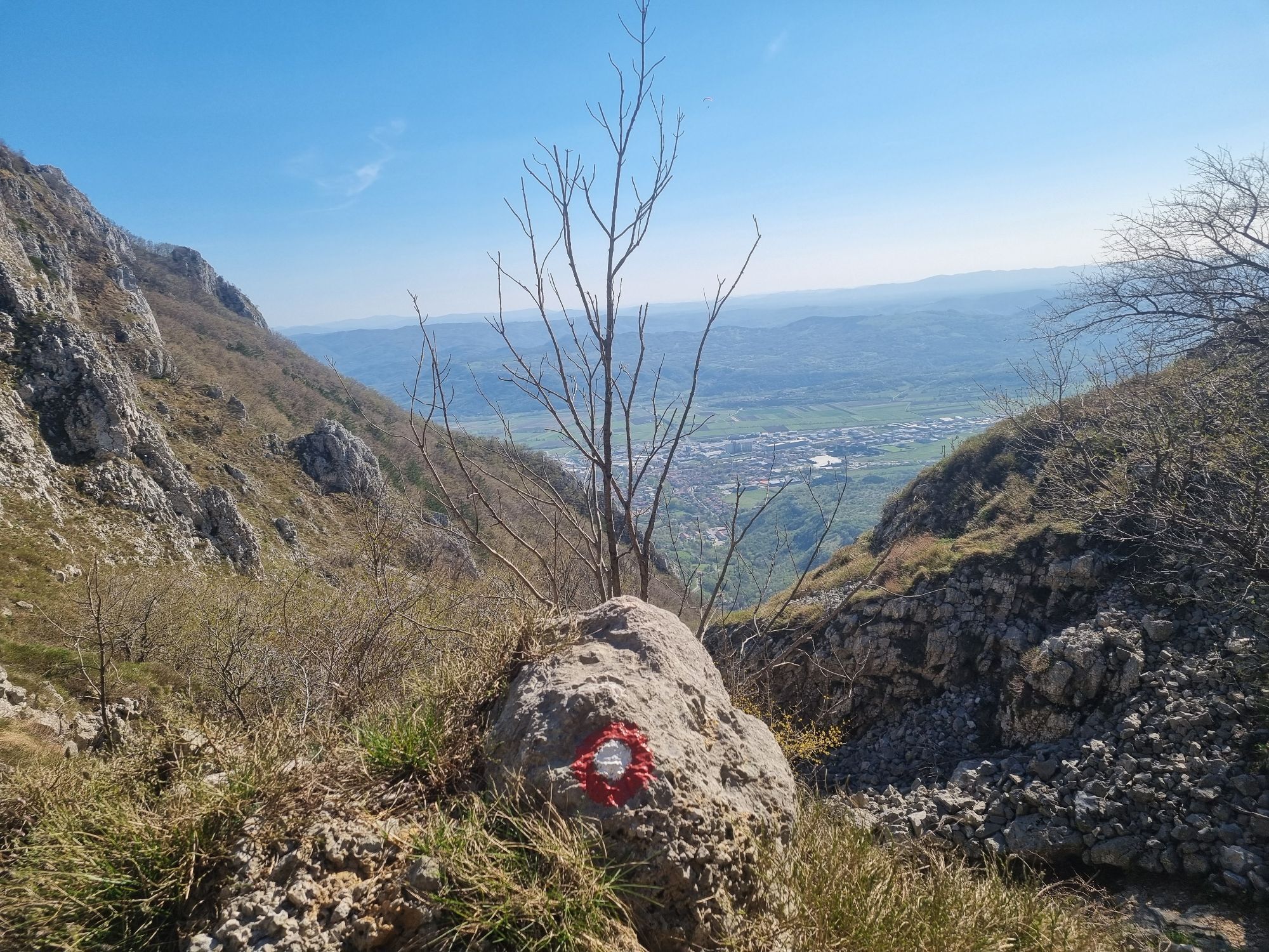
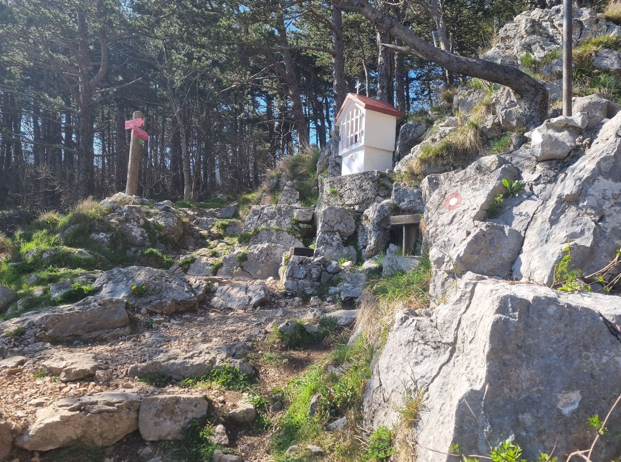
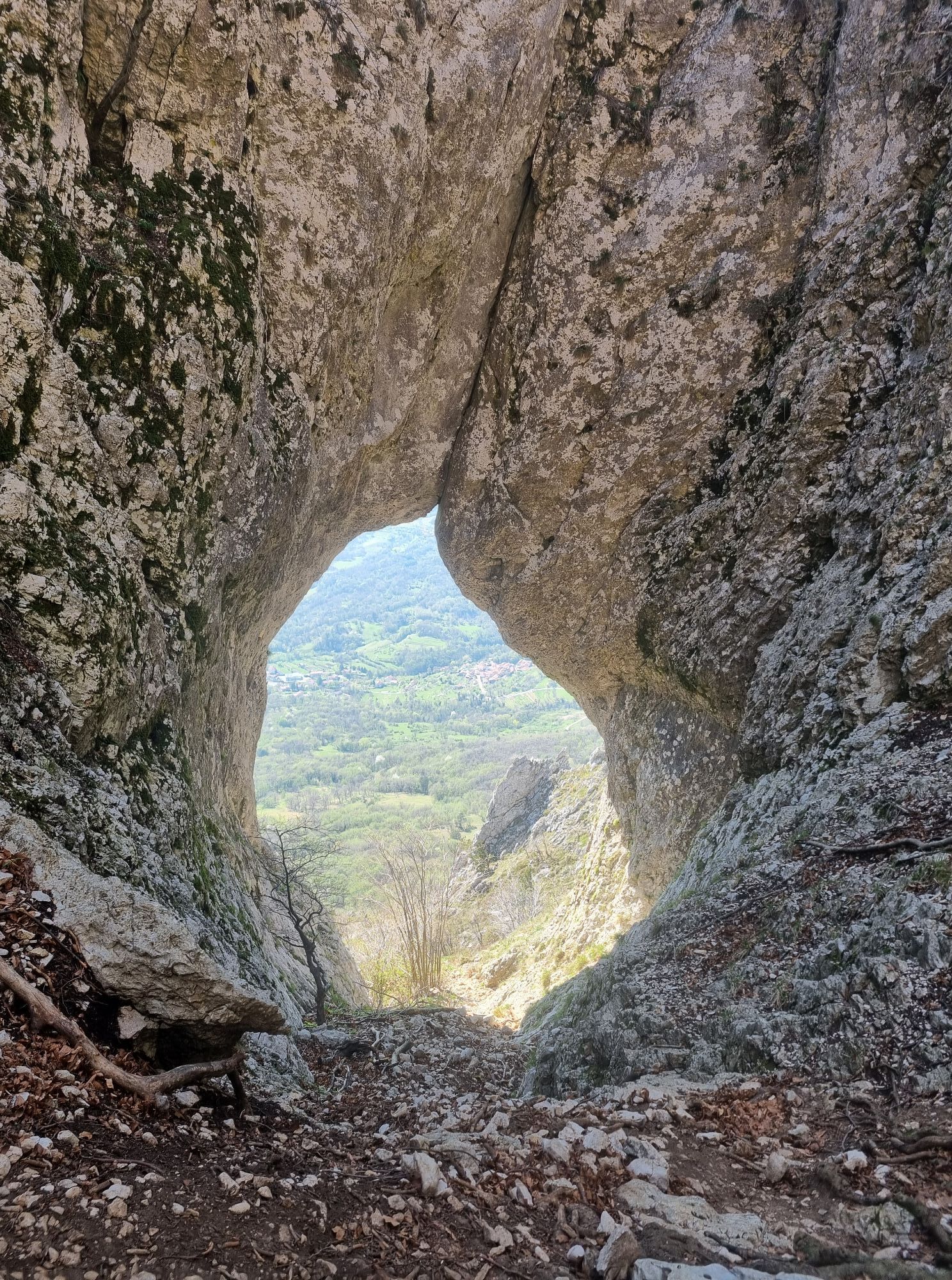
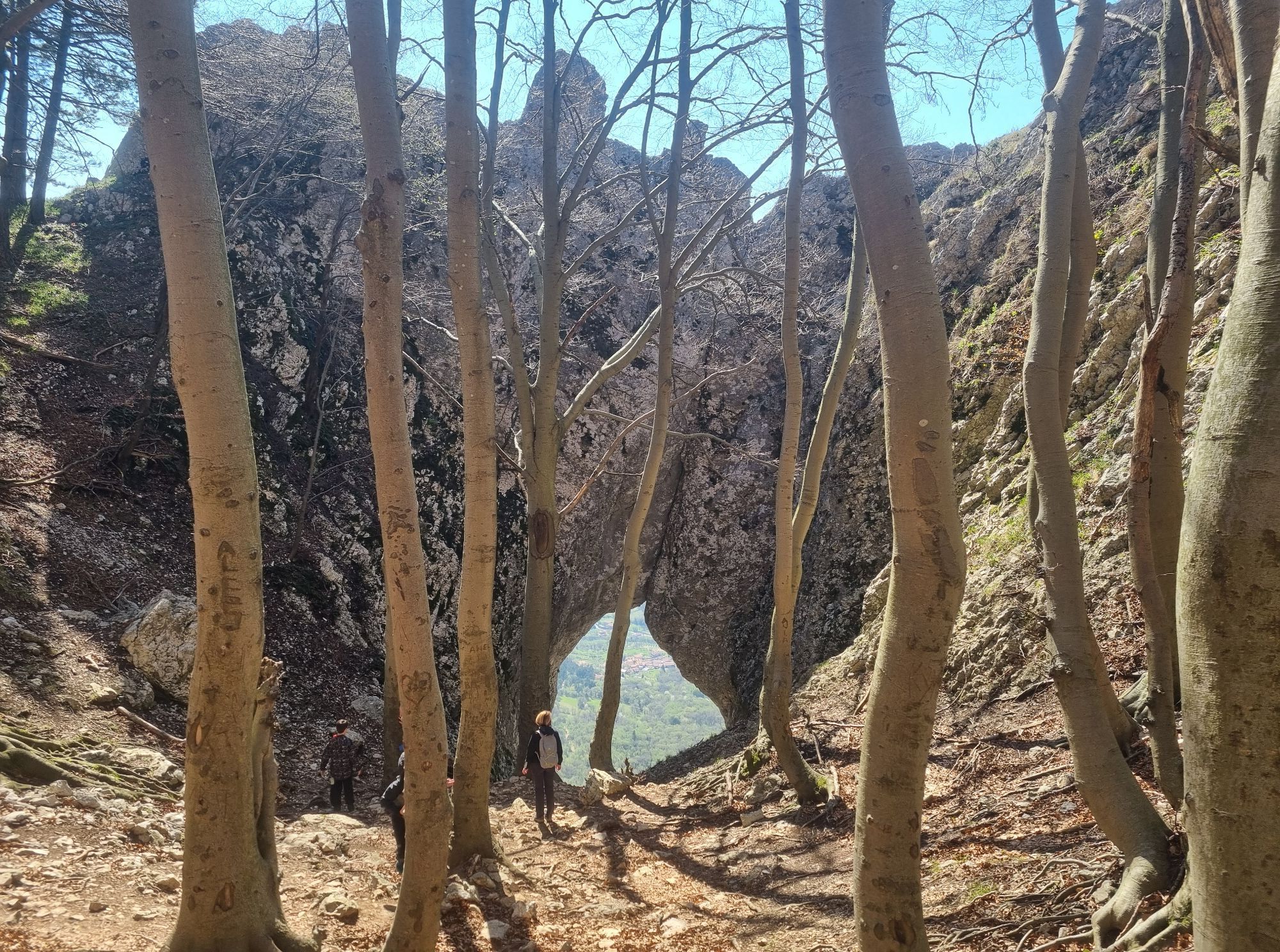
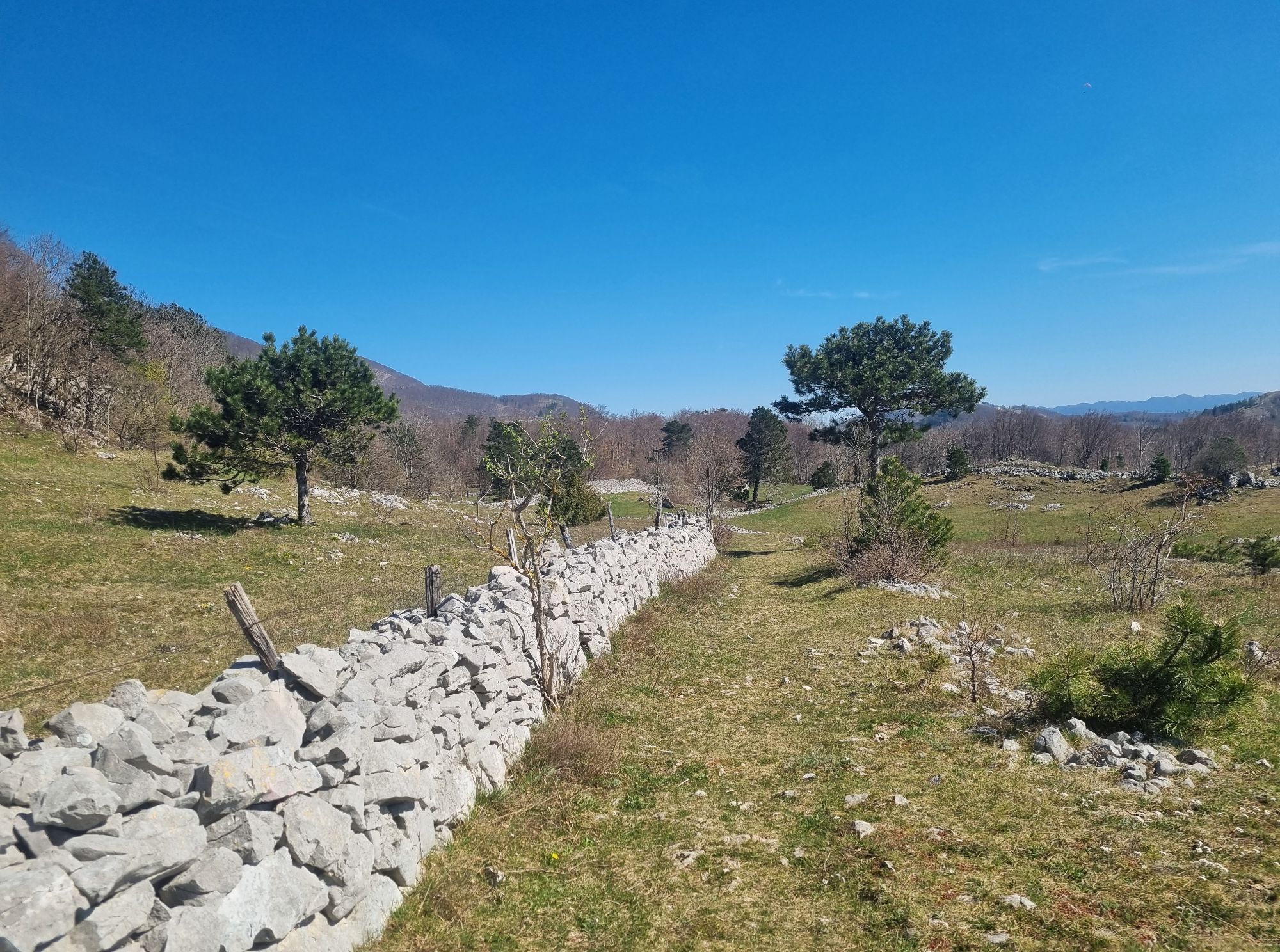
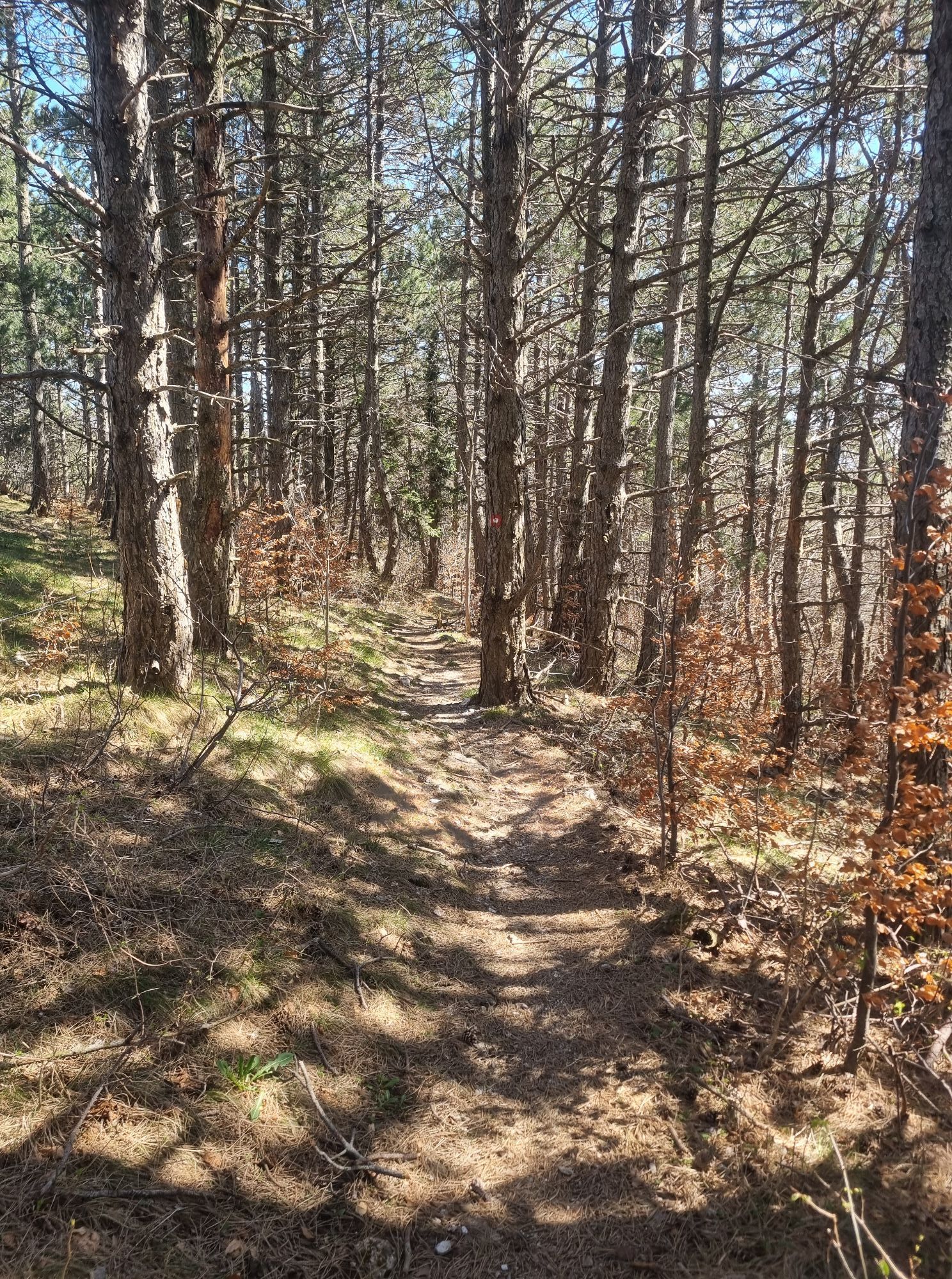
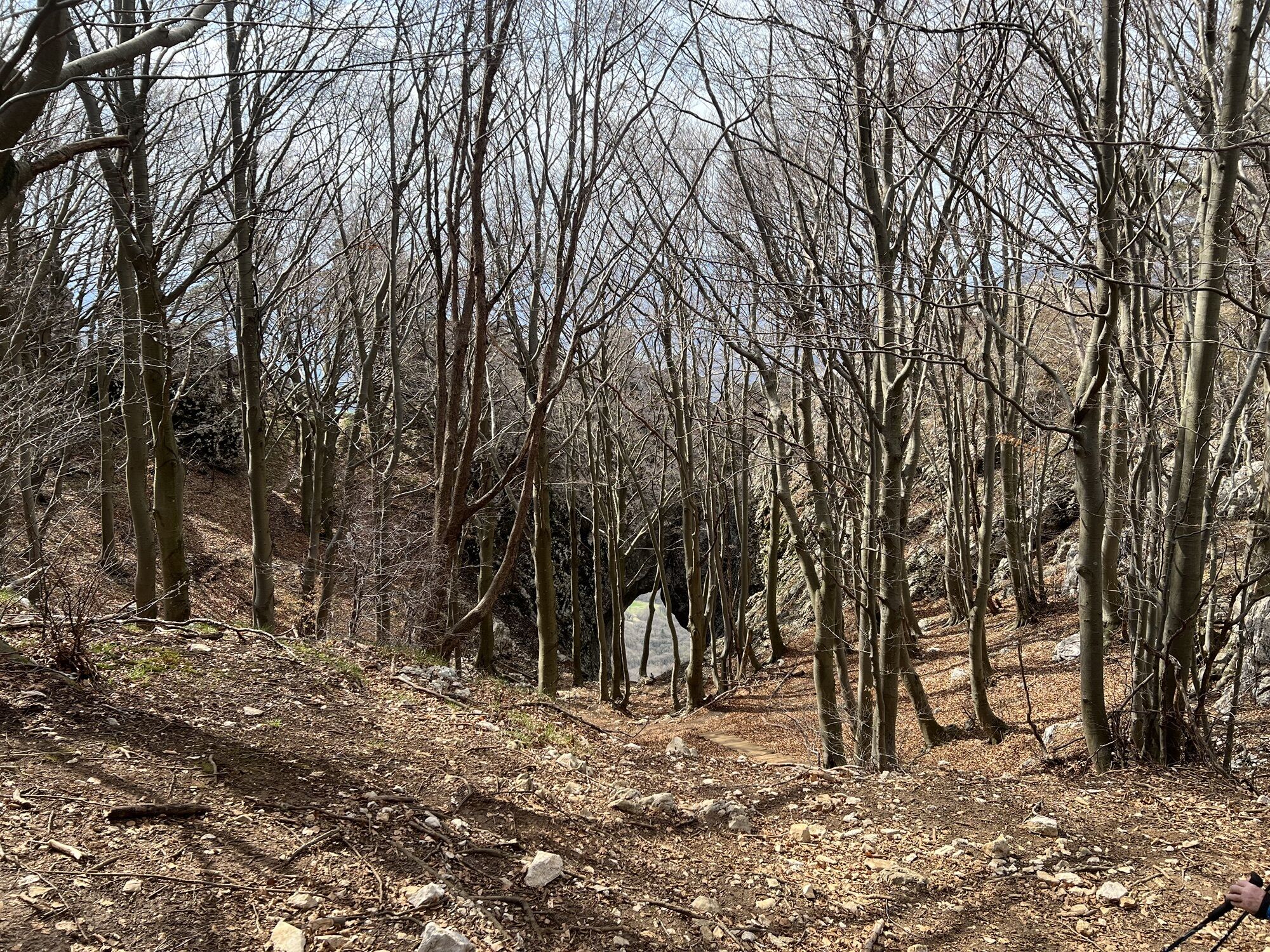
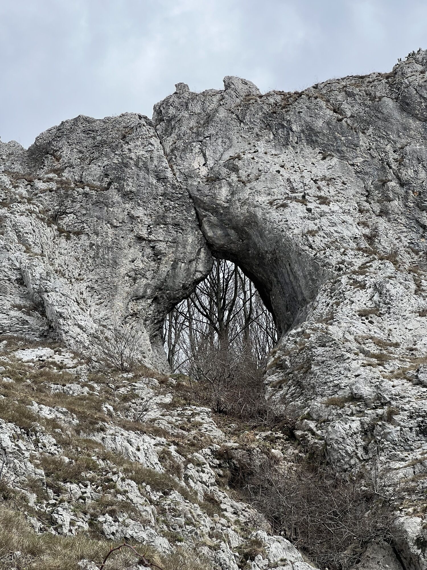
Right at the start of the route, you are greeted by a beautiful view of the upper Vipava Valley with AjdovšÄina in the foreground and Vipava and the Nanos Plateau in the background. The route begins at a viewpoint facing east, as indicated by a signpost. Through forests and grassy hay meadows, we slowly ascend and descend along a well-marked path. We follow markers indicating the Slovenian Mountain Trail, of which the Edge Route is a part. Soon we reach a higher peak (889 m), from which we slowly descend towards Orlovci, a high rocky cliff, next to which is one of the many paths down to the valley. From there, the path is a bit more difficult to follow. It stays on or just beside the edge of Gora, on meadows where cows graze throughout the year and which are fenced with an electric fence. The owners have well-prepared the crossings to the meadows so that we don't have to worry about the electric shock. We can return the kindness by closing the gates behind us. The path leads us to the top of Dolski Maj, where there is a viewing platform with a visitor’s logbook. From there, the well-marked path goes past Otliški Maj (847 m) towards Otliško Window. Just before Otliško Window, near a chapel, the path descends into the valley and leads us to the Hublje spring. A little further on, on your right, you can already see Otliško Window, a natural feature of the Karst spring, which you can reach by an unmarked path. From there, we follow a well-marked path towards Sinji Vrh along a grassy Karst edge past the summit of Navrše (857 m) to the power line AjdovšÄina – Trnovska Plateau, where it joins the Šturska Trail from AjdovšÄina. At the power line, we can turn towards Sinji Vrh, where there is a tourist farm (approx. 30 min), and from there descend to Podrta Gora. Alternatively, from the power line we can follow the marked path along the edge of Gora past Štorski Kal to the pillar with a cross on Podrta Gora. Under the cross near the chapel, another hiking path begins descending towards AjdovšÄina, which was once the main connection of the village Gozd with the valley. From Podrta Gora, we continue along the inner edge of the plateau towards Kovk. Soon, we reach a popular take-off site for paragliders and hang gliders just below the foot of Kovk. Markers guide us to the top of Kovk (961 m), the highest peak on the edge of the Trnovska Plateau between Predmeja and Col. Slightly below the summit, you can see defensive trenches dug by Austro-Hungarian soldiers as the third defensive line of the SoÄa Front in World War I. From the summit, we follow the marked path through forests and meadows on the northern slope of Veliki Greben to Mali Greben, where the path slowly widens into a dirt road. Soon after, we reach an asphalt road in the hamlet of ŽagoliÄ, from where it is just a few minutes to Col.
Áno
Hiking boots and hiking poles
No special requirements

Obľúbené výlety v okolí
-
4,0
Prírodné okno Otlica
strednáTuristika 10,5 km -
Gradiška Tura (via ferrata) – Abram
ťažkéVia ferrata 11,9 km -
Educational Trail along the River Hubelj
svetloTuristika 3,79 km -
2,0
The Upper Vipava Valley
svetloCyklistika 34,2 km -
On Vertovec's paths
svetloTuristika 17,7 km -
5,0
Vipava - Oltar - Gradiška Tura
strednáTuristika 3,85 km -
Skrlanka Circular Route
svetloTuristika 5,75 km -
Vitovlje circular hiking trail
strednáTuristika 7,80 km -
The Predmeja Hill and the Gora Plateau
ťažkéCestný bicykel 36,3 km -
Chodník pri rieke Vipava
Turistika 48,4 km
Turistika a stopovanie


Nenechajte si ujsť ponuky a inšpiráciu na ďalšiu dovolenku
Vaša e-mailová adresa bol pridaný do poštového zoznamu.





