







Battlefield route of August 6, 1870
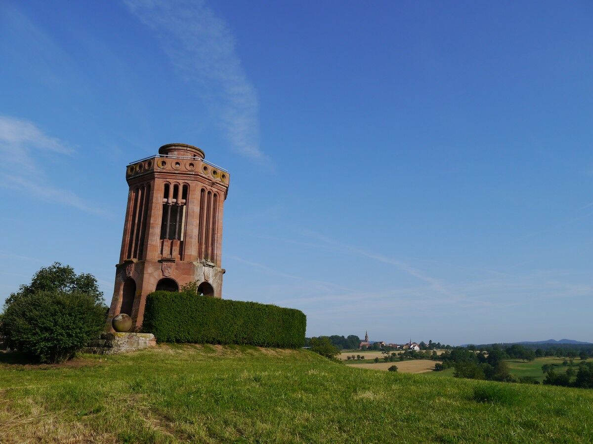
Marked by monuments erected in memory of the combatants and viewpoints, it crosses fields, orchards and forest, as well as the villages of Froeschwiller and Woerth.

red ring
Detailed route
Áno
Clothing suitable for the season and conditions (cold, hot, wet...)
Hiking shoes adapted to the terrain (even for children!)
Telescopic poles (useful for stability and relieving joints)
Mobile phone and spare battery if needed
Check the general and local weather ensuring no precipitation. Get information about the approach walk, itinerary elevation, duration, possible escape routes (IGN map, GPS, guidebook, etc.)
Assess possible risks by consulting mountain professionals, refuge, lodges
Inform a close person of your objective and contact them in case of change: departure and return times, number of participants with each person’s phone number, vehicle(s), parking
Avoid going alone, use equipment suited to the activity, adjusted and in good condition, headlamp, complete first aid kit, survival blanket, etc.
In case of emergency, call 112
ALSACE VERTE TOURIST OFFICE
2 route de Bitche
Information office of Lembach
67510 Lembach
Tel: 03 88 86 71 45
Obľúbené výlety v okolí
-
4,8
Wasigenstein und Zigeunerfelsen von Obersteinbach
Turistika 10,6 km -
4,5
Northern Vosges - Circuit of the 4 castles
strednáTuristika 6,49 km -
4,5
Ascent of the Grand Wintersberg
strednáTuristika 13,0 km -
5,0
4 Burgen Tour Nothweiler
strednáTuristika 9,52 km -
5,0
Crossing of the Vosges Massif - Stage 03 - Niederbronn-les-Bains - Lichtenberg
strednádiaľková pešia trasa 19,0 km -
Crossing of the Vosges Mountains - Stage 01 - Wissembourg / Obersteinbach
strednádiaľková pešia trasa 29,6 km -
Hiking route to the castles of Windstein
ťažkéTuristika 20,6 km -
Excellence trail 3: Around the castles of Waldeck and Falkenstein
strednáTuristika 13,2 km -
Crossing of the Vosges Mountains - Stage 02 - Obersteinbach - Niederbronn-les-Bains
strednádiaľková pešia trasa 18,9 km -
Hiking route to the castles of Schoeneck and Wineck
svetloTuristika 5,06 km
Turistika a stopovanie


Nenechajte si ujsť ponuky a inšpiráciu na ďalšiu dovolenku
Vaša e-mailová adresa bol pridaný do poštového zoznamu.





