







Trai(l)s Vals – 2nd stage: Scuol – Piz Clünas – Scuol

Úroveň náročnosti: S3
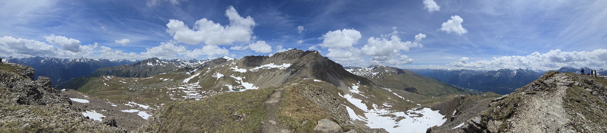
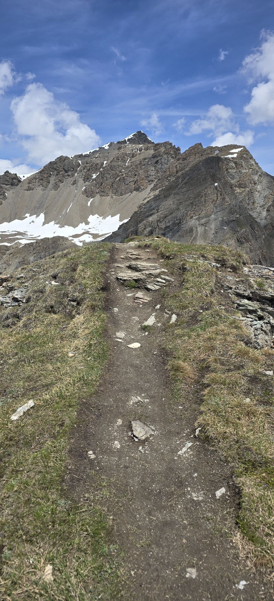
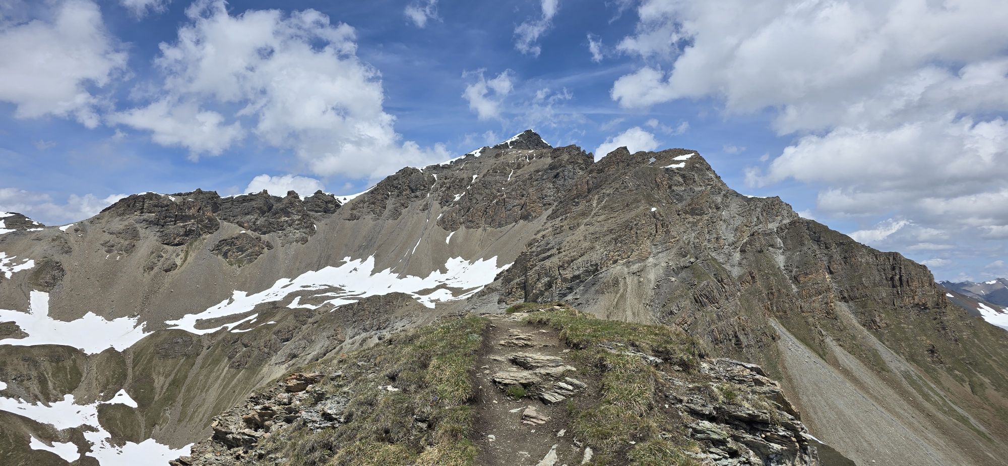
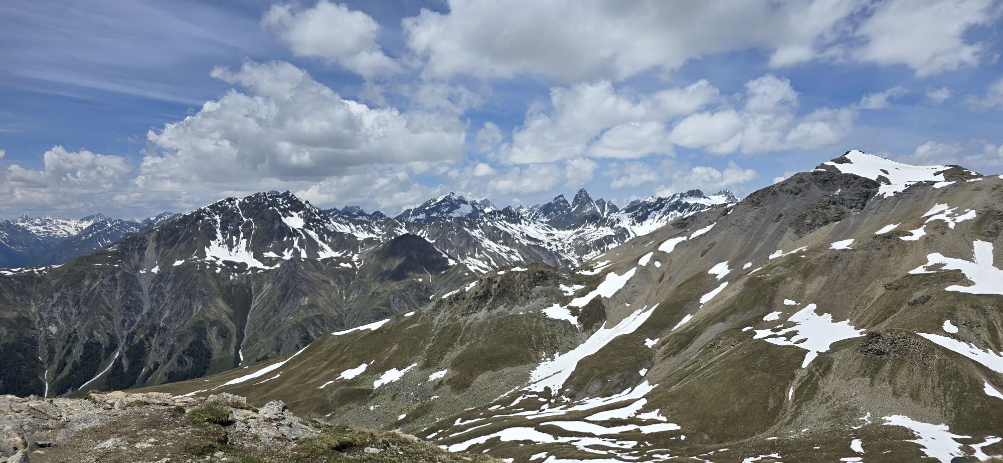
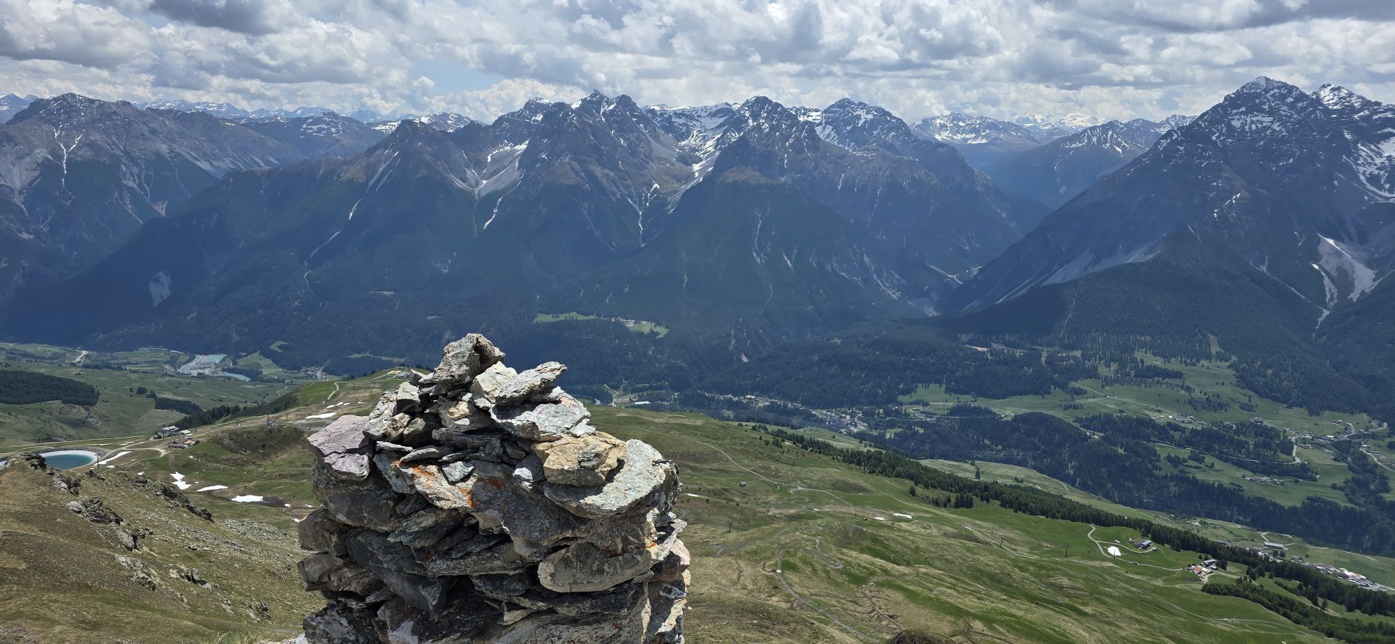
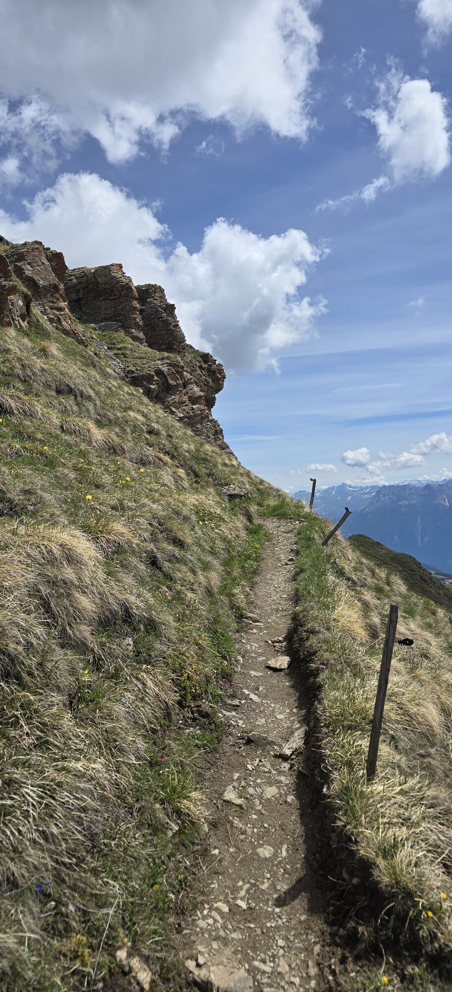
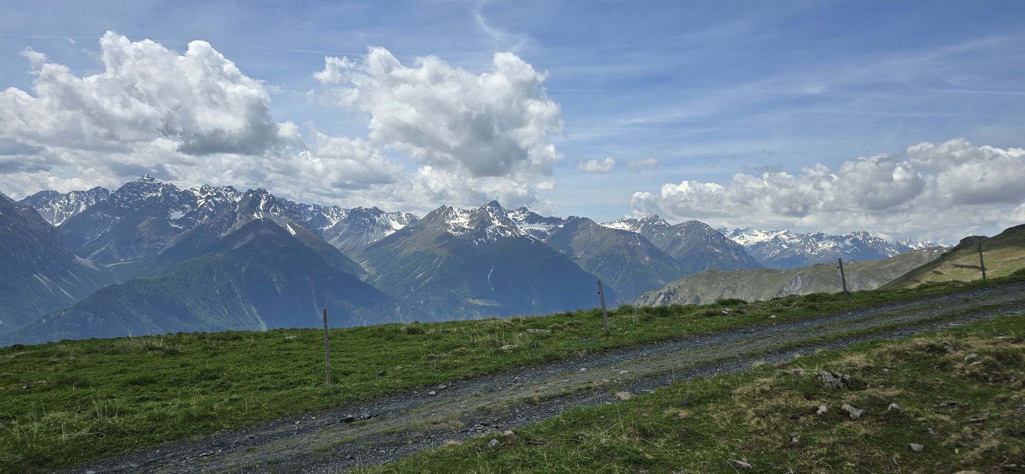
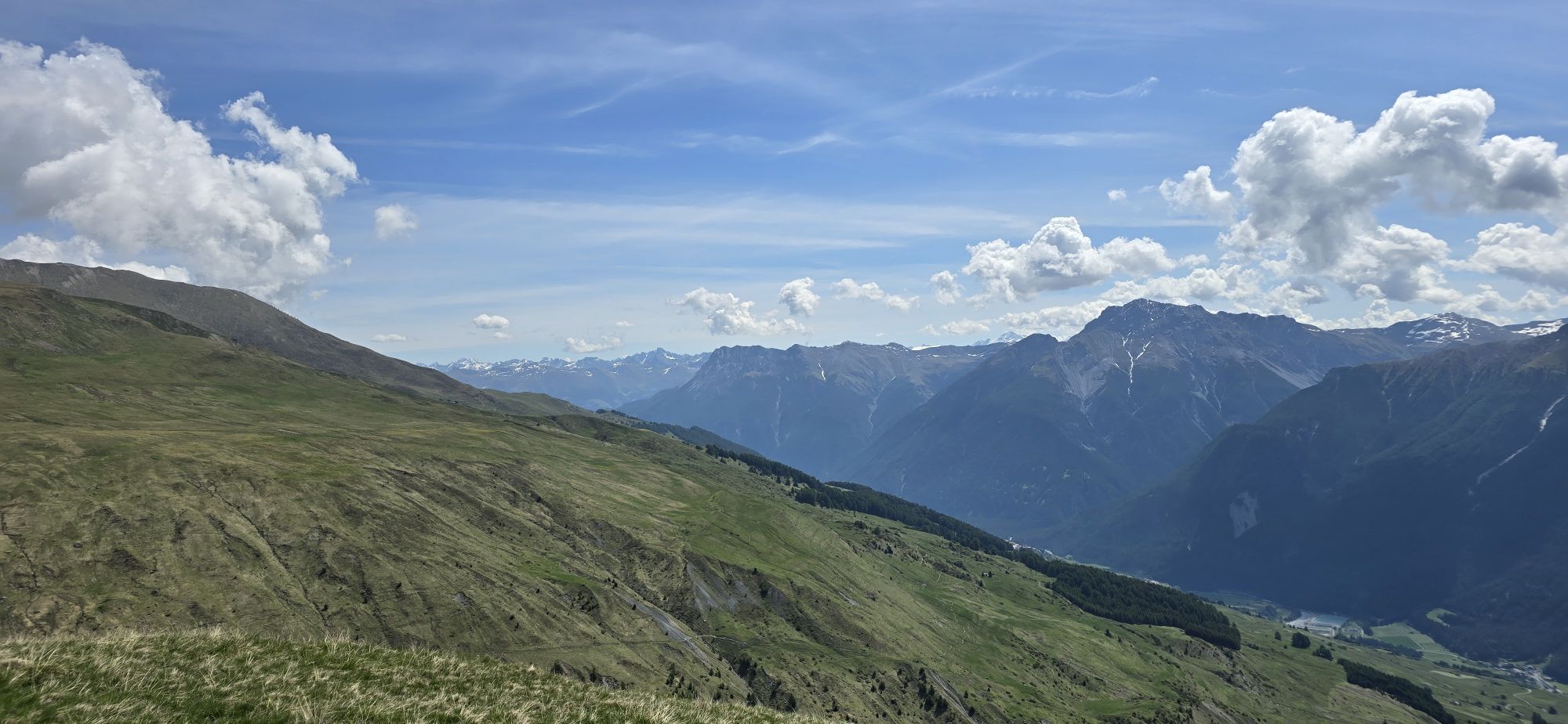
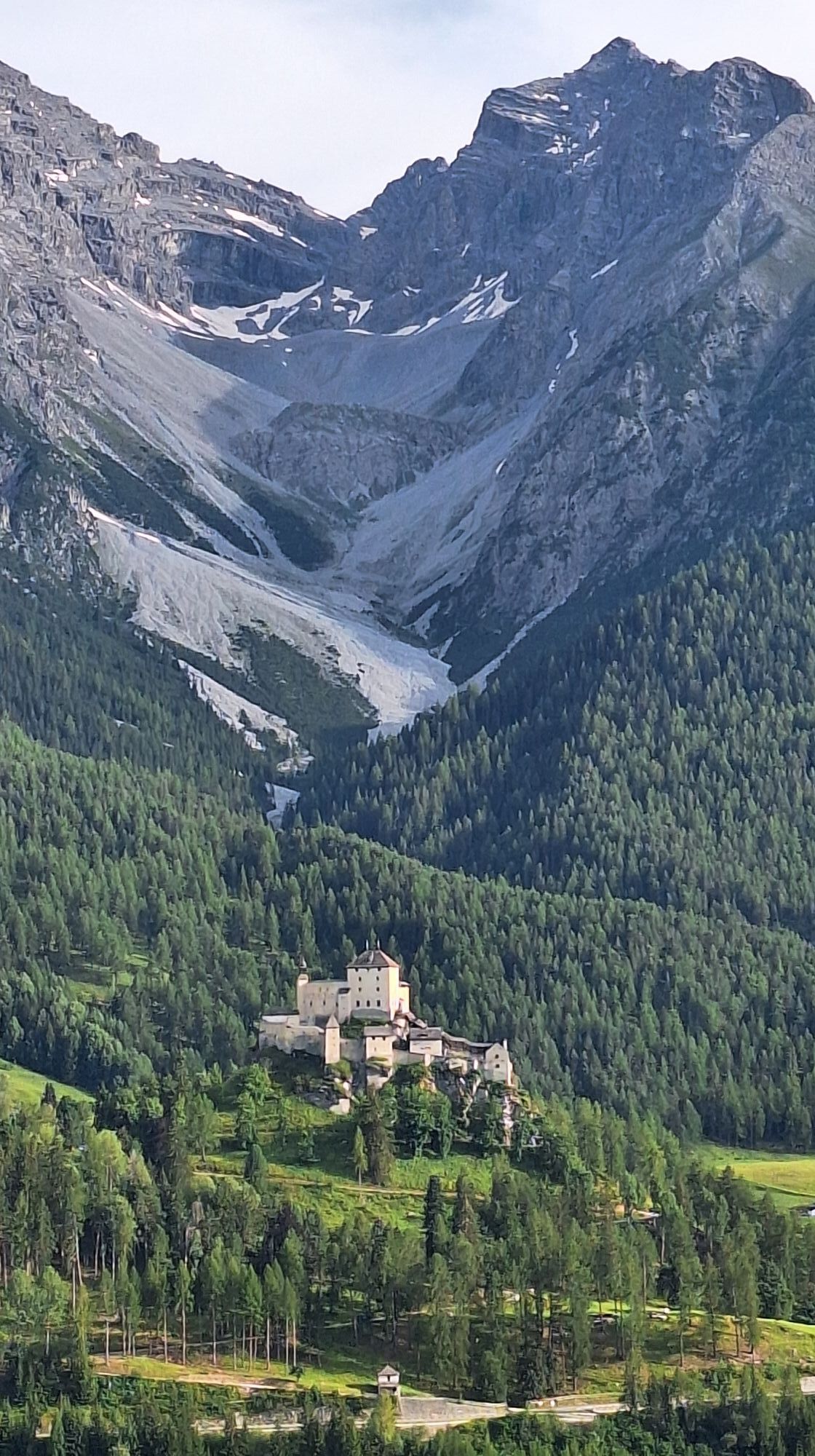
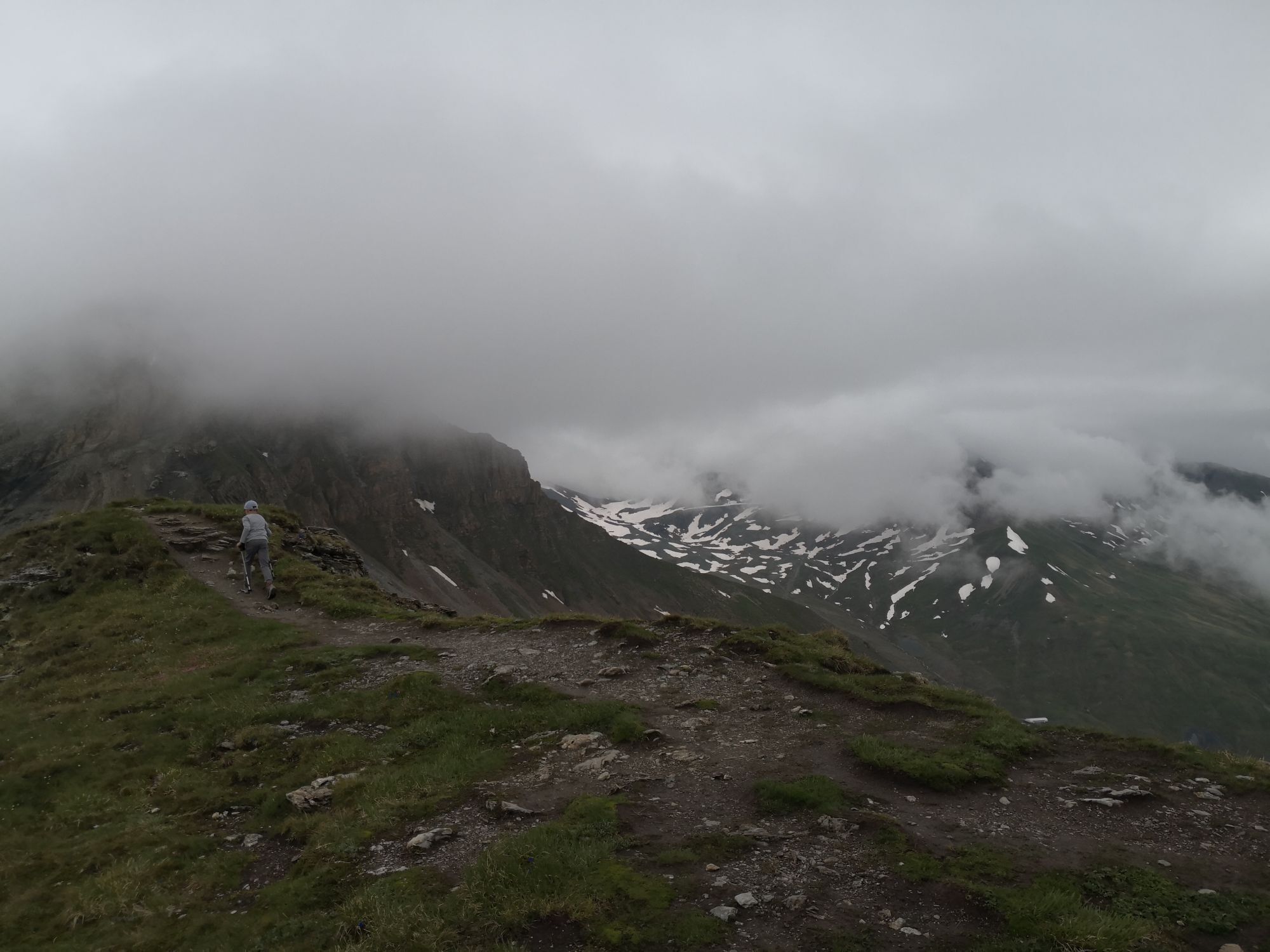
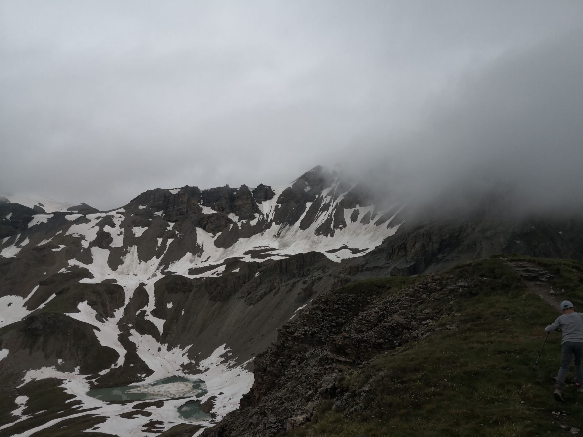
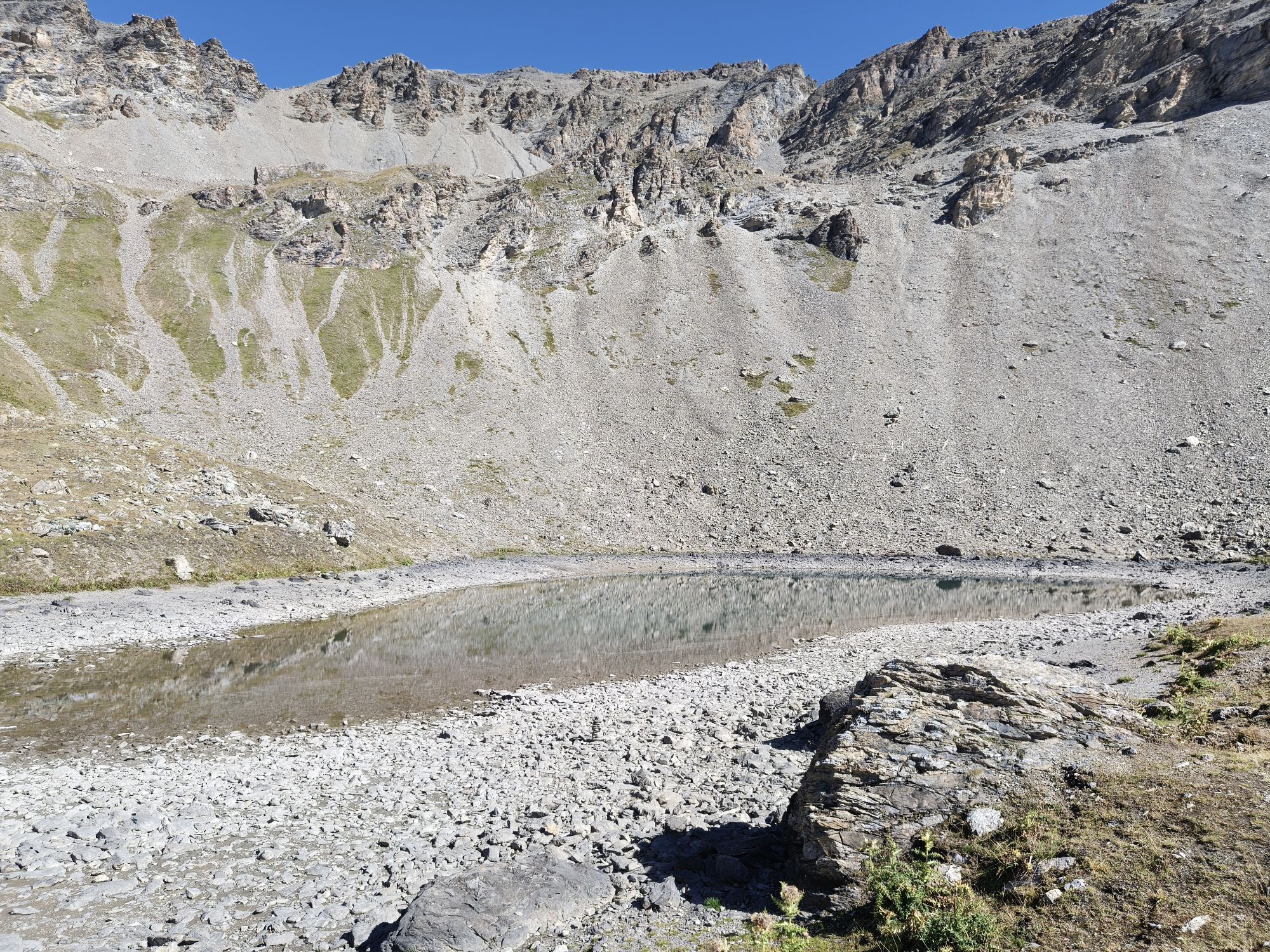
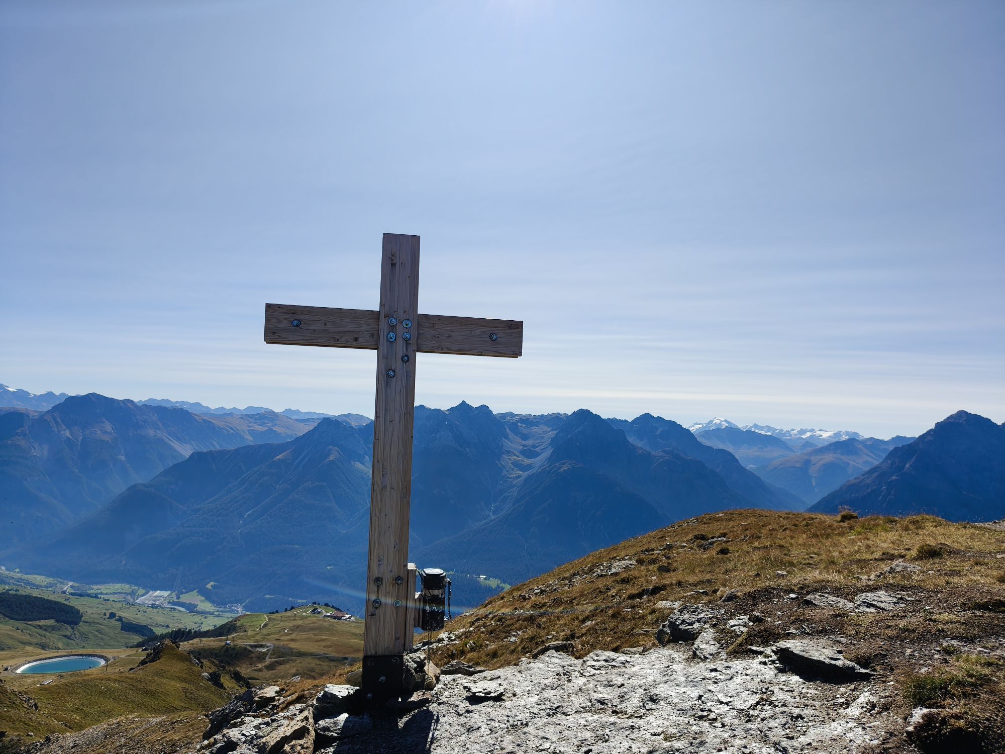
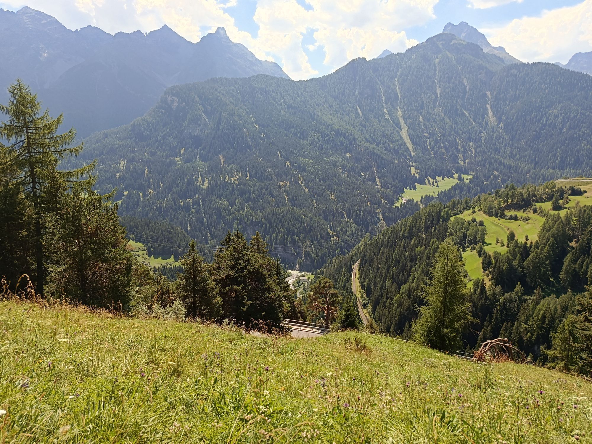
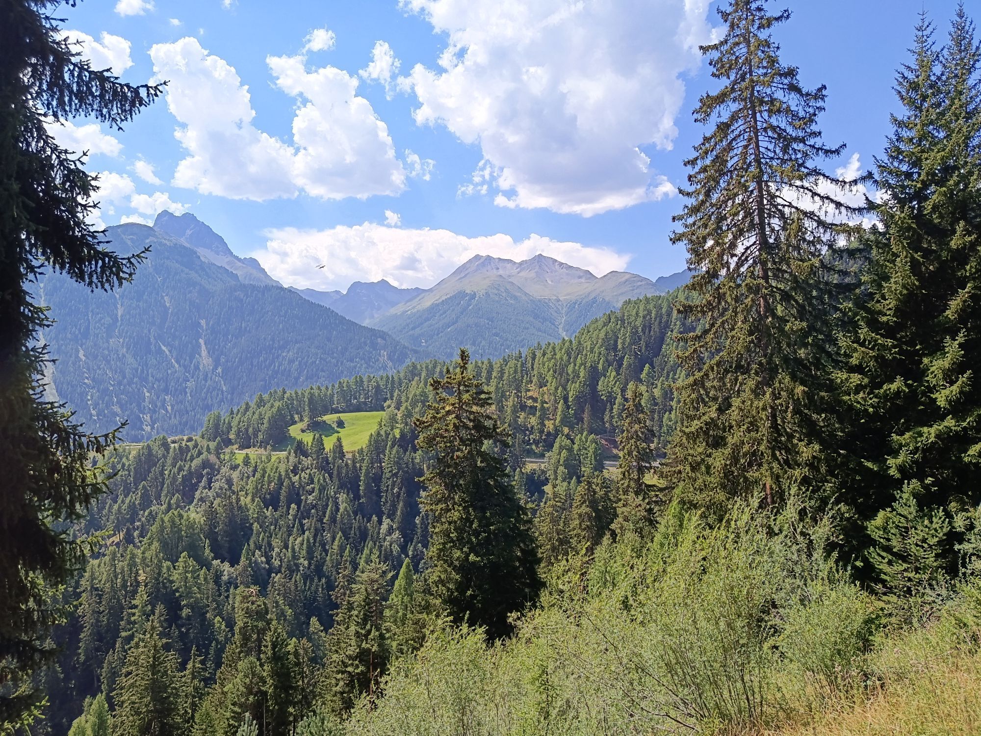
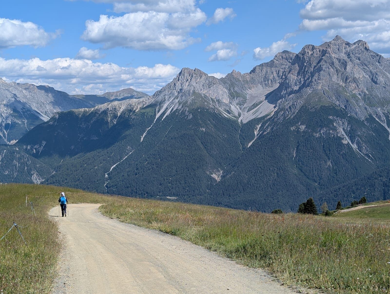
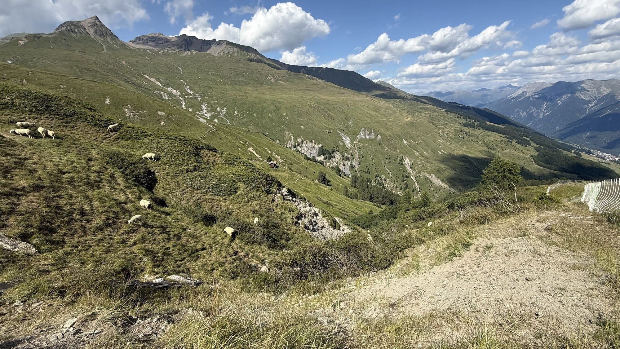
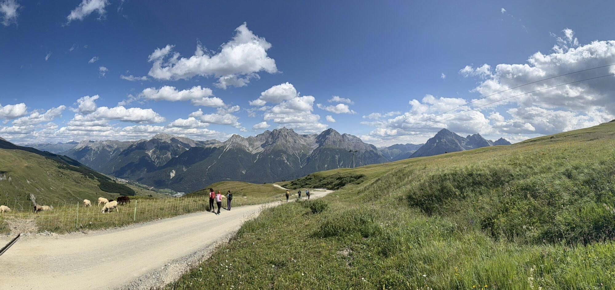
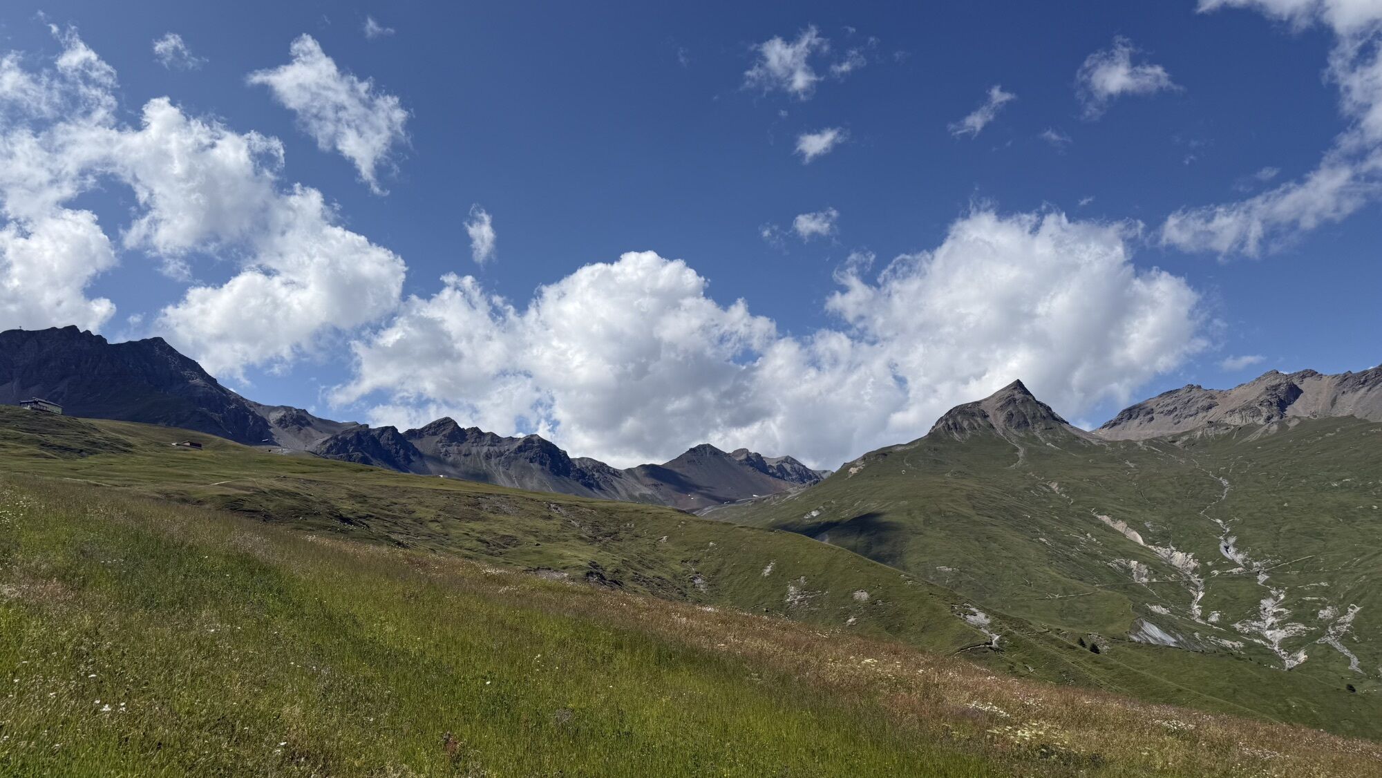
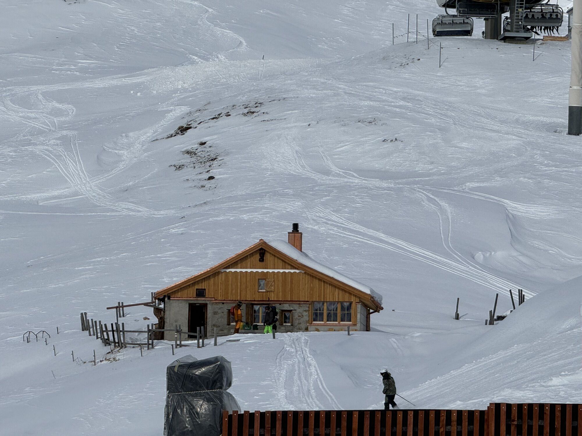
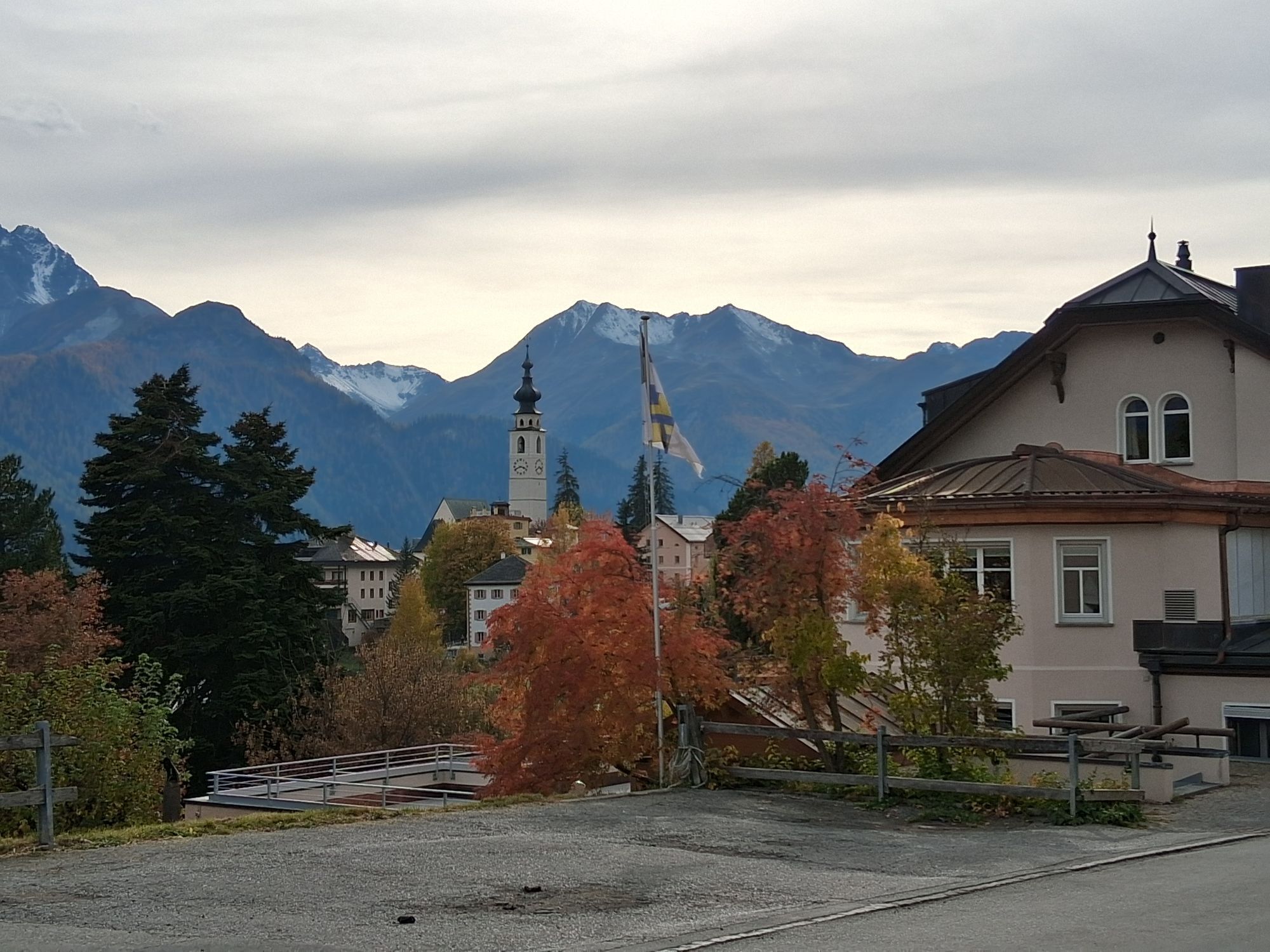
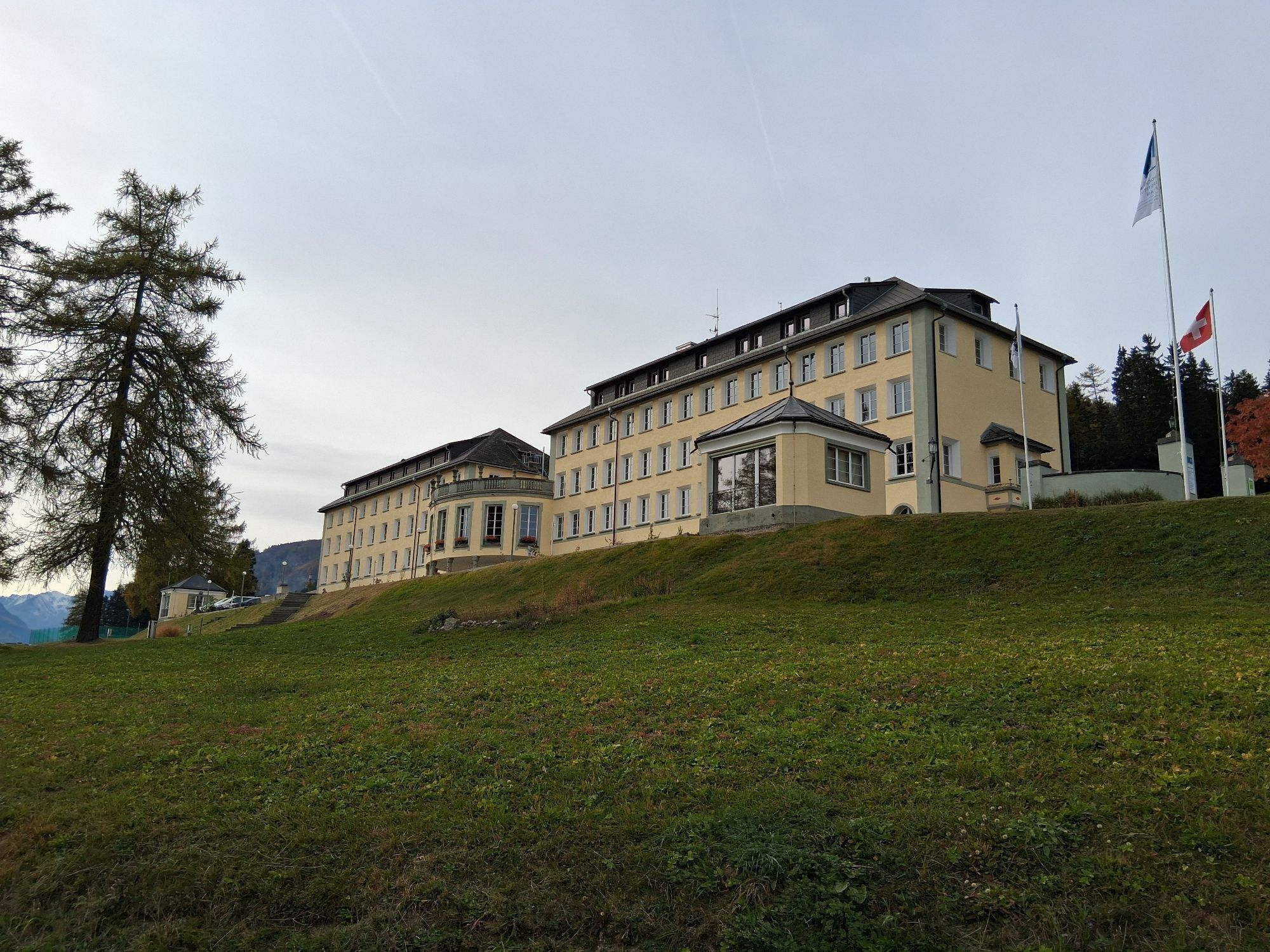
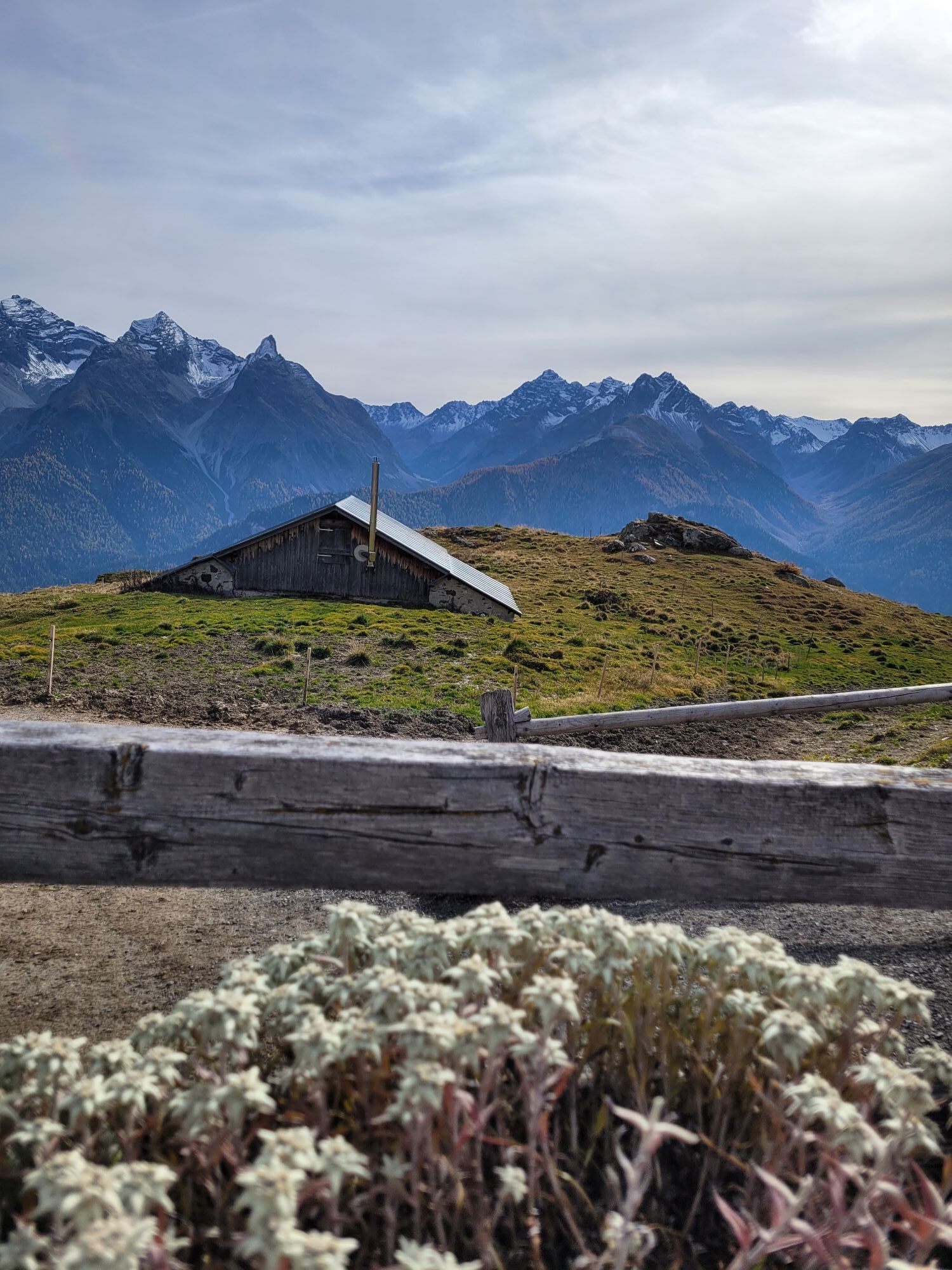
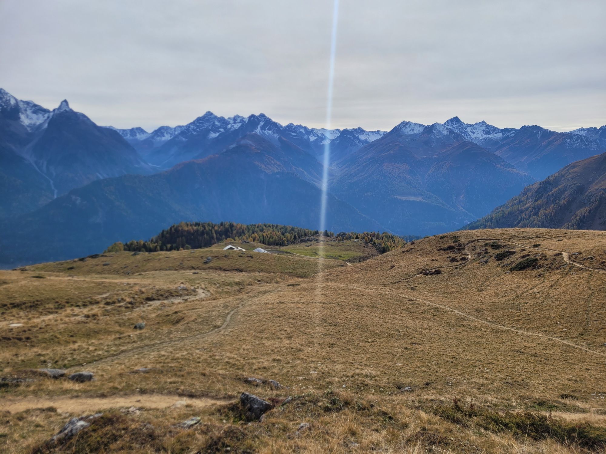
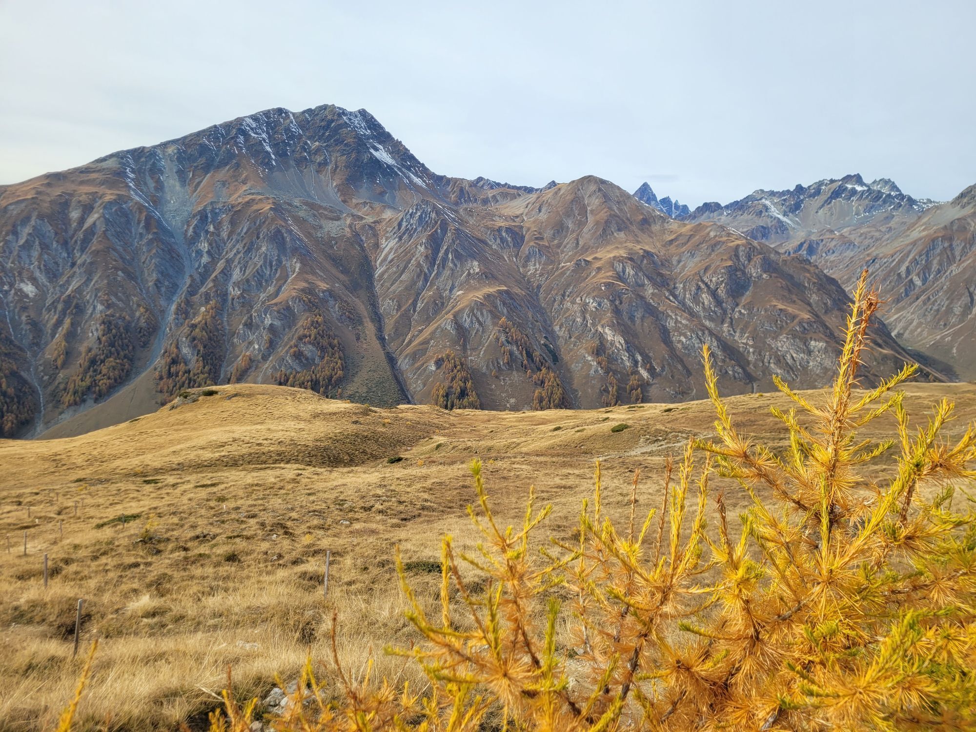
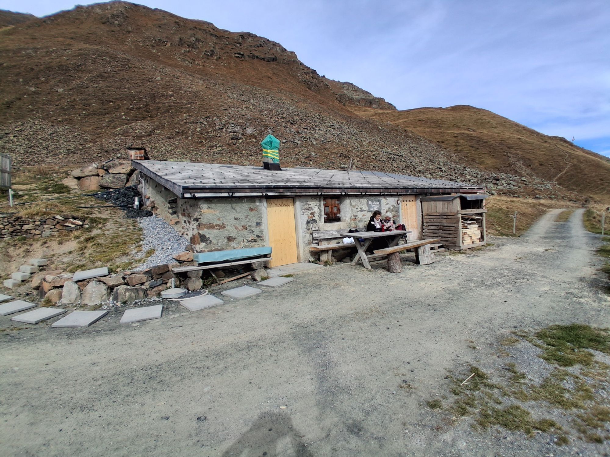
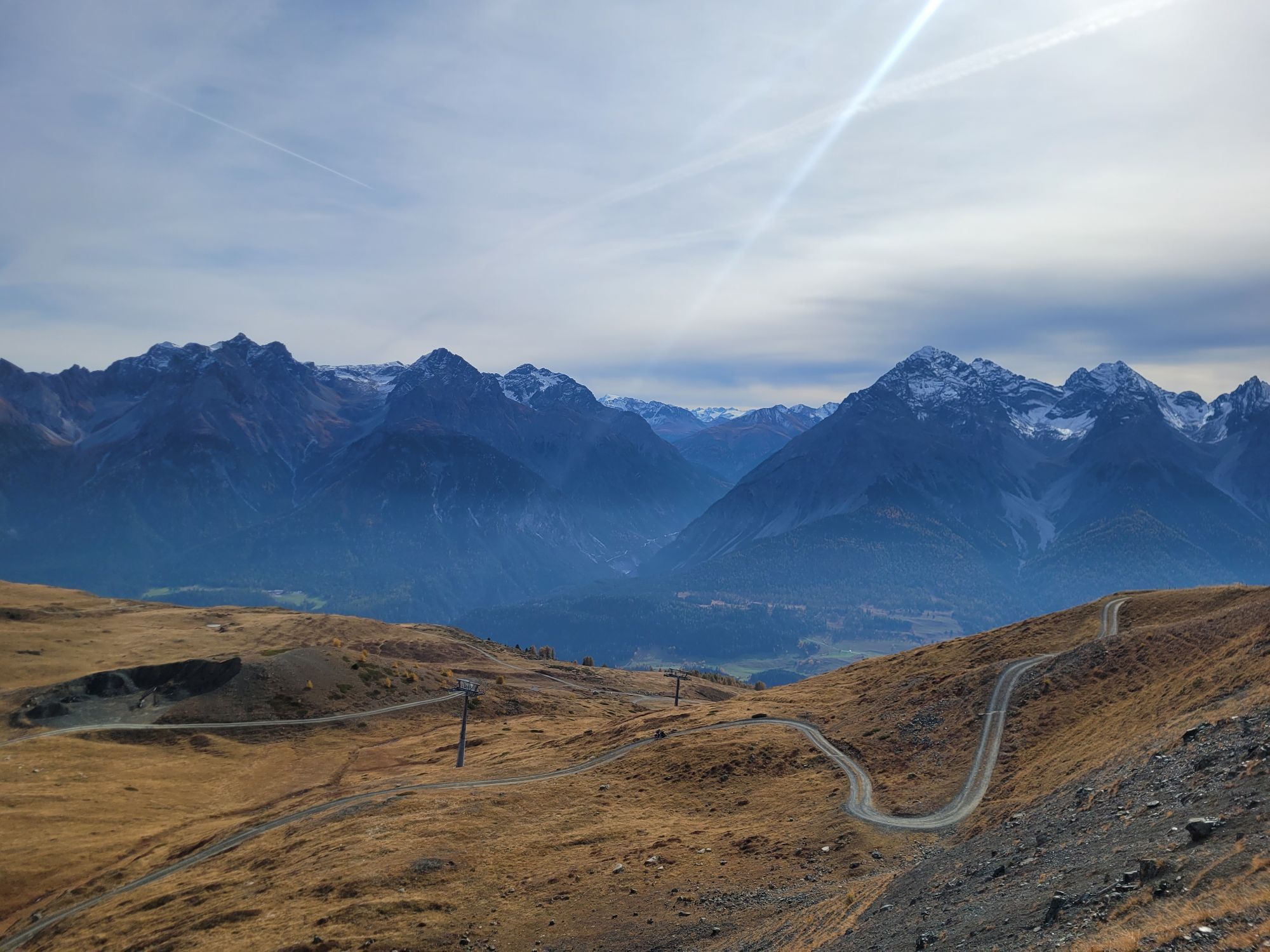
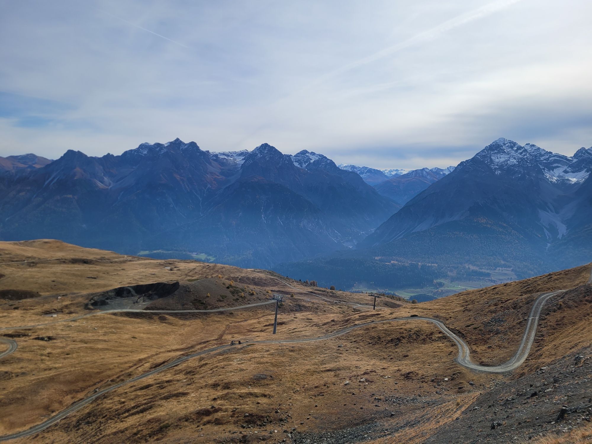
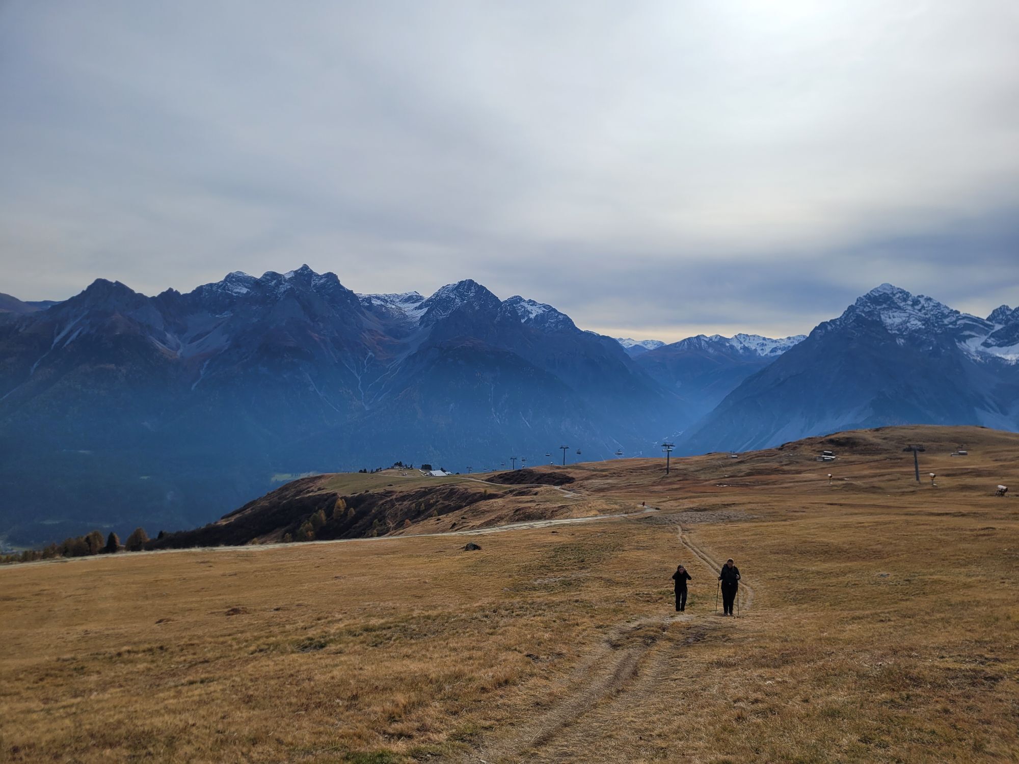
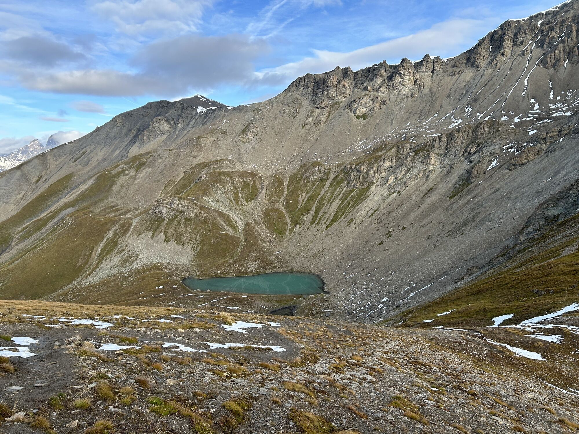
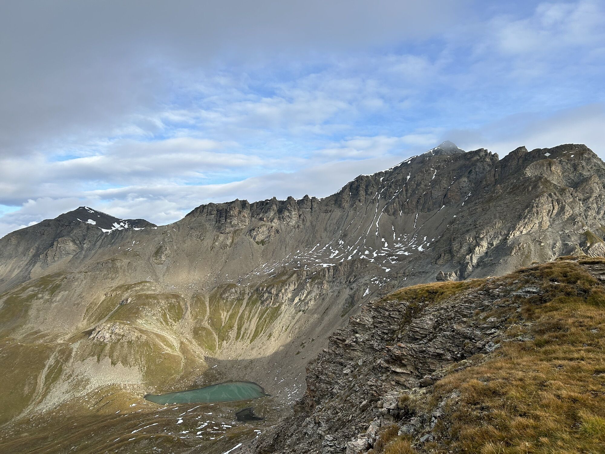
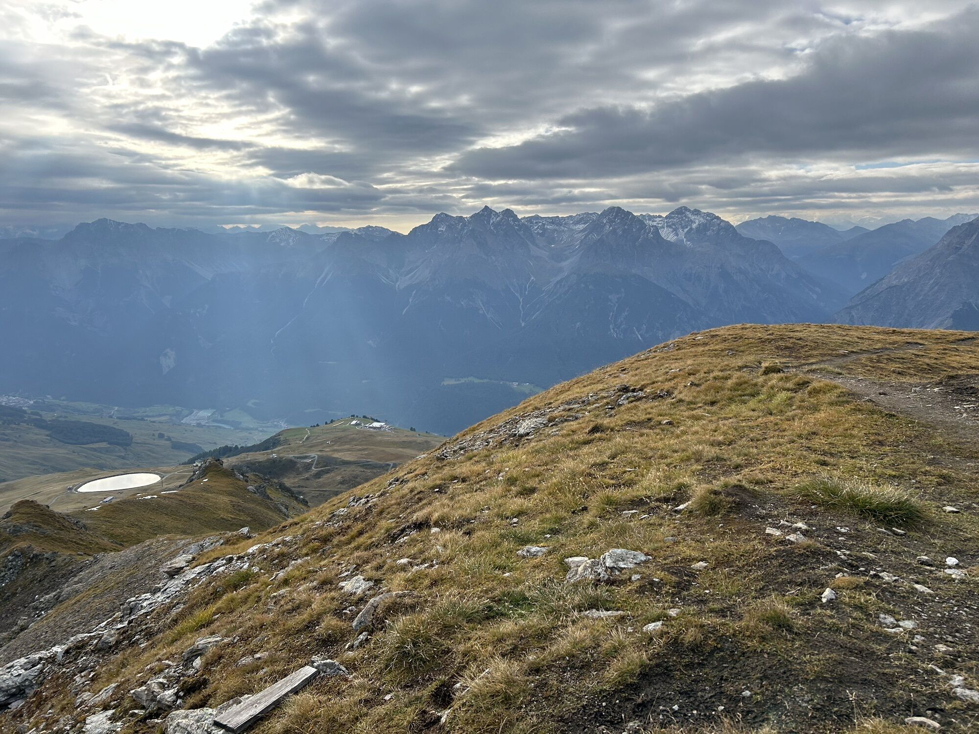
With a steady but gentle climb, the first section leads from the Motta Naluns mountain station via Schlivera reservoir to Alp Clünas. Those who don't shy away from steep climbs take the detour to the right...
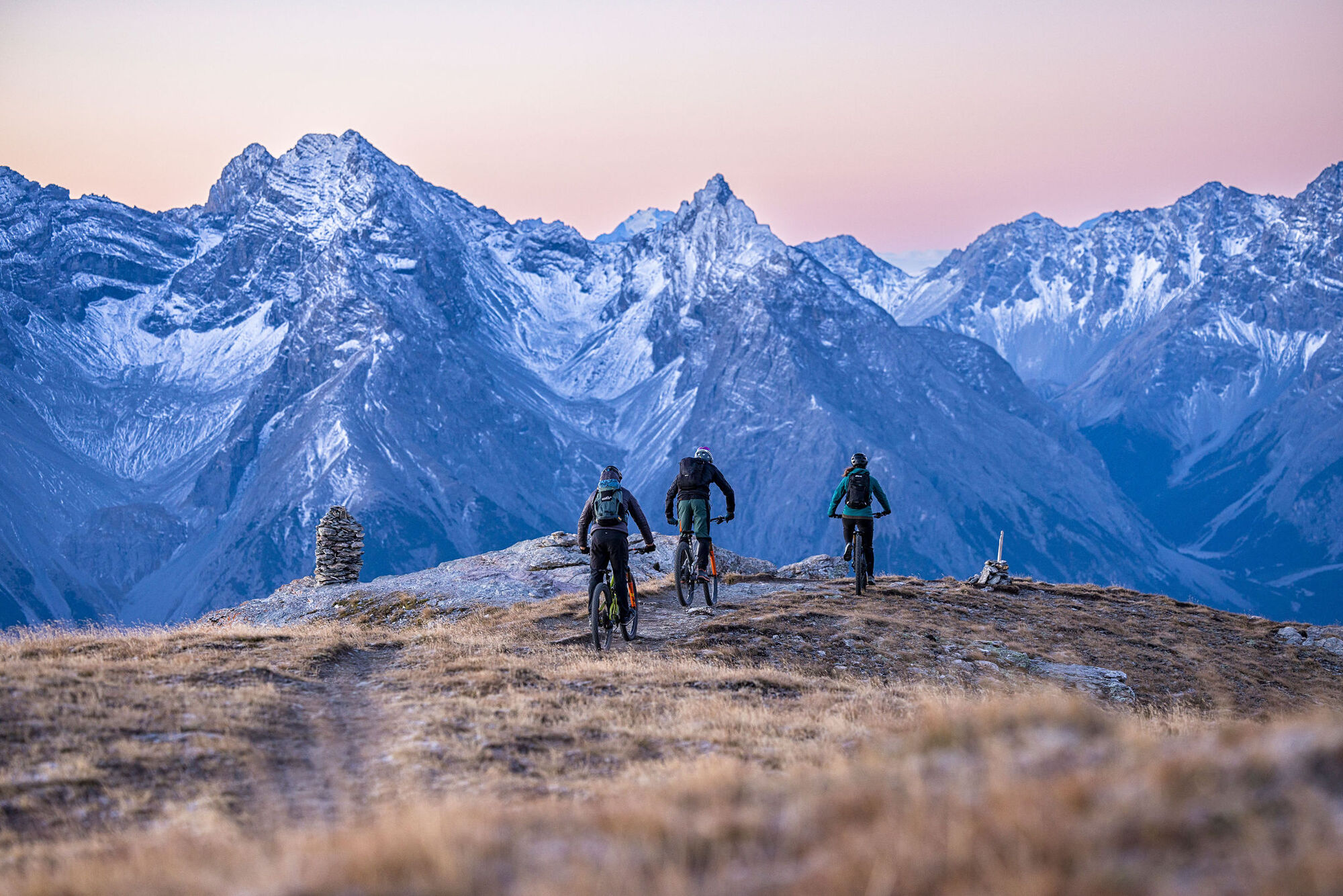
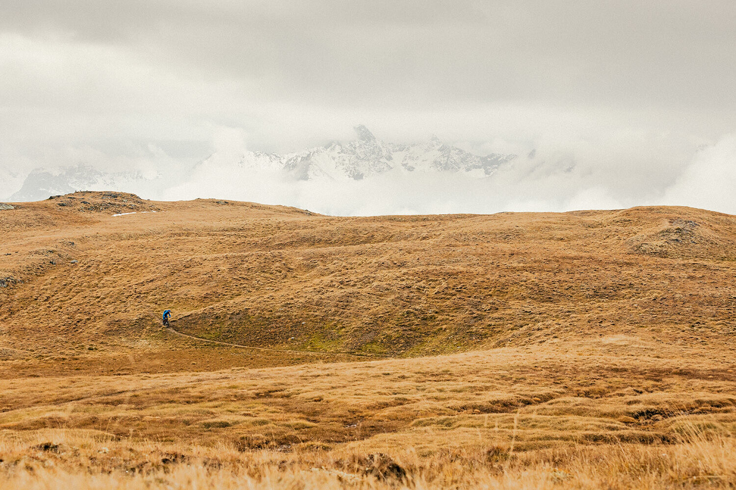
With a steady but gentle climb, the first section leads from the Motta Naluns mountain station via Schlivera reservoir to Alp Clünas. Those who don't shy away from steep climbs take the detour to the right up to Piz Clünas. The effort is definitely rewarded – on one hand with a breathtaking view over the valley and on the other with a challenging descent to Muot da l'Hom, where a newly extended flow trail awaits. With some technical sections, the trail requires concentration and promises a little adrenaline kick, before it calms down a bit from Alp Laret onwards. But not for long, because from Alp Valmala it continues on a well-developed trail through the wild Val Tasna. It goes on a forest road to Ftan and then on hidden, partly technical trails with hairpin bends down to the Inn.


Valley station mountain railways Scuol – Motta Naluns – Alp Clünas – Piz Clünas – Muot da l'Hom – Alp Laret – Alp Valmala – Ftan – Ftan Pitschen – Ftan Baraigla – Putschigls – Scuol
Áno
Helmet, gloves, good footwear, glasses, rain and sun protection, water bottle, repair kit, first aid kit
Snowfields are possible on high sections into the summer months.
The route was rated under favorable weather conditions; current weather conditions and forecasts must be strictly observed before starting the ride. This route does not require special riding skills or technical ability.
Emergency numbers:
144 Emergency, First Aid
1414 Mountain Rescue REGA
112 International Emergency Number
Please be considerate when crossing and overtaking hikers. The Grisons mountain bike routes largely run on single trails, which are also marked as hiking trails. Hikers always have priority.
Scuol is located directly on the Engadin Road H27 (20 minutes drive from Vereina South Portal)
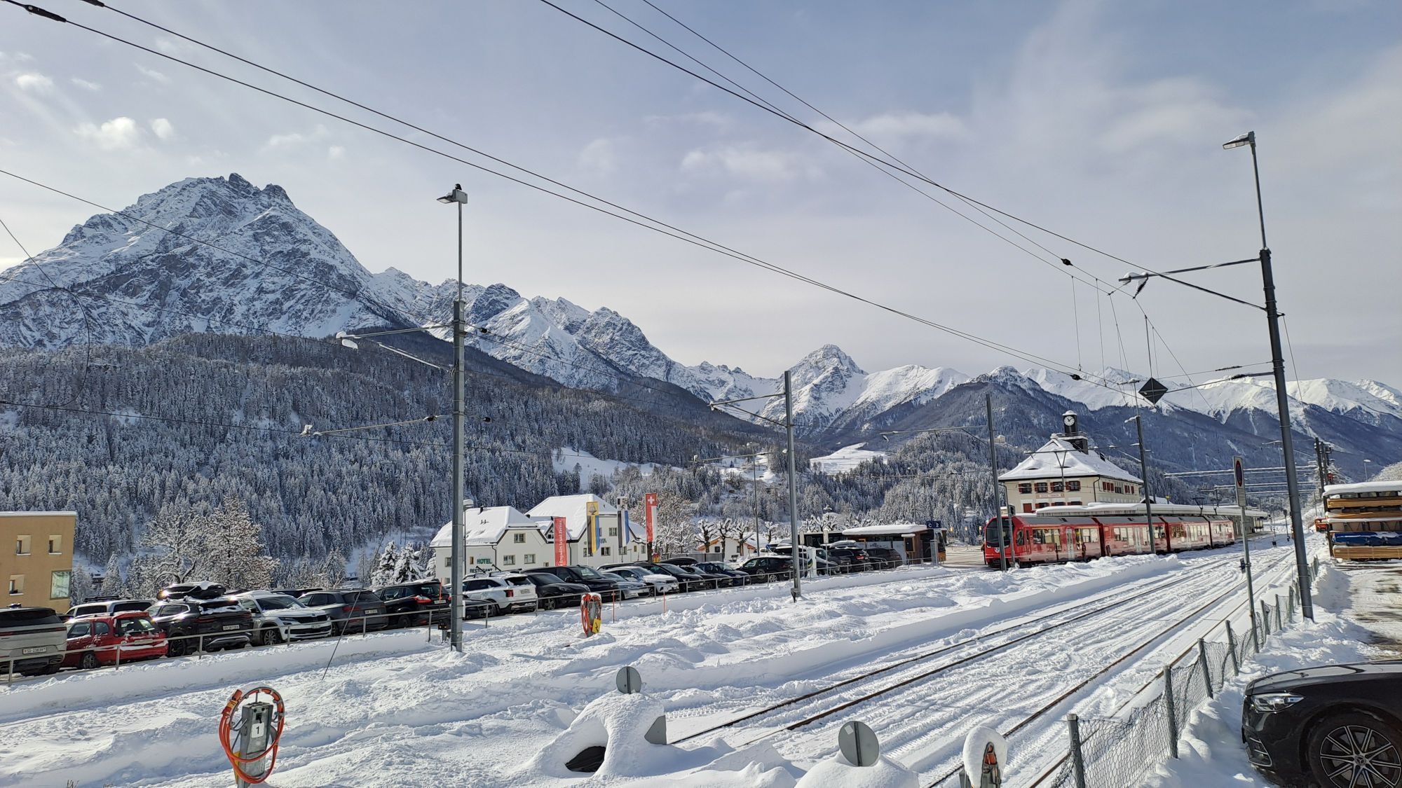
By the Rhaetian Railway (from Chur, Landquart/Prättigau or from the Upper Engadin) hourly to Scuol-Tarasp
By PostAuto (from Martina, Sent, Ftan or Tarasp) hourly to Scuol-Tarasp station
Paid parking spaces at the train station and near the mountain railways in Scuol.
Free parking spaces in Porta and Punt (Scuol Sot).
S3
Stop at Alp Laret to replenish energy reserves for the second half of the route
If you haven't had enough of the trails, you can add an extra loop in Ftan at the "Palüds – Center da Trails"
Webové kamery z prehliadky

Obľúbené výlety v okolí
-
4,8
Hiking trail Piz Buin - view
strednáTuristika 14,4 km -
5,0
Menta Alm - Scheibenalm
svetloTuristika 11,4 km -
3,2
Bielerhöhe and circular hike around the Silvretta reservoir
strednáTuristika 13,1 km -
4,7
Jamtal lodge
strednáTuristika 19,6 km -
5,0
Großer Piz Buin (3.312m), Normalweg 2019 über Ochsentaler Gletscher
ťažkéVysoké turné 24,1 km -
4,8
National park: Zernez – Munt Baselgia – Macun lakes – Alp Zeznina – Lavin
ťažkéTuristika 22,9 km -
3,7
Bielerhöhe - Vermuntkopf - Bielerhöhe
strednáTuristika 17 km -
4,8
Silvretta Stausee
svetloTuristika 6,22 km -
4,7
Hennekopf von der Bielerhöhe (Gemeinde Galtür, Tirol/Österreich)
strednáHorská turistika 9,43 km -
5,0
Ascent of Hohes Rad and stop at the Wiesbadener Hut
ťažkéTuristika 15,8 km
Turistika a stopovanie


Nenechajte si ujsť ponuky a inšpiráciu na ďalšiu dovolenku
Vaša e-mailová adresa bol pridaný do poštového zoznamu.





