


Guarda – Chamonna Tuoi CAS – Hinter Jamspitz
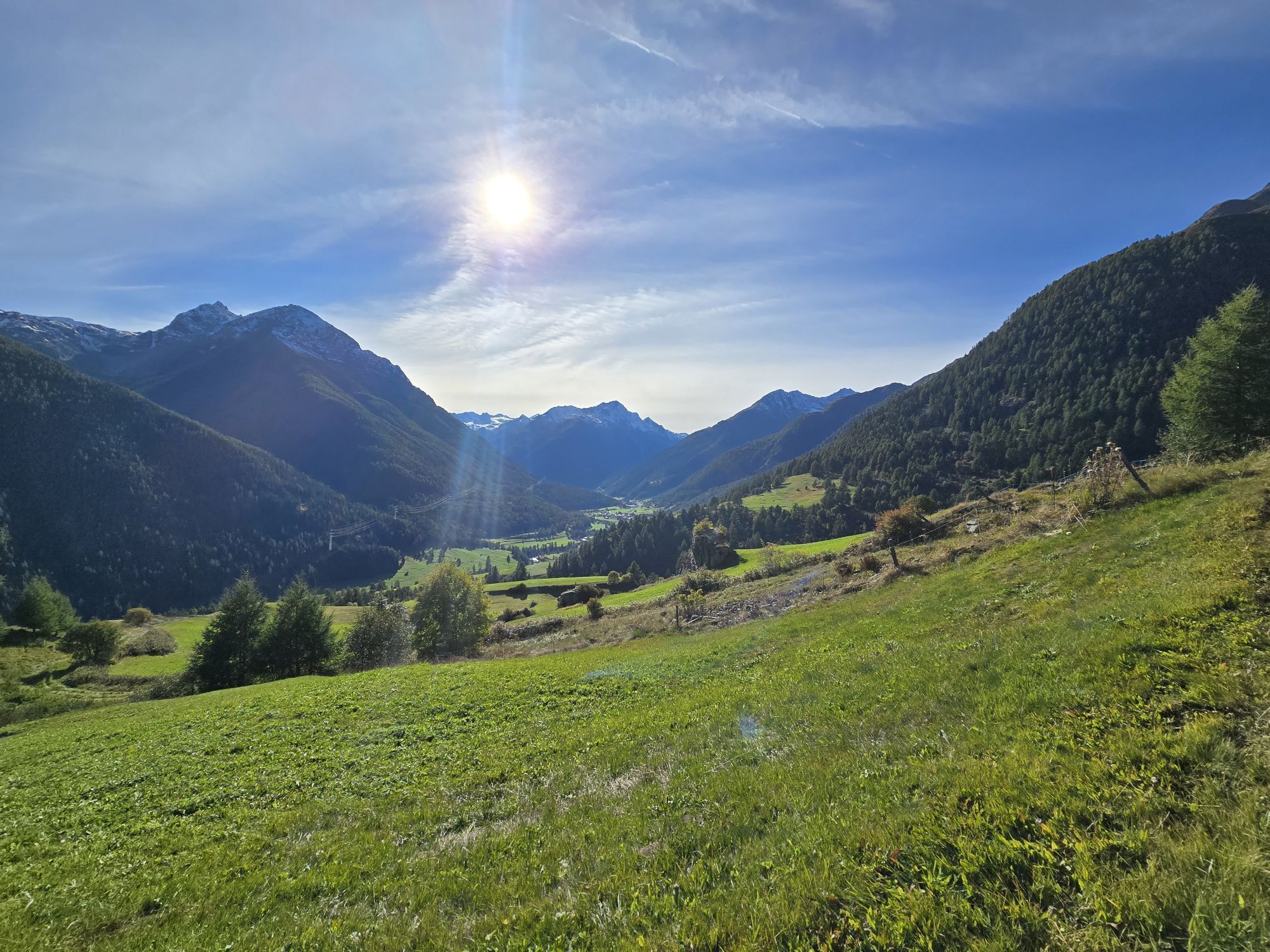
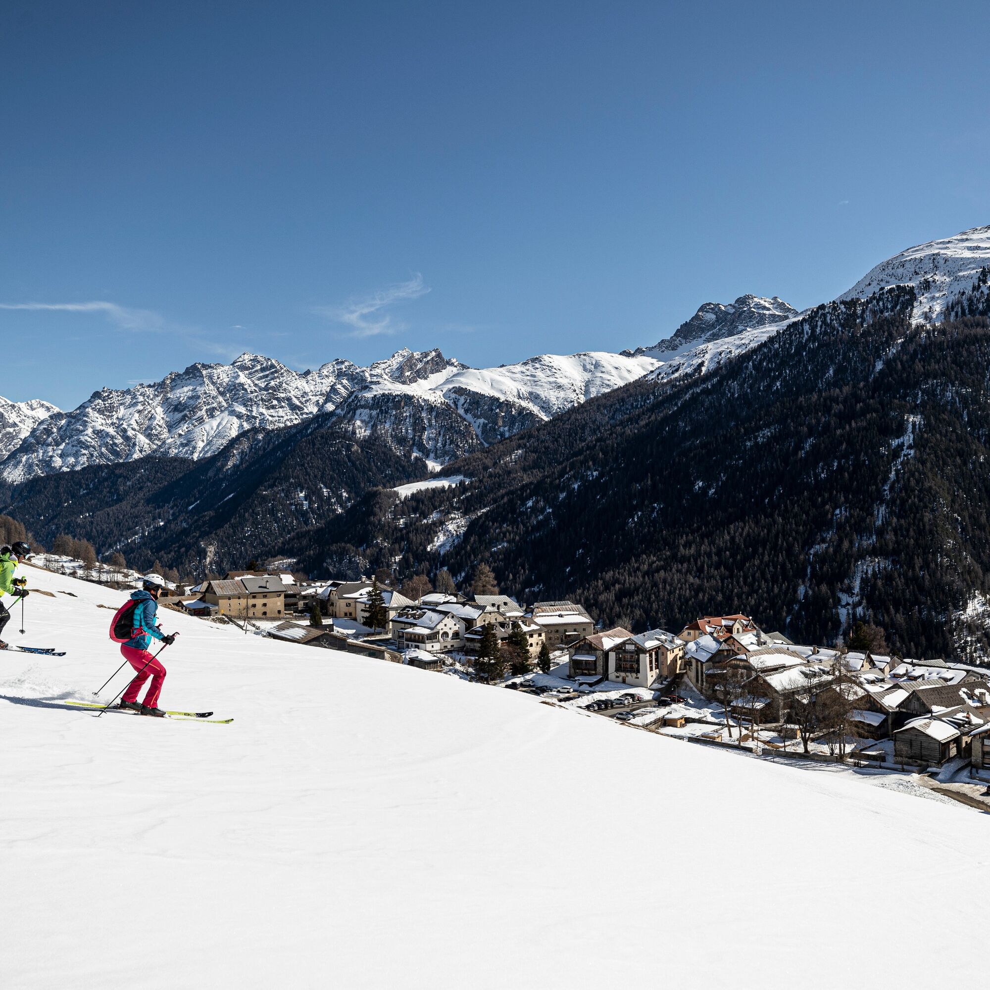
Stage 1: Guarda - Chamonna Tuoi CAS
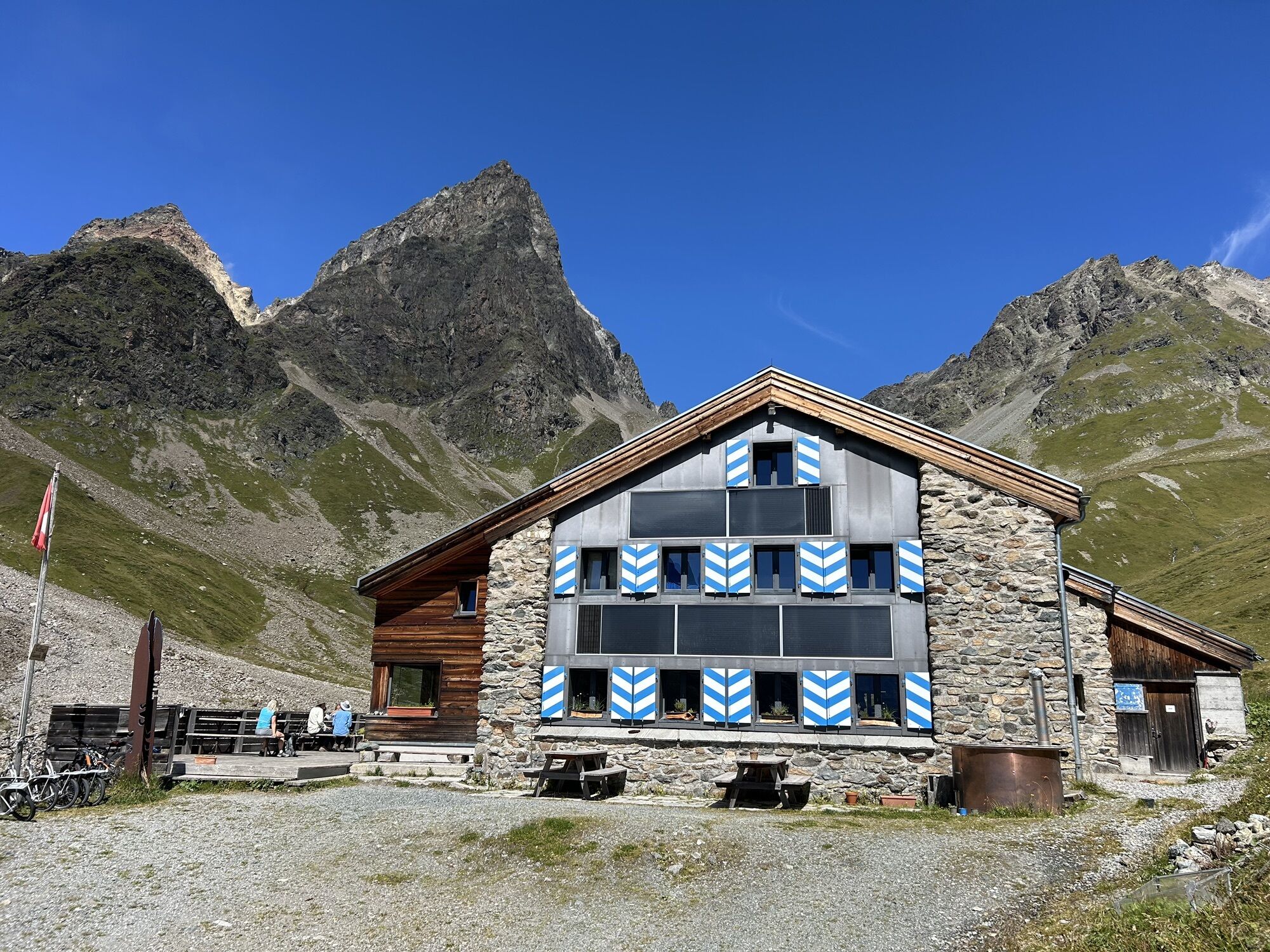
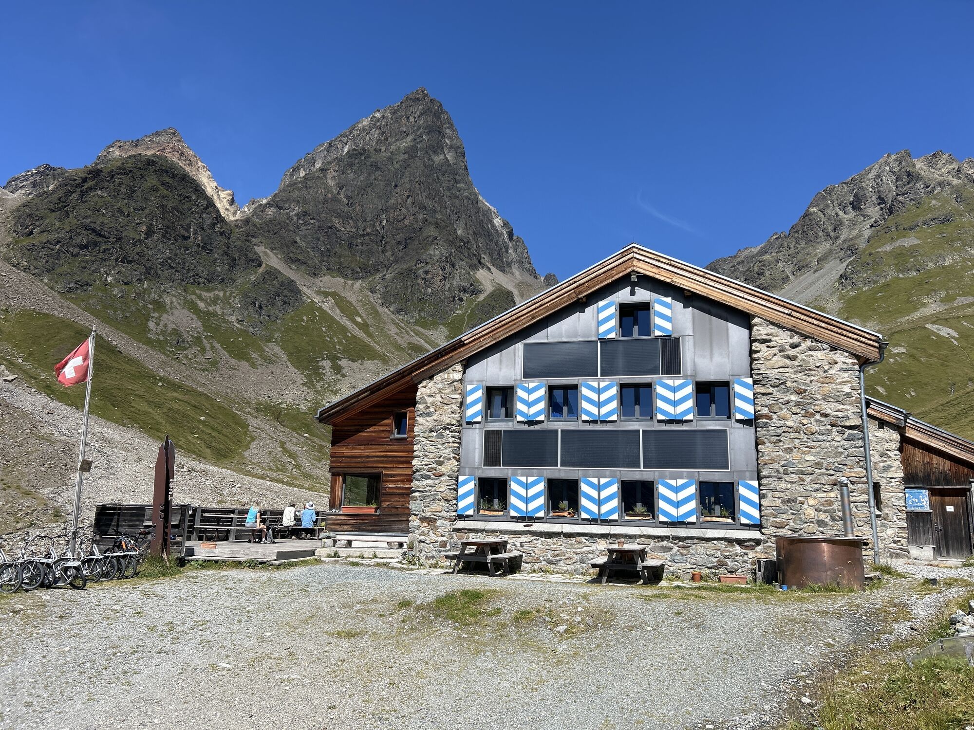
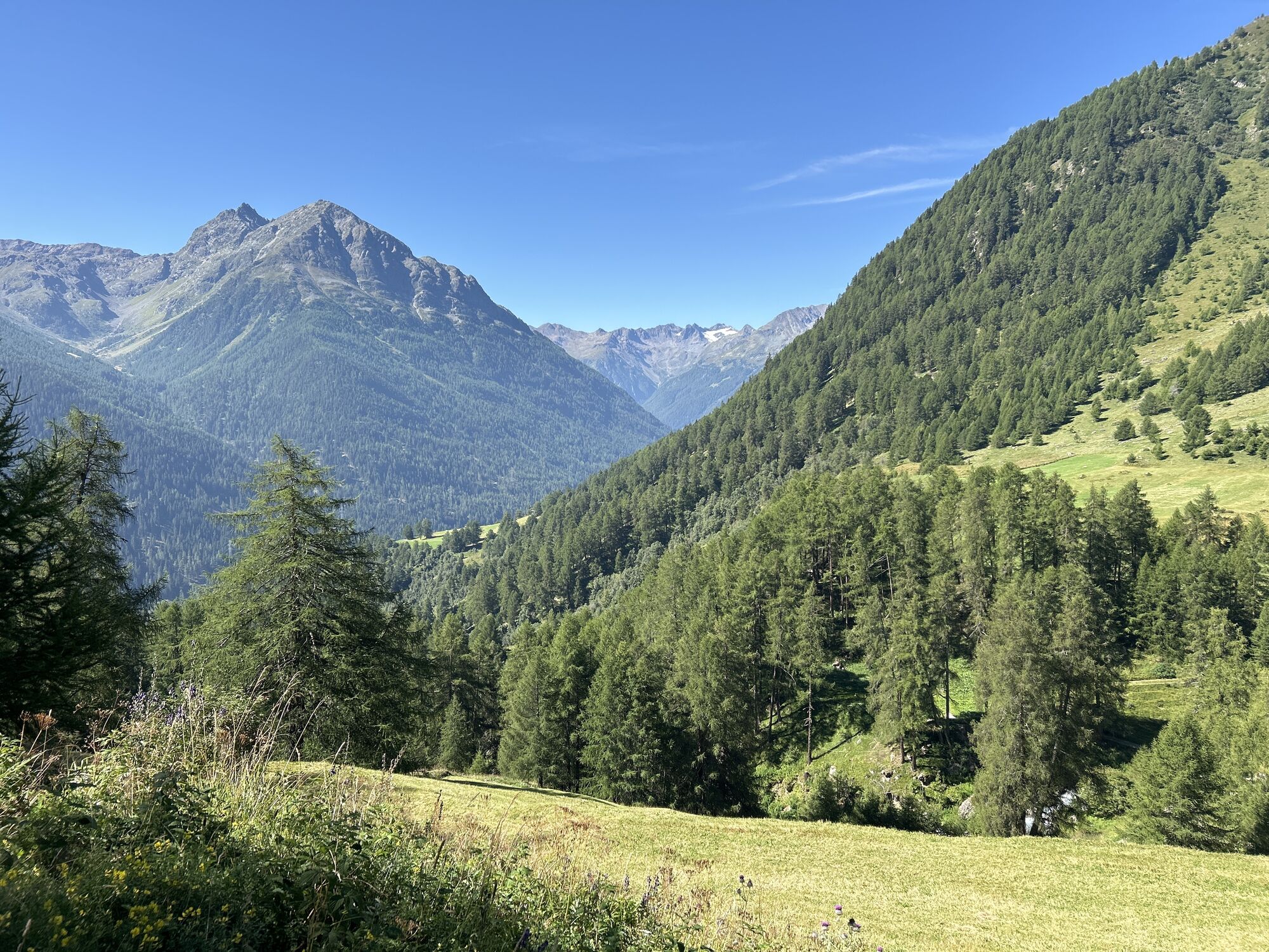
The ascent starts in Guarda on an alpine path into the Val Tuoi. The path runs along Alp Suot to the Chamonna Tuoi CAS. The Chamonna Tuoi CAS is the ideal starting point...
Stage 1: Guarda - Chamonna Tuoi CAS
The ascent starts in Guarda on an alpine path into the Val Tuoi. The path runs along Alp Suot to the Chamonna Tuoi CAS. The Chamonna Tuoi CAS is the ideal starting point for further ski tours and is mostly open all winter.
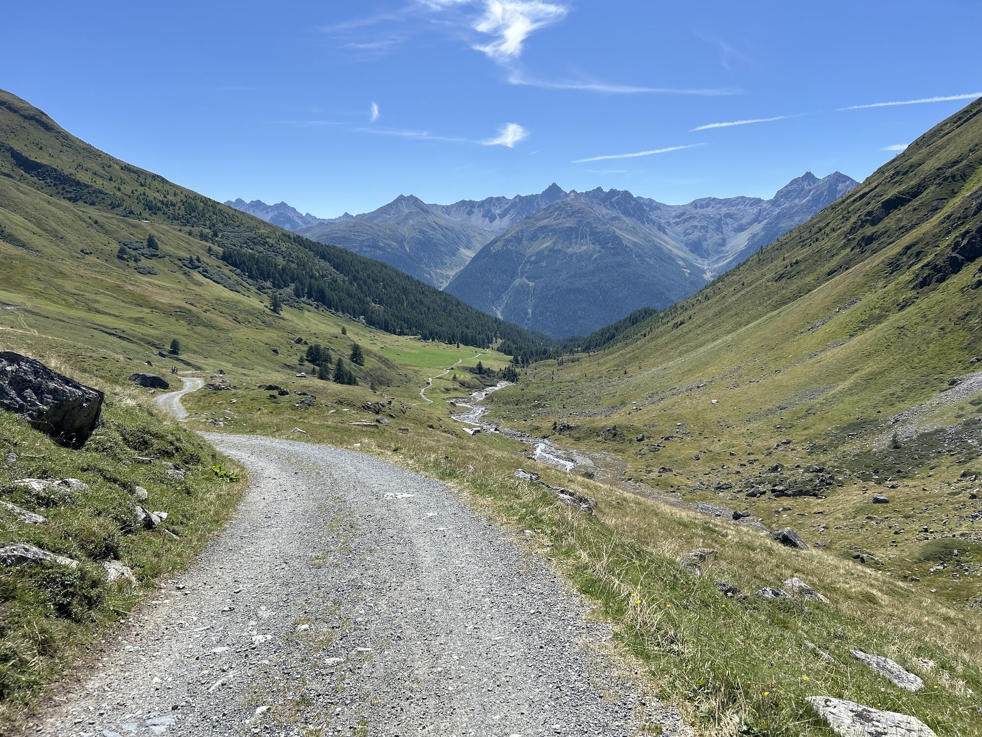
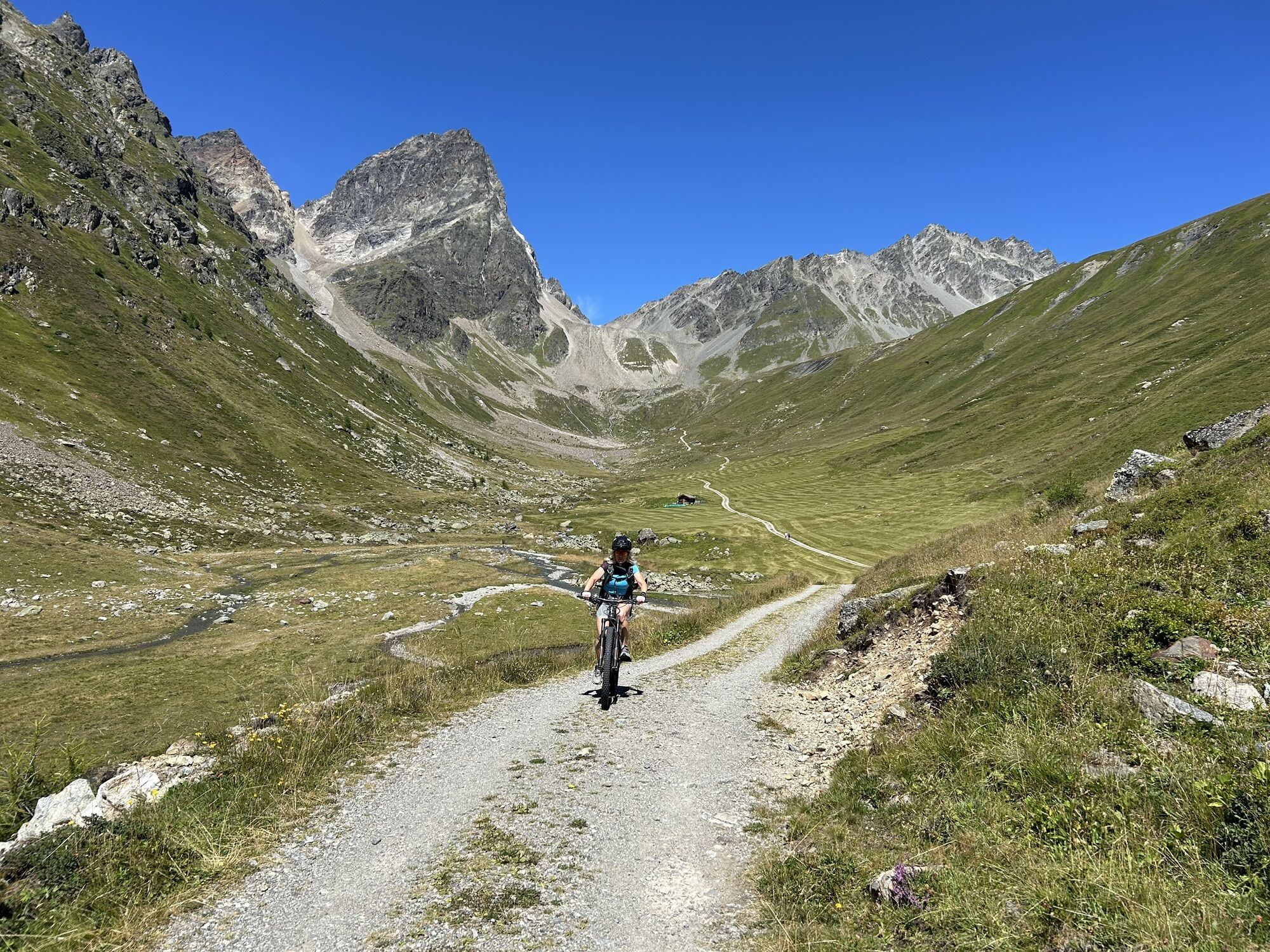
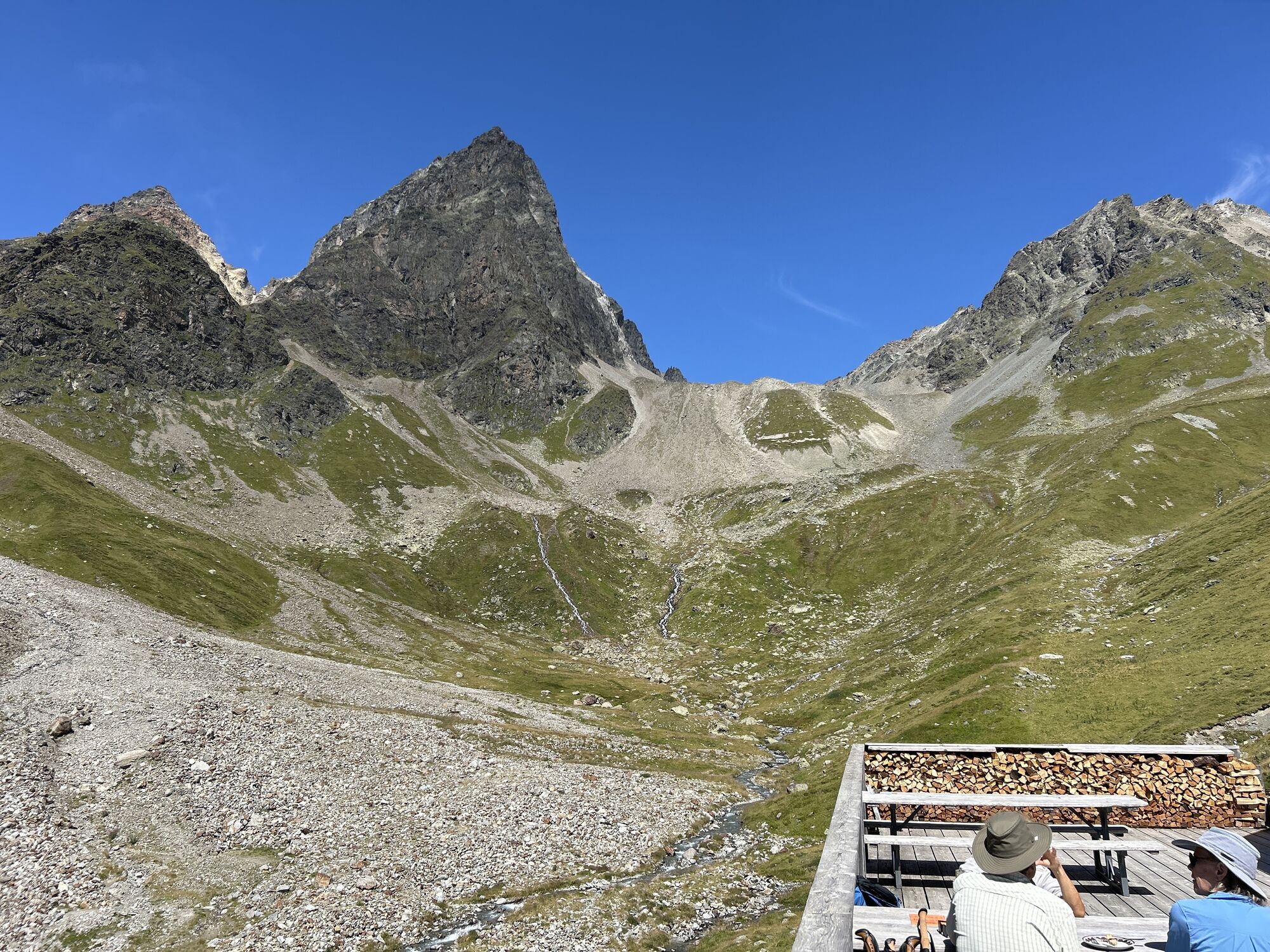
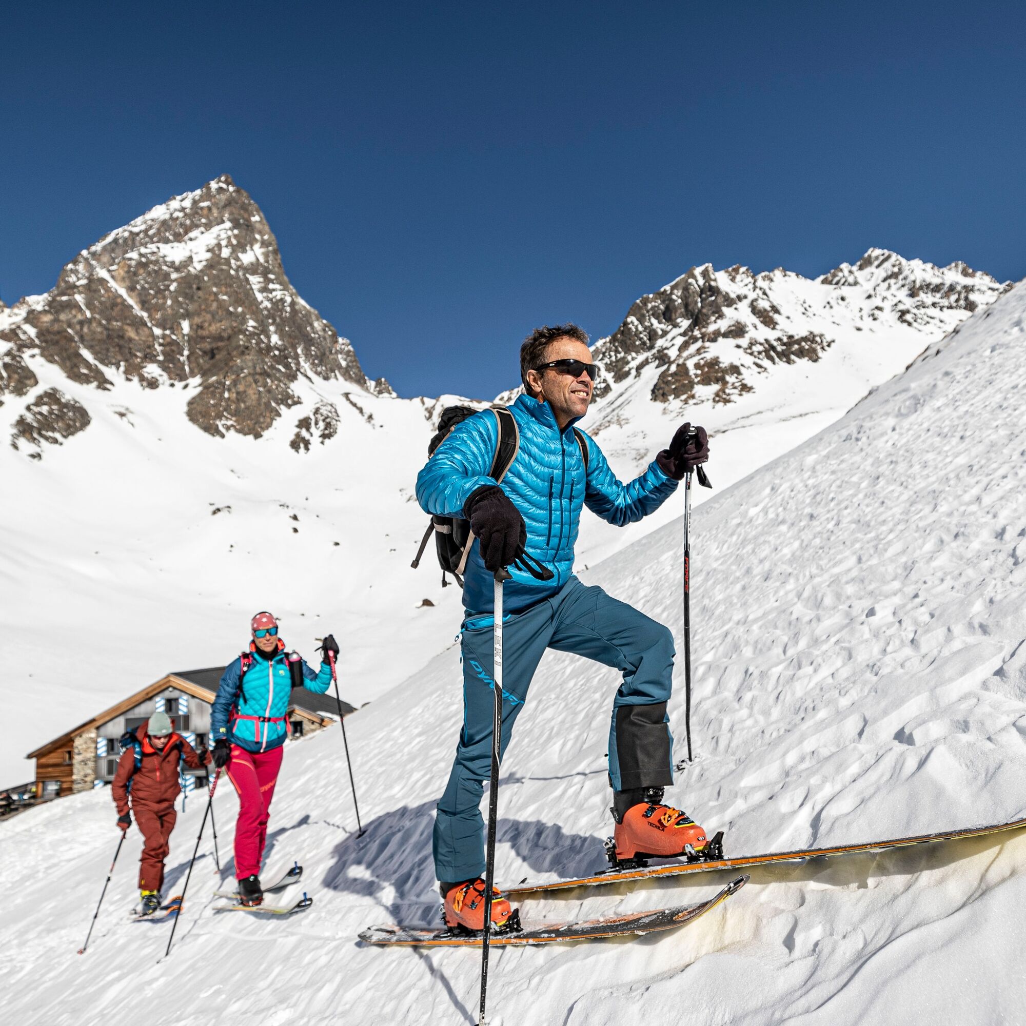
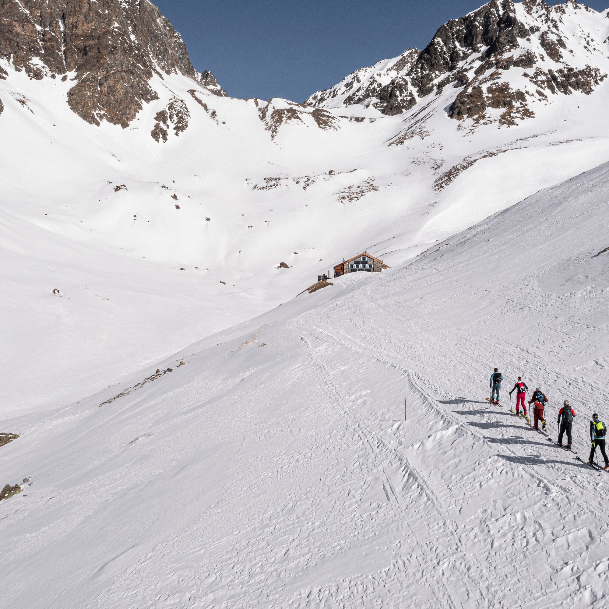
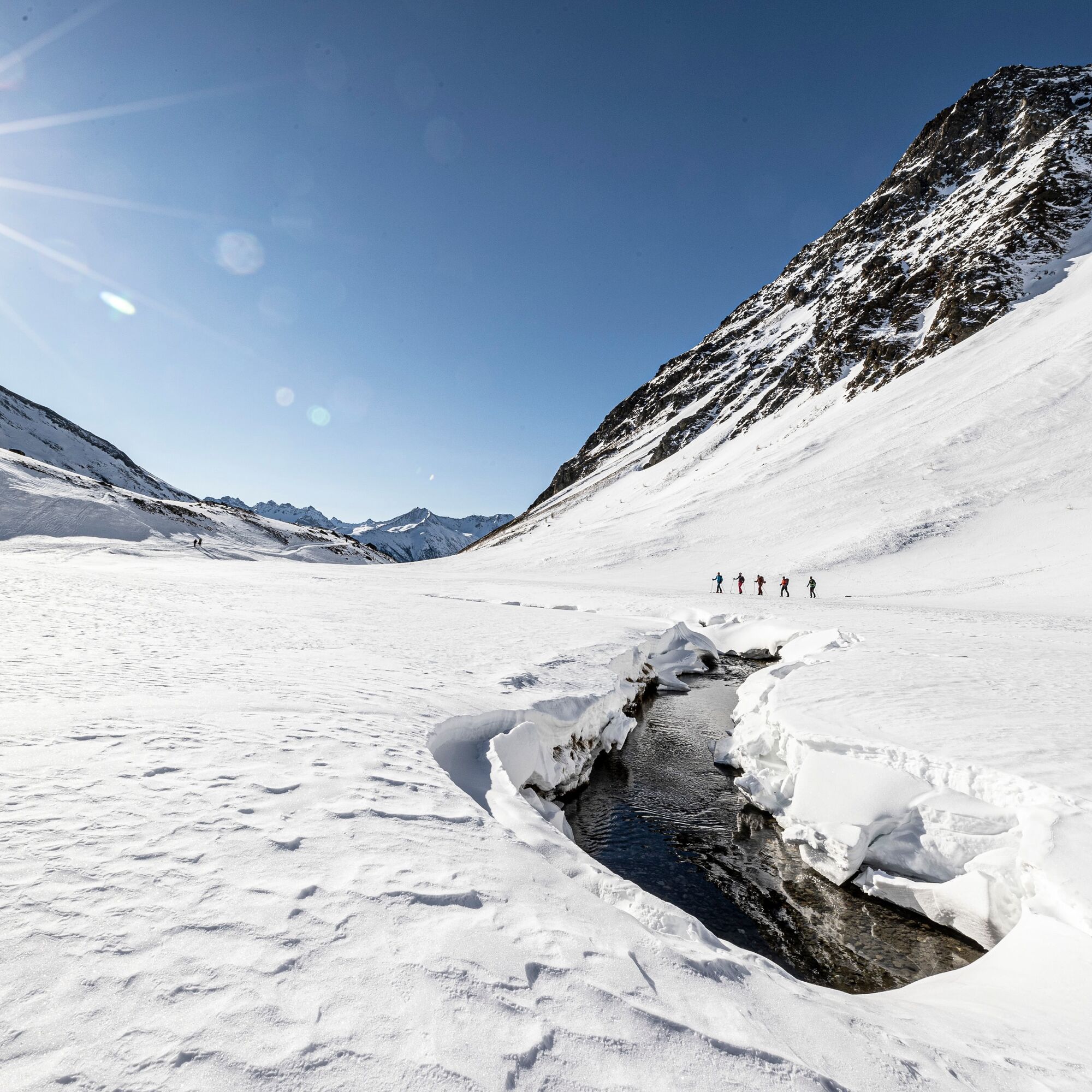
Stage 2: Chamonna Tuoi CAS - Hinter Jamspitz (3156 m above sea level)
The tour starts at Chamonna Tuoi with a northeastern ascent of about 150 metres. Afterwards, the route continues east over Plan Furcletta. Below Piz Furcletta at about 2800 m above sea level, the tour continues to the crossing to the Jamtal Glacier between Hinter Jamspitz and Piz Urezzas. Hinter Jamspitz is bypassed to the northeast to the Jamjoch (3034 m above sea level). The summit leads via the steep north slope to Hinter Jamspitz (3156 m above sea level). The last meters to the summit are tackled on foot. Several descent options exist including to the Jamtal Hut DAV, to Val Tasna, or back to Guarda.

Áno
Áno
Ski touring equipment, safety gear (avalanche transceiver, probe, shovel), first aid kit, provisions
The route was rated under favourable weather conditions; current weather conditions and forecasts must be strictly observed before starting the tour.
Emergency numbers:
144 Emergency, first aid I 1414 Mountain rescue REGA I 112 International emergency number
Tours in winter mountains carry risks. Off marked slopes and trails, tour participants are responsible for themselves.
Following routes in alpine terrain requires good fitness, serious preparation and technical mountaineering knowledge. Following the described routes is at your own risk. For safe mountaineering, training under expert guidance is recommended. All content is compiled with the greatest care. The Tourism Engadin Samnaun Val Müstair AG (TESSVM) and the authors assume no liability for the timeliness, correctness or completeness of the information provided. Liability claims of any kind against TESSVM or the authors are excluded. It is also recommended to check the daily avalanche bulletin at: slf.ch
From the north: via Landquart – Klosters by car shuttle through the Vereina tunnel (Selfranga - Sagliains) or via Flüela Pass to Lower Engadin on H27
From the east: via Landeck / Austria towards St. Moritz on H27
From the south: via Reschen Pass (Nauders-Martina) or Ofen Pass (Val Müstair-Zernez) on H27
Guarda is reachable in 20 minutes driving time from the Vereina south portal via the Engadin road H27.
Accessible by train and bus
By the Rhaetian Railway (from Chur, Landquart/Prättigau or from Upper Engadin) hourly to Guarda station
With the PostBus connection to the PostBus stop Guarda, cumün
Paid parking spaces at the entrance to the village of Guarda
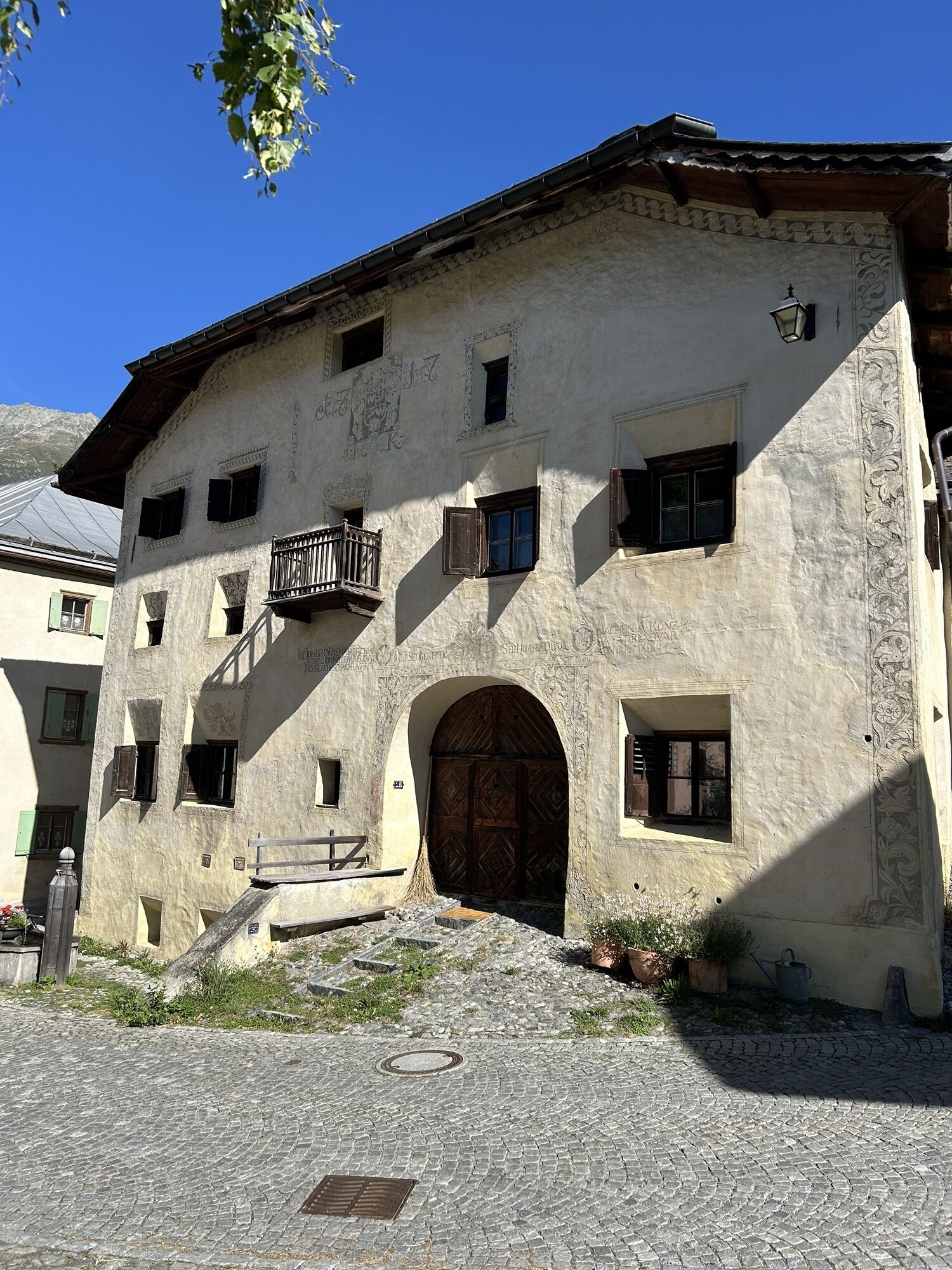
Guarda, along with the villages Lavin and Ardez, is the second mountaineering village in Switzerland. More information at: bergsteigerdoerfer.org
Aktivity počas prehliadky


Obľúbené výlety v okolí
-
4,9
Hiking trail Piz Buin - view
strednáTuristika 14,4 km -
5,0
Menta Alm - Scheibenalm
svetloTuristika 11,4 km -
2,8
Bielerhöhe and circular hike around the Silvretta reservoir
strednáTuristika 13,1 km -
4,7
Jamtal lodge
strednáTuristika 19,6 km -
5,0
Großer Piz Buin (3.312m), Normalweg 2019 über Ochsentaler Gletscher
ťažkéVysoké turné 24,1 km -
4,8
National park: Zernez – Munt Baselgia – Macun lakes – Alp Zeznina – Lavin
ťažkéTuristika 22,9 km -
2,0
Bielerhöhe - Vermuntkopf - Bielerhöhe
strednáTuristika 17 km -
4,5
Tarasp Fontana – Sparsels – Lai Nair (circular route)
svetloTuristika 7,67 km -
4,5
Ski tour Hennekopf (2,704 m)
strednáSkitour 4,17 km -
5,0
Silvretta Stausee
svetloTuristika 6,22 km
Turistika a stopovanie


Nenechajte si ujsť ponuky a inšpiráciu na ďalšiu dovolenku
Vaša e-mailová adresa bol pridaný do poštového zoznamu.