



Werra Water Hiking 12: Witzenhausen - Hann. Münden

Úroveň náročnosti: 2
Through the wide fields of the Werra valley towards Witzenhausen, this final Werra Water Hiking stage passes the Witzenhausen districts of Ermschwerd (about 5.5 km), Gertenbach (8 km), and Blickershausen...
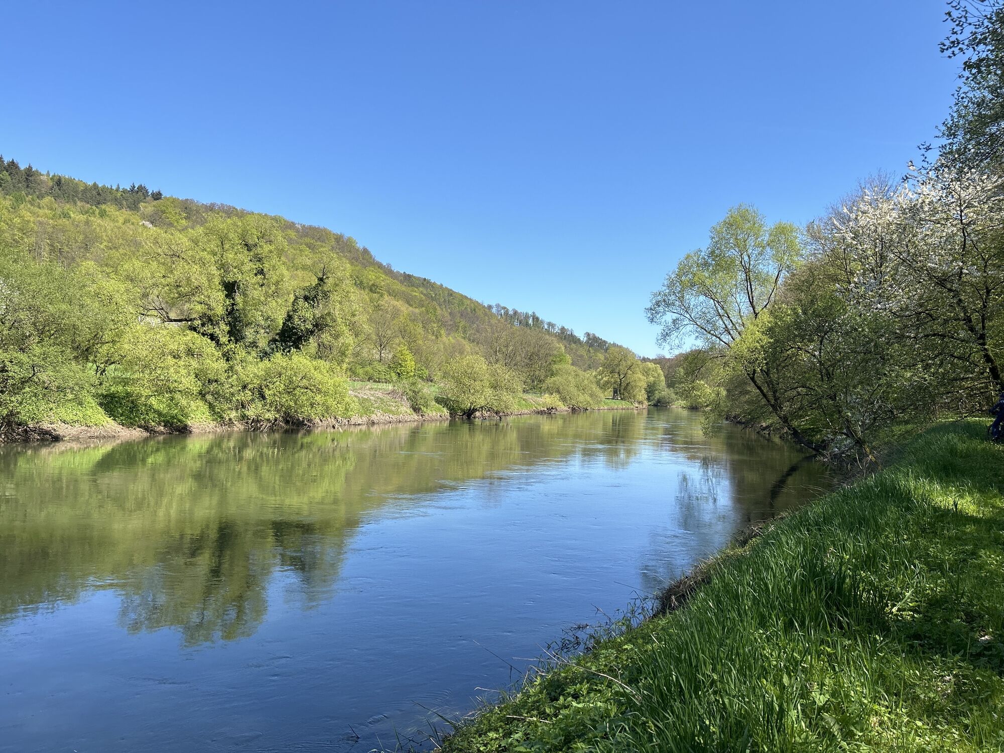
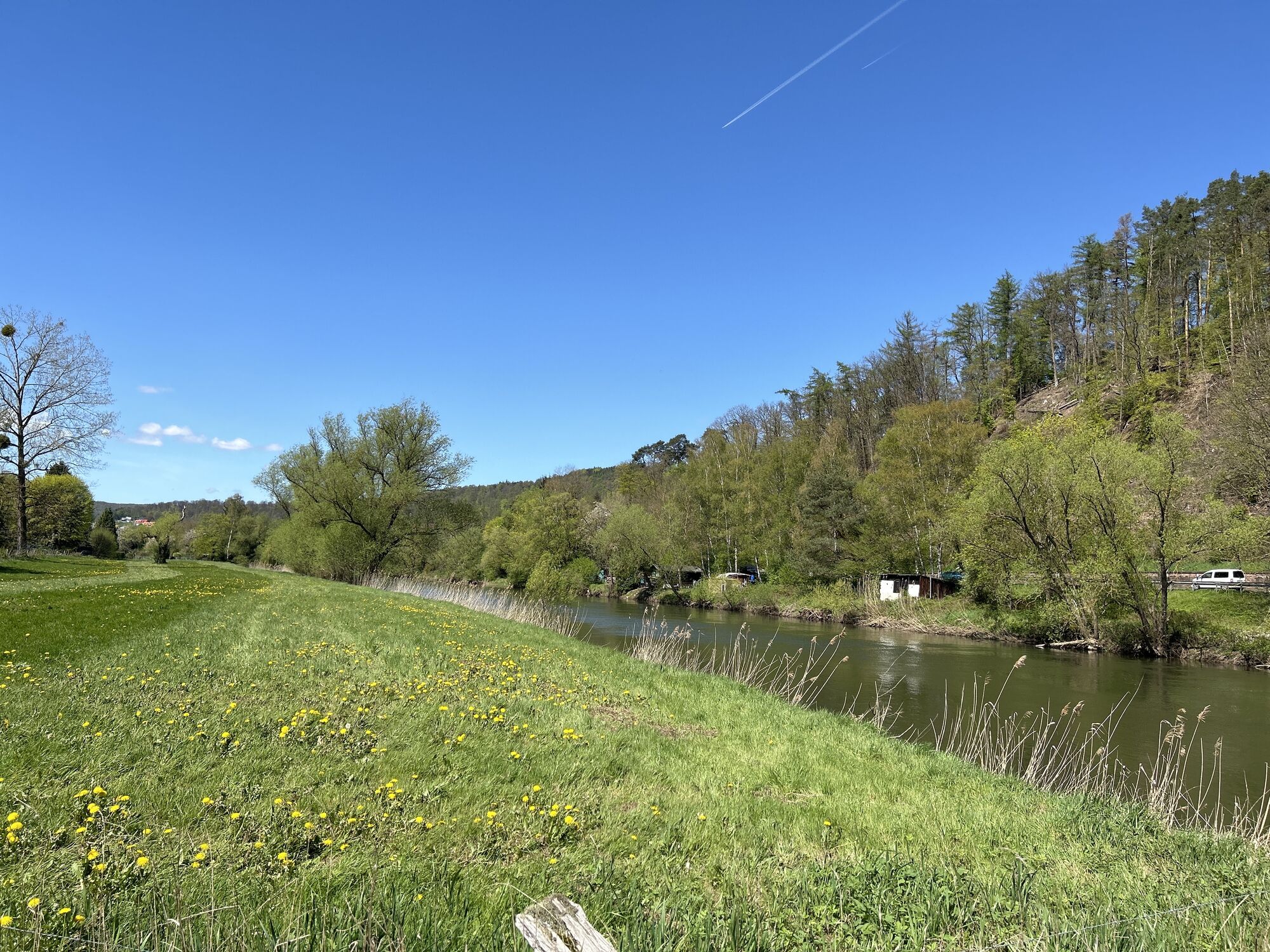
Through the wide fields of the Werra valley towards Witzenhausen, this final Werra Water Hiking stage passes the Witzenhausen districts of Ermschwerd (about 5.5 km), Gertenbach (8 km), and Blickershausen (9 km). Shortly after Blickershausen, the Werra forms a border again: between Hesse and Lower Saxony, which is reached at Hedemünden (approx. 11.5 km). About 1 km before the Hedemünden mill weir, the Werra is diverted left into a navigable side arm where a nice rapid section is passed.
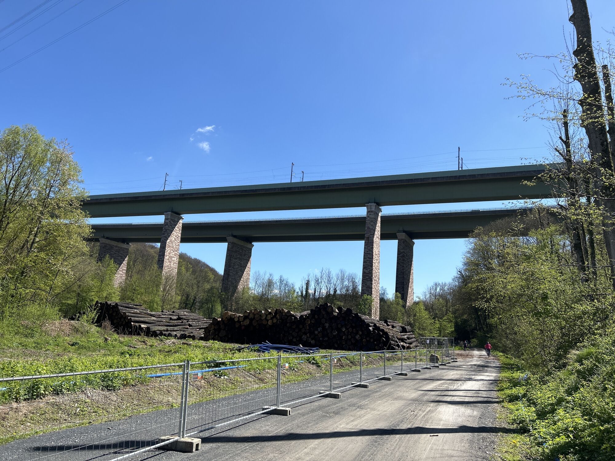
Behind Hedemünden, the forests of the Münden Nature Park shape the narrow Werra valley between the mountain slopes. The last 11 km of the Werra flow through the Lower Saxony Nature Park Münden to Oberode, past the remotely located inn and Spiegelburg campsite to Laubach. Behind the large A7 highway bridge over the Werra, at the Statkraft hydroelectric power plant at the "Last Heller," there is a decommissioned lock that must be portaged with available boat carts. Here, the Werra flows in large bends through the forest landscape until, after about 20.5 km, the urban area of Hann. Münden at the Werra bridges is reached.
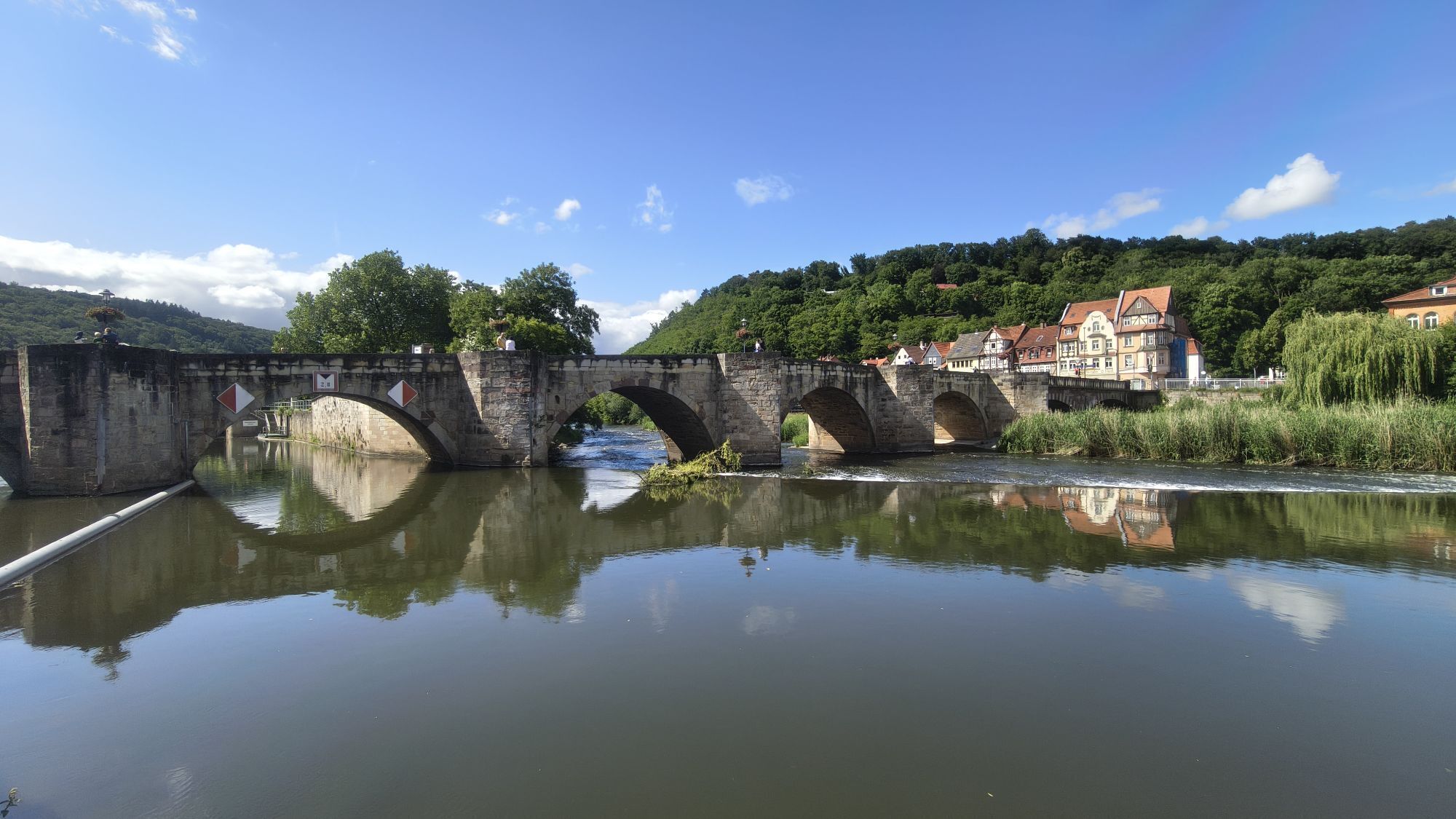
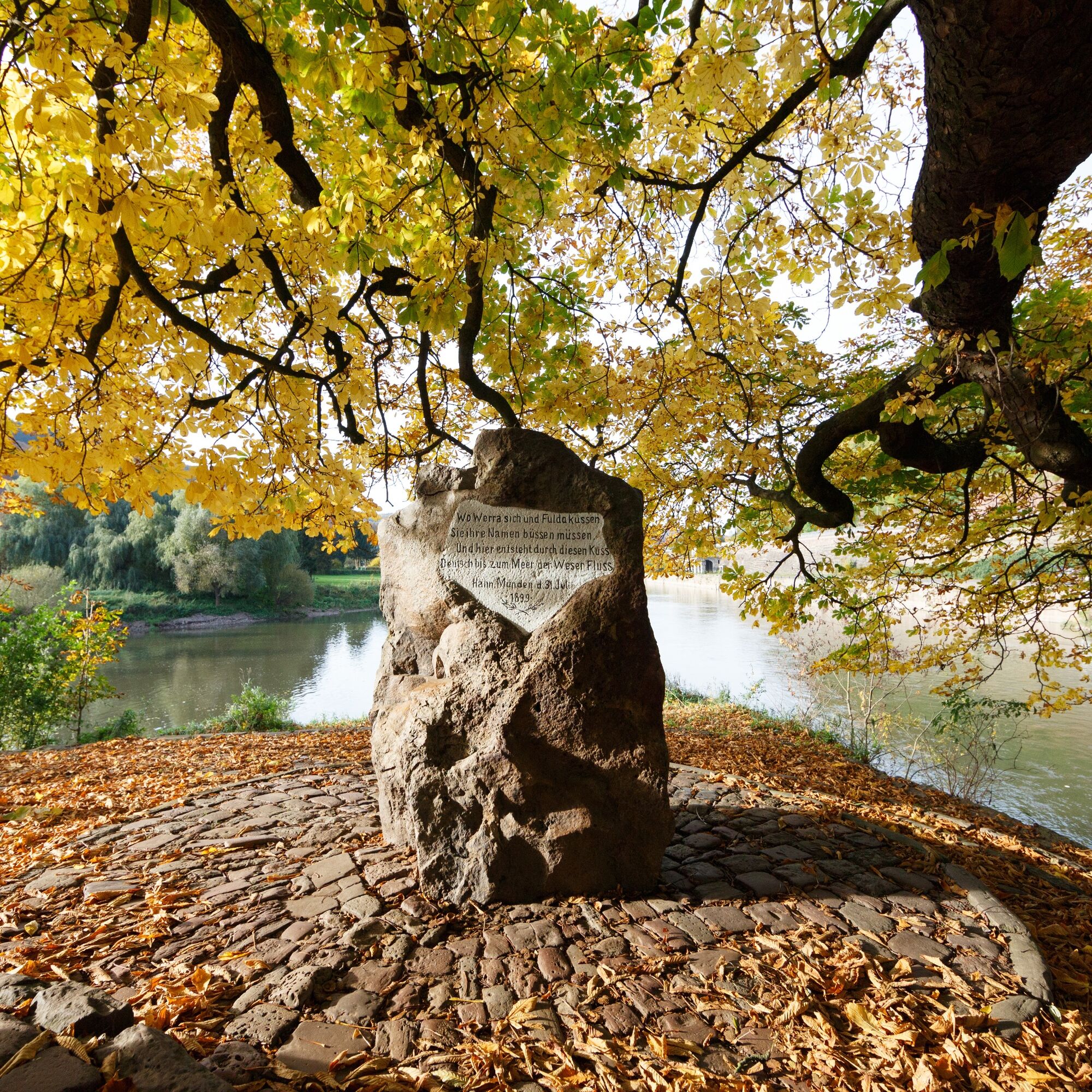
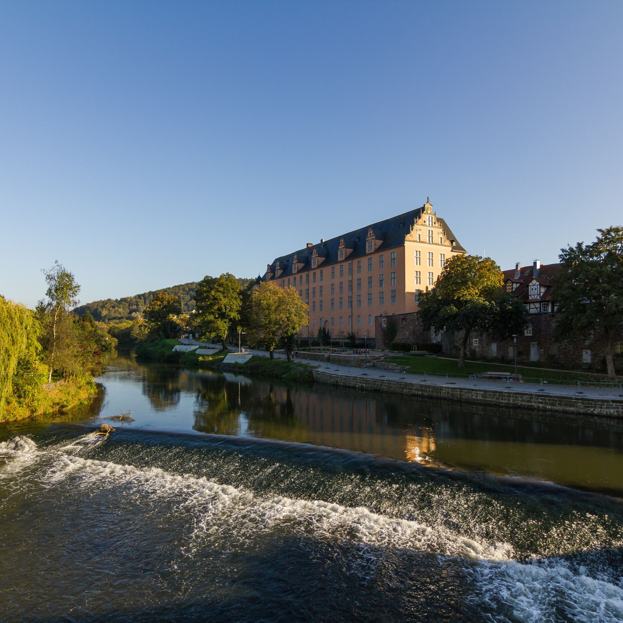
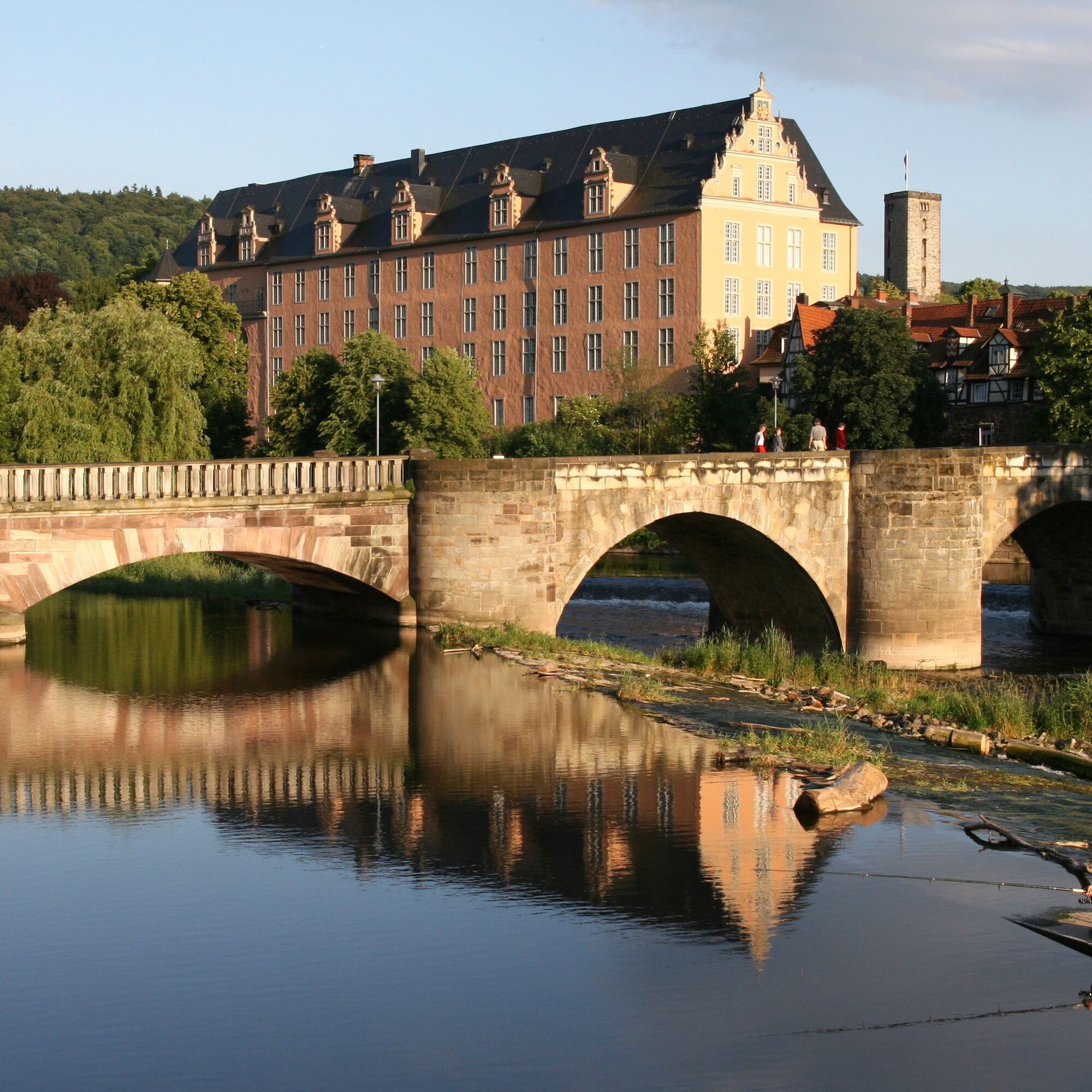
On the right Werra side arm divided by the Blümer Werder, you reach the city center of Hann. Münden at the historic Old Werra Bridge. The last Werra dam at the old large weirs is overcome by a short portage next to the Blume power plant. From here it is about 350 m to the boat landing at Tanzwerder (about 100 m upstream on the Fulda around the tip), where the endpoint of the Werra Water Hike is reached. At the Weserstein at the tip of Tanzwerder, the Werra unites with the waters of the Fulda and flows northward as the Weser. Here begins the Weser Water Hike, on which after about 430 river kilometers, one can reach Bremerhaven and the North Sea. But that's a whole other story.


2
Sights
Witzenhausen: historic old town, outdoor pool, cherry blossom
Hedemünden: Roman camp Hedemünden
Hann. Münden: historic old town, WesersteinWater hiking tours, boat rental
Werra-Kanu Creuzburg & Eschwege, Active Station Creuzburg, Active Station Eschwege
Werratalsee Nature Camp Meinhard
Kanurado Eschwege
Hunter Oak Experience Ranch and canoe rental Bad Sooden-Allendorf
Werratal Campsite Witzenhausen
Canoe rental Canoe Tourism Middle Hann. Münden
The cherry land near Witzenhausen appears as a white sea of blossoms in spring during the cherry tree bloom.
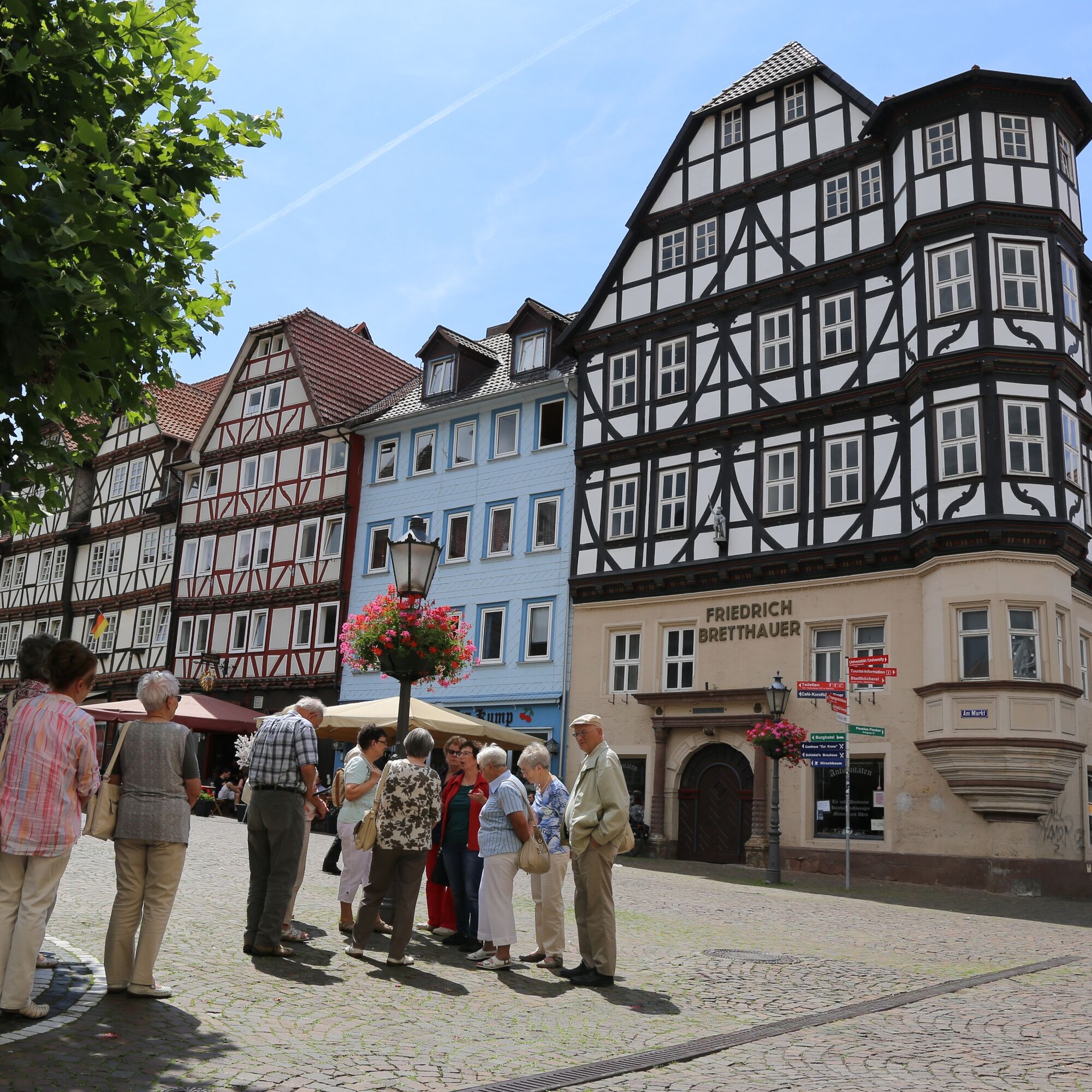
The historic old town of Witzenhausen with timber-framed houses is worth seeing.
The historic timber-framed and three-rivers town Hann. Münden is a must-experience. At the Weserstein on the island Tanzwerder, the rivers Fulda and Werra unite to form the Weser.
Webové kamery z prehliadky
Obľúbené výlety v okolí
-
5,0
Premium trail P14 Bilstein
strednáTuristika 9,96 km -
4,0
Premium route P11 Niester Riesen
svetloTuristika 11,6 km -
3,8
Premium route P27 Ludwigstein
strednáTuristika 11,2 km -
Premium route P9 Wacholderpfad Roßbach
strednáTuristika 11,1 km -
5,0
Premium route P25 Kleinalmerode
strednáTuristika 13,4 km -
1st section Werra-Burgen-Steig Hessen
strednáTuristika 7,40 km -
Thuringian long-distance cycle routes - 02 - Werratal Cycle Route - Stage 6: Eschwege → Hann. Münden
strednáDiaľková cyklotrasa 62,3 km -
3rd section Werra-Burgen-Steig Hessen
Turistika 8,24 km -
4th section of the Werra-Burgen-Steig Hessen
Turistika 9,62 km -
From Göttingen to Hanstein Castle - Witzenhausen and back
ťažkéCyklistika 75,7 km
Turistika a stopovanie


Nenechajte si ujsť ponuky a inšpiráciu na ďalšiu dovolenku
Vaša e-mailová adresa bol pridaný do poštového zoznamu.


