






Velovista2026 Stage2_Pörtschach-Spittal

Úroveň náročnosti: 2
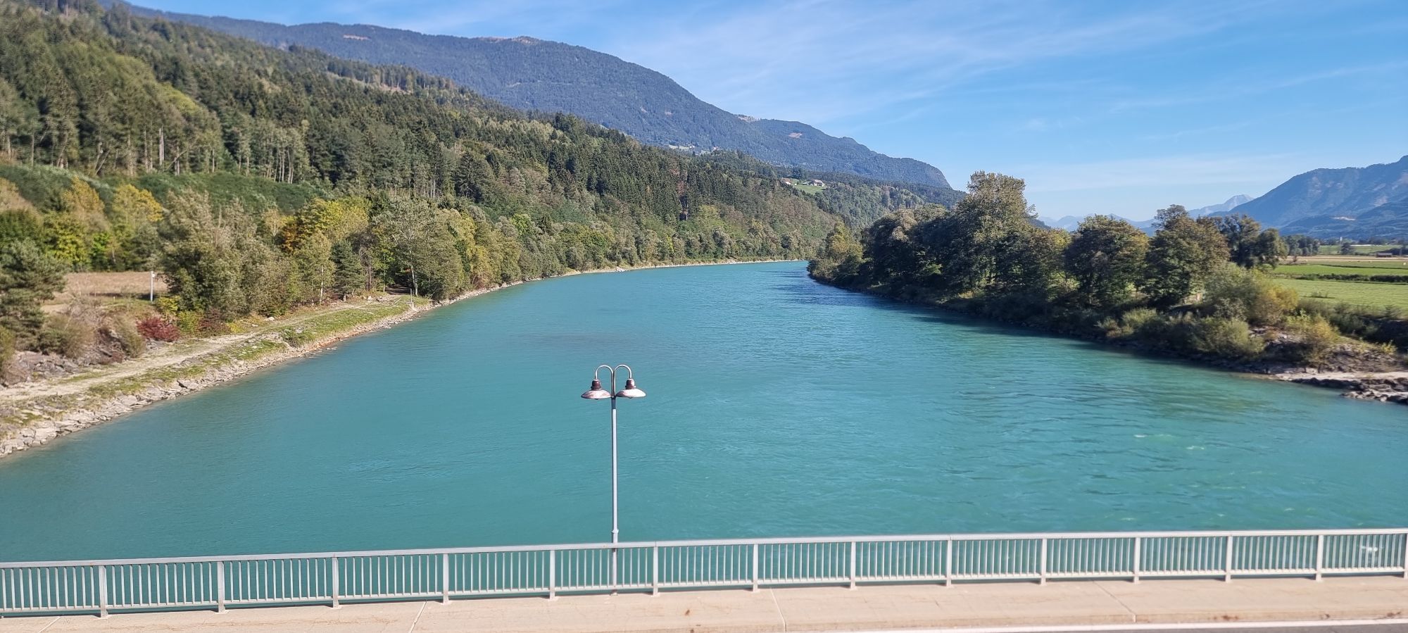
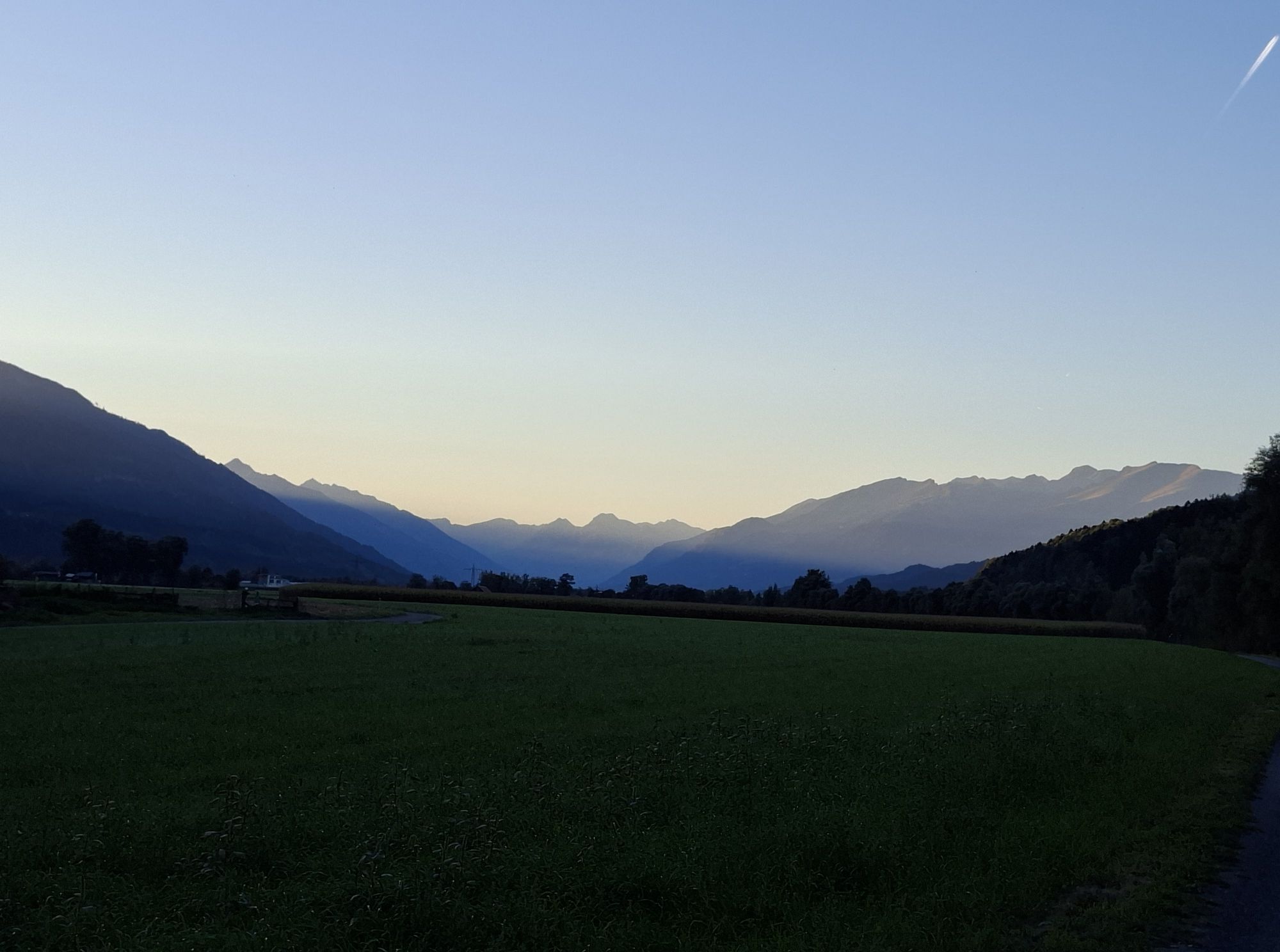
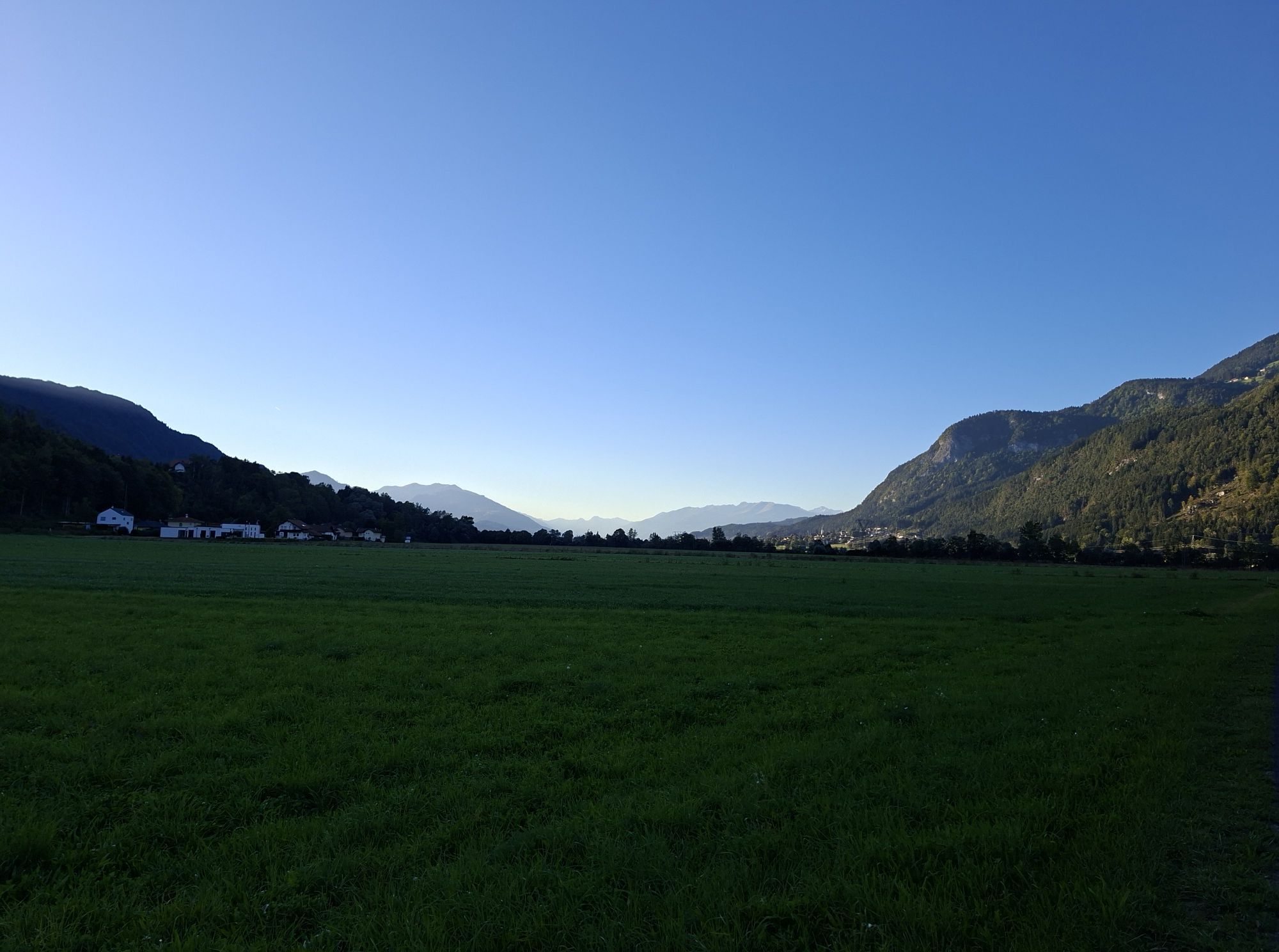
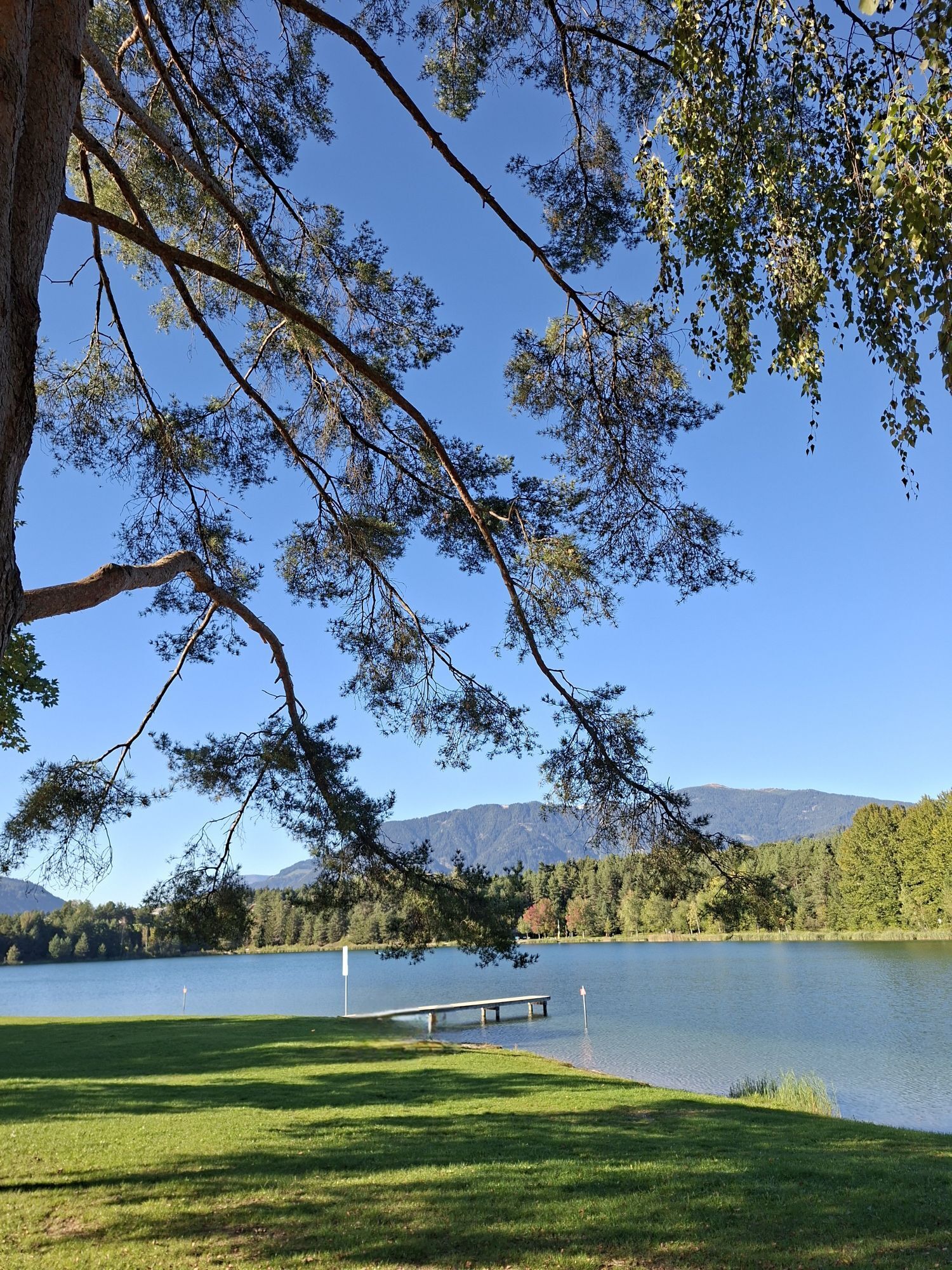
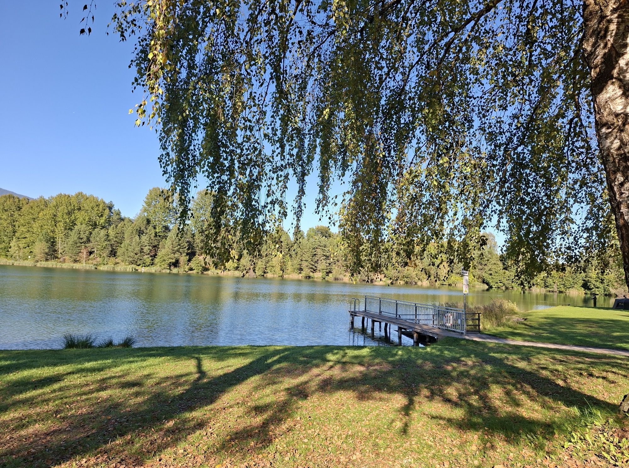
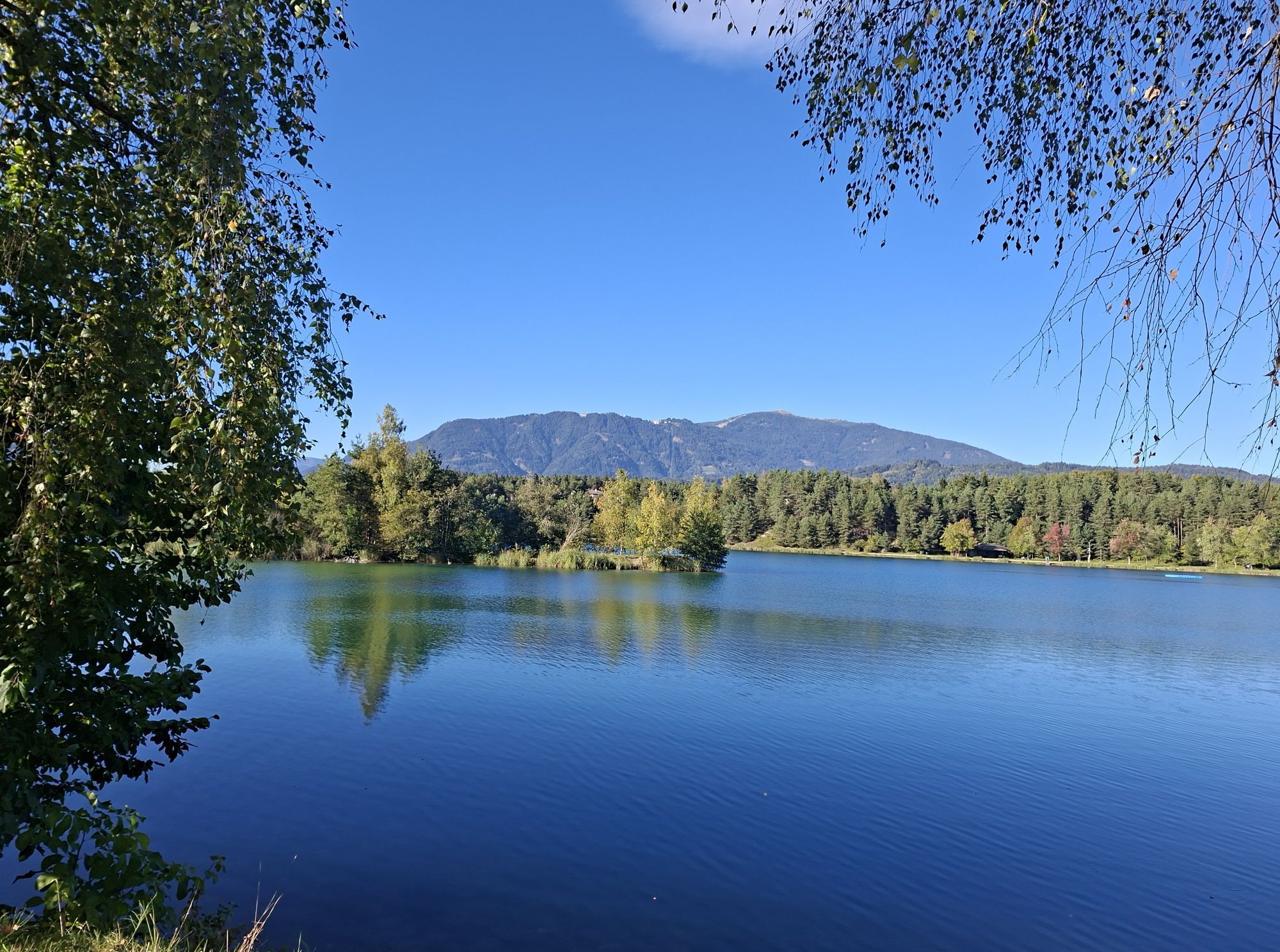
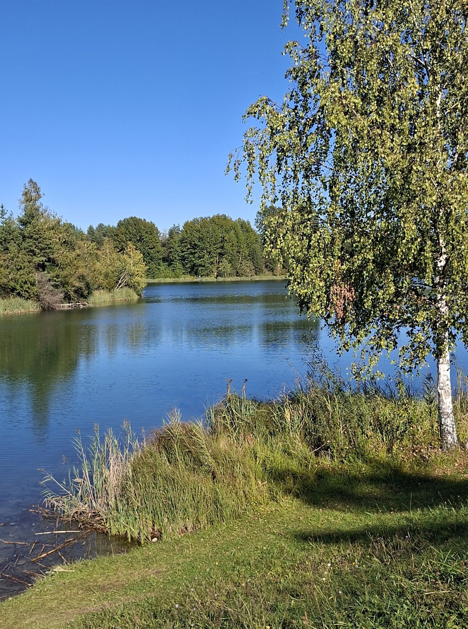
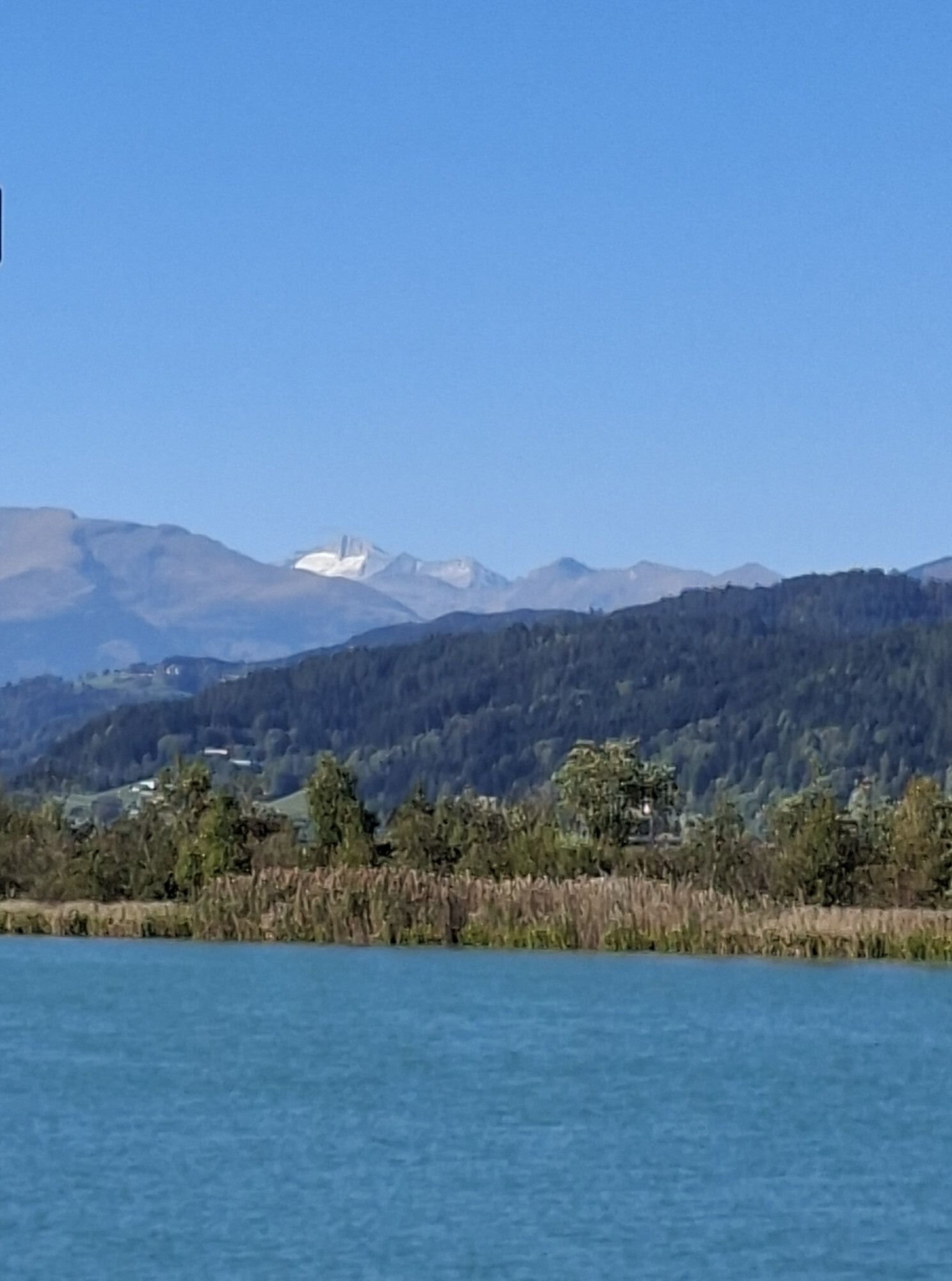
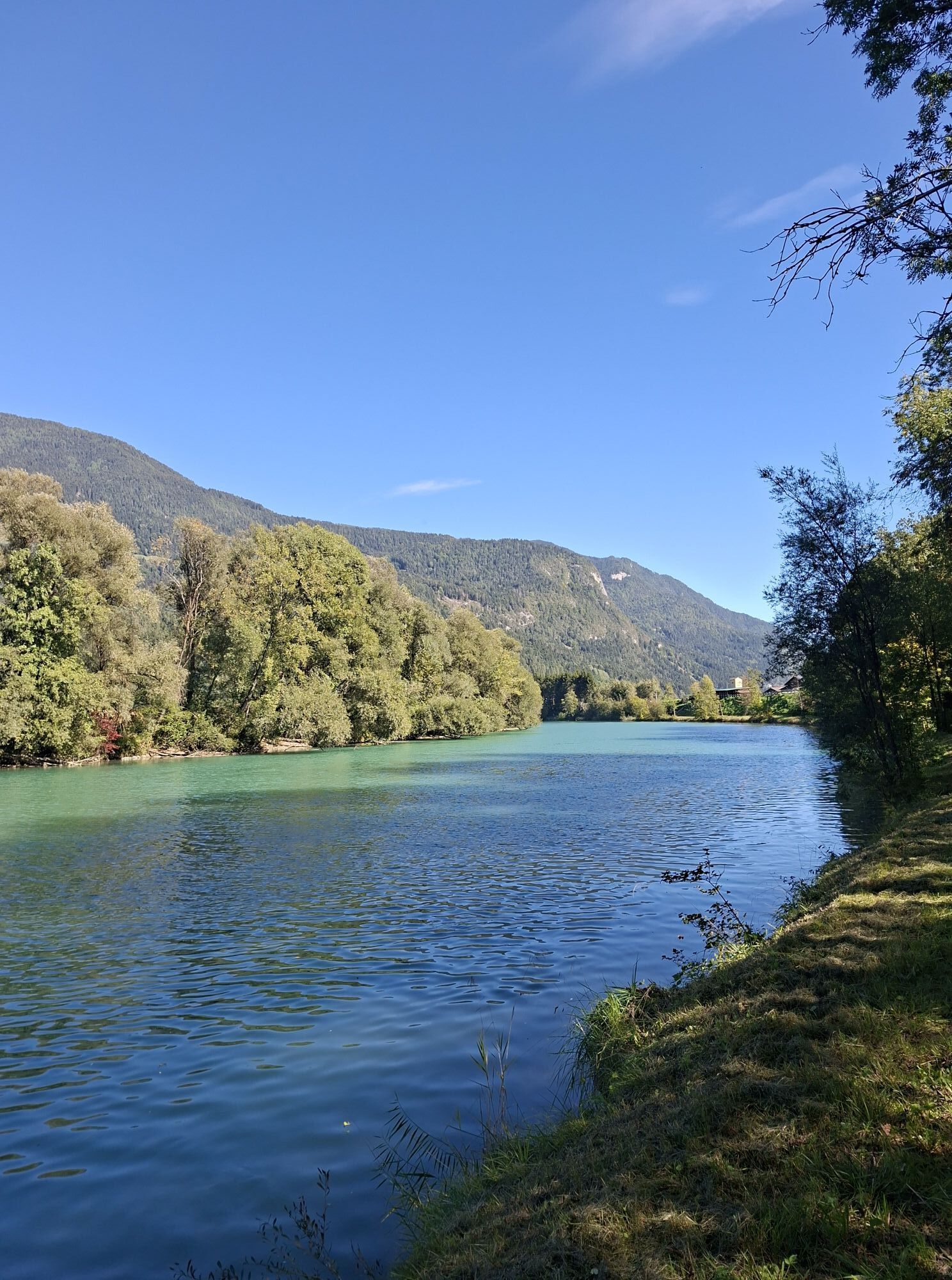
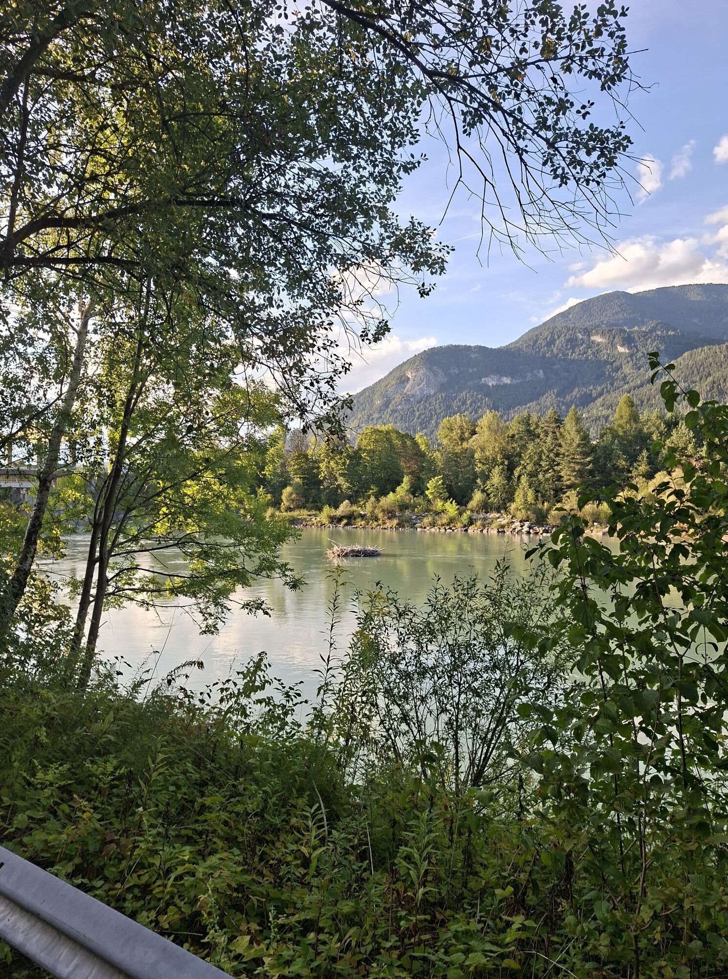
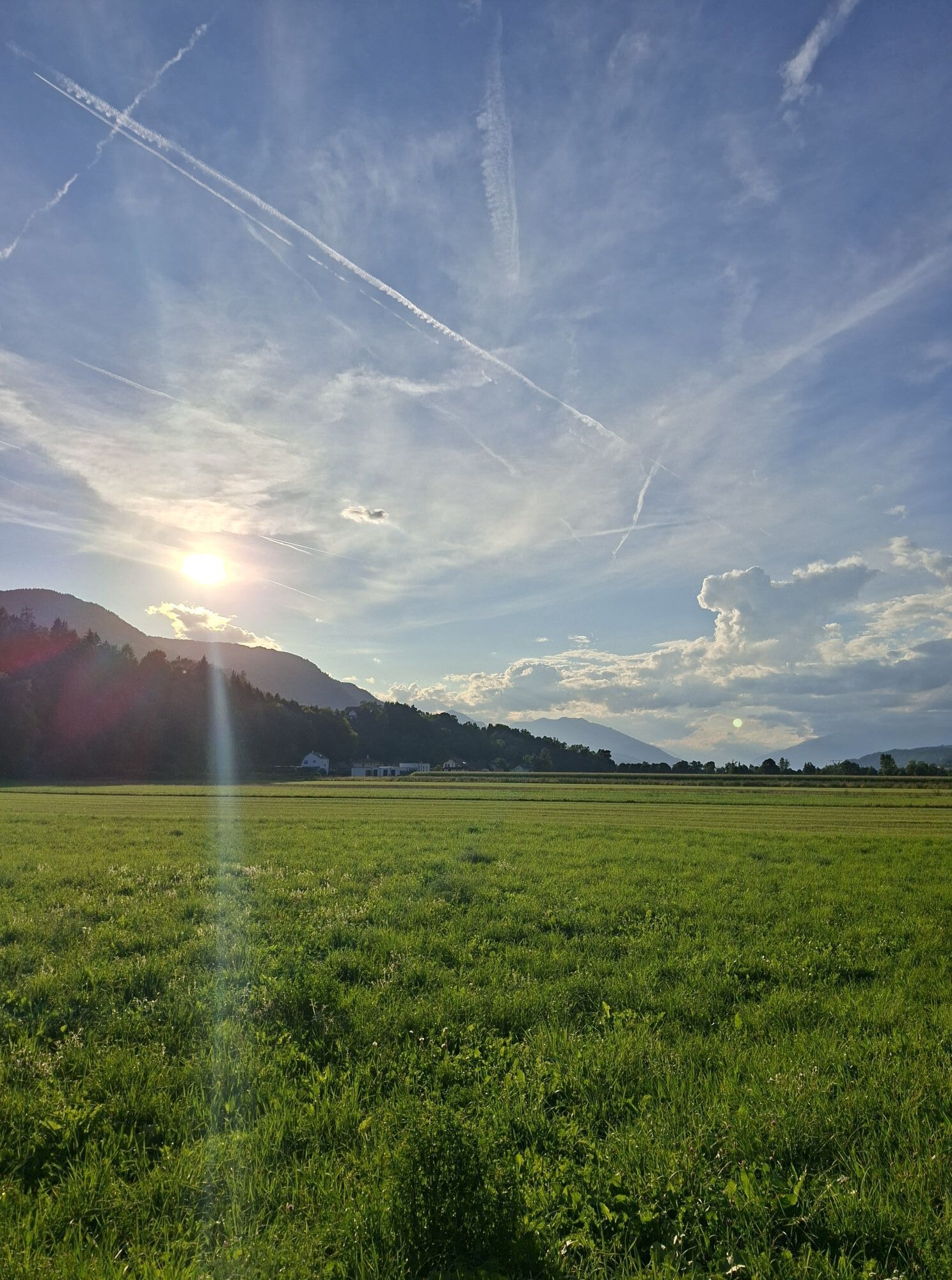
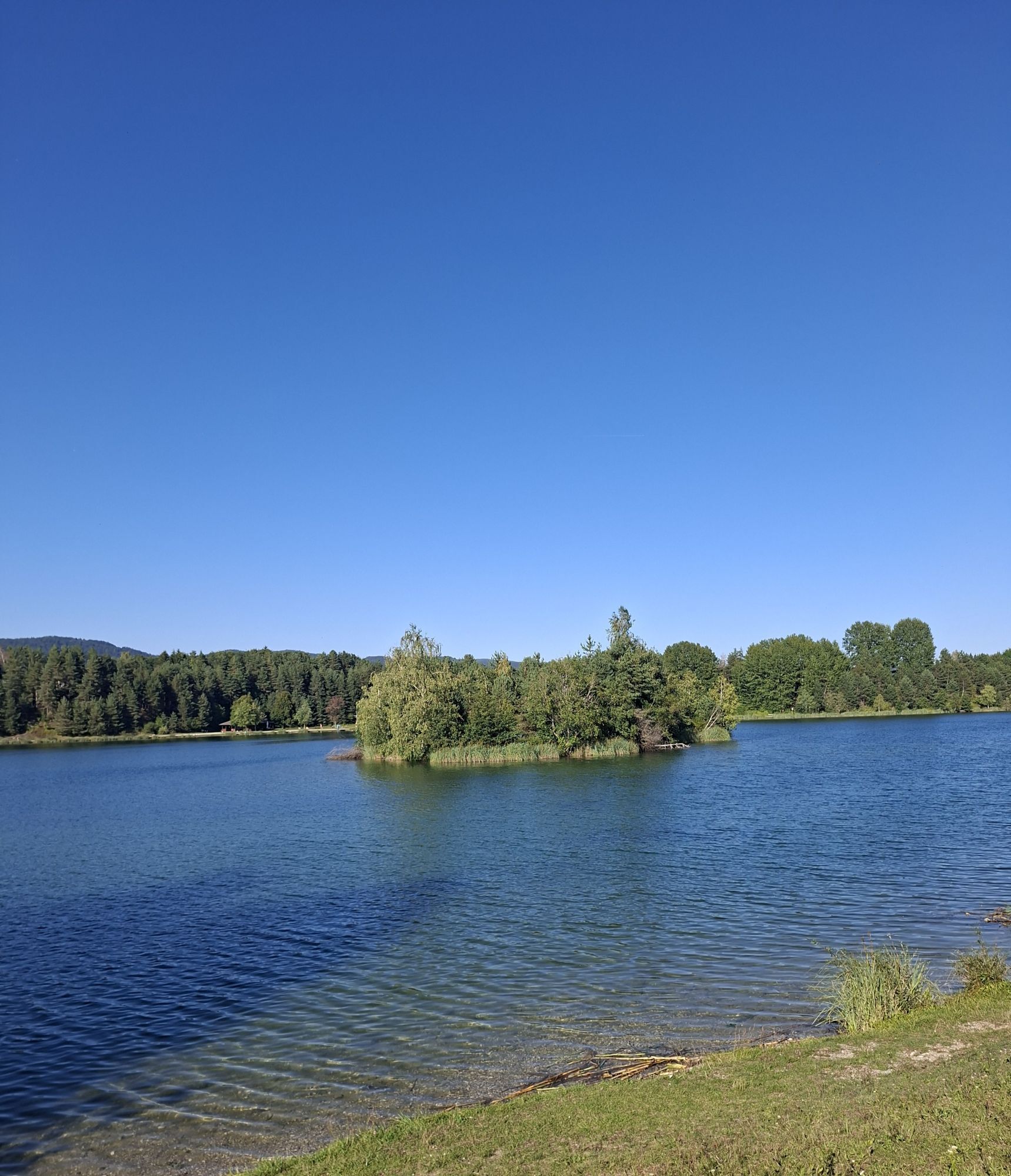
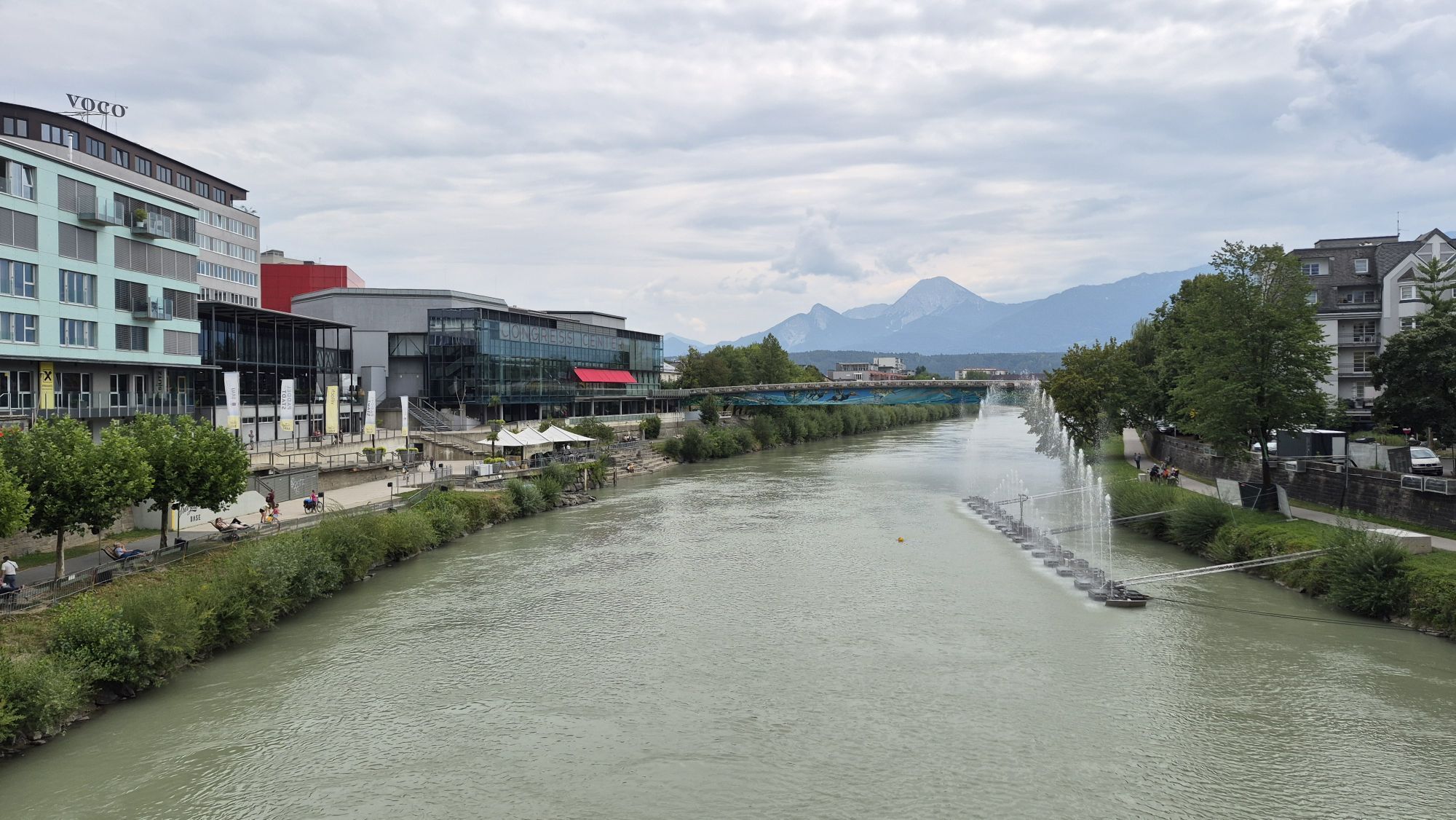
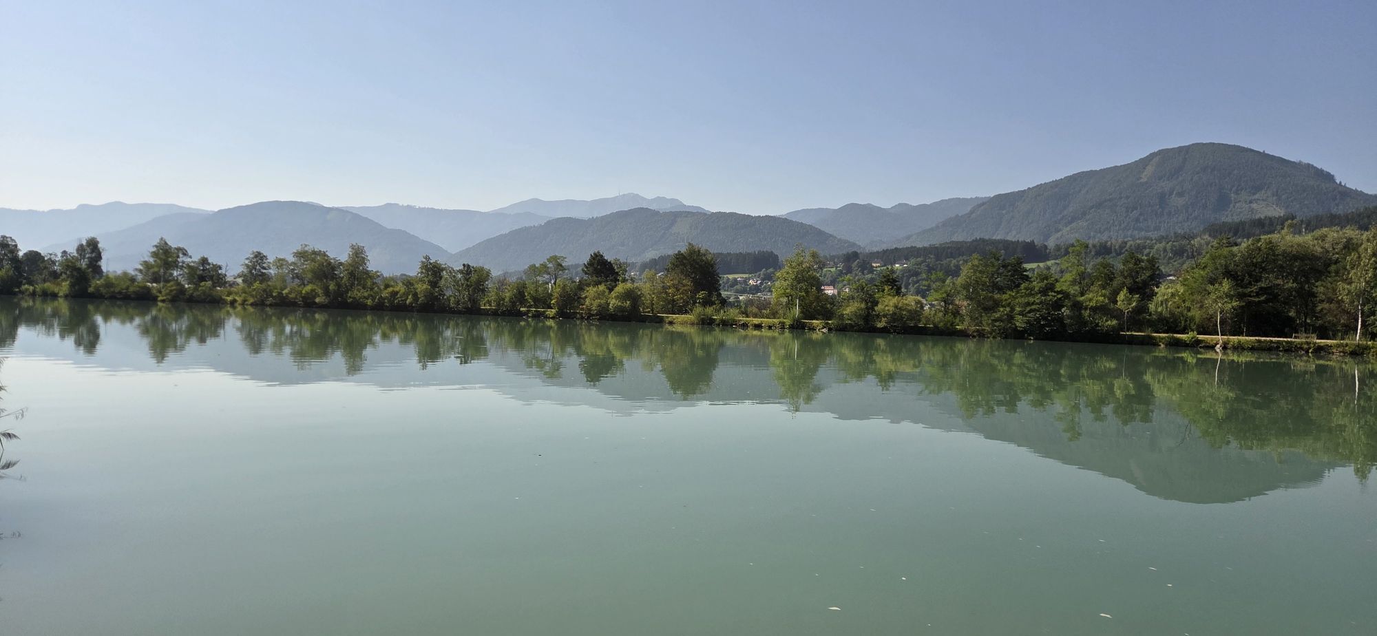
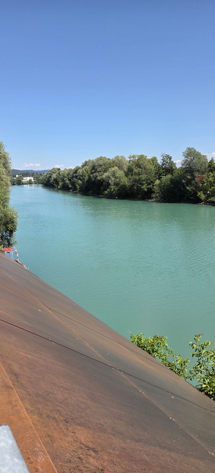
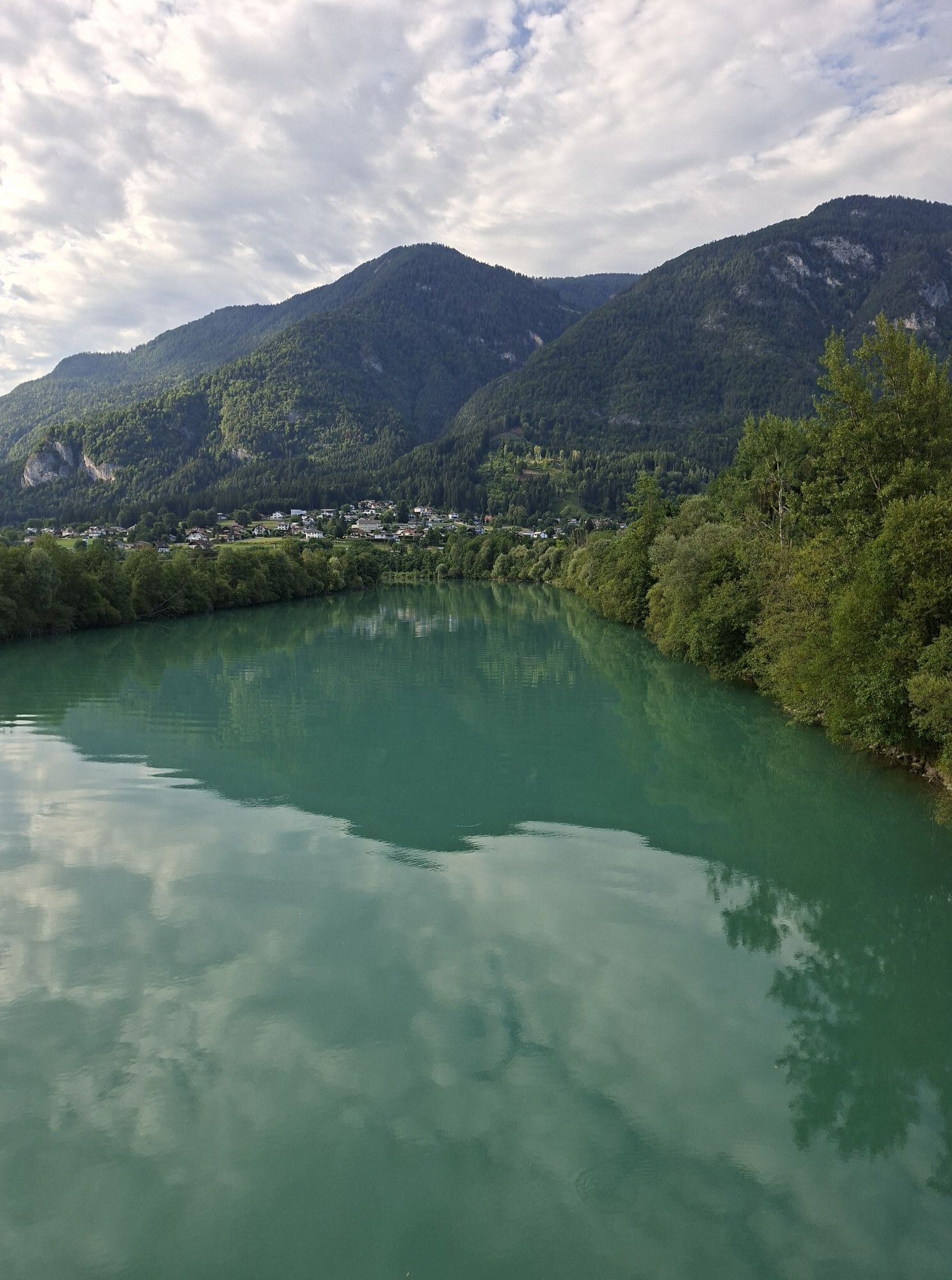
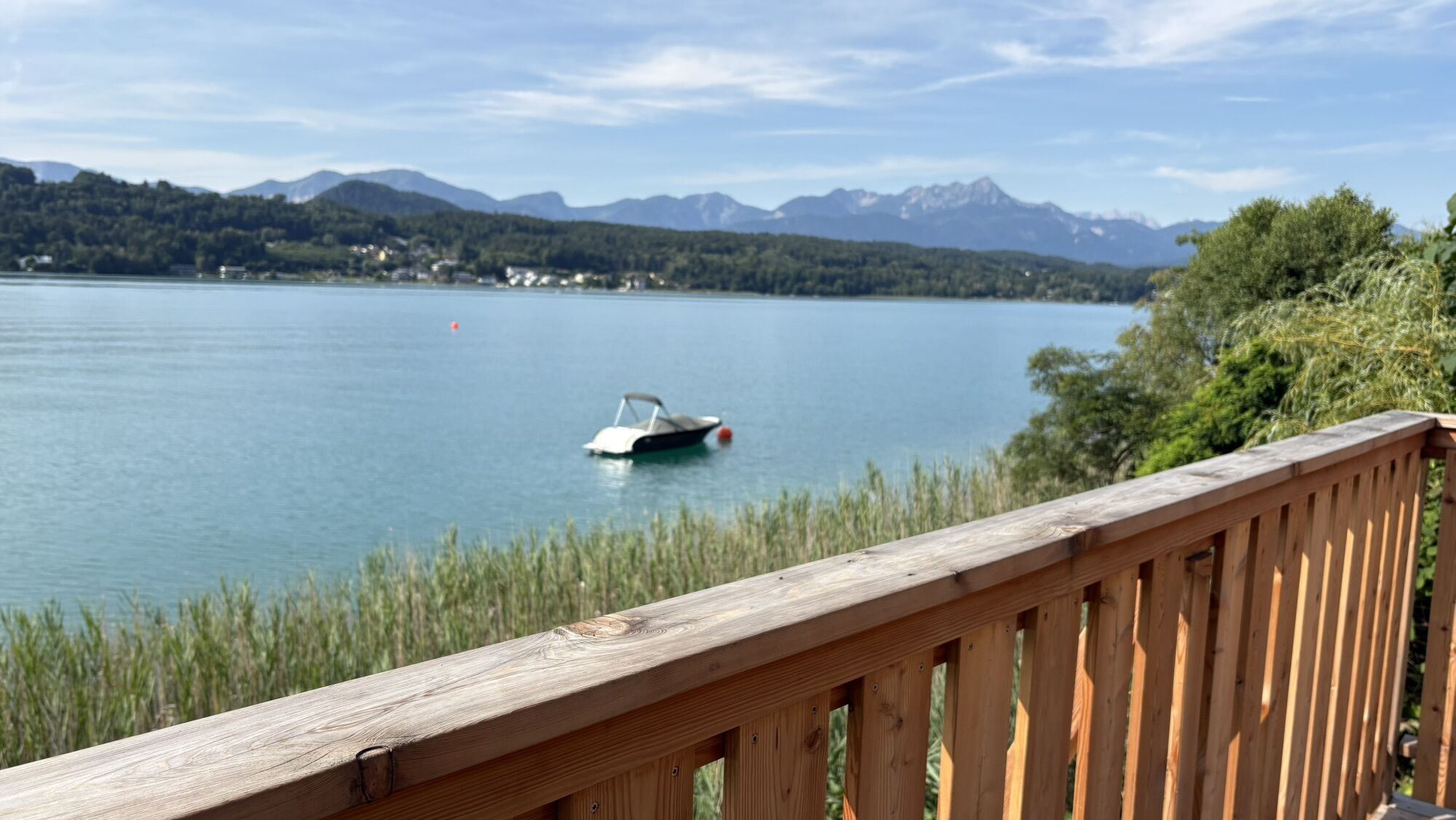
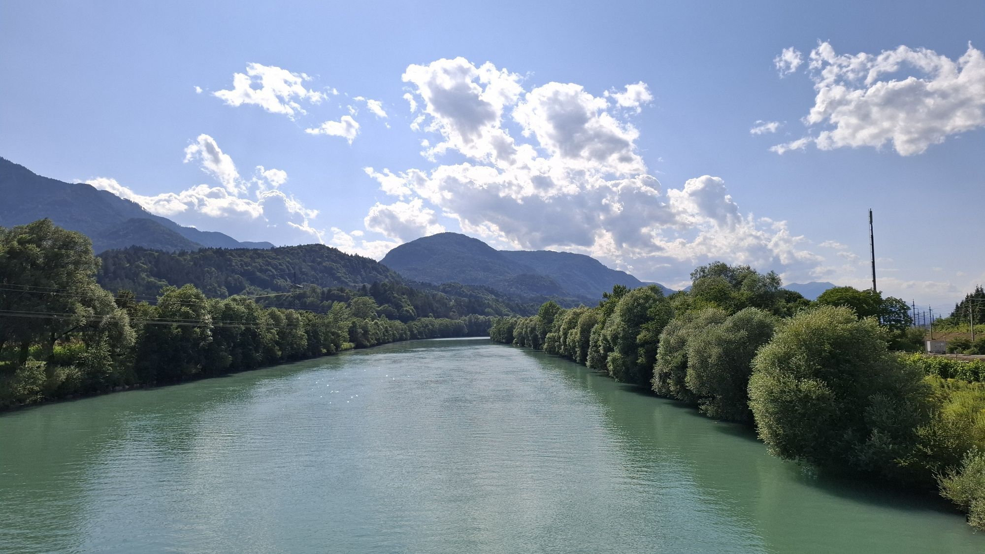
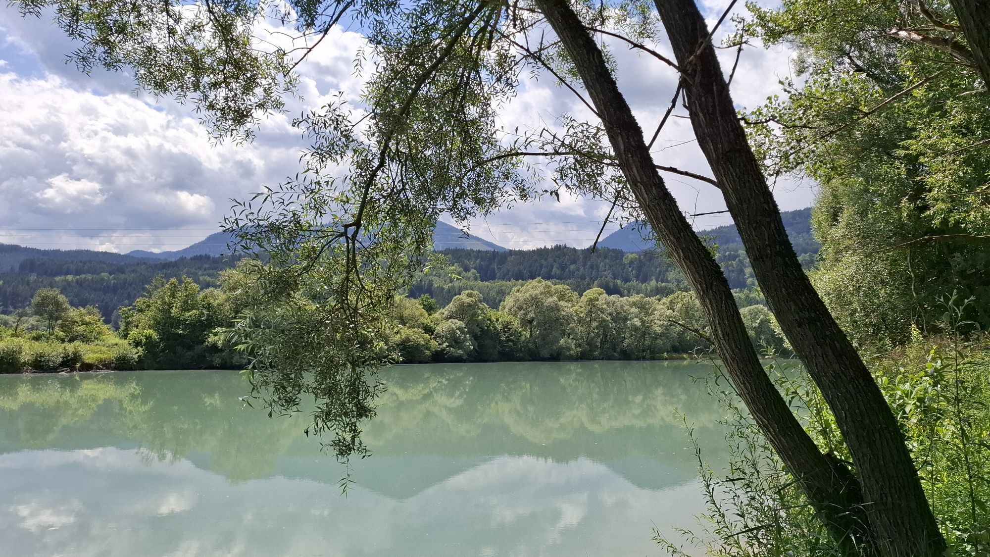
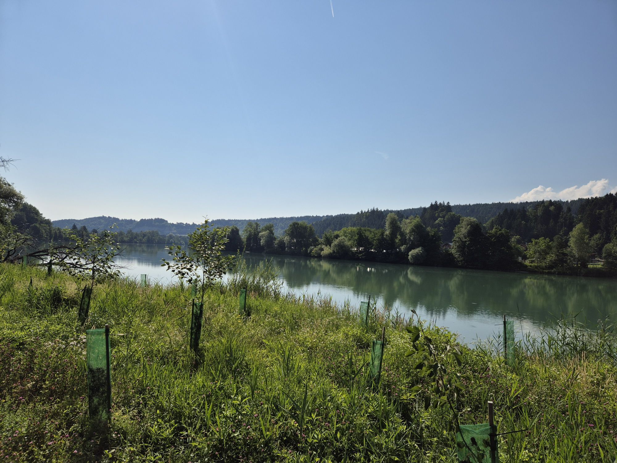
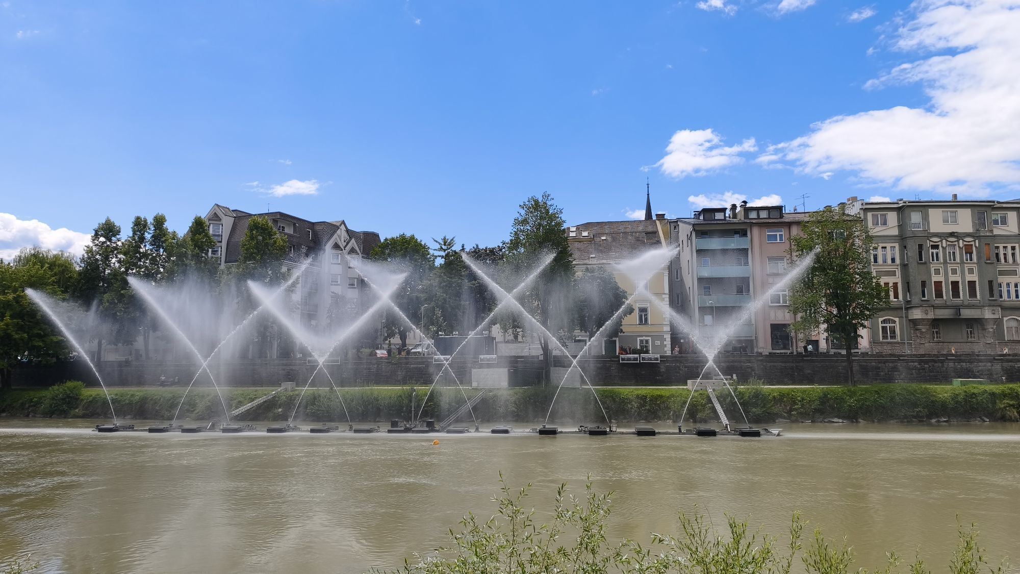
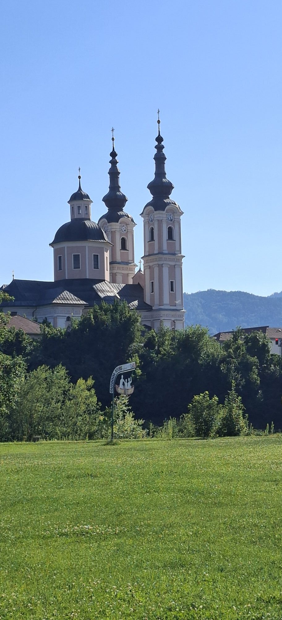
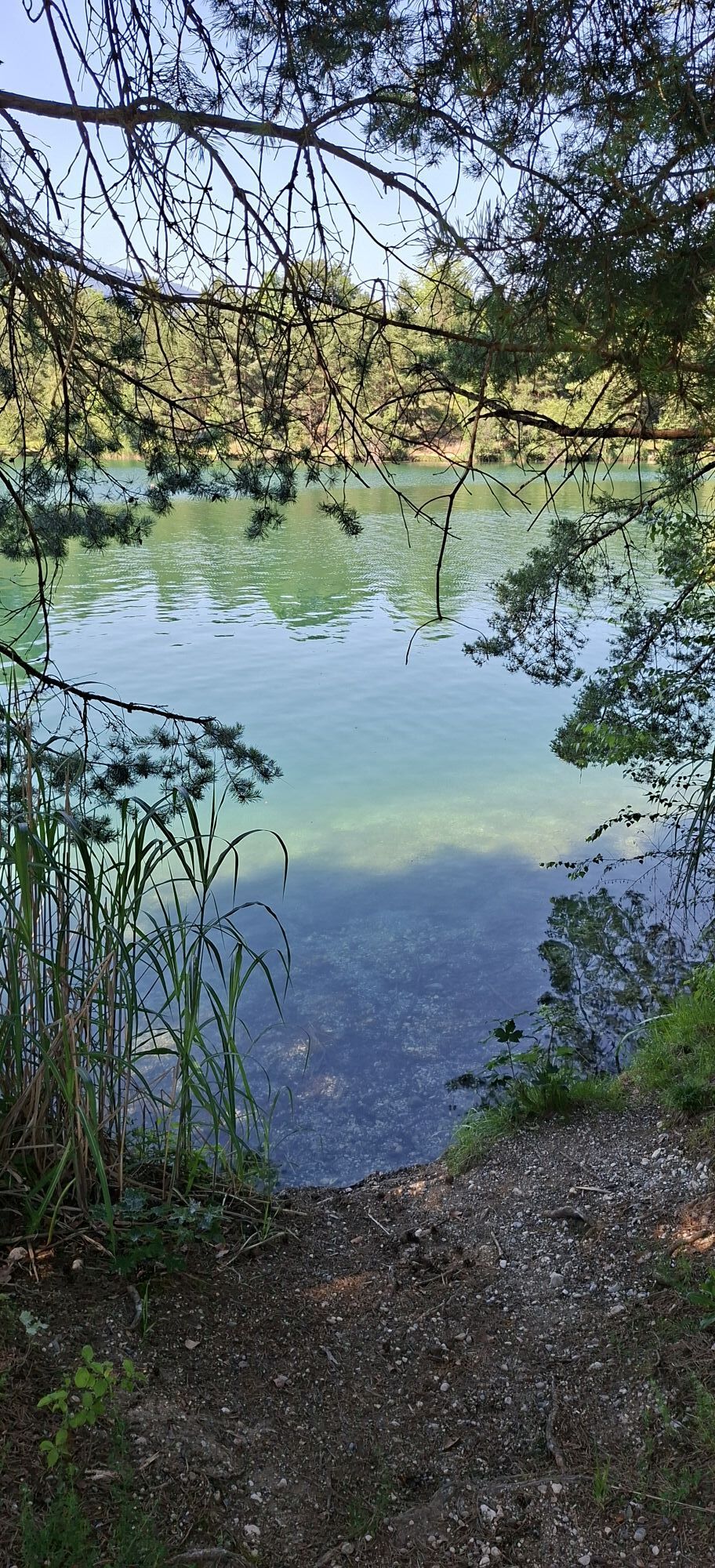
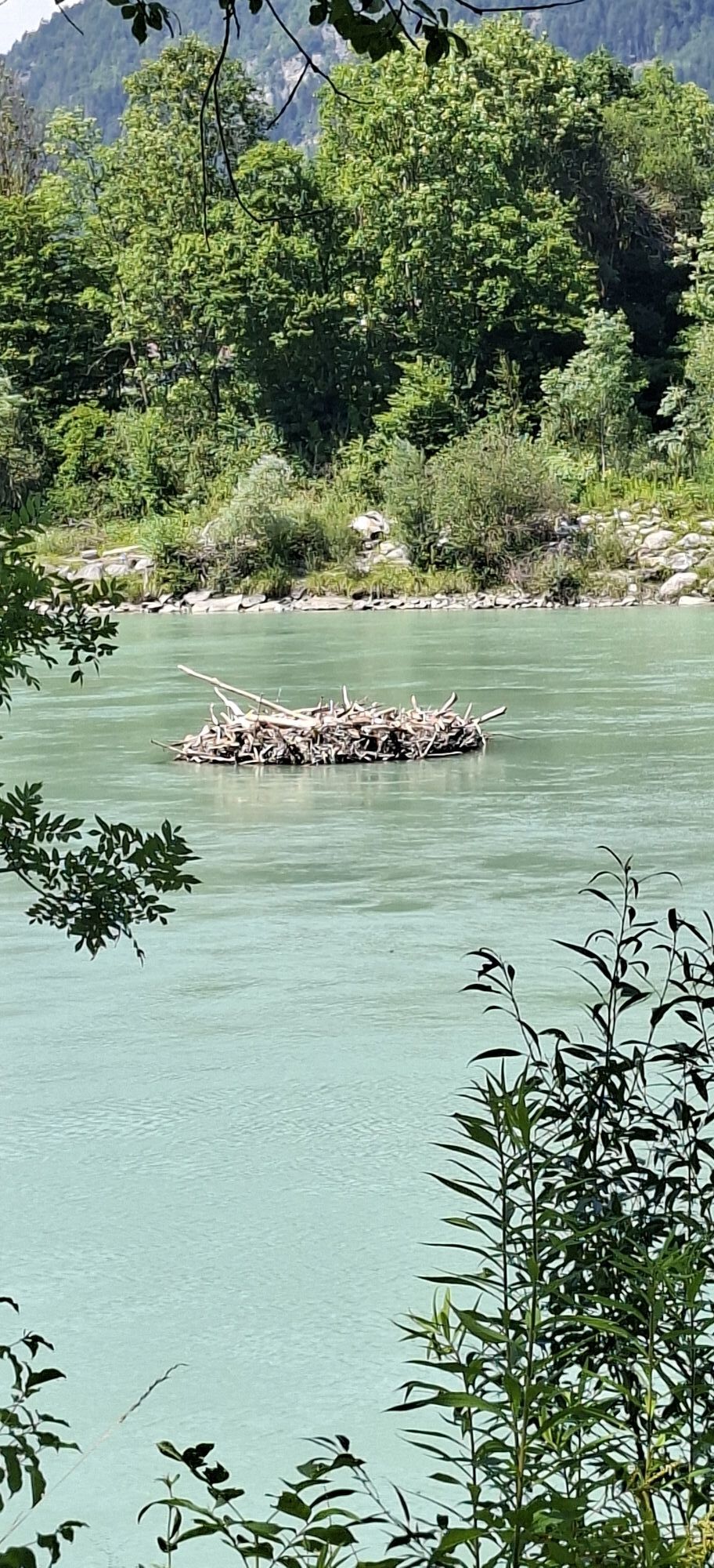
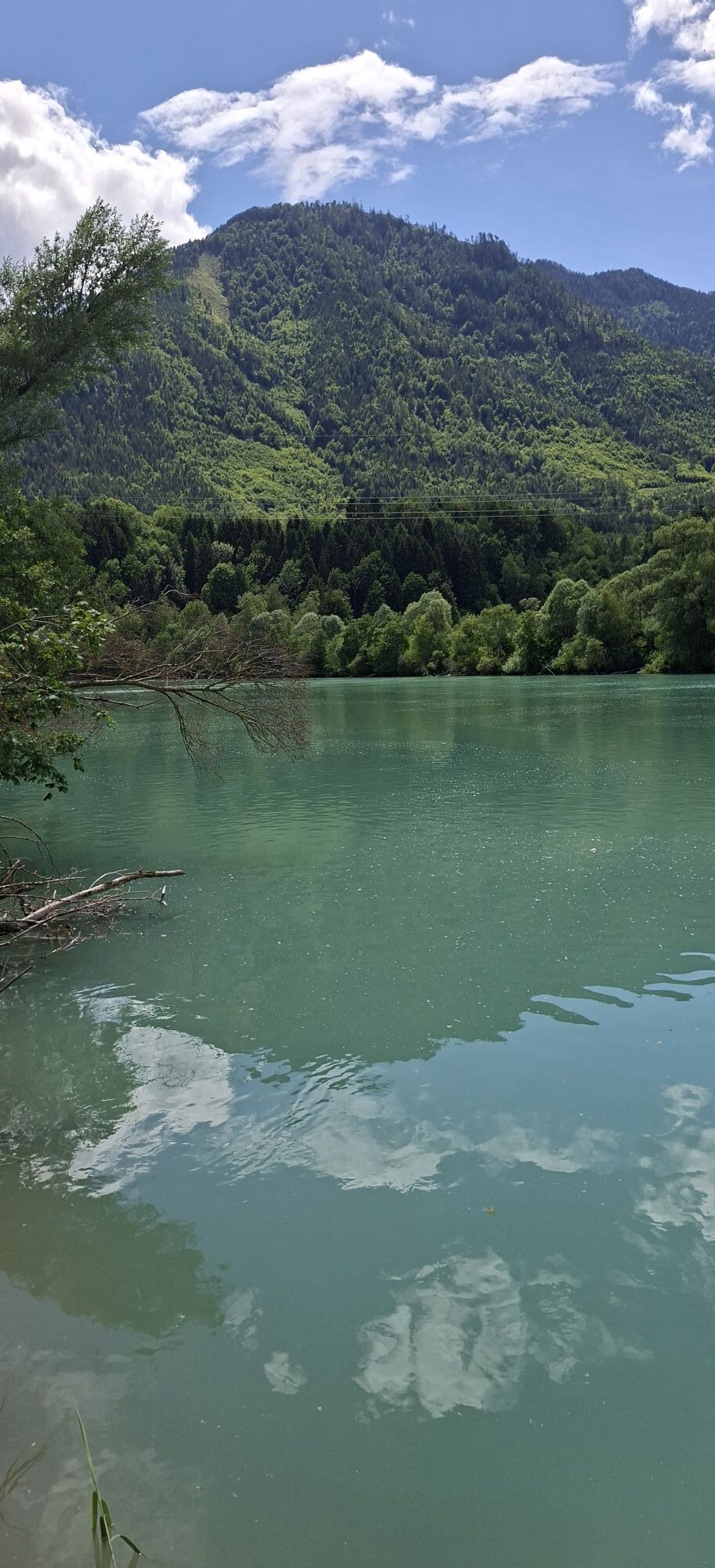
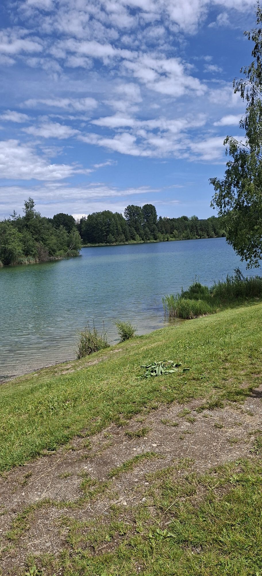
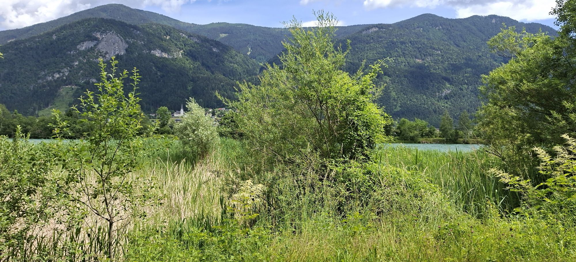
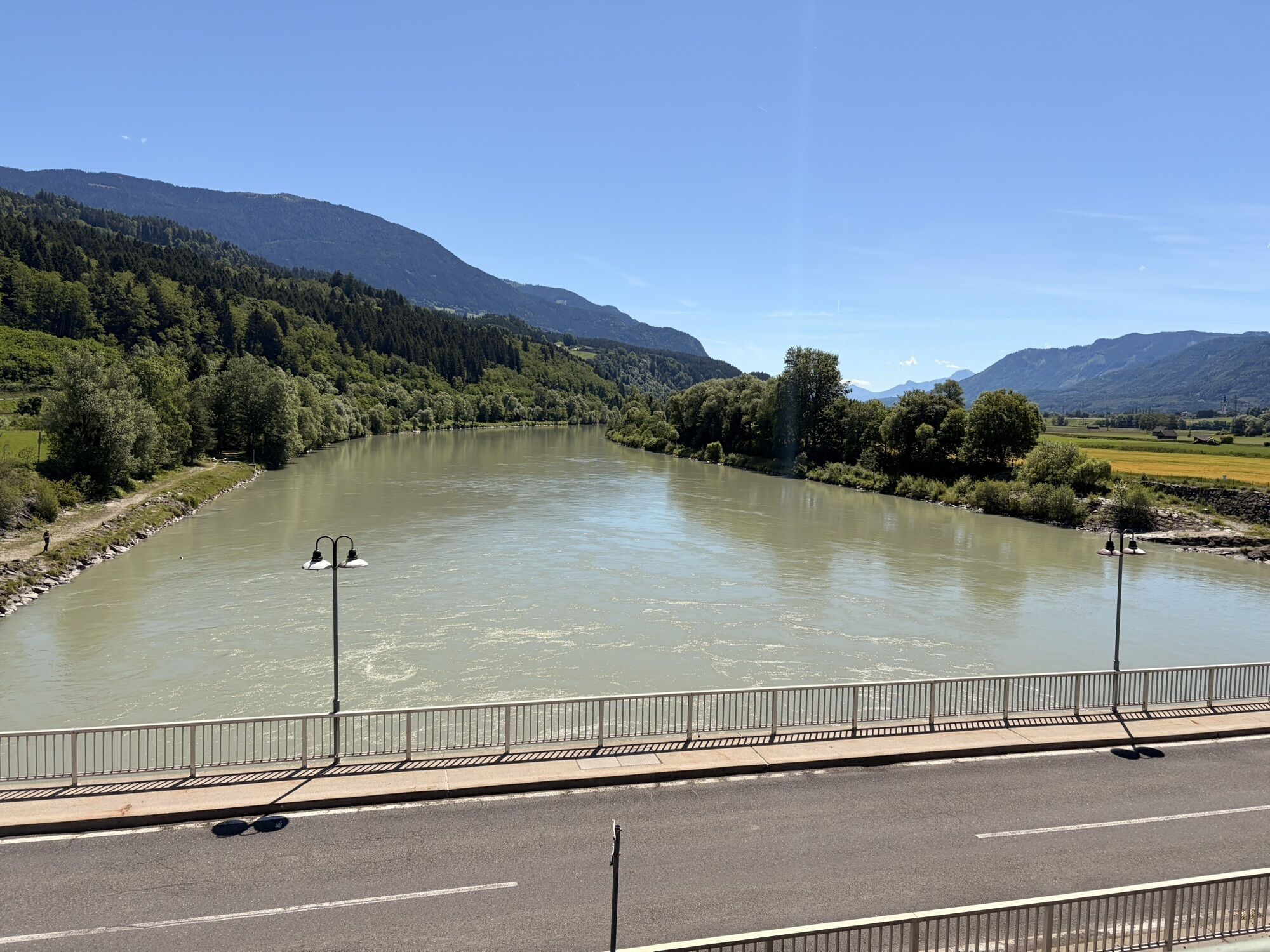
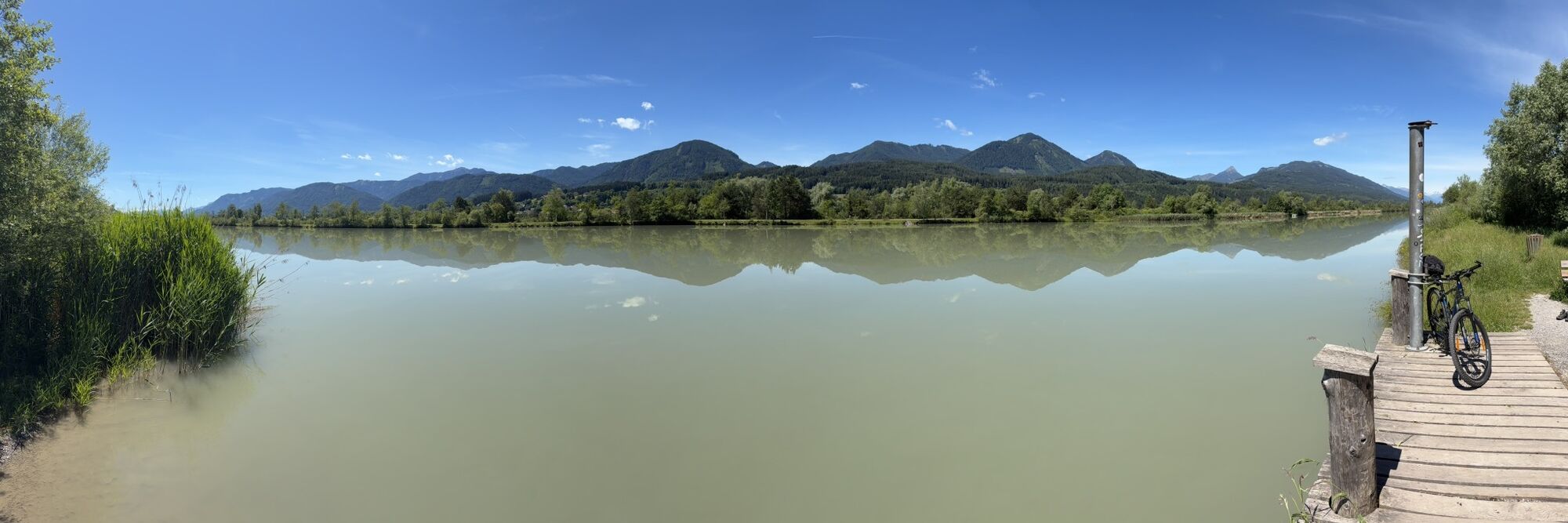
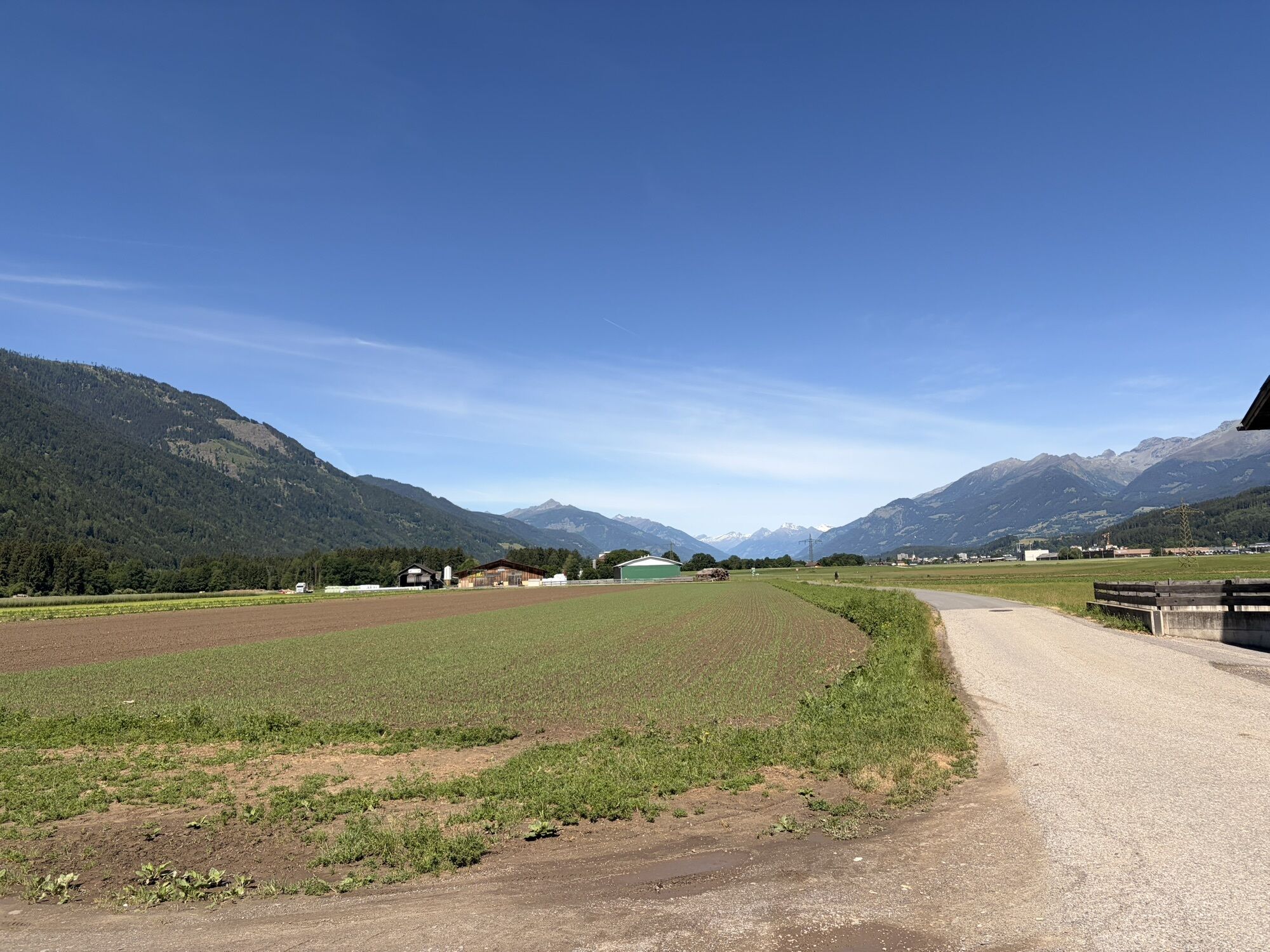
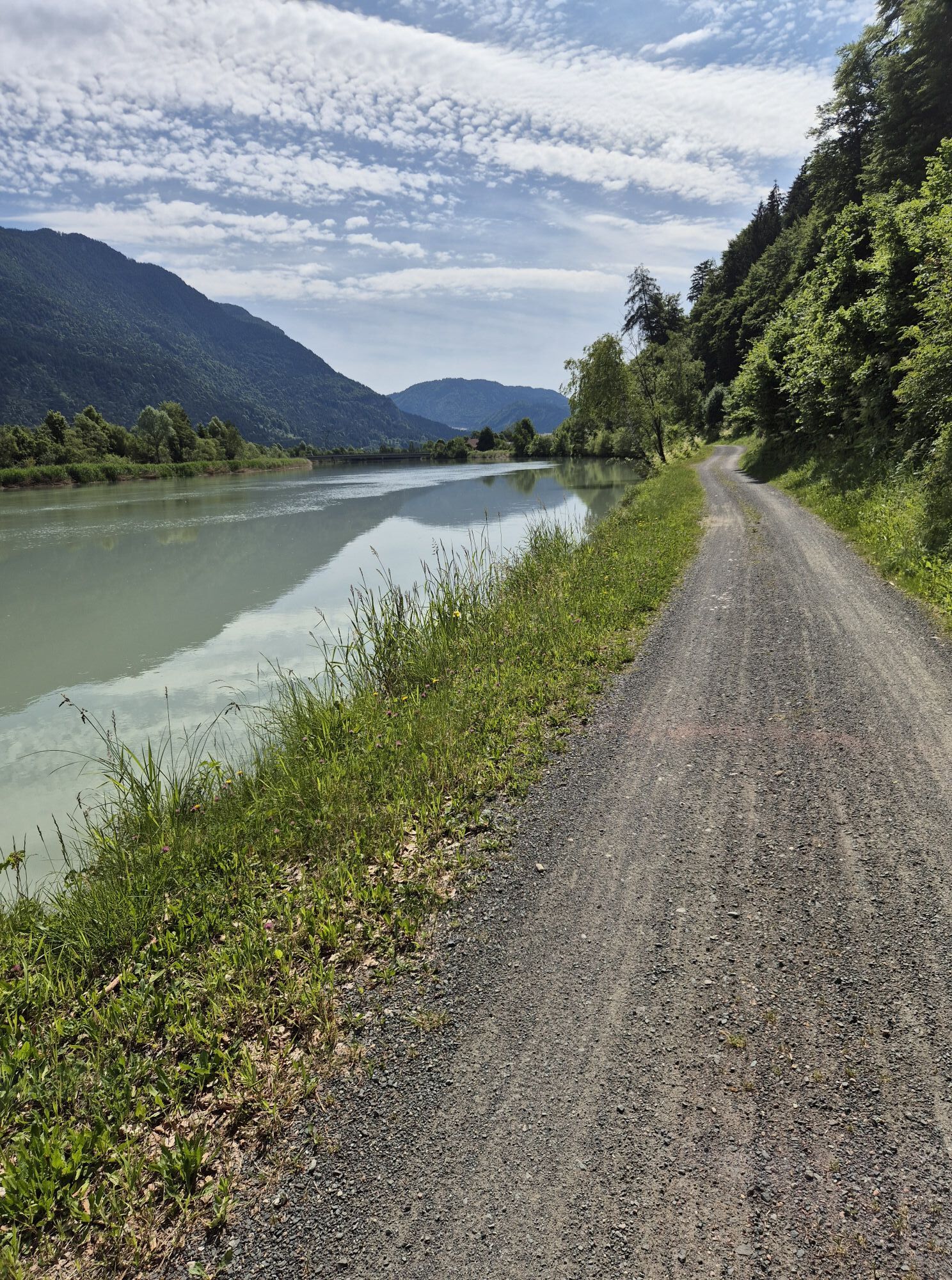
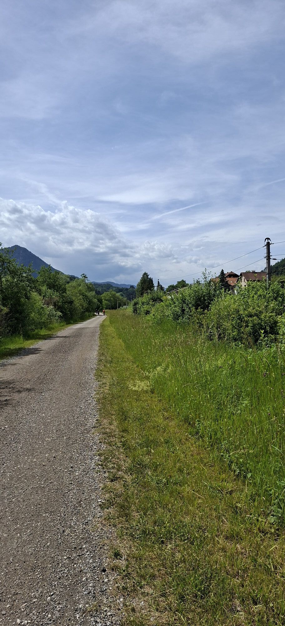
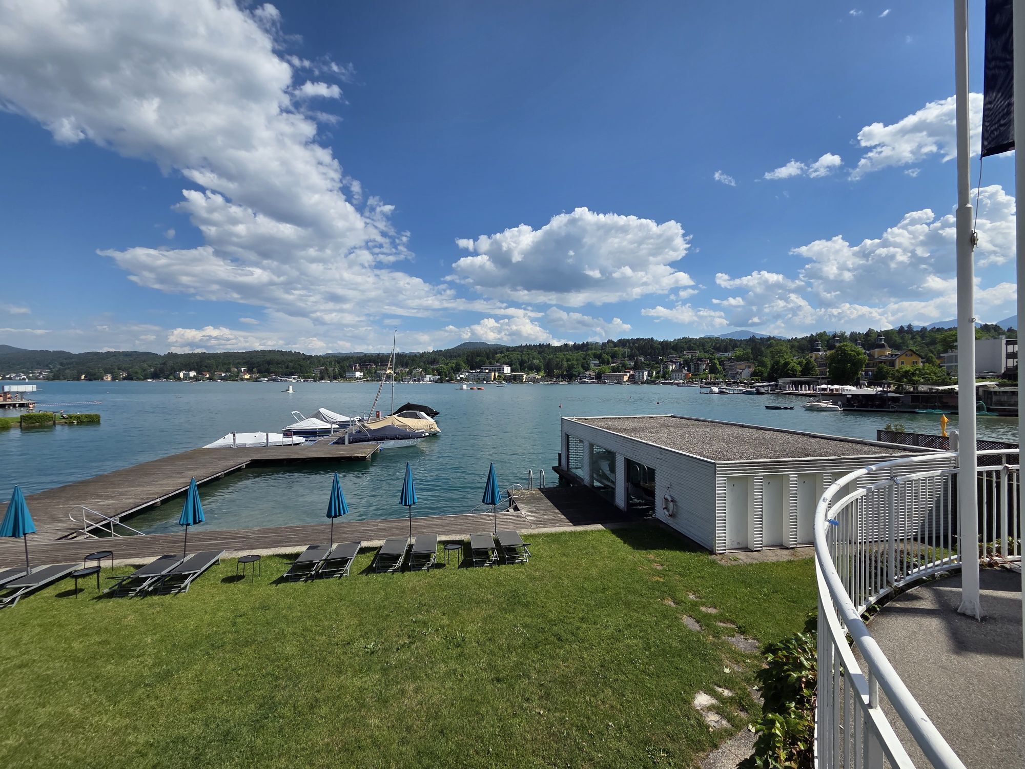
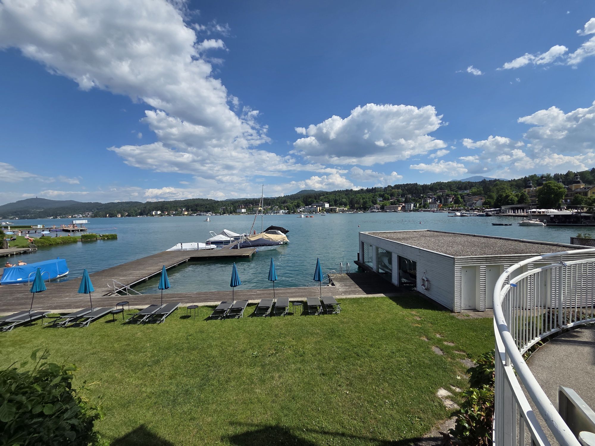
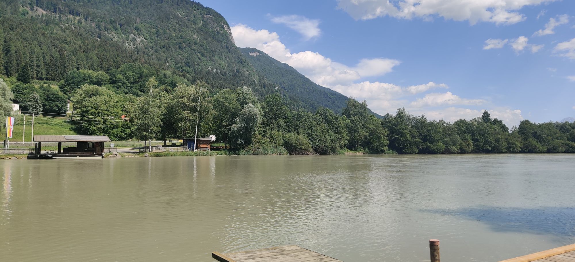
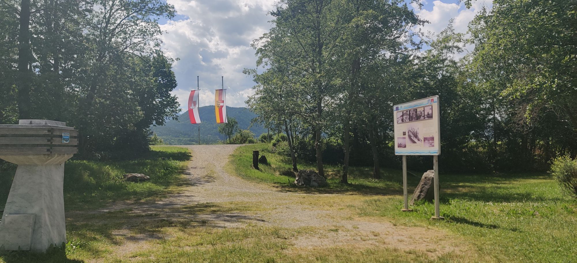
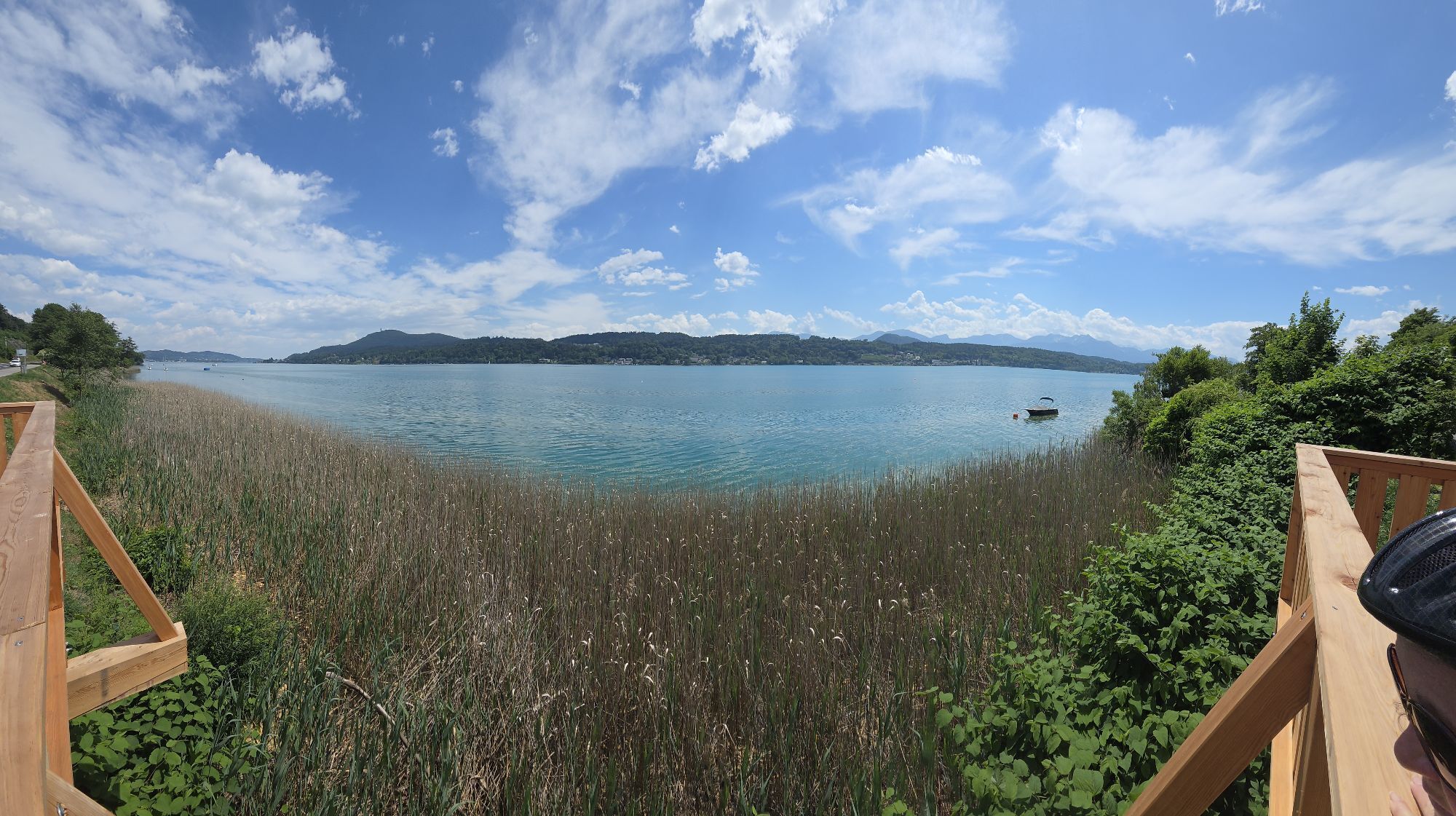
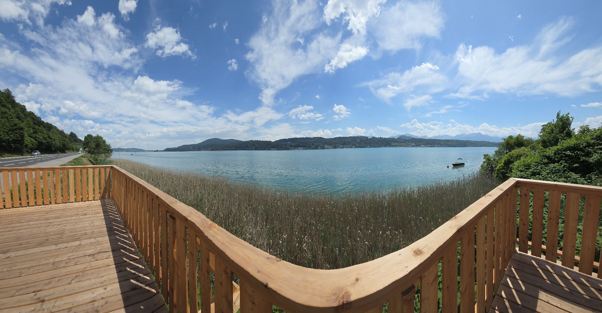
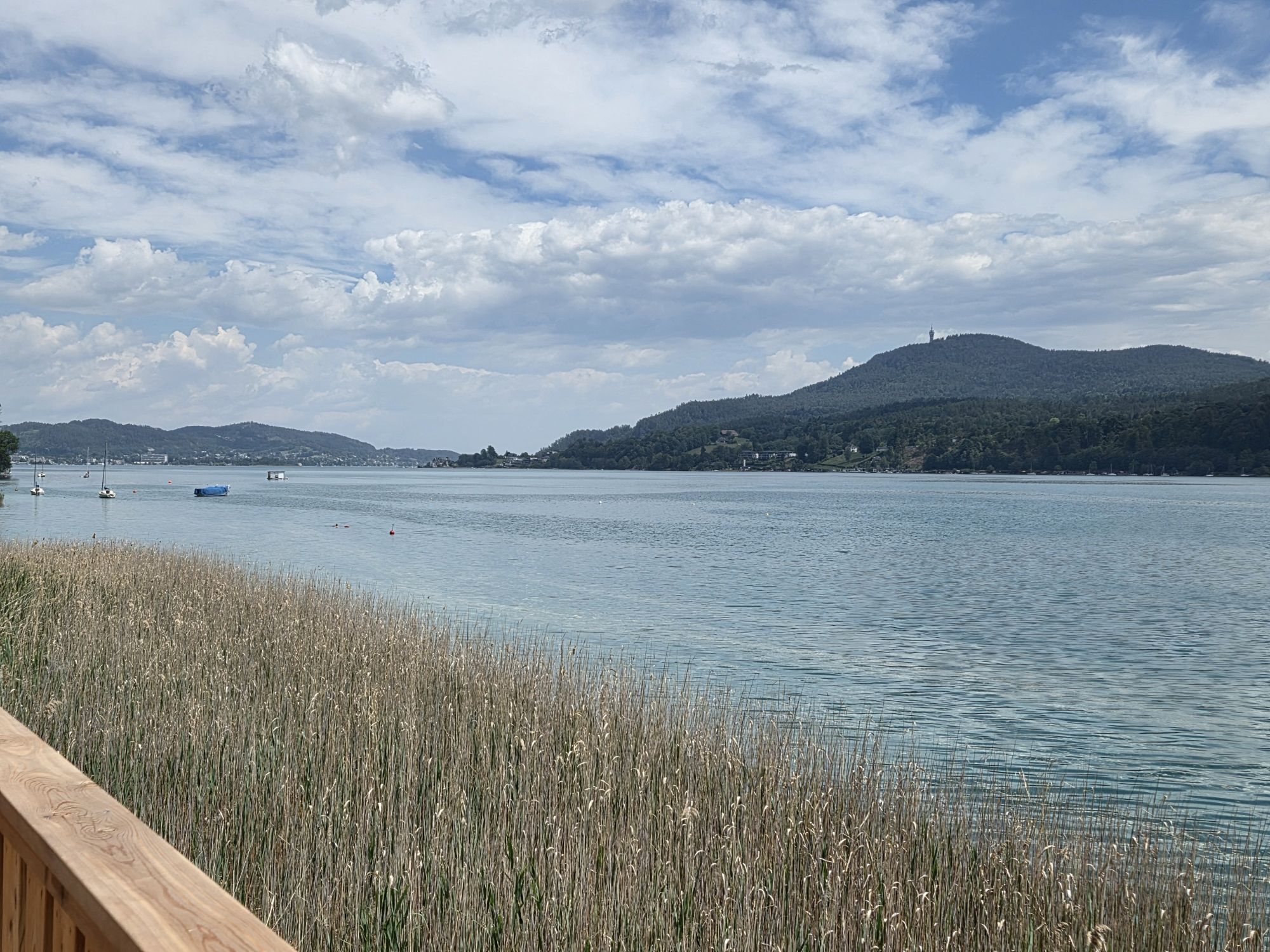
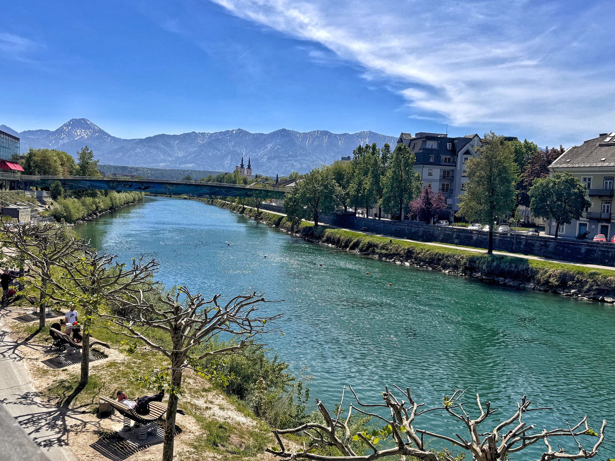
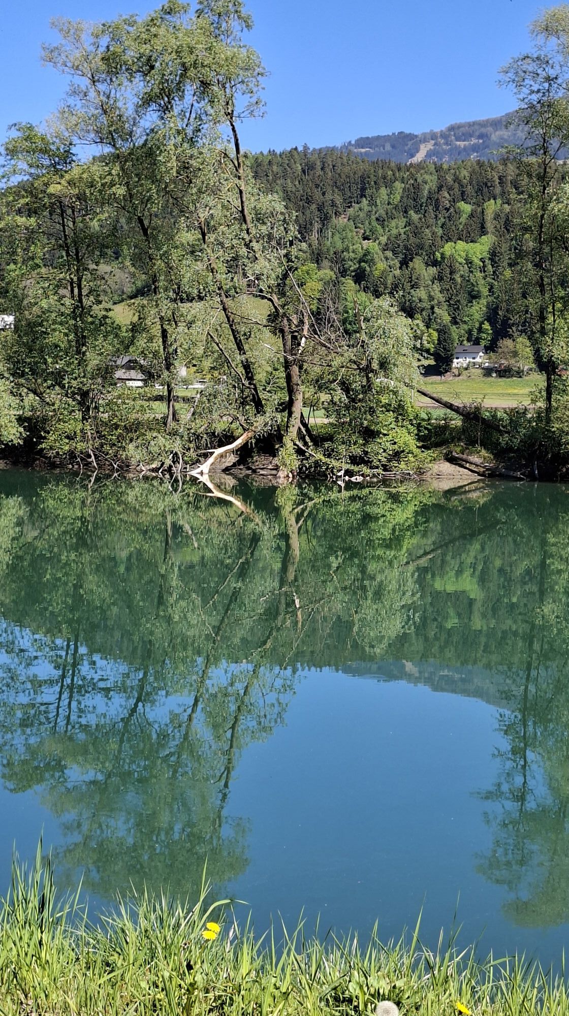
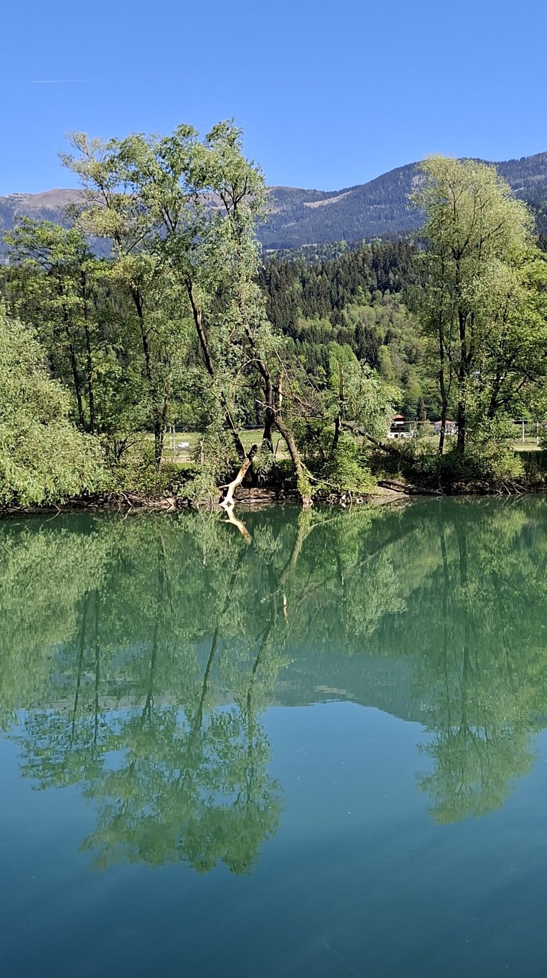
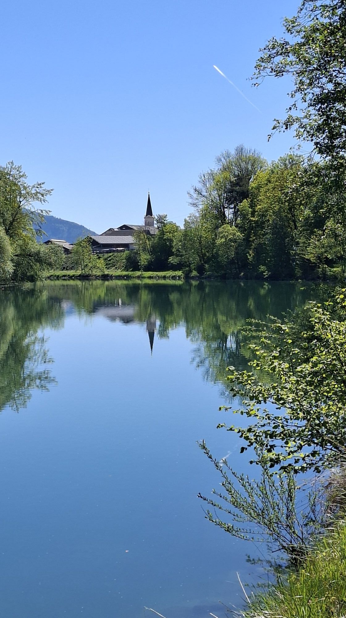
On the 2nd day of Velovista, the route first goes along Lake Wörthersee heading west to Velden on Lake Wörthersee. From there, the route continues towards Villach and along the Drau cycle path through...
On the 2nd day of Velovista, the route first goes along Lake Wörthersee heading west to Velden on Lake Wörthersee. From there, the route continues towards Villach and along the Drau cycle path through the Drava Valley to Spittal. The stage is mostly flat; the section from Velden to Föderlach is rolling. No major obstacles await participants on this day.

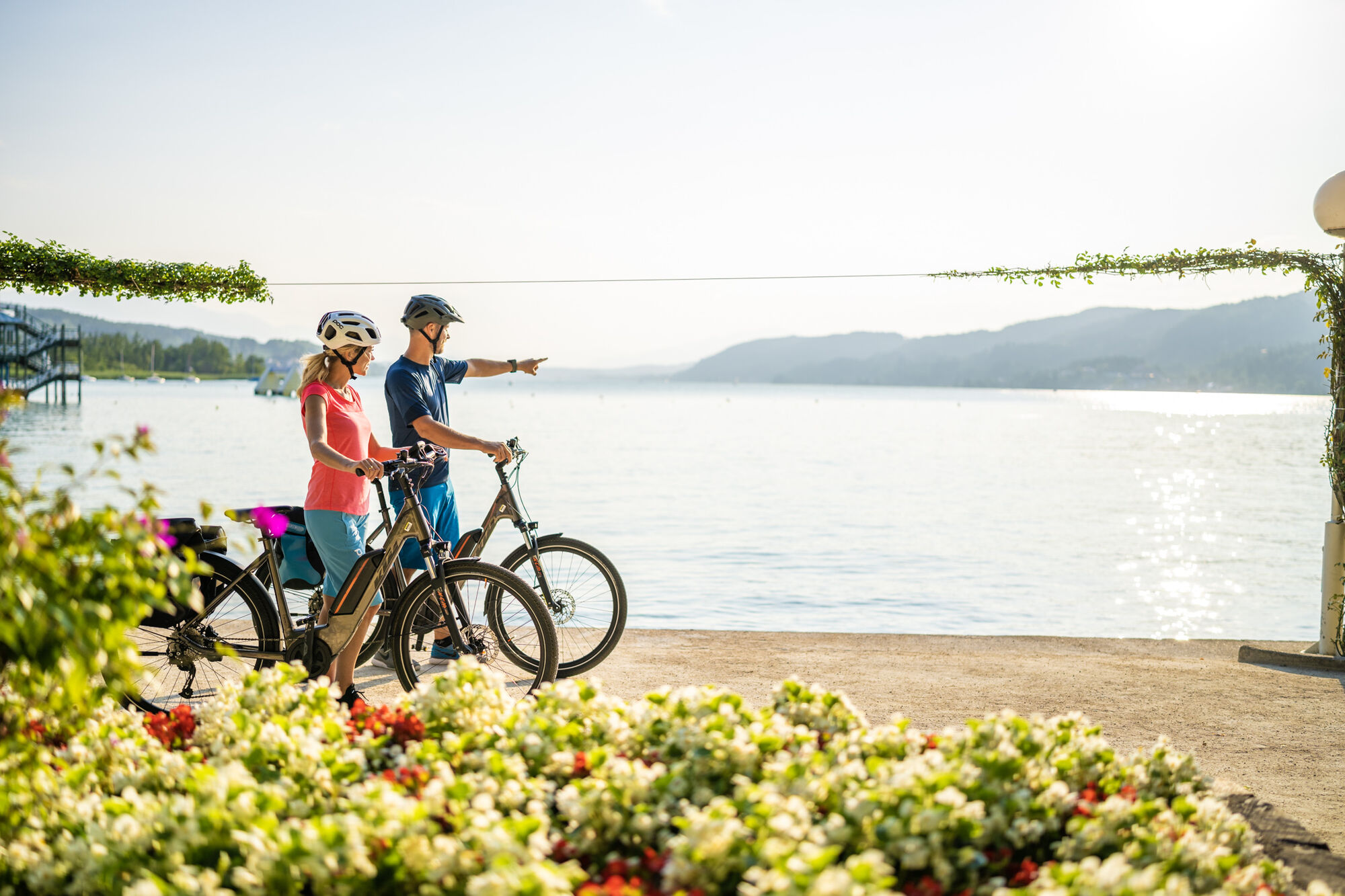
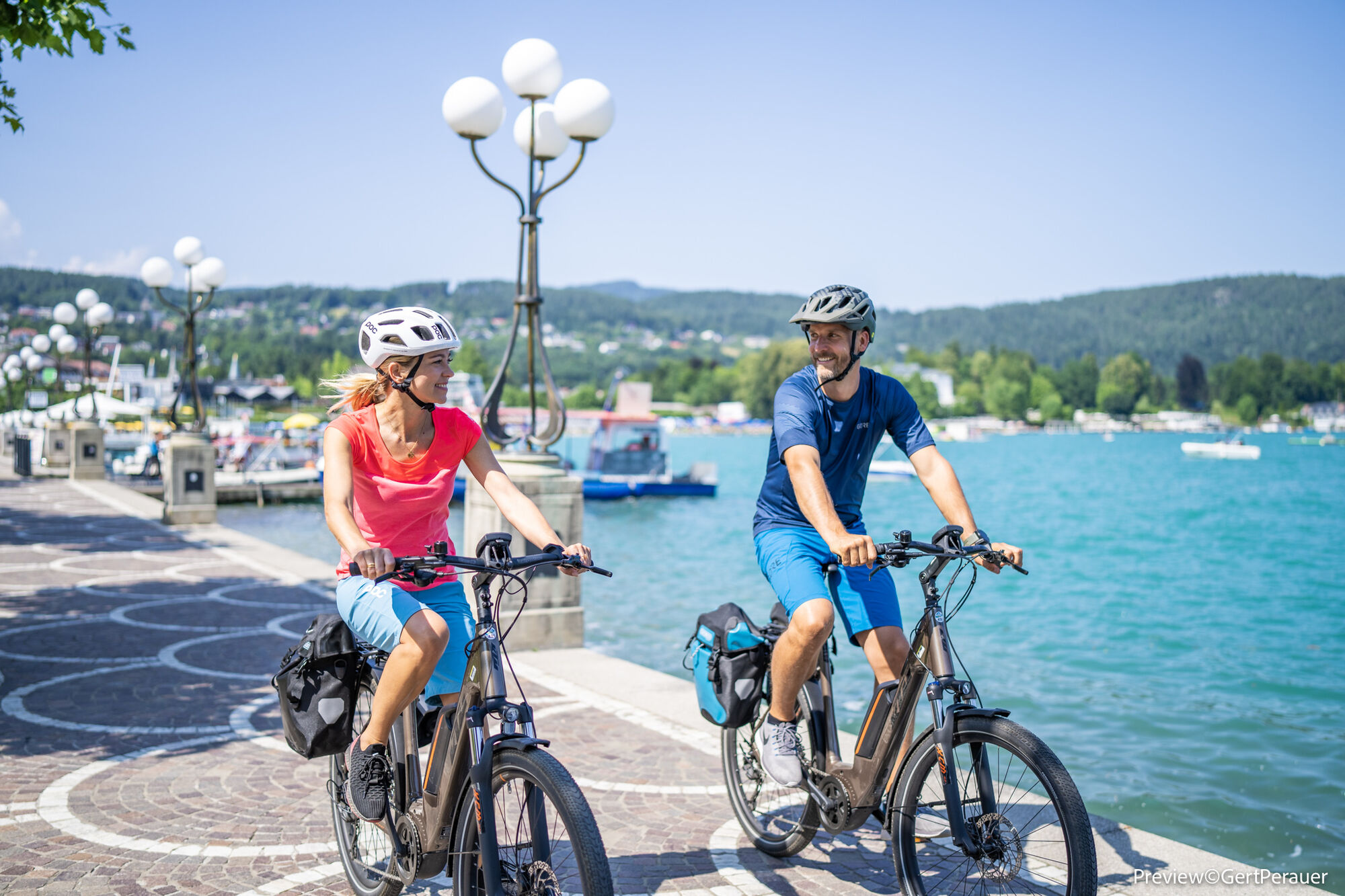
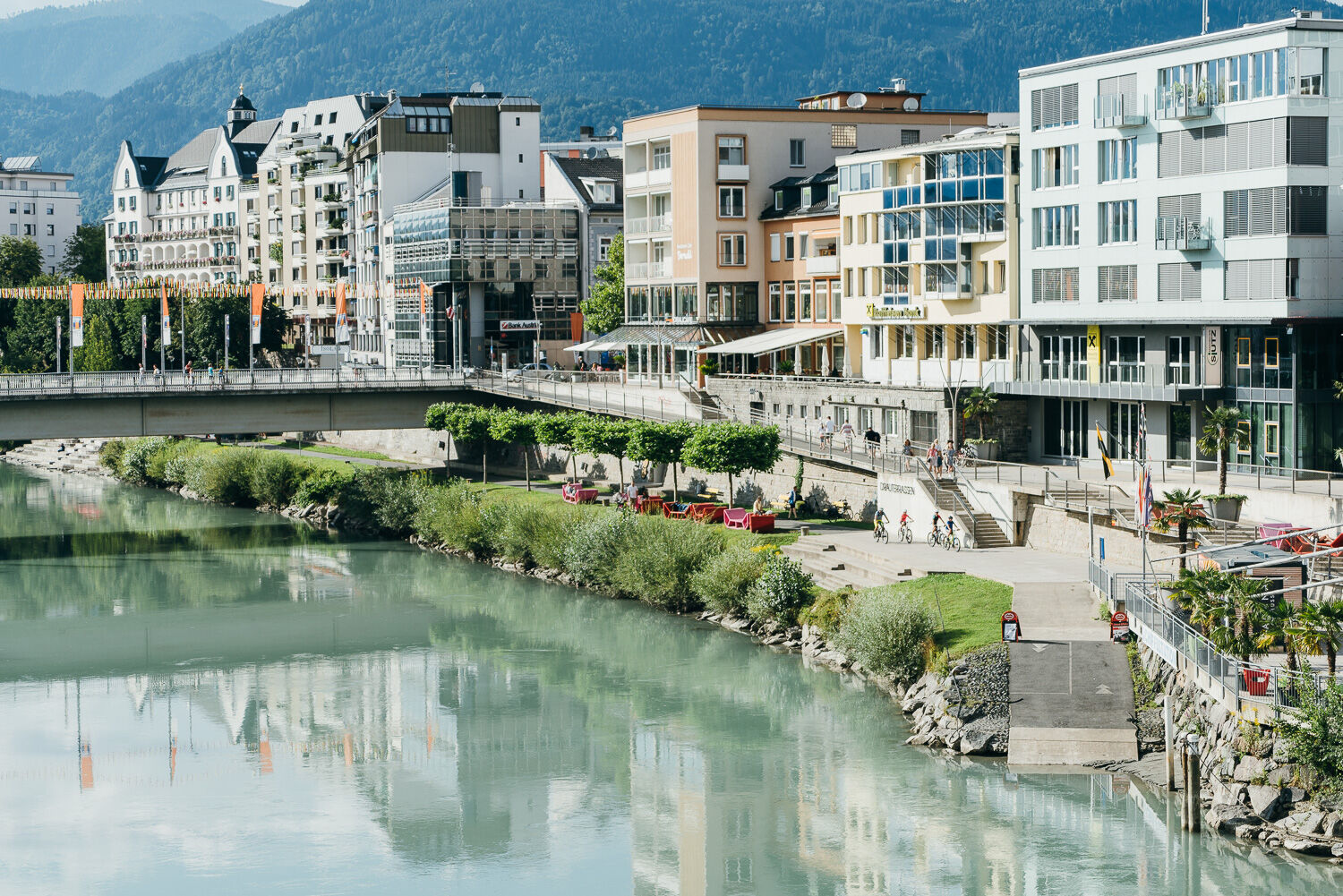
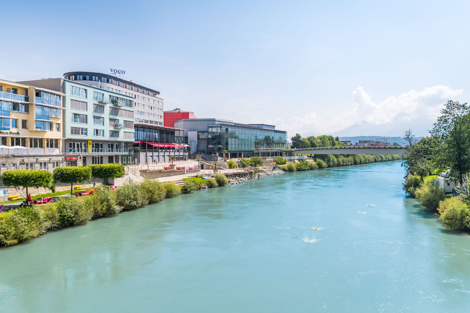
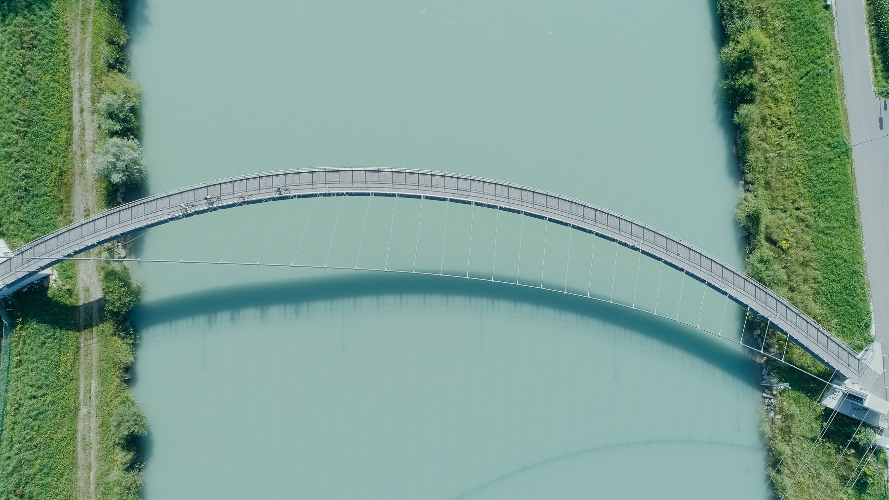
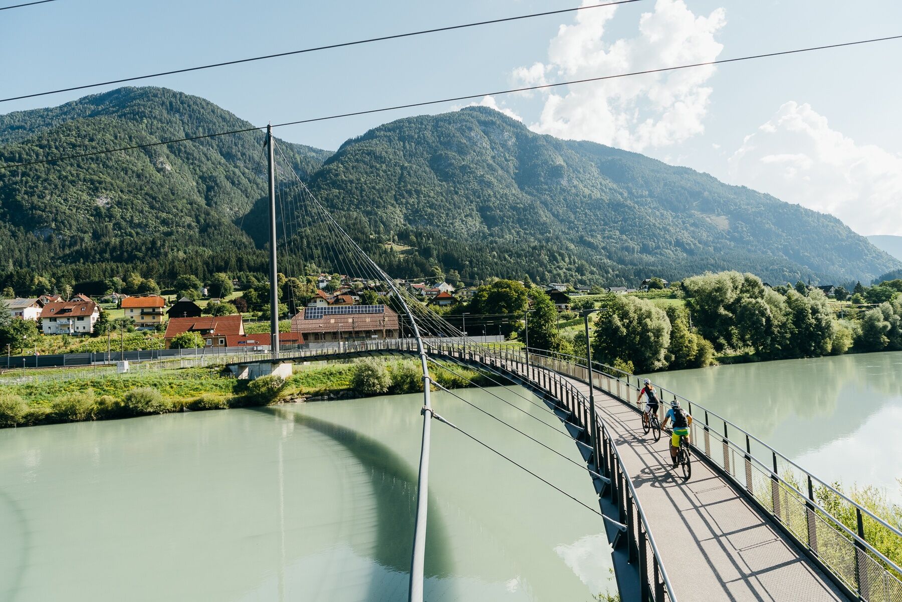

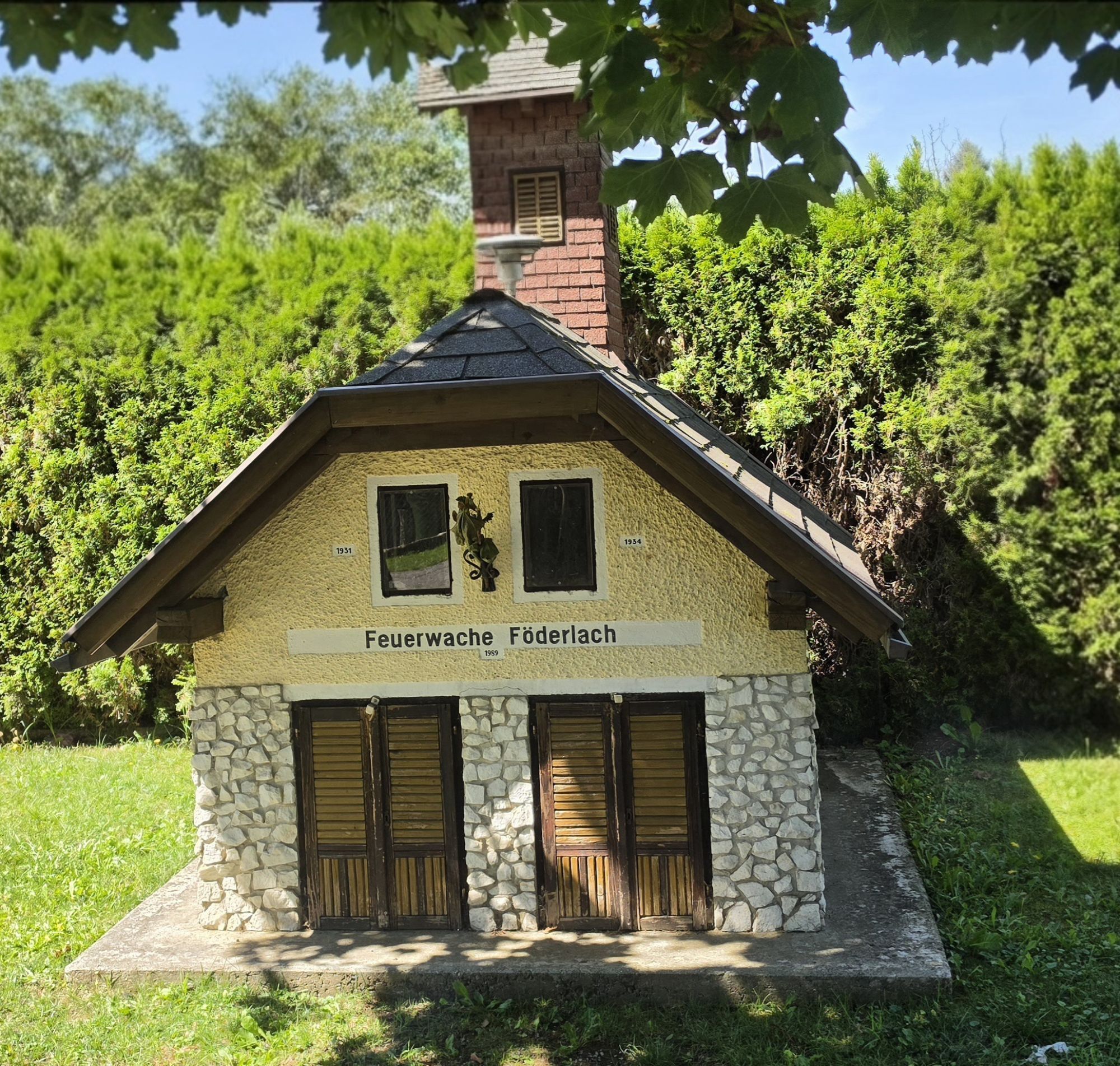
At the beginning, the route follows the R4 cycle path to Velden, then continues via side streets to Föderlach. From there, it follows the Drau cycle path (R1) through the center of Villach and along the Drava Valley further to Spittal.
Áno
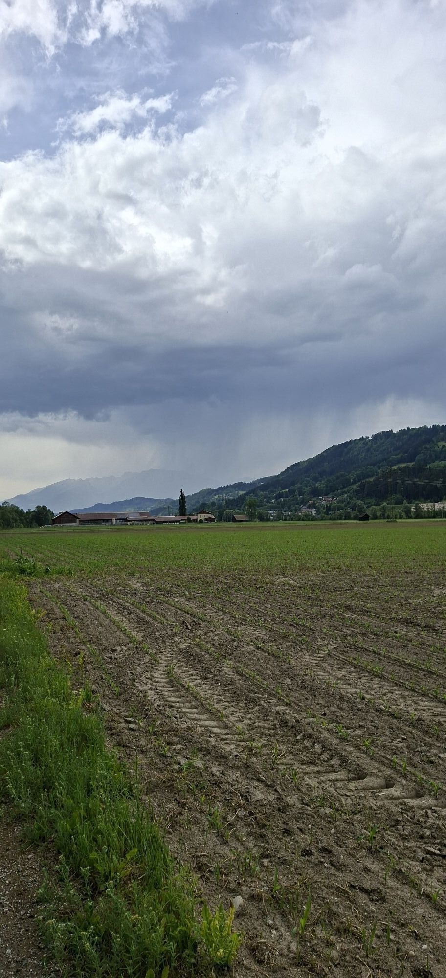
Please don't forget a rain jacket. Even in Carinthia, it can sometimes rain...
The organizer asks for utmost caution when riding in a group.
By car via the A2 (coming from Villach or Klagenfurt). Take the Pörtschach exit.
Pörtschach is perfectly accessible by train.
Info: www.oebb.at
Pörtschach on Lake Wörthersee, preferably at the hotel
2
www.velovista.at
www.drauradweg.com

Webové kamery z prehliadky
-
Restaurant Goldalm
-
Restaurant Goldalm
-
Aussichtsturm Pyramidenkogel
-
Parkhotel Pörtschach
-
Velden - Bootswerft Schmalzl
-
Hotel Schloss Seefels
-
Faaker See
-
Faaker See
-
Faaker See
-
Faaker See
-
Faaker See
-
Faaker See
-
Annenheim/Ossiacher See
-
Landskron
-
Wörthersee / Saag
-
Villach - Friedensbrücke
-
Aussichtsturm Pyramidenkogel
-
Velden - Barry Memle
-
Velden - Barry Memle
-
Restaurant Goldalm
-
Villach
-
Döbriach
-
Velden Kurpark / Karawankenplatz
-
Strandpark Velden
-
Golf Velden am Wörthersee
-
Hotel Post Wrann
-
Seeblickweg
-
Millstatt am See
-
Faaker See / Grüner Heinrich
-
Hotel zur Post
-
Falkensteiner Schlosshotel Velden
-
Faaker See / Haus am See
-
Werzers Hotel Resort
-
Kathreinkogel - Schiefling am Wörthersee
-
Goldeck - 8er EUB Bergstation

Aktivity počas prehliadky
-

Rudersdorf, Kärnten/Österreich
26.09.2026 – Elektronický bicykel -
Spittal an der Drau, Kärnten/Österreich
22.09.2026 – Elektronický bicykel -

Spittal an der Drau, Kärnten/Österreich
20.09.2026 – Cyklistika -
Krieselsdorf, Kärnten/Österreich
20.09.2026 – Vysoké turné -
Spittal an der Drau, Kärnten/Österreich
20.09.2026 – Turistika -

Edling, Kärnten/Österreich
06.09.2026 – Mountainbike -
Rudersdorf, Kärnten/Österreich
24.08.2026 – Elektronický bicykel -

Spittal an der Drau, Kärnten/Österreich
11.08.2026 – Elektronický bicykel -

Spittal an der Drau, Kärnten/Österreich
05.08.2026 – Štrkový bicykel -
Rudersdorf, Kärnten/Österreich
01.08.2026 – Elektronický bicykel -

Villach, Kärnten/Österreich
01.08.2026 – Cyklistika -
Rudersdorf, Kärnten/Österreich
30.07.2026 – Elektronický bicykel -
Spittal an der Drau, Kärnten/Österreich
27.07.2026 – Cyklistika -
Rudersdorf, Kärnten/Österreich
25.07.2026 – Elektronický bicykel -
Rudersdorf, Kärnten/Österreich
26.06.2026 – Elektronický bicykel -

Alpe-Adria Etappe 5
22.06.2026 – Cyklistika -
Rudersdorf, Kärnten/Österreich
07.06.2026 – Elektronický bicykel -
Rudersdorf, Kärnten/Österreich
25.03.2026 – Elektronický bicykel
Obľúbené výlety v okolí
-
4,5
Auf den Dobratsch mit der ganzen Familie
Turistika 8,40 km -
4,7
4 Huts route
strednáTuristika 8,96 km -
5,0
Amberg: Palnock 1901m, Schwarzsee, Rundstrecke
strednáTuristika 7,94 km -
4,4
Finsterbach Waterfalls - Circular route
strednáTuristika 3,87 km -
4,5
Mallestiger Mittagskogel
strednáTuristika 8,17 km -
4,3
Lake circular trail
svetloNordic Walking 9,85 km -
4,2
Schwarzsee circular hiking trail
strednáTuristika 7,79 km -
4,6
Gailtaler Alpen: Wanderung auf der Dobratsch
strednáTuristika 8,50 km -
4,3
Gerlitzen - Hüttersteig
ťažkéTuristika 6,80 km -
4,6
Gerlitzen - Kanzelbahn
svetloTuristika 3,38 km
Turistika a stopovanie


Nenechajte si ujsť ponuky a inšpiráciu na ďalšiu dovolenku
Vaša e-mailová adresa bol pridaný do poštového zoznamu.





