





Tour de Nuas road cycling route 85 km, Vuokatti
Úroveň náročnosti: 3
Tour de Nuas is a challenging road cycling route around Lake Nuas located between Vuokatti and Kajaani. The southern part goes to Kajaani and the northern part back to Vuokatti. The lake is visible to...
Tour de Nuas is a challenging road cycling route around Lake Nuas located between Vuokatti and Kajaani. The southern part goes to Kajaani and the northern part back to Vuokatti. The lake is visible to cyclists only in a few places, and more character is given to the route by the hills of Sotkamo. Parkua and Pohjavaara are relatively gentle, but when cycling to Naapurinvaaralle there is also a steeper climb and descent.
In Kajaani, the route is drawn from Laajankangas to the Kauppapuisto shopping park and further through Petäisenniska to highway 5. If you want better services, you can easily detour through the center, where there are several good cafes and restaurants.
The route is fairly challenging and suitable for experienced cyclists. A fitness cyclist can reserve 3.5–4.5 hours. Recreational cyclists should allow longer. The route runs entirely on paved roads or light traffic routes.
Overall, Tour de Nuas can be classified as medium difficulty.

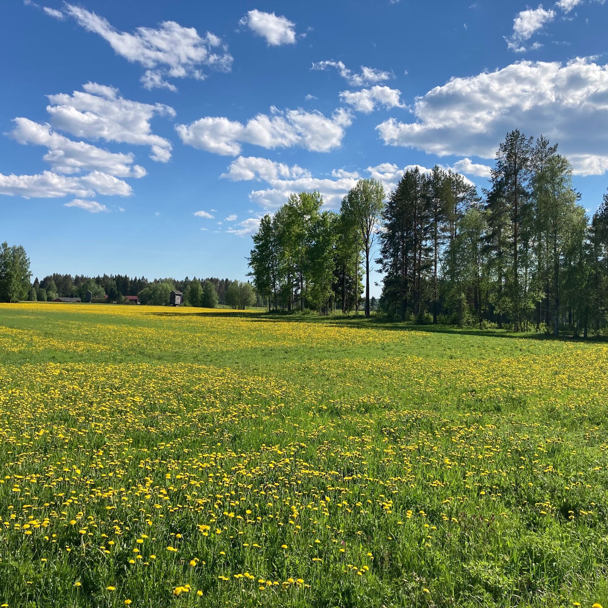
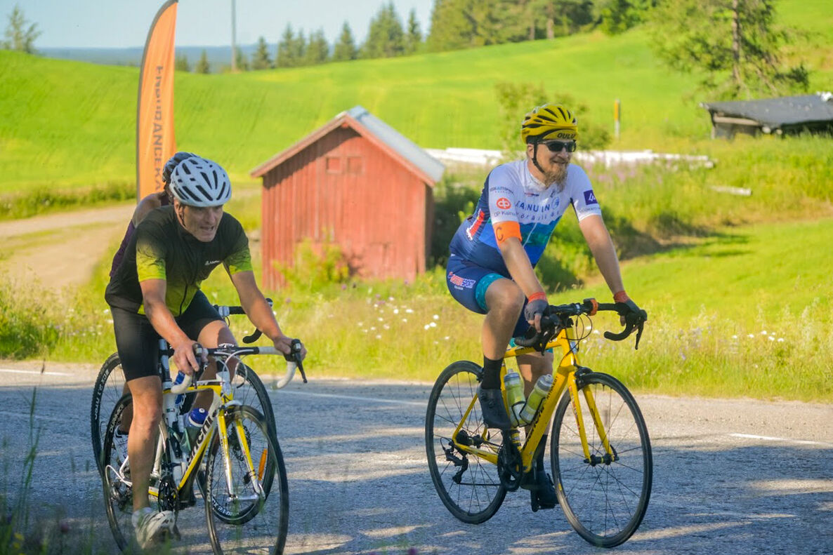
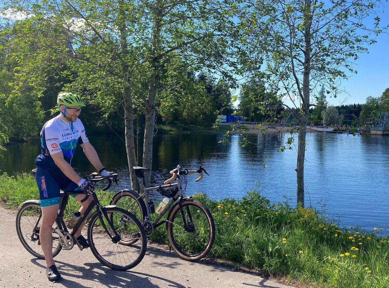
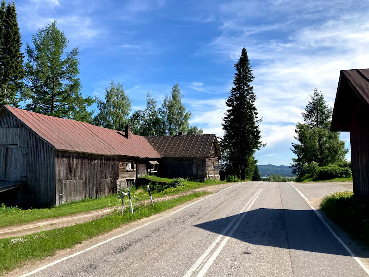
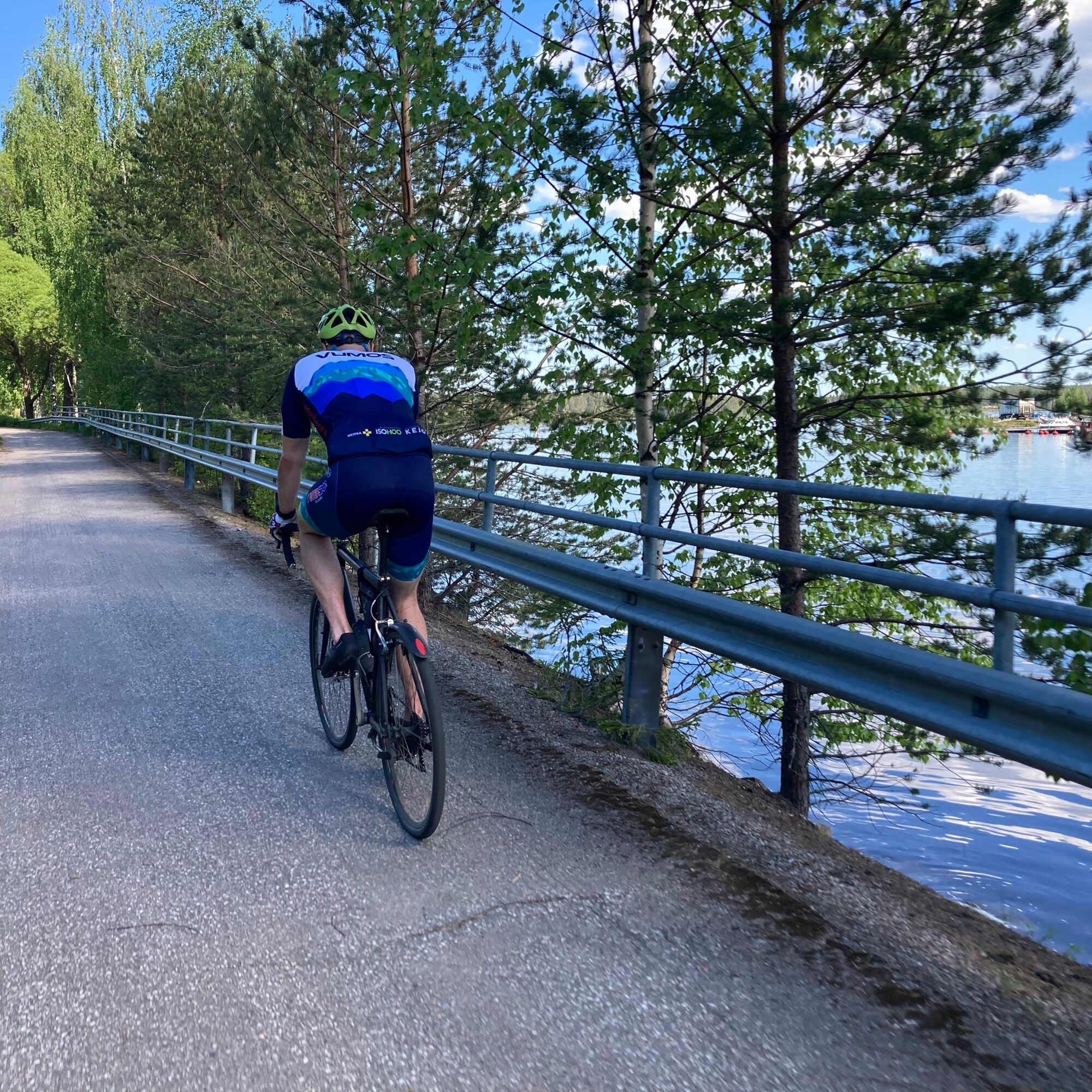
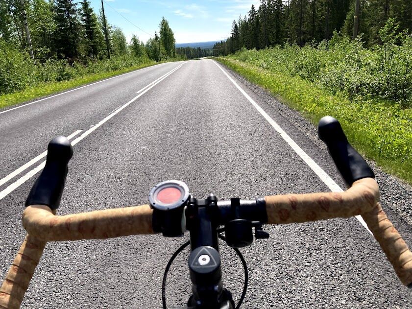
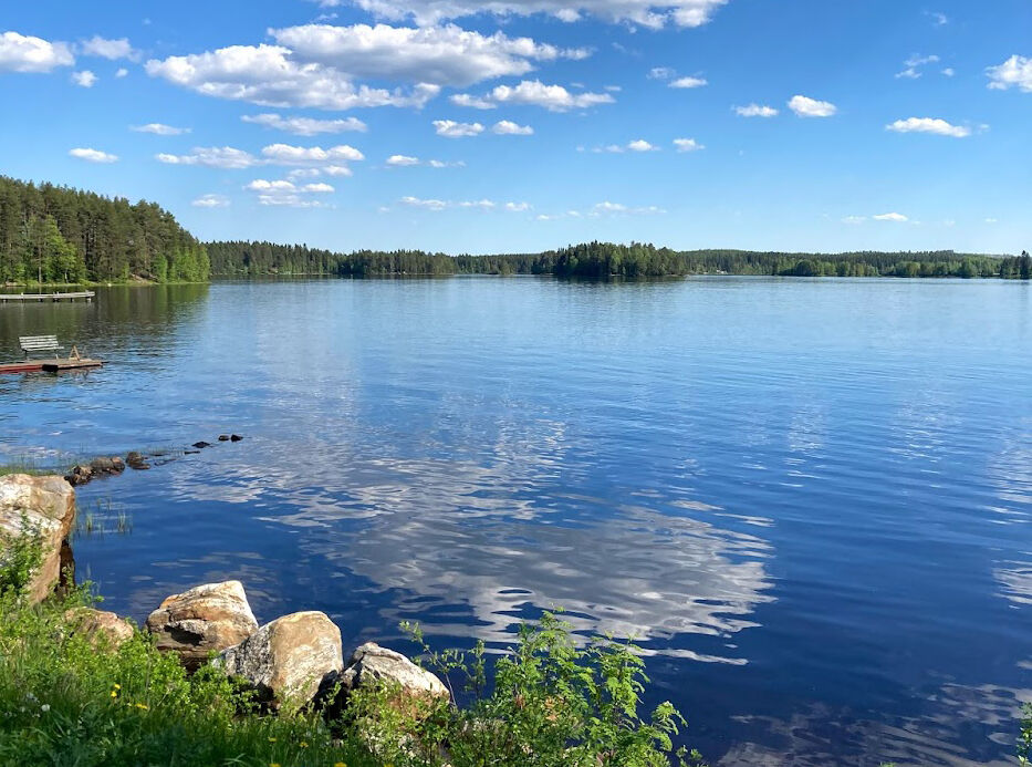
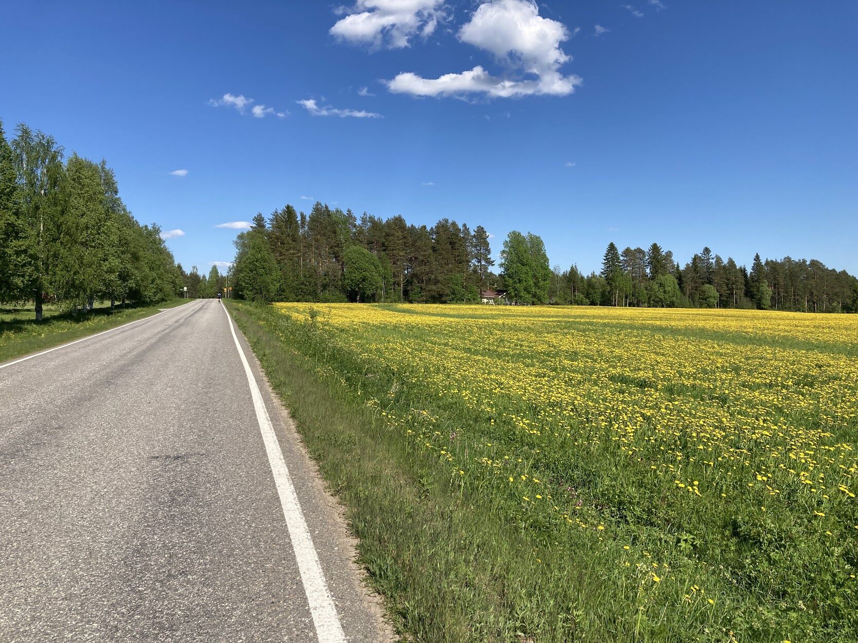
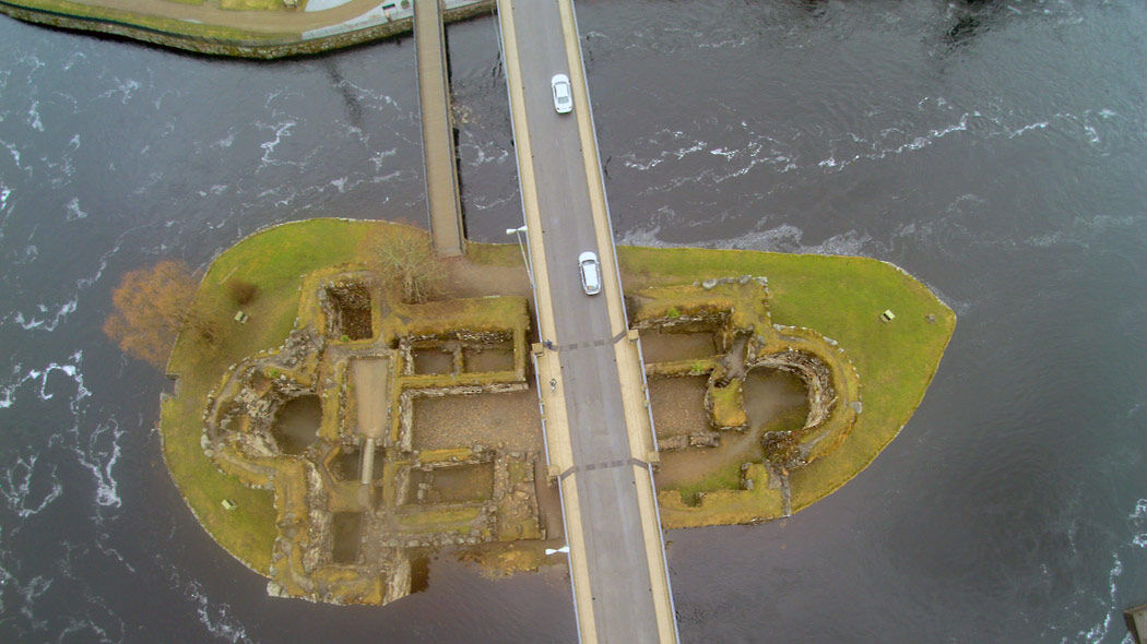
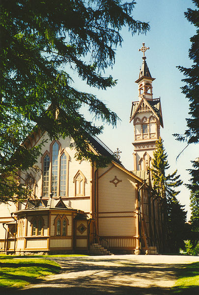

The route is not marked in the terrain, so when cycling you should pay attention to the signs for light traffic and motor traffic. This route description starts from the Vuokatti Arena parking lot at the Sports Institute and proceeds clockwise.
Route description
From Vuokatti, head toward Kajaani on road number 76. From the Eevala junction (main road 8740), continue straight onto Parkua road (main road 870), from which you continue northwest toward Kajaani.
The first 10 kilometers are easy terrain, mostly downhill. After about 10 kilometers of riding, after crossing the Jormasjoki river, a climbing section of about 7 kilometers begins. This is a so-called gentle power climb. The climb ends at the highest point of the route (255 meters above sea level) in the village of Parkua. From here, the route continues quickly and gently downhill to Kajaani (highway 6). Kajaani is bypassed via Kehräämäntie through the Petäisenniska industrial area to highway 5.
After Kajaani, the route continues through the small roads of Takkaranta and Kuluntalahti to Jormua. The terrain is pleasantly varied.
At about 57 kilometers, turn right from Jormua towards Pohjavaara and Vuokatti (main road 899). Here begins the route's second so-called power climb, which is about 4.5 kilometers long. The peak (202 m above sea level) is reached about 5 kilometers before the village of Pohjavaara. From Pohjavaara, turn left toward Vuokatti. From Vuokatti road, at around 69 kilometers, turn left onto the so-called Viinatie (actually Taivalkankaantie, main road 9000), named after the trips Kuhmo residents made to get alcohol, as Kuhmo had no Alko store before 1969. The road between Hietaperä and Taivalkangas thus got the name Viinatie.
The Viinatie road is in somewhat poor condition, so be careful of potholes.
At 75 kilometers, turn right from Viinatie towards Naapurinvaara (main road 9010). At this stage, the steepest climb of the route awaits. The ascent to Naapurinvaara is stepped, and probably even the free-pace group riders must switch to a small front gear before the last "step"—the only time on the route. From the top of Naapurinvaara opens the most beautiful view of the route towards Vuokatti and Lake Nuasjärvi. From Naapurinvaara, descend rapidly down to Pohjavaara road (main road 899) with the appropriate caution. The poor road surface may make the descent difficult.
The final part of the route is easy, flat, and fast. The route ends in front of Vuokatti Arena, reached after about 85 kilometers of riding.
ROUTE DIRECTIONS:
Vuokatti Arena - Vuokatintie 6.4 km - Jormasentie 7.1 km - Parkuantie 16.3 km - Sotkamontie 6 km - Kehräämäntie 3.4 km - Nuaskatu/Timperintie 0.7 km - Pajakatu 0.3 km - light traffic route over the river 0.6 km - Kuurnantie 1.3 km - Takkarannantie 7 km - Kulunnantie 1.3 km left at the intersection, continue Kulunnantie 5.5 km - Jormuantie 9 km - Pohjavaarantie 3.1 km - Taivalkankaantie 6 km - Naapurinvaarantie 4.9 km - Pohjavaarantie 3.5 km - Kuikkalammentie 0.9 km - Vuokatintie 1.1 km - Vuokatti Arena
Áno
A geared bike is highly recommended due to the steep hills and route length.
It is also advisable to bring at least some drinks.
Along the way in Kajaani, there are several cafes and shops.
The route runs along main roads in many places, so pay attention to other traffic.
The starting point is the Vuokatti Arena parking lot in the yard of the Vuokatti Sports Institute. If you use a navigator, use the address Opistontie 1, 88610 Vuokatti.
You can also easily start the route from other central accommodations in Vuokatti.
Vuokatti Arena parking lot
3
Kajaanijoki Kesäniemi beach is right next to the route.
If you want to lighten the route, you can at the end shortcut directly from Taivalkangas to Vuokatti via Pohjavaara road.
You can get an additional loop, for example, by riding via Paltaniemi and Kirkkoaho to Kuluntalahti in Kajaani.
The route, besides road cycling, is also suitable for recreational cyclists, for example as a two-day trip. There are several accommodation options in the middle at Kajaani.
Obľúbené výlety v okolí
-
Kainuu Tervareitti / Stage 3: Sotkamo - Kajaani 36 km
ťažkéKajak / Kanu 36,0 km -
Kesäniemi - Kuluntalalahti paddling route 11 km, Kajaani
strednáKajak / Kanu 11,5 km -
Vimpelinlampi Walking Trail 2,5 km, demanding accessible, Kajaani Finland
svetloTematická trasa 2,51 km -
Arppen forest trail 2.2 km, Kajaani
svetloTuristika 2,06 km -
Kuluntalahti - Rehja island paddling route 8/16 km, Kajaani
strednáKajak / Kanu 7,18 km -
Pirunvaara - Kirkkokallio hiking trail 13 km, Kajaani Finland
strednáMountainbike 11,9 km -
Akkovaara family excursion - About devils and giants 2 km, Kajaani Finland
strednáTuristika 2,31 km -
Eino Leino cultural walk, 2 km, Kajaani Finland
svetloTematická trasa 1,96 km -
6 km from Kuurna paddling barn to the market square, Kajaani
strednáKajak / Kanu 5,97 km -
Paddling trip to the Särämäjärvi bird waters 10 km, Kajaani
strednáKajak / Kanu 10,4 km
Turistika a stopovanie


Nenechajte si ujsť ponuky a inšpiráciu na ďalšiu dovolenku
Vaša e-mailová adresa bol pridaný do poštového zoznamu.





