


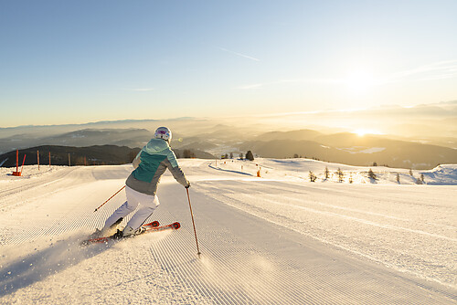
Autioniemi winter hiking and cycling route 5.1 km, Paltamo

Úroveň náročnosti: 2
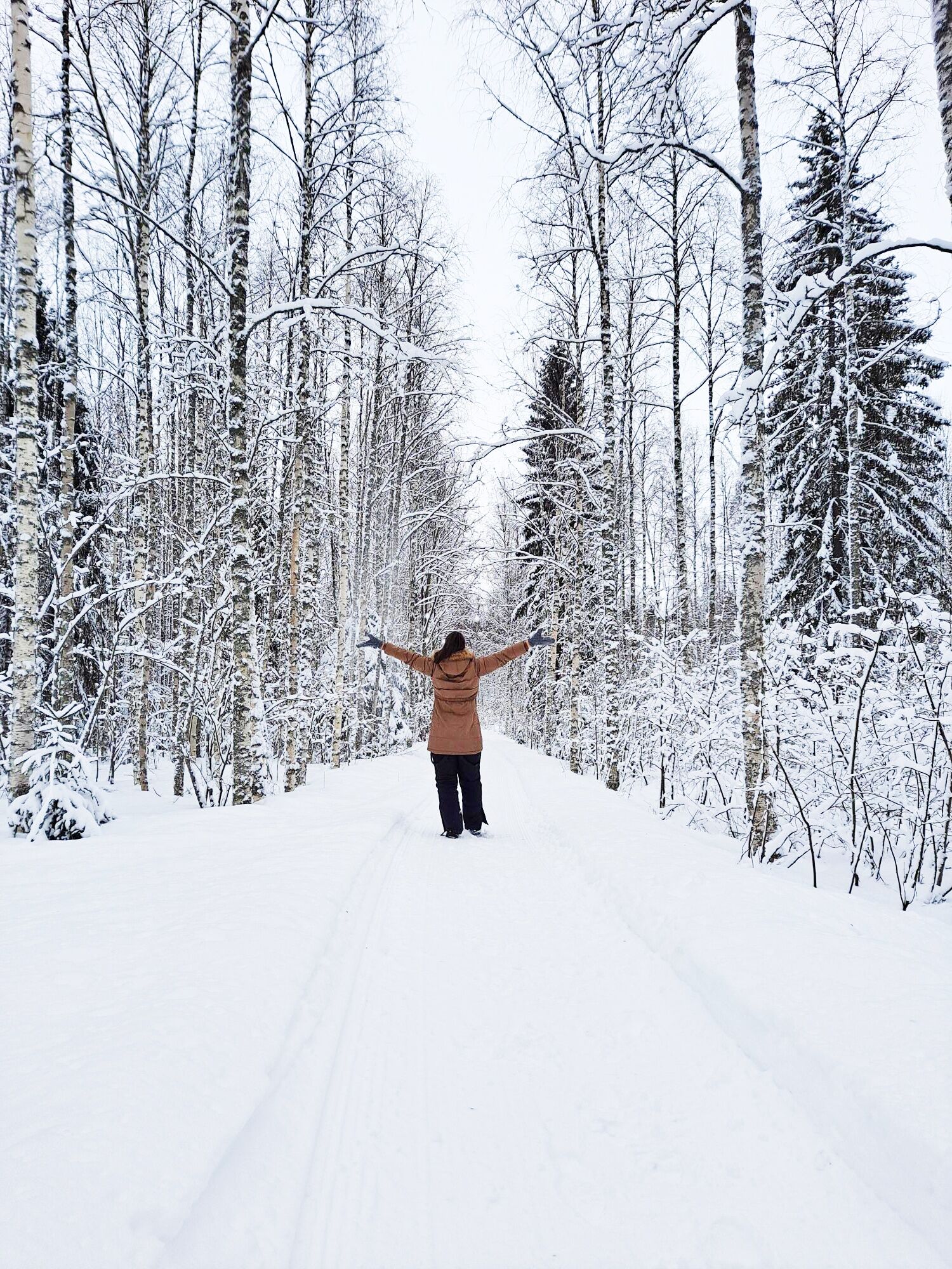
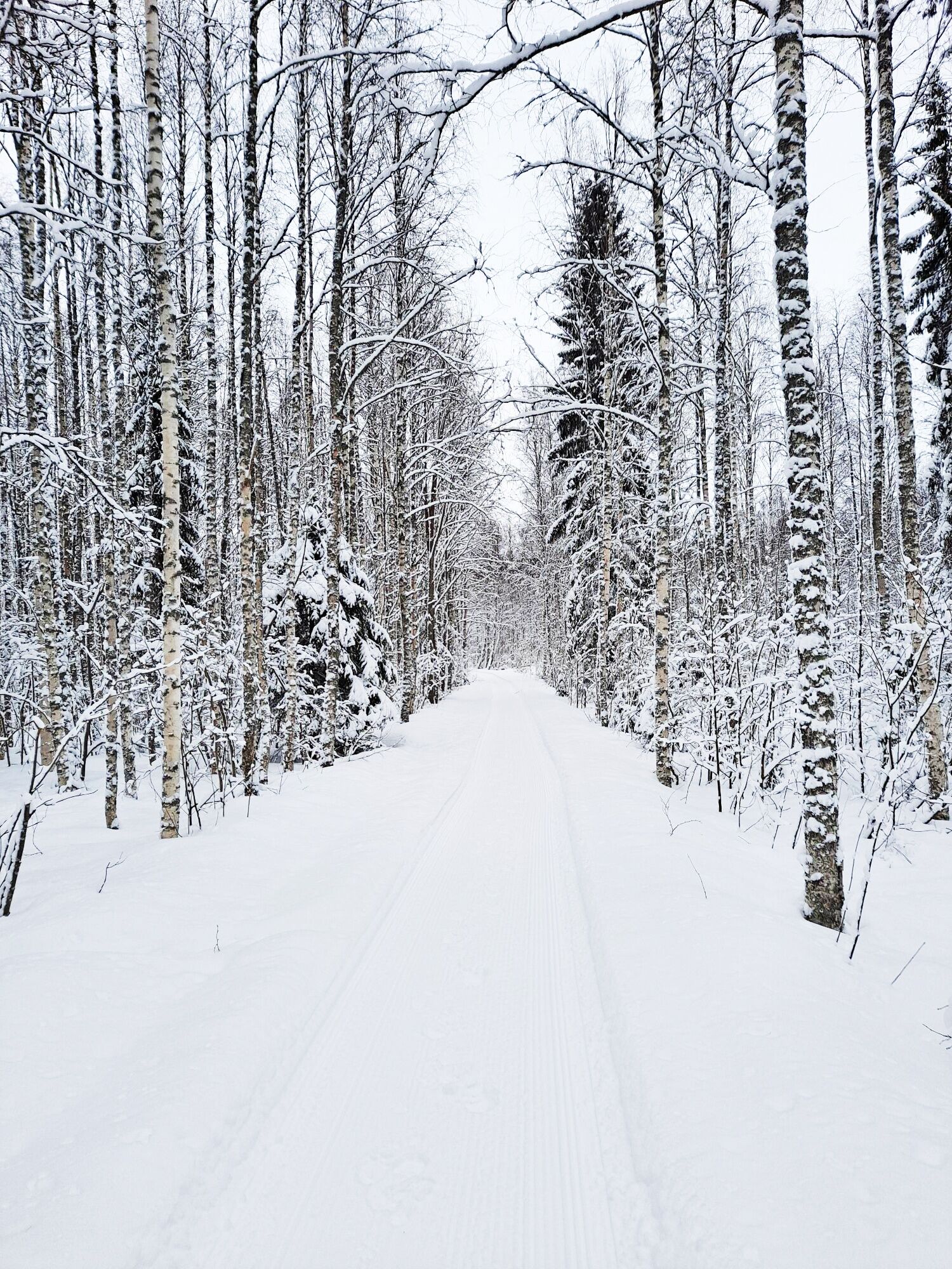
The winter hiking and cycling route built to Autioniemi follows old paths and an old railway embankment in the area. The winter trail, popular among locals, is fairly easy terrain especially on the railway...
The winter hiking and cycling route built to Autioniemi follows old paths and an old railway embankment in the area. The winter trail, popular among locals, is fairly easy terrain especially on the railway embankment sections, but the forested path sections add variety.
During winter the route is maintained on weekdays depending on snow conditions.
The route starts at the corner of the old sawmill area. There is a parking area and an information board at the starting point. The route consists of two separate loops and a connecting section. The section connecting the loops runs along an old railway embankment and the loops are mostly on old forest paths.
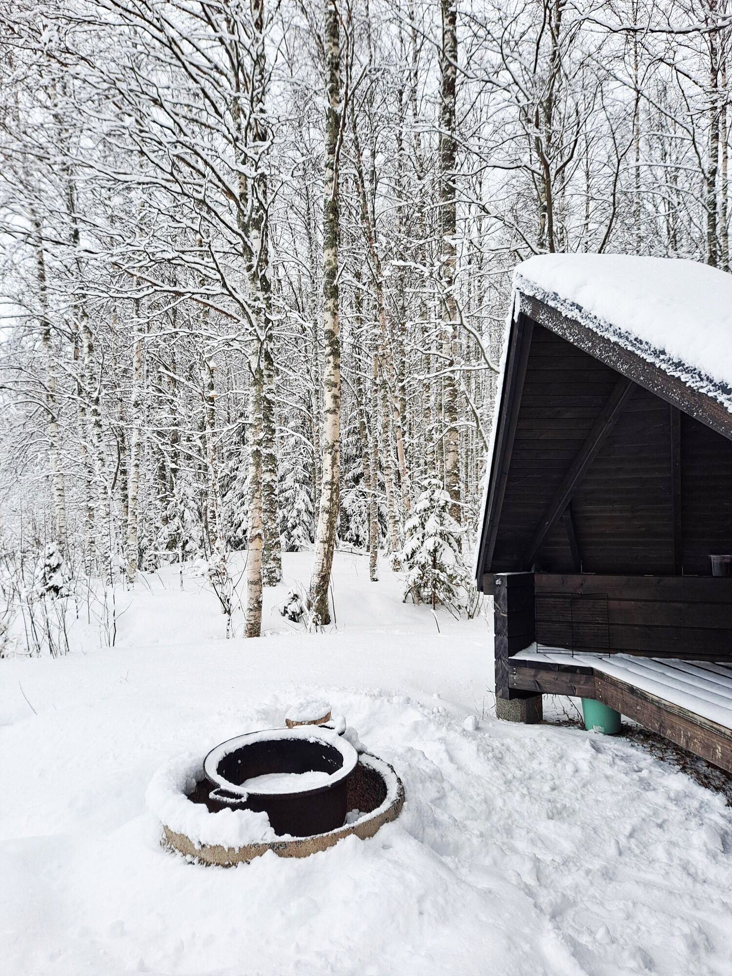
The route is used in both winter and summer. Along the route there is also a lean-to hut by the Paltamo Motor Club/Sports Drivers association, which can be used on a self-service basis, for example for roasting sausages — each person brings their own firewood and takes their trash with them. The location of the lean-to is marked on the information board.
Turn from highway 22 onto Koikerolahdentie to reach Autioniemi. Starting point on the map: https://goo.gl/maps/GBgaE3cJcWv2UHeX8

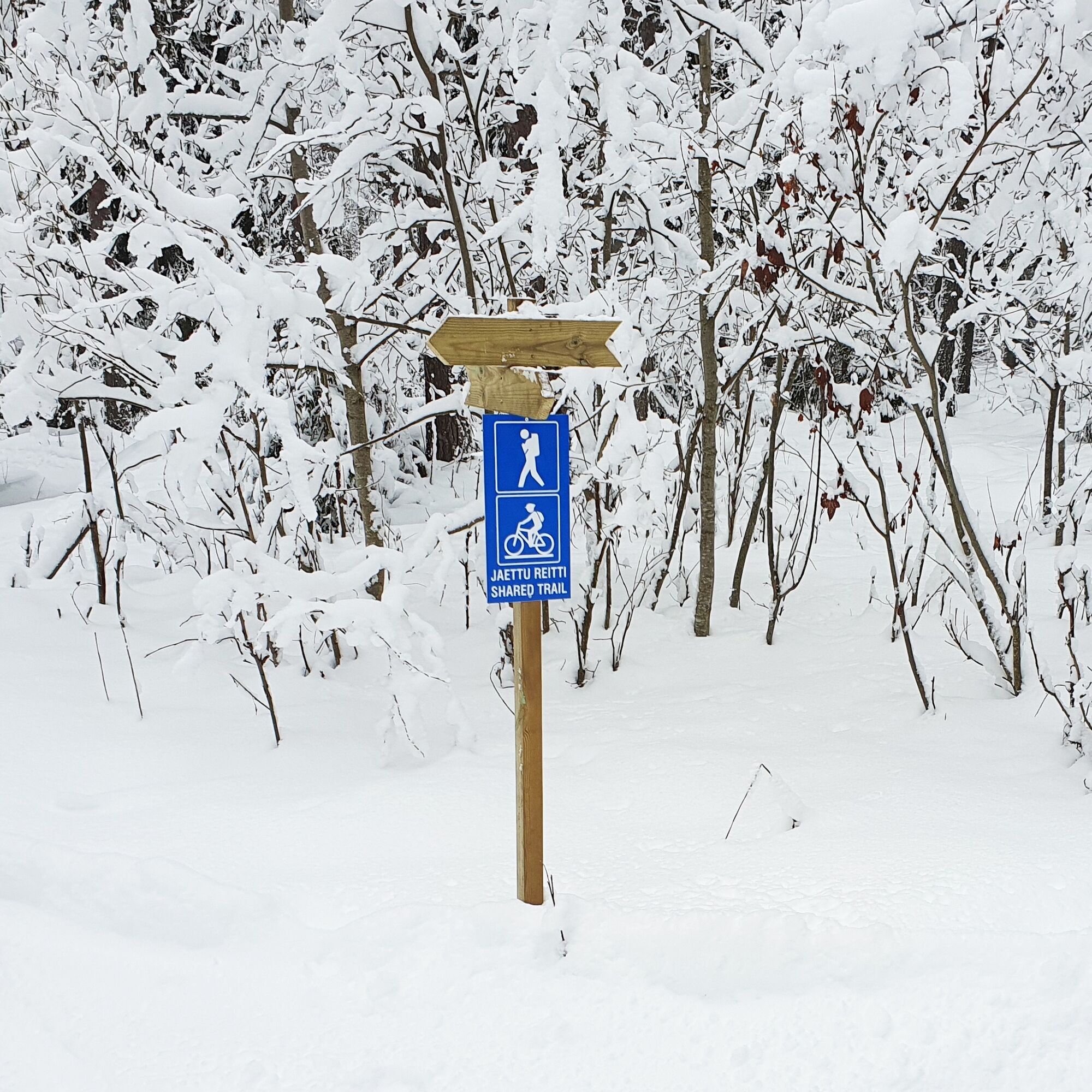
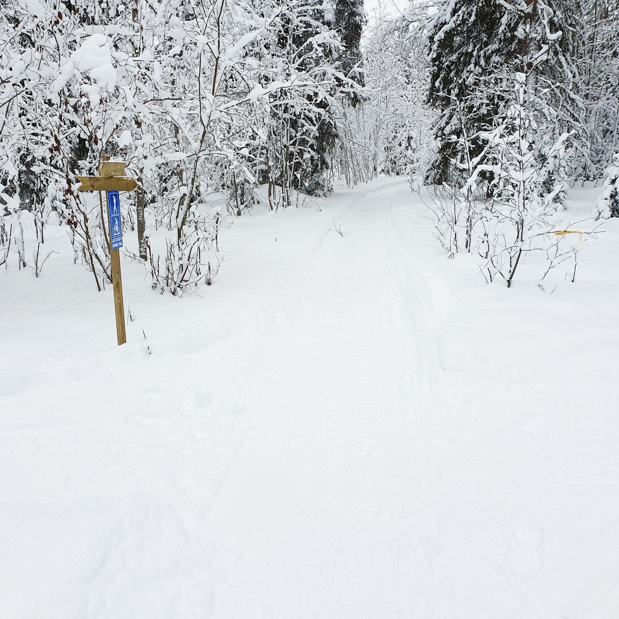

The winter hiking and cycling route to Autioniemi is marked in the terrain with wooden arrow signs and pictorial signs. In addition to the signs and arrow markers, there are blue fiber ribbons along the route as a sign of the trail.
The route consists of two separate loops and a connecting section that runs along an old railway embankment. The recommended direction of travel on the loops is clockwise.
Áno
The route is passable by fatbike and on foot.
Upon reaching Autioniemi, you cross the busy highway 22 / Ouluntie.
The route is permitted for both cyclists and pedestrians, so be mindful of other users.
The starting point is located near the center of Paltamo between the railway station and Lake Oulujärvi. Follow the Paltamo signs on highway 22 (Oulu-Kajaani), main road 78 (Paltamo - Puolanka) passes through the municipal center. Turn from highway 22 onto Koikerolahdentie.
You can reach Paltamo by both train and bus. Check schedules on the VR and Matkahuolto websites.
At the starting point
2
The lean-to along the route is a good resting spot.
Equipment can be rented in Paltamo from Kotomo and Arctic Giant
Obľúbené výlety v okolí
-
Cycling to Kivesvaara 35 km, Paltamo
ťažkéCyklistika 34,8 km -
Louhoksen Kierros- circular hiking route, 8,6 km, Kivesvaara Finland
strednáTuristika 9,22 km -
Eino Leino cultural walk, 2 km, Kajaani Finland
svetloTematická trasa 1,96 km -
27 km in the traditional landscapes of Vaarankylä and Melalahti, Paltamo
strednáCyklistika 27,0 km -
Vaarantalo wellness trail 2 km, Paltamo
svetloTematická trasa 2,09 km -
Paddling trip to the Särämäjärvi bird waters 10 km, Kajaani
strednáKajak / Kanu 10,4 km -
Hakasuon nature and local heritage trail 6 km, Paltamo
strednáTematická trasa 6,05 km -
Leppikoski cycling loop 16 km, Paltamo
strednáCyklistika 15,7 km -
Kurun Polku -hiking route, circle route, 9,9 km, Kivesvaara Finland
strednáTuristika 9,87 km -
Kantolan Lenkki- circular hiking route, 6km, Kivesvaara Finland
strednáTuristika 5,98 km
Turistika a stopovanie


Nenechajte si ujsť ponuky a inšpiráciu na ďalšiu dovolenku
Vaša e-mailová adresa bol pridaný do poštového zoznamu.


