


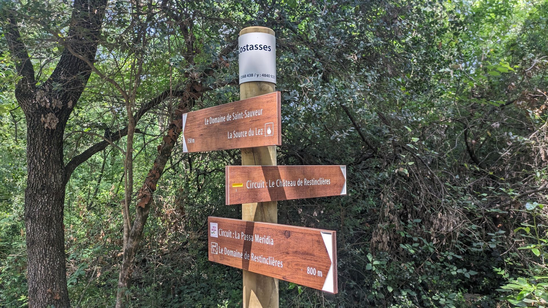
HIKE OF THE CHÂTEAU DE RESTINCLIERES
Garrigues, views of Pic Saint-Loup, shade and coolness of the Lez springs, ending under the tall trees of the Restinclières estate... a route to do in any season!

1
Join the parking entrance, take the track to the right, pass the wastewater treatment plant and, at the crossroads, take the path that goes between the tracks. It crosses a wooded plot then skirts it on the right, alongside crops.
2
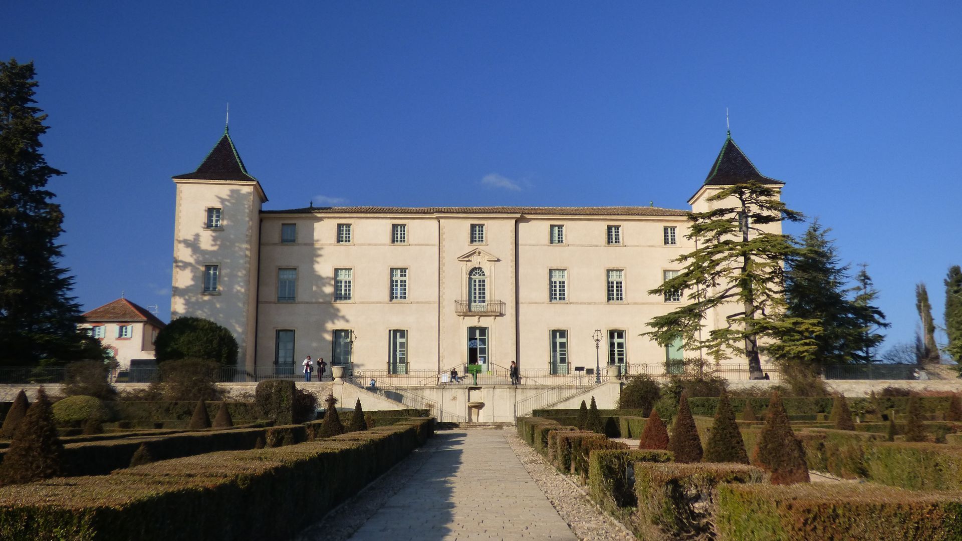
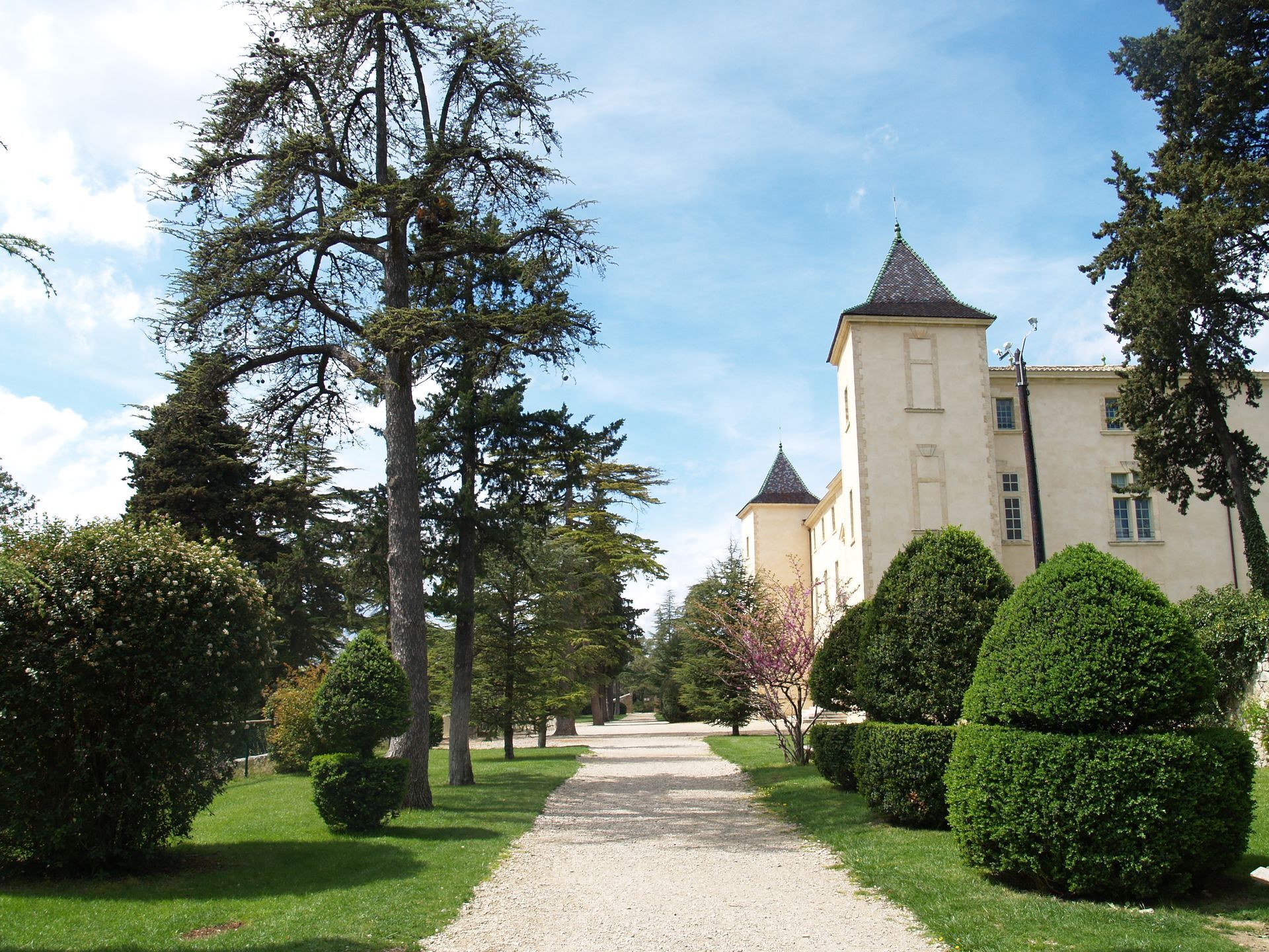
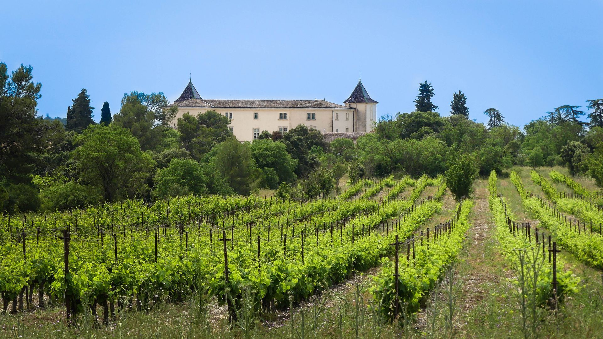
Cross the track, go through the gate and continue along the path that runs beside experimental agroforestry plots (cultivated and wooded with walnut trees, service trees, maples). At the picnic area (castle in the background), continue left on the track. It passes at the foot of plane trees and leads to a crossroads (pumping station to the left). > Short variant of the circuit (1 h, 3.5 km): take the track on the right to rejoin the main circuit (yellow marking).
3
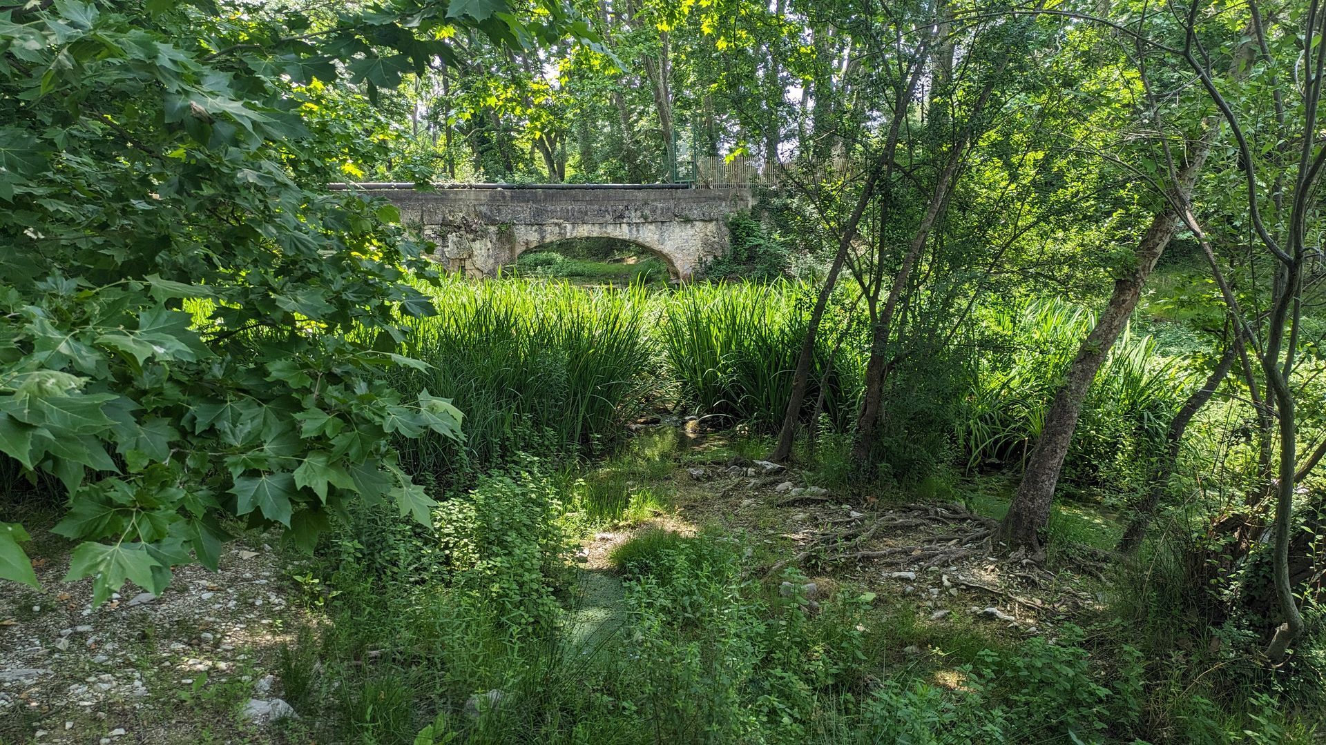
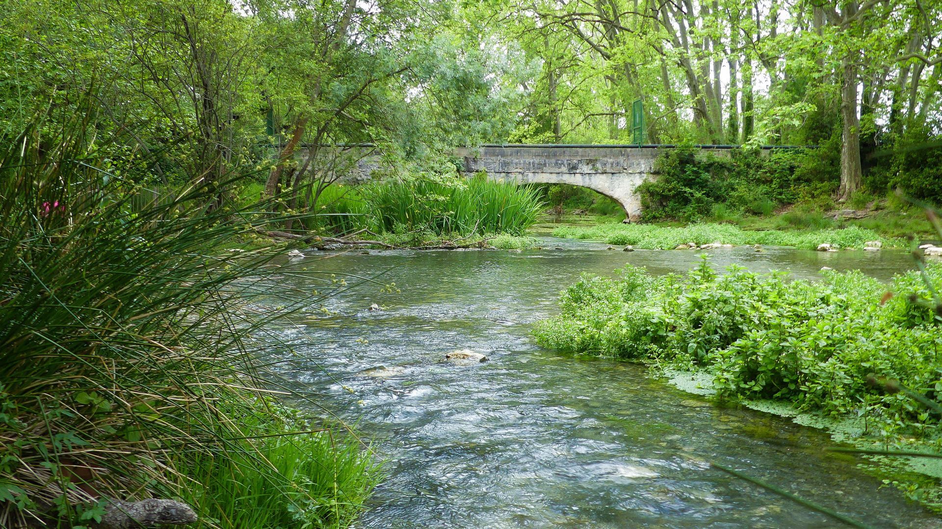
Take the avenue of plane trees to the left and descend towards the Lez. Pass the picnic area and climb back up by a path to run along a fence. Several times, the path runs alongside a track. Cross it at a barrier on the left, continue straight ahead and descend through Mediterranean vegetation. Continue straight on the track towards a plantation of young service trees (a shrub resembling the rowan; the clusters of white flowers produce edible fruits shaped like small pears, the service tree berries). Leave the woods, go down along the vineyard and, at the crossroads, turn right along the ditch. At the corner of the vineyard, head left, then take the track on the right.
4
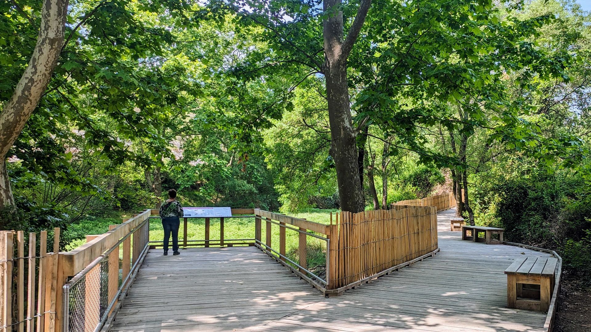
Just after the culvert, move left along a ditch, cross the arranged crossing and walk through the garrigue towards the riparian forest of the Lirou (from Latin “ripi” and “sylve” meaning “bank” and “forest”; it is the name given to the vegetation bordering watercourses). Follow the path along the edge of the vegetation, then reach the bed of the Lirou (intermittent stream).
5
Climb to the right, follow the playground (carefully follow the markings) and reach a crossroads. Turn right and go around the castle at the back.
6
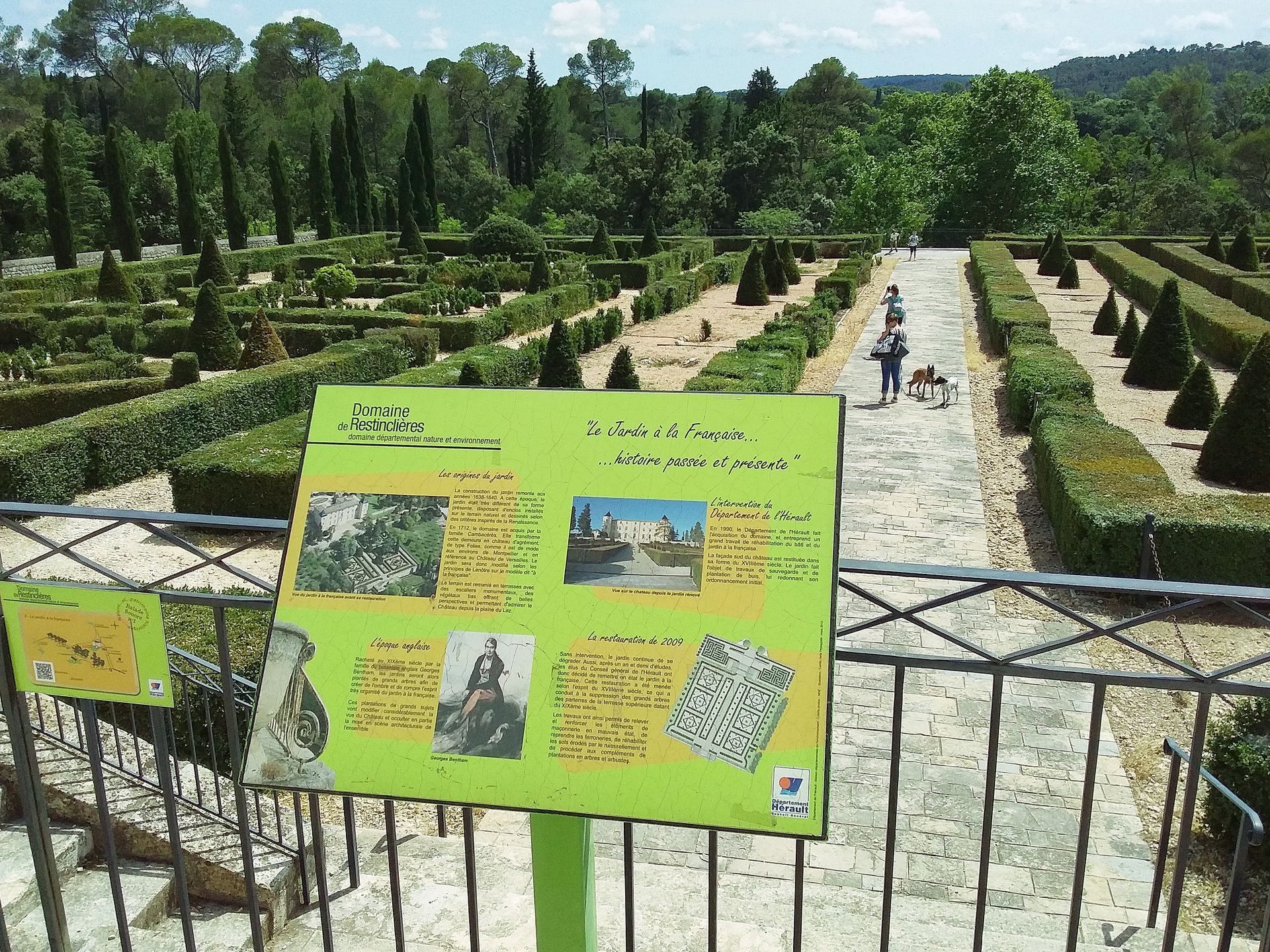
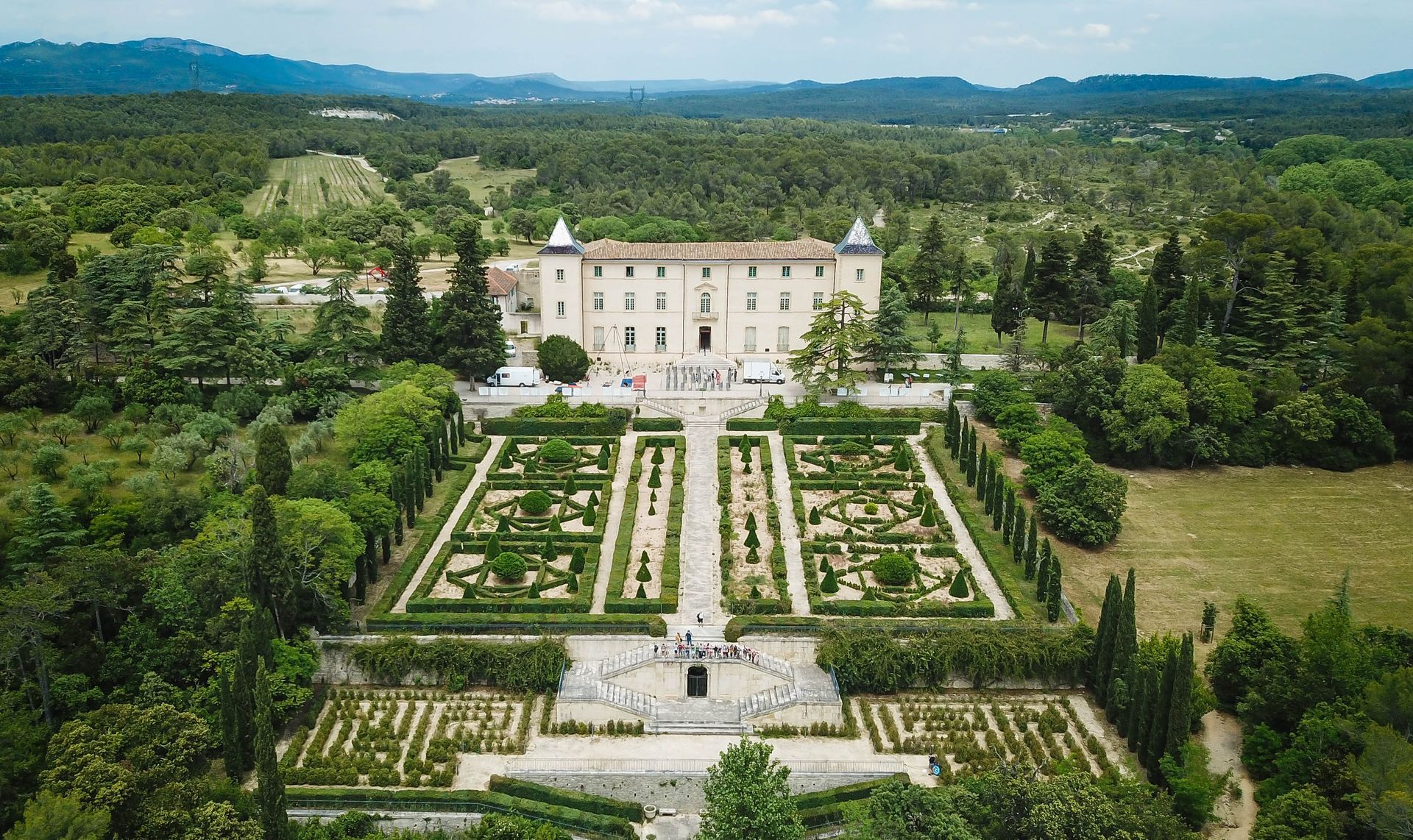
At the fork, turn left, pass between the castle and the French garden, then go through the gate. Take the road to the right to reach the parking...
In case of emergency, call 112.
Yellow PR
+33 4 67 67 76 36
PDESI
Obľúbené výlety v okolí
-
5,0
DRAILLES HIKE
svetloTuristika 7,16 km -
4,0
PIC SAINT LOUP HIKE
strednáTuristika 2,64 km -
RAVIN DES ARCS HIKE
strednáTuristika 3,83 km -
5,0
CHARBONNIERES HIKE
svetloTuristika 5,24 km -
HIKING THE OASIS OF THE GARRIGUES
strednáTuristika 10,9 km -
HIKING THE CASTRIES AQUEDUCT
svetloTuristika 11,4 km -
OENORANDO® BETWEEN GRÉS DE MONTPELLIER AND PIC SAINT-LOUP
strednáTuristika 15,0 km -
OENORANDO® THE DRAGON TRAIL
strednáTuristika 11,7 km -
FROM MONTPELLIER TO SAINT-GUILHEM-LE-DÉSERT ON THE GR®653 ARLES WAY TO COMPOSTELA
strednáTuristika 42,7 km -
4,0
BOIS DE LÈQUE HIKE
svetloTuristika 9,34 km

Turistika a stopovanie


Nenechajte si ujsť ponuky a inšpiráciu na ďalšiu dovolenku
Vaša e-mailová adresa bol pridaný do poštového zoznamu.