


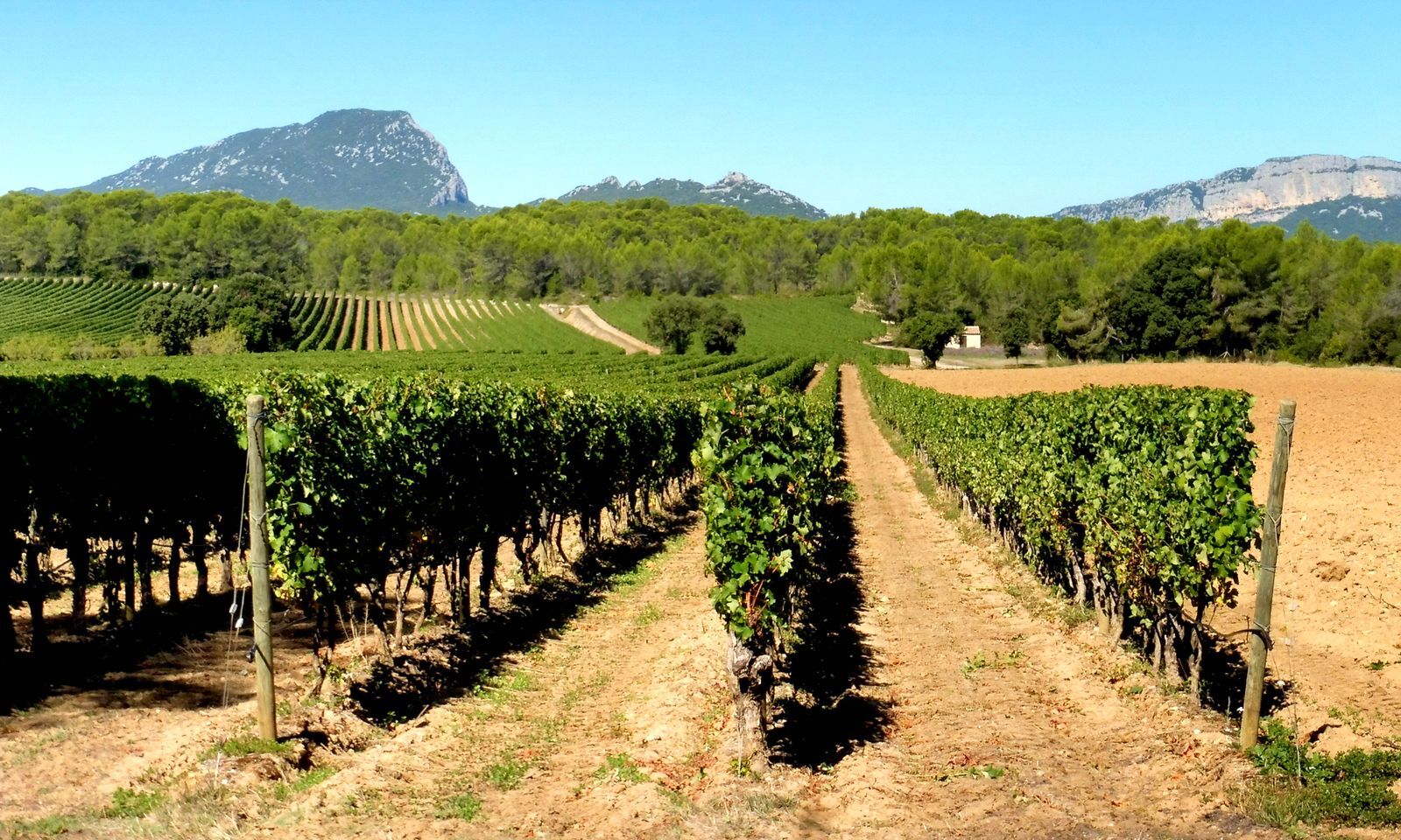
OENORANDO® BETWEEN GRÉS DE MONTPELLIER AND PIC SAINT-LOUP
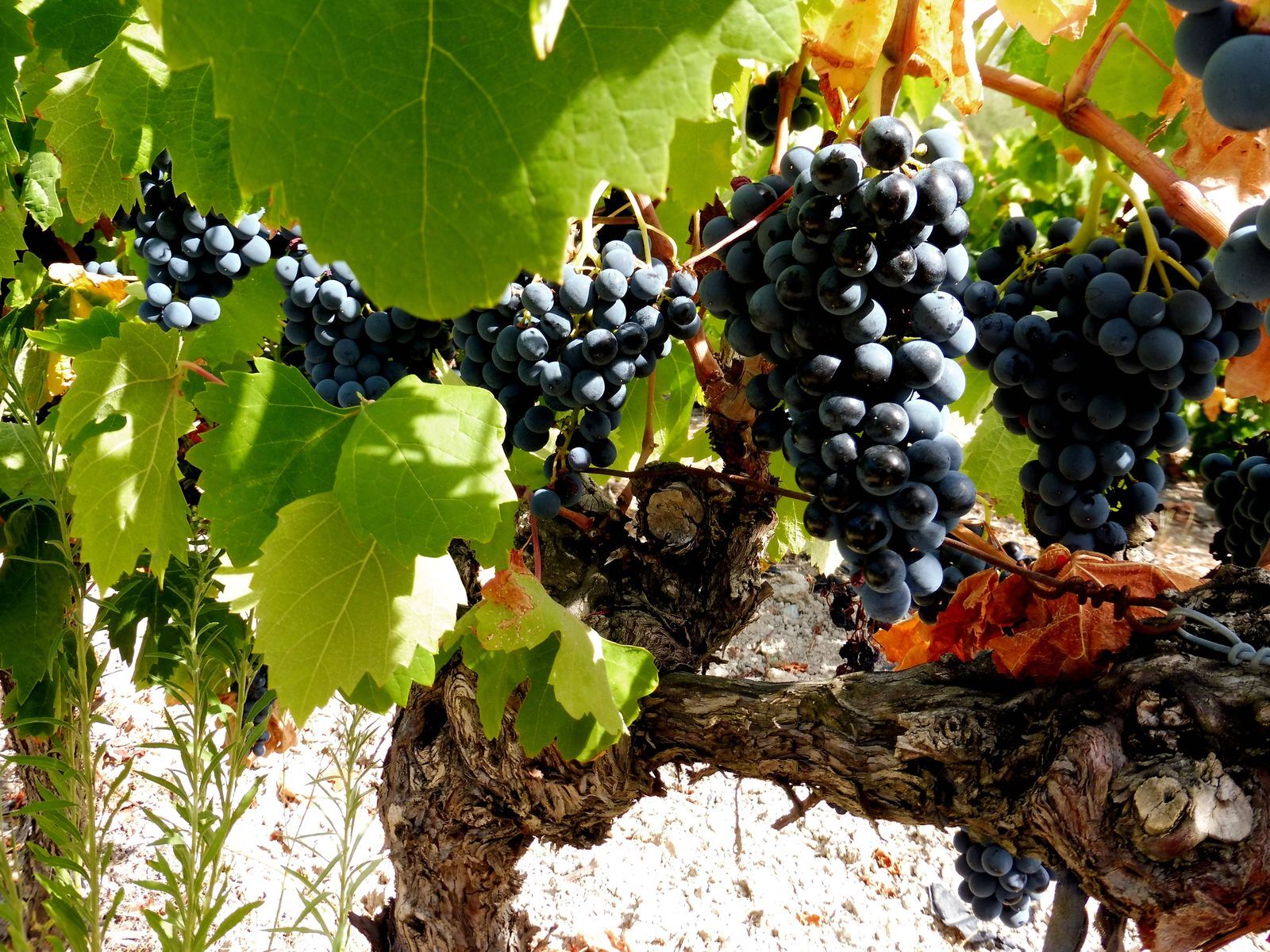
Wine tourism in Terres de Garrigues and Pic Saint Loup is based on an excellent offer in terms of natural areas, unique vineyard landscapes, and hospitality services. Dive into the heart of this history...
3 good reasons to choose this route:
• discover two appellation terroirs near Montpellier, • walk along a manade, • meet passionate winemakers.

1
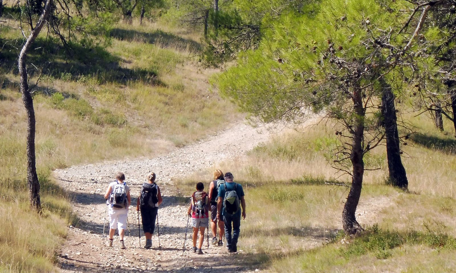
From the parking lot, behind the cooperative winery, cross rue de la Fontaine Haute and turn left. Climb the small road through a forest of green oaks. Follow the GR® 60 for several kilometers. Continue straight ahead until a track (viewpoint of the Hortus cliff and Pic Saint-Loup). Take the D 109E3 for 400 m. Continue on the track ahead, pass under the Lien (D 68). After the tunnel, immediately turn left and advance for 200 m.
2
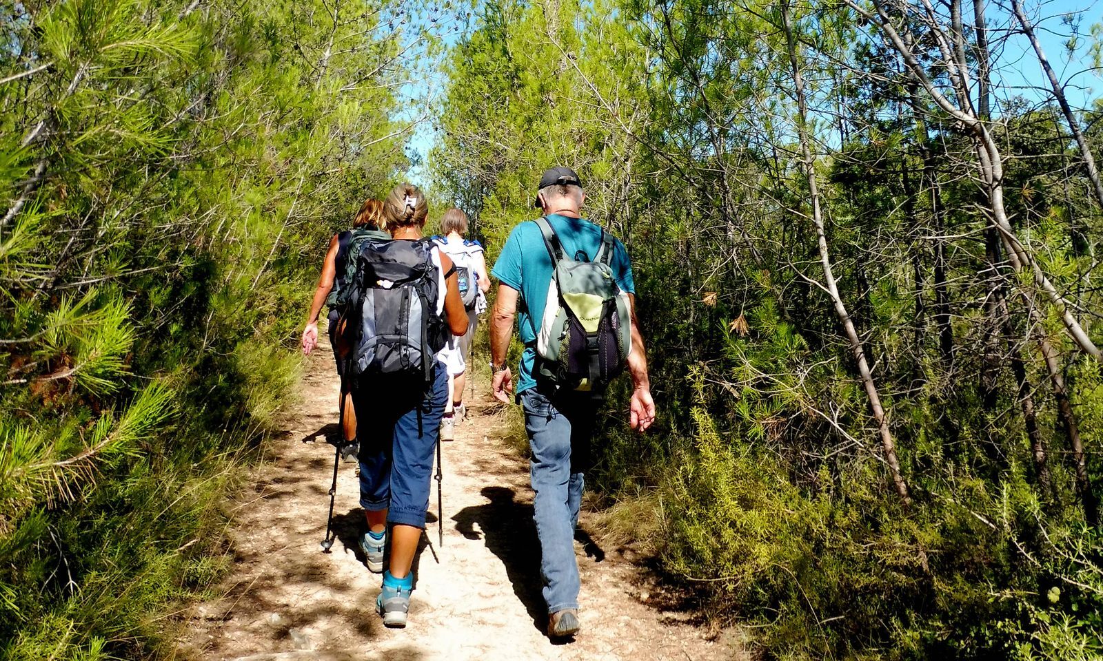
Leave the track and the GR 60 to follow a path to the right into the woods. Pass in front of the effluent discharge station of the cellar into the settling and irrigation basin of the vineyard. Pass alongside a vineyard field (gate passages), then continue straight ahead in the woods. Cross a track and then cross a cleared area opposite. Follow a well-marked path to the left.
3
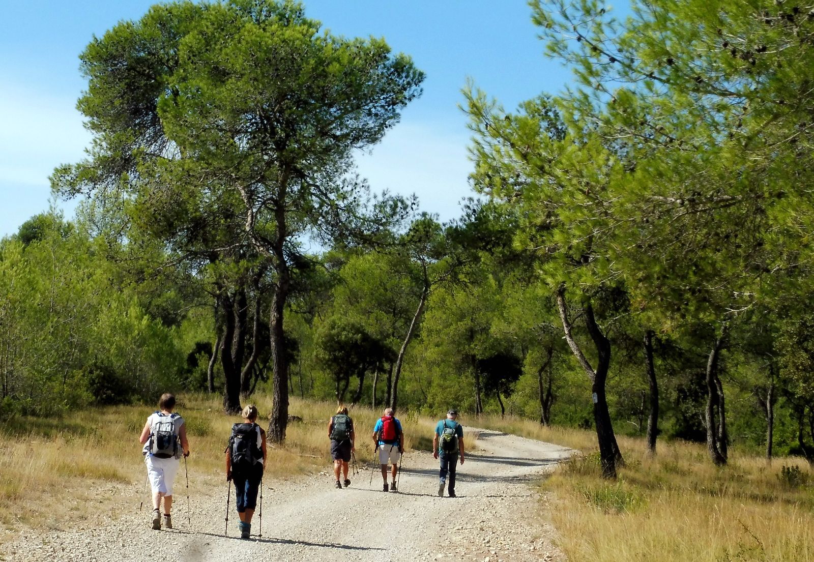
Turn right onto the track. Walk 150 m and take a path to the left. At the level of an old dry stone rabbit hutch, turn right and descend through a green oak wood. At the crossroads, head left on a dirt path through the pines. At the gate, take the path to the left. Further on, pass under the high voltage line.
4
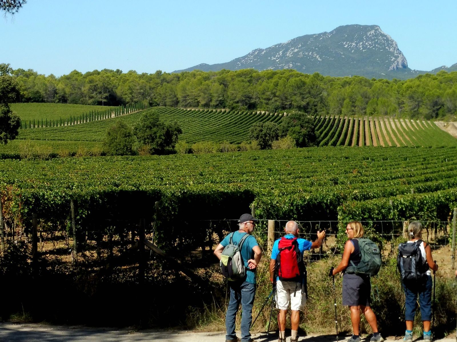
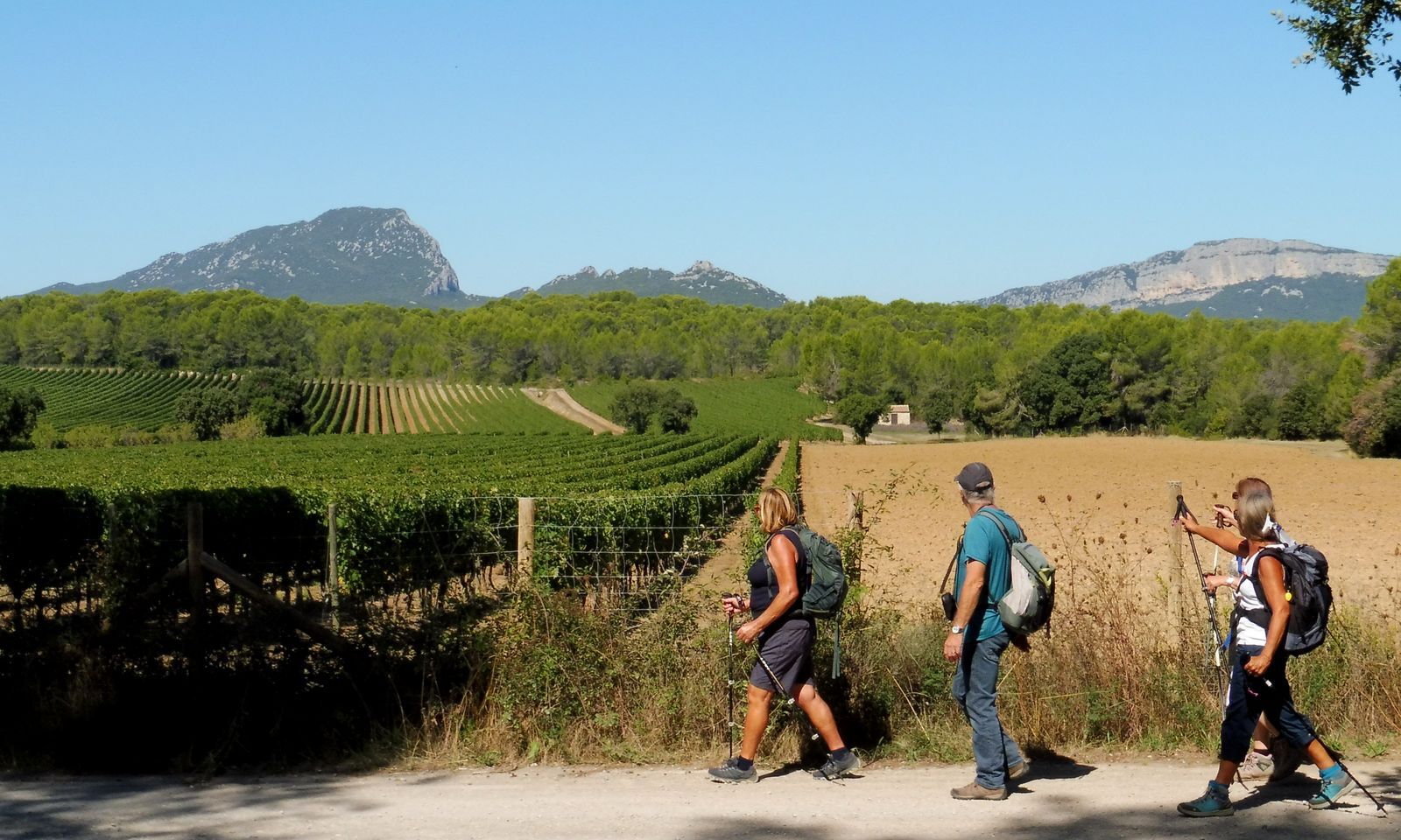
At the crossroads, turn left onto the track (viewpoint of the Hortus, Pic Saint-Loup, and the vineyard). At the next crossroads, continue straight for 600 m. Leave the track to the left by a path in the green oak wood (view of the Languedoc-Granulat quarry). Pass again under the high voltage line, descend to the right then immediately to the left and climb a narrow path. Mid-slope, turn left and continue through a scree. Reach the top of the hill. Descend the slope and reach a crossroads in the Rang plain.
5
Continue straight ahead, cross a bridge over the Lien. Just after, turn left and descend into the path toward the Rieu Coullon. Climb straight ahead and take the track to the left. Walk 50 m, continue left on a path. Climb right toward a track, take left then straight ahead.
6
At the entrance to St-Vincent-de-Barbeyrargues, head right on chemin des Crouzettes, then du Poulaillou. At the crossroads (calvary), follow D 109E2 to the left towards Assas. At the end of the village sign, use the bike path and turn right on Chemin des Ortes.
7
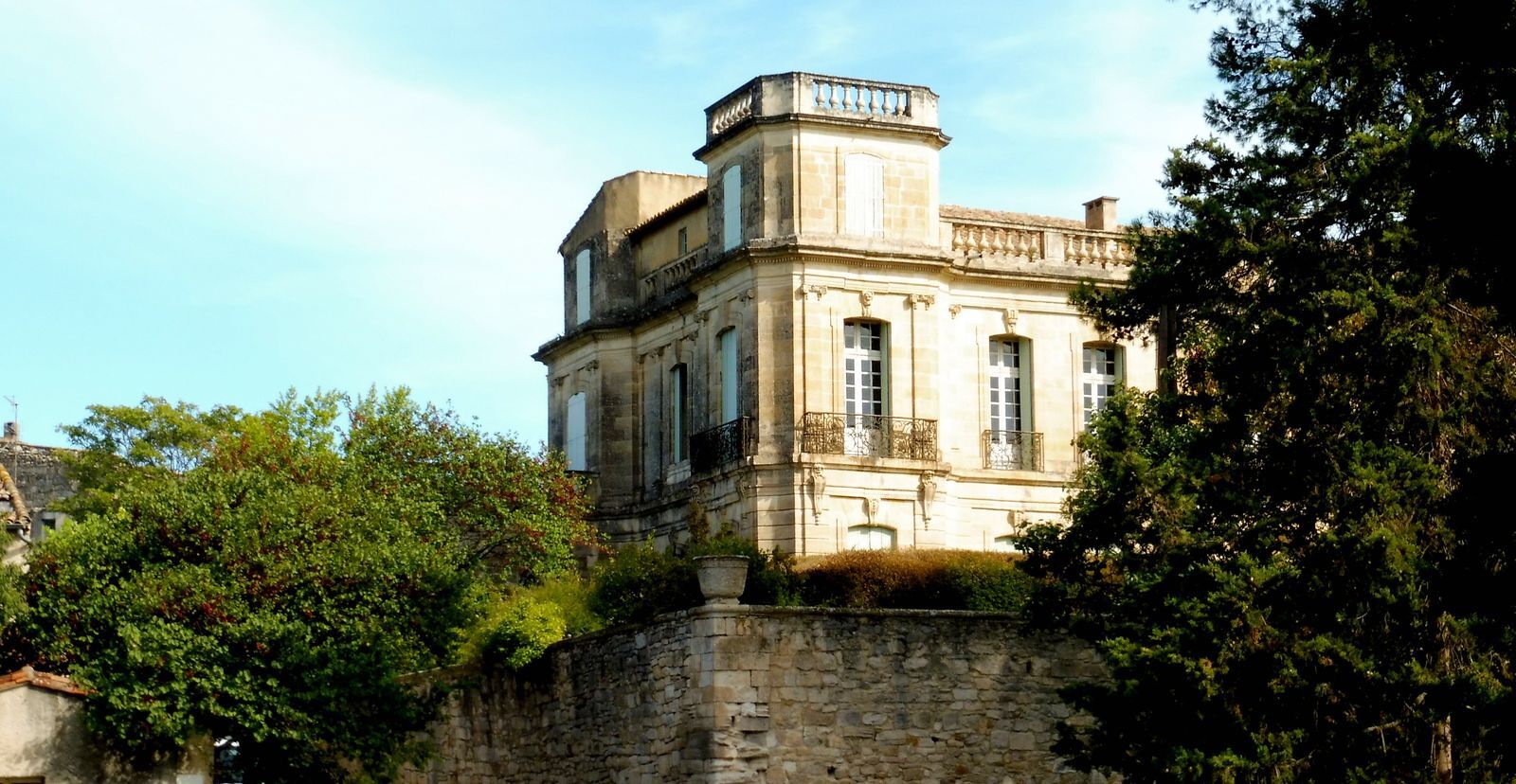
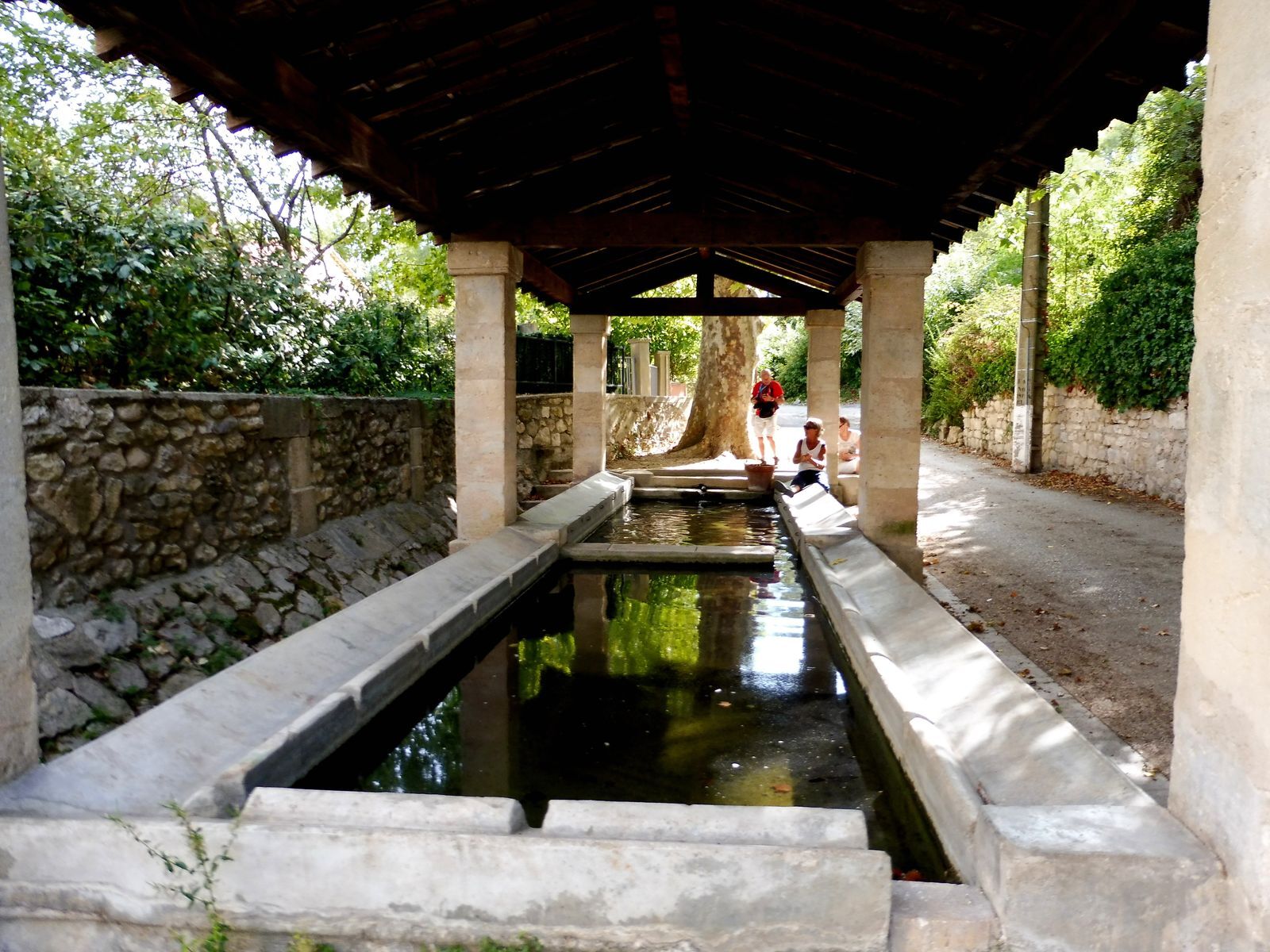
At the crossroads, climb left towards Assas (view of the castle). Turn right after the cemetery. Pass in front of the castle and the Romanesque church. Descend rue de la Calade, turn left into rue des Remparts, then right and immediately left into rue Saint-Denis. On the left, by chemin du Lavoir, return to the parking lot.
Follow the markings closely after point 4 in the Combe Buis.
Circuit not to be undertaken after heavy rain (crossing of the Rieu Coullon).
Yellow PR
https://www.grandpicsaintloup-tourisme.fr
Grand Pic Saint-Loup Tourist Office
Oenorando®
Obľúbené výlety v okolí
-
4,0
PIC SAINT LOUP HIKE
strednáTuristika 2,64 km -
5,0
CHARBONNIERES HIKE
svetloTuristika 5,24 km -
HIKING THE OASIS OF THE GARRIGUES
strednáTuristika 10,9 km -
HIKING THE CASTRIES AQUEDUCT
svetloTuristika 11,4 km -
HIKE OF THE CHÂTEAU DE RESTINCLIERES
svetloTuristika 7,86 km -
4,0
BOIS DE LÈQUE HIKE
svetloTuristika 9,34 km -
LA BOUCLE DE REGANHAT HIKE
svetloTuristika 4,33 km -
LOOP CYCLO N°18 - LA SOURCE DU LEZ
svetloCyklistika 13,9 km -
HIKING THE TOUR DES VILLAGES DU PIC - GR® DE PAYS TOURS IN GRAND PIC SAINT-LOUP
strednáTuristika 47,5 km -
WINE ROUTE IN THE SHADOW OF THE CHATEAU DE MONTFERRAND
Motorrad 49,8 km

Turistika a stopovanie


Nenechajte si ujsť ponuky a inšpiráciu na ďalšiu dovolenku
Vaša e-mailová adresa bol pridaný do poštového zoznamu.