







BOIS DE LÈQUE HIKE
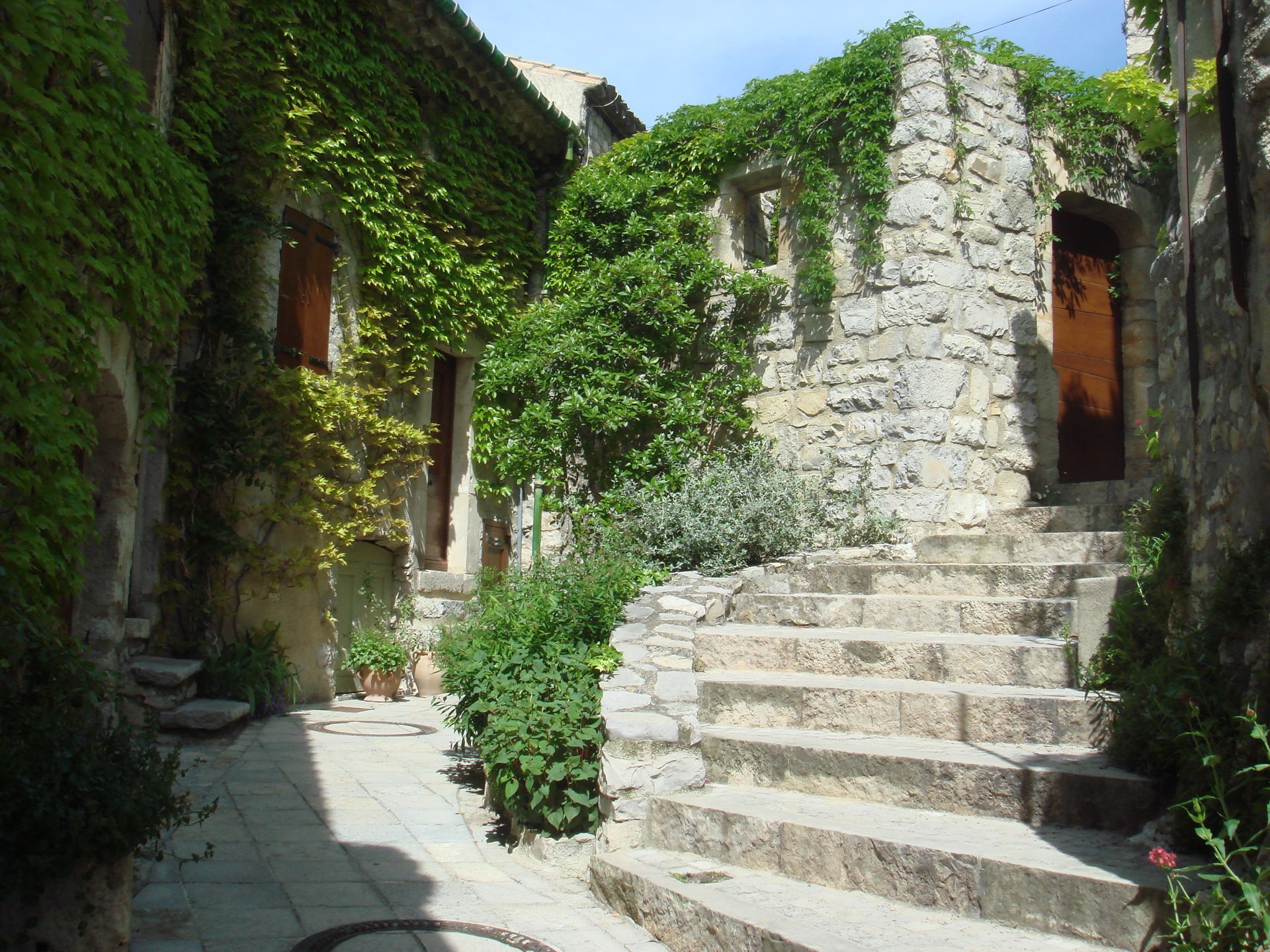
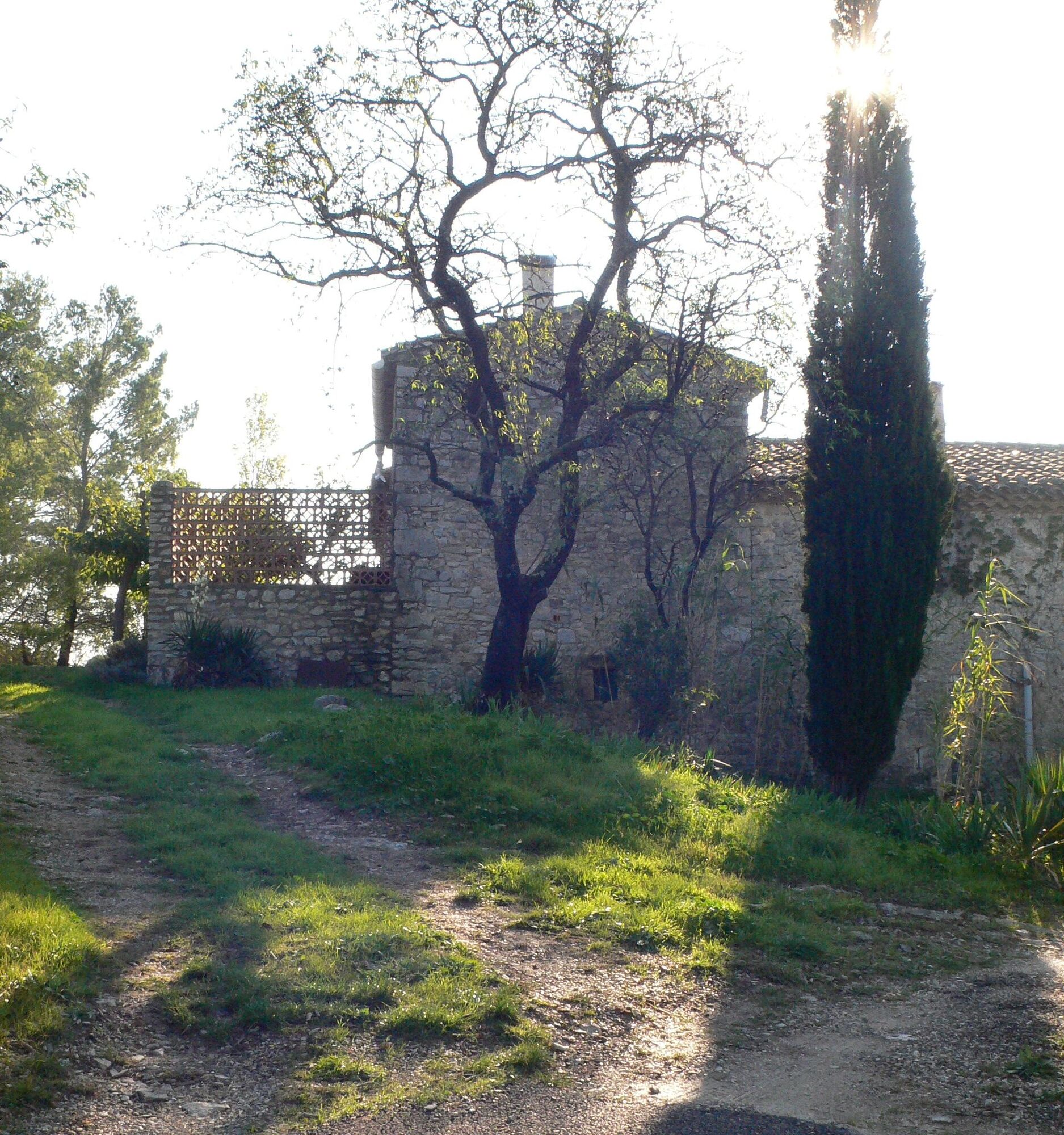
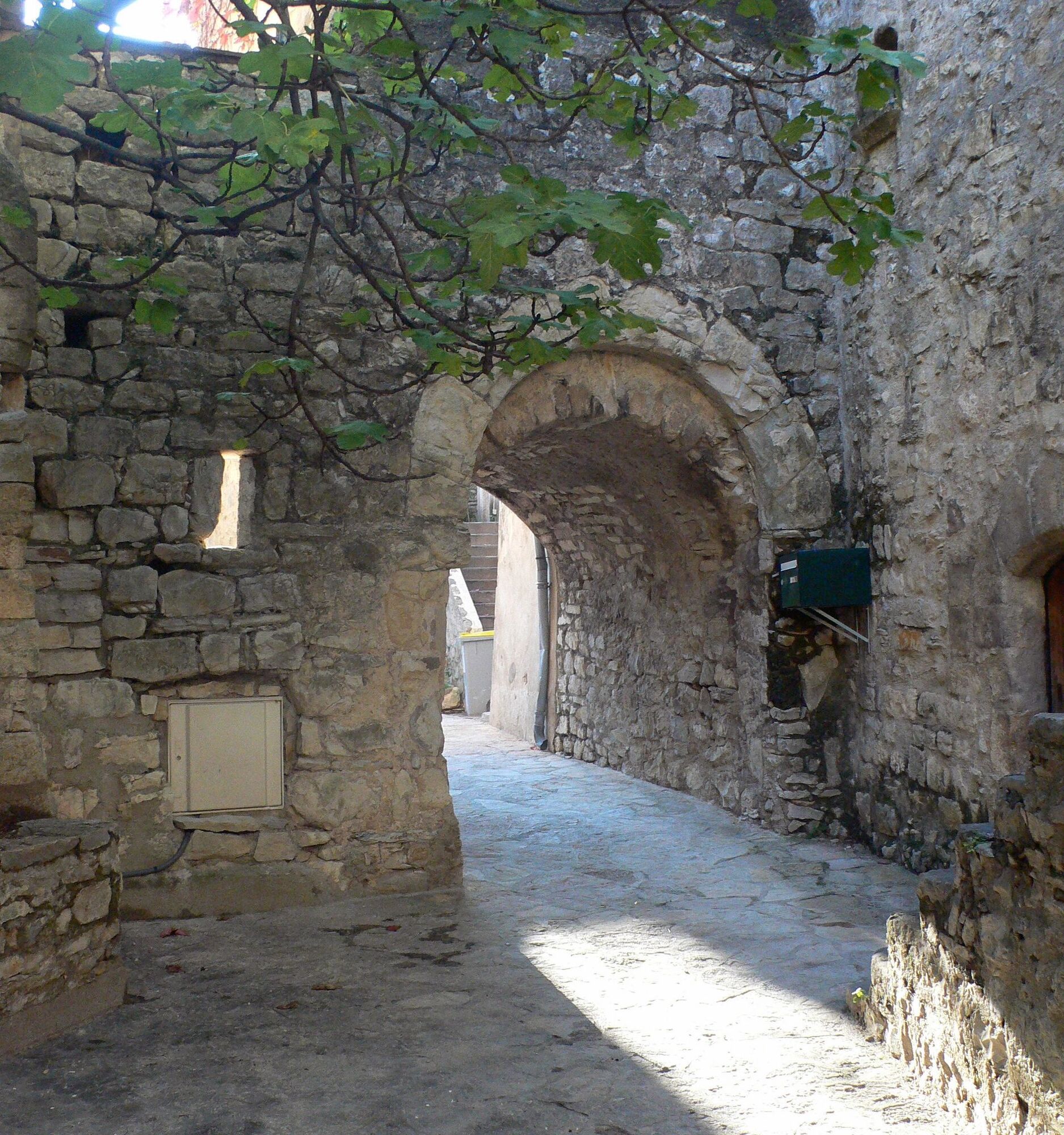
Two magnificent medieval villages frame a wooded area, offering beautiful views over its heights. You can start from either Les Matelles or Saint-Jean-de-Cuculles, the choice is yours.


1
From the parking lot, cross the road into Rue du Jeu-de-Ballon, then Rue de La Calade, and finally Chemin de Tabar for approx. 500 m. Turn left at the "caution au feu" and "poids lourds interdits" signs. Ignore the first track on the right, climb up and pass the "Commune des Matelles, Bois de Lèque" sign.
2
Turn right onto a path, then left onto a track. At a crossroads, turn left up a path and enter a wood of holm oaks and pines. Continue left on a track until you reach a crossroads (junction with the path from Saint-Jean-de-Cuculles).
3
Possibility of a return trip to Saint-Jean-de-Cuculles (4km, 1h). Continue straight ahead. Go left up a track. On a stony track, reach the plateau at a T junction (to the north, view of Pic Saint-Loup and l'Hortus).
4
Turn left and continue straight ahead, ignoring the various left and right turn-offs. Descend from the plateau (viewpoint over the plain and the village of Les Matelles) on a stony path (take care). The path widens and reaches a crossroads. Ignore the track on your left and continue straight ahead. Return to the outward path.
In case of emergency, call 112.
PR Yellow
https://www.grandpicsaintloup-tourisme.fr
Grand Pic Saint-Loup Intercommunal Tourist Office
PR - FFR

Obľúbené výlety v okolí
-
5,0
DRAILLES HIKE
svetloTuristika 7,16 km -
4,0
PIC SAINT LOUP HIKE
strednáTuristika 2,64 km -
RAVIN DES ARCS HIKE
strednáTuristika 3,83 km -
5,0
CHARBONNIERES HIKE
svetloTuristika 5,24 km -
HIKING THE OASIS OF THE GARRIGUES
strednáTuristika 10,9 km -
HIKING THE CASTRIES AQUEDUCT
svetloTuristika 11,4 km -
HIKE OF THE CHÂTEAU DE RESTINCLIERES
svetloTuristika 7,86 km -
OENORANDO® BETWEEN GRÉS DE MONTPELLIER AND PIC SAINT-LOUP
strednáTuristika 15,0 km -
HIKING THE TOUR DES VILLAGES DU PIC - GR® DE PAYS TOURS IN GRAND PIC SAINT-LOUP
strednáTuristika 47,5 km -
LOOP CYCLO N°18 - LA SOURCE DU LEZ
svetloCyklistika 13,9 km
Turistika a stopovanie


Nenechajte si ujsť ponuky a inšpiráciu na ďalšiu dovolenku
Vaša e-mailová adresa bol pridaný do poštového zoznamu.





