


Boucle de Saint-Martin
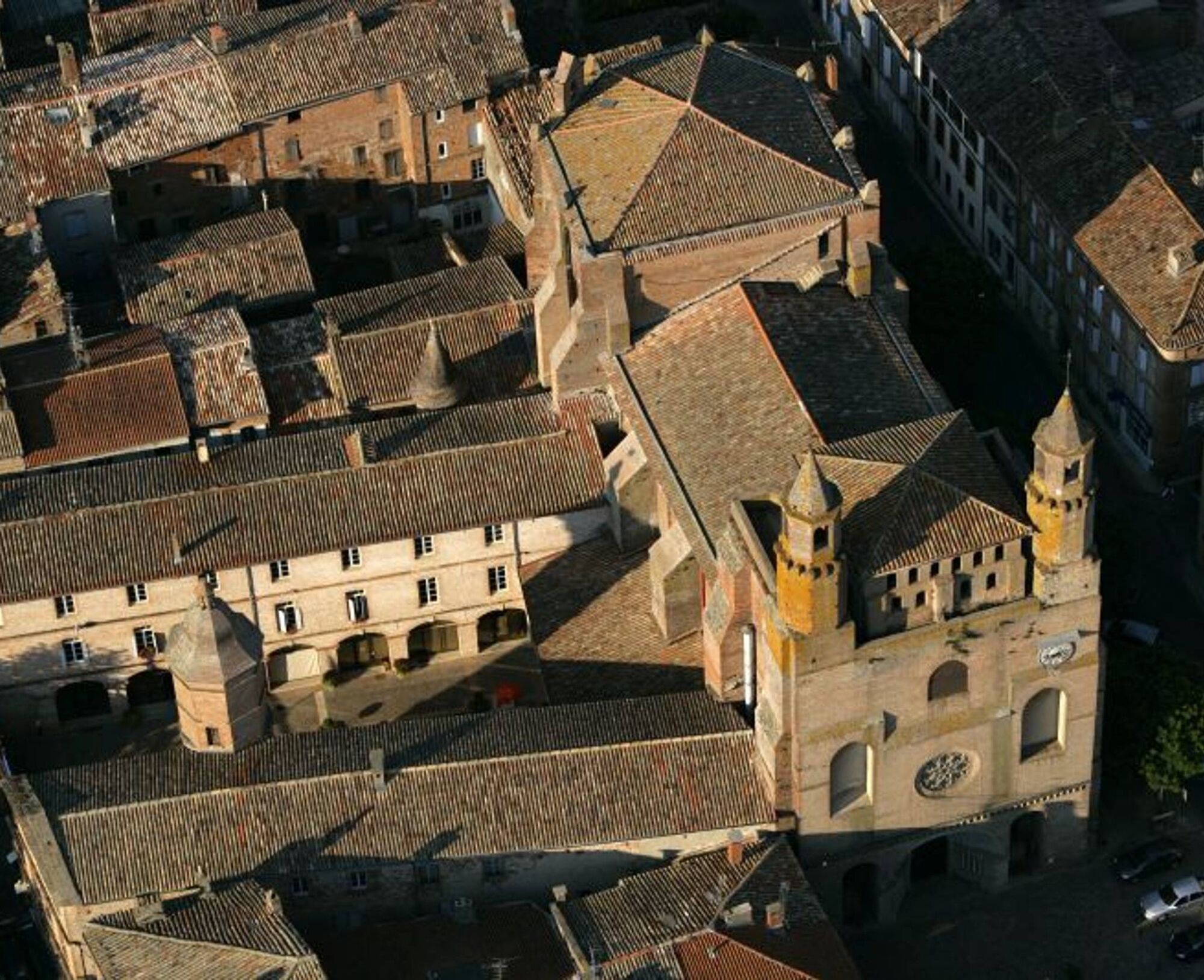
In the Middle Ages, the Church of Saint-Martin de Mours (also called "of love") stood on a feudal mound. First recorded in 1229, it was completely rebuilt in the 19th century, and its history is closely...
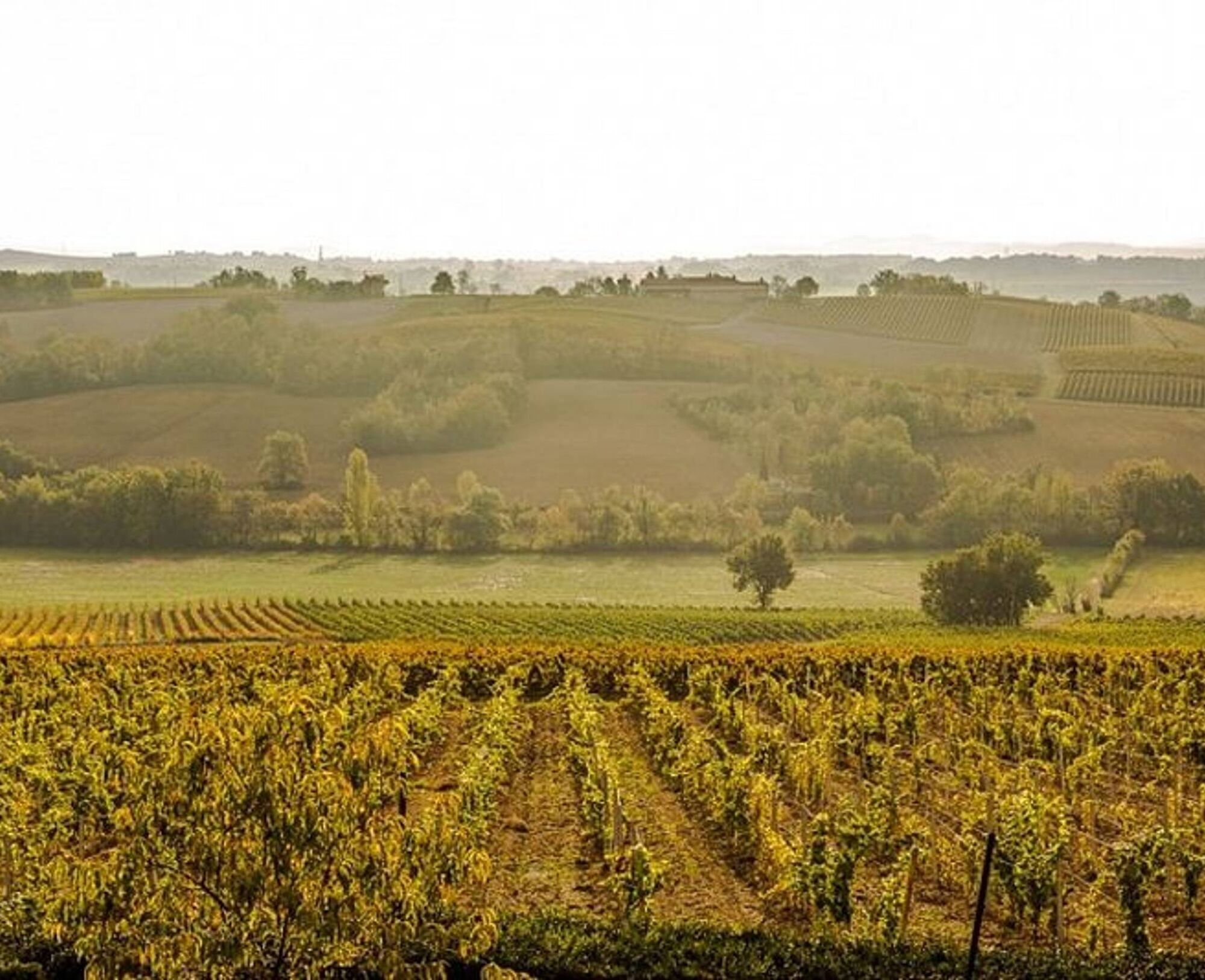
Today, a preservation association maintains the church, as is the case with many rural buildings that enrich the hiker's route. Along your path, you will discover small vineyard heritage sites, such as vineyard huts and dovecotes.

1. From the parking lot in front of the Las Peyras School Complex in Rabastens, go right on the path that runs along houses and then fields (common route with the Amédée the winemaker's trail). Continue straight on the flat path. Cross the road and keep going in the same direction on the grassy path.
2. To access the Church of Saint-Martin de Mours: 600m round trip from Point 3.
3. In front of a large brick house, turn left. Pass by a private dovecote and then a small private pond. Continue straight up the path along fields (view of the Church of Saint-Martin de Mours on the right).
4. At the top of the path, turn left. At the intersection with a gravel path, in Perelles, turn left. Reach a road; turn left and then, in front of a calvary, turn right onto a dirt path.
5. At the next fork, go left (another common section with the Amédée the winemaker's trail).
6. Leave the path on the right (view of the Tarn Valley) and continue straight on the grassy path.
7. After a bend and a house (viewing table), keep descending on the path (do not take the stairs of the Amédée the winemaker's trail). Leave a path on the right and continue straight. Upon reaching the road (place called les Bordes), turn left and return to the starting point.
Easy
Obľúbené výlety v okolí
-
Potters' Loop
svetloTuristika 6,38 km -
Vallons et forêts
ťažkéTuristika 30,1 km -
Sentier des pays d'en haut
strednáTuristika 13,2 km -
Mountain Biking Trail: Grande Boucle Bastides and Vineyards of Gaillac
ťažkéMountainbike 136,3 km -
The Auzerals Lake
strednáTuristika 13,9 km -
Conques Toulouse route - From Saint-Martin-Laguépie to Saint-Sulpice-la-Pointe
strednáTuristika 75,1 km -
Tour du Tarn on horseback: Lisle-sur-Tarn / Puycelsi
ťažkéJazda na koni 28,4 km -
Plain trail
ťažkéTuristika 20,5 km -
GR46 ® - The Albigensian Bastides
ťažkéTuristika 115,0 km -
Sentier de la plaine d'Agout
svetloTuristika 6,74 km

Turistika a stopovanie


Nenechajte si ujsť ponuky a inšpiráciu na ďalšiu dovolenku
Vaša e-mailová adresa bol pridaný do poštového zoznamu.