


Hike around Kirchberg
On this hike, you will gain an in-depth insight into the area of the municipality of Kirchberg with its countless hamlets and villages as well as various hills and valleys.
The start of the hike is in...
On this hike, you will gain an in-depth insight into the area of the municipality of Kirchberg with its countless hamlets and villages as well as various hills and valleys.
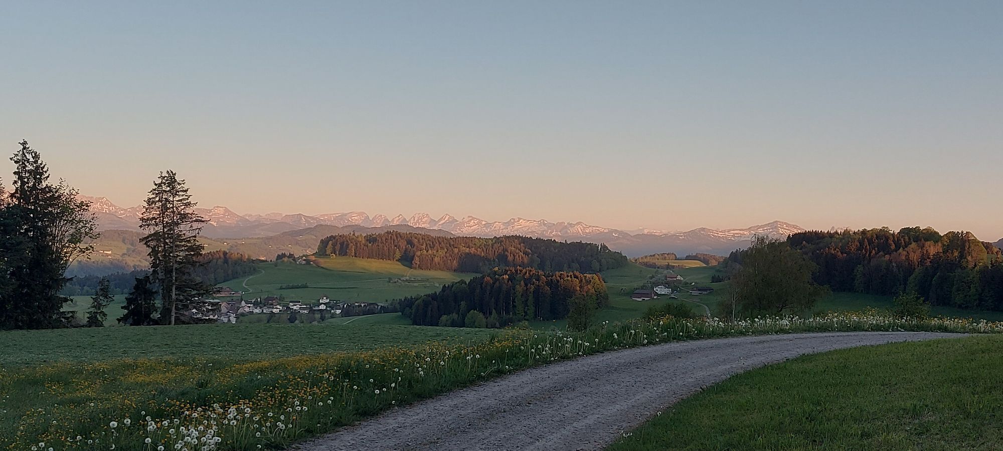
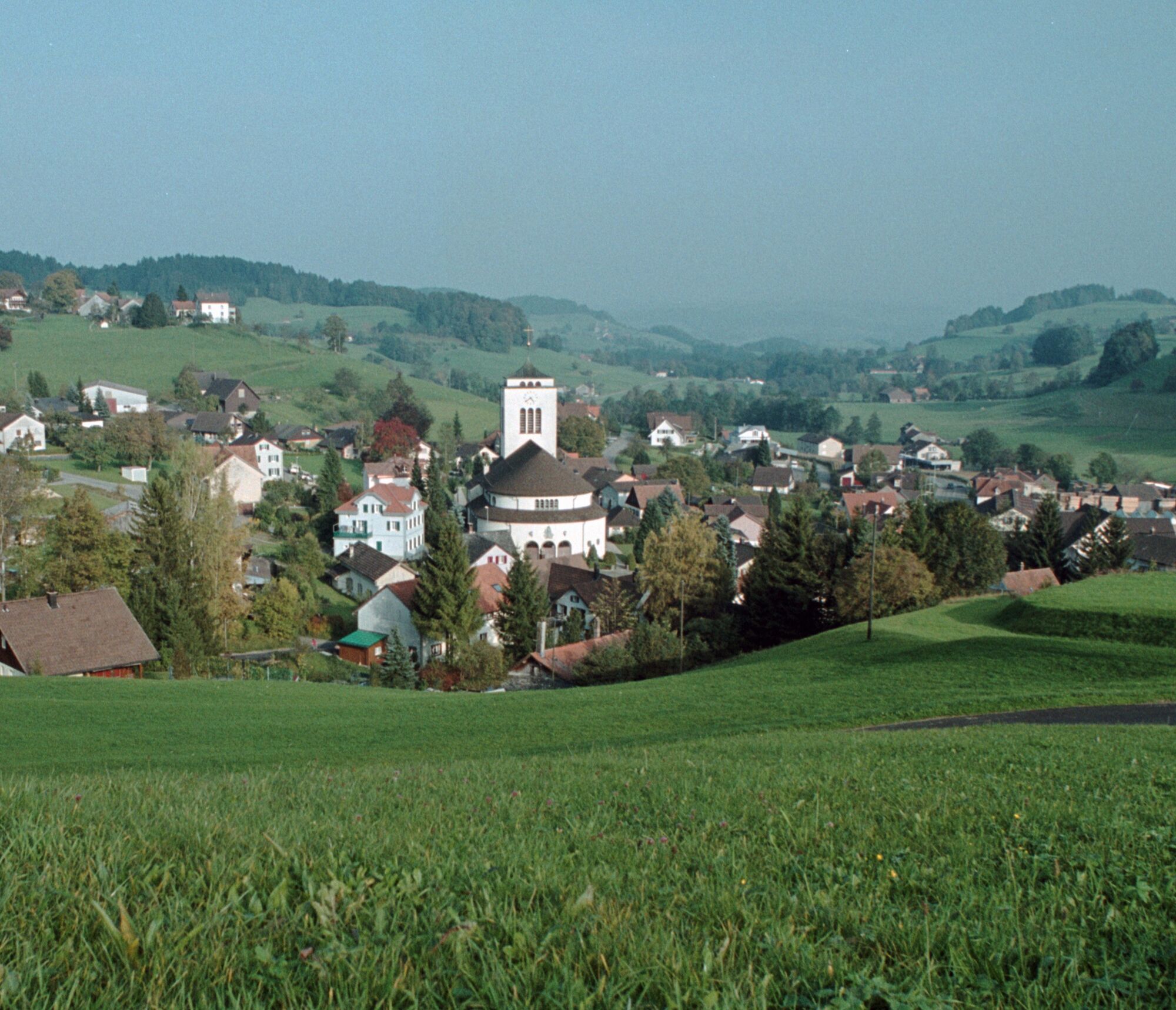
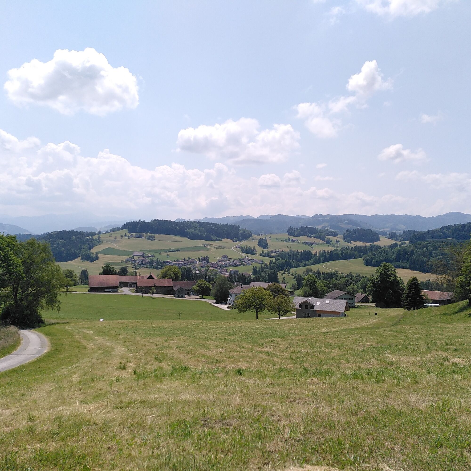
The start of the hike is in the center of Kirchberg. The path then takes you gently up and down over meadows and forests to the villages of Gähwil and Müselbach. Along the way, you also pass through some of the numerous hamlets of the municipality, for example, Tüfrüti, Laubberg, or Rupperswil.

Kirchberg, Post - Hasenberg - Turpenriet - Gaiswald - Hohenbüel - Gähwil - Vordernord - Hamberg - Schmitten - Laubberg - Müselbach - Rupperswil - Hüsligs - Kirchberg
Day hiking backpack (approx. 20 liters) with rain cover, sturdy and comfortable footwear, weather-appropriate and durable layered clothing, possibly telescopic poles, sun and rain protection, provisions and drinking water, first aid kit, pocket knife, mobile phone, possibly headlamp, map material
The path is not specially signposted. Please follow the general yellow hiking trail signs.
- From the Zurich metropolitan area and Central Switzerland:
On the A3 at Reichenburg towards Rapperswil and then over the Ricken Pass to Wattwil. Then down the Toggenburg to Bazenheid. From there, follow the turnoff to Kirchberg.
Or on the A1 to Wil, take the Toggenburg exit and then take the main road via Rickenbach to Kirchberg.
- From Eastern Switzerland:
Drive from St. Gallen on the A1 to Wil, take the Toggenburg exit. Follow the main road to Kirchberg.
- From Southern Germany:
Via Bregenz and St. Margrethen on the A13 to Haag and take the exit towards Toggenburg/Wildhaus. Or via Konstanz to Wil, then take the Toggenburg exit and follow the main road to Kirchberg.
Start and finish: Kirchberg, Post bus stop (from Wil train station)
In Kirchberg there are various public parking lots (e.g., at Tellplatz, by the football field, or on Husenstrasse towards Bazenheid).
Hauptstrasse 104
CH-9658 Wildhaus
Tel: +41 (0)71 999 99 11
E-Mail: info@toggenburg.swiss
Internet: www.toggenburg.swiss
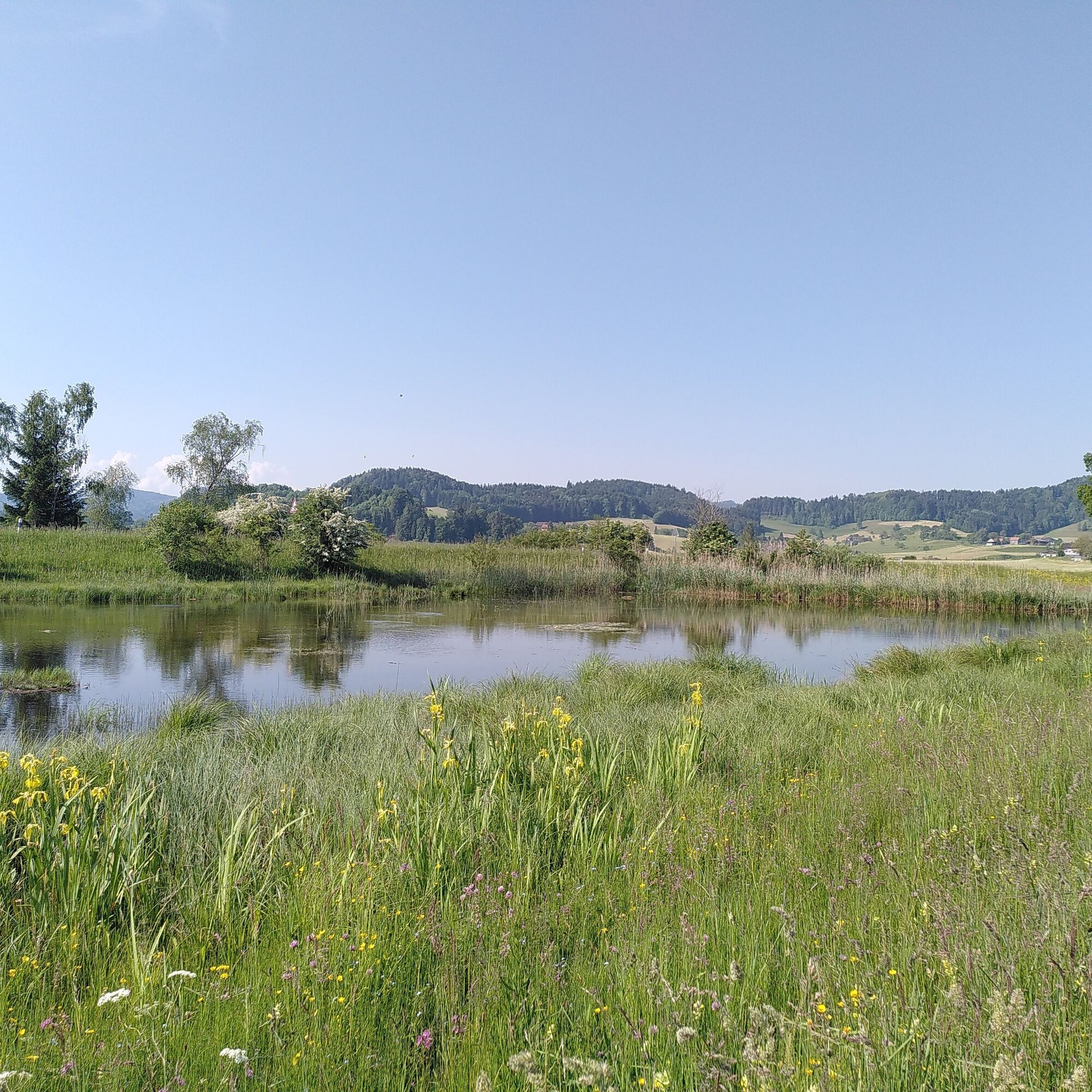
Take a break and listen to the frog concert at the flat moor with pond in Turpenriet, an amphibian spawning area of national importance.

Obľúbené výlety v okolí
-
4,3
Schnebelhorn Rundwanderung
strednáTuristika 11,9 km -
3,2
Winter hike at the Hulftegg
svetloZimná turistika 7,39 km -
4,5
Hulftenegg - Hörndli
svetloZimná turistika 6,98 km -
4,3
Steg-Schnebelhorn
strednáTuristika 17,9 km -
4,7
Hike at Hulftegg
svetloTuristika 7,42 km -
4,5
Bauma - Chlihörnli - Hörnli - Steg
strednáTuristika 10,3 km -
5,0
Gratwanderung– Hagheerenloch Runde von Sternenberg
strednáTuristika 9,96 km -
4,5
Hike from Ganterschwil to Bruedertöbeli
svetloTuristika 7,15 km -
4,8
Bahnhof - Hüttchopf - Scheidegg - Wald ZH
strednáTuristika 12,8 km -
5,0
Hike from the mini-town Lichtensteig to the countryside
strednáTuristika 11,2 km
Turistika a stopovanie


Nenechajte si ujsť ponuky a inšpiráciu na ďalšiu dovolenku
Vaša e-mailová adresa bol pridaný do poštového zoznamu.