


CICLOVIA FRANCIGENA - complete route
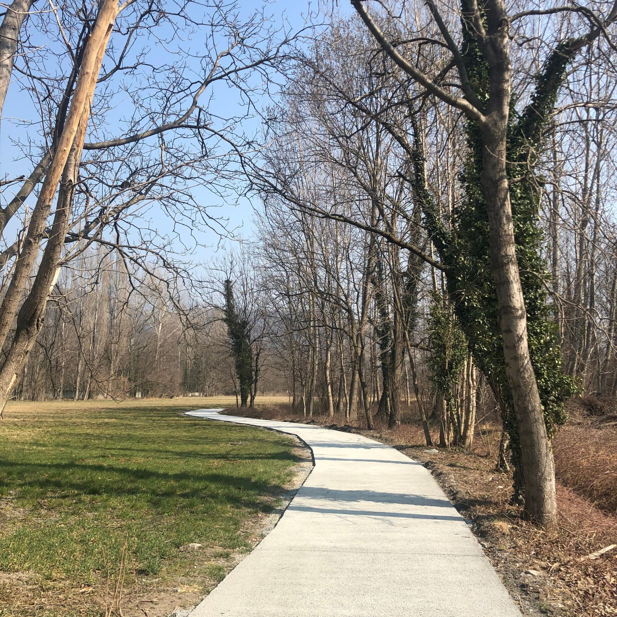
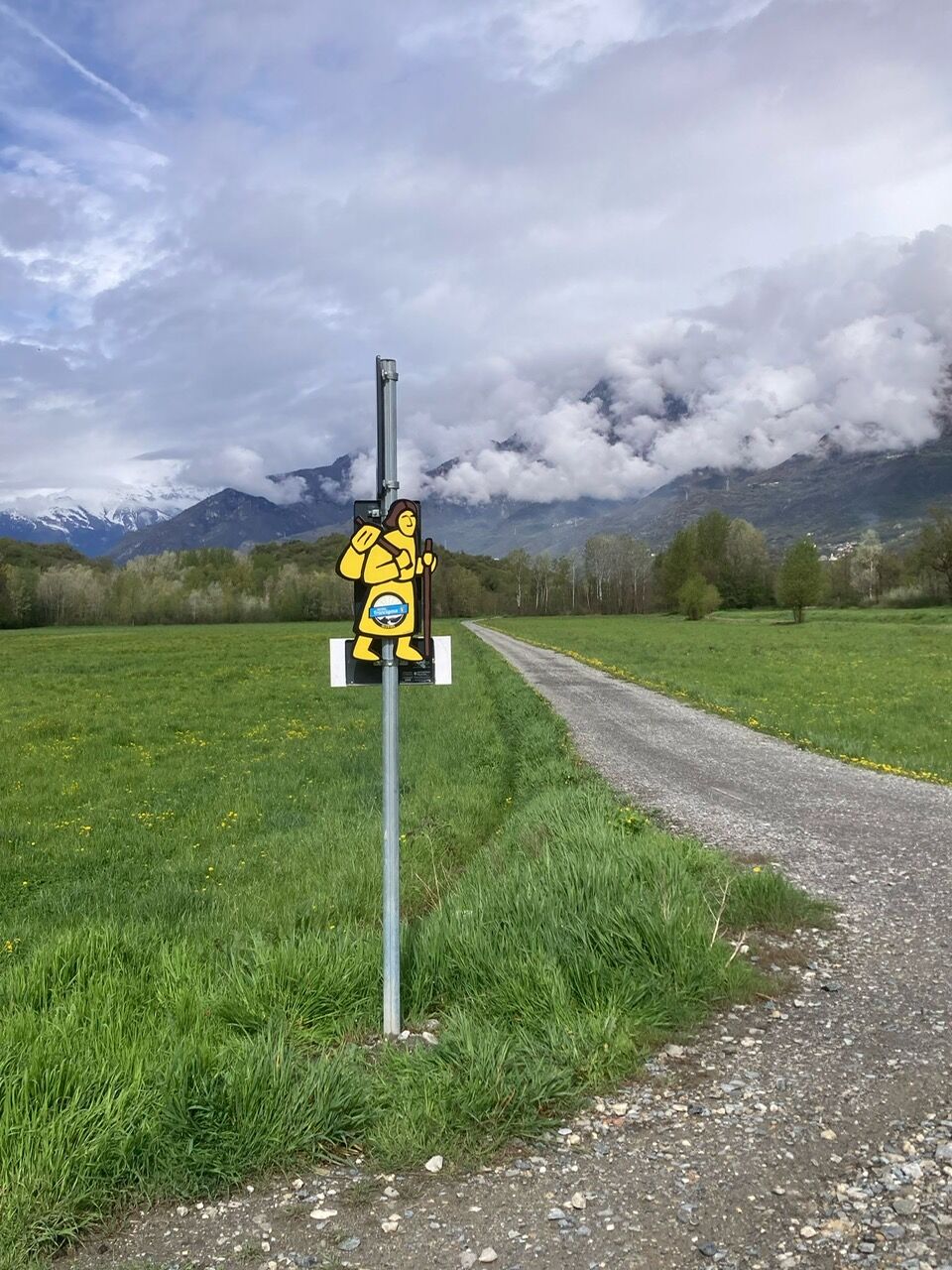
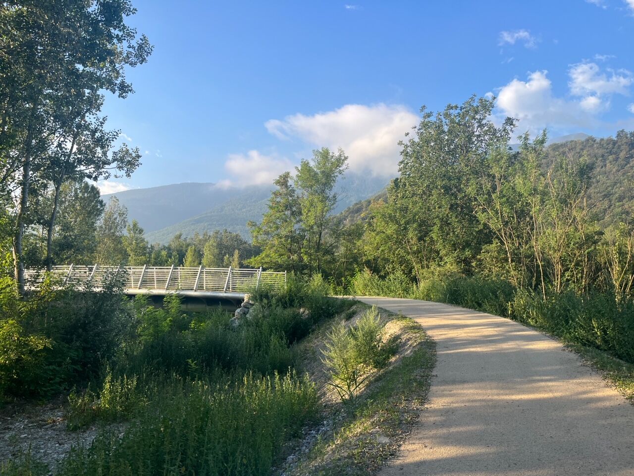
The Francigena Ciclovia starts from Caselette, easily reachable from Turin by train (Alpignano station) or along the Corona delle Delizie cycle paths. The route develops in the plain at the foot of Monte...
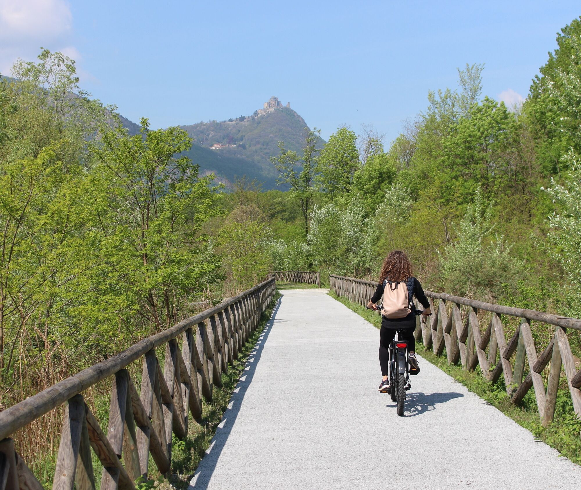
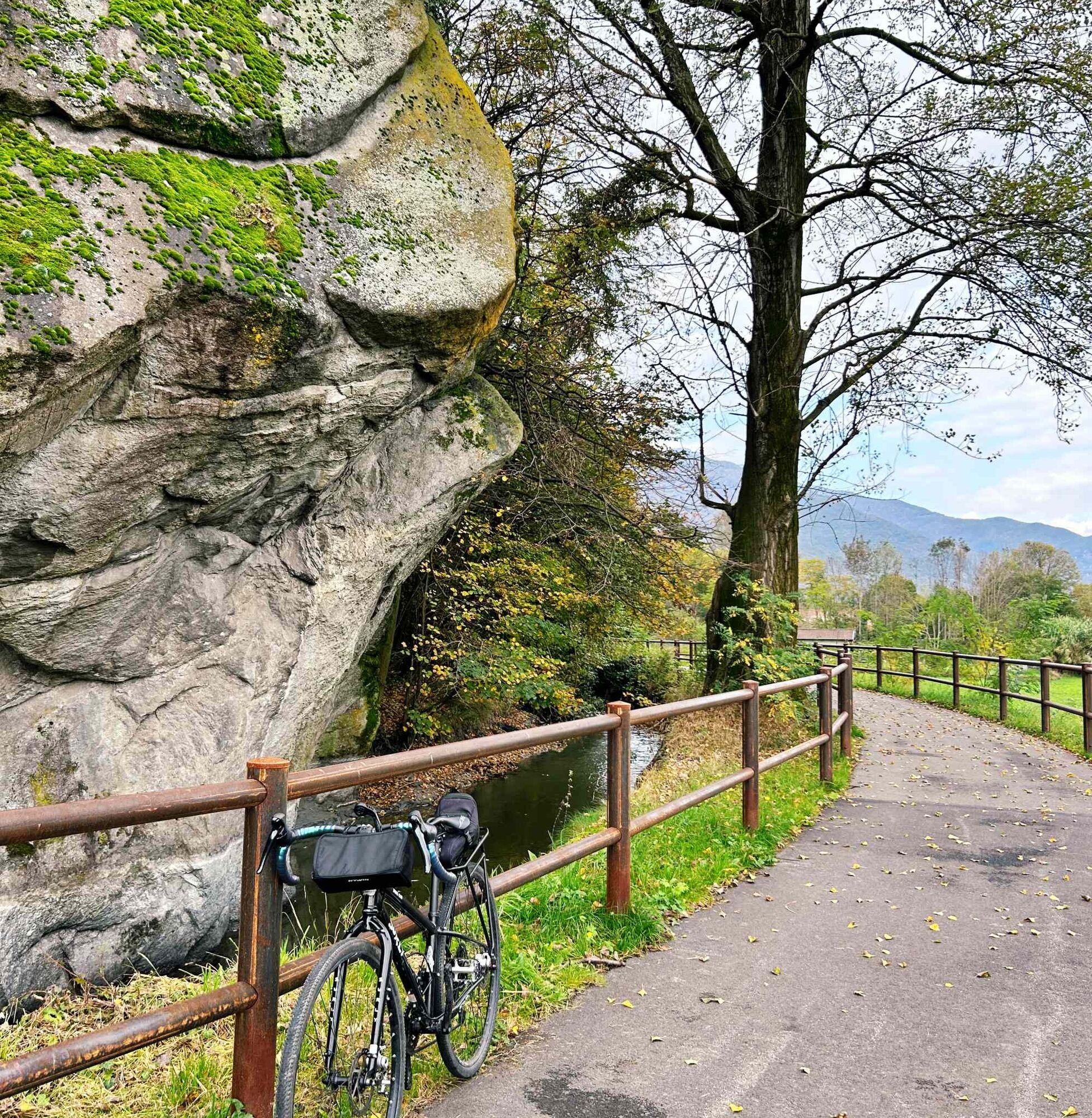
From Sant’Ambrogio, at the foot of Monte Pirchiriano, the path continues towards Chiusa San Michele, Vaie, and Sant’Antonino, where the route runs along the Cantarana canal and the shady Mareschi area. Among cultivated fields and quiet roads, it reaches Villar Focchiardo and, after some protected crossings of SS25 and SS24, Cascina Roland, a historic resting point for travelers and pilgrims.
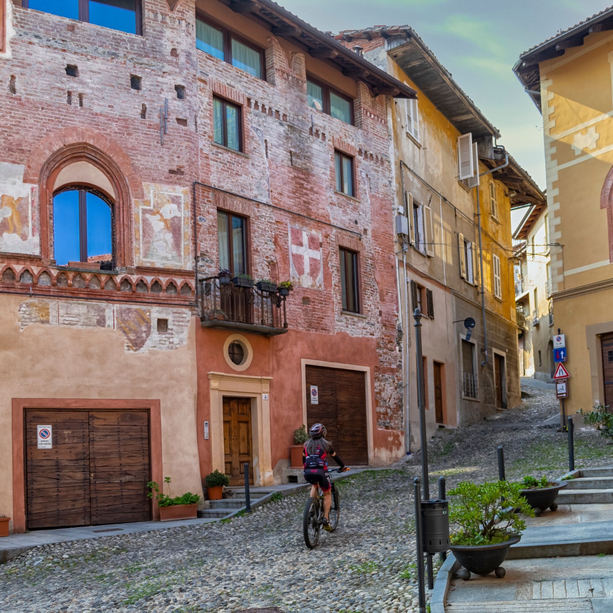
The route continues towards San Giorio, dominated by the medieval castle, then joins the pedestrian route of the Via Francigena near Roncaglie and old Bussoleno. The itinerary ends in Bussoleno, an important railway hub with regular connections on the Turin–Bardonecchia line, ideal for planning arrivals and returns.

The Francigena Ciclovia has direct connections and regular schedules on the SFM3 Turin-Bardonecchia railway line.
Obľúbené výlety v okolí
-
4,7
On the summit of the magical Musiné
svetloTuristika 6,94 km -
Avigliana Lakes - Easy route, ideal for families with children
svetloTuristika 9,25 km -
CASELETTE - Monte Musiné
strednáTuristika 7,52 km -
COLLE DEL LYS Partisan Trail
strednáTuristika 11,6 km -
GIVOLETTO Madonna della Neve on Monte Lera
strednáTuristika 6,11 km -
5,0
Unspoiled woods and ancient hamlets in Valsangone - Selvaggio Loop - Bagaggera
svetloTuristika 9,08 km -
COLLE DEL LYS Monte Arpone loop
svetloTuristika 4,50 km -
Easy route - Monte Cuneo (Moncuni) Loop route from Reano
svetloTuristika 7,97 km -
4,0
The Giro dell'Orsiera G.O. Trail Stage 1: Molè - Rifugio Balma
strednáTuristika 4,52 km -
A walk in the Megalithic - The Menhirs of Pietraborga - Direct route from the Torrioni
strednáTuristika 9,30 km

Turistika a stopovanie


Nenechajte si ujsť ponuky a inšpiráciu na ďalšiu dovolenku
Vaša e-mailová adresa bol pridaný do poštového zoznamu.