







Green loop trail of Lake Orta

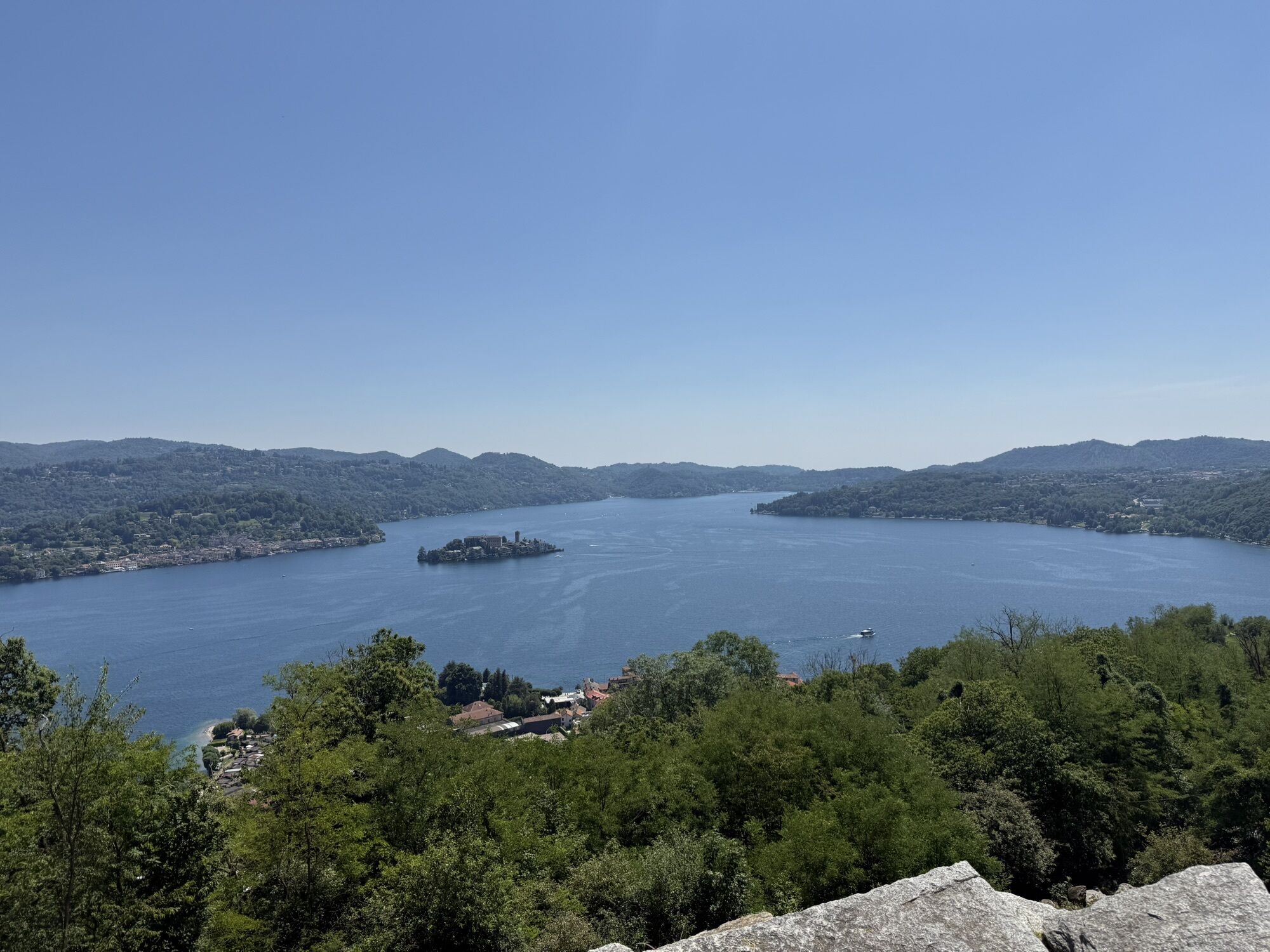
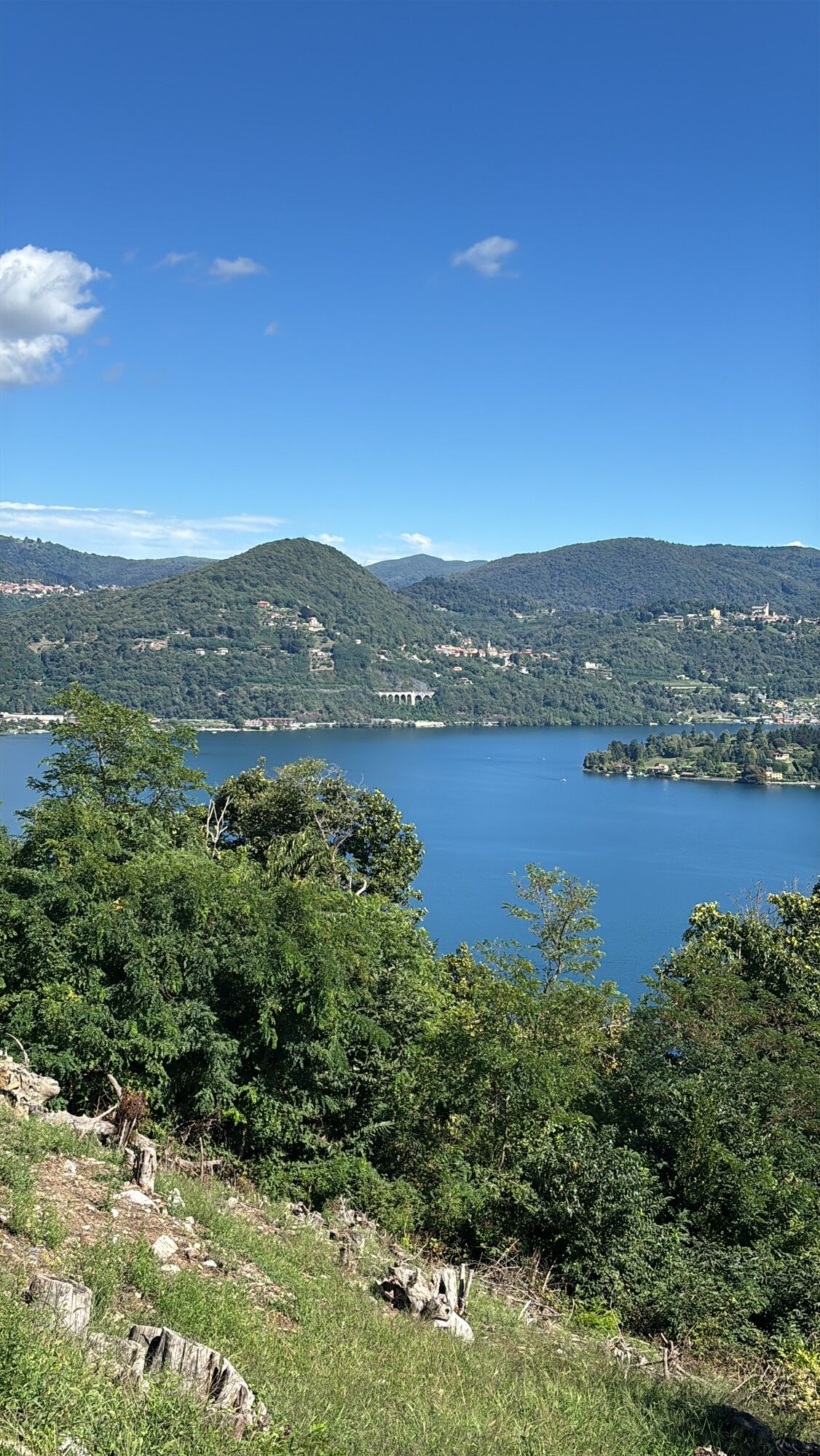
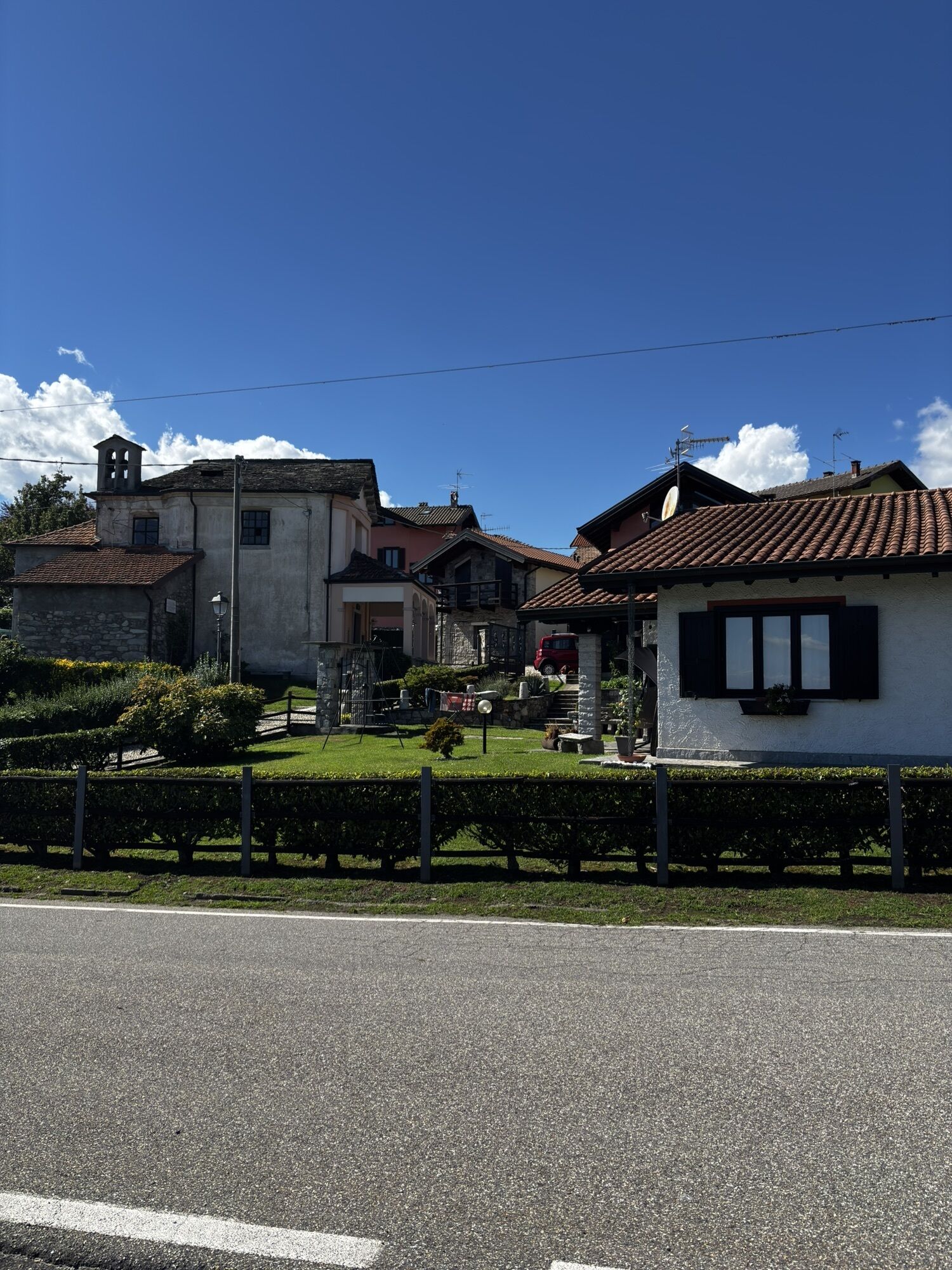
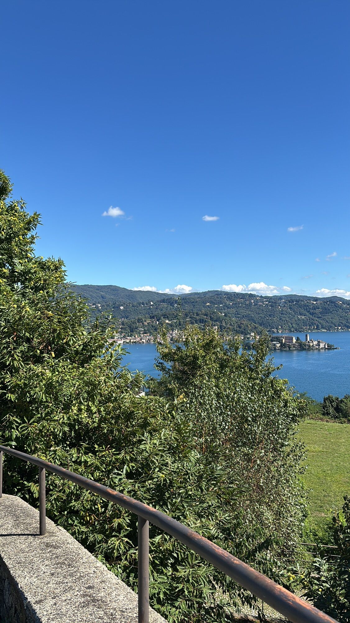
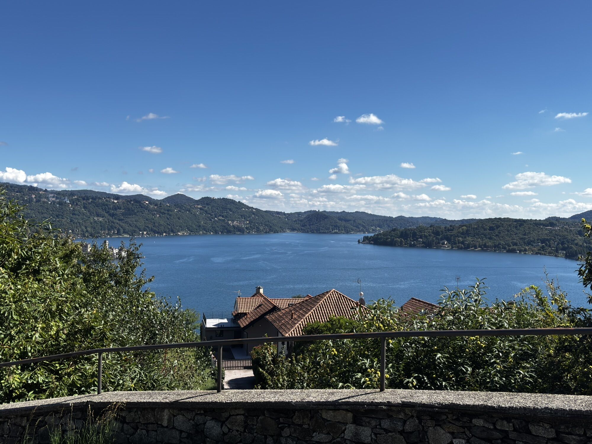
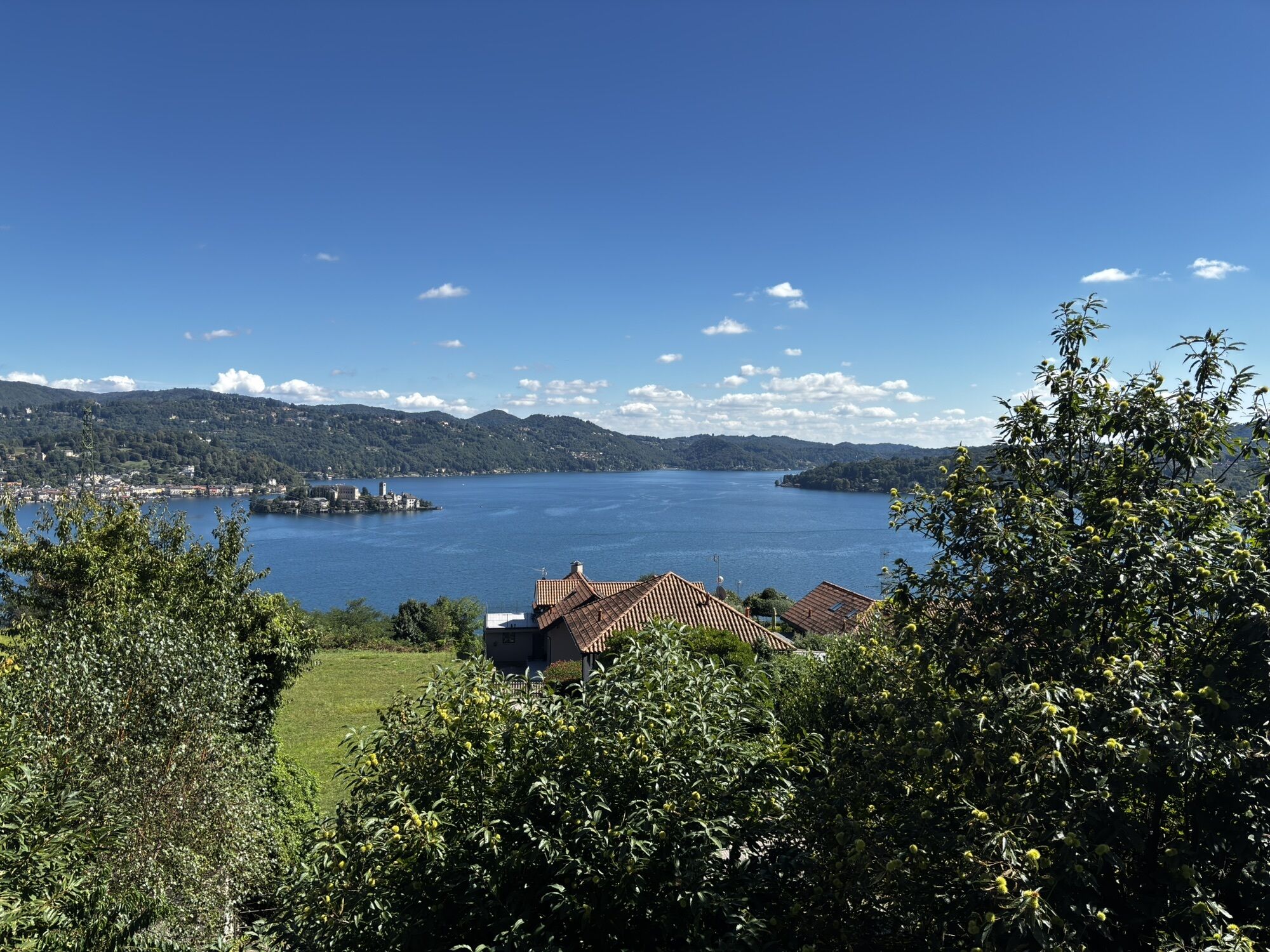
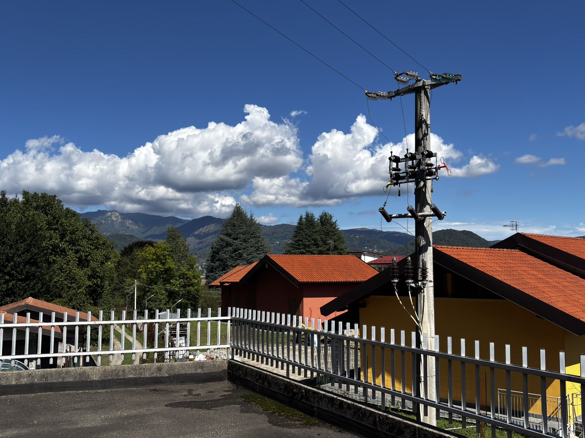
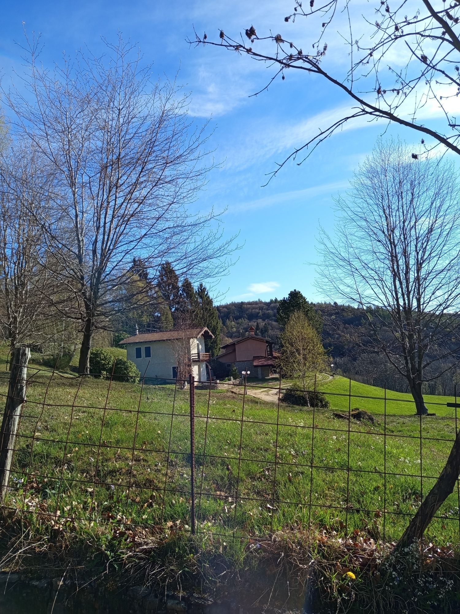
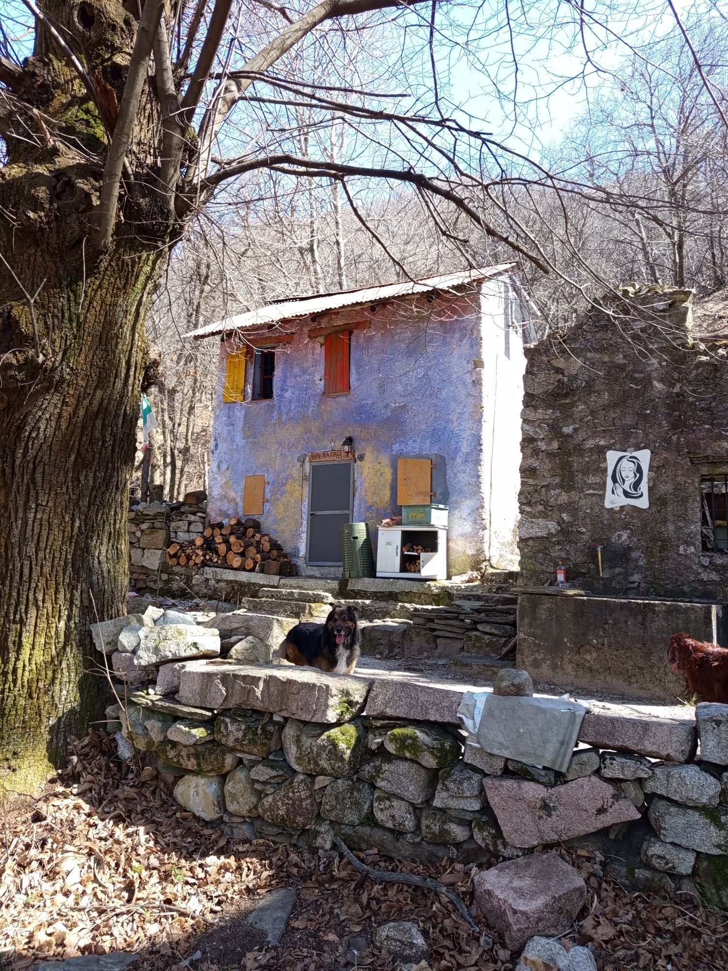
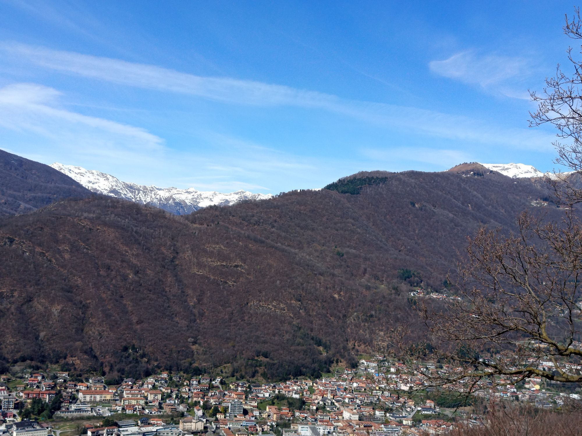
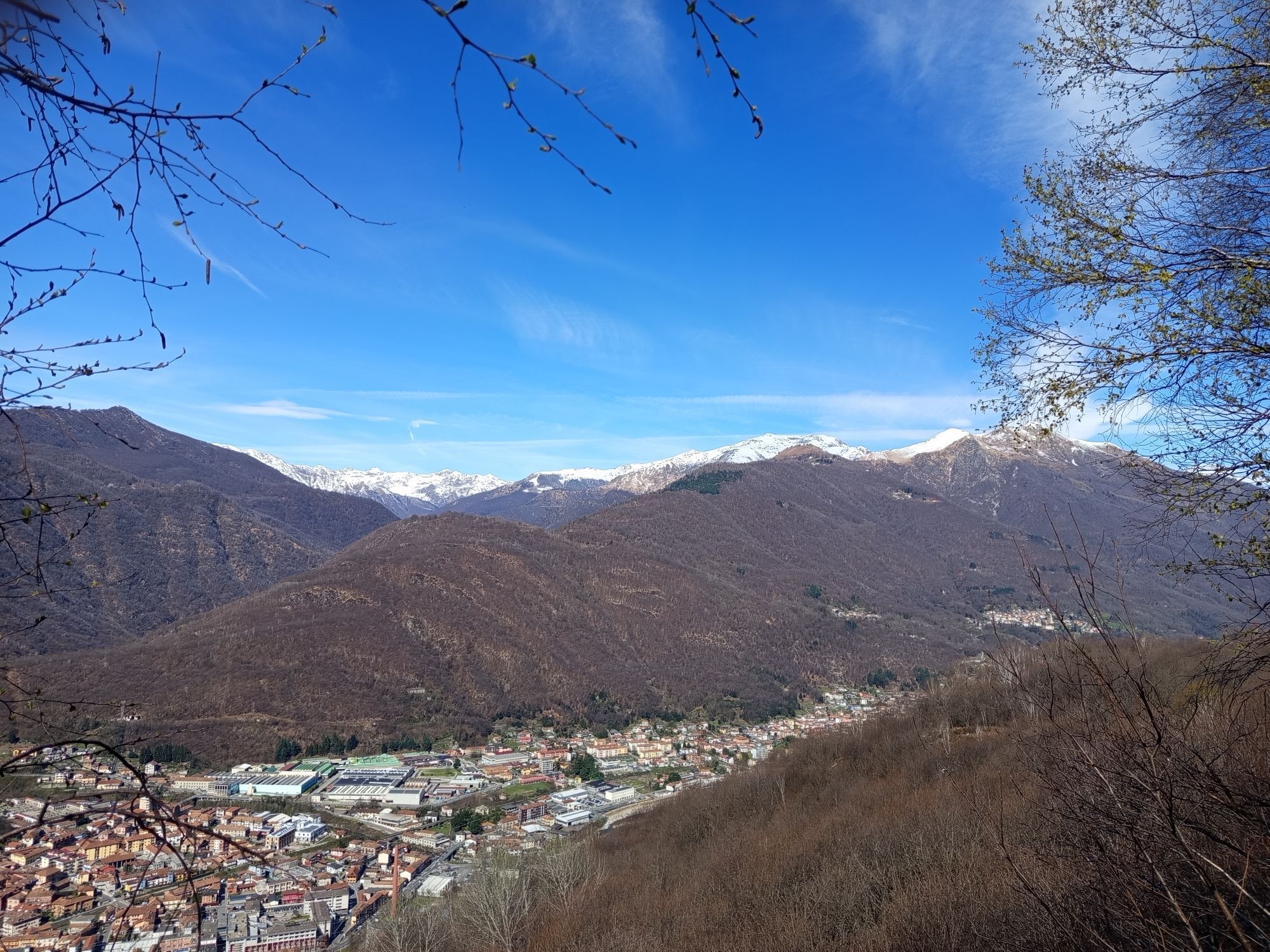
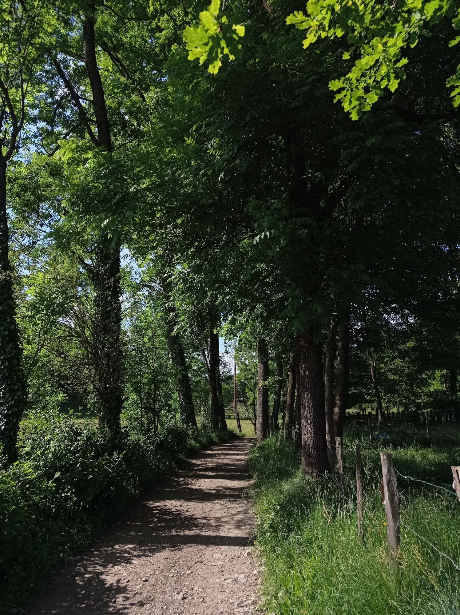
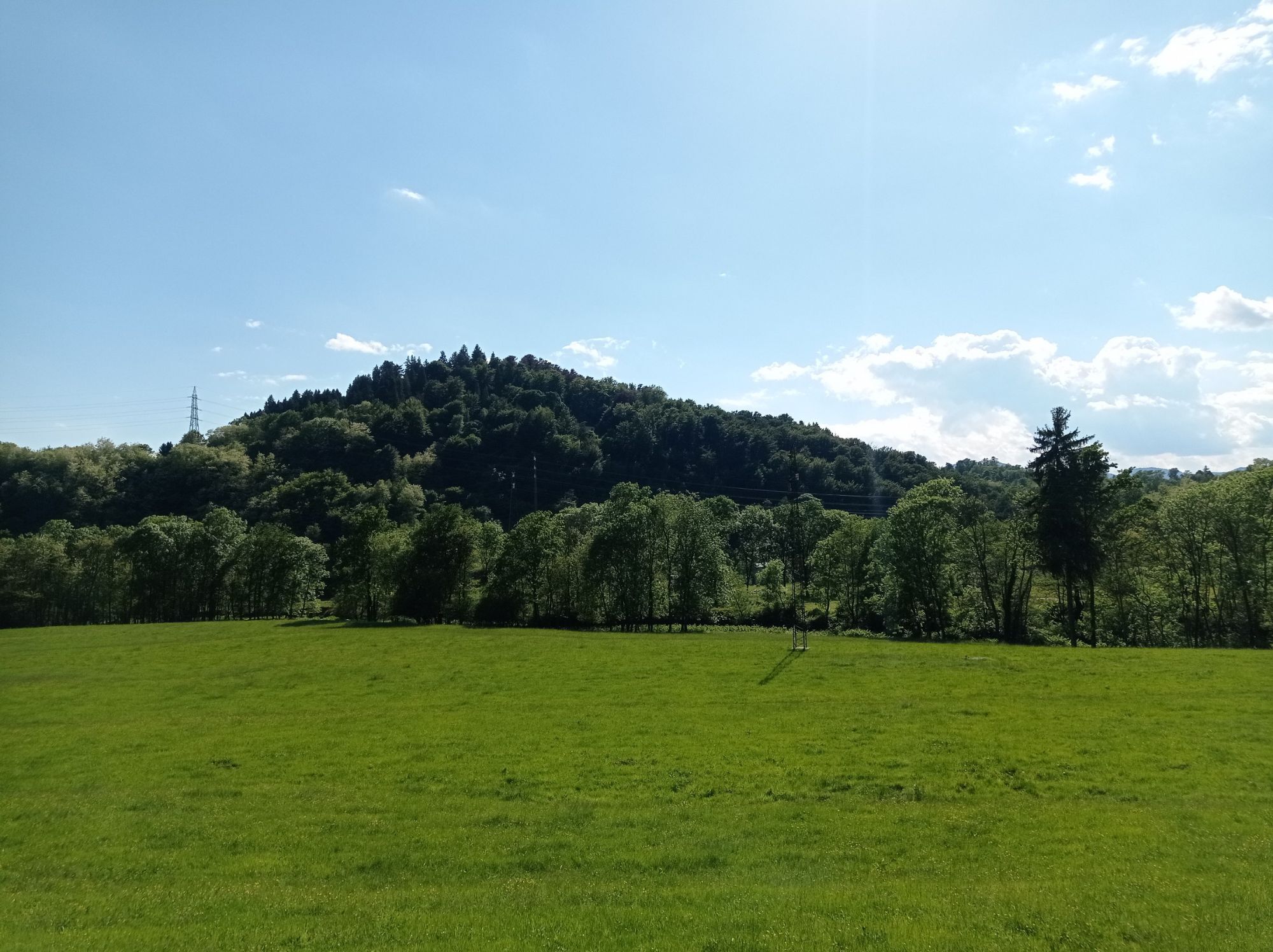
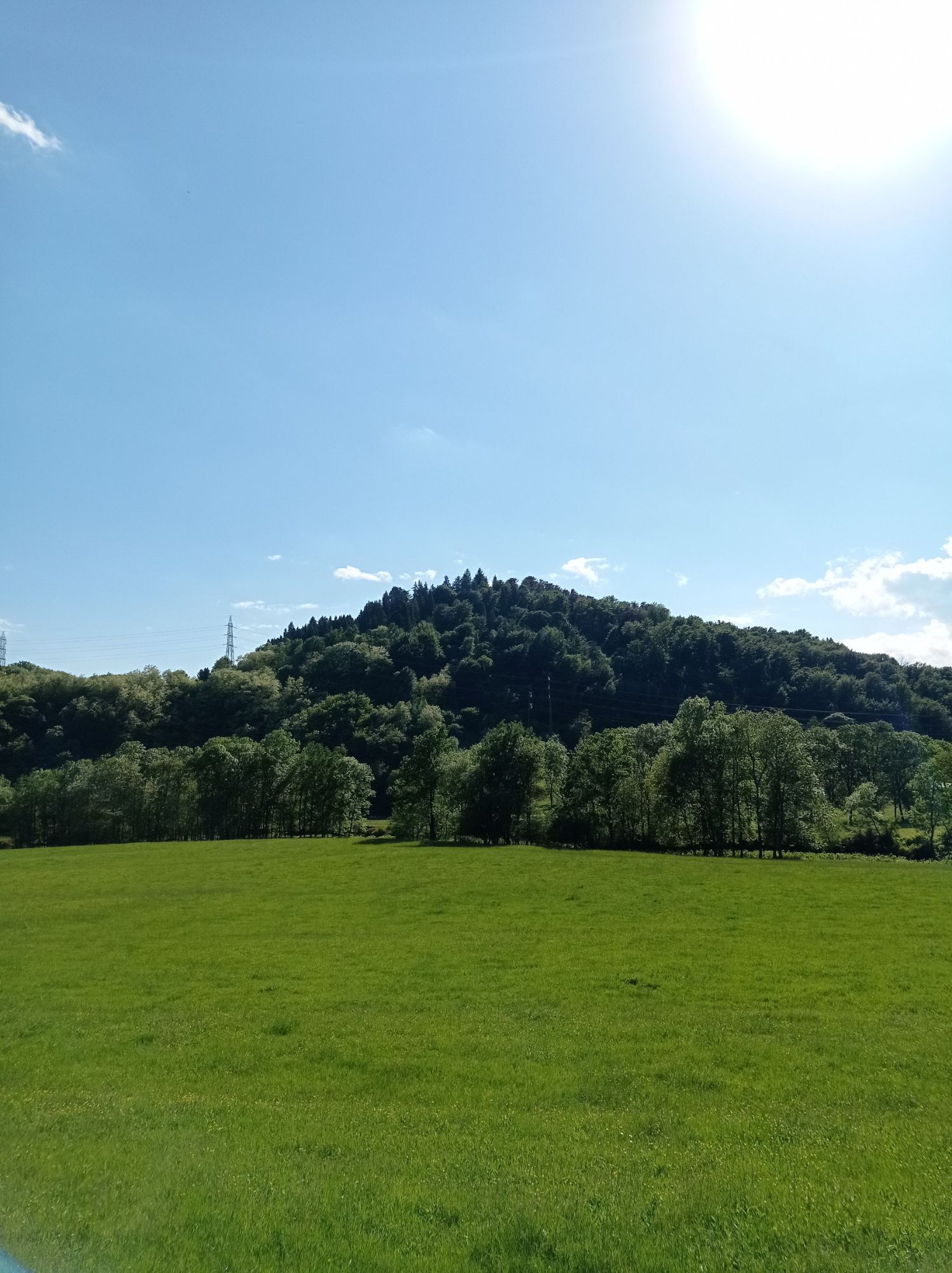
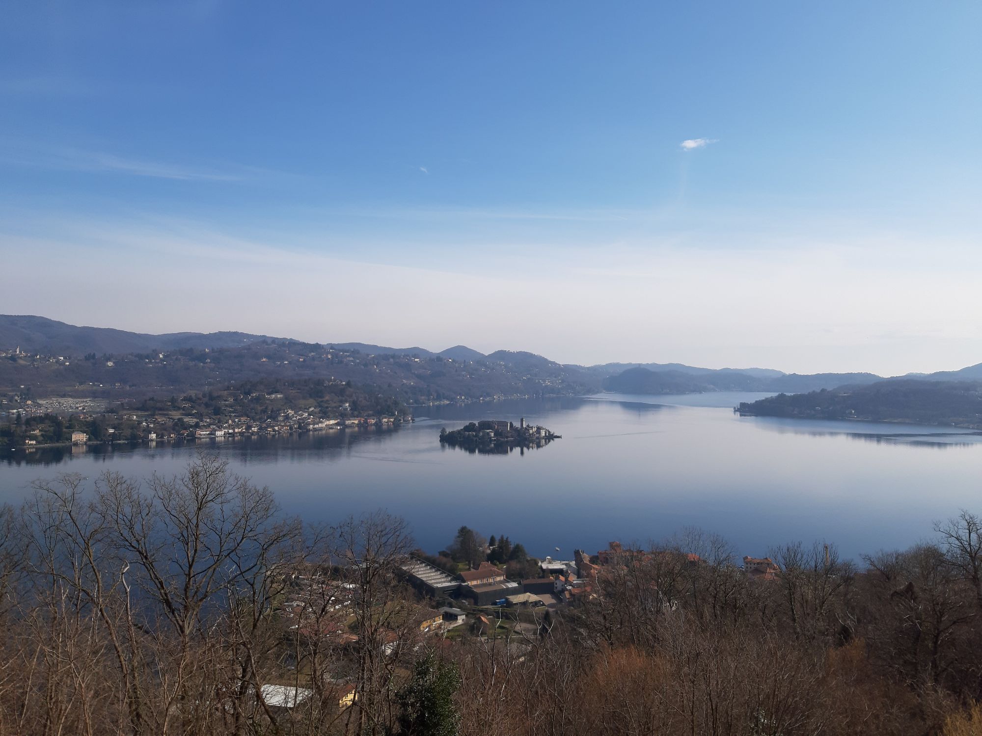
Beautiful mountain bike tour to discover the towns of Lake Orta which can be covered in the absence of snow, and, in every season, presents itself with a unique and evocative appearance. You cycle through...
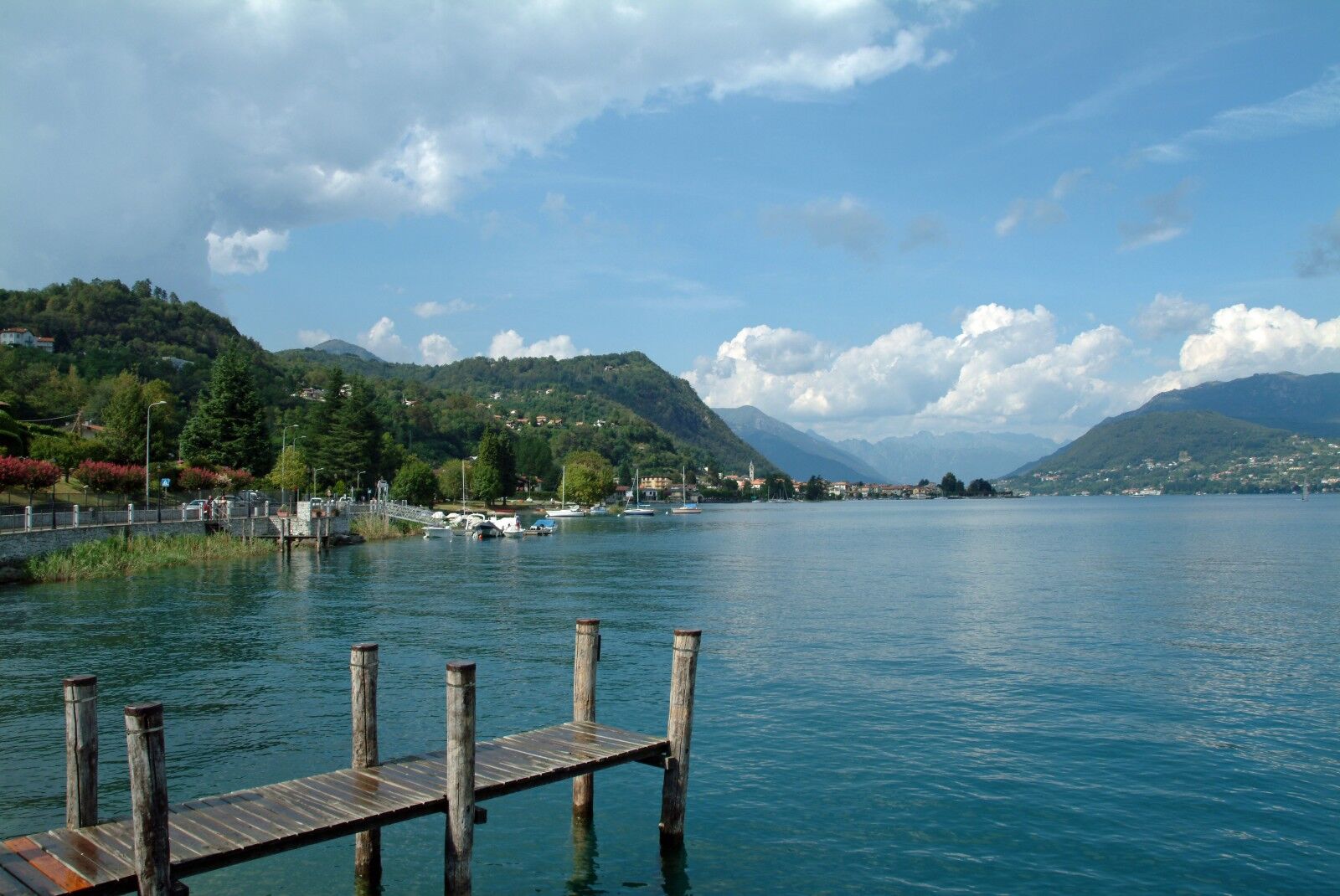
Beautiful mountain bike tour to discover the towns of Lake Orta which can be covered in the absence of snow, and, in every season, presents itself with a unique and evocative appearance. You cycle through the many municipalities that overlook the lake including Omegna, Armeno, Ameno, Gozzano and Pella to discover many naturalistic, artistic and religious testimonies that characterize these shores.

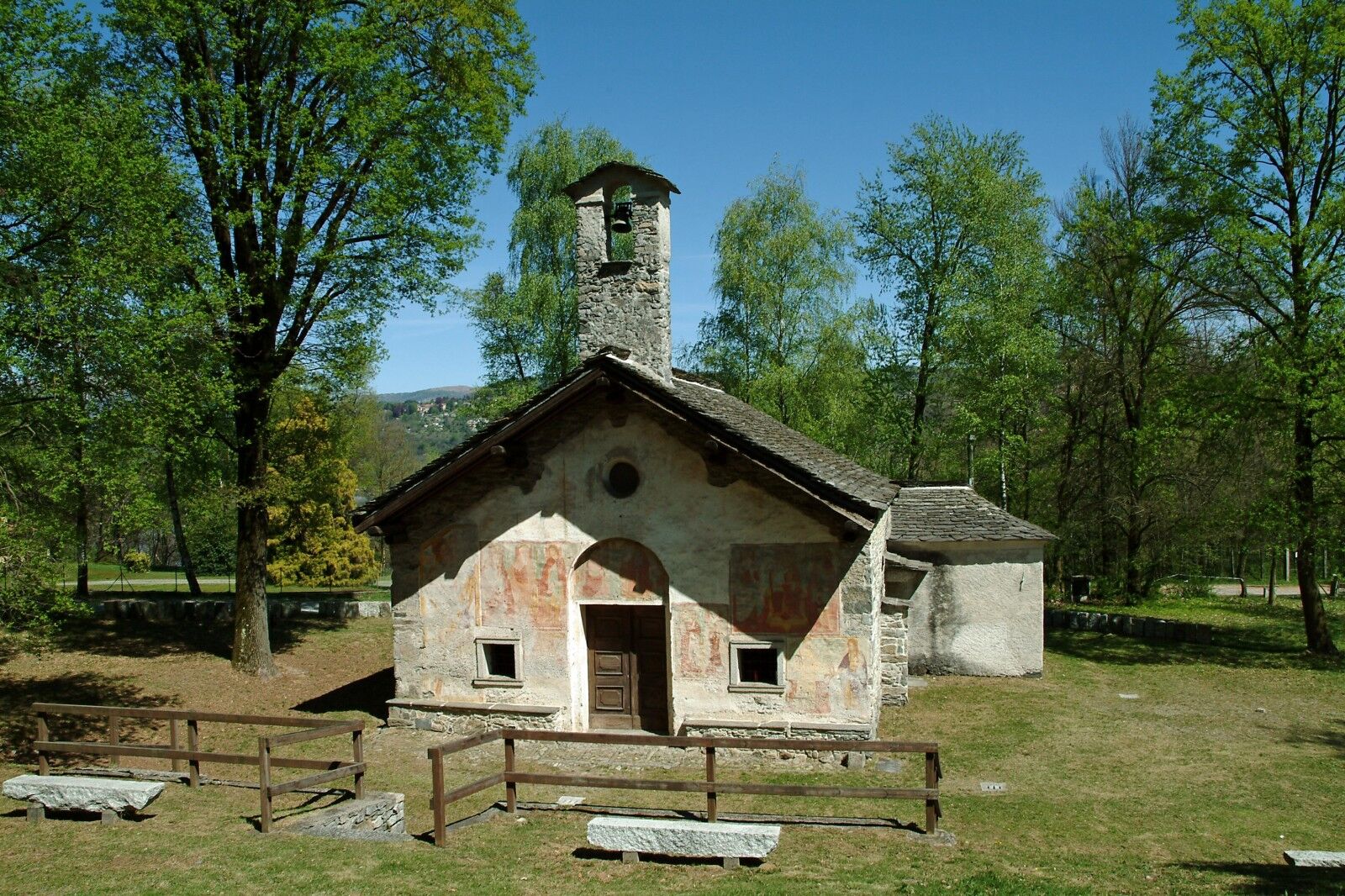

Departing from Omegna, where you can easily find a parking space near the Forum, head towards the village of Borca following first via Manzoni and then via Pacinotti. At the end of via Repubblica, turn left and follow the signs for Armeno-Mottarone to reach the village of Agrano and then the village of Pescone. Continue uphill through the village of Bassola to Armeno, where you turn right into via Don Magnone.At the next fork in the road continue straight along via Abeba to reach the main square of Armeno: descend along via Cadorna but after a short while turn left into via Cesare Battisti and then right into via Pariani. Reach the Strada delle due Riviere (SP39) near a supermarket: cross the road and turn right along a dirt road which will lead you to the village of Pisogno.At the point where the asphalted road begins again, turn right and then immediately left passing by a place with a swimming pool. After about one hundred metres, turn left near a bend on the right and take the path that leads to the horse riding stables.When you arrive near a chapel, turn left and cross the bridge over the Agogna stream to reach the village of Pezzasco. Proceed along the asphalt road, cross a second bridge and then turn right towards the bridge over the Agogna: turn left immediately and take a path that goes up through the woods and leads to the Monte Mesma Reserve, near the old forge.Ford the Membra stream and turn left following the itinerary marked as "percorso del torrente". Reach the base of the via Crucis that climbs up to Monte Mesma and turn left onto the asphalt road in the direction of Bolzano Novarese.Take via Santa Maria and reach the town hall of Bolzano: turn left and continue in the direction of Invorio and the cemetery of Bolzano Novarese. When you are close to the last houses of the village, turn right to continue on a dirt road in the wood: after passing an artificial lake turn right and continue until you reach Gozzano near the church of San Lorenzo. Now head towards Auzate riding along via Caduti della Libertà and passing two roundabouts. When you reach the village of Auzate, near the parish church, follow the dirt road that descends to the Grua stream. Cross the stream over the small bridge and climb up towards the village of Soriso, reaching the town hall and the parish church. Continue downhill on asphalt and take a dirt road that descends towards Pogno: at the fork, keep to the right and reach and cross the bridge over the Grua stream. This downhill stretch may not be completely cycleable. Once in Pogno near the sports field, continue in the direction of the church and then turn right in the direction of Berzonno following via Alzo. At the church, take via Torlaqua and reach the church of San Michele: here you turn left and follow the path to San Maurizio d'Opaglio. Follow via Pianelli as far as the crossroads with the provincial road 47: turn right and near the curve turn left going up the cobbled road that leads to the village of Briallo. Cross the village up to the chapel of Santa Barbara at the foot of the rock where the sanctuary of the Madonna del Sasso stands: turn left and skirt the fence of the San Maurizio aqueduct and then turn right following the "Sentiero degli Scalpellini". After a while, turn right and continue through the wood until you see a gate on the left: here you turn right and reach via alle Cave near Alzo in Pella. Now turn left and continue on the asphalt road until the stop sign: turn left again along the provincial road 46 and ride uphill past the village of Ventraggia to the bridge over the Pellino stream. Proceed uphill to Monte San Giulio: continue between the houses and take the mule track that climbs to Egro in the area known as Belvedere. Continue as far as the cemetery of Egro, where you will take a dirt road downhill that soon takes you to Grassona near the parish church.Continue along the asphalt road and, near the sign indicating "Grassona", turn right along a path that leads to the village of Colma and then down to Cesara. Cross the road and continue through the streets of Cesara, first along via Sant'Isidoro and then to the parish church. Shortly after the church, take the dirt track to the right through the woods, following the red and white trail signs to reach the centre of Nonio and then turn left towards the little lakes of Nonio.Once past the lakes, take a sharp right turn and descend into the woods to reach the asphalt road near the Ponte Bria area. Some stretches of this path may not be cyclable. Turn right and follow the asphalt road until you reach the bridge over the Fiumetta stream: turn left and follow via Varallo to reach the parish church of Cireggio. Continue along via Leonardo da Vinci as far as the roundabout near the church of S. Bernardo: keep right as far as the sports field. Descend as far as the ancient Roman gate on the left and turn right to reach the traffic lights.Turn left and continue straight ahead until you turn right along via Ferriere: turn right again at the roundabout and you will reach the Forum of Omegna.
Some stretches of the route may not be cyclable
Duration 3 - 6 hours
Stages: Omegna- Borca- Agrano- Pescone- Bassola- Armeno- Pisogno- Ameno- Pezzasco- Bolzano N.se- Gozzano- Auzate- Soriso- Pogno- Berzonno- Torlaqua- San Maurizio d'Opaglio- Briallo- Alzo di Pella- Monte San Giulio- Egro- Grassona- Colma- Cesara- Nonio- Cireggio- Omegna.
To see: the Forum of Omegna, the Church of S. Maria Assunta di Armeno, the Church of San Lorenzo in Gozzano.
Obľúbené výlety v okolí
-
Tour of Lake Orta
svetloMountainbike 35,4 km -
4,7
Coiromonte - Monte del Falò
strednáTuristika 6,16 km -
On the Hills from Cavallirio and Boca
svetloTuristika 9,73 km -
From Grignasco to the Crag of Ara
svetloTuristika 6,94 km -
In the hills of Borgomanero
strednáMountainbike 41,3 km -
Grand Tour UNESCO Stage 2 | From Biella to Casale Monferrato
ťažkéDiaľková cyklotrasa 178,2 km -
BicinVigna with Antonelli - Pink Itinerary
strednáMountainbike 40,9 km -
From Invorio to Armeno through the villages of Vergante
strednáMountainbike 41,0 km -
BicinVigna with Antonelli
strednáMountainbike 25,2 km -
4,0
From village to village with views of Lake Orta
strednáMountainbike 31,8 km
Turistika a stopovanie


Nenechajte si ujsť ponuky a inšpiráciu na ďalšiu dovolenku
Vaša e-mailová adresa bol pridaný do poštového zoznamu.





