Navigácia na stránke
Získajte túto prehliadku v mobilnom telefóne
Mapa
Grand Tour UNESCO Stage 2 | From Biella to Casale Monferrato
ťažké
Diaľková cyklotrasa
178,15 km
Naskenujte kód QR a spustite navigáciu v aplikácii bergfex
QR Code
Turistika a stopovanie

Grand Tour UNESCO Stage 2 | From Biella to Casale Monferrato

ťažké
Diaľková cyklotrasa
Vzdialenosť
178,15 km
Trvanie
12:40 h
Ascent
1 646 hm
Hladina mora
113 - 1 425 m

Úroveň náročnosti: 4

Stiahnutie skladby
Mapa
Grand Tour UNESCO Stage 2 | From Biella to Casale Monferrato
ťažké
Diaľková cyklotrasa
178,15 km

We start from the Biella station and follow the Cervo river to Campiglia, where it joins the road that comes from Oropa, passing through the Sanctuary of San Giovanni d’Andorno. From here you can quickly...

Opis

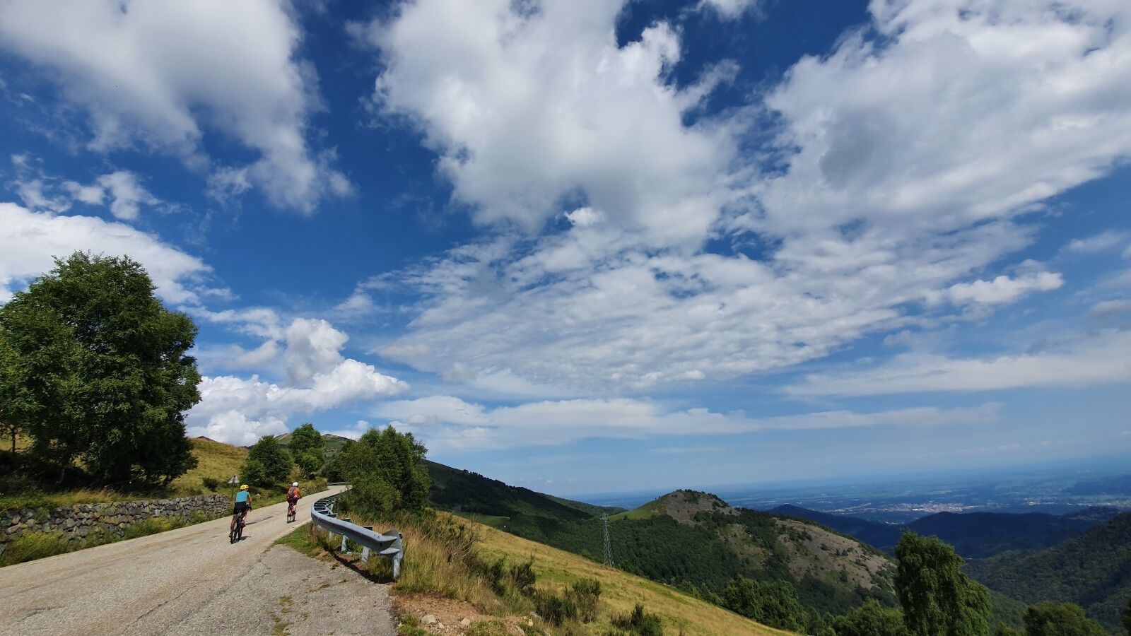
We start from the Biella station and follow the Cervo river to Campiglia, where it joins the road that comes from Oropa, passing through the Sanctuary of San Giovanni d’Andorno. From here you can quickly reach Rosazza, or continue along the itinerary that follows the Panoramica Zegna to Bocchetto Sessera and reach Valsesia. Crossing its villages, you arrive at the town of Varallo. From here there is a connection with Verbania, also possible via Borgosesia that allows you to cross Lake Orta and the UNESCO site of Sacro Monte. We continue to Vercelli following the banks of the Sesia river and continue to Morano Po crossing the landscape of rice fields. Once you reach the Po, you follow it on the banks to Casale Monferrato.

Trasa
Chiesa dei Santi Fabiano e Sebastiano e della Santissima Trinità
(424 m)
Miesto uctievania
1,6 km
Oratorio di Sant'Apollonia
(749 m)
Miesto uctievania
16,0 km
Poggio Selletto Grosso
(1 222 m)
Summit
36,0 km
Chiesa parrocchiale di Santa Margherita
(562 m)
Miesto uctievania
65,0 km
Collegiata di San Gaudenzio
(458 m)
Miesto uctievania
75,8 km
Chiesa Parrocchiale di Santa Maria Assunta
(329 m)
Miesto uctievania
98,4 km
Chiesa della Natività di Maria Vergine
(128 m)
Miesto uctievania
164,1 km
Trasa
Mapa
Grand Tour UNESCO Stage 2 | From Biella to Casale Monferrato
ťažké
Diaľková cyklotrasa
178,15 km
Biella San Paolo
(397 m)
Železničná stanica
0,0 km
Chiesa dei Santi Fabiano e Sebastiano e della Santissima Trinità
(424 m)
Miesto uctievania
1,6 km
Biella
(425 m)
Mesto
1,7 km
Chiavazza
(393 m)
Dedina
2,5 km
Villaggio Filatura
(448 m)
Susedstvo
4,8 km
Cappella della Madonna d'Oropa
(451 m)
Miesto uctievania
4,9 km
Tollegno
(491 m)
Dedina
5,8 km
Lorazzo Inferiore
(488 m)
Zúčtovanie
6,8 km
Bur
(494 m)
Zúčtovanie
7,1 km
Andorno Micca
(542 m)
Dedina
7,6 km
Miagliano
(536 m)
Dedina
8,1 km
Chiesa parrocchiale dei Santi Giacomo e Stefano
(582 m)
Miesto uctievania
9,8 km
Oratorio dei Santi Fabiano e Sebastiano
(589 m)
Miesto uctievania
10,2 km
Sagliano Micca
(582 m)
Dedina
10,6 km
Falvina
(613 m)
Zúčtovanie
10,8 km
Casale
(619 m)
Zúčtovanie
11,1 km
Ristorante Biancaneve
(619 m)
Reštaurácia
11,3 km
Passobreve
(636 m)
Zúčtovanie
11,9 km
Bogna
(638 m)
Zúčtovanie
12,4 km
Molino Lace
(634 m)
Zúčtovanie
12,8 km
Fucina
(664 m)
Zúčtovanie
13,5 km
Fucina Zoè
(670 m)
Zúčtovanie
13,8 km
Balma
(688 m)
Zúčtovanie
14,0 km
Oratorio della Madonna della Salute
(701 m)
Miesto uctievania
14,1 km
Mulino Pianelli
(706 m)
Zúčtovanie
14,5 km
Riofreddo
(710 m)
Zúčtovanie
14,5 km
Romani
(773 m)
Zúčtovanie
14,6 km
Maciotta
(764 m)
Zúčtovanie
14,8 km
Malpensà
(728 m)
Zúčtovanie
15,1 km
Albergo Ristorante Asmara
(740 m)
Reštaurácia
15,4 km
Asmara
(744 m)
Zúčtovanie
15,4 km
San Paolo Cervo
(733 m)
Zúčtovanie
15,9 km
Oratorio di Sant'Apollonia
(749 m)
Miesto uctievania
16,0 km
Magnani
(780 m)
Zúčtovanie
16,0 km
Bariola
(823 m)
Zúčtovanie
16,3 km
Mortigliengo
(878 m)
Zúčtovanie
16,9 km
Oretto Superiore
(853 m)
Zúčtovanie
17,2 km
Oretto
(810 m)
Zúčtovanie
17,3 km
Quartiere Gaia
(787 m)
Susedstvo
18,1 km
Campiglia Cervo
(776 m)
Dedina
18,1 km
Quartiere Bottini
(787 m)
Susedstvo
18,3 km
Oratorio di San Rocco e dell'Addolorata
(803 m)
Miesto uctievania
18,4 km
Oratorio della Beata Vergine e di San Biagio
(869 m)
Miesto uctievania
19,2 km
Valmosca
(871 m)
Zúčtovanie
19,3 km
Beccara
(890 m)
Zúčtovanie
19,6 km
Rosazza
(882 m)
Dedina
19,9 km
Forgnengo
(925 m)
Zúčtovanie
20,1 km
Oratorio dei Santi Fabiano e Sebastiano
(923 m)
Miesto uctievania
20,3 km
Piaro
(987 m)
Zúčtovanie
21,8 km
Cascina Orio Secco
(1 198 m)
Koridor/terén
25,7 km
Cascina Lunga
(1 310 m)
Koridor/terén
28,8 km
Bocchetto Sessera
(1 374 m)
Koridor/terén
30,7 km
Locanda Bocchetto Sessera
(1 377 m)
Reštaurácia
30,7 km
Poggio Selletto Piccolo
(1 160 m)
Horské sedlo
35,5 km
Poggio Selletto Grosso
(1 222 m)
Summit
36,0 km
Alpe Colletto
(1 142 m)
Koridor/terén
51,9 km
Alpe Colletto
(1 078 m)
Koridor/terén
52,7 km
Baita Neva
(752 m)
Zúčtovanie
55,0 km
Oratorio di San Bernardo
(730 m)
Miesto uctievania
56,3 km
Ordarino
(718 m)
Zúčtovanie
56,5 km
Bertina
(731 m)
Zúčtovanie
56,6 km
Chioso
(683 m)
Zúčtovanie
56,7 km
Casa Pareti
(653 m)
Zúčtovanie
57,6 km
Scopello
(659 m)
Dedina
57,6 km
Piane di Sotto
(633 m)
Zúčtovanie
59,2 km
Otra
(636 m)
Zúčtovanie
60,5 km
Scopa
(622 m)
Dedina
60,7 km
Chiesa parrocchiale di San Bartolomeo
(613 m)
Miesto uctievania
60,9 km
Villa
(617 m)
Zúčtovanie
60,9 km
San Francesco
(617 m)
Miesto uctievania
61,1 km
Oratorio dei Santi Rocco, Fabiano e Sebastiano
(612 m)
Miesto uctievania
61,3 km
Muro
(618 m)
Zúčtovanie
61,7 km
Scopetta
(608 m)
Zúčtovanie
62,7 km
Oratorio di San Bernardo
(611 m)
Miesto uctievania
62,8 km
Balmuccia
(560 m)
Dedina
64,9 km
Chiesa parrocchiale di Santa Margherita
(562 m)
Miesto uctievania
65,0 km
Sacra Famiglia
(557 m)
Miesto uctievania
65,1 km
Trattoria Val Poitta
(559 m)
Reštaurácia
65,1 km
Oratorio dei Santi Antonio Abate e Antonio di Padova
(561 m)
Miesto uctievania
65,5 km
Guaifola
(563 m)
Zúčtovanie
65,6 km
Oratorio di San Defendente
(541 m)
Miesto uctievania
66,8 km
Bottorno
(536 m)
Zúčtovanie
66,9 km
Isola
(524 m)
Zúčtovanie
67,8 km
Bettola
(508 m)
Zúčtovanie
68,7 km
Chiesa di San Giovanni Battista
(507 m)
Miesto uctievania
69,1 km
Chiesa
(506 m)
Zúčtovanie
69,2 km
Cappela ossario
(507 m)
Miesto uctievania
69,3 km
Chiesa parrocchiale pievana di San Maurizio Martire
(505 m)
Miesto uctievania
69,3 km
Madonna Addolorata
(503 m)
Miesto uctievania
69,7 km
Vocca
(506 m)
Dedina
69,9 km
Prati di Vocca
(486 m)
Koridor/terén
70,9 km
Balangera
(481 m)
Zúčtovanie
71,2 km
Ristorante Pizzeria Italia
(477 m)
Reštaurácia
71,2 km
Gambero Rosso
(470 m)
Reštaurácia
72,6 km
Valmaggia
(472 m)
Zúčtovanie
72,7 km
Bar Trattoria Antica Quercia
(471 m)
Reštaurácia
72,7 km
Scopelle
(458 m)
Zúčtovanie
74,0 km
Chiesa di San Giovanni Battista
(459 m)
Miesto uctievania
74,6 km
Chiesa di San Giacomo
(449 m)
Miesto uctievania
75,1 km
Collegiata di San Gaudenzio
(458 m)
Miesto uctievania
75,8 km
Varallo
(450 m)
Mesto
76,2 km
Chiesa di San Marco
(450 m)
Miesto uctievania
76,2 km
Cappella della Madonna di Loreto
(466 m)
Miesto uctievania
77,5 km
Pian Presello
(493 m)
Koridor/terén
78,0 km
Piede delle Folle
(453 m)
Koridor/terén
79,2 km
Chiesa di San Martino
(441 m)
Miesto uctievania
79,5 km
Roccapietra
(440 m)
Dedina
79,7 km
Ristorante il Camoscio
(431 m)
Reštaurácia
79,7 km
Chiesa parrocchiale Sant'Antonio Abate
(402 m)
Miesto uctievania
84,4 km
Quarona
(401 m)
Dedina
84,8 km
Isolella
(371 m)
Zúčtovanie
87,3 km
Oratorio della Madonna delle Grazie
(393 m)
Miesto uctievania
87,7 km
Piancastello
(424 m)
Zúčtovanie
88,5 km
Chiesa di San Michele Arcangelo
(397 m)
Miesto uctievania
88,8 km
Agnona
(389 m)
Zúčtovanie
89,2 km
Oratorio di San Bernardo da Mentone
(357 m)
Miesto uctievania
90,0 km
Chiesa del Santissimo Sacramento e Santa Marta
(347 m)
Miesto uctievania
91,3 km
Chiesa di Sant' Antonio
(351 m)
Miesto uctievania
91,5 km
Borgosesia
(354 m)
Mesto
91,6 km
Montrigone
(369 m)
Zúčtovanie
92,7 km
Chiesa di Sant' Antonio Abate
(335 m)
Miesto uctievania
93,5 km
Bettole
(336 m)
Zúčtovanie
93,6 km
Regione Fornacione
(336 m)
Zúčtovanie
94,7 km
Fenera Annunziata
(381 m)
Zúčtovanie
94,9 km
Regione Pissone
(337 m)
Koridor/terén
95,6 km
Ara
(434 m)
Dedina
96,4 km
BrandOsteria
(321 m)
Reštaurácia
98,3 km
Chiesa Parrocchiale di Santa Maria Assunta
(329 m)
Miesto uctievania
98,4 km
Grignasco
(322 m)
Dedina
98,7 km
Oratory of St. Sebastian
(277 m)
Miesto uctievania
105,2 km
Chiesa parrocchiale San Bernardo da Mentone
(277 m)
Miesto uctievania
105,3 km
Prato Sesia
(277 m)
Dedina
105,3 km
Trattoria castello
(277 m)
Reštaurácia
105,5 km
Chiesa di San Carlo e Beata Vergine di Lourdes
(276 m)
Miesto uctievania
105,6 km
Prato Nuovo
(278 m)
Zúčtovanie
105,8 km
Chiesa della Madonna del Popolo
(272 m)
Miesto uctievania
107,3 km
Chiesa Parrocchiale della Santissima Annunziata e San Silvano
(271 m)
Miesto uctievania
107,4 km
Cantina dei Santi
(270 m)
Miesto uctievania
107,4 km
Romagnano Sesia
(268 m)
Dedina
107,8 km
Fontana della Cavalla
(210 m)
Zdroj
117,0 km
Fontana Perego
(200 m)
Zdroj
119,1 km
Cascine Bianche
(129 m)
Koridor/terén
141,0 km
Porta Milano
(126 m)
Susedstvo
146,3 km
Chiesa Evangelica Metodista
(129 m)
Miesto uctievania
146,7 km
Chiesa di San Giuliano
(129 m)
Miesto uctievania
146,9 km
Vercelli
(130 m)
Mesto
147,0 km
Chiesa Cristiana Evangelica Pentecostale
(130 m)
Miesto uctievania
147,1 km
Monrosa
(132 m)
Susedstvo
147,3 km
Monferrato
(130 m)
Susedstvo
147,5 km
Chiesa dei Santi Tommaso e Teonesto in San Paolo
(130 m)
Miesto uctievania
147,5 km
Chiesa di San Lorenzo
(130 m)
Miesto uctievania
147,6 km
Cappella Monastero Santa Margherita
(129 m)
Miesto uctievania
147,7 km
Porta Casale
(129 m)
Susedstvo
148,1 km
Chiesa di San Vittore
(124 m)
Miesto uctievania
154,8 km
Il Castello
(124 m)
Reštaurácia
155,2 km
Asigliano Vercellese
(124 m)
Dedina
155,3 km
Oratorio di San Giovanni Battista
(125 m)
Miesto uctievania
155,8 km
Ristorante Dal Piemunteis
(126 m)
Reštaurácia
156,1 km
Cappella di San Rocco
(127 m)
Miesto uctievania
156,2 km
Costanzana
(128 m)
Dedina
159,5 km
Saletta
(133 m)
Zúčtovanie
161,5 km
Torrione
(129 m)
Zúčtovanie
164,0 km
Chiesa della Natività di Maria Vergine
(128 m)
Miesto uctievania
164,1 km
Chiesa della Madonna del Ceppo
(122 m)
Miesto uctievania
167,2 km
Church of Saint Peter Martyr
(122 m)
Miesto uctievania
168,7 km
Morano sul Po
(123 m)
Dedina
168,7 km
Oltreponte
(110 m)
Susedstvo
174,7 km
Casale Monferrato
(116 m)
Mesto
176,7 km
Chiesa Parrocchiale di Sant'Ilario
(115 m)
Miesto uctievania
177,4 km
Chiesa di Santa Maria delle Grazie
(115 m)
Miesto uctievania
177,7 km
Oratorio del Gesù
(115 m)
Miesto uctievania
177,8 km
Informácie o prehliadke

Along the Panoramica Zegna, between the Cervo and Sesia Valleys, passing through the Sacro Monte di Varallo, up to Vercelli and Casale Monferrato on the Po.

Technológia
4 / 6
Stav
6 / 6
Krajina
6 / 6
Skúsenosti
5 / 6
Najlepšie ročné obdobie
Jan
Feb
Mar
Apr
Máj
Jún
Júl
Aug
Sep
Okt
Nov
Dec
Zdieľať prehliadku
Mapa
Grand Tour UNESCO Stage 2 | From Biella to Casale Monferrato
ťažké
Diaľková cyklotrasa
178,15 km
Chyba
Vyskytla sa chyba. Prosím, skúste to znova.
Informácie o trase
Trasa
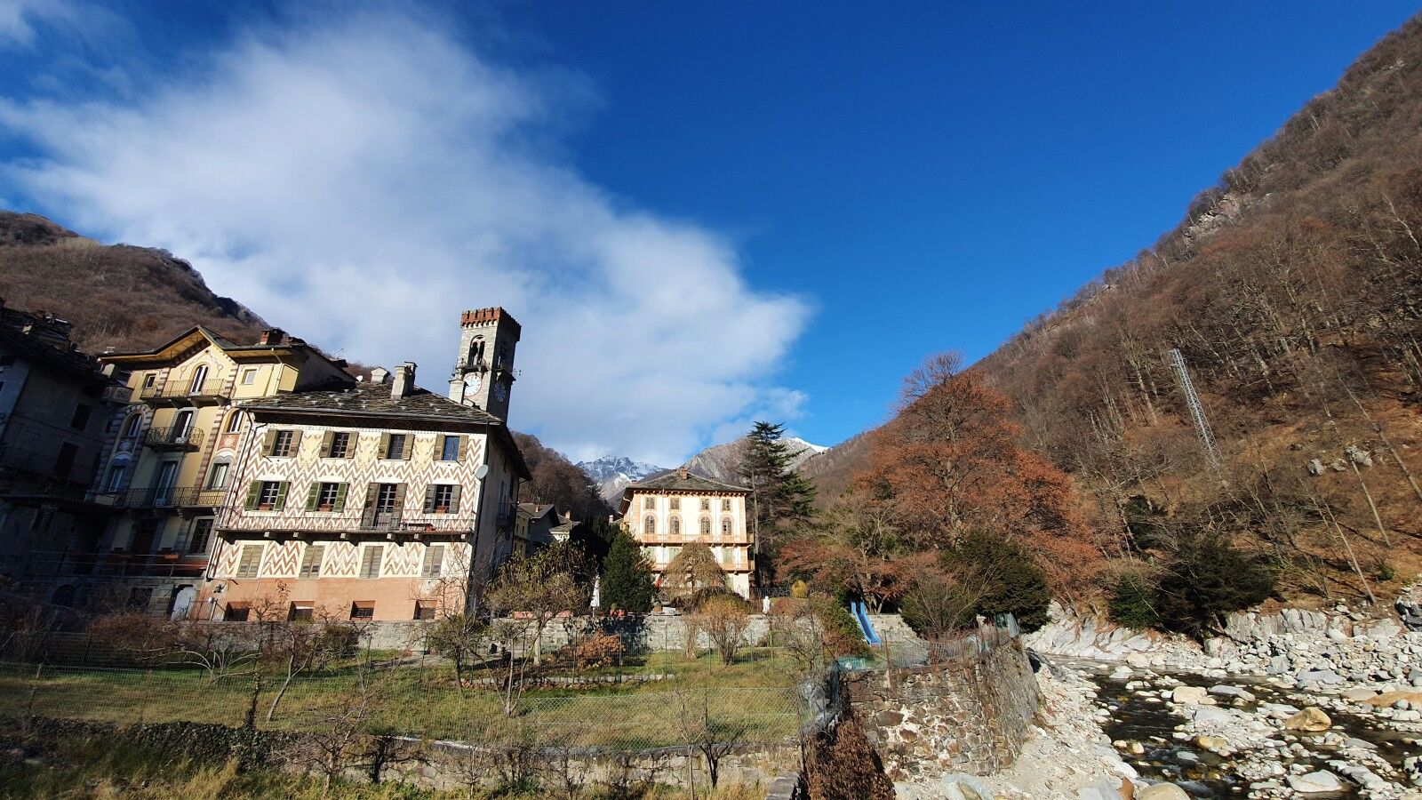
The itinerary starts at the Biella railway station (connected to Novara-Milan and Santhià-Turin) and climbs to Rosazza, following the valley of the Cervo stream, passing through Miagliano, Sagliano Micca, Balma, Oretto, and Campiglia Cervo. From here, via the Rosazza Tunnel and passing the Sanctuary of San Giovanni d’Andorno, you can reach Oropa (13 km, 600 m of steep ascent, and 300 m descent).

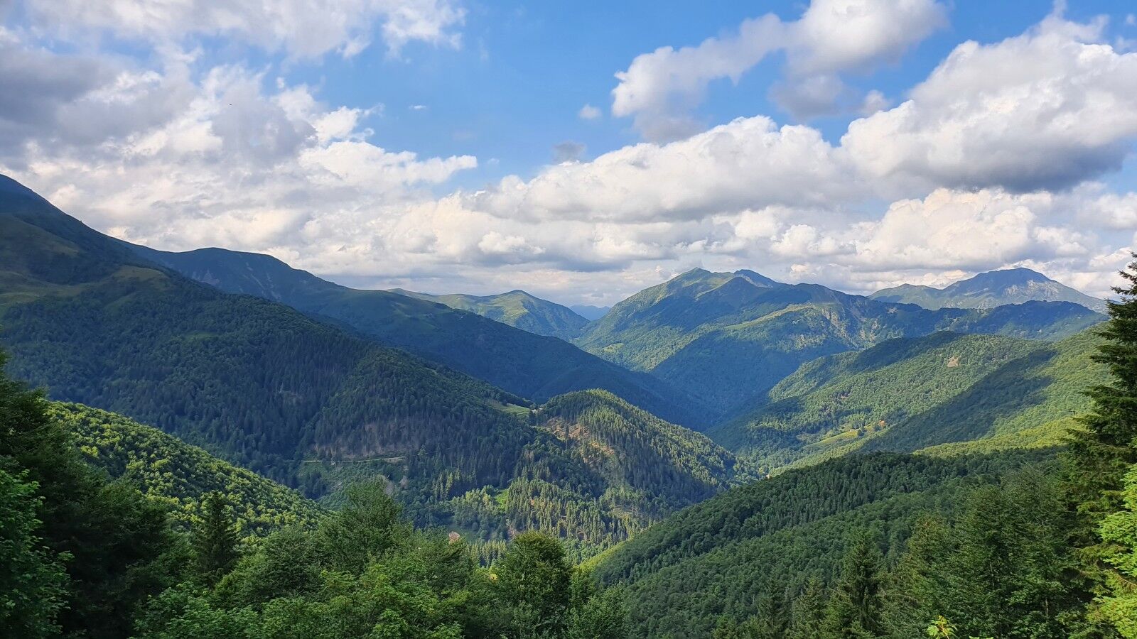
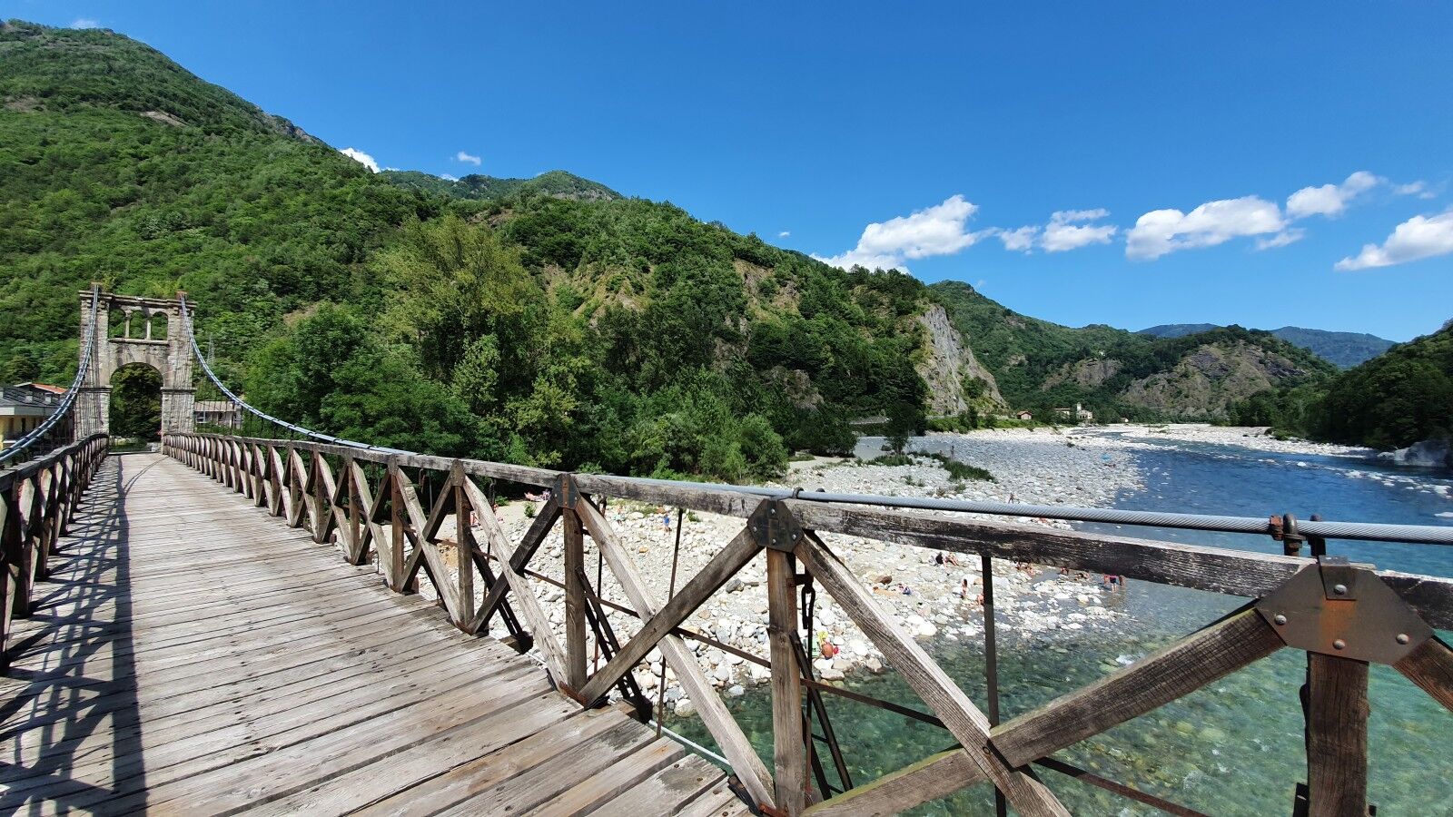
The itinerary then continues along the Panoramica Zegna, through the village of Piaro and above the village of Sassaia to Bocchetto Sessera. Here, a dirt road descends into the wild valley of the Sessera and Dolca streams before climbing again to Bocchetta della Boscarola, which overlooks Valsesia. After about 2.5 km of dirt road, you reach the paved road (with the option to detour to Alpe di Mera, adding 3 km and 200 m of ascent) and continue down a steep route with many hairpin turns, passing the San Bernardo oratory to Scopello along the Sesia River. Along the valley, the route goes through Scopa, Balmuccia (a technical and unpaved route on the right bank or the state road on the left bank), the Balangera suspension bridge, and finally to Varallo, near the magnificent frescoed chapel of the Madonna di Loreto. From here, one connection leads to Verbania via Passo della Colma and Lake Orta at Omegna (46 km, 900 m of ascent, and 650 m descent). The main route continues to Borgosesia, crossing Ponte di Agnona and Santa Maria Montrigone, and from there, a second connection along 55 km reaches Verbania (preferable to the Colma Pass route as it passes by Lake Orta and the UNESCO site of the Sacred Mountain).

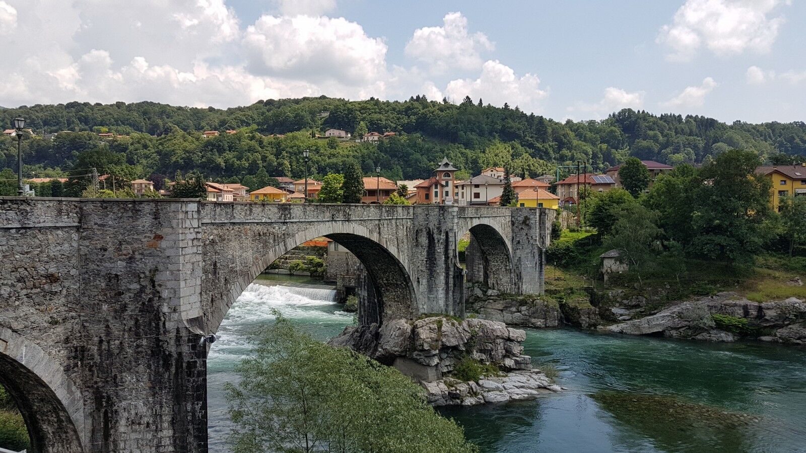
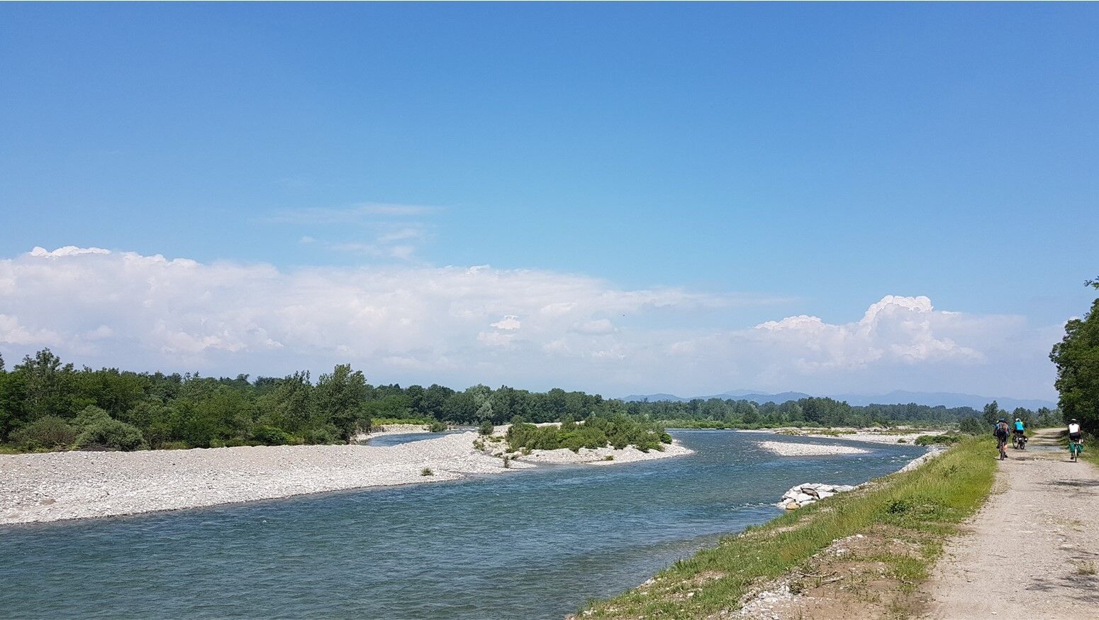
The route proceeds to Grignasco (Ticino Val Grande Verbano MAB Reserve) and Romagnano Sesia, following the Sesia River along unpaved banks and passing under the A4 highway and the high-speed railway at the Cavour Canal. It reaches the Abbey complex of San Nazzaro Sesia. From here, a connection to Novara and Malpensa Airport is available via Casalbeltrame and the unpaved banks of the Cavour Canal (25 km). The route then continues along the unpaved left bank of the Sesia River through the Lame del Sesia Park to Vercelli (railway connections to Milan, Turin, and Pavia), meeting the Via Francigena trail. The route exits the city heading south towards Asigliano and crosses the rice paddies to Morano Po. Continuing along the embankment on the left bank of the Po, with views of the plains, the river, and the hills, the route reaches Casale Monferrato. From here, you can reach Alessandria by passing along the Po and through the historic center of Valenza (45 km, 320 m ascent, 300 m descent).

Zariadenie

It is advisable to wear sports clothing and, even in the summer, a windbreaker and a possible change of clothes.

Bezpečnostné pokyny
Some parts of the route along the Cervo valley and the banks of the Sesia between Romagnano and Vercelli can be muddy during rainy periods.

The road to the Galleria di Rosazza from Campiglia and the entire route between Bocchetto Sessera and Scopello in the Sesia valley are not passable in the winter period in the presence of snow.

Informácie o príchode
Verejná doprava

Railway stations: Biella, Carpignano Sesia, Vercelli, Morano Po and Casale Monferrato.

Ďalšie informácie a tipy
Úroveň náročnosti

4

Ďalšie informácie
In MTB and gravel for experts, in e-bike for everyone (note the marked difference in altitude in the Oasi Zegna-Oropa section).

Between Scopello and Balmuccia, it is possible to stay on a dirt path on the orographic right of the river, which however requires good technical skills and some sections where it is necessary to carry the bike by hand.

Tipy

It is advisable to bring your camera to capture the variety of colors, landscapes and atmospheres. The ideal days are at the end of April, when the rice fields between Vercelli and the Po are flooded, and the autumn days, with the woods of the Biella area, between the Oasi Zegna and Valsessere, wrapped in the colors of the foliage. Continuing on to Novara, don’t miss the climb to the dome of San Gaudenzio.

Zatiaľ žiadne recenzie
Napíšte recenziu

Recenzie pomáhajú ostatným používateľom vybrať si ďalšie dobrodružstvo. Prosím, hodnoťte len prehliadku, nie počasie alebo občerstvenie.

Vyberte jednu z hviezdičiek a ohodnoťte prehliadku
Zlé turné
Slabé turné
Priemerné turné
Dobrá prehliadka
Vynikajúca prehliadka

Webové kamery z prehliadky

bergfex logo Získajte prehľad Vždy naživo na mieste s viac ako 9 500 webovými kamerami. bergfex Ako používateľ Pro si teraz môžete pozrieť príslušné webové kamery pre mnohé zájazdy v aplikácii zájazdy z. Môžete si tak priamo prezerať aktuálne podmienky.
Turistika a stopovanie

Turistika a stopovanie

Turistika a stopovanie
Viac ako 550.000 návrhov výletov, podrobné mapy a intuitívny plánovač trás robia z aplikácie povinnú výbavu pre všetkých nadšencov prírody.
bergfex