







PRAGELATO Colle dell'Assietta
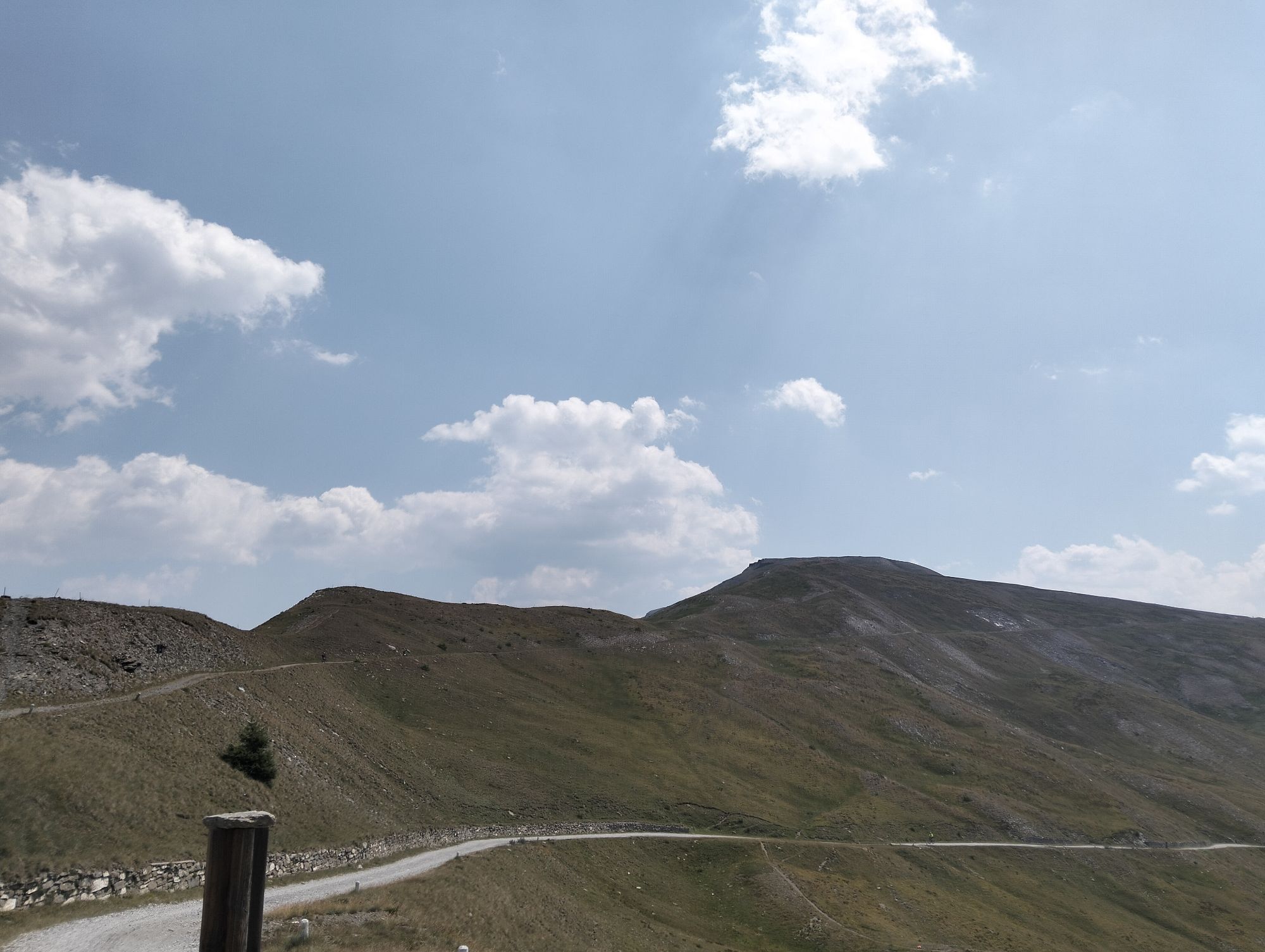
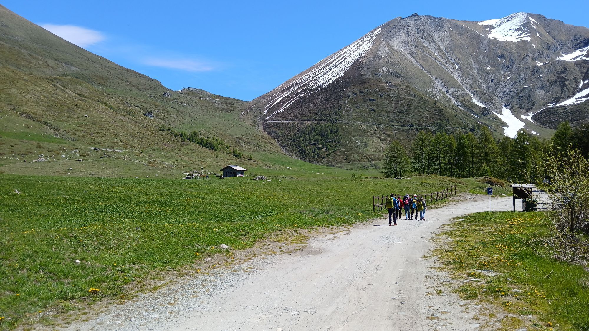
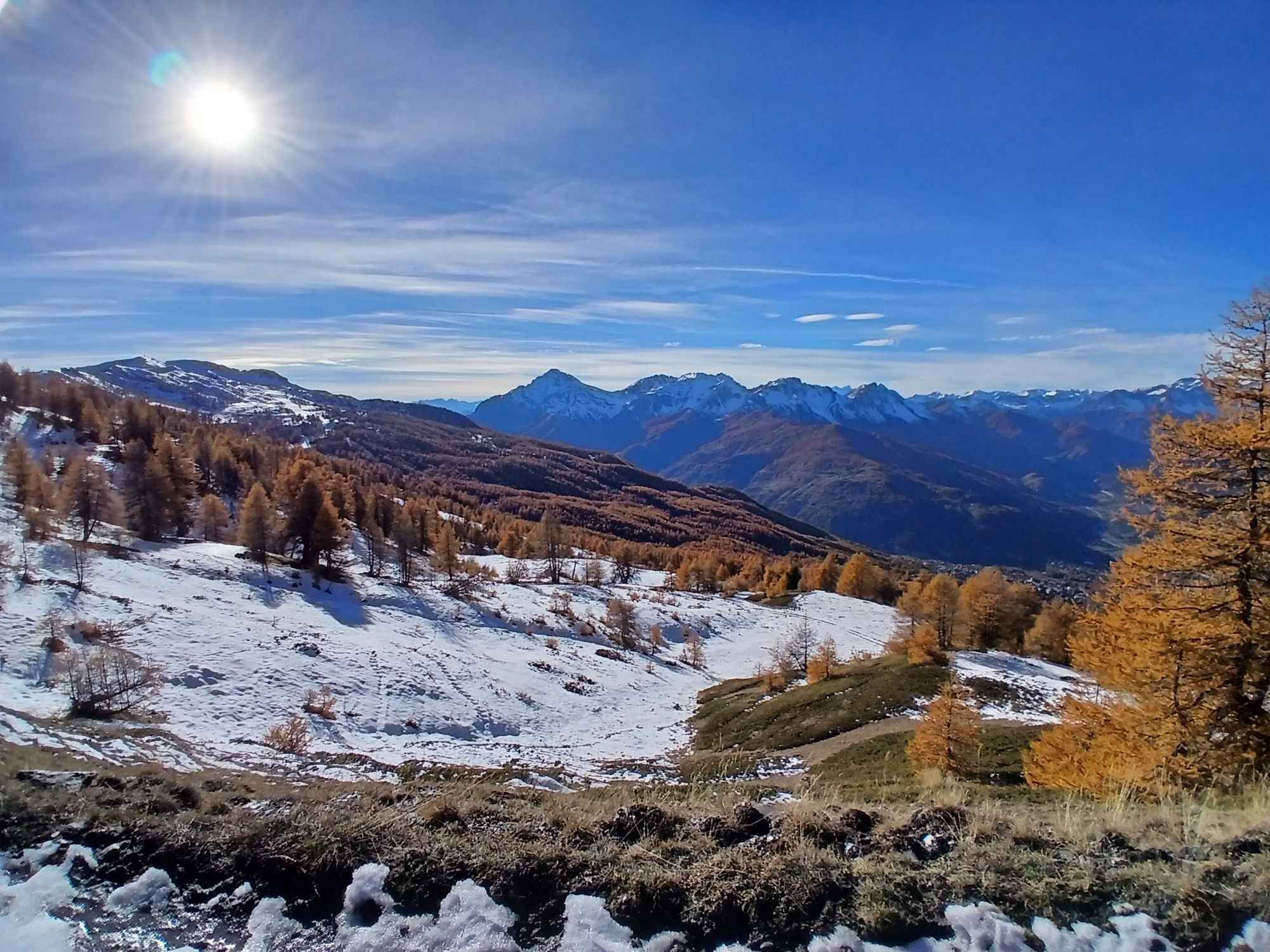
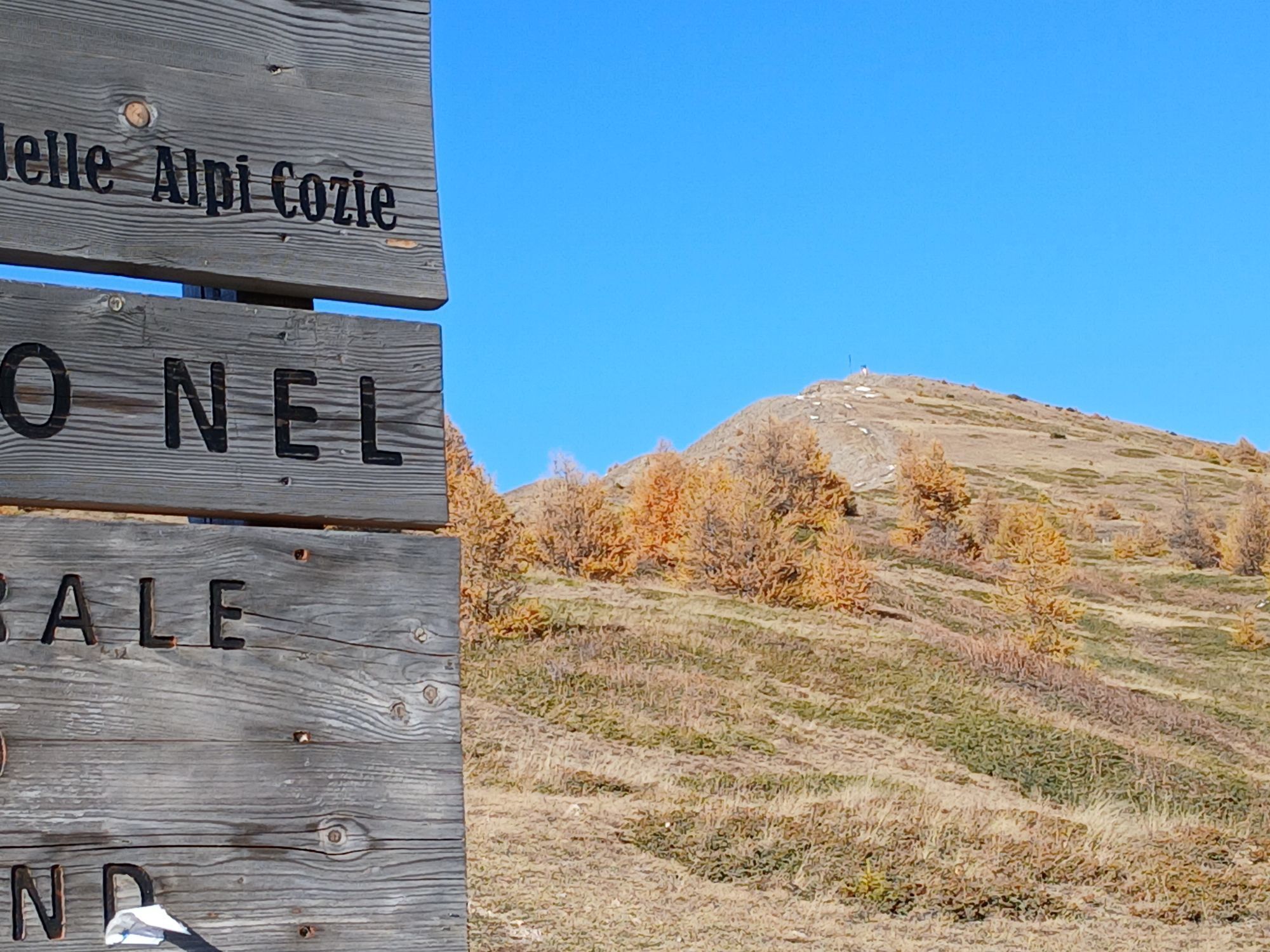
From the hamlet of Granges in Pragelato, ski jump area, follow the dirt road towards Pattemouche-Plan where, near the cable car, the steep trail section begins up to the campsite of Borgata Sestriere to...
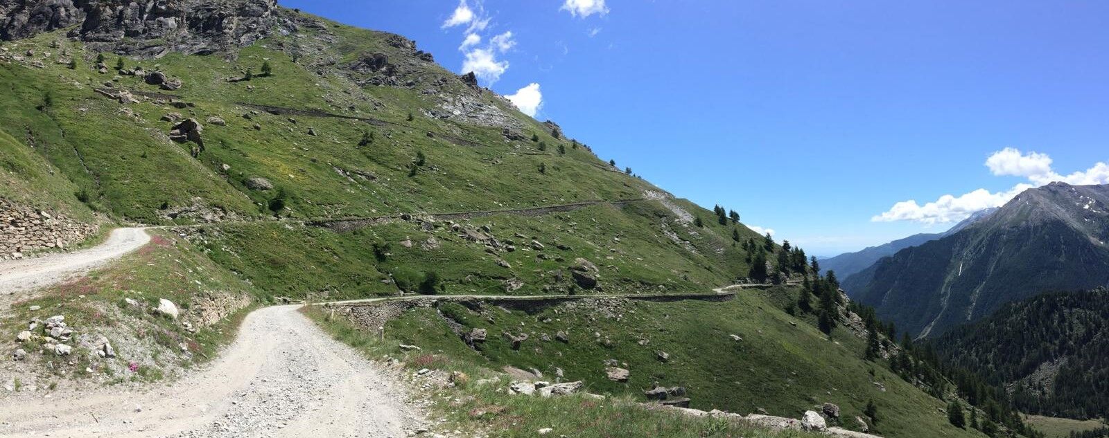
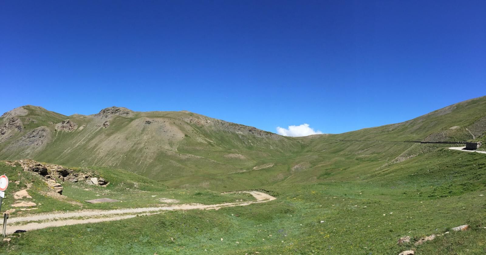
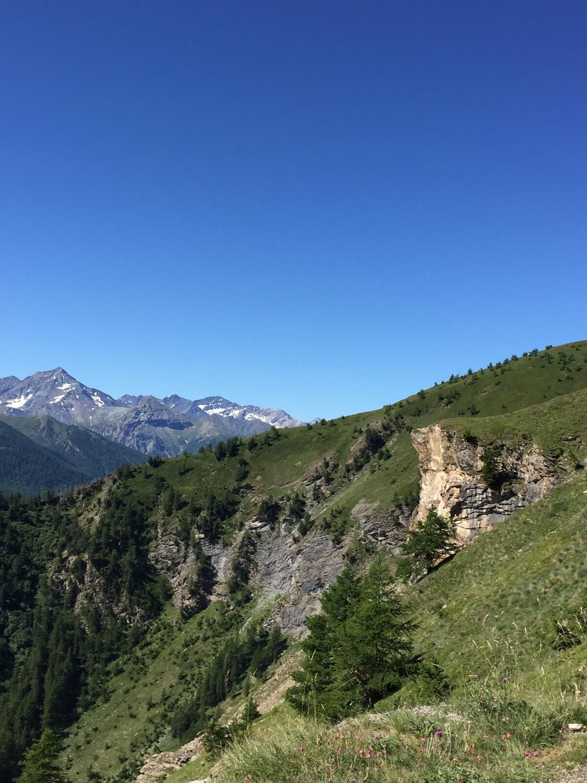
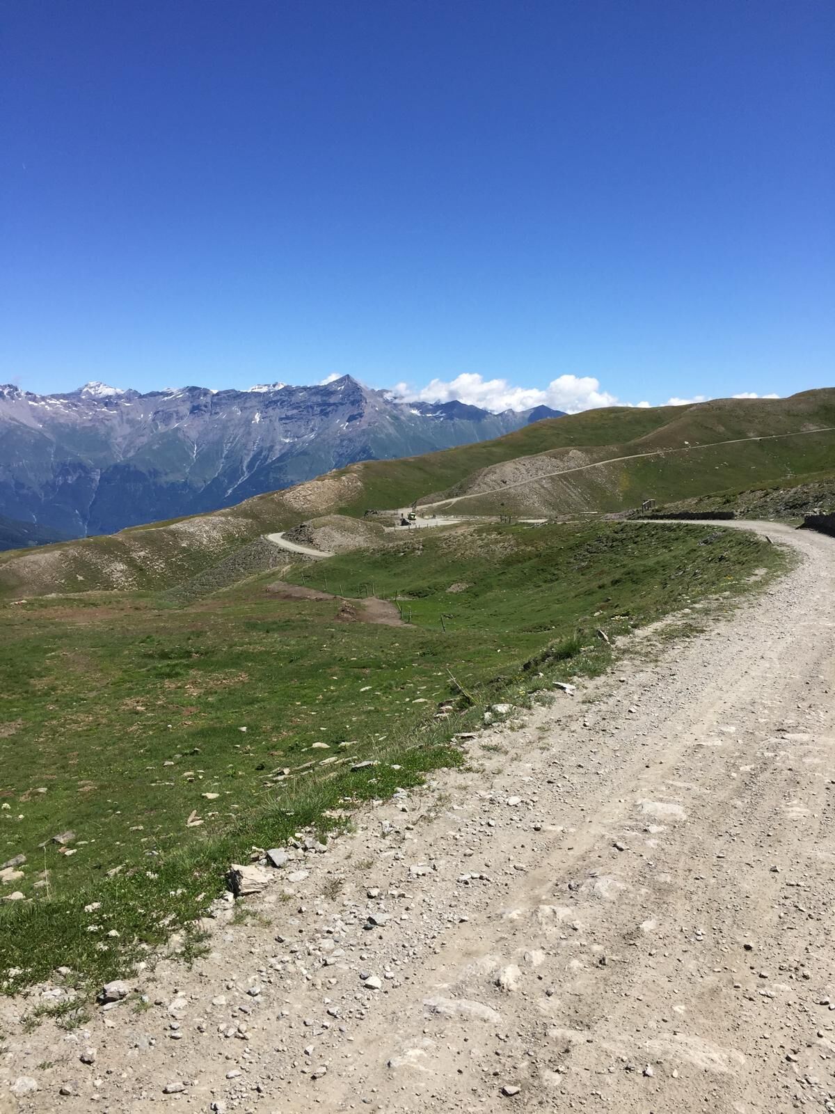
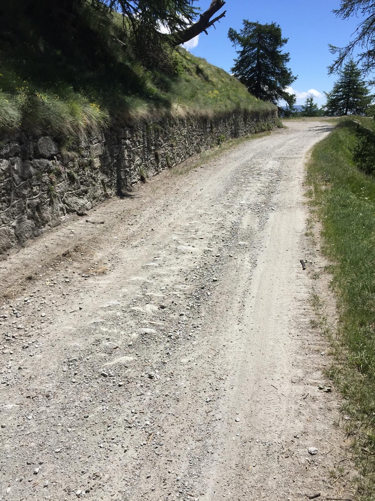
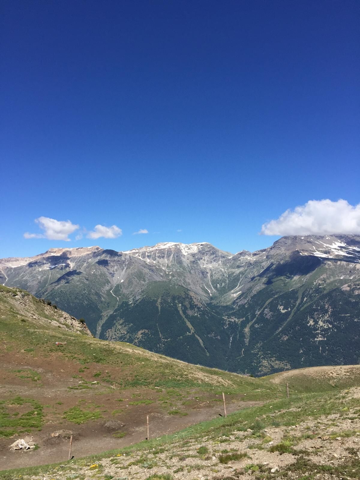
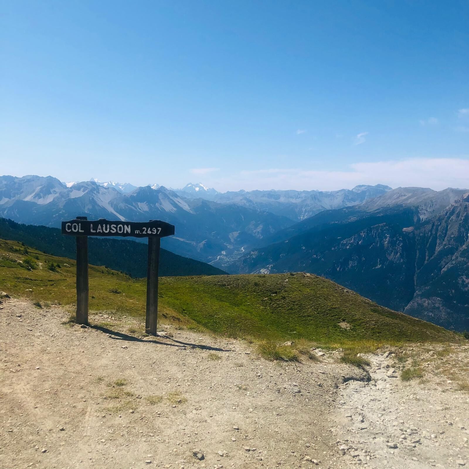
From the hamlet of Granges in Pragelato, ski jump area, follow the dirt road towards Pattemouche-Plan where, near the cable car, the steep trail section begins up to the campsite of Borgata Sestriere to continue up to Colle di Sestriere, taking the road of Col Basset and then the Strada dell'Assietta. The dirt road closed to traffic on Wednesdays and Saturdays is a panoramic balcony overlooking the Chisone and Susa valleys, up to the Assietta ridgehead, where at the Casa Assietta Jack Canali refuge, the only refreshment point, the descent towards Pian dell'Alpe begins. The route runs along a military road offering breathtaking views, historical points of interest, and forts.
Upon reaching the village of Pourrières, cross SR23 to find the dirt road that leads back to Pragelato.
Support and technical description by Matteo Blanc - cycle touring guide and Beatrice Griot - nature guide


Áno
Route suitable for MTB and E-bike
Highway A55 (Turin - Pinerolo), Pinerolo exit, continue on Provincial Road 23 of the Colle di Sestriere (SP 23R) up to Pragelato
Or
Highway A32 (Turin-Bardonecchia) with Oulx Ovest exit, continue on Provincial Road 23 of the Colle di Sestriere, pass the town of Sestriere for about 10 km towards Pinerolo. (SP 23R)
Line Bus Arriva 275, La Ruà stop
Získajte prehľad
Vždy naživo na mieste s viac ako 9 500 webovými kamerami. bergfex Ako používateľ Pro si teraz môžete pozrieť príslušné webové kamery pre mnohé zájazdy v aplikácii zájazdy z. Môžete si tak priamo prezerať aktuálne podmienky.

Obľúbené výlety v okolí
-
5,0
BARDONECCHIA Forte Jafferau Loop
ťažkéMountainbike 36,8 km -
5,0
SESTRIERE Monte Rognosa
ťažkéTuristika 6,42 km -
BARDONECCHIA Monte Jafferau
ťažkéTuristika 11,6 km -
SAUZE D'OULX Richardette - Montagne Seu )
strednáMountainbike 19,9 km -
5,0
CESANA T.SE Cesana - Fenils
svetloTuristika 4,60 km -
OULX Borgata Seu (Gran Bosco Natural Park)
svetloSnežnice 5,93 km -
5,0
OULX Montagne Seu
svetloTuristika 5,28 km -
5,0
BARDONECCHIA Punta Sommeiller
ťažkéTuristika 7,17 km -
La Via dei Saraceni (Sauze d'Oulx)
strednáMountainbike 33,6 km -
SESTRIERE Monte Fraiteve m. 2701
strednáTuristika 8,65 km
Turistika a stopovanie


Nenechajte si ujsť ponuky a inšpiráciu na ďalšiu dovolenku
Vaša e-mailová adresa bol pridaný do poštového zoznamu.





