







Le Strade dei Forti - stage 6 from Perosa Argentina to Fenestrelle
Úroveň náročnosti: T1
Stage ascending Val Chisone crossing hamlets that are witnesses to past life with fountains, washhouses, murals until reaching Fenestrelle: the City of Forts, where numerous ancient fortresses surround...
Partial travel times: Perosa Argentina – Bec Dauphin 2h 25min / Bec Dauphin – Vignal 1h 30min / Vignal – Villaretto 1h 40min / Villaretto – Mentoulles 1h 10min / Mentoulles – Fenestrelle 1h 30min

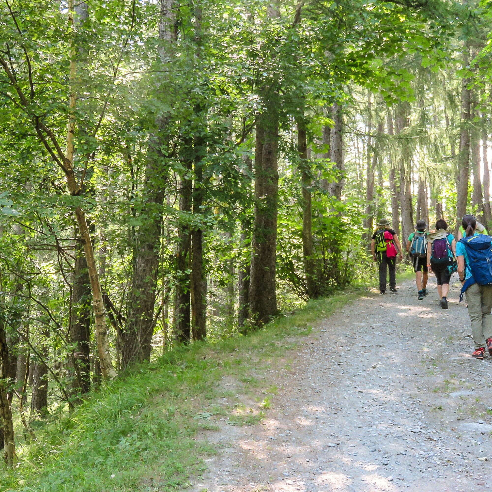
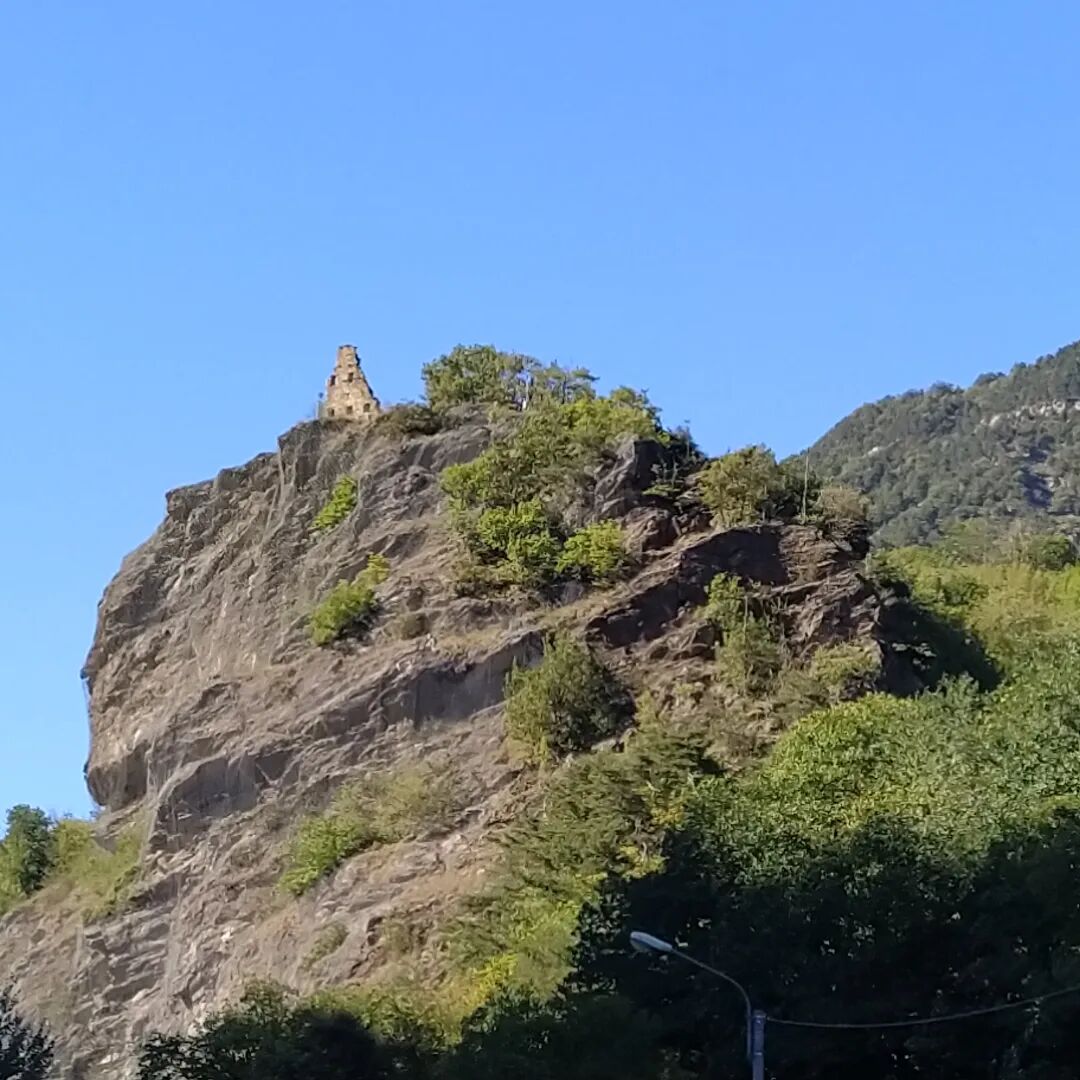
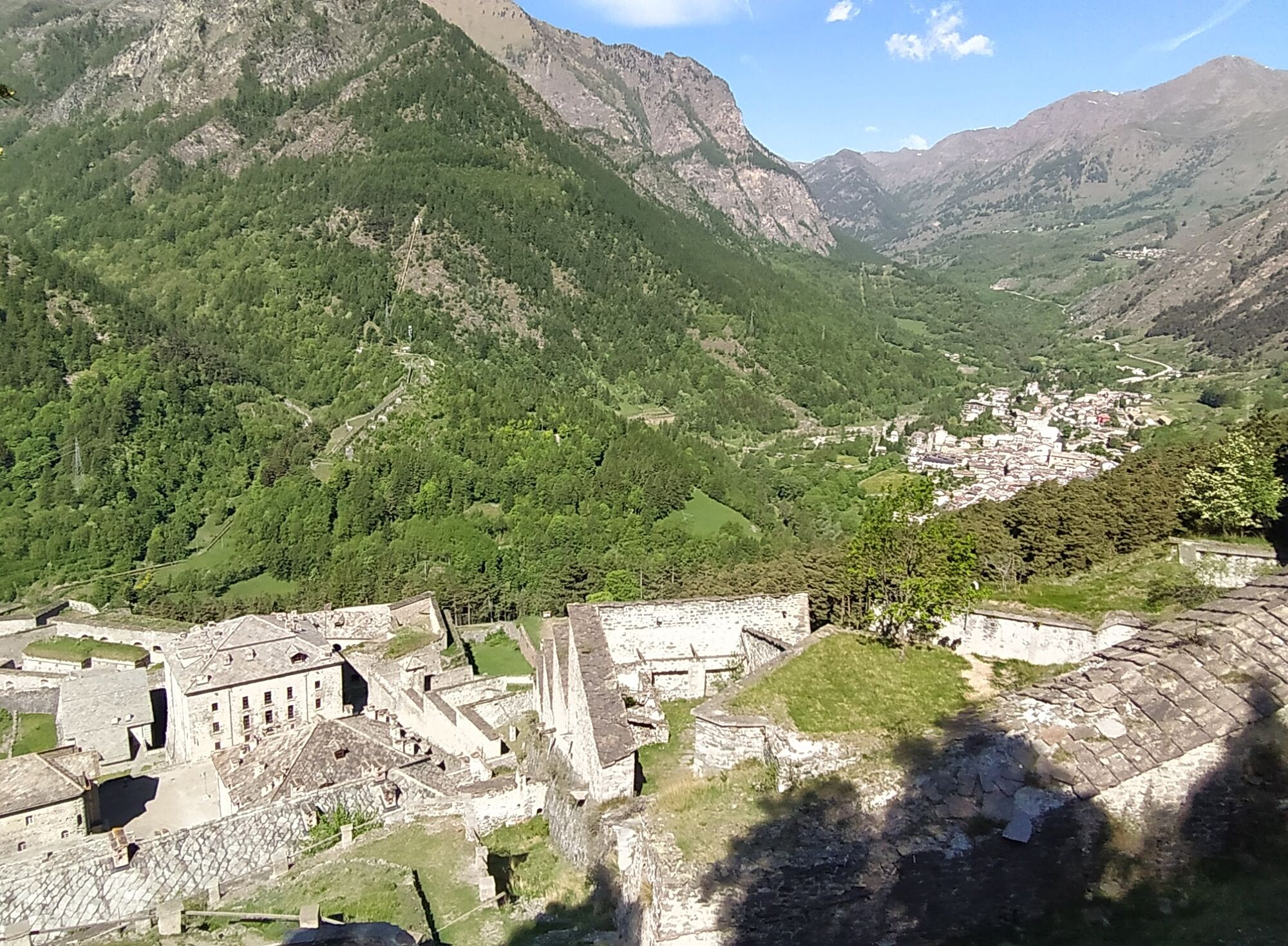
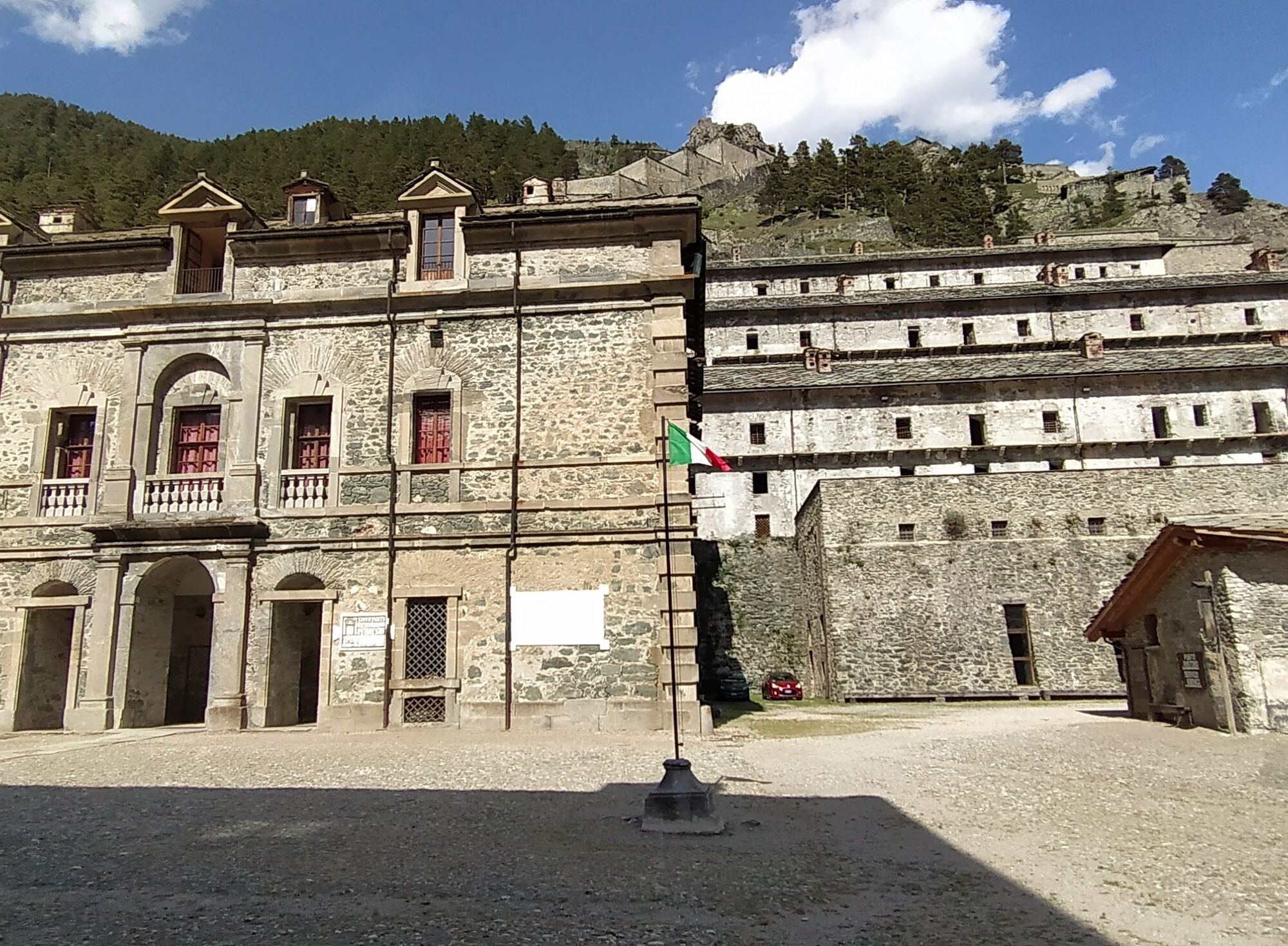
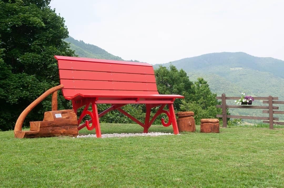
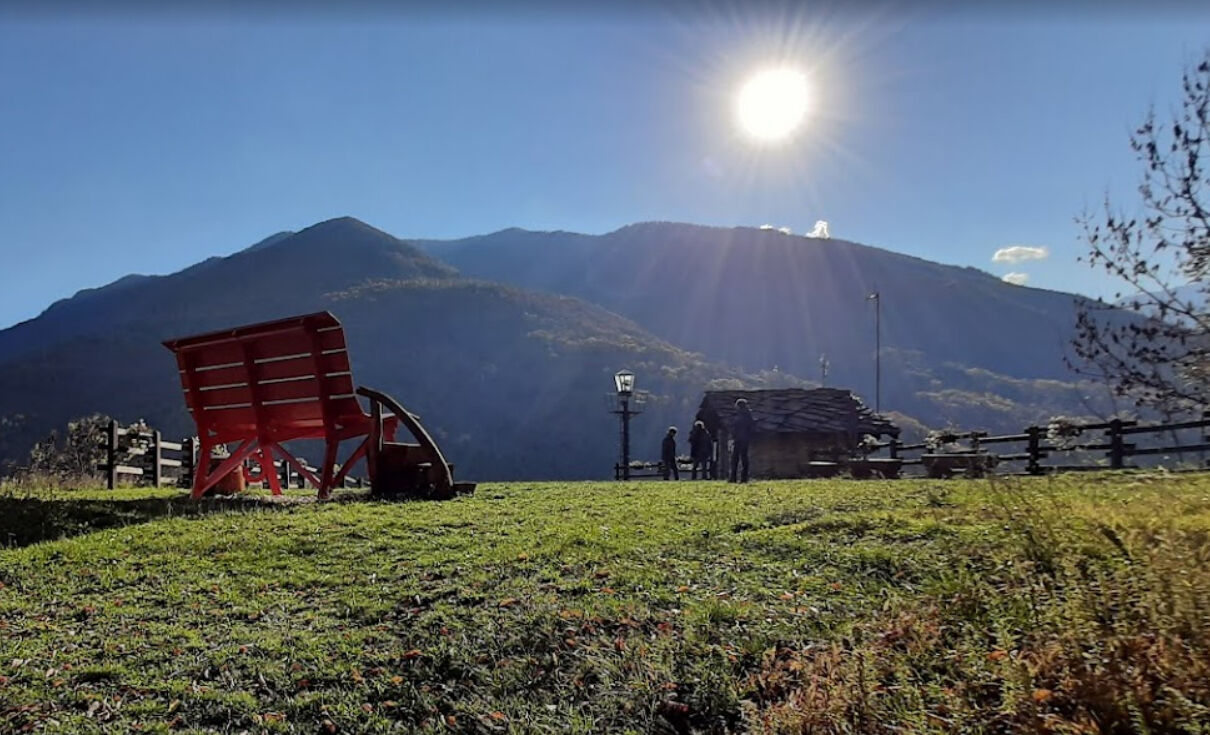
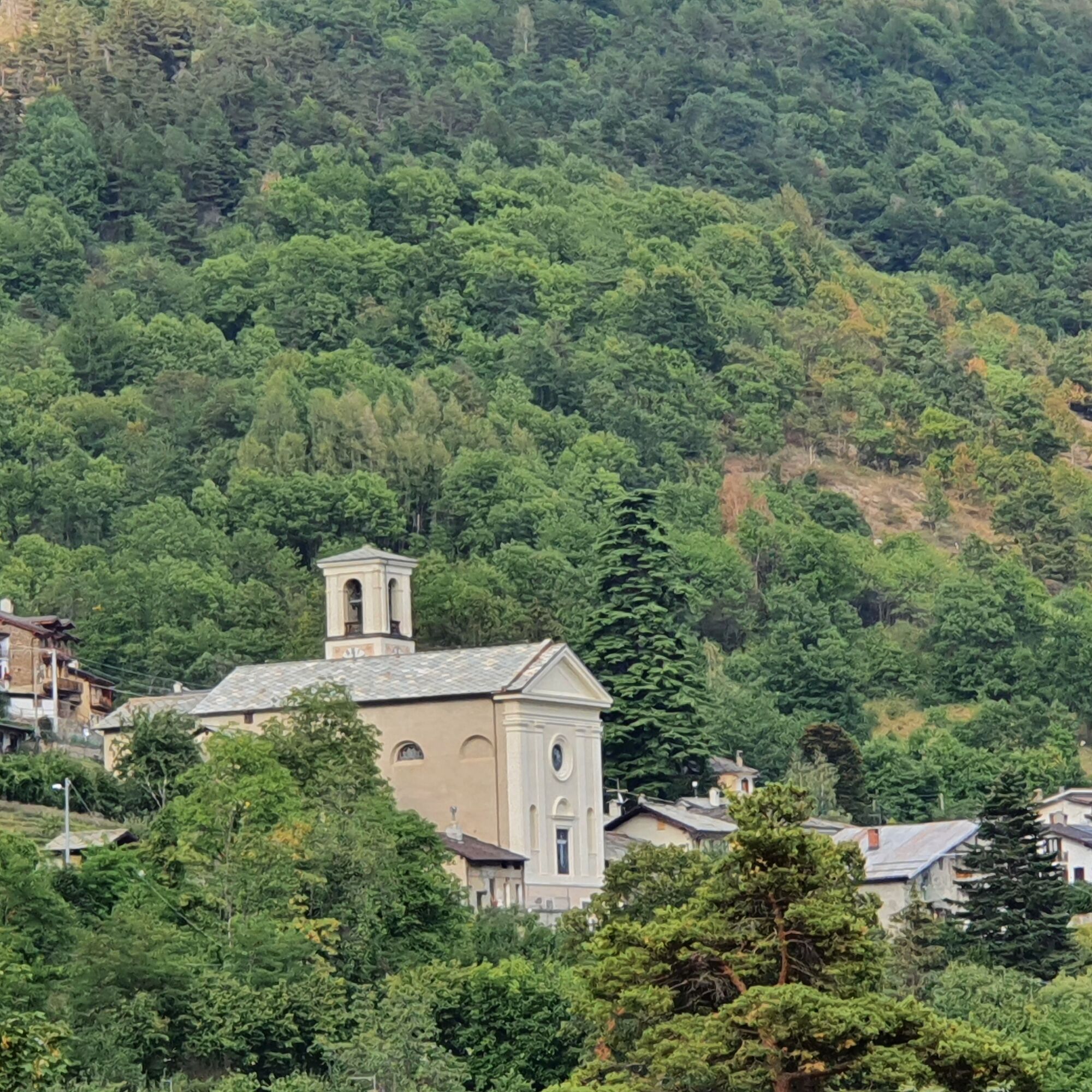
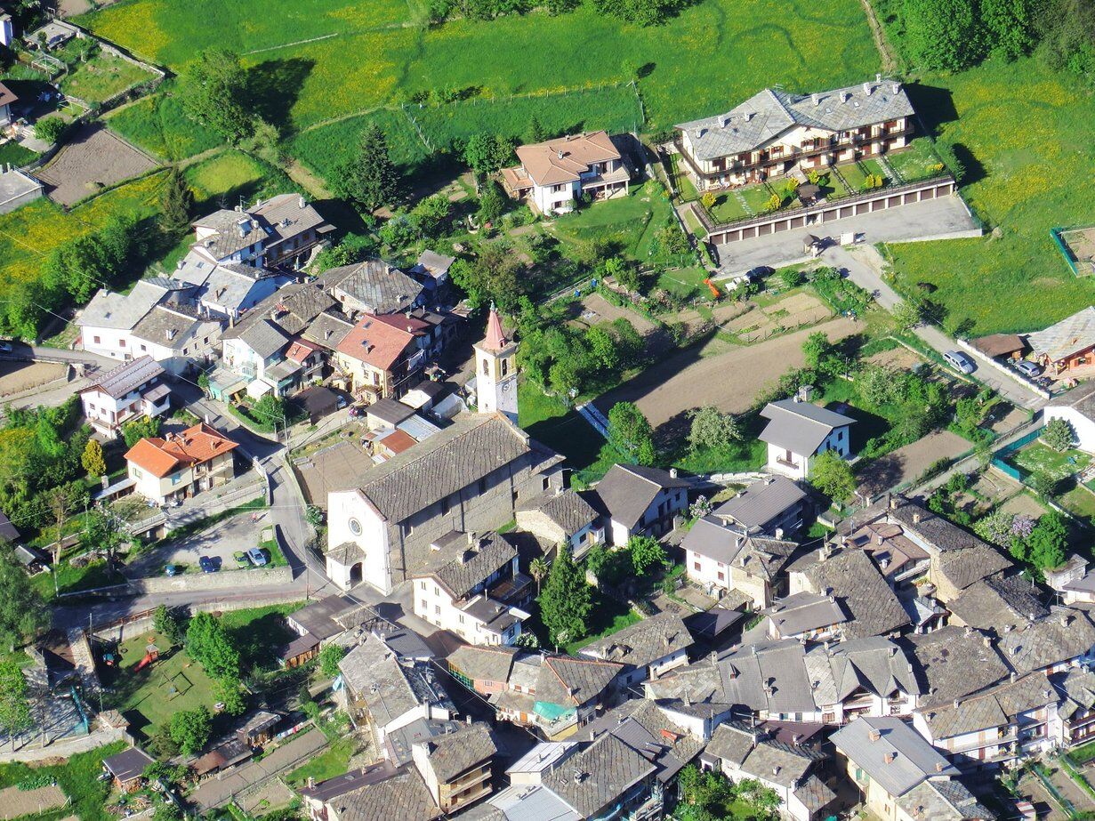

From Chialme, passing through Prageria and Rio Agrevo, it is possible with a detour to visit the beautiful Pissa Waterfall and rejoin the route in less than 1 km. After a few meters, the noises of the road are forgotten and you find yourself surrounded by oaks, cherry trees, ashes, chestnuts, and blackberries!
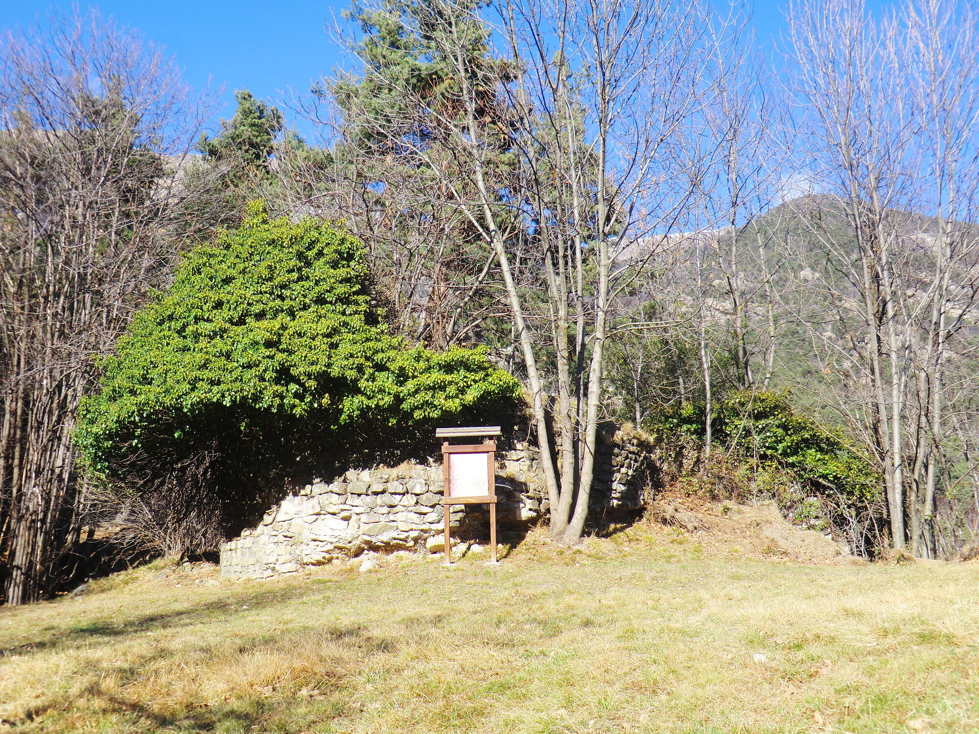
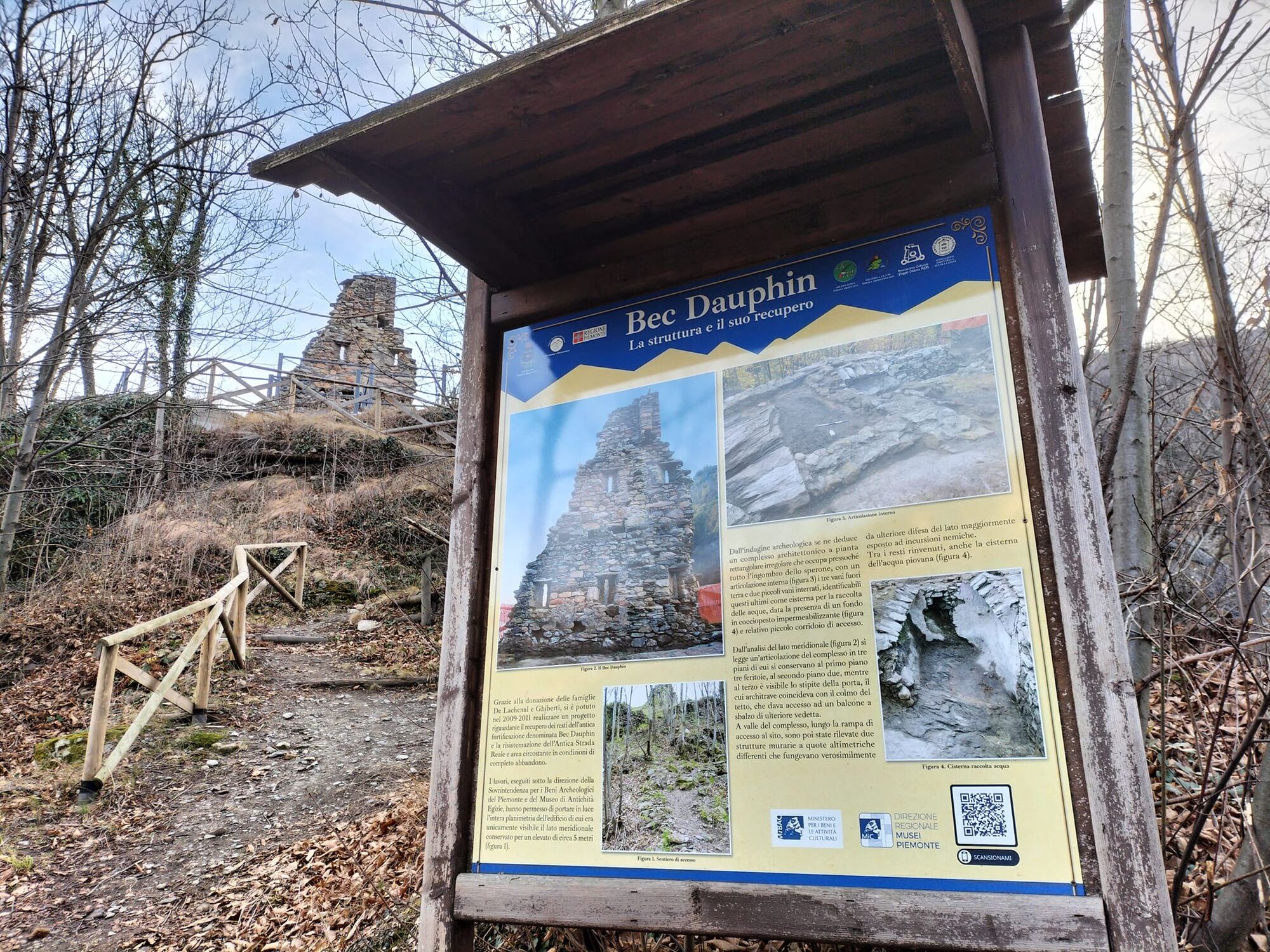
Following the trail just before entering the hamlet of Ciapella, take a wide path on the left (which can also be linked from the town center if you wish to cross it) that leads to Bec Dauphin, the archetypal symbol of the disputed border between the Dauphiné and Savoy and its troubled history.
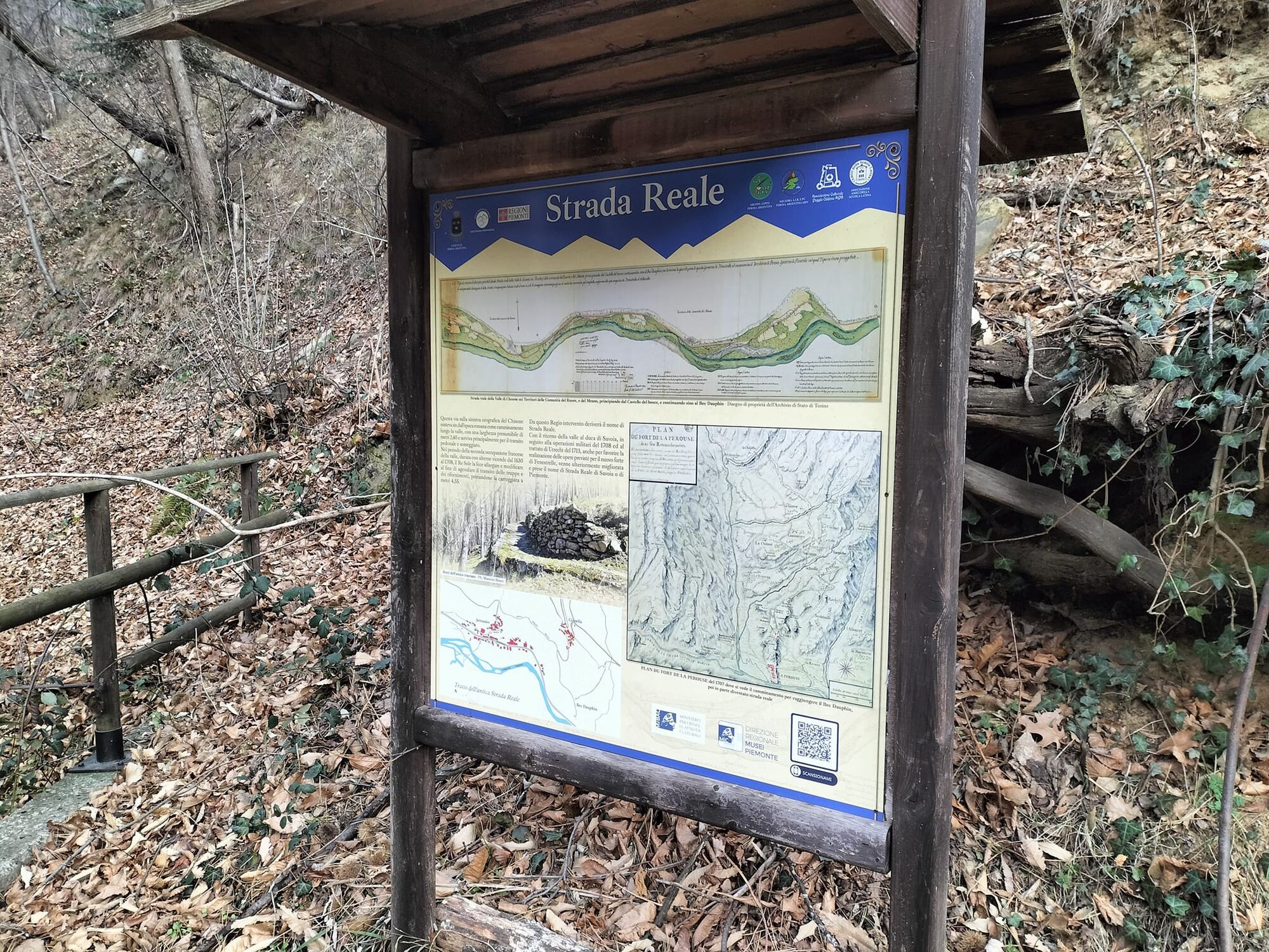
After visiting Bec Dauphin, resume walking on the ancient royal road until you reach the ruins of Casaforte Auruç, named after Oberto Aurus, marshal of the Dauphin of Vienna around 1239, then reach the hamlet of Lageard, still surrounded by fruit and aromatic plants. Cross the hamlet and take the contour path among the chestnut trees that leads to Serre.
Follow the road to Castel del Bosco, immediately after the church turn right and then left following in this stretch the Sentiero del Dahu to reach Vignal and its beautiful murals. The path continues next to the village washhouse, where the signage of the Strade dei Forti has been posted, on a comfortable mule track, passing above the village of Roreto until reaching the road, where you turn right to reach Balma. This entire stretch is accompanied by blackberry bushes offering a tasty snack and hazelnut trees providing shade from the sun.
Crossing the hamlet of Balma, you can admire several murals depicting typical moments of daily life in the hamlet in the past, as well as all the tools used for agricultural work. Leaving the village, continue on the mule track until the bridge over the Rouen stream; after crossing the creek, follow the path on the left towards Villaretto. Continue until reaching the center of the hamlet and descend to cross the SP23.
Along the way, you will find a grocery store with a good selection of products, a well-stocked tobacconist selling various items, and a lovely bar with both indoor and outdoor seating.
Continue following the road to a left fork (just after the parking lot with the fountain), which leads the route down towards the Chisone stream. The road becomes dirt, passes next to the artificial basin, and continues. A sign indicates private property, but there is no need to worry: the path turns left after a few hundred meters!
You are on the ancient Via dei Romani which climbs the valley up to Pragelato, mostly on the inverse side.
This stretch is full of hazelnut trees forming romantic arches over the path; some sun rays filter through the leaves and give splendid colors. You also notice the altitude increasing: conifers are appearing more abundantly.
At the fork, leave the Via dei Romani and cross the bridge to climb towards the hamlet of Mentoulles. It is worth climbing across the SP23 road to visit the picturesque center of the hamlet before resuming the route.
Once reached the main road, follow it for a short distance until the headquarters of Parco Orsiera-Rocciavrè and take the descending road to the left, following the signs for Granges. Along the route, you pass a bar/trattoria and a grocery store with typical local products. Cross the stream again and you can already see the Fenestrelle fort on the mountain ridge to the right. You rejoin the Via dei Romani, which at this point is a white road bordering the stream, and at the fork keep left, passing a playground and picnic tables scattered along the track, until reaching the village of Chambons, scene of the Women’s Rebellion in 1898 to protect the Selva from deforestation. Today this area is visitable thanks to a hiking trail equipped to allow immersion in a high value historical-natural landscape. Inside the Selva, there are monumental trees: magnificent larch trees, gentle giants with crowns of soft light green needles protecting their mountain.
After passing the Selva, continue to the hydroelectric plant and the Ridotta Carlo Alberto, clearly visible as it towers above the trees along the stream. From here, you can choose to follow the road that rises slightly to the left after the plant, usually less frequented, or take the Via dei Romani again, continuing straight along the stream. The two roads merge shortly before entering Fenestrelle, at the bridge. Climbing a little further on the same road in the opposite direction to Fenestrelle, it is possible to visit the ruins of Forte Mutin, the “first fortress of Fenestrelle,” built at the end of the 17th century by the French to protect the then French Val Pragelato from the danger of Savoyard attacks. A pleasant walk with explanatory panels guides visitors among the evocative ruins immersed in the forest.
Descending from Forte Mutin, cross the bridge to enter Fenestrelle. Pass the school and go up via Roma to reach the town's main street: via Umberto I. Here you can find a grocery store, several bars and restaurants, a fabric store, a mountain technical clothing store, two hair salons, and much more.
Strolling through the village’s ancient streets, you can savor its history, closely linked to that of the eponymous Forte.
Áno
Wear clothing and footwear suitable for the environment and season.
Water points are available in almost all the hamlets encountered along the route.
Arrive at Pinerolo following the A55 if coming from Turin. Then take the SP23 of Sestriere and follow signs for Perosa Argentina.
In the center of Perosa Argentina, there are some public parking lots.
T1
It is good practice not to undertake a hike alone; always inform someone of your destination.
Do not litter but carry your waste with you, possibly collecting any left by others.
The reported travel times are indicative and may vary depending on weather conditions and your abilities.
To learn more about the Women’s Rebellion of the Selva di Chambons:
It is worth venturing into the hamlet of Vignal to admire its colors among flowers and murals painted on walls and doors.
Obľúbené výlety v okolí
-
PRAGELATO Lake Laux
svetloMountainbike 21,2 km -
FENESTRELLE MTB to Selleries Refuge
strednáCyklistika 16,0 km -
The Fort Roads - stage 11 from Massello to Prali
ťažkéPútnická trasa 13,7 km -
Le Strade dei Forti
ťažkéPútnická trasa 227,2 km -
4,0
The Giro dell'Orsiera G.O. Trail Stage 1: Molè - Rifugio Balma
strednáTuristika 4,52 km -
Angrogna Valley Loop
Turistika 38,3 km -
PINEROLO Trail "Ecomuseum of the Charcoal Piles"
strednáTuristika 7,46 km -
PRALI Rocca Bianca Loop
ťažkéMountainbike 17,9 km -
Le Strade dei Forti - stage 7 from Fenestrelle to Pian dell'Alpe
strednáPútnická trasa 11,5 km -
4,0
ROURE by MTB at Prato del Colle
strednáCyklistika 7,82 km
Turistika a stopovanie


Nenechajte si ujsť ponuky a inšpiráciu na ďalšiu dovolenku
Vaša e-mailová adresa bol pridaný do poštového zoznamu.





