







ROURE by MTB at Prato del Colle
Úroveň náročnosti: 1
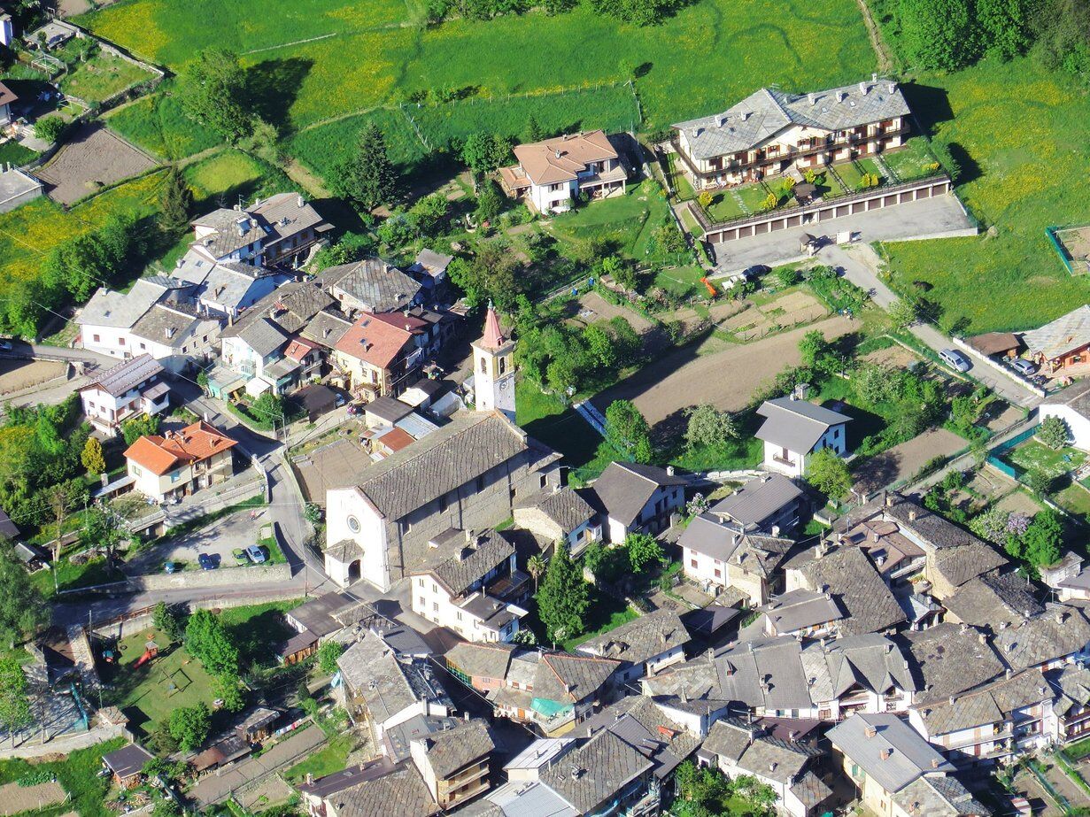
From Villaretto (a hamlet of Roure), take via Gleisolle, which winds upwards and touches the hamlets of Piccolo Faetto, Le Bergiè, and Gran Faetto. Here the asphalt ends and the dirt road begins, which...
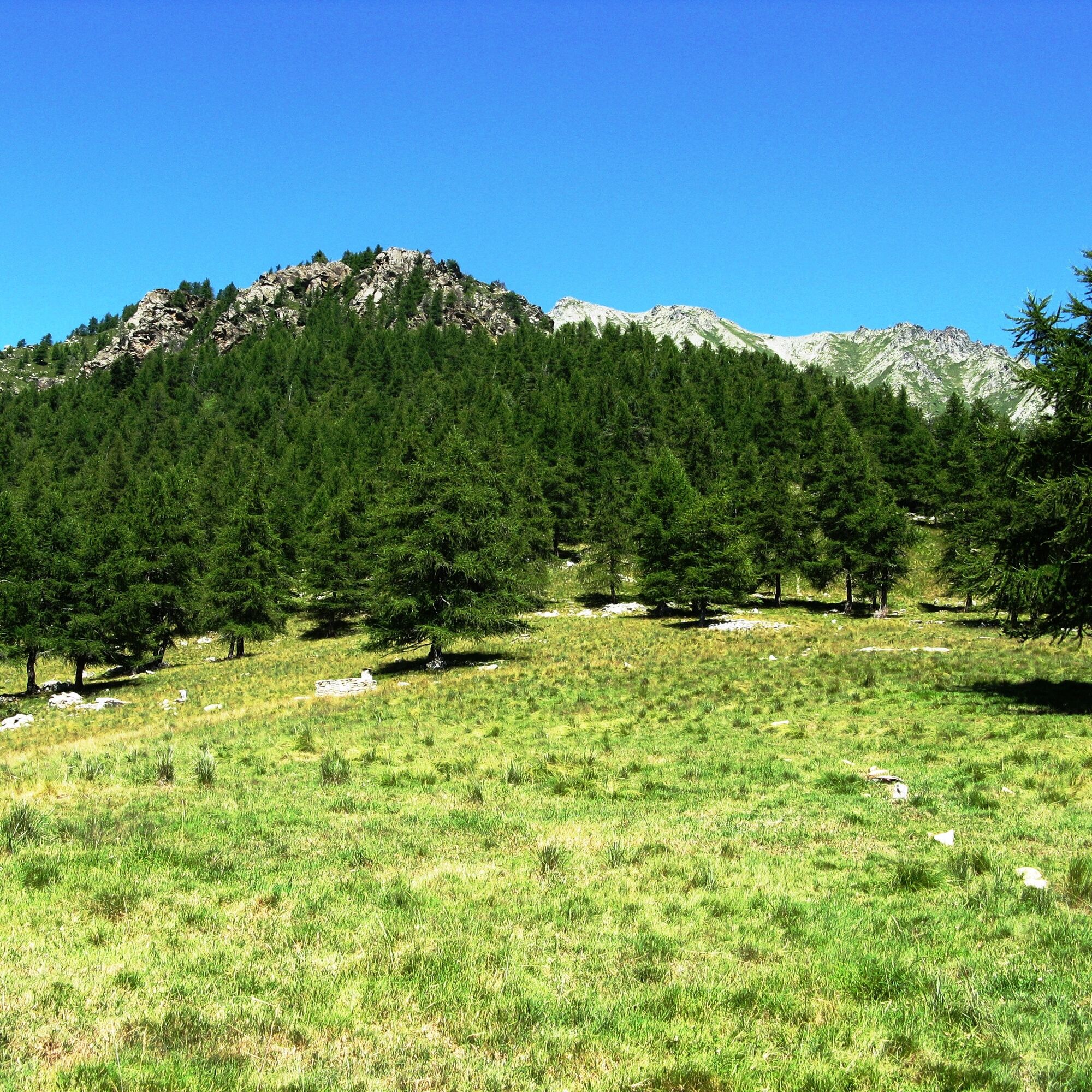
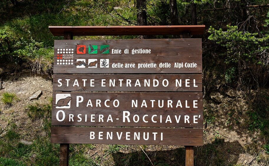
From Villaretto (a hamlet of Roure), take via Gleisolle, which winds upwards and touches the hamlets of Piccolo Faetto, Le Bergiè, and Gran Faetto. Here the asphalt ends and the dirt road begins, which shortly leads into the Orsiera-Rocciavrè Natural Park. You find yourself in the wild Roussa valley, where numerous talc mines were once active: now surrounded by vegetation, the mine service buildings, tunnel entrances, and extracted material deposits are still visible.
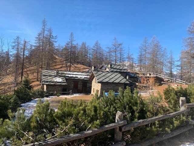
After passing the junction for Albournù, you pass the houses of Colletto, Pitoniere d'Aval, and Pitoniere d'Amont, and finally reach the alpine pasture of Prato del Colle at 1,720 m, the endpoint of our route. From here, the view extends over the entire middle Val Chisone and the ridges beyond which lies the Val Sangone.
The return follows the same path.


Áno
Appropriate clothing and equipment are recommended.
Before undertaking any hike, it is advisable to check weather reports or ask for information at local Tourist Offices.
It is good practice not to hike alone and always inform someone about your destination.
Do not litter but carry your waste with you, possibly collecting those left by others.
The travel times indicated are approximate and may vary depending on weather conditions, personal abilities, and the type of bike used.
Coming from Turin, take the highway towards Pinerolo, then continue towards Val Chisone. Follow the SR23 of Sestriere until the village of Villaretto.
ARRIVA bus service https://arriva.it/
There are several free parking areas in Villaretto.
1
From Pitoniere d'Aval it is possible to take the trail which, in about an hour and a half, leads to Colle della Roussa (2,019 m), from where you overlook the Val Sangone.


Obľúbené výlety v okolí
-
PRAGELATO Lake Laux
svetloMountainbike 21,2 km -
FENESTRELLE MTB to Selleries Refuge
strednáCyklistika 16,0 km -
The Fort Roads - stage 11 from Massello to Prali
ťažkéPútnická trasa 13,7 km -
Le Strade dei Forti
ťažkéPútnická trasa 227,2 km -
4,0
The Giro dell'Orsiera G.O. Trail Stage 1: Molè - Rifugio Balma
strednáTuristika 4,52 km -
PINEROLO Trail "Ecomuseum of the Charcoal Piles"
strednáTuristika 7,46 km -
PRALI Rocca Bianca Loop
ťažkéMountainbike 17,9 km -
Le Strade dei Forti - stage 7 from Fenestrelle to Pian dell'Alpe
strednáPútnická trasa 11,5 km -
Le Strade dei Forti - stage 6 from Perosa Argentina to Fenestrelle
strednáPútnická trasa 19,4 km -
PINASCA Grandubbione Ring
strednáCyklistika 28,8 km
Turistika a stopovanie


Nenechajte si ujsť ponuky a inšpiráciu na ďalšiu dovolenku
Vaša e-mailová adresa bol pridaný do poštového zoznamu.





