





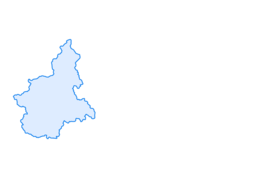

BARDONECCHIA Colle della Scala - Col de Montgenèvre loop

Úroveň náročnosti: 3
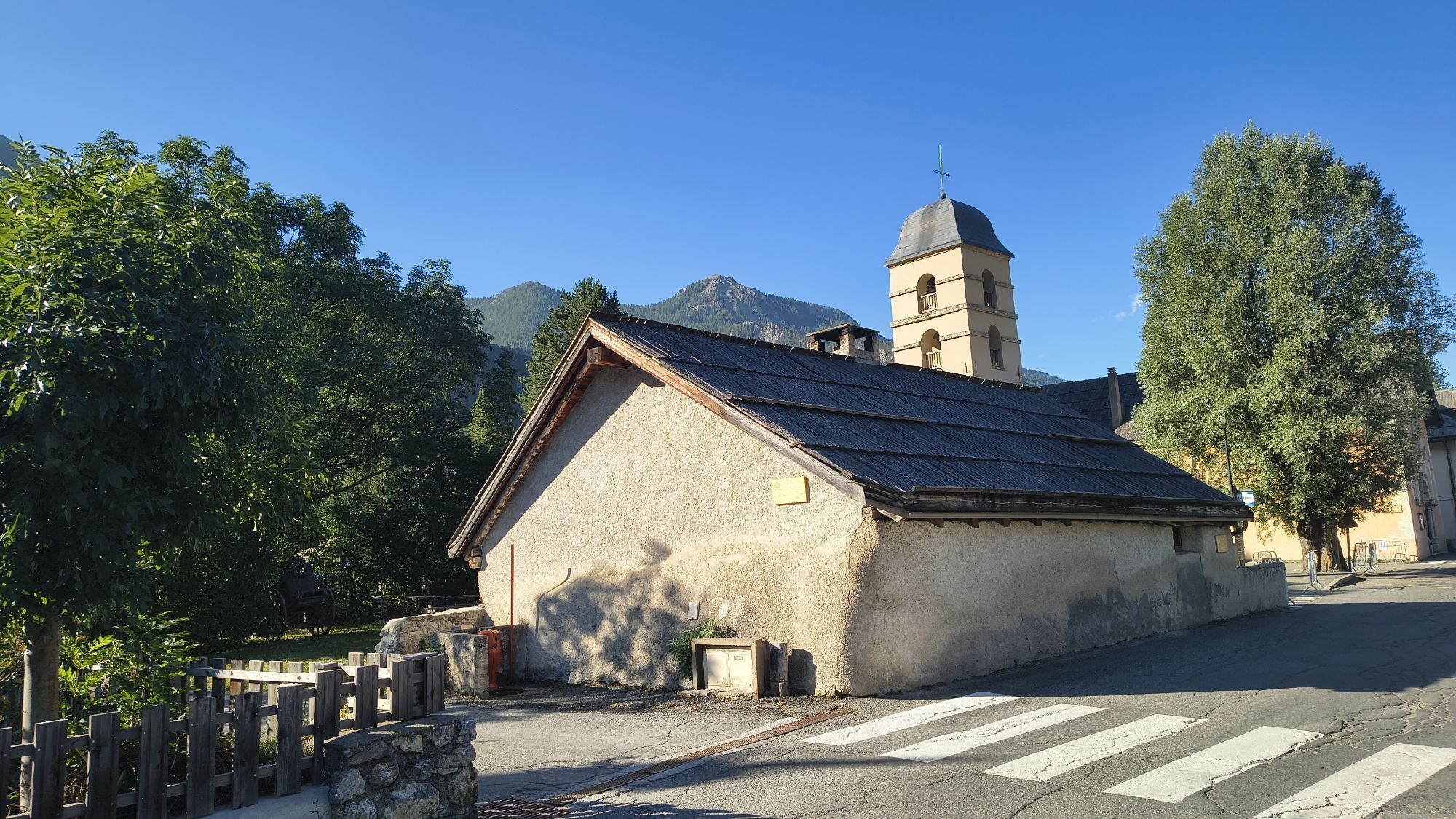
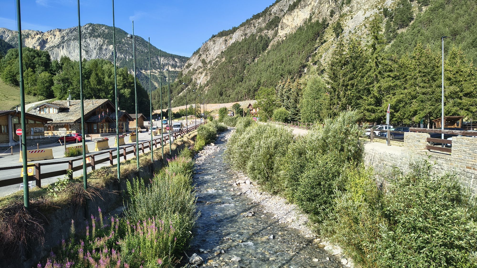
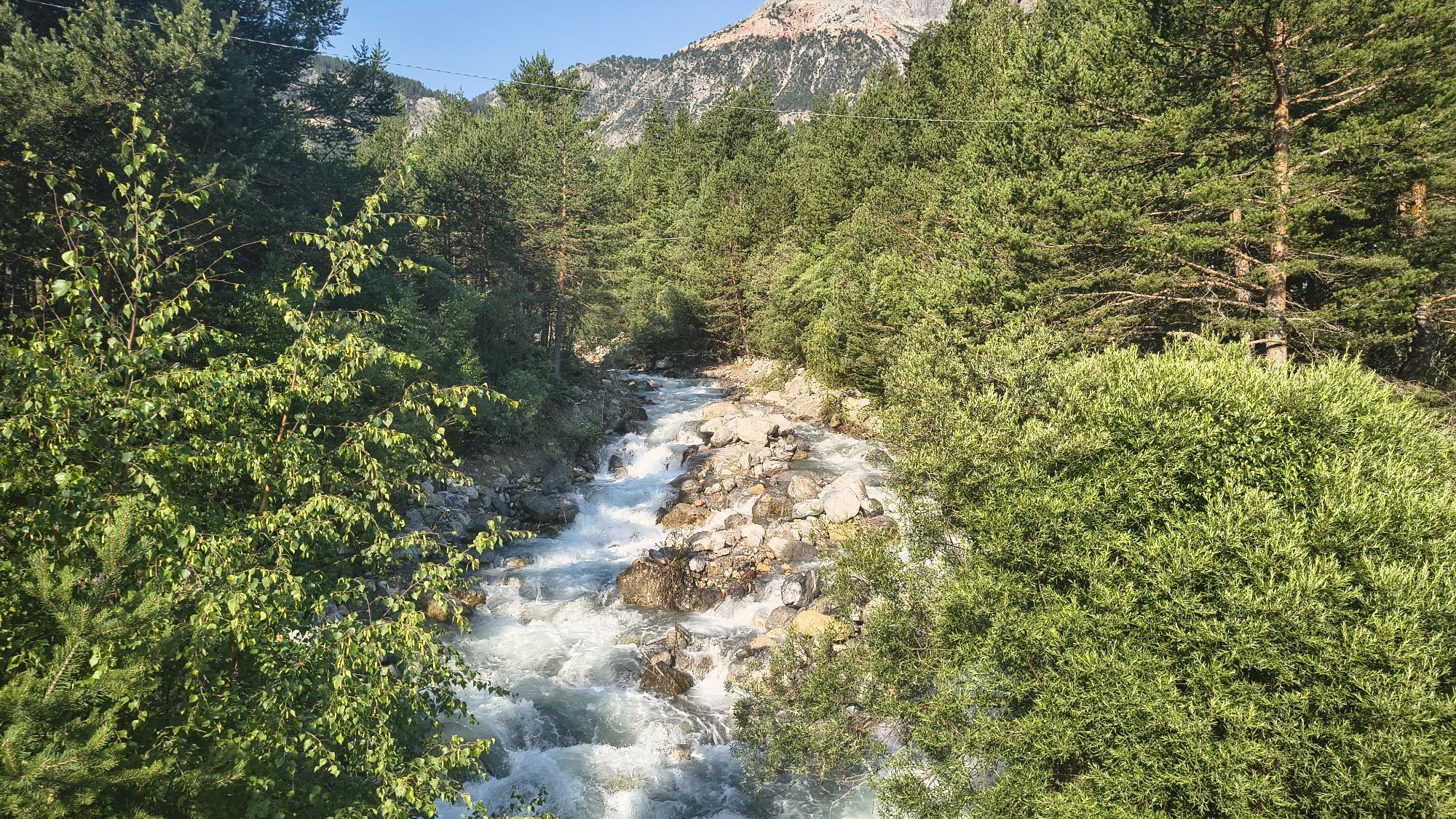
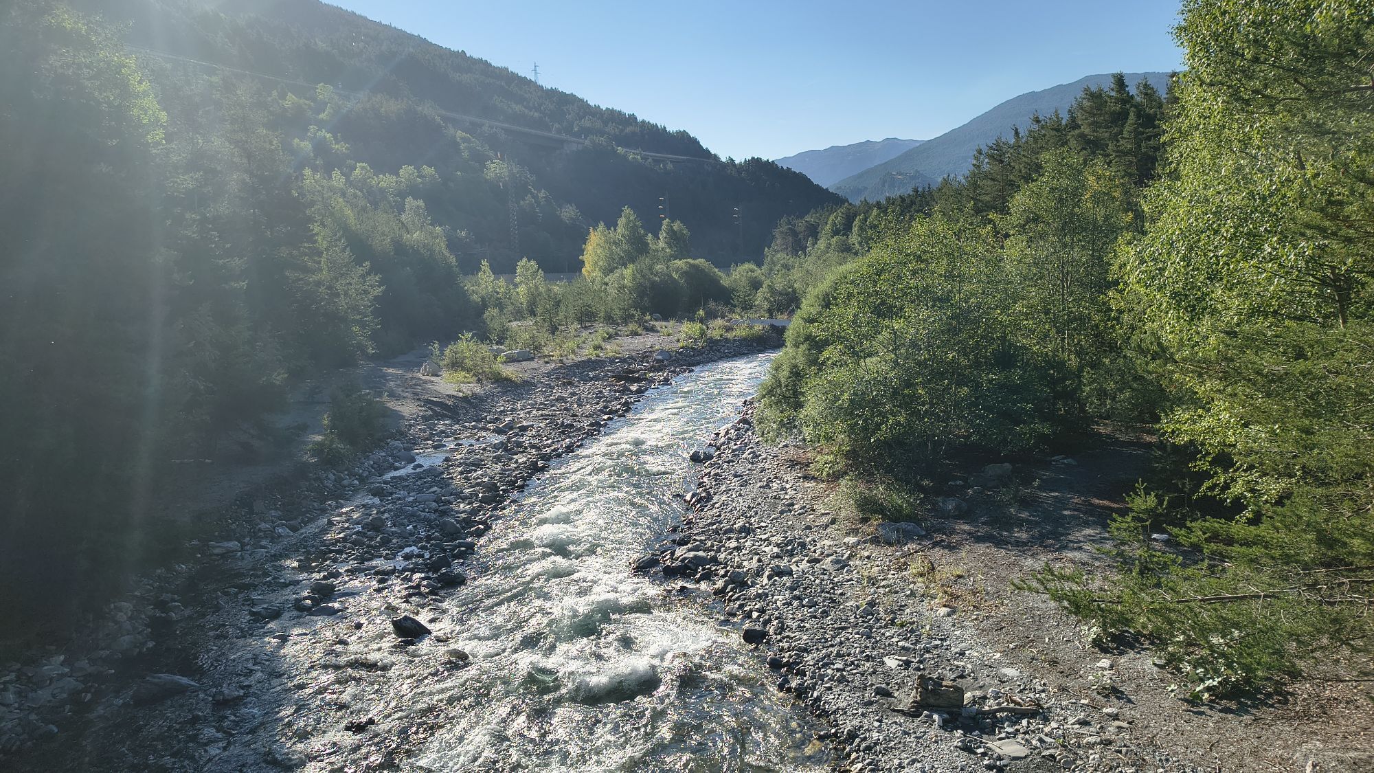
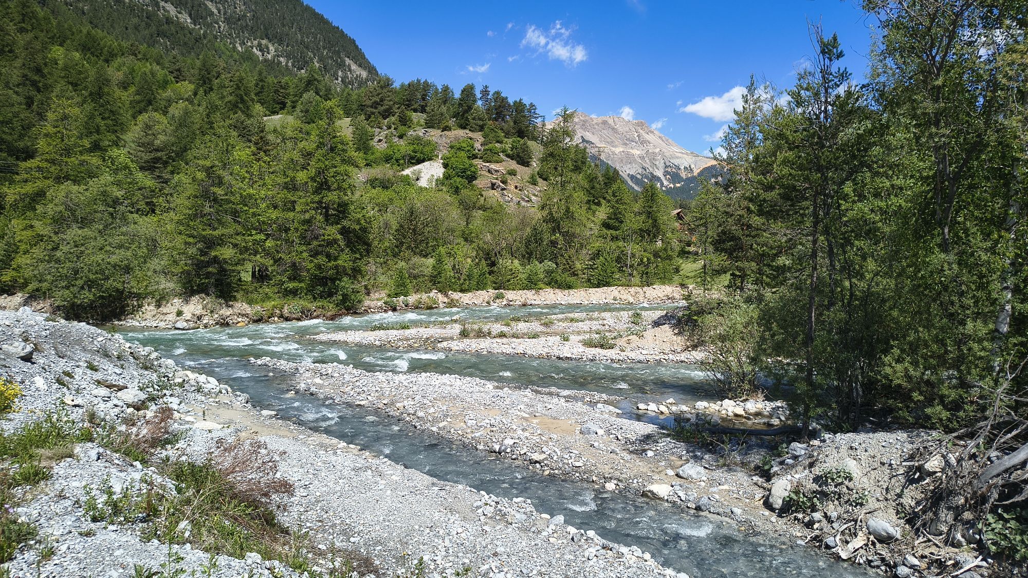

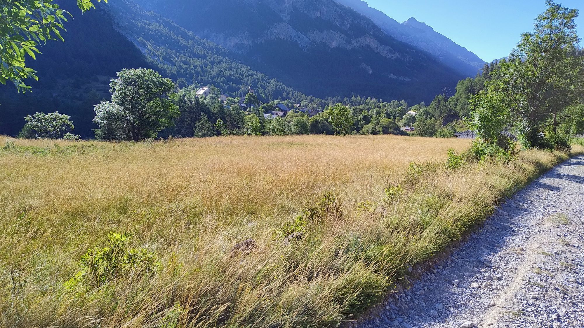
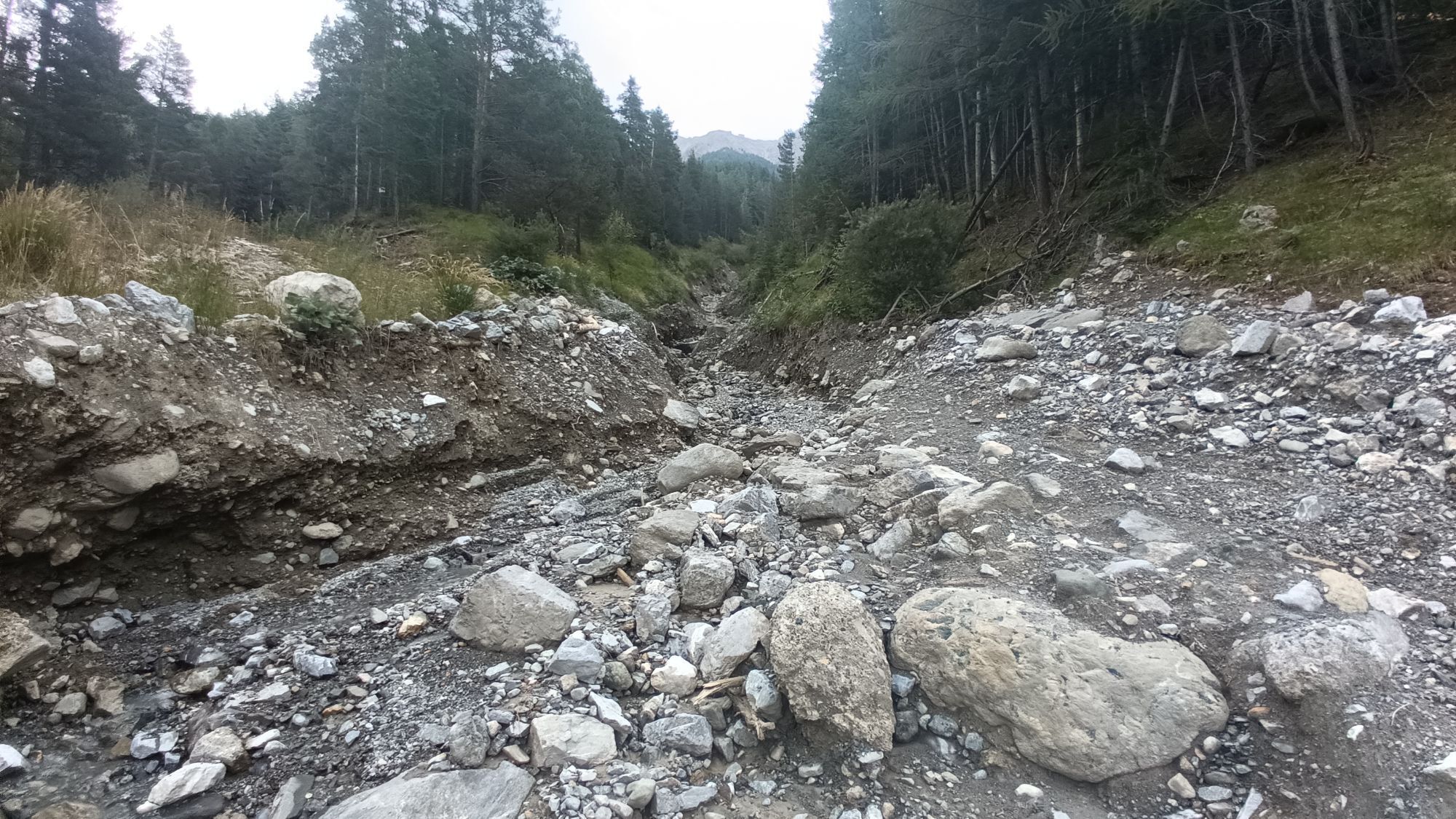
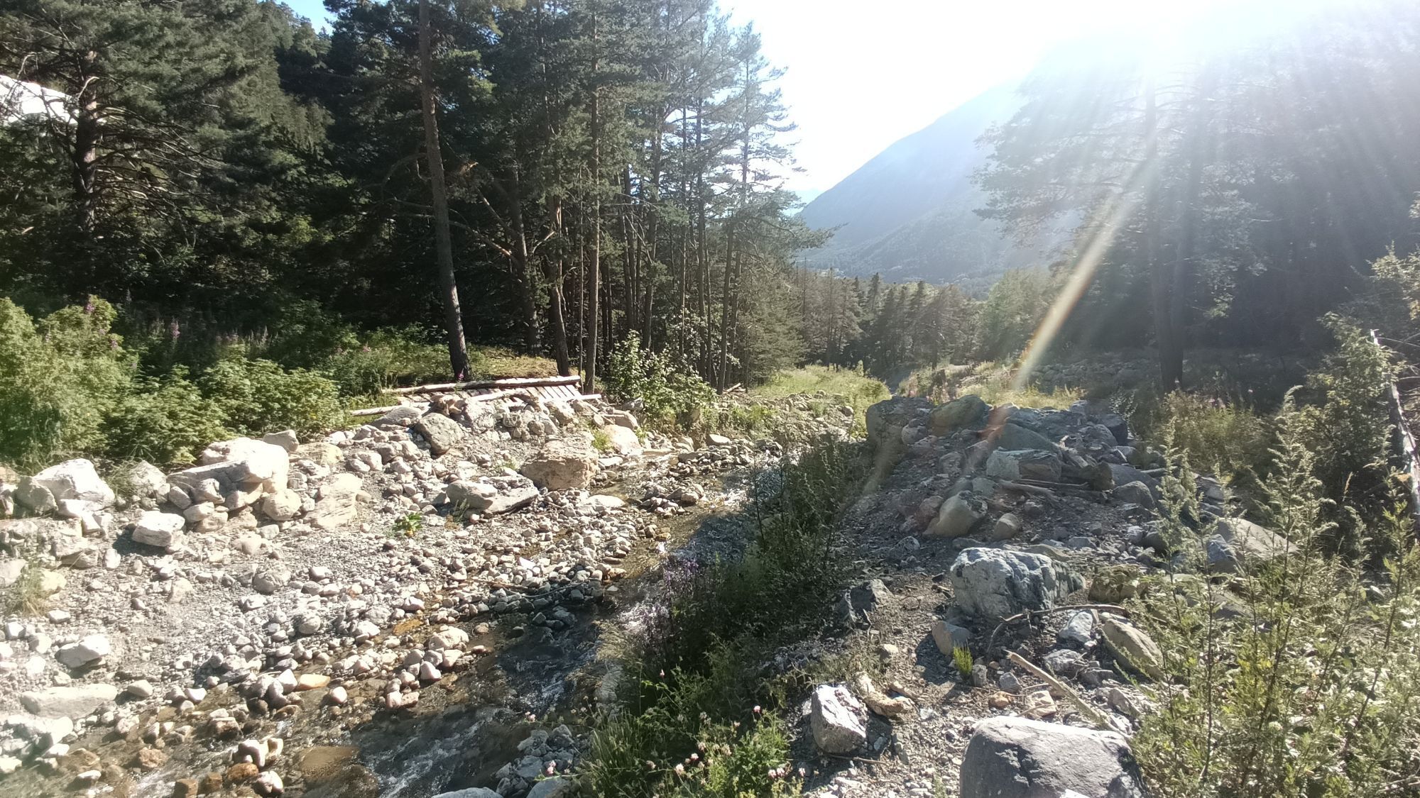
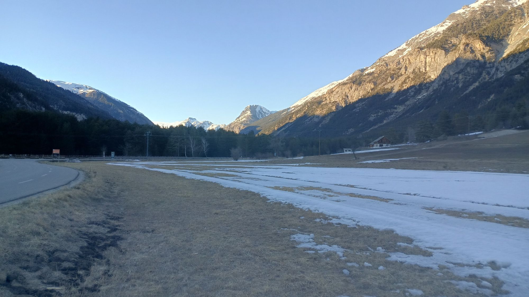
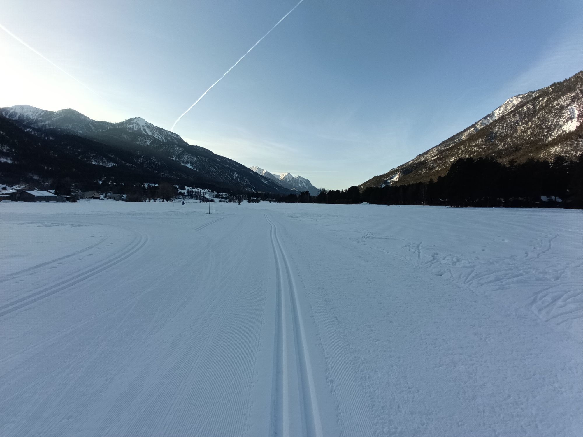
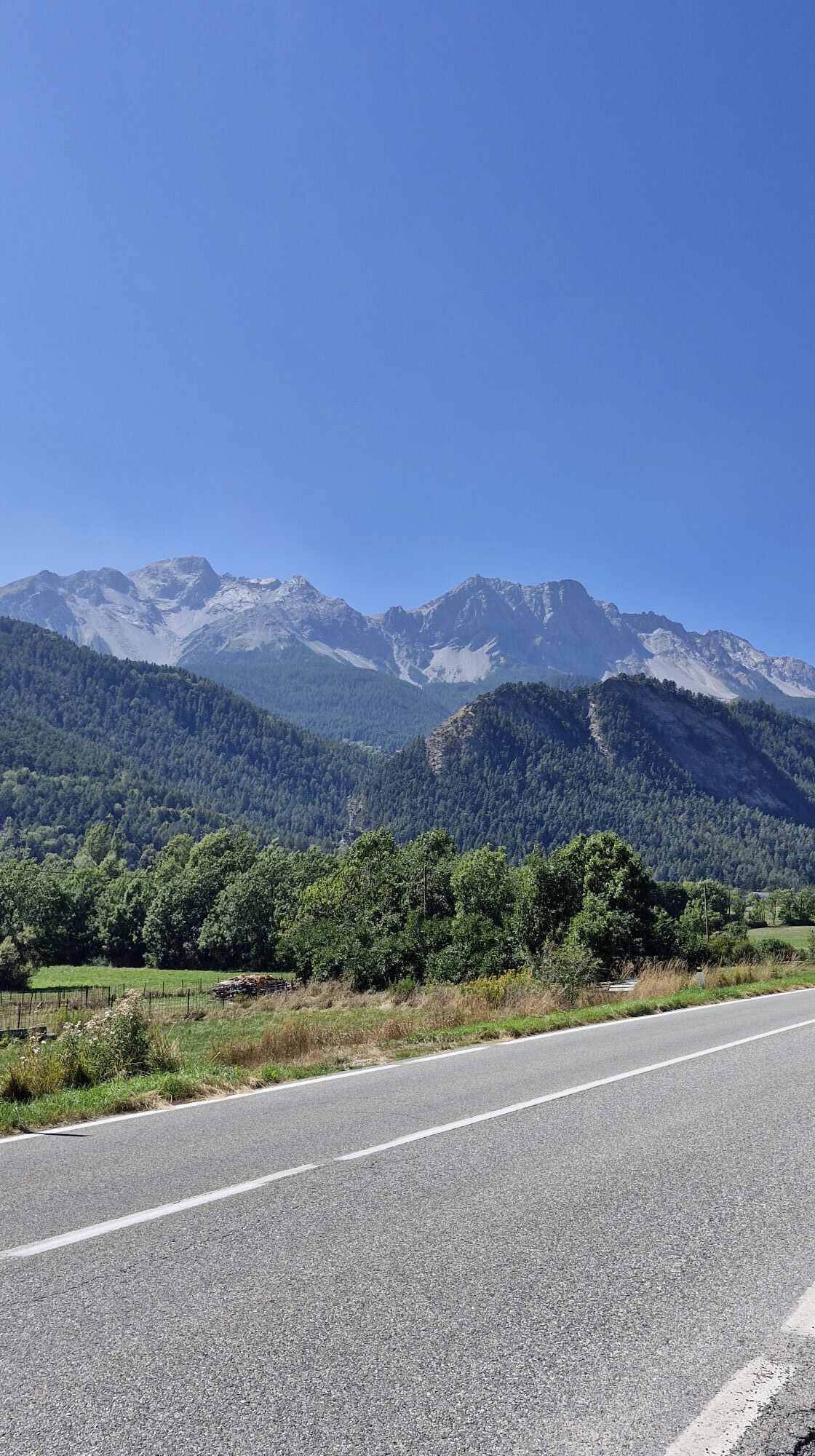
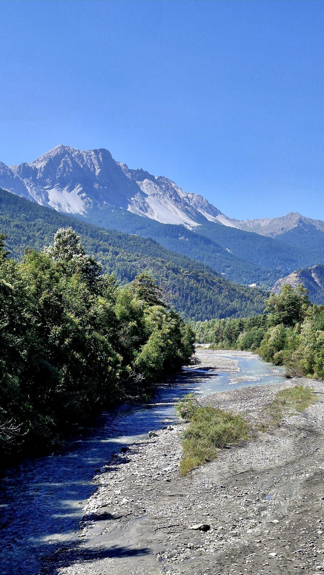
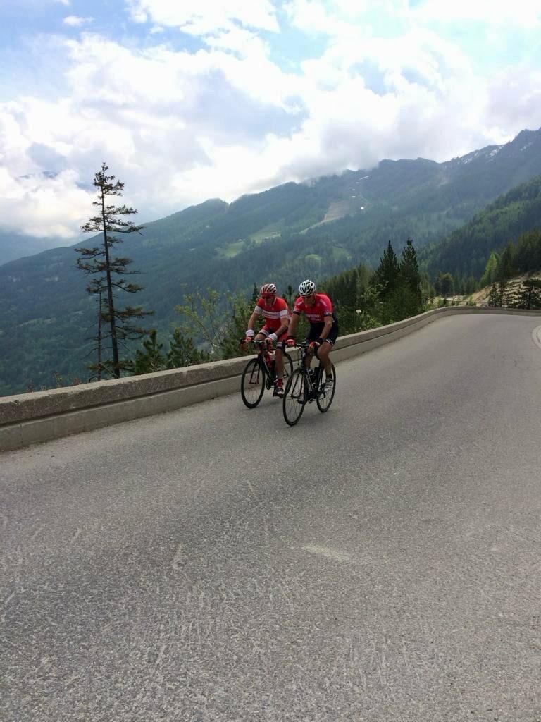
The route starts with a gradual climb to Pian del Colle, then steepens with a more severe gradient along the hairpin bends carved into the cliff, leading to Colle della Scala (Col de l'Échelle), where...
The route starts with a gradual climb to Pian del Colle, then steepens with a more severe gradient along the hairpin bends carved into the cliff, leading to Colle della Scala (Col de l'Échelle), where you can enjoy a magnificent view of Bardonecchia. The route continues downhill on the French side along the enchanting Vallée de la Clarée crossing several villages until reaching the main road which, with a challenging climb, leads to Col de Montgenèvre. Upon reaching the pass, a hairpin descent begins to Cesana, followed by a gentler descent to Oulx, then returning to Bardonecchia along the main road with a slight ascent.
These roads have been part of major cycling events such as the Tour de France.

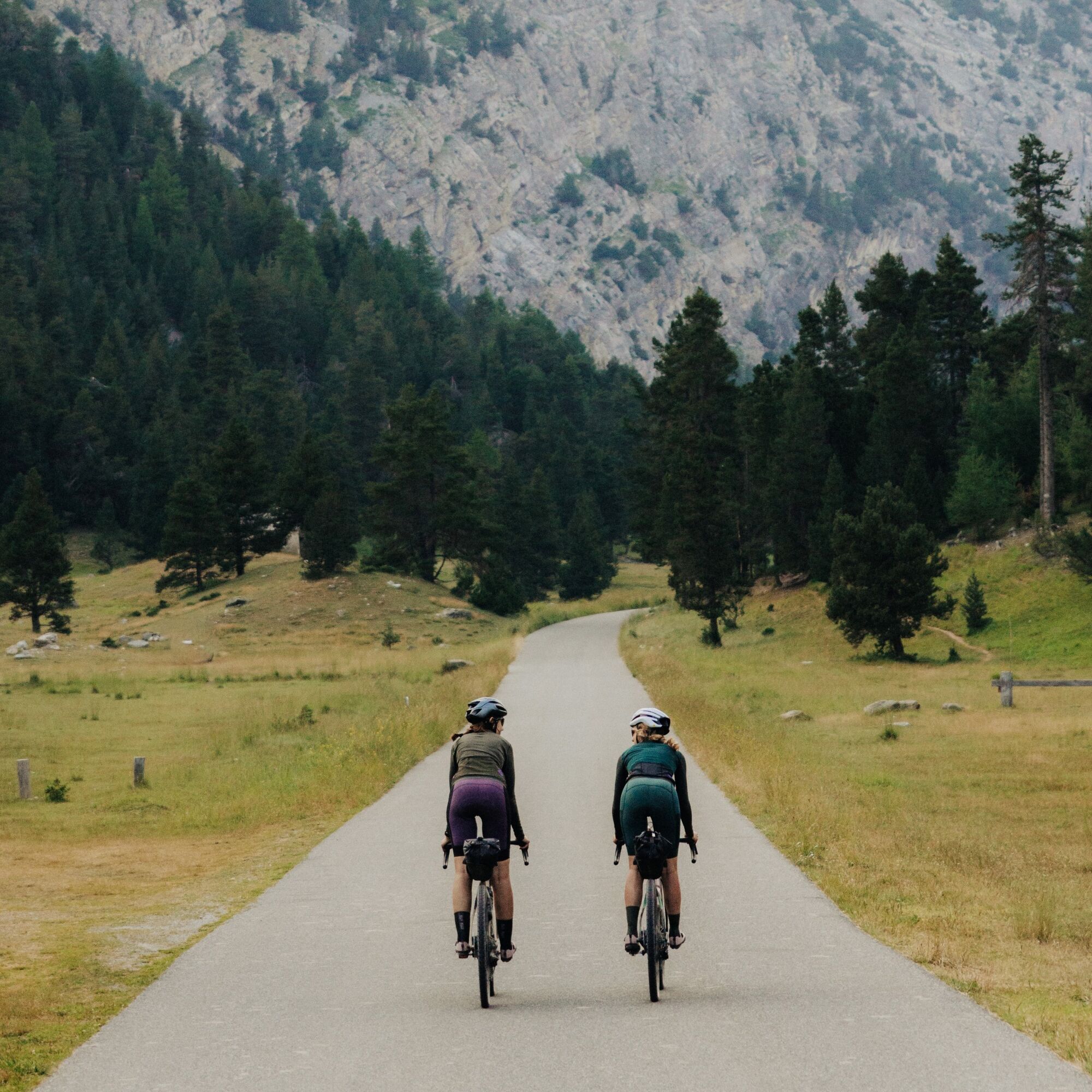
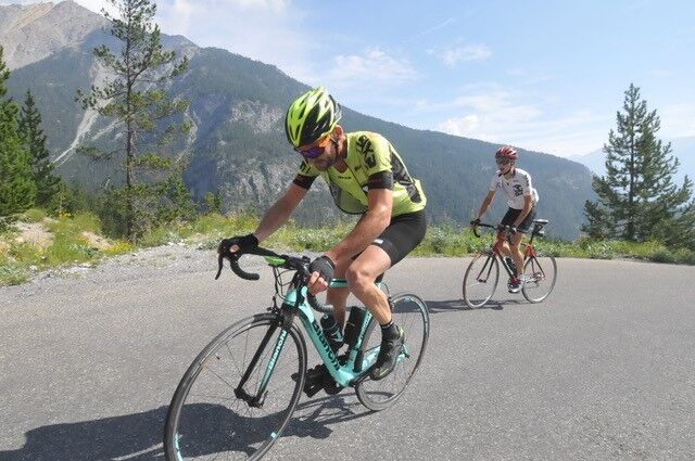
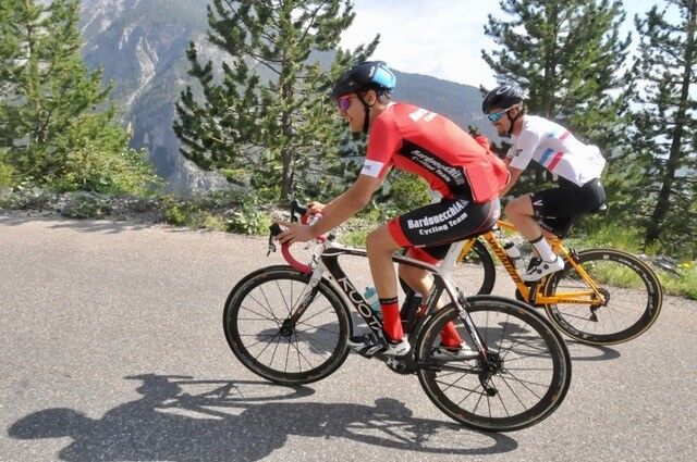

From the train station, head towards Campo Smith and continue along the gently uphill road to Les Arnauds, Melezet until reaching Pian del Colle. From here begins the hairpin climb to Colle della Scala (Col de l'Échelle). Pass by the Sette Fontane Dam and continue to the junction with the road leading to Valle Stretta. Keep left following the signs for Colle della Scala. Once at the pass, descend until meeting road D994G, where you must turn left towards Briançon. Cross the villages of Plampinet, Val des Prés, and Le Rosier until reaching the main road, where you turn left towards Col de Montgenèvre. After some hairpins, you reach the pass. Cross Montgenèvre and Claviere, passing through the village, then descend towards Cesana. The recently built tunnel between Claviere and Cesana cannot be cycled through: take the old road on the right just before the tunnel, which reconnects a bit lower to the main road. In Cesana, continue straight at the first roundabout and at the second, turn left and take the road to Oulx. Enter the town, at the main junction turn left and continue to the level crossing. Cross it and after the highway, turn left to take the main road which, with a slight ascent, leads back to Bardonecchia. Upon entering the town, turn left where the ENI gas station is located, reaching the roundabout, where you must turn right to return to the train station.
Road bike
Gravel
The road to Colle della Scala is prone to falling rocks, especially in bad weather, so you may find stones or gravel on the road surface. Col de Montgenèvre is quite busy as it is an international connection road between Italy and France.
By car:
- A32 Motorway Turin - Bardonecchia, Bardonecchia exit
- State Road 24: Turin - Oulx and then State Road 335: Oulx - Bardonecchia
Once in Bardonecchia, head to Via Torino towards the parking adjacent to the Police Station
By train:
- line Turin Porta Nuova - Bardonecchia
From the Bardonecchia train station head towards the Police Station on Via Torino
Parking adjacent to the Police Station
3
Bring a light to be more visible in the numerous tunnels
Enjoy the view from the last hairpin of the climb to Colle della Scala, along the Vallée de la Clarée and from Col de Montgenèvre
Webové kamery z prehliadky
-
Front de neige - Montgenèvre
-
Chesal
-
Punta Ban
-
Pian del Sole
-
Melezet
-
Vialattea - Colle Bercia
-
Vialattea - Monte Fraiteve
-
Vialattea - Roccia Rotonda
-
Vialattea - Monte Triplex
-
Sauze D'Oulx - Monte Fraiteve
-
Sauze d'Oulx - Mont Triplex
-
Sestriere - Monte Fraiteve
-
Roccia Rotonda
-
Col de Montgenèvre
-
Luge Monty Express - Montgenèvre
-
Névache - Domaine nordique
-
Sommet TS Brousset
-
Chesal 1805
-
Vallon Cros
-
6 gigante
-
Campo Smith 1

Obľúbené výlety v okolí
-
4,7
BARDONECCHIA Col des Acles - Passo della Mulattiera
strednáTuristika 6,23 km -
BARDONECCHIA - Loop Colle della Scala - Col de Montgenèvre - Colle del Sestriere
ťažkéCestný bicykel 91,9 km -
CESANA T.SE Lago Nero - Seven Colors Lake
strednáTuristika 3,51 km -
BARDONECCHIA Lago Verde
svetloMountainbike 10,7 km -
5,0
CESANA T.SE Cesana - Fenils
svetloTuristika 4,60 km -
5,0
CESANA T.SE Thures - Cima Bosco
ťažkéSnežnice 3,94 km -
Ascension du Col du Granon (2413 m)
strednáMountainbike 11,3 km -
GR® 5 La grande traversée des Alpes
strednáTuristika 99,9 km -
5,0
BARDONECCHIA Chesal nature route
svetloTuristika 3,48 km -
CESANA T.SE Val Thuras
strednáTuristika 7,58 km
Turistika a stopovanie


Nenechajte si ujsť ponuky a inšpiráciu na ďalšiu dovolenku
Vaša e-mailová adresa bol pridaný do poštového zoznamu.





