





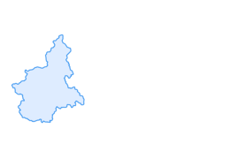

CESANA T.SE San Gervasio Gorge

The route connects Cesana Torinese (outskirts west of the town center) to Claviere, through a highly scenic itinerary retracing the course of the Piccola Dora along the short stretch where it has carved...
The route connects Cesana Torinese (outskirts west of the town center) to Claviere, through a highly scenic itinerary retracing the course of the Piccola Dora along the short stretch where it has carved and eroded the rock over millennia producing a spectacular gorge. It is also the same track that formerly connected Cesana to Claviere, before the 19th century when Napoleon's technicians traced a path on the slopes of Monte Chaberton, along which the state road still runs, although modified. The Via Francigena also passes through the Gorges, marked by the yellow/white pilgrim figure. Walking along the bottom of the gorge between imposing white rock walls up to 100 meters high, you have the opportunity to observe the characteristics of the predominant rock in this area where the abundance of limestone was locally exploited for lime production (the ruins of a lime kiln can still be seen at the beginning of the route). You can also enjoy the presence of a great variety of trees, shrubs, and flowers. The numerous walkways crossing or running alongside the river at the rock edge make the trip even more attractive: taking the necessary precautions when crossing and along some slightly steep sections, it is definitely a hike suitable for families with children or teenagers; the elevation change is minimal and the slope concentrated in the final stretch that reaches Claviere, a town right at the border with France where you can refresh yourself.
Technical support and description by Barbara Demonte - Environmental hiking guide.

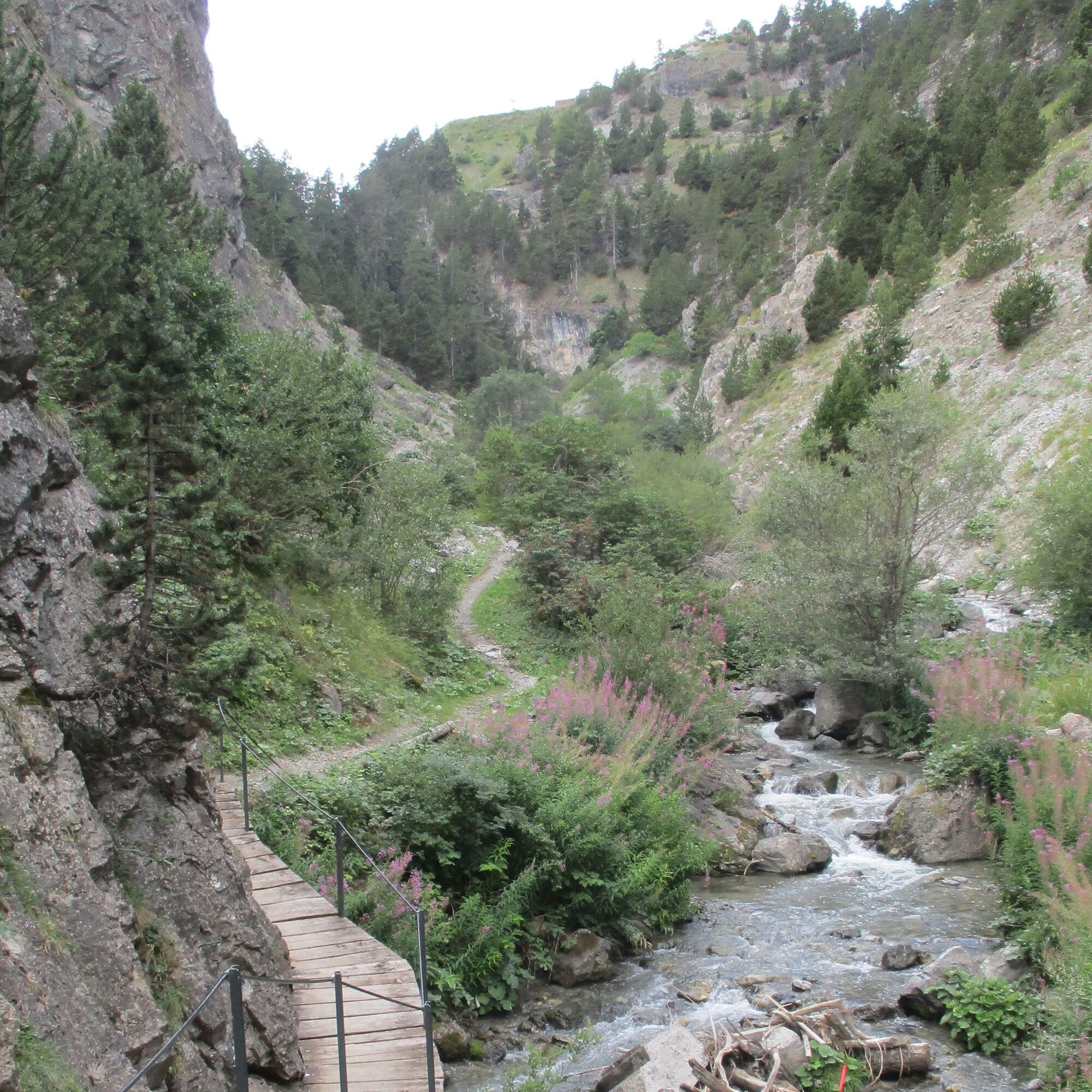

The route begins from the large parking area at about 1,530 m elevation, located near the bridge over the Piccola Dora, at the entrance of the first tunnel on the state road from Cesana Torinese going up towards Claviere/Monginevro. From here, you start to follow the Piccola Dora flowing on the right, traveling a gentle ascent on dirt road among broadleaf trees and willows; after passing a first debris cone, the road gives way to the trail which soon passes beside the first walls equipped for climbing at the Rocca Clarì Crag where you walk on walkways close to the rock and where on the right is the small metal bridge crossing the river. The trail, sometimes stony and at times steeper and more rugged but never difficult, passes near some debris cones until it reaches the start of the via ferrata leading to the summit of Rocca Clarì on the left, as well as other climbing routes. Along the path there are various explanatory panels on flora, fauna, and geological features. After a debris zone, about 1.2 km from the start, at about 1,630 m elevation, you cross the Piccola Dora on a small bridge, then immediately on the right find a trail leading first to the start of the visible suspension bridge above, and then to the San Gervasio chapel, allowing quick access to Claviere. Instead, head left leaving the more open part of the route and entering the gorges. The Piccola Dora forms some bends running close to the rock walls and several walkways continually cross from one side to the other, always underneath the suspension bridge passage; after about 2 km suddenly appears a waterfall flanked by a steep staircase that must be climbed, intersecting the suspension bridge and encountering the Bunker Via Ferrata; continuing to climb some diagonals among many ancient trees, along a staircase offering some panoramic points with spectacular views of the gorges, you reach after about 2.3 km and at about 1,760 m elevation a plateau equipped for a possible picnic stop; crossing it, you can turn right following the track which descends alongside houses on the left, reaching the parking near the ski lifts below the village of Claviere; alternatively, continue straight for about 100 meters and then turn right to reach the same parking.
Áno
Áno
Wear clothing and footwear suitable for the environment and season.
By car from Turin follow signs for the North Ring Road towards Trafori - Frejus.
Take the A32 motorway towards Bardonecchia and exit at Oulx - Monginevro - Sestriere.
Continue on the state road towards Claviere, 2 km from the town of Cesana, before the tunnel, turn left and park the car
Large parking area on the left near the entrance to the first tunnel, going up along the state road from Cesana towards Monginevro
- Before starting any hike, it is advised to check the weather reports or ask for information at local Tourist Offices.
- It is good practice not to start a hike alone and always inform someone about your destination.
- Do not litter but carry your rubbish with you, possibly collecting any left by others.
- The travel times given are indicative and may vary depending on weather conditions and personal abilities.

Webové kamery z prehliadky


Obľúbené výlety v okolí
-
4,7
BARDONECCHIA Col des Acles - Passo della Mulattiera
strednáTuristika 6,23 km -
BARDONECCHIA - Loop Colle della Scala - Col de Montgenèvre - Colle del Sestriere
ťažkéCestný bicykel 91,9 km -
5,0
SESTRIERE Monte Rognosa
ťažkéTuristika 6,42 km -
5,0
La Via dei Saraceni (Sauze d'Oulx)
strednáMountainbike 33,6 km -
CESANA T.SE Lago Nero - Seven Colors Lake
strednáTuristika 3,51 km -
BARDONECCHIA Lago Verde
svetloMountainbike 10,7 km -
5,0
SESTRIERE Brugnetti-Sidoti trail rhododendron loop
svetloTuristika 5,93 km -
5,0
CESANA T.SE Cesana - Fenils
svetloTuristika 4,60 km -
5,0
SAUZE D'OULX Gad (trail no. 9)
svetloTuristika 2,82 km -
5,0
CESANA T.SE Thures - Cima Bosco
ťažkéSnežnice 3,94 km

Turistika a stopovanie


Nenechajte si ujsť ponuky a inšpiráciu na ďalšiu dovolenku
Vaša e-mailová adresa bol pridaný do poštového zoznamu.





