






Claviere - Sagna Longa -Black Lake

Úroveň náročnosti: T2
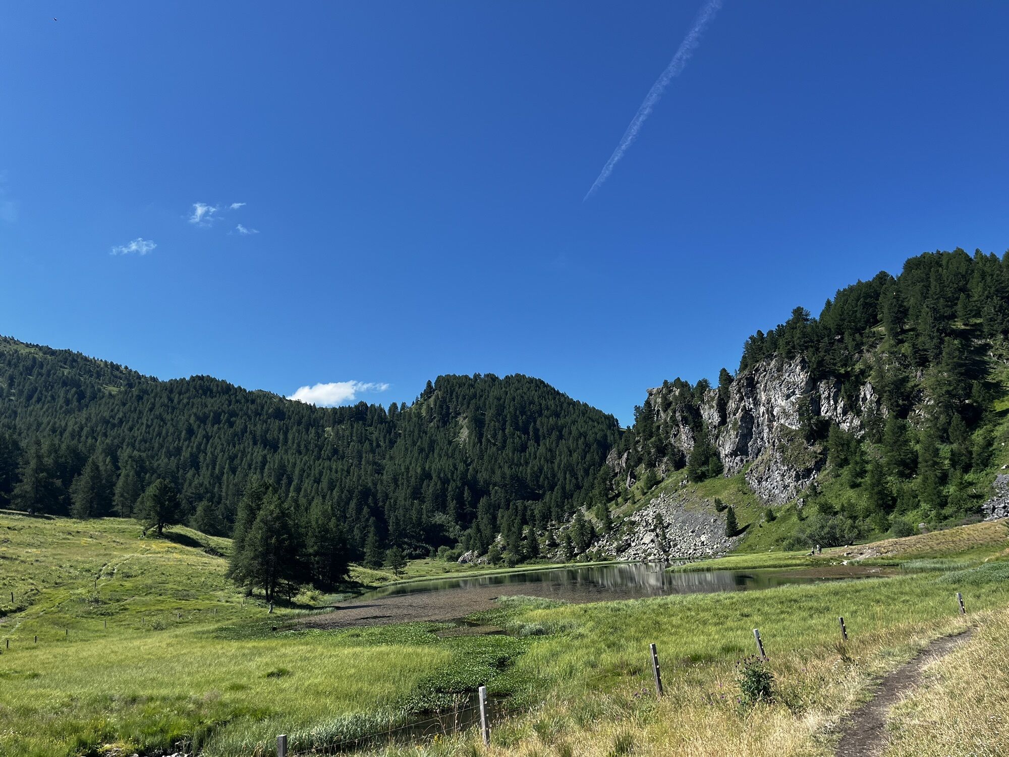
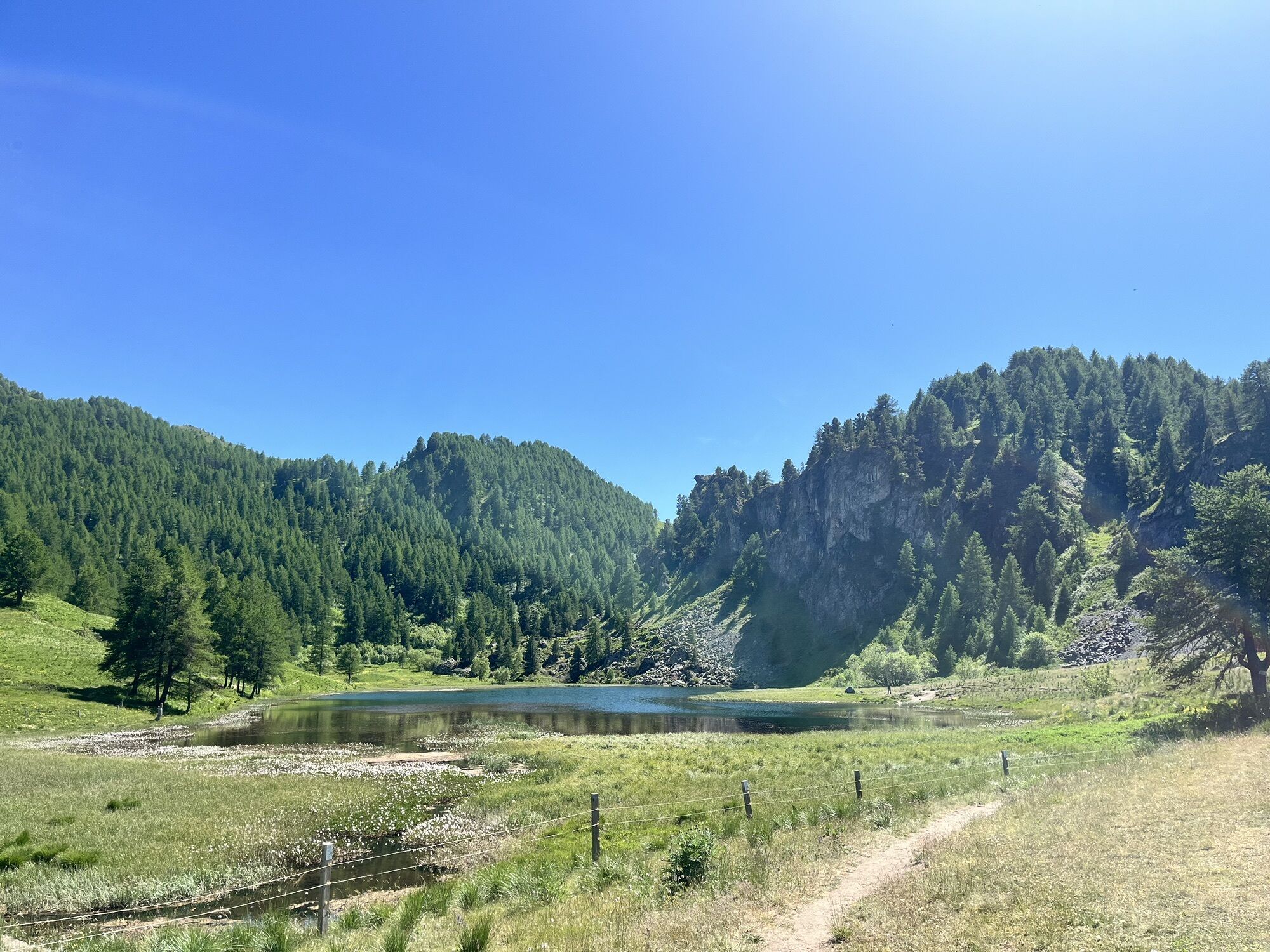
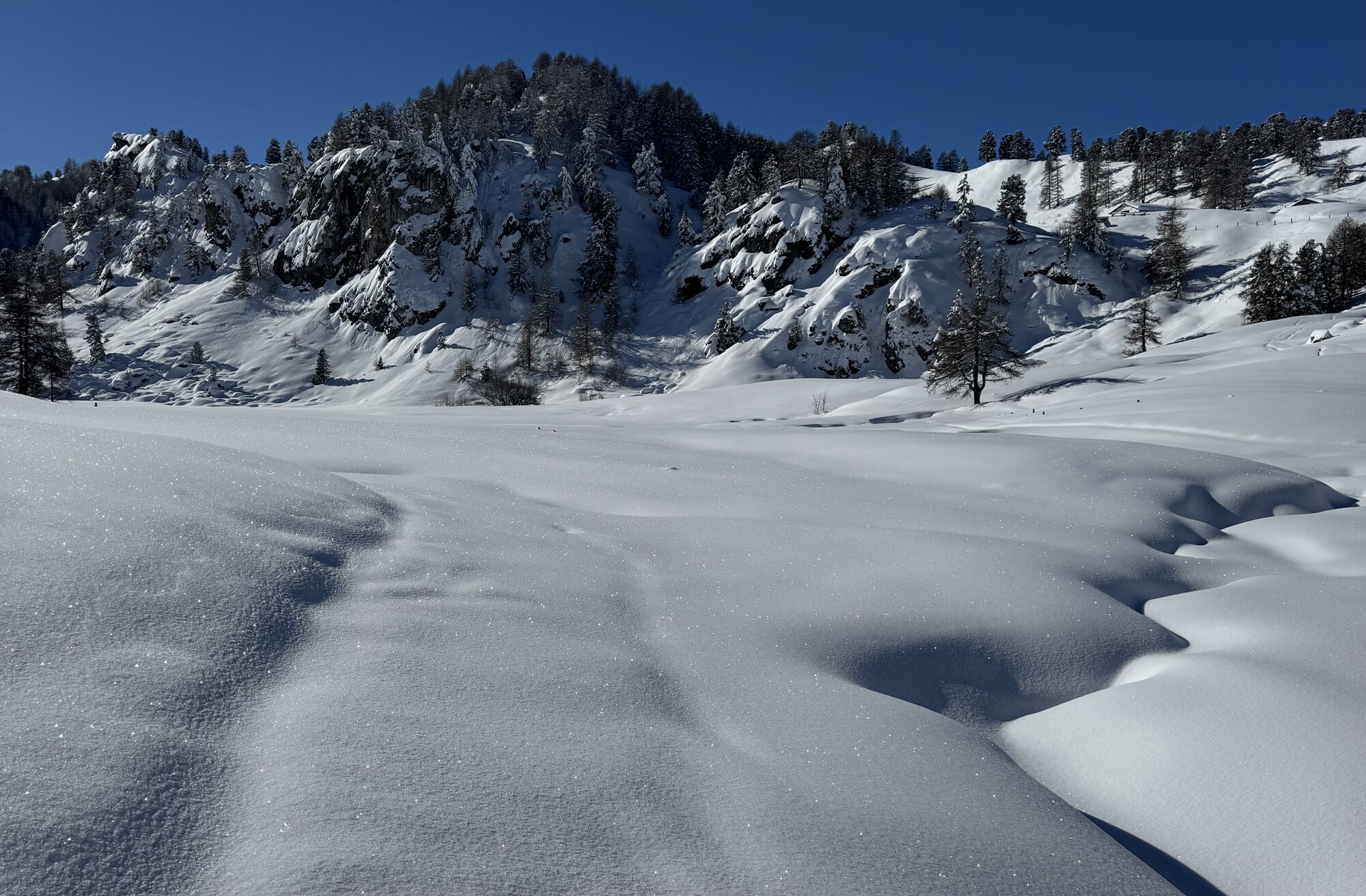
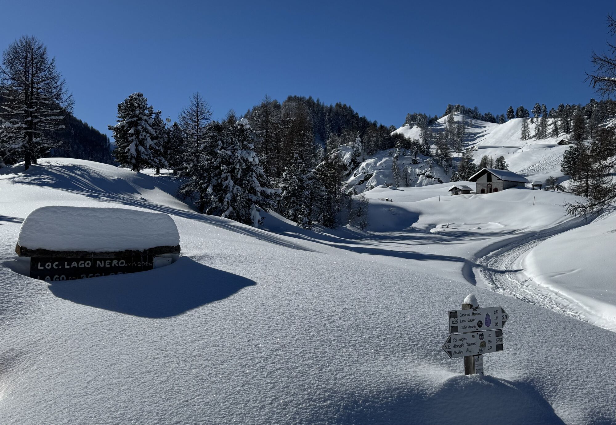
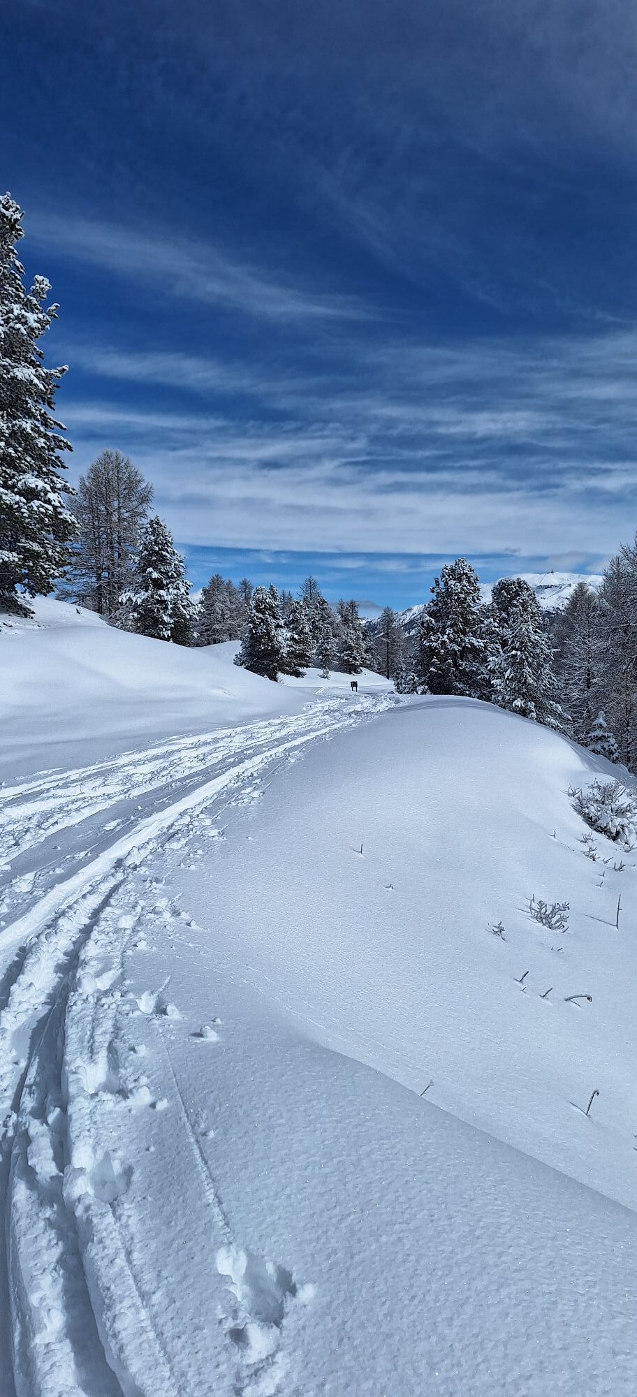
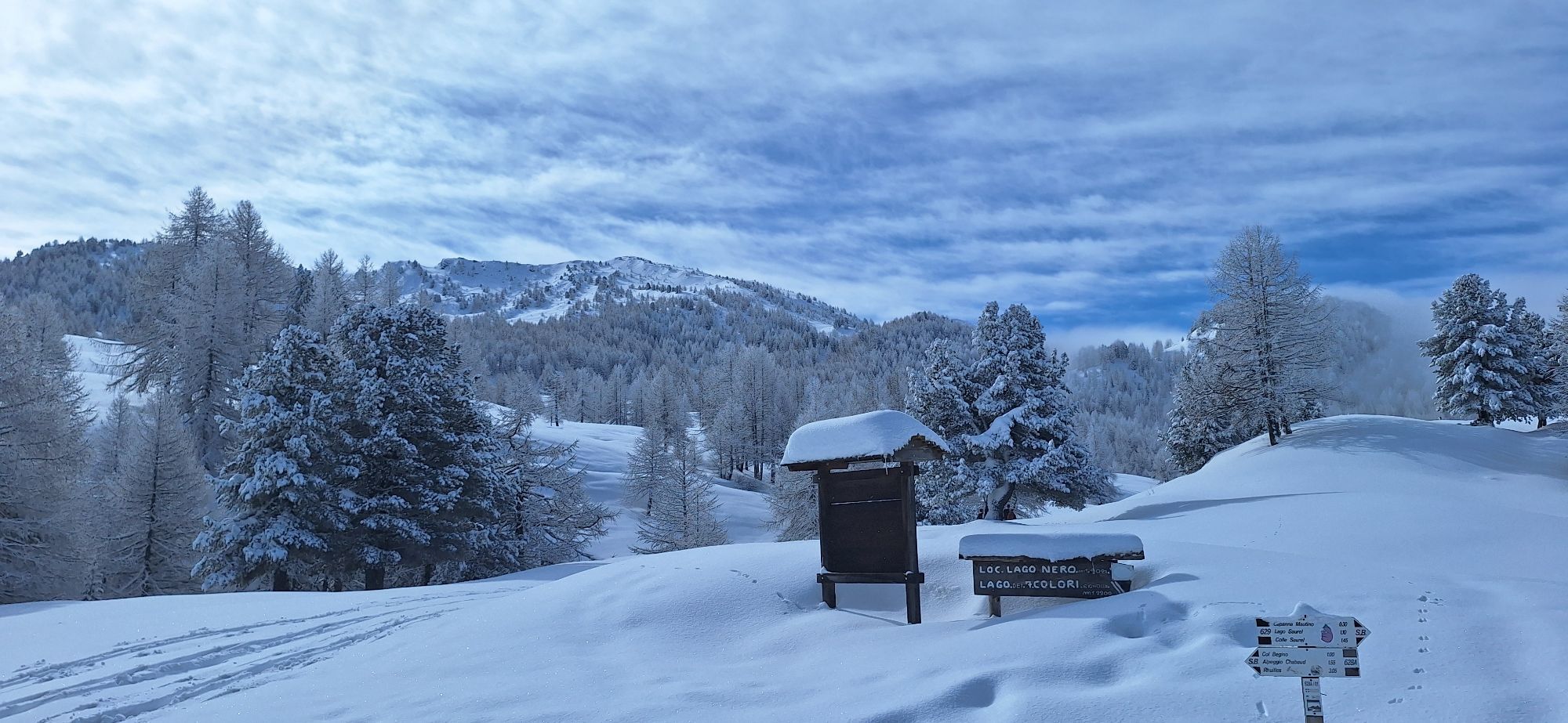
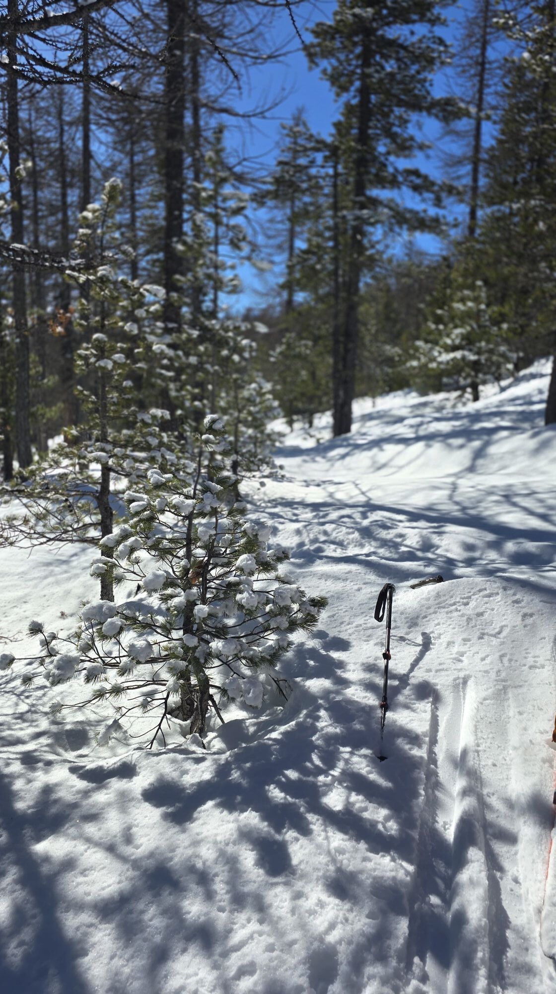
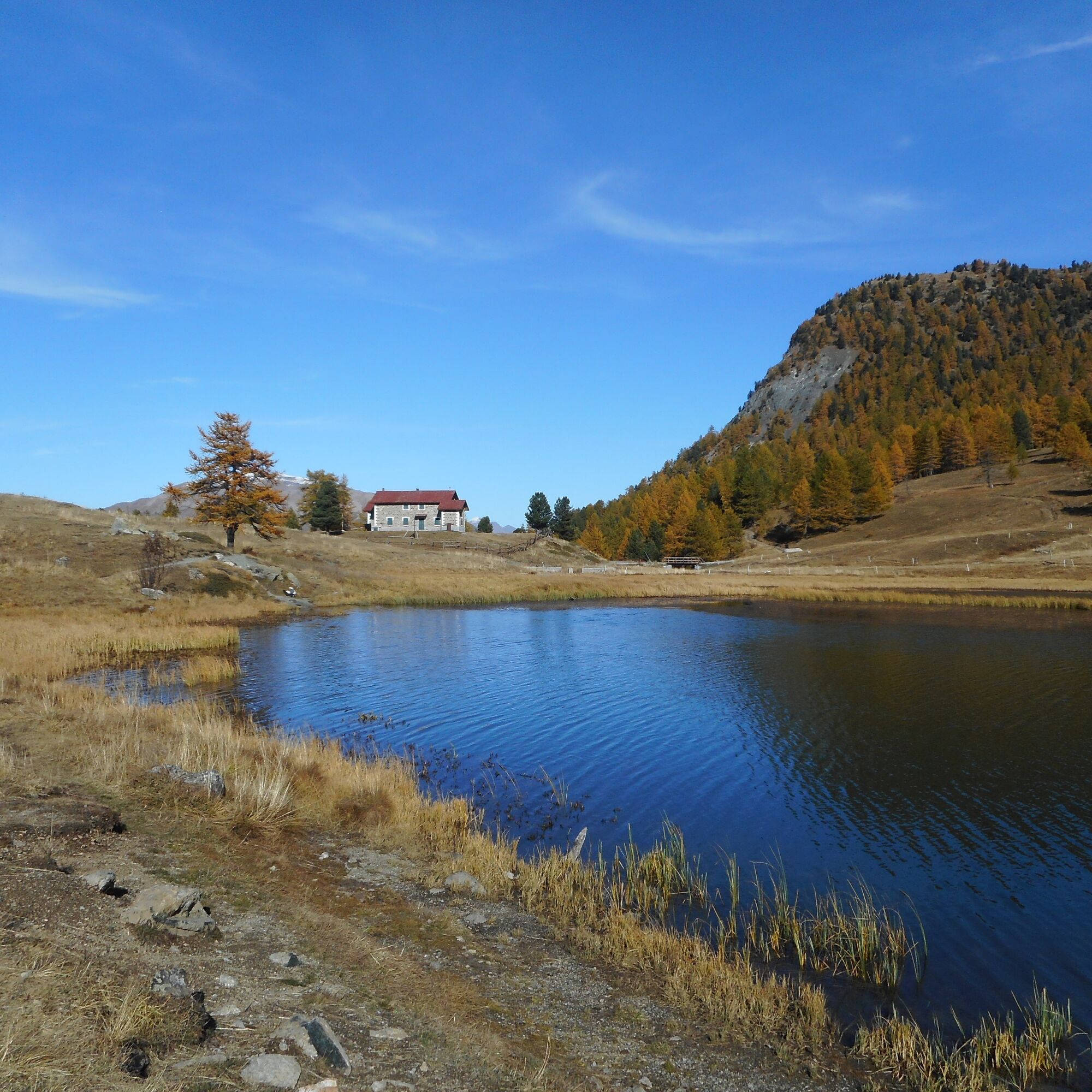
Continue to the loc. Sagna Longa and past the village continue in the direction of Lago Nero on a level path. When you arrive at the lake, you will notice an Alpini hut and a pretty chapel on the shores....
Continue to the loc. Sagna Longa and past the village continue in the direction of Lago Nero on a level path. When you arrive at the lake, you will notice an Alpini hut and a pretty chapel on the shores. From there it is a ten-minute walk back up to Capanna Mautino. There is a beautiful view toward the distinctive Gran Pic de Rochebrune peak, visible over the border ridge.


Áno
Before embarking on any excursion, it is advisable to consult weather reports or ask for information at local Tourism Offices. It is good practice not to undertake a hike alone, always notify your destination.
Do not throw garbage into the environment but take it with you picking up any garbage left by others.
The hiking times given are approximate and may vary depending on weather conditions and your own ability.
From Turin, follow the signs for Tangenziale Nord in the direction of Trafori - Frejus. Take the A32 highway in the direction of Bardonecchia and exit the highway at the Monginevro Sestriere exit. At the tunnel exit, continue to the right in the direction of Cesana, Claviere, Monginevro/France.
Reachable by public transportation
Train from Turin P.N to Bardonecchia (Oulx-Cesana-Claviere-Sestriere stop) + Arriva bus line 285 from Oulx to Calviere
Parking along the provincial road near the Church of the Visitation of Mary, or near the start of the "Col Boeuf" lift; alternatively, at the Tibetan Bridge ticket office.
T2
Webové kamery z prehliadky

Obľúbené výlety v okolí
-
GR®58 Tour du Queyras
strednáTuristika 114,0 km -
4,7
BARDONECCHIA Col des Acles - Passo della Mulattiera
strednáTuristika 6,23 km -
BARDONECCHIA - Loop Colle della Scala - Col de Montgenèvre - Colle del Sestriere
ťažkéCestný bicykel 91,9 km -
5,0
SESTRIERE Monte Rognosa
ťažkéTuristika 6,42 km -
5,0
La Via dei Saraceni (Sauze d'Oulx)
strednáMountainbike 33,6 km -
CESANA T.SE Lago Nero - Seven Colors Lake
strednáTuristika 3,51 km -
5,0
SESTRIERE Brugnetti-Sidoti trail rhododendron loop
svetloTuristika 5,93 km -
5,0
CESANA T.SE Cesana - Fenils
svetloTuristika 4,60 km -
5,0
SAUZE D'OULX Gad (trail no. 9)
svetloTuristika 2,82 km -
5,0
CESANA T.SE Thures - Cima Bosco
ťažkéSnežnice 3,94 km

Turistika a stopovanie


Nenechajte si ujsť ponuky a inšpiráciu na ďalšiu dovolenku
Vaša e-mailová adresa bol pridaný do poštového zoznamu.





