






SAUZE D'OULX ring Tachier - Sportinia
Úroveň náročnosti: T2
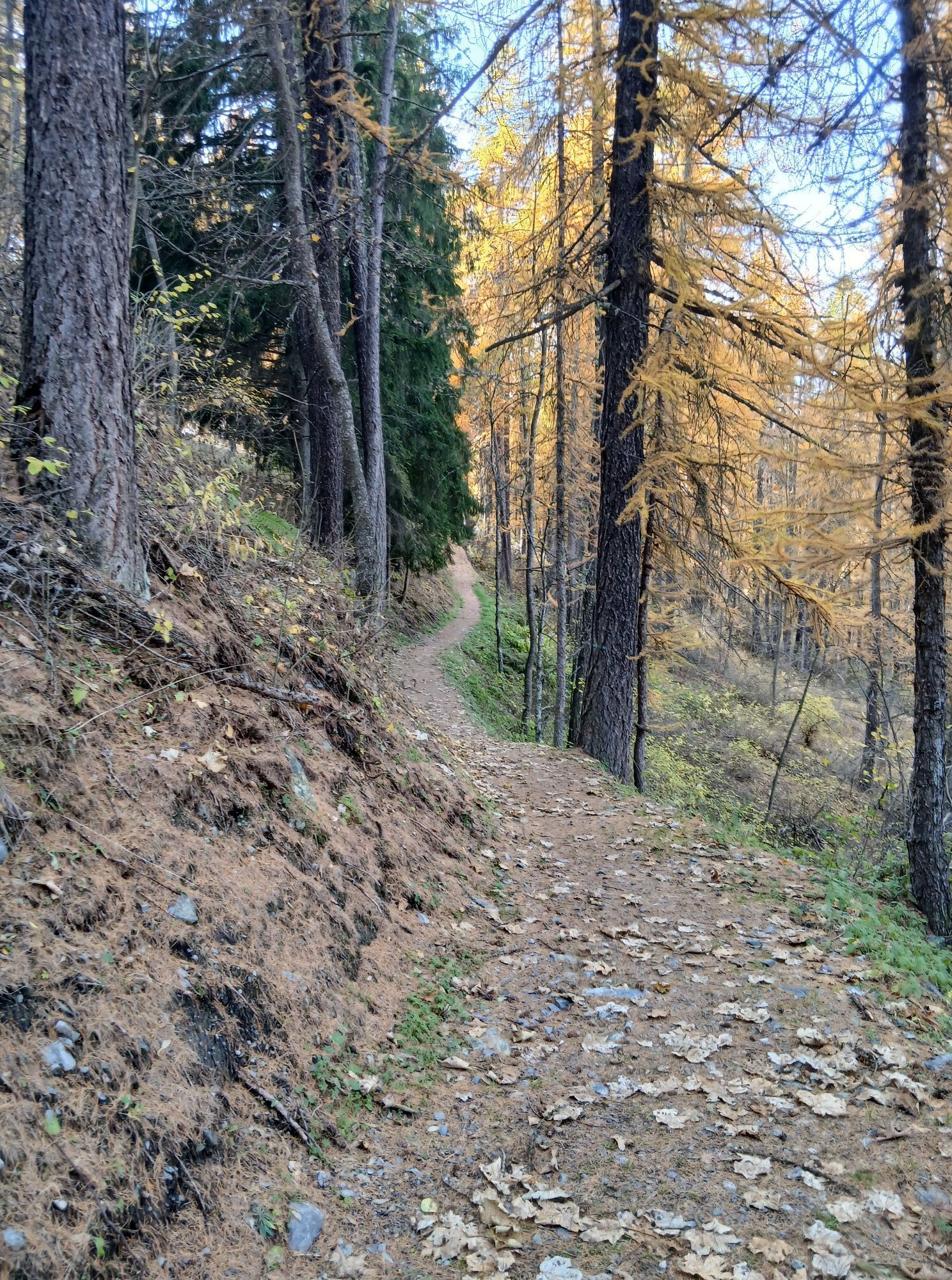
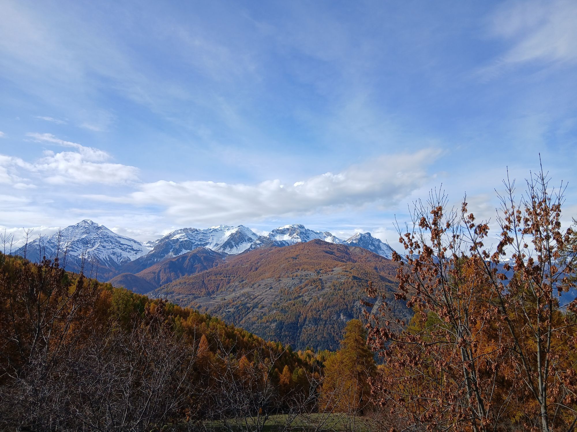
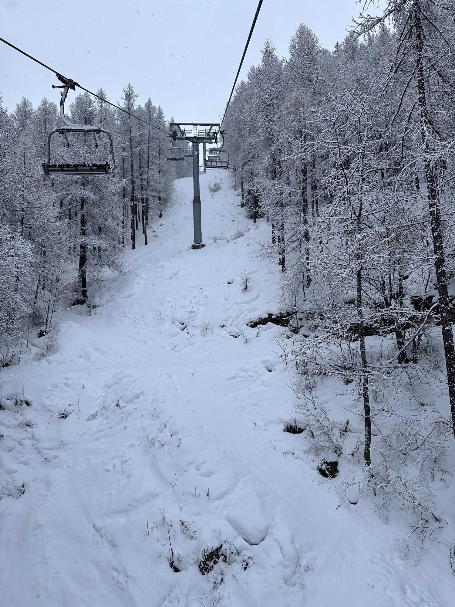
This loop trail is easy in the first section, but becomes more challenging in the central uphill section and the subsequent downhill return.
Trail No. 11, up to the Tachier locality, is an easy single...
Trail No. 11, up to the Tachier locality, is an easy single track in the woods and is one of the easiest and most popular trails in Sauze d'Oulx. In this first part the terrain is flat and smooth.
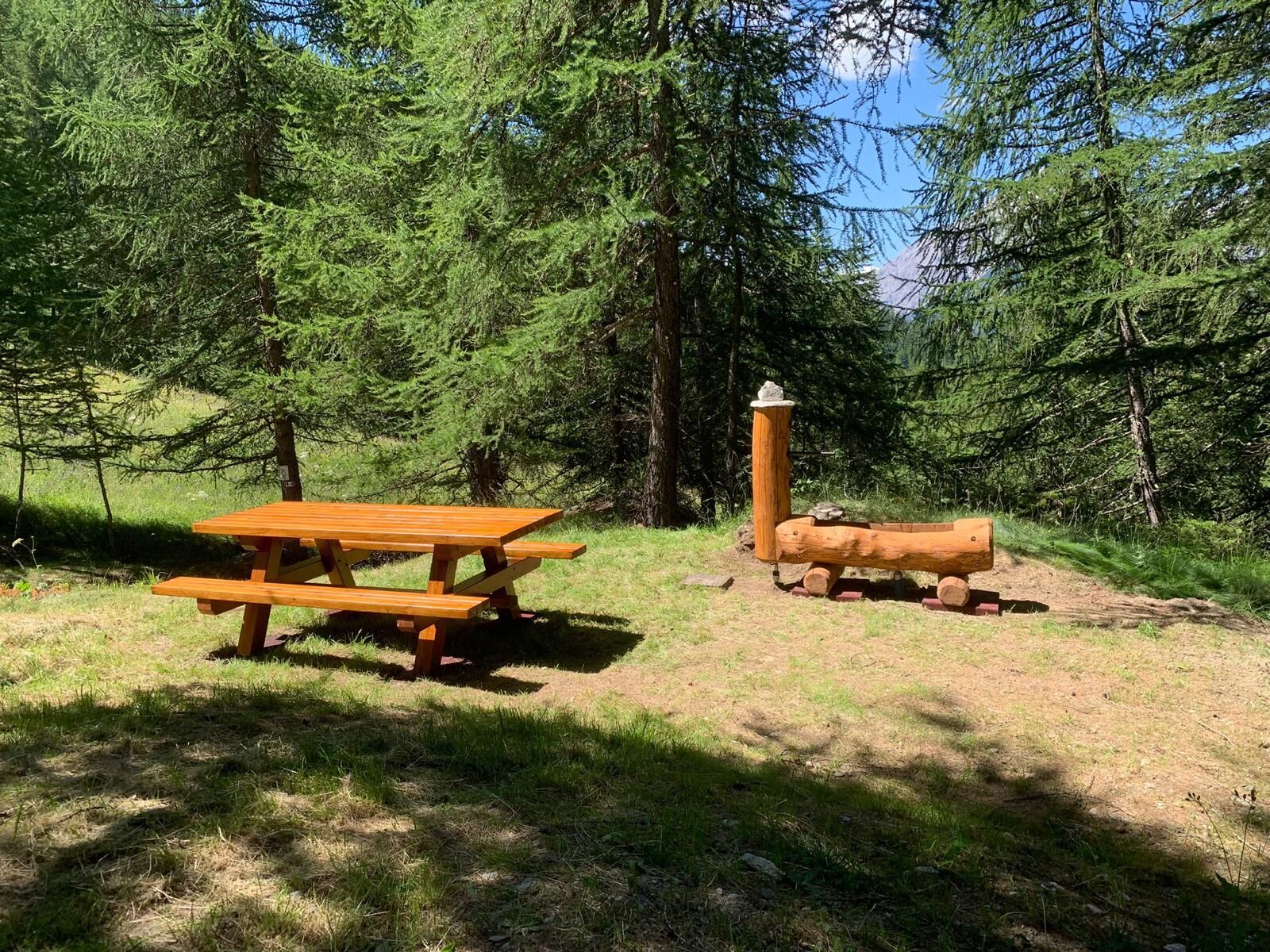
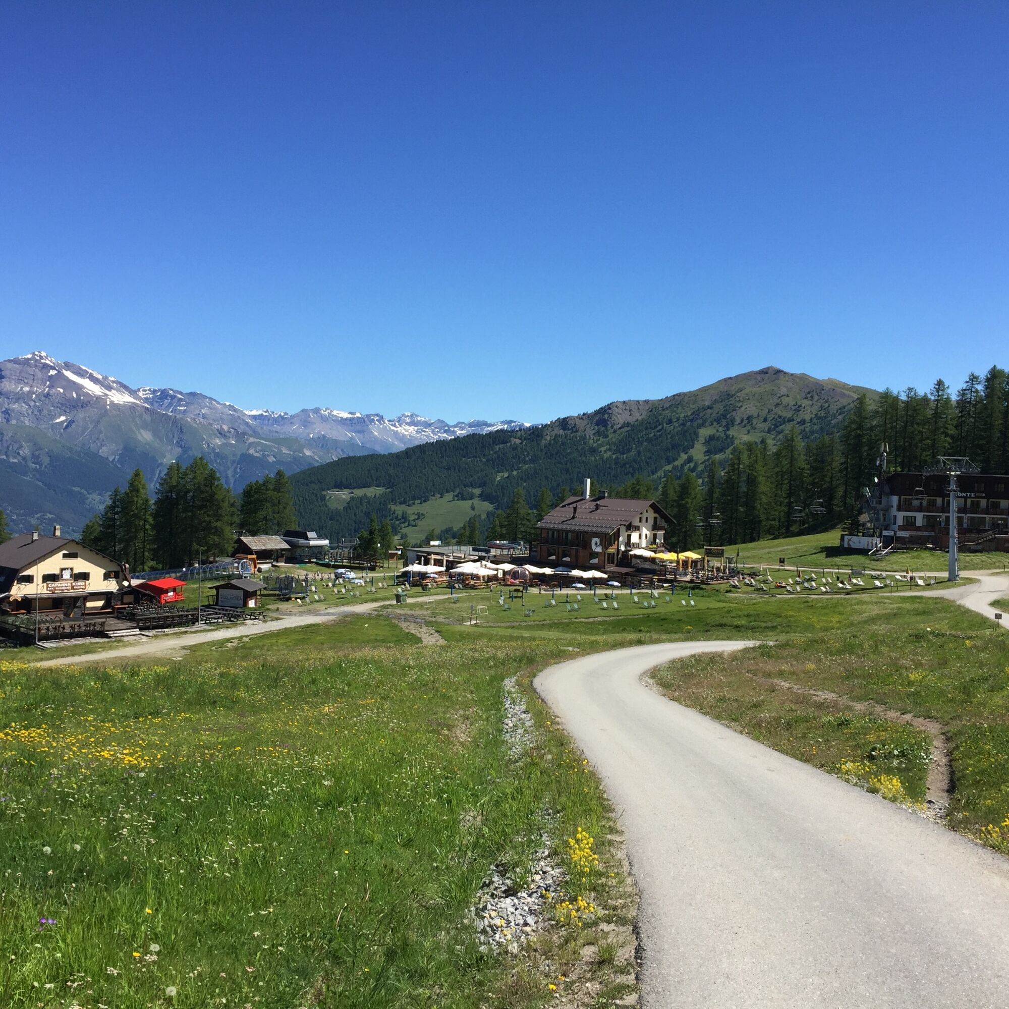
From Tachier onward the trail becomes progressively more challenging, with a climb that leads first to Sarnas and then to Sportinia. However, the trail is well marked and, despite the steeper incline, the presence of benches and picnic areas-one of which also has a fountain-allow for restorative stops along the way.
The hike takes place within a cool coniferous forest, featuring undergrowth rich in floral species, making the walk particularly pleasant.
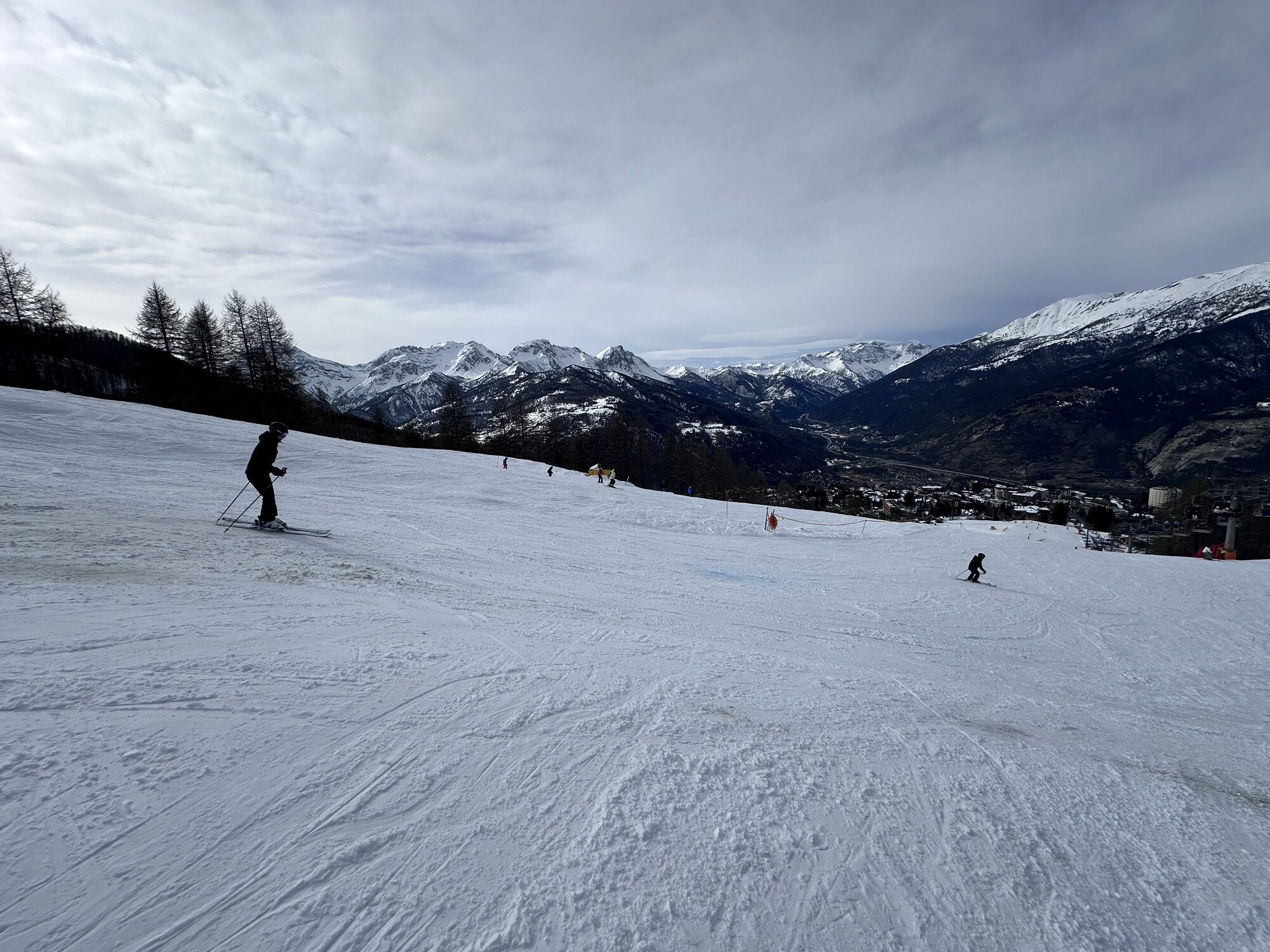
Once Sportinia is reached, the loop trail returns toward the starting point by following ski slope No. 11 (trail No. 10), which has a steep descent. After passing the locality Clotes and after a photo stop at the giant chair, continue along the slope until returning to Sauze d'Oulx and then to the starting point.
Support and technical description by Barbara Demonte - Environmental hiking guide.

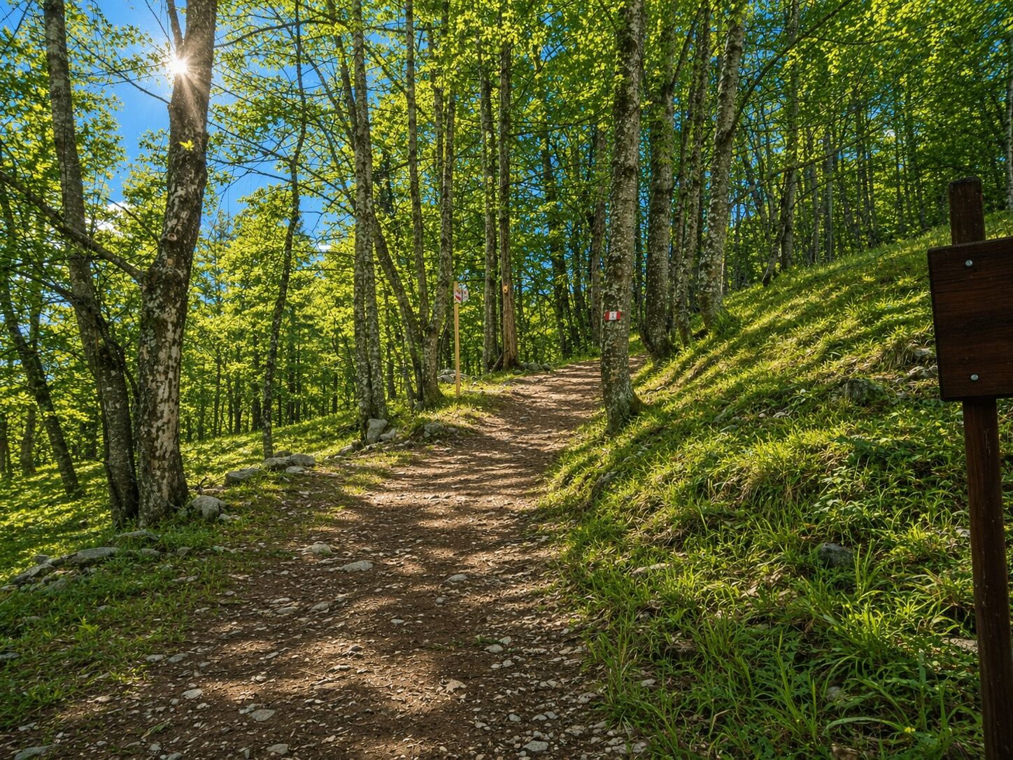
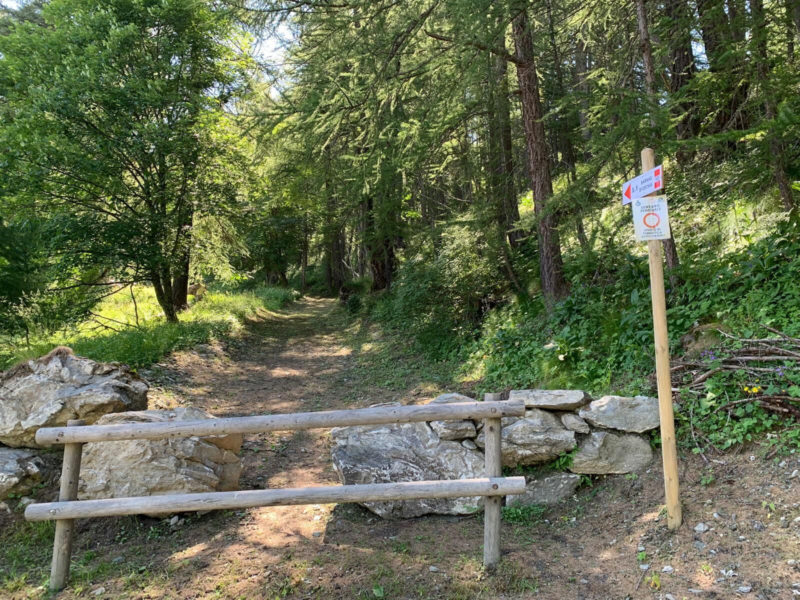
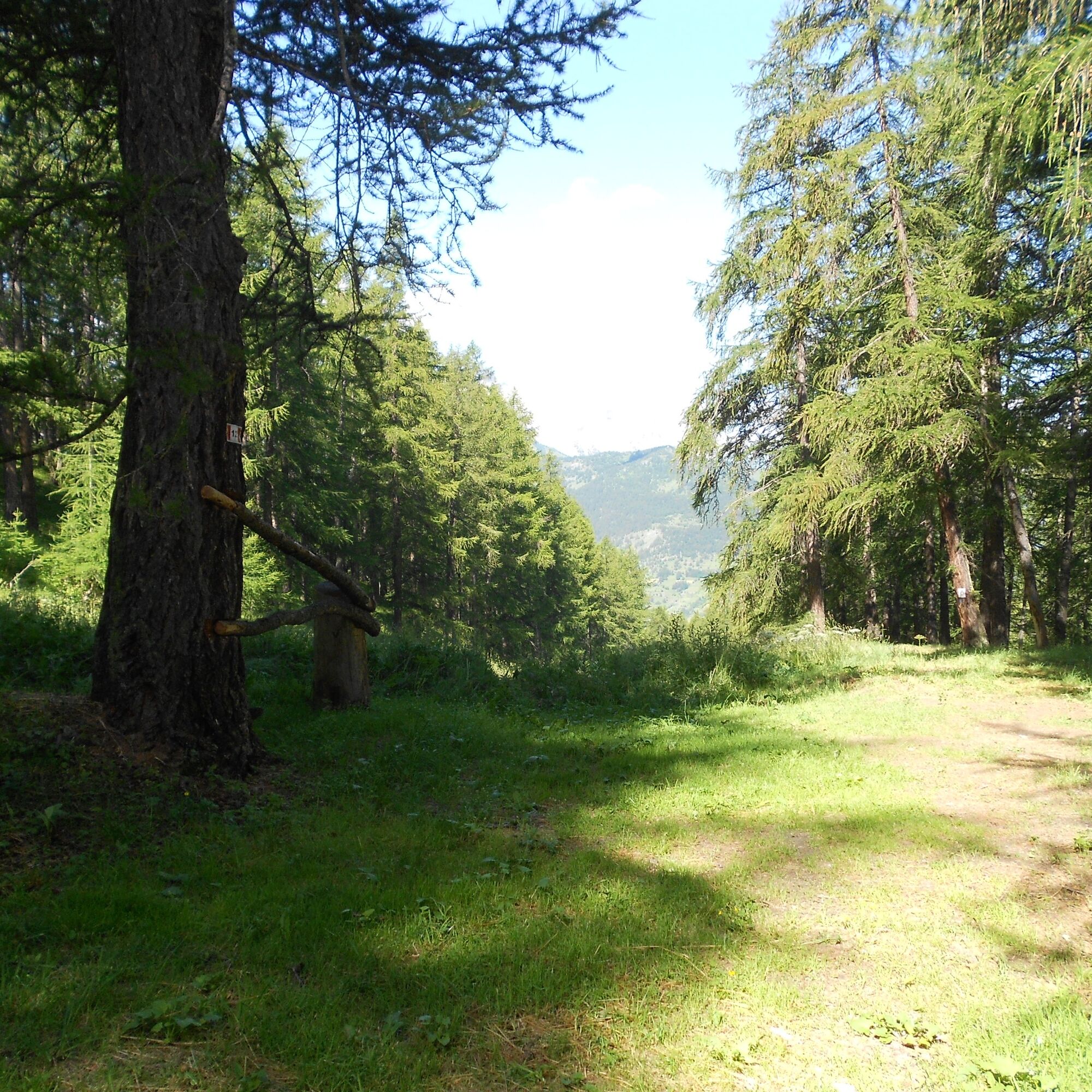

Pass by the Grange Tachier Restaurant and cross the entire hamlet uphill towards Malafosse Alta. The trail begins just beyond the last house on the left, at a fence with retaining stones indicating the Sarnas-Sportinia pedestrian-only path. The mule track immediately enters the coniferous forest with a considerable slope, alternating straight and serpentine stretches; it passes near a bench (there are several along the way) and a rock wall that manifests the schistose nature of the rocks in the area.
At an altitude of about 1780 m, a small shelf equipped with a picnic area is reached. Still climbing steeply and skirting the ski slope, old dry stone walls can be seen in places; at an altitude of about m 1830 there is another picnic area equipped with a fountain. Continue to climb for a stretch on a mule track; after that, it is necessary to walk along a short section of the ski slope until at a fence located at an altitude of m 1900, which indicates the resumption of the mule track to the left. Cross the small stream and you reach the locality Sarnas, just above the restaurant "Cicci's"; towards the right walk a short section of ski slope, and then leave it turning left towards the cannon for artificial snow, at the crossing of the downhill/bike park path, where care must be taken.
Walk for a stretch just below the Sarnas-Sportinia chairlift, then turn left crossing a small stream and cross again, at elevation m 2015, another downhill/bike park trail. Abandon the wide track of the old mule track, following the well-marked path to the right that enters the dense forest again; after a few serpentines (there is also a cut that rejoins), the forest begins to open up and you finally reach Sportinia, passing to the right of the baby mat.
Upon reaching the plateau, head toward the arrival of the Sportinia chairlift and the start of the Rocce Nere chairlift. Take a left onto the ski slope that starts right between the two chairlifts (trail No. 10 / ski slope No. 11) and follow it steeply downhill until you reach the hamlet of Clotes. Follow the paved road coming from Ciao Pais until you reach the Giant Chairlift. At this point you can choose whether to continue, still steeply downhill along the Clotes slope (trail No. 10), or more easily descend along the paved road back to the village.
Wear appropriate clothing and footwear for the environment and season.
The Municipality of Sauze d'Oulx provides maintenance only for the sections of trail falling within its territory.
From Turin to follow the signs for Tangenziale Nord in the direction of Trafori - Frejus. Then take the A32 freeway in the direction of Bardonecchia and exit the freeway at the Oulx ring road sign, in the direction of Monginevro Sestriere. At the tunnel exit, continue to the left in the direction of Sauze d'Oulx.
Train from Turin P.N to Bardonecchia (Oulx-Cesana-Claviere-Sestriere stop.
Bus Arriva line 285 from Oulx to Sauze d'Oulx
Sauze d'Oulx - Piazzale Miramonti or lower Prariond parking lot
T2
Do not throw garbage into the environment but take it with you picking up any garbage left by others.
The hiking times given are approximate and may vary depending on weather conditions and your own ability.
Fountains in Jouvenceaux.
Possibility to enjoy typical dishes at the Grange Tachier restaurant at the hamlet of the same name.
Webové kamery z prehliadky
Získajte prehľad
Vždy naživo na mieste s viac ako 9 500 webovými kamerami. bergfex Ako používateľ Pro si teraz môžete pozrieť príslušné webové kamery pre mnohé zájazdy v aplikácii zájazdy z. Môžete si tak priamo prezerať aktuálne podmienky.
Obľúbené výlety v okolí
-
5,0
BARDONECCHIA Forte Jafferau Loop
ťažkéMountainbike 36,8 km -
5,0
BARDONECCHIA Decauville
strednáTuristika 7,29 km -
5,0
BARDONECCHIA Col des Acles - Passo della Mulattiera
strednáTuristika 6,23 km -
BARDONECCHIA - Loop Colle della Scala - Col de Montgenèvre - Colle del Sestriere
ťažkéCestný bicykel 91,9 km -
5,0
SESTRIERE Monte Rognosa
ťažkéTuristika 6,42 km -
BARDONECCHIA Monte Jafferau
ťažkéTuristika 11,6 km -
3,5
BARDONECCHIA Sentiero dei Cosetti by Luciano Ferraris
svetloTuristika 3,24 km -
CESANA T.SE Lago Nero - Seven Colors Lake
strednáTuristika 3,51 km -
SAUZE D'OULX Richardette - Montagne Seu )
strednáMountainbike 19,9 km -
5,0
CESANA T.SE Cesana - Fenils
svetloTuristika 4,60 km
Turistika a stopovanie


Nenechajte si ujsť ponuky a inšpiráciu na ďalšiu dovolenku
Vaša e-mailová adresa bol pridaný do poštového zoznamu.





