







FFC MTB route no. 8: Saint-Antoine de Padoue
All outdoor activities in the Nice Côte d'Azur Metropolis are on https://outdoor.nicecotedazur.org

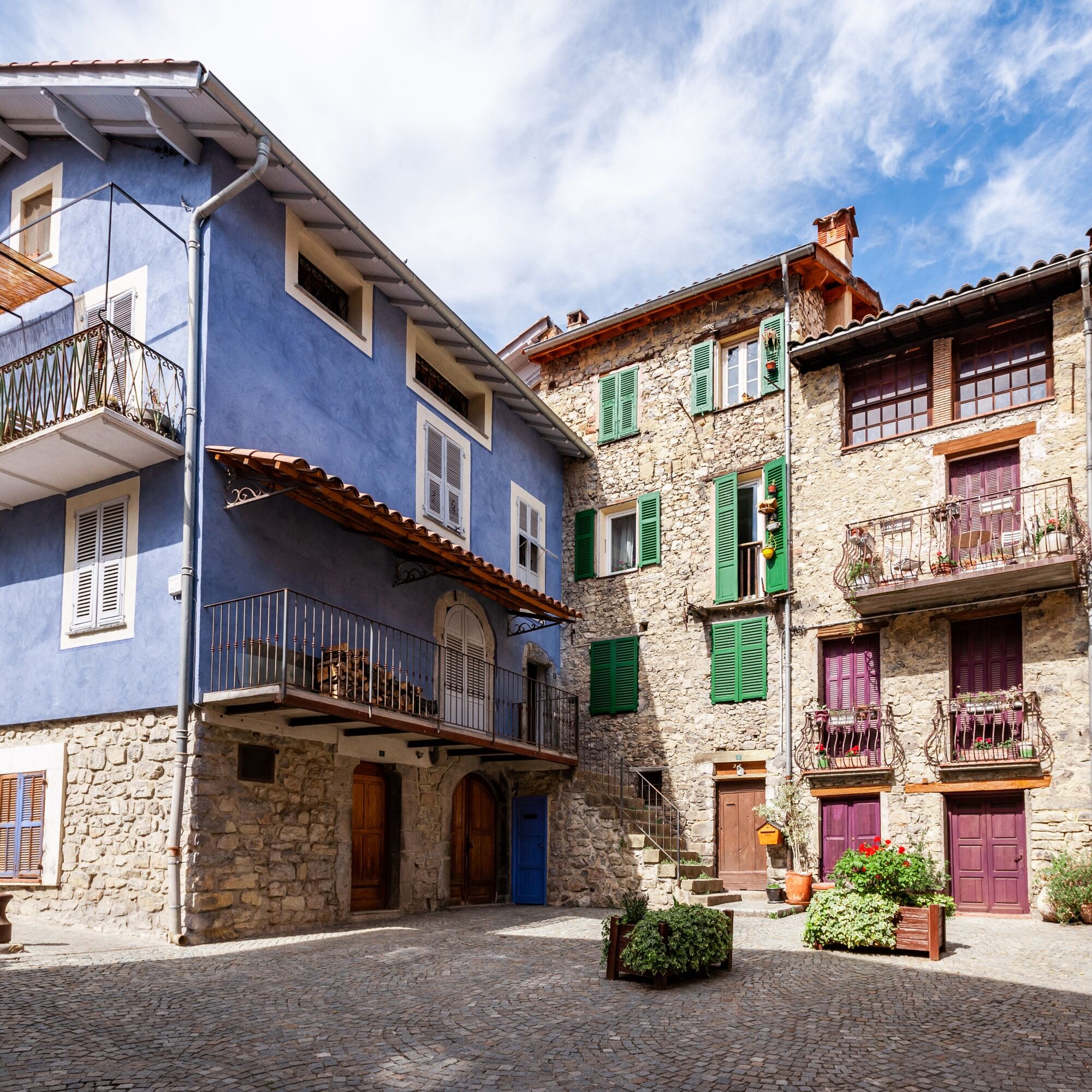
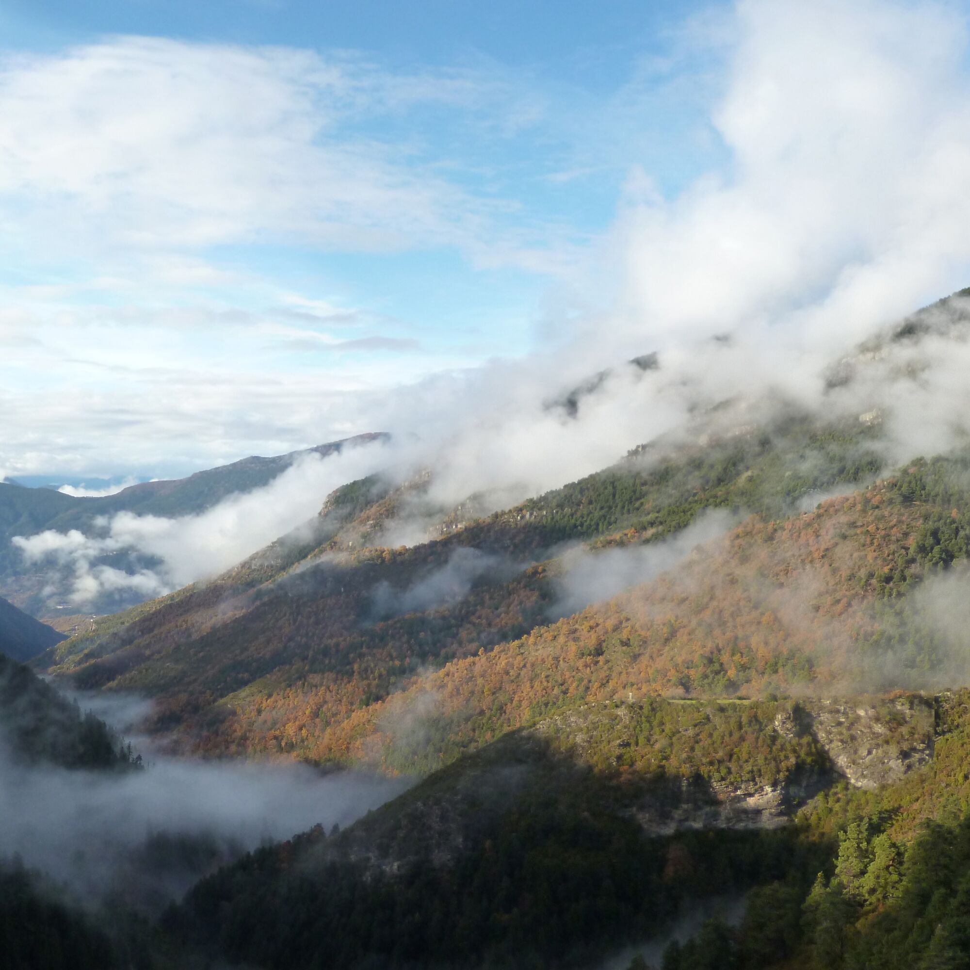
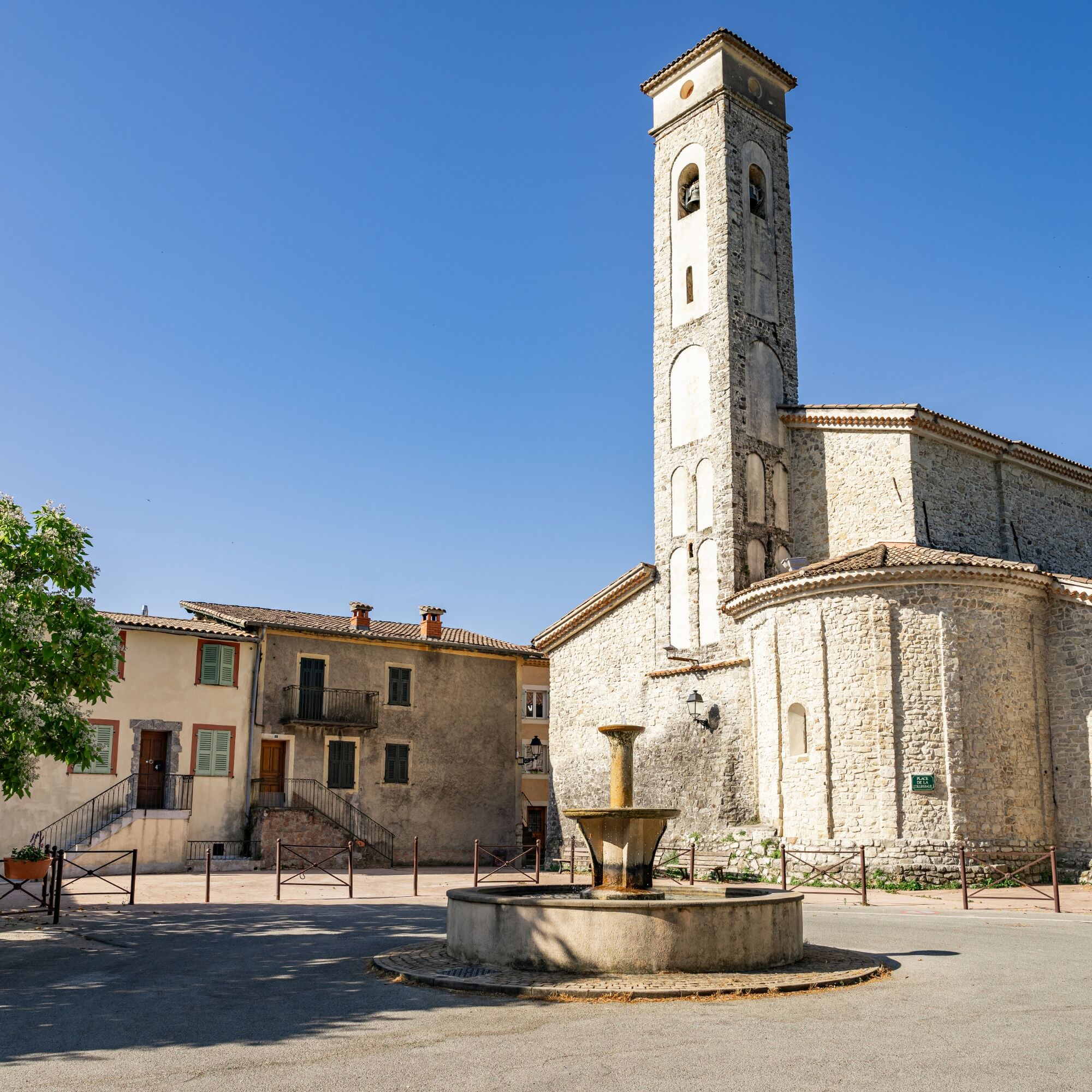
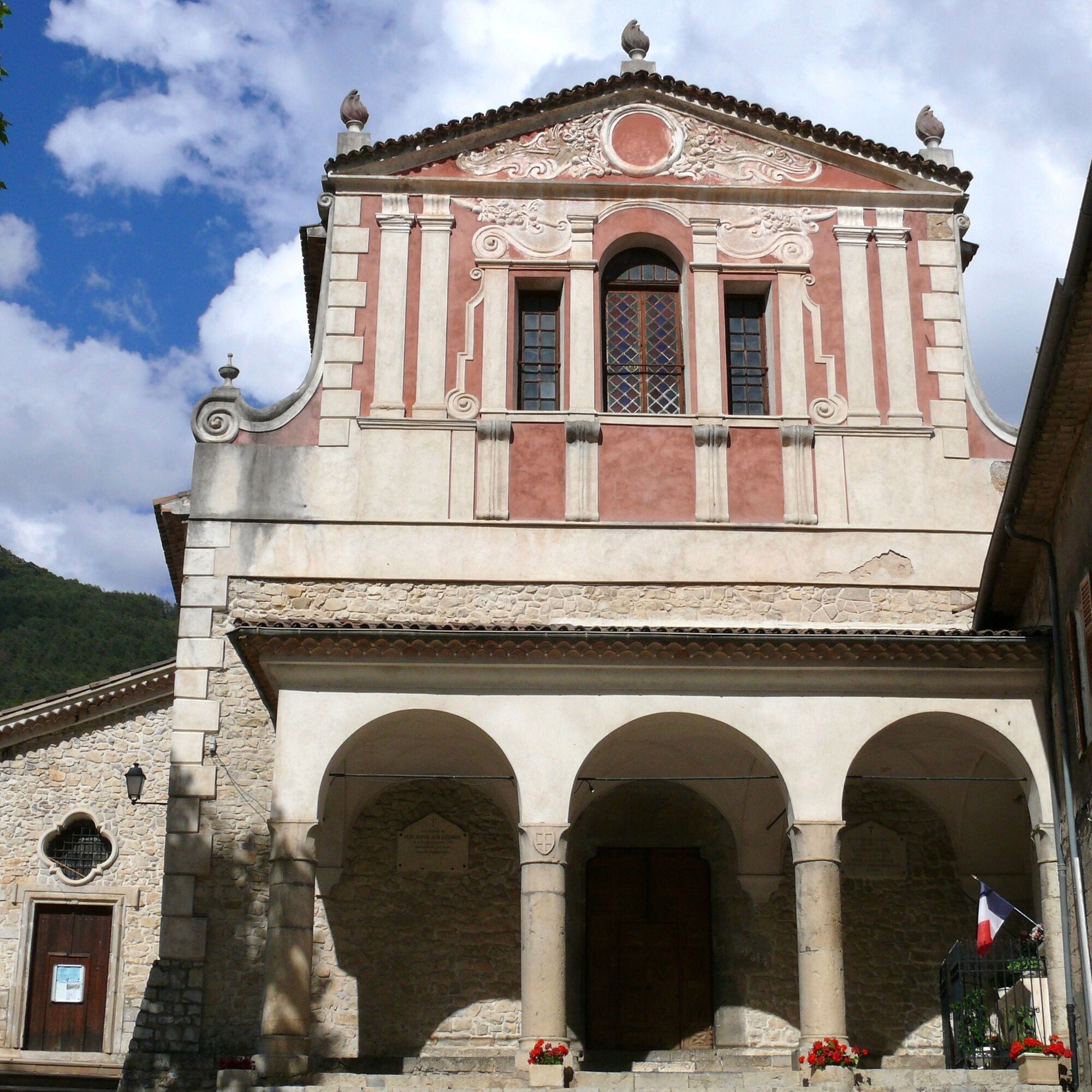

Start from the parking on avenue Gaspard Gojon and head towards Pont de Clans on road M55. Leave the road at the first hairpin and follow the markings that lead to the plains road. At the first intersection, turn left, then at the second, take the small road on the right towards the Monar valley and the Roman bridge. The road becomes a rideable track that leads to the chapel of Padoue. Return by the same route.
Áno
Wear a helmet, bring protective gear and repair accessories.
Watch the weather: Mountain weather changes quickly, bring warm clothes.
Follow marked trails, do not take shortcuts and respect the direction of the routes.
Before starting a route, make sure it suits your level, check your mountain bike’s condition and leave your planned route with someone.
Be careful, courteous, and slow down when passing other users.
Be extra cautious during hunting season and check on current hunting drives.
If you encounter livestock guardian dogs (= patous), get off your bike, avoid sudden movements, and go around the herd.
Respect private property, cultivated areas, and close gates after passing.
Adopt eco-friendly behavior: carry out your waste and respect the wildlife and flora to preserve nature.
Always be sure to carry the IGN map corresponding to the route concerned.
The Lignes d’azur network offers a single fare across the Nice Côte d’Azur Metropolis. Validation is mandatory each time you board the bus regardless of the ticket used. To see all fares, click here: www.lignesdazur.com
Free parking
Obľúbené výlety v okolí
-
The Salt Roads: The Pagarine Route
strednádiaľková pešia trasa 159,7 km -
5,0
FFC cycling circuit No. 32: The loop of the 2 valleys from St. Sauveur/Tinée
ťažkéCestný bicykel 117,8 km -
FFC cycling circuit no. 30: the loop of the Col de la Couillole
ťažkéCestný bicykel 70,8 km -
Roquebillière - Saint-Martin-Vésubie / Pagarine route (stage 5)
ťažkéTuristika 18,3 km -
Utelle - Roquebillière / Pagarine route (stage 4)
strednáTuristika 20,0 km -
Mountain bike circuit FFC no. 21a: Les granges de la Brasque
ťažkéMountainbike 41,2 km -
Mountain bike FFC circuit no. 5: Le Gabre
strednáMountainbike 4,91 km -
Auron - Nice gravel route
ťažkéDiaľková cyklotrasa 364,4 km -
Mountain bike FFC circuit no. 53: The Madeleine Pass - La Colmiane
ťažkéMountainbike 18,8 km -
FFC mountain bike route no. 11: The pointe de la Penna
strednáMountainbike 11,1 km
Turistika a stopovanie


Nenechajte si ujsť ponuky a inšpiráciu na ďalšiu dovolenku
Vaša e-mailová adresa bol pridaný do poštového zoznamu.





