







Climb of the col d'Eze

Úroveň náročnosti: 3
Starting almost from the city center, Saint-Roch district in Nice (Altitude 17 m), the slopes of the Col d’Eze quickly gain height to finish the climb at an altitude of 507 m.
And it is here, on a parking...
Starting almost from the city center, Saint-Roch district in Nice (Altitude 17 m), the slopes of the Col d’Eze quickly gain height to finish the climb at an altitude of 507 m.
And it is here, on a parking lot located next to the Auberge de l’Hermitage at the level of a sculpture recalling the passage of the Tour de France in 2020, that the finish line is located.
Raymond Poulidor, Sean Kelly who won Paris-Nice seven years in a row from 1982 to 1988, Bradley Wiggins and more recently Richie Porte have marked this climb, often raced against the clock.
Bradley Wiggins set a record time in 2012 of 19 minutes 12 seconds
All outdoor activities of the Nice Côte d'Azur Metropolis are on https://outdoor.nicecotedazur.org

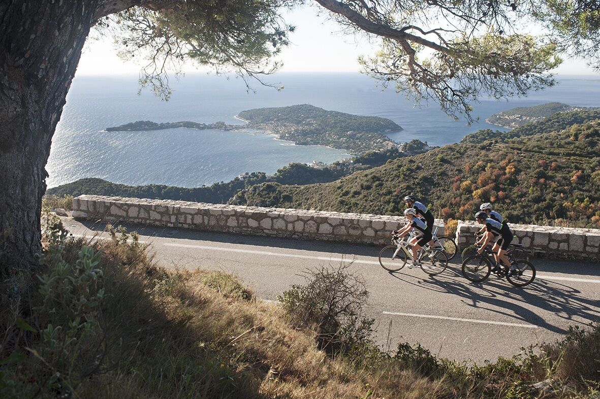
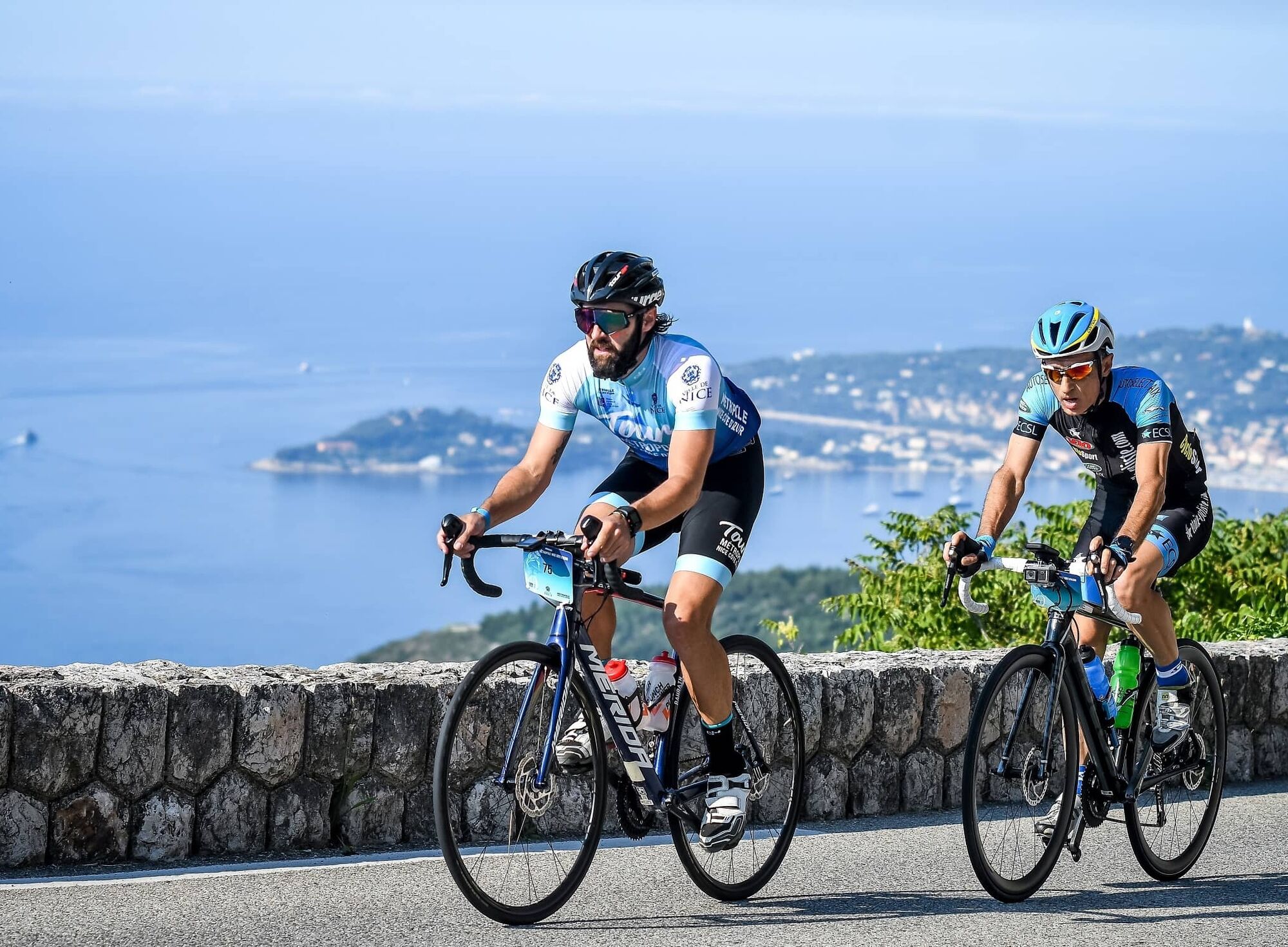

From boulevard Bischoffsheim, follow RM 2564 to the summit.
Some quite steep sections at the start at 8%.
500 m after the Chapel, a short flat section allows a breather and to tackle 1 km at 5%;
A 1 km false flat with a positive elevation of 2.5% leads us to the col des Quatre chemins on the Villefranche municipality.
From there, the road climbs to nearly 7%, at the place called le Grand Pins, much feared by cyclists.
At km 8, one can say the ascent is finished.
2 km remain to be done, without elevation with even in the last 500 m a descending false flat
-Wear an approved helmet
-Check the condition of your tires
-Take a repair kit in case of a puncture
-Prefer at least a flashing LED light to attach to the seat post to be seen by motorists
BASIC RULES
Choose a climb suitable for your physical condition, do not overestimate your abilities
Check mountain weather and pass openings before leaving
Remember to carry an ID and an emergency contact number
Respect the environment
Control your speed on the descent
Nice and its Metropolis is served by the A8 motorway “La Provençale”, coming from Aix-en-Provence to the West and from the border to the East.
To reach the city center, five exits have been arranged to go directly to the district of your choice:
Exit no. 50: Promenade des Anglais
Exit no. 51: Saint-Augustin / airport
Exit no. 52: Saint-Isidore
Exit no. 54: Nice north
Favor exit no. 55: Nice east to reach the start more quickly
Find bus lines on: https://www.lignesdazur.com
To park near the start, use the Free Saint-Jean d’Angély Parking, located on avenue des Diables bleus.
3
Webové kamery z prehliadky

Obľúbené výlety v okolí
-
4,8
Tour du Cap-Ferrat
strednáTuristika 8,99 km -
4,0
Chemin de Nietzsche
svetloTuristika 3,73 km -
5,0
Little hike at Eze: Fort de la Revère Circuit
svetloTuristika 6,02 km -
Little hike in Nice: the Mont Boron route
svetloTuristika 5,13 km -
Grande Randonnée® de Pays: Lou Camin Nissart
ťažkédiaľková pešia trasa 44,7 km -
Nice - Aspremont / Pagarine Route (stage 1)
strednáTuristika 15,8 km -
4,0
Little hike in Aspremont: Mont Chauve circuit
svetloTuristika 6,49 km -
5,0
Goldtoni - Alpenbogen A082 Drap-Nizza
svetlodiaľková pešia trasa 26,4 km -
A short walk in Saint-Jeannet : Les Baous de la Gaude and St-Jeannet
strednáTuristika 12,2 km -
4,7
Èze-sur-Mer - Mont Bastide - Èze - Èze-Bord-de-Mer
strednáTuristika 7,60 km
Turistika a stopovanie


Nenechajte si ujsť ponuky a inšpiráciu na ďalšiu dovolenku
Vaša e-mailová adresa bol pridaný do poštového zoznamu.





