






Itinérance No. 3 - 3 days - Stage 3 La Tour-sur-Tinée Nice
Úroveň náročnosti: 5
The route is new and varied, from the mountains to the sea with highlights: La Madone d’Utelle with its sanctuary and orientation table, perched villages: Le Broc, Bouyon.
A magnificent view of the coast...
The route is new and varied, from the mountains to the sea with highlights: La Madone d’Utelle with its sanctuary and orientation table, perched villages: Le Broc, Bouyon.
A magnificent view of the coast from the summit of the Col de Vence

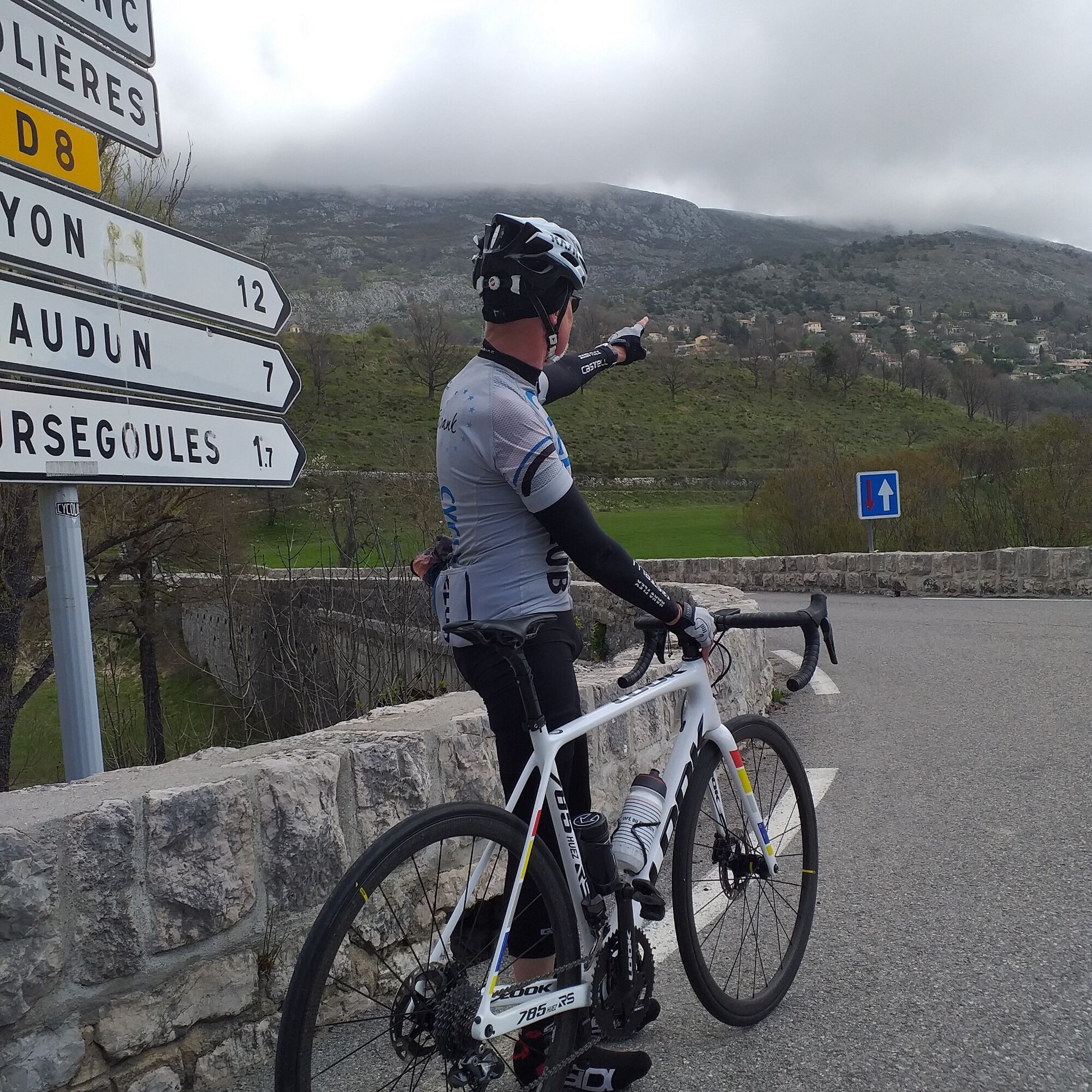

From the village square of La Tour-sur-Tinée take RM 32 towards Utelle
Turn right at the intersection of RM 32 and RM 132, take RM132 towards La Madone d’Utelle 6 km
The final arrival is at the sign indicating the summit under the Sanctuary
Push 500 m further up to admire from the orientation table a magnificent landscape turned 360° towards the sea and the Mercantour peaks
Descend carefully to the junction of RM 32 and RM 132
From this intersection, take RM 32 right towards Utelle 0.5 km and Saint-Jean-la-Rivière 10 km
Cross Utelle
At the bottom of the descent, cross the bridge spanning the Vésubie
At the exit, in the center of Saint-Jean-la-Rivière, turn right on RM 2565 towards Nice
At the crossroads of RM 19 and RM 2565 stay right to continue on RM 2565 towards Nice
Take the 2nd exit left towards Nice at the RM 2565 and RM 6202 roundabout,
Cross Plan du Var by RM6202
On RM 6202, 100 m after the roundabout, turn right on the Charles-Albert Bridge crossing the Var towards Z.I. Carros – Le Broc
At the bridge exit, take the 2nd exit left towards Nice on RM 901
At the Nucéra Bridge crossing the Estéron, at the roundabout, take the 1st exit towards Le Broc on RM 2209
At Les Iscles, the ascent to Le Broc begins continuing on RM 2209
At the intersection of RM 2209 and RM 101, turn right towards Le Broc
Cross the village of Le Broc through small streets, at the exit, on RM 1 turn right towards Bouyon
Below the village of Bouyon, at the intersection of RM 1 and RM 8, go straight on RM 8 towards Coursegoules 11 km, summit of the ascent
On RD 8, continue to the village intersection of Coursegoules (0.5 km) to take RD2 - Gréolières – Vence
At the intersection RD 8 and RD 2, turn left towards Nice – Vence (16 km)
After the summit of Col de Vence, start the rapid descent towards Vence on RM 2
At the entrance of Vence, take RD 2210 towards Saint-Jeannet-Vence
At Peyron roundabout in Saint-Jeannet, take the 1st exit right towards La Gaude on RM 18
At the roundabout with RM 118 and RM 18, continue straight towards Saint-Laurent du Var on RM 118
Continue on RM 118 to the entrance of Saint-Laurent du Var
At the first roundabout, take the 1st exit right toward downtown
At the intersection at the exit of square Bénes, turn left and immediately right towards the SNCF station – Nice on RM98
At the passage of the Saint-Laurent du Var SNCF station, take the underpass toward Nice
At the exit of the tunnel, turn left towards Nice and get on the cycle path up to the arrival point located opposite Verdun Avenue in Nice
-Wear a certified helmet
-Check the condition of your tires
-Take a repair kit in case of a puncture
-Prefer at least one flashing LED light to attach to the seat post to be seen by motorists, especially in the small tunnels that are numerous in the Métropole
-Remember to take a windbreaker or a raincoat for the descent of the pass
BASIC RULES
Choose a climb suited to your physical condition, do not overestimate your abilities
Check the mountain weather and pass openings before setting out
Remember to carry an ID and an emergency phone number
Respect the environment
Control your speed on the descent
GOOD PRACTICES FOR RIDING IN A GROUP
Riding two abreast is allowed, but single file is required:
At nightfall or in low visibility
When a vehicle wanting to overtake signals its approach.
5
ENCOUNTER WITH THE FAMOUS PATOU DOGS POSSIBLE ON THE LAST KMS OF THE MADONE ASCENT
These dogs tirelessly guard the flocks, threatening to attack anything that approaches. A recurring source of controversy, their presence regularly leads to incidents. Many of these can be avoided with some precautions.
Tip #1: announce your arrival
On the road, in the upper part of the pass, the presence of patou dogs nearby should be taken seriously and will encourage cyclists to be cautious and signal themselves from afar, without shouting, to announce their arrival, as the patous do not like to be surprised.
Tip #2: maintain a safe distance
For a patou raised among sheep, anyone approaching the flock is a potential threat. It is therefore important to keep as much distance as possible from the flocks. Move slowly and steadily.
Tip #3: accept confrontation
These dogs are trained to deter rather than to attack. If they detect an intruder, they will start barking and growling. It is common for them to approach the cyclist aggressively to sniff them. You must remain calm, speak in a soothing voice, move without sudden gestures, and try not to show fear to reduce tension. The cyclist is advised to get off the bike and walk calmly beside it.
Tip #4: do not be aggressive
In case of confrontation, the dog must not feel threatened. Avoid looking the dog in the eyes and lower your head.
Tip #5: do not become prey
All outdoor activities of the Métropole Nice Côte d'Azur are on https://outdoor.nicecotedazur.org
Webové kamery z prehliadky
Získajte prehľad
Vždy naživo na mieste s viac ako 9 500 webovými kamerami. bergfex Ako používateľ Pro si teraz môžete pozrieť príslušné webové kamery pre mnohé zájazdy v aplikácii zájazdy z. Môžete si tak priamo prezerať aktuálne podmienky.
Obľúbené výlety v okolí
-
Nice - Aspremont / Pagarine Route (stage 1)
strednáTuristika 15,8 km -
4,0
Little hike in Aspremont: Mont Chauve circuit
svetloTuristika 6,49 km -
Grande Randonnée® de Pays: Lou Camin Nissart
ťažkédiaľková pešia trasa 44,7 km -
FFC bike circuit no. 5: on the Tour De France routes (big loop)
strednáCestný bicykel 74,2 km -
FFC bike circuit no. 8: the 70.3 circuit (Half IRONMAN)
strednáCestný bicykel 92,8 km -
FFC bike route no. 7: Tour of Vence
svetloCestný bicykel 57,7 km -
A short walk in Saint-Jeannet : Les Baous de la Gaude and St-Jeannet
strednáTuristika 12,2 km -
The "Route des Paysages" between the coast and the middle country of Nice
svetloMotorrad 147,7 km -
FFC MTB route no. 25: The summit of Broc
strednáMountainbike 18,9 km -
VTT FFC circuit no. 7 - The Olive Trees Loop
svetloMountainbike 8,09 km
Turistika a stopovanie


Nenechajte si ujsť ponuky a inšpiráciu na ďalšiu dovolenku
Vaša e-mailová adresa bol pridaný do poštového zoznamu.





