



Navigácia na stránke
Získajte túto prehliadku v mobilnom telefóne
Mapa
FFC cycling circuit no. 3: LE TOUR DU COL DE BRAUS
ťažké
Cestný bicykel
101,87 km
Naskenujte kód QR a spustite navigáciu v aplikácii bergfex
QR Code
Turistika a stopovanie

FFC cycling circuit no. 3: LE TOUR DU COL DE BRAUS
Vzdialenosť
101,9 km
Trvanie
08:45 h
Ascent
1 830 hm
Hladina mora
6 - 1 377 m
Stiahnutie skladby
Mapa
FFC cycling circuit no. 3: LE TOUR DU COL DE BRAUS
ťažké
Cestný bicykel
101,87 km

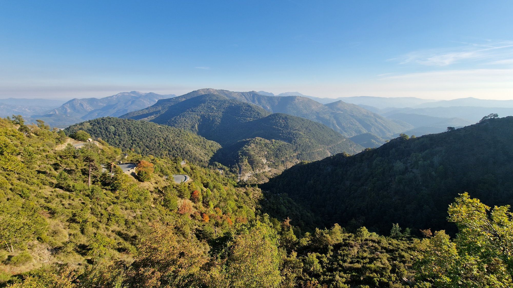
There's a good reason why the organisers of the Tour de France 2024 chose this legendary climb as one of the queen stages of the event.

All the outdoor activities in the Nice Côte d'Azur region can be...

Opis

There's a good reason why the organisers of the Tour de France 2024 chose this legendary climb as one of the queen stages of the event.

All the outdoor activities in the Nice Côte d'Azur region can be found at https://outdoor.nicecotedazur.org

Trasa
Nice
(6 m)
Mesto
0,6 km
Église Saint-Jean-Baptiste
(97 m)
Miesto uctievania
9,5 km
Pas de L'agrée
(1 040 m)
Horské sedlo
31,5 km
Cime du Tournet
(1 164 m)
Summit
48,3 km
Chapelle Saint-Antoine l'Hermite
(371 m)
Miesto uctievania
80,8 km
La Vigne
(496 m)
Koridor/terén
85,8 km
Église Notre-Dame du Port
(7 m)
Miesto uctievania
101,7 km
Trasa
Mapa
FFC cycling circuit no. 3: LE TOUR DU COL DE BRAUS
ťažké
Cestný bicykel
101,87 km
Nice
(6 m)
Mesto
0,6 km
Saint-André-de-la-Roche
(51 m)
Dedina
5,0 km
L'Ariane
(57 m)
Susedstvo
5,8 km
L'Ariane - La Trinité
(58 m)
Železničná stanica
5,9 km
L'Oli
(57 m)
Reštaurácia
5,9 km
La Trinité
(74 m)
Mesto
7,3 km
Église de la Très Sainte-Trinité
(81 m)
Miesto uctievania
8,0 km
Église Saint-Jean-Baptiste
(97 m)
Miesto uctievania
9,5 km
Drap
(89 m)
Dedina
9,6 km
Cantaron
(102 m)
Dedina
10,1 km
Blausasc
(308 m)
Dedina
17,3 km
Chapelle Saint-Roch
(392 m)
Miesto uctievania
20,1 km
L'Escarène
(342 m)
Dedina
20,8 km
Église Saint-Honorat
(435 m)
Miesto uctievania
22,8 km
Touët-de-l'Escarène
(419 m)
Dedina
22,8 km
La Vigna
(444 m)
Koridor/terén
23,1 km
Pas de L'agrée
(1 040 m)
Horské sedlo
31,5 km
Col de l'Orme
(1 004 m)
Koridor/terén
38,5 km
Cime du Tournet
(1 164 m)
Summit
48,3 km
Restaurant Pizzeria
(622 m)
Reštaurácia
62,2 km
Coaraze
(651 m)
Dedina
62,3 km
Bendejun
(360 m)
Dedina
66,7 km
Les Fournès
(447 m)
Zúčtovanie
71,4 km
Châteauneuf-Villevieille
(521 m)
Dedina
71,7 km
Le Col
(627 m)
Zúčtovanie
73,9 km
Chapelle Saint-Antoine l'Hermite
(371 m)
Miesto uctievania
80,8 km
Tourrette-Levens
(348 m)
Dedina
80,9 km
Bois de Cortéo
(550 m)
Koridor/terén
84,6 km
La Prairie
(535 m)
Koridor/terén
85,2 km
Aspremont
(532 m)
Dedina
85,7 km
La Vigne
(496 m)
Koridor/terén
85,8 km
La Vallière
(472 m)
Koridor/terén
86,0 km
Auberge de l'aire Saint-Michel
(317 m)
Reštaurácia
93,4 km
Restaurant Simon
(315 m)
Reštaurácia
93,7 km
Au Rendez-vous des Amis
(315 m)
Reštaurácia
93,7 km
La gaîté nallino
(162 m)
Reštaurácia
96,5 km
Rimiez
(146 m)
Susedstvo
96,9 km
Cimiez
(75 m)
Susedstvo
98,7 km
Nice
(6 m)
Mesto
100,0 km
Carabacel
(8 m)
Susedstvo
100,1 km
Église Saint-Spyridon
(15 m)
Miesto uctievania
100,2 km
Église Notre-Dame du Port
(7 m)
Miesto uctievania
101,7 km
Informácie o prehliadke

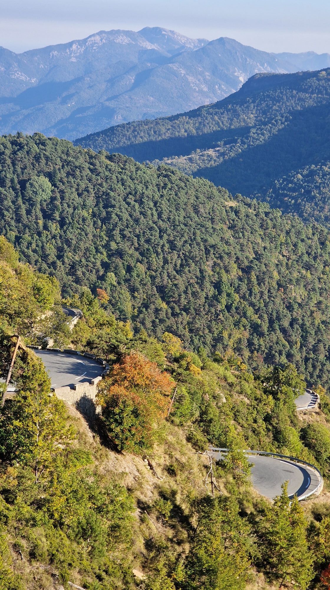
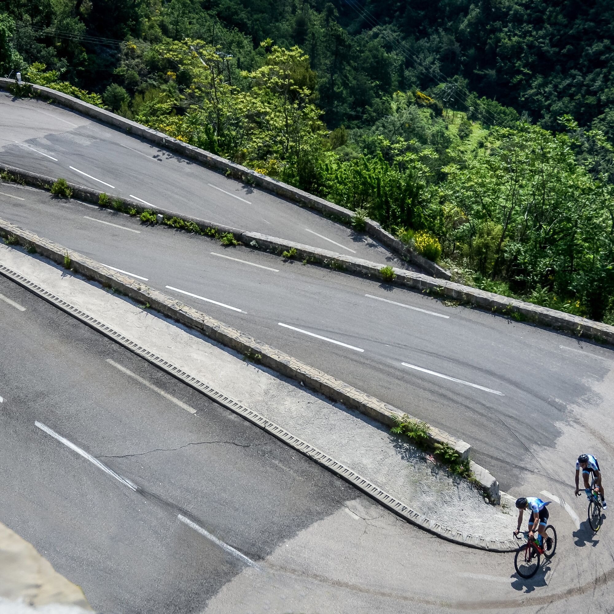
To tackle the Col de Braus (1,002m), with its many twists and turns and two gradients of 15%, is to share in the local history of cycling. The stele erected at the top of the pass in memory of René Vietto, Côte d'Azur champion from 1934 to 1952 and several times in the yellow jersey, bears witness to this.

Technológia
5 / 6
Stav
5 / 6
Krajina
5 / 6
Skúsenosti
5 / 6
Najlepšie ročné obdobie
Jan
Feb
Mar
Apr
Máj
Jún
Júl
Aug
Sep
Okt
Nov
Dec
Zdieľať prehliadku
Mapa
FFC cycling circuit no. 3: LE TOUR DU COL DE BRAUS
ťažké
Cestný bicykel
101,87 km
Chyba
Vyskytla sa chyba. Prosím, skúste to znova.
Informácie o trase
Geologické zaujímavosti

Áno

Prehliadka vrcholu

Áno

Bezpečnostné pokyny

In an emergency, dial 112

Informácie o príchode
Príchod

Think about carpooling

Verejná doprava

Choose public transport for your journeys

Parkovanie

Parking close to the starting point

Ďalšie informácie a tipy
Tipy

The loop also includes some gentler climbs: the ascent from Blausasc to the summit at the Col de Nice, the Col de l'Ablé in the middle of a magnificent coniferous forest, the route des Cabanettes and the ascent to the Col de Châteauneuf.

Zatiaľ žiadne recenzie
Napíšte recenziu

Recenzie pomáhajú ostatným používateľom vybrať si ďalšie dobrodružstvo. Prosím, hodnoťte len prehliadku, nie počasie alebo občerstvenie.

Vyberte jednu z hviezdičiek a ohodnoťte prehliadku
Zlé turné
Slabé turné
Priemerné turné
Dobrá prehliadka
Vynikajúca prehliadka
bergfex logo Získajte prehľad Vždy naživo na mieste s viac ako 9 500 webovými kamerami. bergfex Ako používateľ Pro si teraz môžete pozrieť príslušné webové kamery pre mnohé zájazdy v aplikácii zájazdy z. Môžete si tak priamo prezerať aktuálne podmienky.
Turistika a stopovanie

Turistika a stopovanie

Turistika a stopovanie
Viac ako 550.000 návrhov výletov, podrobné mapy a intuitívny plánovač trás robia z aplikácie povinnú výbavu pre všetkých nadšencov prírody.
bergfex


