Sainte-Agnès - Chapelle Saint-Sébastien - Col de Verroux - Pointe Siricocca
stredná
Získajte túto prehliadku v mobilnom telefóne
Sainte-Agnès - Chapelle Saint-Sébastien - Col de Verroux - Pointe Siricocca
stredná
Turistika
10,43
km
Naskenujte kód QR a spustite navigáciu v aplikácii bergfex

Turistika a stopovanie


Sainte-Agnès - Chapelle Saint-Sébastien - Col de Verroux - Pointe Siricocca
stredná
Vzdialenosť
10,43
km
Trvanie
03:13
h
Ascent
539
hm
Hladina mora
584 -
1 047
m
Stiahnutie skladby
Sainte-Agnès - Chapelle Saint-Sébastien - Col de Verroux - Pointe Siricocca
stredná
Turistika
10,43
km
Trasa
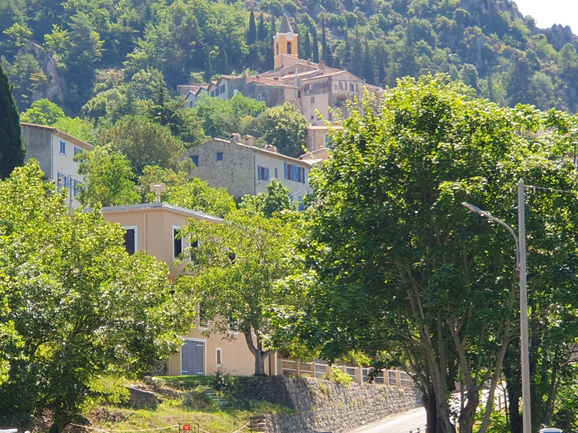
Sainte-Agnès
(655 m)
Dedina
0,0 km
Chapelle Saint-Sébastien
(605 m)
Miesto uctievania
0,0 km
Source du Borrigo
(852 m)
Zdroj
3,2 km
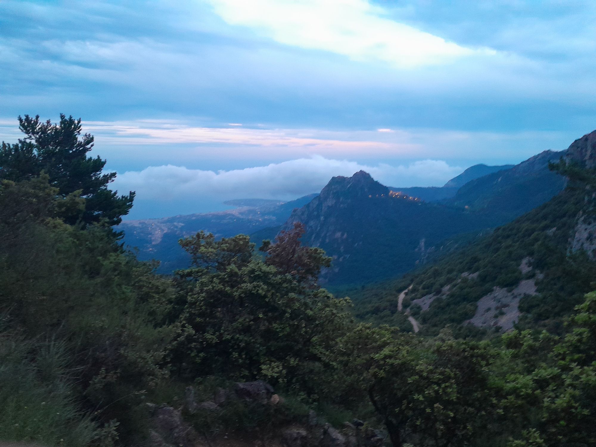
Col de Verroux
(935 m)
Uhol pohľadu
3,9 km
Pointe Siricocca
(1 053 m)
Summit
4,8 km
Chapelle Saint-Sébastien
(605 m)
Miesto uctievania
10,4 km
Trasa
Sainte-Agnès - Chapelle Saint-Sébastien - Col de Verroux - Pointe Siricocca
stredná
Turistika
10,43
km
Sainte-Agnès
(655 m)
Dedina
0,0 km
Chapelle Saint-Sébastien
(605 m)
Miesto uctievania
0,0 km
Source du Borrigo
(852 m)
Zdroj
3,2 km
Col de Verroux
(935 m)
Uhol pohľadu
3,9 km
Pointe Siricocca
(1 053 m)
Summit
4,8 km
Chapelle Saint-Sébastien
(605 m)
Miesto uctievania
10,4 km
Sainte-Agnès
(655 m)
Dedina
10,4 km
Zatiaľ žiadne recenzie
Obľúbené výlety v okolí
-
4,0
Chemin de Nietzsche
svetloTuristika 3,73 km -
5,0
Little hike at Eze: Fort de la Revère Circuit
svetloTuristika 6,02 km -
Trail no. 01: Ventimiglia - La Colla
strednáTuristika 10,4 km -
5,0
Goldtoni - Alpenbogen A102 Monaco-Sospel
svetlodiaľková pešia trasa 29,7 km -
IM_15 Laghetti del Rio Sgorela (Val Barbaira)
Turistika 2,95 km -
FFC MTB loop no. 60: Le mont Macaron
strednáMountainbike 10,6 km -
5,0
Goldtoni - Alpenbogen A081 Utelle-Drap
svetlodiaľková pešia trasa 32,8 km -
IM_14 San Michele (train station) - Monte Grammondo
Turistika 8,78 km -
FFC MTB loop no. 61: La Baisse de Bordinas
strednáMountainbike 29,0 km -
5,0
Èze-sur-Mer - Mont Bastide - Èze - Èze-Bord-de-Mer
strednáTuristika 7,60 km
Turistika a stopovanie

Viac ako 550.000 návrhov výletov, podrobné mapy a intuitívny plánovač trás robia z aplikácie povinnú výbavu pre všetkých nadšencov prírody.

Nenechajte si ujsť ponuky a inšpiráciu na ďalšiu dovolenku
Prihlásiť sa k odberu noviniek
Chyba
Vyskytla sa chyba. Prosím, skúste to znova.
Ďakujeme za vašu registráciu
Vaša e-mailová adresa bol pridaný do poštového zoznamu.
Zájazdy po celej Európe
Rakúsko
Švajčiarsko
Nemecko
Taliansko
Slovinsko
Francúzsko
Holandsko
Belgicko
Poľsko
Lichtenštajnsko
Česko
Slovensko
španielsko
Hrvaška
Bosna a Hercegovina
Luxembursko
Andorra
Portugalsko
Island
Spojené kráľovstvo
Írsko
Grécko
Albánsko
Severné Macedónsko
Malta
Nórsko
Čierna Hora
Moldavsko
Kosovo
Maďarsko
San Maríno
Rumunsko
Estónsko
Lotyšsko
Bielorusko
Cyprus
Litva
Srbsko
Bulharsko
Monako
Dánsko
Švédsko
Fínsko