







Wine hike: Freinsheim - Dackenheim - Herxheim am Berg - Kallstadt
The hike takes you through the golf garden of the German Wine Route, to the palace garden in Herxheim am Berg, past Kallstadt back to Freinsheim. The route is easy to manage and has no significant inclines....
The hike takes you through the golf garden of the German Wine Route, to the palace garden in Herxheim am Berg, past Kallstadt back to Freinsheim. The route is easy to manage and has no significant inclines. There are dining options in the towns along the way.
The route is not separately signposted. The path through the vineyards offers little shade.
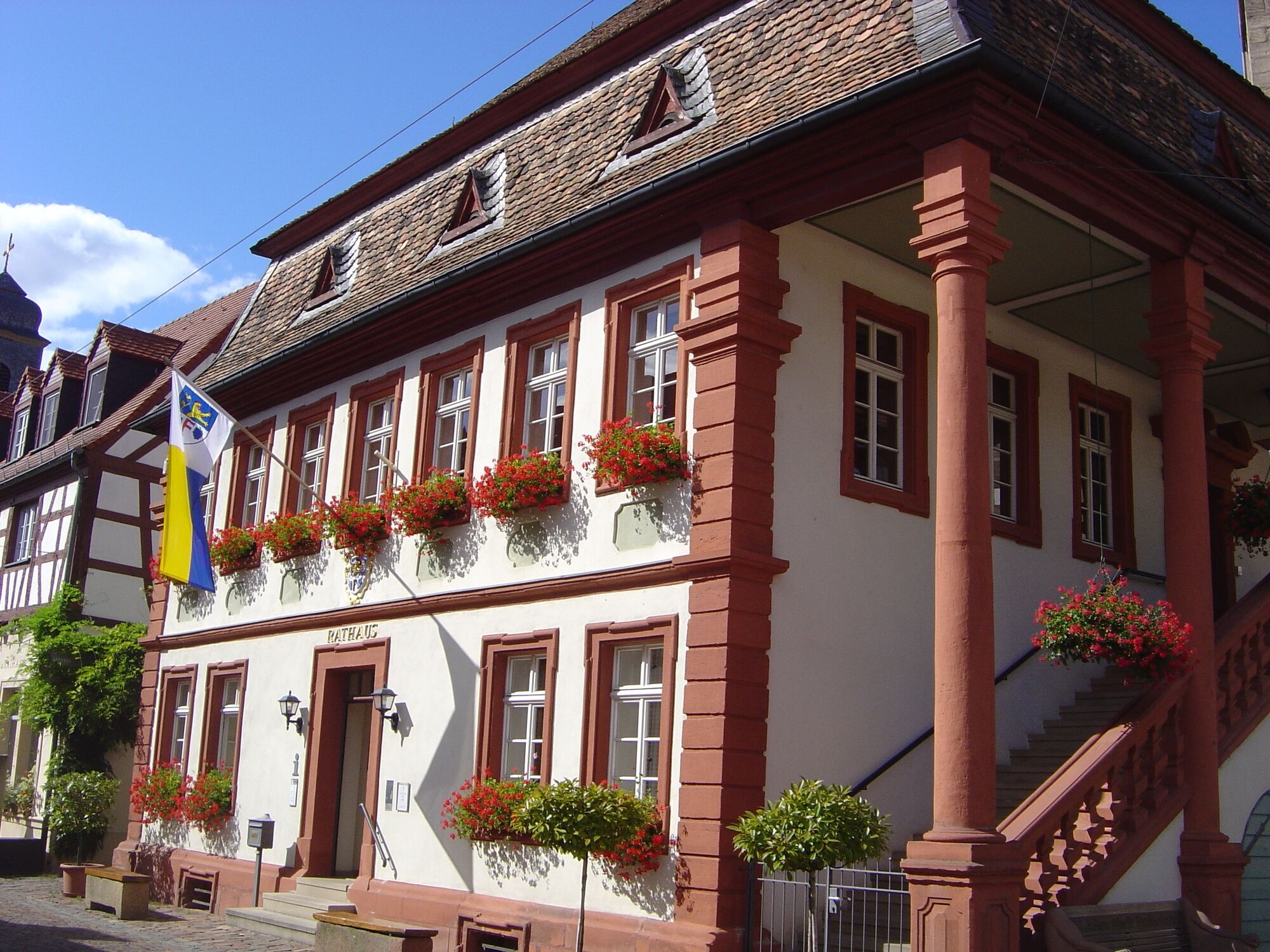
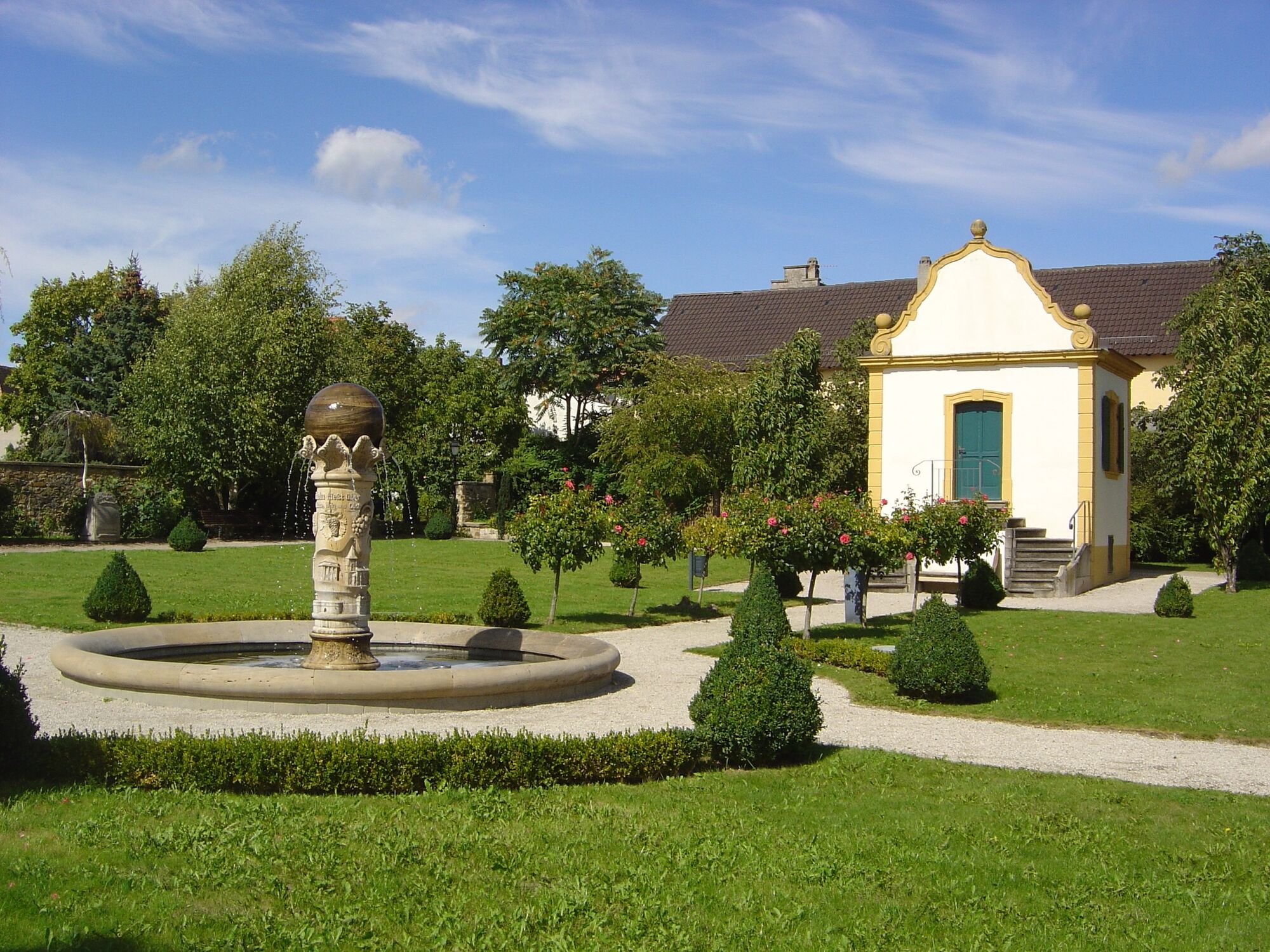
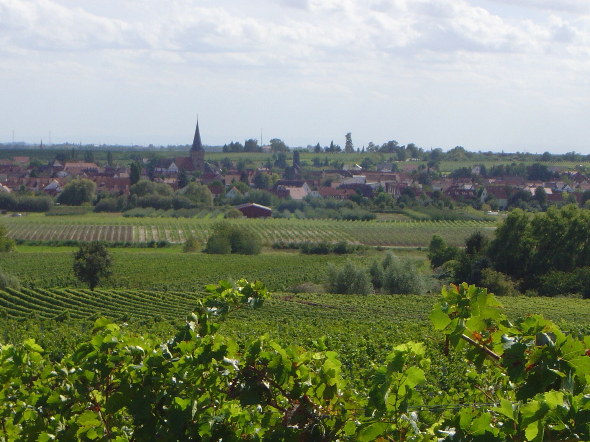
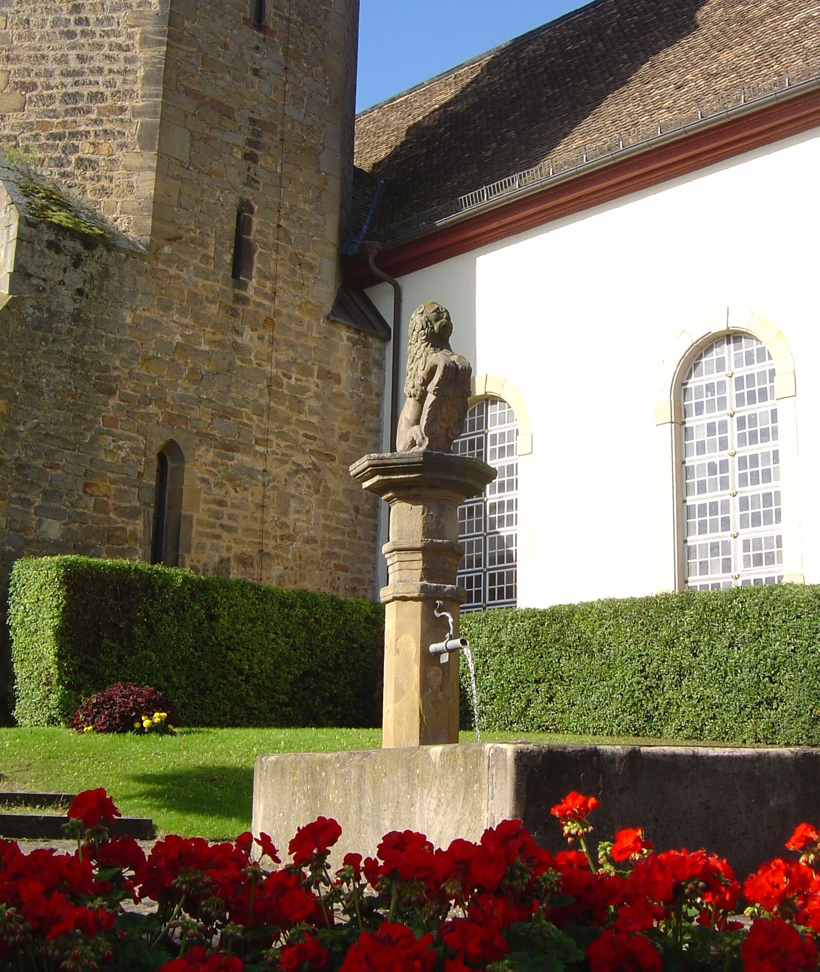
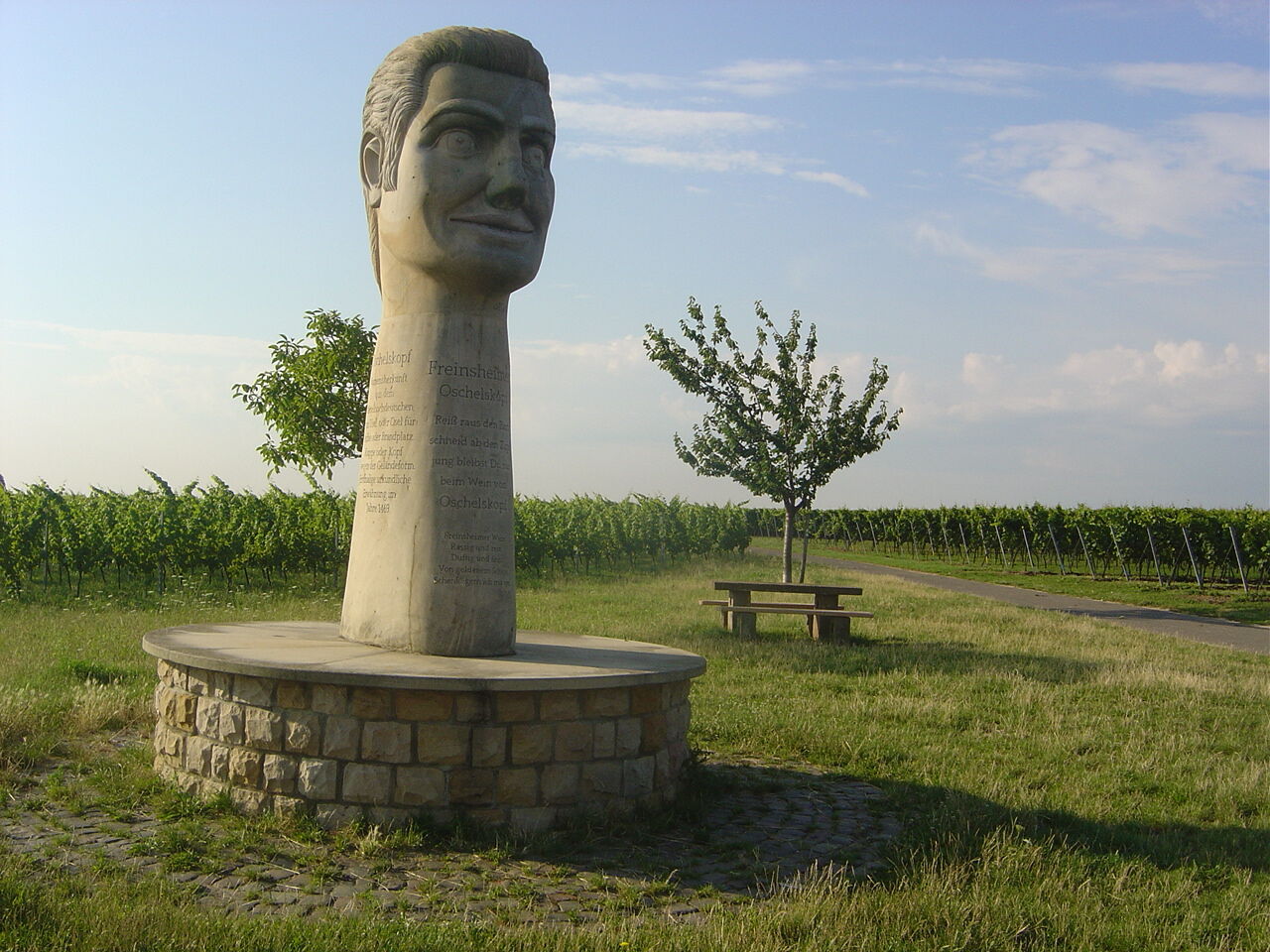
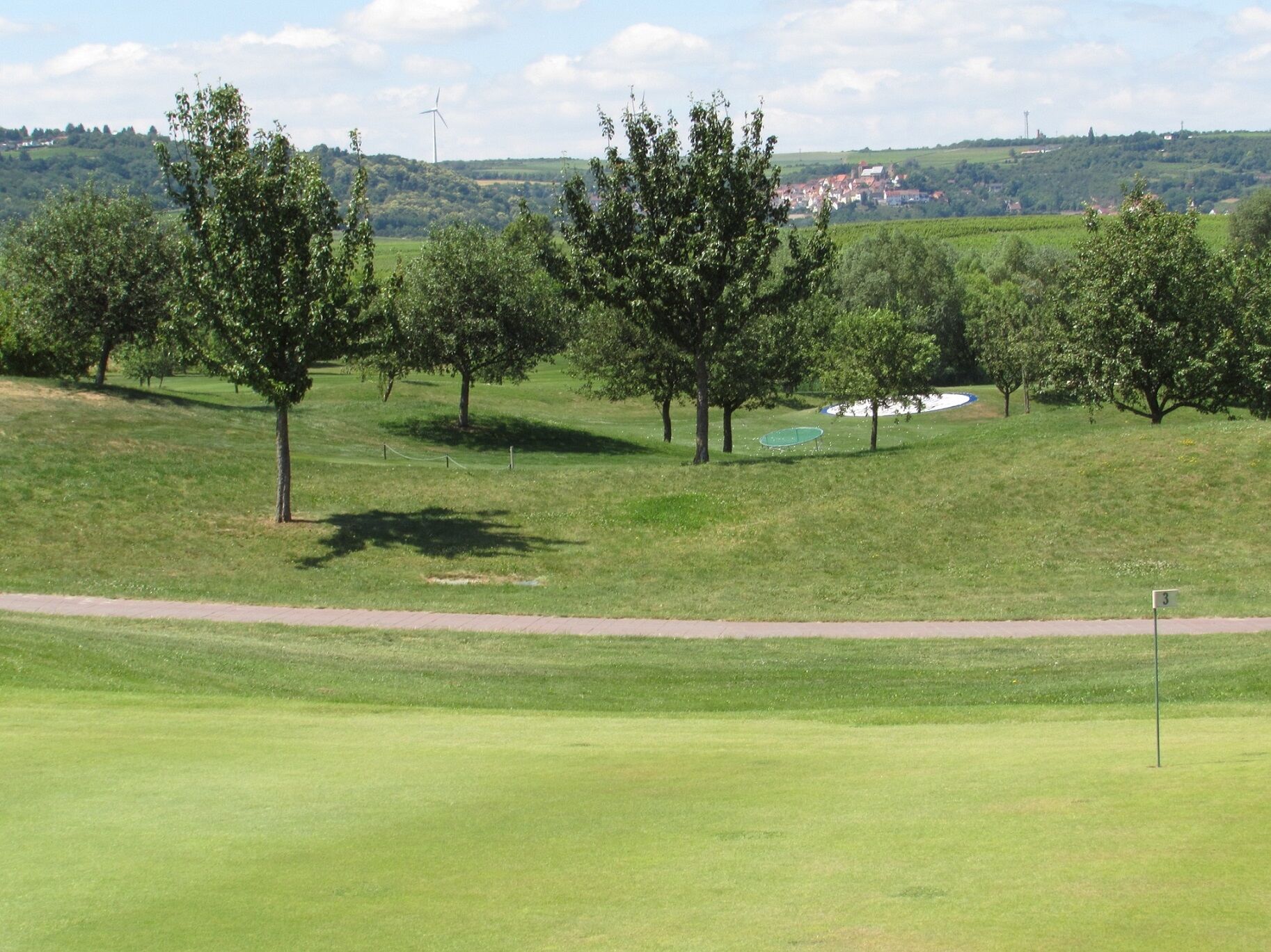
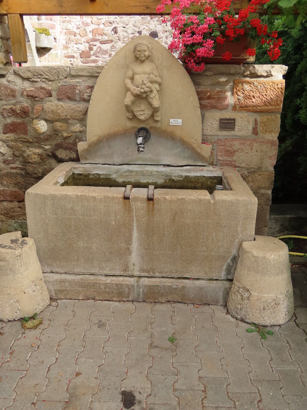

You start from the historic town hall along the main street heading west and then turn right into Dackenheimer Street. Follow this street to the roundabout at the town's exit. Use the underpass and walk past the sports field on the left along the service road ("Kraut und Rüben" cycle route, carrot marking) towards Grünstadt/Dackenheim for nearly 2 km always straight north. At a distinctive weeping willow, turn left to the golf course, which you cross through the greens. Before the town entrance, turn left onto the unpaved path "Im Rappengarten" (towards the church; the street sign is only at the end of the path) and walk along the outskirts of Dackenheim. You reach Cemetery Street, then keep right and cross the main street (Freinsheimer Street). Walk past the war memorial into Herxheimer Street and leave Dackenheim again. Shortly after the rest area at the Liebesbrunnenhaus, turn left onto the paved path and follow it to the entrance of Herxheim am Berg.
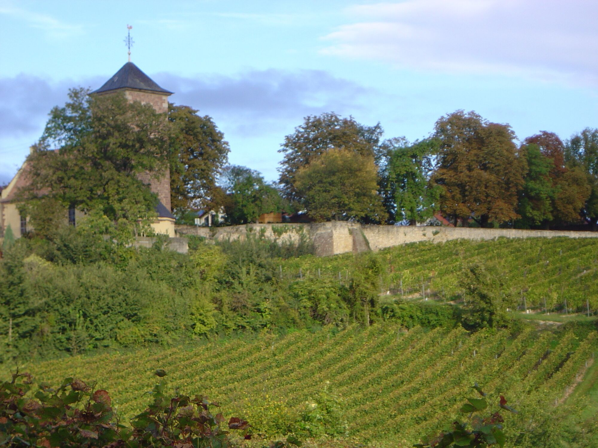
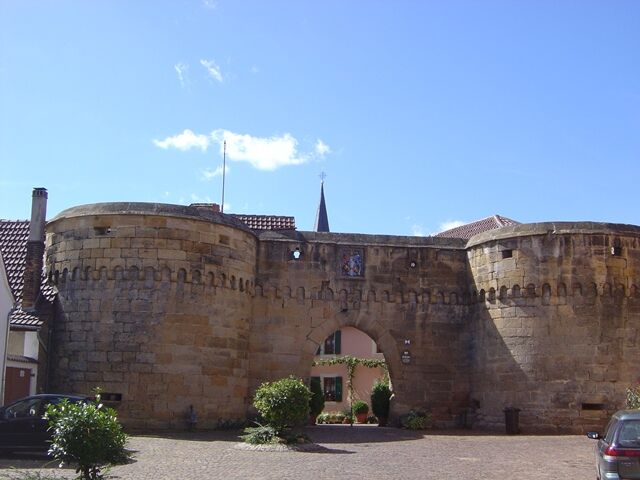
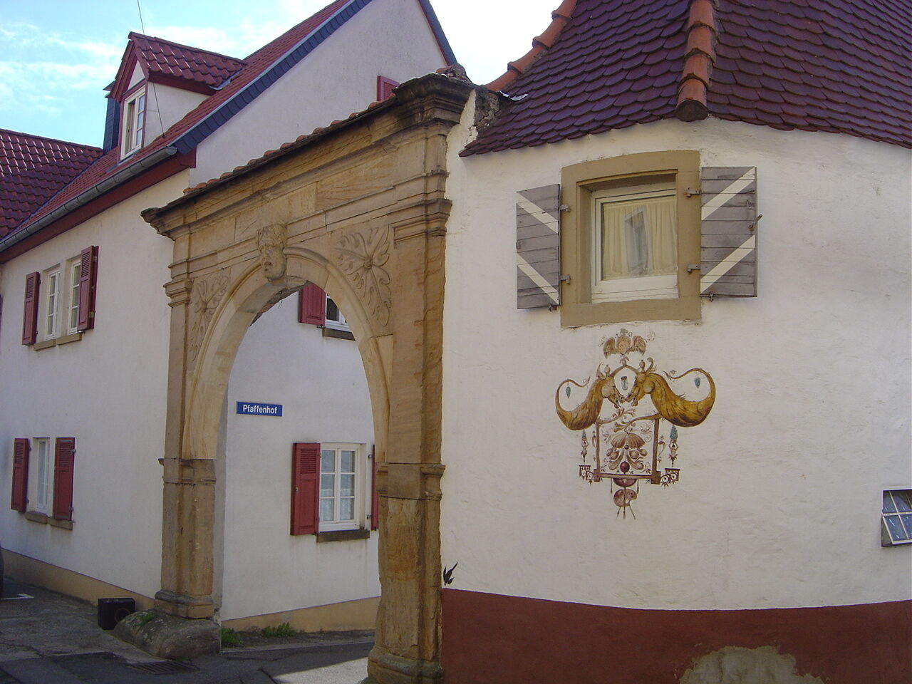
At the first house, keep left onto the unpaved path. This meets an asphalt path, which you follow right towards the Palace Garden/Cemetery. Here you can take a detour into the Palace Garden with old trees and a wonderful view over the Rhine Plain and the St. Jakob Church. The path leads you further along Cemetery Street, then left through the Pfaffenhof Gate and Pfaffenhof to the main street. There keep left. At the town's edge, after the Schumacher winery, turn right and arrive at the "Himmelreichweg" (blue marking). Walk straight downhill. After about 600 m, turn right towards the forest. At the German Wine Route, veer left (the path runs parallel to the street for a short section). You now walk directly south straight towards Kallstadt. At the next fork, turn left. (Those who want to refresh in one of the many restaurants in Kallstadt can make a detour straight into the town.)
After about 500 m, turn left onto the concrete path. This makes a sharp right turn after about 300 m. Another 100 m later, turn left onto the unpaved path and go straight to the cycle path signs. There turn right towards Freinsheim. Pass the meadow with the bench group, uphill to the viewpoint at Oschelskopf, with a view of Freinsheim.
Continue straight on the cycle path towards Freinsheim (pass the Oschelskopf statue on the left). At the end of the path, at the large meadow, keep left and continue across the railway crossing along the wooden path. Pass the playground and continue straight along Herxheimer Street to Bahnhof Street. At the town pharmacy, turn left into the main street and follow it to the historic town hall at the market square.
Please wear weather-appropriate clothing and good footwear.
Our hiking and cycling paths often run on so-called service roads. These serve agricultural purposes and are used all year round by tractors and harvesters. We point out that using the paths is at your own risk and ask cyclists, hikers, and vintners to show mutual consideration in everyone's interest. The service roads may be dirty due to agricultural traffic. After rainy days and especially in winter, the paths can be damp and slippery.
From the north:
A6 motorway (Mannheim/Kaiserslautern, Grünstadt exit) towards Bad Dürkheim, on B271 (German Wine Route) via Herxheim am Berg to Freinsheim
From the south:
A61 motorway at Ludwigshafen junction onto A650 towards Bad Dürkheim. At the end of the expansion, go straight towards the Trift/Grünstadt industrial area. At the second traffic light, turn right towards Ungstein. At the roundabout take the first exit towards Freinsheim.
Freinsheim train station, regular connections from the Rhine-Neckar triangle, from the direction of Neustadt/Weinstraße and Bad Dürkheim as well as from Grünstadt.
Timetable information: www.vrn.de
Parking lot at the train station (Am Güterbahnhof) or parking lot in Großkarlbacher Street. Walking distance to the Tourist Information i-Point Freinsheim in the historic town hall at the market square, approx. 10 or 5 minutes on foot
For more information on route tips and the Freinsheim holiday region, please visit our Tourist Information i-Point Freinsheim, Tel. 06353-989294, www.urlaubsregion-freinsheim.de.
After the hike, you can enjoy the varied gastronomy in the town of Freinsheim. You can also take a city tour through the historical old town and along the town wall and use our interactive tour with video and audio information via smartphone. Public city tours take place from April to October, always on Fridays at 6 pm and Saturdays at 11:15 am.
Získajte prehľad
Vždy naživo na mieste s viac ako 9 500 webovými kamerami. bergfex Ako používateľ Pro si teraz môžete pozrieť príslušné webové kamery pre mnohé zájazdy v aplikácii zájazdy z. Môžete si tak priamo prezerať aktuálne podmienky.
Obľúbené výlety v okolí
-
4,0
Ganerbenweg - Premium circular hiking route in the Freinsheim holiday region
strednáTuristika 10,5 km -
4,5
From Deidesheim over the Heidenlöcher to Eckkopf
strednáTuristika 14,6 km -
Wachenheim - Eckkopf - Heidenlöcher - Wachenheim
strednáTuristika 12,8 km -
4,5
Wachenheimer Valleys Route to Oppauer Haus
strednáTuristika 11,7 km -
4,8
Zum Saupferch - Jägerthal - Drachenfels - Lambertskreuz
strednáTuristika 10,1 km -
5,0
Circular route through forest and vineyard: Weisenheim am Berg - "Wine, Forest, Ungeheuer"
strednáTuristika 12,5 km -
3,5
Thomas‘ Waldweinstube über die Wachtenburg
svetloTuristika 4,81 km -
5,0
Leininger Castle Trail - Premium hiking trail with audio and video stations
ťažkéTuristika 22,3 km -
3,5
Leininger Monastery Trail - Premium hiking trail with audio and video stations
strednáTuristika 15,3 km -
Palatinate Wine Steig Stage 03 Bad Dürkheim - Deidesheim
strednádiaľková pešia trasa 15,2 km
Turistika a stopovanie


Nenechajte si ujsť ponuky a inšpiráciu na ďalšiu dovolenku
Vaša e-mailová adresa bol pridaný do poštového zoznamu.





