







Wine hike: Kallstadt - Herxheim am Berg - interactive with audio and video stations
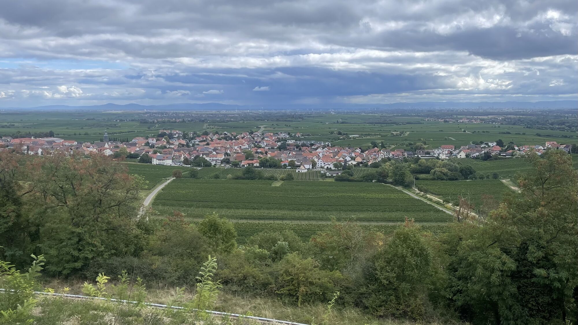
The hike takes you from the Platz der 100 Weine in Kallstadt first towards Herxheim am Berg and then along the upper cliff edge of the Felsenberg, from where you have a wonderful view of the Haardtrand...
The hike takes you from the Platz der 100 Weine in Kallstadt first towards Herxheim am Berg and then along the upper cliff edge of the Felsenberg, from where you have a wonderful view of the Haardtrand and the Rhine plain. You go down through the Berntal along the rocks and then continue through the world-famous Saumagen vineyard. You pass the "Villa am Weilberg", the remains of a Roman winery, and before the end of the route, you can also take a virtual look into the St. Salvator church in Kallstadt. With the knowledge we provide you along the way about viticulture, you can surely choose your wine a bit more consciously as a reward after the hike.

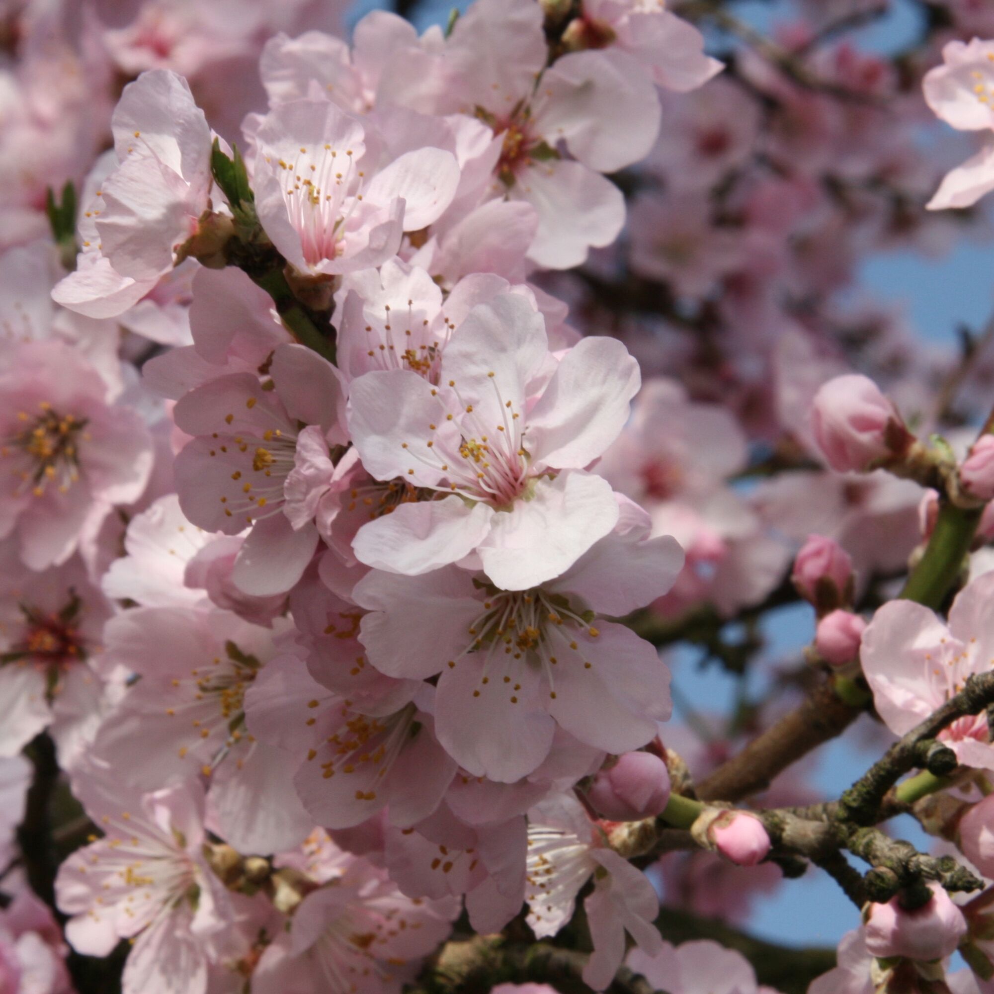
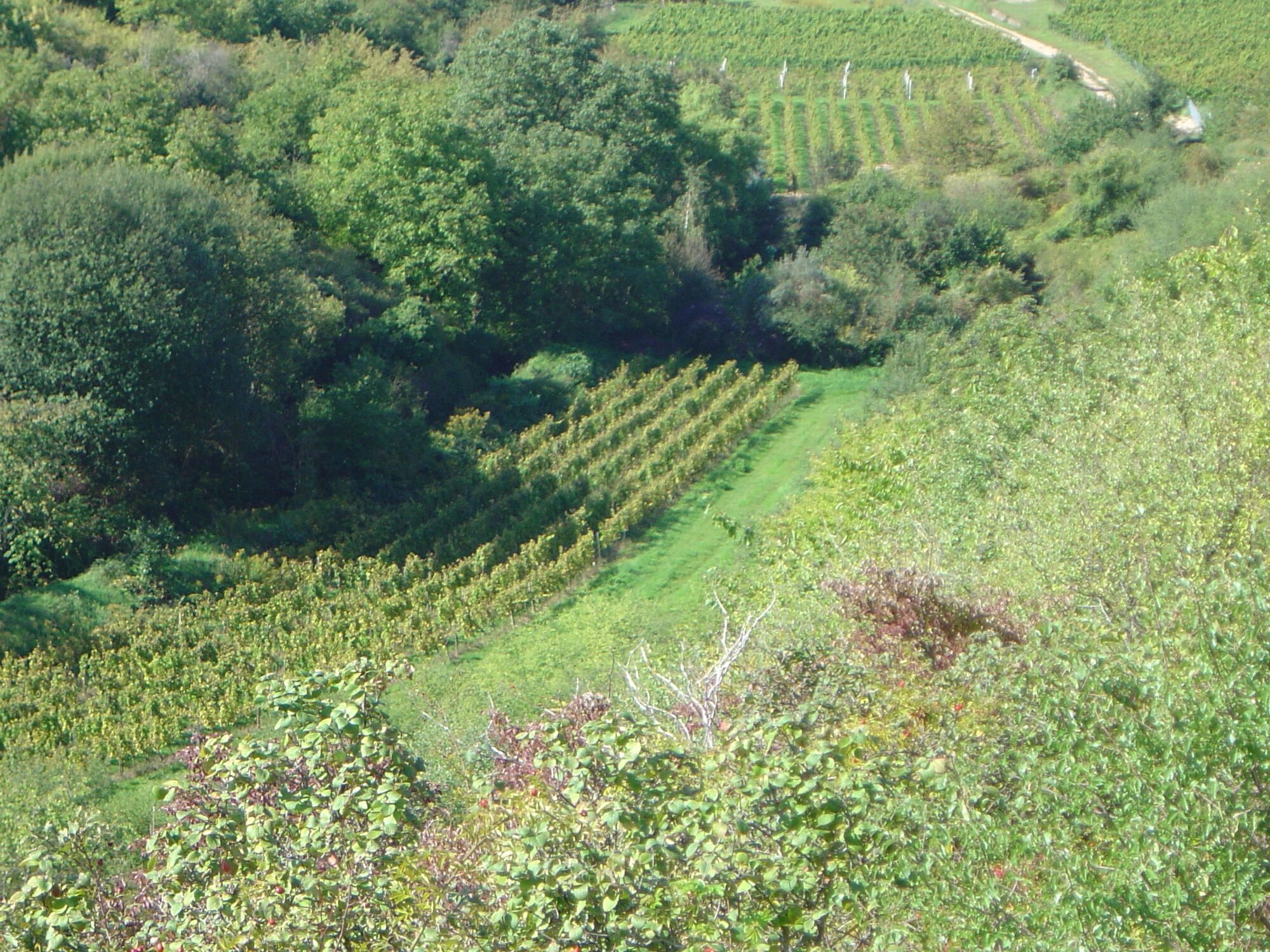
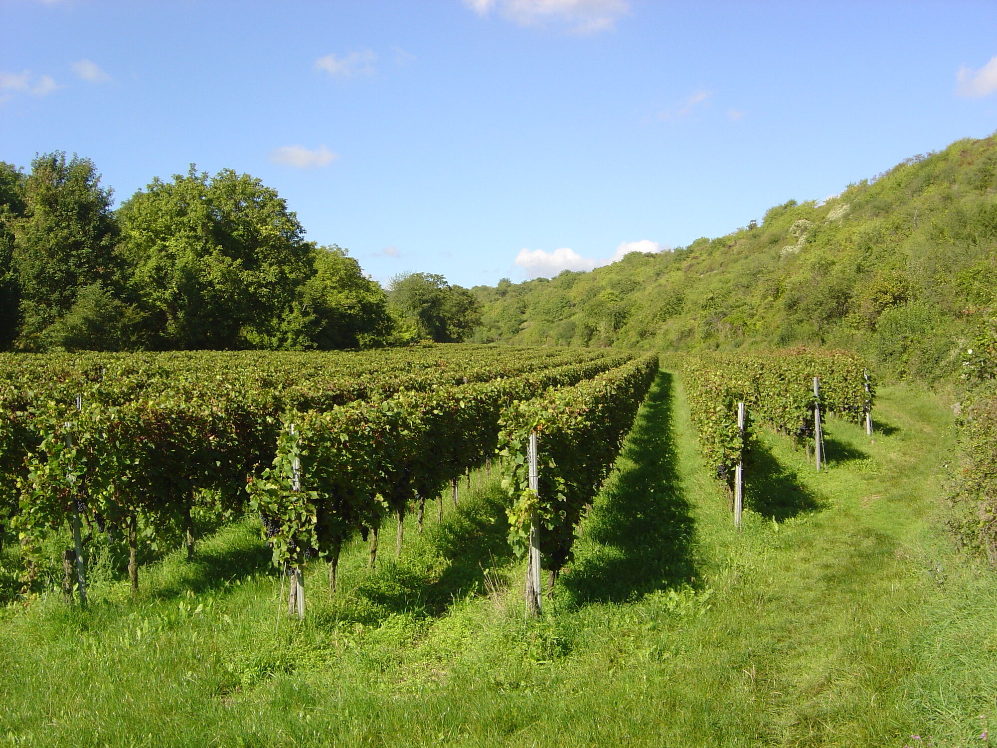
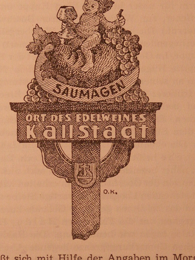
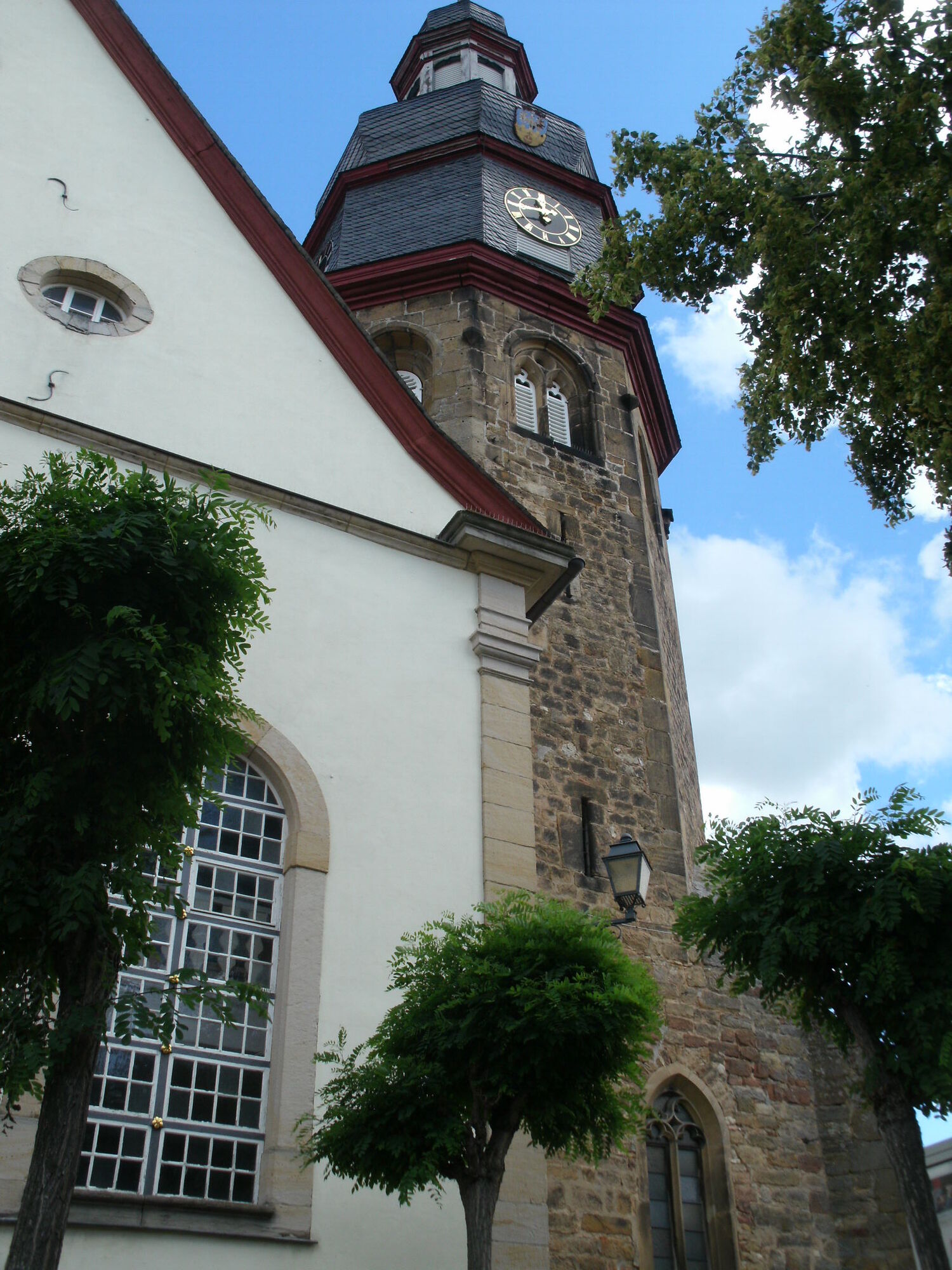

At the start of the route at the Platz der 100 Weine in Kallstadt, we offer you a video introduction to the hike (Station 1). You first follow the Saumagenweg (entry at the Platz der 100 Weine, marked with a stylized Saumagen on blue steel posts) through the vineyards. At the rainwater retention basin, you switch to an unpaved path parallel to the road in this section, the Pfälzer Mandelpfad (marking: pink almond blossom, Station 2). You will receive information about the fifth season in the Palatinate, the almond blossom.
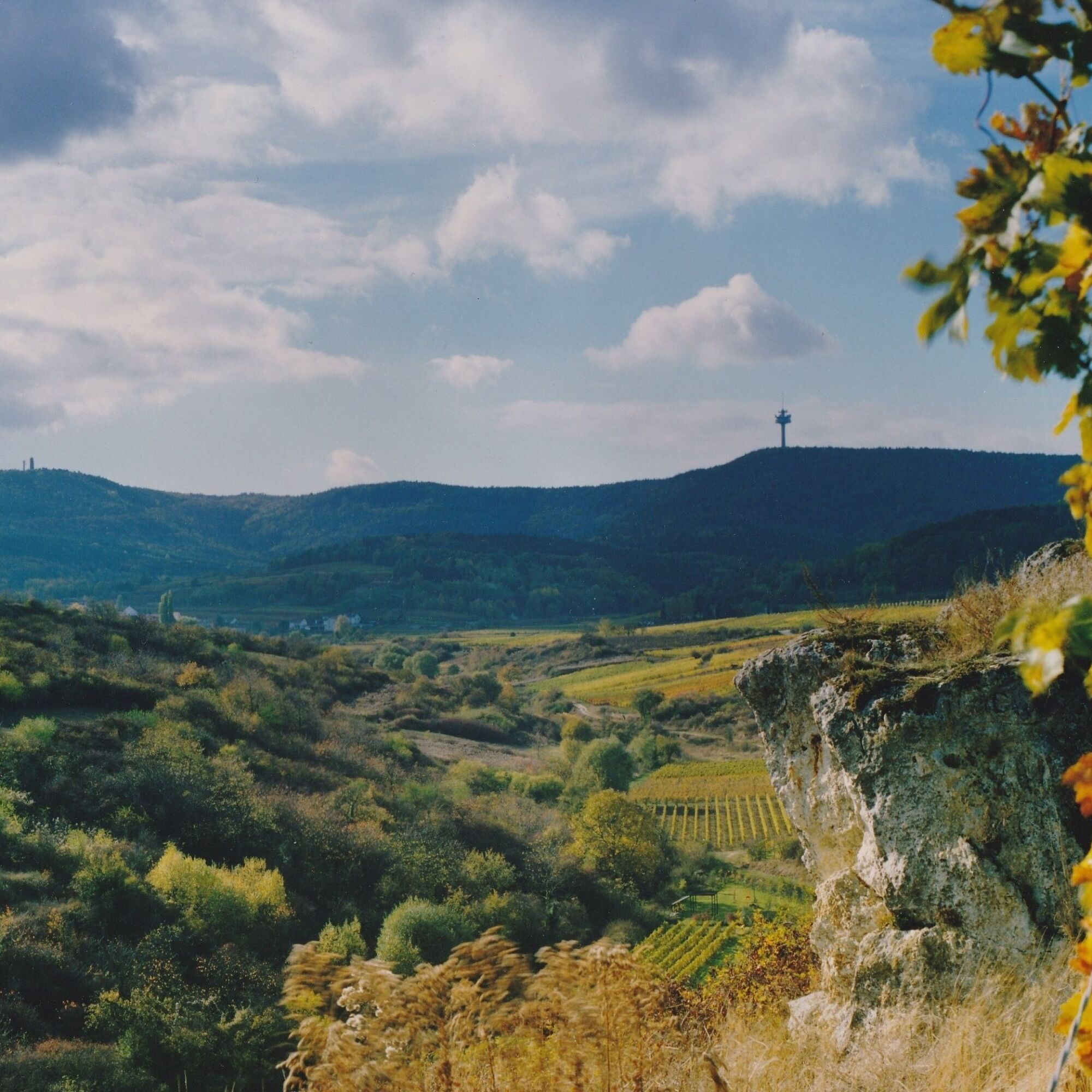
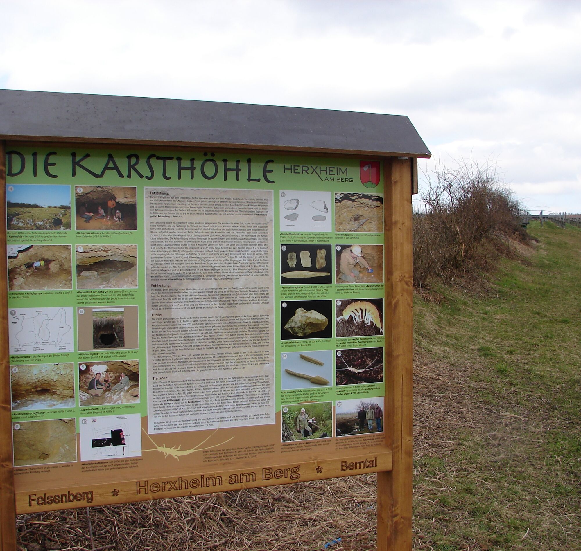
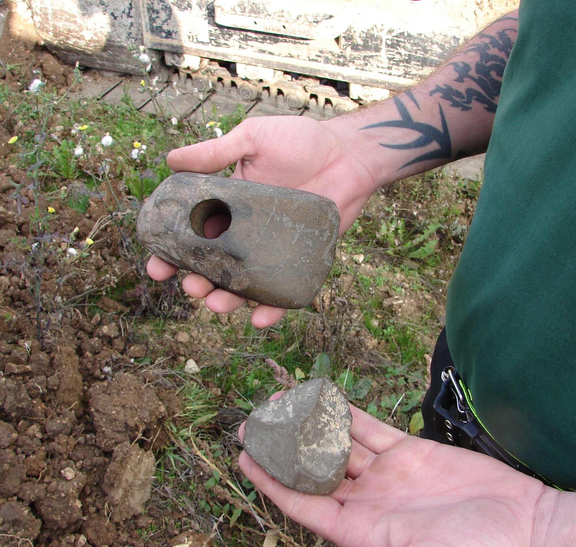
After about 300 meters halfway to Herxheim am Berg, you see the entrance to the Berntal on the left and the Napoleonsweide on the right (Station 3). However, you continue north on the unpaved Mandelpfad. The path—now asphalted—rises slightly in a left curve below the clearly visible Herxheim wine cooperative. At the fork at the top, you see an information panel about the Herxheim karst cave on the right (Station 4). However, the path itself leads you to the left, and you leave the Mandelpfad. You continue west on the paved agricultural road with a view towards the Haardtrand with the clearly visible Bismarck tower and the large telecommunications tower. After about 400 meters, the path turns sharply right (Station 5 with information about viticulture and wine consumption in Germany). Then it turns sharply left again, and you stay close to the cliff edge of the Felsenberg into the Berntal and continue along the top edge above the Berntal. After about 500 meters, keep left (Station 6 with information about the grape varieties of the Palatinate) and head towards Leistadt.
At the end of the Berntal, you reach the L517 country road between Weisenheim am Berg and Leistadt. You have to cross the road and walk a short distance parallel to the road heading south. At Weidenhof, use the crossing aid over the road, pass the parking lot, and then turn left into the Berntal. After about 300 meters, you see a seating area halfway up on the left (Station 7), from where you can see the rock cliff edge in all its grandeur. Here you learn more about the Felsenberg/Berntal nature reserve where you are walking. At the end of the valley, you cross a small bridge and climb the stairs (caution: slippery) that lead you out of the valley.
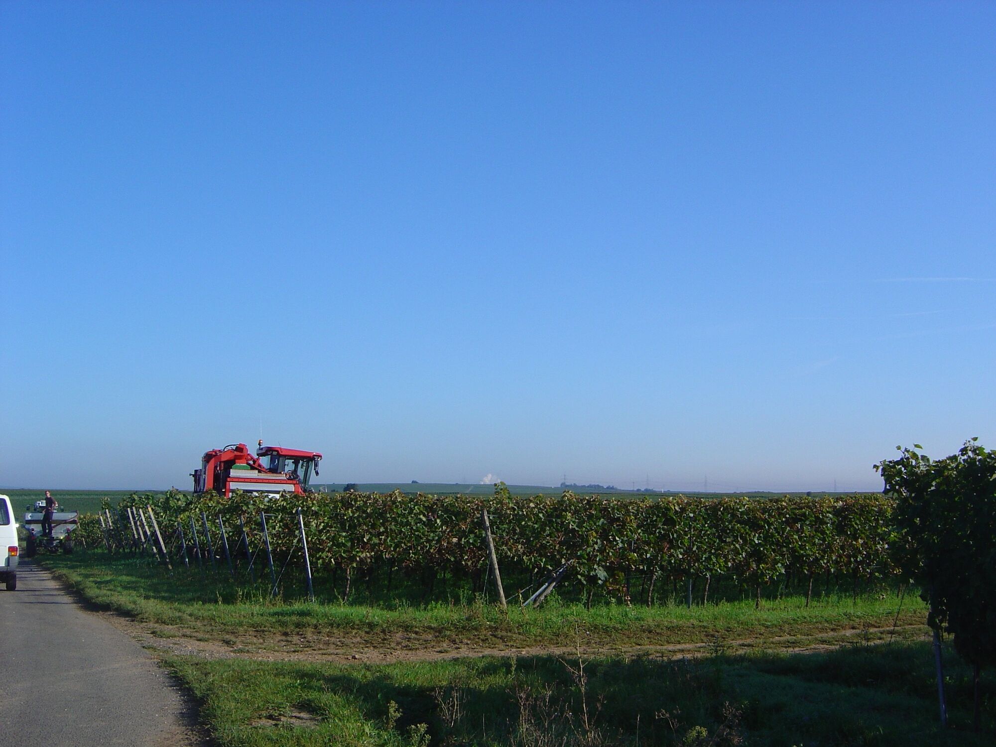
You are now back in the Saumagen vineyard and continue straight ahead. You follow the blue steel posts again, but this time with the wine glass marking, as you now follow the route of the Rieslingweg through the vines. You can use the first rest bench (Station 8) to take a short break. From here, we explain the grape harvest using a grape harvester. You pass a small shelter (Station 9) and further on reach the K4 district road between Kallstadt and Leistadt. You leave the Rieslingweg and keep left, walking a short distance downhill parallel to the road towards Kallstadt.
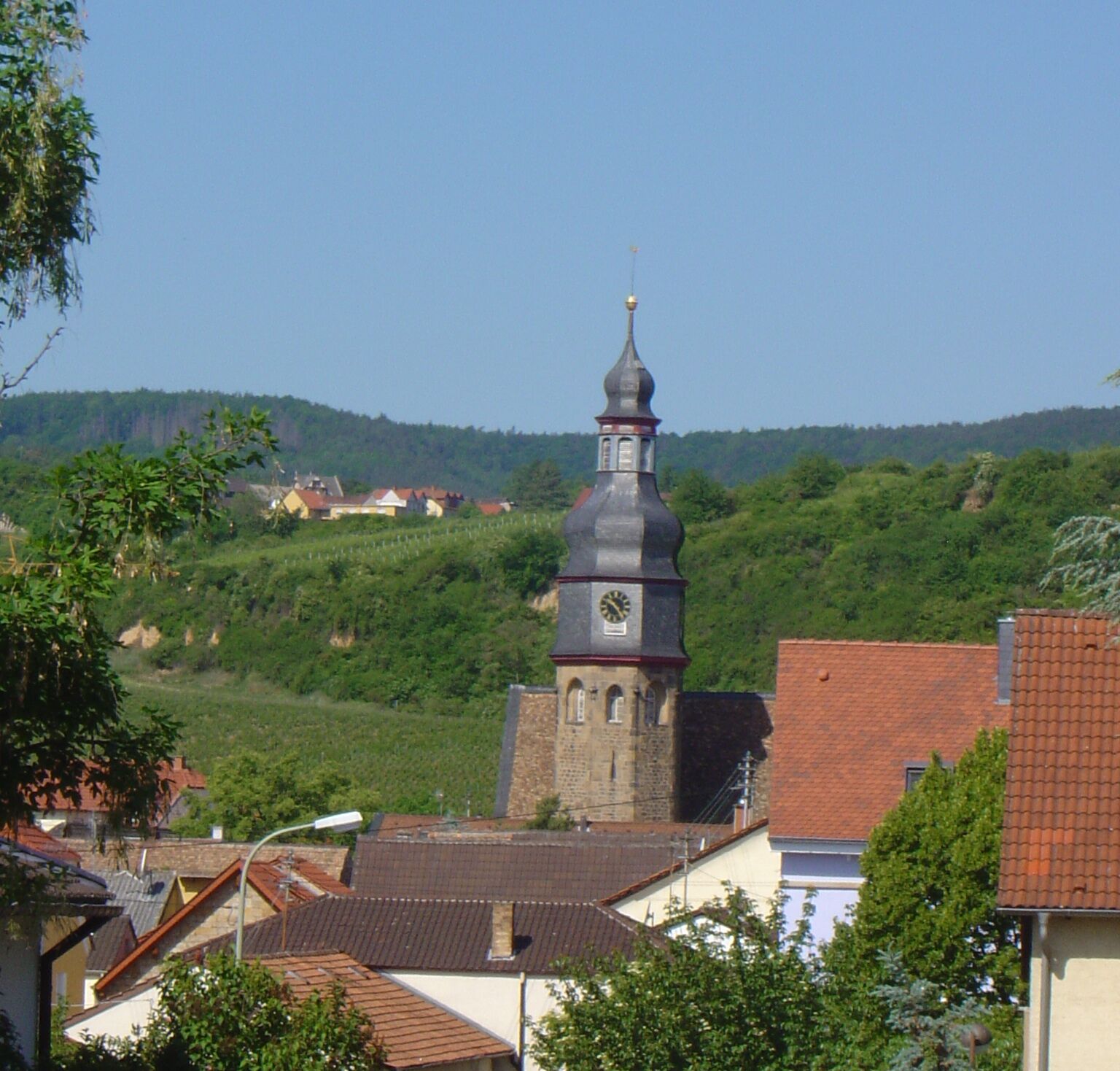
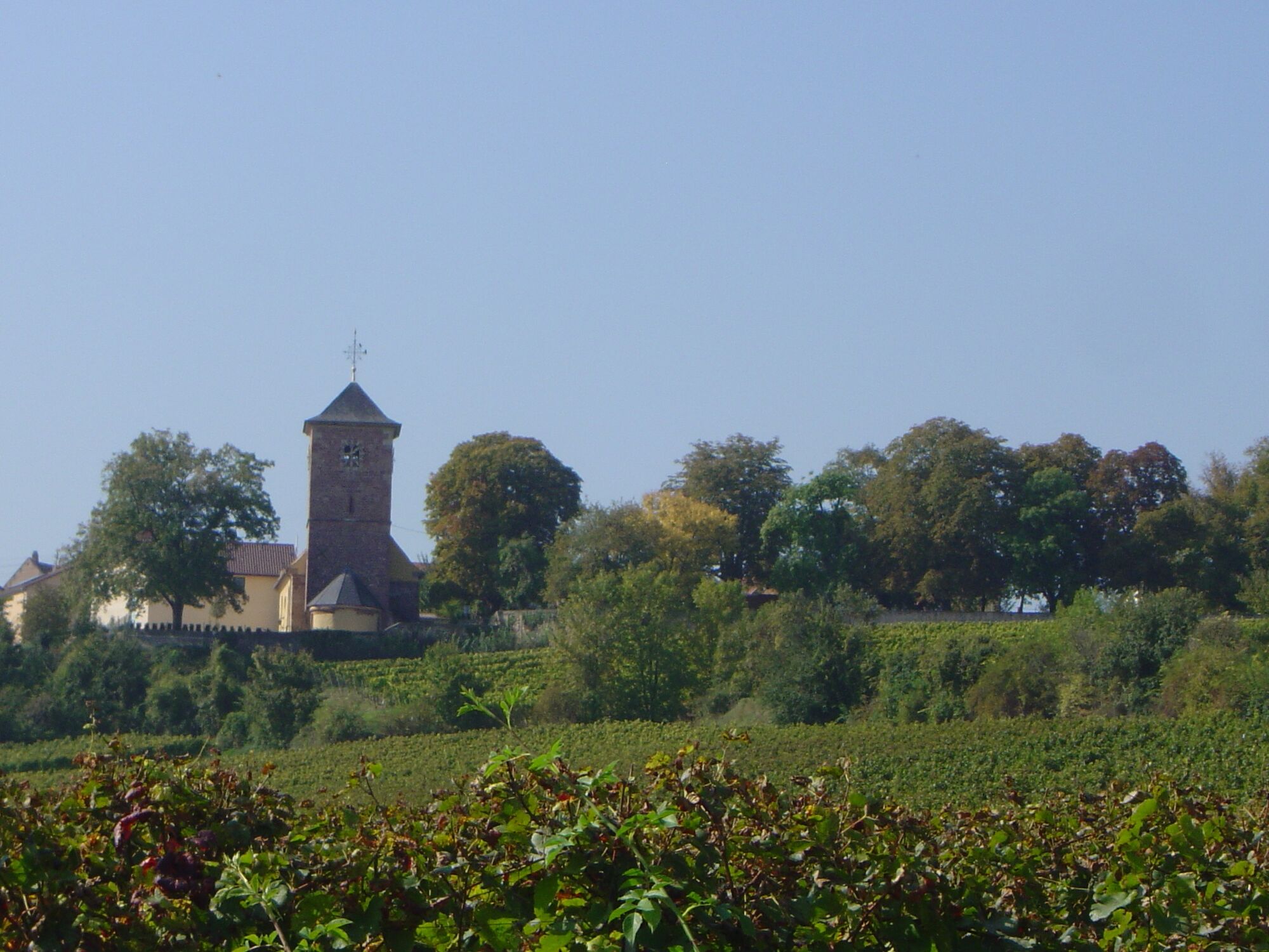
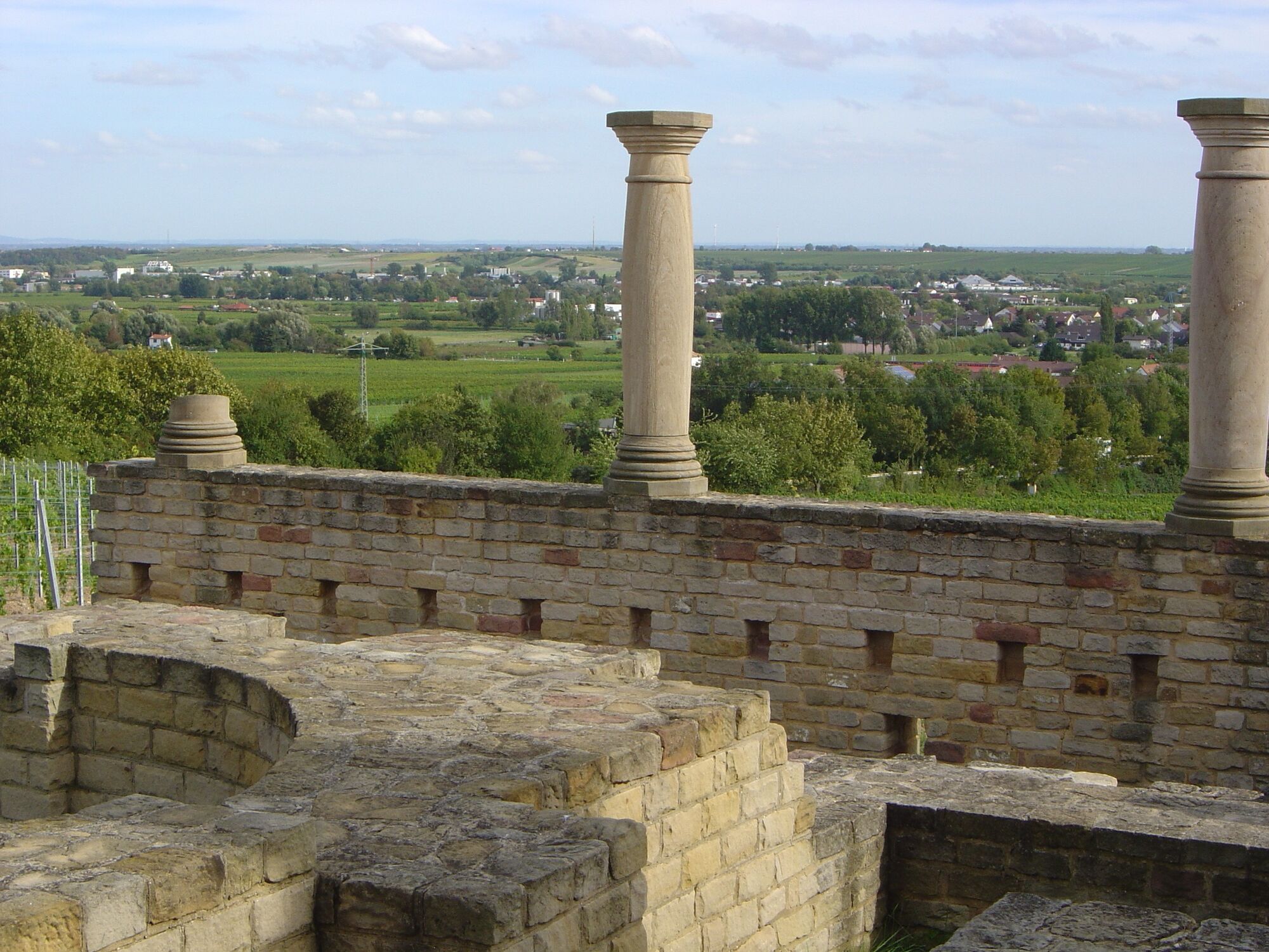
At the rainwater retention basin, cross the road (no crossing aid, please watch the traffic carefully). From here, follow the Saumagenweg straight ahead again (marking: stylized Saumagen) into the vineyards and reach a resting bench with a beautiful view (Station 10). When the Saumagenweg turns left, continue straight and then immediately turn right heading south until you meet the Rieslingweg again and follow it left for about a hundred meters. Then turn right onto an unpaved path and walk to a rest bench on the hillside edge (Station 11). You go left and pass the Roman press house (Station 12), then turn left and see the Roman winery, Villa Weilberg (Station 13). From the Roman winery, you follow the Mandelpfad (marking: pink almond blossom) north again to the left. At the Kallstadt lake (Station 14) you then meet the Saumagen and Rieslingweg again. Thus, the wine glass, Saumagen, and almond blossom markings will reliably lead you to Station 15, the St. Salvator church, the end of this informative hike.
Áno
Áno
Slip-resistant footwear and weather-appropriate clothing.
The path often runs on so-called agricultural roads. These are used for agricultural purposes and are driven on year-round by tractors and harvesting machines. We point out that use of the paths is at your own risk and ask cyclists, hikers, and winemakers to show mutual consideration in the interest of all. The agricultural roads can be soiled by agricultural traffic. After rainy days and especially in winter, the paths may be wet and slippery.
From the north:
Autobahn A6 (Mannheim/Kaiserslautern, exit Grünstadt) towards Bad Dürkheim, on B271 (Deutsche Weinstraße) via Herxheim am Berg to Kallstadt
From the south:
Autobahn A61 at the Ludwigshafen junction onto A650 towards Bad Dürkheim. At the end of the extended stretch, go straight towards the Trift/Grünstadt industrial area. At the 2nd traffic light, turn right towards Ungstein. At the roundabout, take the 3rd exit towards Ungstein/Grünstadt. After 50 m, turn right towards Kallstadt (B271).
Bus line 453 from Bad Dürkheim or Grünstadt, stop Kallstadt/Church
Timetable information www.vrn.de
Parking lot at the "Platz der 100 Weine" in the town center between the church and the tourist information (parking limited from 12 p.m. for 3 hours) or parking lot at the cemetery (turn into Friedhofstraße at the level of the wine cooperative from Weinstraße, parking possible without time limit).
After the vineyard walk, a visit to the wine villages of the Freinsheim holiday region with its diverse gastronomy and dozens of directly marketed wineries is worthwhile.
If you enjoyed the interactive tour with audio and video information, we also recommend the similarly designed . Or perhaps a forest hike? Our is a premium hiking trail about 10 km long in the forest area of the villages of the holiday region. This path is also equipped with additional audio and video information. The starting point is the hiking car park at the Forsthaus Lindemannsruhe, about 4 km west of Kallstadt.
Získajte prehľad
Vždy naživo na mieste s viac ako 9 500 webovými kamerami. bergfex Ako používateľ Pro si teraz môžete pozrieť príslušné webové kamery pre mnohé zájazdy v aplikácii zájazdy z. Môžete si tak priamo prezerať aktuálne podmienky.
Obľúbené výlety v okolí
-
4,0
Ganerbenweg - Premium circular hiking route in the Freinsheim holiday region
strednáTuristika 10,5 km -
4,5
From Deidesheim over the Heidenlöcher to Eckkopf
strednáTuristika 14,6 km -
Wachenheim - Eckkopf - Heidenlöcher - Wachenheim
strednáTuristika 12,8 km -
4,5
Wachenheimer Valleys Route to Oppauer Haus
strednáTuristika 11,7 km -
4,8
Zum Saupferch - Jägerthal - Drachenfels - Lambertskreuz
strednáTuristika 10,1 km -
5,0
Circular route through forest and vineyard: Weisenheim am Berg - "Wine, Forest, Ungeheuer"
strednáTuristika 12,5 km -
3,5
Thomas‘ Waldweinstube über die Wachtenburg
svetloTuristika 4,81 km -
5,0
Leininger Castle Trail - Premium hiking trail with audio and video stations
ťažkéTuristika 22,3 km -
3,5
Leininger Monastery Trail - Premium hiking trail with audio and video stations
strednáTuristika 15,3 km -
Palatinate Wine Steig Stage 03 Bad Dürkheim - Deidesheim
strednádiaľková pešia trasa 15,2 km
Turistika a stopovanie


Nenechajte si ujsť ponuky a inšpiráciu na ďalšiu dovolenku
Vaša e-mailová adresa bol pridaný do poštového zoznamu.





