


3-day hut route - day 3
Úroveň náročnosti: T2


On the third day, continue well-rested. Depending on which hut you stayed overnight, the route length varies. Along the Salzburg alpine pasture path, pass the Henerbichlalm (not managed) to Henerbichl....
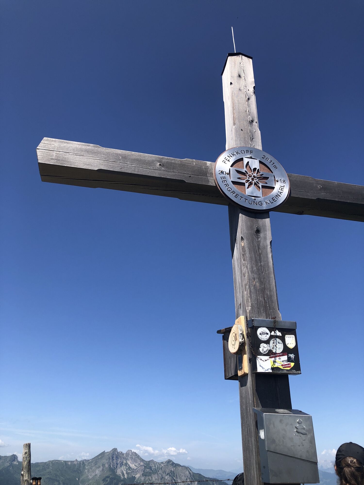
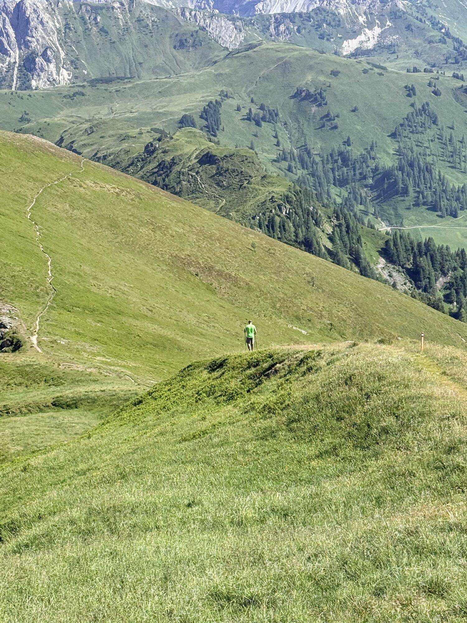
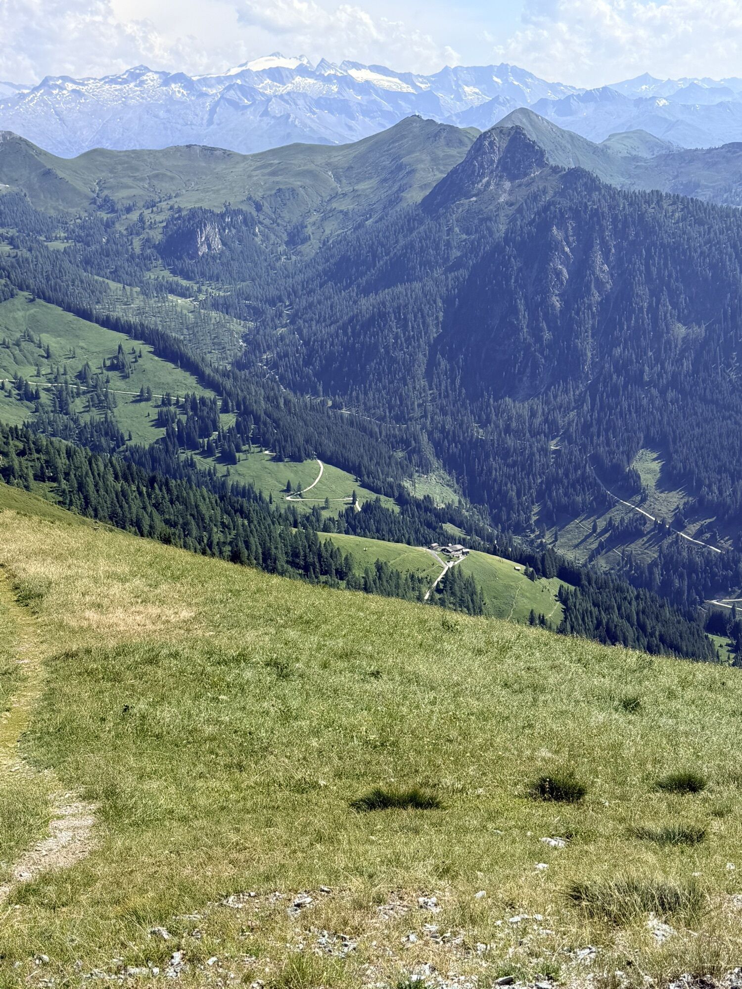
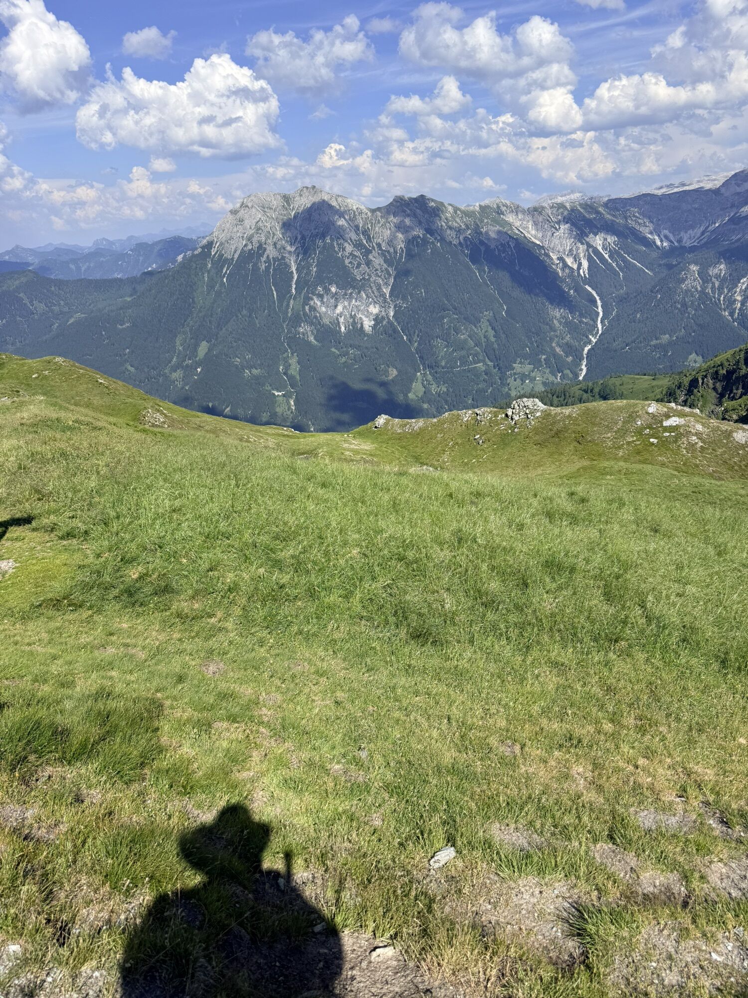
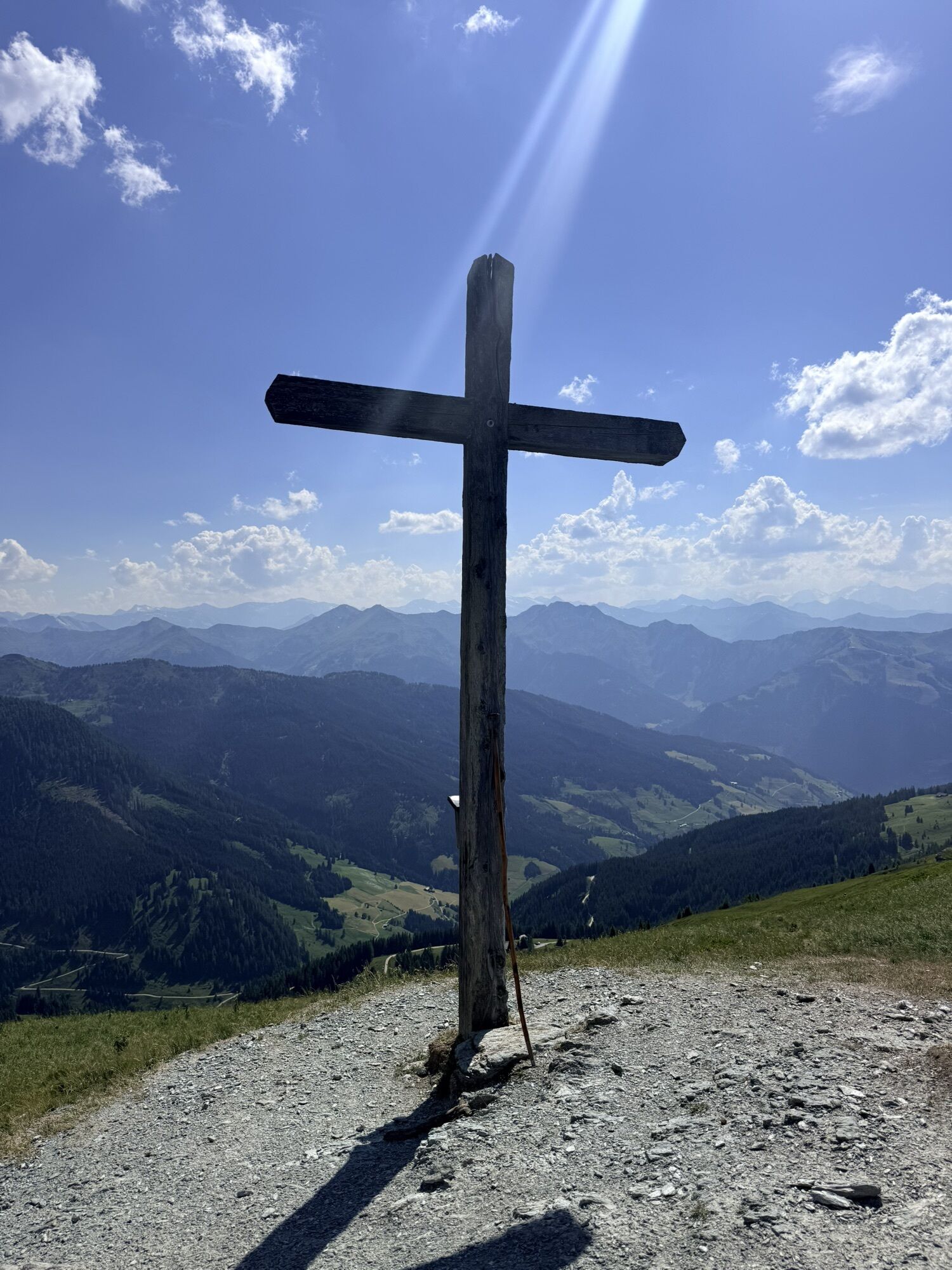
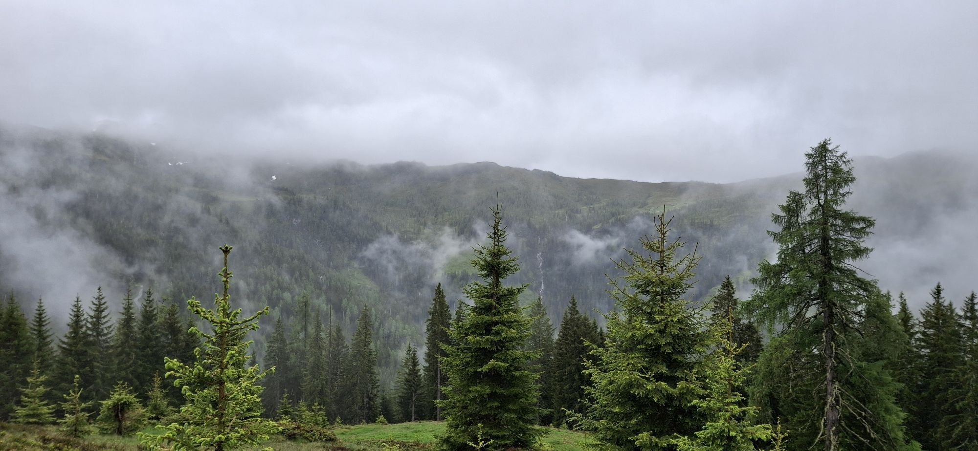
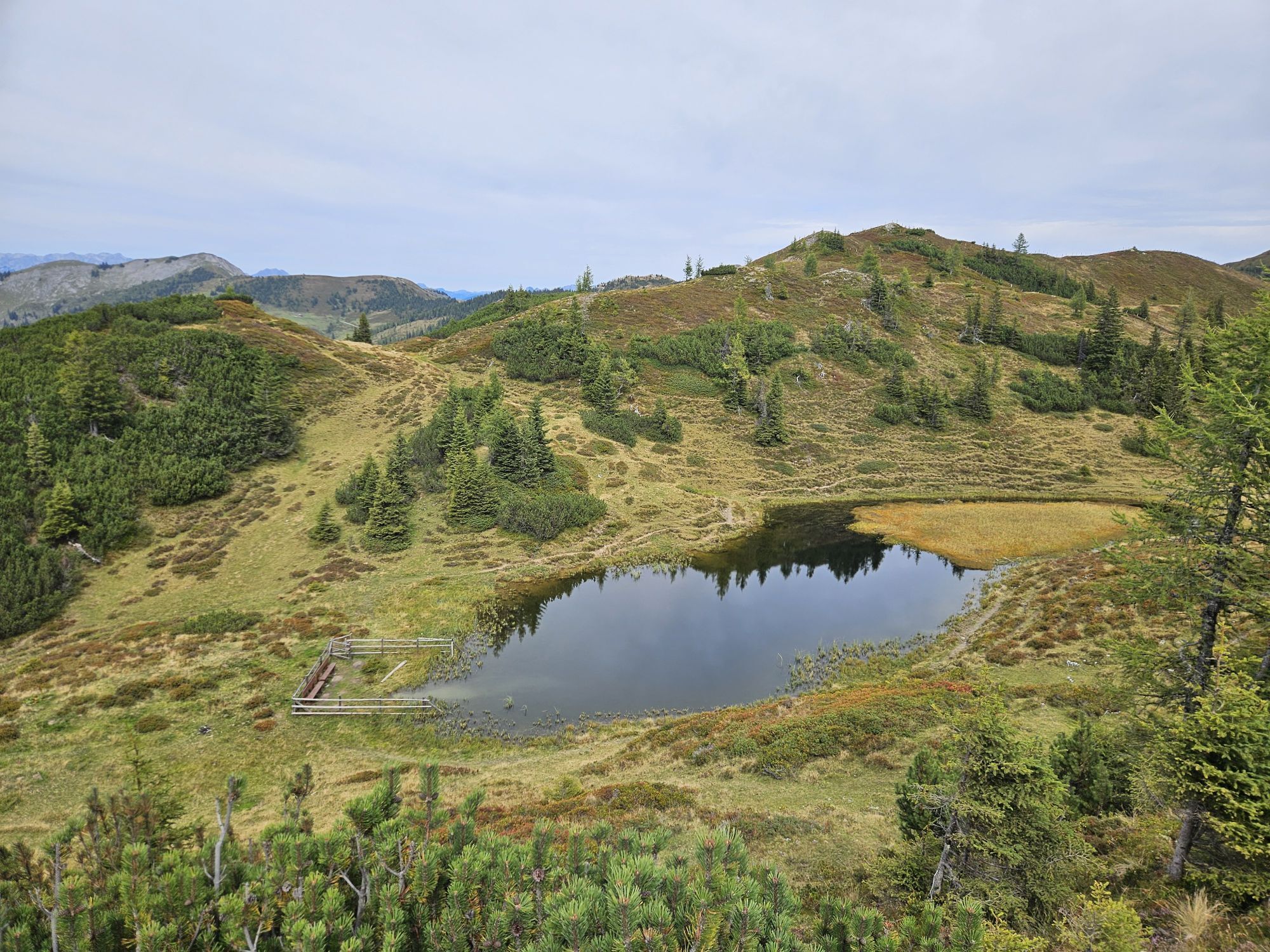
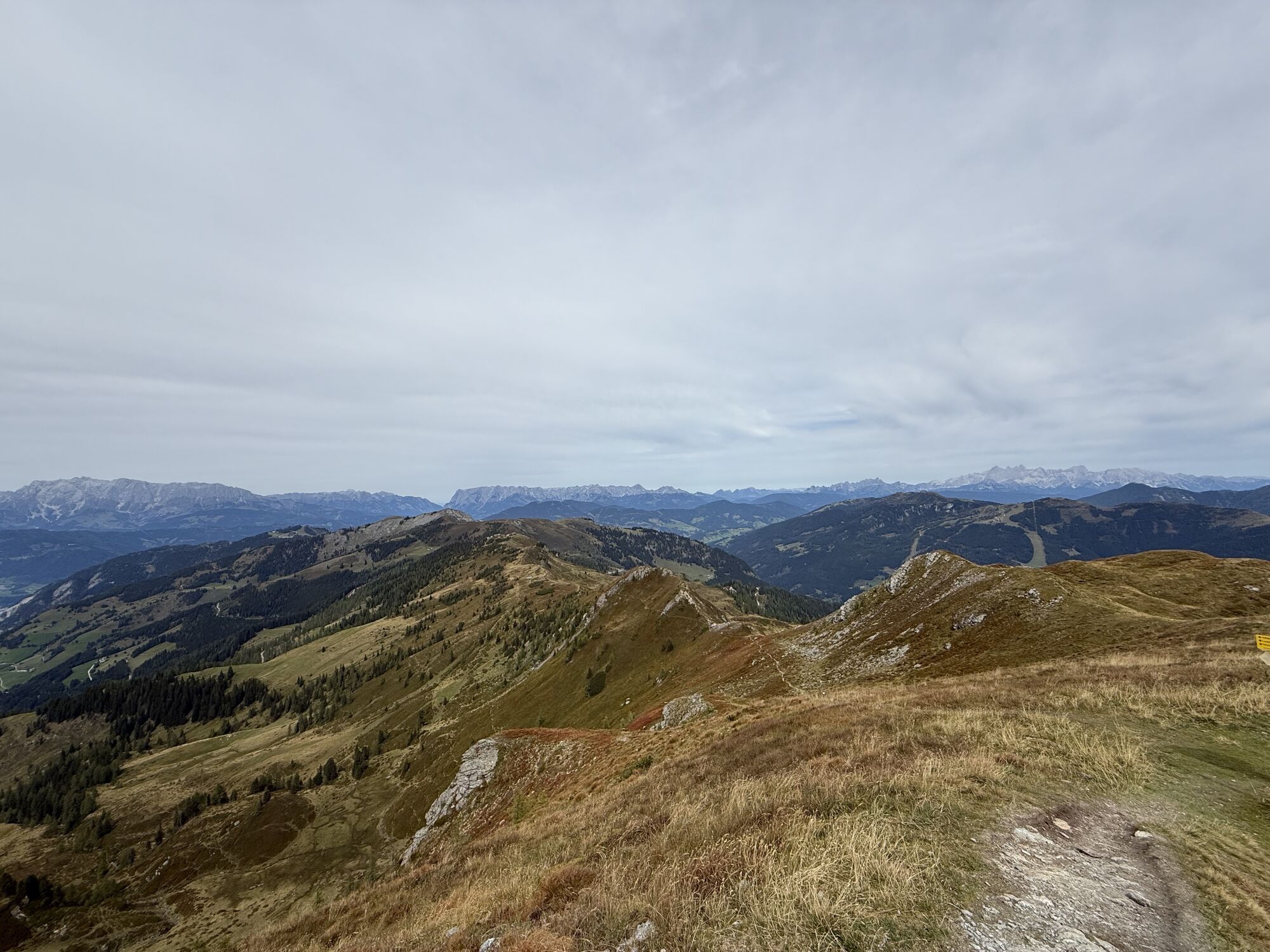
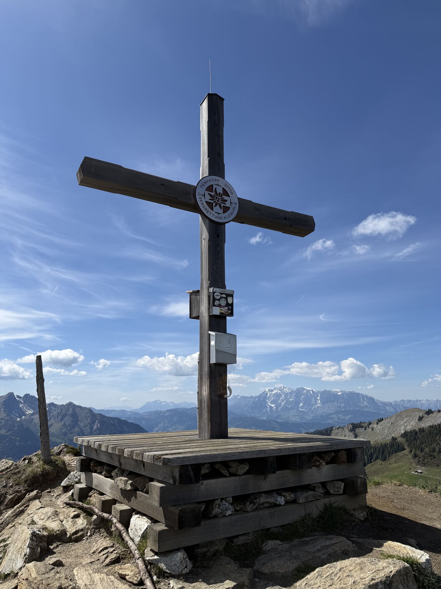
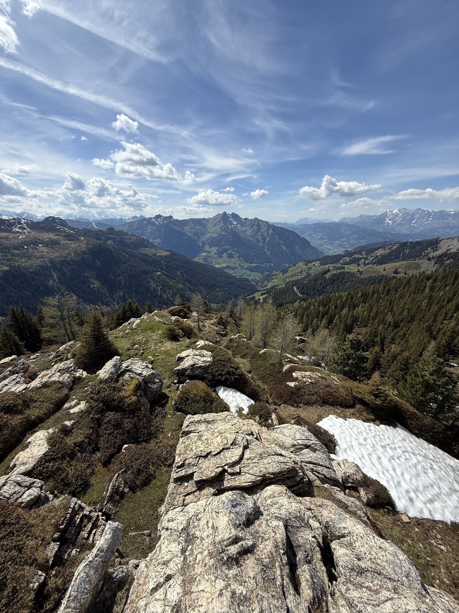
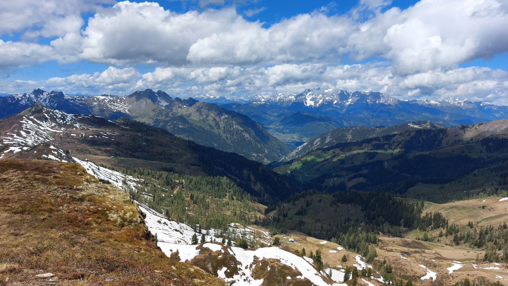
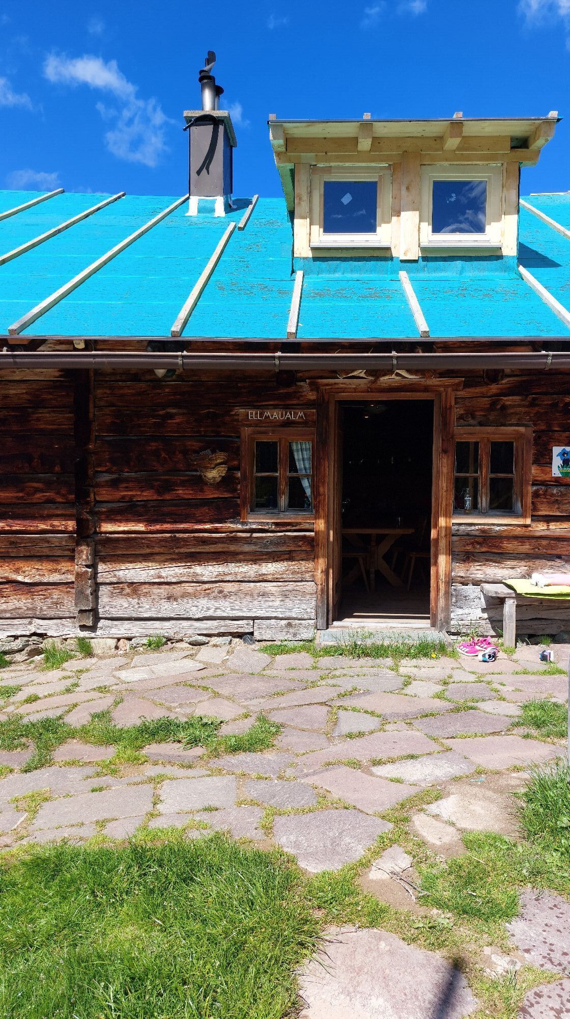
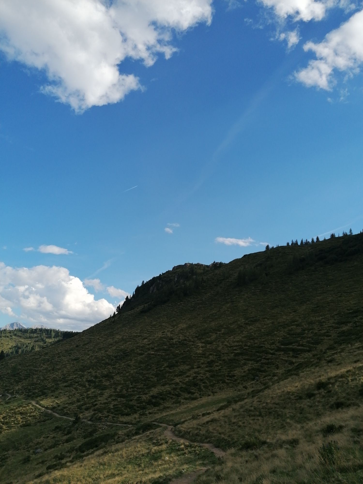
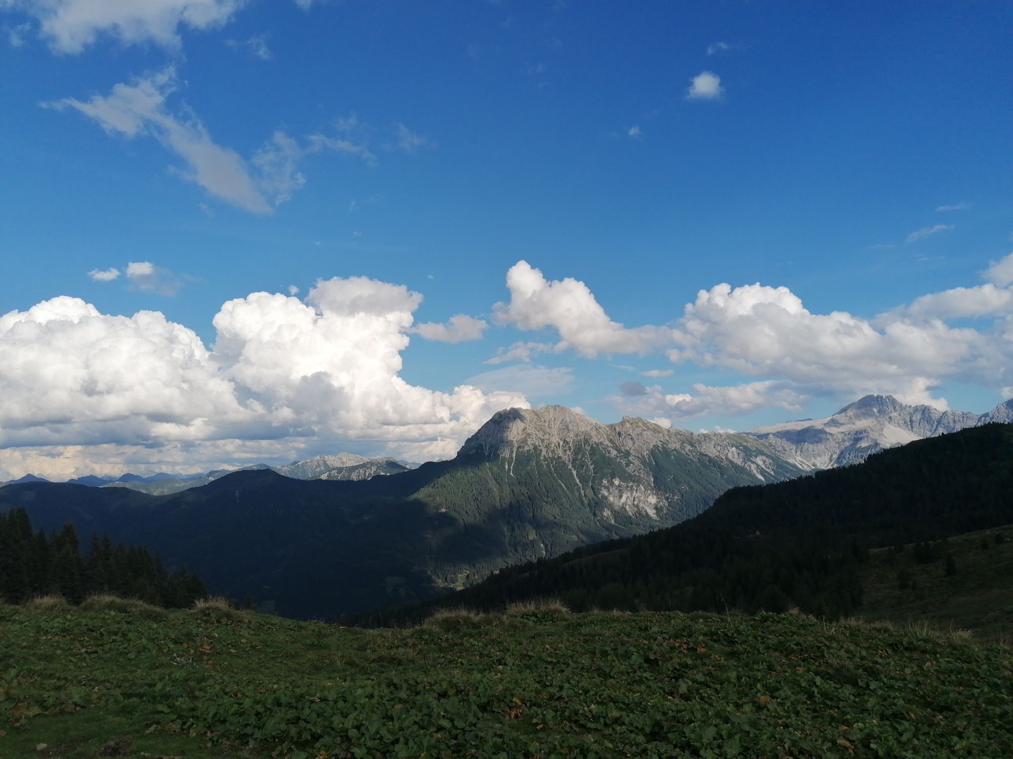
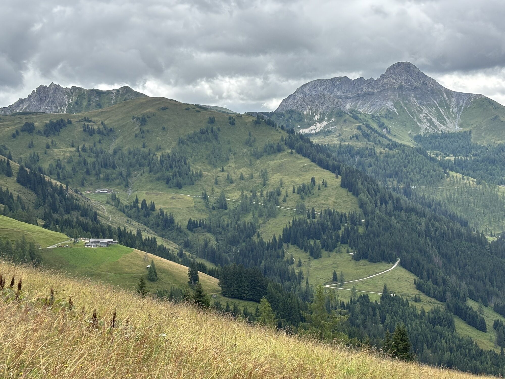
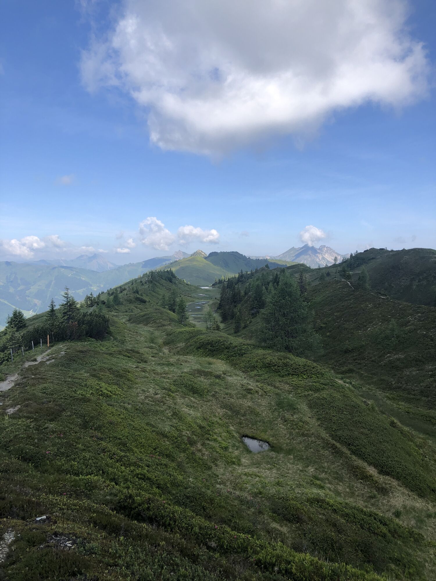
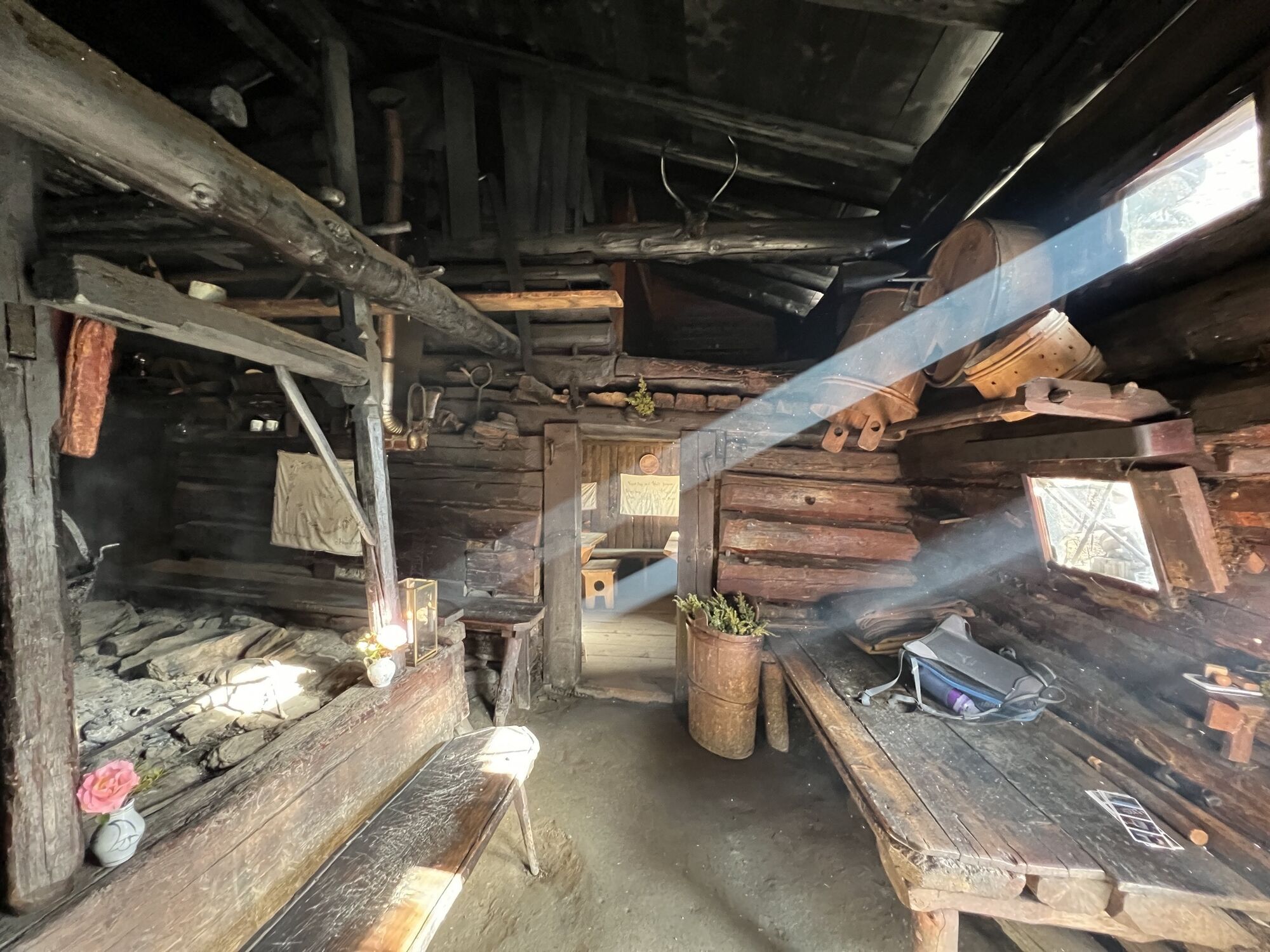
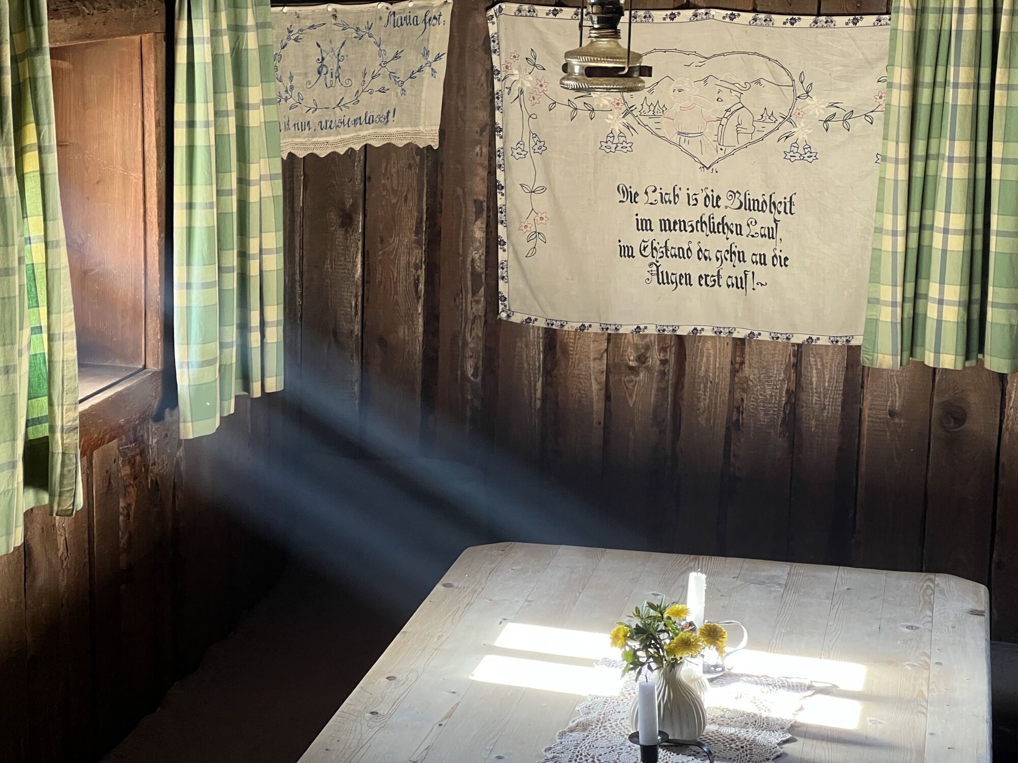
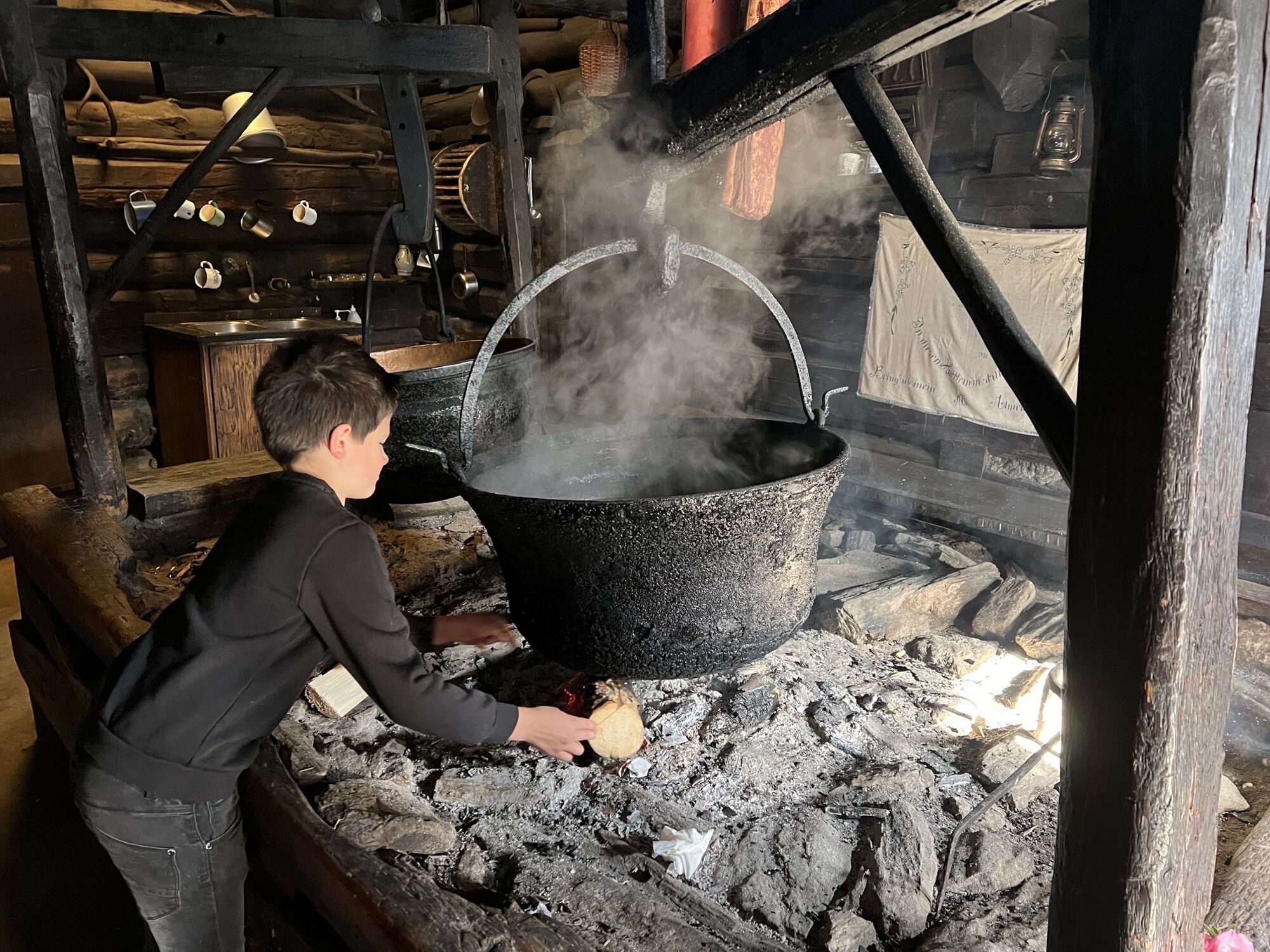
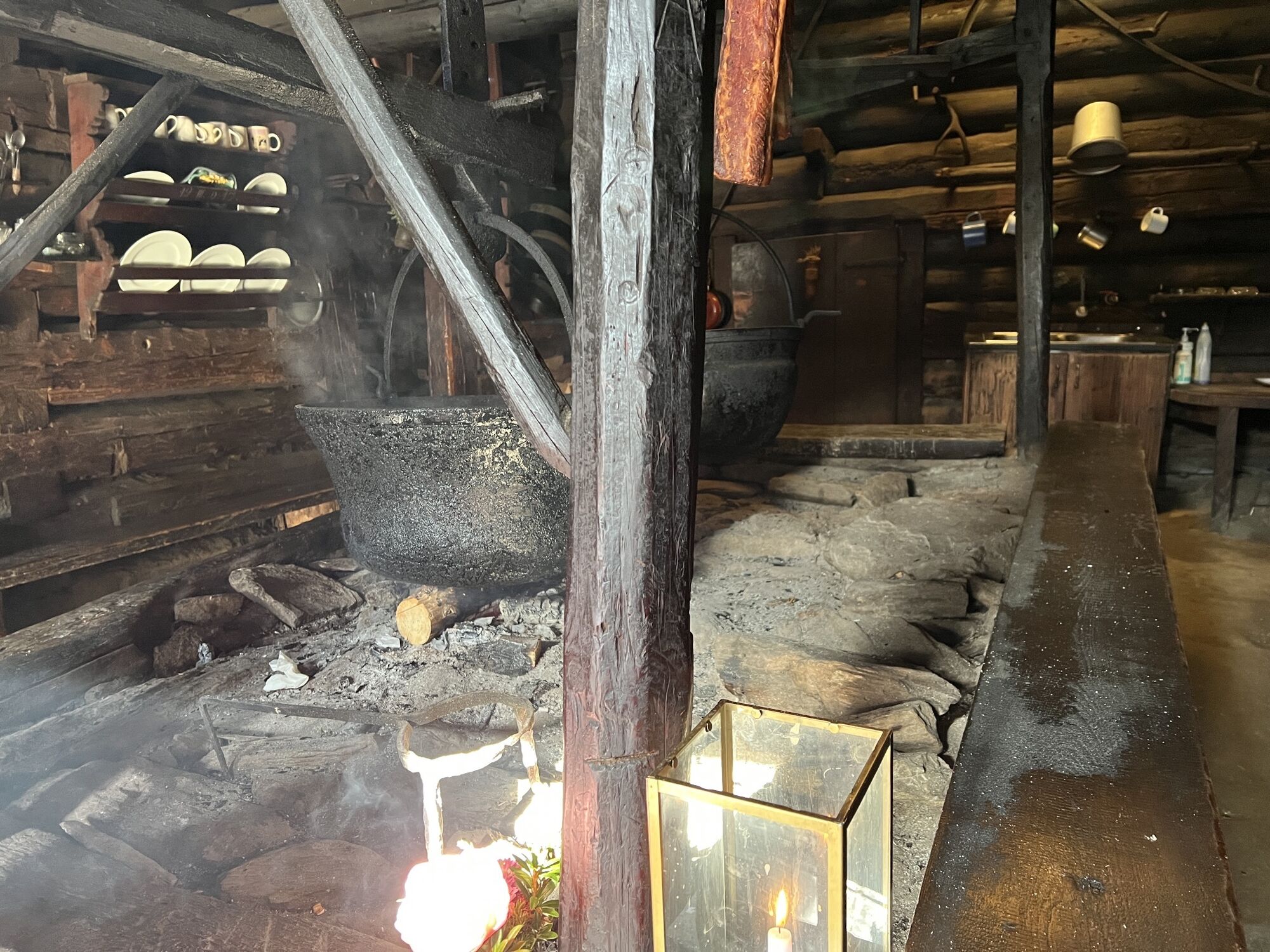
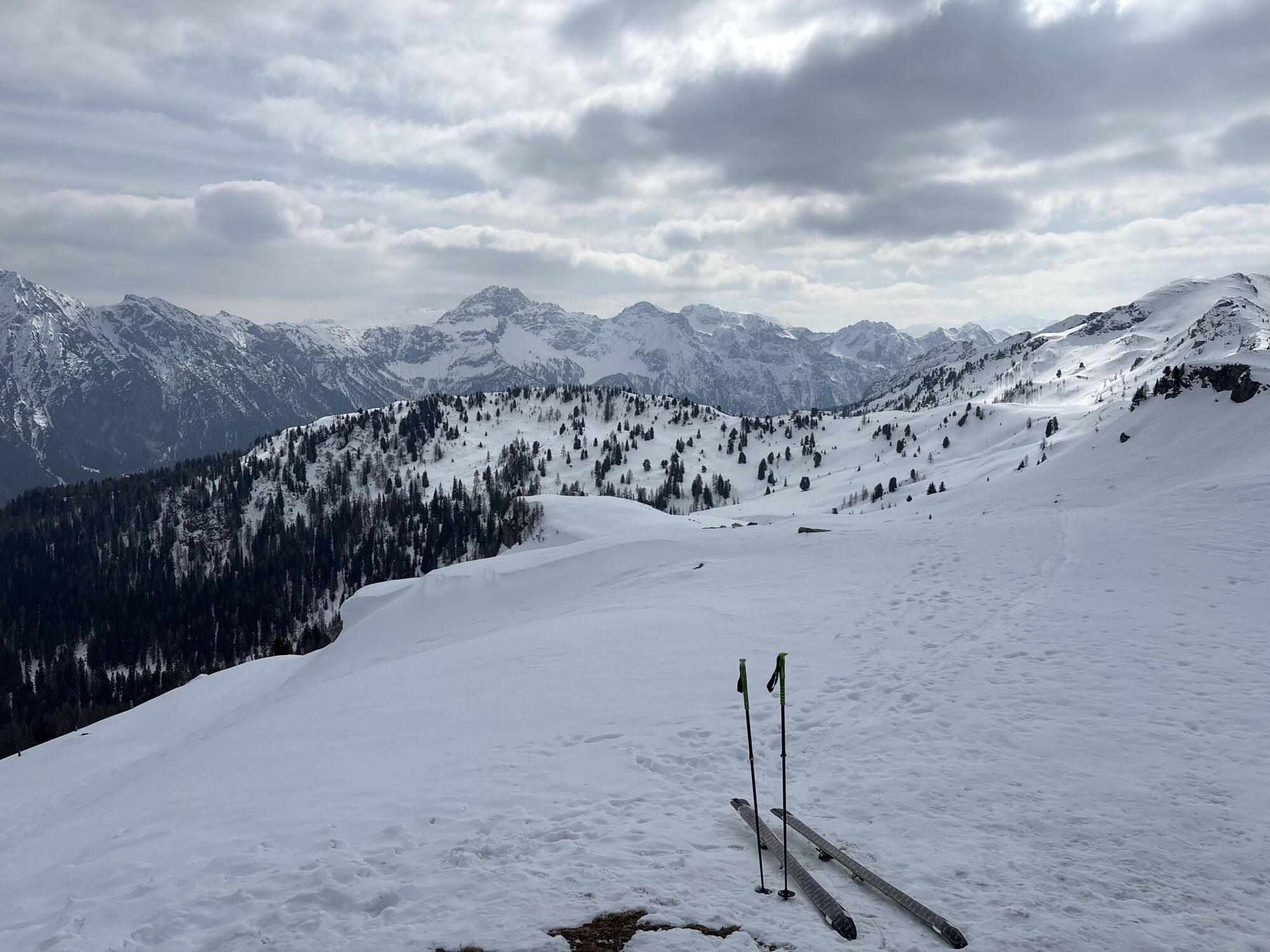
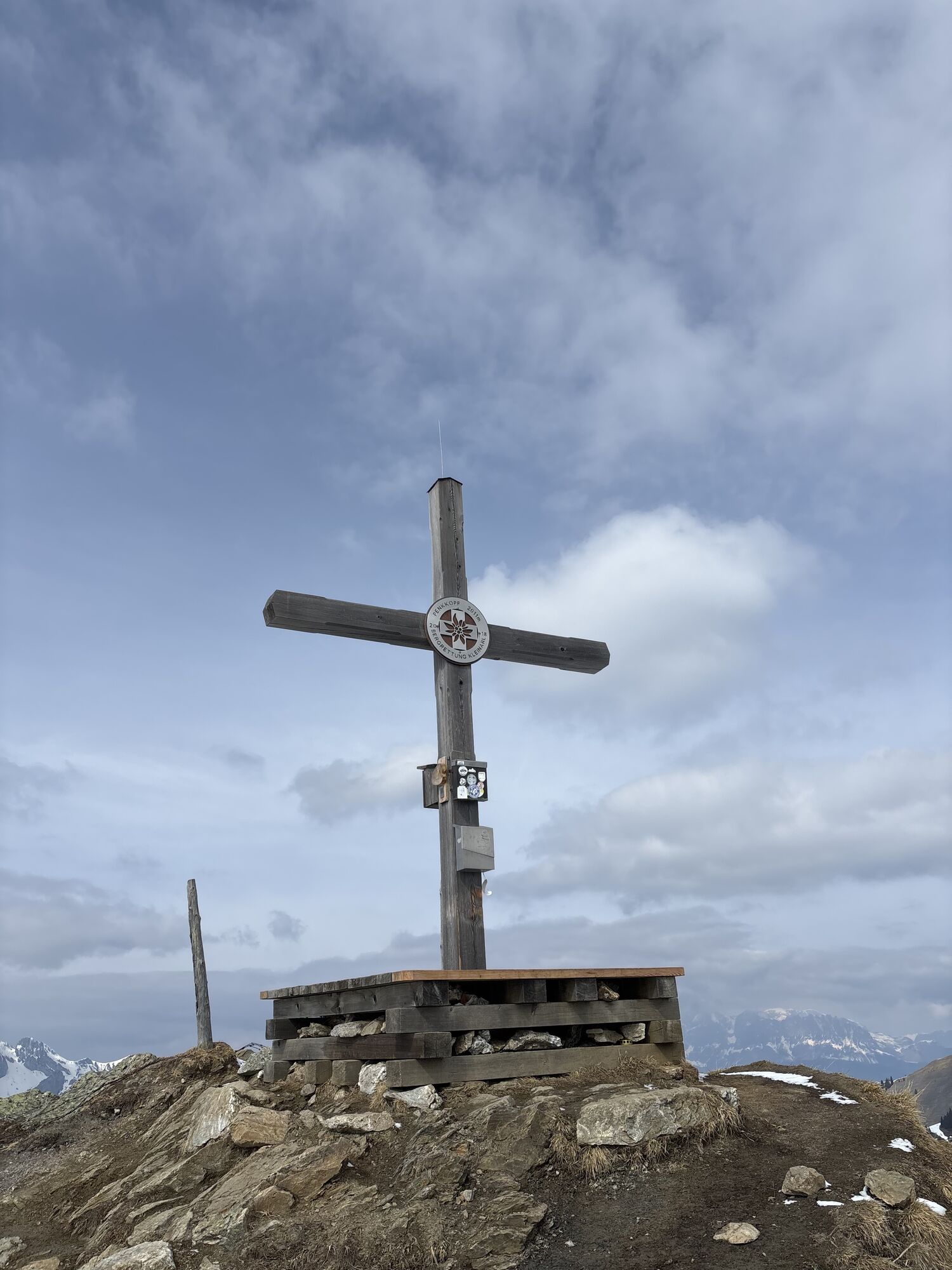
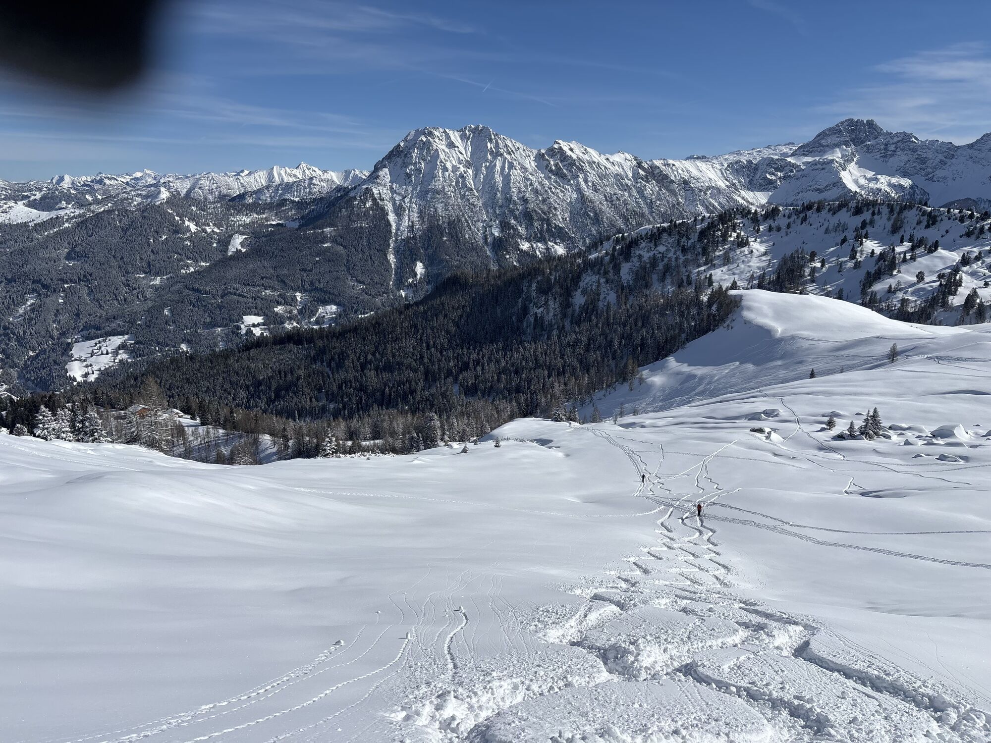
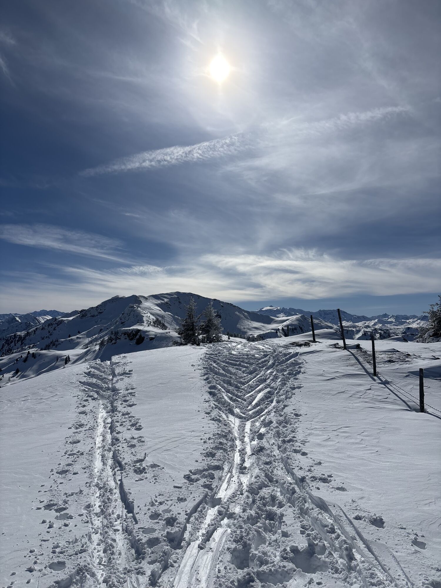
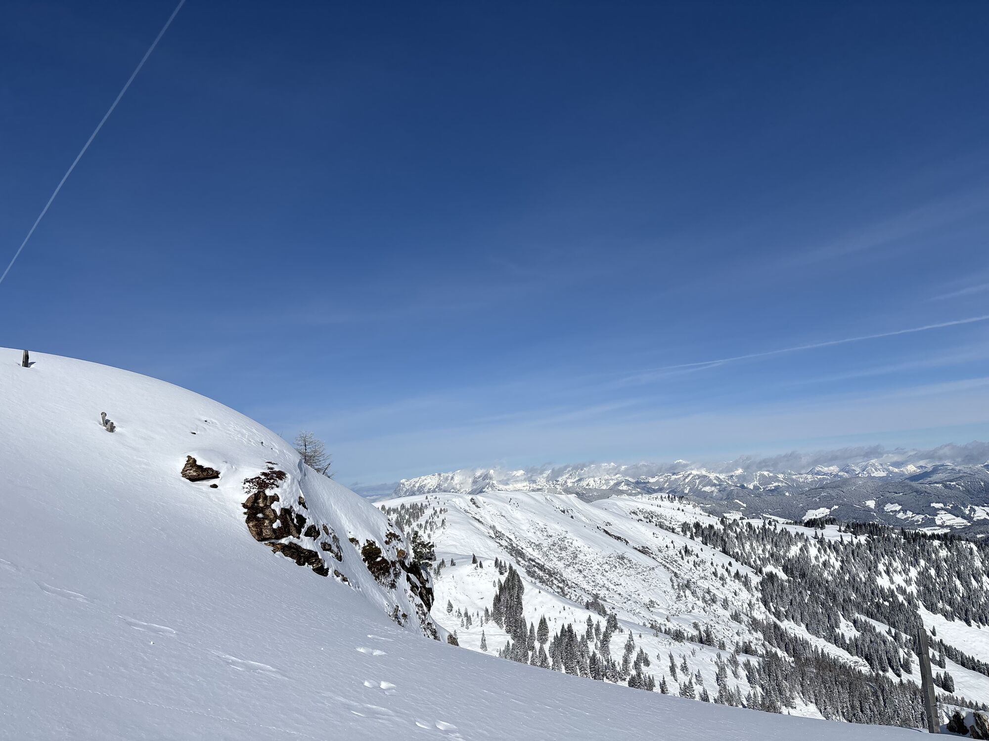
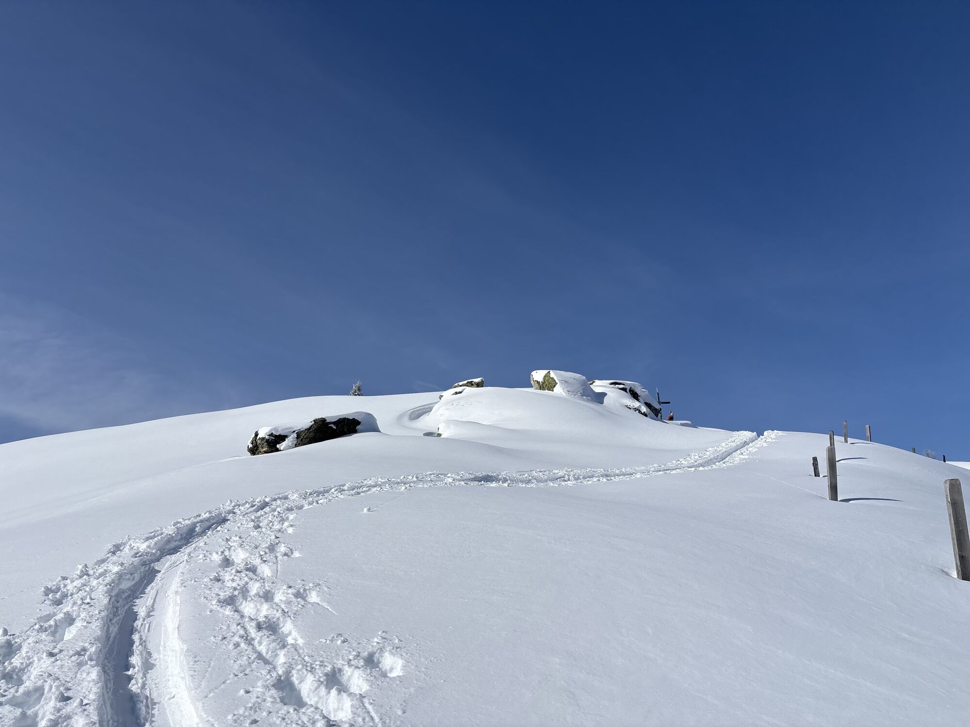
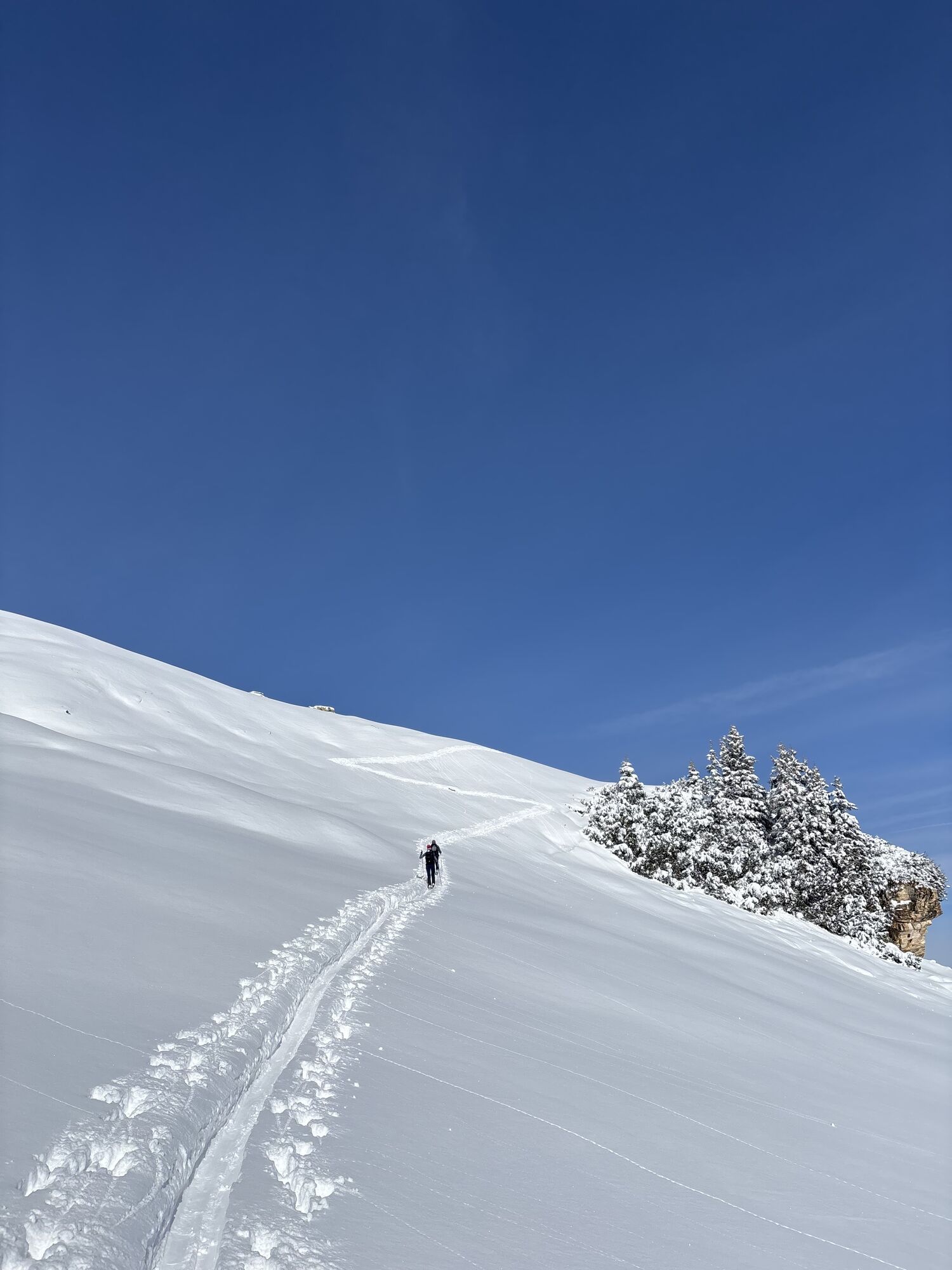
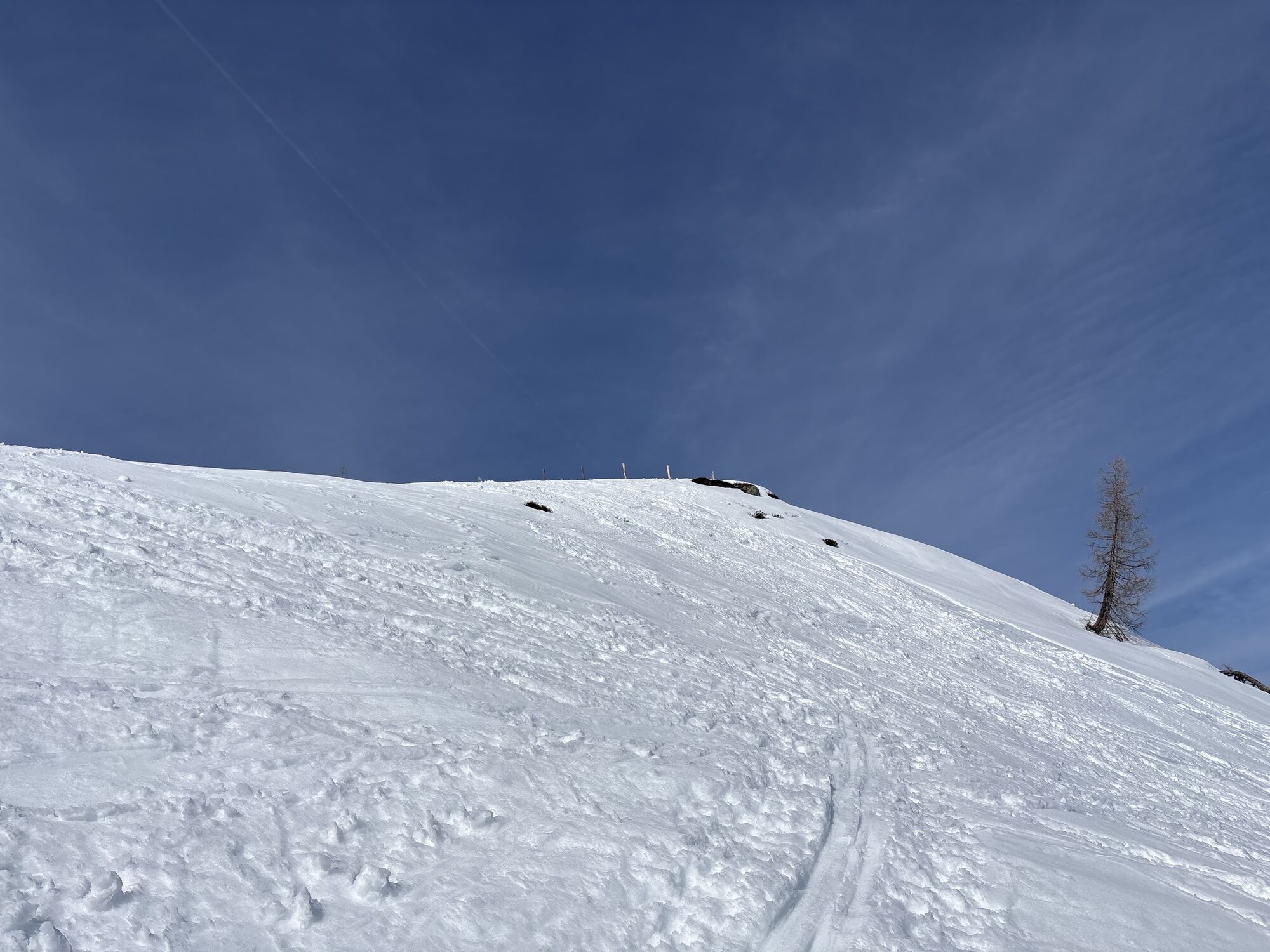
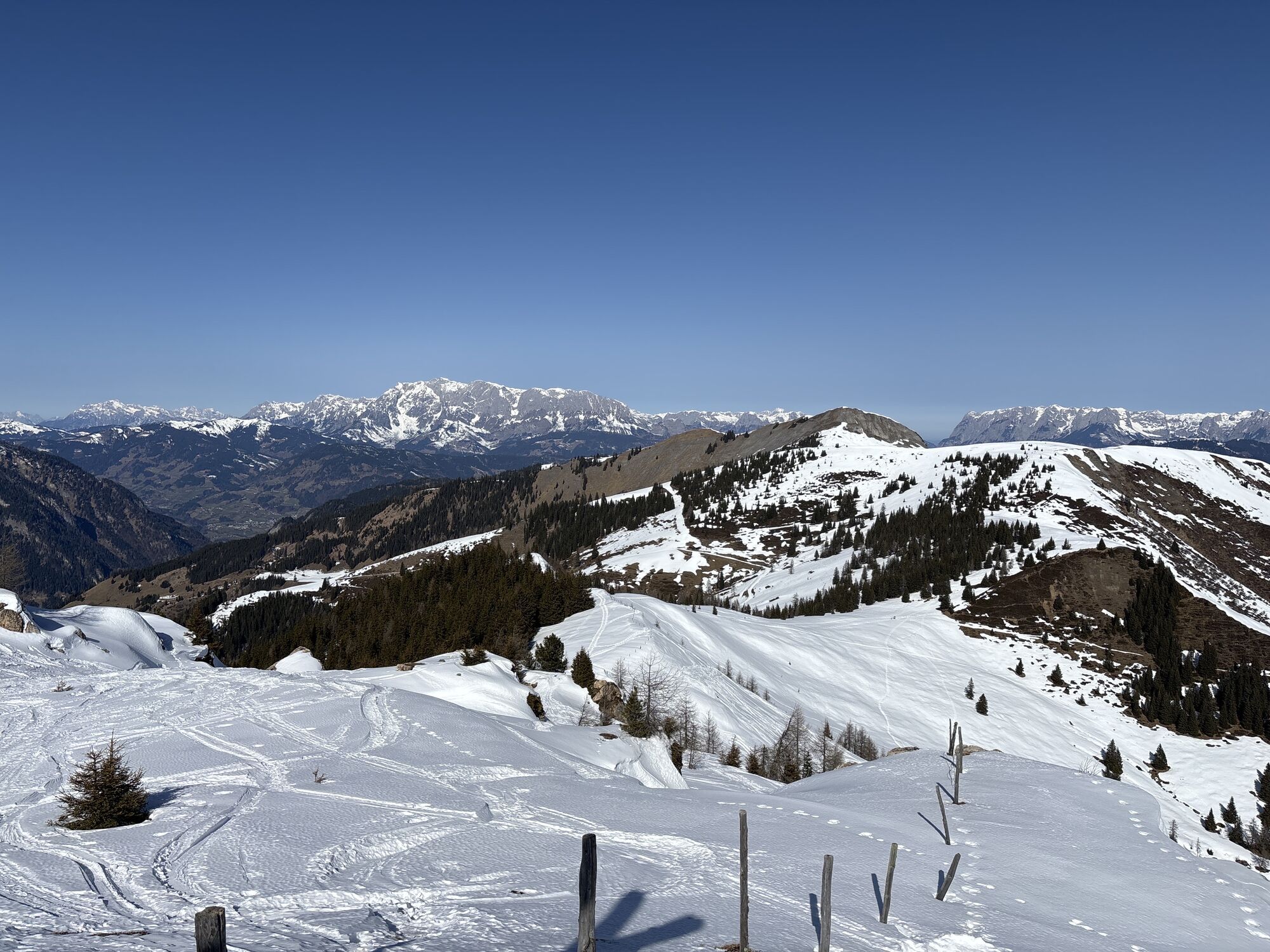
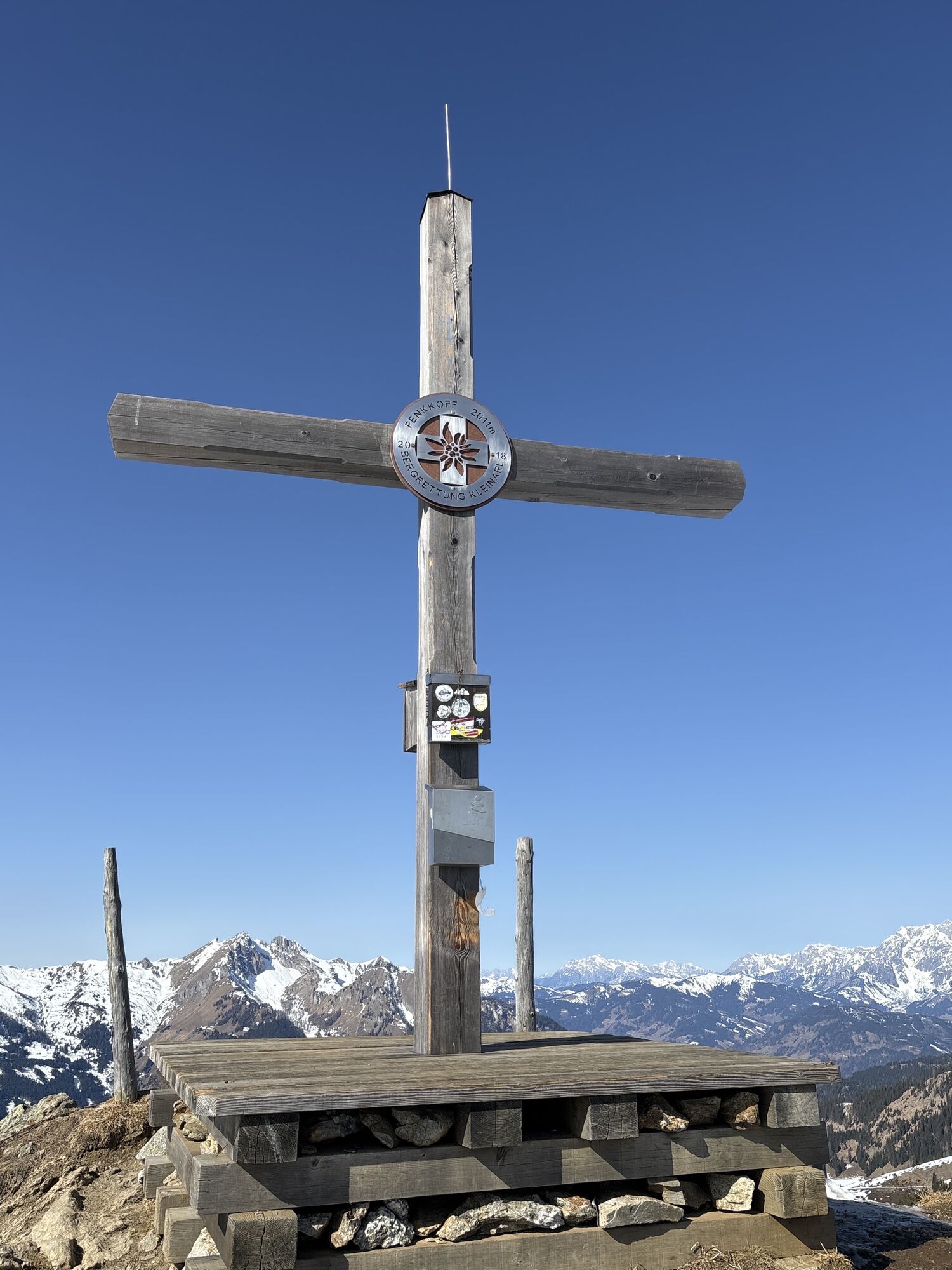
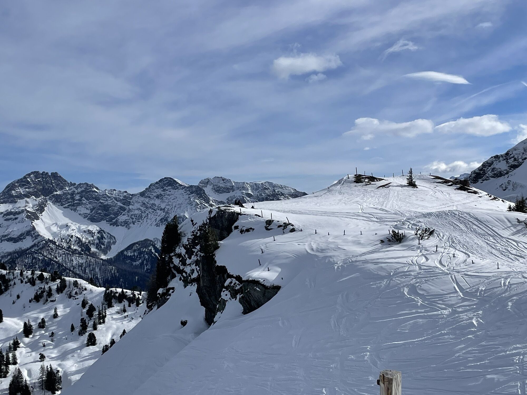
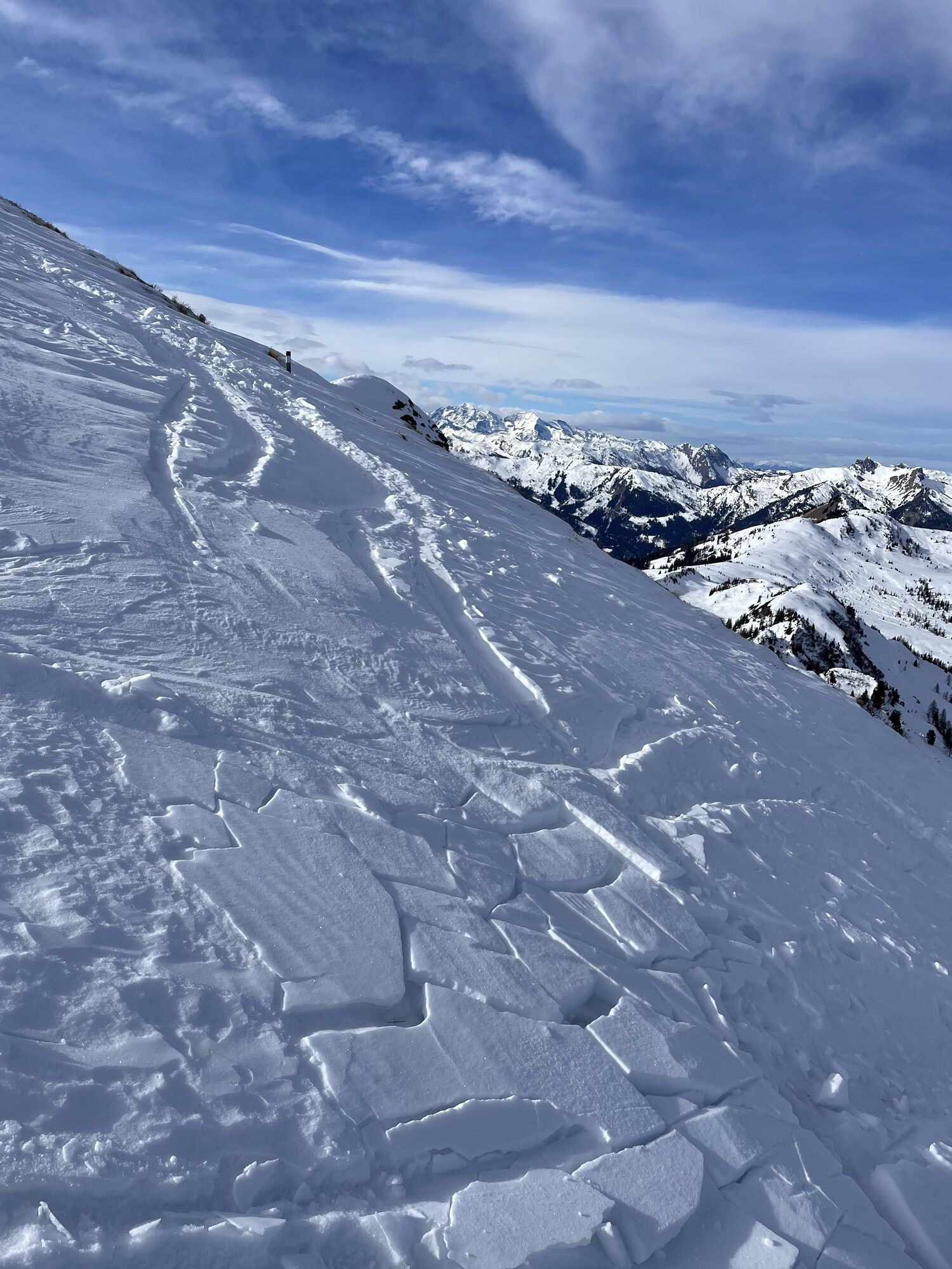
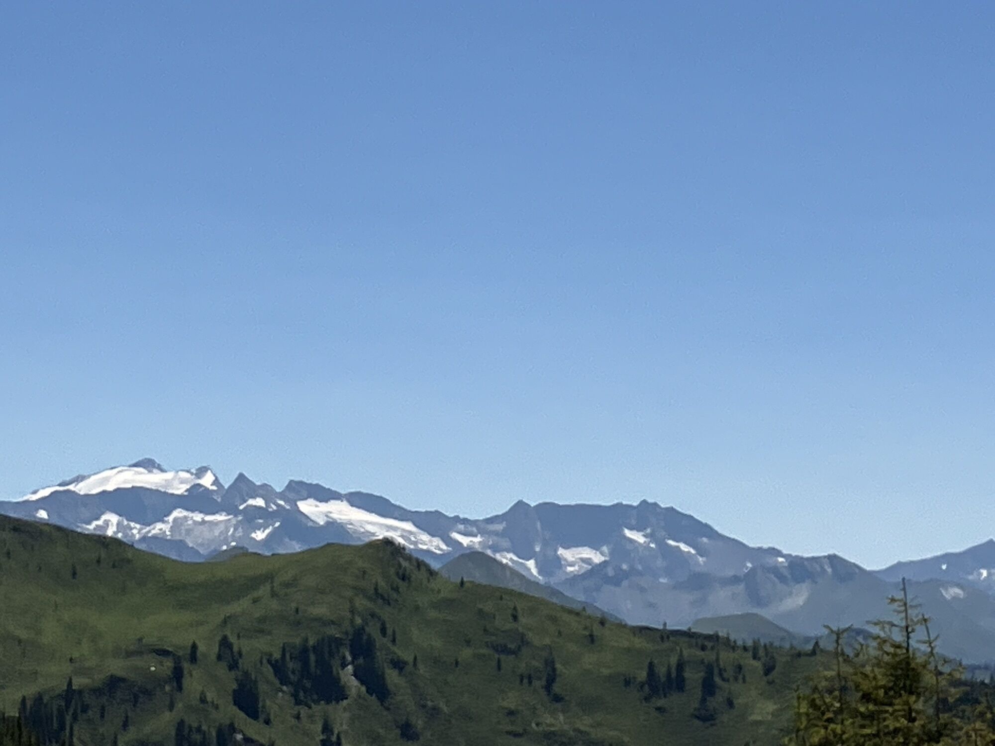
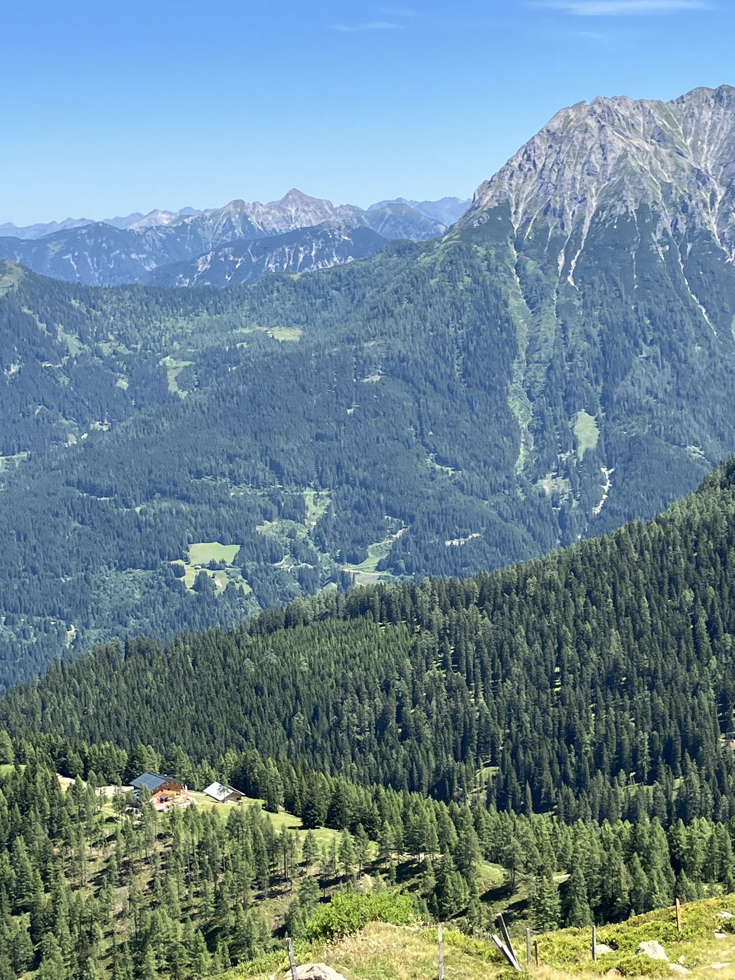
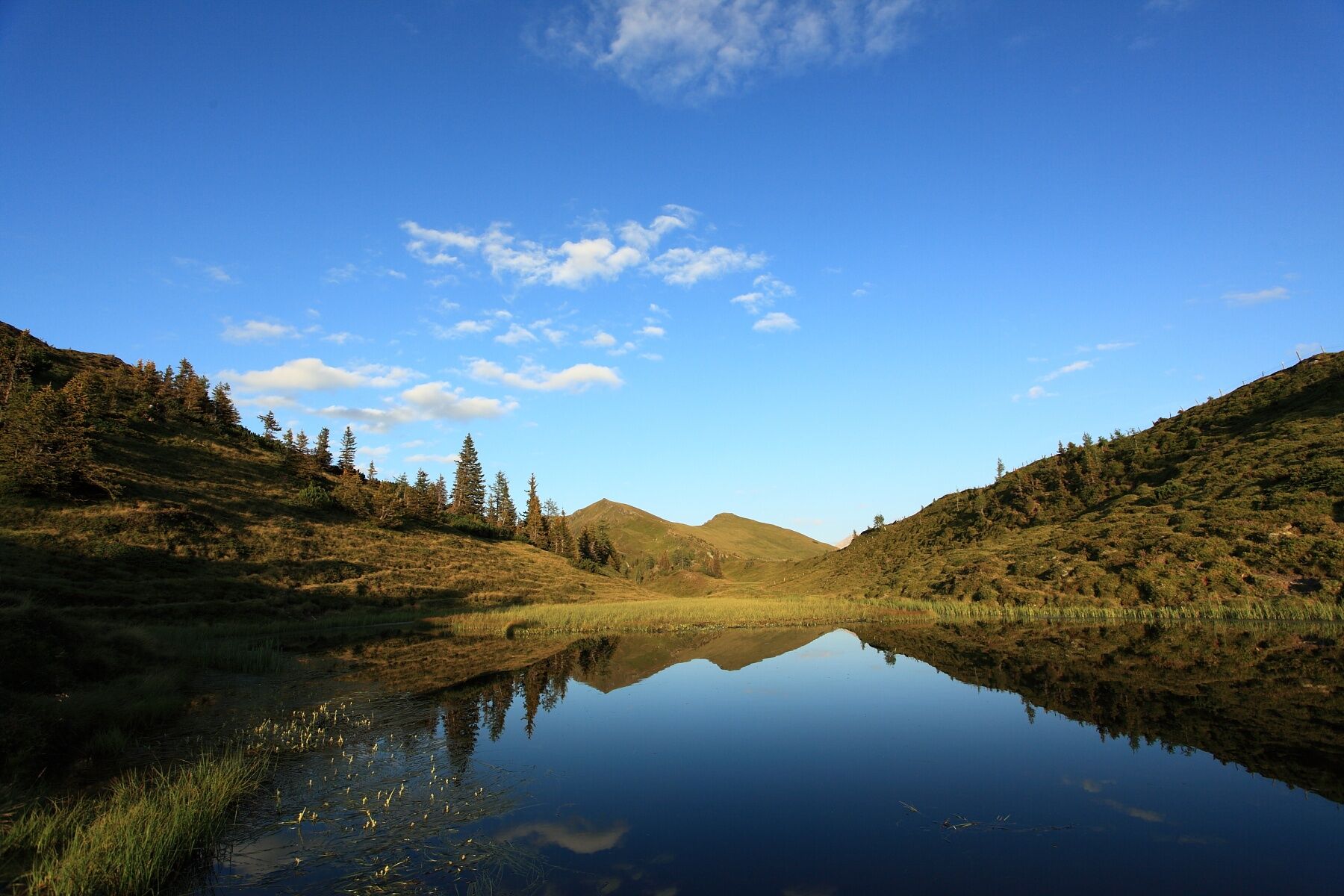
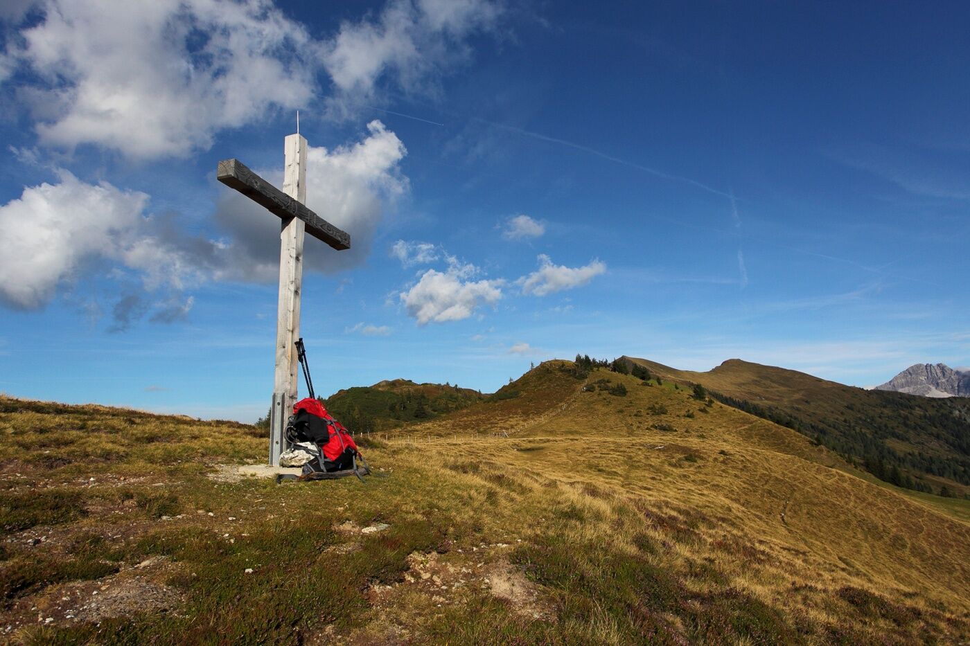
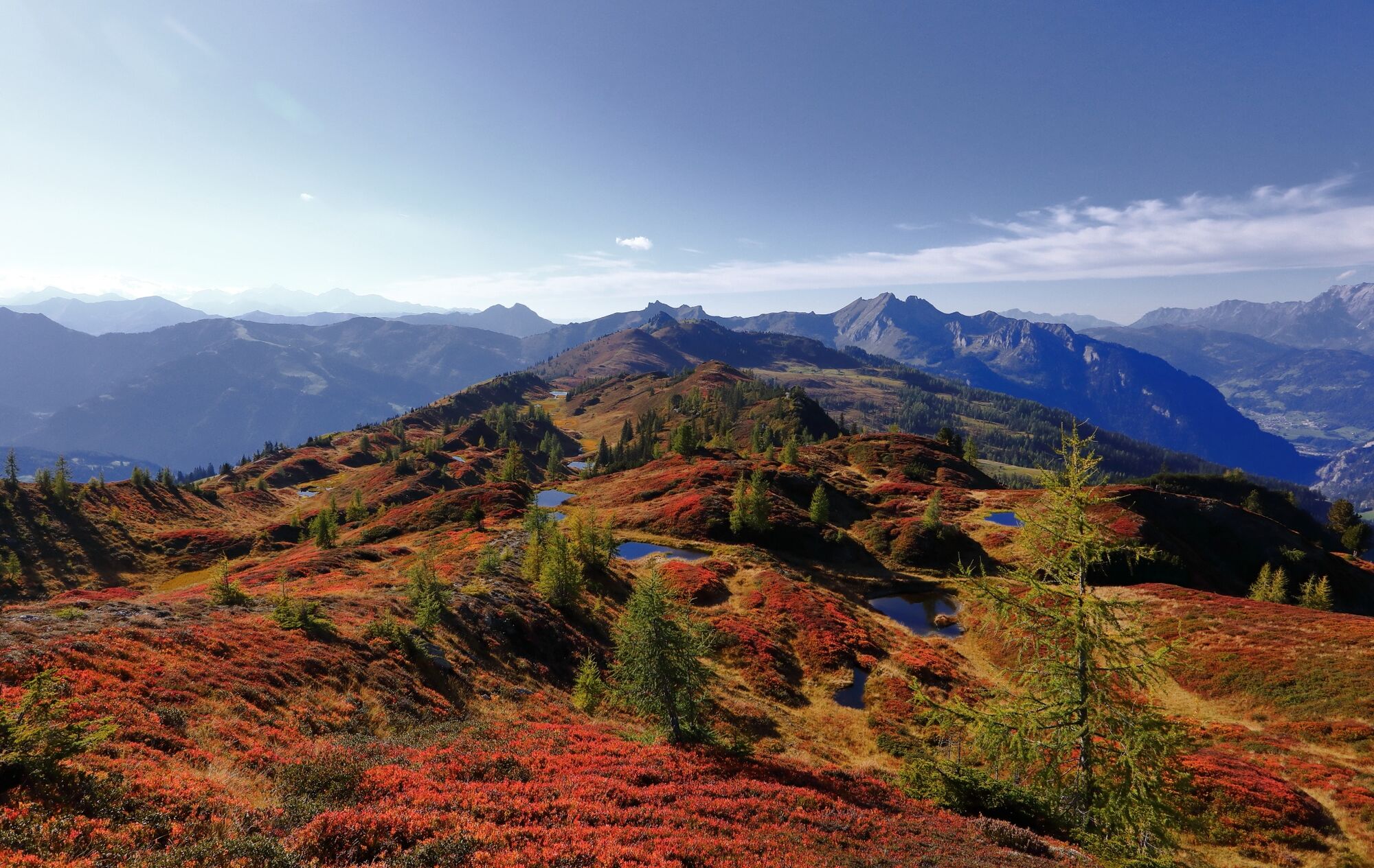
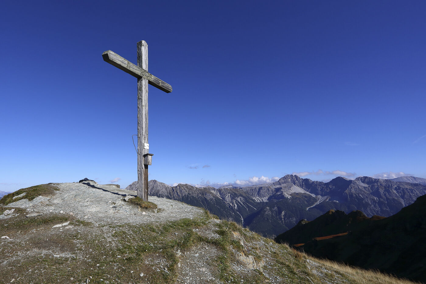
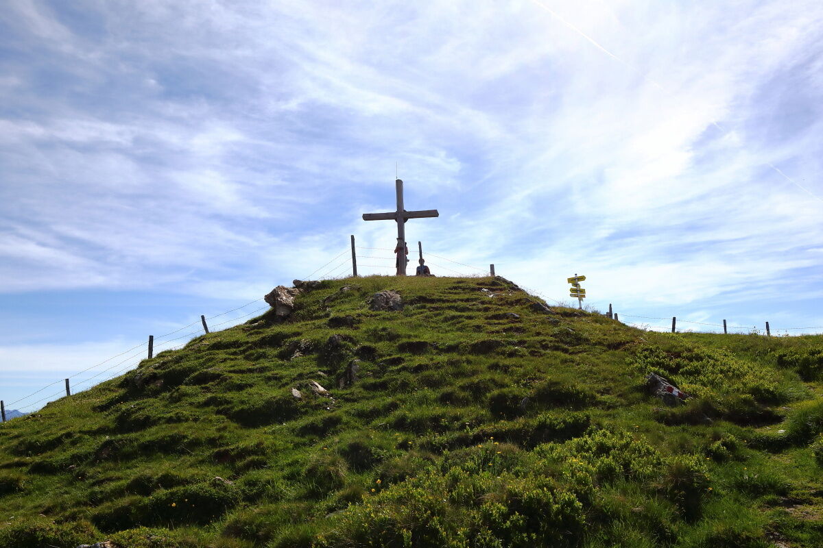
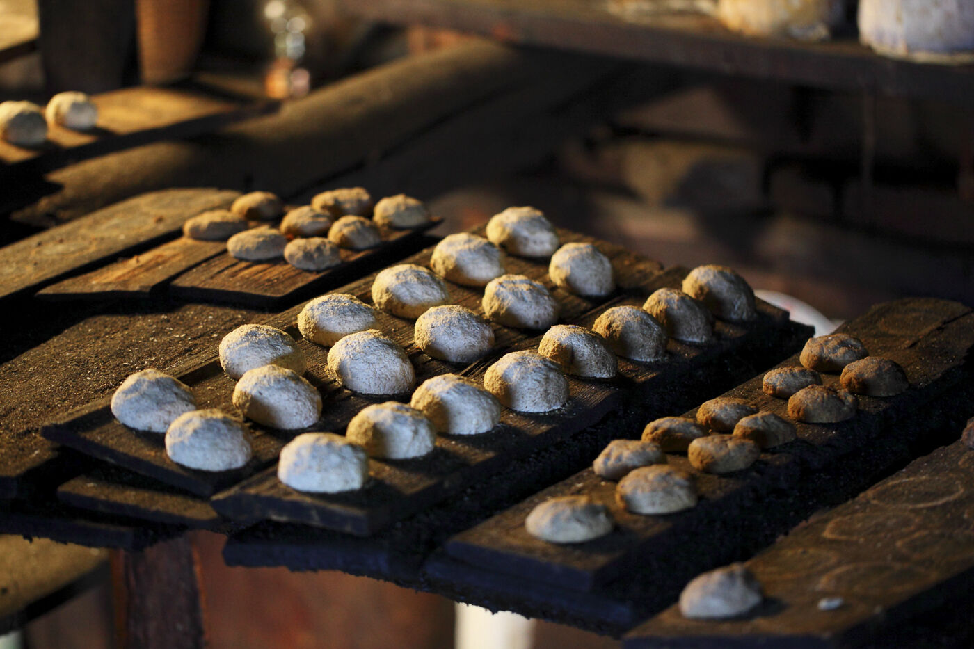
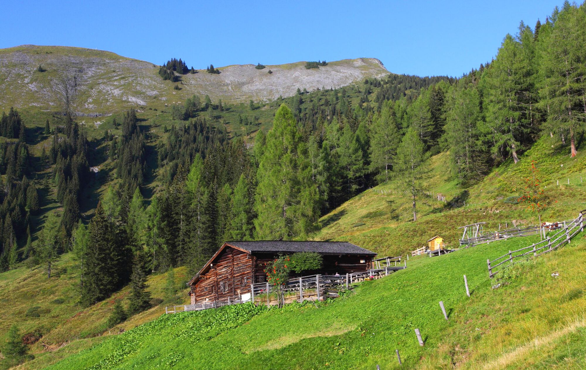
On the third day, continue well-rested. Depending on which hut you stayed overnight, the route length varies. Along the Salzburg alpine pasture path, pass the Henerbichlalm (not managed) to Henerbichl. From here, it's an easy path to the Trögseen lakes. These "Lacken" are small moor lakes, which are especially refreshing for the feet in midsummer. Along the ridge, you reach Gründegg. From here you have a wonderful view of the surrounding mountain world. Continue along the mountain ridge to Penkkopf, where you have a magnificent panoramic view from Hochkönig, over the Tennen and Hagen mountain ranges to the High Tauern mountains. Descent via Promau- and Oberwandalm (both not managed) to Karseggalm. Karseggalm is probably one of the coziest huts in the entire Alpine region and with its approx. 400 years also one of the oldest. The floor inside the alpine hut is laid with clay and tree bark, and there is still an open fireplace. Here a specialty from the Großarl valley is made: the Knetkäse (kneaded cheese). You won't find this cheese in any other hut because an open fireplace is needed to smoke the cheese.
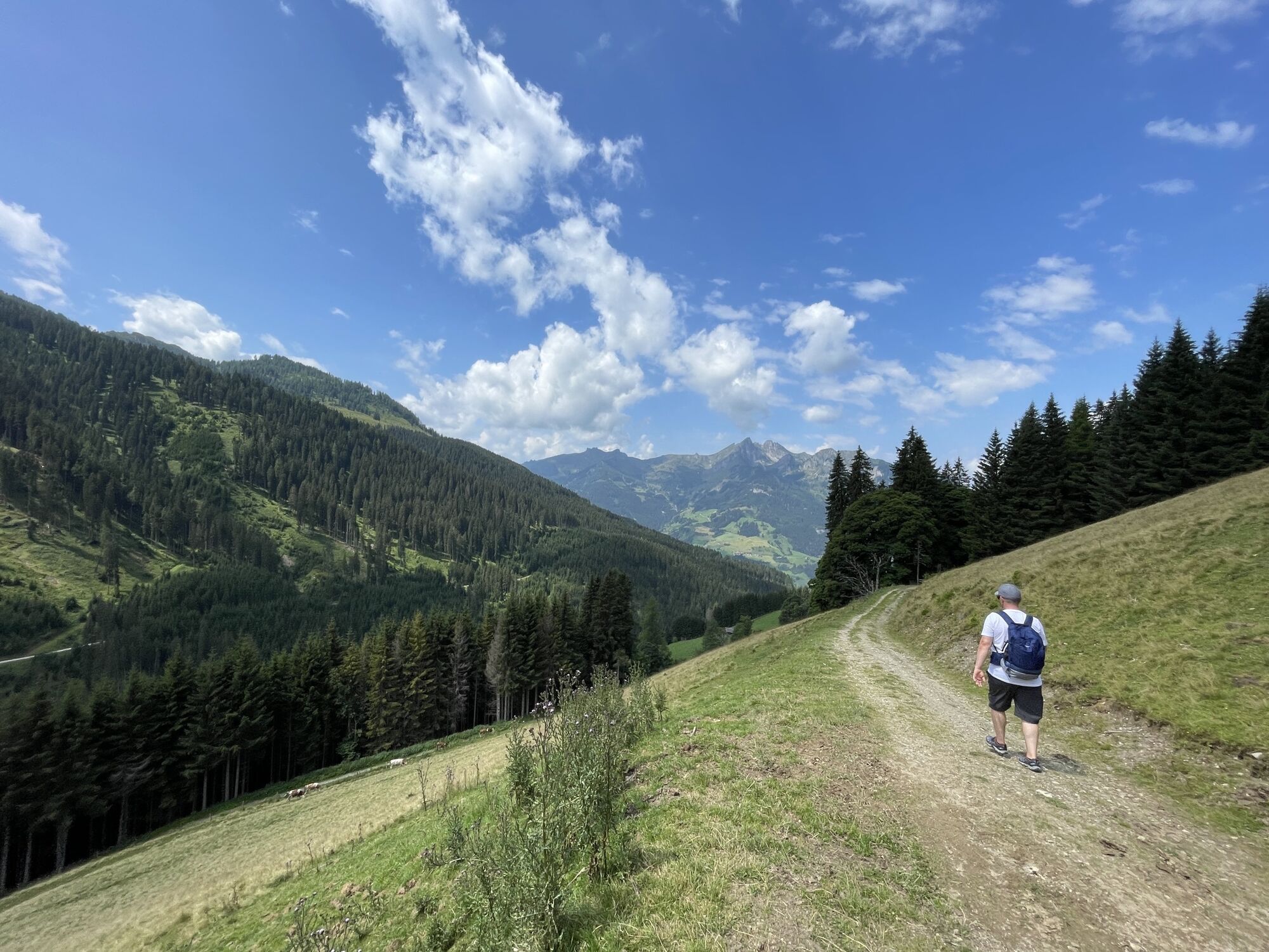
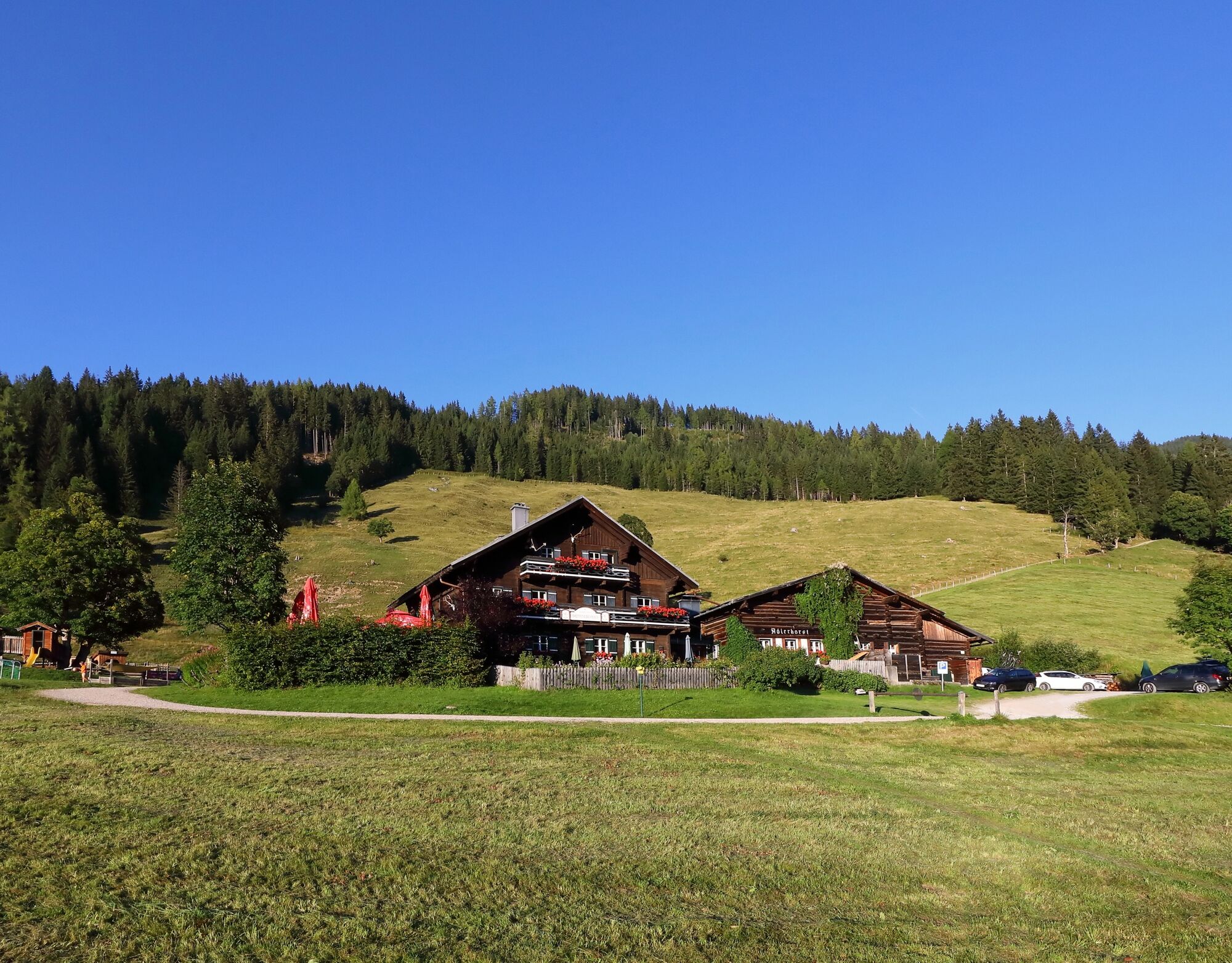
Afterward, descend via a beautiful alpine path to Breitenebenalm and finally to Sonneggbrücke, the end of this 3-day hut route.
Hike along path no. 63 past the Henerbichlalm to Henerbichl, 1,934 m (approx. 1 h). To the Trögseen lakes, follow hiking trail 64 and continue on it to Gründegg, 2,168 m (approx. 1 h). From here, hike on path no. 67 to the Penkkopf, 2,011 m (approx. 3/4 h). Descent via Promaualm, 1,858 m and Oberwandalm (both not managed) to the Karseggalm, 1,603 m (approx. 1 1/4 h). Descent first along a short section of the forest road, then on alpine path no. 70 to the Breitenebenalm (approx. 1/2 h). Descent via the forest road or shortcuts through the forest, then a final stretch on the goods road to the Sonneggbrücke car park (approx. 3/4 h). From there, it is best to take a hiking taxi. Total walking time: approx. 5 1/4 h
Áno
Mountain boots with profiled sole, fruit, drinks (refillable bottles), wind and rain protection, toiletries, warm clothes and change of clothes, slippers, flashlight, mini first aid kit, hiking map, sunscreen, chocolate or muesli bars, a thin hut sleeping bag is recommended.
T2
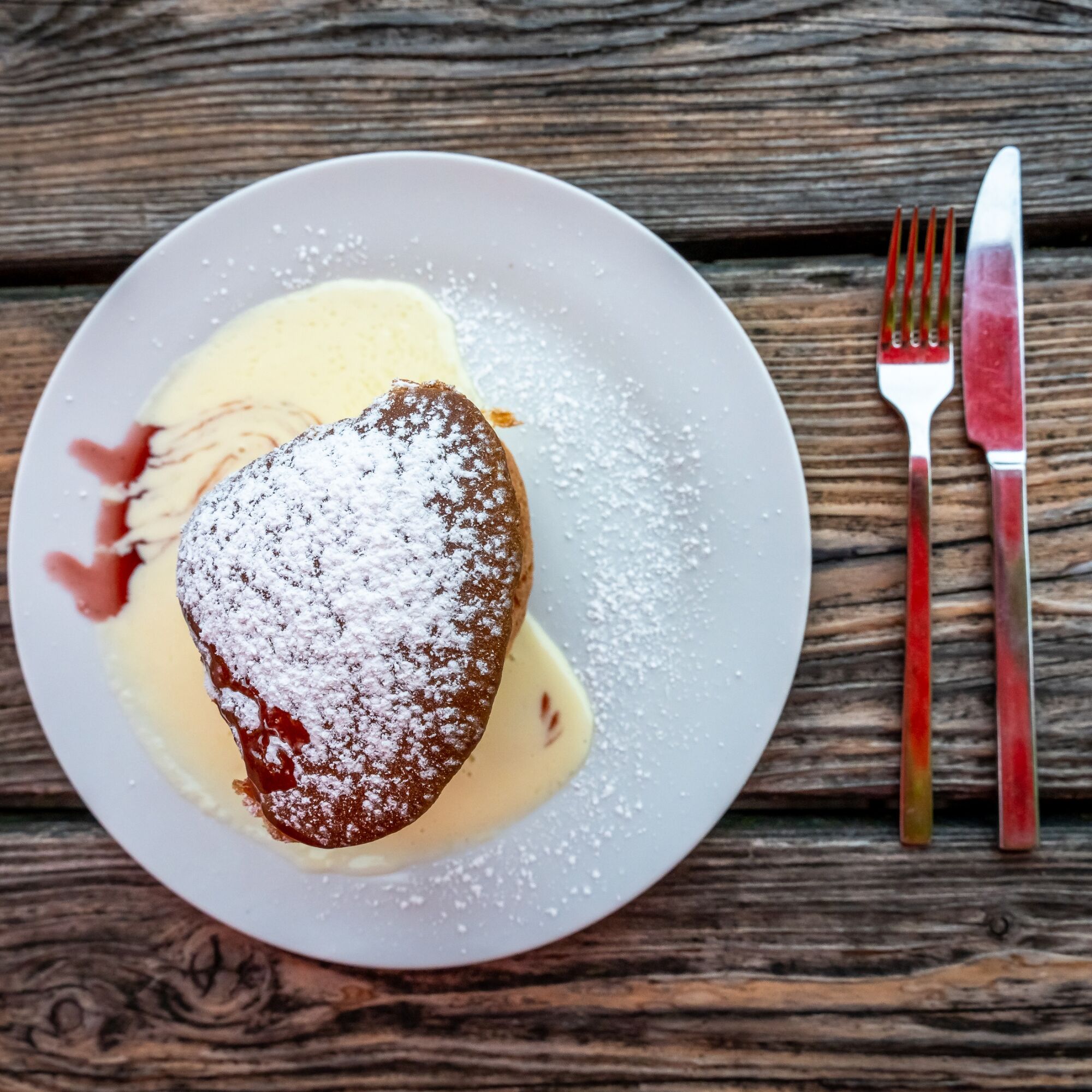
Once a week, you can watch the dairy farmer making the typical sauerkäse (sour cheese) for the Großarl valley. Details can be found in the event calendar of the tourism association.
Webové kamery z prehliadky
-
Gernkogel - Alpendorf St. Johann
-
Hotel Lammwirt im Großarltal/Ellmautal
-
Ellmautal - Palfenhof
-
Großarl - Ort
-
St.Johann-Alpendorf Gernkogel
-
Gernkogel - Alpendorf St. Johann
-
Gernkogel - Alpendorf St. Johann
-
Mooslehen Berg
-
Großarl - Loosbühelalm
-
Grossarl - Hotel Gasthof Schützenhof
-
Großarl - Hotel Kristall Übungslift
-
Gernkogel - Alpendorf St. Johann
-
Gernkogel - Alpendorf St. Johann
-
Gernkogel - Alpendorf St. Johann
-
Gernkogel - Alpendorf St. Johann
-
Großarl
Obľúbené výlety v okolí
-
4,9
Großarl: Aualm - Liechtensteinkopf - Aukopf - Schuhflicker - Schuhflickersee
strednáTuristika 5,84 km -
5,0
Großarl: Alpine pasture circuit in Ellmautal
strednáTuristika 9,69 km -
4,1
Tappenkarsee Kleinarl
strednáTuristika 9,11 km -
4,7
Großarl: Mooslehenalm – Niggeltalalm – Viehhausalm
strednáTuristika 5,44 km -
4,7
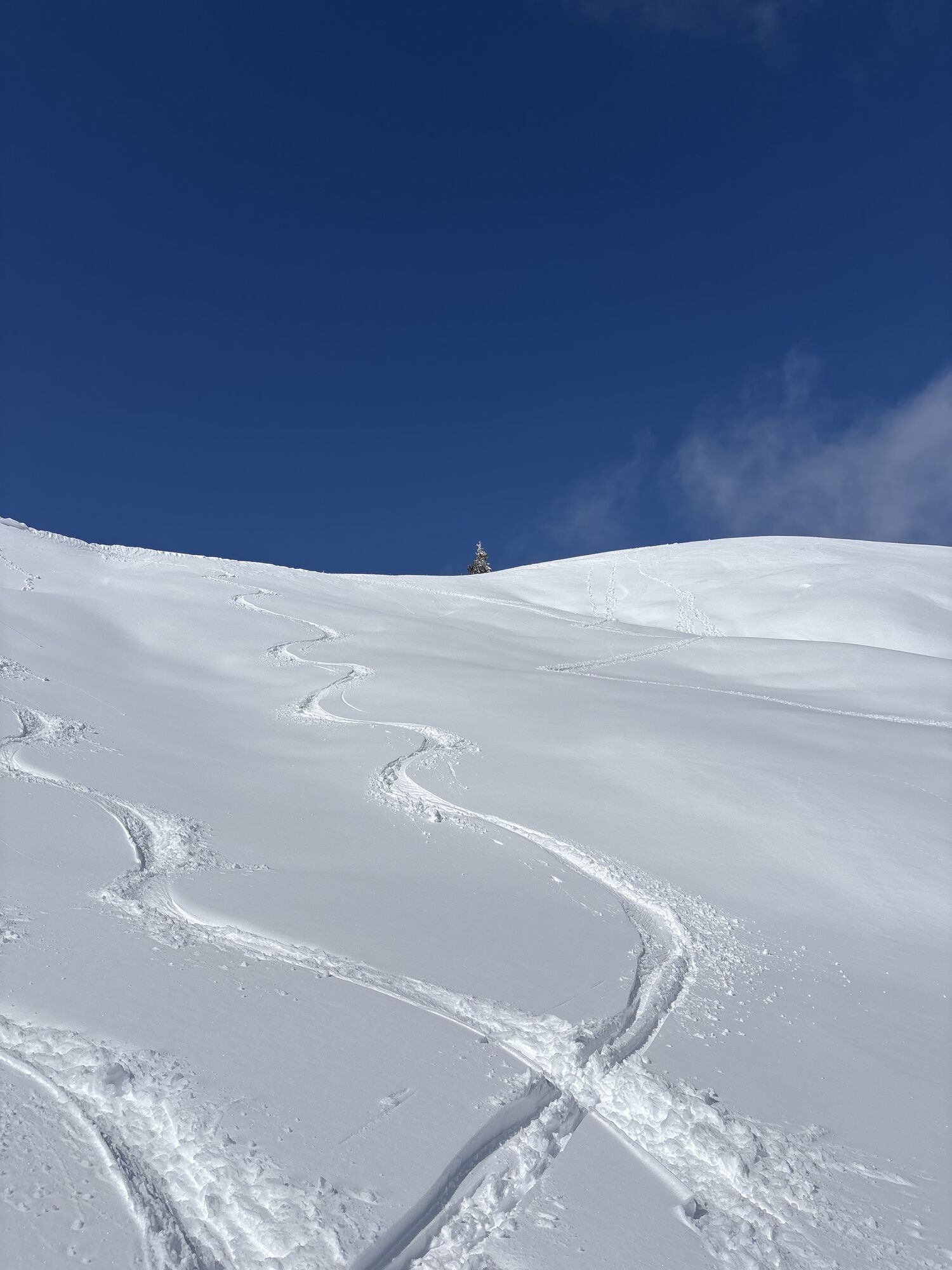
Ski route Lackenkogel
strednáSkitour 7,82 km -
5,0
Hüttschlag: Karteistörl - Tappenkarsee - Draugsteintörl - Draugsteinalmen
strednáTuristika 13,5 km -
4,9
Großarl: Bichlalm
strednáMountainbike 18,9 km -
4,8
Liechtensteinklamm mit Helix
svetloTematická trasa 3 km -
4,6
Großarl: Saukaralm - Saukarkopf - Gerstreitalm
strednáTuristika 9,39 km -
4,6
Bad Hofgastein Bergbahn Parkplatz - Rastötzenalm Bad Hofgastein
strednáMountainbike 16,9 km
Turistika a stopovanie


Nenechajte si ujsť ponuky a inšpiráciu na ďalšiu dovolenku
Vaša e-mailová adresa bol pridaný do poštového zoznamu.