


Salzburger Almenweg
Úroveň náročnosti: T2
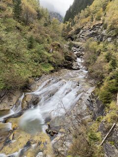
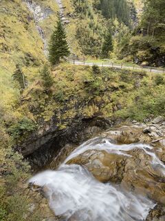
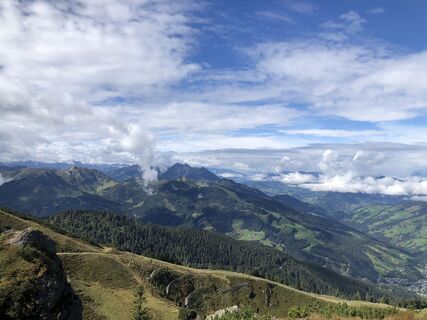
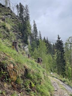
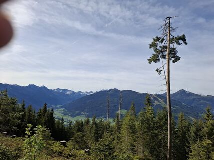
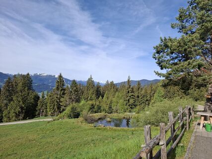
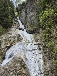
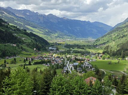
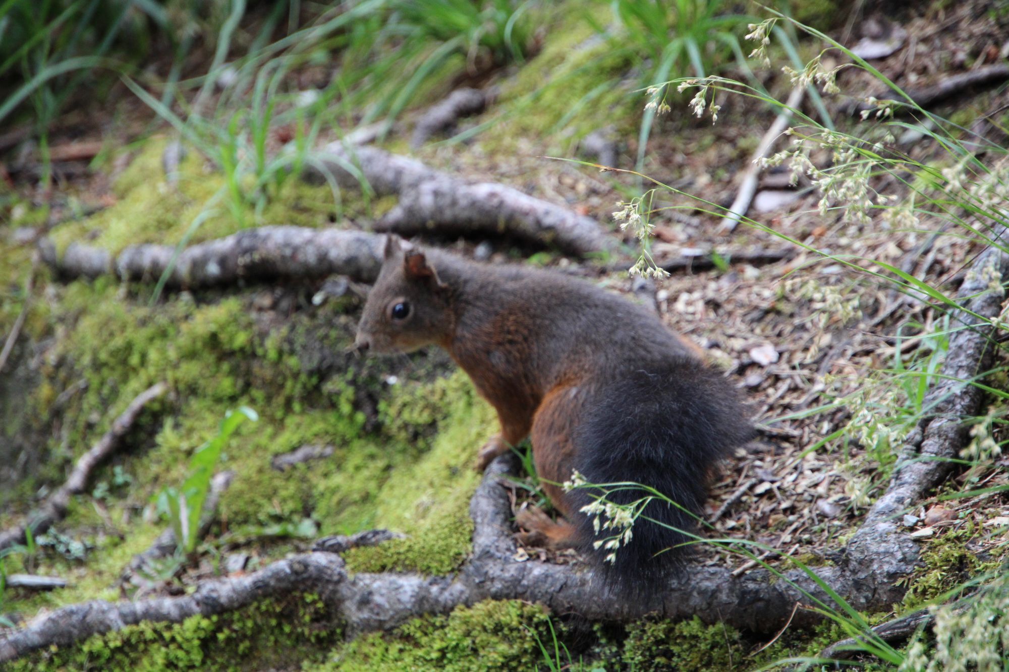
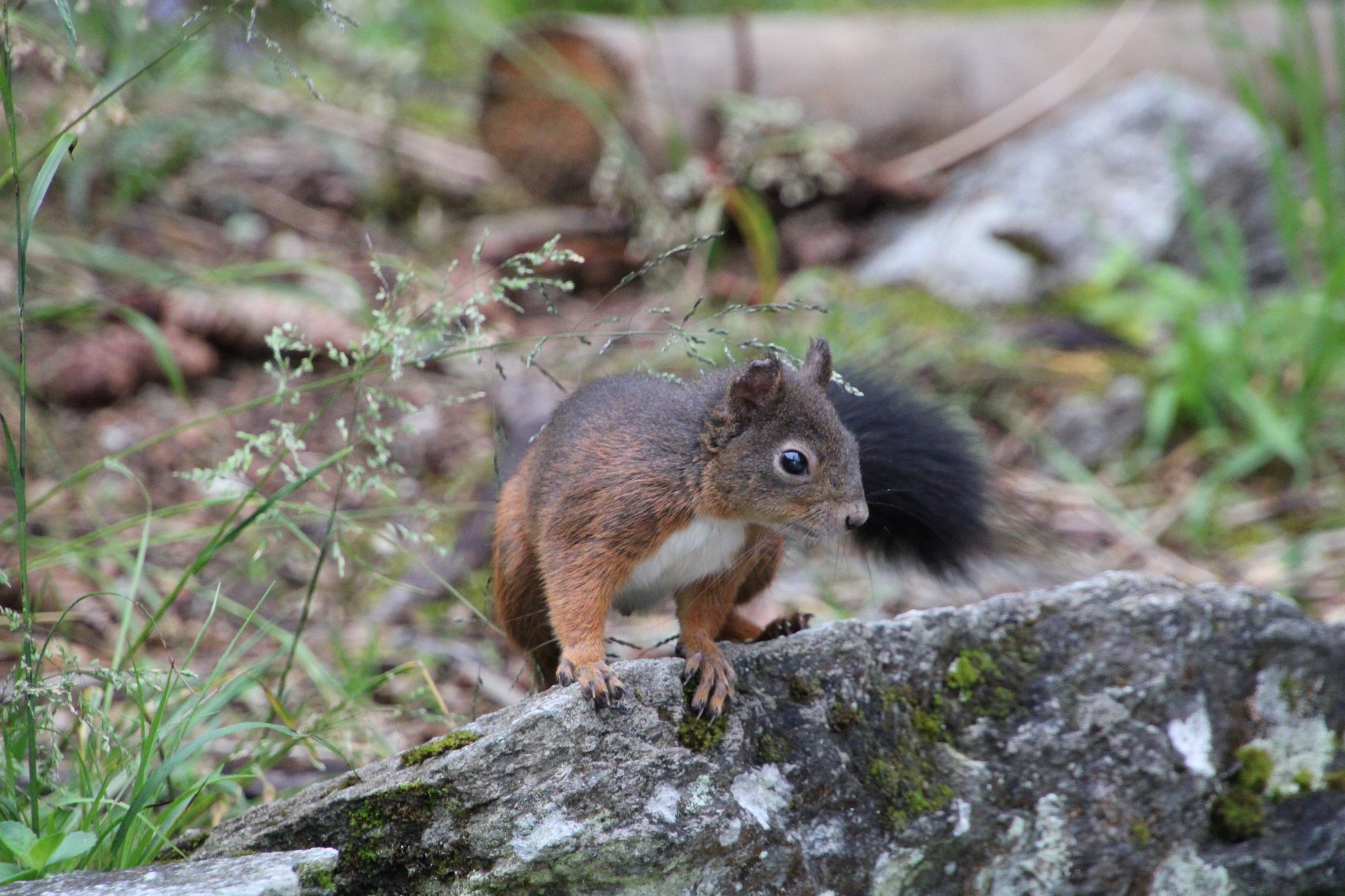
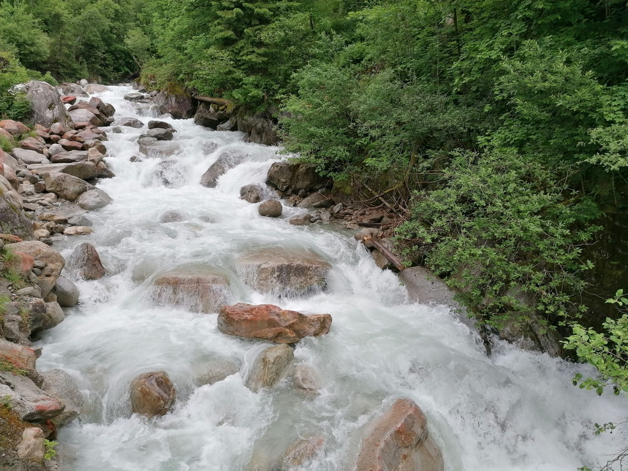
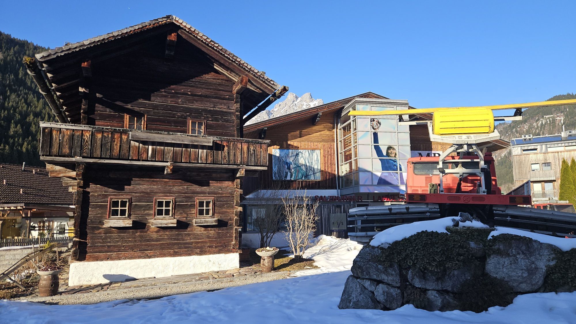
Fotografie našich používateľov
-

 © Andreas HausbergerVytvorené dňa 31.08.2024
 -
 © StefanVytvorené dňa 14.07.2024
 -

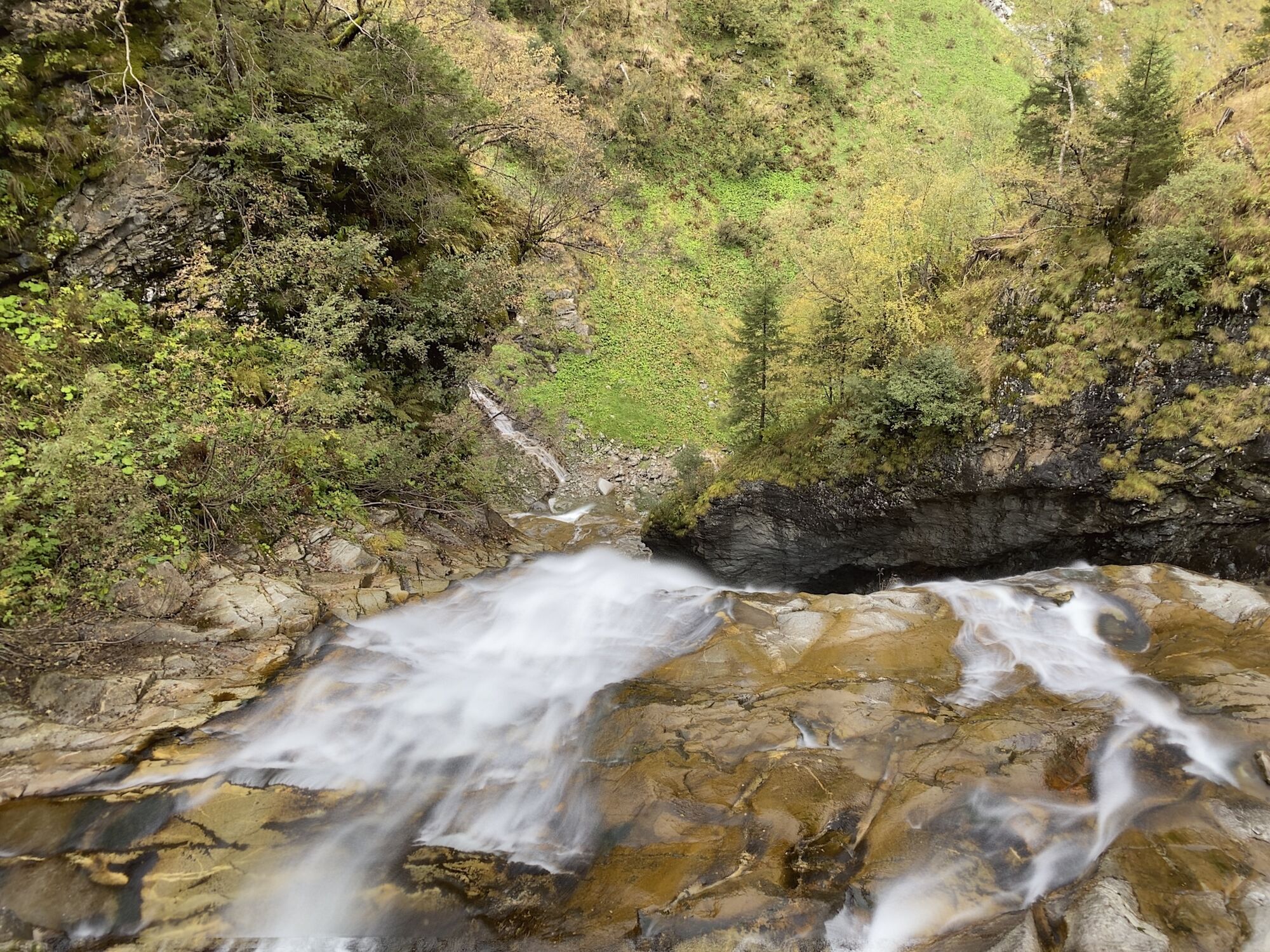
 © Rainer Prügger 1Vytvorené dňa 19.08.2023
 -
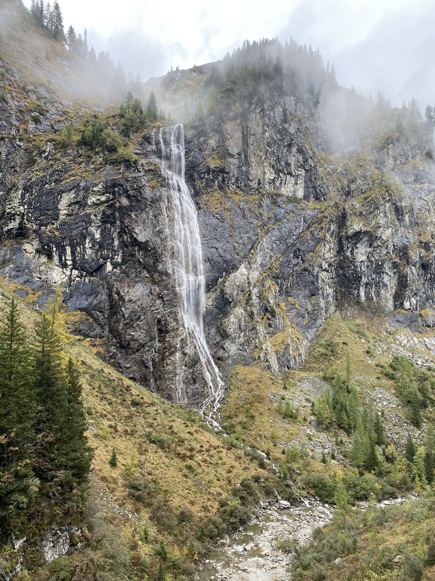
 © Rainer Prügger 1Vytvorené dňa 19.08.2023
 -
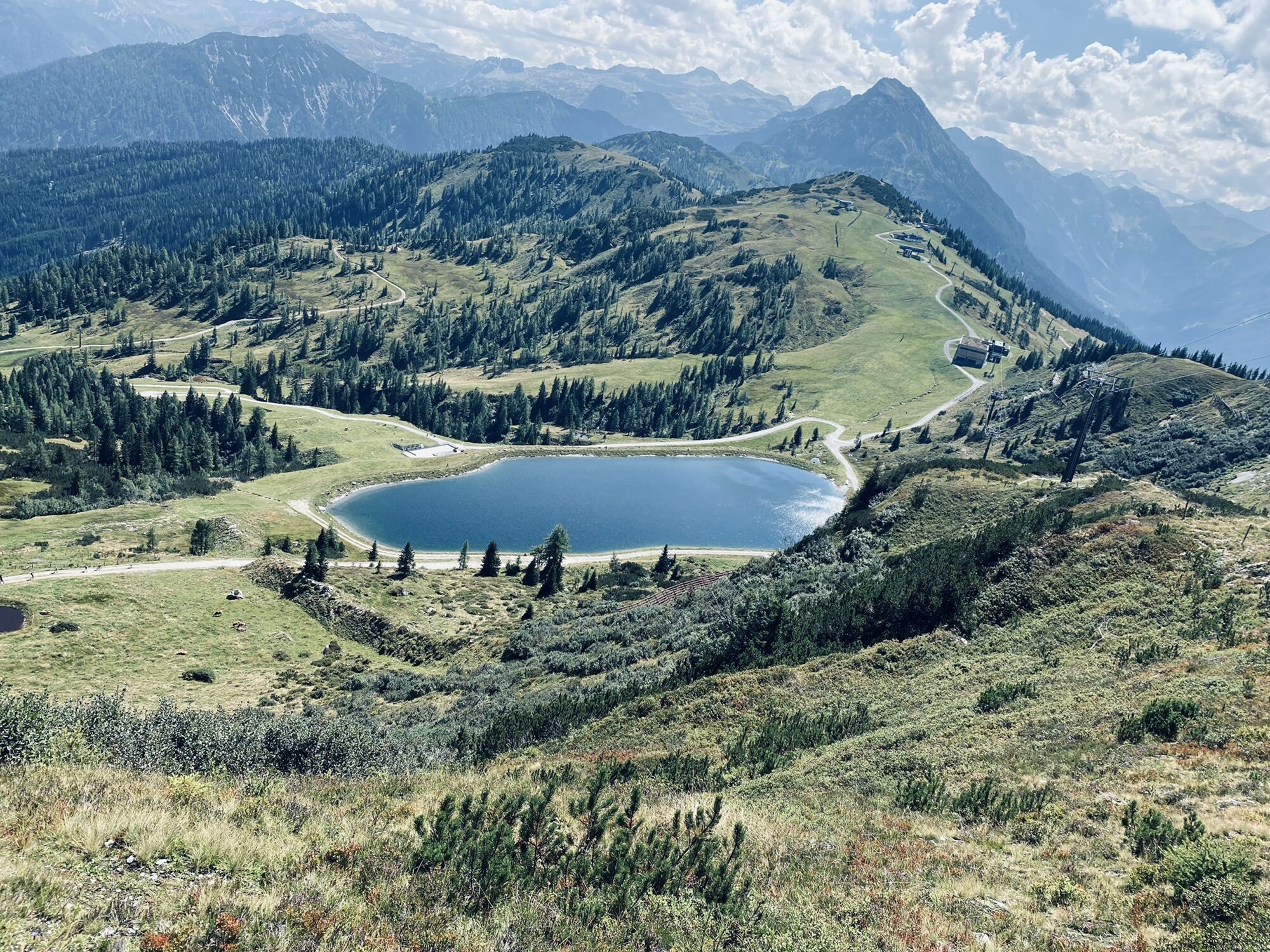
 © manfred_kagerVytvorené dňa 20.07.2023
 -
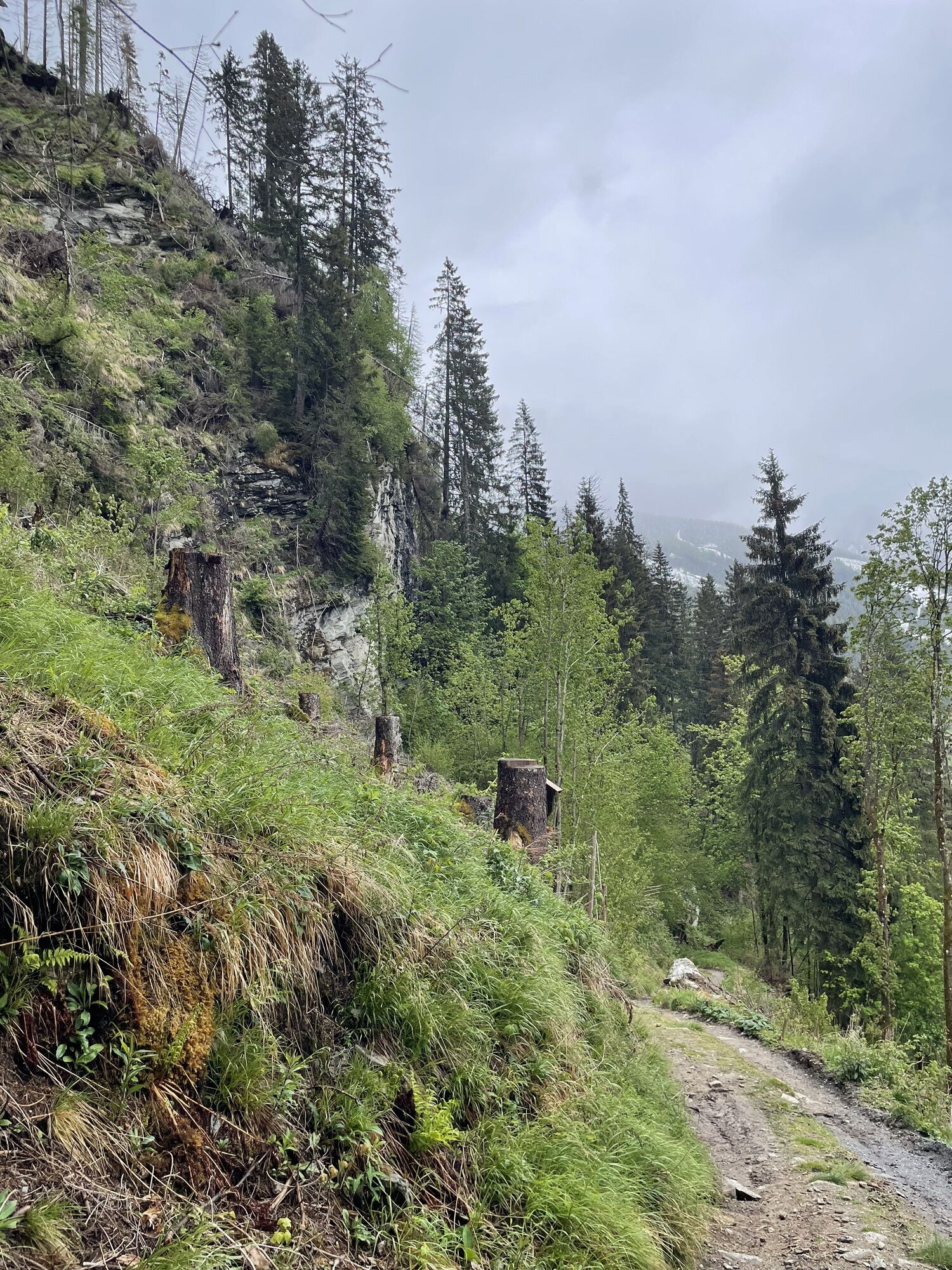
 © Jan Willem WesselsVytvorené dňa 30.06.2023
 -
 © Jan Willem WesselsVytvorené dňa 30.06.2023
 -
 © Jan Willem WesselsVytvorené dňa 30.06.2023
 -
 © Erhard UdermannVytvorené dňa 24.06.2023
 -
 © Erhard UdermannVytvorené dňa 24.06.2023
 -
 © Erhard UdermannVytvorené dňa 24.06.2023
 -
 © Erhard UdermannVytvorené dňa 24.06.2023
 -

 © Jonny BlackVytvorené dňa 13.06.2023
 -

 © Maximilian StögerVytvorené dňa 22.05.2023
 -
 © Tamas G Szivos-AradiVytvorené dňa 21.10.2022
 -
 © Roland SteinfadtVytvorené dňa 06.10.2022
 -
 © Roland SteinfadtVytvorené dňa 06.10.2022
 -
 © Pankron63Vytvorené dňa 01.10.2022
 -
 © Pankron63Vytvorené dňa 01.10.2022
 -
 © Pankron63Vytvorené dňa 01.10.2022
 -
 © Pankron63Vytvorené dňa 01.10.2022
 -
 © Pankron63Vytvorené dňa 01.10.2022
 -
 © AckermannVytvorené dňa 10.09.2022
 -
 © Stefan Brunnauer 1Vytvorené dňa 30.08.2022
 -
 © MartinVytvorené dňa 15.05.2026
 -
 © MartinVytvorené dňa 15.05.2026
 -
 © MartinVytvorené dňa 15.05.2026
 -

 © Klaus KadenVytvorené dňa 14.05.2026
 -
 © Klaus KadenVytvorené dňa 14.05.2026
 -
 © Klaus KadenVytvorené dňa 14.05.2026
 -
 © A H GerhardterVytvorené dňa 10.05.2026
 -
 © A H GerhardterVytvorené dňa 10.05.2026
 -
 © PoestlingbergVytvorené dňa 09.05.2026
 -
 © PoestlingbergVytvorené dňa 09.05.2026
 -
 © Max RitzingerVytvorené dňa 03.05.2026
 -
 © Max RitzingerVytvorené dňa 03.05.2026
 -
 © Michaels bergfexVytvorené dňa 29.04.2026
 -
 © Michaels bergfexVytvorené dňa 29.04.2026
 -
 © Daniela Jaeger1Vytvorené dňa 18.04.2026
 -
 © Daniela Jaeger1Vytvorené dňa 18.04.2026
 -
 © Daniela Jaeger1Vytvorené dňa 18.04.2026
 -
 © Daniela Jaeger1Vytvorené dňa 18.04.2026
 -
 © Daniela Jaeger1Vytvorené dňa 18.04.2026
 -
 © R. HVytvorené dňa 13.03.2026
 -
 © R. HVytvorené dňa 11.03.2026
 -

 © Robert8992Vytvorené dňa 28.02.2026
 -
 © PfefferamVytvorené dňa 27.02.2026
 -
 © schenkeliVytvorené dňa 19.02.2026


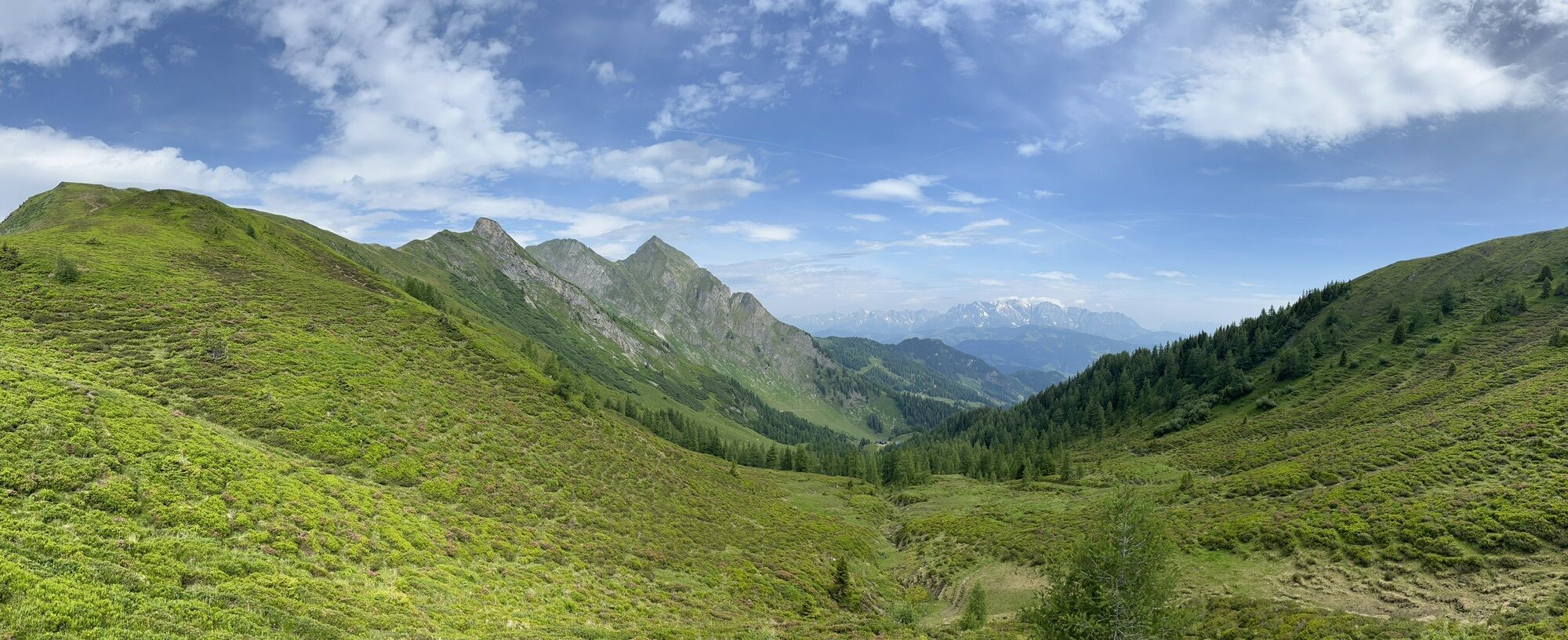


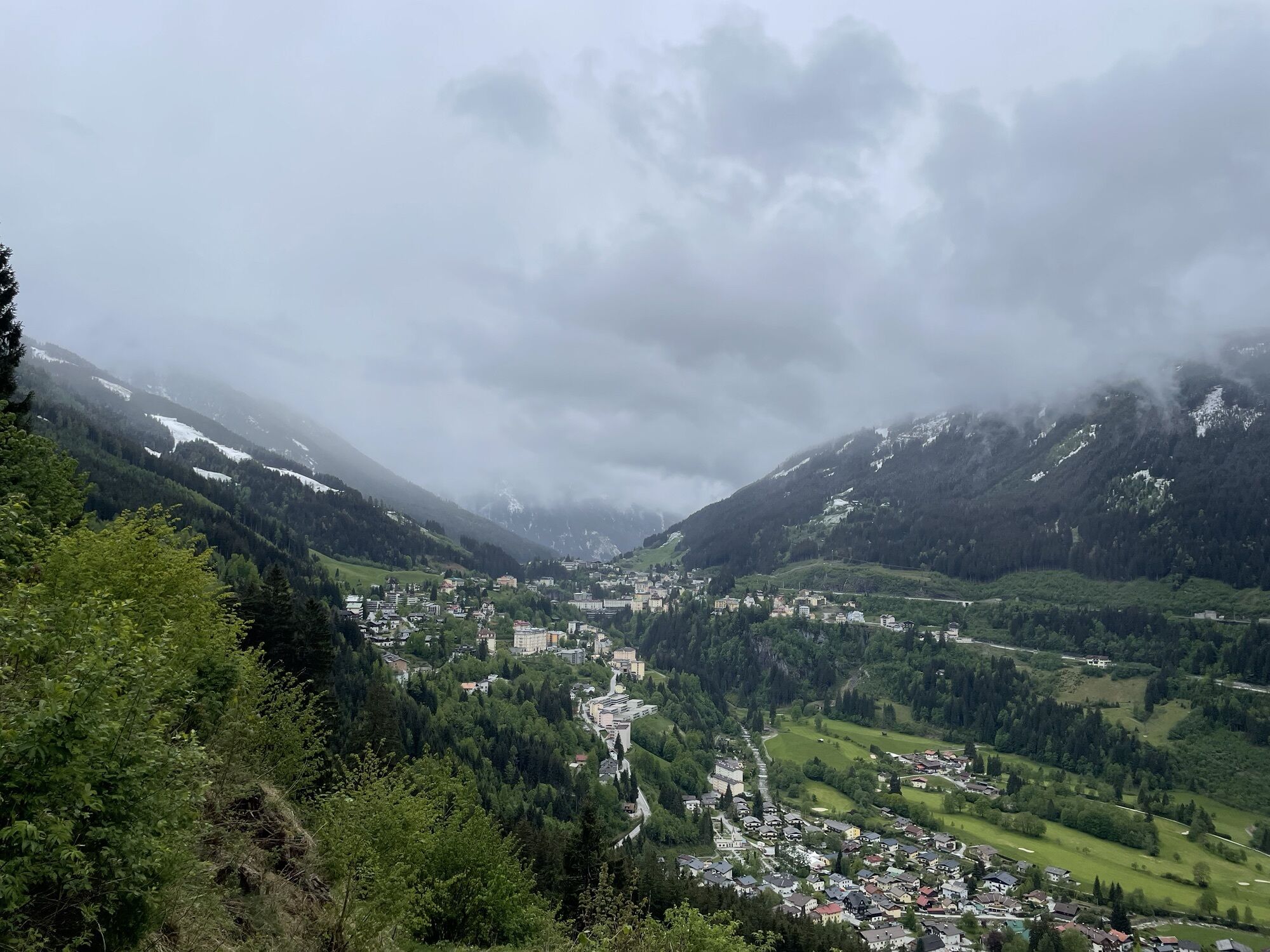
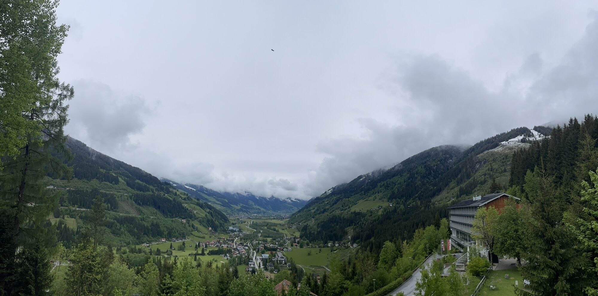
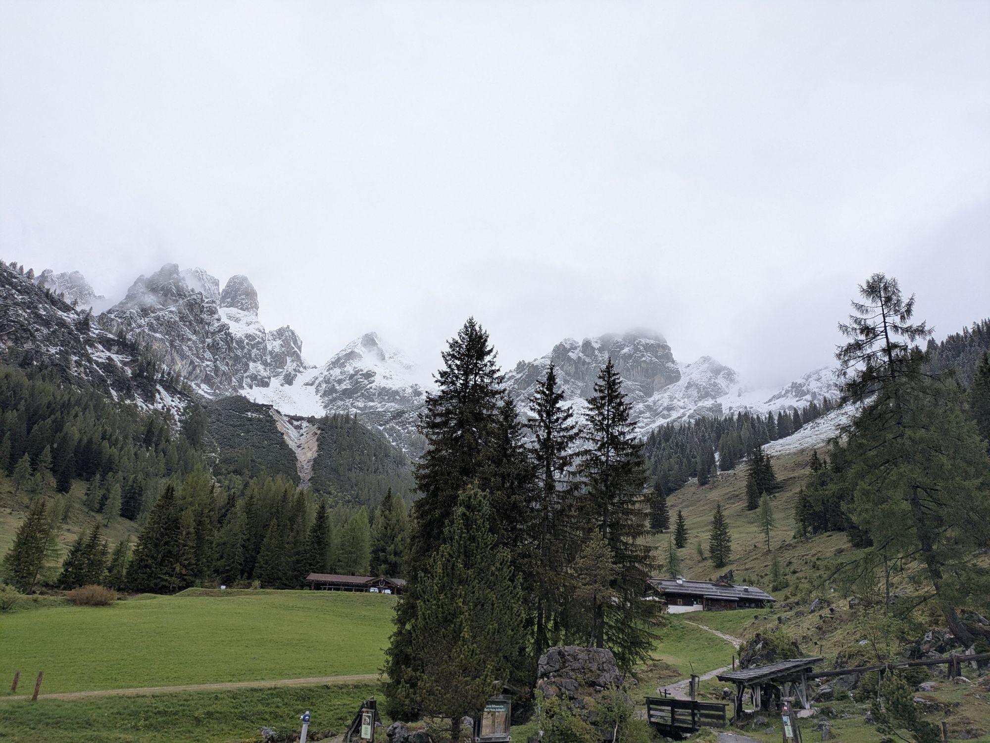
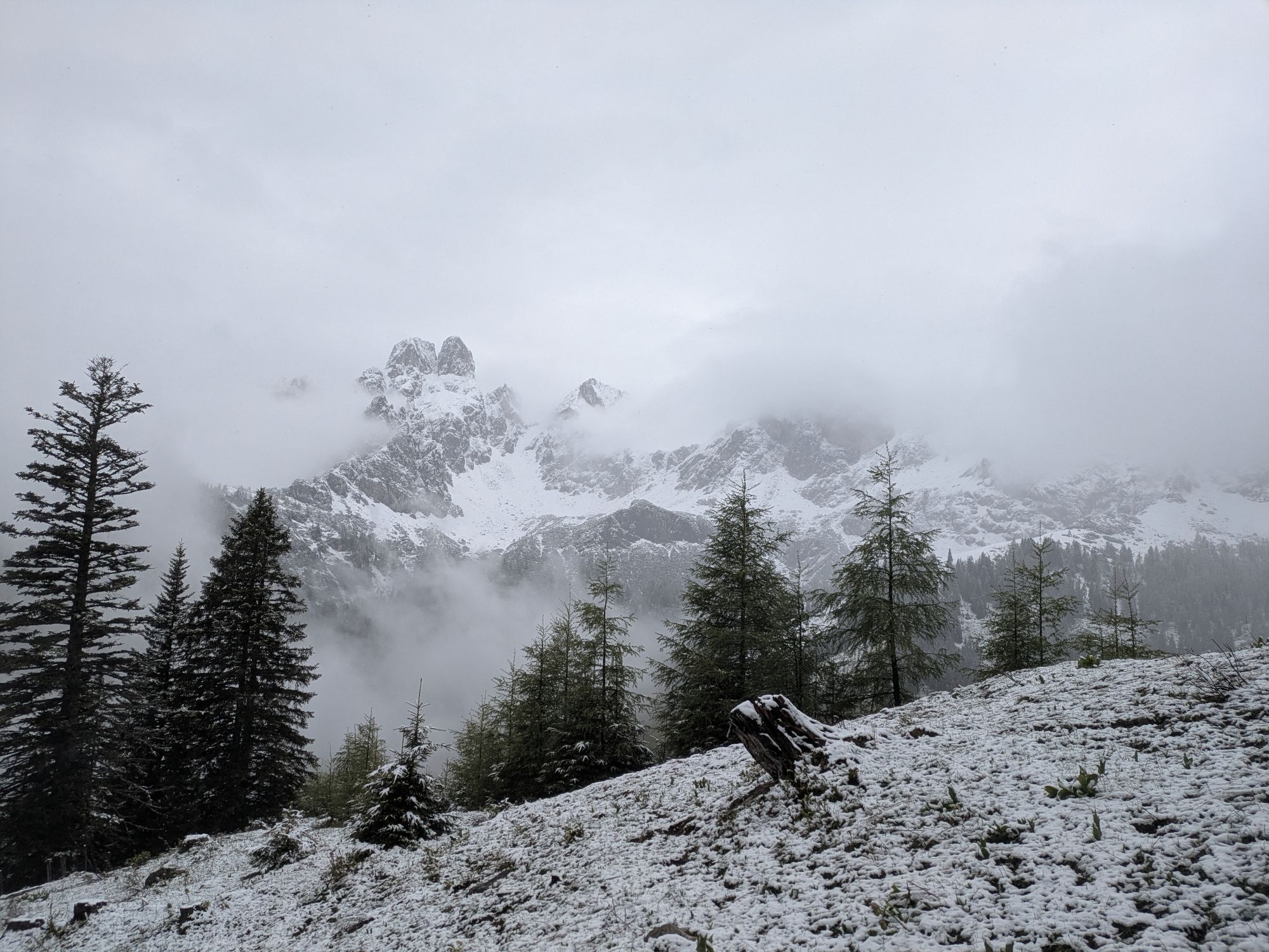
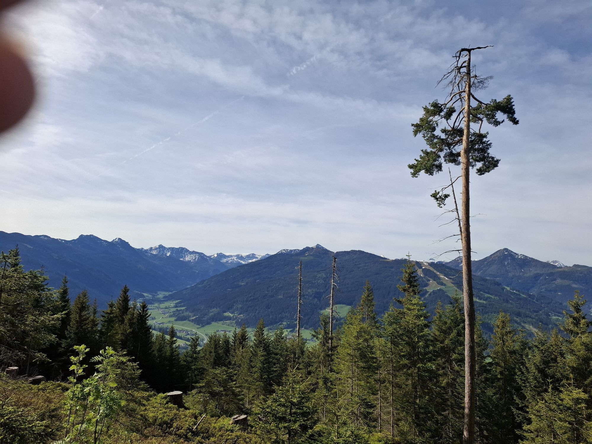


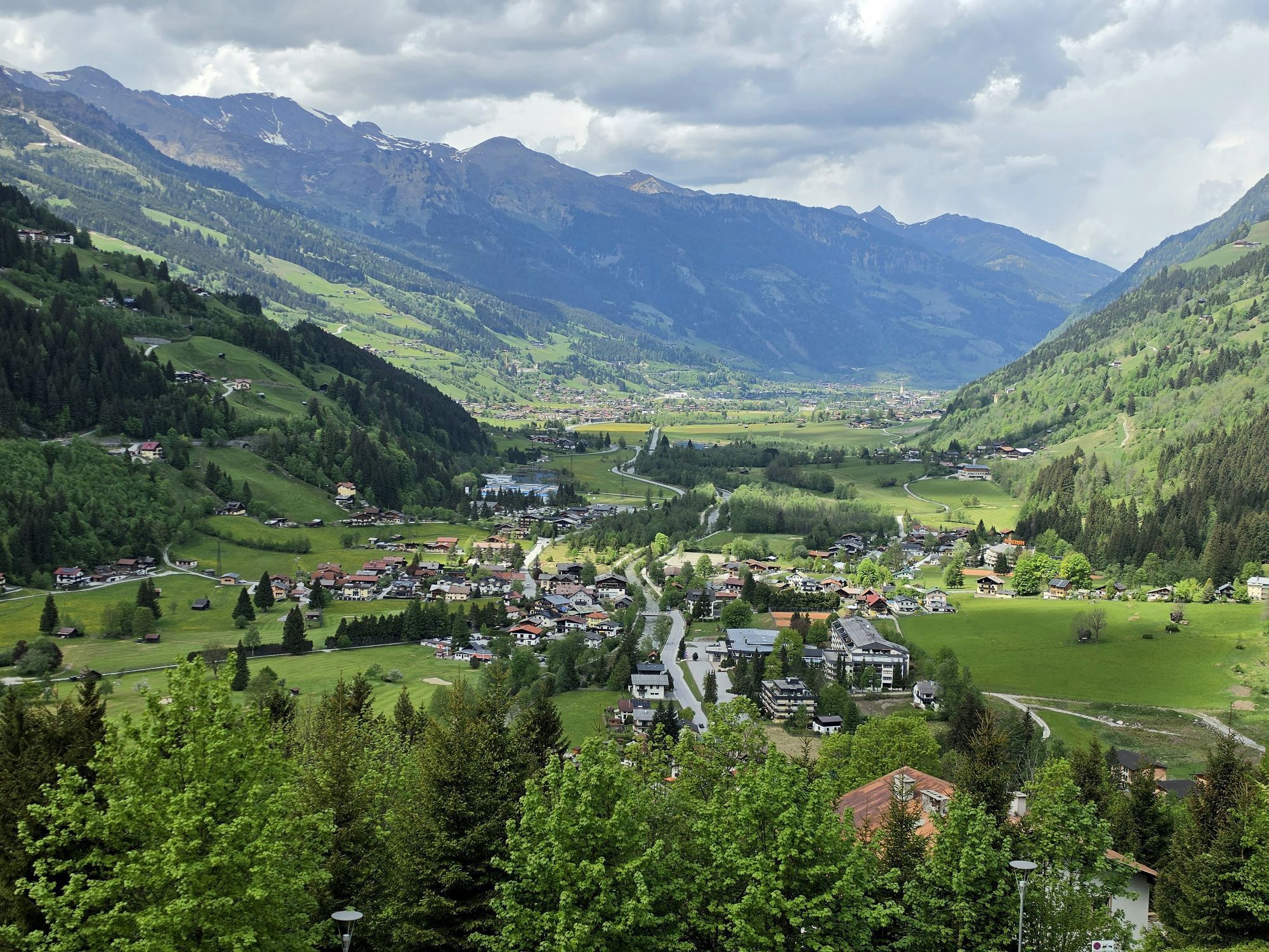
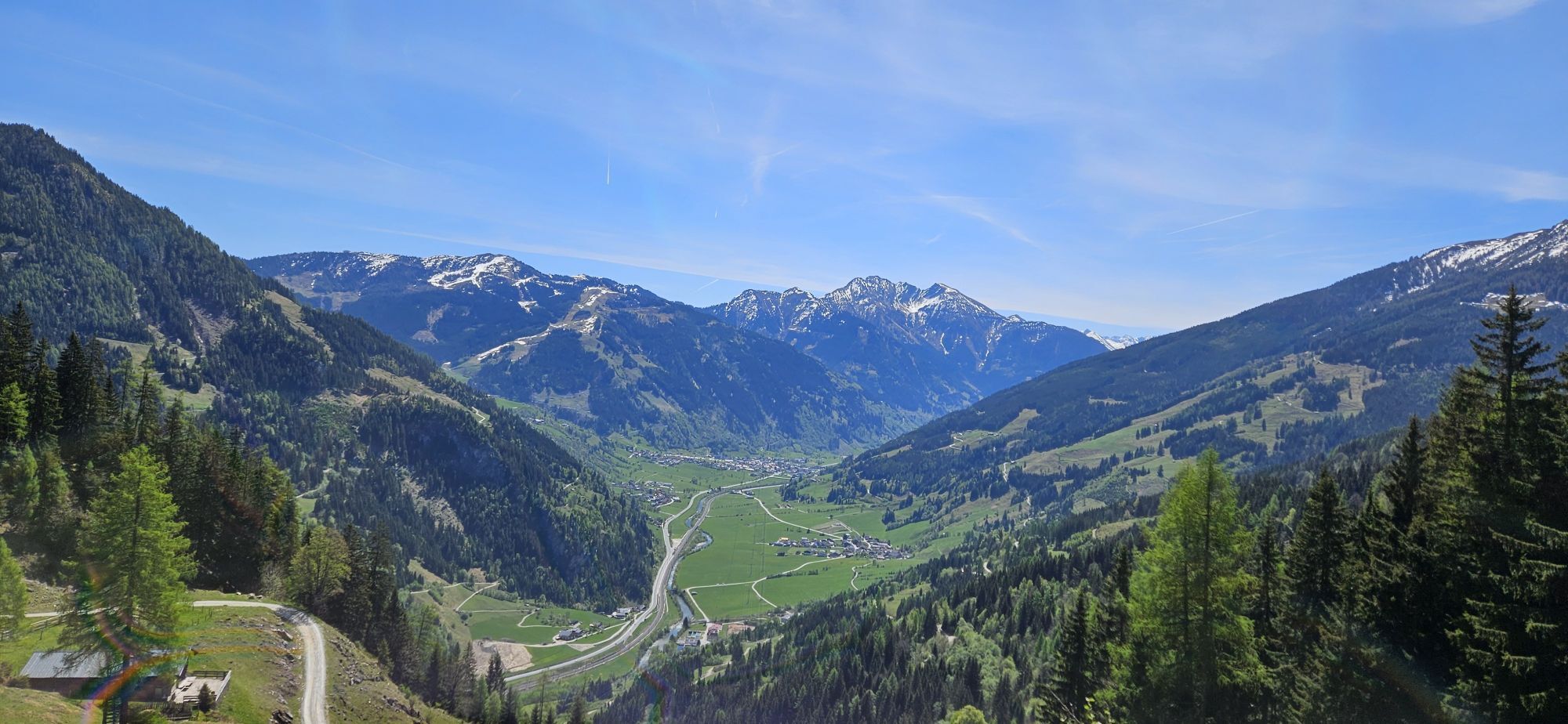
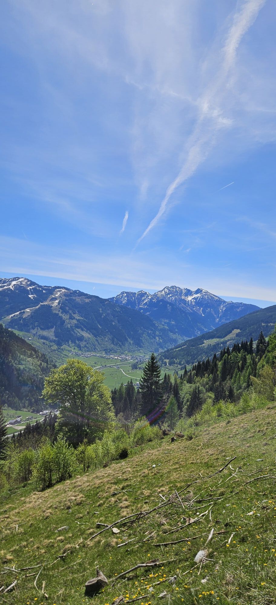


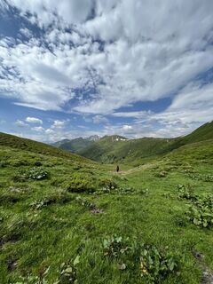
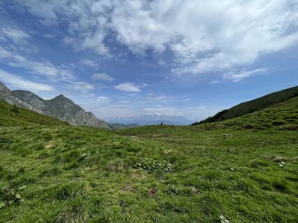
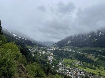
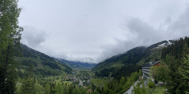
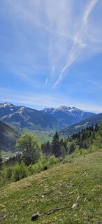
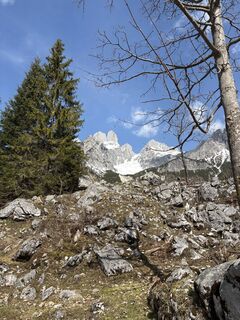
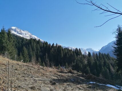
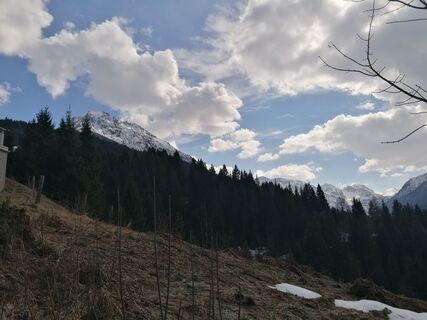
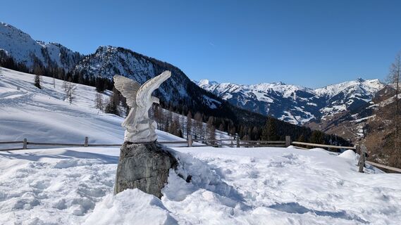
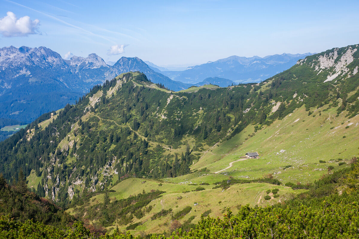
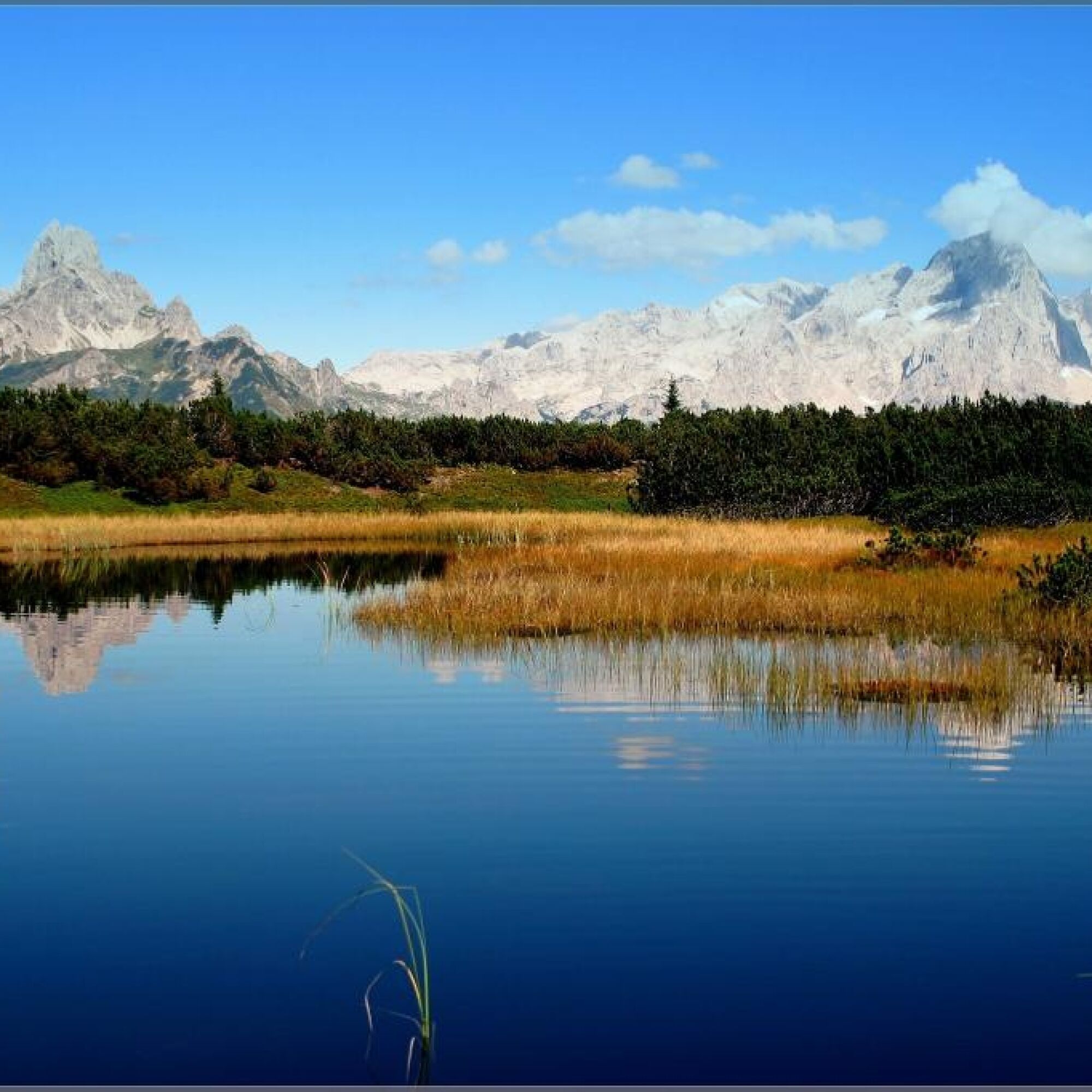
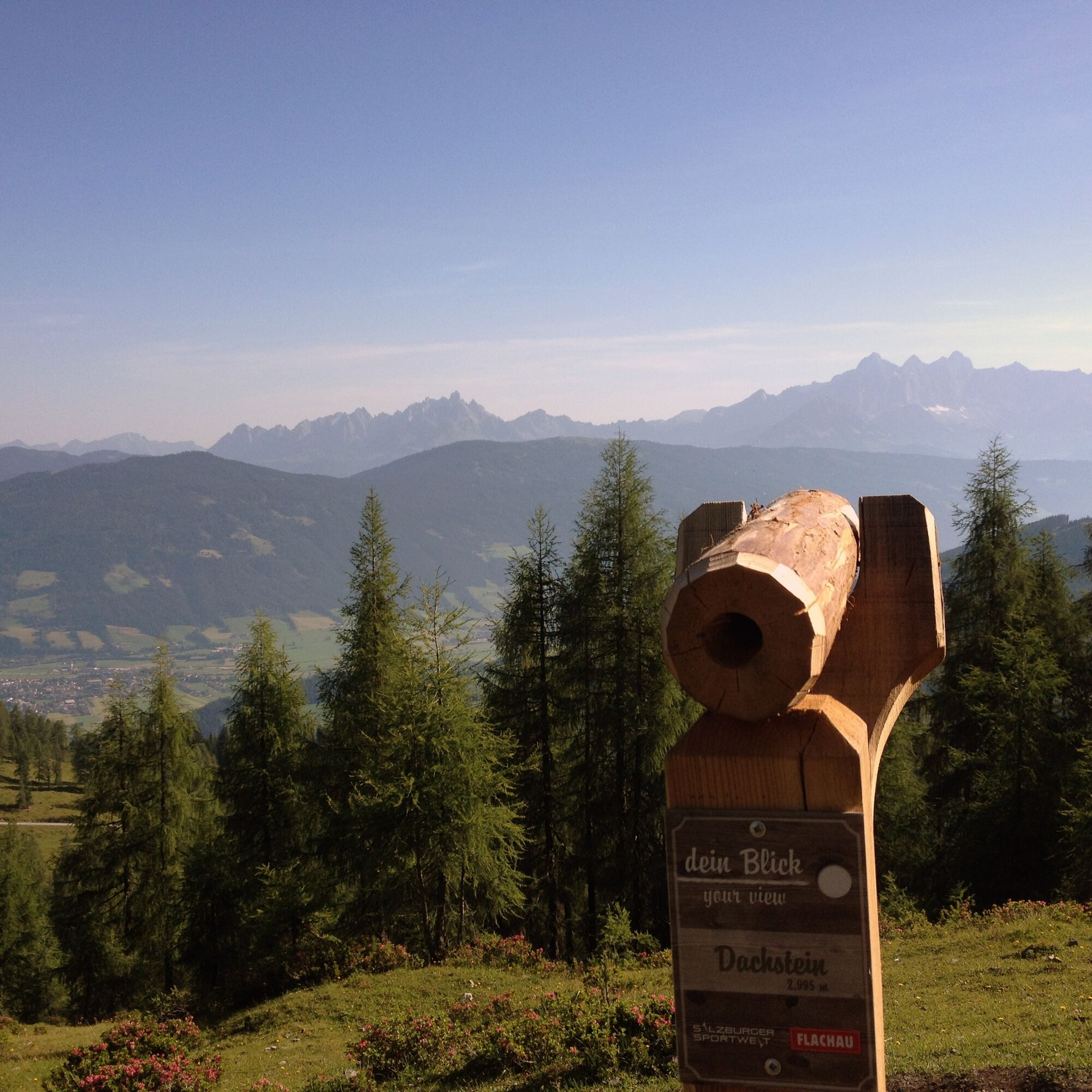
On the Salzburger Almenweg, everyday life in the valley is left behind. One of the most beautiful long-distance hiking trails in the Alps is the Salzburger Almenweg: over 350 kilometers and in 25 stages,...
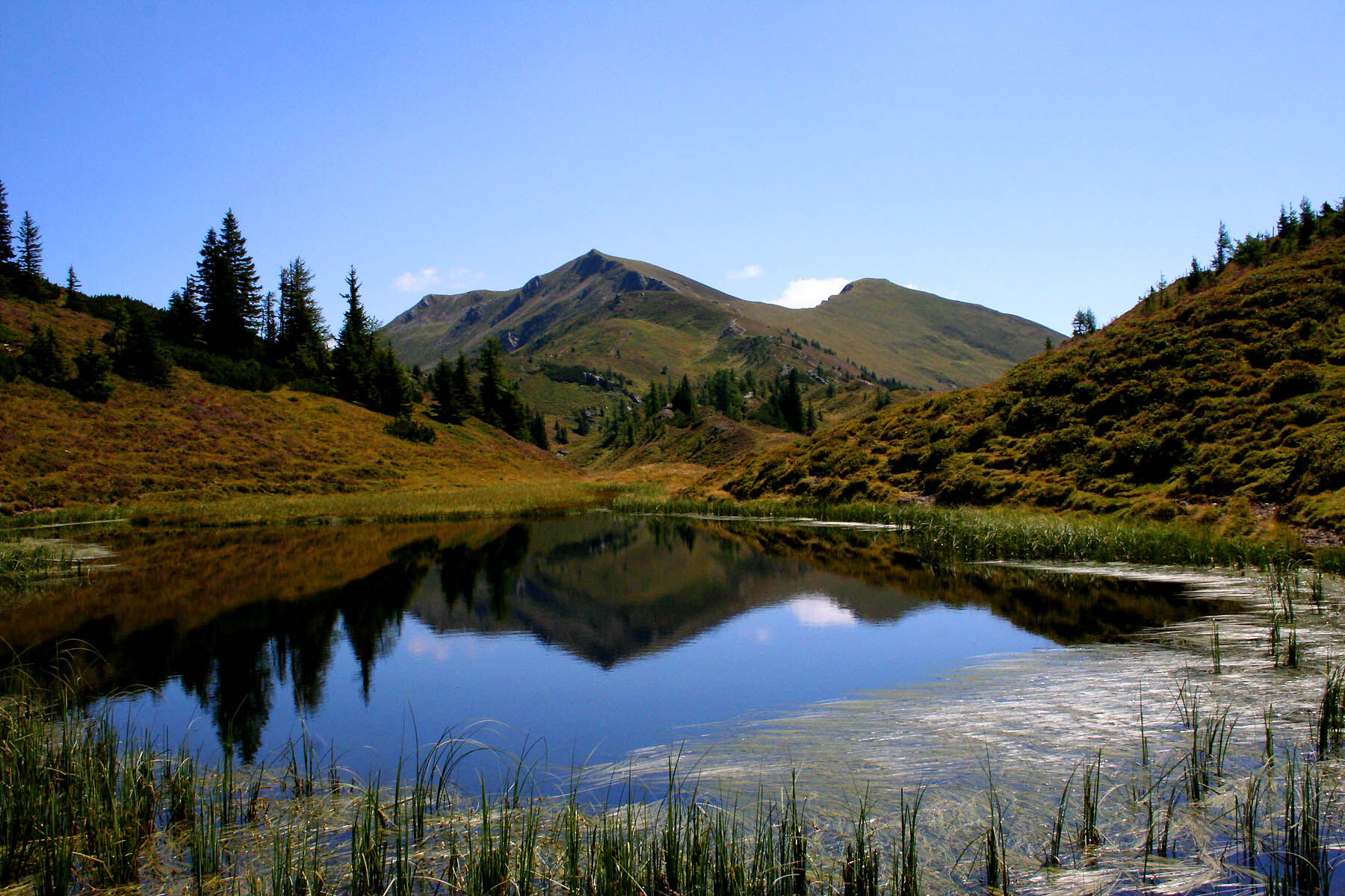
On the Salzburger Almenweg, everyday life in the valley is left behind. One of the most beautiful long-distance hiking trails in the Alps is the Salzburger Almenweg: over 350 kilometers and in 25 stages, it leads to 120 alpine pastures in the Salzburger Pongau. The path is well signposted and follows the trail of the „Blue Gentian“ from hut to hut. The Salzburger Almenweg connects well-known holiday regions: it leads from the Tennen Mountains to the Hochkönig region, over the Salzburger Sonnenterrasse, through the Gastein Valley, into the Großarl Valley, through the Salzburger Sportwelt and to Obertauern.
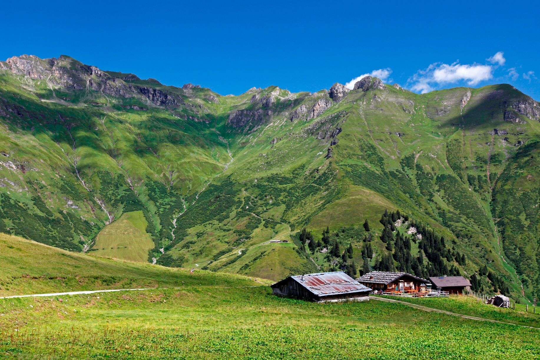
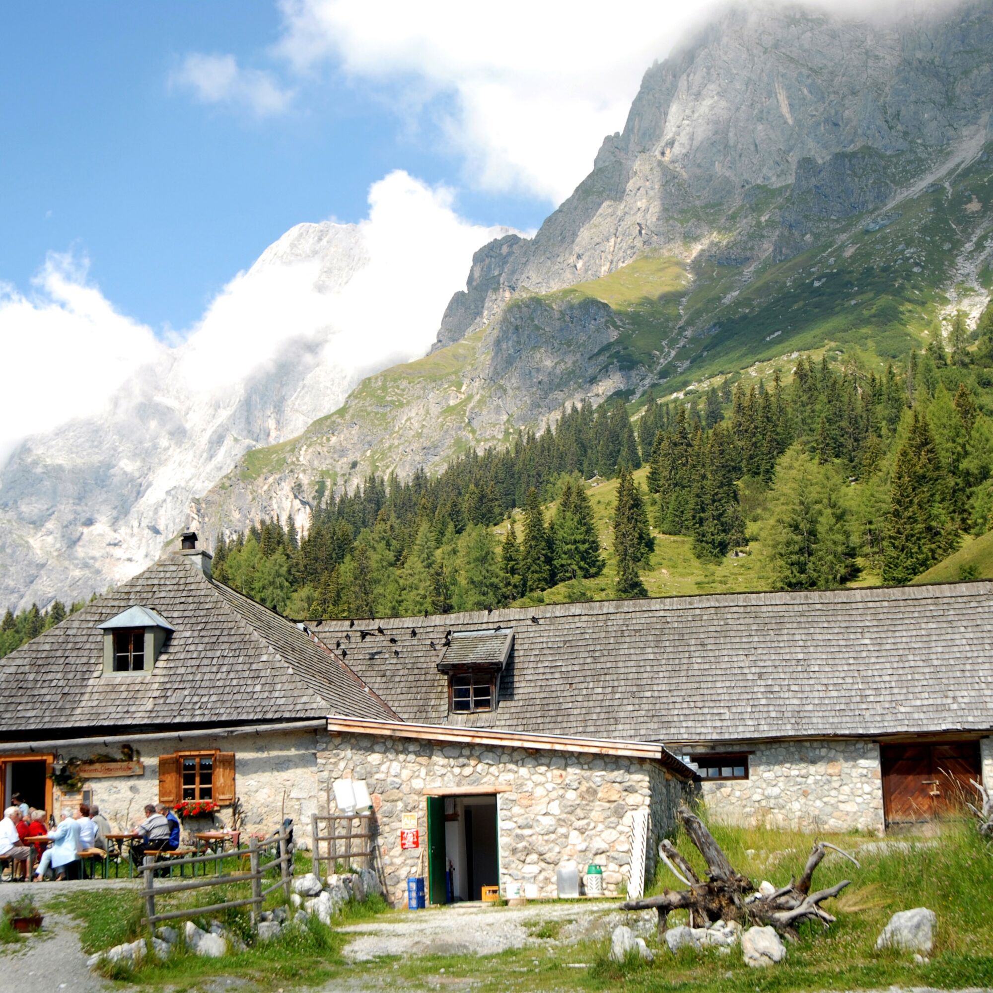


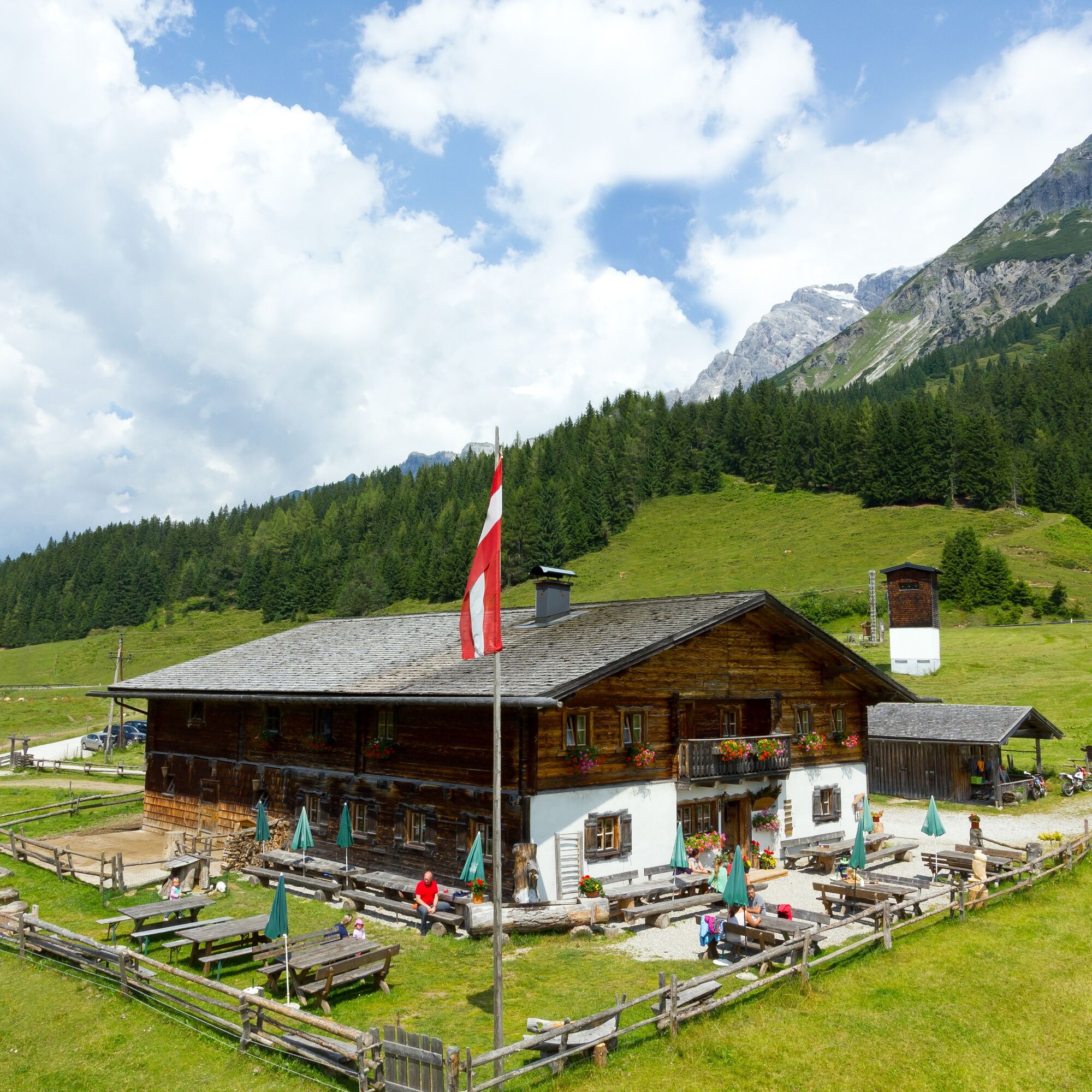

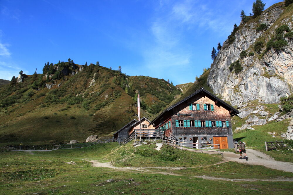
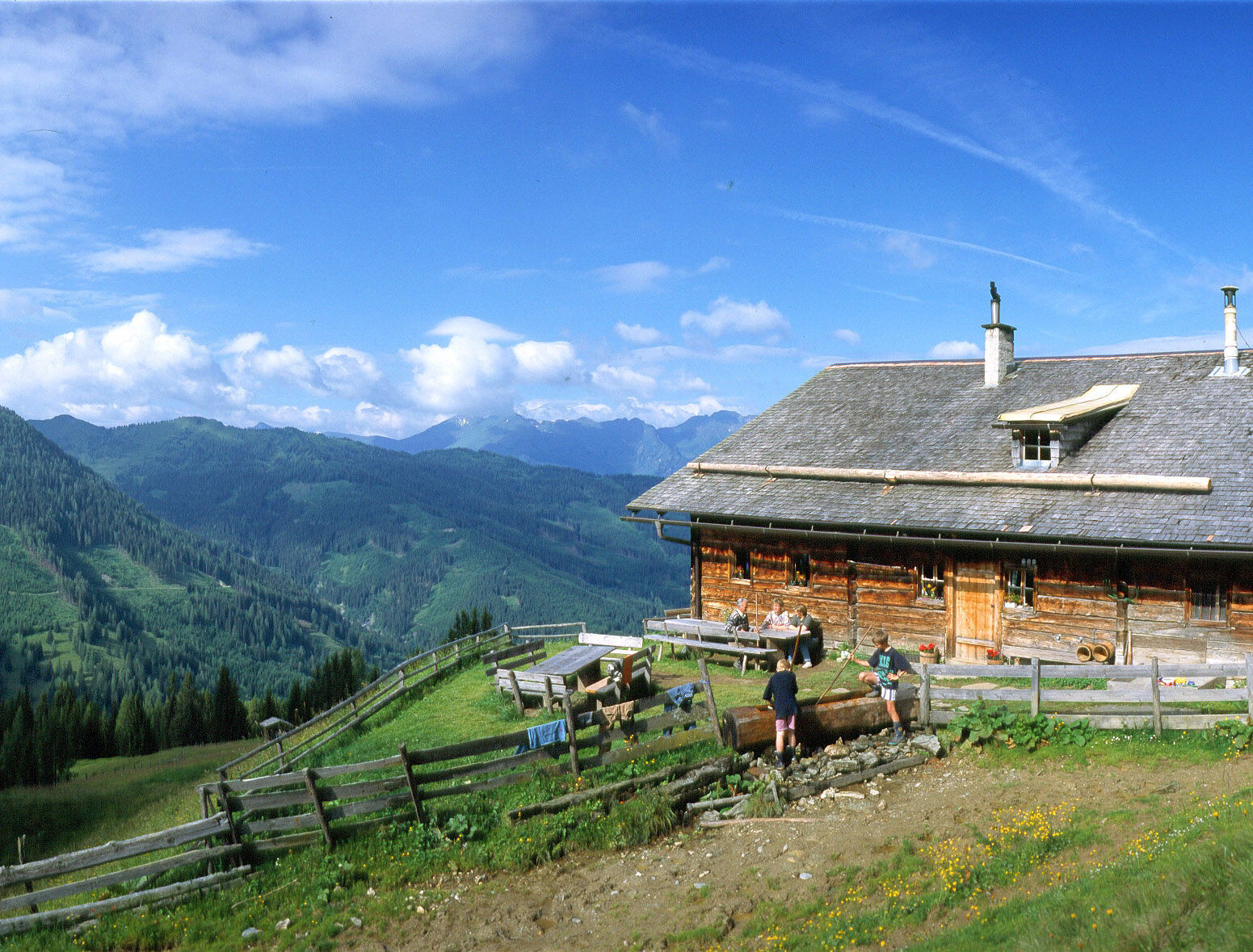

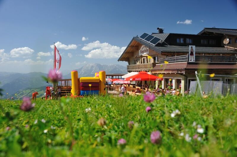


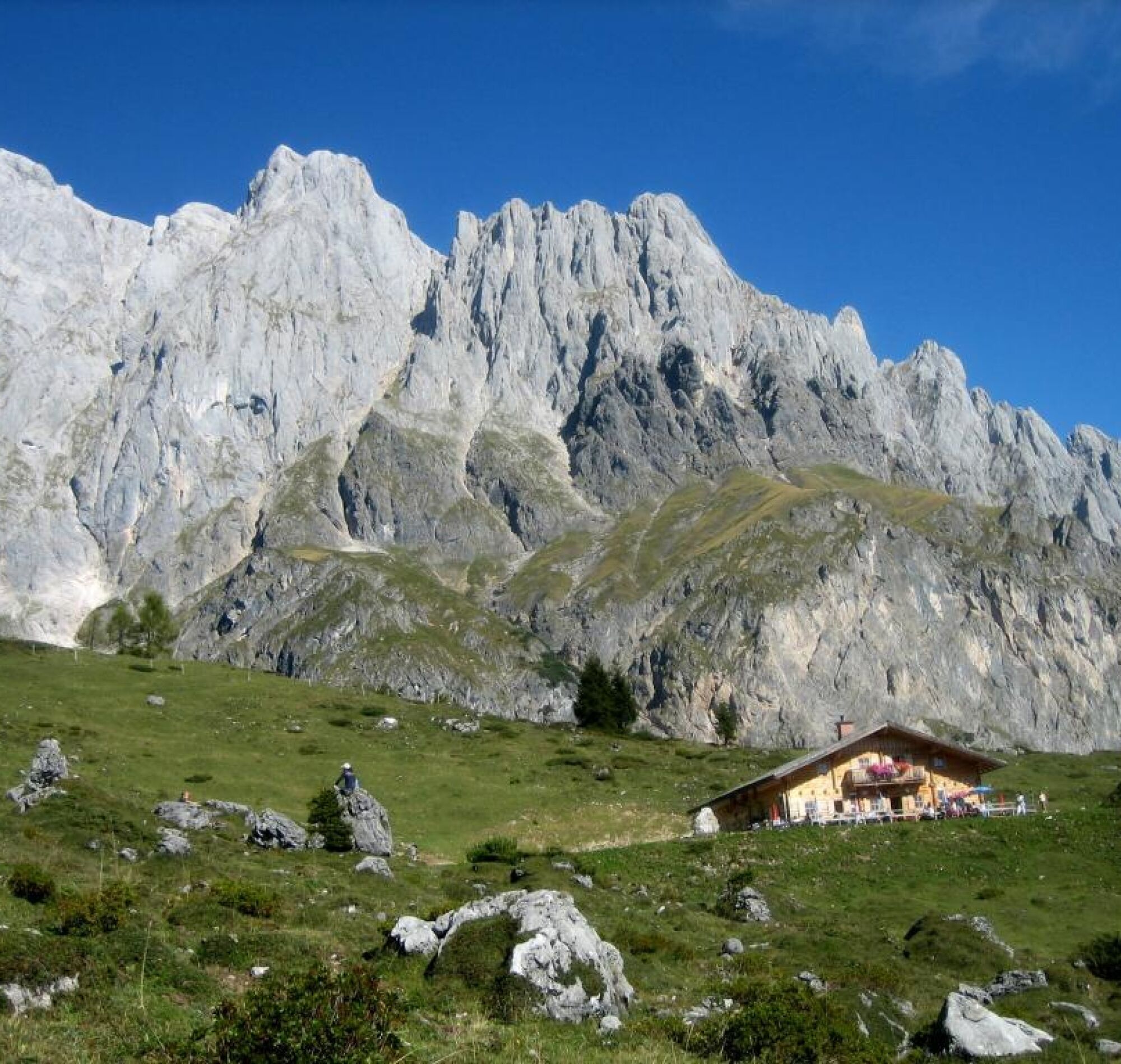
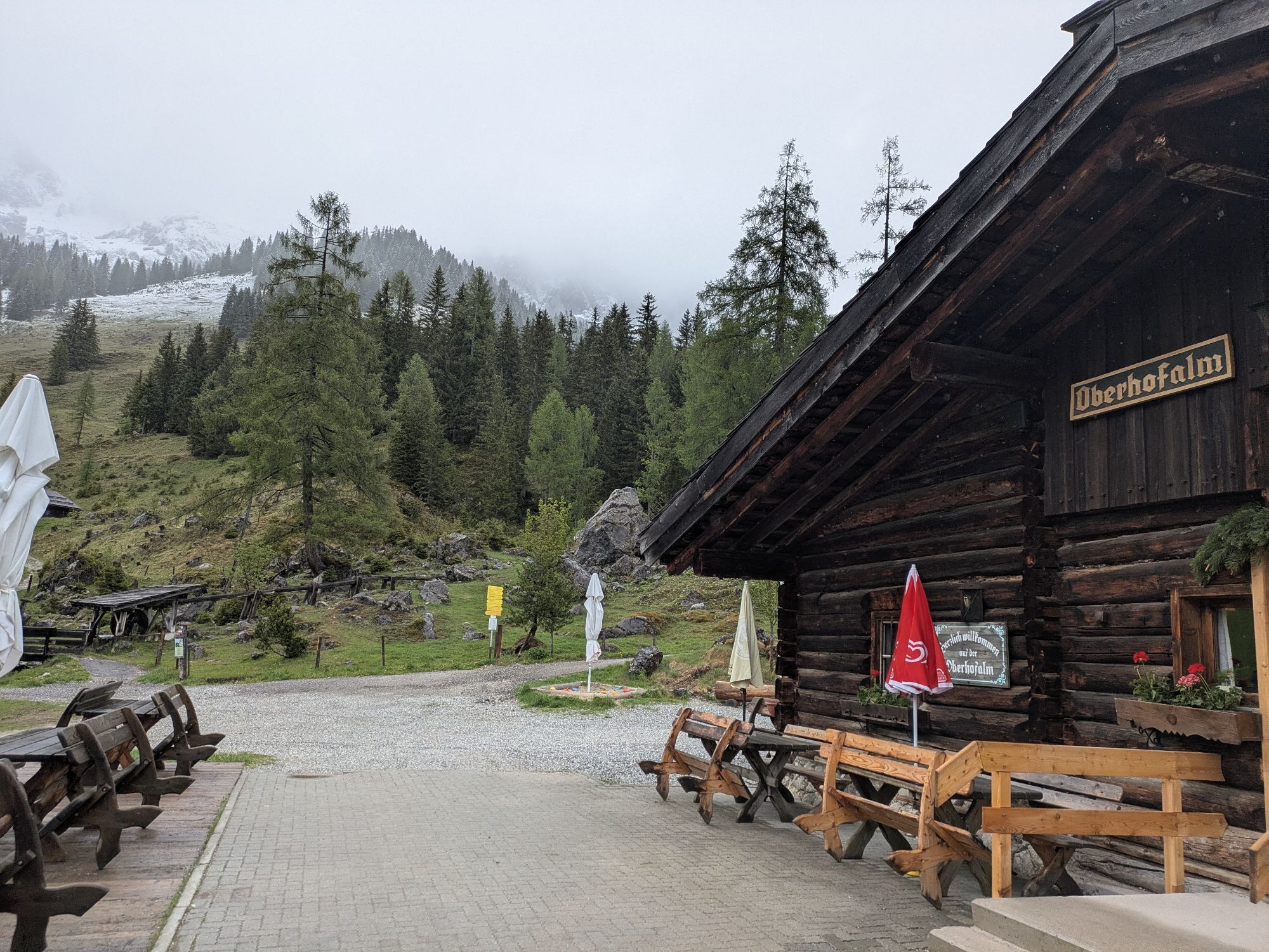
There are 25 villages in the Salzburger Pongau, and they are all valley villages of the Salzburger Almenweg: hikers can join the 350-kilometer long long-distance trail from anywhere, but they can also descend back into the valley everywhere. 120 alpine huts are located along the route, and it is exactly there that you stop for refreshment and overnight stays. Hikers can, but do not have to, return to the valley. Those who long for a longer break from everyday life simply stay up there: in this summery world of the alpine pastures with their people, animals, and stories.
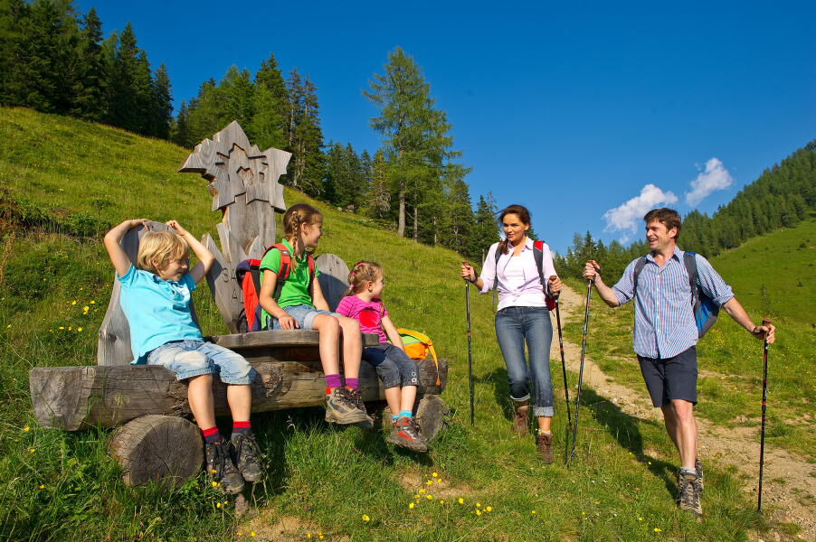
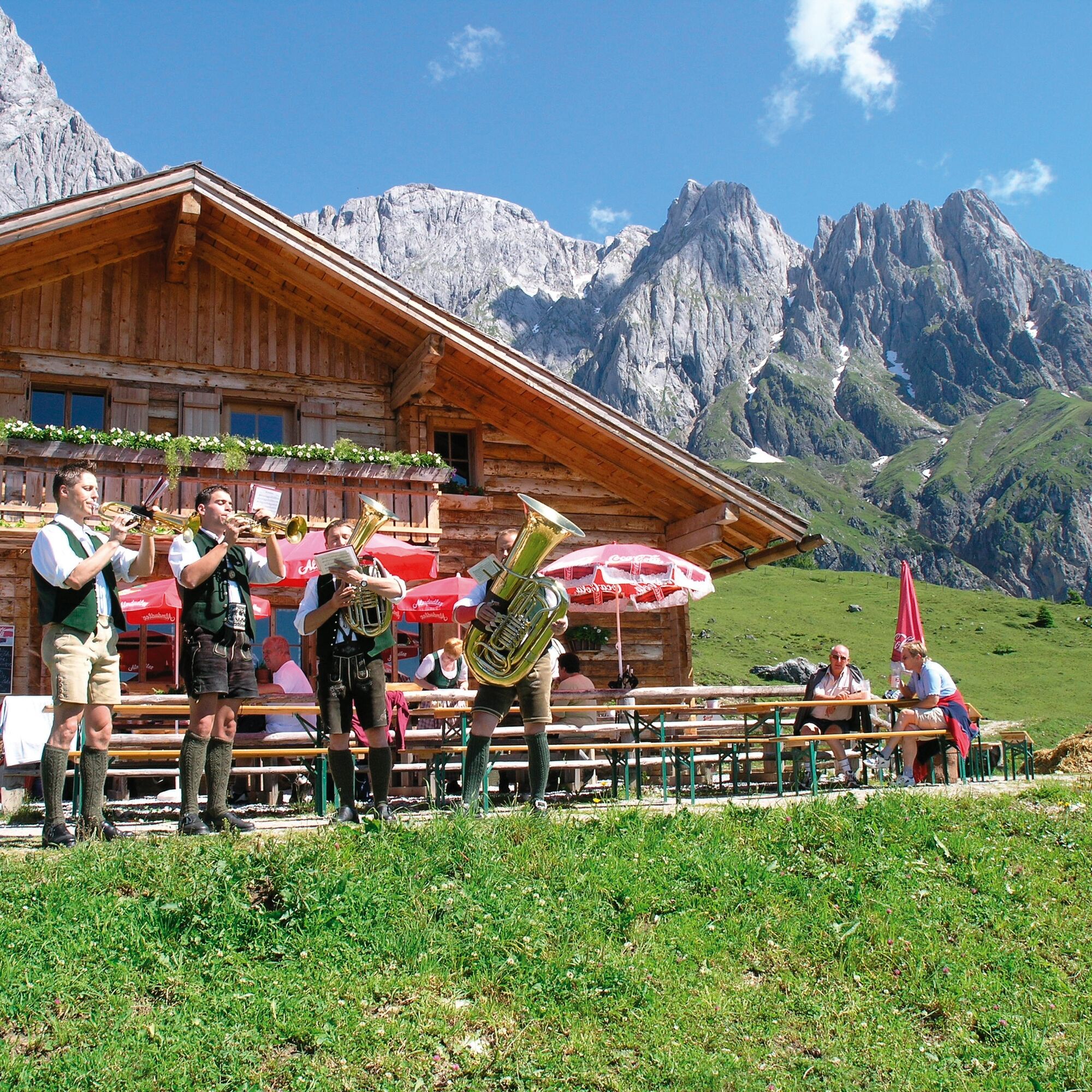
With the whole family on the „traces of the blue gentian“
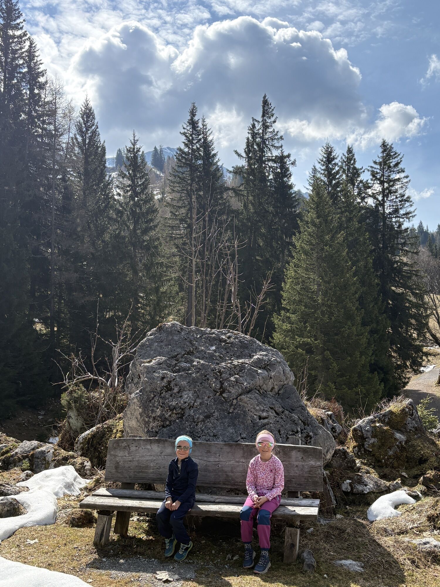
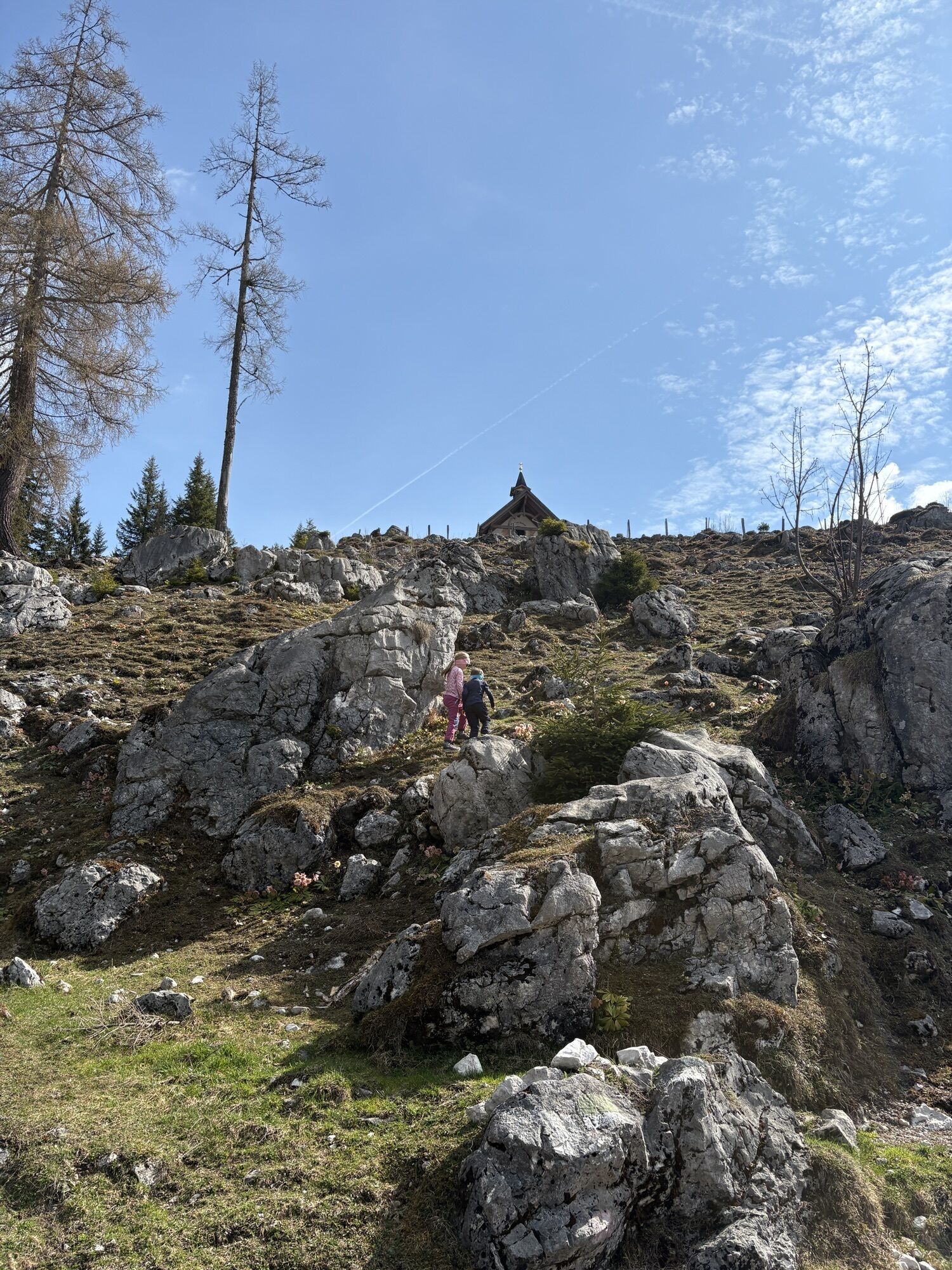
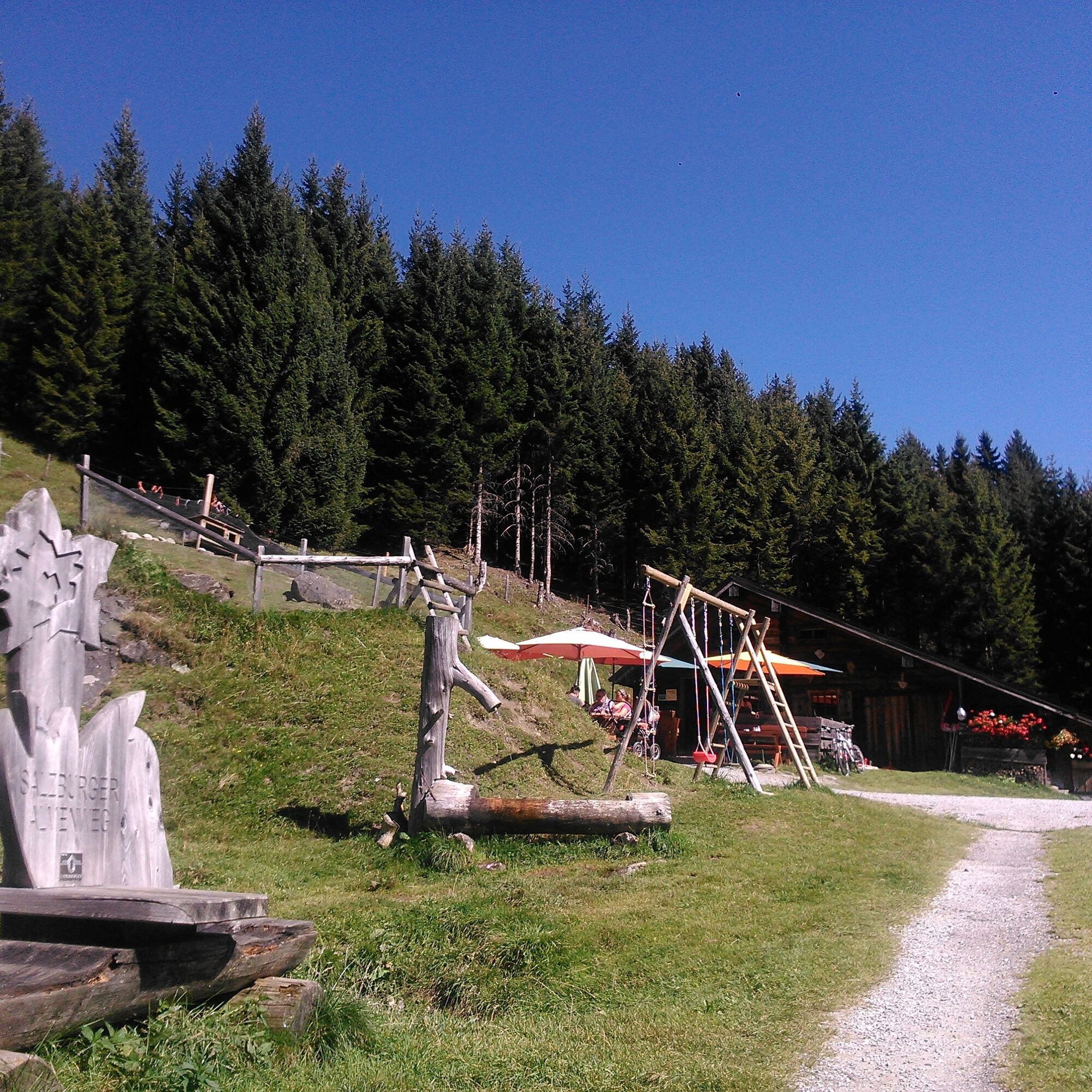
The Salzburger Almenweg is well signposted: the blue blossom of the gentian shows the way over the mountains. A special attraction, especially for children, is collecting hiking stamps.
The „bronze hiking pin“ is already awarded from one stage. The stamp passes and hiking pins are available at all tourist associations in the valley villages.
For even more variety for the whole family, entertaining themed trails such as the „Alles Alm“ path in Obertauern, „Flori's adventure trail“ in Flachau, or the two adventure mountains „Geisterberg“ in St. Johann-Alpendorf and „Wagraini's Grafenberg“ in Wagrain provide fun.
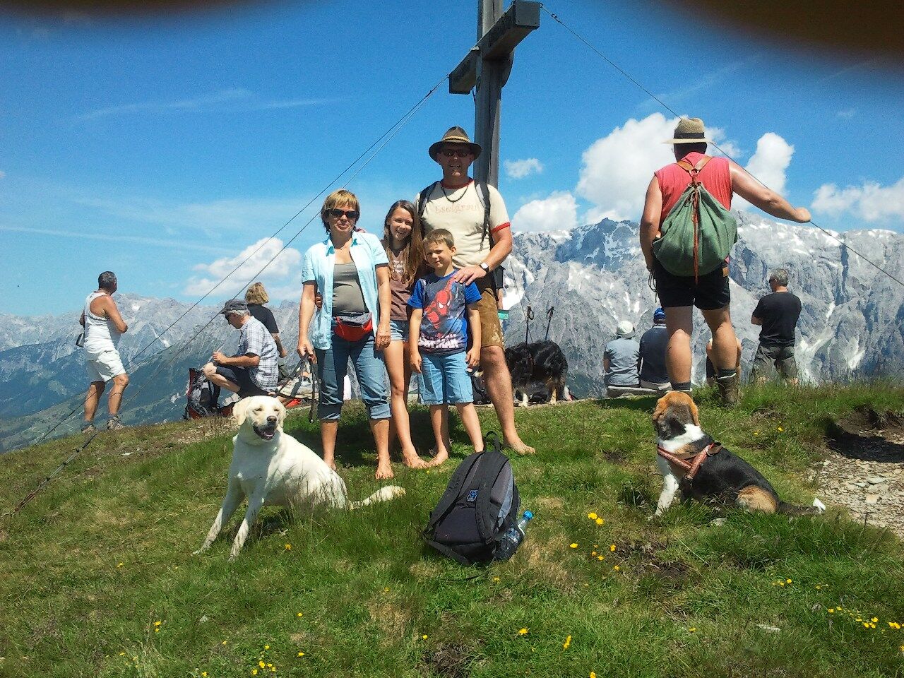
Dogs are also warmly welcome on the Salzburger Almenweg: which huts allow overnight stays with dogs can be found out directly from the hut owners.
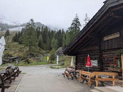
Culinary delights on the Almenweg
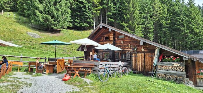
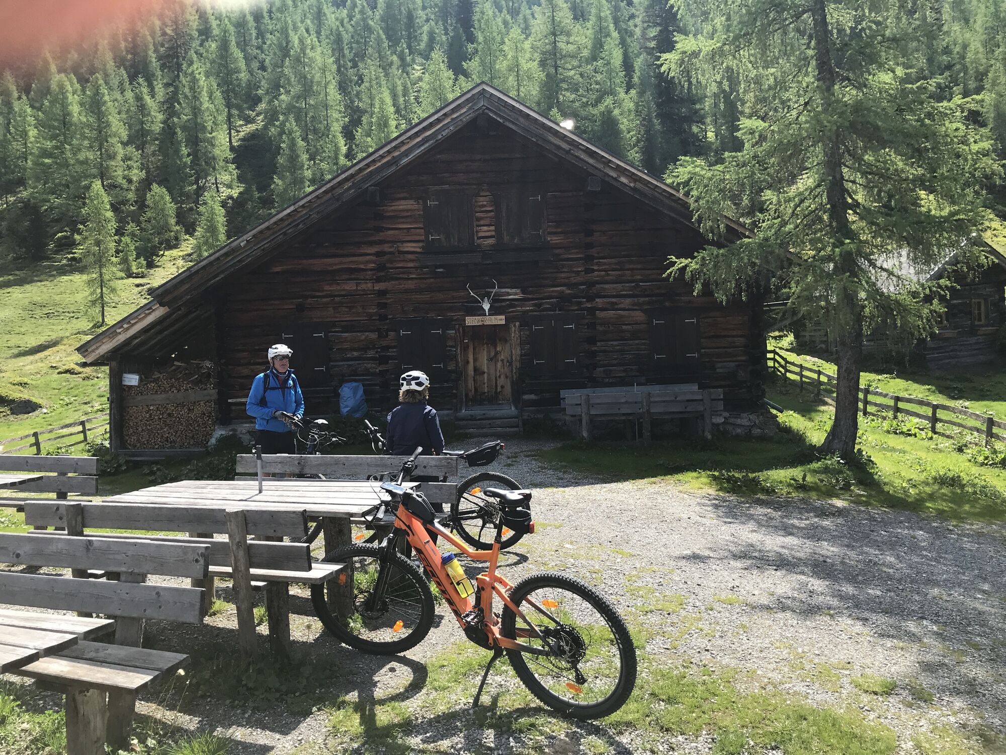
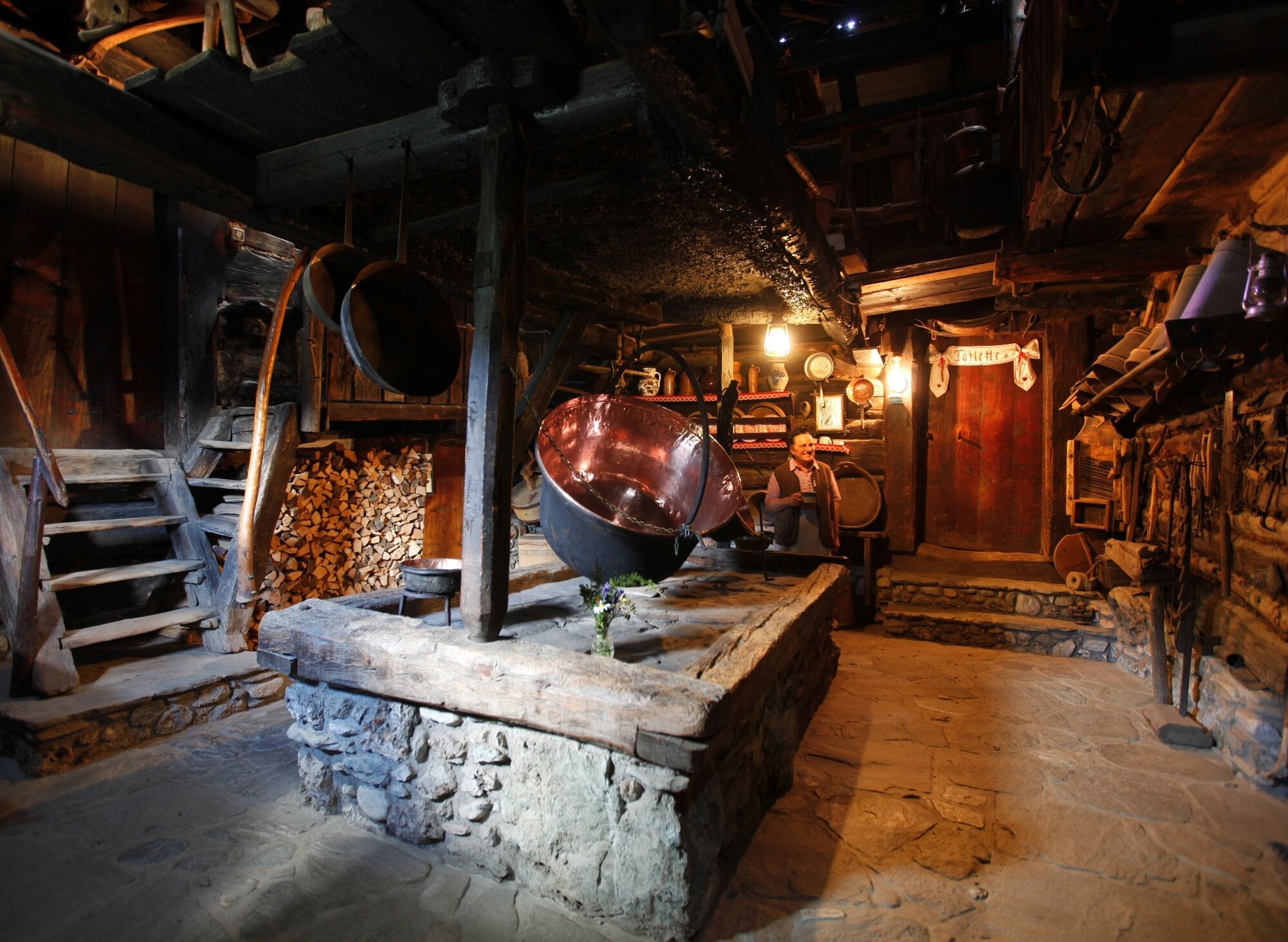
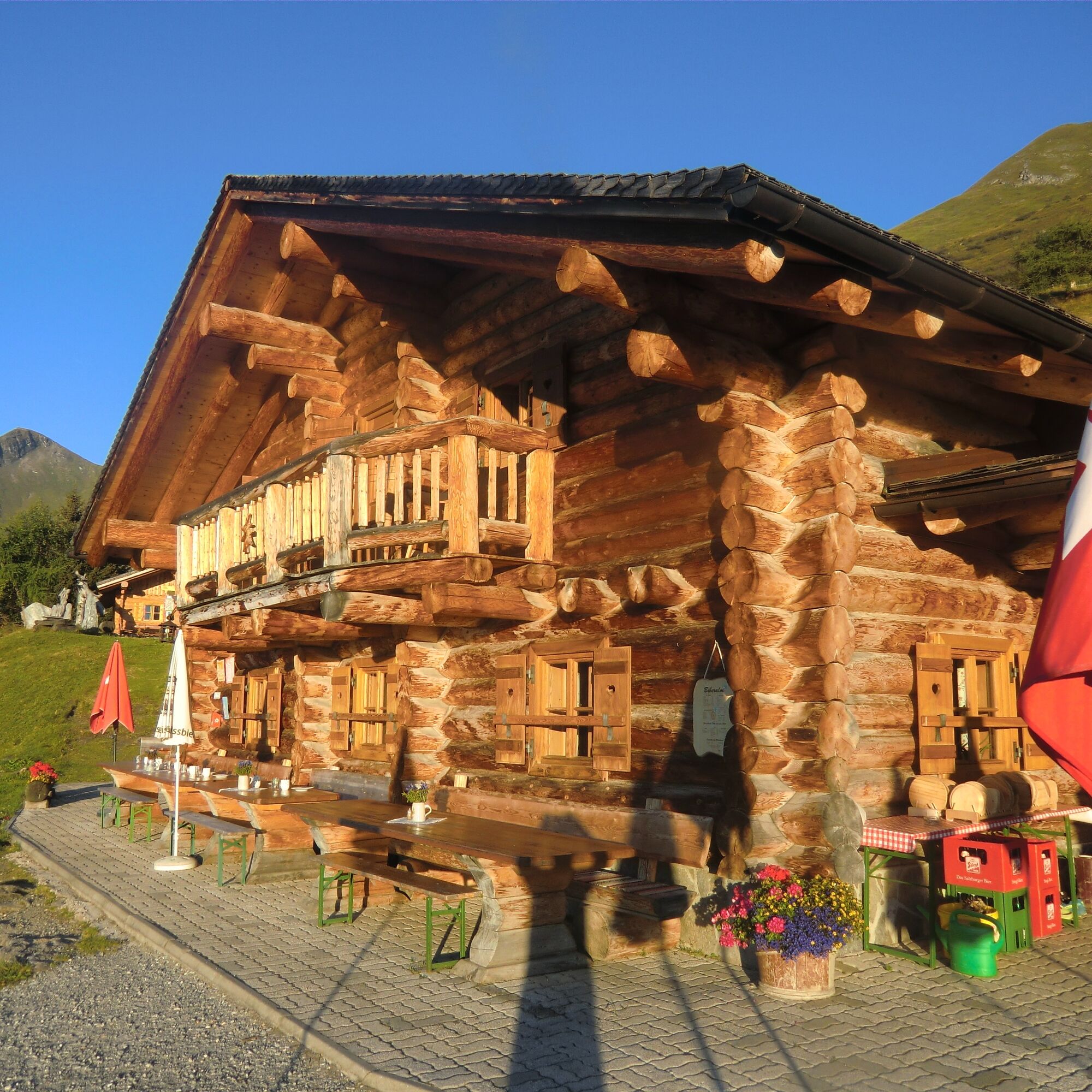
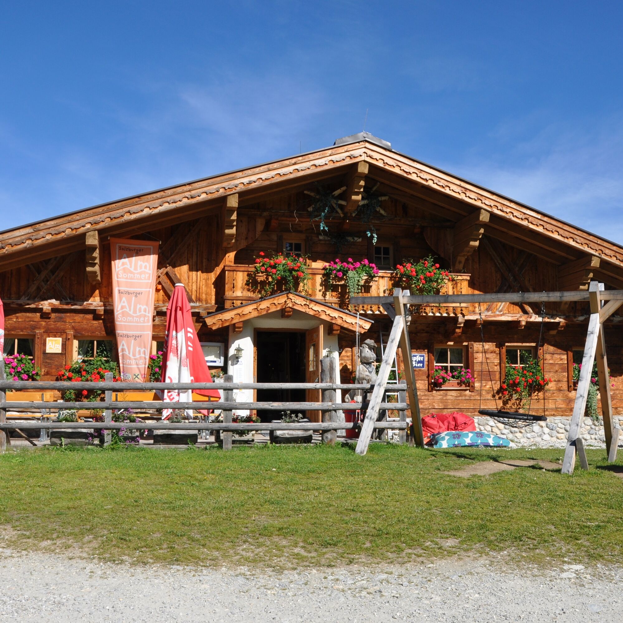
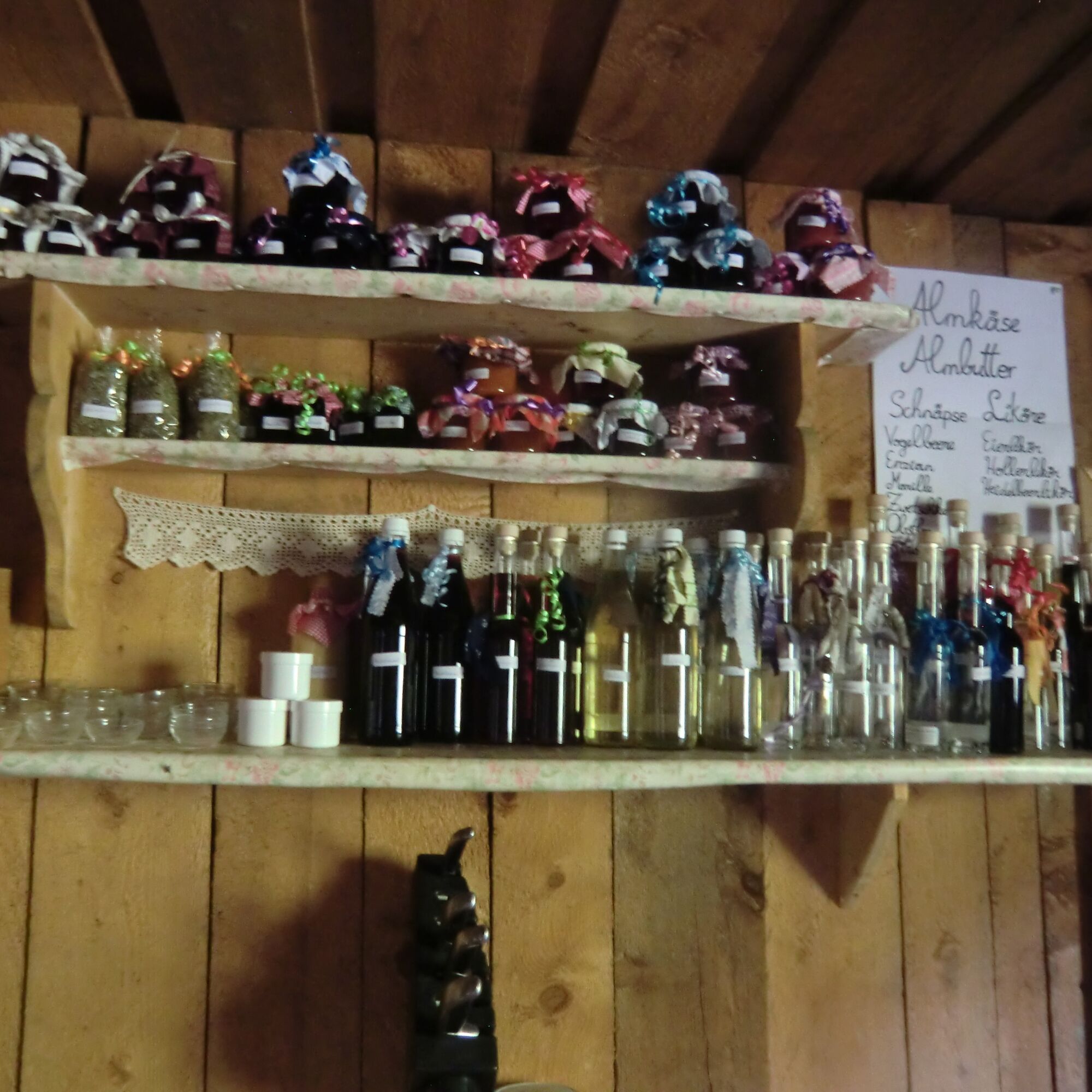
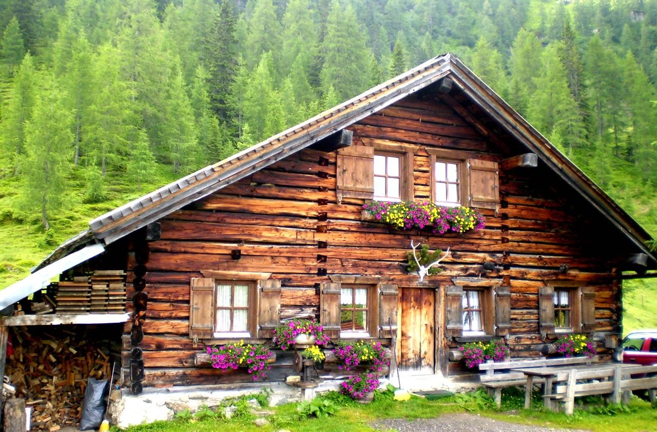
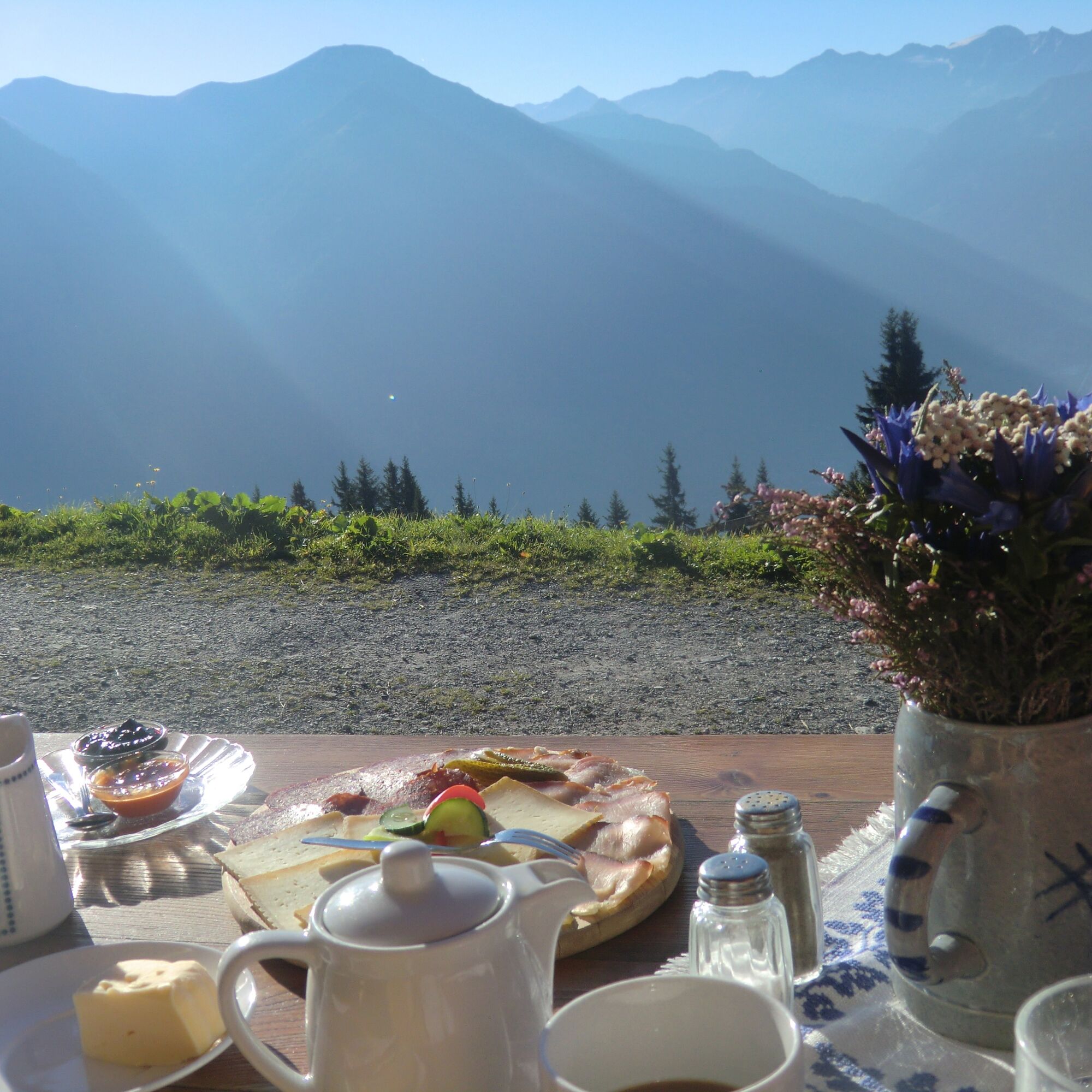
Those who hike also get hungry: What a stroke of luck that it is a tradition on the Salzburger Almen to cater to hikers. The milk from the cows is processed right on site and in the traditional manner: into spicy grey cheese, alpine farmer mozzarella, or curd cheese. Bread is often baked on the alpine pasture, syrup is made from wild herbs or elderberries, schnapps is distilled from rowan berries or pine cones. The bacon comes from the farm's own pig, and the farmer's doughnuts are fried in clarified butter.
Since summer 2022, numerous huts along the Salzburger Almenweg have designated "Almenweg Schmankerl". These dishes are each the culinary flagship of the alpine hut and guarantee diverse gourmet enjoyment when long-distance hiking.
Áno
Áno
Áno
Áno
Here you will find everything about suitable hiking shoes, perfect equipment, and the right walking technique.
To make your day in the mountains truly an unforgettable experience, we give you some tips to stay safe in the mountains.
Arrival by car
Coming from the north (Munich/Salzburg) to Werfen (start of stage 1): via the A8 and A10 Coming from the east (Liezen) to Radstadt (stage 21): via the B320 Coming from the south (Villach) to Flachau (stage 17): via the A10 Coming from the west (Zell am See) to Goldegg (stage 4): via the B311 Coming from the northwest (St. Johann in Tirol) to Dienten am Hochkönig (stage 3): via the B164Arrival by plane
Use the attractive flight connections directly to Salzburg Airport W.A. Mozart from many European cities to the Salzburger Land. More than 25 airlines bring you, for example, from Berlin, Frankfurt, Cologne, Dublin, Amsterdam, London, Istanbul, and many other European cities directly to Salzburg's W.A. Mozart Airport.
From there, you can continue comfortably by taxi, public transport, or rental car to the Salzburger Almenweg.
Travel by train completely relaxed and without traffic disruptions to the Salzburger Almenweg.
Within Austria, you can conveniently reach the starting points of the Salzburger Almenweg with the Austrian Federal Railways. Use the ÖBB timetable information for travel planning (also works across borders).
Information about parking facilities can be found in the descriptions of the individual stages or the staff of the local tourist associations will be happy to provide you with further details.
T2
All further information about the Salzburger Almenweg can be found here.
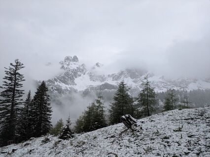
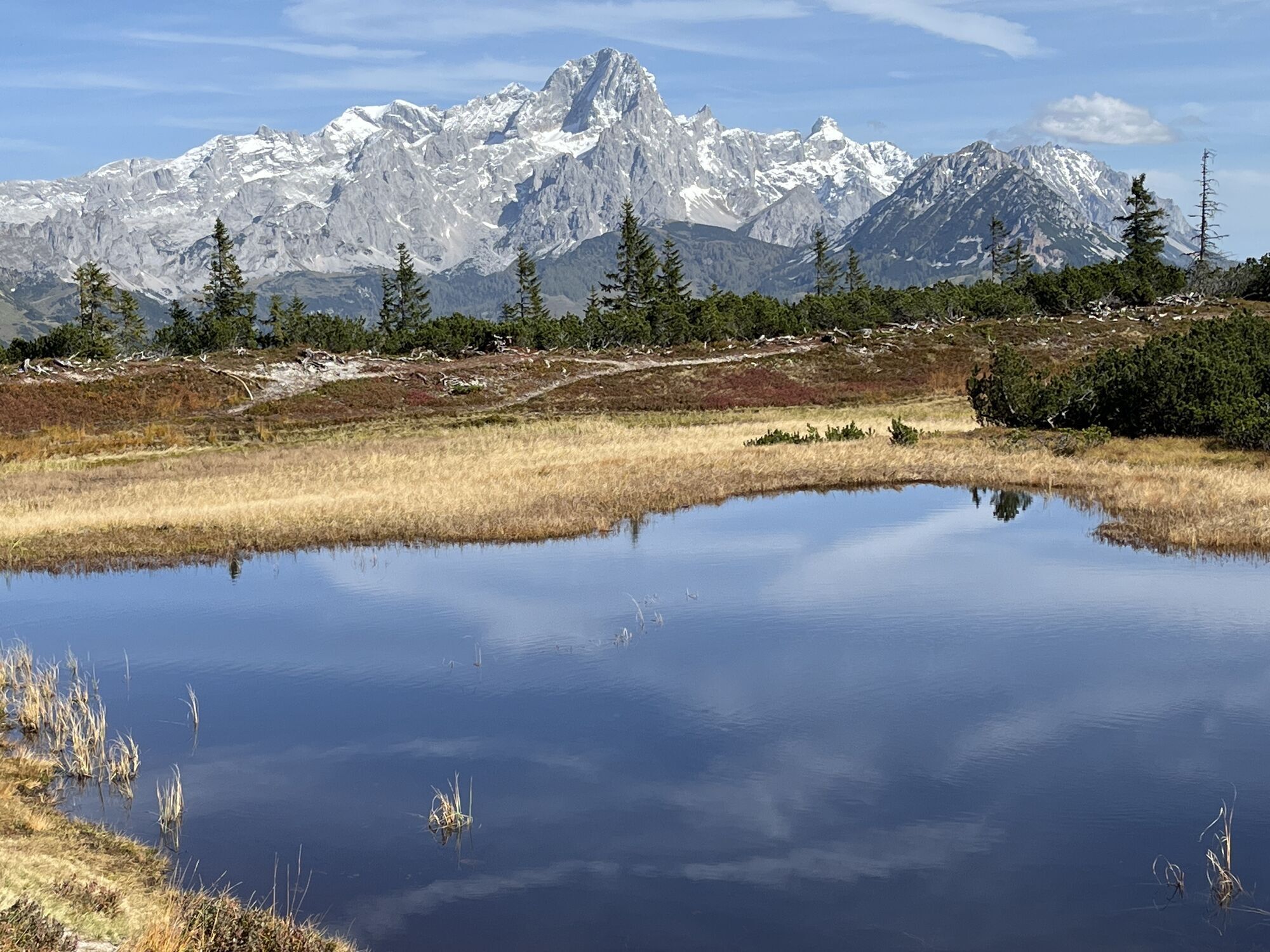
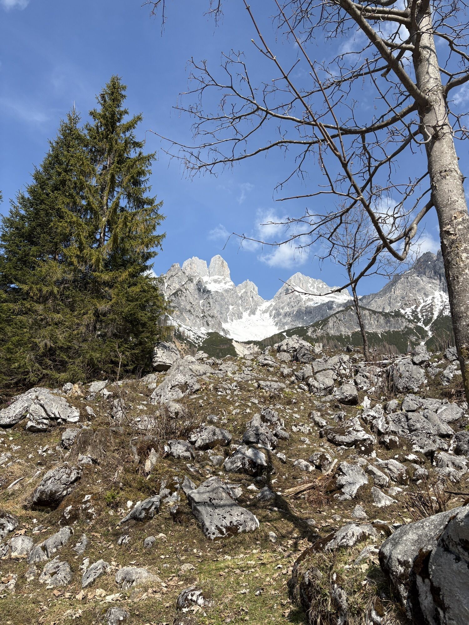
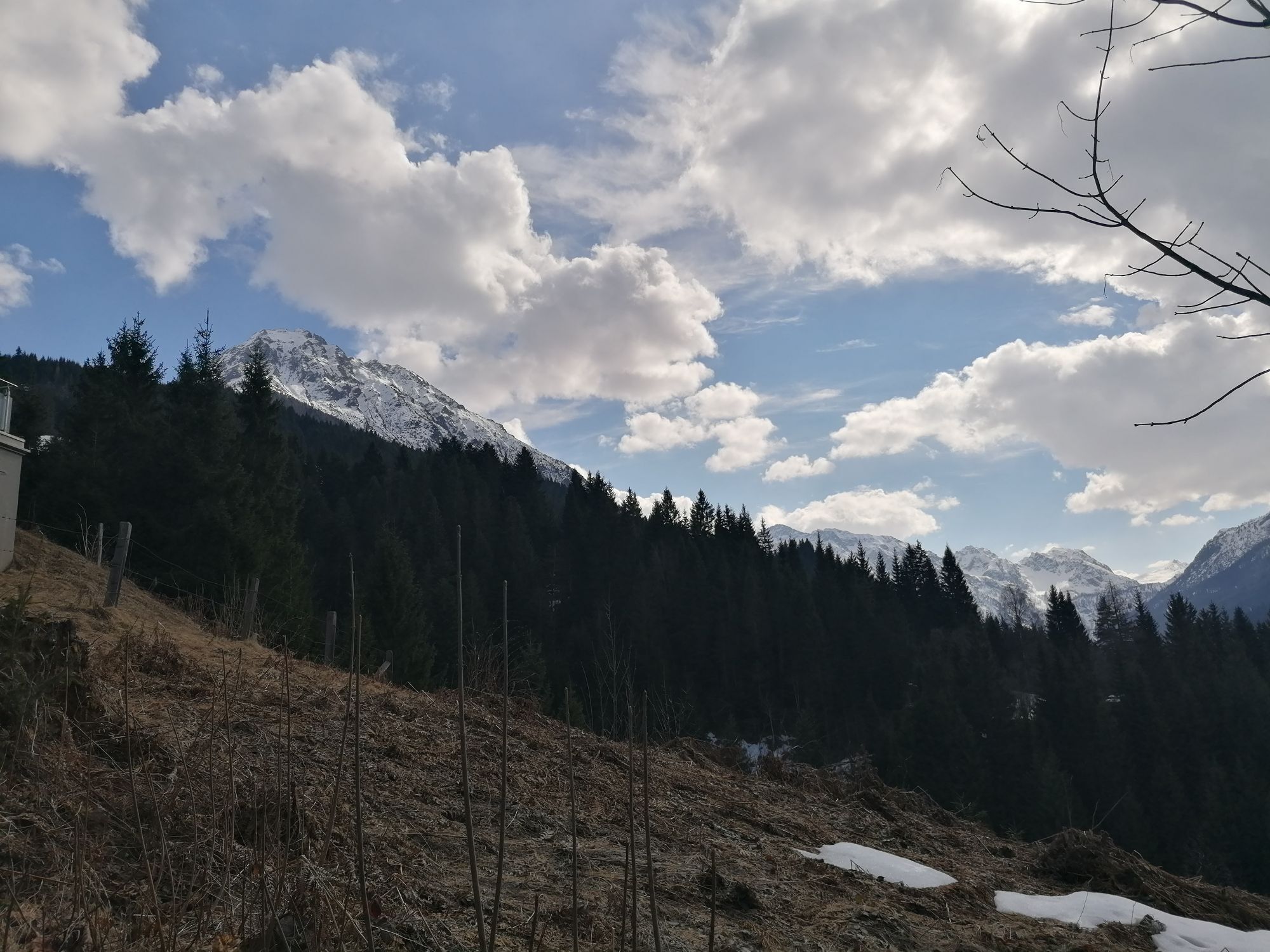
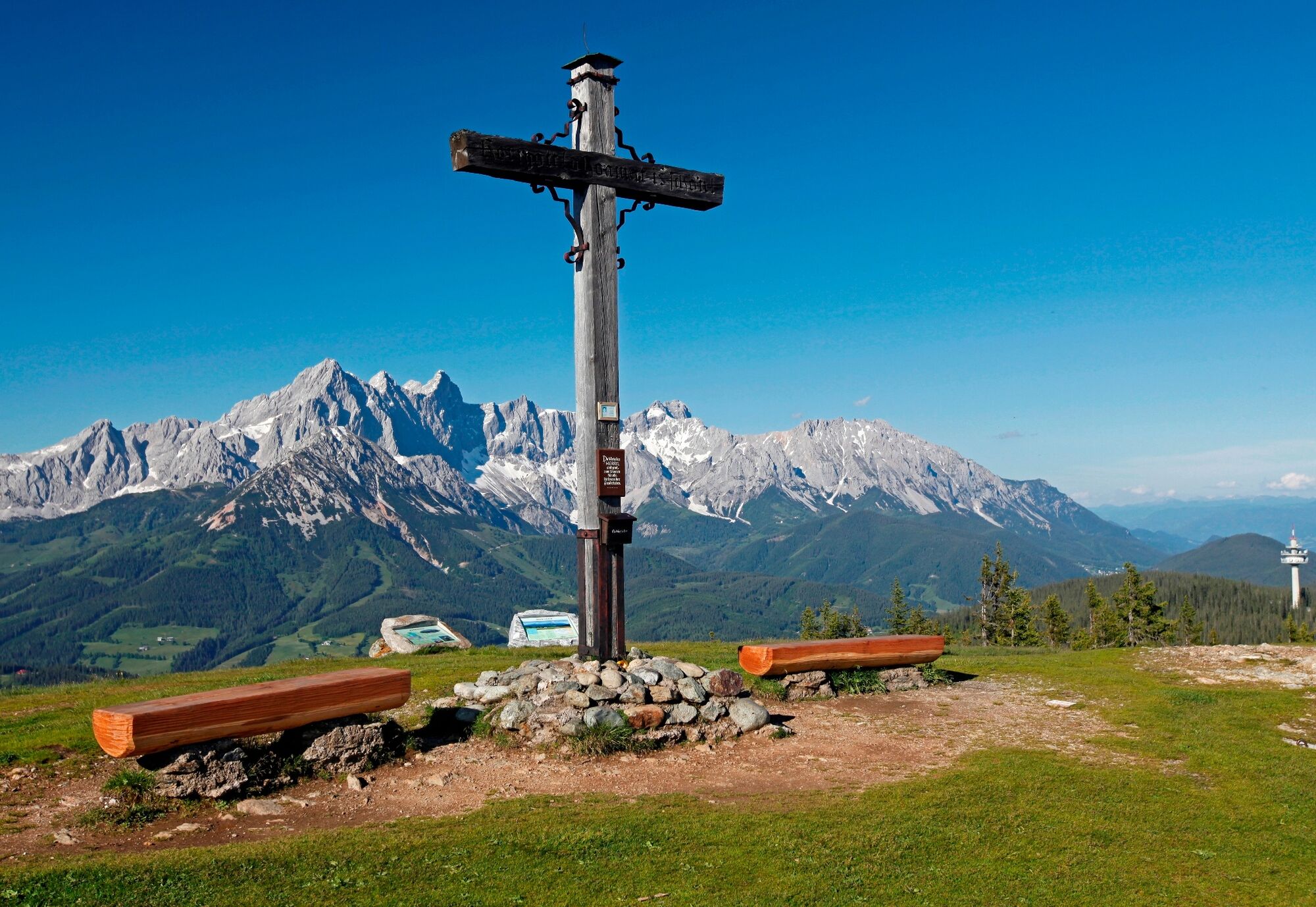
The stages are as varied as they are different in difficulty level and run 90 percent above 1,000 meters above sea level. Many of them are suitable for families with children as well as beginners. Others are reserved for experienced mountaineers and summit challengers. In any case, the Salzburger Almenweg is a path for all those who are drawn to the mountains.
Webové kamery z prehliadky
-
Grünegg Alm & Edelbrennerei
-
Stubnerkogel Bergstation Südseite
-
Graukogel Bergstation
-
Radstadt - Wasserwerk
-
Zauchensee - Rosskopf
-
Dienten - Übergossene Alm Resort
-
Dienten - Almsee
-
Dienten - Übergossene Alm Resort
-
SUN HOUSE Flachauwinkl/Mittelstation
-
Seekarhaus 3
-
Papageno Bergstation
-
Papageno Bergstation
-
Papageno Bergstation
-
Papageno Bergstation
-
Papageno Bergstation
-
Papageno Bergstation
-
Papageno Bergstation
-
Papageno Bergstation
-
Bergstation Vorderfager
-
Radstadt - Rossbrand
-
Dienten, Bürglalmabfahrt
-
Lungötz - Berghotel Lämmerhof
-
Schlossalm Funslope
-
Hackelhütte
-
Gletscher - Eissee
-
Gletscher - Panorama
-
Pfarrwerfen, Eulersberg
-
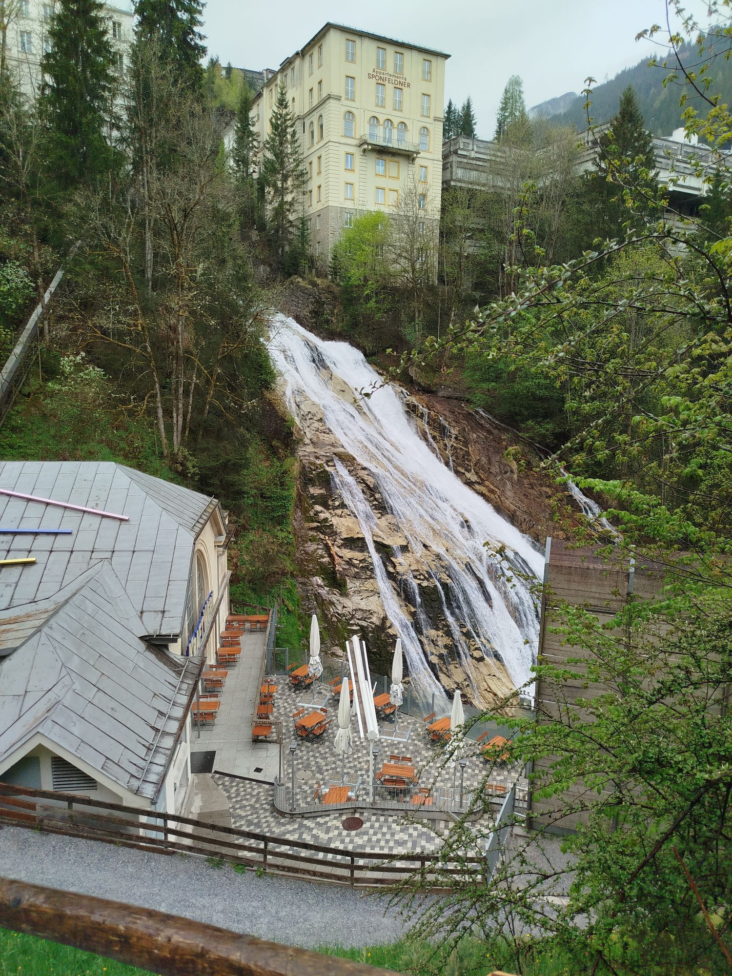
Bad Gastein
-
Bad Gasteiner Wasserfall
-
Wagrain / Hotel Wagrainerhof
-
Hundsfeldsee
-
Schaidberg
-
Zehnerkar
-
Obertauern - Aparthotel Weninger Alm
-
Haitzingalm
-
Mooslehen Berg
-
Snow Space Salzburg - Flying Mozart
-
Obertauern - Hundskogel
-
Dorfgastein - Bergl
-
Embach
Obľúbené výlety v okolí
-
4,9
Großarl: Aualm - Liechtensteinkopf - Aukopf - Schuhflicker - Schuhflickersee
strednáTuristika 5,84 km -
5,0
Großarl: Alpine pasture circuit in Ellmautal
strednáTuristika 9,69 km -
4,1
Tappenkarsee Kleinarl
strednáTuristika 9,11 km -
4,6
Ski route Lackenkogel
strednáSkitour 7,82 km -
4,8
Großarl: Mooslehenalm – Niggeltalalm – Viehhausalm
strednáTuristika 5,44 km -
4,5
Großarl: Saukaralm - Saukarkopf - Gerstreitalm
strednáTuristika 9,11 km -
4,2
Großarl: Unterwandalm - Karseggalm - Breitenebenalm
strednáTuristika 5,93 km -
4,8
Liechtensteinklamm mit Helix
svetloTematická trasa 3 km -
5,0
Hüttschlag: Karteistörl - Tappenkarsee - Draugsteintörl - Draugsteinalmen
strednáTuristika 13,5 km -
4,3
Ski tour Red 8er Wagrain
strednáSkitour 4,12 km
Turistika a stopovanie


Nenechajte si ujsť ponuky a inšpiráciu na ďalšiu dovolenku
Vaša e-mailová adresa bol pridaný do poštového zoznamu.