






Bike & Hike Blausee | Route 15
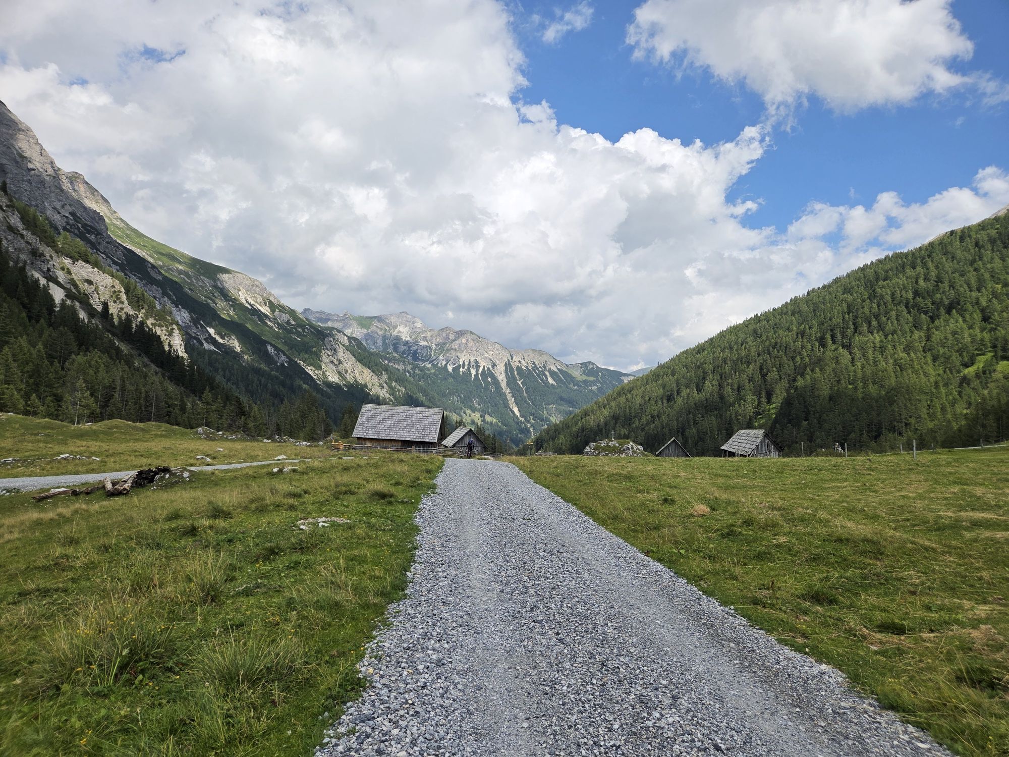
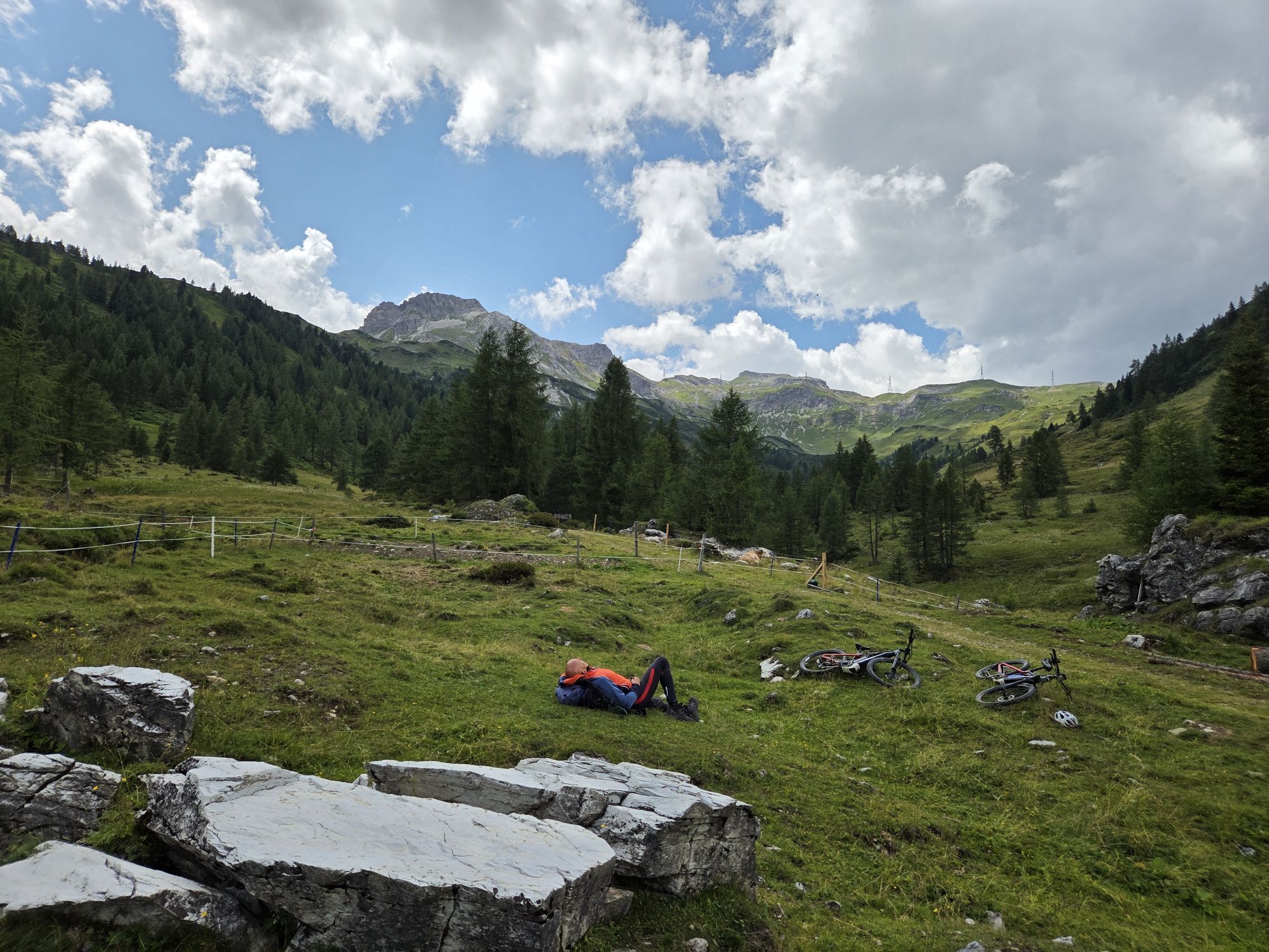
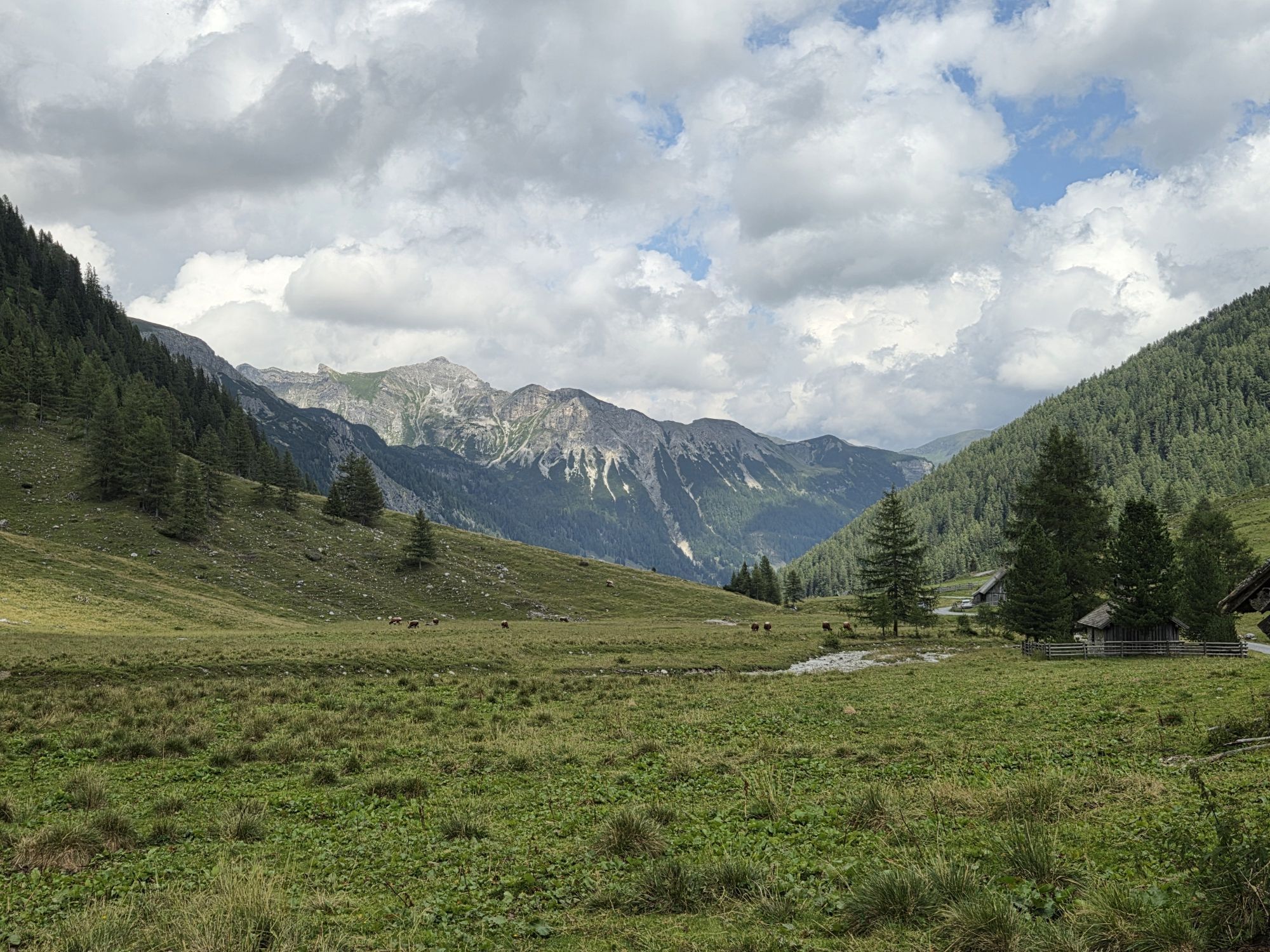
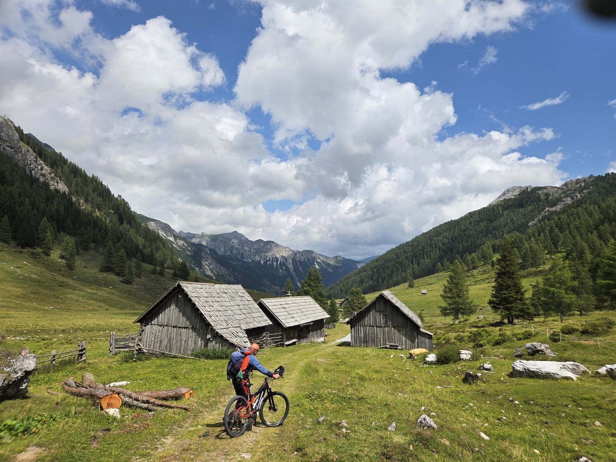
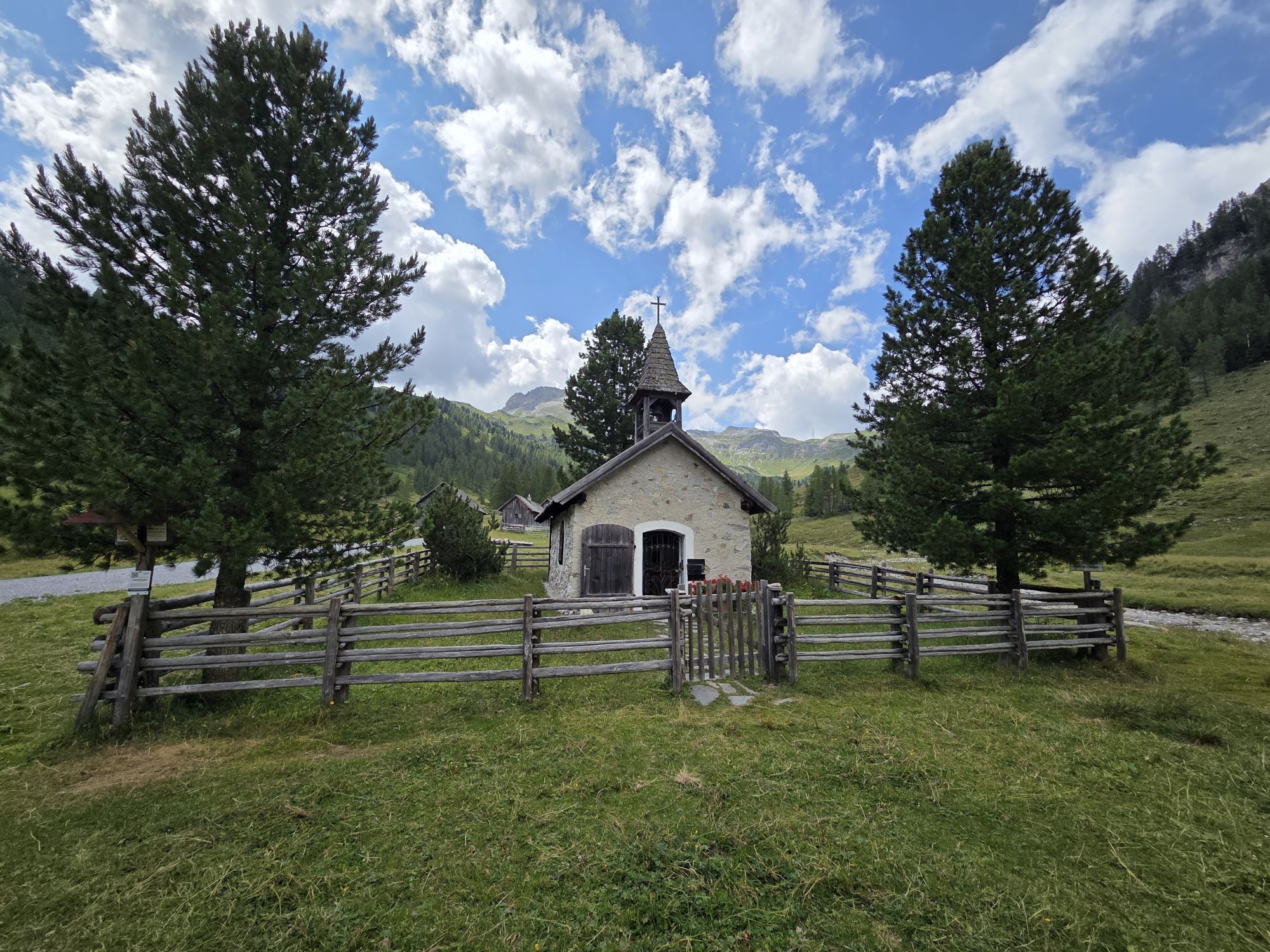
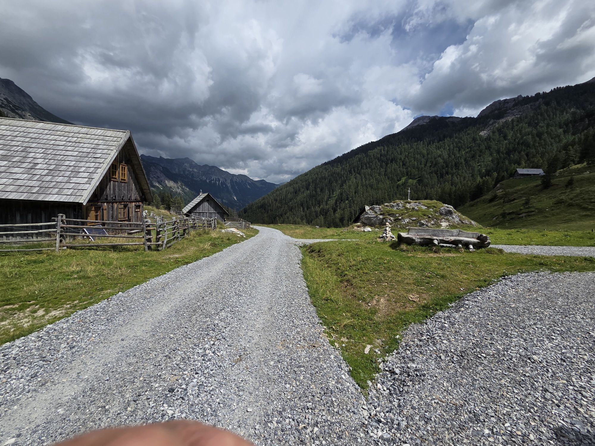

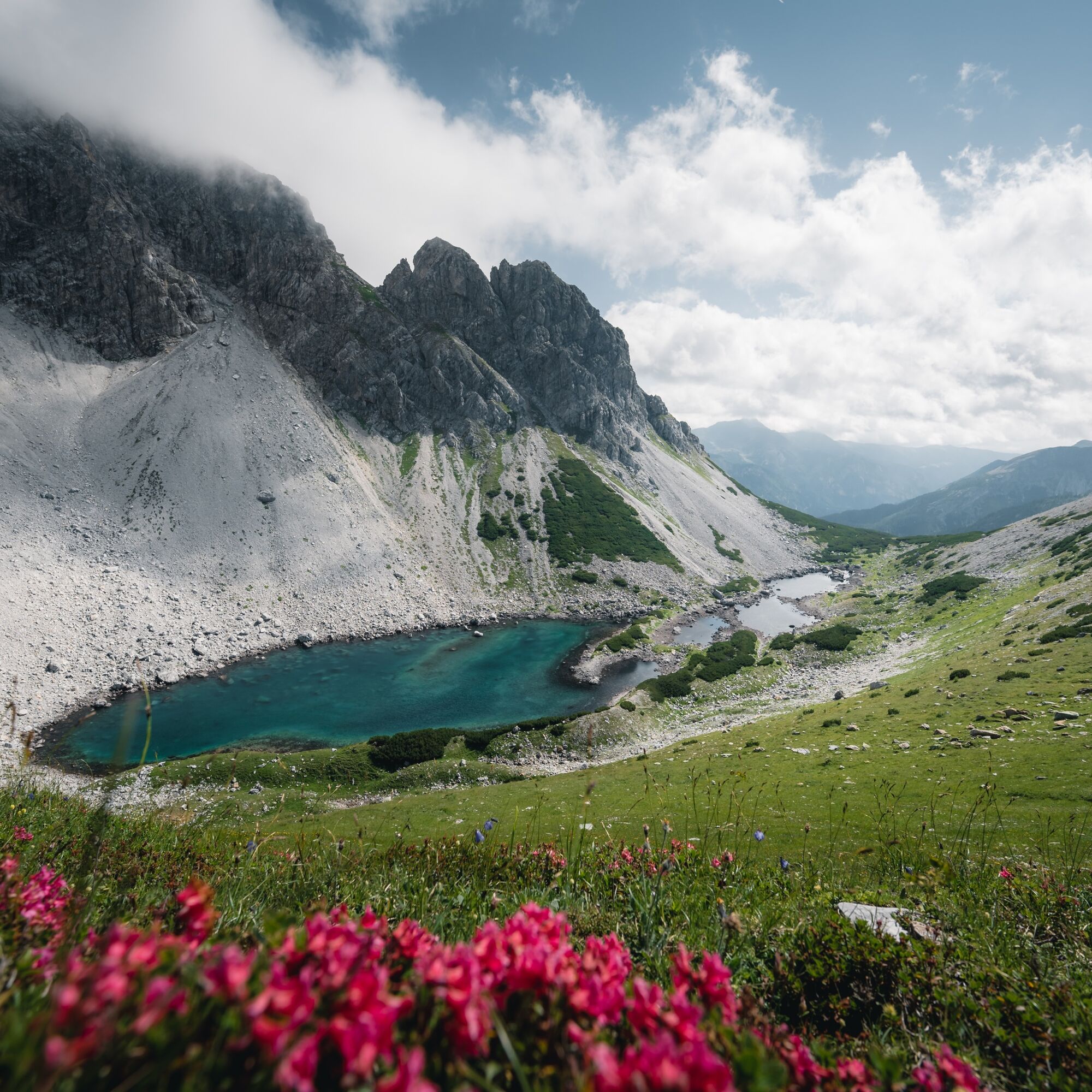
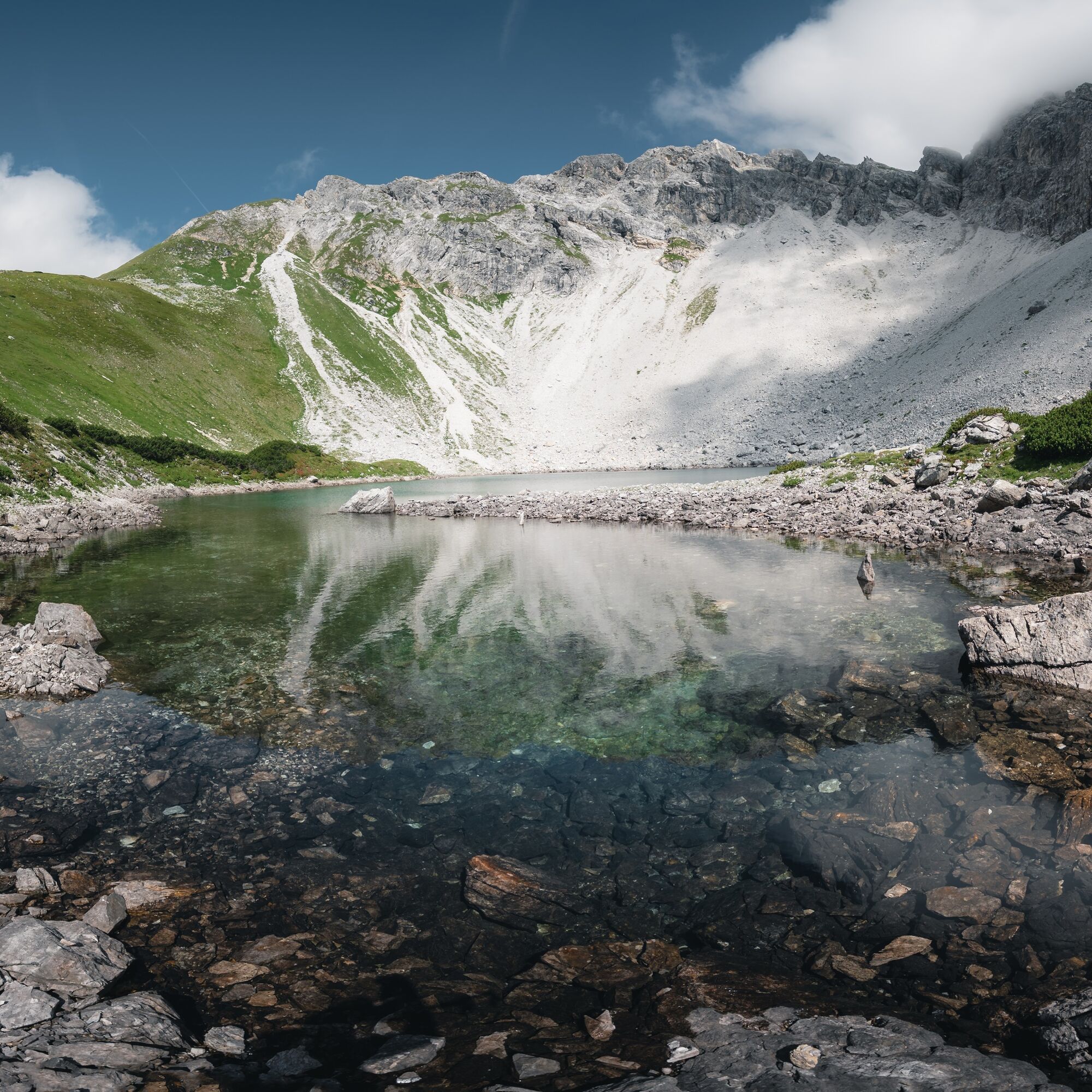
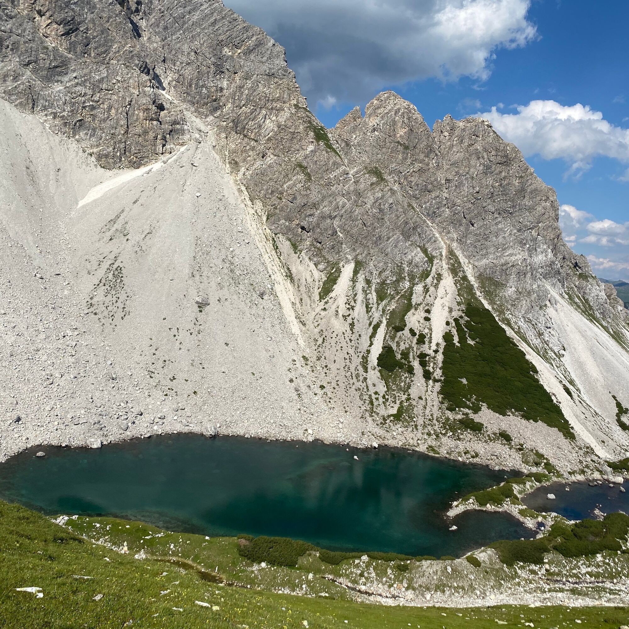
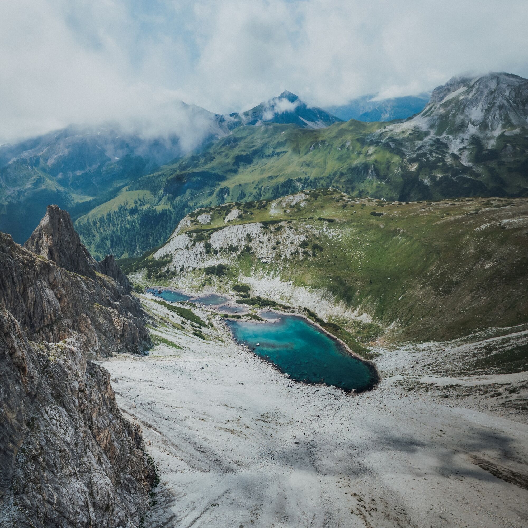
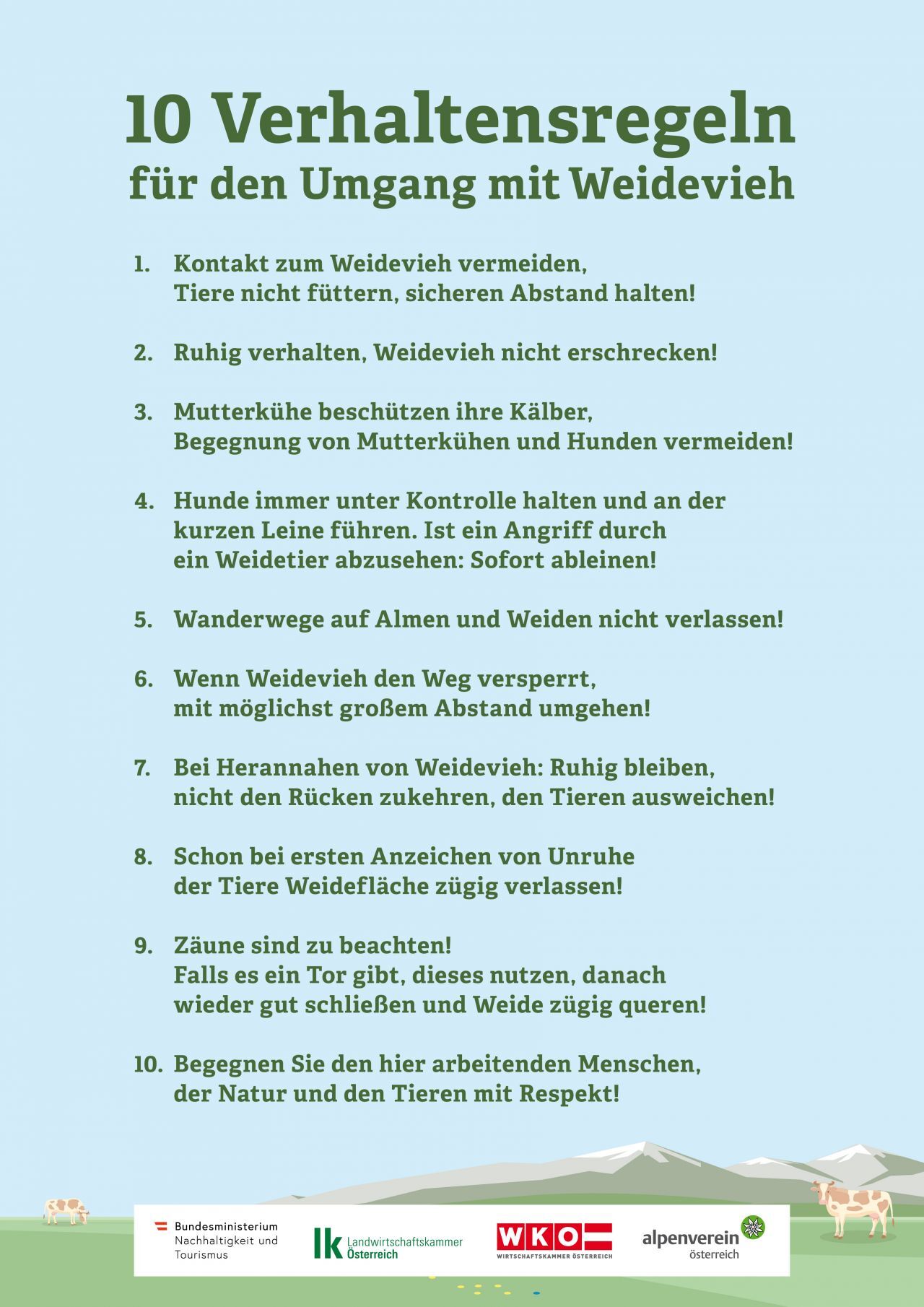

The route leads along gravel forest roads into the tranquil Lantschfeld Valley (approx. 1 hour) and always runs along the stream of the same name. After about six kilometers, biking is no longer allowed, as general riding prohibition begins here. Afterwards, continue on foot towards Blausee.
P.S.: The entire route can be comfortably walked on foot; as a faster option, it is recommended to cover the flat stretch into the valley by mountain bike up to the end of the bike path. A culinary stop at the Genossenschaftsalm or Müllneralm should definitely be planned.
Áno
Bring a bike lock for the Bike & Hike parking lot for the bicycles!
Sturdy footwear is an advantage!
ARRIVAL BY CAR
Arrive safely, quickly, and easily at your holiday destination. The hike is easily accessible via well-developed roads – and from all directions!
Access from the North
Motorway Munich - Salzburg - A10 Tauern Motorway - Radstadt motorway exit, Exit 63 - B99 Katschberg federal highway - Radstadt - Gnadenalm - Obertauern pass height - Tweng Lantschfeld
Access from the South
Villach - A10 Tauern Motorway - motorway exit toll station St. Michael, Exit 104 - Mauterndorf - Tweng Lantschfeld
Access from the East
Vienna - A2 - S6 - Semmering - A9 Pyhrn Motorway - Liezen B320 - Radstadt or Judenburg - Murtal federal highway - Murau - Tamsweg - Mauterndorf - Tweng Lantschfeld
TIP: If you want to arrive by public transport, the Postbus line 280 stops directly in Obertauern.
Online bus timetable information
You can park free of charge in the Twenger Lantschfeld parking lot. This parking lot is also the starting point for the Bike & Hike route.
Walking times calculated according to the specifications of the Alpine Club.
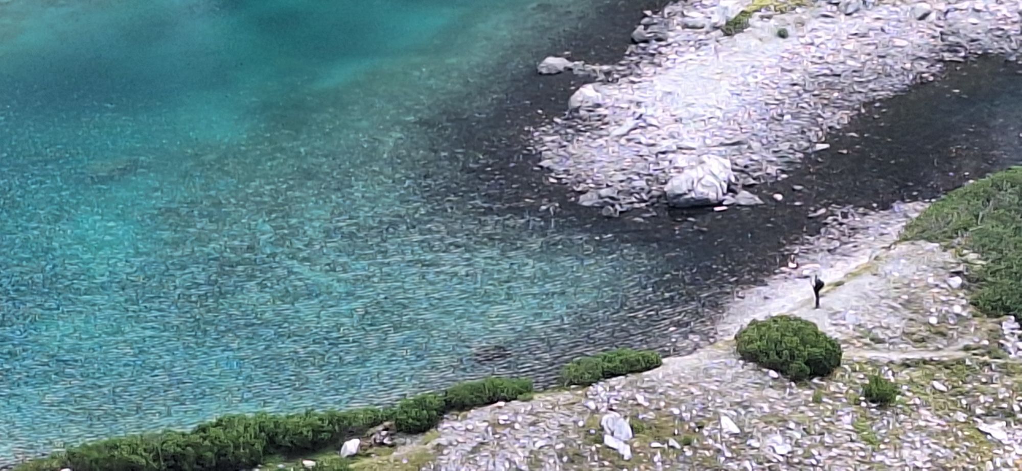
Don't forget your camera and don't miss a swim in the Blausee.
Insider tip: Visit the Tennfall!

Webové kamery z prehliadky
-
Plattenkar
-
Grünwaldkopf
-
Zehnerkar
-
Sporthotel Snowwhite
-
Hotel Cinderella
-
Sonnenterasse Edelweissalm
-
Hotel Garni Gloria
-
Lürzeralm
-
Hotel Kesselspitze
-
Hotel Schneider
-
Breitlehenalm
-
Gamsleiten
-
Obertauern - Haus Petergstamm
-
Schaidberg
-
Zehnerkar
-
Obertauern - Aparthotel Weninger Alm
-
Obertauern - Gamsleiten
-
Hotel “Der Sailer”
-
Gamsleiten
Získajte prehľad
Vždy naživo na mieste s viac ako 9 500 webovými kamerami. bergfex Ako používateľ Pro si teraz môžete pozrieť príslušné webové kamery pre mnohé zájazdy v aplikácii zájazdy z. Môžete si tak priamo prezerať aktuálne podmienky.
Obľúbené výlety v okolí
-
5,0
Hüttschlag: Karteistörl - Tappenkarsee - Draugsteintörl - Draugsteinalmen
strednáTuristika 13,5 km -
4,9
Rundwanderweg von der Fallhausalm und Vögeialm übers Klamml zur Oberhütte am See
strednáTuristika 10 km -
4,2
Tappenkarsee Kleinarl
strednáTuristika 9,11 km -
4,6
Ski route Lackenkogel
strednáSkitour 7,82 km -
4,8
Obertauern to the Johannes Waterfall
strednáTuristika 9,39 km -
5,0
4-Gipfel-Tour
strednáHorská turistika 6,40 km -
5,0
Twengsee
strednáTuristika 9,66 km -
4,8
Steirische und Lungauer Kalkspitze über das Kranzl
ťažkéTuristika 11,2 km -
4,6
Mosermandl Windischscharte, Salzburger Land/Österreich
ťažkéTuristika 14,6 km -
4,6
Tappenkarseehütte von Schwabalm
svetloTuristika 5,04 km
Turistika a stopovanie


Nenechajte si ujsť ponuky a inšpiráciu na ďalšiu dovolenku
Vaša e-mailová adresa bol pridaný do poštového zoznamu.





